Location Instance
Modes
Levels of detail in the response - normal, detailed
Example - /locations/?mode=detailed
Filters
Parameters - active, country_code, id, name, name__contains, total_landing_count, total_landing_count__gt, total_landing_count__gte, total_landing_count__lt, total_landing_count__lte, total_launch_count, total_launch_count__gt, total_launch_count__gte, total_launch_count__lt, total_launch_count__lte
Example - /locations/?country_code=NZL
Search
Fields searched - country__alpha_3_code, name
Example - /locations/?search=Cape Canaveral
Ordering
Fields - name, total_landing_count, total_launch_count
Example - /locations/?ordering=-total_launch_count
Number of results
Use limit to control the number of objects in the response (max 100)
Example - /locations/?limit=2
Format
Switch to JSON output - /locations/?format=json
Help
Find all the FAQs and support links on the documentation homepage - lldev.thespacedevs.com/docs
GET /2.3.0/locations/147/?format=api
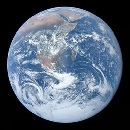
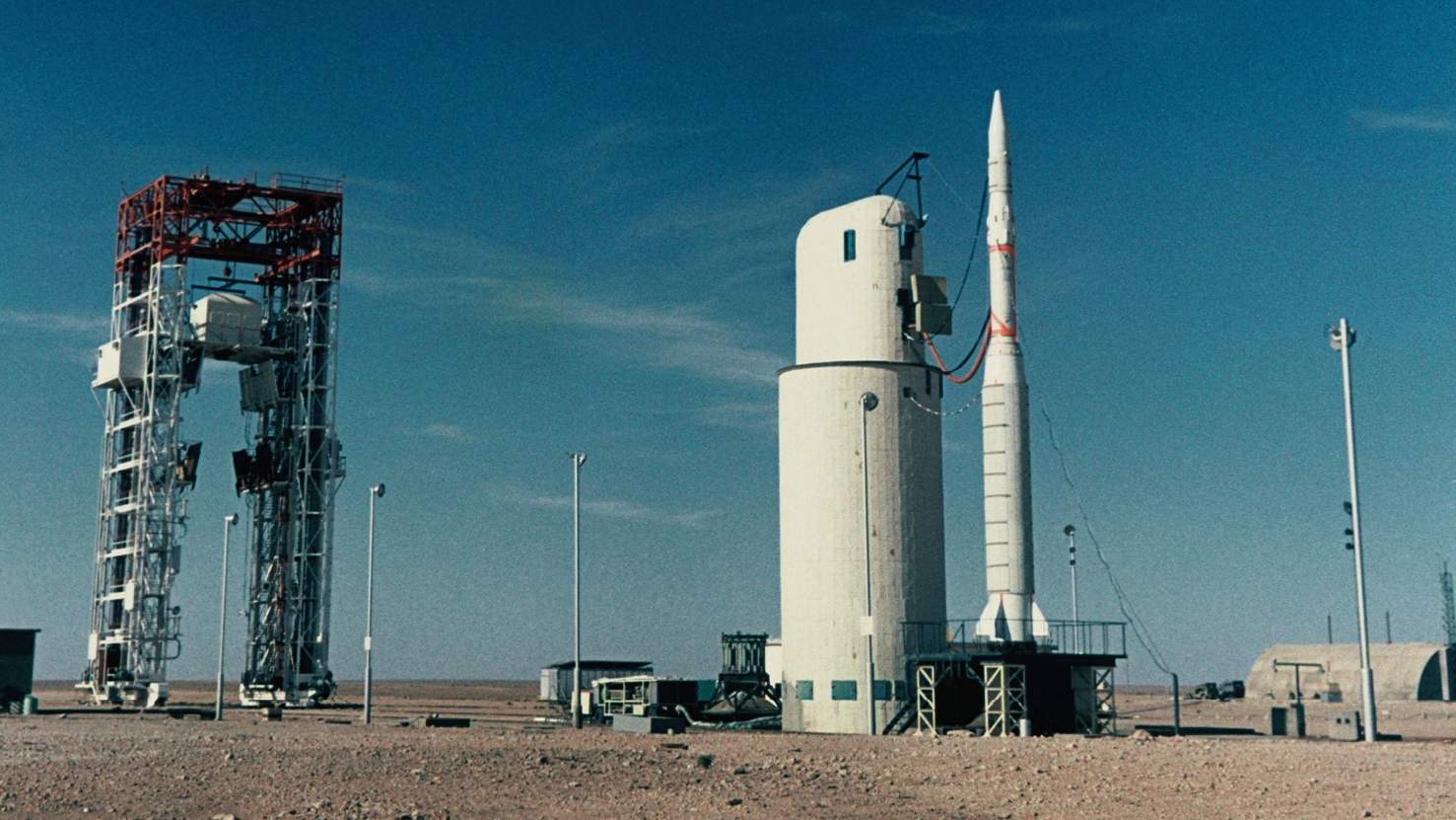
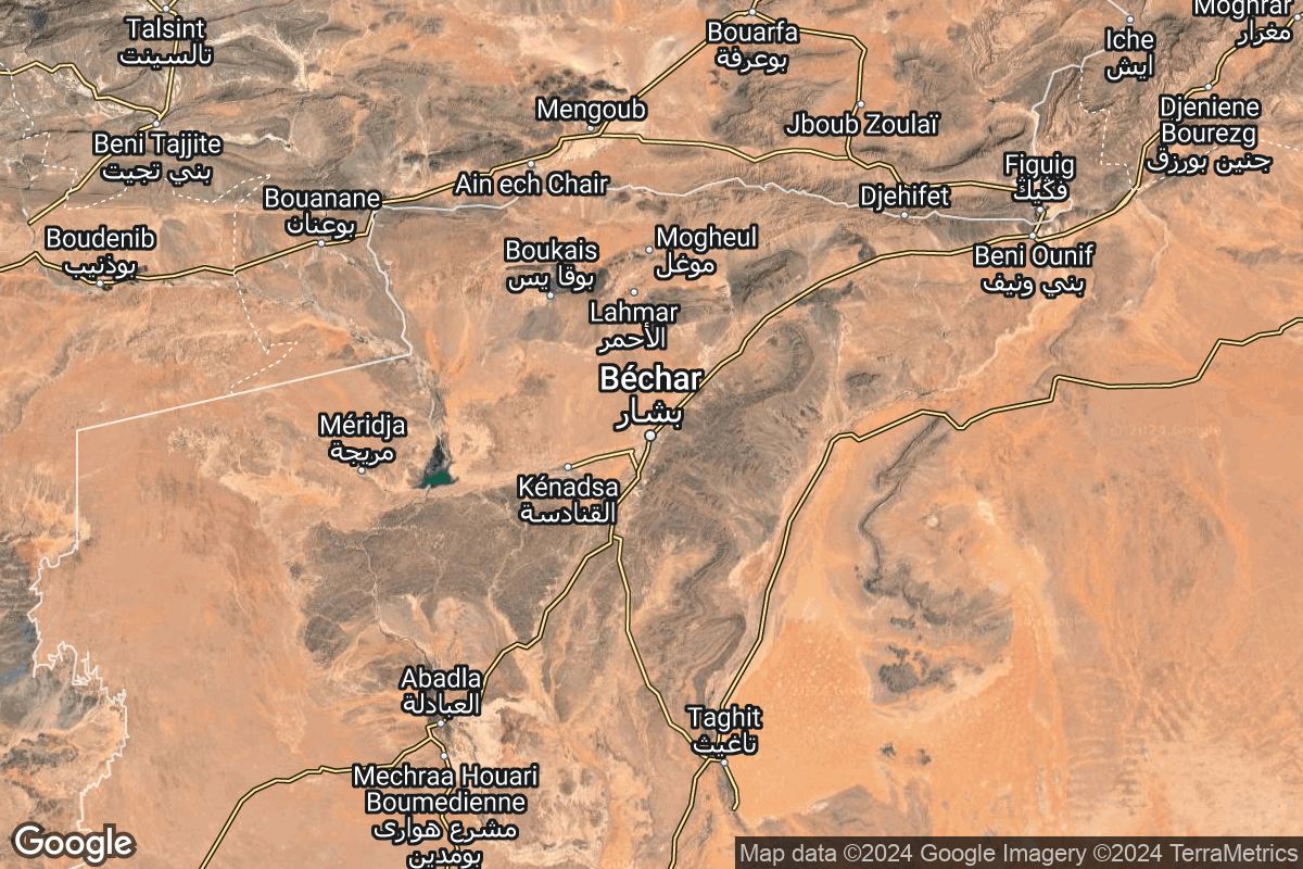
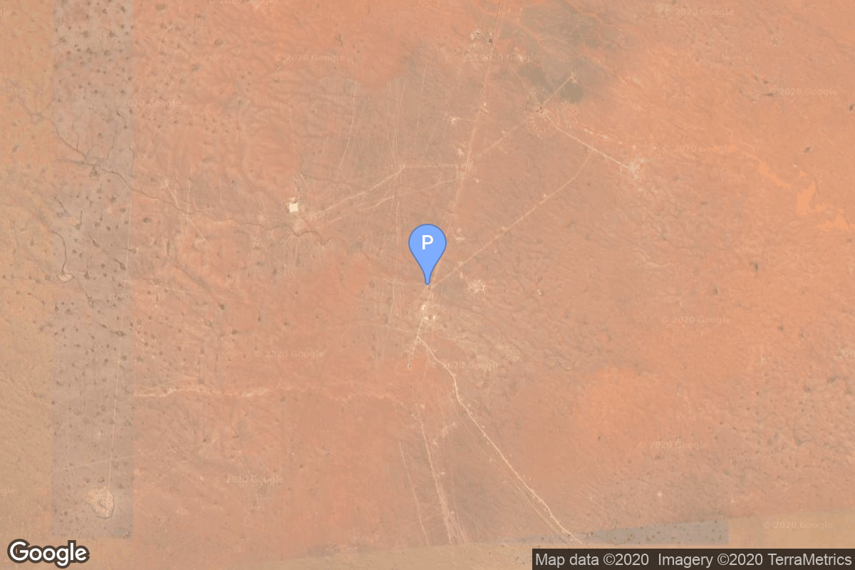
{ "response_mode": "detailed", "id": 147, "url": "https://lldev.thespacedevs.com/2.3.0/locations/147/?format=api", "name": "Interarmy Special Vehicles Test Centre, French Algeria", "celestial_body": { "response_mode": "normal", "id": 1, "name": "Earth", "type": { "id": 1, "name": "Planet" }, "diameter": 12742000.0, "mass": 5.972168e+24, "gravity": 9.80655, "length_of_day": "1 00:00:00", "atmosphere": true, "image": { "id": 2040, "name": "Earth (Apollo 17)", "image_url": "https://thespacedevs-dev.nyc3.digitaloceanspaces.com/media/images/earth_2528apol_image_20240402194304.jpeg", "thumbnail_url": "https://thespacedevs-dev.nyc3.digitaloceanspaces.com/media/images/earth_2528apol_image_thumbnail_20240402194305.jpeg", "credit": "NASA", "license": { "id": 4, "name": "NASA Image and Media Guidelines", "priority": 0, "link": "https://www.nasa.gov/nasa-brand-center/images-and-media/" }, "single_use": true, "variants": [] }, "description": "Earth is the third planet from the Sun and the only astronomical object known to harbor life.", "wiki_url": "https://en.wikipedia.org/wiki/Earth", "total_attempted_launches": 7462, "successful_launches": 6908, "failed_launches": 554, "total_attempted_landings": 1285, "successful_landings": 1238, "failed_landings": 47 }, "active": false, "country": { "id": 1, "name": "France", "alpha_2_code": "FR", "alpha_3_code": "FRA", "nationality_name": "French", "nationality_name_composed": "Franco" }, "description": "The Centre Interarmées d'Essais d'Engins Spéciaux was France's first space launch and ballistic missile testing facility. Outside France, the facility is often referred to by the name of the nearest town, Hammaguir. It was established on 24 April 1947, by ministerial decree as the Special Weapons Test Center (CEES, Centre d'essais d'engins spéciaux) for use by the French Army. In 1948, it was turned over to the French Air Force, who renamed it CIEES. Its remote location in the middle of the Saharan Desert and its relative closeness to the Equator (compared with Metropolitan France) made it an attractive launch site for missiles and orbital rockets.", "image": { "id": 2135, "name": "Diamant on the Hammaguir pad", "image_url": "https://thespacedevs-dev.nyc3.digitaloceanspaces.com/media/images/diamant_on_the__image_20240808091939.jpg", "thumbnail_url": "https://thespacedevs-dev.nyc3.digitaloceanspaces.com/media/images/diamant_on_the__image_thumbnail_20240808091941.jpeg", "credit": "SIRPA-ECPA", "license": { "id": 26, "name": "CNES Image Use Policy", "priority": 2, "link": "https://phototheque.cnes.fr/cnes/info2.do" }, "single_use": true, "variants": [] }, "map_image": "https://thespacedevs-dev.nyc3.digitaloceanspaces.com/media/map_images/location_147_20240808092142.jpg", "longitude": -3.055278, "latitude": 30.778056, "timezone_name": "Africa/Algiers", "total_launch_count": 4, "total_landing_count": 0, "pads": [ { "id": 141, "url": "https://lldev.thespacedevs.com/2.3.0/pads/141/?format=api", "active": true, "agencies": [], "name": "Brigitte", "image": null, "description": null, "info_url": null, "wiki_url": "https://en.wikipedia.org/wiki/Hammaguir", "map_url": "https://www.google.com/maps?q=30.7787318,-3.0669721", "latitude": 30.7787318, "longitude": -3.0669721, "country": { "id": 1, "name": "France", "alpha_2_code": "FR", "alpha_3_code": "FRA", "nationality_name": "French", "nationality_name_composed": "Franco" }, "map_image": "https://thespacedevs-dev.nyc3.digitaloceanspaces.com/media/map_images/pad_141_20200803143211.jpg", "total_launch_count": 4, "orbital_launch_attempt_count": 4, "fastest_turnaround": "P7DT27M18S" } ] }