Location Instance
Modes
Levels of detail in the response - normal, detailed
Example - /locations/?mode=detailed
Filters
Parameters - active, country_code, id, name, name__contains, total_landing_count, total_landing_count__gt, total_landing_count__gte, total_landing_count__lt, total_landing_count__lte, total_launch_count, total_launch_count__gt, total_launch_count__gte, total_launch_count__lt, total_launch_count__lte
Example - /locations/?country_code=NZL
Search
Fields searched - country__alpha_3_code, name
Example - /locations/?search=Cape Canaveral
Ordering
Fields - name, total_landing_count, total_launch_count
Example - /locations/?ordering=-total_launch_count
Number of results
Use limit to control the number of objects in the response (max 100)
Example - /locations/?limit=2
Format
Switch to JSON output - /locations/?format=json
Help
Find all the FAQs and support links on the documentation homepage - lldev.thespacedevs.com/docs
GET /2.3.0/locations/145/?format=api
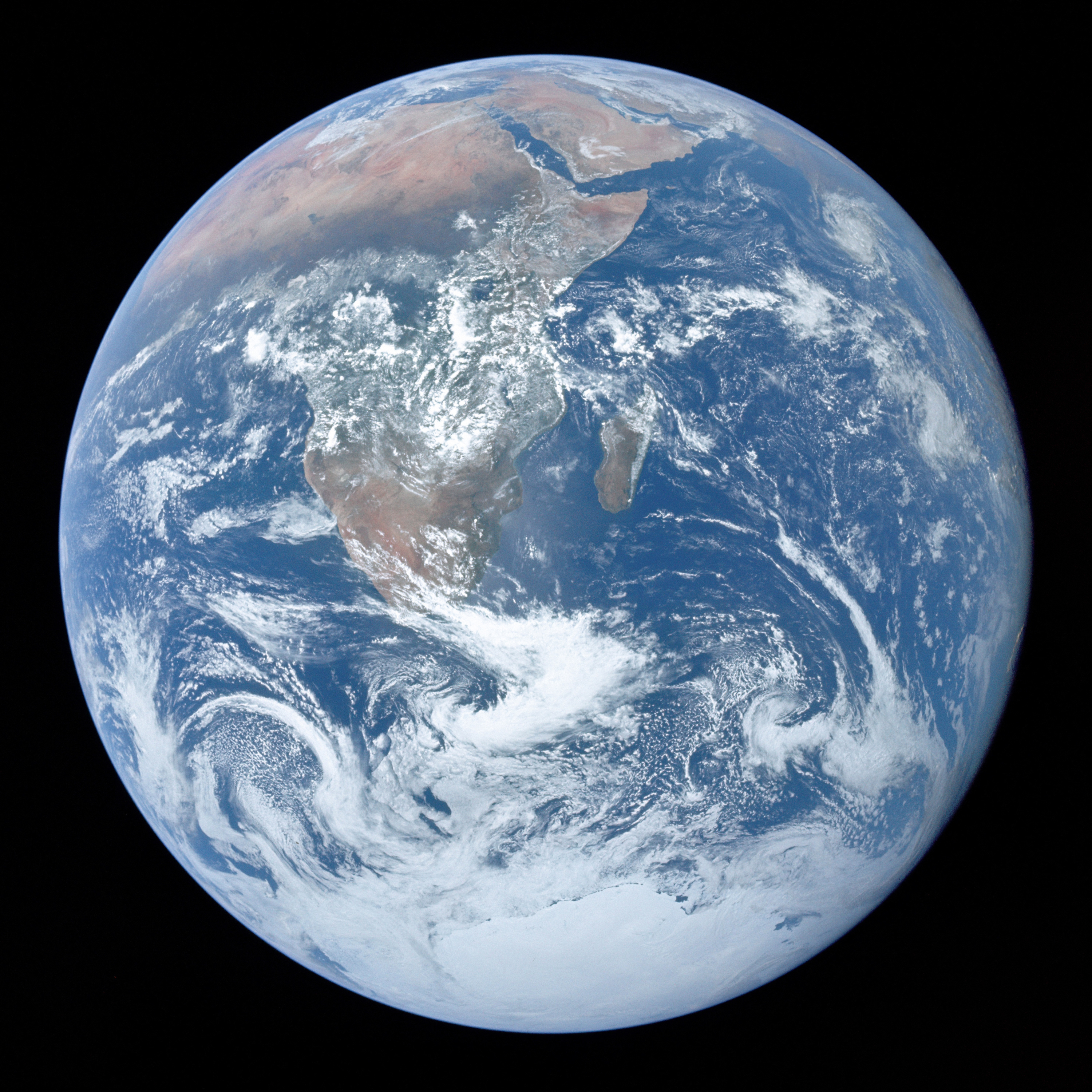
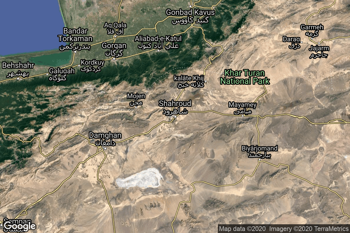
{ "response_mode": "detailed", "id": 145, "url": "https://lldev.thespacedevs.com/2.3.0/locations/145/?format=api", "name": "Shahrud Missile Test Site, Islamic Republic of Iran", "celestial_body": { "response_mode": "normal", "id": 1, "name": "Earth", "type": { "id": 1, "name": "Planet" }, "diameter": 12742000.0, "mass": 5.972168e+24, "gravity": 9.80655, "length_of_day": "1 00:00:00", "atmosphere": true, "image": { "id": 2040, "name": "Earth (Apollo 17)", "image_url": "https://thespacedevs-dev.nyc3.digitaloceanspaces.com/media/images/earth_2528apol_image_20240402194304.jpeg", "thumbnail_url": "https://thespacedevs-dev.nyc3.digitaloceanspaces.com/media/images/earth_2528apol_image_thumbnail_20240402194305.jpeg", "credit": "NASA", "license": { "id": 4, "name": "NASA Image and Media Guidelines", "priority": 0, "link": "https://www.nasa.gov/nasa-brand-center/images-and-media/" }, "single_use": true, "variants": [] }, "description": "Earth is the third planet from the Sun and the only astronomical object known to harbor life.", "wiki_url": "https://en.wikipedia.org/wiki/Earth", "total_attempted_launches": 7651, "successful_launches": 7094, "failed_launches": 557, "total_attempted_landings": 1384, "successful_landings": 1335, "failed_landings": 49 }, "active": true, "country": { "id": 32, "name": "Iran", "alpha_2_code": "IR", "alpha_3_code": "IRN", "nationality_name": "Iranian", "nationality_name_composed": "Irano" }, "description": "Shahroud Space Center is a Military Spaceport under control of the Islamic Revolutionary Guard Corps Aerospace Force (IRGCASF) located south-east of Shahroud Semnan Province, used to orbit military satellites for Iran's military space program.", "image": { "id": 2215, "name": "Qased on the pad (Noor)", "image_url": "https://thespacedevs-dev.nyc3.digitaloceanspaces.com/media/images/qased_on_the_pa_image_20240919164946.jpg", "thumbnail_url": "https://thespacedevs-dev.nyc3.digitaloceanspaces.com/media/images/qased_on_the_pa_image_thumbnail_20240919164947.jpeg", "credit": "FARS", "license": { "id": 30, "name": "CC BY 4.0", "priority": 4, "link": "https://creativecommons.org/licenses/by/4.0/" }, "single_use": true, "variants": [] }, "map_image": "https://thespacedevs-dev.nyc3.digitaloceanspaces.com/media/map_images/location_145_20200803142443.jpg", "longitude": 55.3339, "latitude": 36.2009, "timezone_name": "Asia/Tehran", "total_launch_count": 6, "total_landing_count": 0, "pads": [ { "id": 115, "url": "https://lldev.thespacedevs.com/2.3.0/pads/115/?format=api", "active": true, "agencies": [], "name": "Launch Platform", "image": null, "description": null, "info_url": null, "wiki_url": null, "map_url": "https://www.google.com/maps?q=36.200595,55.333939", "latitude": 36.200595, "longitude": 55.333939, "country": { "id": 32, "name": "Iran", "alpha_2_code": "IR", "alpha_3_code": "IRN", "nationality_name": "Iranian", "nationality_name_composed": "Irano" }, "map_image": "https://thespacedevs-dev.nyc3.digitaloceanspaces.com/media/map_images/pad_115_20200803143303.jpg", "total_launch_count": 6, "orbital_launch_attempt_count": 6, "fastest_turnaround": "P115DT28M34S" } ] }