Location List
Modes
Levels of detail in the response - normal, detailed
Example - /locations/?mode=detailed
Filters
Parameters - active, country_code, id, name, name__contains, total_landing_count, total_landing_count__gt, total_landing_count__gte, total_landing_count__lt, total_landing_count__lte, total_launch_count, total_launch_count__gt, total_launch_count__gte, total_launch_count__lt, total_launch_count__lte
Example - /locations/?country_code=NZL
Search
Fields searched - country__alpha_3_code, name
Example - /locations/?search=Cape Canaveral
Ordering
Fields - name, total_landing_count, total_launch_count
Example - /locations/?ordering=-total_launch_count
Number of results
Use limit to control the number of objects in the response (max 100)
Example - /locations/?limit=2
Format
Switch to JSON output - /locations/?format=json
Help
Find all the FAQs and support links on the documentation homepage - lldev.thespacedevs.com/docs
GET /2.3.0/locations/?format=api&offset=40&ordering=-total_launch_count
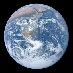
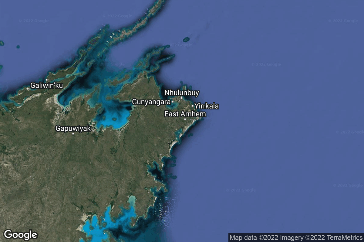
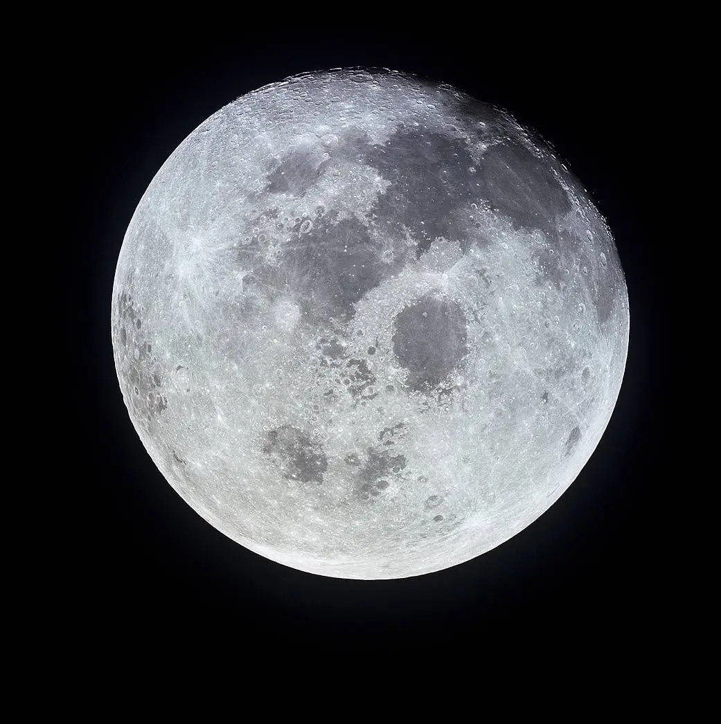
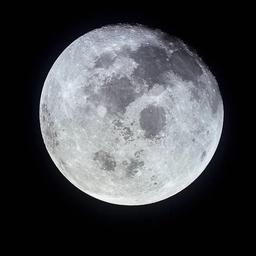
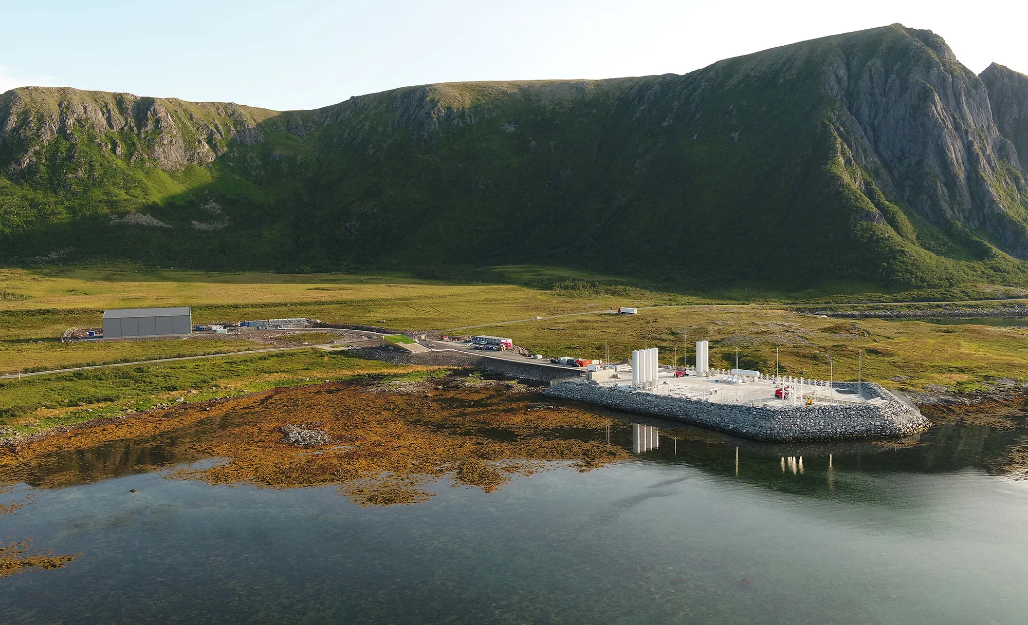
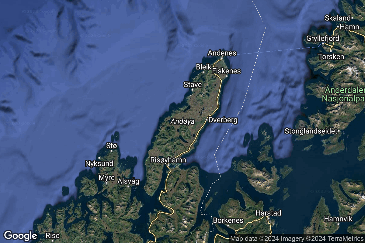
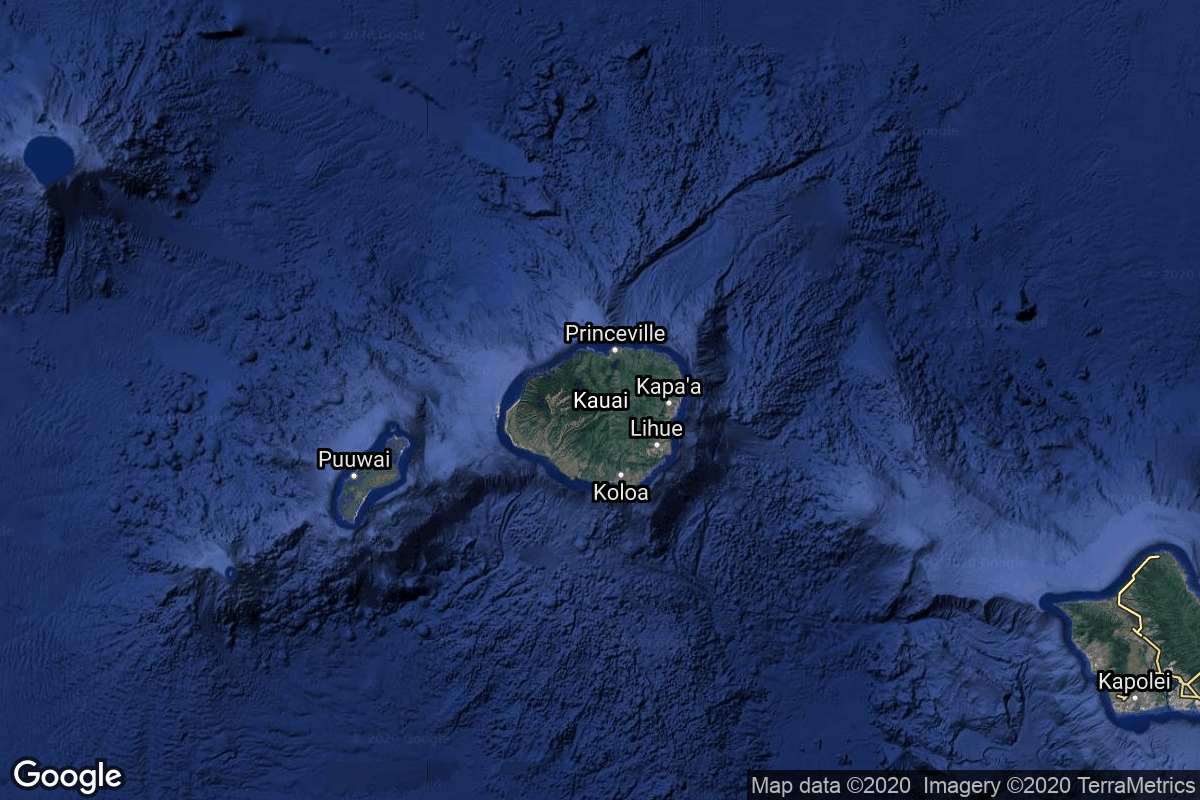
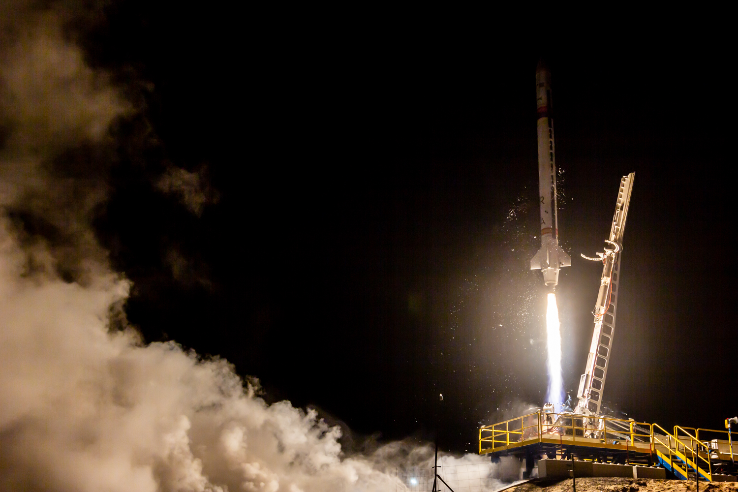
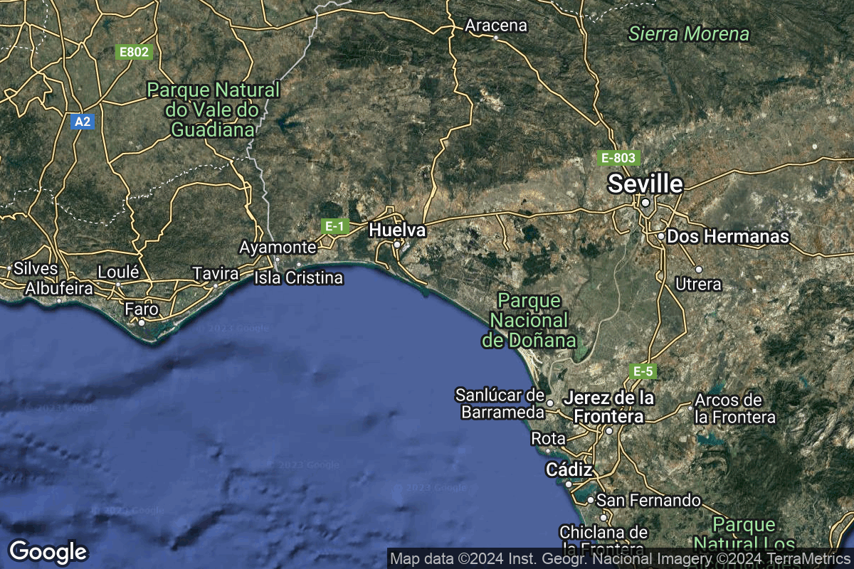
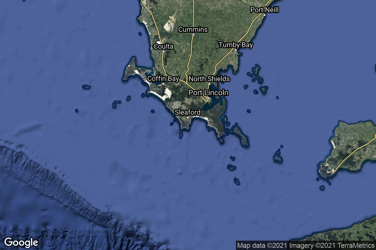
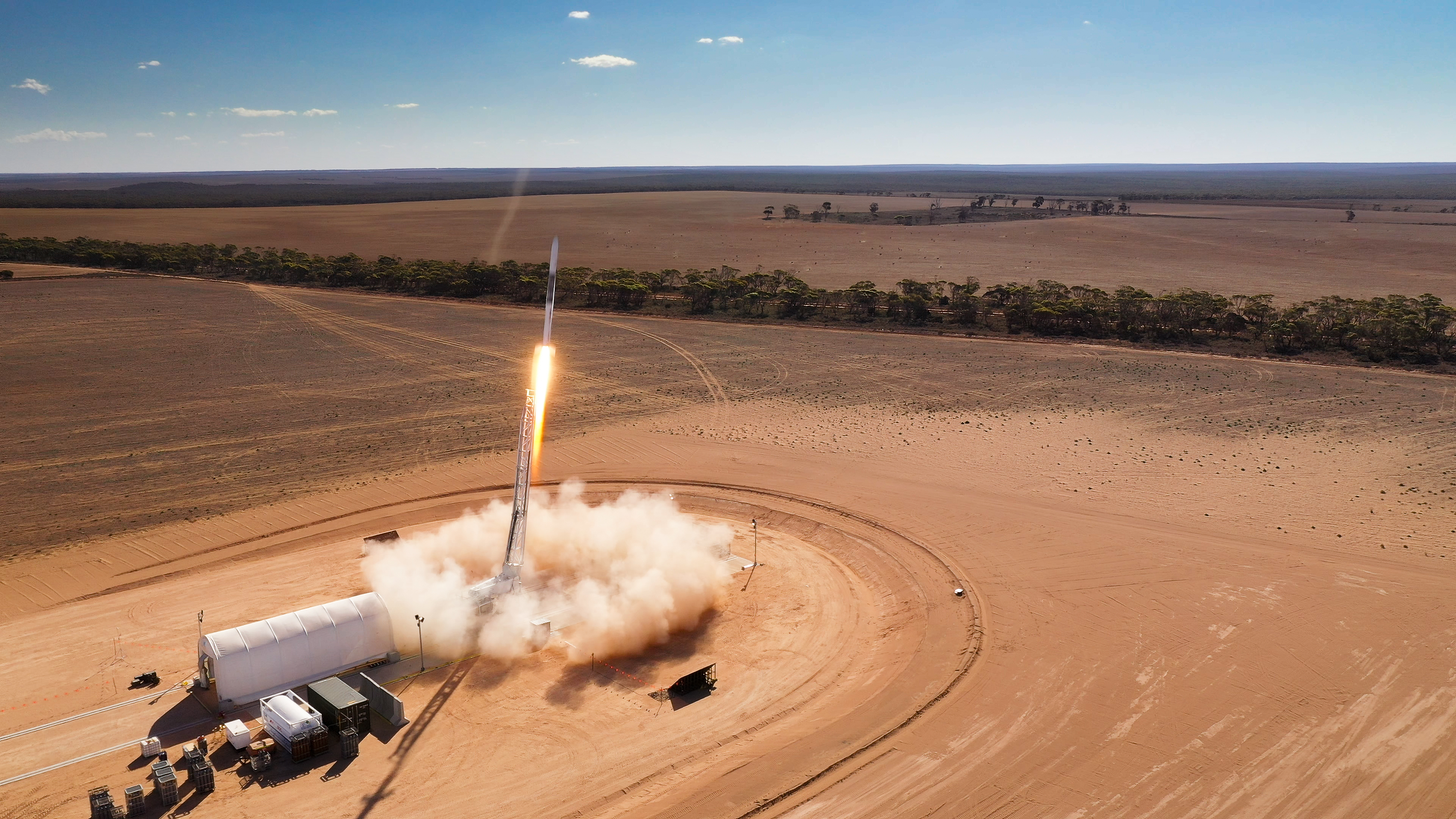
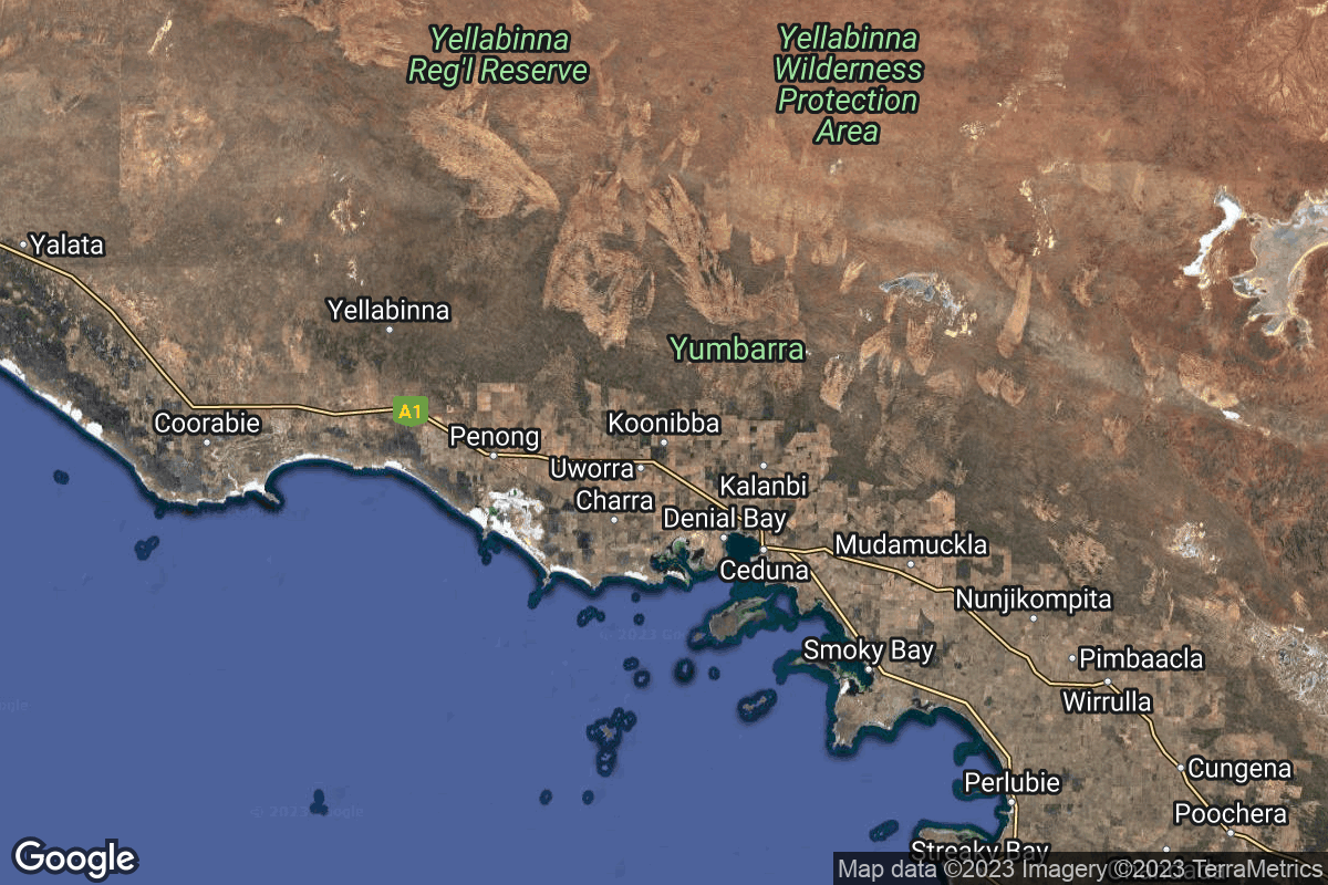
{ "count": 67, "next": "https://lldev.thespacedevs.com/2.3.0/locations/?format=api&limit=10&offset=50&ordering=-total_launch_count", "previous": "https://lldev.thespacedevs.com/2.3.0/locations/?format=api&limit=10&offset=30&ordering=-total_launch_count", "results": [ { "response_mode": "normal", "id": 160, "url": "https://lldev.thespacedevs.com/2.3.0/locations/160/?format=api", "name": "Arnhem Space Centre", "celestial_body": { "response_mode": "normal", "id": 1, "name": "Earth", "type": { "id": 1, "name": "Planet" }, "diameter": 12742000.0, "mass": 5.972168e+24, "gravity": 9.80655, "length_of_day": "1 00:00:00", "atmosphere": true, "image": { "id": 2040, "name": "Earth (Apollo 17)", "image_url": "https://thespacedevs-dev.nyc3.digitaloceanspaces.com/media/images/earth_2528apol_image_20240402194304.jpeg", "thumbnail_url": "https://thespacedevs-dev.nyc3.digitaloceanspaces.com/media/images/earth_2528apol_image_thumbnail_20240402194305.jpeg", "credit": "NASA", "license": { "id": 4, "name": "NASA Image and Media Guidelines", "priority": 0, "link": "https://www.nasa.gov/nasa-brand-center/images-and-media/" }, "single_use": true, "variants": [] }, "description": "Earth is the third planet from the Sun and the only astronomical object known to harbor life.", "wiki_url": "https://en.wikipedia.org/wiki/Earth", "total_attempted_launches": 7462, "successful_launches": 6908, "failed_launches": 554, "total_attempted_landings": 1285, "successful_landings": 1238, "failed_landings": 47 }, "active": false, "country": { "id": 34, "name": "Australia", "alpha_2_code": "AU", "alpha_3_code": "AUS", "nationality_name": "Australian", "nationality_name_composed": "Australo" }, "description": "The Arnhem Space Centre was Australia's first commercial spaceport, located near Nhulunbuy, in Arnhem Land, Australia. It was owned and operated by Equatorial Launch Australia (ELA), and was the site of NASA's first non-orbital sounding rocket launch from a commercial port outside the United States on 27 June 2022.", "image": { "id": 2197, "name": "Arnhem Space Centre", "image_url": "https://thespacedevs-dev.nyc3.digitaloceanspaces.com/media/images/arnhem_space_ce_image_20240918150330.jpg", "thumbnail_url": "https://thespacedevs-dev.nyc3.digitaloceanspaces.com/media/images/arnhem_space_ce_image_thumbnail_20240918150331.jpeg", "credit": "Equatorial Launch Australia", "license": { "id": 29, "name": "ELA Image Use Policy", "priority": 8, "link": "https://ela.space/website-disclaimer" }, "single_use": false, "variants": [] }, "map_image": "https://thespacedevs-dev.nyc3.digitaloceanspaces.com/media/map_images/location_arnhem_space_centre_20220622160552.jpg", "longitude": 136.813889, "latitude": -12.381389, "timezone_name": "Australia/Darwin", "total_launch_count": 3, "total_landing_count": 0 }, { "response_mode": "normal", "id": 153, "url": "https://lldev.thespacedevs.com/2.3.0/locations/153/?format=api", "name": "Tonghae Satellite Launching Ground", "celestial_body": { "response_mode": "normal", "id": 1, "name": "Earth", "type": { "id": 1, "name": "Planet" }, "diameter": 12742000.0, "mass": 5.972168e+24, "gravity": 9.80655, "length_of_day": "1 00:00:00", "atmosphere": true, "image": { "id": 2040, "name": "Earth (Apollo 17)", "image_url": "https://thespacedevs-dev.nyc3.digitaloceanspaces.com/media/images/earth_2528apol_image_20240402194304.jpeg", "thumbnail_url": "https://thespacedevs-dev.nyc3.digitaloceanspaces.com/media/images/earth_2528apol_image_thumbnail_20240402194305.jpeg", "credit": "NASA", "license": { "id": 4, "name": "NASA Image and Media Guidelines", "priority": 0, "link": "https://www.nasa.gov/nasa-brand-center/images-and-media/" }, "single_use": true, "variants": [] }, "description": "Earth is the third planet from the Sun and the only astronomical object known to harbor life.", "wiki_url": "https://en.wikipedia.org/wiki/Earth", "total_attempted_launches": 7462, "successful_launches": 6908, "failed_launches": 554, "total_attempted_landings": 1285, "successful_landings": 1238, "failed_landings": 47 }, "active": false, "country": { "id": 53, "name": "North Korea", "alpha_2_code": "KP", "alpha_3_code": "PRK", "nationality_name": "North Korean", "nationality_name_composed": "North Korean" }, "description": "The Tonghae Satellite Launching Ground is a rocket launching site in North Korea.", "image": { "id": 2224, "name": "Tonghae Satellite Launching Ground from space", "image_url": "https://thespacedevs-dev.nyc3.digitaloceanspaces.com/media/images/tonghae_satelli_image_20240920082229.png", "thumbnail_url": "https://thespacedevs-dev.nyc3.digitaloceanspaces.com/media/images/tonghae_satelli_image_thumbnail_20240920082229.png", "credit": "Airbus", "license": { "id": 1, "name": "Unknown", "priority": 9, "link": null }, "single_use": true, "variants": [] }, "map_image": "https://thespacedevs-dev.nyc3.digitaloceanspaces.com/media/map_images/location_153_20200803142503.jpg", "longitude": 129.686389, "latitude": 40.858333, "timezone_name": "Asia/Pyongyang", "total_launch_count": 2, "total_landing_count": 0 }, { "response_mode": "normal", "id": 173, "url": "https://lldev.thespacedevs.com/2.3.0/locations/173/?format=api", "name": "Mare Fecunditatis, Moon", "celestial_body": { "response_mode": "normal", "id": 2, "name": "Moon", "type": { "id": 2, "name": "Moon" }, "diameter": 3474800.0, "mass": 7.342e+22, "gravity": 1.622, "length_of_day": "27 07:43:12", "atmosphere": false, "image": { "id": 2041, "name": "Moon (Apollo 11)", "image_url": "https://thespacedevs-dev.nyc3.digitaloceanspaces.com/media/images/moon_2528apoll_image_20240402195408.jpg", "thumbnail_url": "https://thespacedevs-dev.nyc3.digitaloceanspaces.com/media/images/moon_2528apoll_image_thumbnail_20240402195408.jpeg", "credit": "NASA", "license": { "id": 4, "name": "NASA Image and Media Guidelines", "priority": 0, "link": "https://www.nasa.gov/nasa-brand-center/images-and-media/" }, "single_use": false, "variants": [] }, "description": "The Moon is Earth's only natural satellite.", "wiki_url": "https://en.wikipedia.org/wiki/Moon", "total_attempted_launches": 11, "successful_launches": 11, "failed_launches": 0, "total_attempted_landings": 17, "successful_landings": 14, "failed_landings": 3 }, "active": false, "country": null, "description": "Mare Fecunditatis is a lunar mare in the eastern half of the visible Moon. The mare has a maximum diameter of 840 km.", "image": { "id": 2164, "name": "Mare Fecunditatis", "image_url": "https://thespacedevs-dev.nyc3.digitaloceanspaces.com/media/images/mare_fecunditat_image_20240813075141.jpg", "thumbnail_url": "https://thespacedevs-dev.nyc3.digitaloceanspaces.com/media/images/mare_fecunditat_image_thumbnail_20240813075141.jpeg", "credit": "NASA", "license": { "id": 4, "name": "NASA Image and Media Guidelines", "priority": 0, "link": "https://www.nasa.gov/nasa-brand-center/images-and-media/" }, "single_use": true, "variants": [] }, "map_image": "https://thespacedevs-dev.nyc3.digitaloceanspaces.com/media/map_images/location_luna_16_landing_site252c_mare_fecunditatis252c_moon_20240813034222.jpg", "longitude": 51.3, "latitude": -7.8, "timezone_name": "", "total_launch_count": 1, "total_landing_count": 0 }, { "response_mode": "normal", "id": 161, "url": "https://lldev.thespacedevs.com/2.3.0/locations/161/?format=api", "name": "Andøya Spaceport", "celestial_body": { "response_mode": "normal", "id": 1, "name": "Earth", "type": { "id": 1, "name": "Planet" }, "diameter": 12742000.0, "mass": 5.972168e+24, "gravity": 9.80655, "length_of_day": "1 00:00:00", "atmosphere": true, "image": { "id": 2040, "name": "Earth (Apollo 17)", "image_url": "https://thespacedevs-dev.nyc3.digitaloceanspaces.com/media/images/earth_2528apol_image_20240402194304.jpeg", "thumbnail_url": "https://thespacedevs-dev.nyc3.digitaloceanspaces.com/media/images/earth_2528apol_image_thumbnail_20240402194305.jpeg", "credit": "NASA", "license": { "id": 4, "name": "NASA Image and Media Guidelines", "priority": 0, "link": "https://www.nasa.gov/nasa-brand-center/images-and-media/" }, "single_use": true, "variants": [] }, "description": "Earth is the third planet from the Sun and the only astronomical object known to harbor life.", "wiki_url": "https://en.wikipedia.org/wiki/Earth", "total_attempted_launches": 7462, "successful_launches": 6908, "failed_launches": 554, "total_attempted_landings": 1285, "successful_landings": 1238, "failed_landings": 47 }, "active": true, "country": { "id": 49, "name": "Norway", "alpha_2_code": "NO", "alpha_3_code": "NOR", "nationality_name": "Norwegian", "nationality_name_composed": "Norwegian" }, "description": "Andøya Space, also named Andøya Space Center and formerly Andøya Rocket Range, is a rocket launch site, rocket range, and spaceport on Andøya island (the northernmost in the Vesterålen archipelago) in Andøy Municipality in Nordland county, Norway.", "image": { "id": 2137, "name": "Andøya Spaceport", "image_url": "https://thespacedevs-dev.nyc3.digitaloceanspaces.com/media/images/and25c325b8ya_image_20240808093551.jpg", "thumbnail_url": "https://thespacedevs-dev.nyc3.digitaloceanspaces.com/media/images/and25c325b8ya_image_thumbnail_20240808093552.jpeg", "credit": "Andøya Space", "license": { "id": 1, "name": "Unknown", "priority": 9, "link": null }, "single_use": true, "variants": [] }, "map_image": "https://thespacedevs-dev.nyc3.digitaloceanspaces.com/media/map_images/location_161_20240109072235.jpg", "longitude": 16.020833, "latitude": 69.294167, "timezone_name": "Europe/Oslo", "total_launch_count": 1, "total_landing_count": 0 }, { "response_mode": "normal", "id": 1, "url": "https://lldev.thespacedevs.com/2.3.0/locations/1/?format=api", "name": "Pacific Missile Range Facility, Barking Sands, HI, USA", "celestial_body": { "response_mode": "normal", "id": 1, "name": "Earth", "type": { "id": 1, "name": "Planet" }, "diameter": 12742000.0, "mass": 5.972168e+24, "gravity": 9.80655, "length_of_day": "1 00:00:00", "atmosphere": true, "image": { "id": 2040, "name": "Earth (Apollo 17)", "image_url": "https://thespacedevs-dev.nyc3.digitaloceanspaces.com/media/images/earth_2528apol_image_20240402194304.jpeg", "thumbnail_url": "https://thespacedevs-dev.nyc3.digitaloceanspaces.com/media/images/earth_2528apol_image_thumbnail_20240402194305.jpeg", "credit": "NASA", "license": { "id": 4, "name": "NASA Image and Media Guidelines", "priority": 0, "link": "https://www.nasa.gov/nasa-brand-center/images-and-media/" }, "single_use": true, "variants": [] }, "description": "Earth is the third planet from the Sun and the only astronomical object known to harbor life.", "wiki_url": "https://en.wikipedia.org/wiki/Earth", "total_attempted_launches": 7462, "successful_launches": 6908, "failed_launches": 554, "total_attempted_landings": 1285, "successful_landings": 1238, "failed_landings": 47 }, "active": true, "country": { "id": 2, "name": "United States of America", "alpha_2_code": "US", "alpha_3_code": "USA", "nationality_name": "American", "nationality_name_composed": "Americano" }, "description": "The Pacific Missile Range Facility, Barking Sands is a U.S. naval facility and airport located five nautical miles (9 km) northwest of the central business district of Kekaha, in Kauai County, Hawaii, United States.", "image": { "id": 2205, "name": "Pacific Missile Range Facility aerial picture", "image_url": "https://thespacedevs-dev.nyc3.digitaloceanspaces.com/media/images/pacific_missile_image_20240918160849.jpg", "thumbnail_url": "https://thespacedevs-dev.nyc3.digitaloceanspaces.com/media/images/pacific_missile_image_thumbnail_20240918160849.jpeg", "credit": "Polihale", "license": { "id": 21, "name": "CC BY-SA 3.0", "priority": 4, "link": "https://creativecommons.org/licenses/by-sa/3.0/deed.en" }, "single_use": true, "variants": [] }, "map_image": "https://thespacedevs-dev.nyc3.digitaloceanspaces.com/media/map_images/location_1_20200803142427.jpg", "longitude": -159.785, "latitude": 22.022778, "timezone_name": "Pacific/Honolulu", "total_launch_count": 1, "total_landing_count": 0 }, { "response_mode": "normal", "id": 163, "url": "https://lldev.thespacedevs.com/2.3.0/locations/163/?format=api", "name": "El Arenosillo Test Centre", "celestial_body": { "response_mode": "normal", "id": 1, "name": "Earth", "type": { "id": 1, "name": "Planet" }, "diameter": 12742000.0, "mass": 5.972168e+24, "gravity": 9.80655, "length_of_day": "1 00:00:00", "atmosphere": true, "image": { "id": 2040, "name": "Earth (Apollo 17)", "image_url": "https://thespacedevs-dev.nyc3.digitaloceanspaces.com/media/images/earth_2528apol_image_20240402194304.jpeg", "thumbnail_url": "https://thespacedevs-dev.nyc3.digitaloceanspaces.com/media/images/earth_2528apol_image_thumbnail_20240402194305.jpeg", "credit": "NASA", "license": { "id": 4, "name": "NASA Image and Media Guidelines", "priority": 0, "link": "https://www.nasa.gov/nasa-brand-center/images-and-media/" }, "single_use": true, "variants": [] }, "description": "Earth is the third planet from the Sun and the only astronomical object known to harbor life.", "wiki_url": "https://en.wikipedia.org/wiki/Earth", "total_attempted_launches": 7462, "successful_launches": 6908, "failed_launches": 554, "total_attempted_landings": 1285, "successful_landings": 1238, "failed_landings": 47 }, "active": true, "country": { "id": 7, "name": "Spain", "alpha_2_code": "ES", "alpha_3_code": "ESP", "nationality_name": "Spanish", "nationality_name_composed": "Hispano" }, "description": "El Arenosillo Test Centre is the name of a rocket launch site managed by INTA, located in Moguer, Spain. It is located in the province of Huelva, Andalucía, on the southwest coast of Spain.", "image": { "id": 1512, "name": "Miura 1 liftoff (SN1 Test Flight)", "image_url": "https://thespacedevs-dev.nyc3.digitaloceanspaces.com/media/images/miura25201252_image_20231008042338.jpeg", "thumbnail_url": "https://thespacedevs-dev.nyc3.digitaloceanspaces.com/media/images/255bauto255d__image_thumbnail_20240305193011.jpeg", "credit": "PLD Space", "license": { "id": 2, "name": "ESA Standard Licence", "priority": 2, "link": "https://www.esa.int/ESA_Multimedia/Terms_and_conditions_of_use_of_images_and_videos_available_on_the_esa_website" }, "single_use": false, "variants": [] }, "map_image": "https://thespacedevs-dev.nyc3.digitaloceanspaces.com/media/map_images/location_163_20240111100612.jpg", "longitude": -6.738611, "latitude": 37.096944, "timezone_name": "Europe/Madrid", "total_launch_count": 1, "total_landing_count": 0 }, { "response_mode": "normal", "id": 156, "url": "https://lldev.thespacedevs.com/2.3.0/locations/156/?format=api", "name": "Whalers Way Orbital Launch Complex, South Australia", "celestial_body": { "response_mode": "normal", "id": 1, "name": "Earth", "type": { "id": 1, "name": "Planet" }, "diameter": 12742000.0, "mass": 5.972168e+24, "gravity": 9.80655, "length_of_day": "1 00:00:00", "atmosphere": true, "image": { "id": 2040, "name": "Earth (Apollo 17)", "image_url": "https://thespacedevs-dev.nyc3.digitaloceanspaces.com/media/images/earth_2528apol_image_20240402194304.jpeg", "thumbnail_url": "https://thespacedevs-dev.nyc3.digitaloceanspaces.com/media/images/earth_2528apol_image_thumbnail_20240402194305.jpeg", "credit": "NASA", "license": { "id": 4, "name": "NASA Image and Media Guidelines", "priority": 0, "link": "https://www.nasa.gov/nasa-brand-center/images-and-media/" }, "single_use": true, "variants": [] }, "description": "Earth is the third planet from the Sun and the only astronomical object known to harbor life.", "wiki_url": "https://en.wikipedia.org/wiki/Earth", "total_attempted_launches": 7462, "successful_launches": 6908, "failed_launches": 554, "total_attempted_landings": 1285, "successful_landings": 1238, "failed_landings": 47 }, "active": true, "country": { "id": 34, "name": "Australia", "alpha_2_code": "AU", "alpha_3_code": "AUS", "nationality_name": "Australian", "nationality_name_composed": "Australo" }, "description": "Whalers Way Orbital Launch Complex is a rocket-launching facility operated by Southern Launch at Whalers Way, in the locality of Sleaford near Port Lincoln on South Australia's Eyre Peninsula.", "image": { "id": 2228, "name": "Whalers Way Orbital Launch Complex", "image_url": "https://thespacedevs-dev.nyc3.digitaloceanspaces.com/media/images/whalers_way_orb_image_20240920084054.jpg", "thumbnail_url": "https://thespacedevs-dev.nyc3.digitaloceanspaces.com/media/images/whalers_way_orb_image_thumbnail_20240920084054.jpeg", "credit": "Southern Launch", "license": { "id": 1, "name": "Unknown", "priority": 9, "link": null }, "single_use": true, "variants": [] }, "map_image": "https://thespacedevs-dev.nyc3.digitaloceanspaces.com/media/map_images/location_whalers_way_orbital_launch_complex_20210910042508.jpg", "longitude": 135.65, "latitude": -34.91, "timezone_name": "Australia/Adelaide", "total_launch_count": 1, "total_landing_count": 0 }, { "response_mode": "normal", "id": 164, "url": "https://lldev.thespacedevs.com/2.3.0/locations/164/?format=api", "name": "Koonibba Test Range, South Australia", "celestial_body": { "response_mode": "normal", "id": 1, "name": "Earth", "type": { "id": 1, "name": "Planet" }, "diameter": 12742000.0, "mass": 5.972168e+24, "gravity": 9.80655, "length_of_day": "1 00:00:00", "atmosphere": true, "image": { "id": 2040, "name": "Earth (Apollo 17)", "image_url": "https://thespacedevs-dev.nyc3.digitaloceanspaces.com/media/images/earth_2528apol_image_20240402194304.jpeg", "thumbnail_url": "https://thespacedevs-dev.nyc3.digitaloceanspaces.com/media/images/earth_2528apol_image_thumbnail_20240402194305.jpeg", "credit": "NASA", "license": { "id": 4, "name": "NASA Image and Media Guidelines", "priority": 0, "link": "https://www.nasa.gov/nasa-brand-center/images-and-media/" }, "single_use": true, "variants": [] }, "description": "Earth is the third planet from the Sun and the only astronomical object known to harbor life.", "wiki_url": "https://en.wikipedia.org/wiki/Earth", "total_attempted_launches": 7462, "successful_launches": 6908, "failed_launches": 554, "total_attempted_landings": 1285, "successful_landings": 1238, "failed_landings": 47 }, "active": true, "country": { "id": 34, "name": "Australia", "alpha_2_code": "AU", "alpha_3_code": "AUS", "nationality_name": "Australian", "nationality_name_composed": "Australo" }, "description": "The Koonibba Test Range is a rocket test range site near the township of Koonibba in the far west of South Australia. Rockets are launched to the north over a clear area – the Yumbarra Conservation Park and Yellabinna Wilderness Protection Area – for 145 kilometres (90 mi).", "image": { "id": 2087, "name": "SR75 liftoff (Maiden Flight)", "image_url": "https://thespacedevs-dev.nyc3.digitaloceanspaces.com/media/images/sr-75_liftoff__image_20240503065630.jpeg", "thumbnail_url": "https://thespacedevs-dev.nyc3.digitaloceanspaces.com/media/images/sr-75_liftoff__image_thumbnail_20240503065630.jpeg", "credit": "Southern Launch", "license": { "id": 1, "name": "Unknown", "priority": 9, "link": null }, "single_use": false, "variants": [] }, "map_image": "https://thespacedevs-dev.nyc3.digitaloceanspaces.com/media/map_images/location_koonibba_test_range252c_south_australia_20231114184328.jpg", "longitude": 133.448686, "latitude": -31.885558, "timezone_name": "Australia/Adelaide", "total_launch_count": 1, "total_landing_count": 0 }, { "response_mode": "normal", "id": 174, "url": "https://lldev.thespacedevs.com/2.3.0/locations/174/?format=api", "name": "Terra Apollonius, Moon", "celestial_body": { "response_mode": "normal", "id": 2, "name": "Moon", "type": { "id": 2, "name": "Moon" }, "diameter": 3474800.0, "mass": 7.342e+22, "gravity": 1.622, "length_of_day": "27 07:43:12", "atmosphere": false, "image": { "id": 2041, "name": "Moon (Apollo 11)", "image_url": "https://thespacedevs-dev.nyc3.digitaloceanspaces.com/media/images/moon_2528apoll_image_20240402195408.jpg", "thumbnail_url": "https://thespacedevs-dev.nyc3.digitaloceanspaces.com/media/images/moon_2528apoll_image_thumbnail_20240402195408.jpeg", "credit": "NASA", "license": { "id": 4, "name": "NASA Image and Media Guidelines", "priority": 0, "link": "https://www.nasa.gov/nasa-brand-center/images-and-media/" }, "single_use": false, "variants": [] }, "description": "The Moon is Earth's only natural satellite.", "wiki_url": "https://en.wikipedia.org/wiki/Moon", "total_attempted_launches": 11, "successful_launches": 11, "failed_launches": 0, "total_attempted_landings": 17, "successful_landings": 14, "failed_landings": 3 }, "active": false, "country": null, "description": "Mountainous area near Mare Fecunditatis (Sea of Fertility).", "image": { "id": 2166, "name": "Luna 20 landing site at Terra Apollonius seen from LRO", "image_url": "https://thespacedevs-dev.nyc3.digitaloceanspaces.com/media/images/luna_20_landing_image_20240813080158.png", "thumbnail_url": "https://thespacedevs-dev.nyc3.digitaloceanspaces.com/media/images/luna_20_landing_image_thumbnail_20240813080159.png", "credit": "NASA", "license": { "id": 4, "name": "NASA Image and Media Guidelines", "priority": 0, "link": "https://www.nasa.gov/nasa-brand-center/images-and-media/" }, "single_use": false, "variants": [] }, "map_image": "https://thespacedevs-dev.nyc3.digitaloceanspaces.com/media/map_images/location_luna_20_landing_site252c_terra_apollonius252c_moon_20240813034436.jpg", "longitude": 56.6242, "latitude": 3.7863, "timezone_name": "", "total_launch_count": 1, "total_landing_count": 0 }, { "response_mode": "normal", "id": 181, "url": "https://lldev.thespacedevs.com/2.3.0/locations/181/?format=api", "name": "Bowen Orbital Spaceport", "celestial_body": { "response_mode": "normal", "id": 1, "name": "Earth", "type": { "id": 1, "name": "Planet" }, "diameter": 12742000.0, "mass": 5.972168e+24, "gravity": 9.80655, "length_of_day": "1 00:00:00", "atmosphere": true, "image": { "id": 2040, "name": "Earth (Apollo 17)", "image_url": "https://thespacedevs-dev.nyc3.digitaloceanspaces.com/media/images/earth_2528apol_image_20240402194304.jpeg", "thumbnail_url": "https://thespacedevs-dev.nyc3.digitaloceanspaces.com/media/images/earth_2528apol_image_thumbnail_20240402194305.jpeg", "credit": "NASA", "license": { "id": 4, "name": "NASA Image and Media Guidelines", "priority": 0, "link": "https://www.nasa.gov/nasa-brand-center/images-and-media/" }, "single_use": true, "variants": [] }, "description": "Earth is the third planet from the Sun and the only astronomical object known to harbor life.", "wiki_url": "https://en.wikipedia.org/wiki/Earth", "total_attempted_launches": 7462, "successful_launches": 6908, "failed_launches": 554, "total_attempted_landings": 1285, "successful_landings": 1238, "failed_landings": 47 }, "active": true, "country": { "id": 34, "name": "Australia", "alpha_2_code": "AU", "alpha_3_code": "AUS", "nationality_name": "Australian", "nationality_name_composed": "Australo" }, "description": "Private orbital launch facility owned and operated by Gilmour Space.", "image": { "id": 1732, "name": "Eris on the launch pad (Maiden Flight)", "image_url": "https://thespacedevs-dev.nyc3.digitaloceanspaces.com/media/images/eris_on_the_lau_image_20250227073032.jpg", "thumbnail_url": "https://thespacedevs-dev.nyc3.digitaloceanspaces.com/media/images/eris_on_the_lau_image_thumbnail_20250227073032.jpeg", "credit": "Gilmour Space", "license": { "id": 1, "name": "Unknown", "priority": 9, "link": null }, "single_use": false, "variants": [] }, "map_image": "https://thespacedevs-dev.nyc3.digitaloceanspaces.com/media/map_images/location_bowen_orbital_spaceport_20250227073649.jpg", "longitude": 148.1129553, "latitude": -19.958151, "timezone_name": "Australia/Brisbane", "total_launch_count": 1, "total_landing_count": 0 } ] }