Location List
Modes
Levels of detail in the response - normal, detailed
Example - /locations/?mode=detailed
Filters
Parameters - active, country_code, id, name, name__contains, total_landing_count, total_landing_count__gt, total_landing_count__gte, total_landing_count__lt, total_landing_count__lte, total_launch_count, total_launch_count__gt, total_launch_count__gte, total_launch_count__lt, total_launch_count__lte
Example - /locations/?country_code=NZL
Search
Fields searched - country__alpha_3_code, name
Example - /locations/?search=Cape Canaveral
Ordering
Fields - name, total_landing_count, total_launch_count
Example - /locations/?ordering=-total_launch_count
Number of results
Use limit to control the number of objects in the response (max 100)
Example - /locations/?limit=2
Format
Switch to JSON output - /locations/?format=json
Help
Find all the FAQs and support links on the documentation homepage - lldev.thespacedevs.com/docs
GET /2.3.0/locations/?format=api&offset=40&ordering=-total_landing_count
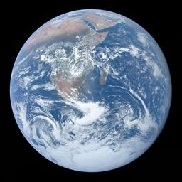
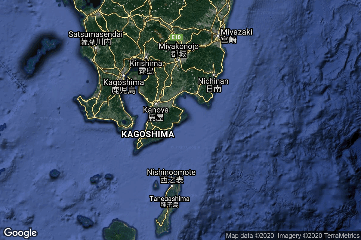
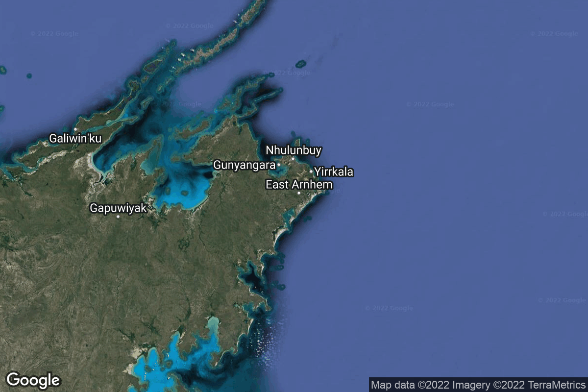
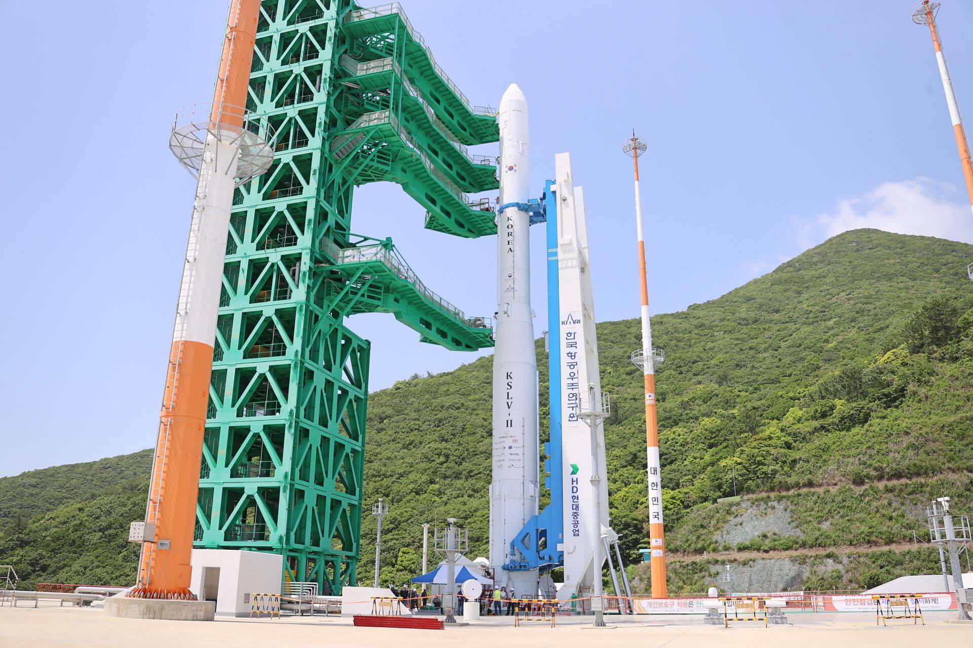
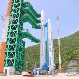
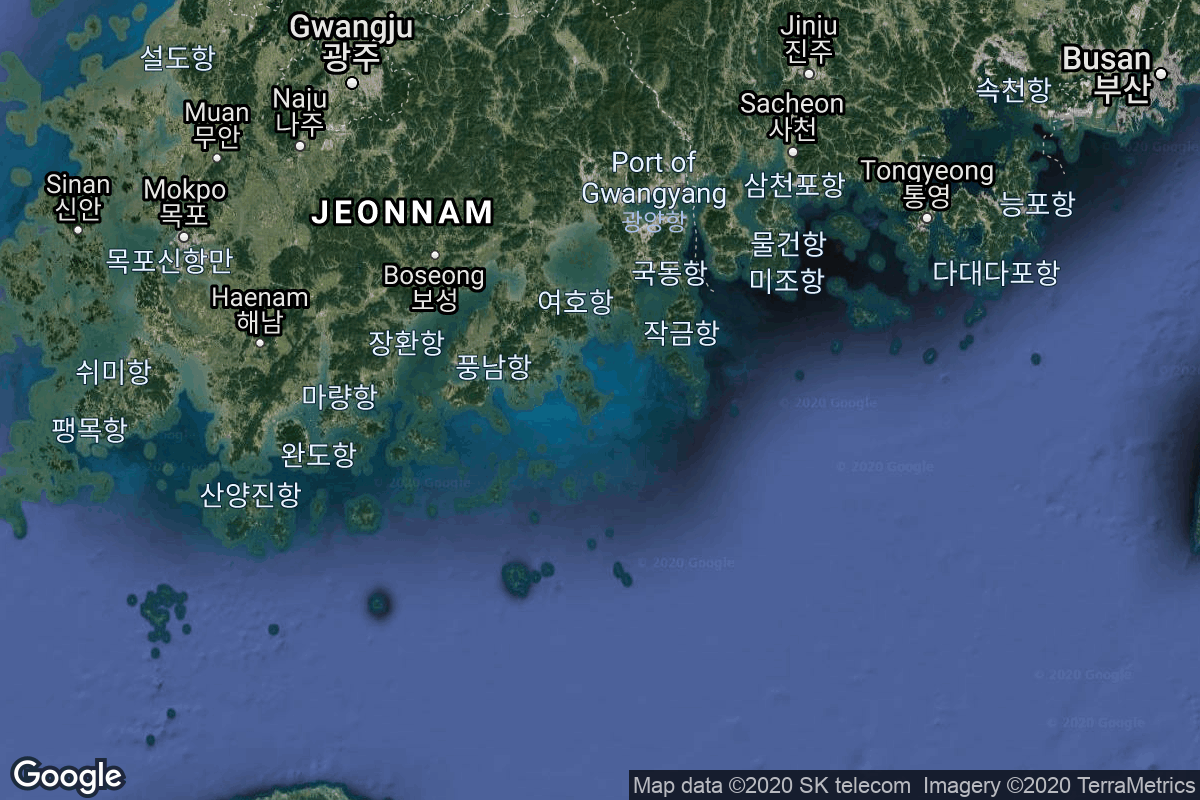
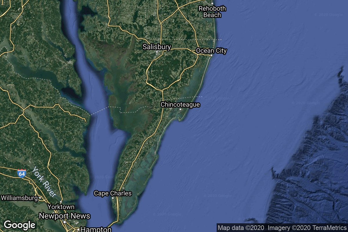
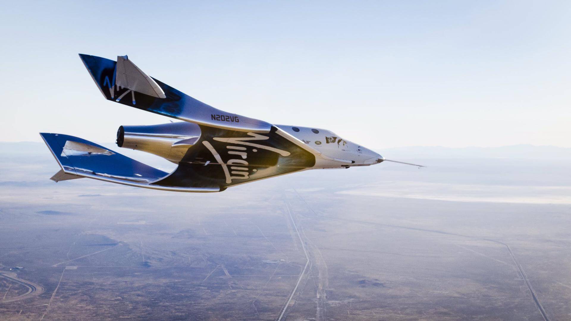
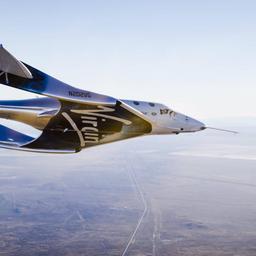
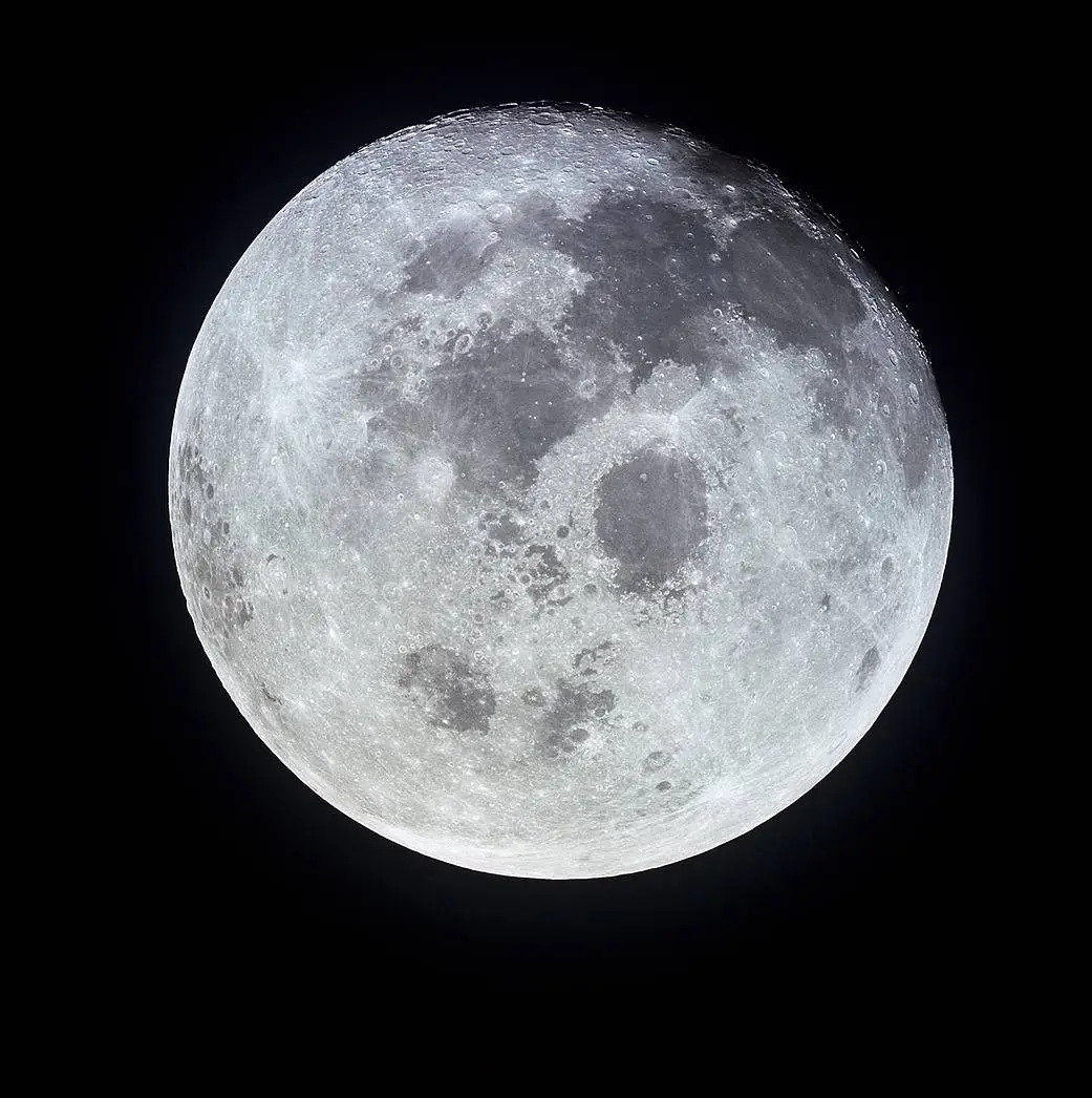
{ "count": 67, "next": "https://lldev.thespacedevs.com/2.3.0/locations/?format=api&limit=10&offset=50&ordering=-total_landing_count", "previous": "https://lldev.thespacedevs.com/2.3.0/locations/?format=api&limit=10&offset=30&ordering=-total_landing_count", "results": [ { "response_mode": "normal", "id": 24, "url": "https://lldev.thespacedevs.com/2.3.0/locations/24/?format=api", "name": "Uchinoura Space Center, Japan", "celestial_body": { "response_mode": "normal", "id": 1, "name": "Earth", "type": { "id": 1, "name": "Planet" }, "diameter": 12742000.0, "mass": 5.972168e+24, "gravity": 9.80655, "length_of_day": "1 00:00:00", "atmosphere": true, "image": { "id": 2040, "name": "Earth (Apollo 17)", "image_url": "https://thespacedevs-dev.nyc3.digitaloceanspaces.com/media/images/earth_2528apol_image_20240402194304.jpeg", "thumbnail_url": "https://thespacedevs-dev.nyc3.digitaloceanspaces.com/media/images/earth_2528apol_image_thumbnail_20240402194305.jpeg", "credit": "NASA", "license": { "id": 4, "name": "NASA Image and Media Guidelines", "priority": 0, "link": "https://www.nasa.gov/nasa-brand-center/images-and-media/" }, "single_use": true, "variants": [] }, "description": "Earth is the third planet from the Sun and the only astronomical object known to harbor life.", "wiki_url": "https://en.wikipedia.org/wiki/Earth", "total_attempted_launches": 7462, "successful_launches": 6908, "failed_launches": 554, "total_attempted_landings": 1285, "successful_landings": 1238, "failed_landings": 47 }, "active": true, "country": { "id": 28, "name": "Japan", "alpha_2_code": "JP", "alpha_3_code": "JPN", "nationality_name": "Japanese", "nationality_name_composed": "Nippo" }, "description": "The Uchinoura Space Center is a space launch facility in the Japanese town of Kimotsuki, Kagoshima Prefecture. All of Japan's scientific satellites were launched from Uchinoura prior to the M-V launch vehicles being decommissioned in 2006. It continues to be used for suborbital launches, stratospheric balloons and has also been used for the Epsilon orbital launch vehicle. Additionally, the center has antennas for communication with interplanetary space probes.", "image": { "id": 2225, "name": "Uchinoura Space Center, Japan", "image_url": "https://thespacedevs-dev.nyc3.digitaloceanspaces.com/media/images/uchinoura_space_image_20240920082429.JPG", "thumbnail_url": "https://thespacedevs-dev.nyc3.digitaloceanspaces.com/media/images/uchinoura_space_image_thumbnail_20240920082429.jpeg", "credit": "Ippukucho", "license": { "id": 19, "name": "CC BY 3.0", "priority": 4, "link": "https://creativecommons.org/licenses/by/3.0/" }, "single_use": true, "variants": [] }, "map_image": "https://thespacedevs-dev.nyc3.digitaloceanspaces.com/media/map_images/location_24_20200803142411.jpg", "longitude": 131.081944, "latitude": 31.251944, "timezone_name": "Asia/Tokyo", "total_launch_count": 43, "total_landing_count": 0 }, { "response_mode": "normal", "id": 160, "url": "https://lldev.thespacedevs.com/2.3.0/locations/160/?format=api", "name": "Arnhem Space Centre", "celestial_body": { "response_mode": "normal", "id": 1, "name": "Earth", "type": { "id": 1, "name": "Planet" }, "diameter": 12742000.0, "mass": 5.972168e+24, "gravity": 9.80655, "length_of_day": "1 00:00:00", "atmosphere": true, "image": { "id": 2040, "name": "Earth (Apollo 17)", "image_url": "https://thespacedevs-dev.nyc3.digitaloceanspaces.com/media/images/earth_2528apol_image_20240402194304.jpeg", "thumbnail_url": "https://thespacedevs-dev.nyc3.digitaloceanspaces.com/media/images/earth_2528apol_image_thumbnail_20240402194305.jpeg", "credit": "NASA", "license": { "id": 4, "name": "NASA Image and Media Guidelines", "priority": 0, "link": "https://www.nasa.gov/nasa-brand-center/images-and-media/" }, "single_use": true, "variants": [] }, "description": "Earth is the third planet from the Sun and the only astronomical object known to harbor life.", "wiki_url": "https://en.wikipedia.org/wiki/Earth", "total_attempted_launches": 7462, "successful_launches": 6908, "failed_launches": 554, "total_attempted_landings": 1285, "successful_landings": 1238, "failed_landings": 47 }, "active": false, "country": { "id": 34, "name": "Australia", "alpha_2_code": "AU", "alpha_3_code": "AUS", "nationality_name": "Australian", "nationality_name_composed": "Australo" }, "description": "The Arnhem Space Centre was Australia's first commercial spaceport, located near Nhulunbuy, in Arnhem Land, Australia. It was owned and operated by Equatorial Launch Australia (ELA), and was the site of NASA's first non-orbital sounding rocket launch from a commercial port outside the United States on 27 June 2022.", "image": { "id": 2197, "name": "Arnhem Space Centre", "image_url": "https://thespacedevs-dev.nyc3.digitaloceanspaces.com/media/images/arnhem_space_ce_image_20240918150330.jpg", "thumbnail_url": "https://thespacedevs-dev.nyc3.digitaloceanspaces.com/media/images/arnhem_space_ce_image_thumbnail_20240918150331.jpeg", "credit": "Equatorial Launch Australia", "license": { "id": 29, "name": "ELA Image Use Policy", "priority": 8, "link": "https://ela.space/website-disclaimer" }, "single_use": false, "variants": [] }, "map_image": "https://thespacedevs-dev.nyc3.digitaloceanspaces.com/media/map_images/location_arnhem_space_centre_20220622160552.jpg", "longitude": 136.813889, "latitude": -12.381389, "timezone_name": "Australia/Darwin", "total_launch_count": 3, "total_landing_count": 0 }, { "response_mode": "normal", "id": 9, "url": "https://lldev.thespacedevs.com/2.3.0/locations/9/?format=api", "name": "Naro Space Center, South Korea", "celestial_body": { "response_mode": "normal", "id": 1, "name": "Earth", "type": { "id": 1, "name": "Planet" }, "diameter": 12742000.0, "mass": 5.972168e+24, "gravity": 9.80655, "length_of_day": "1 00:00:00", "atmosphere": true, "image": { "id": 2040, "name": "Earth (Apollo 17)", "image_url": "https://thespacedevs-dev.nyc3.digitaloceanspaces.com/media/images/earth_2528apol_image_20240402194304.jpeg", "thumbnail_url": "https://thespacedevs-dev.nyc3.digitaloceanspaces.com/media/images/earth_2528apol_image_thumbnail_20240402194305.jpeg", "credit": "NASA", "license": { "id": 4, "name": "NASA Image and Media Guidelines", "priority": 0, "link": "https://www.nasa.gov/nasa-brand-center/images-and-media/" }, "single_use": true, "variants": [] }, "description": "Earth is the third planet from the Sun and the only astronomical object known to harbor life.", "wiki_url": "https://en.wikipedia.org/wiki/Earth", "total_attempted_launches": 7462, "successful_launches": 6908, "failed_launches": 554, "total_attempted_landings": 1285, "successful_landings": 1238, "failed_landings": 47 }, "active": true, "country": { "id": 35, "name": "South Korea", "alpha_2_code": "KR", "alpha_3_code": "KOR", "nationality_name": "South Korean", "nationality_name_composed": "South Korean" }, "description": "The Naro Space Center is a South Korean spaceport in South Jeolla's Goheung County, operated by the state-run Korea Aerospace Research Institute.", "image": { "id": 1797, "name": "Nuri on the launch pad", "image_url": "https://thespacedevs-dev.nyc3.digitaloceanspaces.com/media/images/nuri_on_the_lau_image_20240307163812.jpeg", "thumbnail_url": "https://thespacedevs-dev.nyc3.digitaloceanspaces.com/media/images/nuri_on_the_lau_image_thumbnail_20240307163813.jpeg", "credit": "Korea Aerospace Research Institute", "license": { "id": 15, "name": "Korea Open Government License Type I: Attribution", "priority": 6, "link": "https://www.kogl.or.kr/edu/eduDataFileDown.do?dataIdx=97&dataFileIdx=1" }, "single_use": true, "variants": [] }, "map_image": "https://thespacedevs-dev.nyc3.digitaloceanspaces.com/media/map_images/location_9_20200803142441.jpg", "longitude": 127.535, "latitude": 34.431944, "timezone_name": "Asia/Seoul", "total_launch_count": 8, "total_landing_count": 0 }, { "response_mode": "normal", "id": 21, "url": "https://lldev.thespacedevs.com/2.3.0/locations/21/?format=api", "name": "Wallops Flight Facility, Virginia, USA", "celestial_body": { "response_mode": "normal", "id": 1, "name": "Earth", "type": { "id": 1, "name": "Planet" }, "diameter": 12742000.0, "mass": 5.972168e+24, "gravity": 9.80655, "length_of_day": "1 00:00:00", "atmosphere": true, "image": { "id": 2040, "name": "Earth (Apollo 17)", "image_url": "https://thespacedevs-dev.nyc3.digitaloceanspaces.com/media/images/earth_2528apol_image_20240402194304.jpeg", "thumbnail_url": "https://thespacedevs-dev.nyc3.digitaloceanspaces.com/media/images/earth_2528apol_image_thumbnail_20240402194305.jpeg", "credit": "NASA", "license": { "id": 4, "name": "NASA Image and Media Guidelines", "priority": 0, "link": "https://www.nasa.gov/nasa-brand-center/images-and-media/" }, "single_use": true, "variants": [] }, "description": "Earth is the third planet from the Sun and the only astronomical object known to harbor life.", "wiki_url": "https://en.wikipedia.org/wiki/Earth", "total_attempted_launches": 7462, "successful_launches": 6908, "failed_launches": 554, "total_attempted_landings": 1285, "successful_landings": 1238, "failed_landings": 47 }, "active": true, "country": { "id": 2, "name": "United States of America", "alpha_2_code": "US", "alpha_3_code": "USA", "nationality_name": "American", "nationality_name_composed": "Americano" }, "description": "Wallops Flight Facility is a rocket launch site on Wallops Island on the Eastern Shore of Virginia, United States, just east of the Delmarva Peninsula and north-northeast of Norfolk. The facility is operated by the Goddard Space Flight Center in Greenbelt, Maryland, and primarily serves to support science and exploration missions for NASA and other federal agencies. WFF includes an extensively instrumented range to support launches of more than a dozen types of sounding rockets; small expendable suborbital and orbital rockets; high-altitude balloon flights carrying scientific instruments for atmospheric and astronomical research; and, using its Research Airport, flight tests of aeronautical research aircraft, including uncrewed aerial vehicles.", "image": { "id": 2227, "name": "Wallops Flight Facility", "image_url": "https://thespacedevs-dev.nyc3.digitaloceanspaces.com/media/images/wallops_flight__image_20240920083715.jpg", "thumbnail_url": "https://thespacedevs-dev.nyc3.digitaloceanspaces.com/media/images/wallops_flight__image_thumbnail_20240920083715.jpeg", "credit": "NASA", "license": { "id": 4, "name": "NASA Image and Media Guidelines", "priority": 0, "link": "https://www.nasa.gov/nasa-brand-center/images-and-media/" }, "single_use": true, "variants": [] }, "map_image": "https://thespacedevs-dev.nyc3.digitaloceanspaces.com/media/map_images/location_21_20200803142423.jpg", "longitude": -75.467778, "latitude": 37.933333, "timezone_name": "America/New_York", "total_launch_count": 85, "total_landing_count": 0 }, { "response_mode": "normal", "id": 144, "url": "https://lldev.thespacedevs.com/2.3.0/locations/144/?format=api", "name": "Air launch to Suborbital flight", "celestial_body": { "response_mode": "normal", "id": 1, "name": "Earth", "type": { "id": 1, "name": "Planet" }, "diameter": 12742000.0, "mass": 5.972168e+24, "gravity": 9.80655, "length_of_day": "1 00:00:00", "atmosphere": true, "image": { "id": 2040, "name": "Earth (Apollo 17)", "image_url": "https://thespacedevs-dev.nyc3.digitaloceanspaces.com/media/images/earth_2528apol_image_20240402194304.jpeg", "thumbnail_url": "https://thespacedevs-dev.nyc3.digitaloceanspaces.com/media/images/earth_2528apol_image_thumbnail_20240402194305.jpeg", "credit": "NASA", "license": { "id": 4, "name": "NASA Image and Media Guidelines", "priority": 0, "link": "https://www.nasa.gov/nasa-brand-center/images-and-media/" }, "single_use": true, "variants": [] }, "description": "Earth is the third planet from the Sun and the only astronomical object known to harbor life.", "wiki_url": "https://en.wikipedia.org/wiki/Earth", "total_attempted_launches": 7462, "successful_launches": 6908, "failed_launches": 554, "total_attempted_landings": 1285, "successful_landings": 1238, "failed_landings": 47 }, "active": true, "country": { "id": 17, "name": "Unknown", "alpha_2_code": "??", "alpha_3_code": "???", "nationality_name": "Earthling", "nationality_name_composed": "Earthling" }, "description": "", "image": { "id": 32, "name": "[AUTO] Virgin Galactic - image", "image_url": "https://thespacedevs-dev.nyc3.digitaloceanspaces.com/media/images/virgin_galactic_image_20210522131723.jpeg", "thumbnail_url": "https://thespacedevs-dev.nyc3.digitaloceanspaces.com/media/images/255bauto255d__image_thumbnail_20240305184711.jpeg", "credit": null, "license": { "id": 1, "name": "Unknown", "priority": 9, "link": null }, "single_use": true, "variants": [] }, "map_image": "https://thespacedevs-dev.nyc3.digitaloceanspaces.com/media/map_images/location_144_20200803142439.jpg", "longitude": null, "latitude": null, "timezone_name": "", "total_launch_count": 86, "total_landing_count": 0 }, { "response_mode": "normal", "id": 182, "url": "https://lldev.thespacedevs.com/2.3.0/locations/182/?format=api", "name": "Malapert-A", "celestial_body": { "response_mode": "normal", "id": 2, "name": "Moon", "type": { "id": 2, "name": "Moon" }, "diameter": 3474800.0, "mass": 7.342e+22, "gravity": 1.622, "length_of_day": "27 07:43:12", "atmosphere": false, "image": { "id": 2041, "name": "Moon (Apollo 11)", "image_url": "https://thespacedevs-dev.nyc3.digitaloceanspaces.com/media/images/moon_2528apoll_image_20240402195408.jpg", "thumbnail_url": "https://thespacedevs-dev.nyc3.digitaloceanspaces.com/media/images/moon_2528apoll_image_thumbnail_20240402195408.jpeg", "credit": "NASA", "license": { "id": 4, "name": "NASA Image and Media Guidelines", "priority": 0, "link": "https://www.nasa.gov/nasa-brand-center/images-and-media/" }, "single_use": false, "variants": [] }, "description": "The Moon is Earth's only natural satellite.", "wiki_url": "https://en.wikipedia.org/wiki/Moon", "total_attempted_launches": 11, "successful_launches": 11, "failed_launches": 0, "total_attempted_landings": 17, "successful_landings": 14, "failed_landings": 3 }, "active": true, "country": null, "description": "Malapert is a lunar impact crater that lies near the south pole of the Moon, named for 17th century astronomer Charles Malapert.", "image": { "id": 2238, "name": "Malapert-A imaged by the LRO", "image_url": "https://thespacedevs-dev.nyc3.digitaloceanspaces.com/media/images/malapert-a_imag_image_20240920092256.png", "thumbnail_url": "https://thespacedevs-dev.nyc3.digitaloceanspaces.com/media/images/malapert-a_imag_image_thumbnail_20240920092256.png", "credit": "NASA", "license": { "id": 4, "name": "NASA Image and Media Guidelines", "priority": 0, "link": "https://www.nasa.gov/nasa-brand-center/images-and-media/" }, "single_use": true, "variants": [] }, "map_image": null, "longitude": 12.9, "latitude": -84.9, "timezone_name": "", "total_launch_count": 0, "total_landing_count": 0 }, { "response_mode": "normal", "id": 171, "url": "https://lldev.thespacedevs.com/2.3.0/locations/171/?format=api", "name": "Descartes Highlands, Moon", "celestial_body": { "response_mode": "normal", "id": 2, "name": "Moon", "type": { "id": 2, "name": "Moon" }, "diameter": 3474800.0, "mass": 7.342e+22, "gravity": 1.622, "length_of_day": "27 07:43:12", "atmosphere": false, "image": { "id": 2041, "name": "Moon (Apollo 11)", "image_url": "https://thespacedevs-dev.nyc3.digitaloceanspaces.com/media/images/moon_2528apoll_image_20240402195408.jpg", "thumbnail_url": "https://thespacedevs-dev.nyc3.digitaloceanspaces.com/media/images/moon_2528apoll_image_thumbnail_20240402195408.jpeg", "credit": "NASA", "license": { "id": 4, "name": "NASA Image and Media Guidelines", "priority": 0, "link": "https://www.nasa.gov/nasa-brand-center/images-and-media/" }, "single_use": false, "variants": [] }, "description": "The Moon is Earth's only natural satellite.", "wiki_url": "https://en.wikipedia.org/wiki/Moon", "total_attempted_launches": 11, "successful_launches": 11, "failed_launches": 0, "total_attempted_landings": 17, "successful_landings": 14, "failed_landings": 3 }, "active": false, "country": null, "description": "The Descartes Highlands is an area of lunar highlands located on the near side that served as the landing site of the American Apollo 16 mission in early 1972. The Descartes Highlands is located in the area surrounding Descartes crater, after which the feature received its name.", "image": { "id": 2145, "name": "Apollo 16 landing site at Descartes Highlands", "image_url": "https://thespacedevs-dev.nyc3.digitaloceanspaces.com/media/images/apollo_16_landi_image_20240812113231.jpg", "thumbnail_url": "https://thespacedevs-dev.nyc3.digitaloceanspaces.com/media/images/apollo_16_landi_image_thumbnail_20240812113232.jpeg", "credit": "NASA", "license": { "id": 4, "name": "NASA Image and Media Guidelines", "priority": 0, "link": "https://www.nasa.gov/nasa-brand-center/images-and-media/" }, "single_use": true, "variants": [] }, "map_image": "https://thespacedevs-dev.nyc3.digitaloceanspaces.com/media/map_images/location_apollo_16_landing_site252c_descartes_highlands252c_moon_20240813033645.jpg", "longitude": 15.50019, "latitude": -8.97301, "timezone_name": "", "total_launch_count": 1, "total_landing_count": 0 }, { "response_mode": "normal", "id": 183, "url": "https://lldev.thespacedevs.com/2.3.0/locations/183/?format=api", "name": "Mons Mouton", "celestial_body": { "response_mode": "normal", "id": 2, "name": "Moon", "type": { "id": 2, "name": "Moon" }, "diameter": 3474800.0, "mass": 7.342e+22, "gravity": 1.622, "length_of_day": "27 07:43:12", "atmosphere": false, "image": { "id": 2041, "name": "Moon (Apollo 11)", "image_url": "https://thespacedevs-dev.nyc3.digitaloceanspaces.com/media/images/moon_2528apoll_image_20240402195408.jpg", "thumbnail_url": "https://thespacedevs-dev.nyc3.digitaloceanspaces.com/media/images/moon_2528apoll_image_thumbnail_20240402195408.jpeg", "credit": "NASA", "license": { "id": 4, "name": "NASA Image and Media Guidelines", "priority": 0, "link": "https://www.nasa.gov/nasa-brand-center/images-and-media/" }, "single_use": false, "variants": [] }, "description": "The Moon is Earth's only natural satellite.", "wiki_url": "https://en.wikipedia.org/wiki/Moon", "total_attempted_launches": 11, "successful_launches": 11, "failed_launches": 0, "total_attempted_landings": 17, "successful_landings": 14, "failed_landings": 3 }, "active": true, "country": null, "description": "Mons Mouton is the Moon's tallest mountain that has been officially named. The base to peak height of this flat-topped mountain is 6 km per altimetry data from the Lunar Reconnaissance Orbiter. It lies between the craters Nobile and Malapert, within 6° of the lunar South Pole on the Moon's near-side. This is a region of special interest because of the presence of Permanently Shadowed Regions (PSRs) that could be cold traps for water, together with areas of extended solar illumination in their proximity.", "image": { "id": 2339, "name": "Mons Mouton from LRO", "image_url": "https://thespacedevs-dev.nyc3.digitaloceanspaces.com/media/images/mons_mouton_fro_image_20250227085908.jpg", "thumbnail_url": "https://thespacedevs-dev.nyc3.digitaloceanspaces.com/media/images/mons_mouton_fro_image_thumbnail_20250227085908.jpeg", "credit": "NASA/Arizona State University", "license": { "id": 4, "name": "NASA Image and Media Guidelines", "priority": 0, "link": "https://www.nasa.gov/nasa-brand-center/images-and-media/" }, "single_use": false, "variants": [] }, "map_image": null, "longitude": -31.0, "latitude": -84.6, "timezone_name": "", "total_launch_count": 0, "total_landing_count": 0 }, { "response_mode": "normal", "id": 177, "url": "https://lldev.thespacedevs.com/2.3.0/locations/177/?format=api", "name": "Apollo crater, Moon", "celestial_body": { "response_mode": "normal", "id": 2, "name": "Moon", "type": { "id": 2, "name": "Moon" }, "diameter": 3474800.0, "mass": 7.342e+22, "gravity": 1.622, "length_of_day": "27 07:43:12", "atmosphere": false, "image": { "id": 2041, "name": "Moon (Apollo 11)", "image_url": "https://thespacedevs-dev.nyc3.digitaloceanspaces.com/media/images/moon_2528apoll_image_20240402195408.jpg", "thumbnail_url": "https://thespacedevs-dev.nyc3.digitaloceanspaces.com/media/images/moon_2528apoll_image_thumbnail_20240402195408.jpeg", "credit": "NASA", "license": { "id": 4, "name": "NASA Image and Media Guidelines", "priority": 0, "link": "https://www.nasa.gov/nasa-brand-center/images-and-media/" }, "single_use": false, "variants": [] }, "description": "The Moon is Earth's only natural satellite.", "wiki_url": "https://en.wikipedia.org/wiki/Moon", "total_attempted_launches": 11, "successful_launches": 11, "failed_launches": 0, "total_attempted_landings": 17, "successful_landings": 14, "failed_landings": 3 }, "active": false, "country": null, "description": "Apollo, also called the Apollo basin, is an enormous impact crater located in the southern hemisphere on the far side of the Moon. This formation dwarfs the large crater Oppenheimer that is located next to the western rim. The crater Barringer lies across the northern wall. To the southeast is the crater Anders, and Kleymenov is just to the east of the rim.", "image": { "id": 2169, "name": "Apollo Crater", "image_url": "https://thespacedevs-dev.nyc3.digitaloceanspaces.com/media/images/apollo_crater_image_20240813081303.jpg", "thumbnail_url": "https://thespacedevs-dev.nyc3.digitaloceanspaces.com/media/images/apollo_crater_image_thumbnail_20240813081303.jpeg", "credit": "James Stuby, NASA", "license": { "id": 25, "name": "CC0 1.0", "priority": 3, "link": "https://creativecommons.org/publicdomain/zero/1.0/deed.en" }, "single_use": true, "variants": [] }, "map_image": "https://thespacedevs-dev.nyc3.digitaloceanspaces.com/media/map_images/location_chang25e225802599e_6_landing_site252c_apollo_basin252c_moon_20240813035211.jpg", "longitude": -151.8, "latitude": -36.1, "timezone_name": "", "total_launch_count": 1, "total_landing_count": 0 }, { "response_mode": "normal", "id": 175, "url": "https://lldev.thespacedevs.com/2.3.0/locations/175/?format=api", "name": "Mare Crisium, Moon", "celestial_body": { "response_mode": "normal", "id": 2, "name": "Moon", "type": { "id": 2, "name": "Moon" }, "diameter": 3474800.0, "mass": 7.342e+22, "gravity": 1.622, "length_of_day": "27 07:43:12", "atmosphere": false, "image": { "id": 2041, "name": "Moon (Apollo 11)", "image_url": "https://thespacedevs-dev.nyc3.digitaloceanspaces.com/media/images/moon_2528apoll_image_20240402195408.jpg", "thumbnail_url": "https://thespacedevs-dev.nyc3.digitaloceanspaces.com/media/images/moon_2528apoll_image_thumbnail_20240402195408.jpeg", "credit": "NASA", "license": { "id": 4, "name": "NASA Image and Media Guidelines", "priority": 0, "link": "https://www.nasa.gov/nasa-brand-center/images-and-media/" }, "single_use": false, "variants": [] }, "description": "The Moon is Earth's only natural satellite.", "wiki_url": "https://en.wikipedia.org/wiki/Moon", "total_attempted_launches": 11, "successful_launches": 11, "failed_launches": 0, "total_attempted_landings": 17, "successful_landings": 14, "failed_landings": 3 }, "active": false, "country": null, "description": "Mare Crisium is a lunar mare located in the Moon's Crisium basin, just northeast of Mare Tranquillitatis. Mare Crisium is a basin of Nectarian age.", "image": { "id": 2167, "name": "Mare Crisium seen from LRO", "image_url": "https://thespacedevs-dev.nyc3.digitaloceanspaces.com/media/images/mare_crisium_se_image_20240813080640.png", "thumbnail_url": "https://thespacedevs-dev.nyc3.digitaloceanspaces.com/media/images/mare_crisium_se_image_thumbnail_20240813080640.png", "credit": "NASA", "license": { "id": 4, "name": "NASA Image and Media Guidelines", "priority": 0, "link": "https://www.nasa.gov/nasa-brand-center/images-and-media/" }, "single_use": true, "variants": [] }, "map_image": "https://thespacedevs-dev.nyc3.digitaloceanspaces.com/media/map_images/location_luna_24_landing_site252c_mare_crisium252c_moon_20240813034626.jpg", "longitude": 59.1, "latitude": 17.0, "timezone_name": "", "total_launch_count": 1, "total_landing_count": 0 } ] }