Launch List
API endpoint that returns all Launch objects or a single launch.
EXAMPLE - /launch/
GET: Return a list of all Launch objects.
FILTERS: Fields - 'name', 'id(s)', 'lsp_id', 'lsp_name', 'serial_number', 'launcher_config__id', 'rocket__spacecraftflight__spacecraft__name'
MODE: 'normal', 'list', 'detailed' EXAMPLE: ?mode=list
SEARCH: Searches through the launch name, rocket name, launch agency, mission name & spacecraft name. EXAMPLE - ?search=SpaceX
GET /2.0.0/launch/?format=api&offset=260&ordering=-id
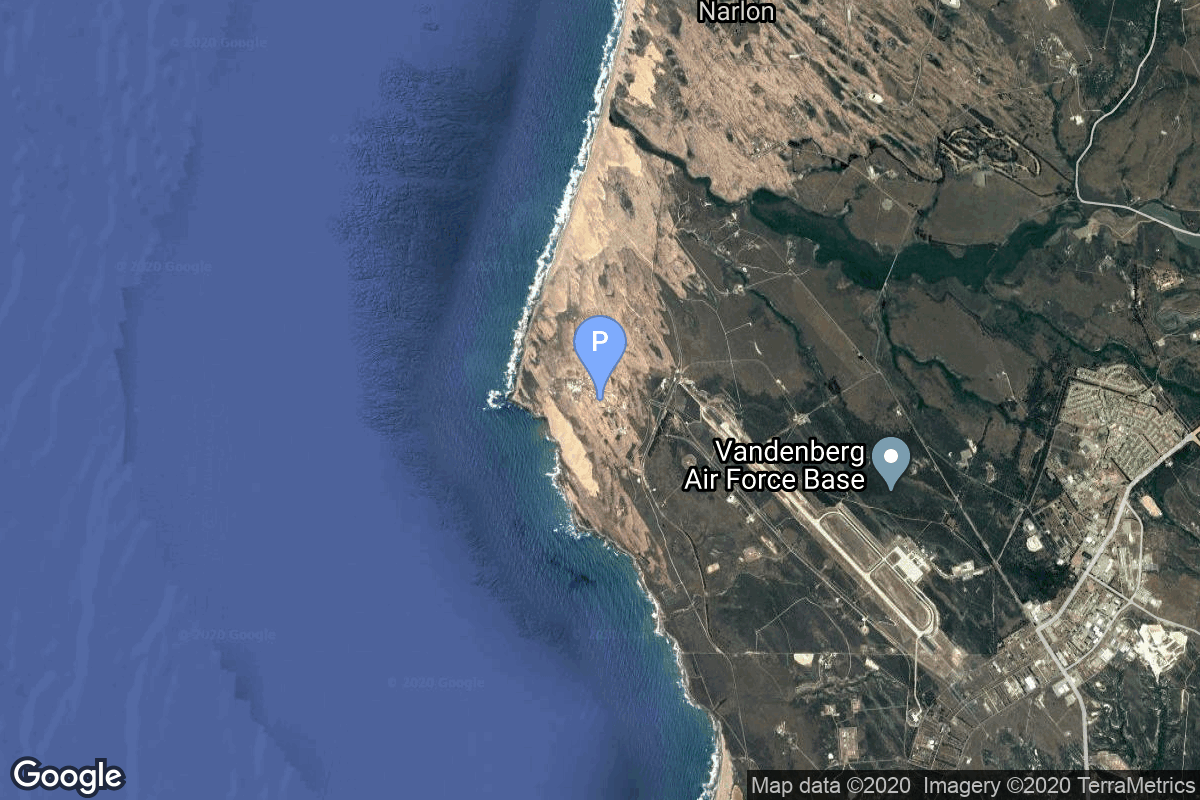
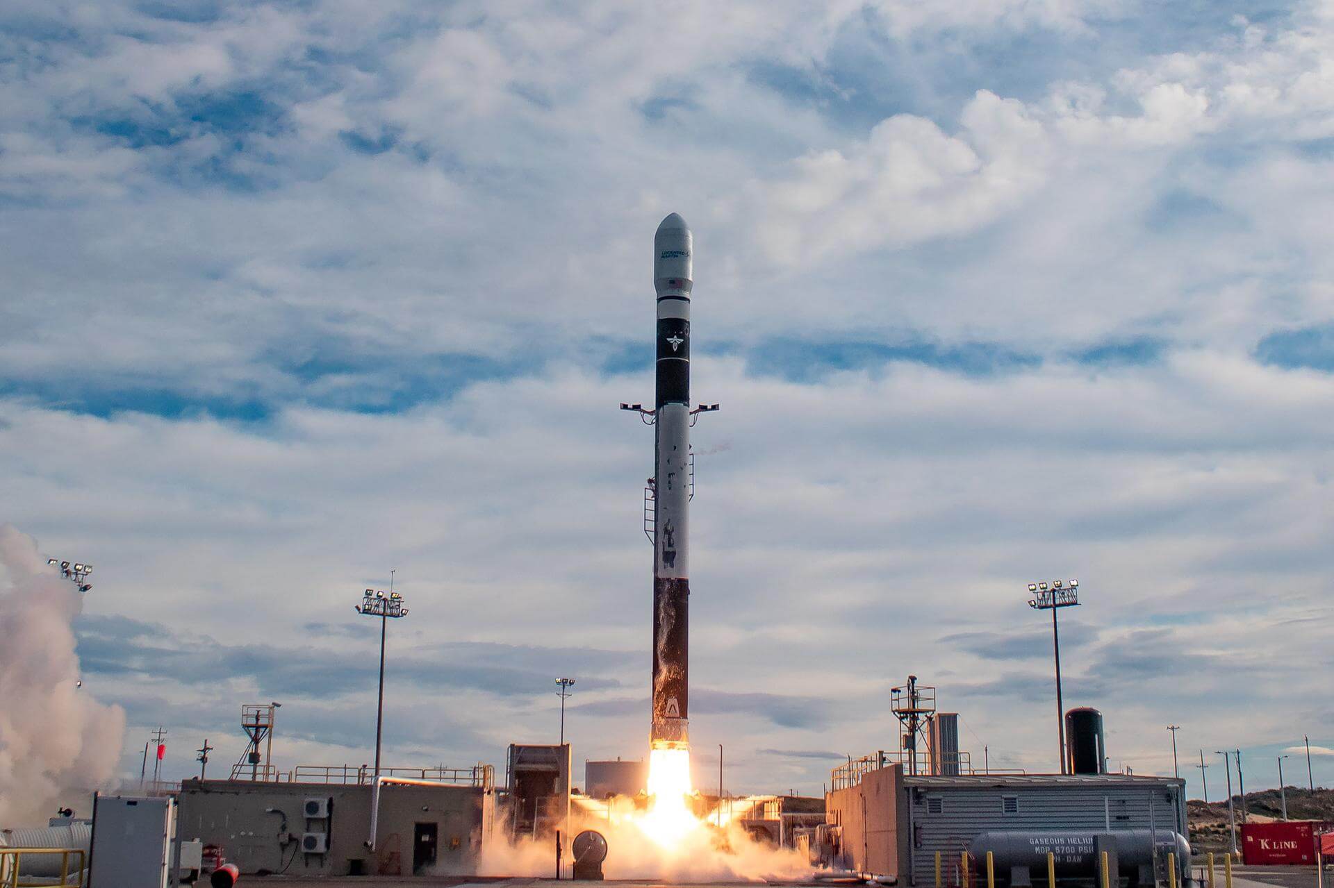
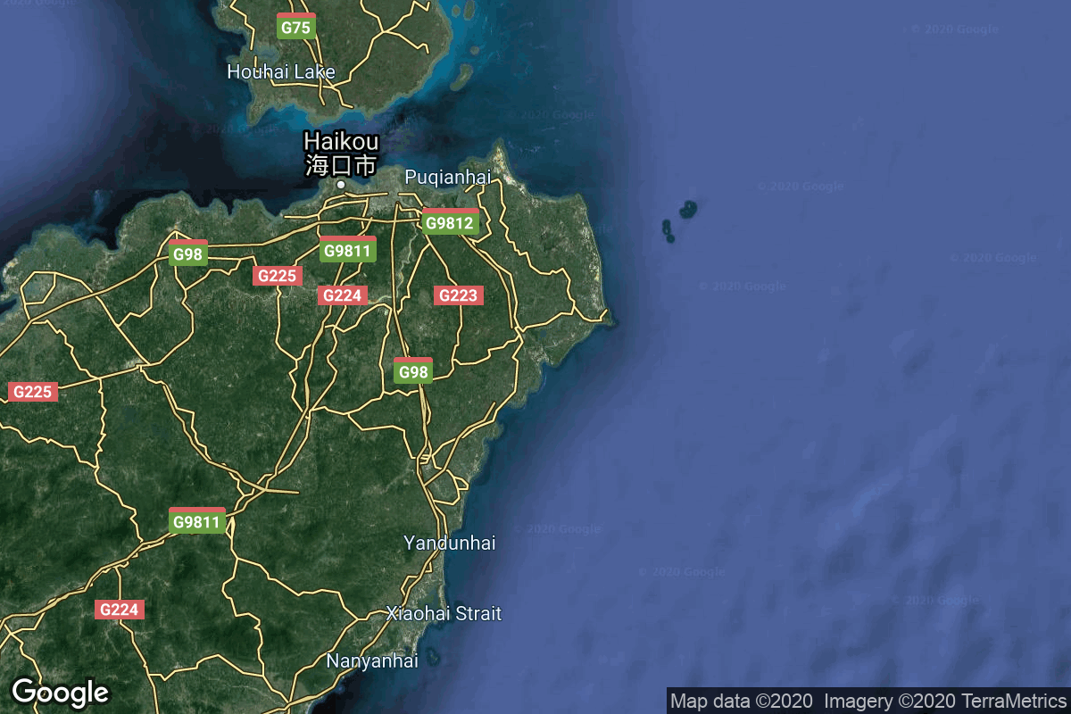
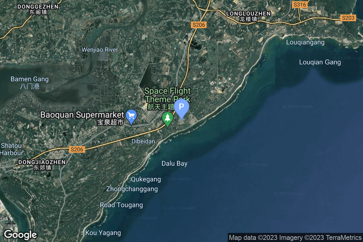
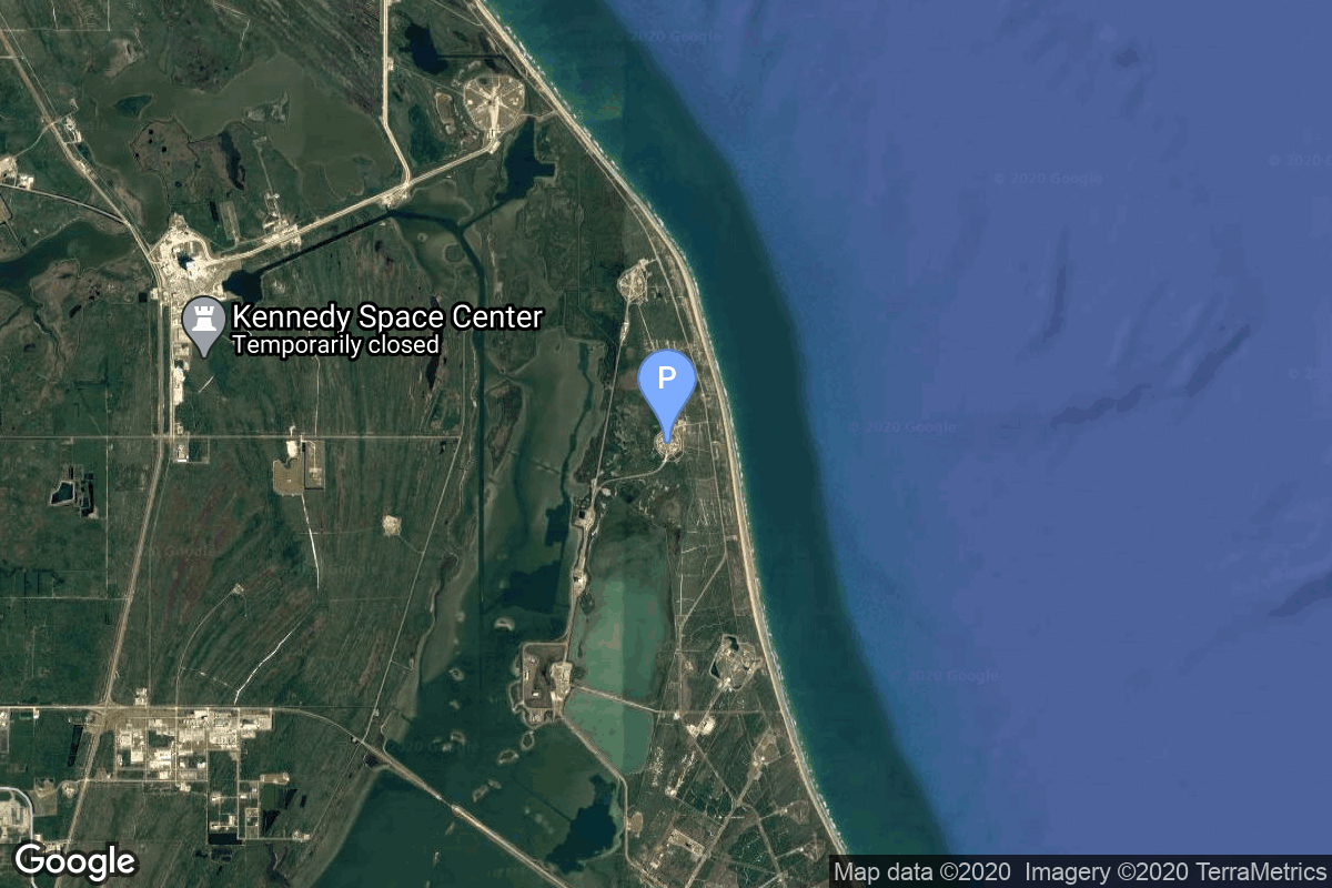
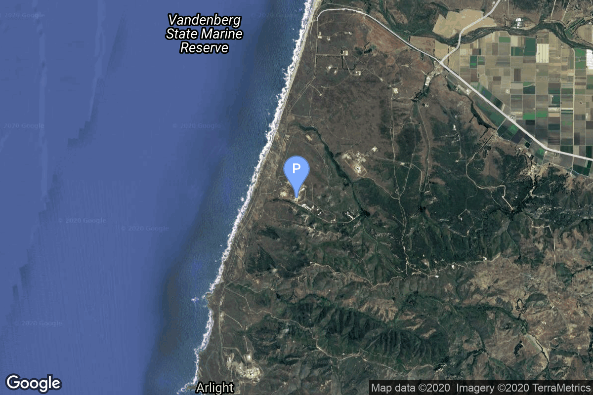
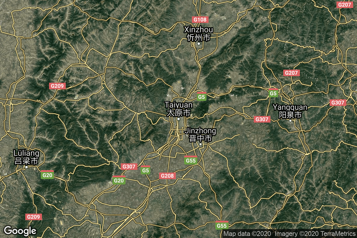
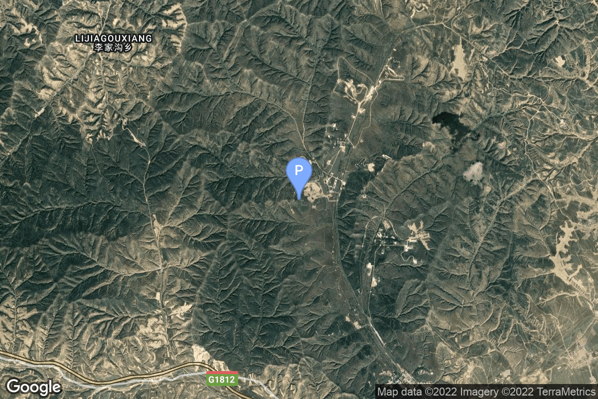
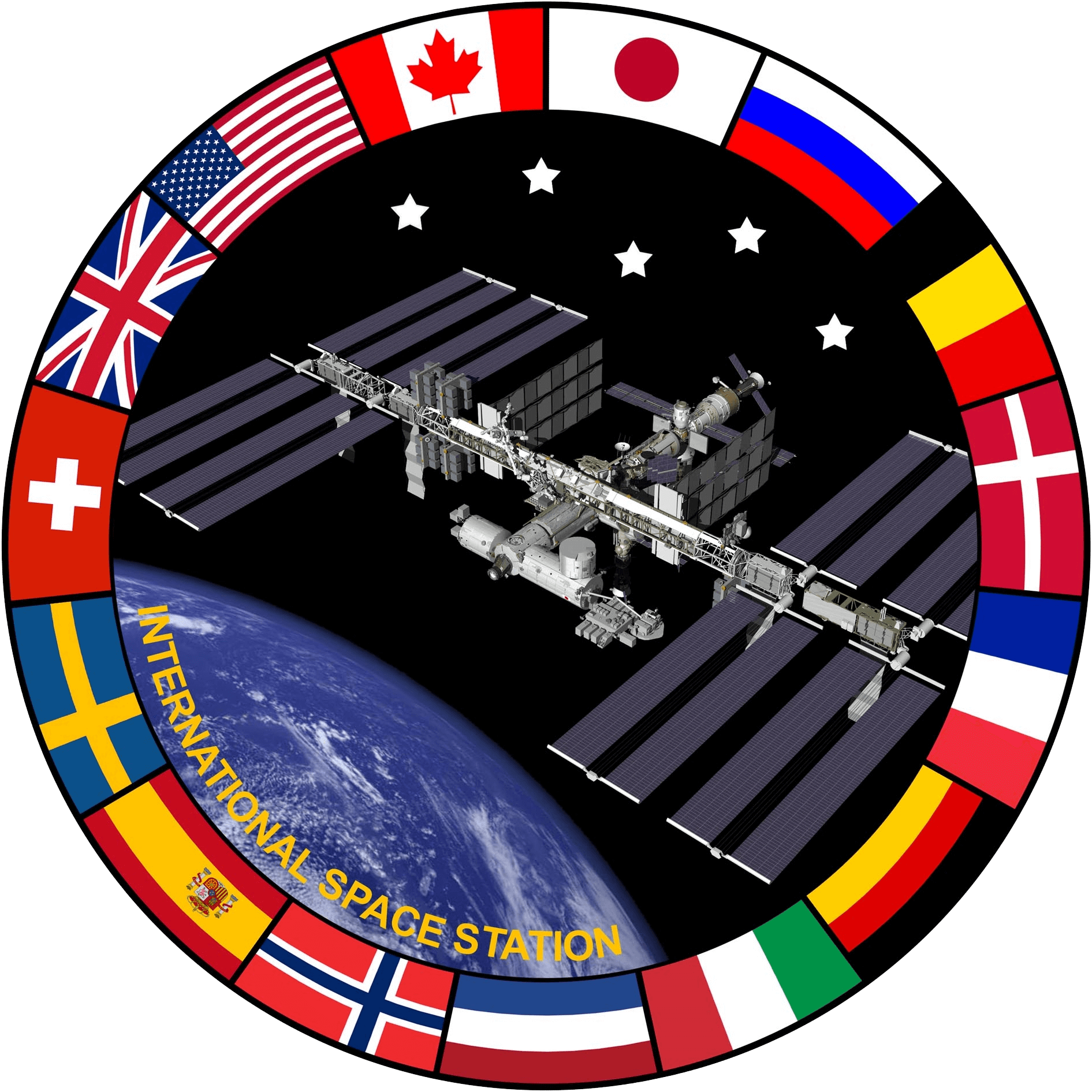
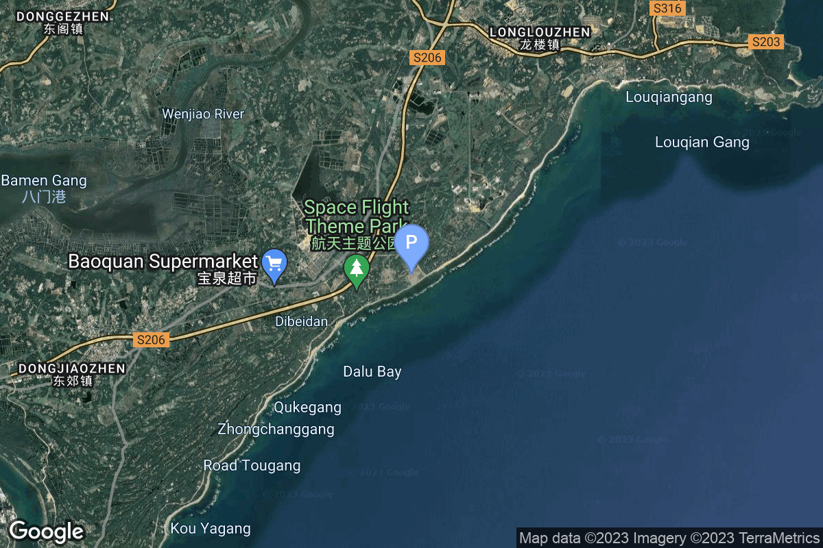
{ "count": 538, "next": "https://lldev.thespacedevs.com/2.0.0/launch/?format=api&limit=10&offset=270&ordering=-id", "previous": "https://lldev.thespacedevs.com/2.0.0/launch/?format=api&limit=10&offset=250&ordering=-id", "results": [ { "id": "875ba957-be5f-42bd-8a6e-ed98254f572a", "url": "https://lldev.thespacedevs.com/2.0.0/launch/875ba957-be5f-42bd-8a6e-ed98254f572a/?format=api", "launch_library_id": null, "slug": "firefly-alpha-block-2-connectedcosmos-launch-1", "name": "Firefly Alpha Block 2 | ConnectedCosmos Launch 1", "status": { "id": 2, "name": "TBD" }, "net": "2026-09-30T00:00:00Z", "window_end": "2026-09-30T00:00:00Z", "window_start": "2026-09-30T00:00:00Z", "inhold": false, "tbdtime": true, "tbddate": true, "probability": null, "holdreason": "", "failreason": "", "hashtag": null, "launch_service_provider": { "id": 265, "url": "https://lldev.thespacedevs.com/2.0.0/agencies/265/?format=api", "name": "Firefly Aerospace", "type": "Commercial" }, "rocket": { "id": 8383, "configuration": { "id": 551, "launch_library_id": null, "url": "https://lldev.thespacedevs.com/2.0.0/config/launcher/551/?format=api", "name": "Firefly Alpha Block 2", "family": "Firefly Alpha", "full_name": "Firefly Alpha Block 2", "variant": "Block 2" } }, "mission": { "id": 6964, "launch_library_id": null, "name": "ConnectedCosmos Launch 1", "description": "First of at least four missions carrying 6 satellites for Open Cosmos' secure LEO broadband constellation, designed to provide independent and resilient connectivity infrastructure for Europe and the world using high-priority Ka-band spectrum filings by the Principality of Liechtenstein.", "launch_designator": null, "type": "Communications", "orbit": { "id": 13, "name": "Polar Orbit", "abbrev": "PO" } }, "pad": { "id": 39, "url": "https://lldev.thespacedevs.com/2.0.0/pad/39/?format=api", "agency_id": null, "name": "Space Launch Complex 2W", "info_url": null, "wiki_url": "https://en.wikipedia.org/wiki/Vandenberg_Space_Launch_Complex_2", "map_url": "https://www.google.com/maps?q=34.7556,-120.6224", "latitude": "34.7556", "longitude": "-120.6224", "location": { "id": 11, "url": "https://lldev.thespacedevs.com/2.0.0/location/11/?format=api", "name": "Vandenberg SFB, CA, USA", "country_code": "USA", "map_image": "https://thespacedevs-dev.nyc3.digitaloceanspaces.com/media/map_images/location_11_20200803142416.jpg", "total_launch_count": 894, "total_landing_count": 35 }, "map_image": "https://thespacedevs-dev.nyc3.digitaloceanspaces.com/media/map_images/pad_39_20200803143542.jpg", "total_launch_count": 99 }, "webcast_live": false, "image": "https://thespacedevs-dev.nyc3.digitaloceanspaces.com/media/images/firefly_alpha_l_image_20240605174156.jpeg", "infographic": null, "program": [] }, { "id": "87347db1-de71-4c66-803c-7f602649e56c", "url": "https://lldev.thespacedevs.com/2.0.0/launch/87347db1-de71-4c66-803c-7f602649e56c/?format=api", "launch_library_id": null, "slug": "long-march-8a-satnet-leo-group-06", "name": "Long March 8A | SatNet LEO Group 06", "status": { "id": 3, "name": "Success" }, "net": "2025-07-30T07:49:00Z", "window_end": "2025-07-30T08:07:00Z", "window_start": "2025-07-30T07:41:00Z", "inhold": false, "tbdtime": false, "tbddate": false, "probability": null, "holdreason": "", "failreason": "", "hashtag": null, "launch_service_provider": { "id": 88, "url": "https://lldev.thespacedevs.com/2.0.0/agencies/88/?format=api", "name": "China Aerospace Science and Technology Corporation", "type": "Government" }, "rocket": { "id": 8591, "configuration": { "id": 518, "launch_library_id": null, "url": "https://lldev.thespacedevs.com/2.0.0/config/launcher/518/?format=api", "name": "Long March 8A", "family": "Long March", "full_name": "Long March 8A", "variant": "A" } }, "mission": { "id": 7183, "launch_library_id": null, "name": "SatNet LEO Group 06", "description": "A batch of 9 Low Earth Orbit communication satellites for the Chinese state owned SatNet constellation operated by the China Satellite Network Group.\r\n\r\nThe constellation will eventually consists of 13000 satellites.", "launch_designator": null, "type": "Communications", "orbit": { "id": 8, "name": "Low Earth Orbit", "abbrev": "LEO" } }, "pad": { "id": 218, "url": "https://lldev.thespacedevs.com/2.0.0/pad/218/?format=api", "agency_id": null, "name": "Commercial LC-1", "info_url": null, "wiki_url": "https://en.wikipedia.org/wiki/Wenchang_Commercial_Space_Launch_Site", "map_url": "https://www.google.com/maps?q=19.597275,110.930753", "latitude": "19.597275", "longitude": "110.930753", "location": { "id": 8, "url": "https://lldev.thespacedevs.com/2.0.0/location/8/?format=api", "name": "Wenchang Space Launch Site, People's Republic of China", "country_code": "CHN", "map_image": "https://thespacedevs-dev.nyc3.digitaloceanspaces.com/media/map_images/location_8_20200803142445.jpg", "total_launch_count": 66, "total_landing_count": 0 }, "map_image": "https://thespacedevs-dev.nyc3.digitaloceanspaces.com/media/map_images/pad_commercial_lc-1_20231225074041.jpg", "total_launch_count": 11 }, "webcast_live": false, "image": "https://thespacedevs-dev.nyc3.digitaloceanspaces.com/media/images/cz-8a_launch_2_image_20251206093107.jpeg", "infographic": null, "program": [] }, { "id": "8701f102-a33e-450b-87b1-660679aab736", "url": "https://lldev.thespacedevs.com/2.0.0/launch/8701f102-a33e-450b-87b1-660679aab736/?format=api", "launch_library_id": null, "slug": "falcon-9-block-5-echostar-25", "name": "Falcon 9 Block 5 | EchoStar 25", "status": { "id": 3, "name": "Success" }, "net": "2026-03-10T04:19:00Z", "window_end": "2026-03-10T05:43:00Z", "window_start": "2026-03-10T03:14:00Z", "inhold": false, "tbdtime": false, "tbddate": false, "probability": 99, "holdreason": "", "failreason": "", "hashtag": null, "launch_service_provider": { "id": 121, "url": "https://lldev.thespacedevs.com/2.0.0/agencies/121/?format=api", "name": "SpaceX", "type": "Commercial" }, "rocket": { "id": 8647, "configuration": { "id": 164, "launch_library_id": 188, "url": "https://lldev.thespacedevs.com/2.0.0/config/launcher/164/?format=api", "name": "Falcon 9", "family": "Falcon", "full_name": "Falcon 9 Block 5", "variant": "Block 5" } }, "mission": { "id": 7239, "launch_library_id": null, "name": "EchoStar 25", "description": "EchoStar 25 is a direct broadcast satellite, built on the proven Maxar 1300 series platform, which will deliver content across North America. It will be equipped with a high-power, multi-spot beam payload, allowing DISH to provide high-quality content to its customers.", "launch_designator": null, "type": "Communications", "orbit": { "id": 2, "name": "Geostationary Transfer Orbit", "abbrev": "GTO" } }, "pad": { "id": 80, "url": "https://lldev.thespacedevs.com/2.0.0/pad/80/?format=api", "agency_id": 121, "name": "Space Launch Complex 40", "info_url": null, "wiki_url": "https://en.wikipedia.org/wiki/Cape_Canaveral_Air_Force_Station_Space_Launch_Complex_40", "map_url": "https://www.google.com/maps?q=28.56194122,-80.57735736", "latitude": "28.56194122", "longitude": "-80.57735736", "location": { "id": 12, "url": "https://lldev.thespacedevs.com/2.0.0/location/12/?format=api", "name": "Cape Canaveral SFS, FL, USA", "country_code": "USA", "map_image": "https://thespacedevs-dev.nyc3.digitaloceanspaces.com/media/map_images/location_12_20200803142519.jpg", "total_launch_count": 1116, "total_landing_count": 75 }, "map_image": "https://thespacedevs-dev.nyc3.digitaloceanspaces.com/media/map_images/pad_80_20200803143323.jpg", "total_launch_count": 389 }, "webcast_live": false, "image": "https://thespacedevs-dev.nyc3.digitaloceanspaces.com/media/images/falcon_9_liftof_image_20260310063823.jpg", "infographic": null, "program": [] }, { "id": "86d62815-9266-481b-951e-e53670d27341", "url": "https://lldev.thespacedevs.com/2.0.0/launch/86d62815-9266-481b-951e-e53670d27341/?format=api", "launch_library_id": null, "slug": "falcon-9-block-5-nrol-48", "name": "Falcon 9 Block 5 | NROL-48", "status": { "id": 3, "name": "Success" }, "net": "2025-09-22T17:38:00Z", "window_end": "2025-09-22T18:23:00Z", "window_start": "2025-09-22T17:23:00Z", "inhold": false, "tbdtime": false, "tbddate": false, "probability": null, "holdreason": "", "failreason": "", "hashtag": null, "launch_service_provider": { "id": 121, "url": "https://lldev.thespacedevs.com/2.0.0/agencies/121/?format=api", "name": "SpaceX", "type": "Commercial" }, "rocket": { "id": 8523, "configuration": { "id": 164, "launch_library_id": 188, "url": "https://lldev.thespacedevs.com/2.0.0/config/launcher/164/?format=api", "name": "Falcon 9", "family": "Falcon", "full_name": "Falcon 9 Block 5", "variant": "Block 5" } }, "mission": { "id": 7113, "launch_library_id": null, "name": "NROL-48", "description": "Eleventh batch of satellites for a reconnaissance satellite constellation built by SpaceX and Northrop Grumman for the National Reconnaissance Office to provide imaging and other reconnaissance capabilities.", "launch_designator": null, "type": "Government/Top Secret", "orbit": { "id": 25, "name": "Unknown", "abbrev": "N/A" } }, "pad": { "id": 16, "url": "https://lldev.thespacedevs.com/2.0.0/pad/16/?format=api", "agency_id": null, "name": "Space Launch Complex 4E", "info_url": null, "wiki_url": "https://en.wikipedia.org/wiki/Vandenberg_Space_Launch_Complex_4#SLC-4E", "map_url": "https://www.google.com/maps?q=34.632,-120.611", "latitude": "34.632", "longitude": "-120.611", "location": { "id": 11, "url": "https://lldev.thespacedevs.com/2.0.0/location/11/?format=api", "name": "Vandenberg SFB, CA, USA", "country_code": "USA", "map_image": "https://thespacedevs-dev.nyc3.digitaloceanspaces.com/media/map_images/location_11_20200803142416.jpg", "total_launch_count": 894, "total_landing_count": 35 }, "map_image": "https://thespacedevs-dev.nyc3.digitaloceanspaces.com/media/map_images/pad_16_20200803143532.jpg", "total_launch_count": 278 }, "webcast_live": false, "image": "https://thespacedevs-dev.nyc3.digitaloceanspaces.com/media/images/falcon_9_on_slc_image_20241024165956.jpg", "infographic": null, "program": [] }, { "id": "86a178d5-7ea4-4a46-b1d7-801037ea1dfd", "url": "https://lldev.thespacedevs.com/2.0.0/launch/86a178d5-7ea4-4a46-b1d7-801037ea1dfd/?format=api", "launch_library_id": null, "slug": "long-march-6a-satnet-leo-group-11", "name": "Long March 6A | SatNet LEO Group 11", "status": { "id": 3, "name": "Success" }, "net": "2025-09-27T12:40:00Z", "window_end": "2025-09-27T12:47:00Z", "window_start": "2025-09-27T12:31:00Z", "inhold": false, "tbdtime": false, "tbddate": false, "probability": null, "holdreason": "", "failreason": "", "hashtag": null, "launch_service_provider": { "id": 88, "url": "https://lldev.thespacedevs.com/2.0.0/agencies/88/?format=api", "name": "China Aerospace Science and Technology Corporation", "type": "Government" }, "rocket": { "id": 8725, "configuration": { "id": 478, "launch_library_id": null, "url": "https://lldev.thespacedevs.com/2.0.0/config/launcher/478/?format=api", "name": "Long March 6A", "family": "Long March", "full_name": "Long March 6A", "variant": "A" } }, "mission": { "id": 7316, "launch_library_id": null, "name": "SatNet LEO Group 11", "description": "A batch of 5 Low Earth Orbit communication satellites for the Chinese state owned SatNet constellation operated by the China Satellite Network Group.\r\n\r\nThe constellation will eventually consists of 13000 satellites.", "launch_designator": null, "type": "Communications", "orbit": { "id": 13, "name": "Polar Orbit", "abbrev": "PO" } }, "pad": { "id": 200, "url": "https://lldev.thespacedevs.com/2.0.0/pad/200/?format=api", "agency_id": null, "name": "Launch Complex 9A", "info_url": null, "wiki_url": null, "map_url": "https://www.google.com/maps?q=38.8583,111.5802", "latitude": "38.8583", "longitude": "111.5802", "location": { "id": 19, "url": "https://lldev.thespacedevs.com/2.0.0/location/19/?format=api", "name": "Taiyuan Satellite Launch Center, People's Republic of China", "country_code": "CHN", "map_image": "https://thespacedevs-dev.nyc3.digitaloceanspaces.com/media/map_images/location_19_20200803142421.jpg", "total_launch_count": 156, "total_landing_count": 0 }, "map_image": "https://thespacedevs-dev.nyc3.digitaloceanspaces.com/media/map_images/pad_launch_complex_9a_20220330003717.jpg", "total_launch_count": 25 }, "webcast_live": false, "image": "https://thespacedevs-dev.nyc3.digitaloceanspaces.com/media/images/long_march_6a__image_20251209050223.jpeg", "infographic": null, "program": [] }, { "id": "862b54e3-7bf8-48e5-8cd1-d77257d5fde9", "url": "https://lldev.thespacedevs.com/2.0.0/launch/862b54e3-7bf8-48e5-8cd1-d77257d5fde9/?format=api", "launch_library_id": null, "slug": "falcon-9-block-5-crew-12", "name": "Falcon 9 Block 5 | Crew-12", "status": { "id": 3, "name": "Success" }, "net": "2026-02-13T10:15:56Z", "window_end": "2026-02-13T10:15:56Z", "window_start": "2026-02-13T10:15:56Z", "inhold": false, "tbdtime": false, "tbddate": false, "probability": 90, "holdreason": "", "failreason": "", "hashtag": null, "launch_service_provider": { "id": 121, "url": "https://lldev.thespacedevs.com/2.0.0/agencies/121/?format=api", "name": "SpaceX", "type": "Commercial" }, "rocket": { "id": 7599, "configuration": { "id": 164, "launch_library_id": 188, "url": "https://lldev.thespacedevs.com/2.0.0/config/launcher/164/?format=api", "name": "Falcon 9", "family": "Falcon", "full_name": "Falcon 9 Block 5", "variant": "Block 5" } }, "mission": { "id": 6042, "launch_library_id": null, "name": "Crew-12", "description": "SpaceX Crew-12 is the twelfth crewed operational flight of a Crew Dragon spacecraft to the International Space Station as part of NASA's Commercial Crew Program.", "launch_designator": null, "type": "Human Exploration", "orbit": { "id": 8, "name": "Low Earth Orbit", "abbrev": "LEO" } }, "pad": { "id": 80, "url": "https://lldev.thespacedevs.com/2.0.0/pad/80/?format=api", "agency_id": 121, "name": "Space Launch Complex 40", "info_url": null, "wiki_url": "https://en.wikipedia.org/wiki/Cape_Canaveral_Air_Force_Station_Space_Launch_Complex_40", "map_url": "https://www.google.com/maps?q=28.56194122,-80.57735736", "latitude": "28.56194122", "longitude": "-80.57735736", "location": { "id": 12, "url": "https://lldev.thespacedevs.com/2.0.0/location/12/?format=api", "name": "Cape Canaveral SFS, FL, USA", "country_code": "USA", "map_image": "https://thespacedevs-dev.nyc3.digitaloceanspaces.com/media/map_images/location_12_20200803142519.jpg", "total_launch_count": 1116, "total_landing_count": 75 }, "map_image": "https://thespacedevs-dev.nyc3.digitaloceanspaces.com/media/map_images/pad_80_20200803143323.jpg", "total_launch_count": 389 }, "webcast_live": false, "image": "https://thespacedevs-dev.nyc3.digitaloceanspaces.com/media/images/falcon_9_at_slc_image_20260208171226.jpg", "infographic": null, "program": [ { "id": 17, "url": "https://lldev.thespacedevs.com/2.0.0/program/17/?format=api", "name": "International Space Station", "description": "The International Space Station programme is tied together by a complex set of legal, political and financial agreements between the sixteen nations involved in the project, governing ownership of the various components, rights to crewing and utilization, and responsibilities for crew rotation and resupply of the International Space Station. It was conceived in 1984 by President Ronald Reagan, during the Space Station Freedom project as it was originally called.", "agencies": [ { "id": 16, "url": "https://lldev.thespacedevs.com/2.0.0/agencies/16/?format=api", "name": "Canadian Space Agency", "type": "Government" }, { "id": 27, "url": "https://lldev.thespacedevs.com/2.0.0/agencies/27/?format=api", "name": "European Space Agency", "type": "Multinational" }, { "id": 37, "url": "https://lldev.thespacedevs.com/2.0.0/agencies/37/?format=api", "name": "Japan Aerospace Exploration Agency", "type": "Government" }, { "id": 44, "url": "https://lldev.thespacedevs.com/2.0.0/agencies/44/?format=api", "name": "National Aeronautics and Space Administration", "type": "Government" }, { "id": 63, "url": "https://lldev.thespacedevs.com/2.0.0/agencies/63/?format=api", "name": "Russian Federal Space Agency (ROSCOSMOS)", "type": "Government" } ], "image_url": "https://thespacedevs-dev.nyc3.digitaloceanspaces.com/media/images/international2_program_20201129184745.png", "start_date": "1998-11-20T06:40:00Z", "end_date": null, "info_url": "https://www.nasa.gov/mission_pages/station/main/index.html", "wiki_url": "https://en.wikipedia.org/wiki/International_Space_Station_programme" }, { "id": 5, "url": "https://lldev.thespacedevs.com/2.0.0/program/5/?format=api", "name": "Commercial Crew Program", "description": "The Commercial Crew Program (CCP) is a human spaceflight program operated by NASA, in association with American aerospace manufacturers Boeing and SpaceX. The program conducts rotations between the expeditions of the International Space Station program, transporting crews to and from the International Space Station (ISS) aboard Boeing Starliner and SpaceX Crew Dragon capsules, in the first crewed orbital spaceflights operated by private companies.", "agencies": [ { "id": 80, "url": "https://lldev.thespacedevs.com/2.0.0/agencies/80/?format=api", "name": "Boeing", "type": "Commercial" }, { "id": 44, "url": "https://lldev.thespacedevs.com/2.0.0/agencies/44/?format=api", "name": "National Aeronautics and Space Administration", "type": "Government" }, { "id": 121, "url": "https://lldev.thespacedevs.com/2.0.0/agencies/121/?format=api", "name": "SpaceX", "type": "Commercial" } ], "image_url": "https://thespacedevs-dev.nyc3.digitaloceanspaces.com/media/images/commercial2520_program_20200820201209.png", "start_date": "2011-04-18T00:00:00Z", "end_date": null, "info_url": "https://www.nasa.gov/exploration/commercial/crew/index.html", "wiki_url": "https://en.wikipedia.org/wiki/Commercial_Crew_Program" } ] }, { "id": "84f8dd64-8146-45e1-b34c-7df662a59c65", "url": "https://lldev.thespacedevs.com/2.0.0/launch/84f8dd64-8146-45e1-b34c-7df662a59c65/?format=api", "launch_library_id": null, "slug": "hyperbola-3-demo-flight", "name": "Hyperbola-3 | Demo Flight", "status": { "id": 2, "name": "TBD" }, "net": "2026-12-31T00:00:00Z", "window_end": "2026-12-31T00:00:00Z", "window_start": "2026-12-31T00:00:00Z", "inhold": false, "tbdtime": true, "tbddate": true, "probability": null, "holdreason": "", "failreason": "", "hashtag": null, "launch_service_provider": { "id": 274, "url": "https://lldev.thespacedevs.com/2.0.0/agencies/274/?format=api", "name": "i-Space", "type": "Commercial" }, "rocket": { "id": 8825, "configuration": { "id": 543, "launch_library_id": null, "url": "https://lldev.thespacedevs.com/2.0.0/config/launcher/543/?format=api", "name": "Hyperbola-3", "family": "", "full_name": "Hyperbola-3", "variant": "" } }, "mission": { "id": 7416, "launch_library_id": null, "name": "Demo Flight", "description": "First test launch of i-Space’s Hyperbola-3 rocket.", "launch_designator": null, "type": "Test Flight", "orbit": { "id": 25, "name": "Unknown", "abbrev": "N/A" } }, "pad": { "id": 219, "url": "https://lldev.thespacedevs.com/2.0.0/pad/219/?format=api", "agency_id": null, "name": "Commercial LC-2", "info_url": null, "wiki_url": "https://en.wikipedia.org/wiki/Wenchang_Commercial_Space_Launch_Site", "map_url": "https://www.google.com/maps?q=19.59755,110.936481", "latitude": "19.59755", "longitude": "110.936481", "location": { "id": 8, "url": "https://lldev.thespacedevs.com/2.0.0/location/8/?format=api", "name": "Wenchang Space Launch Site, People's Republic of China", "country_code": "CHN", "map_image": "https://thespacedevs-dev.nyc3.digitaloceanspaces.com/media/map_images/location_8_20200803142445.jpg", "total_launch_count": 66, "total_landing_count": 0 }, "map_image": "https://thespacedevs-dev.nyc3.digitaloceanspaces.com/media/map_images/pad_commercial_lc-2_20231225074048.jpg", "total_launch_count": 6 }, "webcast_live": false, "image": null, "infographic": null, "program": [] }, { "id": "84a2a107-1e44-4994-ad9f-430ee81a741a", "url": "https://lldev.thespacedevs.com/2.0.0/launch/84a2a107-1e44-4994-ad9f-430ee81a741a/?format=api", "launch_library_id": null, "slug": "falcon-9-block-5-nusantara-lima", "name": "Falcon 9 Block 5 | Nusantara Lima", "status": { "id": 3, "name": "Success" }, "net": "2025-09-12T01:56:00Z", "window_end": "2025-09-12T01:56:00Z", "window_start": "2025-09-11T23:59:00Z", "inhold": false, "tbdtime": false, "tbddate": false, "probability": 45, "holdreason": "", "failreason": "", "hashtag": null, "launch_service_provider": { "id": 121, "url": "https://lldev.thespacedevs.com/2.0.0/agencies/121/?format=api", "name": "SpaceX", "type": "Commercial" }, "rocket": { "id": 7545, "configuration": { "id": 164, "launch_library_id": 188, "url": "https://lldev.thespacedevs.com/2.0.0/config/launcher/164/?format=api", "name": "Falcon 9", "family": "Falcon", "full_name": "Falcon 9 Block 5", "variant": "Block 5" } }, "mission": { "id": 5972, "launch_library_id": null, "name": "Nusantara Lima", "description": "Nusantara Lima is an Indonesian geostationary communications satellite with a capacity of more than 160 Gbps.", "launch_designator": null, "type": "Communications", "orbit": { "id": 2, "name": "Geostationary Transfer Orbit", "abbrev": "GTO" } }, "pad": { "id": 80, "url": "https://lldev.thespacedevs.com/2.0.0/pad/80/?format=api", "agency_id": 121, "name": "Space Launch Complex 40", "info_url": null, "wiki_url": "https://en.wikipedia.org/wiki/Cape_Canaveral_Air_Force_Station_Space_Launch_Complex_40", "map_url": "https://www.google.com/maps?q=28.56194122,-80.57735736", "latitude": "28.56194122", "longitude": "-80.57735736", "location": { "id": 12, "url": "https://lldev.thespacedevs.com/2.0.0/location/12/?format=api", "name": "Cape Canaveral SFS, FL, USA", "country_code": "USA", "map_image": "https://thespacedevs-dev.nyc3.digitaloceanspaces.com/media/map_images/location_12_20200803142519.jpg", "total_launch_count": 1116, "total_landing_count": 75 }, "map_image": "https://thespacedevs-dev.nyc3.digitaloceanspaces.com/media/map_images/pad_80_20200803143323.jpg", "total_launch_count": 389 }, "webcast_live": false, "image": "https://thespacedevs-dev.nyc3.digitaloceanspaces.com/media/images/falcon_9_liftof_image_20251102103143.jpeg", "infographic": null, "program": [] }, { "id": "82aef7fd-9664-4e94-970c-5e99eff1b331", "url": "https://lldev.thespacedevs.com/2.0.0/launch/82aef7fd-9664-4e94-970c-5e99eff1b331/?format=api", "launch_library_id": null, "slug": "long-march-12-satnet-leo-group-07", "name": "Long March 12 | SatNet LEO Group 07", "status": { "id": 3, "name": "Success" }, "net": "2025-08-04T10:21:00Z", "window_end": "2025-08-04T10:42:00Z", "window_start": "2025-08-04T10:14:00Z", "inhold": false, "tbdtime": false, "tbddate": false, "probability": null, "holdreason": "", "failreason": "", "hashtag": null, "launch_service_provider": { "id": 88, "url": "https://lldev.thespacedevs.com/2.0.0/agencies/88/?format=api", "name": "China Aerospace Science and Technology Corporation", "type": "Government" }, "rocket": { "id": 8600, "configuration": { "id": 517, "launch_library_id": null, "url": "https://lldev.thespacedevs.com/2.0.0/config/launcher/517/?format=api", "name": "Long March 12", "family": "Long March", "full_name": "Long March 12", "variant": "" } }, "mission": { "id": 7192, "launch_library_id": null, "name": "SatNet LEO Group 07", "description": "A batch of 9 Low Earth Orbit communication satellites for the Chinese state owned SatNet constellation operated by the China Satellite Network Group.\r\n\r\nThe constellation will eventually consists of 13000 satellites.", "launch_designator": null, "type": "Communications", "orbit": { "id": 8, "name": "Low Earth Orbit", "abbrev": "LEO" } }, "pad": { "id": 219, "url": "https://lldev.thespacedevs.com/2.0.0/pad/219/?format=api", "agency_id": null, "name": "Commercial LC-2", "info_url": null, "wiki_url": "https://en.wikipedia.org/wiki/Wenchang_Commercial_Space_Launch_Site", "map_url": "https://www.google.com/maps?q=19.59755,110.936481", "latitude": "19.59755", "longitude": "110.936481", "location": { "id": 8, "url": "https://lldev.thespacedevs.com/2.0.0/location/8/?format=api", "name": "Wenchang Space Launch Site, People's Republic of China", "country_code": "CHN", "map_image": "https://thespacedevs-dev.nyc3.digitaloceanspaces.com/media/map_images/location_8_20200803142445.jpg", "total_launch_count": 66, "total_landing_count": 0 }, "map_image": "https://thespacedevs-dev.nyc3.digitaloceanspaces.com/media/map_images/pad_commercial_lc-2_20231225074048.jpg", "total_launch_count": 6 }, "webcast_live": false, "image": "https://thespacedevs-dev.nyc3.digitaloceanspaces.com/media/images/cz-12_on_its_la_image_20241128132937.jpg", "infographic": null, "program": [] }, { "id": "80b587cd-ca6f-4b8f-b026-1d02889a1019", "url": "https://lldev.thespacedevs.com/2.0.0/launch/80b587cd-ca6f-4b8f-b026-1d02889a1019/?format=api", "launch_library_id": null, "slug": "firefly-alpha-block-2-connectedcosmos-launch-4", "name": "Firefly Alpha Block 2 | ConnectedCosmos Launch 4", "status": { "id": 2, "name": "TBD" }, "net": "2027-04-30T00:00:00Z", "window_end": "2027-04-30T00:00:00Z", "window_start": "2027-04-30T00:00:00Z", "inhold": false, "tbdtime": true, "tbddate": true, "probability": null, "holdreason": "", "failreason": "", "hashtag": null, "launch_service_provider": { "id": 265, "url": "https://lldev.thespacedevs.com/2.0.0/agencies/265/?format=api", "name": "Firefly Aerospace", "type": "Commercial" }, "rocket": { "id": 9073, "configuration": { "id": 551, "launch_library_id": null, "url": "https://lldev.thespacedevs.com/2.0.0/config/launcher/551/?format=api", "name": "Firefly Alpha Block 2", "family": "Firefly Alpha", "full_name": "Firefly Alpha Block 2", "variant": "Block 2" } }, "mission": { "id": 7668, "launch_library_id": null, "name": "ConnectedCosmos Launch 4", "description": "Fourth of at least four missions carrying 6 satellites for Open Cosmos' secure LEO broadband constellation, designed to provide independent and resilient connectivity infrastructure for Europe and the world using high-priority Ka-band spectrum filings by the Principality of Liechtenstein.", "launch_designator": null, "type": "Communications", "orbit": { "id": 13, "name": "Polar Orbit", "abbrev": "PO" } }, "pad": { "id": 39, "url": "https://lldev.thespacedevs.com/2.0.0/pad/39/?format=api", "agency_id": null, "name": "Space Launch Complex 2W", "info_url": null, "wiki_url": "https://en.wikipedia.org/wiki/Vandenberg_Space_Launch_Complex_2", "map_url": "https://www.google.com/maps?q=34.7556,-120.6224", "latitude": "34.7556", "longitude": "-120.6224", "location": { "id": 11, "url": "https://lldev.thespacedevs.com/2.0.0/location/11/?format=api", "name": "Vandenberg SFB, CA, USA", "country_code": "USA", "map_image": "https://thespacedevs-dev.nyc3.digitaloceanspaces.com/media/map_images/location_11_20200803142416.jpg", "total_launch_count": 894, "total_landing_count": 35 }, "map_image": "https://thespacedevs-dev.nyc3.digitaloceanspaces.com/media/map_images/pad_39_20200803143542.jpg", "total_launch_count": 99 }, "webcast_live": false, "image": "https://thespacedevs-dev.nyc3.digitaloceanspaces.com/media/images/firefly_alpha_l_image_20240605174156.jpeg", "infographic": null, "program": [] } ] }