Pad List
Filters
Parameters - active, agencies_ids, id, id__contains, latitude__gt, latitude__gte, latitude__lt, latitude__lte, location__id, location__name, location__name__contains, longitude__gt, longitude__gte, longitude__lt, longitude__lte, name, name__contains, orbital_launch_attempt_count, orbital_launch_attempt_count__gt, orbital_launch_attempt_count__gte, orbital_launch_attempt_count__lt, orbital_launch_attempt_count__lte, total_launch_count, total_launch_count__gt, total_launch_count__gte, total_launch_count__lt, total_launch_count__lte
Example - /pads/?location__id=11
Search
Fields searched - location__name, name, orbital_launch_attempt_count, total_launch_count
Example - /pads/?search=39A
Ordering
Fields - id, location__id, location__name, name, orbital_launch_attempt_count, total_launch_count
Example - /pads/?ordering=-orbital_launch_attempt_count
Number of results
Use limit to control the number of objects in the response (max 100)
Example - /pads/?limit=2
Format
Switch to JSON output - /pads/?format=json
Help
Find all the FAQs and support links on the documentation homepage - lldev.thespacedevs.com/docs
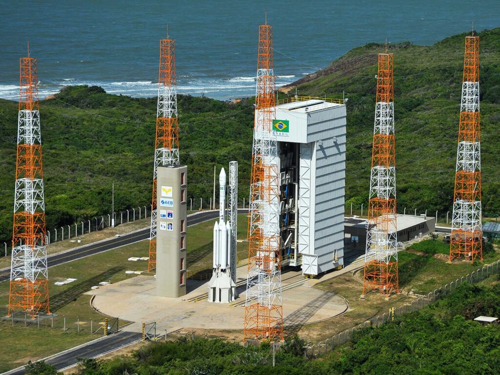
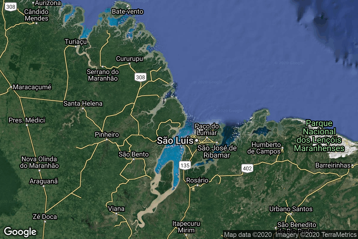
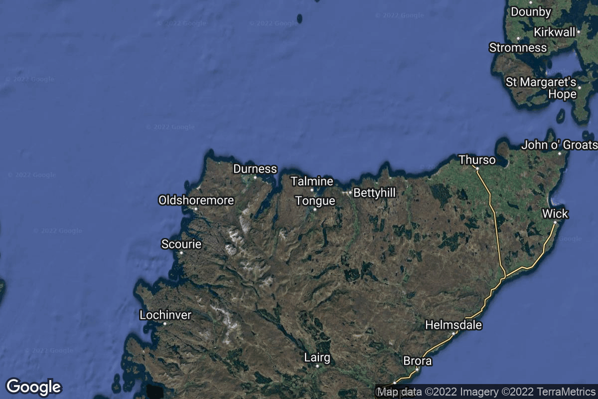
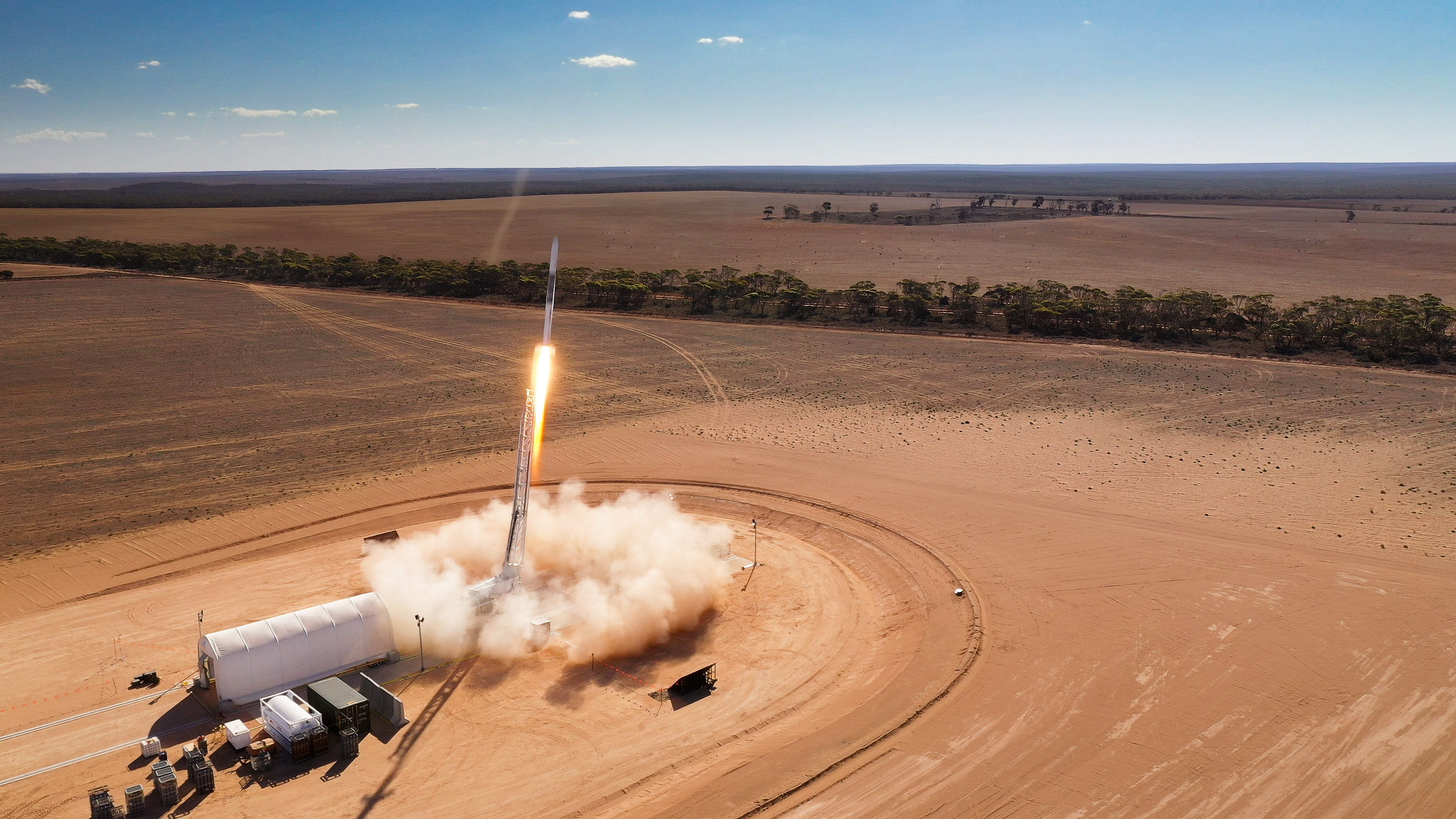
GET /2.3.0/pads/?format=api&offset=190
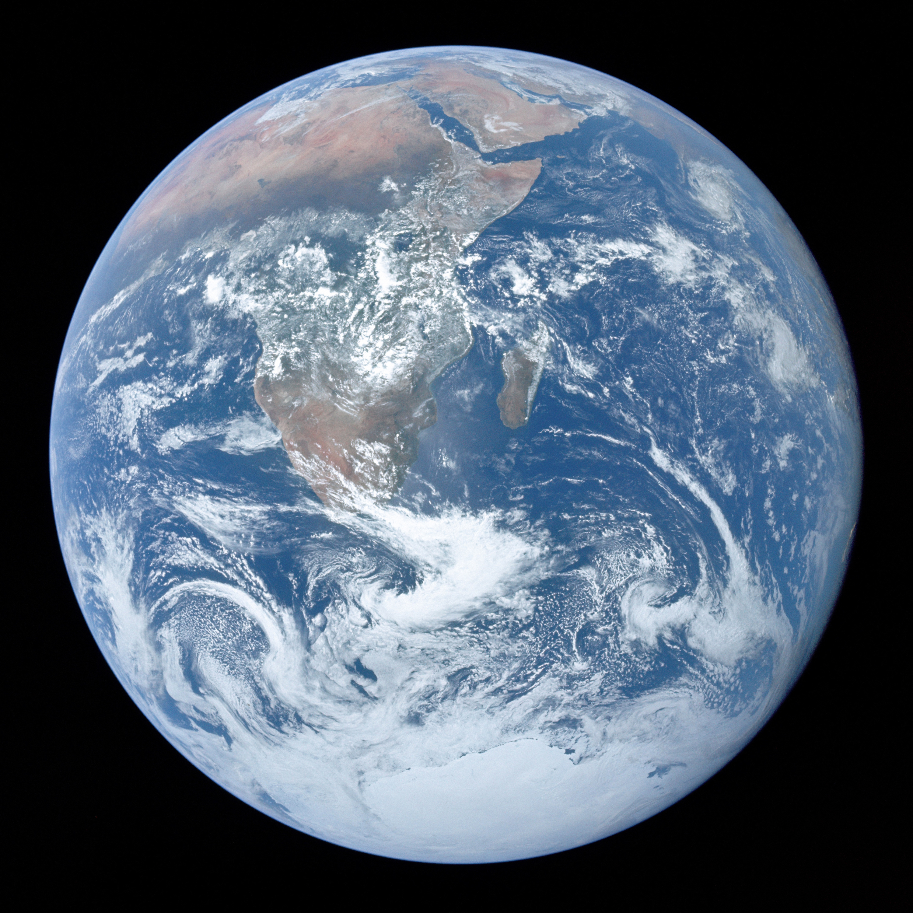
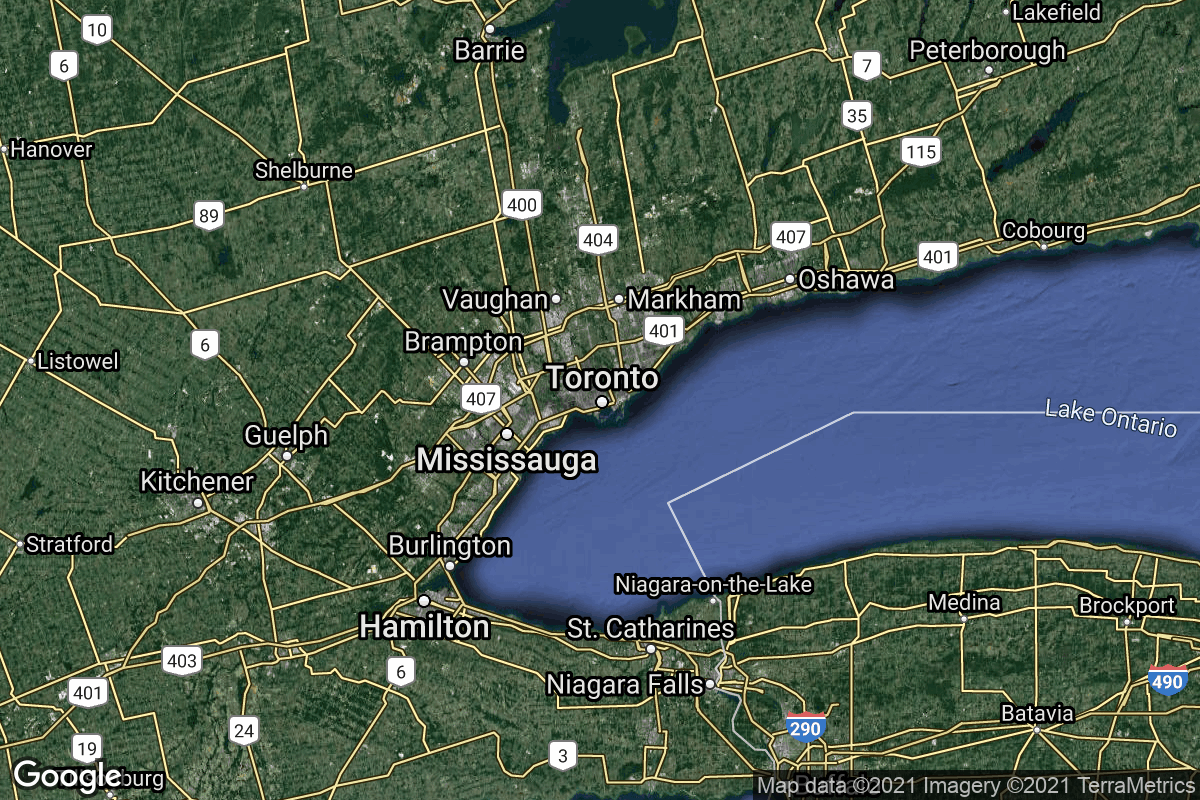
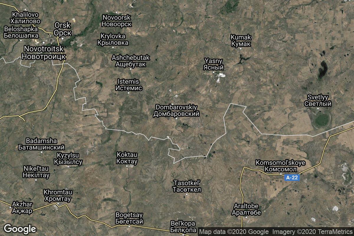
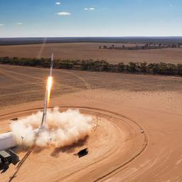
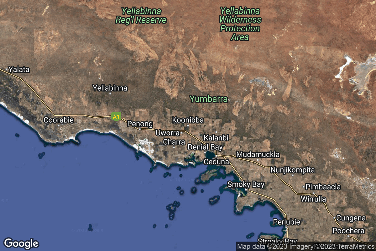
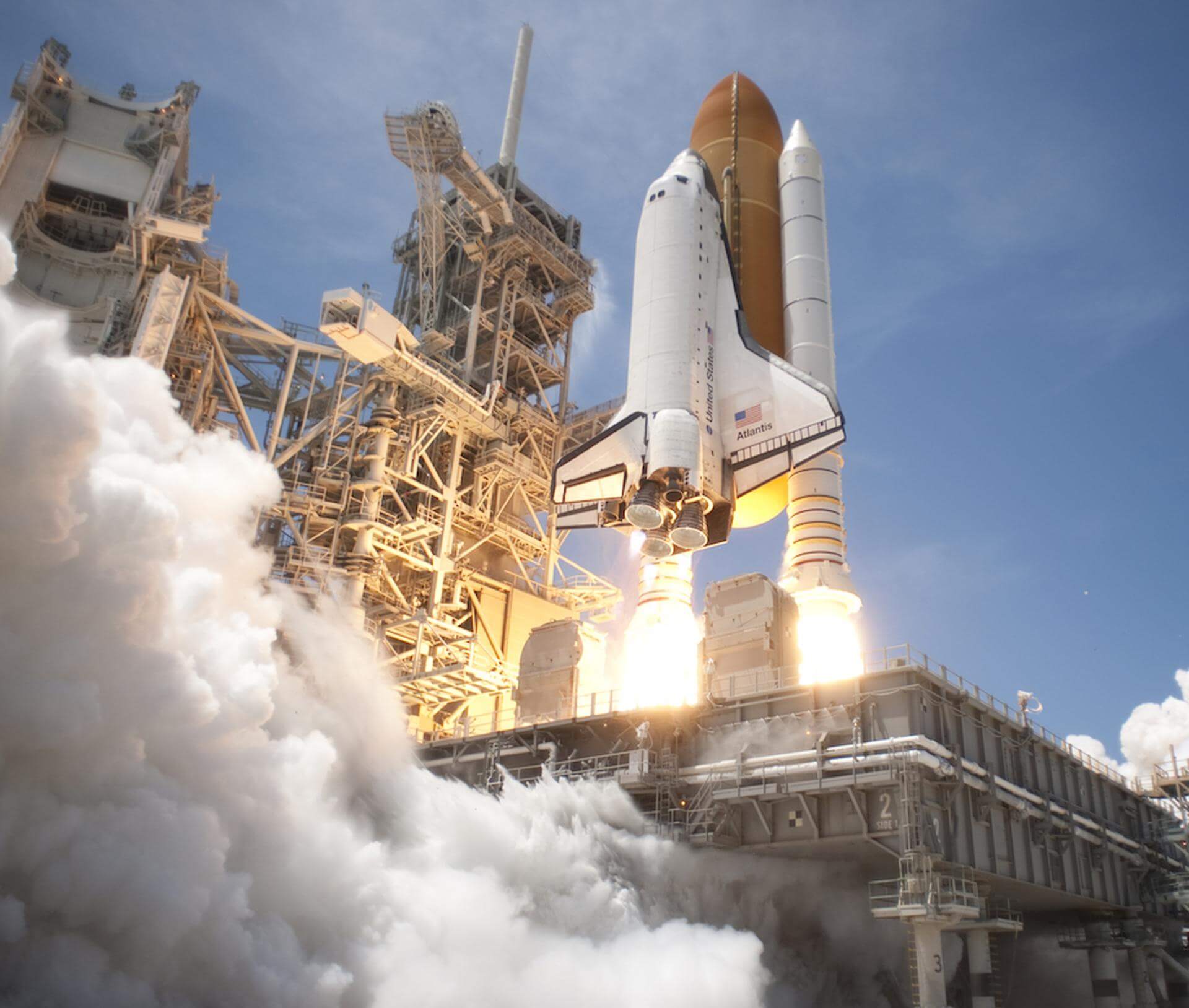
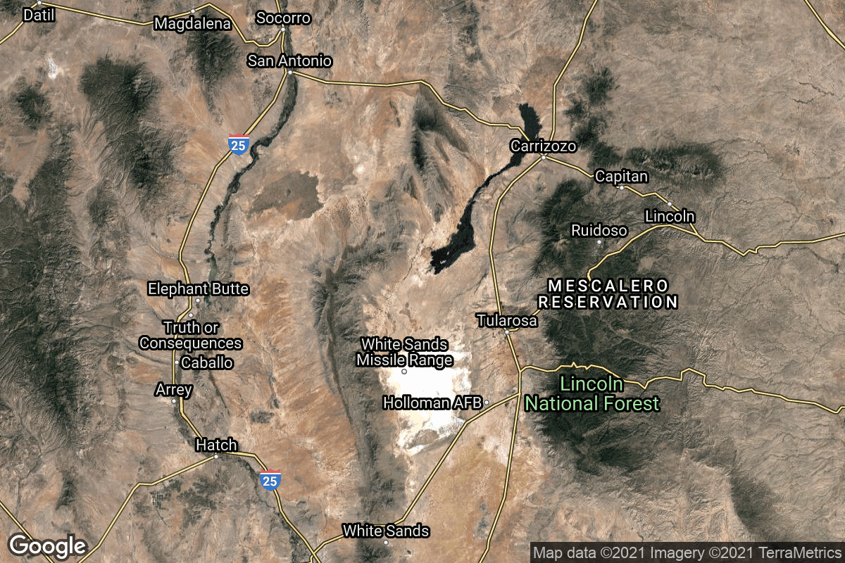
{ "count": 251, "next": "https://lldev.thespacedevs.com/2.3.0/pads/?format=api&limit=10&offset=200", "previous": "https://lldev.thespacedevs.com/2.3.0/pads/?format=api&limit=10&offset=180", "results": [ { "id": 237, "url": "https://lldev.thespacedevs.com/2.3.0/pads/237/?format=api", "active": false, "agencies": [], "name": "Unknown Pad", "image": { "id": 2213, "name": "SaxaVord Spaceport", "image_url": "https://thespacedevs-dev.nyc3.digitaloceanspaces.com/media/images/saxavord_spacep_image_20240919164412.jpg", "thumbnail_url": "https://thespacedevs-dev.nyc3.digitaloceanspaces.com/media/images/saxavord_spacep_image_thumbnail_20240919164413.jpeg", "credit": "SaxaVord", "license": { "id": 1, "name": "Unknown", "priority": 9, "link": null }, "single_use": true, "variants": [] }, "description": "", "info_url": null, "wiki_url": "https://en.wikipedia.org/wiki/SaxaVord_Spaceport", "map_url": "https://www.google.com/maps?q=60.8184,-0.7692", "latitude": 60.8184, "longitude": -0.7692, "country": { "id": 10, "name": "United Kingdom", "alpha_2_code": "GB", "alpha_3_code": "GBR", "nationality_name": "British", "nationality_name_composed": "Brito" }, "map_image": "https://thespacedevs-dev.nyc3.digitaloceanspaces.com/media/map_images/pad_unknown_pad_20241227075133.jpg", "total_launch_count": 0, "orbital_launch_attempt_count": 0, "fastest_turnaround": null, "location": { "response_mode": "normal", "id": 157, "url": "https://lldev.thespacedevs.com/2.3.0/locations/157/?format=api", "name": "SaxaVord Spaceport", "celestial_body": { "response_mode": "normal", "id": 1, "name": "Earth", "type": { "id": 1, "name": "Planet" }, "diameter": 12742000.0, "mass": 5.972168e+24, "gravity": 9.80655, "length_of_day": "1 00:00:00", "atmosphere": true, "image": { "id": 2040, "name": "Earth (Apollo 17)", "image_url": "https://thespacedevs-dev.nyc3.digitaloceanspaces.com/media/images/earth_2528apol_image_20240402194304.jpeg", "thumbnail_url": "https://thespacedevs-dev.nyc3.digitaloceanspaces.com/media/images/earth_2528apol_image_thumbnail_20240402194305.jpeg", "credit": "NASA", "license": { "id": 4, "name": "NASA Image and Media Guidelines", "priority": 0, "link": "https://www.nasa.gov/nasa-brand-center/images-and-media/" }, "single_use": true, "variants": [] }, "description": "Earth is the third planet from the Sun and the only astronomical object known to harbor life.", "wiki_url": "https://en.wikipedia.org/wiki/Earth", "total_attempted_launches": 7651, "successful_launches": 7094, "failed_launches": 557, "total_attempted_landings": 1384, "successful_landings": 1335, "failed_landings": 49 }, "active": true, "country": { "id": 10, "name": "United Kingdom", "alpha_2_code": "GB", "alpha_3_code": "GBR", "nationality_name": "British", "nationality_name_composed": "Brito" }, "description": "SaxaVord Spaceport is a UK spaceport located on the Lamba Ness peninsula on Unst, the most northerly of the inhabited Shetland Islands off the coast of Scotland. The site is near the RAF Saxa Vord radar station and the settlement of Skaw, adjacent to the Saxa Vord distillery.", "image": { "id": 2213, "name": "SaxaVord Spaceport", "image_url": "https://thespacedevs-dev.nyc3.digitaloceanspaces.com/media/images/saxavord_spacep_image_20240919164412.jpg", "thumbnail_url": "https://thespacedevs-dev.nyc3.digitaloceanspaces.com/media/images/saxavord_spacep_image_thumbnail_20240919164413.jpeg", "credit": "SaxaVord", "license": { "id": 1, "name": "Unknown", "priority": 9, "link": null }, "single_use": true, "variants": [] }, "map_image": "https://thespacedevs-dev.nyc3.digitaloceanspaces.com/media/map_images/location_saxavord_spaceport_20211102161146.jpg", "longitude": -0.7692, "latitude": 60.8184, "timezone_name": "Europe/London", "total_launch_count": 0, "total_landing_count": 0 } }, { "id": 44, "url": "https://lldev.thespacedevs.com/2.3.0/pads/44/?format=api", "active": true, "agencies": [], "name": "Unknown Pad", "image": null, "description": null, "info_url": null, "wiki_url": "", "map_url": "https://www.google.com/maps?q=51.036,59.958", "latitude": 51.036, "longitude": 59.958, "country": { "id": 5, "name": "Russia", "alpha_2_code": "RU", "alpha_3_code": "RUS", "nationality_name": "Russian", "nationality_name_composed": "Russo" }, "map_image": "https://thespacedevs-dev.nyc3.digitaloceanspaces.com/media/map_images/pad_44_20200803143327.jpg", "total_launch_count": 0, "orbital_launch_attempt_count": 0, "fastest_turnaround": null, "location": { "response_mode": "normal", "id": 5, "url": "https://lldev.thespacedevs.com/2.3.0/locations/5/?format=api", "name": "Dombarovskiy, Russian Federation", "celestial_body": { "response_mode": "normal", "id": 1, "name": "Earth", "type": { "id": 1, "name": "Planet" }, "diameter": 12742000.0, "mass": 5.972168e+24, "gravity": 9.80655, "length_of_day": "1 00:00:00", "atmosphere": true, "image": { "id": 2040, "name": "Earth (Apollo 17)", "image_url": "https://thespacedevs-dev.nyc3.digitaloceanspaces.com/media/images/earth_2528apol_image_20240402194304.jpeg", "thumbnail_url": "https://thespacedevs-dev.nyc3.digitaloceanspaces.com/media/images/earth_2528apol_image_thumbnail_20240402194305.jpeg", "credit": "NASA", "license": { "id": 4, "name": "NASA Image and Media Guidelines", "priority": 0, "link": "https://www.nasa.gov/nasa-brand-center/images-and-media/" }, "single_use": true, "variants": [] }, "description": "Earth is the third planet from the Sun and the only astronomical object known to harbor life.", "wiki_url": "https://en.wikipedia.org/wiki/Earth", "total_attempted_launches": 7651, "successful_launches": 7094, "failed_launches": 557, "total_attempted_landings": 1384, "successful_landings": 1335, "failed_landings": 49 }, "active": true, "country": { "id": 5, "name": "Russia", "alpha_2_code": "RU", "alpha_3_code": "RUS", "nationality_name": "Russian", "nationality_name_composed": "Russo" }, "description": "Dombarovsky is a military airbase near Yasny in Russia's Orenburg Oblast. Operated by the Soviet Air Defence Forces and later by the Russian Air Force, it hosted fighter interceptor squadrons and hosts an ICBM base (which has been adapted for commercial satellite launches) with a supporting helicopter base.", "image": { "id": 2201, "name": "Dnepr 1 liftoff (Prisma)", "image_url": "https://thespacedevs-dev.nyc3.digitaloceanspaces.com/media/images/dnepr_1_liftoff_image_20240918152530.jpg", "thumbnail_url": "https://thespacedevs-dev.nyc3.digitaloceanspaces.com/media/images/dnepr_1_liftoff_image_thumbnail_20240918152530.jpeg", "credit": "ISC Kosmotras", "license": { "id": 2, "name": "ESA Standard Licence", "priority": 2, "link": "https://www.esa.int/ESA_Multimedia/Terms_and_conditions_of_use_of_images_and_videos_available_on_the_esa_website" }, "single_use": true, "variants": [] }, "map_image": "https://thespacedevs-dev.nyc3.digitaloceanspaces.com/media/map_images/location_5_20200803142425.jpg", "longitude": 59.853333, "latitude": 51.048889, "timezone_name": "Asia/Yekaterinburg", "total_launch_count": 10, "total_landing_count": 0 } }, { "id": 146, "url": "https://lldev.thespacedevs.com/2.3.0/pads/146/?format=api", "active": true, "agencies": [], "name": "VLS Pad", "image": null, "description": null, "info_url": null, "wiki_url": "https://en.wikipedia.org/wiki/Alc%C3%A2ntara_Launch_Center", "map_url": "https://www.google.com/maps?q=-2.3177,-44.369984", "latitude": -2.3177, "longitude": -44.369984, "country": { "id": 24, "name": "Brazil", "alpha_2_code": "BR", "alpha_3_code": "BRA", "nationality_name": "Brazilian", "nationality_name_composed": "Brazilian" }, "map_image": "https://thespacedevs-dev.nyc3.digitaloceanspaces.com/media/map_images/pad_146_20200803143337.jpg", "total_launch_count": 2, "orbital_launch_attempt_count": 2, "fastest_turnaround": "P769DT6H", "location": { "response_mode": "normal", "id": 150, "url": "https://lldev.thespacedevs.com/2.3.0/locations/150/?format=api", "name": "Alcântara Space Center, Federative Republic of Brazil", "celestial_body": { "response_mode": "normal", "id": 1, "name": "Earth", "type": { "id": 1, "name": "Planet" }, "diameter": 12742000.0, "mass": 5.972168e+24, "gravity": 9.80655, "length_of_day": "1 00:00:00", "atmosphere": true, "image": { "id": 2040, "name": "Earth (Apollo 17)", "image_url": "https://thespacedevs-dev.nyc3.digitaloceanspaces.com/media/images/earth_2528apol_image_20240402194304.jpeg", "thumbnail_url": "https://thespacedevs-dev.nyc3.digitaloceanspaces.com/media/images/earth_2528apol_image_thumbnail_20240402194305.jpeg", "credit": "NASA", "license": { "id": 4, "name": "NASA Image and Media Guidelines", "priority": 0, "link": "https://www.nasa.gov/nasa-brand-center/images-and-media/" }, "single_use": true, "variants": [] }, "description": "Earth is the third planet from the Sun and the only astronomical object known to harbor life.", "wiki_url": "https://en.wikipedia.org/wiki/Earth", "total_attempted_launches": 7651, "successful_launches": 7094, "failed_launches": 557, "total_attempted_landings": 1384, "successful_landings": 1335, "failed_landings": 49 }, "active": true, "country": { "id": 24, "name": "Brazil", "alpha_2_code": "BR", "alpha_3_code": "BRA", "nationality_name": "Brazilian", "nationality_name_composed": "Brazilian" }, "description": "The Alcântara Space Center, formerly known as Alcântara Launch Center is a space center and launching facility of the Brazilian Space Agency in the city of Alcântara, located on Brazil's northern Atlantic coast, in the state of Maranhão.", "image": { "id": 2136, "name": "VLS Pad at the Alcântara Space Center", "image_url": "https://thespacedevs-dev.nyc3.digitaloceanspaces.com/media/images/vls_pad_at_the__image_20240808093113.jpeg", "thumbnail_url": "https://thespacedevs-dev.nyc3.digitaloceanspaces.com/media/images/vls_pad_at_the__image_thumbnail_20240808093114.jpeg", "credit": "AEB", "license": { "id": 27, "name": "CC BY-ND 3.0", "priority": 0, "link": "https://creativecommons.org/licenses/by-nd/3.0/deed.en" }, "single_use": true, "variants": [] }, "map_image": "https://thespacedevs-dev.nyc3.digitaloceanspaces.com/media/map_images/location_150_20200803142405.jpg", "longitude": -44.4175, "latitude": -2.339444, "timezone_name": "America/Fortaleza", "total_launch_count": 4, "total_landing_count": 0 } }, { "id": 201, "url": "https://lldev.thespacedevs.com/2.3.0/pads/201/?format=api", "active": true, "agencies": [], "name": "Launch Complex", "image": null, "description": null, "info_url": null, "wiki_url": "https://en.wikipedia.org/wiki/Sutherland_spaceport", "map_url": "https://www.google.com/maps?q=58.022058,-4.402414", "latitude": 58.022058, "longitude": -4.402414, "country": { "id": 10, "name": "United Kingdom", "alpha_2_code": "GB", "alpha_3_code": "GBR", "nationality_name": "British", "nationality_name_composed": "Brito" }, "map_image": "https://thespacedevs-dev.nyc3.digitaloceanspaces.com/media/map_images/pad_201_20220511181044.jpg", "total_launch_count": 0, "orbital_launch_attempt_count": 0, "fastest_turnaround": null, "location": { "response_mode": "normal", "id": 159, "url": "https://lldev.thespacedevs.com/2.3.0/locations/159/?format=api", "name": "Sutherland Spaceport", "celestial_body": { "response_mode": "normal", "id": 1, "name": "Earth", "type": { "id": 1, "name": "Planet" }, "diameter": 12742000.0, "mass": 5.972168e+24, "gravity": 9.80655, "length_of_day": "1 00:00:00", "atmosphere": true, "image": { "id": 2040, "name": "Earth (Apollo 17)", "image_url": "https://thespacedevs-dev.nyc3.digitaloceanspaces.com/media/images/earth_2528apol_image_20240402194304.jpeg", "thumbnail_url": "https://thespacedevs-dev.nyc3.digitaloceanspaces.com/media/images/earth_2528apol_image_thumbnail_20240402194305.jpeg", "credit": "NASA", "license": { "id": 4, "name": "NASA Image and Media Guidelines", "priority": 0, "link": "https://www.nasa.gov/nasa-brand-center/images-and-media/" }, "single_use": true, "variants": [] }, "description": "Earth is the third planet from the Sun and the only astronomical object known to harbor life.", "wiki_url": "https://en.wikipedia.org/wiki/Earth", "total_attempted_launches": 7651, "successful_launches": 7094, "failed_launches": 557, "total_attempted_landings": 1384, "successful_landings": 1335, "failed_landings": 49 }, "active": true, "country": { "id": 10, "name": "United Kingdom", "alpha_2_code": "GB", "alpha_3_code": "GBR", "nationality_name": "British", "nationality_name_composed": "Brito" }, "description": "The Sutherland spaceport is a spaceport to be located in Sutherland in Scotland.", "image": { "id": 2220, "name": "Sutherland Spaceport render", "image_url": "https://thespacedevs-dev.nyc3.digitaloceanspaces.com/media/images/sutherland_spac_image_20240919170737.jpg", "thumbnail_url": "https://thespacedevs-dev.nyc3.digitaloceanspaces.com/media/images/sutherland_spac_image_thumbnail_20240919170737.jpeg", "credit": "NORR / HIE", "license": { "id": 1, "name": "Unknown", "priority": 9, "link": null }, "single_use": true, "variants": [] }, "map_image": "https://thespacedevs-dev.nyc3.digitaloceanspaces.com/media/map_images/location_sutherland_spaceport_20220511180155.jpg", "longitude": -4.5121, "latitude": 58.5107, "timezone_name": "Europe/London", "total_launch_count": 0, "total_landing_count": 0 } }, { "id": 205, "url": "https://lldev.thespacedevs.com/2.3.0/pads/205/?format=api", "active": true, "agencies": [ { "response_mode": "normal", "id": 1045, "url": "https://lldev.thespacedevs.com/2.3.0/agencies/1045/?format=api", "name": "Rocket Factory Augsburg", "abbrev": "RFA", "type": { "id": 5, "name": "Private" }, "featured": false, "country": [ { "id": 4, "name": "Germany", "alpha_2_code": "DE", "alpha_3_code": "DEU", "nationality_name": "German", "nationality_name_composed": "Germano" } ], "description": "Rocket Factory Augsburg AG (RFA) is a German New Space start-up located in Augsburg. It was founded in 2018 with the mission to build rockets just like cars.", "administrator": "COO: Stefan Brieschenk", "founding_year": 2018, "launchers": "RFA One", "spacecraft": "", "parent": null, "image": null, "logo": { "id": 2026, "name": "Rocket Factory Augsburg logo", "image_url": "https://thespacedevs-dev.nyc3.digitaloceanspaces.com/media/images/rocket_factory__image_20240325081246.png", "thumbnail_url": "https://thespacedevs-dev.nyc3.digitaloceanspaces.com/media/images/rocket_factory__image_thumbnail_20240325081247.png", "credit": "Rocket Factory Augsburg", "license": { "id": 1, "name": "Unknown", "priority": 9, "link": null }, "single_use": true, "variants": [] }, "social_logo": { "id": 87, "name": "Rocket Factory Augsburg social logo", "image_url": "https://thespacedevs-dev.nyc3.digitaloceanspaces.com/media/images/rocket2520factory2520augsburg_nation_20240216150224.png", "thumbnail_url": "https://thespacedevs-dev.nyc3.digitaloceanspaces.com/media/images/255bauto255d__image_thumbnail_20240305184839.png", "credit": "Rocket Factory Augsburg", "license": { "id": 1, "name": "Unknown", "priority": 9, "link": null }, "single_use": true, "variants": [] } } ], "name": "Launch Pad Fredo", "image": null, "description": "", "info_url": "https://saxavord.com/", "wiki_url": "https://en.wikipedia.org/wiki/SaxaVord_Spaceport", "map_url": "https://www.google.com/maps?q=60.818700,-0.774196", "latitude": 60.8187, "longitude": -0.774196, "country": { "id": 10, "name": "United Kingdom", "alpha_2_code": "GB", "alpha_3_code": "GBR", "nationality_name": "British", "nationality_name_composed": "Brito" }, "map_image": "https://thespacedevs-dev.nyc3.digitaloceanspaces.com/media/map_images/pad_launch_pad_fredo_20230112225206.jpg", "total_launch_count": 0, "orbital_launch_attempt_count": 0, "fastest_turnaround": null, "location": { "response_mode": "normal", "id": 157, "url": "https://lldev.thespacedevs.com/2.3.0/locations/157/?format=api", "name": "SaxaVord Spaceport", "celestial_body": { "response_mode": "normal", "id": 1, "name": "Earth", "type": { "id": 1, "name": "Planet" }, "diameter": 12742000.0, "mass": 5.972168e+24, "gravity": 9.80655, "length_of_day": "1 00:00:00", "atmosphere": true, "image": { "id": 2040, "name": "Earth (Apollo 17)", "image_url": "https://thespacedevs-dev.nyc3.digitaloceanspaces.com/media/images/earth_2528apol_image_20240402194304.jpeg", "thumbnail_url": "https://thespacedevs-dev.nyc3.digitaloceanspaces.com/media/images/earth_2528apol_image_thumbnail_20240402194305.jpeg", "credit": "NASA", "license": { "id": 4, "name": "NASA Image and Media Guidelines", "priority": 0, "link": "https://www.nasa.gov/nasa-brand-center/images-and-media/" }, "single_use": true, "variants": [] }, "description": "Earth is the third planet from the Sun and the only astronomical object known to harbor life.", "wiki_url": "https://en.wikipedia.org/wiki/Earth", "total_attempted_launches": 7651, "successful_launches": 7094, "failed_launches": 557, "total_attempted_landings": 1384, "successful_landings": 1335, "failed_landings": 49 }, "active": true, "country": { "id": 10, "name": "United Kingdom", "alpha_2_code": "GB", "alpha_3_code": "GBR", "nationality_name": "British", "nationality_name_composed": "Brito" }, "description": "SaxaVord Spaceport is a UK spaceport located on the Lamba Ness peninsula on Unst, the most northerly of the inhabited Shetland Islands off the coast of Scotland. The site is near the RAF Saxa Vord radar station and the settlement of Skaw, adjacent to the Saxa Vord distillery.", "image": { "id": 2213, "name": "SaxaVord Spaceport", "image_url": "https://thespacedevs-dev.nyc3.digitaloceanspaces.com/media/images/saxavord_spacep_image_20240919164412.jpg", "thumbnail_url": "https://thespacedevs-dev.nyc3.digitaloceanspaces.com/media/images/saxavord_spacep_image_thumbnail_20240919164413.jpeg", "credit": "SaxaVord", "license": { "id": 1, "name": "Unknown", "priority": 9, "link": null }, "single_use": true, "variants": [] }, "map_image": "https://thespacedevs-dev.nyc3.digitaloceanspaces.com/media/map_images/location_saxavord_spaceport_20211102161146.jpg", "longitude": -0.7692, "latitude": 60.8184, "timezone_name": "Europe/London", "total_launch_count": 0, "total_landing_count": 0 } }, { "id": 215, "url": "https://lldev.thespacedevs.com/2.3.0/pads/215/?format=api", "active": true, "agencies": [ { "response_mode": "normal", "id": 1028, "url": "https://lldev.thespacedevs.com/2.3.0/agencies/1028/?format=api", "name": "Southern Launch", "abbrev": "", "type": { "id": 5, "name": "Private" }, "featured": false, "country": [ { "id": 34, "name": "Australia", "alpha_2_code": "AU", "alpha_3_code": "AUS", "nationality_name": "Australian", "nationality_name_composed": "Australo" } ], "description": "Southern Launch is a South Australian launch company specializing in infrastructure and logistics for sub-orbital and orbital launches from Australian launch sites.", "administrator": "CEO: Lloyd Damp", "founding_year": 2017, "launchers": "", "spacecraft": "", "parent": null, "image": null, "logo": { "id": 181, "name": "Southern Launch logo", "image_url": "https://thespacedevs-dev.nyc3.digitaloceanspaces.com/media/images/southern_launch_image_20240820182546.png", "thumbnail_url": "https://thespacedevs-dev.nyc3.digitaloceanspaces.com/media/images/southern_launch_image_thumbnail_20240820182546.png", "credit": "Southern Launch", "license": { "id": 1, "name": "Unknown", "priority": 9, "link": null }, "single_use": true, "variants": [] }, "social_logo": { "id": 2182, "name": "Southern Launch social logo", "image_url": "https://thespacedevs-dev.nyc3.digitaloceanspaces.com/media/images/southern_launch_image_20240820182607.jpg", "thumbnail_url": "https://thespacedevs-dev.nyc3.digitaloceanspaces.com/media/images/southern_launch_image_thumbnail_20240820182607.jpeg", "credit": "Southern Launch", "license": { "id": 1, "name": "Unknown", "priority": 9, "link": null }, "single_use": true, "variants": [] } } ], "name": "Pad 1", "image": null, "description": "", "info_url": "https://www.southernlaunch.space/koonibba-test-range", "wiki_url": "https://en.wikipedia.org/wiki/Koonibba_Test_Range", "map_url": "https://www.google.com/maps?q=-31.885558,133.448686", "latitude": -31.885558, "longitude": 133.448686, "country": { "id": 34, "name": "Australia", "alpha_2_code": "AU", "alpha_3_code": "AUS", "nationality_name": "Australian", "nationality_name_composed": "Australo" }, "map_image": "https://thespacedevs-dev.nyc3.digitaloceanspaces.com/media/map_images/pad_pad_1_20231114184452.jpg", "total_launch_count": 1, "orbital_launch_attempt_count": 0, "fastest_turnaround": null, "location": { "response_mode": "normal", "id": 164, "url": "https://lldev.thespacedevs.com/2.3.0/locations/164/?format=api", "name": "Koonibba Test Range, South Australia", "celestial_body": { "response_mode": "normal", "id": 1, "name": "Earth", "type": { "id": 1, "name": "Planet" }, "diameter": 12742000.0, "mass": 5.972168e+24, "gravity": 9.80655, "length_of_day": "1 00:00:00", "atmosphere": true, "image": { "id": 2040, "name": "Earth (Apollo 17)", "image_url": "https://thespacedevs-dev.nyc3.digitaloceanspaces.com/media/images/earth_2528apol_image_20240402194304.jpeg", "thumbnail_url": "https://thespacedevs-dev.nyc3.digitaloceanspaces.com/media/images/earth_2528apol_image_thumbnail_20240402194305.jpeg", "credit": "NASA", "license": { "id": 4, "name": "NASA Image and Media Guidelines", "priority": 0, "link": "https://www.nasa.gov/nasa-brand-center/images-and-media/" }, "single_use": true, "variants": [] }, "description": "Earth is the third planet from the Sun and the only astronomical object known to harbor life.", "wiki_url": "https://en.wikipedia.org/wiki/Earth", "total_attempted_launches": 7651, "successful_launches": 7094, "failed_launches": 557, "total_attempted_landings": 1384, "successful_landings": 1335, "failed_landings": 49 }, "active": true, "country": { "id": 34, "name": "Australia", "alpha_2_code": "AU", "alpha_3_code": "AUS", "nationality_name": "Australian", "nationality_name_composed": "Australo" }, "description": "The Koonibba Test Range is a rocket test range site near the township of Koonibba in the far west of South Australia. Rockets are launched to the north over a clear area – the Yumbarra Conservation Park and Yellabinna Wilderness Protection Area – for 145 kilometres (90 mi).", "image": { "id": 2087, "name": "SR75 liftoff (Maiden Flight)", "image_url": "https://thespacedevs-dev.nyc3.digitaloceanspaces.com/media/images/sr-75_liftoff__image_20240503065630.jpeg", "thumbnail_url": "https://thespacedevs-dev.nyc3.digitaloceanspaces.com/media/images/sr-75_liftoff__image_thumbnail_20240503065630.jpeg", "credit": "Southern Launch", "license": { "id": 1, "name": "Unknown", "priority": 9, "link": null }, "single_use": false, "variants": [] }, "map_image": "https://thespacedevs-dev.nyc3.digitaloceanspaces.com/media/map_images/location_koonibba_test_range252c_south_australia_20231114184328.jpg", "longitude": 133.448686, "latitude": -31.885558, "timezone_name": "Australia/Adelaide", "total_launch_count": 1, "total_landing_count": 0 } }, { "id": 223, "url": "https://lldev.thespacedevs.com/2.3.0/pads/223/?format=api", "active": false, "agencies": [ { "response_mode": "normal", "id": 44, "url": "https://lldev.thespacedevs.com/2.3.0/agencies/44/?format=api", "name": "National Aeronautics and Space Administration", "abbrev": "NASA", "type": { "id": 1, "name": "Government" }, "featured": true, "country": [ { "id": 2, "name": "United States of America", "alpha_2_code": "US", "alpha_3_code": "USA", "nationality_name": "American", "nationality_name_composed": "Americano" } ], "description": "The National Aeronautics and Space Administration is an independent agency of the executive branch of the United States federal government responsible for the civilian space program, as well as aeronautics and aerospace research. NASA have many launch facilities but most are inactive. The most commonly used pad will be LC-39B at Kennedy Space Center in Florida.", "administrator": "Administrator: Jared Isaacman", "founding_year": 1958, "launchers": "Space Shuttle | SLS", "spacecraft": "Orion", "parent": null, "image": { "id": 19, "name": "[AUTO] National Aeronautics and Space Administration - image", "image_url": "https://thespacedevs-dev.nyc3.digitaloceanspaces.com/media/images/national2520aeronautics2520and2520space2520administration_image_20190207032448.jpeg", "thumbnail_url": "https://thespacedevs-dev.nyc3.digitaloceanspaces.com/media/images/255bauto255d__image_thumbnail_20240305184631.jpeg", "credit": null, "license": { "id": 1, "name": "Unknown", "priority": 9, "link": null }, "single_use": true, "variants": [] }, "logo": { "id": 161, "name": "[AUTO] National Aeronautics and Space Administration - logo", "image_url": "https://thespacedevs-dev.nyc3.digitaloceanspaces.com/media/images/national2520aeronautics2520and2520space2520administration_logo_20190207032448.png", "thumbnail_url": "https://thespacedevs-dev.nyc3.digitaloceanspaces.com/media/images/255bauto255d__image_thumbnail_20240305185043.png", "credit": null, "license": { "id": 1, "name": "Unknown", "priority": 9, "link": null }, "single_use": true, "variants": [] }, "social_logo": { "id": 76, "name": "[AUTO] National Aeronautics and Space Administration - social_logo", "image_url": "https://thespacedevs-dev.nyc3.digitaloceanspaces.com/media/images/national2520aeronautics2520and2520space2520administration_nation_20230803040809.jpg", "thumbnail_url": "https://thespacedevs-dev.nyc3.digitaloceanspaces.com/media/images/255bauto255d__image_thumbnail_20240305184823.jpeg", "credit": null, "license": { "id": 1, "name": "Unknown", "priority": 9, "link": null }, "single_use": true, "variants": [] } } ], "name": "Tranquility Base", "image": { "id": 2140, "name": "Apollo 11 LM and Buzz Aldrin on the lunar surface", "image_url": "https://thespacedevs-dev.nyc3.digitaloceanspaces.com/media/images/apollo_11_lm_on_image_20240812080213.jpg", "thumbnail_url": "https://thespacedevs-dev.nyc3.digitaloceanspaces.com/media/images/apollo_11_lm_on_image_thumbnail_20240812080213.jpeg", "credit": "NASA/Neil A. Armstrong", "license": { "id": 4, "name": "NASA Image and Media Guidelines", "priority": 0, "link": "https://www.nasa.gov/nasa-brand-center/images-and-media/" }, "single_use": false, "variants": [] }, "description": "Landing site of Apollo 11’s lunar module Eagle on 20 July 1969.", "info_url": null, "wiki_url": "https://en.wikipedia.org/wiki/Apollo_11", "map_url": null, "latitude": 0.6875, "longitude": 23.4333, "country": null, "map_image": "https://thespacedevs-dev.nyc3.digitaloceanspaces.com/media/map_images/pad_tranquility_base_20240813035443.jpg", "total_launch_count": 1, "orbital_launch_attempt_count": 1, "fastest_turnaround": null, "location": { "response_mode": "normal", "id": 167, "url": "https://lldev.thespacedevs.com/2.3.0/locations/167/?format=api", "name": "Mare Tranquillitatis, Moon", "celestial_body": { "response_mode": "normal", "id": 2, "name": "Moon", "type": { "id": 2, "name": "Moon" }, "diameter": 3474800.0, "mass": 7.342e+22, "gravity": 1.622, "length_of_day": "27 07:43:12", "atmosphere": false, "image": { "id": 2041, "name": "Moon (Apollo 11)", "image_url": "https://thespacedevs-dev.nyc3.digitaloceanspaces.com/media/images/moon_2528apoll_image_20240402195408.jpg", "thumbnail_url": "https://thespacedevs-dev.nyc3.digitaloceanspaces.com/media/images/moon_2528apoll_image_thumbnail_20240402195408.jpeg", "credit": "NASA", "license": { "id": 4, "name": "NASA Image and Media Guidelines", "priority": 0, "link": "https://www.nasa.gov/nasa-brand-center/images-and-media/" }, "single_use": false, "variants": [] }, "description": "The Moon is Earth's only natural satellite.", "wiki_url": "https://en.wikipedia.org/wiki/Moon", "total_attempted_launches": 11, "successful_launches": 11, "failed_launches": 0, "total_attempted_landings": 17, "successful_landings": 14, "failed_landings": 3 }, "active": false, "country": null, "description": "Mare Tranquillitatis(Latin for Sea of Tranquillity) is a lunar mare that sits within the Tranquillitatis basin on the Moon. It contains Tranquility Base, the first location on another celestial body to be visited by humans.", "image": { "id": 2158, "name": "Mare Tranquillitatis", "image_url": "https://thespacedevs-dev.nyc3.digitaloceanspaces.com/media/images/mare_tranquilli_image_20240813071131.jpg", "thumbnail_url": "https://thespacedevs-dev.nyc3.digitaloceanspaces.com/media/images/mare_tranquilli_image_thumbnail_20240813071133.jpeg", "credit": "NASA", "license": { "id": 4, "name": "NASA Image and Media Guidelines", "priority": 0, "link": "https://www.nasa.gov/nasa-brand-center/images-and-media/" }, "single_use": true, "variants": [] }, "map_image": "https://thespacedevs-dev.nyc3.digitaloceanspaces.com/media/map_images/location_tranquility_base252c_mare_tranquillitatis252c_moon_20240813032508.jpg", "longitude": 31.4, "latitude": 8.5, "timezone_name": "", "total_launch_count": 1, "total_landing_count": 0 } }, { "id": 194, "url": "https://lldev.thespacedevs.com/2.3.0/pads/194/?format=api", "active": true, "agencies": [ { "response_mode": "normal", "id": 165, "url": "https://lldev.thespacedevs.com/2.3.0/agencies/165/?format=api", "name": "US Army", "abbrev": "USA", "type": { "id": 1, "name": "Government" }, "featured": false, "country": [ { "id": 2, "name": "United States of America", "alpha_2_code": "US", "alpha_3_code": "USA", "nationality_name": "American", "nationality_name_composed": "Americano" } ], "description": null, "administrator": null, "founding_year": null, "launchers": "", "spacecraft": "", "parent": null, "image": null, "logo": null, "social_logo": null } ], "name": "Launch Complex 36", "image": null, "description": null, "info_url": null, "wiki_url": "https://en.wikipedia.org/wiki/White_Sands_Launch_Complex_36", "map_url": "https://www.google.com/maps?q=32.416944,-106.321944", "latitude": 32.416944, "longitude": -106.321944, "country": { "id": 2, "name": "United States of America", "alpha_2_code": "US", "alpha_3_code": "USA", "nationality_name": "American", "nationality_name_composed": "Americano" }, "map_image": "https://thespacedevs-dev.nyc3.digitaloceanspaces.com/media/map_images/pad_launch_complex_36_20210901072730.jpg", "total_launch_count": 5, "orbital_launch_attempt_count": 0, "fastest_turnaround": "P161DT22H1M4S", "location": { "response_mode": "normal", "id": 155, "url": "https://lldev.thespacedevs.com/2.3.0/locations/155/?format=api", "name": "White Sands Missile Range", "celestial_body": { "response_mode": "normal", "id": 1, "name": "Earth", "type": { "id": 1, "name": "Planet" }, "diameter": 12742000.0, "mass": 5.972168e+24, "gravity": 9.80655, "length_of_day": "1 00:00:00", "atmosphere": true, "image": { "id": 2040, "name": "Earth (Apollo 17)", "image_url": "https://thespacedevs-dev.nyc3.digitaloceanspaces.com/media/images/earth_2528apol_image_20240402194304.jpeg", "thumbnail_url": "https://thespacedevs-dev.nyc3.digitaloceanspaces.com/media/images/earth_2528apol_image_thumbnail_20240402194305.jpeg", "credit": "NASA", "license": { "id": 4, "name": "NASA Image and Media Guidelines", "priority": 0, "link": "https://www.nasa.gov/nasa-brand-center/images-and-media/" }, "single_use": true, "variants": [] }, "description": "Earth is the third planet from the Sun and the only astronomical object known to harbor life.", "wiki_url": "https://en.wikipedia.org/wiki/Earth", "total_attempted_launches": 7651, "successful_launches": 7094, "failed_launches": 557, "total_attempted_landings": 1384, "successful_landings": 1335, "failed_landings": 49 }, "active": true, "country": { "id": 2, "name": "United States of America", "alpha_2_code": "US", "alpha_3_code": "USA", "nationality_name": "American", "nationality_name_composed": "Americano" }, "description": "White Sands Missile Range is a United States Army military testing area and firing range located in the US state of New Mexico. The range was originally established in 1941 as the Alamogordo Bombing and Gunnery Range, where the Trinity test site lay at the northern end of the Range, in Socorro County near the towns of Carrizozo and San Antonio. It then became the White Sands Proving Ground on 9 July 1945.", "image": { "id": 2229, "name": "Space Shuttle Columbia landing at White Sands (STS-3)", "image_url": "https://thespacedevs-dev.nyc3.digitaloceanspaces.com/media/images/space_shuttle_c_image_20240920084425.jpg", "thumbnail_url": "https://thespacedevs-dev.nyc3.digitaloceanspaces.com/media/images/space_shuttle_c_image_thumbnail_20240920084425.jpeg", "credit": "NASA", "license": { "id": 4, "name": "NASA Image and Media Guidelines", "priority": 0, "link": "https://www.nasa.gov/nasa-brand-center/images-and-media/" }, "single_use": false, "variants": [] }, "map_image": "https://thespacedevs-dev.nyc3.digitaloceanspaces.com/media/map_images/location_white_sands_missile_range_20210901072636.jpg", "longitude": -106.405833, "latitude": 32.335556, "timezone_name": "America/Denver", "total_launch_count": 5, "total_landing_count": 0 } }, { "id": 225, "url": "https://lldev.thespacedevs.com/2.3.0/pads/225/?format=api", "active": false, "agencies": [ { "response_mode": "normal", "id": 44, "url": "https://lldev.thespacedevs.com/2.3.0/agencies/44/?format=api", "name": "National Aeronautics and Space Administration", "abbrev": "NASA", "type": { "id": 1, "name": "Government" }, "featured": true, "country": [ { "id": 2, "name": "United States of America", "alpha_2_code": "US", "alpha_3_code": "USA", "nationality_name": "American", "nationality_name_composed": "Americano" } ], "description": "The National Aeronautics and Space Administration is an independent agency of the executive branch of the United States federal government responsible for the civilian space program, as well as aeronautics and aerospace research. NASA have many launch facilities but most are inactive. The most commonly used pad will be LC-39B at Kennedy Space Center in Florida.", "administrator": "Administrator: Jared Isaacman", "founding_year": 1958, "launchers": "Space Shuttle | SLS", "spacecraft": "Orion", "parent": null, "image": { "id": 19, "name": "[AUTO] National Aeronautics and Space Administration - image", "image_url": "https://thespacedevs-dev.nyc3.digitaloceanspaces.com/media/images/national2520aeronautics2520and2520space2520administration_image_20190207032448.jpeg", "thumbnail_url": "https://thespacedevs-dev.nyc3.digitaloceanspaces.com/media/images/255bauto255d__image_thumbnail_20240305184631.jpeg", "credit": null, "license": { "id": 1, "name": "Unknown", "priority": 9, "link": null }, "single_use": true, "variants": [] }, "logo": { "id": 161, "name": "[AUTO] National Aeronautics and Space Administration - logo", "image_url": "https://thespacedevs-dev.nyc3.digitaloceanspaces.com/media/images/national2520aeronautics2520and2520space2520administration_logo_20190207032448.png", "thumbnail_url": "https://thespacedevs-dev.nyc3.digitaloceanspaces.com/media/images/255bauto255d__image_thumbnail_20240305185043.png", "credit": null, "license": { "id": 1, "name": "Unknown", "priority": 9, "link": null }, "single_use": true, "variants": [] }, "social_logo": { "id": 76, "name": "[AUTO] National Aeronautics and Space Administration - social_logo", "image_url": "https://thespacedevs-dev.nyc3.digitaloceanspaces.com/media/images/national2520aeronautics2520and2520space2520administration_nation_20230803040809.jpg", "thumbnail_url": "https://thespacedevs-dev.nyc3.digitaloceanspaces.com/media/images/255bauto255d__image_thumbnail_20240305184823.jpeg", "credit": null, "license": { "id": 1, "name": "Unknown", "priority": 9, "link": null }, "single_use": true, "variants": [] } } ], "name": "Apollo 14 landing site", "image": { "id": 2161, "name": "Apollo 14 LM on the lunar surface", "image_url": "https://thespacedevs-dev.nyc3.digitaloceanspaces.com/media/images/apollo_14_lm_on_image_20240813073933.jpg", "thumbnail_url": "https://thespacedevs-dev.nyc3.digitaloceanspaces.com/media/images/apollo_14_lm_on_image_thumbnail_20240813073933.jpeg", "credit": "NASA", "license": { "id": 4, "name": "NASA Image and Media Guidelines", "priority": 0, "link": "https://www.nasa.gov/nasa-brand-center/images-and-media/" }, "single_use": false, "variants": [] }, "description": "Landing site of Apollo 14’s lunar module Antares on 5 February 1971.", "info_url": null, "wiki_url": "https://en.wikipedia.org/wiki/Apollo_14", "map_url": null, "latitude": -3.6453, "longitude": -17.47136, "country": null, "map_image": "https://thespacedevs-dev.nyc3.digitaloceanspaces.com/media/map_images/pad_apollo_14_landing_site_20240813035741.jpg", "total_launch_count": 1, "orbital_launch_attempt_count": 1, "fastest_turnaround": null, "location": { "response_mode": "normal", "id": 169, "url": "https://lldev.thespacedevs.com/2.3.0/locations/169/?format=api", "name": "Fra Mauro Formation, Moon", "celestial_body": { "response_mode": "normal", "id": 2, "name": "Moon", "type": { "id": 2, "name": "Moon" }, "diameter": 3474800.0, "mass": 7.342e+22, "gravity": 1.622, "length_of_day": "27 07:43:12", "atmosphere": false, "image": { "id": 2041, "name": "Moon (Apollo 11)", "image_url": "https://thespacedevs-dev.nyc3.digitaloceanspaces.com/media/images/moon_2528apoll_image_20240402195408.jpg", "thumbnail_url": "https://thespacedevs-dev.nyc3.digitaloceanspaces.com/media/images/moon_2528apoll_image_thumbnail_20240402195408.jpeg", "credit": "NASA", "license": { "id": 4, "name": "NASA Image and Media Guidelines", "priority": 0, "link": "https://www.nasa.gov/nasa-brand-center/images-and-media/" }, "single_use": false, "variants": [] }, "description": "The Moon is Earth's only natural satellite.", "wiki_url": "https://en.wikipedia.org/wiki/Moon", "total_attempted_launches": 11, "successful_launches": 11, "failed_launches": 0, "total_attempted_landings": 17, "successful_landings": 14, "failed_landings": 3 }, "active": false, "country": null, "description": "The Fra Mauro formation (or Fra Mauro Highlands) is a formation on the near side of Earth's Moon that served as the landing site for the American Apollo 14 mission in 1971. It is named after the 80-kilometer-diameter crater Fra Mauro, located within it. The formation, as well as Fra Mauro crater, take their names from a 15th-century Italian monk and mapmaker of the same name.", "image": { "id": 2142, "name": "Fra Mauro from lunar orbit (Apollo 12)", "image_url": "https://thespacedevs-dev.nyc3.digitaloceanspaces.com/media/images/fra_mauro_from__image_20240812111040.jpg", "thumbnail_url": "https://thespacedevs-dev.nyc3.digitaloceanspaces.com/media/images/fra_mauro_from__image_thumbnail_20240812111041.jpeg", "credit": "NASA", "license": { "id": 4, "name": "NASA Image and Media Guidelines", "priority": 0, "link": "https://www.nasa.gov/nasa-brand-center/images-and-media/" }, "single_use": true, "variants": [] }, "map_image": "https://thespacedevs-dev.nyc3.digitaloceanspaces.com/media/map_images/location_apollo_14_landing_site252c_fra_mauro252c_moon_20240813033131.jpg", "longitude": -17.0, "latitude": -6.0, "timezone_name": "", "total_launch_count": 1, "total_landing_count": 0 } }, { "id": 227, "url": "https://lldev.thespacedevs.com/2.3.0/pads/227/?format=api", "active": false, "agencies": [ { "response_mode": "normal", "id": 44, "url": "https://lldev.thespacedevs.com/2.3.0/agencies/44/?format=api", "name": "National Aeronautics and Space Administration", "abbrev": "NASA", "type": { "id": 1, "name": "Government" }, "featured": true, "country": [ { "id": 2, "name": "United States of America", "alpha_2_code": "US", "alpha_3_code": "USA", "nationality_name": "American", "nationality_name_composed": "Americano" } ], "description": "The National Aeronautics and Space Administration is an independent agency of the executive branch of the United States federal government responsible for the civilian space program, as well as aeronautics and aerospace research. NASA have many launch facilities but most are inactive. The most commonly used pad will be LC-39B at Kennedy Space Center in Florida.", "administrator": "Administrator: Jared Isaacman", "founding_year": 1958, "launchers": "Space Shuttle | SLS", "spacecraft": "Orion", "parent": null, "image": { "id": 19, "name": "[AUTO] National Aeronautics and Space Administration - image", "image_url": "https://thespacedevs-dev.nyc3.digitaloceanspaces.com/media/images/national2520aeronautics2520and2520space2520administration_image_20190207032448.jpeg", "thumbnail_url": "https://thespacedevs-dev.nyc3.digitaloceanspaces.com/media/images/255bauto255d__image_thumbnail_20240305184631.jpeg", "credit": null, "license": { "id": 1, "name": "Unknown", "priority": 9, "link": null }, "single_use": true, "variants": [] }, "logo": { "id": 161, "name": "[AUTO] National Aeronautics and Space Administration - logo", "image_url": "https://thespacedevs-dev.nyc3.digitaloceanspaces.com/media/images/national2520aeronautics2520and2520space2520administration_logo_20190207032448.png", "thumbnail_url": "https://thespacedevs-dev.nyc3.digitaloceanspaces.com/media/images/255bauto255d__image_thumbnail_20240305185043.png", "credit": null, "license": { "id": 1, "name": "Unknown", "priority": 9, "link": null }, "single_use": true, "variants": [] }, "social_logo": { "id": 76, "name": "[AUTO] National Aeronautics and Space Administration - social_logo", "image_url": "https://thespacedevs-dev.nyc3.digitaloceanspaces.com/media/images/national2520aeronautics2520and2520space2520administration_nation_20230803040809.jpg", "thumbnail_url": "https://thespacedevs-dev.nyc3.digitaloceanspaces.com/media/images/255bauto255d__image_thumbnail_20240305184823.jpeg", "credit": null, "license": { "id": 1, "name": "Unknown", "priority": 9, "link": null }, "single_use": true, "variants": [] } } ], "name": "Apollo 16 landing site", "image": { "id": 2160, "name": "Apollo 16 LM and John Young on the lunar surface", "image_url": "https://thespacedevs-dev.nyc3.digitaloceanspaces.com/media/images/apollo_16_lm_an_image_20240813073424.jpg", "thumbnail_url": "https://thespacedevs-dev.nyc3.digitaloceanspaces.com/media/images/apollo_16_lm_an_image_thumbnail_20240813073424.jpeg", "credit": "NASA/Charlie Duke", "license": { "id": 4, "name": "NASA Image and Media Guidelines", "priority": 0, "link": "https://www.nasa.gov/nasa-brand-center/images-and-media/" }, "single_use": false, "variants": [] }, "description": "Landing site of Apollo 16’s lunar module Orion on 21 April 1972.", "info_url": null, "wiki_url": "https://en.wikipedia.org/wiki/Apollo_16", "map_url": null, "latitude": -8.97301, "longitude": 15.50019, "country": null, "map_image": "https://thespacedevs-dev.nyc3.digitaloceanspaces.com/media/map_images/pad_apollo_16_landing_site_20240813040102.jpg", "total_launch_count": 1, "orbital_launch_attempt_count": 1, "fastest_turnaround": null, "location": { "response_mode": "normal", "id": 171, "url": "https://lldev.thespacedevs.com/2.3.0/locations/171/?format=api", "name": "Descartes Highlands, Moon", "celestial_body": { "response_mode": "normal", "id": 2, "name": "Moon", "type": { "id": 2, "name": "Moon" }, "diameter": 3474800.0, "mass": 7.342e+22, "gravity": 1.622, "length_of_day": "27 07:43:12", "atmosphere": false, "image": { "id": 2041, "name": "Moon (Apollo 11)", "image_url": "https://thespacedevs-dev.nyc3.digitaloceanspaces.com/media/images/moon_2528apoll_image_20240402195408.jpg", "thumbnail_url": "https://thespacedevs-dev.nyc3.digitaloceanspaces.com/media/images/moon_2528apoll_image_thumbnail_20240402195408.jpeg", "credit": "NASA", "license": { "id": 4, "name": "NASA Image and Media Guidelines", "priority": 0, "link": "https://www.nasa.gov/nasa-brand-center/images-and-media/" }, "single_use": false, "variants": [] }, "description": "The Moon is Earth's only natural satellite.", "wiki_url": "https://en.wikipedia.org/wiki/Moon", "total_attempted_launches": 11, "successful_launches": 11, "failed_launches": 0, "total_attempted_landings": 17, "successful_landings": 14, "failed_landings": 3 }, "active": false, "country": null, "description": "The Descartes Highlands is an area of lunar highlands located on the near side that served as the landing site of the American Apollo 16 mission in early 1972. The Descartes Highlands is located in the area surrounding Descartes crater, after which the feature received its name.", "image": { "id": 2145, "name": "Apollo 16 landing site at Descartes Highlands", "image_url": "https://thespacedevs-dev.nyc3.digitaloceanspaces.com/media/images/apollo_16_landi_image_20240812113231.jpg", "thumbnail_url": "https://thespacedevs-dev.nyc3.digitaloceanspaces.com/media/images/apollo_16_landi_image_thumbnail_20240812113232.jpeg", "credit": "NASA", "license": { "id": 4, "name": "NASA Image and Media Guidelines", "priority": 0, "link": "https://www.nasa.gov/nasa-brand-center/images-and-media/" }, "single_use": true, "variants": [] }, "map_image": "https://thespacedevs-dev.nyc3.digitaloceanspaces.com/media/map_images/location_apollo_16_landing_site252c_descartes_highlands252c_moon_20240813033645.jpg", "longitude": 15.50019, "latitude": -8.97301, "timezone_name": "", "total_launch_count": 1, "total_landing_count": 0 } } ] }