Pad List
Filters
Parameters - active, agencies_ids, id, id__contains, latitude__gt, latitude__gte, latitude__lt, latitude__lte, location__id, location__name, location__name__contains, longitude__gt, longitude__gte, longitude__lt, longitude__lte, name, name__contains, orbital_launch_attempt_count, orbital_launch_attempt_count__gt, orbital_launch_attempt_count__gte, orbital_launch_attempt_count__lt, orbital_launch_attempt_count__lte, total_launch_count, total_launch_count__gt, total_launch_count__gte, total_launch_count__lt, total_launch_count__lte
Example - /pads/?location__id=11
Search
Fields searched - location__name, name, orbital_launch_attempt_count, total_launch_count
Example - /pads/?search=39A
Ordering
Fields - id, location__id, location__name, name, orbital_launch_attempt_count, total_launch_count
Example - /pads/?ordering=-orbital_launch_attempt_count
Number of results
Use limit to control the number of objects in the response (max 100)
Example - /pads/?limit=2
Format
Switch to JSON output - /pads/?format=json
Help
Find all the FAQs and support links on the documentation homepage - lldev.thespacedevs.com/docs
GET /2.3.0/pads/?format=api&offset=120&ordering=-orbital_launch_attempt_count
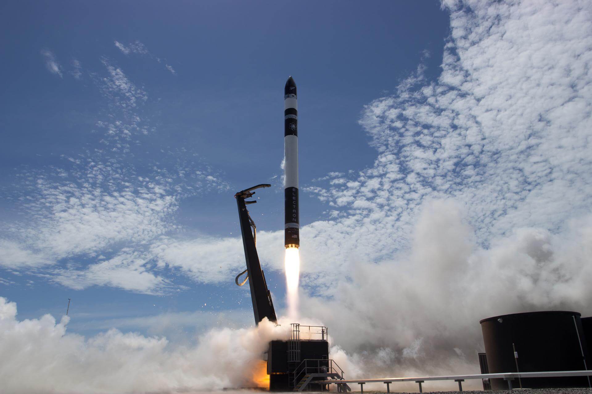
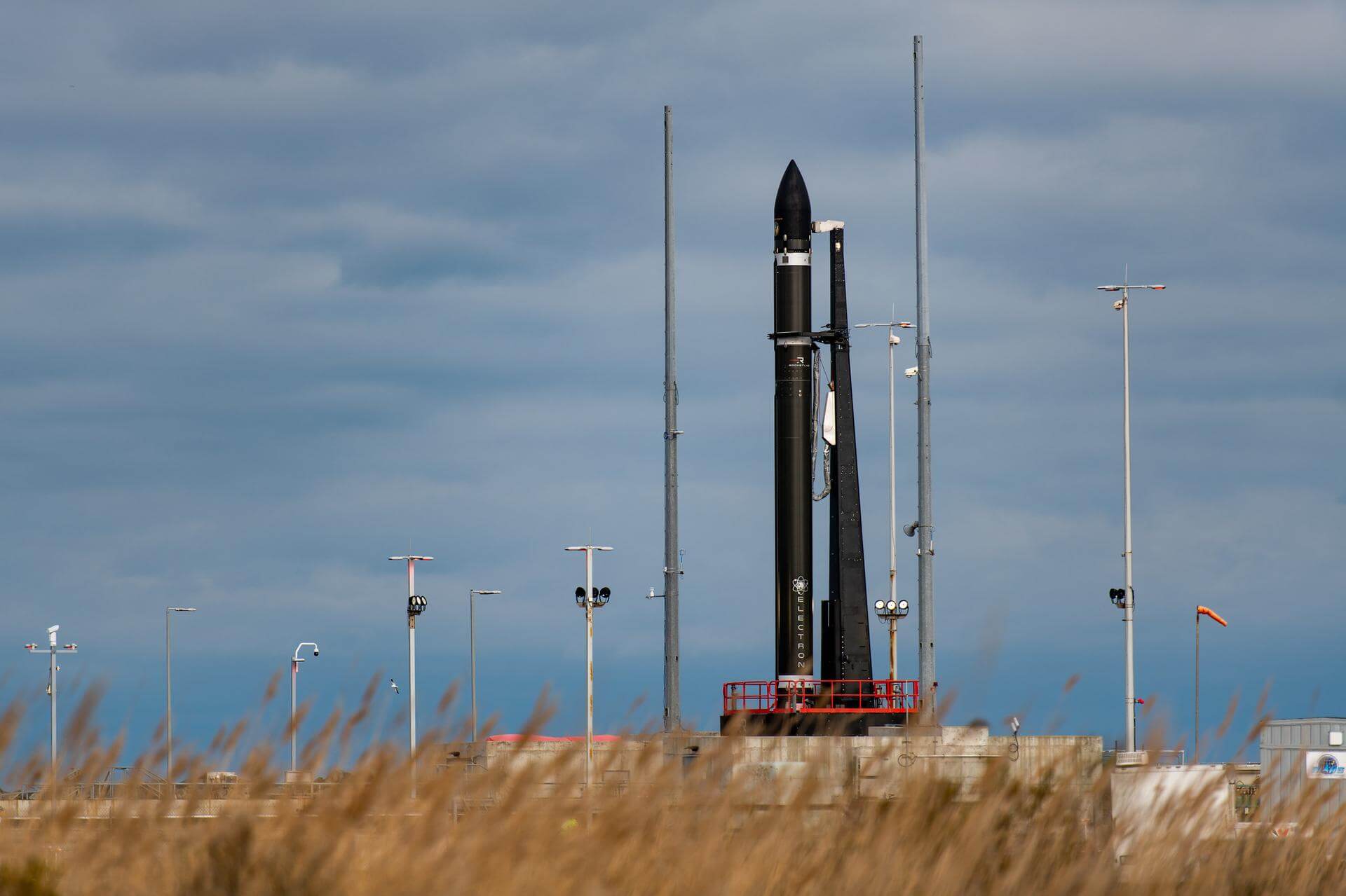
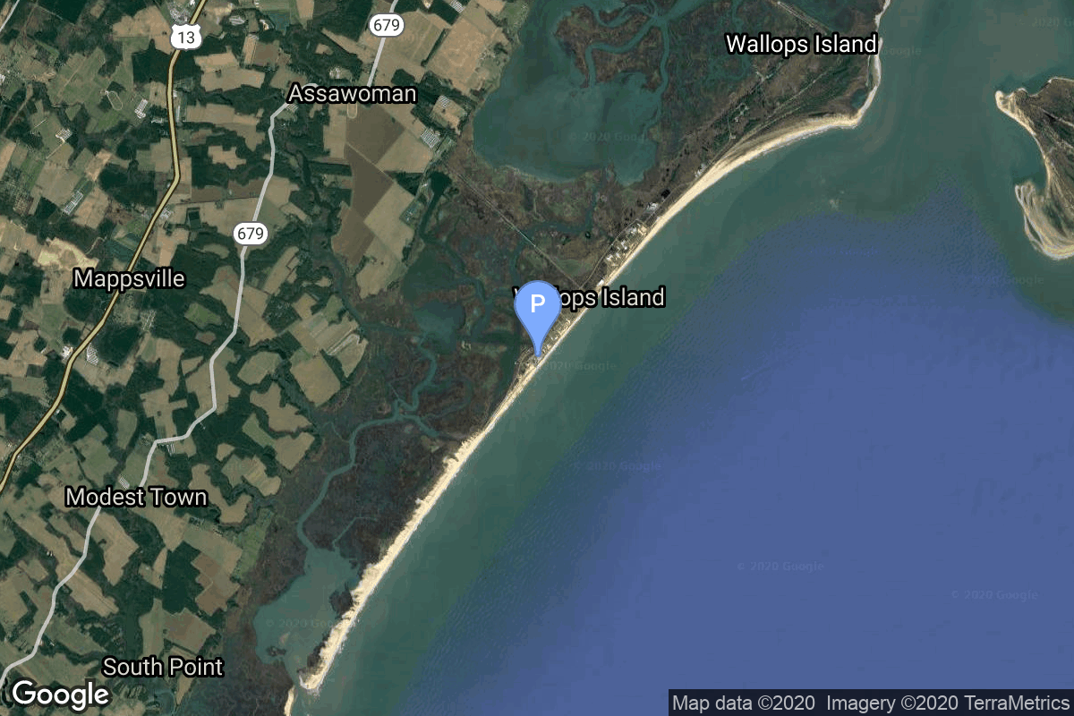
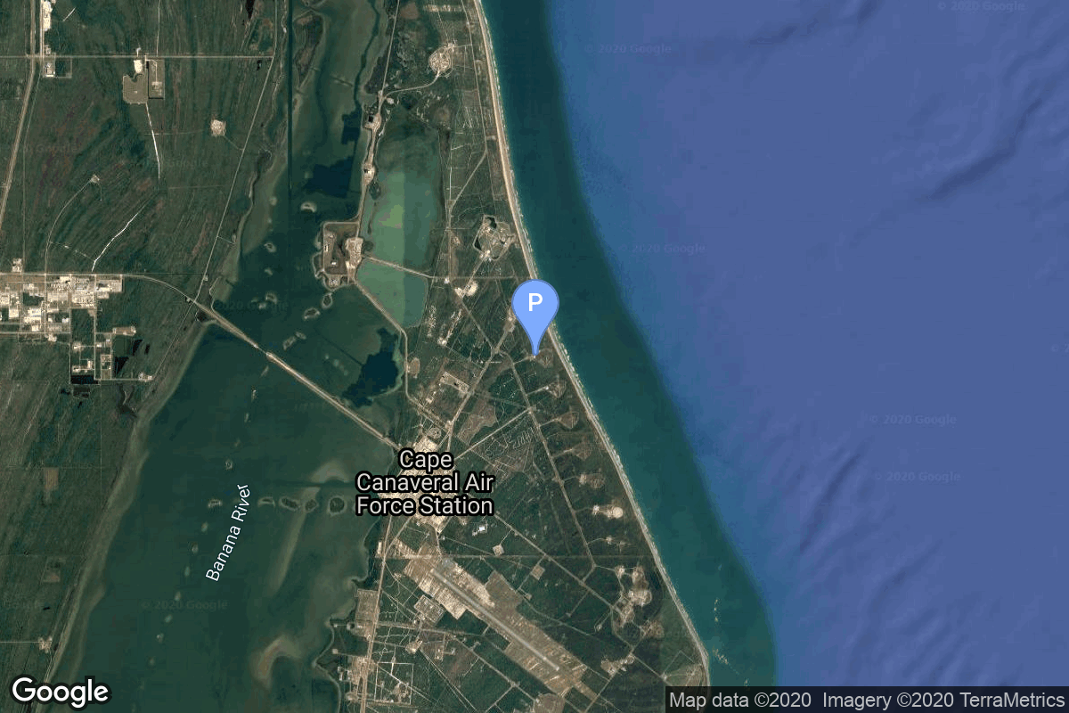
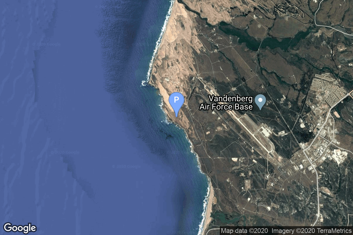
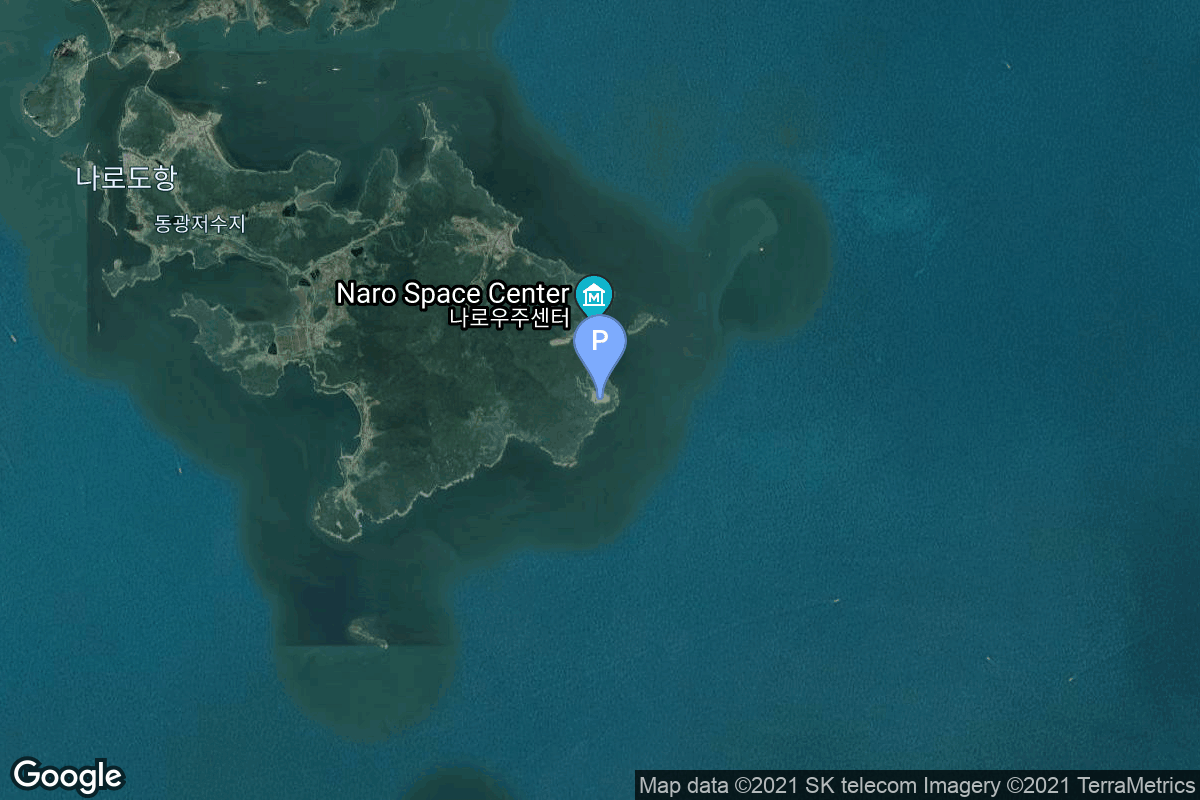
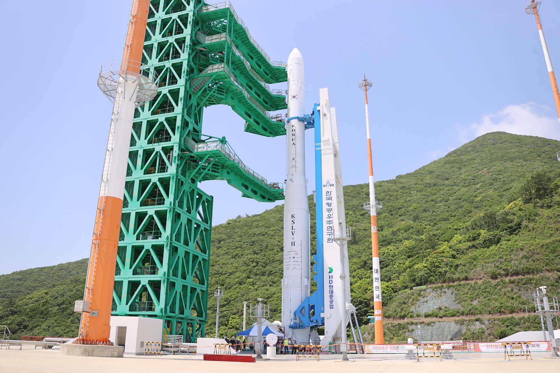
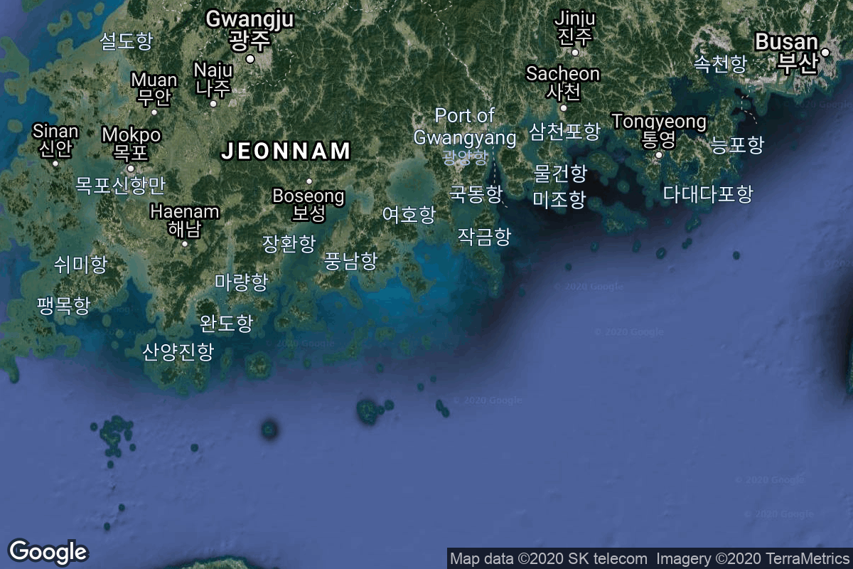
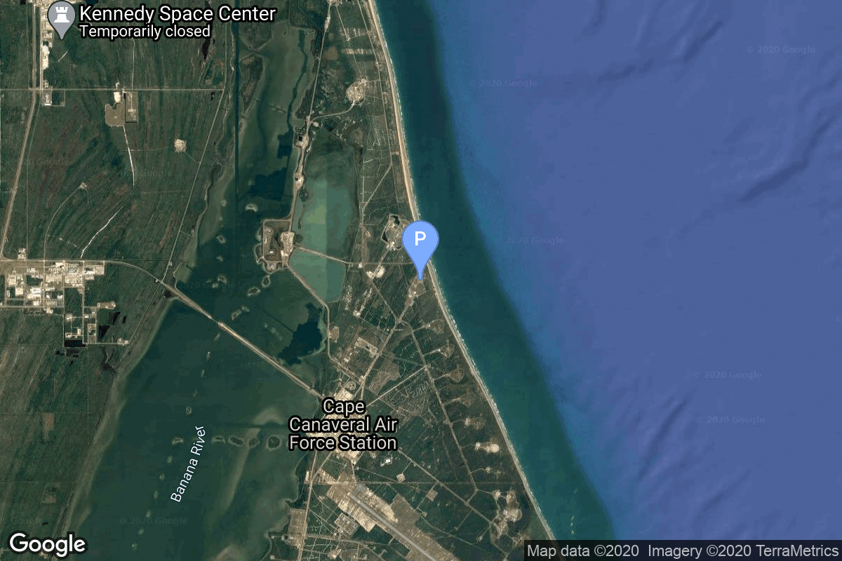
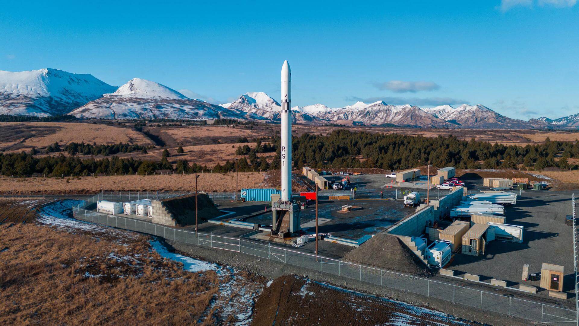
{ "count": 245, "next": "https://lldev.thespacedevs.com/2.3.0/pads/?format=api&limit=10&offset=130&ordering=-orbital_launch_attempt_count", "previous": "https://lldev.thespacedevs.com/2.3.0/pads/?format=api&limit=10&offset=110&ordering=-orbital_launch_attempt_count", "results": [ { "id": 79, "url": "https://lldev.thespacedevs.com/2.3.0/pads/79/?format=api", "active": true, "agencies": [ { "response_mode": "normal", "id": 147, "url": "https://lldev.thespacedevs.com/2.3.0/agencies/147/?format=api", "name": "Rocket Lab", "abbrev": "RL", "type": { "id": 3, "name": "Commercial" }, "featured": true, "country": [ { "id": 2, "name": "United States of America", "alpha_2_code": "US", "alpha_3_code": "USA", "nationality_name": "American", "nationality_name_composed": "Americano" } ], "description": "Rocket Lab is an American aerospace manufacturer with a wholly owned New Zealand subsidiary. The company develops lightweight, cost-effective commercial rocket launch services. The Electron Program was founded on the premise that small payloads such as CubeSats require dedicated small launch vehicles and flexibility not currently offered by traditional rocket systems. Its rocket, the Electron, is a light-weight rocket and is now operating commercially. The company is also producing a variety of spacecrafts and spacecrafts components.", "administrator": "CEO: Peter Beck", "founding_year": 2006, "launchers": "Electron", "spacecraft": "", "parent": null, "image": { "id": 24, "name": "[AUTO] Rocket Lab - image", "image_url": "https://thespacedevs-dev.nyc3.digitaloceanspaces.com/media/images/rocket2520lab2520ltd_image_20190207032456.jpeg", "thumbnail_url": "https://thespacedevs-dev.nyc3.digitaloceanspaces.com/media/images/255bauto255d__image_thumbnail_20240305184649.jpeg", "credit": null, "license": { "id": 1, "name": "Unknown", "priority": 9, "link": null }, "single_use": true, "variants": [] }, "logo": { "id": 176, "name": "[AUTO] Rocket Lab - logo", "image_url": "https://thespacedevs-dev.nyc3.digitaloceanspaces.com/media/images/rocket2520lab2520ltd_logo_20220218075411.png", "thumbnail_url": "https://thespacedevs-dev.nyc3.digitaloceanspaces.com/media/images/255bauto255d__image_thumbnail_20240305185115.png", "credit": null, "license": { "id": 1, "name": "Unknown", "priority": 9, "link": null }, "single_use": true, "variants": [] }, "social_logo": { "id": 88, "name": "[AUTO] Rocket Lab - social_logo", "image_url": "https://thespacedevs-dev.nyc3.digitaloceanspaces.com/media/images/rocket2520lab2520ltd_nation_20230531050352.jpg", "thumbnail_url": "https://thespacedevs-dev.nyc3.digitaloceanspaces.com/media/images/255bauto255d__image_thumbnail_20240305184840.jpeg", "credit": null, "license": { "id": 1, "name": "Unknown", "priority": 9, "link": null }, "single_use": true, "variants": [] } } ], "name": "Rocket Lab Launch Complex 2 (Launch Area 0 C)", "image": { "id": 1367, "name": "Electron on LC-2 (Stronger Together)", "image_url": "https://thespacedevs-dev.nyc3.digitaloceanspaces.com/media/images/electron25202_image_20230824185319.jpeg", "thumbnail_url": "https://thespacedevs-dev.nyc3.digitaloceanspaces.com/media/images/255bauto255d__image_thumbnail_20240305192535.jpeg", "credit": "Rocket Lab", "license": { "id": 7, "name": "Rocket Lab Image Use Policy", "priority": 3, "link": "https://www.rocketlabusa.com/about/gallery/" }, "single_use": false, "variants": [] }, "description": "", "info_url": null, "wiki_url": null, "map_url": "https://www.google.com/maps?q=37.833262,-75.488235", "latitude": 37.833262, "longitude": -75.488235, "country": { "id": 2, "name": "United States of America", "alpha_2_code": "US", "alpha_3_code": "USA", "nationality_name": "American", "nationality_name_composed": "Americano" }, "map_image": "https://thespacedevs-dev.nyc3.digitaloceanspaces.com/media/map_images/pad_79_20200803143607.jpg", "total_launch_count": 11, "orbital_launch_attempt_count": 4, "fastest_turnaround": "P8DT28M", "location": { "response_mode": "normal", "id": 21, "url": "https://lldev.thespacedevs.com/2.3.0/locations/21/?format=api", "name": "Wallops Flight Facility, Virginia, USA", "celestial_body": { "response_mode": "normal", "id": 1, "name": "Earth", "type": { "id": 1, "name": "Planet" }, "diameter": 12742000.0, "mass": 5.972168e+24, "gravity": 9.80655, "length_of_day": "1 00:00:00", "atmosphere": true, "image": { "id": 2040, "name": "Earth (Apollo 17)", "image_url": "https://thespacedevs-dev.nyc3.digitaloceanspaces.com/media/images/earth_2528apol_image_20240402194304.jpeg", "thumbnail_url": "https://thespacedevs-dev.nyc3.digitaloceanspaces.com/media/images/earth_2528apol_image_thumbnail_20240402194305.jpeg", "credit": "NASA", "license": { "id": 4, "name": "NASA Image and Media Guidelines", "priority": 0, "link": "https://www.nasa.gov/nasa-brand-center/images-and-media/" }, "single_use": true, "variants": [] }, "description": "Earth is the third planet from the Sun and the only astronomical object known to harbor life.", "wiki_url": "https://en.wikipedia.org/wiki/Earth", "total_attempted_launches": 7470, "successful_launches": 6915, "failed_launches": 555, "total_attempted_landings": 1288, "successful_landings": 1241, "failed_landings": 47 }, "active": true, "country": { "id": 2, "name": "United States of America", "alpha_2_code": "US", "alpha_3_code": "USA", "nationality_name": "American", "nationality_name_composed": "Americano" }, "description": "Wallops Flight Facility is a rocket launch site on Wallops Island on the Eastern Shore of Virginia, United States, just east of the Delmarva Peninsula and north-northeast of Norfolk. The facility is operated by the Goddard Space Flight Center in Greenbelt, Maryland, and primarily serves to support science and exploration missions for NASA and other federal agencies. WFF includes an extensively instrumented range to support launches of more than a dozen types of sounding rockets; small expendable suborbital and orbital rockets; high-altitude balloon flights carrying scientific instruments for atmospheric and astronomical research; and, using its Research Airport, flight tests of aeronautical research aircraft, including uncrewed aerial vehicles.", "image": { "id": 2227, "name": "Wallops Flight Facility", "image_url": "https://thespacedevs-dev.nyc3.digitaloceanspaces.com/media/images/wallops_flight__image_20240920083715.jpg", "thumbnail_url": "https://thespacedevs-dev.nyc3.digitaloceanspaces.com/media/images/wallops_flight__image_thumbnail_20240920083715.jpeg", "credit": "NASA", "license": { "id": 4, "name": "NASA Image and Media Guidelines", "priority": 0, "link": "https://www.nasa.gov/nasa-brand-center/images-and-media/" }, "single_use": true, "variants": [] }, "map_image": "https://thespacedevs-dev.nyc3.digitaloceanspaces.com/media/map_images/location_21_20200803142423.jpg", "longitude": -75.467778, "latitude": 37.933333, "timezone_name": "America/New_York", "total_launch_count": 85, "total_landing_count": 0 } }, { "id": 120, "url": "https://lldev.thespacedevs.com/2.3.0/pads/120/?format=api", "active": true, "agencies": [ { "response_mode": "normal", "id": 161, "url": "https://lldev.thespacedevs.com/2.3.0/agencies/161/?format=api", "name": "United States Air Force", "abbrev": "USAF", "type": { "id": 1, "name": "Government" }, "featured": false, "country": [ { "id": 2, "name": "United States of America", "alpha_2_code": "US", "alpha_3_code": "USA", "nationality_name": "American", "nationality_name_composed": "Americano" } ], "description": "The United States Air Force (USAF) is the air service branch of the United States Armed Forces, and is one of the eight uniformed services of the United States. Originally created on 1 August 1907, as a part of the United States Army Signal Corps, the USAF was established as a separate branch of the United States Armed Forces in 1947 with the enactment of the National Security Act of 1947.", "administrator": "Commander-in-Chief: President of the US", "founding_year": 1947, "launchers": "", "spacecraft": "", "parent": null, "image": null, "logo": { "id": 193, "name": "[AUTO] United States Air Force - logo", "image_url": "https://thespacedevs-dev.nyc3.digitaloceanspaces.com/media/images/united2520states2520air2520force_logo_20230804084626.png", "thumbnail_url": "https://thespacedevs-dev.nyc3.digitaloceanspaces.com/media/images/255bauto255d__image_thumbnail_20240305185152.png", "credit": null, "license": { "id": 1, "name": "Unknown", "priority": 9, "link": null }, "single_use": true, "variants": [] }, "social_logo": { "id": 99, "name": "[AUTO] United States Air Force - social_logo", "image_url": "https://thespacedevs-dev.nyc3.digitaloceanspaces.com/media/images/united2520states2520air2520force_nation_20230804085132.jpg", "thumbnail_url": "https://thespacedevs-dev.nyc3.digitaloceanspaces.com/media/images/255bauto255d__image_thumbnail_20240305184855.jpeg", "credit": null, "license": { "id": 1, "name": "Unknown", "priority": 9, "link": null }, "single_use": true, "variants": [] } } ], "name": "Space Launch Complex 20", "image": null, "description": null, "info_url": null, "wiki_url": "https://en.wikipedia.org/wiki/Cape_Canaveral_Space_Launch_Complex_20", "map_url": "https://www.google.com/maps?q=28.5122222,-80.5588607", "latitude": 28.5122222, "longitude": -80.5588607, "country": { "id": 2, "name": "United States of America", "alpha_2_code": "US", "alpha_3_code": "USA", "nationality_name": "American", "nationality_name_composed": "Americano" }, "map_image": "https://thespacedevs-dev.nyc3.digitaloceanspaces.com/media/map_images/pad_120_20200803143230.jpg", "total_launch_count": 4, "orbital_launch_attempt_count": 4, "fastest_turnaround": "P62DT22H25M32S", "location": { "response_mode": "normal", "id": 12, "url": "https://lldev.thespacedevs.com/2.3.0/locations/12/?format=api", "name": "Cape Canaveral SFS, FL, USA", "celestial_body": { "response_mode": "normal", "id": 1, "name": "Earth", "type": { "id": 1, "name": "Planet" }, "diameter": 12742000.0, "mass": 5.972168e+24, "gravity": 9.80655, "length_of_day": "1 00:00:00", "atmosphere": true, "image": { "id": 2040, "name": "Earth (Apollo 17)", "image_url": "https://thespacedevs-dev.nyc3.digitaloceanspaces.com/media/images/earth_2528apol_image_20240402194304.jpeg", "thumbnail_url": "https://thespacedevs-dev.nyc3.digitaloceanspaces.com/media/images/earth_2528apol_image_thumbnail_20240402194305.jpeg", "credit": "NASA", "license": { "id": 4, "name": "NASA Image and Media Guidelines", "priority": 0, "link": "https://www.nasa.gov/nasa-brand-center/images-and-media/" }, "single_use": true, "variants": [] }, "description": "Earth is the third planet from the Sun and the only astronomical object known to harbor life.", "wiki_url": "https://en.wikipedia.org/wiki/Earth", "total_attempted_launches": 7470, "successful_launches": 6915, "failed_launches": 555, "total_attempted_landings": 1288, "successful_landings": 1241, "failed_landings": 47 }, "active": true, "country": { "id": 2, "name": "United States of America", "alpha_2_code": "US", "alpha_3_code": "USA", "nationality_name": "American", "nationality_name_composed": "Americano" }, "description": "Cape Canaveral Space Force Station (CCSFS) is an installation of the United States Space Force's Space Launch Delta 45, located on Cape Canaveral in Brevard County, Florida.", "image": { "id": 2200, "name": "Cape Canaveral & KSC seen from orbit (STS-43)", "image_url": "https://thespacedevs-dev.nyc3.digitaloceanspaces.com/media/images/cape_canaveral__image_20240918151615.jpg", "thumbnail_url": "https://thespacedevs-dev.nyc3.digitaloceanspaces.com/media/images/cape_canaveral__image_thumbnail_20240918151616.jpeg", "credit": "NASA", "license": { "id": 4, "name": "NASA Image and Media Guidelines", "priority": 0, "link": "https://www.nasa.gov/nasa-brand-center/images-and-media/" }, "single_use": true, "variants": [] }, "map_image": "https://thespacedevs-dev.nyc3.digitaloceanspaces.com/media/map_images/location_12_20200803142519.jpg", "longitude": -80.577778, "latitude": 28.488889, "timezone_name": "America/New_York", "total_launch_count": 1100, "total_landing_count": 71 } }, { "id": 172, "url": "https://lldev.thespacedevs.com/2.3.0/pads/172/?format=api", "active": false, "agencies": [], "name": "576A2", "image": null, "description": "The very first Atlas D operational ICBM sites, these were above ground with open support towers. These missiles were on alert from 31 October 1959 until 1 May 1964. After going off alert in 1964, Alpha 1 and 2 were used by the USAF for Atlas satellite rocket launches until 1974", "info_url": null, "wiki_url": "https://en.wikipedia.org/wiki/Vandenberg_Air_Force_Base_Launch_Complex_576", "map_url": "https://www.google.com/maps?q=34.7394444,-120.6213607", "latitude": 34.7394444, "longitude": -120.6213607, "country": { "id": 2, "name": "United States of America", "alpha_2_code": "US", "alpha_3_code": "USA", "nationality_name": "American", "nationality_name_composed": "Americano" }, "map_image": "https://thespacedevs-dev.nyc3.digitaloceanspaces.com/media/map_images/pad_172_20200803143419.jpg", "total_launch_count": 4, "orbital_launch_attempt_count": 4, "fastest_turnaround": "P96DT9H30M18S", "location": { "response_mode": "normal", "id": 11, "url": "https://lldev.thespacedevs.com/2.3.0/locations/11/?format=api", "name": "Vandenberg SFB, CA, USA", "celestial_body": { "response_mode": "normal", "id": 1, "name": "Earth", "type": { "id": 1, "name": "Planet" }, "diameter": 12742000.0, "mass": 5.972168e+24, "gravity": 9.80655, "length_of_day": "1 00:00:00", "atmosphere": true, "image": { "id": 2040, "name": "Earth (Apollo 17)", "image_url": "https://thespacedevs-dev.nyc3.digitaloceanspaces.com/media/images/earth_2528apol_image_20240402194304.jpeg", "thumbnail_url": "https://thespacedevs-dev.nyc3.digitaloceanspaces.com/media/images/earth_2528apol_image_thumbnail_20240402194305.jpeg", "credit": "NASA", "license": { "id": 4, "name": "NASA Image and Media Guidelines", "priority": 0, "link": "https://www.nasa.gov/nasa-brand-center/images-and-media/" }, "single_use": true, "variants": [] }, "description": "Earth is the third planet from the Sun and the only astronomical object known to harbor life.", "wiki_url": "https://en.wikipedia.org/wiki/Earth", "total_attempted_launches": 7470, "successful_launches": 6915, "failed_launches": 555, "total_attempted_landings": 1288, "successful_landings": 1241, "failed_landings": 47 }, "active": true, "country": { "id": 2, "name": "United States of America", "alpha_2_code": "US", "alpha_3_code": "USA", "nationality_name": "American", "nationality_name_composed": "Americano" }, "description": "Vandenberg Space Force Base is a United States Space Force Base in Santa Barbara County, California. Established in 1941, Vandenberg Space Force Base is a space launch base, launching spacecraft from the Western Range, and also performs missile testing. The United States Space Force's Space Launch Delta 30 serves as the host delta for the base, equivalent to an Air Force air base wing. In addition to its military space launch mission, Vandenberg Space Force Base also hosts space launches for civil and commercial space entities, such as NASA and SpaceX.", "image": { "id": 2226, "name": "Vandenberg SFB imaged by Sentinel-2", "image_url": "https://thespacedevs-dev.nyc3.digitaloceanspaces.com/media/images/vandenberg_sfb__image_20240920082910.jpeg", "thumbnail_url": "https://thespacedevs-dev.nyc3.digitaloceanspaces.com/media/images/vandenberg_sfb__image_thumbnail_20240920082910.jpeg", "credit": "Contains modified Copernicus Sentinel data 2020", "license": { "id": 33, "name": "Copernicus Image Use Policy", "priority": 0, "link": "https://eur-lex.europa.eu/legal-content/EN/TXT/?uri=CELEX:32013R1159" }, "single_use": true, "variants": [] }, "map_image": "https://thespacedevs-dev.nyc3.digitaloceanspaces.com/media/map_images/location_11_20200803142416.jpg", "longitude": -120.52023, "latitude": 34.75133, "timezone_name": "America/Los_Angeles", "total_launch_count": 872, "total_landing_count": 33 } }, { "id": 192, "url": "https://lldev.thespacedevs.com/2.3.0/pads/192/?format=api", "active": true, "agencies": [ { "response_mode": "normal", "id": 41, "url": "https://lldev.thespacedevs.com/2.3.0/agencies/41/?format=api", "name": "Korea Aerospace Research Institute", "abbrev": "KARI", "type": { "id": 1, "name": "Government" }, "featured": false, "country": [ { "id": 35, "name": "South Korea", "alpha_2_code": "KR", "alpha_3_code": "KOR", "nationality_name": "South Korean", "nationality_name_composed": "South Korean" } ], "description": "The Korea Aerospace Research Institute (KARI) established in 1989, is the aeronautics and space agency of Republic of Korea. Its main laboratories are located in Daejeon, in the Daedeok Science Town.", "administrator": "Administrator: Lee Sang-Ryool", "founding_year": 1989, "launchers": "Nuri", "spacecraft": "", "parent": "Korea AeroSpace Administration", "image": null, "logo": { "id": 154, "name": "[AUTO] Korea Aerospace Research Institute - logo", "image_url": "https://thespacedevs-dev.nyc3.digitaloceanspaces.com/media/images/korea2520aerospace2520research2520institute_logo_20200806032236.png", "thumbnail_url": "https://thespacedevs-dev.nyc3.digitaloceanspaces.com/media/images/255bauto255d__image_thumbnail_20240305185029.png", "credit": null, "license": { "id": 1, "name": "Unknown", "priority": 9, "link": null }, "single_use": true, "variants": [] }, "social_logo": { "id": 72, "name": "[AUTO] Korea Aerospace Research Institute - social_logo", "image_url": "https://thespacedevs-dev.nyc3.digitaloceanspaces.com/media/images/korea2520aerospace2520research2520institute_nation_20230604194037.jpg", "thumbnail_url": "https://thespacedevs-dev.nyc3.digitaloceanspaces.com/media/images/255bauto255d__image_thumbnail_20240305184817.jpeg", "credit": null, "license": { "id": 1, "name": "Unknown", "priority": 9, "link": null }, "single_use": true, "variants": [] } } ], "name": "LC-2", "image": { "id": 1283, "name": "Nuri liftoff from LC-2 (NEXTSat-2 & SNIPE)", "image_url": "https://thespacedevs-dev.nyc3.digitaloceanspaces.com/media/images/nuri_liftoff_2_image_20240820080542.jpeg", "thumbnail_url": "https://thespacedevs-dev.nyc3.digitaloceanspaces.com/media/images/nuri_liftoff_2_image_thumbnail_20240820080542.jpeg", "credit": "KARI/VNA/CVN", "license": { "id": 1, "name": "Unknown", "priority": 9, "link": null }, "single_use": false, "variants": [] }, "description": "", "info_url": null, "wiki_url": "https://en.wikipedia.org/wiki/Naro_Space_Center", "map_url": "https://www.google.com/maps?q=34.431867,127.535069", "latitude": 34.431867, "longitude": 127.535069, "country": { "id": 35, "name": "South Korea", "alpha_2_code": "KR", "alpha_3_code": "KOR", "nationality_name": "South Korean", "nationality_name_composed": "South Korean" }, "map_image": "https://thespacedevs-dev.nyc3.digitaloceanspaces.com/media/map_images/pad_lc-2_20210812070305.jpg", "total_launch_count": 5, "orbital_launch_attempt_count": 4, "fastest_turnaround": "P242DT23H", "location": { "response_mode": "normal", "id": 9, "url": "https://lldev.thespacedevs.com/2.3.0/locations/9/?format=api", "name": "Naro Space Center, South Korea", "celestial_body": { "response_mode": "normal", "id": 1, "name": "Earth", "type": { "id": 1, "name": "Planet" }, "diameter": 12742000.0, "mass": 5.972168e+24, "gravity": 9.80655, "length_of_day": "1 00:00:00", "atmosphere": true, "image": { "id": 2040, "name": "Earth (Apollo 17)", "image_url": "https://thespacedevs-dev.nyc3.digitaloceanspaces.com/media/images/earth_2528apol_image_20240402194304.jpeg", "thumbnail_url": "https://thespacedevs-dev.nyc3.digitaloceanspaces.com/media/images/earth_2528apol_image_thumbnail_20240402194305.jpeg", "credit": "NASA", "license": { "id": 4, "name": "NASA Image and Media Guidelines", "priority": 0, "link": "https://www.nasa.gov/nasa-brand-center/images-and-media/" }, "single_use": true, "variants": [] }, "description": "Earth is the third planet from the Sun and the only astronomical object known to harbor life.", "wiki_url": "https://en.wikipedia.org/wiki/Earth", "total_attempted_launches": 7470, "successful_launches": 6915, "failed_launches": 555, "total_attempted_landings": 1288, "successful_landings": 1241, "failed_landings": 47 }, "active": true, "country": { "id": 35, "name": "South Korea", "alpha_2_code": "KR", "alpha_3_code": "KOR", "nationality_name": "South Korean", "nationality_name_composed": "South Korean" }, "description": "The Naro Space Center is a South Korean spaceport in South Jeolla's Goheung County, operated by the state-run Korea Aerospace Research Institute.", "image": { "id": 1797, "name": "Nuri on the launch pad", "image_url": "https://thespacedevs-dev.nyc3.digitaloceanspaces.com/media/images/nuri_on_the_lau_image_20240307163812.jpeg", "thumbnail_url": "https://thespacedevs-dev.nyc3.digitaloceanspaces.com/media/images/nuri_on_the_lau_image_thumbnail_20240307163813.jpeg", "credit": "Korea Aerospace Research Institute", "license": { "id": 15, "name": "Korea Open Government License Type I: Attribution", "priority": 6, "link": "https://www.kogl.or.kr/edu/eduDataFileDown.do?dataIdx=97&dataFileIdx=1" }, "single_use": true, "variants": [] }, "map_image": "https://thespacedevs-dev.nyc3.digitaloceanspaces.com/media/map_images/location_9_20200803142441.jpg", "longitude": 127.535, "latitude": 34.431944, "timezone_name": "Asia/Seoul", "total_launch_count": 8, "total_landing_count": 0 } }, { "id": 19, "url": "https://lldev.thespacedevs.com/2.3.0/pads/19/?format=api", "active": true, "agencies": [], "name": "Launch Complex 34", "image": null, "description": null, "info_url": null, "wiki_url": "https://en.wikipedia.org/wiki/Cape_Canaveral_Air_Force_Station_Launch_Complex_34", "map_url": "https://www.google.com/maps?q=28.521811,-80.56113", "latitude": 28.521811, "longitude": -80.56113, "country": { "id": 2, "name": "United States of America", "alpha_2_code": "US", "alpha_3_code": "USA", "nationality_name": "American", "nationality_name_composed": "Americano" }, "map_image": "https://thespacedevs-dev.nyc3.digitaloceanspaces.com/media/map_images/pad_19_20200803143428.jpg", "total_launch_count": 9, "orbital_launch_attempt_count": 3, "fastest_turnaround": "P132DT2H26M53S", "location": { "response_mode": "normal", "id": 12, "url": "https://lldev.thespacedevs.com/2.3.0/locations/12/?format=api", "name": "Cape Canaveral SFS, FL, USA", "celestial_body": { "response_mode": "normal", "id": 1, "name": "Earth", "type": { "id": 1, "name": "Planet" }, "diameter": 12742000.0, "mass": 5.972168e+24, "gravity": 9.80655, "length_of_day": "1 00:00:00", "atmosphere": true, "image": { "id": 2040, "name": "Earth (Apollo 17)", "image_url": "https://thespacedevs-dev.nyc3.digitaloceanspaces.com/media/images/earth_2528apol_image_20240402194304.jpeg", "thumbnail_url": "https://thespacedevs-dev.nyc3.digitaloceanspaces.com/media/images/earth_2528apol_image_thumbnail_20240402194305.jpeg", "credit": "NASA", "license": { "id": 4, "name": "NASA Image and Media Guidelines", "priority": 0, "link": "https://www.nasa.gov/nasa-brand-center/images-and-media/" }, "single_use": true, "variants": [] }, "description": "Earth is the third planet from the Sun and the only astronomical object known to harbor life.", "wiki_url": "https://en.wikipedia.org/wiki/Earth", "total_attempted_launches": 7470, "successful_launches": 6915, "failed_launches": 555, "total_attempted_landings": 1288, "successful_landings": 1241, "failed_landings": 47 }, "active": true, "country": { "id": 2, "name": "United States of America", "alpha_2_code": "US", "alpha_3_code": "USA", "nationality_name": "American", "nationality_name_composed": "Americano" }, "description": "Cape Canaveral Space Force Station (CCSFS) is an installation of the United States Space Force's Space Launch Delta 45, located on Cape Canaveral in Brevard County, Florida.", "image": { "id": 2200, "name": "Cape Canaveral & KSC seen from orbit (STS-43)", "image_url": "https://thespacedevs-dev.nyc3.digitaloceanspaces.com/media/images/cape_canaveral__image_20240918151615.jpg", "thumbnail_url": "https://thespacedevs-dev.nyc3.digitaloceanspaces.com/media/images/cape_canaveral__image_thumbnail_20240918151616.jpeg", "credit": "NASA", "license": { "id": 4, "name": "NASA Image and Media Guidelines", "priority": 0, "link": "https://www.nasa.gov/nasa-brand-center/images-and-media/" }, "single_use": true, "variants": [] }, "map_image": "https://thespacedevs-dev.nyc3.digitaloceanspaces.com/media/map_images/location_12_20200803142519.jpg", "longitude": -80.577778, "latitude": 28.488889, "timezone_name": "America/New_York", "total_launch_count": 1100, "total_landing_count": 71 } }, { "id": 57, "url": "https://lldev.thespacedevs.com/2.3.0/pads/57/?format=api", "active": true, "agencies": [], "name": "Launch Pad 1", "image": null, "description": null, "info_url": null, "wiki_url": "https://en.wikipedia.org/wiki/Pacific_Spaceport_Complex_%E2%80%93_Alaska", "map_url": "https://www.google.com/maps?q=57.435833,-152.337778", "latitude": 57.435833, "longitude": -152.337778, "country": { "id": 2, "name": "United States of America", "alpha_2_code": "US", "alpha_3_code": "USA", "nationality_name": "American", "nationality_name_composed": "Americano" }, "map_image": "https://thespacedevs-dev.nyc3.digitaloceanspaces.com/media/map_images/pad_57_20200803143509.jpg", "total_launch_count": 3, "orbital_launch_attempt_count": 3, "fastest_turnaround": "P311DT14H24M", "location": { "response_mode": "normal", "id": 25, "url": "https://lldev.thespacedevs.com/2.3.0/locations/25/?format=api", "name": "Pacific Spaceport Complex, Alaska, USA", "celestial_body": { "response_mode": "normal", "id": 1, "name": "Earth", "type": { "id": 1, "name": "Planet" }, "diameter": 12742000.0, "mass": 5.972168e+24, "gravity": 9.80655, "length_of_day": "1 00:00:00", "atmosphere": true, "image": { "id": 2040, "name": "Earth (Apollo 17)", "image_url": "https://thespacedevs-dev.nyc3.digitaloceanspaces.com/media/images/earth_2528apol_image_20240402194304.jpeg", "thumbnail_url": "https://thespacedevs-dev.nyc3.digitaloceanspaces.com/media/images/earth_2528apol_image_thumbnail_20240402194305.jpeg", "credit": "NASA", "license": { "id": 4, "name": "NASA Image and Media Guidelines", "priority": 0, "link": "https://www.nasa.gov/nasa-brand-center/images-and-media/" }, "single_use": true, "variants": [] }, "description": "Earth is the third planet from the Sun and the only astronomical object known to harbor life.", "wiki_url": "https://en.wikipedia.org/wiki/Earth", "total_attempted_launches": 7470, "successful_launches": 6915, "failed_launches": 555, "total_attempted_landings": 1288, "successful_landings": 1241, "failed_landings": 47 }, "active": true, "country": { "id": 2, "name": "United States of America", "alpha_2_code": "US", "alpha_3_code": "USA", "nationality_name": "American", "nationality_name_composed": "Americano" }, "description": "The Pacific Spaceport Complex – Alaska (PSCA), formerly known as the Kodiak Launch Complex (KLC), is a dual-use commercial and military spaceport for sub-orbital and orbital launch vehicles. The facility is owned and operated by the Alaska Aerospace Corporation, a corporation owned by the Government of Alaska, and is located on Kodiak Island in Alaska.", "image": { "id": 1817, "name": "RS1 on the pad (Flight 2)", "image_url": "https://thespacedevs-dev.nyc3.digitaloceanspaces.com/media/images/rs1_on_the_pad__image_20240325094914.jpeg", "thumbnail_url": "https://thespacedevs-dev.nyc3.digitaloceanspaces.com/media/images/rs1_on_the_pad__image_thumbnail_20240325094914.jpeg", "credit": "ABL Space Systems", "license": { "id": 1, "name": "Unknown", "priority": 9, "link": null }, "single_use": true, "variants": [] }, "map_image": "https://thespacedevs-dev.nyc3.digitaloceanspaces.com/media/map_images/location_25_20200803142500.jpg", "longitude": -152.34, "latitude": 57.435278, "timezone_name": "America/Anchorage", "total_launch_count": 9, "total_landing_count": 0 } }, { "id": 136, "url": "https://lldev.thespacedevs.com/2.3.0/pads/136/?format=api", "active": true, "agencies": [], "name": "107", "image": null, "description": null, "info_url": null, "wiki_url": "https://en.wikipedia.org/wiki/Kapustin_Yar", "map_url": "https://www.google.com/maps?q=48.540716,46.296826", "latitude": 48.540716, "longitude": 46.296826, "country": { "id": 5, "name": "Russia", "alpha_2_code": "RU", "alpha_3_code": "RUS", "nationality_name": "Russian", "nationality_name_composed": "Russo" }, "map_image": "https://thespacedevs-dev.nyc3.digitaloceanspaces.com/media/map_images/pad_136_20200803143342.jpg", "total_launch_count": 3, "orbital_launch_attempt_count": 3, "fastest_turnaround": "P3339DT10H6M46S", "location": { "response_mode": "normal", "id": 30, "url": "https://lldev.thespacedevs.com/2.3.0/locations/30/?format=api", "name": "Kapustin Yar, Russian Federation", "celestial_body": { "response_mode": "normal", "id": 1, "name": "Earth", "type": { "id": 1, "name": "Planet" }, "diameter": 12742000.0, "mass": 5.972168e+24, "gravity": 9.80655, "length_of_day": "1 00:00:00", "atmosphere": true, "image": { "id": 2040, "name": "Earth (Apollo 17)", "image_url": "https://thespacedevs-dev.nyc3.digitaloceanspaces.com/media/images/earth_2528apol_image_20240402194304.jpeg", "thumbnail_url": "https://thespacedevs-dev.nyc3.digitaloceanspaces.com/media/images/earth_2528apol_image_thumbnail_20240402194305.jpeg", "credit": "NASA", "license": { "id": 4, "name": "NASA Image and Media Guidelines", "priority": 0, "link": "https://www.nasa.gov/nasa-brand-center/images-and-media/" }, "single_use": true, "variants": [] }, "description": "Earth is the third planet from the Sun and the only astronomical object known to harbor life.", "wiki_url": "https://en.wikipedia.org/wiki/Earth", "total_attempted_launches": 7470, "successful_launches": 6915, "failed_launches": 555, "total_attempted_landings": 1288, "successful_landings": 1241, "failed_landings": 47 }, "active": true, "country": { "id": 5, "name": "Russia", "alpha_2_code": "RU", "alpha_3_code": "RUS", "nationality_name": "Russian", "nationality_name_composed": "Russo" }, "description": "Kapustin Yar is a Russian military training area and a rocket launch complex in Astrakhan Oblast, about 100 km east of Volgograd. It was established by the Soviet Union on 13 May 1946. In the beginning, Kapustin Yar used technology, material, and scientific support gained from the defeat of Germany in World War II. Numerous launches of test rockets for the Russian military were carried out at the site, as well as satellite and sounding rocket launches.", "image": { "id": 2204, "name": "R-2A and R-5A geophysical rockets on the pad", "image_url": "https://thespacedevs-dev.nyc3.digitaloceanspaces.com/media/images/r-2a_and_r-5a_g_image_20240918155857.jpg", "thumbnail_url": "https://thespacedevs-dev.nyc3.digitaloceanspaces.com/media/images/r-2a_and_r-5a_g_image_thumbnail_20240918155857.jpeg", "credit": "Mil.ru", "license": { "id": 30, "name": "CC BY 4.0", "priority": 4, "link": "https://creativecommons.org/licenses/by/4.0/" }, "single_use": true, "variants": [] }, "map_image": "https://thespacedevs-dev.nyc3.digitaloceanspaces.com/media/map_images/location_30_20200803142515.jpg", "longitude": 45.72, "latitude": 48.59, "timezone_name": "Europe/Volgograd", "total_launch_count": 101, "total_landing_count": 0 } }, { "id": 142, "url": "https://lldev.thespacedevs.com/2.3.0/pads/142/?format=api", "active": true, "agencies": [], "name": "Kaituozhe Launch Pad", "image": null, "description": null, "info_url": null, "wiki_url": "https://en.wikipedia.org/wiki/Taiyuan_Satellite_Launch_Center", "map_url": "https://www.google.com/maps?q=38.835756,111.606406", "latitude": 38.835756, "longitude": 111.606406, "country": { "id": 6, "name": "China", "alpha_2_code": "CN", "alpha_3_code": "CHN", "nationality_name": "Chinese", "nationality_name_composed": "Sino" }, "map_image": "https://thespacedevs-dev.nyc3.digitaloceanspaces.com/media/map_images/pad_142_20200803143244.jpg", "total_launch_count": 3, "orbital_launch_attempt_count": 3, "fastest_turnaround": "P366D", "location": { "response_mode": "normal", "id": 19, "url": "https://lldev.thespacedevs.com/2.3.0/locations/19/?format=api", "name": "Taiyuan Satellite Launch Center, People's Republic of China", "celestial_body": { "response_mode": "normal", "id": 1, "name": "Earth", "type": { "id": 1, "name": "Planet" }, "diameter": 12742000.0, "mass": 5.972168e+24, "gravity": 9.80655, "length_of_day": "1 00:00:00", "atmosphere": true, "image": { "id": 2040, "name": "Earth (Apollo 17)", "image_url": "https://thespacedevs-dev.nyc3.digitaloceanspaces.com/media/images/earth_2528apol_image_20240402194304.jpeg", "thumbnail_url": "https://thespacedevs-dev.nyc3.digitaloceanspaces.com/media/images/earth_2528apol_image_thumbnail_20240402194305.jpeg", "credit": "NASA", "license": { "id": 4, "name": "NASA Image and Media Guidelines", "priority": 0, "link": "https://www.nasa.gov/nasa-brand-center/images-and-media/" }, "single_use": true, "variants": [] }, "description": "Earth is the third planet from the Sun and the only astronomical object known to harbor life.", "wiki_url": "https://en.wikipedia.org/wiki/Earth", "total_attempted_launches": 7470, "successful_launches": 6915, "failed_launches": 555, "total_attempted_landings": 1288, "successful_landings": 1241, "failed_landings": 47 }, "active": true, "country": { "id": 6, "name": "China", "alpha_2_code": "CN", "alpha_3_code": "CHN", "nationality_name": "Chinese", "nationality_name_composed": "Sino" }, "description": "The Taiyuan Satellite Launch Center is a People's Republic of China space and defense launch facility. It is situated in Kelan County, Xinzhou, Shanxi Province and is the second of four launch sites having been founded in March 1966 and coming into full operation in 1968.", "image": { "id": 1369, "name": "[AUTO] Long March 2D | 6 x Jilin-1, Qilu-2/3 & others - image", "image_url": "https://thespacedevs-dev.nyc3.digitaloceanspaces.com/media/images/long2520march_image_20230907134308.jpeg", "thumbnail_url": "https://thespacedevs-dev.nyc3.digitaloceanspaces.com/media/images/255bauto255d__image_thumbnail_20240305192538.jpeg", "credit": null, "license": { "id": 1, "name": "Unknown", "priority": 9, "link": null }, "single_use": true, "variants": [] }, "map_image": "https://thespacedevs-dev.nyc3.digitaloceanspaces.com/media/map_images/location_19_20200803142421.jpg", "longitude": 111.608, "latitude": 38.8491, "timezone_name": "Asia/Shanghai", "total_launch_count": 152, "total_landing_count": 0 } }, { "id": 5, "url": "https://lldev.thespacedevs.com/2.3.0/pads/5/?format=api", "active": true, "agencies": [], "name": "175/59", "image": null, "description": null, "info_url": null, "wiki_url": "", "map_url": "https://www.google.com/maps?q=46.052,62.986", "latitude": 46.052, "longitude": 62.986, "country": { "id": 44, "name": "Kazakhstan", "alpha_2_code": "KZ", "alpha_3_code": "KAZ", "nationality_name": "Kazakh", "nationality_name_composed": "Kazakhstani" }, "map_image": "https://thespacedevs-dev.nyc3.digitaloceanspaces.com/media/map_images/pad_5_20200803143217.jpg", "total_launch_count": 3, "orbital_launch_attempt_count": 3, "fastest_turnaround": "P539DT11H50M33S", "location": { "response_mode": "normal", "id": 15, "url": "https://lldev.thespacedevs.com/2.3.0/locations/15/?format=api", "name": "Baikonur Cosmodrome, Republic of Kazakhstan", "celestial_body": { "response_mode": "normal", "id": 1, "name": "Earth", "type": { "id": 1, "name": "Planet" }, "diameter": 12742000.0, "mass": 5.972168e+24, "gravity": 9.80655, "length_of_day": "1 00:00:00", "atmosphere": true, "image": { "id": 2040, "name": "Earth (Apollo 17)", "image_url": "https://thespacedevs-dev.nyc3.digitaloceanspaces.com/media/images/earth_2528apol_image_20240402194304.jpeg", "thumbnail_url": "https://thespacedevs-dev.nyc3.digitaloceanspaces.com/media/images/earth_2528apol_image_thumbnail_20240402194305.jpeg", "credit": "NASA", "license": { "id": 4, "name": "NASA Image and Media Guidelines", "priority": 0, "link": "https://www.nasa.gov/nasa-brand-center/images-and-media/" }, "single_use": true, "variants": [] }, "description": "Earth is the third planet from the Sun and the only astronomical object known to harbor life.", "wiki_url": "https://en.wikipedia.org/wiki/Earth", "total_attempted_launches": 7470, "successful_launches": 6915, "failed_launches": 555, "total_attempted_landings": 1288, "successful_landings": 1241, "failed_landings": 47 }, "active": true, "country": { "id": 44, "name": "Kazakhstan", "alpha_2_code": "KZ", "alpha_3_code": "KAZ", "nationality_name": "Kazakh", "nationality_name_composed": "Kazakhstani" }, "description": "The Baikonur Cosmodrome is a spaceport operated by Russia within Kazakhstan. Located in the Kazakh city of Baikonur, it is the largest operational space launch facility in terms of area. All Russian crewed spaceflights are launched from Baikonur.", "image": { "id": 2198, "name": "Soyuz launch pad at the Baikonur Cosmodrome", "image_url": "https://thespacedevs-dev.nyc3.digitaloceanspaces.com/media/images/soyuz_launch_pa_image_20240918150530.jpg", "thumbnail_url": "https://thespacedevs-dev.nyc3.digitaloceanspaces.com/media/images/soyuz_launch_pa_image_thumbnail_20240918150530.jpeg", "credit": "NASA/Bill Ingalls", "license": { "id": 4, "name": "NASA Image and Media Guidelines", "priority": 0, "link": "https://www.nasa.gov/nasa-brand-center/images-and-media/" }, "single_use": true, "variants": [] }, "map_image": "https://thespacedevs-dev.nyc3.digitaloceanspaces.com/media/map_images/location_15_20200803142517.jpg", "longitude": 63.305, "latitude": 45.965, "timezone_name": "Asia/Qyzylorda", "total_launch_count": 1561, "total_landing_count": 0 } }, { "id": 74, "url": "https://lldev.thespacedevs.com/2.3.0/pads/74/?format=api", "active": true, "agencies": [ { "response_mode": "normal", "id": 40, "url": "https://lldev.thespacedevs.com/2.3.0/agencies/40/?format=api", "name": "Korean Committee of Space Technology", "abbrev": "KCST", "type": { "id": 1, "name": "Government" }, "featured": false, "country": [ { "id": 53, "name": "North Korea", "alpha_2_code": "KP", "alpha_3_code": "PRK", "nationality_name": "North Korean", "nationality_name_composed": "North Korean" } ], "description": "The Korean Committee of Space Technology was the agency of the government of the Democratic People's Republic of Korea (North Korea) responsible for the country's space program. The agency was terminated and succeeded by the National Aerospace Development Administration in 2013 after the Law on Space Development was passed in the 7th session of the 12th Supreme People's Assembly.", "administrator": null, "founding_year": null, "launchers": "Paektusan | Unha", "spacecraft": "", "parent": null, "image": null, "logo": null, "social_logo": null } ], "name": "Unha Launch Pad", "image": null, "description": null, "info_url": null, "wiki_url": "https://en.wikipedia.org/wiki/Sohae_Satellite_Launching_Station", "map_url": "https://www.google.com/maps?q=39.660065,124.705366", "latitude": 39.660065, "longitude": 124.705366, "country": { "id": 53, "name": "North Korea", "alpha_2_code": "KP", "alpha_3_code": "PRK", "nationality_name": "North Korean", "nationality_name_composed": "North Korean" }, "map_image": "https://thespacedevs-dev.nyc3.digitaloceanspaces.com/media/map_images/pad_74_20200803143358.jpg", "total_launch_count": 3, "orbital_launch_attempt_count": 3, "fastest_turnaround": "P243DT2H10M51S", "location": { "response_mode": "normal", "id": 7, "url": "https://lldev.thespacedevs.com/2.3.0/locations/7/?format=api", "name": "Sohae Satellite Launching Station, Cholsan County, North Pyongan Province, Democratic People's Republic of Korea", "celestial_body": { "response_mode": "normal", "id": 1, "name": "Earth", "type": { "id": 1, "name": "Planet" }, "diameter": 12742000.0, "mass": 5.972168e+24, "gravity": 9.80655, "length_of_day": "1 00:00:00", "atmosphere": true, "image": { "id": 2040, "name": "Earth (Apollo 17)", "image_url": "https://thespacedevs-dev.nyc3.digitaloceanspaces.com/media/images/earth_2528apol_image_20240402194304.jpeg", "thumbnail_url": "https://thespacedevs-dev.nyc3.digitaloceanspaces.com/media/images/earth_2528apol_image_thumbnail_20240402194305.jpeg", "credit": "NASA", "license": { "id": 4, "name": "NASA Image and Media Guidelines", "priority": 0, "link": "https://www.nasa.gov/nasa-brand-center/images-and-media/" }, "single_use": true, "variants": [] }, "description": "Earth is the third planet from the Sun and the only astronomical object known to harbor life.", "wiki_url": "https://en.wikipedia.org/wiki/Earth", "total_attempted_launches": 7470, "successful_launches": 6915, "failed_launches": 555, "total_attempted_landings": 1288, "successful_landings": 1241, "failed_landings": 47 }, "active": true, "country": { "id": 53, "name": "North Korea", "alpha_2_code": "KP", "alpha_3_code": "PRK", "nationality_name": "North Korean", "nationality_name_composed": "North Korean" }, "description": "Sohae Satellite Launching Station is a rocket launching site in Tongch'ang-ri, Cholsan County, North Pyongan Province, North Korea. The base is located among hills close to the northern border with China. The spaceport was built on the site of the village Pongdong-ri which was displaced during construction.", "image": { "id": 2216, "name": "Chollima-1 liftoff (Malligyong-1c)", "image_url": "https://thespacedevs-dev.nyc3.digitaloceanspaces.com/media/images/chollima-1_lift_image_20240919165247.jpeg", "thumbnail_url": "https://thespacedevs-dev.nyc3.digitaloceanspaces.com/media/images/chollima-1_lift_image_thumbnail_20240919165248.jpeg", "credit": "KCNA", "license": { "id": 1, "name": "Unknown", "priority": 9, "link": null }, "single_use": false, "variants": [] }, "map_image": "https://thespacedevs-dev.nyc3.digitaloceanspaces.com/media/map_images/location_7_20200803142414.jpg", "longitude": 124.705, "latitude": 39.66, "timezone_name": "Asia/Pyongyang", "total_launch_count": 7, "total_landing_count": 0 } } ] }