Landing Location List
Number of results
Use limit to control the number of objects in the response (max 100)
Example - /config/landing_locations/?limit=2
Format
Switch to JSON output - /config/landing_locations/?format=json
Help
Find all the FAQs and support links on the documentation homepage - lldev.thespacedevs.com/docs
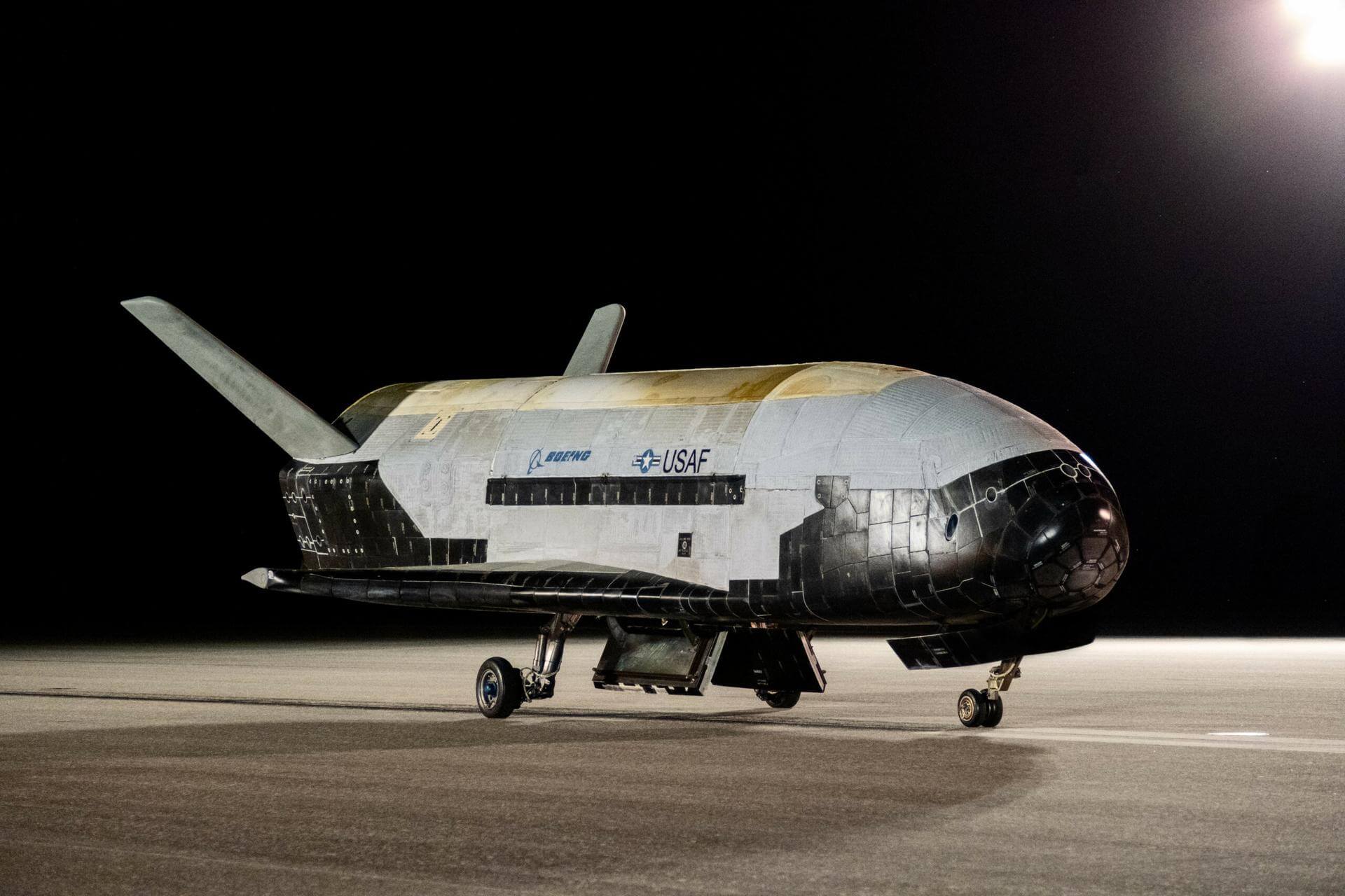
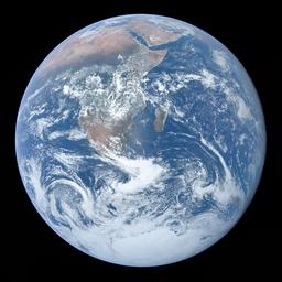
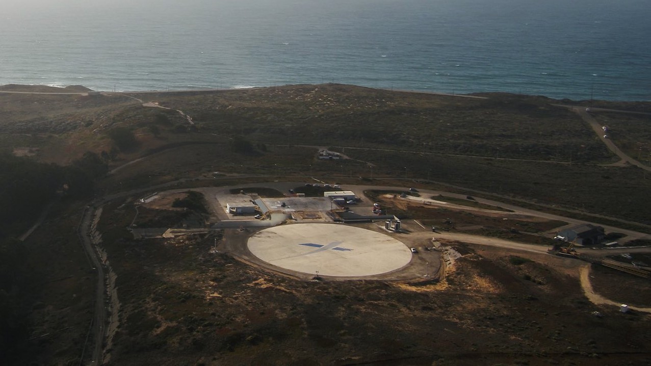
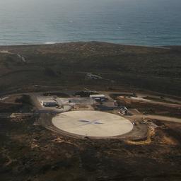
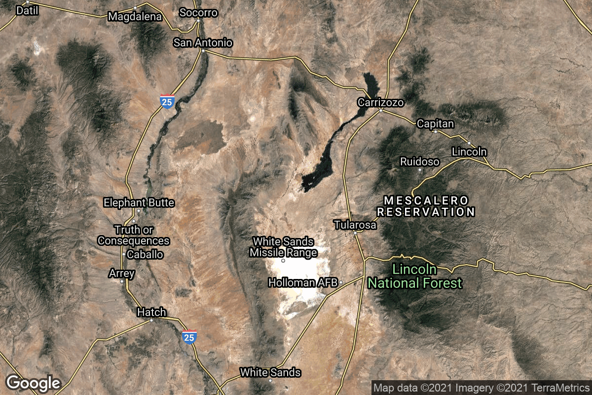
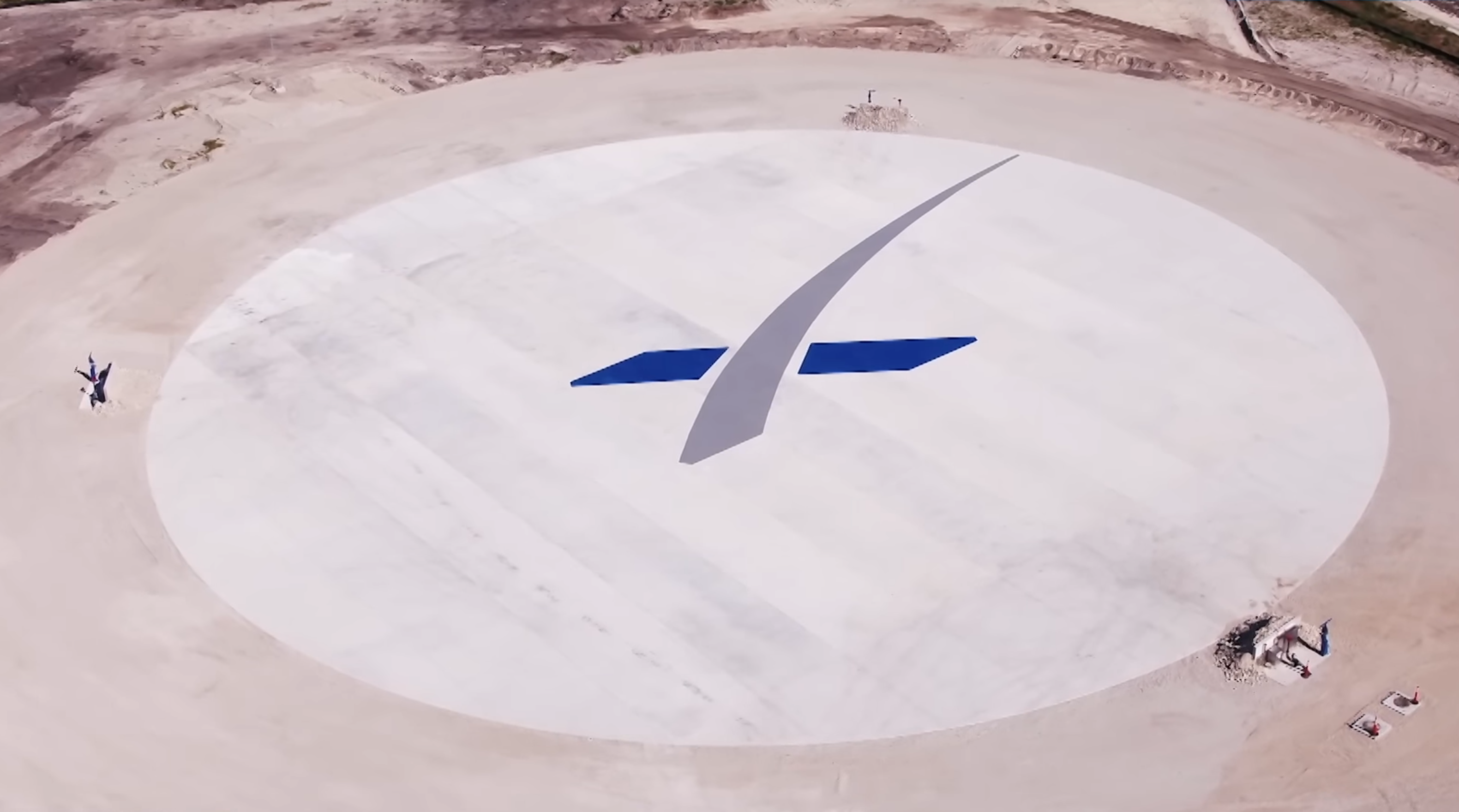
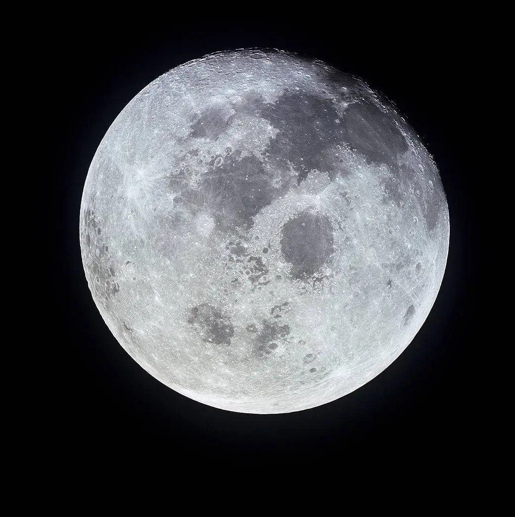
GET /2.3.0/config/landing_locations/?format=api&ordering=failed_landings
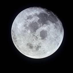
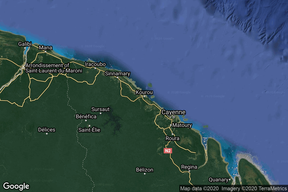
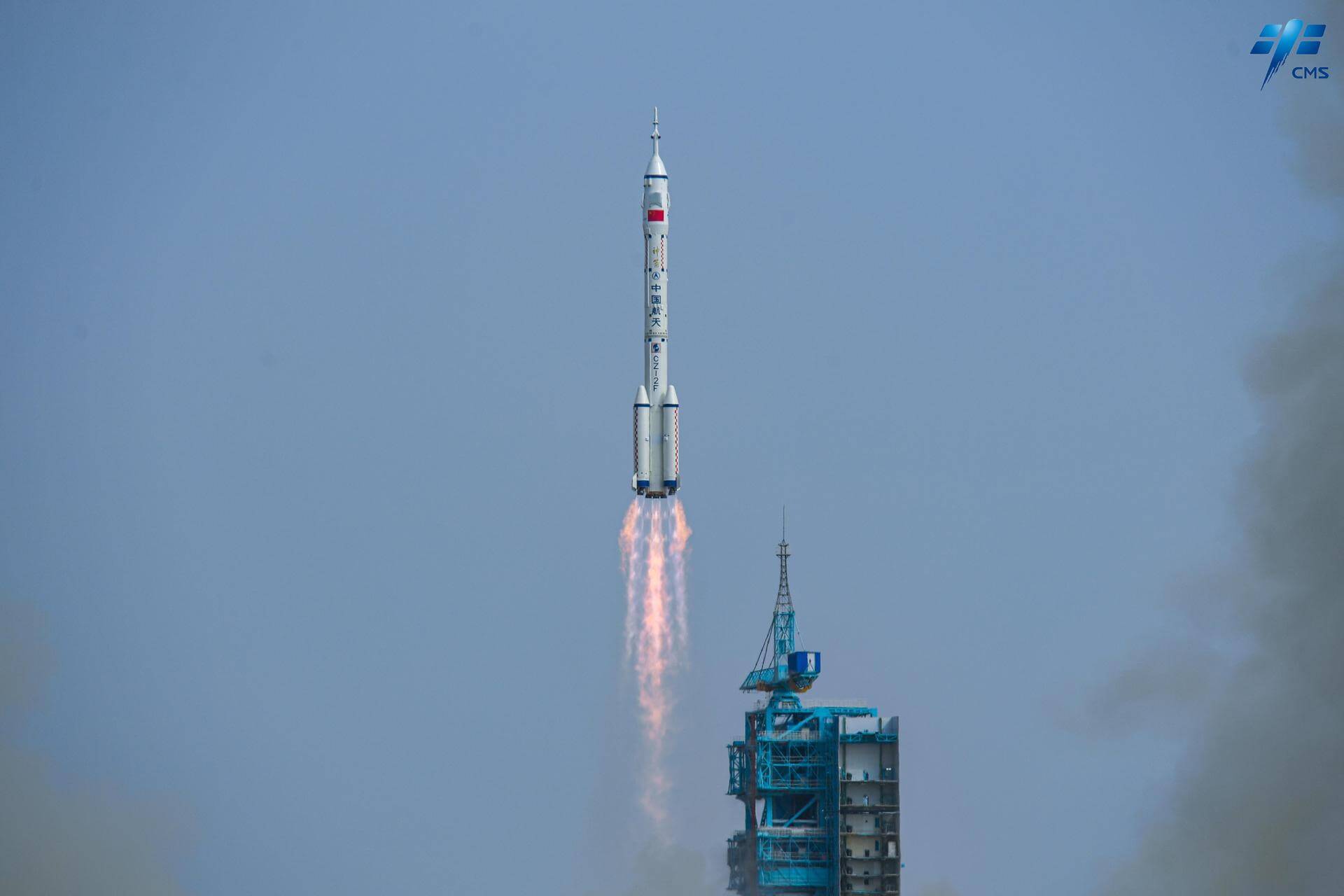
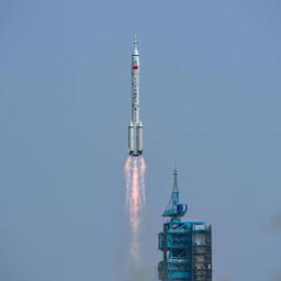
{ "count": 55, "next": "https://lldev.thespacedevs.com/2.3.0/config/landing_locations/?format=api&limit=10&offset=10&ordering=failed_landings", "previous": null, "results": [ { "id": 27, "name": "Vandenberg Space Force Base", "active": true, "abbrev": "KVBG", "description": "Vandenberg Space Force Base, CA, USA", "location": { "response_mode": "normal", "id": 11, "url": "https://lldev.thespacedevs.com/2.3.0/locations/11/?format=api", "name": "Vandenberg SFB, CA, USA", "active": true, "country": { "id": 2, "name": "United States of America", "alpha_2_code": "US", "alpha_3_code": "USA", "nationality_name": "American", "nationality_name_composed": "Americano" }, "description": "Vandenberg Space Force Base is a United States Space Force Base in Santa Barbara County, California. Established in 1941, Vandenberg Space Force Base is a space launch base, launching spacecraft from the Western Range, and also performs missile testing. The United States Space Force's Space Launch Delta 30 serves as the host delta for the base, equivalent to an Air Force air base wing. In addition to its military space launch mission, Vandenberg Space Force Base also hosts space launches for civil and commercial space entities, such as NASA and SpaceX.", "image": { "id": 2226, "name": "Vandenberg SFB imaged by Sentinel-2", "image_url": "https://thespacedevs-dev.nyc3.digitaloceanspaces.com/media/images/vandenberg_sfb__image_20240920082910.jpeg", "thumbnail_url": "https://thespacedevs-dev.nyc3.digitaloceanspaces.com/media/images/vandenberg_sfb__image_thumbnail_20240920082910.jpeg", "credit": "Contains modified Copernicus Sentinel data 2020", "license": { "id": 33, "name": "Copernicus Image Use Policy", "priority": 0, "link": "https://eur-lex.europa.eu/legal-content/EN/TXT/?uri=CELEX:32013R1159" }, "single_use": true, "variants": [] }, "map_image": "https://thespacedevs-dev.nyc3.digitaloceanspaces.com/media/map_images/location_11_20200803142416.jpg", "longitude": -120.52023, "latitude": 34.75133, "timezone_name": "America/Los_Angeles", "total_launch_count": 849, "total_landing_count": 30 }, "longitude": -120.52023, "latitude": 34.75133, "image": { "id": 1940, "name": "[AUTO] X-37B - image", "image_url": "https://thespacedevs-dev.nyc3.digitaloceanspaces.com/media/images/x-37b_image_20221113134355.jpeg", "thumbnail_url": "https://thespacedevs-dev.nyc3.digitaloceanspaces.com/media/images/255bauto255d__image_thumbnail_20240305194208.jpeg", "credit": null, "license": { "id": 1, "name": "Unknown", "priority": 9, "link": null }, "single_use": true, "variants": [] }, "successful_landings": 4, "attempted_landings": 4, "failed_landings": 0, "celestial_body": { "response_mode": "normal", "id": 1, "name": "Earth", "type": { "id": 1, "name": "Planet" }, "diameter": 12742000.0, "mass": 5.972168e+24, "gravity": 9.80655, "length_of_day": "1 00:00:00", "atmosphere": true, "image": { "id": 2040, "name": "Earth (Apollo 17)", "image_url": "https://thespacedevs-dev.nyc3.digitaloceanspaces.com/media/images/earth_2528apol_image_20240402194304.jpeg", "thumbnail_url": "https://thespacedevs-dev.nyc3.digitaloceanspaces.com/media/images/earth_2528apol_image_thumbnail_20240402194305.jpeg", "credit": "NASA", "license": { "id": 4, "name": "NASA Image and Media Guidelines", "priority": 0, "link": "https://www.nasa.gov/nasa-brand-center/images-and-media/" }, "single_use": true, "variants": [] }, "description": "Earth is the third planet from the Sun and the only astronomical object known to harbor life.", "wiki_url": "https://en.wikipedia.org/wiki/Earth" } }, { "id": 7, "name": "Landing Zone 4", "active": true, "abbrev": "LZ-4", "description": "LZ at Vandenberg", "location": { "response_mode": "normal", "id": 11, "url": "https://lldev.thespacedevs.com/2.3.0/locations/11/?format=api", "name": "Vandenberg SFB, CA, USA", "active": true, "country": { "id": 2, "name": "United States of America", "alpha_2_code": "US", "alpha_3_code": "USA", "nationality_name": "American", "nationality_name_composed": "Americano" }, "description": "Vandenberg Space Force Base is a United States Space Force Base in Santa Barbara County, California. Established in 1941, Vandenberg Space Force Base is a space launch base, launching spacecraft from the Western Range, and also performs missile testing. The United States Space Force's Space Launch Delta 30 serves as the host delta for the base, equivalent to an Air Force air base wing. In addition to its military space launch mission, Vandenberg Space Force Base also hosts space launches for civil and commercial space entities, such as NASA and SpaceX.", "image": { "id": 2226, "name": "Vandenberg SFB imaged by Sentinel-2", "image_url": "https://thespacedevs-dev.nyc3.digitaloceanspaces.com/media/images/vandenberg_sfb__image_20240920082910.jpeg", "thumbnail_url": "https://thespacedevs-dev.nyc3.digitaloceanspaces.com/media/images/vandenberg_sfb__image_thumbnail_20240920082910.jpeg", "credit": "Contains modified Copernicus Sentinel data 2020", "license": { "id": 33, "name": "Copernicus Image Use Policy", "priority": 0, "link": "https://eur-lex.europa.eu/legal-content/EN/TXT/?uri=CELEX:32013R1159" }, "single_use": true, "variants": [] }, "map_image": "https://thespacedevs-dev.nyc3.digitaloceanspaces.com/media/map_images/location_11_20200803142416.jpg", "longitude": -120.52023, "latitude": 34.75133, "timezone_name": "America/Los_Angeles", "total_launch_count": 849, "total_landing_count": 30 }, "longitude": -120.615193, "latitude": 34.632994, "image": { "id": 1967, "name": "LZ-4 at SLC-4E empty", "image_url": "https://thespacedevs-dev.nyc3.digitaloceanspaces.com/media/images/lz-4_at_slc-4e__image_20240310162737.jpeg", "thumbnail_url": "https://thespacedevs-dev.nyc3.digitaloceanspaces.com/media/images/lz-4_at_slc-4e__image_thumbnail_20240310162738.jpeg", "credit": "SpaceX", "license": { "id": 5, "name": "CC BY-NC 2.0", "priority": 1, "link": "https://creativecommons.org/licenses/by-nc/2.0/" }, "single_use": true, "variants": [] }, "successful_landings": 30, "attempted_landings": 30, "failed_landings": 0, "celestial_body": { "response_mode": "normal", "id": 1, "name": "Earth", "type": { "id": 1, "name": "Planet" }, "diameter": 12742000.0, "mass": 5.972168e+24, "gravity": 9.80655, "length_of_day": "1 00:00:00", "atmosphere": true, "image": { "id": 2040, "name": "Earth (Apollo 17)", "image_url": "https://thespacedevs-dev.nyc3.digitaloceanspaces.com/media/images/earth_2528apol_image_20240402194304.jpeg", "thumbnail_url": "https://thespacedevs-dev.nyc3.digitaloceanspaces.com/media/images/earth_2528apol_image_thumbnail_20240402194305.jpeg", "credit": "NASA", "license": { "id": 4, "name": "NASA Image and Media Guidelines", "priority": 0, "link": "https://www.nasa.gov/nasa-brand-center/images-and-media/" }, "single_use": true, "variants": [] }, "description": "Earth is the third planet from the Sun and the only astronomical object known to harbor life.", "wiki_url": "https://en.wikipedia.org/wiki/Earth" } }, { "id": 20, "name": "White Sands Missile Range", "active": true, "abbrev": "WSMR", "description": "US Army testing area and firing range located in the US state of New Mexico.", "location": { "response_mode": "normal", "id": 155, "url": "https://lldev.thespacedevs.com/2.3.0/locations/155/?format=api", "name": "White Sands Missile Range", "active": true, "country": { "id": 2, "name": "United States of America", "alpha_2_code": "US", "alpha_3_code": "USA", "nationality_name": "American", "nationality_name_composed": "Americano" }, "description": "White Sands Missile Range is a United States Army military testing area and firing range located in the US state of New Mexico. The range was originally established in 1941 as the Alamogordo Bombing and Gunnery Range, where the Trinity test site lay at the northern end of the Range, in Socorro County near the towns of Carrizozo and San Antonio. It then became the White Sands Proving Ground on 9 July 1945.", "image": { "id": 2229, "name": "Space Shuttle Columbia landing at White Sands (STS-3)", "image_url": "https://thespacedevs-dev.nyc3.digitaloceanspaces.com/media/images/space_shuttle_c_image_20240920084425.jpg", "thumbnail_url": "https://thespacedevs-dev.nyc3.digitaloceanspaces.com/media/images/space_shuttle_c_image_thumbnail_20240920084425.jpeg", "credit": "NASA", "license": { "id": 4, "name": "NASA Image and Media Guidelines", "priority": 0, "link": "https://www.nasa.gov/nasa-brand-center/images-and-media/" }, "single_use": false, "variants": [] }, "map_image": "https://thespacedevs-dev.nyc3.digitaloceanspaces.com/media/map_images/location_white_sands_missile_range_20210901072636.jpg", "longitude": -106.405833, "latitude": 32.335556, "timezone_name": "America/Denver", "total_launch_count": 5, "total_landing_count": 0 }, "longitude": null, "latitude": null, "image": { "id": 2229, "name": "Space Shuttle Columbia landing at White Sands (STS-3)", "image_url": "https://thespacedevs-dev.nyc3.digitaloceanspaces.com/media/images/space_shuttle_c_image_20240920084425.jpg", "thumbnail_url": "https://thespacedevs-dev.nyc3.digitaloceanspaces.com/media/images/space_shuttle_c_image_thumbnail_20240920084425.jpeg", "credit": "NASA", "license": { "id": 4, "name": "NASA Image and Media Guidelines", "priority": 0, "link": "https://www.nasa.gov/nasa-brand-center/images-and-media/" }, "single_use": false, "variants": [] }, "successful_landings": 5, "attempted_landings": 5, "failed_landings": 0, "celestial_body": { "response_mode": "normal", "id": 1, "name": "Earth", "type": { "id": 1, "name": "Planet" }, "diameter": 12742000.0, "mass": 5.972168e+24, "gravity": 9.80655, "length_of_day": "1 00:00:00", "atmosphere": true, "image": { "id": 2040, "name": "Earth (Apollo 17)", "image_url": "https://thespacedevs-dev.nyc3.digitaloceanspaces.com/media/images/earth_2528apol_image_20240402194304.jpeg", "thumbnail_url": "https://thespacedevs-dev.nyc3.digitaloceanspaces.com/media/images/earth_2528apol_image_thumbnail_20240402194305.jpeg", "credit": "NASA", "license": { "id": 4, "name": "NASA Image and Media Guidelines", "priority": 0, "link": "https://www.nasa.gov/nasa-brand-center/images-and-media/" }, "single_use": true, "variants": [] }, "description": "Earth is the third planet from the Sun and the only astronomical object known to harbor life.", "wiki_url": "https://en.wikipedia.org/wiki/Earth" } }, { "id": 5, "name": "Landing Zone 2", "active": true, "abbrev": "LZ-2", "description": "LZ-2 Pad located at Cape Canaveral Space Force Station at the previous LC-13. Directly next to LZ-1", "location": { "response_mode": "normal", "id": 12, "url": "https://lldev.thespacedevs.com/2.3.0/locations/12/?format=api", "name": "Cape Canaveral SFS, FL, USA", "active": true, "country": { "id": 2, "name": "United States of America", "alpha_2_code": "US", "alpha_3_code": "USA", "nationality_name": "American", "nationality_name_composed": "Americano" }, "description": "Cape Canaveral Space Force Station (CCSFS) is an installation of the United States Space Force's Space Launch Delta 45, located on Cape Canaveral in Brevard County, Florida.", "image": { "id": 2200, "name": "Cape Canaveral & KSC seen from orbit (STS-43)", "image_url": "https://thespacedevs-dev.nyc3.digitaloceanspaces.com/media/images/cape_canaveral__image_20240918151615.jpg", "thumbnail_url": "https://thespacedevs-dev.nyc3.digitaloceanspaces.com/media/images/cape_canaveral__image_thumbnail_20240918151616.jpeg", "credit": "NASA", "license": { "id": 4, "name": "NASA Image and Media Guidelines", "priority": 0, "link": "https://www.nasa.gov/nasa-brand-center/images-and-media/" }, "single_use": true, "variants": [] }, "map_image": "https://thespacedevs-dev.nyc3.digitaloceanspaces.com/media/map_images/location_12_20200803142519.jpg", "longitude": -80.577778, "latitude": 28.488889, "timezone_name": "America/New_York", "total_launch_count": 1072, "total_landing_count": 69 }, "longitude": -80.544964, "latitude": 28.48775, "image": { "id": 1976, "name": "LZ-2", "image_url": "https://thespacedevs-dev.nyc3.digitaloceanspaces.com/media/images/lz-2_image_20240310172018.png", "thumbnail_url": "https://thespacedevs-dev.nyc3.digitaloceanspaces.com/media/images/lz-2_image_thumbnail_20240310172019.png", "credit": "SpaceX", "license": { "id": 5, "name": "CC BY-NC 2.0", "priority": 1, "link": "https://creativecommons.org/licenses/by-nc/2.0/" }, "single_use": true, "variants": [] }, "successful_landings": 15, "attempted_landings": 15, "failed_landings": 0, "celestial_body": { "response_mode": "normal", "id": 1, "name": "Earth", "type": { "id": 1, "name": "Planet" }, "diameter": 12742000.0, "mass": 5.972168e+24, "gravity": 9.80655, "length_of_day": "1 00:00:00", "atmosphere": true, "image": { "id": 2040, "name": "Earth (Apollo 17)", "image_url": "https://thespacedevs-dev.nyc3.digitaloceanspaces.com/media/images/earth_2528apol_image_20240402194304.jpeg", "thumbnail_url": "https://thespacedevs-dev.nyc3.digitaloceanspaces.com/media/images/earth_2528apol_image_thumbnail_20240402194305.jpeg", "credit": "NASA", "license": { "id": 4, "name": "NASA Image and Media Guidelines", "priority": 0, "link": "https://www.nasa.gov/nasa-brand-center/images-and-media/" }, "single_use": true, "variants": [] }, "description": "Earth is the third planet from the Sun and the only astronomical object known to harbor life.", "wiki_url": "https://en.wikipedia.org/wiki/Earth" } }, { "id": 40, "name": "Tranquility Base", "active": false, "abbrev": "TB", "description": "Tranquility Base is the site on the Moon where, in July 1969, humans landed and walked on a celestial body other than Earth for the first time.", "location": { "response_mode": "normal", "id": 167, "url": "https://lldev.thespacedevs.com/2.3.0/locations/167/?format=api", "name": "Mare Tranquillitatis, Moon", "active": false, "country": null, "description": "Mare Tranquillitatis(Latin for Sea of Tranquillity) is a lunar mare that sits within the Tranquillitatis basin on the Moon. It contains Tranquility Base, the first location on another celestial body to be visited by humans.", "image": { "id": 2158, "name": "Mare Tranquillitatis", "image_url": "https://thespacedevs-dev.nyc3.digitaloceanspaces.com/media/images/mare_tranquilli_image_20240813071131.jpg", "thumbnail_url": "https://thespacedevs-dev.nyc3.digitaloceanspaces.com/media/images/mare_tranquilli_image_thumbnail_20240813071133.jpeg", "credit": "NASA", "license": { "id": 4, "name": "NASA Image and Media Guidelines", "priority": 0, "link": "https://www.nasa.gov/nasa-brand-center/images-and-media/" }, "single_use": true, "variants": [] }, "map_image": "https://thespacedevs-dev.nyc3.digitaloceanspaces.com/media/map_images/location_tranquility_base252c_mare_tranquillitatis252c_moon_20240813032508.jpg", "longitude": 31.4, "latitude": 8.5, "timezone_name": "", "total_launch_count": 1, "total_landing_count": 0 }, "longitude": 23.433333, "latitude": 0.6875, "image": { "id": 2140, "name": "Apollo 11 LM and Buzz Aldrin on the lunar surface", "image_url": "https://thespacedevs-dev.nyc3.digitaloceanspaces.com/media/images/apollo_11_lm_on_image_20240812080213.jpg", "thumbnail_url": "https://thespacedevs-dev.nyc3.digitaloceanspaces.com/media/images/apollo_11_lm_on_image_thumbnail_20240812080213.jpeg", "credit": "NASA/Neil A. Armstrong", "license": { "id": 4, "name": "NASA Image and Media Guidelines", "priority": 0, "link": "https://www.nasa.gov/nasa-brand-center/images-and-media/" }, "single_use": false, "variants": [] }, "successful_landings": 1, "attempted_landings": 1, "failed_landings": 0, "celestial_body": { "response_mode": "normal", "id": 2, "name": "Moon", "type": { "id": 2, "name": "Moon" }, "diameter": 3474800.0, "mass": 7.342e+22, "gravity": 1.622, "length_of_day": "27 07:43:12", "atmosphere": false, "image": { "id": 2041, "name": "Moon (Apollo 11)", "image_url": "https://thespacedevs-dev.nyc3.digitaloceanspaces.com/media/images/moon_2528apoll_image_20240402195408.jpg", "thumbnail_url": "https://thespacedevs-dev.nyc3.digitaloceanspaces.com/media/images/moon_2528apoll_image_thumbnail_20240402195408.jpeg", "credit": "NASA", "license": { "id": 4, "name": "NASA Image and Media Guidelines", "priority": 0, "link": "https://www.nasa.gov/nasa-brand-center/images-and-media/" }, "single_use": false, "variants": [] }, "description": "The Moon is Earth's only natural satellite.", "wiki_url": "https://en.wikipedia.org/wiki/Moon" } }, { "id": 50, "name": "Launch Complex 34", "active": false, "abbrev": "LC-34", "description": "", "location": { "response_mode": "normal", "id": 12, "url": "https://lldev.thespacedevs.com/2.3.0/locations/12/?format=api", "name": "Cape Canaveral SFS, FL, USA", "active": true, "country": { "id": 2, "name": "United States of America", "alpha_2_code": "US", "alpha_3_code": "USA", "nationality_name": "American", "nationality_name_composed": "Americano" }, "description": "Cape Canaveral Space Force Station (CCSFS) is an installation of the United States Space Force's Space Launch Delta 45, located on Cape Canaveral in Brevard County, Florida.", "image": { "id": 2200, "name": "Cape Canaveral & KSC seen from orbit (STS-43)", "image_url": "https://thespacedevs-dev.nyc3.digitaloceanspaces.com/media/images/cape_canaveral__image_20240918151615.jpg", "thumbnail_url": "https://thespacedevs-dev.nyc3.digitaloceanspaces.com/media/images/cape_canaveral__image_thumbnail_20240918151616.jpeg", "credit": "NASA", "license": { "id": 4, "name": "NASA Image and Media Guidelines", "priority": 0, "link": "https://www.nasa.gov/nasa-brand-center/images-and-media/" }, "single_use": true, "variants": [] }, "map_image": "https://thespacedevs-dev.nyc3.digitaloceanspaces.com/media/map_images/location_12_20200803142519.jpg", "longitude": -80.577778, "latitude": 28.488889, "timezone_name": "America/New_York", "total_launch_count": 1072, "total_landing_count": 69 }, "longitude": -80.561389, "latitude": 28.521944, "image": { "id": 2236, "name": "LC-34 in 1963", "image_url": "https://thespacedevs-dev.nyc3.digitaloceanspaces.com/media/images/lc-34_in_1963_image_20240920091635.jpg", "thumbnail_url": "https://thespacedevs-dev.nyc3.digitaloceanspaces.com/media/images/lc-34_in_1963_image_thumbnail_20240920091635.jpeg", "credit": "NASA", "license": { "id": 4, "name": "NASA Image and Media Guidelines", "priority": 0, "link": "https://www.nasa.gov/nasa-brand-center/images-and-media/" }, "single_use": true, "variants": [] }, "successful_landings": 0, "attempted_landings": 0, "failed_landings": 0, "celestial_body": { "response_mode": "normal", "id": 1, "name": "Earth", "type": { "id": 1, "name": "Planet" }, "diameter": 12742000.0, "mass": 5.972168e+24, "gravity": 9.80655, "length_of_day": "1 00:00:00", "atmosphere": true, "image": { "id": 2040, "name": "Earth (Apollo 17)", "image_url": "https://thespacedevs-dev.nyc3.digitaloceanspaces.com/media/images/earth_2528apol_image_20240402194304.jpeg", "thumbnail_url": "https://thespacedevs-dev.nyc3.digitaloceanspaces.com/media/images/earth_2528apol_image_thumbnail_20240402194305.jpeg", "credit": "NASA", "license": { "id": 4, "name": "NASA Image and Media Guidelines", "priority": 0, "link": "https://www.nasa.gov/nasa-brand-center/images-and-media/" }, "single_use": true, "variants": [] }, "description": "Earth is the third planet from the Sun and the only astronomical object known to harbor life.", "wiki_url": "https://en.wikipedia.org/wiki/Earth" } }, { "id": 43, "name": "Apollo 15 landing site", "active": false, "abbrev": "A15", "description": "Landing site of Apollo 15’s lunar module Falcon on 30 July 1971.", "location": { "response_mode": "normal", "id": 170, "url": "https://lldev.thespacedevs.com/2.3.0/locations/170/?format=api", "name": "Hadley–Apennine, Moon", "active": false, "country": null, "description": "Hadley–Apennine is a region on the near side of Earth's Moon that served as the landing site for the American Apollo 15 mission, the fourth crewed landing on the Moon and the first of the \"J-missions\", in July 1971. The site is located on the eastern edge of Mare Imbrium on a lava plain known as Palus Putredinis. Hadley–Apennine is bordered by the Montes Apenninus (often referred to as \"Apennine Front\"), a mountain range, and Hadley Rille, a meandering channel, on the east and west, respectively.", "image": { "id": 2144, "name": "Apollo 15 landing site at Hadley-Apennine", "image_url": "https://thespacedevs-dev.nyc3.digitaloceanspaces.com/media/images/apollo_15_landi_image_20240812112508.png", "thumbnail_url": "https://thespacedevs-dev.nyc3.digitaloceanspaces.com/media/images/apollo_15_landi_image_thumbnail_20240812112509.png", "credit": "NASA", "license": { "id": 4, "name": "NASA Image and Media Guidelines", "priority": 0, "link": "https://www.nasa.gov/nasa-brand-center/images-and-media/" }, "single_use": true, "variants": [] }, "map_image": "https://thespacedevs-dev.nyc3.digitaloceanspaces.com/media/map_images/location_apollo_15_landing_site252c_hadley25e225802593apennine252c_moon_20240813033431.jpg", "longitude": 3.6339, "latitude": 26.1322, "timezone_name": "", "total_launch_count": 1, "total_landing_count": 0 }, "longitude": 3.6339, "latitude": 26.1322, "image": { "id": 2162, "name": "Apollo 15 LM and James Irwin on the lunar surface", "image_url": "https://thespacedevs-dev.nyc3.digitaloceanspaces.com/media/images/apollo_15_lm_an_image_20240813074321.jpg", "thumbnail_url": "https://thespacedevs-dev.nyc3.digitaloceanspaces.com/media/images/apollo_15_lm_an_image_thumbnail_20240813074323.jpeg", "credit": "NASA", "license": { "id": 4, "name": "NASA Image and Media Guidelines", "priority": 0, "link": "https://www.nasa.gov/nasa-brand-center/images-and-media/" }, "single_use": false, "variants": [] }, "successful_landings": 1, "attempted_landings": 1, "failed_landings": 0, "celestial_body": { "response_mode": "normal", "id": 2, "name": "Moon", "type": { "id": 2, "name": "Moon" }, "diameter": 3474800.0, "mass": 7.342e+22, "gravity": 1.622, "length_of_day": "27 07:43:12", "atmosphere": false, "image": { "id": 2041, "name": "Moon (Apollo 11)", "image_url": "https://thespacedevs-dev.nyc3.digitaloceanspaces.com/media/images/moon_2528apoll_image_20240402195408.jpg", "thumbnail_url": "https://thespacedevs-dev.nyc3.digitaloceanspaces.com/media/images/moon_2528apoll_image_thumbnail_20240402195408.jpeg", "credit": "NASA", "license": { "id": 4, "name": "NASA Image and Media Guidelines", "priority": 0, "link": "https://www.nasa.gov/nasa-brand-center/images-and-media/" }, "single_use": false, "variants": [] }, "description": "The Moon is Earth's only natural satellite.", "wiki_url": "https://en.wikipedia.org/wiki/Moon" } }, { "id": 59, "name": "Diamant Launch Area Landing Pad", "active": true, "abbrev": "DLALP", "description": "Landing pad for reusable first stages launched from the Diamant Launch Area.", "location": { "response_mode": "normal", "id": 13, "url": "https://lldev.thespacedevs.com/2.3.0/locations/13/?format=api", "name": "Guiana Space Centre, French Guiana", "active": true, "country": { "id": 50, "name": "French Guiana", "alpha_2_code": "GF", "alpha_3_code": "GUF", "nationality_name": "French Guianan", "nationality_name_composed": "Franco-Guiano" }, "description": "The Guiana Space Centre is a European spaceport to the northwest of Kourou in French Guiana, a region of France in South America. Kourou is located at a latitude of 5°. In operation since 1968, it is a suitable location for a spaceport because of its equatorial location and open sea to the east.", "image": { "id": 2203, "name": "Vega & Ariane 5 pads at the Guiana Space Centre", "image_url": "https://thespacedevs-dev.nyc3.digitaloceanspaces.com/media/images/vega_2526_aria_image_20240918154413.jpg", "thumbnail_url": "https://thespacedevs-dev.nyc3.digitaloceanspaces.com/media/images/vega_2526_aria_image_thumbnail_20240918154414.jpeg", "credit": "ESA/S. Corvaja", "license": { "id": 2, "name": "ESA Standard Licence", "priority": 2, "link": "https://www.esa.int/ESA_Multimedia/Terms_and_conditions_of_use_of_images_and_videos_available_on_the_esa_website" }, "single_use": true, "variants": [] }, "map_image": "https://thespacedevs-dev.nyc3.digitaloceanspaces.com/media/map_images/location_13_20200803142412.jpg", "longitude": -52.6903, "latitude": 5.169, "timezone_name": "America/Cayenne", "total_launch_count": 329, "total_landing_count": 0 }, "longitude": -52.7758051, "latitude": 5.2222222, "image": { "id": 2477, "name": "ELM Diamant render", "image_url": "https://thespacedevs-dev.nyc3.digitaloceanspaces.com/media/images/elm_diamant_ren_image_20250916111400.webp", "thumbnail_url": "https://thespacedevs-dev.nyc3.digitaloceanspaces.com/media/images/elm_diamant_ren_image_thumbnail_20250916111400.jpeg", "credit": "CNES/L'Œil du Chat", "license": { "id": 26, "name": "CNES Image Use Policy", "priority": 2, "link": "https://phototheque.cnes.fr/cnes/info2.do" }, "single_use": false, "variants": [] }, "successful_landings": 0, "attempted_landings": 0, "failed_landings": 0, "celestial_body": { "response_mode": "normal", "id": 1, "name": "Earth", "type": { "id": 1, "name": "Planet" }, "diameter": 12742000.0, "mass": 5.972168e+24, "gravity": 9.80655, "length_of_day": "1 00:00:00", "atmosphere": true, "image": { "id": 2040, "name": "Earth (Apollo 17)", "image_url": "https://thespacedevs-dev.nyc3.digitaloceanspaces.com/media/images/earth_2528apol_image_20240402194304.jpeg", "thumbnail_url": "https://thespacedevs-dev.nyc3.digitaloceanspaces.com/media/images/earth_2528apol_image_thumbnail_20240402194305.jpeg", "credit": "NASA", "license": { "id": 4, "name": "NASA Image and Media Guidelines", "priority": 0, "link": "https://www.nasa.gov/nasa-brand-center/images-and-media/" }, "single_use": true, "variants": [] }, "description": "Earth is the third planet from the Sun and the only astronomical object known to harbor life.", "wiki_url": "https://en.wikipedia.org/wiki/Earth" } }, { "id": 61, "name": "Long March 12A Landing Site", "active": true, "abbrev": "CZ-12A LZ", "description": "Landing site for first stage boosters of CASC’s Long March 12A rocket at Minqin County, Gansu Province, China.", "location": { "response_mode": "normal", "id": 17, "url": "https://lldev.thespacedevs.com/2.3.0/locations/17/?format=api", "name": "Jiuquan Satellite Launch Center, People's Republic of China", "active": true, "country": { "id": 6, "name": "China", "alpha_2_code": "CN", "alpha_3_code": "CHN", "nationality_name": "Chinese", "nationality_name_composed": "Sino" }, "description": "Jiuquan Satellite Launch Center is a Chinese spaceport located between the Ejin, Alxa, Inner Mongolia and Hangtian Town, Jinta County, Jiuquan, Gansu Province. It is part of the Dongfeng Aerospace City (Base 10).", "image": { "id": 1374, "name": "Long March 2F/G liftoff (Shenzhou 16)", "image_url": "https://thespacedevs-dev.nyc3.digitaloceanspaces.com/media/images/long2520march_image_20240101085213.jpeg", "thumbnail_url": "https://thespacedevs-dev.nyc3.digitaloceanspaces.com/media/images/255bauto255d__image_thumbnail_20240305192548.jpeg", "credit": "CMS", "license": { "id": 1, "name": "Unknown", "priority": 9, "link": null }, "single_use": false, "variants": [] }, "map_image": "https://thespacedevs-dev.nyc3.digitaloceanspaces.com/media/map_images/location_17_20200803142429.jpg", "longitude": 100.291111, "latitude": 40.958056, "timezone_name": "Asia/Shanghai", "total_launch_count": 268, "total_landing_count": 1 }, "longitude": 101.9227, "latitude": 39.04405, "image": null, "successful_landings": 0, "attempted_landings": 0, "failed_landings": 0, "celestial_body": { "response_mode": "normal", "id": 1, "name": "Earth", "type": { "id": 1, "name": "Planet" }, "diameter": 12742000.0, "mass": 5.972168e+24, "gravity": 9.80655, "length_of_day": "1 00:00:00", "atmosphere": true, "image": { "id": 2040, "name": "Earth (Apollo 17)", "image_url": "https://thespacedevs-dev.nyc3.digitaloceanspaces.com/media/images/earth_2528apol_image_20240402194304.jpeg", "thumbnail_url": "https://thespacedevs-dev.nyc3.digitaloceanspaces.com/media/images/earth_2528apol_image_thumbnail_20240402194305.jpeg", "credit": "NASA", "license": { "id": 4, "name": "NASA Image and Media Guidelines", "priority": 0, "link": "https://www.nasa.gov/nasa-brand-center/images-and-media/" }, "single_use": true, "variants": [] }, "description": "Earth is the third planet from the Sun and the only astronomical object known to harbor life.", "wiki_url": "https://en.wikipedia.org/wiki/Earth" } }, { "id": 48, "name": "Luna 24 landing site", "active": false, "abbrev": "L24", "description": "Landing site of the successful Soviet lunar sample return mission Luna 24 on 18 August 1976.", "location": { "response_mode": "normal", "id": 175, "url": "https://lldev.thespacedevs.com/2.3.0/locations/175/?format=api", "name": "Mare Crisium, Moon", "active": false, "country": null, "description": "Mare Crisium is a lunar mare located in the Moon's Crisium basin, just northeast of Mare Tranquillitatis. Mare Crisium is a basin of Nectarian age.", "image": { "id": 2167, "name": "Mare Crisium seen from LRO", "image_url": "https://thespacedevs-dev.nyc3.digitaloceanspaces.com/media/images/mare_crisium_se_image_20240813080640.png", "thumbnail_url": "https://thespacedevs-dev.nyc3.digitaloceanspaces.com/media/images/mare_crisium_se_image_thumbnail_20240813080640.png", "credit": "NASA", "license": { "id": 4, "name": "NASA Image and Media Guidelines", "priority": 0, "link": "https://www.nasa.gov/nasa-brand-center/images-and-media/" }, "single_use": true, "variants": [] }, "map_image": "https://thespacedevs-dev.nyc3.digitaloceanspaces.com/media/map_images/location_luna_24_landing_site252c_mare_crisium252c_moon_20240813034626.jpg", "longitude": 59.1, "latitude": 17.0, "timezone_name": "", "total_launch_count": 1, "total_landing_count": 0 }, "longitude": 62.2097, "latitude": 12.7145, "image": { "id": 2168, "name": "Luna 24 model", "image_url": "https://thespacedevs-dev.nyc3.digitaloceanspaces.com/media/images/luna_24_model_image_20240813080836.jpg", "thumbnail_url": "https://thespacedevs-dev.nyc3.digitaloceanspaces.com/media/images/luna_24_model_image_thumbnail_20240813080836.jpeg", "credit": "Музей Космонавтики from Россия", "license": { "id": 25, "name": "CC0 1.0", "priority": 3, "link": "https://creativecommons.org/publicdomain/zero/1.0/deed.en" }, "single_use": false, "variants": [] }, "successful_landings": 1, "attempted_landings": 1, "failed_landings": 0, "celestial_body": { "response_mode": "normal", "id": 2, "name": "Moon", "type": { "id": 2, "name": "Moon" }, "diameter": 3474800.0, "mass": 7.342e+22, "gravity": 1.622, "length_of_day": "27 07:43:12", "atmosphere": false, "image": { "id": 2041, "name": "Moon (Apollo 11)", "image_url": "https://thespacedevs-dev.nyc3.digitaloceanspaces.com/media/images/moon_2528apoll_image_20240402195408.jpg", "thumbnail_url": "https://thespacedevs-dev.nyc3.digitaloceanspaces.com/media/images/moon_2528apoll_image_thumbnail_20240402195408.jpeg", "credit": "NASA", "license": { "id": 4, "name": "NASA Image and Media Guidelines", "priority": 0, "link": "https://www.nasa.gov/nasa-brand-center/images-and-media/" }, "single_use": false, "variants": [] }, "description": "The Moon is Earth's only natural satellite.", "wiki_url": "https://en.wikipedia.org/wiki/Moon" } } ] }