Pad List
API endpoint that allows Location instances to be viewed.
GET: Return a list of all the existing location instances.
FILTERS: Parameters - 'id', 'agency_id', 'name', 'name__contains', 'latitude', 'latitude__contains', 'longitude', 'longitude__contains', 'location__name', 'location__name__contains', 'location__id', 'orbital_launch_attempt_count', 'total_launch_count'
ORDERING: Fields - 'id', 'name', 'location__id', 'location__name', 'orbital_launch_attempt_count', 'total_launch_count'
Example - /2.2.0/pad/?ordering=location__name
GET /2.2.0/pad/?format=api&ordering=-id
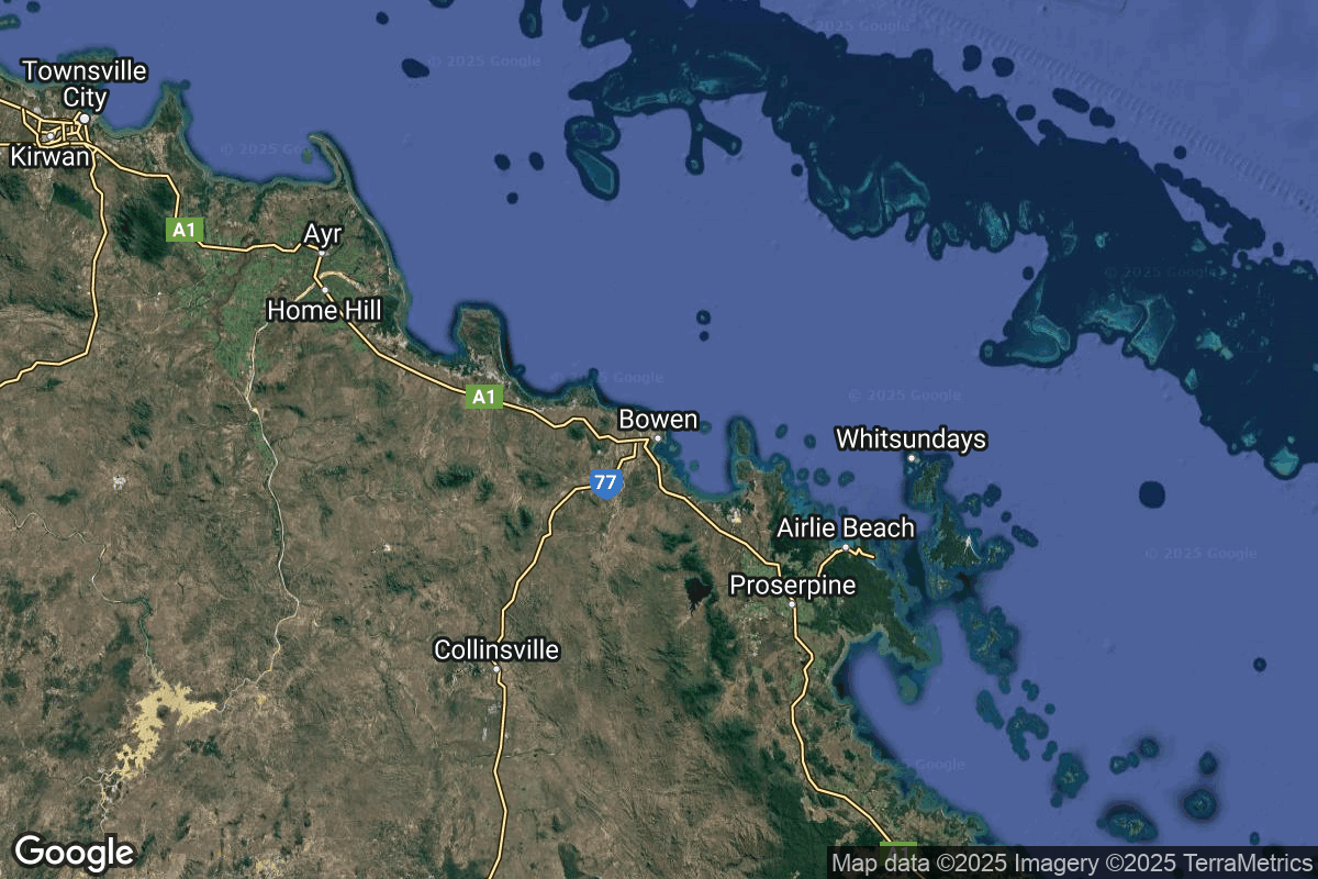
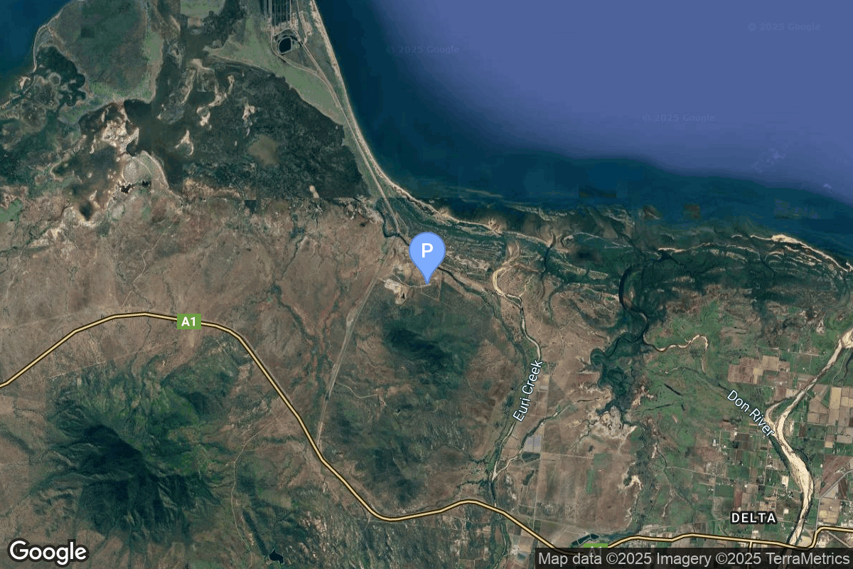
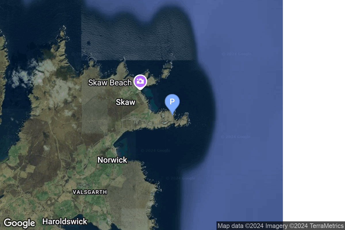
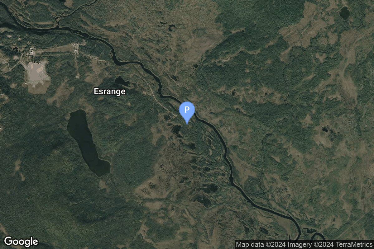
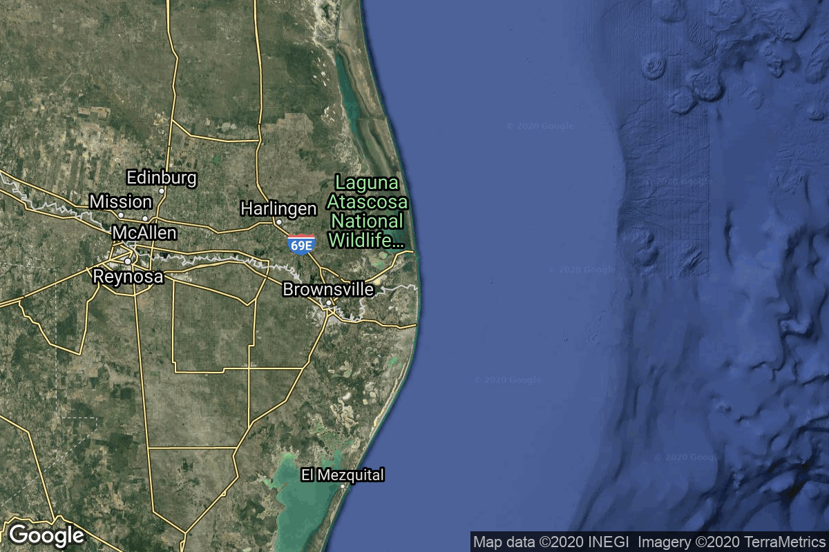
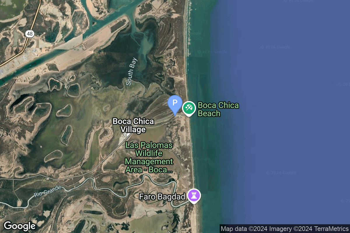
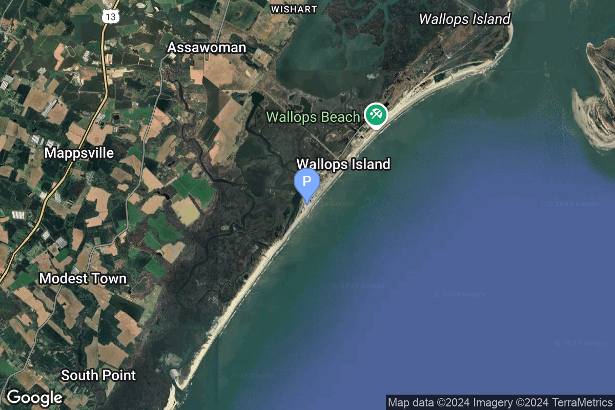
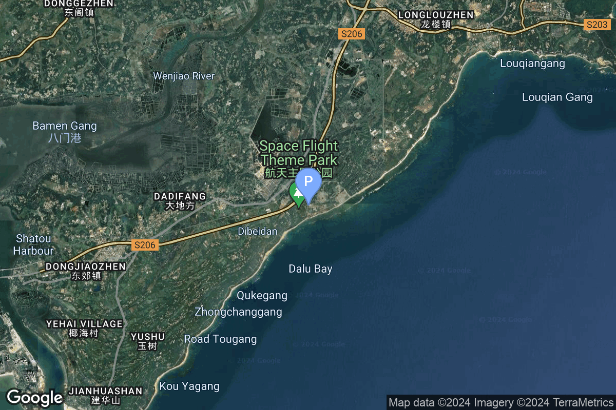
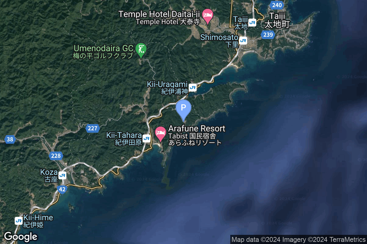
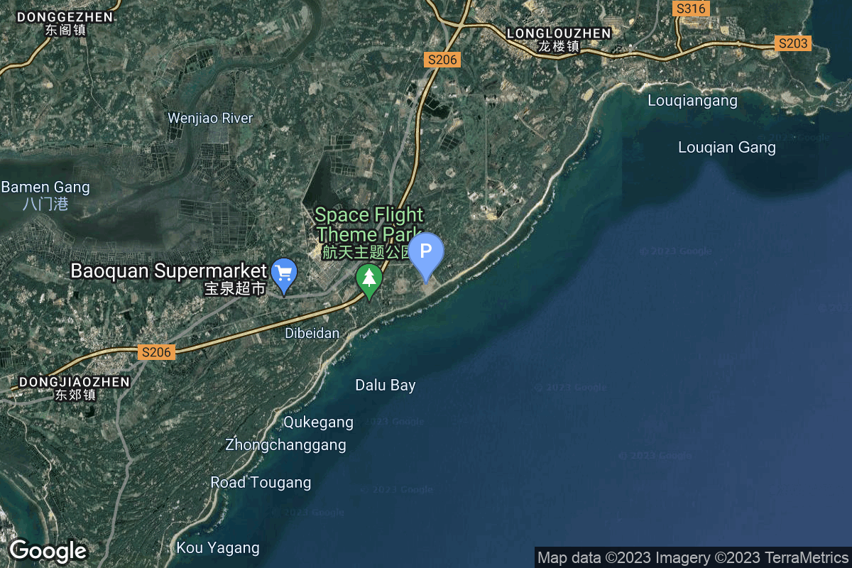
{ "count": 220, "next": "https://lldev.thespacedevs.com/2.2.0/pad/?format=api&limit=10&offset=10&ordering=-id", "previous": null, "results": [ { "id": 238, "url": "https://lldev.thespacedevs.com/2.2.0/pad/238/?format=api", "agency_id": 188, "name": "Eris Pad", "description": "Launch pad for Gilmour Space's orbital rocket Eris.", "info_url": null, "wiki_url": "https://en.wikipedia.org/wiki/Gilmour_Space_Technologies#Bowen_Orbital_Spaceport_(BOS)", "map_url": null, "latitude": "-19.958151", "longitude": "148.1129553", "location": { "id": 181, "url": "https://lldev.thespacedevs.com/2.2.0/location/181/?format=api", "name": "Bowen Orbital Spaceport", "country_code": "AUS", "description": "Private orbital launch facility owned and operated by Gilmour Space.", "map_image": "https://thespacedevs-prod.nyc3.digitaloceanspaces.com/media/map_images/location_bowen_orbital_spaceport_20250227073649.jpg", "timezone_name": "Australia/Brisbane", "total_launch_count": 0, "total_landing_count": 0 }, "country_code": "AUS", "map_image": "https://thespacedevs-prod.nyc3.digitaloceanspaces.com/media/map_images/pad_eris_pad_20250227074117.jpg", "total_launch_count": 0, "orbital_launch_attempt_count": 0 }, { "id": 237, "url": "https://lldev.thespacedevs.com/2.2.0/pad/237/?format=api", "agency_id": null, "name": "Unknown Pad", "description": "", "info_url": null, "wiki_url": "https://en.wikipedia.org/wiki/SaxaVord_Spaceport", "map_url": "https://www.google.com/maps?q=60.8184,-0.7692", "latitude": "60.8184", "longitude": "-0.7692", "location": { "id": 157, "url": "https://lldev.thespacedevs.com/2.2.0/location/157/?format=api", "name": "SaxaVord Spaceport", "country_code": "GBR", "description": "SaxaVord Spaceport is a UK spaceport located on the Lamba Ness peninsula on Unst, the most northerly of the inhabited Shetland Islands off the coast of Scotland. The site is near the RAF Saxa Vord radar station and the settlement of Skaw, adjacent to the Saxa Vord distillery.", "map_image": "https://thespacedevs-prod.nyc3.digitaloceanspaces.com/media/map_images/location_saxavord_spaceport_20211102161146.jpg", "timezone_name": "Europe/London", "total_launch_count": 0, "total_landing_count": 0 }, "country_code": "GBR", "map_image": "https://thespacedevs-prod.nyc3.digitaloceanspaces.com/media/map_images/pad_unknown_pad_20241227075133.jpg", "total_launch_count": 0, "orbital_launch_attempt_count": 0 }, { "id": 236, "url": "https://lldev.thespacedevs.com/2.2.0/pad/236/?format=api", "agency_id": null, "name": "Launch Complex 3C", "description": "Launch complex for the United States launch service provider Firefly Aerospace's Alpha launch vehicle at Esrange.", "info_url": null, "wiki_url": "https://en.wikipedia.org/wiki/Esrange#Satellite_launch_capability", "map_url": "https://www.google.com/maps?q=67.876724,21.166866", "latitude": "67.876724", "longitude": "21.166866", "location": { "id": 178, "url": "https://lldev.thespacedevs.com/2.2.0/location/178/?format=api", "name": "Esrange Space Center", "country_code": "SWE", "description": "Esrange Space Center is a rocket range and research centre located about 40 kilometers east of the town of Kiruna in northern Sweden. It is a base for scientific research with high-altitude balloons, investigation of the aurora borealis, sounding rocket launches, and satellite tracking. Built in 1964 by ESRO, one of the predecessors of the European Space Agency, the site is currently operated by the Swedish Space Corporation. An orbital launch complex, LC-3, has been built in the early 2020s.", "map_image": "https://thespacedevs-prod.nyc3.digitaloceanspaces.com/media/map_images/location_esrange_space_center_20241208021356.jpg", "timezone_name": "Europe/Stockholm", "total_launch_count": 0, "total_landing_count": 0 }, "country_code": "SWE", "map_image": "https://thespacedevs-prod.nyc3.digitaloceanspaces.com/media/map_images/pad_launch_complex_3c_20241208021831.jpg", "total_launch_count": 0, "orbital_launch_attempt_count": 0 }, { "id": 235, "url": "https://lldev.thespacedevs.com/2.2.0/pad/235/?format=api", "agency_id": 121, "name": "Orbital Launch Mount B", "description": "The second launch and landing pad of the full version of the combined SpaceX Starship and Superheavy booster. To be first used for launch in 2025.", "info_url": null, "wiki_url": "https://en.wikipedia.org/wiki/SpaceX_Starbase#Launch_site_(Orbital_Launch_Pad_A_and_B)", "map_url": "https://www.google.com/maps?q=25.996603,-97.158251", "latitude": "25.996603", "longitude": "-97.158251", "location": { "id": 143, "url": "https://lldev.thespacedevs.com/2.2.0/location/143/?format=api", "name": "SpaceX Starbase, TX, USA", "country_code": "USA", "description": "Starbase is an industrial complex for Starship rockets and the headquarters of the American aerospace manufacturer company SpaceX. Located near Brownsville, Texas, United States, it has been under construction since the late 2010s by SpaceX. Starbase is composed of a spaceport near the Gulf of Mexico, a production facility at the Boca Chica village, and a small structure test site along the Texas State Highway 4.", "map_image": "https://thespacedevs-prod.nyc3.digitaloceanspaces.com/media/map_images/location_143_20200803142438.jpg", "timezone_name": "America/Chicago", "total_launch_count": 18, "total_landing_count": 13 }, "country_code": "USA", "map_image": "https://thespacedevs-prod.nyc3.digitaloceanspaces.com/media/map_images/pad_orbital_launch_mount_b_20241126031254.jpg", "total_launch_count": 0, "orbital_launch_attempt_count": 0 }, { "id": 234, "url": "https://lldev.thespacedevs.com/2.2.0/pad/234/?format=api", "agency_id": 147, "name": "Rocket Lab Launch Complex 3 (Launch Area 0 D)", "description": "", "info_url": null, "wiki_url": null, "map_url": "https://www.google.com/maps?q=37.8321693,-75.4899046", "latitude": "37.8321693", "longitude": "-75.4899046", "location": { "id": 21, "url": "https://lldev.thespacedevs.com/2.2.0/location/21/?format=api", "name": "Wallops Flight Facility, Virginia, USA", "country_code": "USA", "description": "Wallops Flight Facility is a rocket launch site on Wallops Island on the Eastern Shore of Virginia, United States, just east of the Delmarva Peninsula and north-northeast of Norfolk. The facility is operated by the Goddard Space Flight Center in Greenbelt, Maryland, and primarily serves to support science and exploration missions for NASA and other federal agencies. WFF includes an extensively instrumented range to support launches of more than a dozen types of sounding rockets; small expendable suborbital and orbital rockets; high-altitude balloon flights carrying scientific instruments for atmospheric and astronomical research; and, using its Research Airport, flight tests of aeronautical research aircraft, including uncrewed aerial vehicles.", "map_image": "https://thespacedevs-prod.nyc3.digitaloceanspaces.com/media/map_images/location_21_20200803142423.jpg", "timezone_name": "America/New_York", "total_launch_count": 80, "total_landing_count": 0 }, "country_code": "USA", "map_image": "https://thespacedevs-prod.nyc3.digitaloceanspaces.com/media/map_images/pad_rocket_lab_launch_complex_3_2528launch_area_0_d2529_20241115175136.jpg", "total_launch_count": 0, "orbital_launch_attempt_count": 0 }, { "id": 222, "url": "https://lldev.thespacedevs.com/2.2.0/pad/222/?format=api", "agency_id": null, "name": "Commercial LC-3", "description": "", "info_url": null, "wiki_url": "https://en.wikipedia.org/wiki/Wenchang_Commercial_Space_Launch_Site", "map_url": "https://www.google.com/maps?q=19.5945793,110.9260013", "latitude": "19.5945793", "longitude": "110.9260013", "location": { "id": 8, "url": "https://lldev.thespacedevs.com/2.2.0/location/8/?format=api", "name": "Wenchang Space Launch Site, People's Republic of China", "country_code": "CHN", "description": "The Wenchang Space Launch Site is a rocket launch site located in Wenchang on the island of Hainan, in China.\r\n\r\nFormally a suborbital test center, it currently serves as China's southernmost spaceport. The site was selected for its low latitude, 19° north of the equator, allowing for larger payloads to be launched. It is capable of launching the Long March 5, the heaviest Chinese rocket. Unlike launch facilities on the mainland, Wenchang uses its seaport for deliveries.", "map_image": "https://thespacedevs-prod.nyc3.digitaloceanspaces.com/media/map_images/location_8_20200803142445.jpg", "timezone_name": "Asia/Shanghai", "total_launch_count": 39, "total_landing_count": 0 }, "country_code": "CHN", "map_image": "https://thespacedevs-prod.nyc3.digitaloceanspaces.com/media/map_images/pad_commercial_lc-3_20240627115237.jpg", "total_launch_count": 0, "orbital_launch_attempt_count": 0 }, { "id": 221, "url": "https://lldev.thespacedevs.com/2.2.0/pad/221/?format=api", "agency_id": 88, "name": "Oriental Spaceport mobile launch ship", "description": "", "info_url": null, "wiki_url": null, "map_url": "https://www.google.com/maps?q=35.391667%2C119.598667", "latitude": "35.391667", "longitude": "119.598667", "location": { "id": 3, "url": "https://lldev.thespacedevs.com/2.2.0/location/3/?format=api", "name": "Sea Launch", "country_code": "???", "description": "", "map_image": "https://thespacedevs-prod.nyc3.digitaloceanspaces.com/media/map_images/location_3_20200803142448.jpg", "timezone_name": "", "total_launch_count": 56, "total_landing_count": 0 }, "country_code": "CHN", "map_image": "https://thespacedevs-prod.nyc3.digitaloceanspaces.com/media/map_images/pad_oriental_spaceport_mobile_launch_ship_20240529085416.jpg", "total_launch_count": 3, "orbital_launch_attempt_count": 3 }, { "id": 220, "url": "https://lldev.thespacedevs.com/2.2.0/pad/220/?format=api", "agency_id": null, "name": "Space One Launch Pad", "description": "", "info_url": "https://www.space-one.co.jp/", "wiki_url": null, "map_url": null, "latitude": "33.544224", "longitude": "135.889502", "location": { "id": 166, "url": "https://lldev.thespacedevs.com/2.2.0/location/166/?format=api", "name": "Spaceport Kii, Japan", "country_code": "JPN", "description": "Spaceport Kii is a commercial spaceport located in Kushimoto, Wakayama Prefecture in Japan.", "map_image": "https://thespacedevs-prod.nyc3.digitaloceanspaces.com/media/map_images/location_space_port_kii252c_japan_20240126073749.jpg", "timezone_name": "Asia/Tokyo", "total_launch_count": 2, "total_landing_count": 0 }, "country_code": "JPN", "map_image": "https://thespacedevs-prod.nyc3.digitaloceanspaces.com/media/map_images/pad_space_one_launch_pad_20240126074332.jpg", "total_launch_count": 2, "orbital_launch_attempt_count": 2 }, { "id": 219, "url": "https://lldev.thespacedevs.com/2.2.0/pad/219/?format=api", "agency_id": null, "name": "Commercial LC-2", "description": "", "info_url": null, "wiki_url": "https://en.wikipedia.org/wiki/Wenchang_Commercial_Space_Launch_Site", "map_url": "https://www.google.com/maps?q=19.59755,110.936481", "latitude": "19.59755", "longitude": "110.936481", "location": { "id": 8, "url": "https://lldev.thespacedevs.com/2.2.0/location/8/?format=api", "name": "Wenchang Space Launch Site, People's Republic of China", "country_code": "CHN", "description": "The Wenchang Space Launch Site is a rocket launch site located in Wenchang on the island of Hainan, in China.\r\n\r\nFormally a suborbital test center, it currently serves as China's southernmost spaceport. The site was selected for its low latitude, 19° north of the equator, allowing for larger payloads to be launched. It is capable of launching the Long March 5, the heaviest Chinese rocket. Unlike launch facilities on the mainland, Wenchang uses its seaport for deliveries.", "map_image": "https://thespacedevs-prod.nyc3.digitaloceanspaces.com/media/map_images/location_8_20200803142445.jpg", "timezone_name": "Asia/Shanghai", "total_launch_count": 39, "total_landing_count": 0 }, "country_code": "CHN", "map_image": "https://thespacedevs-prod.nyc3.digitaloceanspaces.com/media/map_images/pad_commercial_lc-2_20231225074048.jpg", "total_launch_count": 1, "orbital_launch_attempt_count": 1 }, { "id": 218, "url": "https://lldev.thespacedevs.com/2.2.0/pad/218/?format=api", "agency_id": null, "name": "Commercial LC-1", "description": "", "info_url": null, "wiki_url": "https://en.wikipedia.org/wiki/Wenchang_Commercial_Space_Launch_Site", "map_url": "https://www.google.com/maps?q=19.597275,110.930753", "latitude": "19.597275", "longitude": "110.930753", "location": { "id": 8, "url": "https://lldev.thespacedevs.com/2.2.0/location/8/?format=api", "name": "Wenchang Space Launch Site, People's Republic of China", "country_code": "CHN", "description": "The Wenchang Space Launch Site is a rocket launch site located in Wenchang on the island of Hainan, in China.\r\n\r\nFormally a suborbital test center, it currently serves as China's southernmost spaceport. The site was selected for its low latitude, 19° north of the equator, allowing for larger payloads to be launched. It is capable of launching the Long March 5, the heaviest Chinese rocket. Unlike launch facilities on the mainland, Wenchang uses its seaport for deliveries.", "map_image": "https://thespacedevs-prod.nyc3.digitaloceanspaces.com/media/map_images/location_8_20200803142445.jpg", "timezone_name": "Asia/Shanghai", "total_launch_count": 39, "total_landing_count": 0 }, "country_code": "CHN", "map_image": "https://thespacedevs-prod.nyc3.digitaloceanspaces.com/media/map_images/pad_commercial_lc-1_20231225074041.jpg", "total_launch_count": 1, "orbital_launch_attempt_count": 1 } ] }