Pad List
API endpoint that allows Location instances to be viewed.
GET: Return a list of all the existing location instances.
FILTERS: Parameters - 'id', 'agency_id', 'name', 'name__contains', 'latitude', 'latitude__contains', 'longitude', 'longitude__contains', 'location__name', 'location__name__contains', 'location__id', 'orbital_launch_attempt_count', 'total_launch_count'
ORDERING: Fields - 'id', 'name', 'location__id', 'location__name', 'orbital_launch_attempt_count', 'total_launch_count'
Example - /2.2.0/pad/?ordering=location__name
GET /2.2.0/pad/?format=api&offset=90&ordering=total_launch_count
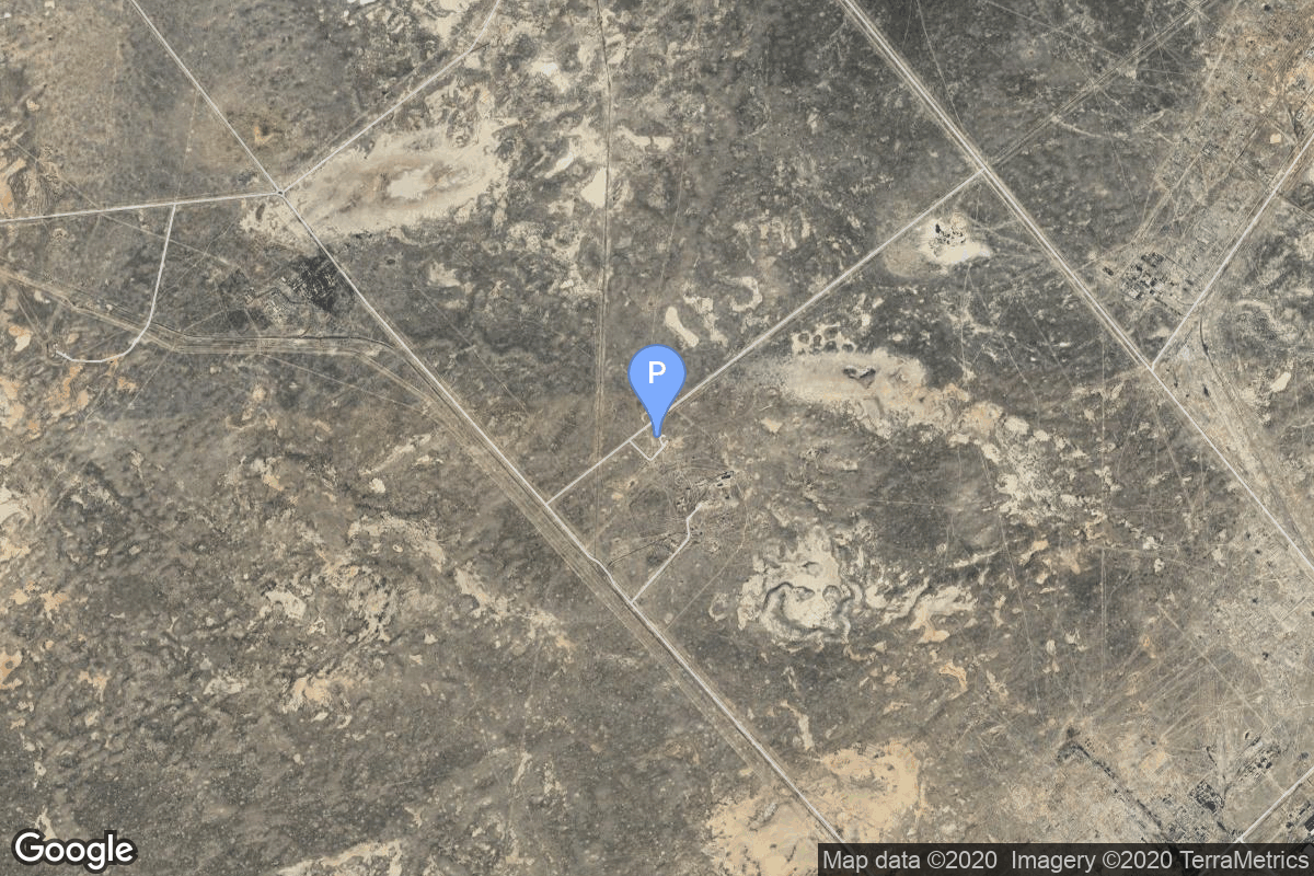
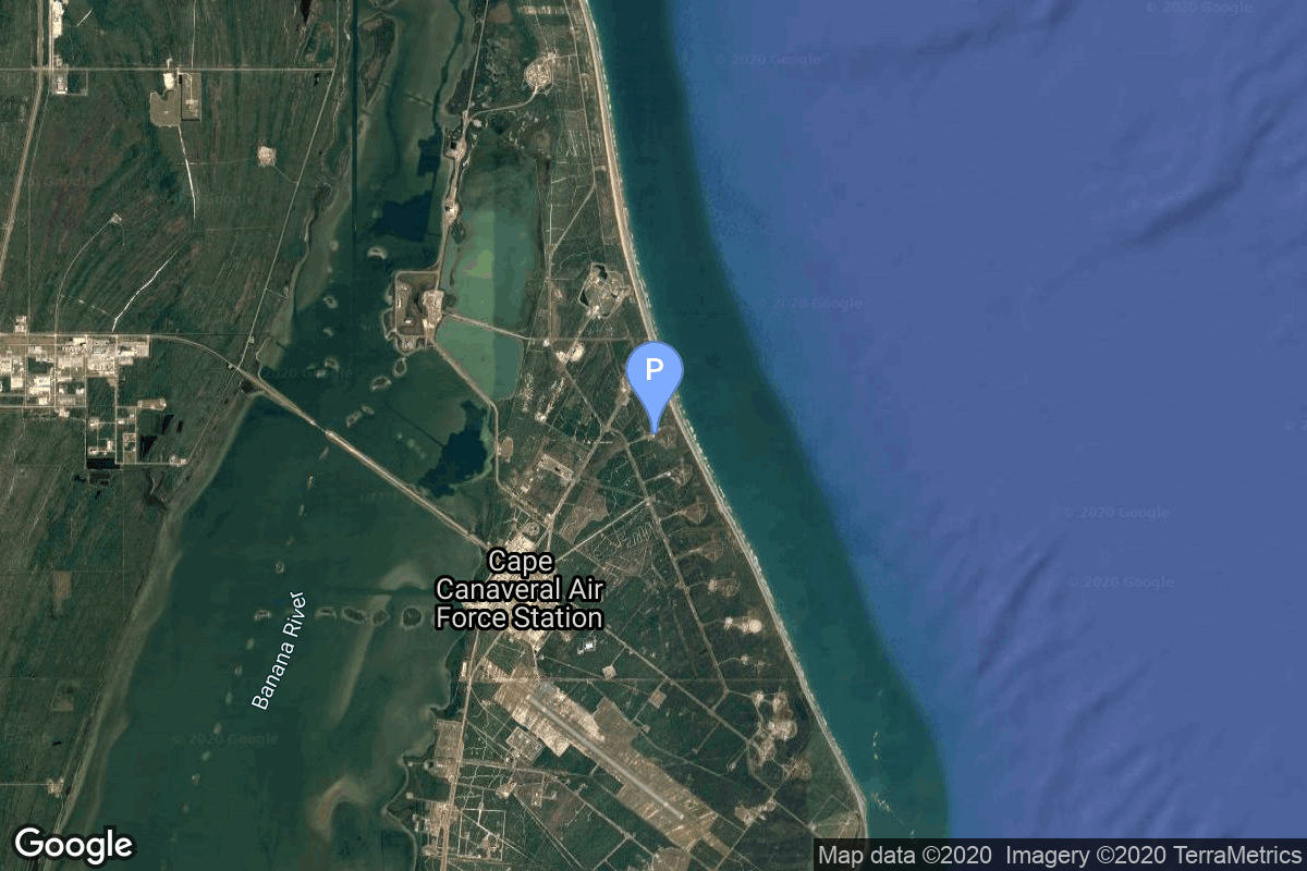
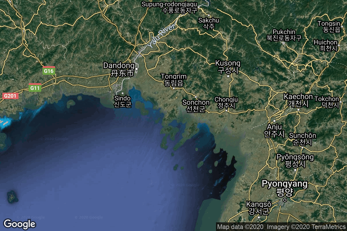
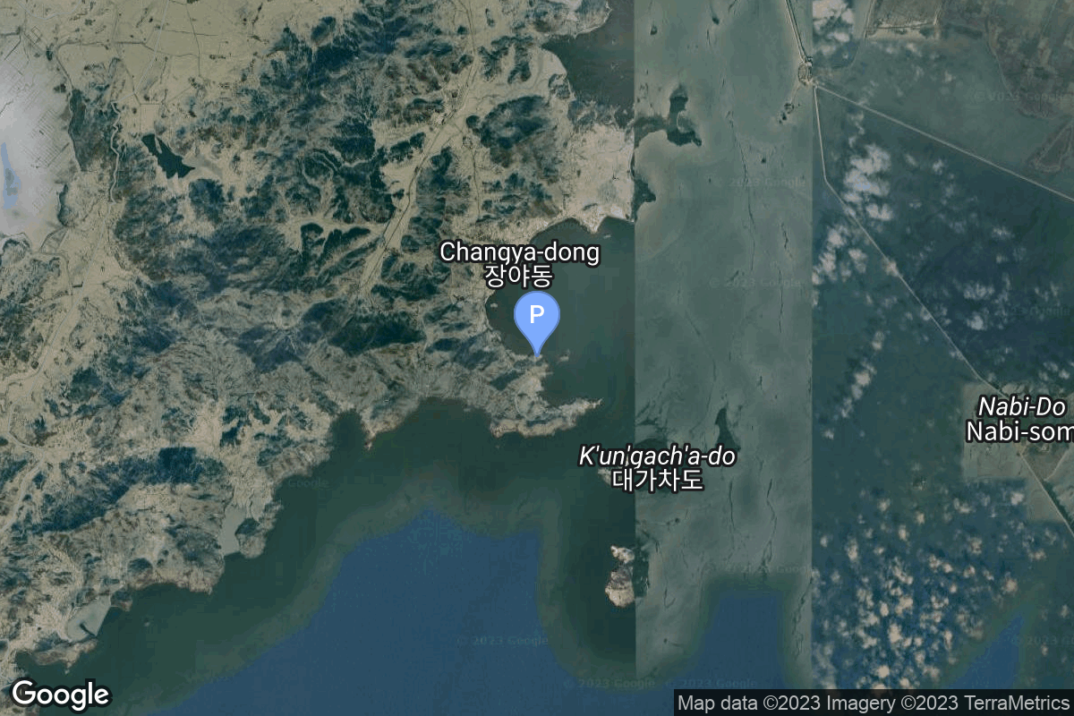
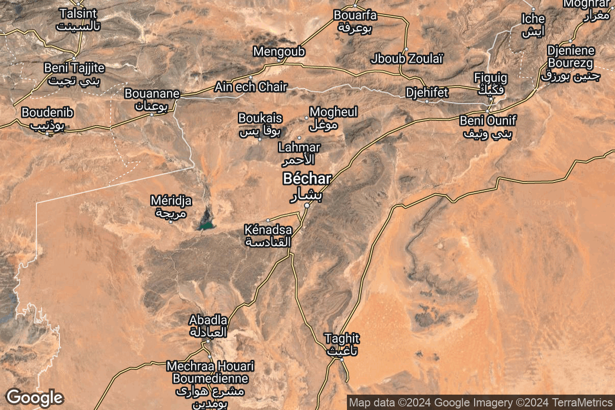
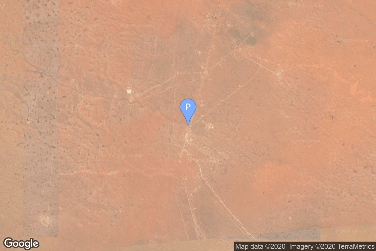
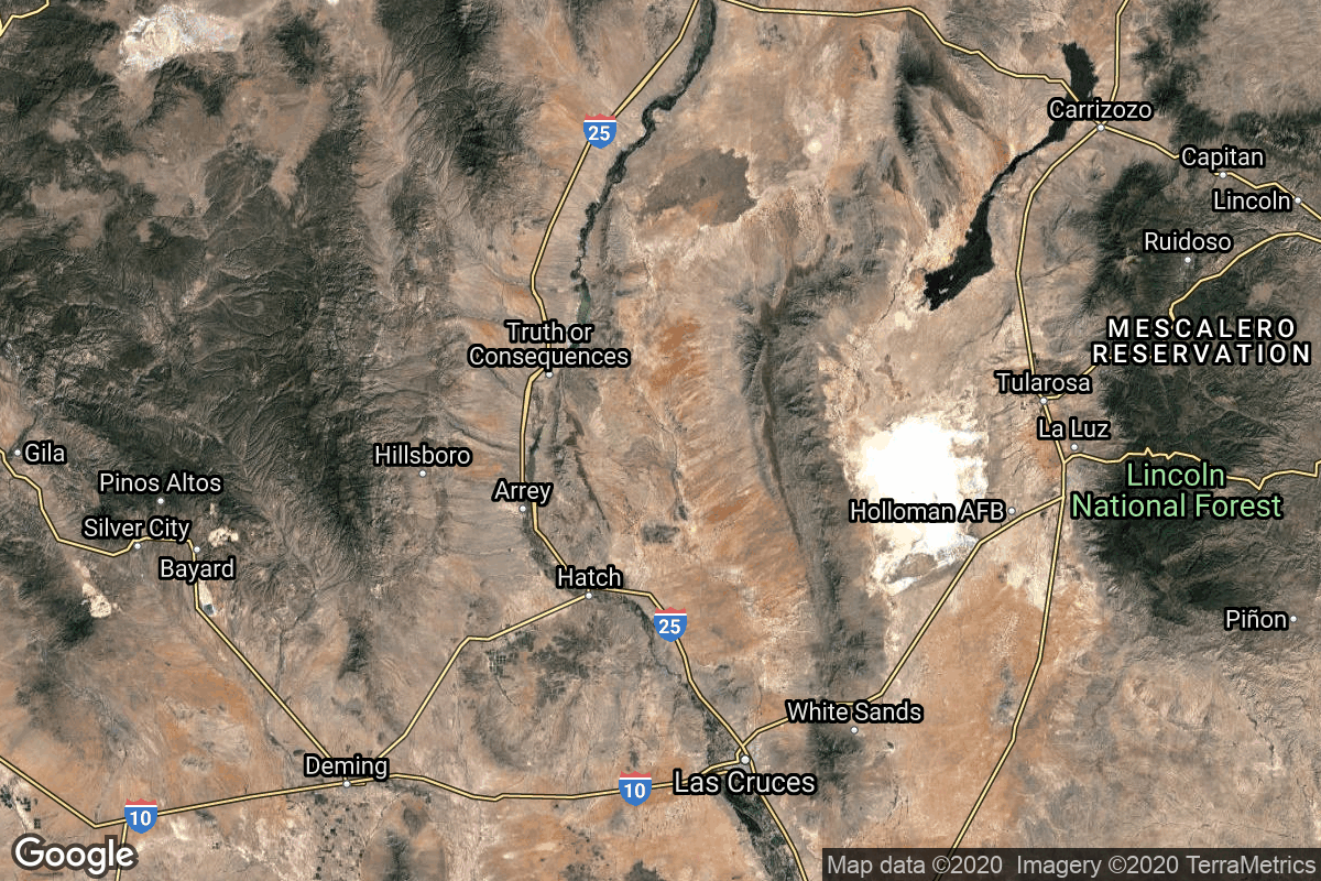
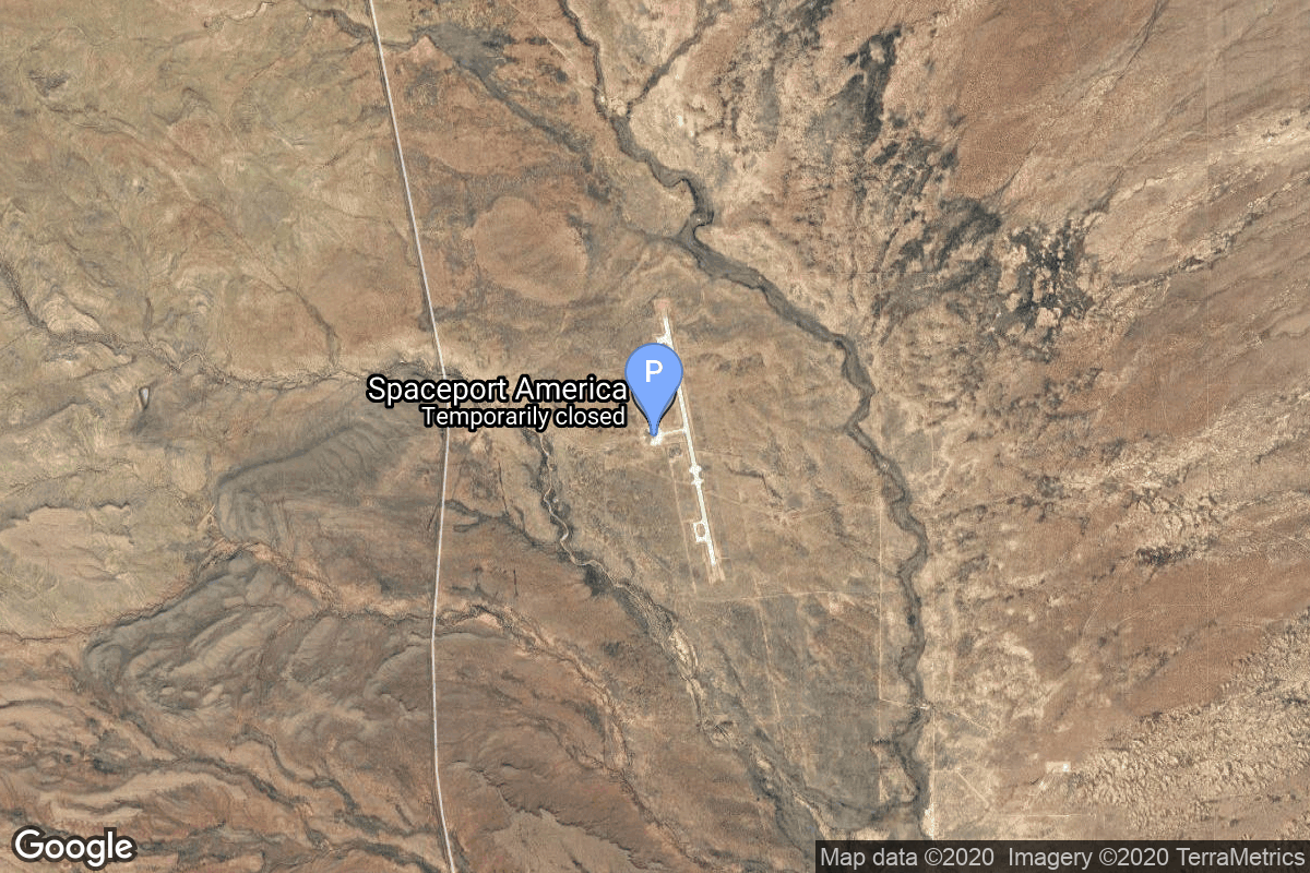
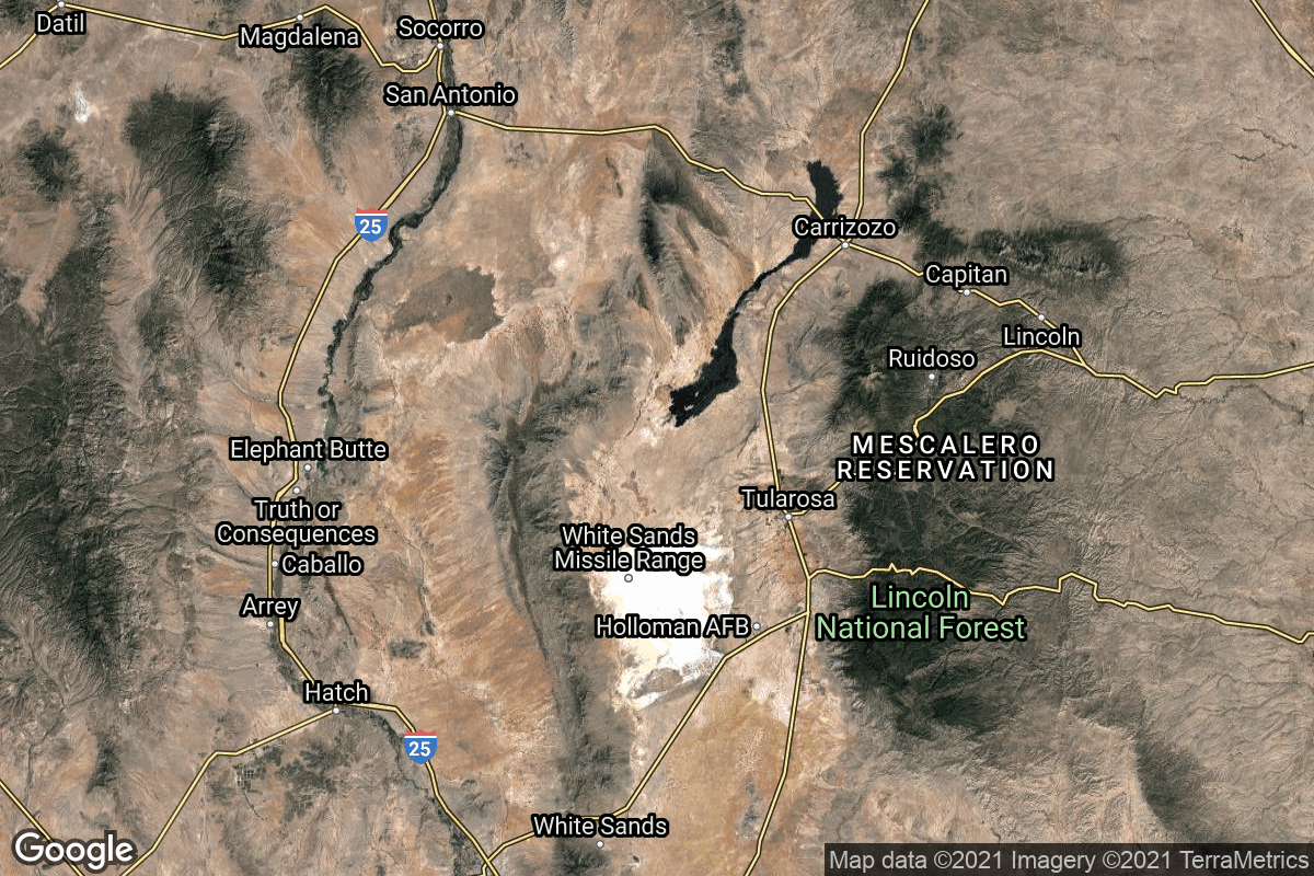
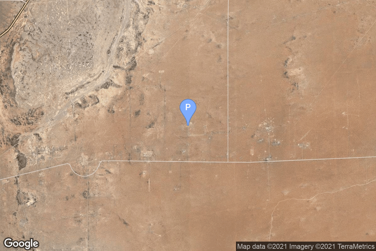
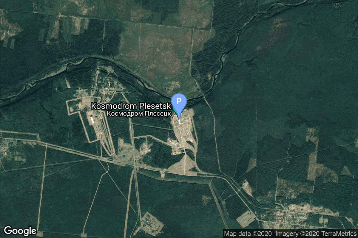
{ "count": 220, "next": "https://lldev.thespacedevs.com/2.2.0/pad/?format=api&limit=10&offset=100&ordering=total_launch_count", "previous": "https://lldev.thespacedevs.com/2.2.0/pad/?format=api&limit=10&offset=80&ordering=total_launch_count", "results": [ { "id": 162, "url": "https://lldev.thespacedevs.com/2.2.0/pad/162/?format=api", "agency_id": null, "name": "191/66", "description": null, "info_url": null, "wiki_url": "https://en.wikipedia.org/wiki/Baikonur_Cosmodrome", "map_url": "https://www.google.com/maps?q=45.97,63.194806", "latitude": "45.97", "longitude": "63.194806", "location": { "id": 15, "url": "https://lldev.thespacedevs.com/2.2.0/location/15/?format=api", "name": "Baikonur Cosmodrome, Republic of Kazakhstan", "country_code": "KAZ", "description": "The Baikonur Cosmodrome is a spaceport operated by Russia within Kazakhstan. Located in the Kazakh city of Baikonur, it is the largest operational space launch facility in terms of area. All Russian crewed spaceflights are launched from Baikonur.", "map_image": "https://thespacedevs-prod.nyc3.digitaloceanspaces.com/media/map_images/location_15_20200803142517.jpg", "timezone_name": "Asia/Qyzylorda", "total_launch_count": 1555, "total_landing_count": 0 }, "country_code": "KAZ", "map_image": "https://thespacedevs-prod.nyc3.digitaloceanspaces.com/media/map_images/pad_162_20200803143506.jpg", "total_launch_count": 4, "orbital_launch_attempt_count": 4 }, { "id": 59, "url": "https://lldev.thespacedevs.com/2.2.0/pad/59/?format=api", "agency_id": null, "name": "Kwajalein Atoll", "description": null, "info_url": null, "wiki_url": "https://en.wikipedia.org/wiki/Kwajalein_Atoll", "map_url": "https://www.google.com/maps?q=8.716667,167.733333", "latitude": "8.716667", "longitude": "167.733333", "location": { "id": 20, "url": "https://lldev.thespacedevs.com/2.2.0/location/20/?format=api", "name": "Air launch to orbit", "country_code": "???", "description": "", "map_image": "https://thespacedevs-prod.nyc3.digitaloceanspaces.com/media/map_images/location_20_20200803142433.jpg", "timezone_name": "", "total_launch_count": 51, "total_landing_count": 0 }, "country_code": "MHL", "map_image": "https://thespacedevs-prod.nyc3.digitaloceanspaces.com/media/map_images/pad_59_20200803143427.jpg", "total_launch_count": 4, "orbital_launch_attempt_count": 4 }, { "id": 120, "url": "https://lldev.thespacedevs.com/2.2.0/pad/120/?format=api", "agency_id": 161, "name": "Space Launch Complex 20", "description": null, "info_url": null, "wiki_url": "https://en.wikipedia.org/wiki/Cape_Canaveral_Space_Launch_Complex_20", "map_url": "https://www.google.com/maps?q=28.5122222,-80.5588607", "latitude": "28.5122222", "longitude": "-80.5588607", "location": { "id": 12, "url": "https://lldev.thespacedevs.com/2.2.0/location/12/?format=api", "name": "Cape Canaveral SFS, FL, USA", "country_code": "USA", "description": "Cape Canaveral Space Force Station (CCSFS) is an installation of the United States Space Force's Space Launch Delta 45, located on Cape Canaveral in Brevard County, Florida.", "map_image": "https://thespacedevs-prod.nyc3.digitaloceanspaces.com/media/map_images/location_12_20200803142519.jpg", "timezone_name": "America/New_York", "total_launch_count": 1031, "total_landing_count": 64 }, "country_code": "USA", "map_image": "https://thespacedevs-prod.nyc3.digitaloceanspaces.com/media/map_images/pad_120_20200803143230.jpg", "total_launch_count": 4, "orbital_launch_attempt_count": 4 }, { "id": 208, "url": "https://lldev.thespacedevs.com/2.2.0/pad/208/?format=api", "agency_id": null, "name": "Malligyong-1 Pad", "description": "", "info_url": null, "wiki_url": null, "map_url": "https://goo.gl/maps/DgkrTCHCsAcw1CWR7", "latitude": "39.652861", "longitude": "124.736639", "location": { "id": 7, "url": "https://lldev.thespacedevs.com/2.2.0/location/7/?format=api", "name": "Sohae Satellite Launching Station, Cholsan County, North Pyongan Province, Democratic People's Republic of Korea", "country_code": "PRK", "description": "Sohae Satellite Launching Station is a rocket launching site in Tongch'ang-ri, Cholsan County, North Pyongan Province, North Korea. The base is located among hills close to the northern border with China. The spaceport was built on the site of the village Pongdong-ri which was displaced during construction.", "map_image": "https://thespacedevs-prod.nyc3.digitaloceanspaces.com/media/map_images/location_7_20200803142414.jpg", "timezone_name": "Asia/Pyongyang", "total_launch_count": 7, "total_landing_count": 0 }, "country_code": "PRK", "map_image": "https://thespacedevs-prod.nyc3.digitaloceanspaces.com/media/map_images/pad_unknown_pad_prk_2023_20230601125308.jpg", "total_launch_count": 4, "orbital_launch_attempt_count": 4 }, { "id": 141, "url": "https://lldev.thespacedevs.com/2.2.0/pad/141/?format=api", "agency_id": null, "name": "Brigitte", "description": null, "info_url": null, "wiki_url": "https://en.wikipedia.org/wiki/Hammaguir", "map_url": "https://www.google.com/maps?q=30.7787318,-3.0669721", "latitude": "30.7787318", "longitude": "-3.0669721", "location": { "id": 147, "url": "https://lldev.thespacedevs.com/2.2.0/location/147/?format=api", "name": "Interarmy Special Vehicles Test Centre, French Algeria", "country_code": "FRA", "description": "The Centre Interarmées d'Essais d'Engins Spéciaux was France's first space launch and ballistic missile testing facility. Outside France, the facility is often referred to by the name of the nearest town, Hammaguir. It was established on 24 April 1947, by ministerial decree as the Special Weapons Test Center (CEES, Centre d'essais d'engins spéciaux) for use by the French Army. In 1948, it was turned over to the French Air Force, who renamed it CIEES. Its remote location in the middle of the Saharan Desert and its relative closeness to the Equator (compared with Metropolitan France) made it an attractive launch site for missiles and orbital rockets.", "map_image": "https://thespacedevs-prod.nyc3.digitaloceanspaces.com/media/map_images/location_147_20240808092142.jpg", "timezone_name": "Africa/Algiers", "total_launch_count": 4, "total_landing_count": 0 }, "country_code": "FRA", "map_image": "https://thespacedevs-prod.nyc3.digitaloceanspaces.com/media/map_images/pad_141_20200803143211.jpg", "total_launch_count": 4, "orbital_launch_attempt_count": 4 }, { "id": 212, "url": "https://lldev.thespacedevs.com/2.2.0/pad/212/?format=api", "agency_id": 88, "name": "Haiyang Spaceport", "description": "Sea-based spaceport", "info_url": null, "wiki_url": null, "map_url": null, "latitude": "36.676794", "longitude": "121.235103", "location": { "id": 3, "url": "https://lldev.thespacedevs.com/2.2.0/location/3/?format=api", "name": "Sea Launch", "country_code": "???", "description": "", "map_image": "https://thespacedevs-prod.nyc3.digitaloceanspaces.com/media/map_images/location_3_20200803142448.jpg", "timezone_name": "", "total_launch_count": 56, "total_landing_count": 0 }, "country_code": "CHN", "map_image": "https://thespacedevs-prod.nyc3.digitaloceanspaces.com/media/map_images/pad_haiyang_spaceport_20230827174240.jpg", "total_launch_count": 4, "orbital_launch_attempt_count": 4 }, { "id": 105, "url": "https://lldev.thespacedevs.com/2.2.0/pad/105/?format=api", "agency_id": 1001, "name": "Vertical Launch Area", "description": null, "info_url": null, "wiki_url": null, "map_url": "https://www.google.com/maps?q=32.9901856,-106.9750602", "latitude": "32.9901856", "longitude": "-106.9750602", "location": { "id": 31, "url": "https://lldev.thespacedevs.com/2.2.0/location/31/?format=api", "name": "Spaceport America, NM, USA", "country_code": "USA", "description": "Spaceport America is an FAA-licensed spaceport located in the Jornada del Muerto desert basin north of Las Cruces, New Mexico, and southeast of Truth or Consequences. With Virgin Galactic's launch of the VSS Unity, with three people aboard, on May 22, 2021, New Mexico became the third US state to launch humans into space after California and Florida.", "map_image": "https://thespacedevs-prod.nyc3.digitaloceanspaces.com/media/map_images/location_31_20200803142505.jpg", "timezone_name": "America/Denver", "total_launch_count": 4, "total_landing_count": 4 }, "country_code": "USA", "map_image": "https://thespacedevs-prod.nyc3.digitaloceanspaces.com/media/map_images/pad_105_20200803143432.jpg", "total_launch_count": 4, "orbital_launch_attempt_count": 0 }, { "id": 172, "url": "https://lldev.thespacedevs.com/2.2.0/pad/172/?format=api", "agency_id": null, "name": "576A2", "description": "The very first Atlas D operational ICBM sites, these were above ground with open support towers. These missiles were on alert from 31 October 1959 until 1 May 1964. After going off alert in 1964, Alpha 1 and 2 were used by the USAF for Atlas satellite rocket launches until 1974", "info_url": null, "wiki_url": "https://en.wikipedia.org/wiki/Vandenberg_Air_Force_Base_Launch_Complex_576", "map_url": "https://www.google.com/maps?q=34.7394444,-120.6213607", "latitude": "34.7394444", "longitude": "-120.6213607", "location": { "id": 11, "url": "https://lldev.thespacedevs.com/2.2.0/location/11/?format=api", "name": "Vandenberg SFB, CA, USA", "country_code": "USA", "description": "Vandenberg Space Force Base is a United States Space Force Base in Santa Barbara County, California. Established in 1941, Vandenberg Space Force Base is a space launch base, launching spacecraft from the Western Range, and also performs missile testing. The United States Space Force's Space Launch Delta 30 serves as the host delta for the base, equivalent to an Air Force air base wing. In addition to its military space launch mission, Vandenberg Space Force Base also hosts space launches for civil and commercial space entities, such as NASA and SpaceX.", "map_image": "https://thespacedevs-prod.nyc3.digitaloceanspaces.com/media/map_images/location_11_20200803142416.jpg", "timezone_name": "America/Los_Angeles", "total_launch_count": 814, "total_landing_count": 26 }, "country_code": "USA", "map_image": "https://thespacedevs-prod.nyc3.digitaloceanspaces.com/media/map_images/pad_172_20200803143419.jpg", "total_launch_count": 4, "orbital_launch_attempt_count": 4 }, { "id": 194, "url": "https://lldev.thespacedevs.com/2.2.0/pad/194/?format=api", "agency_id": 165, "name": "Launch Complex 36", "description": null, "info_url": null, "wiki_url": "https://en.wikipedia.org/wiki/White_Sands_Launch_Complex_36", "map_url": "https://www.google.com/maps?q=32.416944,-106.321944", "latitude": "32.416944", "longitude": "-106.321944", "location": { "id": 155, "url": "https://lldev.thespacedevs.com/2.2.0/location/155/?format=api", "name": "White Sands Missile Range", "country_code": "USA", "description": "White Sands Missile Range is a United States Army military testing area and firing range located in the US state of New Mexico. The range was originally established in 1941 as the Alamogordo Bombing and Gunnery Range, where the Trinity test site lay at the northern end of the Range, in Socorro County near the towns of Carrizozo and San Antonio. It then became the White Sands Proving Ground on 9 July 1945.", "map_image": "https://thespacedevs-prod.nyc3.digitaloceanspaces.com/media/map_images/location_white_sands_missile_range_20210901072636.jpg", "timezone_name": "America/Denver", "total_launch_count": 5, "total_landing_count": 0 }, "country_code": "USA", "map_image": "https://thespacedevs-prod.nyc3.digitaloceanspaces.com/media/map_images/pad_launch_complex_36_20210901072730.jpg", "total_launch_count": 5, "orbital_launch_attempt_count": 0 }, { "id": 9, "url": "https://lldev.thespacedevs.com/2.2.0/pad/9/?format=api", "agency_id": 259, "name": "Launch Area 96", "description": "", "info_url": null, "wiki_url": "https://en.wikipedia.org/wiki/LandSpace", "map_url": "https://www.google.com/maps?q=40.91491,100.245488", "latitude": "40.91491", "longitude": "100.245488", "location": { "id": 17, "url": "https://lldev.thespacedevs.com/2.2.0/location/17/?format=api", "name": "Jiuquan Satellite Launch Center, People's Republic of China", "country_code": "CHN", "description": "Jiuquan Satellite Launch Center is a Chinese spaceport located between the Ejin, Alxa, Inner Mongolia and Hangtian Town, Jinta County, Jiuquan, Gansu Province. It is part of the Dongfeng Aerospace City (Base 10).", "map_image": "https://thespacedevs-prod.nyc3.digitaloceanspaces.com/media/map_images/location_17_20200803142429.jpg", "timezone_name": "Asia/Shanghai", "total_launch_count": 253, "total_landing_count": 0 }, "country_code": "CHN", "map_image": "https://thespacedevs-prod.nyc3.digitaloceanspaces.com/media/map_images/pad_9_20200803143341.jpg", "total_launch_count": 5, "orbital_launch_attempt_count": 5 } ] }