Pad List
API endpoint that allows Location instances to be viewed.
GET: Return a list of all the existing location instances.
FILTERS: Parameters - 'id', 'agency_id', 'name', 'name__contains', 'latitude', 'latitude__contains', 'longitude', 'longitude__contains', 'location__name', 'location__name__contains', 'location__id', 'orbital_launch_attempt_count', 'total_launch_count'
ORDERING: Fields - 'id', 'name', 'location__id', 'location__name', 'orbital_launch_attempt_count', 'total_launch_count'
Example - /2.2.0/pad/?ordering=location__name
GET /2.2.0/pad/?format=api&offset=80&ordering=-name
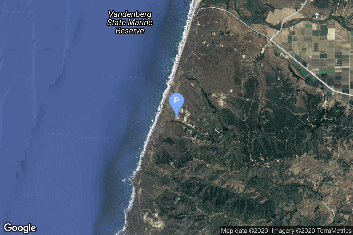
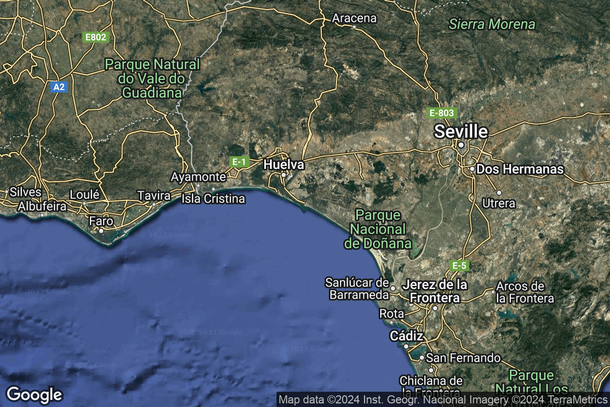
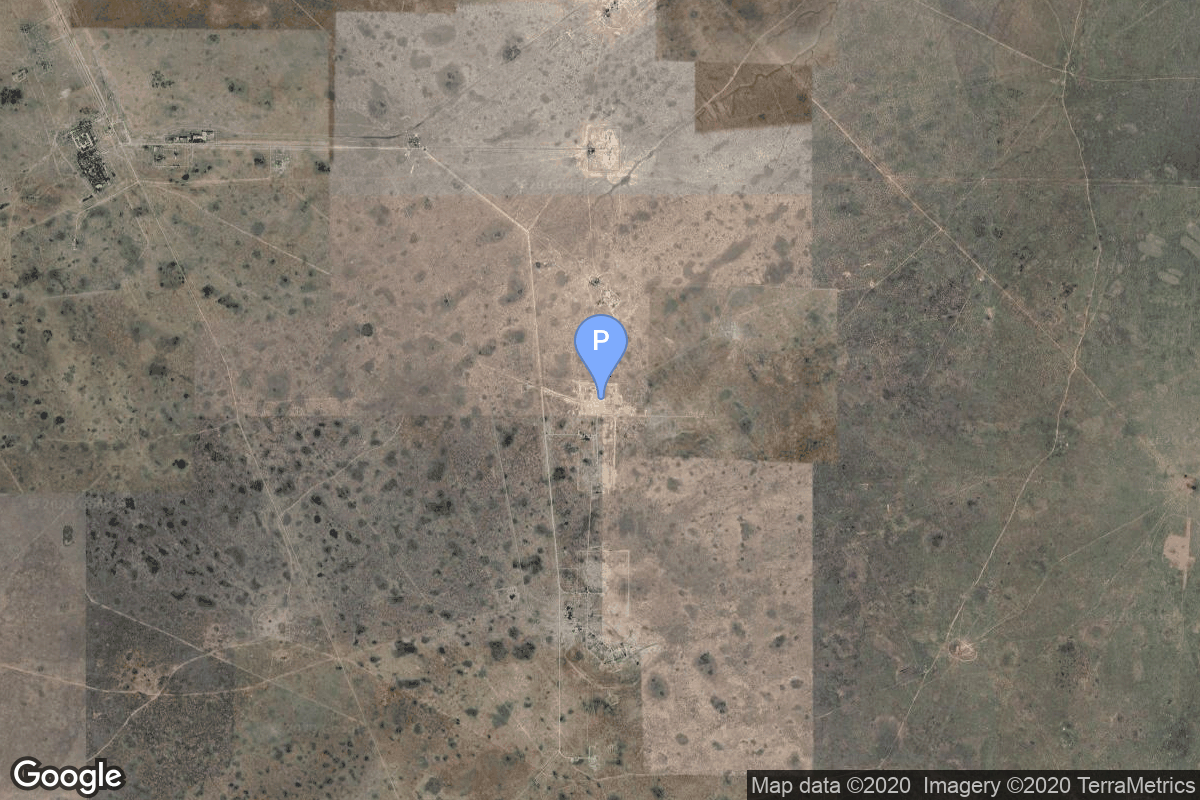
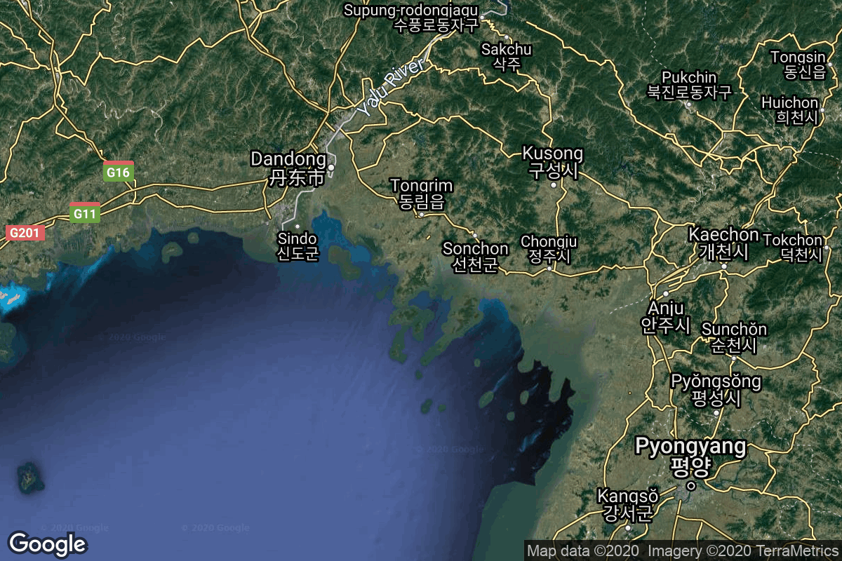
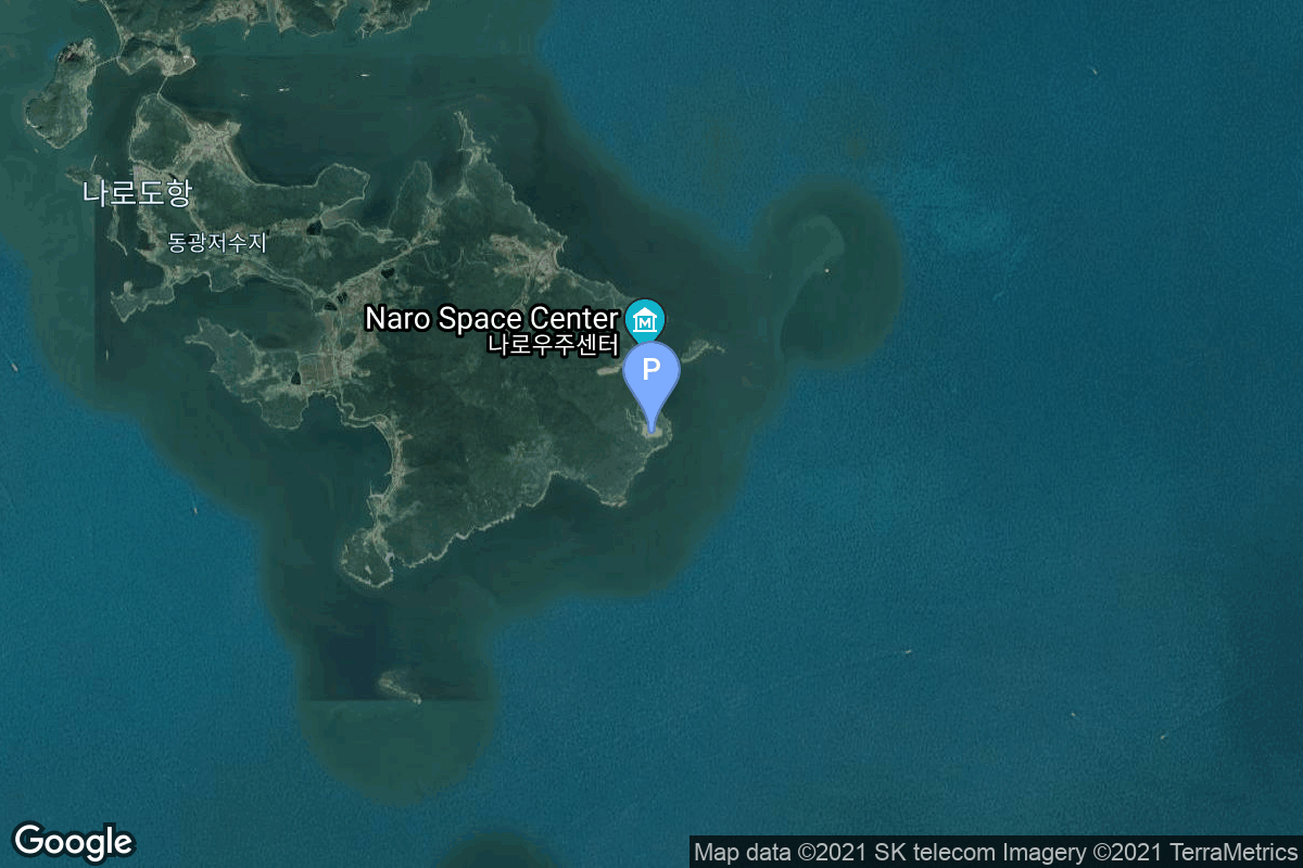
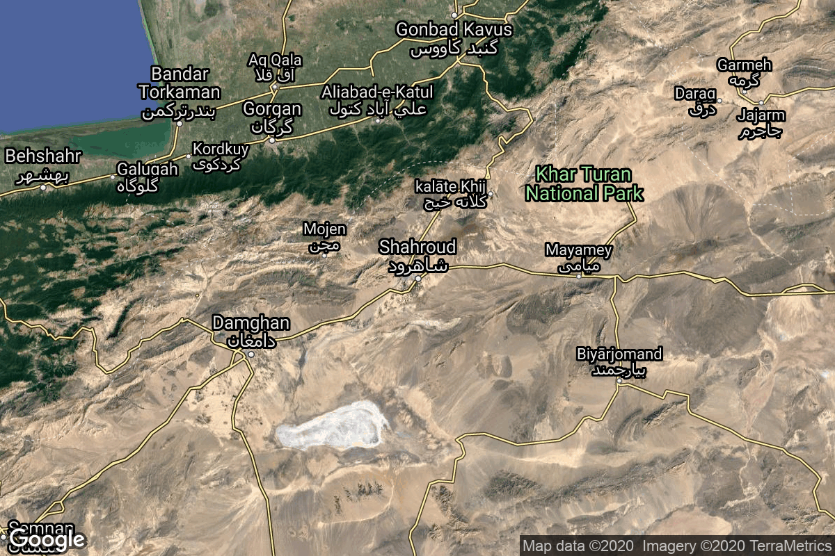
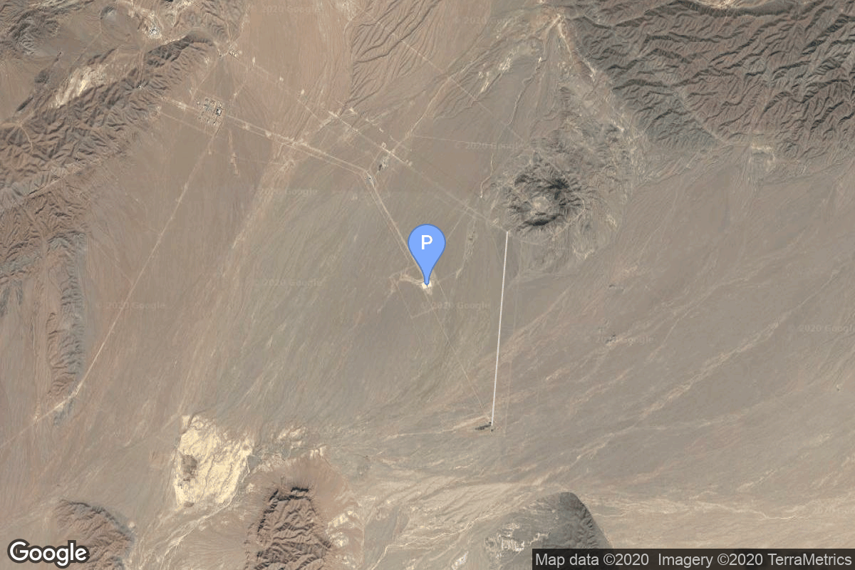
{ "count": 220, "next": "https://lldev.thespacedevs.com/2.2.0/pad/?format=api&limit=10&offset=90&ordering=-name", "previous": "https://lldev.thespacedevs.com/2.2.0/pad/?format=api&limit=10&offset=70&ordering=-name", "results": [ { "id": 158, "url": "https://lldev.thespacedevs.com/2.2.0/pad/158/?format=api", "agency_id": null, "name": "Mobile Launcher Pad", "description": null, "info_url": null, "wiki_url": "https://en.wikipedia.org/wiki/Taiyuan_Satellite_Launch_Center", "map_url": "https://www.google.com/maps?q=38.890002,111.608129", "latitude": "38.890002", "longitude": "111.608129", "location": { "id": 19, "url": "https://lldev.thespacedevs.com/2.2.0/location/19/?format=api", "name": "Taiyuan Satellite Launch Center, People's Republic of China", "country_code": "CHN", "description": "The Taiyuan Satellite Launch Center is a People's Republic of China space and defense launch facility. It is situated in Kelan County, Xinzhou, Shanxi Province and is the second of four launch sites having been founded in March 1966 and coming into full operation in 1968.", "map_image": "https://thespacedevs-prod.nyc3.digitaloceanspaces.com/media/map_images/location_19_20200803142421.jpg", "timezone_name": "Asia/Shanghai", "total_launch_count": 142, "total_landing_count": 0 }, "country_code": "CHN", "map_image": "https://thespacedevs-prod.nyc3.digitaloceanspaces.com/media/map_images/pad_158_20200803143440.jpg", "total_launch_count": 2, "orbital_launch_attempt_count": 2 }, { "id": 157, "url": "https://lldev.thespacedevs.com/2.2.0/pad/157/?format=api", "agency_id": null, "name": "Mobile Launcher Pad", "description": null, "info_url": null, "wiki_url": "https://en.wikipedia.org/wiki/Xichang_Satellite_Launch_Center", "map_url": "https://www.google.com/maps?q=28.242774,102.032944", "latitude": "28.242774", "longitude": "102.032944", "location": { "id": 16, "url": "https://lldev.thespacedevs.com/2.2.0/location/16/?format=api", "name": "Xichang Satellite Launch Center, People's Republic of China", "country_code": "CHN", "description": "The Xichang Satellite Launch Center is a spaceport in China. It is located in Zeyuan Town, northwest of Xichang, Liangshan Yi Autonomous Prefecture in Sichuan.", "map_image": "https://thespacedevs-prod.nyc3.digitaloceanspaces.com/media/map_images/location_16_20200803142513.jpg", "timezone_name": "Asia/Shanghai", "total_launch_count": 227, "total_landing_count": 0 }, "country_code": "CHN", "map_image": "https://thespacedevs-prod.nyc3.digitaloceanspaces.com/media/map_images/pad_157_20200803143359.jpg", "total_launch_count": 7, "orbital_launch_attempt_count": 7 }, { "id": 207, "url": "https://lldev.thespacedevs.com/2.2.0/pad/207/?format=api", "agency_id": null, "name": "Médano del Loro", "description": null, "info_url": null, "wiki_url": "https://en.wikipedia.org/wiki/El_Arenosillo", "map_url": null, "latitude": "37.09687", "longitude": "-6.73863", "location": { "id": 163, "url": "https://lldev.thespacedevs.com/2.2.0/location/163/?format=api", "name": "El Arenosillo Test Centre", "country_code": "ESP", "description": "El Arenosillo Test Centre is the name of a rocket launch site managed by INTA, located in Moguer, Spain. It is located in the province of Huelva, Andalucía, on the southwest coast of Spain.", "map_image": "https://thespacedevs-prod.nyc3.digitaloceanspaces.com/media/map_images/location_163_20240111100612.jpg", "timezone_name": "Europe/Madrid", "total_launch_count": 1, "total_landing_count": 0 }, "country_code": "ESP", "map_image": "https://thespacedevs-prod.nyc3.digitaloceanspaces.com/media/map_images/pad_miura_1_pad_20230530101735.jpg", "total_launch_count": 1, "orbital_launch_attempt_count": 0 }, { "id": 100, "url": "https://lldev.thespacedevs.com/2.2.0/pad/100/?format=api", "agency_id": null, "name": "Mayak-2", "description": null, "info_url": null, "wiki_url": null, "map_url": "https://www.google.com/maps?q=48.569551,46.295814", "latitude": "48.569551", "longitude": "46.295814", "location": { "id": 30, "url": "https://lldev.thespacedevs.com/2.2.0/location/30/?format=api", "name": "Kapustin Yar, Russian Federation", "country_code": "RUS", "description": "Kapustin Yar is a Russian military training area and a rocket launch complex in Astrakhan Oblast, about 100 km east of Volgograd. It was established by the Soviet Union on 13 May 1946. In the beginning, Kapustin Yar used technology, material, and scientific support gained from the defeat of Germany in World War II. Numerous launches of test rockets for the Russian military were carried out at the site, as well as satellite and sounding rocket launches.", "map_image": "https://thespacedevs-prod.nyc3.digitaloceanspaces.com/media/map_images/location_30_20200803142515.jpg", "timezone_name": "Europe/Volgograd", "total_launch_count": 101, "total_landing_count": 0 }, "country_code": "RUS", "map_image": "https://thespacedevs-prod.nyc3.digitaloceanspaces.com/media/map_images/pad_100_20200803143212.jpg", "total_launch_count": 24, "orbital_launch_attempt_count": 24 }, { "id": 208, "url": "https://lldev.thespacedevs.com/2.2.0/pad/208/?format=api", "agency_id": null, "name": "Malligyong-1 Pad", "description": "", "info_url": null, "wiki_url": null, "map_url": "https://goo.gl/maps/DgkrTCHCsAcw1CWR7", "latitude": "39.652861", "longitude": "124.736639", "location": { "id": 7, "url": "https://lldev.thespacedevs.com/2.2.0/location/7/?format=api", "name": "Sohae Satellite Launching Station, Cholsan County, North Pyongan Province, Democratic People's Republic of Korea", "country_code": "PRK", "description": "Sohae Satellite Launching Station is a rocket launching site in Tongch'ang-ri, Cholsan County, North Pyongan Province, North Korea. The base is located among hills close to the northern border with China. The spaceport was built on the site of the village Pongdong-ri which was displaced during construction.", "map_image": "https://thespacedevs-prod.nyc3.digitaloceanspaces.com/media/map_images/location_7_20200803142414.jpg", "timezone_name": "Asia/Pyongyang", "total_launch_count": 7, "total_landing_count": 0 }, "country_code": "PRK", "map_image": "https://thespacedevs-prod.nyc3.digitaloceanspaces.com/media/map_images/pad_unknown_pad_prk_2023_20230601125308.jpg", "total_launch_count": 4, "orbital_launch_attempt_count": 4 }, { "id": 63, "url": "https://lldev.thespacedevs.com/2.2.0/pad/63/?format=api", "agency_id": 166, "name": "LP-41", "description": null, "info_url": null, "wiki_url": "https://en.wikipedia.org/wiki/Pacific_Missile_Range_Facility", "map_url": "https://www.google.com/maps?q=21.982029,-159.759328", "latitude": "21.982029", "longitude": "-159.759328", "location": { "id": 1, "url": "https://lldev.thespacedevs.com/2.2.0/location/1/?format=api", "name": "Pacific Missile Range Facility, Barking Sands, HI, USA", "country_code": "USA", "description": "The Pacific Missile Range Facility, Barking Sands is a U.S. naval facility and airport located five nautical miles (9 km) northwest of the central business district of Kekaha, in Kauai County, Hawaii, United States.", "map_image": "https://thespacedevs-prod.nyc3.digitaloceanspaces.com/media/map_images/location_1_20200803142427.jpg", "timezone_name": "Pacific/Honolulu", "total_launch_count": 1, "total_landing_count": 0 }, "country_code": "USA", "map_image": "https://thespacedevs-prod.nyc3.digitaloceanspaces.com/media/map_images/pad_63_20200803143308.jpg", "total_launch_count": 1, "orbital_launch_attempt_count": 1 }, { "id": 192, "url": "https://lldev.thespacedevs.com/2.2.0/pad/192/?format=api", "agency_id": 41, "name": "LC-2", "description": "", "info_url": null, "wiki_url": "https://en.wikipedia.org/wiki/Naro_Space_Center", "map_url": "https://www.google.com/maps?q=34.431867,127.535069", "latitude": "34.431867", "longitude": "127.535069", "location": { "id": 9, "url": "https://lldev.thespacedevs.com/2.2.0/location/9/?format=api", "name": "Naro Space Center, South Korea", "country_code": "KOR", "description": "The Naro Space Center is a South Korean spaceport in South Jeolla's Goheung County, operated by the state-run Korea Aerospace Research Institute.", "map_image": "https://thespacedevs-prod.nyc3.digitaloceanspaces.com/media/map_images/location_9_20200803142441.jpg", "timezone_name": "Asia/Seoul", "total_launch_count": 7, "total_landing_count": 0 }, "country_code": "KOR", "map_image": "https://thespacedevs-prod.nyc3.digitaloceanspaces.com/media/map_images/pad_lc-2_20210812070305.jpg", "total_launch_count": 4, "orbital_launch_attempt_count": 3 }, { "id": 64, "url": "https://lldev.thespacedevs.com/2.2.0/pad/64/?format=api", "agency_id": 41, "name": "LC-1", "description": null, "info_url": null, "wiki_url": "https://en.wikipedia.org/wiki/Naro_Space_Center", "map_url": "https://www.google.com/maps?q=34.431867,127.535069", "latitude": "34.431867", "longitude": "127.535069", "location": { "id": 9, "url": "https://lldev.thespacedevs.com/2.2.0/location/9/?format=api", "name": "Naro Space Center, South Korea", "country_code": "KOR", "description": "The Naro Space Center is a South Korean spaceport in South Jeolla's Goheung County, operated by the state-run Korea Aerospace Research Institute.", "map_image": "https://thespacedevs-prod.nyc3.digitaloceanspaces.com/media/map_images/location_9_20200803142441.jpg", "timezone_name": "Asia/Seoul", "total_launch_count": 7, "total_landing_count": 0 }, "country_code": "KOR", "map_image": "https://thespacedevs-prod.nyc3.digitaloceanspaces.com/media/map_images/pad_64_20200803143347.jpg", "total_launch_count": 3, "orbital_launch_attempt_count": 3 }, { "id": 13, "url": "https://lldev.thespacedevs.com/2.2.0/pad/13/?format=api", "agency_id": 80, "name": "Launch Platform Odyssey", "description": "", "info_url": null, "wiki_url": "https://en.wikipedia.org/wiki/Odyssey_(launch_platform)", "map_url": "https://www.google.com/maps?q=0.0,-154", "latitude": "0.0", "longitude": "-154.0", "location": { "id": 3, "url": "https://lldev.thespacedevs.com/2.2.0/location/3/?format=api", "name": "Sea Launch", "country_code": "???", "description": "", "map_image": "https://thespacedevs-prod.nyc3.digitaloceanspaces.com/media/map_images/location_3_20200803142448.jpg", "timezone_name": "", "total_launch_count": 56, "total_landing_count": 0 }, "country_code": "", "map_image": "https://thespacedevs-prod.nyc3.digitaloceanspaces.com/media/map_images/pad_13_20200803143257.jpg", "total_launch_count": 36, "orbital_launch_attempt_count": 36 }, { "id": 115, "url": "https://lldev.thespacedevs.com/2.2.0/pad/115/?format=api", "agency_id": null, "name": "Launch Platform", "description": null, "info_url": null, "wiki_url": null, "map_url": "https://www.google.com/maps?q=36.200595,55.333939", "latitude": "36.200595", "longitude": "55.333939", "location": { "id": 145, "url": "https://lldev.thespacedevs.com/2.2.0/location/145/?format=api", "name": "Shahrud Missile Test Site, Islamic Republic of Iran", "country_code": "IRN", "description": "Shahroud Space Center is a Military Spaceport under control of the Islamic Revolutionary Guard Corps Aerospace Force (IRGCASF) located south-east of Shahroud Semnan Province, used to orbit military satellites for Iran's military space program.", "map_image": "https://thespacedevs-prod.nyc3.digitaloceanspaces.com/media/map_images/location_145_20200803142443.jpg", "timezone_name": "Asia/Tehran", "total_launch_count": 6, "total_landing_count": 0 }, "country_code": "IRN", "map_image": "https://thespacedevs-prod.nyc3.digitaloceanspaces.com/media/map_images/pad_115_20200803143303.jpg", "total_launch_count": 6, "orbital_launch_attempt_count": 6 } ] }