Pad List
API endpoint that allows Location instances to be viewed.
GET: Return a list of all the existing location instances.
FILTERS: Parameters - 'id', 'agency_id', 'name', 'name__contains', 'latitude', 'latitude__contains', 'longitude', 'longitude__contains', 'location__name', 'location__name__contains', 'location__id', 'orbital_launch_attempt_count', 'total_launch_count'
ORDERING: Fields - 'id', 'name', 'location__id', 'location__name', 'orbital_launch_attempt_count', 'total_launch_count'
Example - /2.2.0/pad/?ordering=location__name
GET /2.2.0/pad/?format=api&offset=80&ordering=-location__name
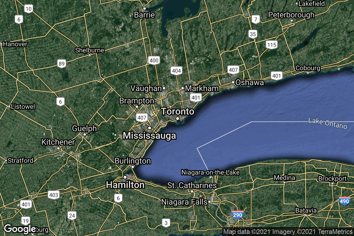
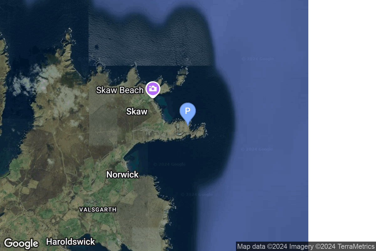
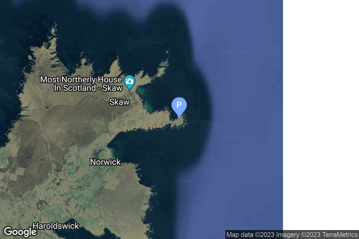
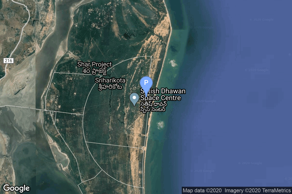
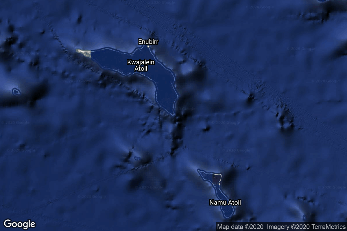
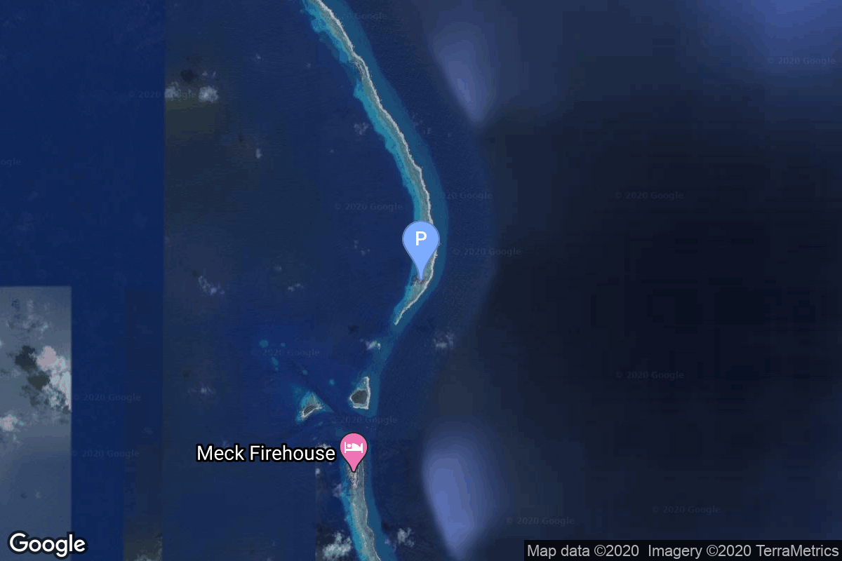
{ "count": 220, "next": "https://lldev.thespacedevs.com/2.2.0/pad/?format=api&limit=10&offset=90&ordering=-location__name", "previous": "https://lldev.thespacedevs.com/2.2.0/pad/?format=api&limit=10&offset=70&ordering=-location__name", "results": [ { "id": 186, "url": "https://lldev.thespacedevs.com/2.2.0/pad/186/?format=api", "agency_id": 88, "name": "Tai Rui mobile launch platform", "description": null, "info_url": null, "wiki_url": null, "map_url": "https://www.google.com/maps?q=34.899444,121.190278", "latitude": "34.899444", "longitude": "121.190278", "location": { "id": 3, "url": "https://lldev.thespacedevs.com/2.2.0/location/3/?format=api", "name": "Sea Launch", "country_code": "???", "description": "", "map_image": "https://thespacedevs-prod.nyc3.digitaloceanspaces.com/media/map_images/location_3_20200803142448.jpg", "timezone_name": "", "total_launch_count": 56, "total_landing_count": 0 }, "country_code": "CHN", "map_image": "https://thespacedevs-prod.nyc3.digitaloceanspaces.com/media/map_images/pad_long_march_11_launch_platform_20200901183938.jpg", "total_launch_count": 3, "orbital_launch_attempt_count": 3 }, { "id": 237, "url": "https://lldev.thespacedevs.com/2.2.0/pad/237/?format=api", "agency_id": null, "name": "Unknown Pad", "description": "", "info_url": null, "wiki_url": "https://en.wikipedia.org/wiki/SaxaVord_Spaceport", "map_url": "https://www.google.com/maps?q=60.8184,-0.7692", "latitude": "60.8184", "longitude": "-0.7692", "location": { "id": 157, "url": "https://lldev.thespacedevs.com/2.2.0/location/157/?format=api", "name": "SaxaVord Spaceport", "country_code": "GBR", "description": "SaxaVord Spaceport is a UK spaceport located on the Lamba Ness peninsula on Unst, the most northerly of the inhabited Shetland Islands off the coast of Scotland. The site is near the RAF Saxa Vord radar station and the settlement of Skaw, adjacent to the Saxa Vord distillery.", "map_image": "https://thespacedevs-prod.nyc3.digitaloceanspaces.com/media/map_images/location_saxavord_spaceport_20211102161146.jpg", "timezone_name": "Europe/London", "total_launch_count": 0, "total_landing_count": 0 }, "country_code": "GBR", "map_image": "https://thespacedevs-prod.nyc3.digitaloceanspaces.com/media/map_images/pad_unknown_pad_20241227075133.jpg", "total_launch_count": 0, "orbital_launch_attempt_count": 0 }, { "id": 205, "url": "https://lldev.thespacedevs.com/2.2.0/pad/205/?format=api", "agency_id": 1045, "name": "Launch Pad Fredo", "description": null, "info_url": "https://saxavord.com/", "wiki_url": "https://en.wikipedia.org/wiki/SaxaVord_Spaceport", "map_url": "https://www.google.com/maps?q=60.81736038715111,-0.7626391593025057", "latitude": "60.81736038715111", "longitude": "-0.7626391593025057", "location": { "id": 157, "url": "https://lldev.thespacedevs.com/2.2.0/location/157/?format=api", "name": "SaxaVord Spaceport", "country_code": "GBR", "description": "SaxaVord Spaceport is a UK spaceport located on the Lamba Ness peninsula on Unst, the most northerly of the inhabited Shetland Islands off the coast of Scotland. The site is near the RAF Saxa Vord radar station and the settlement of Skaw, adjacent to the Saxa Vord distillery.", "map_image": "https://thespacedevs-prod.nyc3.digitaloceanspaces.com/media/map_images/location_saxavord_spaceport_20211102161146.jpg", "timezone_name": "Europe/London", "total_launch_count": 0, "total_landing_count": 0 }, "country_code": "GBR", "map_image": "https://thespacedevs-prod.nyc3.digitaloceanspaces.com/media/map_images/pad_launch_pad_fredo_20230112225206.jpg", "total_launch_count": 0, "orbital_launch_attempt_count": 0 }, { "id": 214, "url": "https://lldev.thespacedevs.com/2.2.0/pad/214/?format=api", "agency_id": null, "name": "Launch Pad Elizabeth", "description": "Named after the late Queen Elizabeth II, the pad will support launch operations of US-based launchers.\r\n\r\nIt is located at the most northern tip of the UK, allowing for extra security control to meet ITAR regulations.", "info_url": null, "wiki_url": null, "map_url": null, "latitude": null, "longitude": null, "location": { "id": 157, "url": "https://lldev.thespacedevs.com/2.2.0/location/157/?format=api", "name": "SaxaVord Spaceport", "country_code": "GBR", "description": "SaxaVord Spaceport is a UK spaceport located on the Lamba Ness peninsula on Unst, the most northerly of the inhabited Shetland Islands off the coast of Scotland. The site is near the RAF Saxa Vord radar station and the settlement of Skaw, adjacent to the Saxa Vord distillery.", "map_image": "https://thespacedevs-prod.nyc3.digitaloceanspaces.com/media/map_images/location_saxavord_spaceport_20211102161146.jpg", "timezone_name": "Europe/London", "total_launch_count": 0, "total_landing_count": 0 }, "country_code": "GBR", "map_image": "https://thespacedevs-prod.nyc3.digitaloceanspaces.com/media/map_images/pad_launch_pad_elizabeth_20231013025957.jpg", "total_launch_count": 0, "orbital_launch_attempt_count": 0 }, { "id": 213, "url": "https://lldev.thespacedevs.com/2.2.0/pad/213/?format=api", "agency_id": null, "name": "Launch Pad Callum", "description": "Multi-user launch pad located at SaxaVord Spaceport. Users include Skyrora, HyImpulse and Isar Aerospace.", "info_url": null, "wiki_url": null, "map_url": null, "latitude": null, "longitude": null, "location": { "id": 157, "url": "https://lldev.thespacedevs.com/2.2.0/location/157/?format=api", "name": "SaxaVord Spaceport", "country_code": "GBR", "description": "SaxaVord Spaceport is a UK spaceport located on the Lamba Ness peninsula on Unst, the most northerly of the inhabited Shetland Islands off the coast of Scotland. The site is near the RAF Saxa Vord radar station and the settlement of Skaw, adjacent to the Saxa Vord distillery.", "map_image": "https://thespacedevs-prod.nyc3.digitaloceanspaces.com/media/map_images/location_saxavord_spaceport_20211102161146.jpg", "timezone_name": "Europe/London", "total_launch_count": 0, "total_landing_count": 0 }, "country_code": "GBR", "map_image": "https://thespacedevs-prod.nyc3.digitaloceanspaces.com/media/map_images/pad_launch_pad_callum_20231013025800.jpg", "total_launch_count": 0, "orbital_launch_attempt_count": 0 }, { "id": 50, "url": "https://lldev.thespacedevs.com/2.2.0/pad/50/?format=api", "agency_id": 31, "name": "Satish Dhawan Space Centre First Launch Pad", "description": "India has two launch pads at the site. The First Launch Pad, operational since 1993, is used for Polar Satellite Launch Vehicle, Small Satellite Launch Vehicle and formerly used by Geosynchronous Satellite Launch Vehicle.", "info_url": null, "wiki_url": "https://en.wikipedia.org/wiki/Satish_Dhawan_Space_Centre_First_Launch_Pad", "map_url": "https://www.google.com/maps?q=13.733,80.235", "latitude": "13.733", "longitude": "80.235", "location": { "id": 14, "url": "https://lldev.thespacedevs.com/2.2.0/location/14/?format=api", "name": "Satish Dhawan Space Centre, India", "country_code": "IND", "description": "Satish Dhawan Space Centre – SDSC (formerly Sriharikota Range – SHAR),[1] is the primary spaceport of the Indian Space Research Organisation (ISRO), located in Sriharikota, Andhra Pradesh.", "map_image": "https://thespacedevs-prod.nyc3.digitaloceanspaces.com/media/map_images/location_14_20200803142403.jpg", "timezone_name": "Asia/Kolkata", "total_launch_count": 99, "total_landing_count": 0 }, "country_code": "IND", "map_image": "https://thespacedevs-prod.nyc3.digitaloceanspaces.com/media/map_images/pad_50_20200803143457.jpg", "total_launch_count": 62, "orbital_launch_attempt_count": 61 }, { "id": 40, "url": "https://lldev.thespacedevs.com/2.2.0/pad/40/?format=api", "agency_id": 31, "name": "SLV-3 Launch Pad", "description": "The SLV3 Launch Pad, began operation in 1979 and was decommissioned in 1994. It was used by two launch vehicles of the ISRO: the Satellite Launch Vehicle (SLV) and the Augmented Satellite Launch Vehicle (ASLV) Initially it was built for launching SLV-3s but was later also used as an ASLV launch complex.", "info_url": null, "wiki_url": "https://en.wikipedia.org/wiki/Satish_Dhawan_Space_Centre_SLV_Launch_Pad", "map_url": "https://www.google.com/maps?q=13.666193,80.227231", "latitude": "13.666193", "longitude": "80.227231", "location": { "id": 14, "url": "https://lldev.thespacedevs.com/2.2.0/location/14/?format=api", "name": "Satish Dhawan Space Centre, India", "country_code": "IND", "description": "Satish Dhawan Space Centre – SDSC (formerly Sriharikota Range – SHAR),[1] is the primary spaceport of the Indian Space Research Organisation (ISRO), located in Sriharikota, Andhra Pradesh.", "map_image": "https://thespacedevs-prod.nyc3.digitaloceanspaces.com/media/map_images/location_14_20200803142403.jpg", "timezone_name": "Asia/Kolkata", "total_launch_count": 99, "total_landing_count": 0 }, "country_code": "IND", "map_image": "https://thespacedevs-prod.nyc3.digitaloceanspaces.com/media/map_images/pad_40_20200803143325.jpg", "total_launch_count": 8, "orbital_launch_attempt_count": 8 }, { "id": 82, "url": "https://lldev.thespacedevs.com/2.2.0/pad/82/?format=api", "agency_id": 31, "name": "Satish Dhawan Space Centre Second Launch Pad", "description": "The second launch pad was built between 1999 and 2003. It became functional in 2005 and has since been used for various rockets. This launch pad supports missions by PSLV, GSLV, LVM3 rockets and is even envisioned for India's future crewed spaceflight.", "info_url": null, "wiki_url": "https://en.wikipedia.org/wiki/Satish_Dhawan_Space_Centre_Second_Launch_Pad", "map_url": "https://www.google.com/maps?q=13.7199,80.2304", "latitude": "13.7199", "longitude": "80.2304", "location": { "id": 14, "url": "https://lldev.thespacedevs.com/2.2.0/location/14/?format=api", "name": "Satish Dhawan Space Centre, India", "country_code": "IND", "description": "Satish Dhawan Space Centre – SDSC (formerly Sriharikota Range – SHAR),[1] is the primary spaceport of the Indian Space Research Organisation (ISRO), located in Sriharikota, Andhra Pradesh.", "map_image": "https://thespacedevs-prod.nyc3.digitaloceanspaces.com/media/map_images/location_14_20200803142403.jpg", "timezone_name": "Asia/Kolkata", "total_launch_count": 99, "total_landing_count": 0 }, "country_code": "IND", "map_image": "https://thespacedevs-prod.nyc3.digitaloceanspaces.com/media/map_images/pad_82_20200803143602.jpg", "total_launch_count": 29, "orbital_launch_attempt_count": 28 }, { "id": 73, "url": "https://lldev.thespacedevs.com/2.2.0/pad/73/?format=api", "agency_id": null, "name": "Unknown Pad", "description": "There is more then one possible pad for this launch.", "info_url": null, "wiki_url": null, "map_url": "https://www.google.com/maps?q=13.733,80.235", "latitude": "13.733", "longitude": "80.235", "location": { "id": 14, "url": "https://lldev.thespacedevs.com/2.2.0/location/14/?format=api", "name": "Satish Dhawan Space Centre, India", "country_code": "IND", "description": "Satish Dhawan Space Centre – SDSC (formerly Sriharikota Range – SHAR),[1] is the primary spaceport of the Indian Space Research Organisation (ISRO), located in Sriharikota, Andhra Pradesh.", "map_image": "https://thespacedevs-prod.nyc3.digitaloceanspaces.com/media/map_images/location_14_20200803142403.jpg", "timezone_name": "Asia/Kolkata", "total_launch_count": 99, "total_landing_count": 0 }, "country_code": "IND", "map_image": "https://thespacedevs-prod.nyc3.digitaloceanspaces.com/media/map_images/pad_73_20200803143531.jpg", "total_launch_count": 0, "orbital_launch_attempt_count": 0 }, { "id": 107, "url": "https://lldev.thespacedevs.com/2.2.0/pad/107/?format=api", "agency_id": null, "name": "Omelek Island", "description": null, "info_url": null, "wiki_url": "https://en.wikipedia.org/wiki/Omelek_Island", "map_url": "https://www.google.com/maps?q=9.047861,167.743", "latitude": "9.047861", "longitude": "167.743", "location": { "id": 142, "url": "https://lldev.thespacedevs.com/2.2.0/location/142/?format=api", "name": "Ronald Reagan Ballistic Missile Defense Test Site, Kwajalein Atoll, Marshall Islands", "country_code": "MHL", "description": "The Ronald Reagan Ballistic Missile Defense Test Site is a missile test range in Marshall Islands. It covers about 750,000 square miles (1,900,000 km2) and includes rocket launch sites at the Kwajalein Atoll (on multiple islands), Wake Island, and Aur Atoll. It primarily functions as a test facility for U.S. missile defense and space research programs.", "map_image": "https://thespacedevs-prod.nyc3.digitaloceanspaces.com/media/map_images/location_142_20200803142511.jpg", "timezone_name": "Pacific/Tarawa", "total_launch_count": 5, "total_landing_count": 0 }, "country_code": "MHL", "map_image": "https://thespacedevs-prod.nyc3.digitaloceanspaces.com/media/map_images/pad_107_20200803143450.jpg", "total_launch_count": 5, "orbital_launch_attempt_count": 5 } ] }