Pad List
API endpoint that allows Location instances to be viewed.
GET: Return a list of all the existing location instances.
FILTERS: Parameters - 'id', 'agency_id', 'name', 'name__contains', 'latitude', 'latitude__contains', 'longitude', 'longitude__contains', 'location__name', 'location__name__contains', 'location__id', 'orbital_launch_attempt_count', 'total_launch_count'
ORDERING: Fields - 'id', 'name', 'location__id', 'location__name', 'orbital_launch_attempt_count', 'total_launch_count'
Example - /2.2.0/pad/?ordering=location__name
GET /2.2.0/pad/?format=api&offset=50&ordering=name
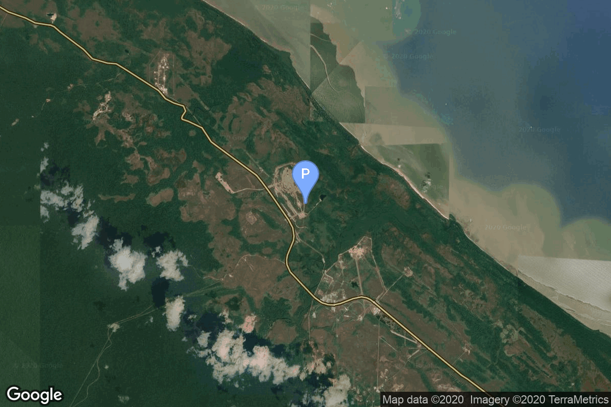
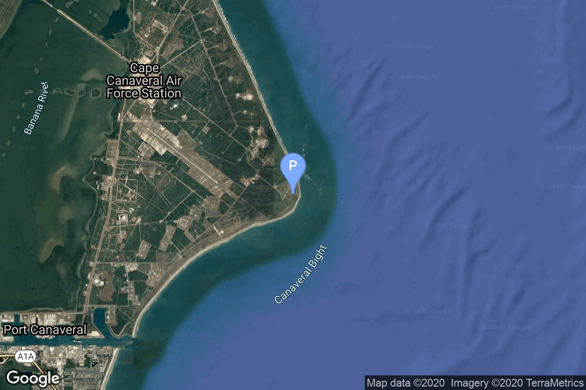
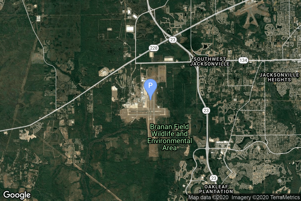
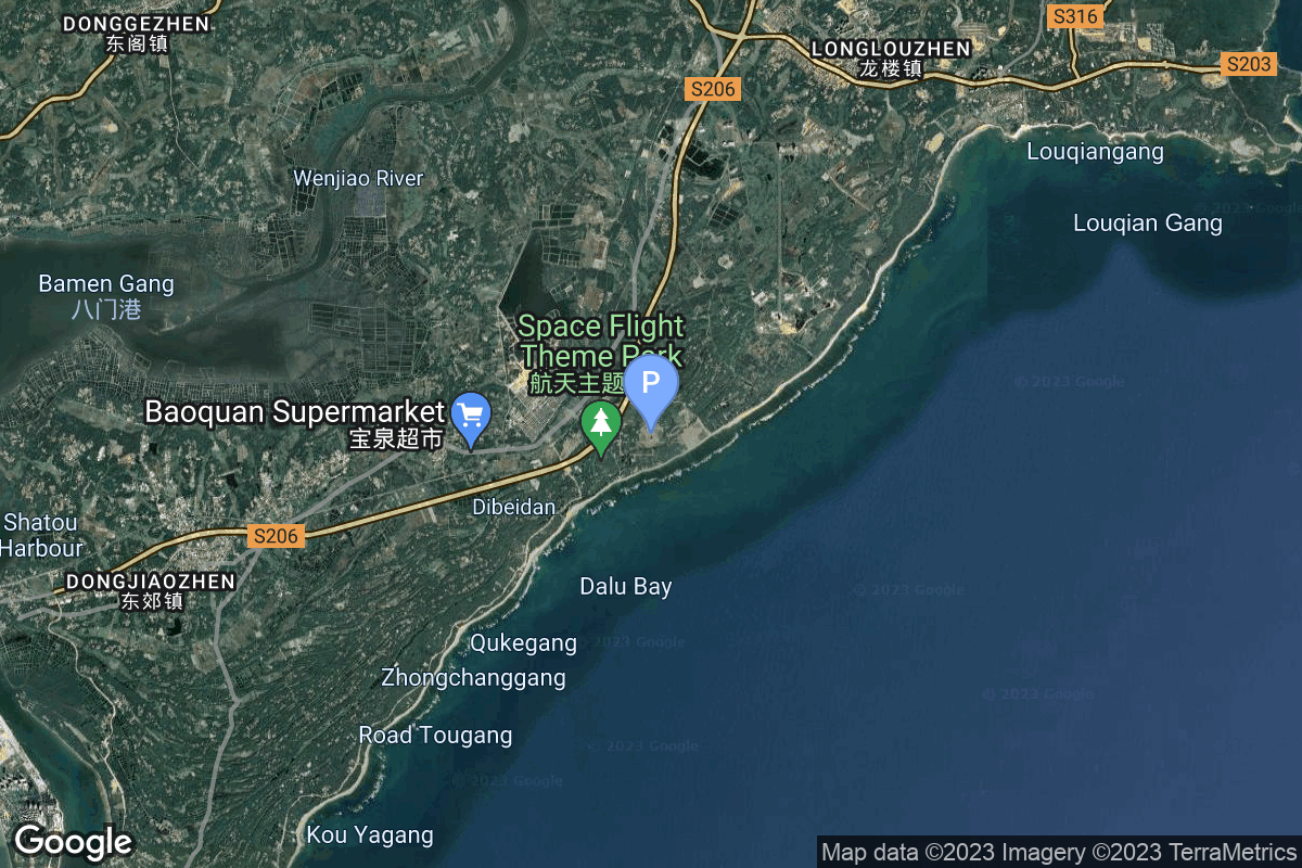
{ "count": 220, "next": "https://lldev.thespacedevs.com/2.2.0/pad/?format=api&limit=10&offset=60&ordering=name", "previous": "https://lldev.thespacedevs.com/2.2.0/pad/?format=api&limit=10&offset=40&ordering=name", "results": [ { "id": 34, "url": "https://lldev.thespacedevs.com/2.2.0/pad/34/?format=api", "agency_id": 115, "name": "Ariane Launch Area 1 (ELV)", "description": "ELA-1, now named Ensemble de Lancement Vega (short ELV), is a launch pad at the Centre Spatial Guyanais in French Guiana. It has been used to support launches of the Europa rocket, Ariane 1, Ariane 3, and is currently used to launch Vega rockets.", "info_url": null, "wiki_url": "https://en.wikipedia.org/wiki/ELA-1", "map_url": "https://www.google.com/maps?q=5.236,-52.775", "latitude": "5.236", "longitude": "-52.775", "location": { "id": 13, "url": "https://lldev.thespacedevs.com/2.2.0/location/13/?format=api", "name": "Guiana Space Centre, French Guiana", "country_code": "GUF", "description": "The Guiana Space Centre is a European spaceport to the northwest of Kourou in French Guiana, a region of France in South America. Kourou is located at a latitude of 5°. In operation since 1968, it is a suitable location for a spaceport because of its equatorial location and open sea to the east.", "map_image": "https://thespacedevs-prod.nyc3.digitaloceanspaces.com/media/map_images/location_13_20200803142412.jpg", "timezone_name": "America/Cayenne", "total_launch_count": 325, "total_landing_count": 0 }, "country_code": "GUF", "map_image": "https://thespacedevs-prod.nyc3.digitaloceanspaces.com/media/map_images/pad_34_20200803143527.jpg", "total_launch_count": 52, "orbital_launch_attempt_count": 52 }, { "id": 124, "url": "https://lldev.thespacedevs.com/2.2.0/pad/124/?format=api", "agency_id": 115, "name": "Ariane Launch Area 2", "description": "The ELA-2 pad, built in 1986, had been used for Ariane 4 launches from 1988 until 2003. Before 1988, although purpose-built for Ariane 4, the pad hosted an Ariane-2 and two Ariane-3 launches.", "info_url": null, "wiki_url": "https://en.wikipedia.org/wiki/ELA-2", "map_url": "https://www.google.com/maps?q=5.232,-52.778194", "latitude": "5.232", "longitude": "-52.778194", "location": { "id": 13, "url": "https://lldev.thespacedevs.com/2.2.0/location/13/?format=api", "name": "Guiana Space Centre, French Guiana", "country_code": "GUF", "description": "The Guiana Space Centre is a European spaceport to the northwest of Kourou in French Guiana, a region of France in South America. Kourou is located at a latitude of 5°. In operation since 1968, it is a suitable location for a spaceport because of its equatorial location and open sea to the east.", "map_image": "https://thespacedevs-prod.nyc3.digitaloceanspaces.com/media/map_images/location_13_20200803142412.jpg", "timezone_name": "America/Cayenne", "total_launch_count": 325, "total_landing_count": 0 }, "country_code": "GUF", "map_image": "https://thespacedevs-prod.nyc3.digitaloceanspaces.com/media/map_images/pad_124_20200803143241.jpg", "total_launch_count": 119, "orbital_launch_attempt_count": 119 }, { "id": 77, "url": "https://lldev.thespacedevs.com/2.2.0/pad/77/?format=api", "agency_id": 115, "name": "Ariane Launch Area 3", "description": "ELA-3, is a launch pad and associated facilities at the Centre Spatial Guyanais in French Guiana. ELA-3 was operated by Arianespace as part of the expendable launch system for Ariane 5 launch vehicles.", "info_url": null, "wiki_url": "https://en.wikipedia.org/wiki/ELA-3", "map_url": "https://www.google.com/maps?q=5.239,-52.768", "latitude": "5.239", "longitude": "-52.768", "location": { "id": 13, "url": "https://lldev.thespacedevs.com/2.2.0/location/13/?format=api", "name": "Guiana Space Centre, French Guiana", "country_code": "GUF", "description": "The Guiana Space Centre is a European spaceport to the northwest of Kourou in French Guiana, a region of France in South America. Kourou is located at a latitude of 5°. In operation since 1968, it is a suitable location for a spaceport because of its equatorial location and open sea to the east.", "map_image": "https://thespacedevs-prod.nyc3.digitaloceanspaces.com/media/map_images/location_13_20200803142412.jpg", "timezone_name": "America/Cayenne", "total_launch_count": 325, "total_landing_count": 0 }, "country_code": "GUF", "map_image": "https://thespacedevs-prod.nyc3.digitaloceanspaces.com/media/map_images/pad_77_20200803143458.jpg", "total_launch_count": 118, "orbital_launch_attempt_count": 118 }, { "id": 67, "url": "https://lldev.thespacedevs.com/2.2.0/pad/67/?format=api", "agency_id": 115, "name": "Ariane Launch Area 4", "description": "ELA-4, is a launch pad and associated facilities at the Centre Spatial Guyanais in French Guiana. The complex is composed of a launch pad with mobile gantry, an horizontal assembly building and a dedicated launch operations building. ELA-4 is operated by Arianespace as part of the Ariane 6 program.", "info_url": null, "wiki_url": "https://en.wikipedia.org/wiki/Guiana_Space_Centre", "map_url": "https://www.google.com/maps?q=5.256319,-52.786838", "latitude": "5.256319", "longitude": "-52.786838", "location": { "id": 13, "url": "https://lldev.thespacedevs.com/2.2.0/location/13/?format=api", "name": "Guiana Space Centre, French Guiana", "country_code": "GUF", "description": "The Guiana Space Centre is a European spaceport to the northwest of Kourou in French Guiana, a region of France in South America. Kourou is located at a latitude of 5°. In operation since 1968, it is a suitable location for a spaceport because of its equatorial location and open sea to the east.", "map_image": "https://thespacedevs-prod.nyc3.digitaloceanspaces.com/media/map_images/location_13_20200803142412.jpg", "timezone_name": "America/Cayenne", "total_launch_count": 325, "total_landing_count": 0 }, "country_code": "GUF", "map_image": "https://thespacedevs-prod.nyc3.digitaloceanspaces.com/media/map_images/pad_67_20200803143559.jpg", "total_launch_count": 2, "orbital_launch_attempt_count": 2 }, { "id": 148, "url": "https://lldev.thespacedevs.com/2.2.0/pad/148/?format=api", "agency_id": null, "name": "Borisoglebsk (K-496)", "description": null, "info_url": null, "wiki_url": "https://en.wikipedia.org/wiki/Russian_submarine_Borisoglebsk_(K-496)", "map_url": "https://www.google.com/maps?q=74.0000,38.0000", "latitude": "74.0", "longitude": "38.0", "location": { "id": 3, "url": "https://lldev.thespacedevs.com/2.2.0/location/3/?format=api", "name": "Sea Launch", "country_code": "???", "description": "", "map_image": "https://thespacedevs-prod.nyc3.digitaloceanspaces.com/media/map_images/location_3_20200803142448.jpg", "timezone_name": "", "total_launch_count": 56, "total_landing_count": 0 }, "country_code": "RUS", "map_image": "https://thespacedevs-prod.nyc3.digitaloceanspaces.com/media/map_images/pad_148_20200803143426.jpg", "total_launch_count": 1, "orbital_launch_attempt_count": 1 }, { "id": 217, "url": "https://lldev.thespacedevs.com/2.2.0/pad/217/?format=api", "agency_id": null, "name": "Bo Run Jiu Zhou mobile launch platform", "description": "", "info_url": null, "wiki_url": null, "map_url": "https://www.google.com/maps?q=21.283333,112.0", "latitude": "21.283333", "longitude": "112.0", "location": { "id": 3, "url": "https://lldev.thespacedevs.com/2.2.0/location/3/?format=api", "name": "Sea Launch", "country_code": "???", "description": "", "map_image": "https://thespacedevs-prod.nyc3.digitaloceanspaces.com/media/map_images/location_3_20200803142448.jpg", "timezone_name": "", "total_launch_count": 56, "total_landing_count": 0 }, "country_code": "CHN", "map_image": "https://thespacedevs-prod.nyc3.digitaloceanspaces.com/media/map_images/pad_bo_run_jiu_zhou_mobile_launch_platform_20231206001303.jpg", "total_launch_count": 3, "orbital_launch_attempt_count": 3 }, { "id": 141, "url": "https://lldev.thespacedevs.com/2.2.0/pad/141/?format=api", "agency_id": null, "name": "Brigitte", "description": null, "info_url": null, "wiki_url": "https://en.wikipedia.org/wiki/Hammaguir", "map_url": "https://www.google.com/maps?q=30.7787318,-3.0669721", "latitude": "30.7787318", "longitude": "-3.0669721", "location": { "id": 147, "url": "https://lldev.thespacedevs.com/2.2.0/location/147/?format=api", "name": "Interarmy Special Vehicles Test Centre, French Algeria", "country_code": "FRA", "description": "The Centre Interarmées d'Essais d'Engins Spéciaux was France's first space launch and ballistic missile testing facility. Outside France, the facility is often referred to by the name of the nearest town, Hammaguir. It was established on 24 April 1947, by ministerial decree as the Special Weapons Test Center (CEES, Centre d'essais d'engins spéciaux) for use by the French Army. In 1948, it was turned over to the French Air Force, who renamed it CIEES. Its remote location in the middle of the Saharan Desert and its relative closeness to the Equator (compared with Metropolitan France) made it an attractive launch site for missiles and orbital rockets.", "map_image": "https://thespacedevs-prod.nyc3.digitaloceanspaces.com/media/map_images/location_147_20240808092142.jpg", "timezone_name": "Africa/Algiers", "total_launch_count": 4, "total_landing_count": 0 }, "country_code": "FRA", "map_image": "https://thespacedevs-prod.nyc3.digitaloceanspaces.com/media/map_images/pad_141_20200803143211.jpg", "total_launch_count": 4, "orbital_launch_attempt_count": 4 }, { "id": 84, "url": "https://lldev.thespacedevs.com/2.2.0/pad/84/?format=api", "agency_id": null, "name": "Cape Canaveral", "description": null, "info_url": null, "wiki_url": "https://en.wikipedia.org/wiki/Cape_Canaveral", "map_url": "https://www.google.com/maps?q=28.455556,-80.527778", "latitude": "28.455556", "longitude": "-80.527778", "location": { "id": 20, "url": "https://lldev.thespacedevs.com/2.2.0/location/20/?format=api", "name": "Air launch to orbit", "country_code": "???", "description": "", "map_image": "https://thespacedevs-prod.nyc3.digitaloceanspaces.com/media/map_images/location_20_20200803142433.jpg", "timezone_name": "", "total_launch_count": 51, "total_landing_count": 0 }, "country_code": "USA", "map_image": "https://thespacedevs-prod.nyc3.digitaloceanspaces.com/media/map_images/pad_84_20200803143436.jpg", "total_launch_count": 7, "orbital_launch_attempt_count": 7 }, { "id": 109, "url": "https://lldev.thespacedevs.com/2.2.0/pad/109/?format=api", "agency_id": null, "name": "Cecil Air and Space Port", "description": null, "info_url": null, "wiki_url": "https://en.wikipedia.org/wiki/Cecil_Airport", "map_url": "https://www.google.com/maps?q=30.224166,-81.876236", "latitude": "30.224166", "longitude": "-81.876236", "location": { "id": 20, "url": "https://lldev.thespacedevs.com/2.2.0/location/20/?format=api", "name": "Air launch to orbit", "country_code": "???", "description": "", "map_image": "https://thespacedevs-prod.nyc3.digitaloceanspaces.com/media/map_images/location_20_20200803142433.jpg", "timezone_name": "", "total_launch_count": 51, "total_landing_count": 0 }, "country_code": "USA", "map_image": "https://thespacedevs-prod.nyc3.digitaloceanspaces.com/media/map_images/pad_109_20200803143535.jpg", "total_launch_count": 0, "orbital_launch_attempt_count": 0 }, { "id": 218, "url": "https://lldev.thespacedevs.com/2.2.0/pad/218/?format=api", "agency_id": null, "name": "Commercial LC-1", "description": "", "info_url": null, "wiki_url": "https://en.wikipedia.org/wiki/Wenchang_Commercial_Space_Launch_Site", "map_url": "https://www.google.com/maps?q=19.597275,110.930753", "latitude": "19.597275", "longitude": "110.930753", "location": { "id": 8, "url": "https://lldev.thespacedevs.com/2.2.0/location/8/?format=api", "name": "Wenchang Space Launch Site, People's Republic of China", "country_code": "CHN", "description": "The Wenchang Space Launch Site is a rocket launch site located in Wenchang on the island of Hainan, in China.\r\n\r\nFormally a suborbital test center, it currently serves as China's southernmost spaceport. The site was selected for its low latitude, 19° north of the equator, allowing for larger payloads to be launched. It is capable of launching the Long March 5, the heaviest Chinese rocket. Unlike launch facilities on the mainland, Wenchang uses its seaport for deliveries.", "map_image": "https://thespacedevs-prod.nyc3.digitaloceanspaces.com/media/map_images/location_8_20200803142445.jpg", "timezone_name": "Asia/Shanghai", "total_launch_count": 39, "total_landing_count": 0 }, "country_code": "CHN", "map_image": "https://thespacedevs-prod.nyc3.digitaloceanspaces.com/media/map_images/pad_commercial_lc-1_20231225074041.jpg", "total_launch_count": 1, "orbital_launch_attempt_count": 1 } ] }