Pad List
API endpoint that allows Location instances to be viewed.
GET: Return a list of all the existing location instances.
FILTERS: Parameters - 'id', 'agency_id', 'name', 'name__contains', 'latitude', 'latitude__contains', 'longitude', 'longitude__contains', 'location__name', 'location__name__contains', 'location__id', 'orbital_launch_attempt_count', 'total_launch_count'
ORDERING: Fields - 'id', 'name', 'location__id', 'location__name', 'orbital_launch_attempt_count', 'total_launch_count'
Example - /2.2.0/pad/?ordering=location__name
GET /2.2.0/pad/?format=api&offset=50&ordering=-orbital_launch_attempt_count
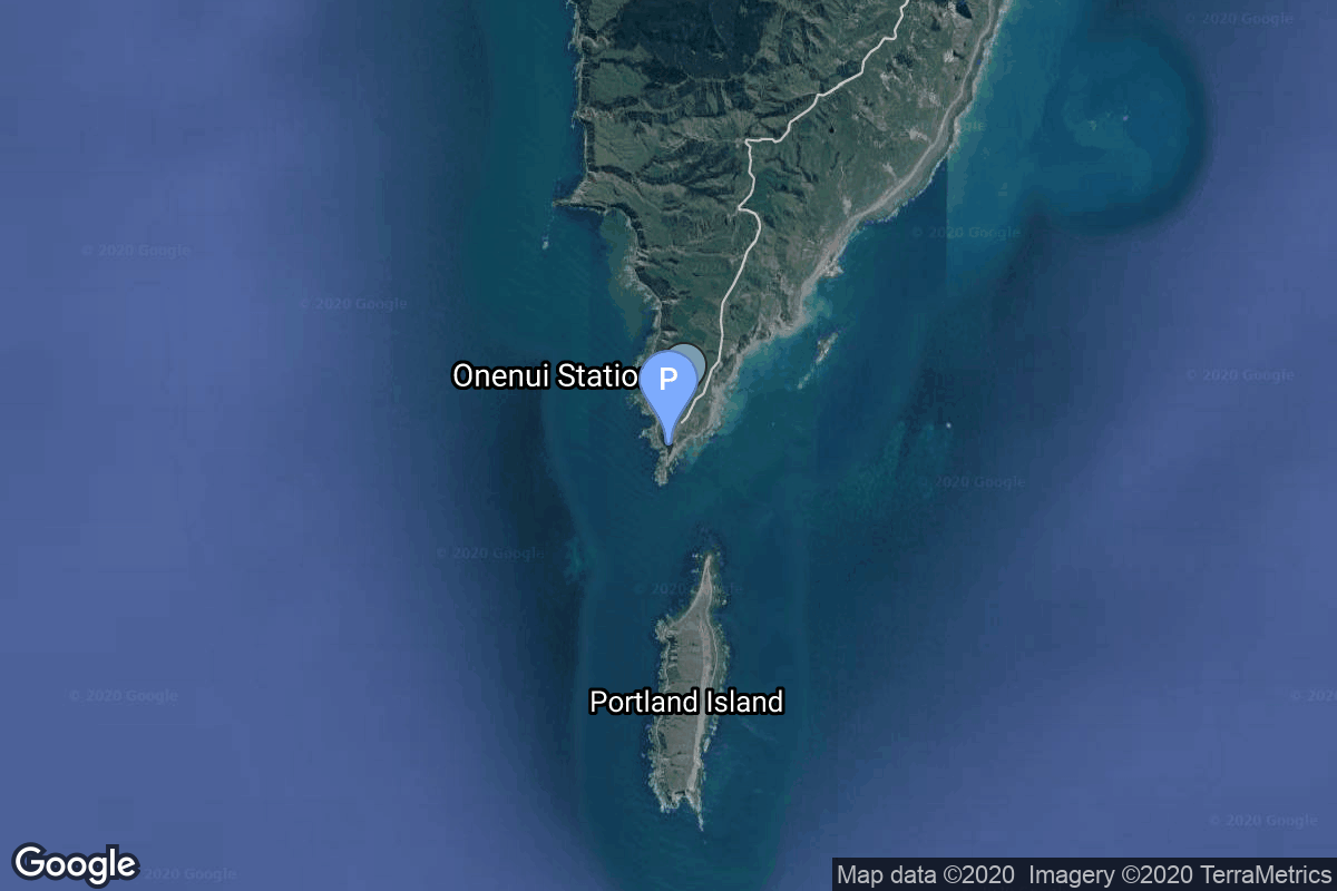
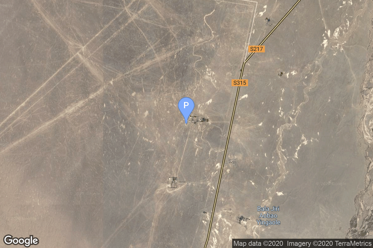
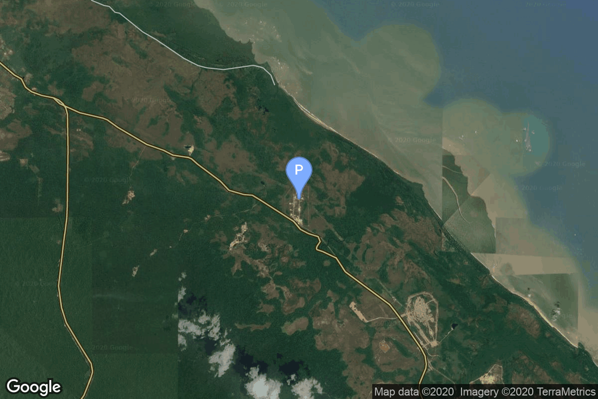
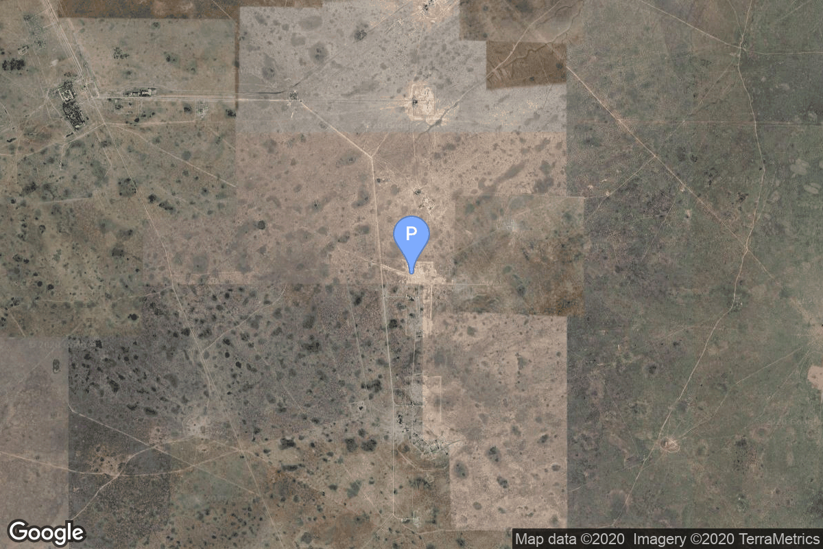
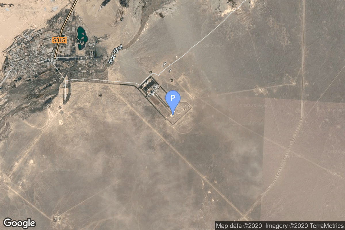
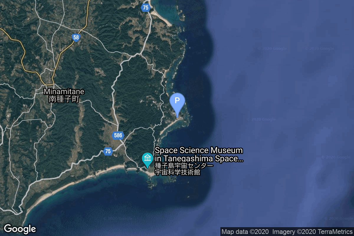
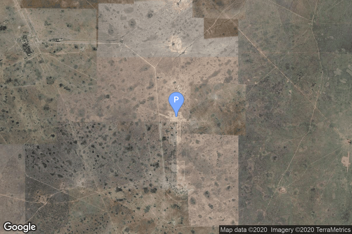
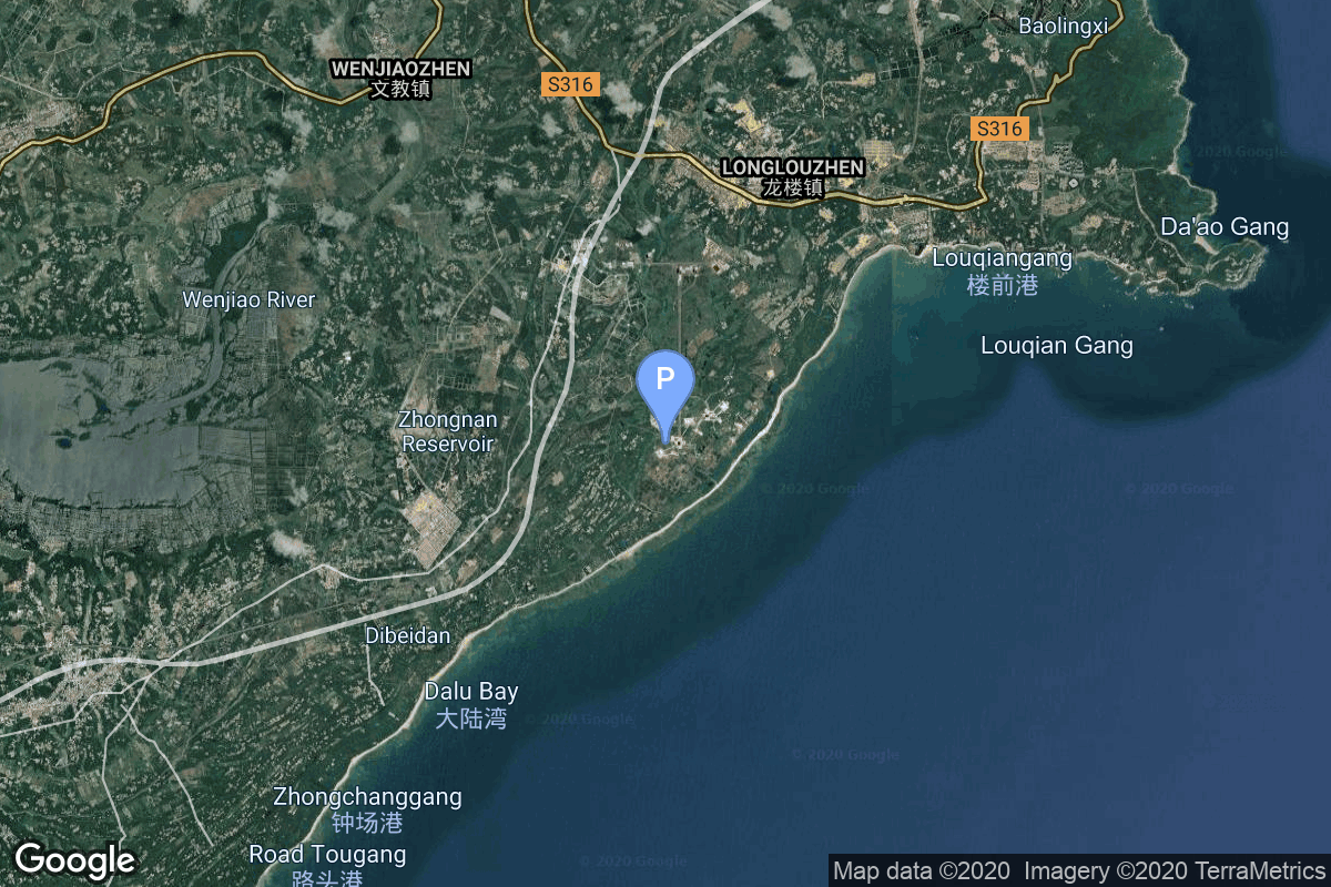
{ "count": 220, "next": "https://lldev.thespacedevs.com/2.2.0/pad/?format=api&limit=10&offset=60&ordering=-orbital_launch_attempt_count", "previous": "https://lldev.thespacedevs.com/2.2.0/pad/?format=api&limit=10&offset=40&ordering=-orbital_launch_attempt_count", "results": [ { "id": 185, "url": "https://lldev.thespacedevs.com/2.2.0/pad/185/?format=api", "agency_id": 147, "name": "Rocket Lab Launch Complex 1B", "description": "", "info_url": null, "wiki_url": "https://en.wikipedia.org/wiki/Rocket_Lab_Launch_Complex_1", "map_url": "https://www.google.com/maps?q=-39.262833,177.864469", "latitude": "-39.262833", "longitude": "177.864469", "location": { "id": 10, "url": "https://lldev.thespacedevs.com/2.2.0/location/10/?format=api", "name": "Rocket Lab Launch Complex 1, Mahia Peninsula, New Zealand", "country_code": "NZL", "description": "Rocket Lab Launch Complex 1 is a commercial spaceport located close to Ahuriri Point at the southern tip of Māhia Peninsula, on the east coast of New Zealand's North Island. It is owned and operated by private spaceflight company Rocket Lab and supports launches of the company's Electron rocket for small satellites. With the launch of Electron on 25 May 2017, it became the first private spaceport to host an orbital launch attempt, and the first site in New Zealand to host an orbital launch attempt. With the Electron launch of 21 January 2018, it became the first private spaceport to host a successful orbital launch.", "map_image": "https://thespacedevs-prod.nyc3.digitaloceanspaces.com/media/map_images/location_10_20200803142509.jpg", "timezone_name": "Pacific/Auckland", "total_launch_count": 60, "total_landing_count": 17 }, "country_code": "NZL", "map_image": "https://thespacedevs-prod.nyc3.digitaloceanspaces.com/media/map_images/pad_185_20200803143540.jpg", "total_launch_count": 29, "orbital_launch_attempt_count": 29 }, { "id": 82, "url": "https://lldev.thespacedevs.com/2.2.0/pad/82/?format=api", "agency_id": 31, "name": "Satish Dhawan Space Centre Second Launch Pad", "description": "The second launch pad was built between 1999 and 2003. It became functional in 2005 and has since been used for various rockets. This launch pad supports missions by PSLV, GSLV, LVM3 rockets and is even envisioned for India's future crewed spaceflight.", "info_url": null, "wiki_url": "https://en.wikipedia.org/wiki/Satish_Dhawan_Space_Centre_Second_Launch_Pad", "map_url": "https://www.google.com/maps?q=13.7199,80.2304", "latitude": "13.7199", "longitude": "80.2304", "location": { "id": 14, "url": "https://lldev.thespacedevs.com/2.2.0/location/14/?format=api", "name": "Satish Dhawan Space Centre, India", "country_code": "IND", "description": "Satish Dhawan Space Centre – SDSC (formerly Sriharikota Range – SHAR),[1] is the primary spaceport of the Indian Space Research Organisation (ISRO), located in Sriharikota, Andhra Pradesh.", "map_image": "https://thespacedevs-prod.nyc3.digitaloceanspaces.com/media/map_images/location_14_20200803142403.jpg", "timezone_name": "Asia/Kolkata", "total_launch_count": 99, "total_landing_count": 0 }, "country_code": "IND", "map_image": "https://thespacedevs-prod.nyc3.digitaloceanspaces.com/media/map_images/pad_82_20200803143602.jpg", "total_launch_count": 29, "orbital_launch_attempt_count": 28 }, { "id": 143, "url": "https://lldev.thespacedevs.com/2.2.0/pad/143/?format=api", "agency_id": null, "name": "Launch Area 2B", "description": null, "info_url": null, "wiki_url": "https://en.wikipedia.org/wiki/Jiuquan_Satellite_Launch_Center", "map_url": "https://www.google.com/maps?q=41.306143,100.313229", "latitude": "41.306143", "longitude": "100.313229", "location": { "id": 17, "url": "https://lldev.thespacedevs.com/2.2.0/location/17/?format=api", "name": "Jiuquan Satellite Launch Center, People's Republic of China", "country_code": "CHN", "description": "Jiuquan Satellite Launch Center is a Chinese spaceport located between the Ejin, Alxa, Inner Mongolia and Hangtian Town, Jinta County, Jiuquan, Gansu Province. It is part of the Dongfeng Aerospace City (Base 10).", "map_image": "https://thespacedevs-prod.nyc3.digitaloceanspaces.com/media/map_images/location_17_20200803142429.jpg", "timezone_name": "Asia/Shanghai", "total_launch_count": 253, "total_landing_count": 0 }, "country_code": "CHN", "map_image": "https://thespacedevs-prod.nyc3.digitaloceanspaces.com/media/map_images/pad_143_20200803143313.jpg", "total_launch_count": 26, "orbital_launch_attempt_count": 26 }, { "id": 81, "url": "https://lldev.thespacedevs.com/2.2.0/pad/81/?format=api", "agency_id": 115, "name": "Soyuz Launch Complex", "description": "The Ensemble de Lancement Soyouz (ELS) is a launch complex at the Guiana Space Centre in Kourou/Sinnamary, French Guiana. It was used by Soyuz-ST rockets: modified versions of the Soyuz-2 optimised for launch from Kourou under Soyuz at the Guiana Space Centre programme.", "info_url": null, "wiki_url": "https://en.wikipedia.org/wiki/Ensemble_de_Lancement_Soyouz", "map_url": "https://www.google.com/maps?q=5.3019,-52.8346", "latitude": "5.3019", "longitude": "-52.8346", "location": { "id": 13, "url": "https://lldev.thespacedevs.com/2.2.0/location/13/?format=api", "name": "Guiana Space Centre, French Guiana", "country_code": "GUF", "description": "The Guiana Space Centre is a European spaceport to the northwest of Kourou in French Guiana, a region of France in South America. Kourou is located at a latitude of 5°. In operation since 1968, it is a suitable location for a spaceport because of its equatorial location and open sea to the east.", "map_image": "https://thespacedevs-prod.nyc3.digitaloceanspaces.com/media/map_images/location_13_20200803142412.jpg", "timezone_name": "America/Cayenne", "total_launch_count": 325, "total_landing_count": 0 }, "country_code": "GUF", "map_image": "https://thespacedevs-prod.nyc3.digitaloceanspaces.com/media/map_images/pad_81_20200803143601.jpg", "total_launch_count": 26, "orbital_launch_attempt_count": 26 }, { "id": 139, "url": "https://lldev.thespacedevs.com/2.2.0/pad/139/?format=api", "agency_id": null, "name": "86/1", "description": null, "info_url": null, "wiki_url": "https://en.wikipedia.org/wiki/Kapustin_Yar", "map_url": "https://www.google.com/maps?q=48.56935,46.293219", "latitude": "48.56935", "longitude": "46.293219", "location": { "id": 30, "url": "https://lldev.thespacedevs.com/2.2.0/location/30/?format=api", "name": "Kapustin Yar, Russian Federation", "country_code": "RUS", "description": "Kapustin Yar is a Russian military training area and a rocket launch complex in Astrakhan Oblast, about 100 km east of Volgograd. It was established by the Soviet Union on 13 May 1946. In the beginning, Kapustin Yar used technology, material, and scientific support gained from the defeat of Germany in World War II. Numerous launches of test rockets for the Russian military were carried out at the site, as well as satellite and sounding rocket launches.", "map_image": "https://thespacedevs-prod.nyc3.digitaloceanspaces.com/media/map_images/location_30_20200803142515.jpg", "timezone_name": "Europe/Volgograd", "total_launch_count": 101, "total_landing_count": 0 }, "country_code": "RUS", "map_image": "https://thespacedevs-prod.nyc3.digitaloceanspaces.com/media/map_images/pad_139_20200803143345.jpg", "total_launch_count": 26, "orbital_launch_attempt_count": 26 }, { "id": 37, "url": "https://lldev.thespacedevs.com/2.2.0/pad/37/?format=api", "agency_id": null, "name": "Launch Area 4 (SLS-1 / 921)", "description": "", "info_url": null, "wiki_url": "https://en.wikipedia.org/wiki/Jiuquan_Launch_Area_4", "map_url": "https://www.google.com/maps?q=40.957893,100.290944", "latitude": "40.957893", "longitude": "100.290944", "location": { "id": 17, "url": "https://lldev.thespacedevs.com/2.2.0/location/17/?format=api", "name": "Jiuquan Satellite Launch Center, People's Republic of China", "country_code": "CHN", "description": "Jiuquan Satellite Launch Center is a Chinese spaceport located between the Ejin, Alxa, Inner Mongolia and Hangtian Town, Jinta County, Jiuquan, Gansu Province. It is part of the Dongfeng Aerospace City (Base 10).", "map_image": "https://thespacedevs-prod.nyc3.digitaloceanspaces.com/media/map_images/location_17_20200803142429.jpg", "timezone_name": "Asia/Shanghai", "total_launch_count": 253, "total_landing_count": 0 }, "country_code": "CHN", "map_image": "https://thespacedevs-prod.nyc3.digitaloceanspaces.com/media/map_images/pad_37_20200803143603.jpg", "total_launch_count": 25, "orbital_launch_attempt_count": 25 }, { "id": 10, "url": "https://lldev.thespacedevs.com/2.2.0/pad/10/?format=api", "agency_id": 37, "name": "Osaki Launch Complex", "description": null, "info_url": null, "wiki_url": "https://en.wikipedia.org/wiki/Tanegashima_Space_Center", "map_url": "https://www.google.com/maps?q=30.3993934,130.9702486", "latitude": "30.3993934", "longitude": "130.9702486", "location": { "id": 26, "url": "https://lldev.thespacedevs.com/2.2.0/location/26/?format=api", "name": "Tanegashima Space Center, Japan", "country_code": "JPN", "description": "The Tanegashima Space Center is the largest rocket-launch complex in Japan. It is located on the southeastern tip of Tanegashima, an island located south of Kyushu, an island and region and Japan. It was established in 1969 when the National Space Development Agency of Japan (NASDA) was formed, and is now run by JAXA. The activities that take place at TNSC include assembly, testing, launching, and tracking satellites, as well as rocket engine firing tests.", "map_image": "https://thespacedevs-prod.nyc3.digitaloceanspaces.com/media/map_images/location_26_20200803142507.jpg", "timezone_name": "Asia/Tokyo", "total_launch_count": 94, "total_landing_count": 0 }, "country_code": "JPN", "map_image": "https://thespacedevs-prod.nyc3.digitaloceanspaces.com/media/map_images/pad_10_20200803143519.jpg", "total_launch_count": 24, "orbital_launch_attempt_count": 24 }, { "id": 140, "url": "https://lldev.thespacedevs.com/2.2.0/pad/140/?format=api", "agency_id": null, "name": "86/4", "description": null, "info_url": null, "wiki_url": "https://en.wikipedia.org/wiki/Kapustin_Yar", "map_url": "https://www.google.com/maps?q=48.56935,46.293219", "latitude": "48.56935", "longitude": "46.293219", "location": { "id": 30, "url": "https://lldev.thespacedevs.com/2.2.0/location/30/?format=api", "name": "Kapustin Yar, Russian Federation", "country_code": "RUS", "description": "Kapustin Yar is a Russian military training area and a rocket launch complex in Astrakhan Oblast, about 100 km east of Volgograd. It was established by the Soviet Union on 13 May 1946. In the beginning, Kapustin Yar used technology, material, and scientific support gained from the defeat of Germany in World War II. Numerous launches of test rockets for the Russian military were carried out at the site, as well as satellite and sounding rocket launches.", "map_image": "https://thespacedevs-prod.nyc3.digitaloceanspaces.com/media/map_images/location_30_20200803142515.jpg", "timezone_name": "Europe/Volgograd", "total_launch_count": 101, "total_landing_count": 0 }, "country_code": "RUS", "map_image": "https://thespacedevs-prod.nyc3.digitaloceanspaces.com/media/map_images/pad_140_20200803143350.jpg", "total_launch_count": 24, "orbital_launch_attempt_count": 24 }, { "id": 100, "url": "https://lldev.thespacedevs.com/2.2.0/pad/100/?format=api", "agency_id": null, "name": "Mayak-2", "description": null, "info_url": null, "wiki_url": null, "map_url": "https://www.google.com/maps?q=48.569551,46.295814", "latitude": "48.569551", "longitude": "46.295814", "location": { "id": 30, "url": "https://lldev.thespacedevs.com/2.2.0/location/30/?format=api", "name": "Kapustin Yar, Russian Federation", "country_code": "RUS", "description": "Kapustin Yar is a Russian military training area and a rocket launch complex in Astrakhan Oblast, about 100 km east of Volgograd. It was established by the Soviet Union on 13 May 1946. In the beginning, Kapustin Yar used technology, material, and scientific support gained from the defeat of Germany in World War II. Numerous launches of test rockets for the Russian military were carried out at the site, as well as satellite and sounding rocket launches.", "map_image": "https://thespacedevs-prod.nyc3.digitaloceanspaces.com/media/map_images/location_30_20200803142515.jpg", "timezone_name": "Europe/Volgograd", "total_launch_count": 101, "total_landing_count": 0 }, "country_code": "RUS", "map_image": "https://thespacedevs-prod.nyc3.digitaloceanspaces.com/media/map_images/pad_100_20200803143212.jpg", "total_launch_count": 24, "orbital_launch_attempt_count": 24 }, { "id": 176, "url": "https://lldev.thespacedevs.com/2.2.0/pad/176/?format=api", "agency_id": null, "name": "201", "description": "", "info_url": null, "wiki_url": "https://en.wikipedia.org/wiki/Wenchang_Spacecraft_Launch_Site", "map_url": "https://www.google.com/maps?q=19.618452,110.955356", "latitude": "19.618452", "longitude": "110.955356", "location": { "id": 8, "url": "https://lldev.thespacedevs.com/2.2.0/location/8/?format=api", "name": "Wenchang Space Launch Site, People's Republic of China", "country_code": "CHN", "description": "The Wenchang Space Launch Site is a rocket launch site located in Wenchang on the island of Hainan, in China.\r\n\r\nFormally a suborbital test center, it currently serves as China's southernmost spaceport. The site was selected for its low latitude, 19° north of the equator, allowing for larger payloads to be launched. It is capable of launching the Long March 5, the heaviest Chinese rocket. Unlike launch facilities on the mainland, Wenchang uses its seaport for deliveries.", "map_image": "https://thespacedevs-prod.nyc3.digitaloceanspaces.com/media/map_images/location_8_20200803142445.jpg", "timezone_name": "Asia/Shanghai", "total_launch_count": 39, "total_landing_count": 0 }, "country_code": "CHN", "map_image": "https://thespacedevs-prod.nyc3.digitaloceanspaces.com/media/map_images/pad_176_20200803143412.jpg", "total_launch_count": 23, "orbital_launch_attempt_count": 23 } ] }