Pad List
API endpoint that allows Location instances to be viewed.
GET: Return a list of all the existing location instances.
FILTERS: Parameters - 'id', 'agency_id', 'name', 'name__contains', 'latitude', 'latitude__contains', 'longitude', 'longitude__contains', 'location__name', 'location__name__contains', 'location__id', 'orbital_launch_attempt_count', 'total_launch_count'
ORDERING: Fields - 'id', 'name', 'location__id', 'location__name', 'orbital_launch_attempt_count', 'total_launch_count'
Example - /2.2.0/pad/?ordering=location__name
GET /2.2.0/pad/?format=api&offset=40&ordering=total_launch_count
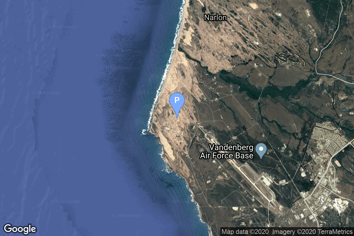
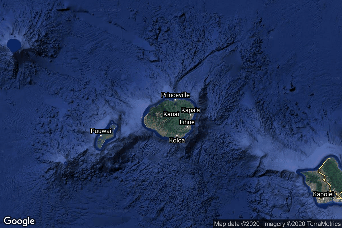
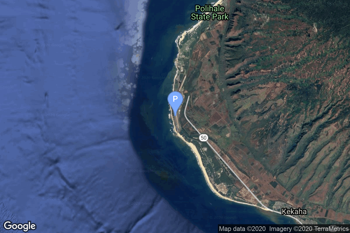
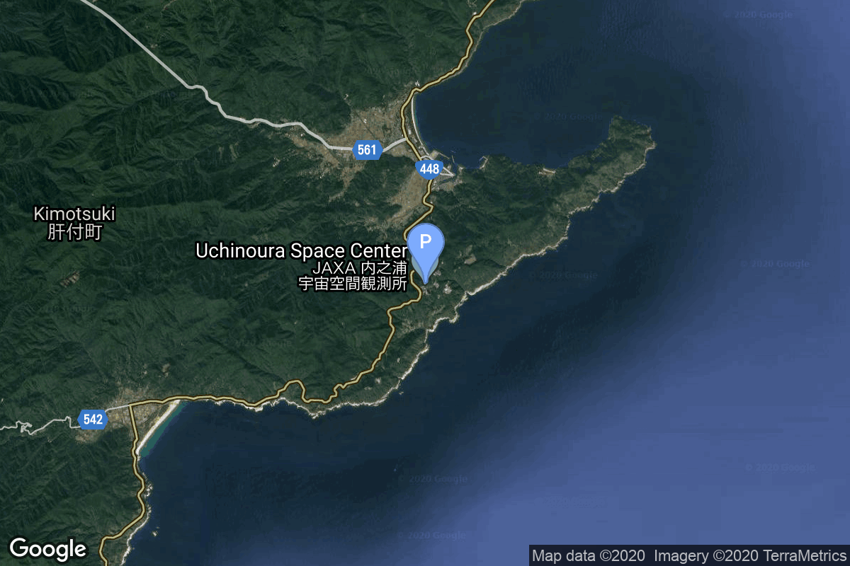
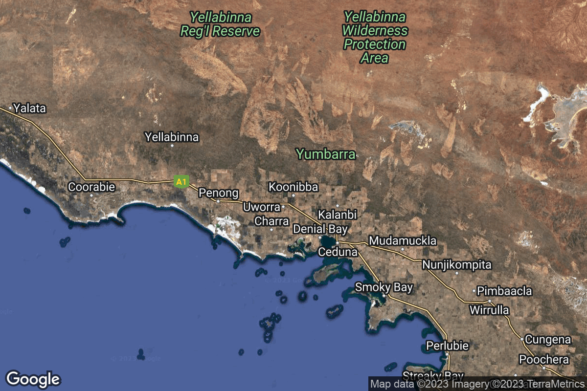
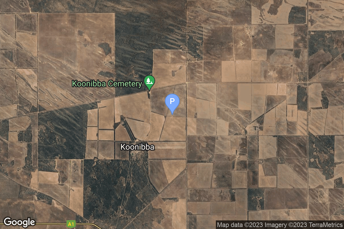
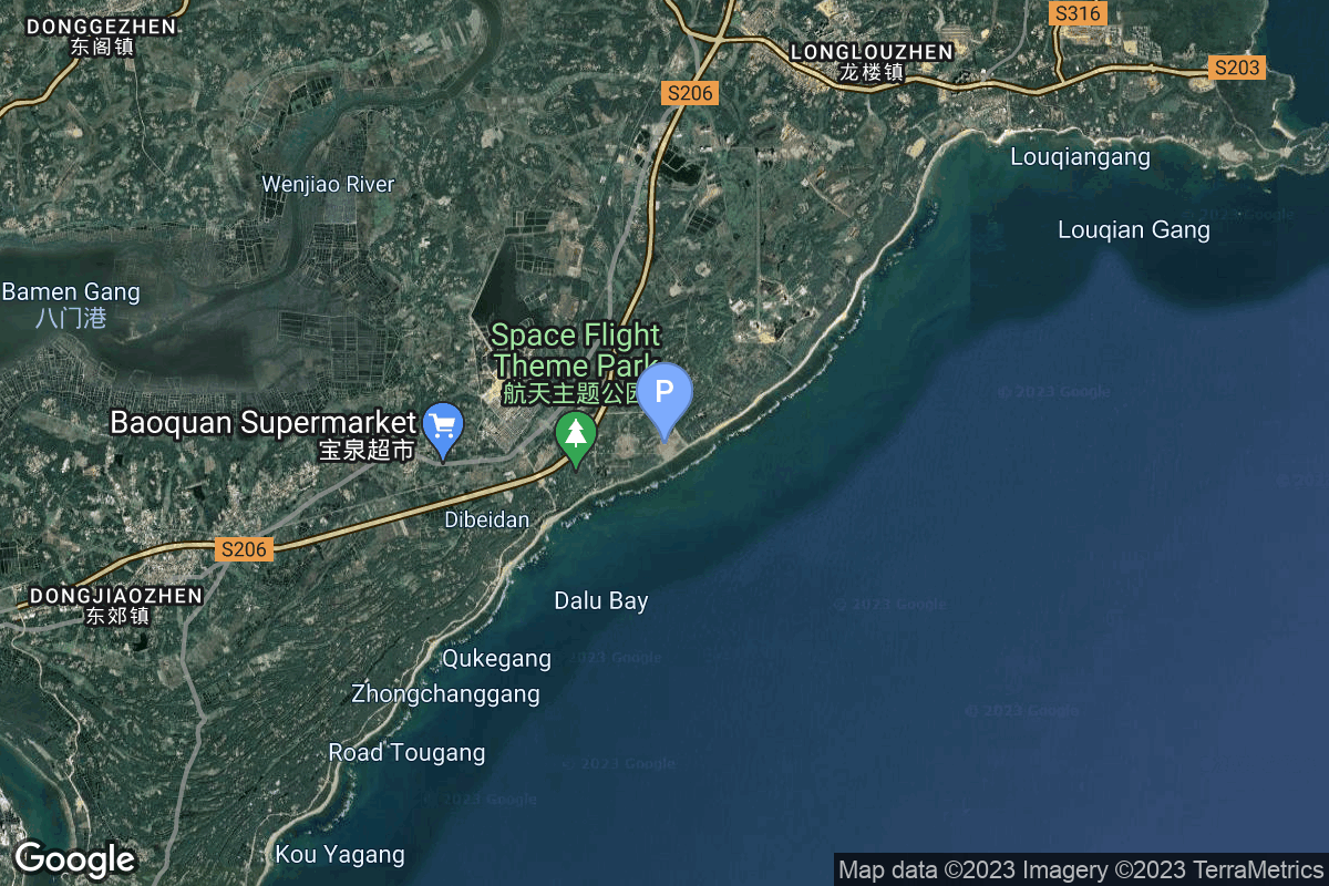
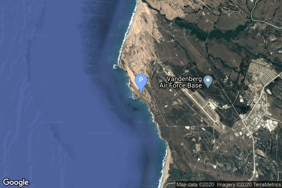
{ "count": 220, "next": "https://lldev.thespacedevs.com/2.2.0/pad/?format=api&limit=10&offset=50&ordering=total_launch_count", "previous": "https://lldev.thespacedevs.com/2.2.0/pad/?format=api&limit=10&offset=30&ordering=total_launch_count", "results": [ { "id": 61, "url": "https://lldev.thespacedevs.com/2.2.0/pad/61/?format=api", "agency_id": 161, "name": "Space Launch Complex 10E", "description": "Space Launch Complex 10, or Missile Launch Complex 10, is located on Vandenberg Space Force Base in Lompoc, California. It was built in 1958 to test ballistic missiles and developed into a space launching facility in 1963.", "info_url": null, "wiki_url": "https://en.wikipedia.org/wiki/Vandenberg_Space_Launch_Complex_10", "map_url": "https://www.google.com/maps?q=34.7626,-120.6213", "latitude": "34.7626", "longitude": "-120.6213", "location": { "id": 11, "url": "https://lldev.thespacedevs.com/2.2.0/location/11/?format=api", "name": "Vandenberg SFB, CA, USA", "country_code": "USA", "description": "Vandenberg Space Force Base is a United States Space Force Base in Santa Barbara County, California. Established in 1941, Vandenberg Space Force Base is a space launch base, launching spacecraft from the Western Range, and also performs missile testing. The United States Space Force's Space Launch Delta 30 serves as the host delta for the base, equivalent to an Air Force air base wing. In addition to its military space launch mission, Vandenberg Space Force Base also hosts space launches for civil and commercial space entities, such as NASA and SpaceX.", "map_image": "https://thespacedevs-prod.nyc3.digitaloceanspaces.com/media/map_images/location_11_20200803142416.jpg", "timezone_name": "America/Los_Angeles", "total_launch_count": 814, "total_landing_count": 26 }, "country_code": "USA", "map_image": "https://thespacedevs-prod.nyc3.digitaloceanspaces.com/media/map_images/pad_61_20200803143410.jpg", "total_launch_count": 1, "orbital_launch_attempt_count": 1 }, { "id": 46, "url": "https://lldev.thespacedevs.com/2.2.0/pad/46/?format=api", "agency_id": 100, "name": "Gran Canaria", "description": null, "info_url": null, "wiki_url": "https://en.wikipedia.org/wiki/Gran_Canaria", "map_url": "https://www.google.com/maps?q=27.966667,-15.6", "latitude": "27.966667", "longitude": "-15.6", "location": { "id": 20, "url": "https://lldev.thespacedevs.com/2.2.0/location/20/?format=api", "name": "Air launch to orbit", "country_code": "???", "description": "", "map_image": "https://thespacedevs-prod.nyc3.digitaloceanspaces.com/media/map_images/location_20_20200803142433.jpg", "timezone_name": "", "total_launch_count": 51, "total_landing_count": 0 }, "country_code": "ESP", "map_image": "https://thespacedevs-prod.nyc3.digitaloceanspaces.com/media/map_images/pad_46_20200803143312.jpg", "total_launch_count": 1, "orbital_launch_attempt_count": 1 }, { "id": 63, "url": "https://lldev.thespacedevs.com/2.2.0/pad/63/?format=api", "agency_id": 166, "name": "LP-41", "description": null, "info_url": null, "wiki_url": "https://en.wikipedia.org/wiki/Pacific_Missile_Range_Facility", "map_url": "https://www.google.com/maps?q=21.982029,-159.759328", "latitude": "21.982029", "longitude": "-159.759328", "location": { "id": 1, "url": "https://lldev.thespacedevs.com/2.2.0/location/1/?format=api", "name": "Pacific Missile Range Facility, Barking Sands, HI, USA", "country_code": "USA", "description": "The Pacific Missile Range Facility, Barking Sands is a U.S. naval facility and airport located five nautical miles (9 km) northwest of the central business district of Kekaha, in Kauai County, Hawaii, United States.", "map_image": "https://thespacedevs-prod.nyc3.digitaloceanspaces.com/media/map_images/location_1_20200803142427.jpg", "timezone_name": "Pacific/Honolulu", "total_launch_count": 1, "total_landing_count": 0 }, "country_code": "USA", "map_image": "https://thespacedevs-prod.nyc3.digitaloceanspaces.com/media/map_images/pad_63_20200803143308.jpg", "total_launch_count": 1, "orbital_launch_attempt_count": 1 }, { "id": 150, "url": "https://lldev.thespacedevs.com/2.2.0/pad/150/?format=api", "agency_id": null, "name": "Launch Area 120", "description": "", "info_url": null, "wiki_url": "https://en.wikipedia.org/wiki/Jiuquan_Satellite_Launch_Center", "map_url": "https://www.google.com/maps?q=40.855242,100.199634", "latitude": "40.855242", "longitude": "100.199634", "location": { "id": 17, "url": "https://lldev.thespacedevs.com/2.2.0/location/17/?format=api", "name": "Jiuquan Satellite Launch Center, People's Republic of China", "country_code": "CHN", "description": "Jiuquan Satellite Launch Center is a Chinese spaceport located between the Ejin, Alxa, Inner Mongolia and Hangtian Town, Jinta County, Jiuquan, Gansu Province. It is part of the Dongfeng Aerospace City (Base 10).", "map_image": "https://thespacedevs-prod.nyc3.digitaloceanspaces.com/media/map_images/location_17_20200803142429.jpg", "timezone_name": "Asia/Shanghai", "total_launch_count": 253, "total_landing_count": 0 }, "country_code": "CHN", "map_image": "https://thespacedevs-prod.nyc3.digitaloceanspaces.com/media/map_images/pad_150_20200803143318.jpg", "total_launch_count": 1, "orbital_launch_attempt_count": 1 }, { "id": 215, "url": "https://lldev.thespacedevs.com/2.2.0/pad/215/?format=api", "agency_id": 1028, "name": "Pad 1", "description": "", "info_url": "https://www.southernlaunch.space/koonibba-test-range", "wiki_url": "https://en.wikipedia.org/wiki/Koonibba_Test_Range", "map_url": "https://www.google.com/maps?q=-31.885558,133.448686", "latitude": "-31.885558", "longitude": "133.448686", "location": { "id": 164, "url": "https://lldev.thespacedevs.com/2.2.0/location/164/?format=api", "name": "Koonibba Test Range, South Australia", "country_code": "AUS", "description": "The Koonibba Test Range is a rocket test range site near the township of Koonibba in the far west of South Australia. Rockets are launched to the north over a clear area – the Yumbarra Conservation Park and Yellabinna Wilderness Protection Area – for 145 kilometres (90 mi).", "map_image": "https://thespacedevs-prod.nyc3.digitaloceanspaces.com/media/map_images/location_koonibba_test_range252c_south_australia_20231114184328.jpg", "timezone_name": "Australia/Adelaide", "total_launch_count": 1, "total_landing_count": 0 }, "country_code": "AUS", "map_image": "https://thespacedevs-prod.nyc3.digitaloceanspaces.com/media/map_images/pad_pad_1_20231114184452.jpg", "total_launch_count": 1, "orbital_launch_attempt_count": 0 }, { "id": 159, "url": "https://lldev.thespacedevs.com/2.2.0/pad/159/?format=api", "agency_id": null, "name": "131", "description": null, "info_url": null, "wiki_url": "https://en.wikipedia.org/wiki/Baikonur_Cosmodrome", "map_url": "https://www.google.com/maps?q=46.072,62.953806", "latitude": "46.072", "longitude": "62.953806", "location": { "id": 15, "url": "https://lldev.thespacedevs.com/2.2.0/location/15/?format=api", "name": "Baikonur Cosmodrome, Republic of Kazakhstan", "country_code": "KAZ", "description": "The Baikonur Cosmodrome is a spaceport operated by Russia within Kazakhstan. Located in the Kazakh city of Baikonur, it is the largest operational space launch facility in terms of area. All Russian crewed spaceflights are launched from Baikonur.", "map_image": "https://thespacedevs-prod.nyc3.digitaloceanspaces.com/media/map_images/location_15_20200803142517.jpg", "timezone_name": "Asia/Qyzylorda", "total_launch_count": 1555, "total_landing_count": 0 }, "country_code": "KAZ", "map_image": "https://thespacedevs-prod.nyc3.digitaloceanspaces.com/media/map_images/pad_159_20200803143326.jpg", "total_launch_count": 1, "orbital_launch_attempt_count": 1 }, { "id": 116, "url": "https://lldev.thespacedevs.com/2.2.0/pad/116/?format=api", "agency_id": 161, "name": "Launch Complex 11", "description": null, "info_url": null, "wiki_url": "https://en.wikipedia.org/wiki/Cape_Canaveral_Launch_Complex_11", "map_url": "https://www.google.com/maps?q=28.4755556,-80.5427496", "latitude": "28.4755556", "longitude": "-80.5427496", "location": { "id": 12, "url": "https://lldev.thespacedevs.com/2.2.0/location/12/?format=api", "name": "Cape Canaveral SFS, FL, USA", "country_code": "USA", "description": "Cape Canaveral Space Force Station (CCSFS) is an installation of the United States Space Force's Space Launch Delta 45, located on Cape Canaveral in Brevard County, Florida.", "map_image": "https://thespacedevs-prod.nyc3.digitaloceanspaces.com/media/map_images/location_12_20200803142519.jpg", "timezone_name": "America/New_York", "total_launch_count": 1031, "total_landing_count": 64 }, "country_code": "USA", "map_image": "https://thespacedevs-prod.nyc3.digitaloceanspaces.com/media/map_images/pad_116_20200803143216.jpg", "total_launch_count": 1, "orbital_launch_attempt_count": 1 }, { "id": 219, "url": "https://lldev.thespacedevs.com/2.2.0/pad/219/?format=api", "agency_id": null, "name": "Commercial LC-2", "description": "", "info_url": null, "wiki_url": "https://en.wikipedia.org/wiki/Wenchang_Commercial_Space_Launch_Site", "map_url": "https://www.google.com/maps?q=19.59755,110.936481", "latitude": "19.59755", "longitude": "110.936481", "location": { "id": 8, "url": "https://lldev.thespacedevs.com/2.2.0/location/8/?format=api", "name": "Wenchang Space Launch Site, People's Republic of China", "country_code": "CHN", "description": "The Wenchang Space Launch Site is a rocket launch site located in Wenchang on the island of Hainan, in China.\r\n\r\nFormally a suborbital test center, it currently serves as China's southernmost spaceport. The site was selected for its low latitude, 19° north of the equator, allowing for larger payloads to be launched. It is capable of launching the Long March 5, the heaviest Chinese rocket. Unlike launch facilities on the mainland, Wenchang uses its seaport for deliveries.", "map_image": "https://thespacedevs-prod.nyc3.digitaloceanspaces.com/media/map_images/location_8_20200803142445.jpg", "timezone_name": "Asia/Shanghai", "total_launch_count": 39, "total_landing_count": 0 }, "country_code": "CHN", "map_image": "https://thespacedevs-prod.nyc3.digitaloceanspaces.com/media/map_images/pad_commercial_lc-2_20231225074048.jpg", "total_launch_count": 1, "orbital_launch_attempt_count": 1 }, { "id": 173, "url": "https://lldev.thespacedevs.com/2.2.0/pad/173/?format=api", "agency_id": null, "name": "576A1", "description": "The very first Atlas D operational ICBM sites, these were above ground with open support towers. These missiles were on alert from 31 October 1959 until 1 May 1964. After going off alert in 1964, Alpha 1 and 2 were used by the USAF for Atlas satellite rocket launches until 1974", "info_url": null, "wiki_url": "https://en.wikipedia.org/wiki/Vandenberg_Air_Force_Base_Launch_Complex_576", "map_url": "https://www.google.com/maps?q=34.7394444,-120.6213607", "latitude": "34.7394444", "longitude": "-120.6213607", "location": { "id": 11, "url": "https://lldev.thespacedevs.com/2.2.0/location/11/?format=api", "name": "Vandenberg SFB, CA, USA", "country_code": "USA", "description": "Vandenberg Space Force Base is a United States Space Force Base in Santa Barbara County, California. Established in 1941, Vandenberg Space Force Base is a space launch base, launching spacecraft from the Western Range, and also performs missile testing. The United States Space Force's Space Launch Delta 30 serves as the host delta for the base, equivalent to an Air Force air base wing. In addition to its military space launch mission, Vandenberg Space Force Base also hosts space launches for civil and commercial space entities, such as NASA and SpaceX.", "map_image": "https://thespacedevs-prod.nyc3.digitaloceanspaces.com/media/map_images/location_11_20200803142416.jpg", "timezone_name": "America/Los_Angeles", "total_launch_count": 814, "total_landing_count": 26 }, "country_code": "USA", "map_image": "https://thespacedevs-prod.nyc3.digitaloceanspaces.com/media/map_images/pad_173_20200803143418.jpg", "total_launch_count": 1, "orbital_launch_attempt_count": 1 }, { "id": 149, "url": "https://lldev.thespacedevs.com/2.2.0/pad/149/?format=api", "agency_id": null, "name": "Ekaterinburg (K-84)", "description": null, "info_url": null, "wiki_url": "https://en.wikipedia.org/wiki/Russian_submarine_Ekaterinburg_(K-84)", "map_url": "https://www.google.com/maps?q=74.000000,38.0000", "latitude": "74.0", "longitude": "38.0", "location": { "id": 3, "url": "https://lldev.thespacedevs.com/2.2.0/location/3/?format=api", "name": "Sea Launch", "country_code": "???", "description": "", "map_image": "https://thespacedevs-prod.nyc3.digitaloceanspaces.com/media/map_images/location_3_20200803142448.jpg", "timezone_name": "", "total_launch_count": 56, "total_landing_count": 0 }, "country_code": "RUS", "map_image": "https://thespacedevs-prod.nyc3.digitaloceanspaces.com/media/map_images/pad_149_20200803143409.jpg", "total_launch_count": 1, "orbital_launch_attempt_count": 1 } ] }