Pad List
API endpoint that allows Location instances to be viewed.
GET: Return a list of all the existing location instances.
FILTERS: Parameters - 'id', 'agency_id', 'name', 'name__contains', 'latitude', 'latitude__contains', 'longitude', 'longitude__contains', 'location__name', 'location__name__contains', 'location__id', 'orbital_launch_attempt_count', 'total_launch_count'
ORDERING: Fields - 'id', 'name', 'location__id', 'location__name', 'orbital_launch_attempt_count', 'total_launch_count'
Example - /2.2.0/pad/?ordering=location__name
GET /2.2.0/pad/?format=api&offset=200&ordering=id
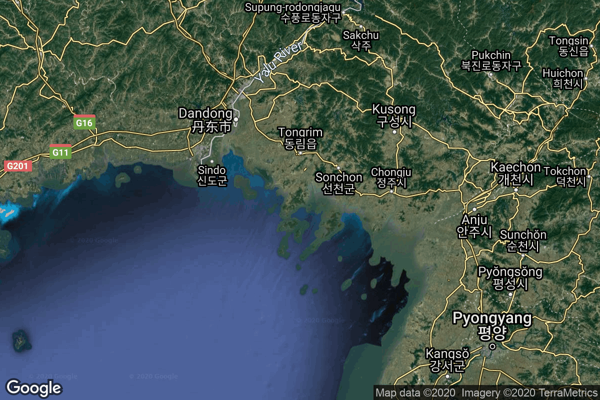
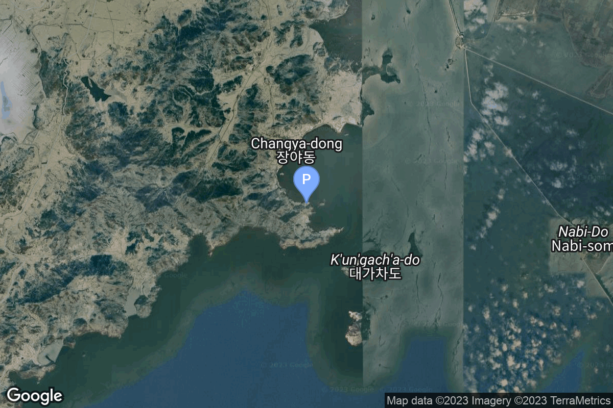
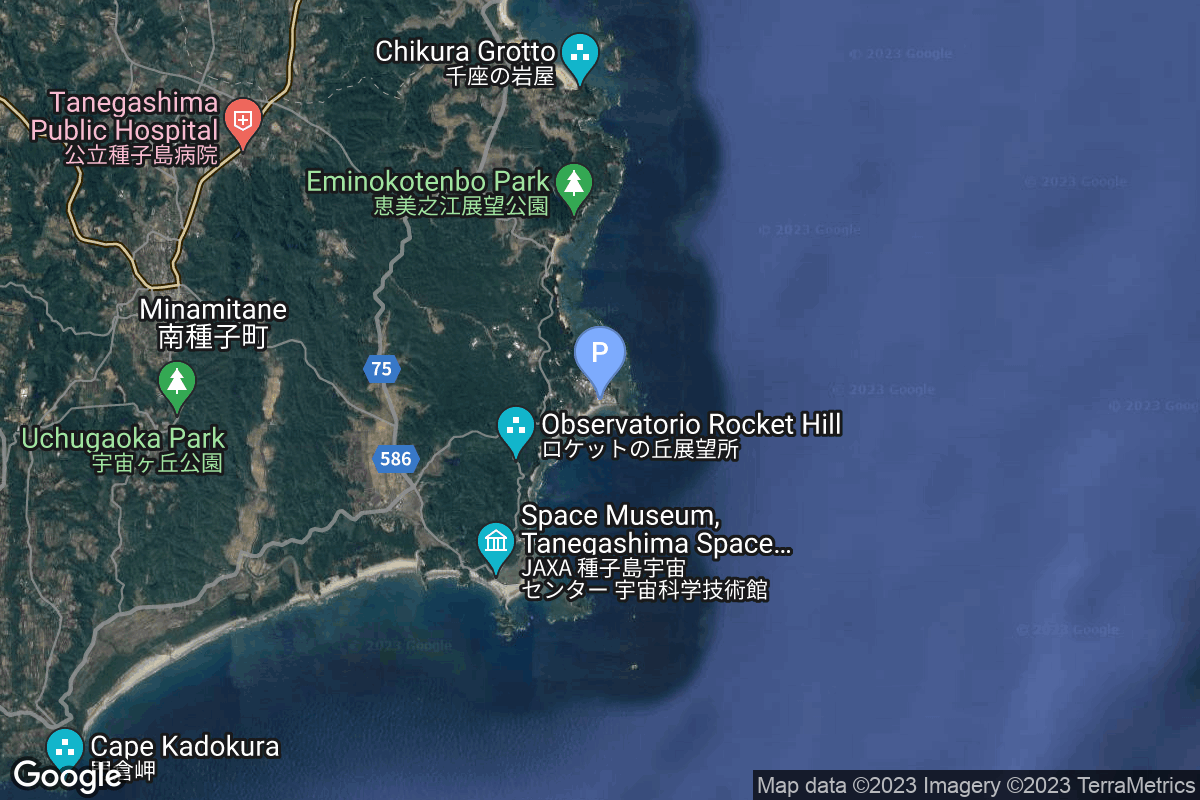
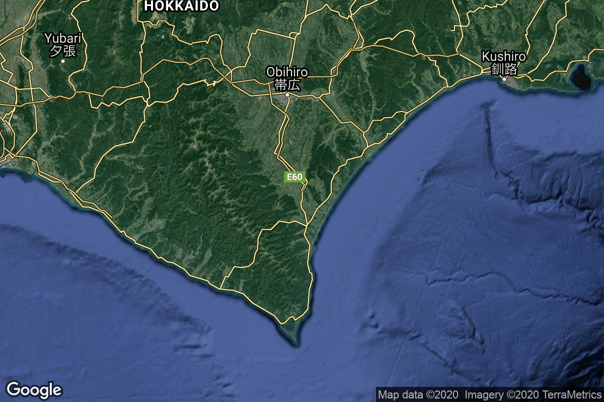
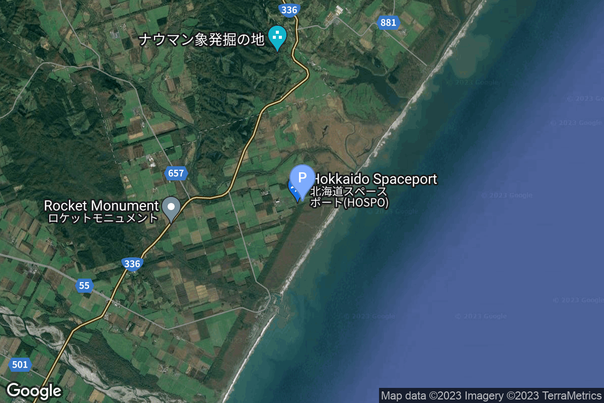
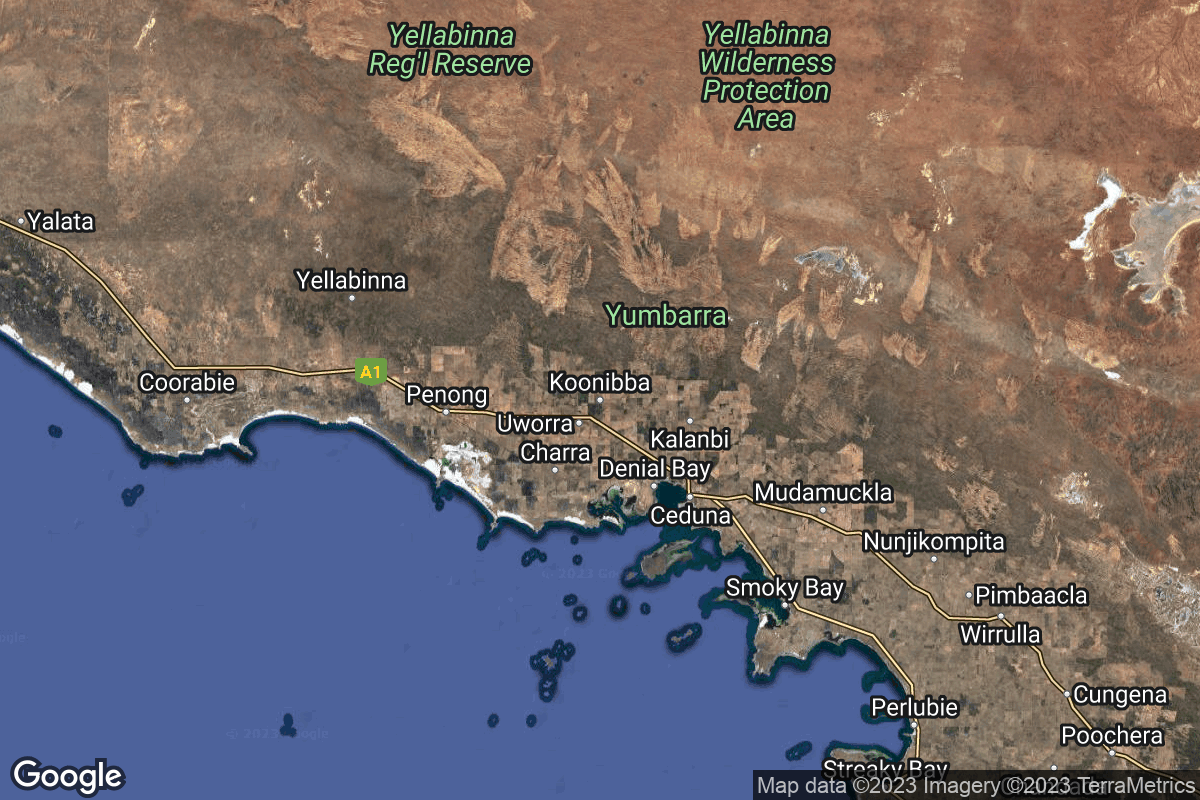
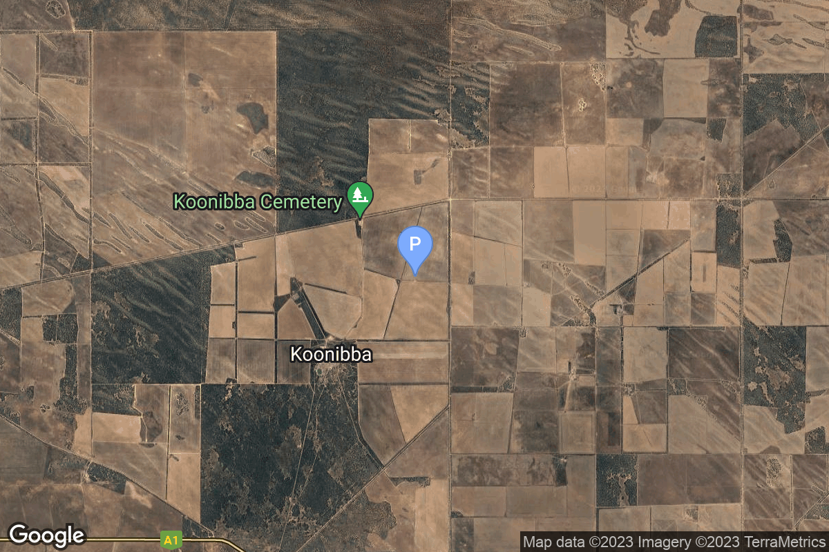
{ "count": 220, "next": "https://lldev.thespacedevs.com/2.2.0/pad/?format=api&limit=10&offset=210&ordering=id", "previous": "https://lldev.thespacedevs.com/2.2.0/pad/?format=api&limit=10&offset=190&ordering=id", "results": [ { "id": 208, "url": "https://lldev.thespacedevs.com/2.2.0/pad/208/?format=api", "agency_id": null, "name": "Malligyong-1 Pad", "description": "", "info_url": null, "wiki_url": null, "map_url": "https://goo.gl/maps/DgkrTCHCsAcw1CWR7", "latitude": "39.652861", "longitude": "124.736639", "location": { "id": 7, "url": "https://lldev.thespacedevs.com/2.2.0/location/7/?format=api", "name": "Sohae Satellite Launching Station, Cholsan County, North Pyongan Province, Democratic People's Republic of Korea", "country_code": "PRK", "description": "Sohae Satellite Launching Station is a rocket launching site in Tongch'ang-ri, Cholsan County, North Pyongan Province, North Korea. The base is located among hills close to the northern border with China. The spaceport was built on the site of the village Pongdong-ri which was displaced during construction.", "map_image": "https://thespacedevs-prod.nyc3.digitaloceanspaces.com/media/map_images/location_7_20200803142414.jpg", "timezone_name": "Asia/Pyongyang", "total_launch_count": 7, "total_landing_count": 0 }, "country_code": "PRK", "map_image": "https://thespacedevs-prod.nyc3.digitaloceanspaces.com/media/map_images/pad_unknown_pad_prk_2023_20230601125308.jpg", "total_launch_count": 4, "orbital_launch_attempt_count": 4 }, { "id": 209, "url": "https://lldev.thespacedevs.com/2.2.0/pad/209/?format=api", "agency_id": 37, "name": "Yoshinobu Launch Complex LP-2", "description": "", "info_url": null, "wiki_url": "https://en.wikipedia.org/wiki/Yoshinobu_Launch_Complex", "map_url": "https://www.google.com/maps?q=30.400938,130.97564", "latitude": "30.400938", "longitude": "130.97564", "location": { "id": 26, "url": "https://lldev.thespacedevs.com/2.2.0/location/26/?format=api", "name": "Tanegashima Space Center, Japan", "country_code": "JPN", "description": "The Tanegashima Space Center is the largest rocket-launch complex in Japan. It is located on the southeastern tip of Tanegashima, an island located south of Kyushu, an island and region and Japan. It was established in 1969 when the National Space Development Agency of Japan (NASDA) was formed, and is now run by JAXA. The activities that take place at TNSC include assembly, testing, launching, and tracking satellites, as well as rocket engine firing tests.", "map_image": "https://thespacedevs-prod.nyc3.digitaloceanspaces.com/media/map_images/location_26_20200803142507.jpg", "timezone_name": "Asia/Tokyo", "total_launch_count": 94, "total_landing_count": 0 }, "country_code": "JPN", "map_image": "https://thespacedevs-prod.nyc3.digitaloceanspaces.com/media/map_images/pad_yoshinobu_launch_complex_lp-2_20230707124715.jpg", "total_launch_count": 14, "orbital_launch_attempt_count": 14 }, { "id": 210, "url": "https://lldev.thespacedevs.com/2.2.0/pad/210/?format=api", "agency_id": null, "name": "Unknown Pad", "description": null, "info_url": null, "wiki_url": null, "map_url": null, "latitude": "-39.260881", "longitude": "177.865826", "location": { "id": 10, "url": "https://lldev.thespacedevs.com/2.2.0/location/10/?format=api", "name": "Rocket Lab Launch Complex 1, Mahia Peninsula, New Zealand", "country_code": "NZL", "description": "Rocket Lab Launch Complex 1 is a commercial spaceport located close to Ahuriri Point at the southern tip of Māhia Peninsula, on the east coast of New Zealand's North Island. It is owned and operated by private spaceflight company Rocket Lab and supports launches of the company's Electron rocket for small satellites. With the launch of Electron on 25 May 2017, it became the first private spaceport to host an orbital launch attempt, and the first site in New Zealand to host an orbital launch attempt. With the Electron launch of 21 January 2018, it became the first private spaceport to host a successful orbital launch.", "map_image": "https://thespacedevs-prod.nyc3.digitaloceanspaces.com/media/map_images/location_10_20200803142509.jpg", "timezone_name": "Pacific/Auckland", "total_launch_count": 60, "total_landing_count": 17 }, "country_code": "NZL", "map_image": "https://thespacedevs-prod.nyc3.digitaloceanspaces.com/media/map_images/pad_210_20230819165718.jpg", "total_launch_count": 0, "orbital_launch_attempt_count": 0 }, { "id": 211, "url": "https://lldev.thespacedevs.com/2.2.0/pad/211/?format=api", "agency_id": 1002, "name": "Launch Complex 1", "description": null, "info_url": null, "wiki_url": "https://en.wikipedia.org/wiki/Taiki_Aerospace_Research_Field", "map_url": "https://www.google.com/maps?q=42.50000000,143.441389", "latitude": "42.5", "longitude": "143.441389", "location": { "id": 32, "url": "https://lldev.thespacedevs.com/2.2.0/location/32/?format=api", "name": "Hokkaido Spaceport, Japan", "country_code": "JPN", "description": "Rocket launch pad of Interstellar Technologies, located next to the Taiki Aerospace Research Field.", "map_image": "https://thespacedevs-prod.nyc3.digitaloceanspaces.com/media/map_images/location_32_20200803142407.jpg", "timezone_name": "Asia/Tokyo", "total_launch_count": 7, "total_landing_count": 0 }, "country_code": "JPN", "map_image": "https://thespacedevs-prod.nyc3.digitaloceanspaces.com/media/map_images/pad_launch_complex_1_20230816074610.jpg", "total_launch_count": 0, "orbital_launch_attempt_count": 0 }, { "id": 212, "url": "https://lldev.thespacedevs.com/2.2.0/pad/212/?format=api", "agency_id": 88, "name": "Haiyang Spaceport", "description": "Sea-based spaceport", "info_url": null, "wiki_url": null, "map_url": null, "latitude": "36.676794", "longitude": "121.235103", "location": { "id": 3, "url": "https://lldev.thespacedevs.com/2.2.0/location/3/?format=api", "name": "Sea Launch", "country_code": "???", "description": "", "map_image": "https://thespacedevs-prod.nyc3.digitaloceanspaces.com/media/map_images/location_3_20200803142448.jpg", "timezone_name": "", "total_launch_count": 56, "total_landing_count": 0 }, "country_code": "CHN", "map_image": "https://thespacedevs-prod.nyc3.digitaloceanspaces.com/media/map_images/pad_haiyang_spaceport_20230827174240.jpg", "total_launch_count": 4, "orbital_launch_attempt_count": 4 }, { "id": 213, "url": "https://lldev.thespacedevs.com/2.2.0/pad/213/?format=api", "agency_id": null, "name": "Launch Pad Callum", "description": "Multi-user launch pad located at SaxaVord Spaceport. Users include Skyrora, HyImpulse and Isar Aerospace.", "info_url": null, "wiki_url": null, "map_url": null, "latitude": null, "longitude": null, "location": { "id": 157, "url": "https://lldev.thespacedevs.com/2.2.0/location/157/?format=api", "name": "SaxaVord Spaceport", "country_code": "GBR", "description": "SaxaVord Spaceport is a UK spaceport located on the Lamba Ness peninsula on Unst, the most northerly of the inhabited Shetland Islands off the coast of Scotland. The site is near the RAF Saxa Vord radar station and the settlement of Skaw, adjacent to the Saxa Vord distillery.", "map_image": "https://thespacedevs-prod.nyc3.digitaloceanspaces.com/media/map_images/location_saxavord_spaceport_20211102161146.jpg", "timezone_name": "Europe/London", "total_launch_count": 0, "total_landing_count": 0 }, "country_code": "GBR", "map_image": "https://thespacedevs-prod.nyc3.digitaloceanspaces.com/media/map_images/pad_launch_pad_callum_20231013025800.jpg", "total_launch_count": 0, "orbital_launch_attempt_count": 0 }, { "id": 214, "url": "https://lldev.thespacedevs.com/2.2.0/pad/214/?format=api", "agency_id": null, "name": "Launch Pad Elizabeth", "description": "Named after the late Queen Elizabeth II, the pad will support launch operations of US-based launchers.\r\n\r\nIt is located at the most northern tip of the UK, allowing for extra security control to meet ITAR regulations.", "info_url": null, "wiki_url": null, "map_url": null, "latitude": null, "longitude": null, "location": { "id": 157, "url": "https://lldev.thespacedevs.com/2.2.0/location/157/?format=api", "name": "SaxaVord Spaceport", "country_code": "GBR", "description": "SaxaVord Spaceport is a UK spaceport located on the Lamba Ness peninsula on Unst, the most northerly of the inhabited Shetland Islands off the coast of Scotland. The site is near the RAF Saxa Vord radar station and the settlement of Skaw, adjacent to the Saxa Vord distillery.", "map_image": "https://thespacedevs-prod.nyc3.digitaloceanspaces.com/media/map_images/location_saxavord_spaceport_20211102161146.jpg", "timezone_name": "Europe/London", "total_launch_count": 0, "total_landing_count": 0 }, "country_code": "GBR", "map_image": "https://thespacedevs-prod.nyc3.digitaloceanspaces.com/media/map_images/pad_launch_pad_elizabeth_20231013025957.jpg", "total_launch_count": 0, "orbital_launch_attempt_count": 0 }, { "id": 215, "url": "https://lldev.thespacedevs.com/2.2.0/pad/215/?format=api", "agency_id": 1028, "name": "Pad 1", "description": "", "info_url": "https://www.southernlaunch.space/koonibba-test-range", "wiki_url": "https://en.wikipedia.org/wiki/Koonibba_Test_Range", "map_url": "https://www.google.com/maps?q=-31.885558,133.448686", "latitude": "-31.885558", "longitude": "133.448686", "location": { "id": 164, "url": "https://lldev.thespacedevs.com/2.2.0/location/164/?format=api", "name": "Koonibba Test Range, South Australia", "country_code": "AUS", "description": "The Koonibba Test Range is a rocket test range site near the township of Koonibba in the far west of South Australia. Rockets are launched to the north over a clear area – the Yumbarra Conservation Park and Yellabinna Wilderness Protection Area – for 145 kilometres (90 mi).", "map_image": "https://thespacedevs-prod.nyc3.digitaloceanspaces.com/media/map_images/location_koonibba_test_range252c_south_australia_20231114184328.jpg", "timezone_name": "Australia/Adelaide", "total_launch_count": 1, "total_landing_count": 0 }, "country_code": "AUS", "map_image": "https://thespacedevs-prod.nyc3.digitaloceanspaces.com/media/map_images/pad_pad_1_20231114184452.jpg", "total_launch_count": 1, "orbital_launch_attempt_count": 0 }, { "id": 216, "url": "https://lldev.thespacedevs.com/2.2.0/pad/216/?format=api", "agency_id": null, "name": "ADD Offshore launch platform", "description": "Offshore launch platform for the South Korean military small satellite launch vehicle.", "info_url": null, "wiki_url": null, "map_url": null, "latitude": "33.216667", "longitude": "126.366667", "location": { "id": 3, "url": "https://lldev.thespacedevs.com/2.2.0/location/3/?format=api", "name": "Sea Launch", "country_code": "???", "description": "", "map_image": "https://thespacedevs-prod.nyc3.digitaloceanspaces.com/media/map_images/location_3_20200803142448.jpg", "timezone_name": "", "total_launch_count": 56, "total_landing_count": 0 }, "country_code": "KOR", "map_image": "https://thespacedevs-prod.nyc3.digitaloceanspaces.com/media/map_images/pad_add_offshore_launch_platform_20231204142359.jpg", "total_launch_count": 1, "orbital_launch_attempt_count": 1 }, { "id": 217, "url": "https://lldev.thespacedevs.com/2.2.0/pad/217/?format=api", "agency_id": null, "name": "Bo Run Jiu Zhou mobile launch platform", "description": "", "info_url": null, "wiki_url": null, "map_url": "https://www.google.com/maps?q=21.283333,112.0", "latitude": "21.283333", "longitude": "112.0", "location": { "id": 3, "url": "https://lldev.thespacedevs.com/2.2.0/location/3/?format=api", "name": "Sea Launch", "country_code": "???", "description": "", "map_image": "https://thespacedevs-prod.nyc3.digitaloceanspaces.com/media/map_images/location_3_20200803142448.jpg", "timezone_name": "", "total_launch_count": 56, "total_landing_count": 0 }, "country_code": "CHN", "map_image": "https://thespacedevs-prod.nyc3.digitaloceanspaces.com/media/map_images/pad_bo_run_jiu_zhou_mobile_launch_platform_20231206001303.jpg", "total_launch_count": 3, "orbital_launch_attempt_count": 3 } ] }