Pad List
API endpoint that allows Location instances to be viewed.
GET: Return a list of all the existing location instances.
FILTERS: Parameters - 'id', 'agency_id', 'name', 'name__contains', 'latitude', 'latitude__contains', 'longitude', 'longitude__contains', 'location__name', 'location__name__contains', 'location__id', 'orbital_launch_attempt_count', 'total_launch_count'
ORDERING: Fields - 'id', 'name', 'location__id', 'location__name', 'orbital_launch_attempt_count', 'total_launch_count'
Example - /2.2.0/pad/?ordering=location__name
GET /2.2.0/pad/?format=api&offset=200&ordering=-orbital_launch_attempt_count
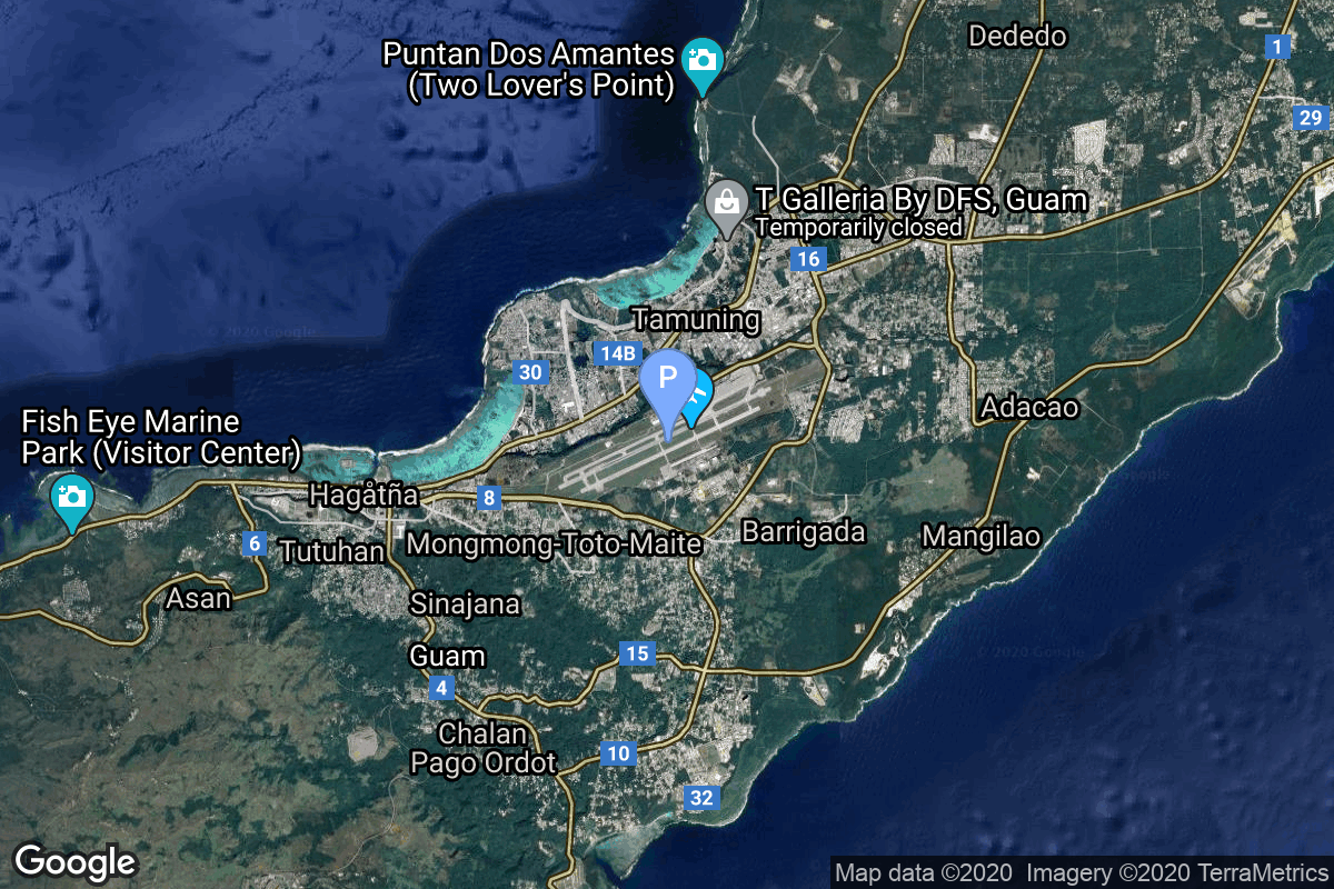
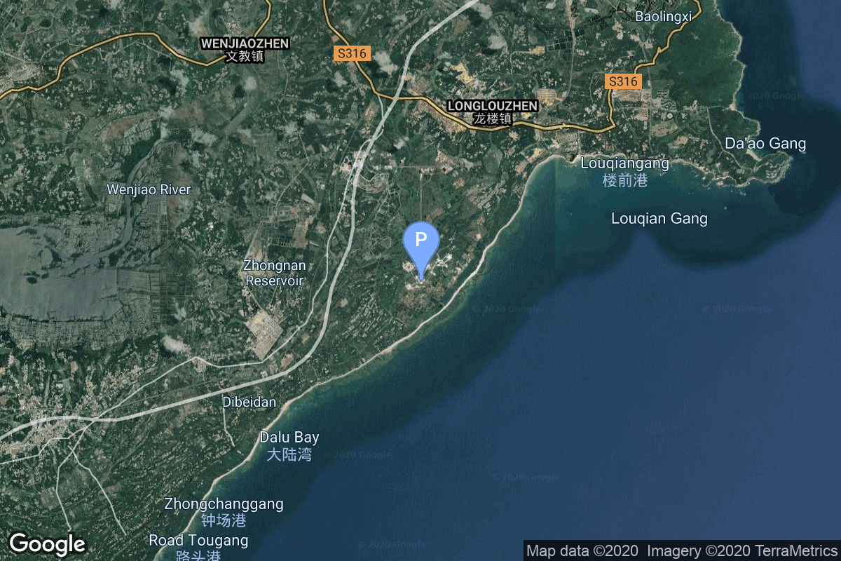
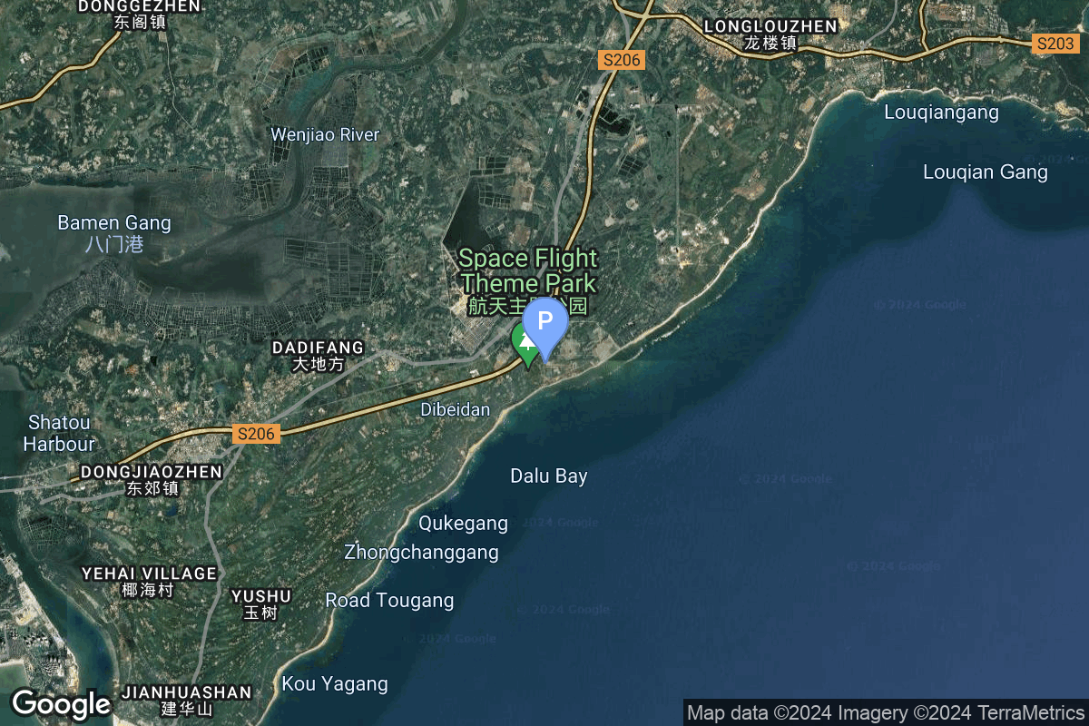
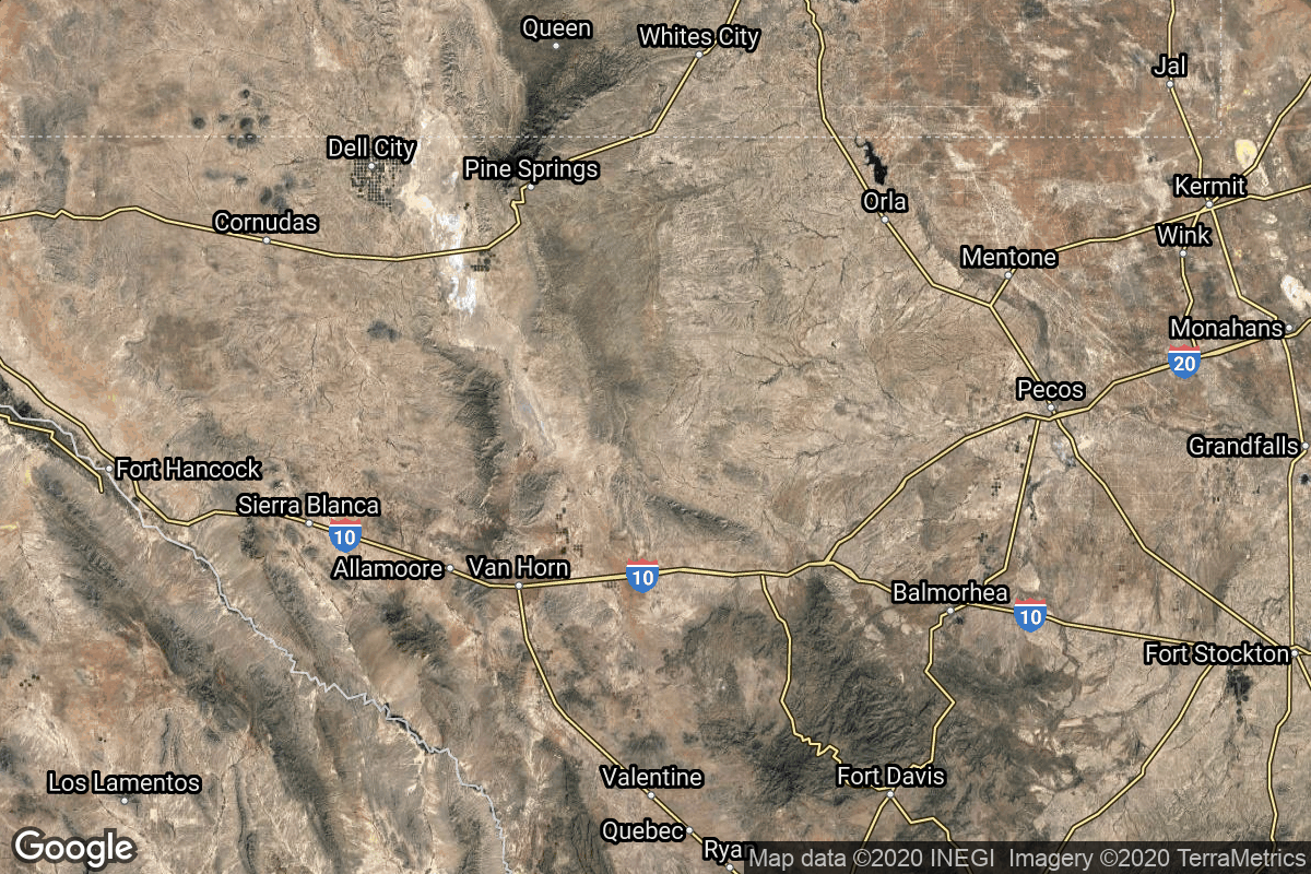
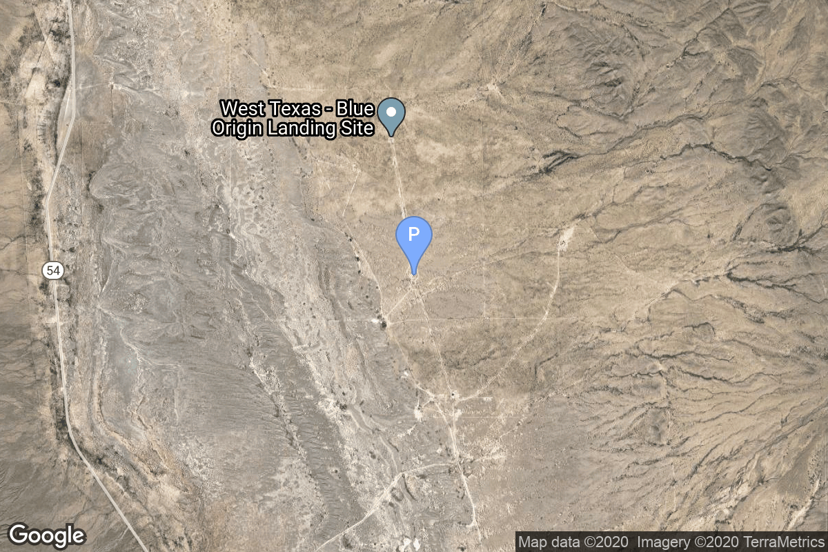
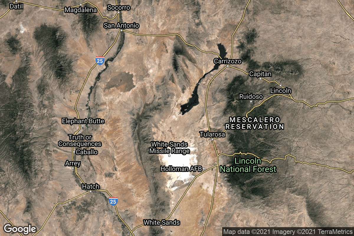
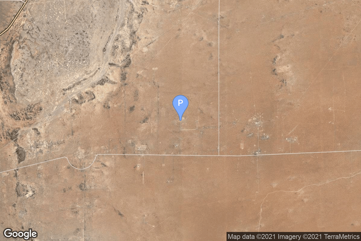
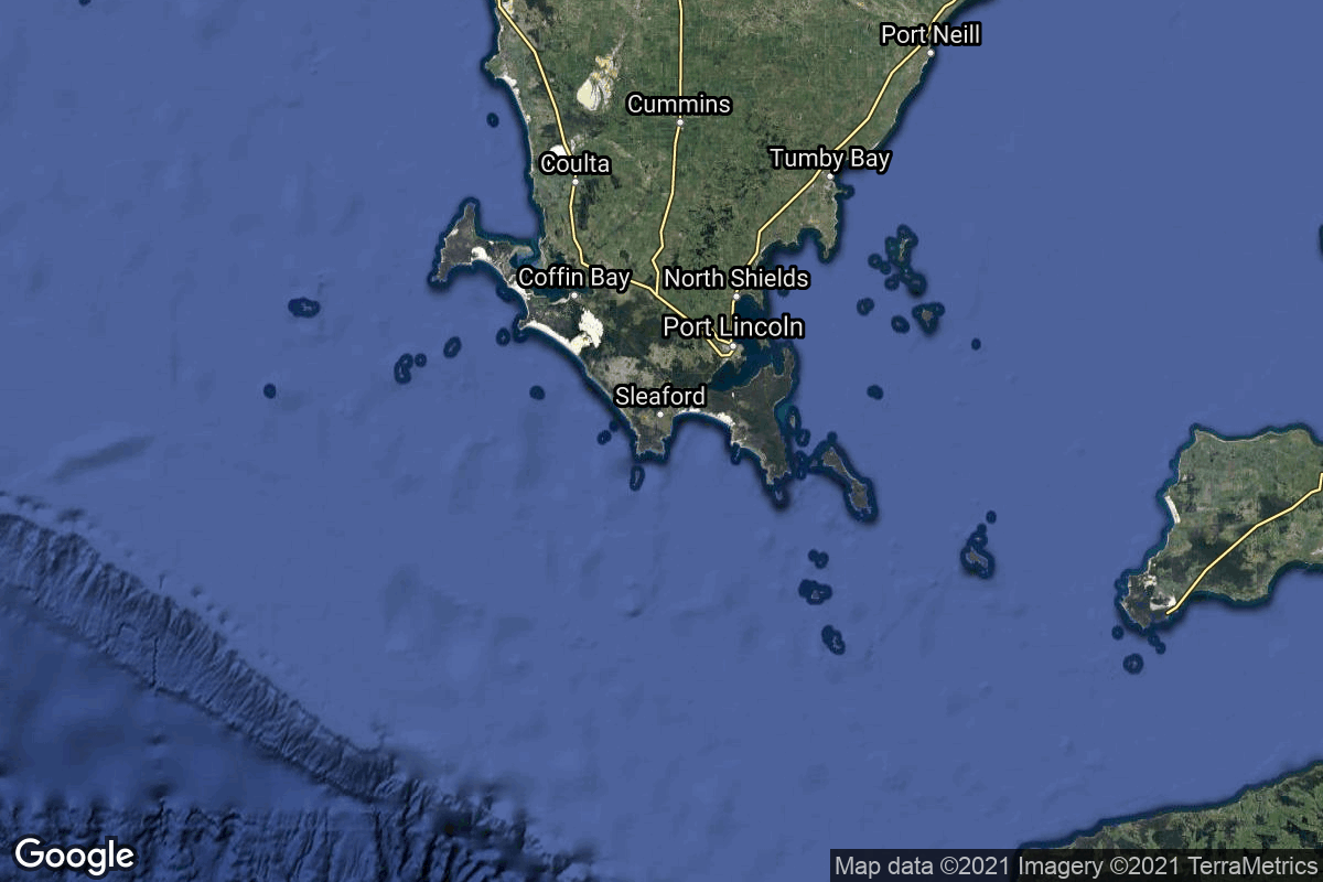
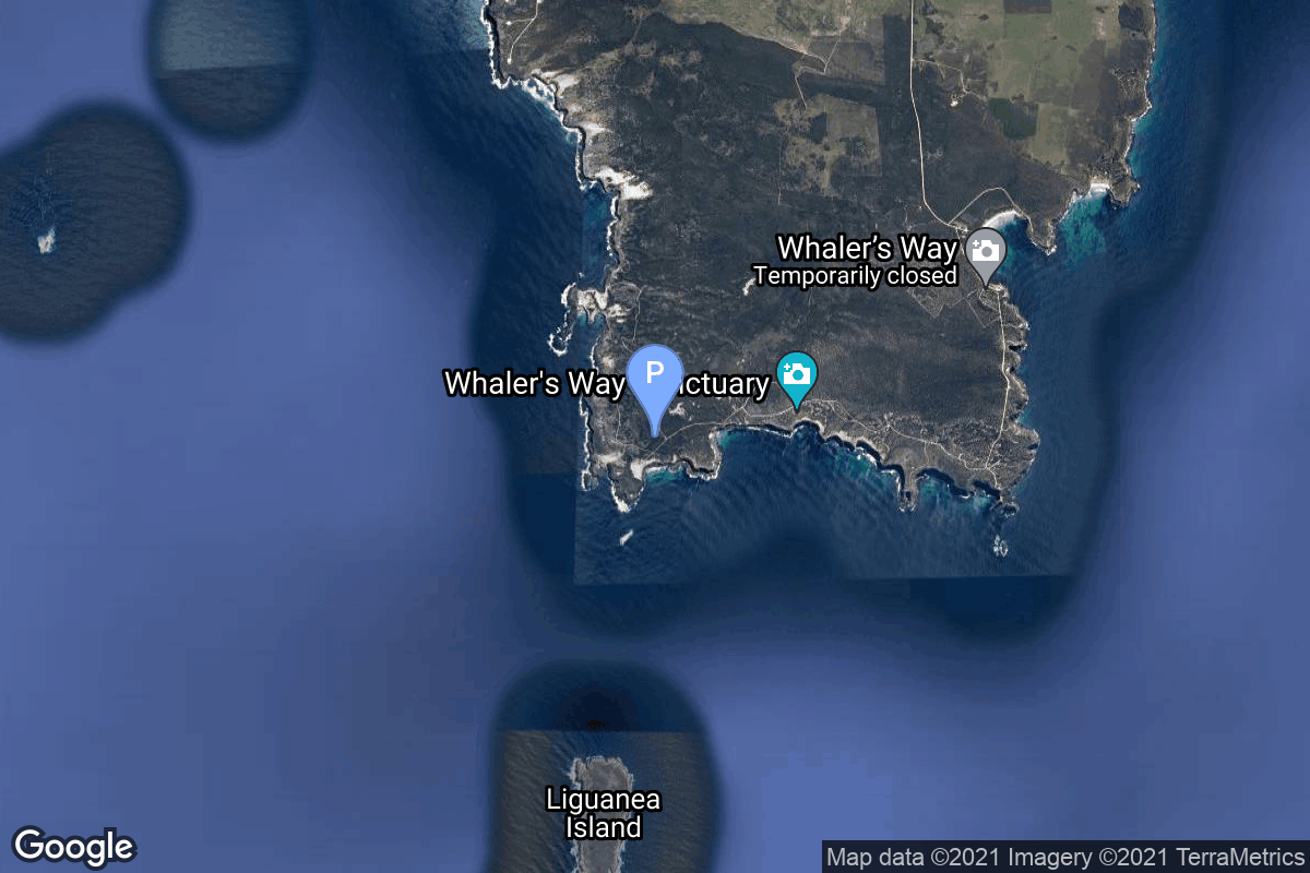
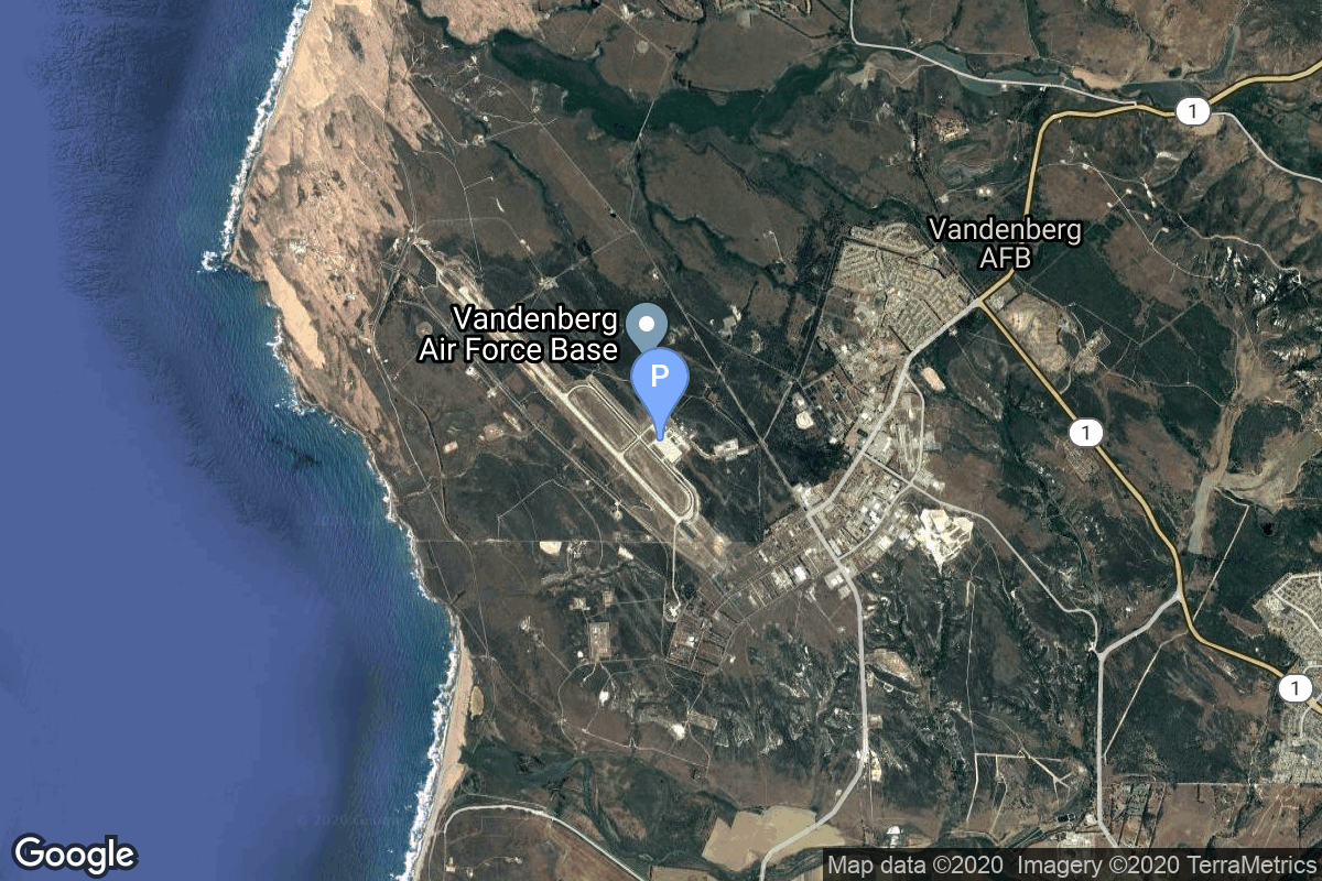
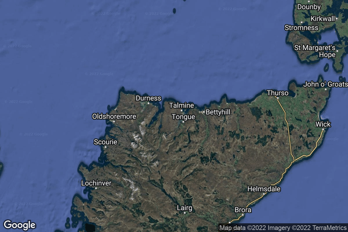
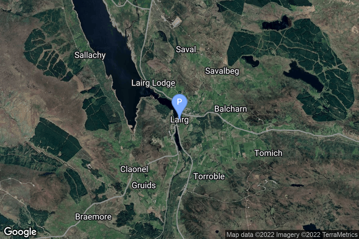
{ "count": 220, "next": "https://lldev.thespacedevs.com/2.2.0/pad/?format=api&limit=10&offset=210&ordering=-orbital_launch_attempt_count", "previous": "https://lldev.thespacedevs.com/2.2.0/pad/?format=api&limit=10&offset=190&ordering=-orbital_launch_attempt_count", "results": [ { "id": 104, "url": "https://lldev.thespacedevs.com/2.2.0/pad/104/?format=api", "agency_id": null, "name": "Guam International Airport", "description": null, "info_url": null, "wiki_url": "https://en.wikipedia.org/wiki/Antonio_B._Won_Pat_International_Airport", "map_url": "https://www.google.com/maps?q=13.483889,144.797222", "latitude": "13.483889", "longitude": "144.797222", "location": { "id": 20, "url": "https://lldev.thespacedevs.com/2.2.0/location/20/?format=api", "name": "Air launch to orbit", "country_code": "???", "description": "", "map_image": "https://thespacedevs-prod.nyc3.digitaloceanspaces.com/media/map_images/location_20_20200803142433.jpg", "timezone_name": "", "total_launch_count": 51, "total_landing_count": 0 }, "country_code": "USA", "map_image": "https://thespacedevs-prod.nyc3.digitaloceanspaces.com/media/map_images/pad_104_20200803143546.jpg", "total_launch_count": 0, "orbital_launch_attempt_count": 0 }, { "id": 78, "url": "https://lldev.thespacedevs.com/2.2.0/pad/78/?format=api", "agency_id": null, "name": "Unknown Pad", "description": null, "info_url": null, "wiki_url": "https://en.wikipedia.org/wiki/Wenchang_Satellite_Launch_Center", "map_url": "https://www.google.com/maps?q=19.614354,110.951057", "latitude": "19.614354", "longitude": "110.951057", "location": { "id": 8, "url": "https://lldev.thespacedevs.com/2.2.0/location/8/?format=api", "name": "Wenchang Space Launch Site, People's Republic of China", "country_code": "CHN", "description": "The Wenchang Space Launch Site is a rocket launch site located in Wenchang on the island of Hainan, in China.\r\n\r\nFormally a suborbital test center, it currently serves as China's southernmost spaceport. The site was selected for its low latitude, 19° north of the equator, allowing for larger payloads to be launched. It is capable of launching the Long March 5, the heaviest Chinese rocket. Unlike launch facilities on the mainland, Wenchang uses its seaport for deliveries.", "map_image": "https://thespacedevs-prod.nyc3.digitaloceanspaces.com/media/map_images/location_8_20200803142445.jpg", "timezone_name": "Asia/Shanghai", "total_launch_count": 39, "total_landing_count": 0 }, "country_code": "CHN", "map_image": "https://thespacedevs-prod.nyc3.digitaloceanspaces.com/media/map_images/pad_78_20200803143548.jpg", "total_launch_count": 0, "orbital_launch_attempt_count": 0 }, { "id": 210, "url": "https://lldev.thespacedevs.com/2.2.0/pad/210/?format=api", "agency_id": null, "name": "Unknown Pad", "description": null, "info_url": null, "wiki_url": null, "map_url": null, "latitude": "-39.260881", "longitude": "177.865826", "location": { "id": 10, "url": "https://lldev.thespacedevs.com/2.2.0/location/10/?format=api", "name": "Rocket Lab Launch Complex 1, Mahia Peninsula, New Zealand", "country_code": "NZL", "description": "Rocket Lab Launch Complex 1 is a commercial spaceport located close to Ahuriri Point at the southern tip of Māhia Peninsula, on the east coast of New Zealand's North Island. It is owned and operated by private spaceflight company Rocket Lab and supports launches of the company's Electron rocket for small satellites. With the launch of Electron on 25 May 2017, it became the first private spaceport to host an orbital launch attempt, and the first site in New Zealand to host an orbital launch attempt. With the Electron launch of 21 January 2018, it became the first private spaceport to host a successful orbital launch.", "map_image": "https://thespacedevs-prod.nyc3.digitaloceanspaces.com/media/map_images/location_10_20200803142509.jpg", "timezone_name": "Pacific/Auckland", "total_launch_count": 60, "total_landing_count": 17 }, "country_code": "NZL", "map_image": "https://thespacedevs-prod.nyc3.digitaloceanspaces.com/media/map_images/pad_210_20230819165718.jpg", "total_launch_count": 0, "orbital_launch_attempt_count": 0 }, { "id": 222, "url": "https://lldev.thespacedevs.com/2.2.0/pad/222/?format=api", "agency_id": null, "name": "Commercial LC-3", "description": "", "info_url": null, "wiki_url": "https://en.wikipedia.org/wiki/Wenchang_Commercial_Space_Launch_Site", "map_url": "https://www.google.com/maps?q=19.5945793,110.9260013", "latitude": "19.5945793", "longitude": "110.9260013", "location": { "id": 8, "url": "https://lldev.thespacedevs.com/2.2.0/location/8/?format=api", "name": "Wenchang Space Launch Site, People's Republic of China", "country_code": "CHN", "description": "The Wenchang Space Launch Site is a rocket launch site located in Wenchang on the island of Hainan, in China.\r\n\r\nFormally a suborbital test center, it currently serves as China's southernmost spaceport. The site was selected for its low latitude, 19° north of the equator, allowing for larger payloads to be launched. It is capable of launching the Long March 5, the heaviest Chinese rocket. Unlike launch facilities on the mainland, Wenchang uses its seaport for deliveries.", "map_image": "https://thespacedevs-prod.nyc3.digitaloceanspaces.com/media/map_images/location_8_20200803142445.jpg", "timezone_name": "Asia/Shanghai", "total_launch_count": 39, "total_landing_count": 0 }, "country_code": "CHN", "map_image": "https://thespacedevs-prod.nyc3.digitaloceanspaces.com/media/map_images/pad_commercial_lc-3_20240627115237.jpg", "total_launch_count": 0, "orbital_launch_attempt_count": 0 }, { "id": 90, "url": "https://lldev.thespacedevs.com/2.2.0/pad/90/?format=api", "agency_id": 141, "name": "West Texas Suborbital Launch Site/ Corn Ranch", "description": null, "info_url": "https://www.blueorigin.com", "wiki_url": "https://en.wikipedia.org/wiki/Corn_Ranch", "map_url": "https://www.google.com/maps?q=31.422878000000000,-104.757121000000000", "latitude": "31.422878", "longitude": "-104.757121", "location": { "id": 29, "url": "https://lldev.thespacedevs.com/2.2.0/location/29/?format=api", "name": "Corn Ranch, Van Horn, TX, USA", "country_code": "USA", "description": "Corn Ranch, commonly referred to as Launch Site One (LSO), is a spaceport owned and operated by Blue Origin which is located approximately 30 miles north of the town of Van Horn, Texas, United States.", "map_image": "https://thespacedevs-prod.nyc3.digitaloceanspaces.com/media/map_images/location_29_20200803142436.jpg", "timezone_name": "America/Chicago", "total_launch_count": 32, "total_landing_count": 32 }, "country_code": "USA", "map_image": "https://thespacedevs-prod.nyc3.digitaloceanspaces.com/media/map_images/pad_90_20200803143233.jpg", "total_launch_count": 32, "orbital_launch_attempt_count": 0 }, { "id": 194, "url": "https://lldev.thespacedevs.com/2.2.0/pad/194/?format=api", "agency_id": 165, "name": "Launch Complex 36", "description": null, "info_url": null, "wiki_url": "https://en.wikipedia.org/wiki/White_Sands_Launch_Complex_36", "map_url": "https://www.google.com/maps?q=32.416944,-106.321944", "latitude": "32.416944", "longitude": "-106.321944", "location": { "id": 155, "url": "https://lldev.thespacedevs.com/2.2.0/location/155/?format=api", "name": "White Sands Missile Range", "country_code": "USA", "description": "White Sands Missile Range is a United States Army military testing area and firing range located in the US state of New Mexico. The range was originally established in 1941 as the Alamogordo Bombing and Gunnery Range, where the Trinity test site lay at the northern end of the Range, in Socorro County near the towns of Carrizozo and San Antonio. It then became the White Sands Proving Ground on 9 July 1945.", "map_image": "https://thespacedevs-prod.nyc3.digitaloceanspaces.com/media/map_images/location_white_sands_missile_range_20210901072636.jpg", "timezone_name": "America/Denver", "total_launch_count": 5, "total_landing_count": 0 }, "country_code": "USA", "map_image": "https://thespacedevs-prod.nyc3.digitaloceanspaces.com/media/map_images/pad_launch_complex_36_20210901072730.jpg", "total_launch_count": 5, "orbital_launch_attempt_count": 0 }, { "id": 197, "url": "https://lldev.thespacedevs.com/2.2.0/pad/197/?format=api", "agency_id": 1028, "name": "Pad 1", "description": null, "info_url": "https://www.southernlaunch.space/whalers-way-orbital-launch-complex", "wiki_url": "https://en.wikipedia.org/wiki/Whalers_Way_Orbital_Launch_Complex", "map_url": "https://www.google.com/maps?q=-34.937822,135.630035", "latitude": "-34.937822", "longitude": "135.630035", "location": { "id": 156, "url": "https://lldev.thespacedevs.com/2.2.0/location/156/?format=api", "name": "Whalers Way Orbital Launch Complex, South Australia", "country_code": "AUS", "description": "Whalers Way Orbital Launch Complex is a rocket-launching facility operated by Southern Launch at Whalers Way, in the locality of Sleaford near Port Lincoln on South Australia's Eyre Peninsula.", "map_image": "https://thespacedevs-prod.nyc3.digitaloceanspaces.com/media/map_images/location_whalers_way_orbital_launch_complex_20210910042508.jpg", "timezone_name": "Australia/Adelaide", "total_launch_count": 1, "total_landing_count": 0 }, "country_code": "AUS", "map_image": "https://thespacedevs-prod.nyc3.digitaloceanspaces.com/media/map_images/pad_whalers_way_orbital_launch_complex_20210910042853.jpg", "total_launch_count": 1, "orbital_launch_attempt_count": 0 }, { "id": 174, "url": "https://lldev.thespacedevs.com/2.2.0/pad/174/?format=api", "agency_id": 161, "name": "Space Launch Complex 330", "description": "In June 2020, Relativity Space announced it plans to develop a second launch pad at Vandenberg Space Force Base in California to launch payloads into polar orbits and Sun-synchronous orbits, including the Iridium satellite launches, between 2023 and 2030.", "info_url": null, "wiki_url": "https://en.wikipedia.org/wiki/Relativity_Space#Vandenberg_Space_Force_Base_Building_330", "map_url": "https://www.google.com/maps?q=34.572855,-120.632976", "latitude": "34.572855", "longitude": "-120.632976", "location": { "id": 11, "url": "https://lldev.thespacedevs.com/2.2.0/location/11/?format=api", "name": "Vandenberg SFB, CA, USA", "country_code": "USA", "description": "Vandenberg Space Force Base is a United States Space Force Base in Santa Barbara County, California. Established in 1941, Vandenberg Space Force Base is a space launch base, launching spacecraft from the Western Range, and also performs missile testing. The United States Space Force's Space Launch Delta 30 serves as the host delta for the base, equivalent to an Air Force air base wing. In addition to its military space launch mission, Vandenberg Space Force Base also hosts space launches for civil and commercial space entities, such as NASA and SpaceX.", "map_image": "https://thespacedevs-prod.nyc3.digitaloceanspaces.com/media/map_images/location_11_20200803142416.jpg", "timezone_name": "America/Los_Angeles", "total_launch_count": 814, "total_landing_count": 26 }, "country_code": "USA", "map_image": "https://thespacedevs-prod.nyc3.digitaloceanspaces.com/media/map_images/pad_174_20200803143354.jpg", "total_launch_count": 0, "orbital_launch_attempt_count": 0 }, { "id": 201, "url": "https://lldev.thespacedevs.com/2.2.0/pad/201/?format=api", "agency_id": null, "name": "Launch Complex", "description": null, "info_url": null, "wiki_url": "https://en.wikipedia.org/wiki/Sutherland_spaceport", "map_url": "https://www.google.com/maps?q=58.022058,-4.402414", "latitude": "58.022058", "longitude": "-4.402414", "location": { "id": 159, "url": "https://lldev.thespacedevs.com/2.2.0/location/159/?format=api", "name": "Sutherland Spaceport", "country_code": "GBR", "description": "The Sutherland spaceport is a spaceport to be located in Sutherland in Scotland.", "map_image": "https://thespacedevs-prod.nyc3.digitaloceanspaces.com/media/map_images/location_sutherland_spaceport_20220511180155.jpg", "timezone_name": "Europe/London", "total_launch_count": 0, "total_landing_count": 0 }, "country_code": "GBR", "map_image": "https://thespacedevs-prod.nyc3.digitaloceanspaces.com/media/map_images/pad_201_20220511181044.jpg", "total_launch_count": 0, "orbital_launch_attempt_count": 0 }, { "id": 165, "url": "https://lldev.thespacedevs.com/2.2.0/pad/165/?format=api", "agency_id": null, "name": "67/21", "description": null, "info_url": null, "wiki_url": "https://en.wikipedia.org/wiki/Baikonur_Cosmodrome", "map_url": "https://www.google.com/maps?q=45.989,63.702806", "latitude": "45.989", "longitude": "63.702806", "location": { "id": 15, "url": "https://lldev.thespacedevs.com/2.2.0/location/15/?format=api", "name": "Baikonur Cosmodrome, Republic of Kazakhstan", "country_code": "KAZ", "description": "The Baikonur Cosmodrome is a spaceport operated by Russia within Kazakhstan. Located in the Kazakh city of Baikonur, it is the largest operational space launch facility in terms of area. All Russian crewed spaceflights are launched from Baikonur.", "map_image": "https://thespacedevs-prod.nyc3.digitaloceanspaces.com/media/map_images/location_15_20200803142517.jpg", "timezone_name": "Asia/Qyzylorda", "total_launch_count": 1555, "total_landing_count": 0 }, "country_code": "KAZ", "map_image": "https://thespacedevs-prod.nyc3.digitaloceanspaces.com/media/map_images/pad_165_20200803143444.jpg", "total_launch_count": 2, "orbital_launch_attempt_count": 0 } ] }