Pad List
API endpoint that allows Location instances to be viewed.
GET: Return a list of all the existing location instances.
FILTERS: Parameters - 'id', 'agency_id', 'name', 'name__contains', 'latitude', 'latitude__contains', 'longitude', 'longitude__contains', 'location__name', 'location__name__contains', 'location__id', 'orbital_launch_attempt_count', 'total_launch_count'
ORDERING: Fields - 'id', 'name', 'location__id', 'location__name', 'orbital_launch_attempt_count', 'total_launch_count'
Example - /2.2.0/pad/?ordering=location__name
GET /2.2.0/pad/?format=api&offset=190&ordering=-total_launch_count
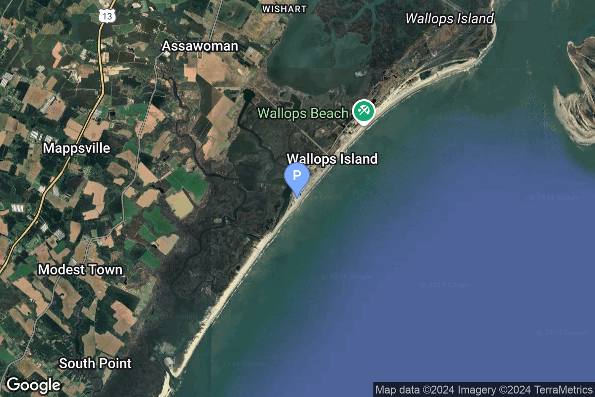
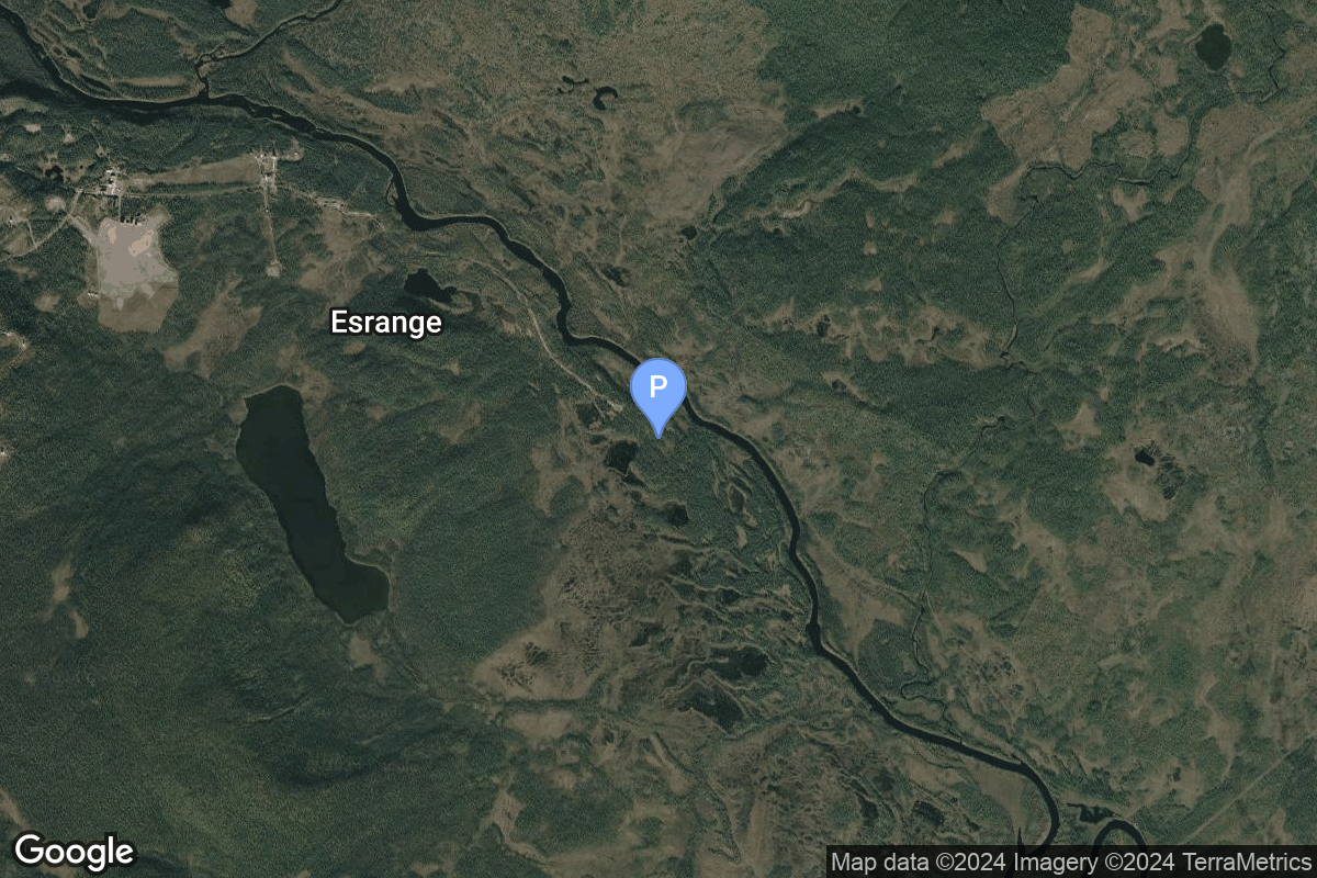
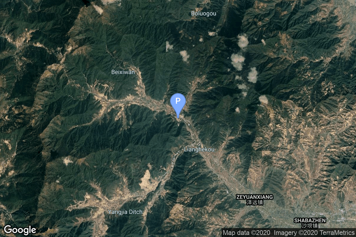
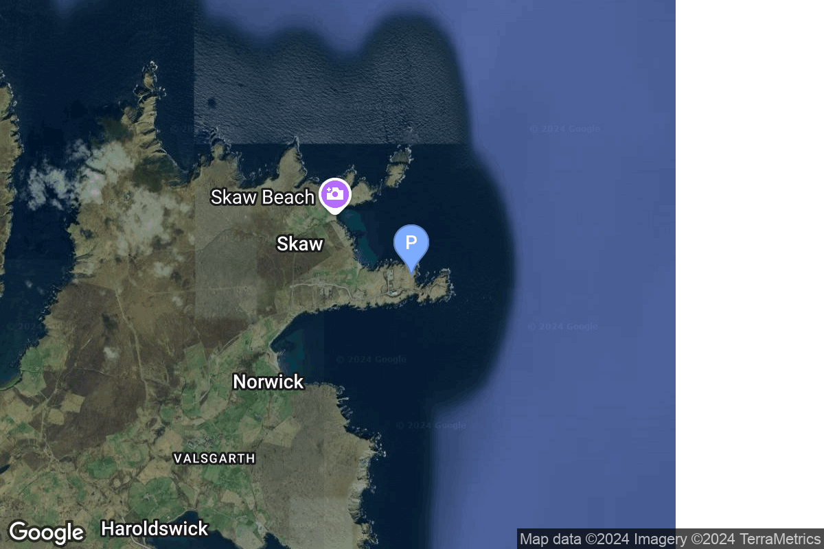
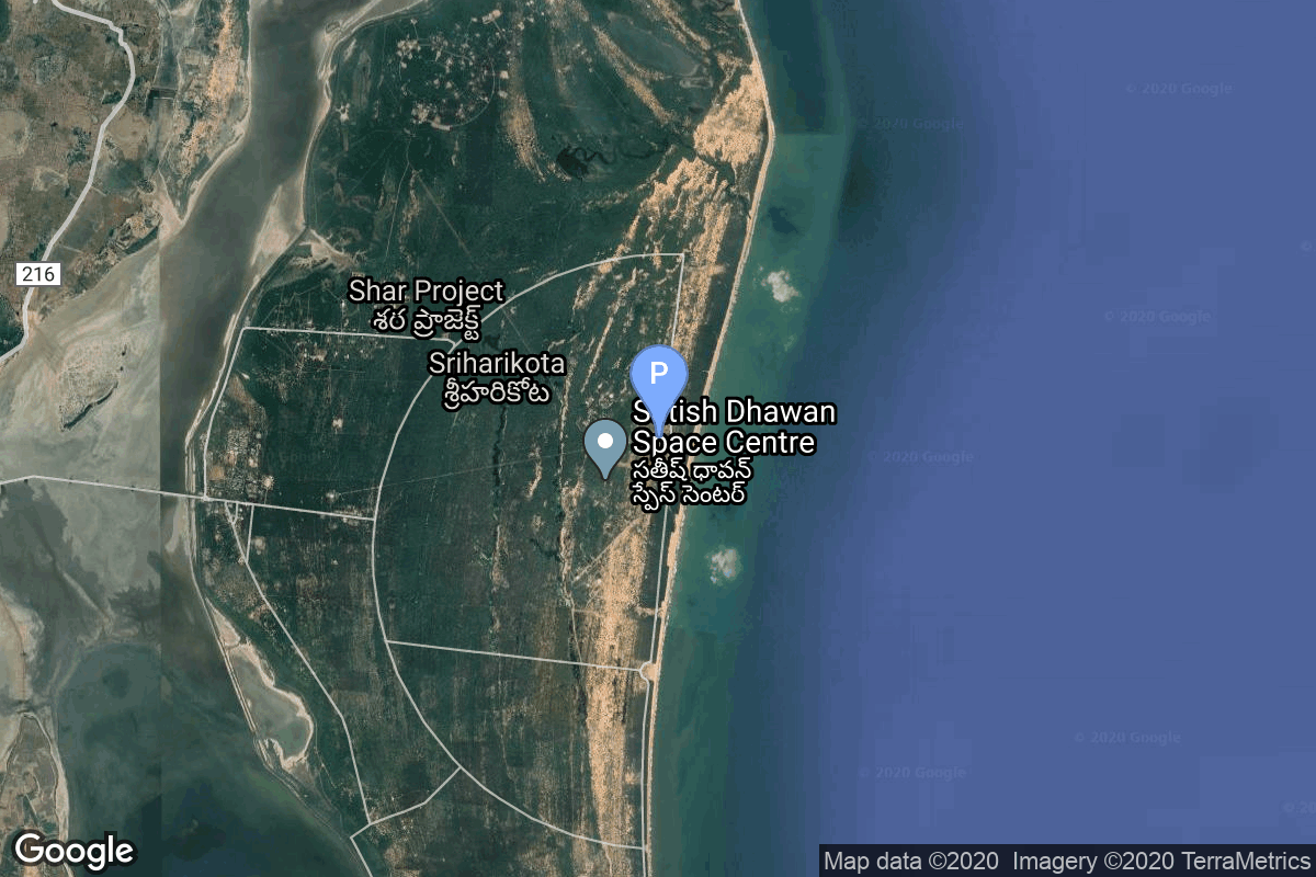
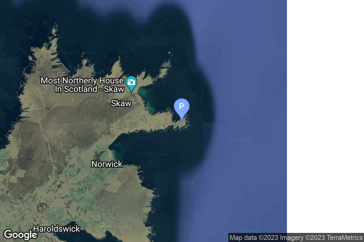
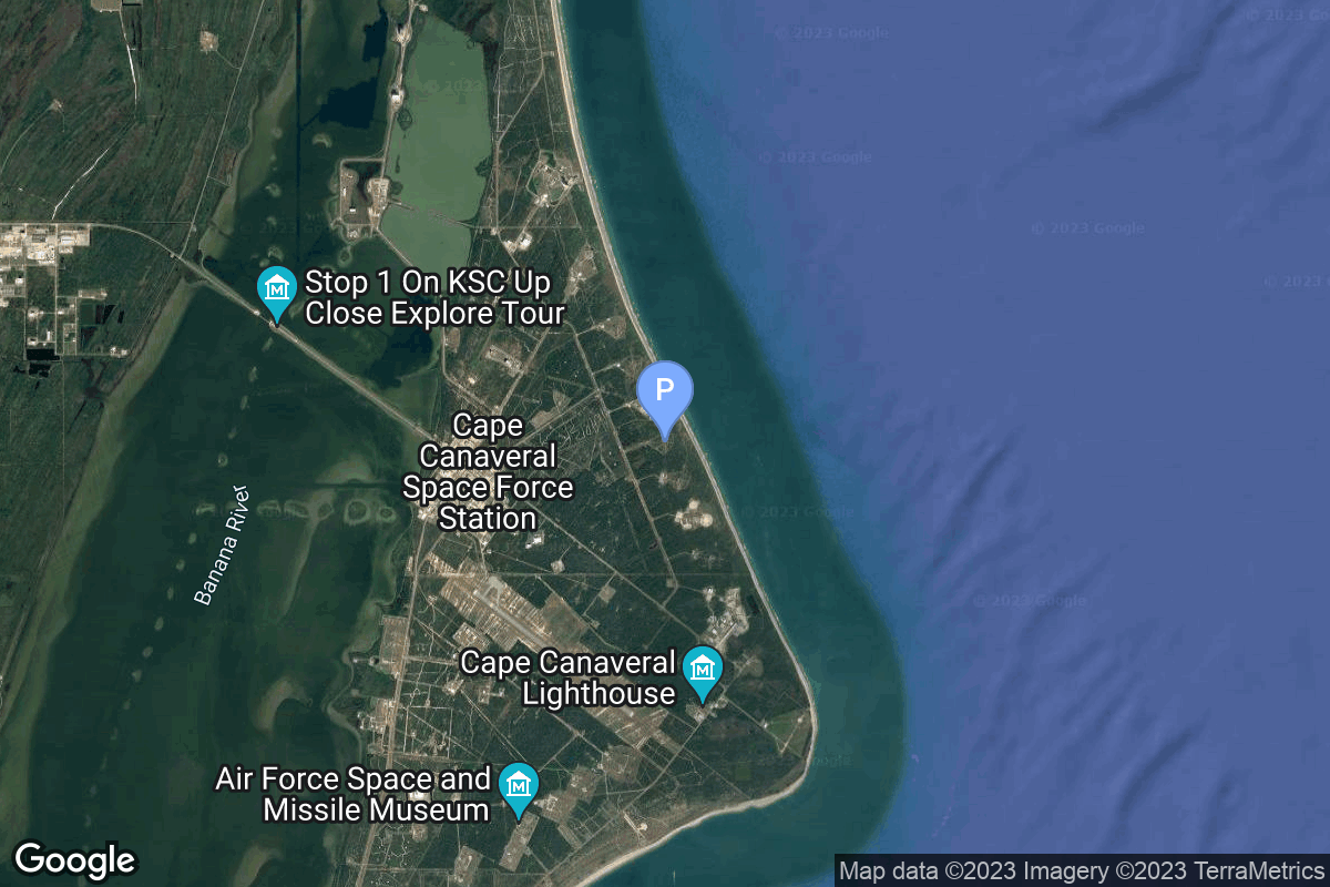
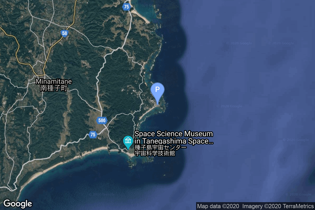
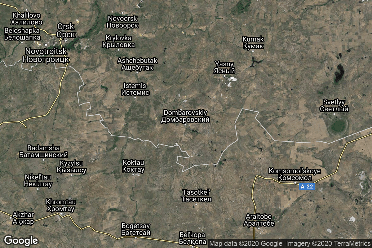
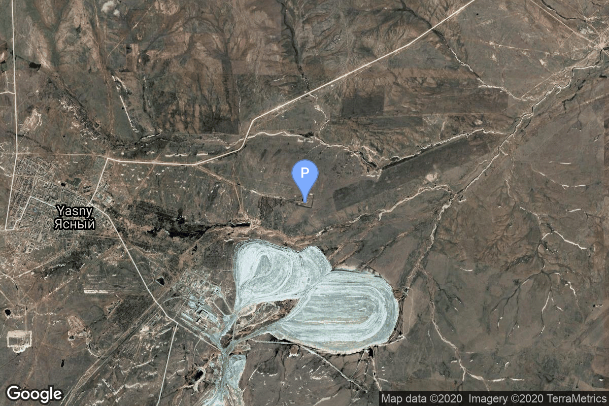
{ "count": 220, "next": "https://lldev.thespacedevs.com/2.2.0/pad/?format=api&limit=10&offset=200&ordering=-total_launch_count", "previous": "https://lldev.thespacedevs.com/2.2.0/pad/?format=api&limit=10&offset=180&ordering=-total_launch_count", "results": [ { "id": 214, "url": "https://lldev.thespacedevs.com/2.2.0/pad/214/?format=api", "agency_id": null, "name": "Launch Pad Elizabeth", "description": "Named after the late Queen Elizabeth II, the pad will support launch operations of US-based launchers.\r\n\r\nIt is located at the most northern tip of the UK, allowing for extra security control to meet ITAR regulations.", "info_url": null, "wiki_url": null, "map_url": null, "latitude": null, "longitude": null, "location": { "id": 157, "url": "https://lldev.thespacedevs.com/2.2.0/location/157/?format=api", "name": "SaxaVord Spaceport", "country_code": "GBR", "description": "SaxaVord Spaceport is a UK spaceport located on the Lamba Ness peninsula on Unst, the most northerly of the inhabited Shetland Islands off the coast of Scotland. The site is near the RAF Saxa Vord radar station and the settlement of Skaw, adjacent to the Saxa Vord distillery.", "map_image": "https://thespacedevs-prod.nyc3.digitaloceanspaces.com/media/map_images/location_saxavord_spaceport_20211102161146.jpg", "timezone_name": "Europe/London", "total_launch_count": 0, "total_landing_count": 0 }, "country_code": "GBR", "map_image": "https://thespacedevs-prod.nyc3.digitaloceanspaces.com/media/map_images/pad_launch_pad_elizabeth_20231013025957.jpg", "total_launch_count": 0, "orbital_launch_attempt_count": 0 }, { "id": 234, "url": "https://lldev.thespacedevs.com/2.2.0/pad/234/?format=api", "agency_id": 147, "name": "Rocket Lab Launch Complex 3 (Launch Area 0 D)", "description": "", "info_url": null, "wiki_url": null, "map_url": "https://www.google.com/maps?q=37.8321693,-75.4899046", "latitude": "37.8321693", "longitude": "-75.4899046", "location": { "id": 21, "url": "https://lldev.thespacedevs.com/2.2.0/location/21/?format=api", "name": "Wallops Flight Facility, Virginia, USA", "country_code": "USA", "description": "Wallops Flight Facility is a rocket launch site on Wallops Island on the Eastern Shore of Virginia, United States, just east of the Delmarva Peninsula and north-northeast of Norfolk. The facility is operated by the Goddard Space Flight Center in Greenbelt, Maryland, and primarily serves to support science and exploration missions for NASA and other federal agencies. WFF includes an extensively instrumented range to support launches of more than a dozen types of sounding rockets; small expendable suborbital and orbital rockets; high-altitude balloon flights carrying scientific instruments for atmospheric and astronomical research; and, using its Research Airport, flight tests of aeronautical research aircraft, including uncrewed aerial vehicles.", "map_image": "https://thespacedevs-prod.nyc3.digitaloceanspaces.com/media/map_images/location_21_20200803142423.jpg", "timezone_name": "America/New_York", "total_launch_count": 80, "total_landing_count": 0 }, "country_code": "USA", "map_image": "https://thespacedevs-prod.nyc3.digitaloceanspaces.com/media/map_images/pad_rocket_lab_launch_complex_3_2528launch_area_0_d2529_20241115175136.jpg", "total_launch_count": 0, "orbital_launch_attempt_count": 0 }, { "id": 236, "url": "https://lldev.thespacedevs.com/2.2.0/pad/236/?format=api", "agency_id": null, "name": "Launch Complex 3C", "description": "Launch complex for the United States launch service provider Firefly Aerospace's Alpha launch vehicle at Esrange.", "info_url": null, "wiki_url": "https://en.wikipedia.org/wiki/Esrange#Satellite_launch_capability", "map_url": "https://www.google.com/maps?q=67.876724,21.166866", "latitude": "67.876724", "longitude": "21.166866", "location": { "id": 178, "url": "https://lldev.thespacedevs.com/2.2.0/location/178/?format=api", "name": "Esrange Space Center", "country_code": "SWE", "description": "Esrange Space Center is a rocket range and research centre located about 40 kilometers east of the town of Kiruna in northern Sweden. It is a base for scientific research with high-altitude balloons, investigation of the aurora borealis, sounding rocket launches, and satellite tracking. Built in 1964 by ESRO, one of the predecessors of the European Space Agency, the site is currently operated by the Swedish Space Corporation. An orbital launch complex, LC-3, has been built in the early 2020s.", "map_image": "https://thespacedevs-prod.nyc3.digitaloceanspaces.com/media/map_images/location_esrange_space_center_20241208021356.jpg", "timezone_name": "Europe/Stockholm", "total_launch_count": 0, "total_landing_count": 0 }, "country_code": "SWE", "map_image": "https://thespacedevs-prod.nyc3.digitaloceanspaces.com/media/map_images/pad_launch_complex_3c_20241208021831.jpg", "total_launch_count": 0, "orbital_launch_attempt_count": 0 }, { "id": 86, "url": "https://lldev.thespacedevs.com/2.2.0/pad/86/?format=api", "agency_id": 17, "name": "Unknown Pad", "description": null, "info_url": null, "wiki_url": "https://en.wikipedia.org/wiki/Xichang_Satellite_Launch_Center", "map_url": "https://www.google.com/maps?q=28.246017,102.026556", "latitude": "28.246017", "longitude": "102.026556", "location": { "id": 16, "url": "https://lldev.thespacedevs.com/2.2.0/location/16/?format=api", "name": "Xichang Satellite Launch Center, People's Republic of China", "country_code": "CHN", "description": "The Xichang Satellite Launch Center is a spaceport in China. It is located in Zeyuan Town, northwest of Xichang, Liangshan Yi Autonomous Prefecture in Sichuan.", "map_image": "https://thespacedevs-prod.nyc3.digitaloceanspaces.com/media/map_images/location_16_20200803142513.jpg", "timezone_name": "Asia/Shanghai", "total_launch_count": 227, "total_landing_count": 0 }, "country_code": "CHN", "map_image": "https://thespacedevs-prod.nyc3.digitaloceanspaces.com/media/map_images/pad_86_20200803143555.jpg", "total_launch_count": 0, "orbital_launch_attempt_count": 0 }, { "id": 237, "url": "https://lldev.thespacedevs.com/2.2.0/pad/237/?format=api", "agency_id": null, "name": "Unknown Pad", "description": "", "info_url": null, "wiki_url": "https://en.wikipedia.org/wiki/SaxaVord_Spaceport", "map_url": "https://www.google.com/maps?q=60.8184,-0.7692", "latitude": "60.8184", "longitude": "-0.7692", "location": { "id": 157, "url": "https://lldev.thespacedevs.com/2.2.0/location/157/?format=api", "name": "SaxaVord Spaceport", "country_code": "GBR", "description": "SaxaVord Spaceport is a UK spaceport located on the Lamba Ness peninsula on Unst, the most northerly of the inhabited Shetland Islands off the coast of Scotland. The site is near the RAF Saxa Vord radar station and the settlement of Skaw, adjacent to the Saxa Vord distillery.", "map_image": "https://thespacedevs-prod.nyc3.digitaloceanspaces.com/media/map_images/location_saxavord_spaceport_20211102161146.jpg", "timezone_name": "Europe/London", "total_launch_count": 0, "total_landing_count": 0 }, "country_code": "GBR", "map_image": "https://thespacedevs-prod.nyc3.digitaloceanspaces.com/media/map_images/pad_unknown_pad_20241227075133.jpg", "total_launch_count": 0, "orbital_launch_attempt_count": 0 }, { "id": 73, "url": "https://lldev.thespacedevs.com/2.2.0/pad/73/?format=api", "agency_id": null, "name": "Unknown Pad", "description": "There is more then one possible pad for this launch.", "info_url": null, "wiki_url": null, "map_url": "https://www.google.com/maps?q=13.733,80.235", "latitude": "13.733", "longitude": "80.235", "location": { "id": 14, "url": "https://lldev.thespacedevs.com/2.2.0/location/14/?format=api", "name": "Satish Dhawan Space Centre, India", "country_code": "IND", "description": "Satish Dhawan Space Centre – SDSC (formerly Sriharikota Range – SHAR),[1] is the primary spaceport of the Indian Space Research Organisation (ISRO), located in Sriharikota, Andhra Pradesh.", "map_image": "https://thespacedevs-prod.nyc3.digitaloceanspaces.com/media/map_images/location_14_20200803142403.jpg", "timezone_name": "Asia/Kolkata", "total_launch_count": 99, "total_landing_count": 0 }, "country_code": "IND", "map_image": "https://thespacedevs-prod.nyc3.digitaloceanspaces.com/media/map_images/pad_73_20200803143531.jpg", "total_launch_count": 0, "orbital_launch_attempt_count": 0 }, { "id": 205, "url": "https://lldev.thespacedevs.com/2.2.0/pad/205/?format=api", "agency_id": 1045, "name": "Launch Pad Fredo", "description": null, "info_url": "https://saxavord.com/", "wiki_url": "https://en.wikipedia.org/wiki/SaxaVord_Spaceport", "map_url": "https://www.google.com/maps?q=60.81736038715111,-0.7626391593025057", "latitude": "60.81736038715111", "longitude": "-0.7626391593025057", "location": { "id": 157, "url": "https://lldev.thespacedevs.com/2.2.0/location/157/?format=api", "name": "SaxaVord Spaceport", "country_code": "GBR", "description": "SaxaVord Spaceport is a UK spaceport located on the Lamba Ness peninsula on Unst, the most northerly of the inhabited Shetland Islands off the coast of Scotland. The site is near the RAF Saxa Vord radar station and the settlement of Skaw, adjacent to the Saxa Vord distillery.", "map_image": "https://thespacedevs-prod.nyc3.digitaloceanspaces.com/media/map_images/location_saxavord_spaceport_20211102161146.jpg", "timezone_name": "Europe/London", "total_launch_count": 0, "total_landing_count": 0 }, "country_code": "GBR", "map_image": "https://thespacedevs-prod.nyc3.digitaloceanspaces.com/media/map_images/pad_launch_pad_fredo_20230112225206.jpg", "total_launch_count": 0, "orbital_launch_attempt_count": 0 }, { "id": 206, "url": "https://lldev.thespacedevs.com/2.2.0/pad/206/?format=api", "agency_id": 1030, "name": "Space Launch Complex 15", "description": null, "info_url": null, "wiki_url": "https://en.wikipedia.org/wiki/Cape_Canaveral_Launch_Complex_15", "map_url": "https://www.google.com/maps?q=28.4963,-80.5493", "latitude": "28.4963", "longitude": "-80.5493", "location": { "id": 12, "url": "https://lldev.thespacedevs.com/2.2.0/location/12/?format=api", "name": "Cape Canaveral SFS, FL, USA", "country_code": "USA", "description": "Cape Canaveral Space Force Station (CCSFS) is an installation of the United States Space Force's Space Launch Delta 45, located on Cape Canaveral in Brevard County, Florida.", "map_image": "https://thespacedevs-prod.nyc3.digitaloceanspaces.com/media/map_images/location_12_20200803142519.jpg", "timezone_name": "America/New_York", "total_launch_count": 1031, "total_landing_count": 64 }, "country_code": "USA", "map_image": "https://thespacedevs-prod.nyc3.digitaloceanspaces.com/media/map_images/pad_space_launch_complex_15_20230308080759.jpg", "total_launch_count": 0, "orbital_launch_attempt_count": 0 }, { "id": 69, "url": "https://lldev.thespacedevs.com/2.2.0/pad/69/?format=api", "agency_id": null, "name": "Unknown Pad", "description": null, "info_url": null, "wiki_url": "", "map_url": "https://www.google.com/maps?q=30.401,130.977", "latitude": "30.401", "longitude": "130.977", "location": { "id": 26, "url": "https://lldev.thespacedevs.com/2.2.0/location/26/?format=api", "name": "Tanegashima Space Center, Japan", "country_code": "JPN", "description": "The Tanegashima Space Center is the largest rocket-launch complex in Japan. It is located on the southeastern tip of Tanegashima, an island located south of Kyushu, an island and region and Japan. It was established in 1969 when the National Space Development Agency of Japan (NASDA) was formed, and is now run by JAXA. The activities that take place at TNSC include assembly, testing, launching, and tracking satellites, as well as rocket engine firing tests.", "map_image": "https://thespacedevs-prod.nyc3.digitaloceanspaces.com/media/map_images/location_26_20200803142507.jpg", "timezone_name": "Asia/Tokyo", "total_launch_count": 94, "total_landing_count": 0 }, "country_code": "JPN", "map_image": "https://thespacedevs-prod.nyc3.digitaloceanspaces.com/media/map_images/pad_69_20200803143529.jpg", "total_launch_count": 0, "orbital_launch_attempt_count": 0 }, { "id": 44, "url": "https://lldev.thespacedevs.com/2.2.0/pad/44/?format=api", "agency_id": null, "name": "Unknown Pad", "description": null, "info_url": null, "wiki_url": "", "map_url": "https://www.google.com/maps?q=51.036,59.958", "latitude": "51.036", "longitude": "59.958", "location": { "id": 5, "url": "https://lldev.thespacedevs.com/2.2.0/location/5/?format=api", "name": "Dombarovskiy, Russian Federation", "country_code": "RUS", "description": "Dombarovsky is a military airbase near Yasny in Russia's Orenburg Oblast. Operated by the Soviet Air Defence Forces and later by the Russian Air Force, it hosted fighter interceptor squadrons and hosts an ICBM base (which has been adapted for commercial satellite launches) with a supporting helicopter base.", "map_image": "https://thespacedevs-prod.nyc3.digitaloceanspaces.com/media/map_images/location_5_20200803142425.jpg", "timezone_name": "Asia/Yekaterinburg", "total_launch_count": 10, "total_landing_count": 0 }, "country_code": "RUS", "map_image": "https://thespacedevs-prod.nyc3.digitaloceanspaces.com/media/map_images/pad_44_20200803143327.jpg", "total_launch_count": 0, "orbital_launch_attempt_count": 0 } ] }