Pad List
API endpoint that allows Location instances to be viewed.
GET: Return a list of all the existing location instances.
FILTERS: Parameters - 'id', 'agency_id', 'name', 'name__contains', 'latitude', 'latitude__contains', 'longitude', 'longitude__contains', 'location__name', 'location__name__contains', 'location__id', 'orbital_launch_attempt_count', 'total_launch_count'
ORDERING: Fields - 'id', 'name', 'location__id', 'location__name', 'orbital_launch_attempt_count', 'total_launch_count'
Example - /2.2.0/pad/?ordering=location__name
GET /2.2.0/pad/?format=api&offset=160&ordering=name
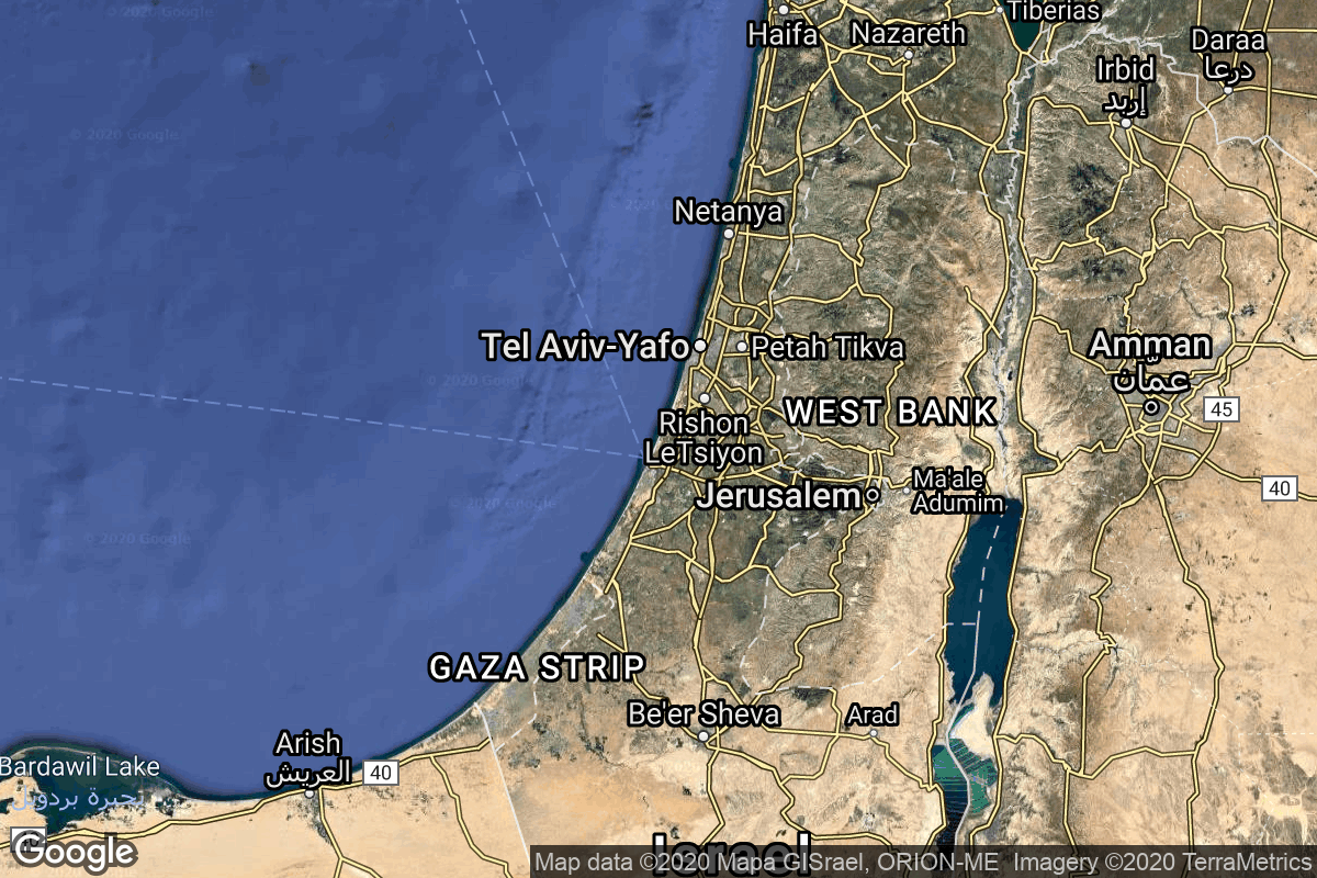
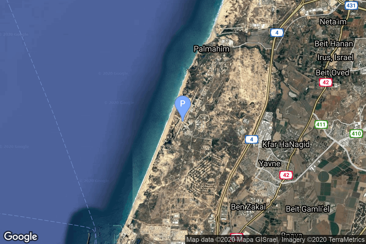
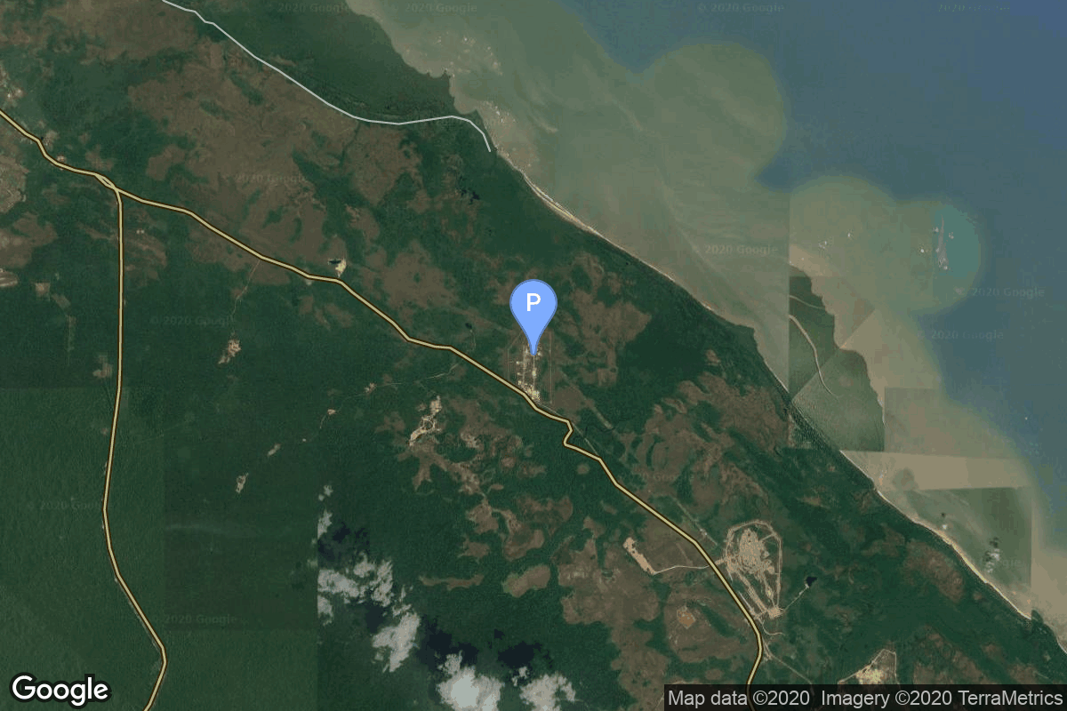
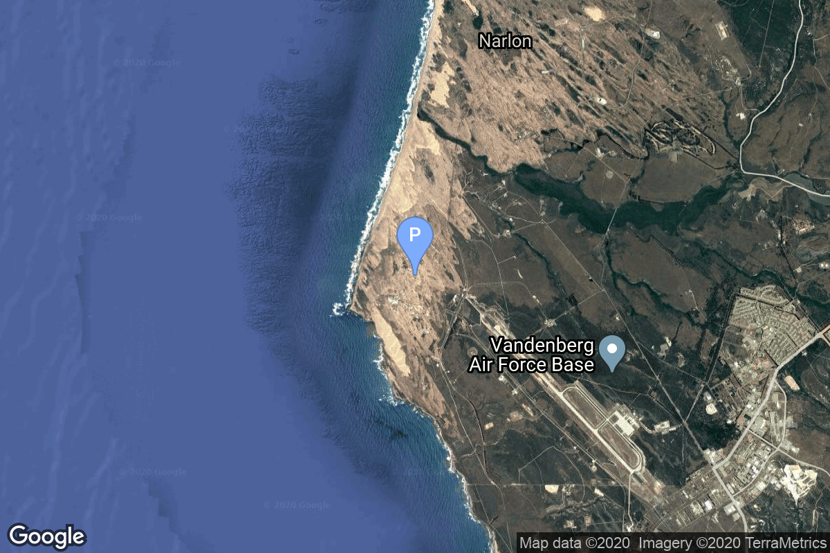
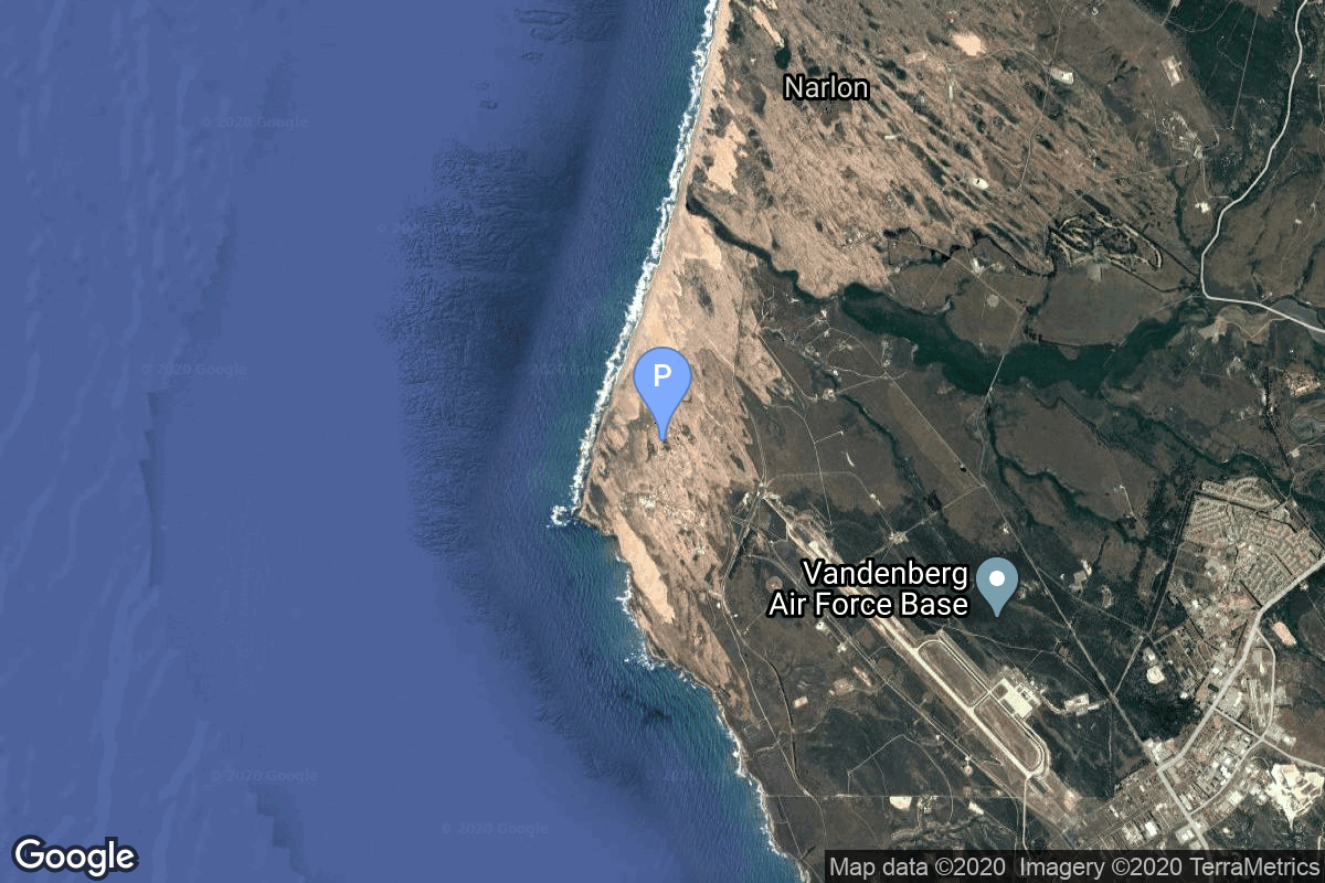
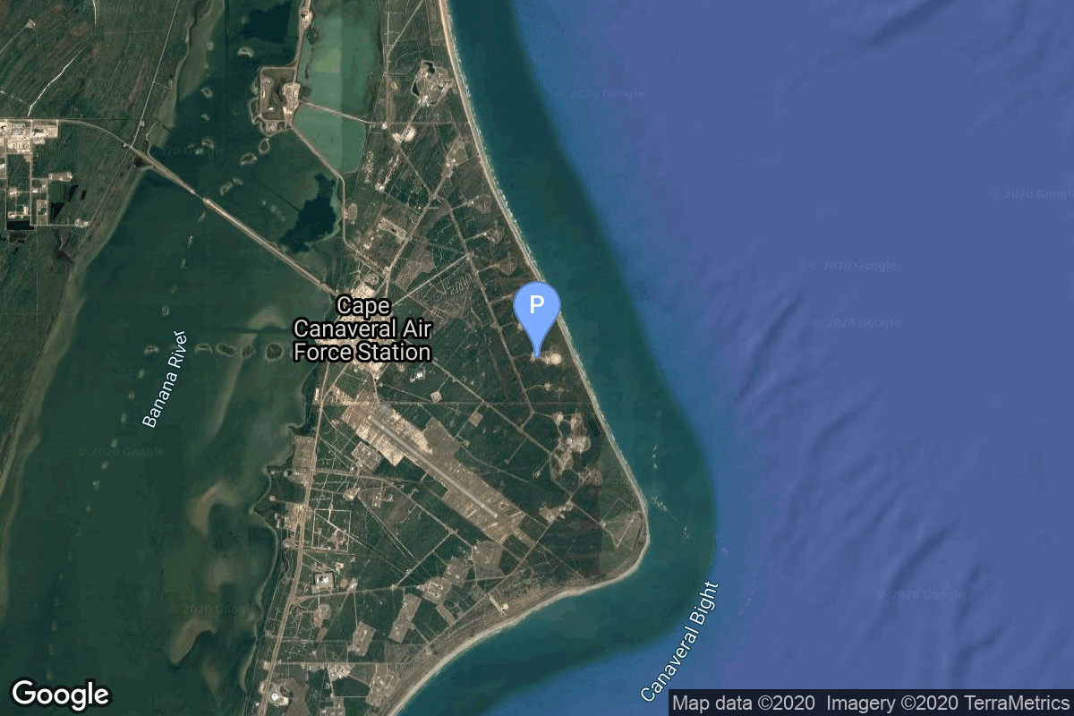
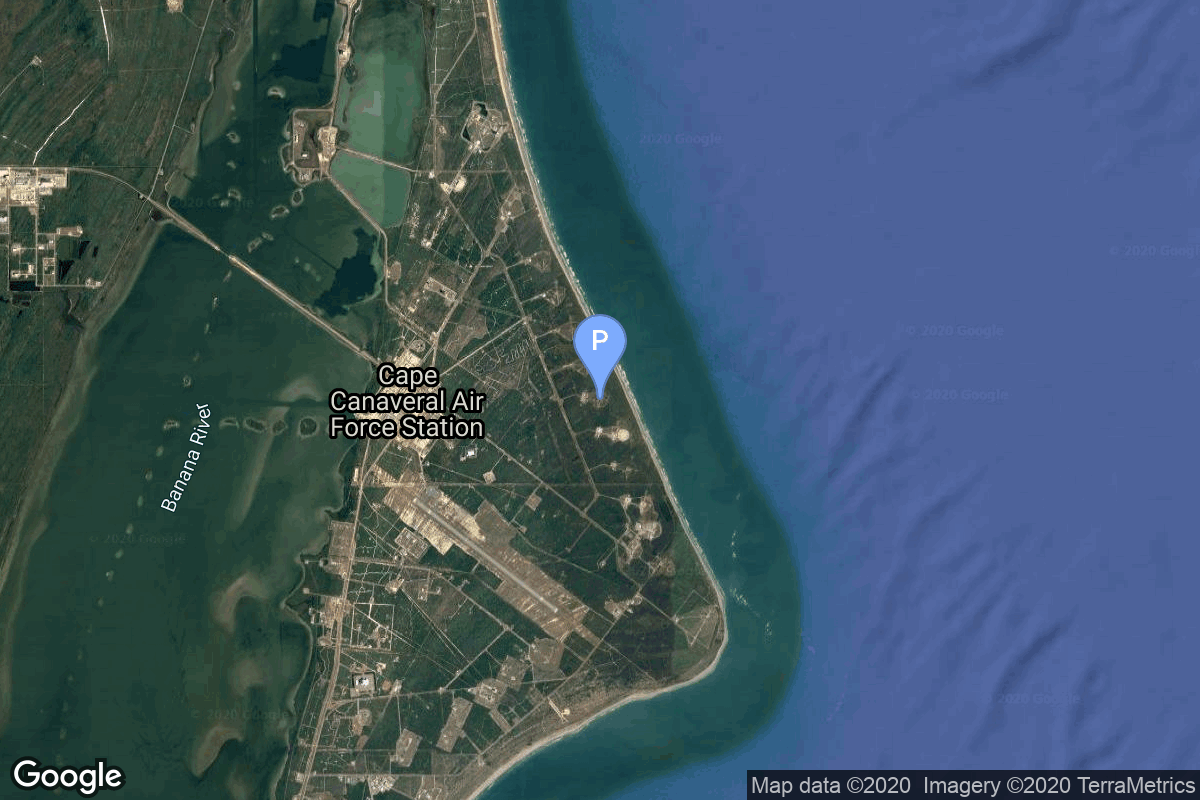
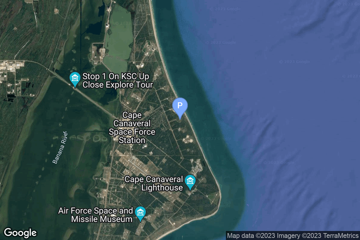
{ "count": 220, "next": "https://lldev.thespacedevs.com/2.2.0/pad/?format=api&limit=10&offset=170&ordering=name", "previous": "https://lldev.thespacedevs.com/2.2.0/pad/?format=api&limit=10&offset=150&ordering=name", "results": [ { "id": 50, "url": "https://lldev.thespacedevs.com/2.2.0/pad/50/?format=api", "agency_id": 31, "name": "Satish Dhawan Space Centre First Launch Pad", "description": "India has two launch pads at the site. The First Launch Pad, operational since 1993, is used for Polar Satellite Launch Vehicle, Small Satellite Launch Vehicle and formerly used by Geosynchronous Satellite Launch Vehicle.", "info_url": null, "wiki_url": "https://en.wikipedia.org/wiki/Satish_Dhawan_Space_Centre_First_Launch_Pad", "map_url": "https://www.google.com/maps?q=13.733,80.235", "latitude": "13.733", "longitude": "80.235", "location": { "id": 14, "url": "https://lldev.thespacedevs.com/2.2.0/location/14/?format=api", "name": "Satish Dhawan Space Centre, India", "country_code": "IND", "description": "Satish Dhawan Space Centre – SDSC (formerly Sriharikota Range – SHAR),[1] is the primary spaceport of the Indian Space Research Organisation (ISRO), located in Sriharikota, Andhra Pradesh.", "map_image": "https://thespacedevs-prod.nyc3.digitaloceanspaces.com/media/map_images/location_14_20200803142403.jpg", "timezone_name": "Asia/Kolkata", "total_launch_count": 99, "total_landing_count": 0 }, "country_code": "IND", "map_image": "https://thespacedevs-prod.nyc3.digitaloceanspaces.com/media/map_images/pad_50_20200803143457.jpg", "total_launch_count": 62, "orbital_launch_attempt_count": 61 }, { "id": 82, "url": "https://lldev.thespacedevs.com/2.2.0/pad/82/?format=api", "agency_id": 31, "name": "Satish Dhawan Space Centre Second Launch Pad", "description": "The second launch pad was built between 1999 and 2003. It became functional in 2005 and has since been used for various rockets. This launch pad supports missions by PSLV, GSLV, LVM3 rockets and is even envisioned for India's future crewed spaceflight.", "info_url": null, "wiki_url": "https://en.wikipedia.org/wiki/Satish_Dhawan_Space_Centre_Second_Launch_Pad", "map_url": "https://www.google.com/maps?q=13.7199,80.2304", "latitude": "13.7199", "longitude": "80.2304", "location": { "id": 14, "url": "https://lldev.thespacedevs.com/2.2.0/location/14/?format=api", "name": "Satish Dhawan Space Centre, India", "country_code": "IND", "description": "Satish Dhawan Space Centre – SDSC (formerly Sriharikota Range – SHAR),[1] is the primary spaceport of the Indian Space Research Organisation (ISRO), located in Sriharikota, Andhra Pradesh.", "map_image": "https://thespacedevs-prod.nyc3.digitaloceanspaces.com/media/map_images/location_14_20200803142403.jpg", "timezone_name": "Asia/Kolkata", "total_launch_count": 99, "total_landing_count": 0 }, "country_code": "IND", "map_image": "https://thespacedevs-prod.nyc3.digitaloceanspaces.com/media/map_images/pad_82_20200803143602.jpg", "total_launch_count": 29, "orbital_launch_attempt_count": 28 }, { "id": 75, "url": "https://lldev.thespacedevs.com/2.2.0/pad/75/?format=api", "agency_id": 95, "name": "Shavit Launch Pad", "description": "", "info_url": null, "wiki_url": "https://en.wikipedia.org/wiki/Palmachim_Airbase", "map_url": "https://www.google.com/maps?q=31.884444,34.680278", "latitude": "31.884444", "longitude": "34.680278", "location": { "id": 4, "url": "https://lldev.thespacedevs.com/2.2.0/location/4/?format=api", "name": "Palmachim Airbase, State of Israel", "country_code": "ISR", "description": "Palmachim Airbase is an Israeli Air Force (IAF) base and spaceport, which the IAF and the Israel Space Agency (ISA) operate jointly. It is located west of the city of Yavne on the Mediterranean coast, 12 km south of the Gush Dan metropolitan area with Tel Aviv, named after the Kibbutz Palmachim north of it.", "map_image": "https://thespacedevs-prod.nyc3.digitaloceanspaces.com/media/map_images/location_4_20200803142418.jpg", "timezone_name": "Asia/Jerusalem", "total_launch_count": 12, "total_landing_count": 0 }, "country_code": "ISR", "map_image": "https://thespacedevs-prod.nyc3.digitaloceanspaces.com/media/map_images/pad_75_20200803143316.jpg", "total_launch_count": 12, "orbital_launch_attempt_count": 12 }, { "id": 40, "url": "https://lldev.thespacedevs.com/2.2.0/pad/40/?format=api", "agency_id": 31, "name": "SLV-3 Launch Pad", "description": "The SLV3 Launch Pad, began operation in 1979 and was decommissioned in 1994. It was used by two launch vehicles of the ISRO: the Satellite Launch Vehicle (SLV) and the Augmented Satellite Launch Vehicle (ASLV) Initially it was built for launching SLV-3s but was later also used as an ASLV launch complex.", "info_url": null, "wiki_url": "https://en.wikipedia.org/wiki/Satish_Dhawan_Space_Centre_SLV_Launch_Pad", "map_url": "https://www.google.com/maps?q=13.666193,80.227231", "latitude": "13.666193", "longitude": "80.227231", "location": { "id": 14, "url": "https://lldev.thespacedevs.com/2.2.0/location/14/?format=api", "name": "Satish Dhawan Space Centre, India", "country_code": "IND", "description": "Satish Dhawan Space Centre – SDSC (formerly Sriharikota Range – SHAR),[1] is the primary spaceport of the Indian Space Research Organisation (ISRO), located in Sriharikota, Andhra Pradesh.", "map_image": "https://thespacedevs-prod.nyc3.digitaloceanspaces.com/media/map_images/location_14_20200803142403.jpg", "timezone_name": "Asia/Kolkata", "total_launch_count": 99, "total_landing_count": 0 }, "country_code": "IND", "map_image": "https://thespacedevs-prod.nyc3.digitaloceanspaces.com/media/map_images/pad_40_20200803143325.jpg", "total_launch_count": 8, "orbital_launch_attempt_count": 8 }, { "id": 81, "url": "https://lldev.thespacedevs.com/2.2.0/pad/81/?format=api", "agency_id": 115, "name": "Soyuz Launch Complex", "description": "The Ensemble de Lancement Soyouz (ELS) is a launch complex at the Guiana Space Centre in Kourou/Sinnamary, French Guiana. It was used by Soyuz-ST rockets: modified versions of the Soyuz-2 optimised for launch from Kourou under Soyuz at the Guiana Space Centre programme.", "info_url": null, "wiki_url": "https://en.wikipedia.org/wiki/Ensemble_de_Lancement_Soyouz", "map_url": "https://www.google.com/maps?q=5.3019,-52.8346", "latitude": "5.3019", "longitude": "-52.8346", "location": { "id": 13, "url": "https://lldev.thespacedevs.com/2.2.0/location/13/?format=api", "name": "Guiana Space Centre, French Guiana", "country_code": "GUF", "description": "The Guiana Space Centre is a European spaceport to the northwest of Kourou in French Guiana, a region of France in South America. Kourou is located at a latitude of 5°. In operation since 1968, it is a suitable location for a spaceport because of its equatorial location and open sea to the east.", "map_image": "https://thespacedevs-prod.nyc3.digitaloceanspaces.com/media/map_images/location_13_20200803142412.jpg", "timezone_name": "America/Cayenne", "total_launch_count": 325, "total_landing_count": 0 }, "country_code": "GUF", "map_image": "https://thespacedevs-prod.nyc3.digitaloceanspaces.com/media/map_images/pad_81_20200803143601.jpg", "total_launch_count": 26, "orbital_launch_attempt_count": 26 }, { "id": 61, "url": "https://lldev.thespacedevs.com/2.2.0/pad/61/?format=api", "agency_id": 161, "name": "Space Launch Complex 10E", "description": "Space Launch Complex 10, or Missile Launch Complex 10, is located on Vandenberg Space Force Base in Lompoc, California. It was built in 1958 to test ballistic missiles and developed into a space launching facility in 1963.", "info_url": null, "wiki_url": "https://en.wikipedia.org/wiki/Vandenberg_Space_Launch_Complex_10", "map_url": "https://www.google.com/maps?q=34.7626,-120.6213", "latitude": "34.7626", "longitude": "-120.6213", "location": { "id": 11, "url": "https://lldev.thespacedevs.com/2.2.0/location/11/?format=api", "name": "Vandenberg SFB, CA, USA", "country_code": "USA", "description": "Vandenberg Space Force Base is a United States Space Force Base in Santa Barbara County, California. Established in 1941, Vandenberg Space Force Base is a space launch base, launching spacecraft from the Western Range, and also performs missile testing. The United States Space Force's Space Launch Delta 30 serves as the host delta for the base, equivalent to an Air Force air base wing. In addition to its military space launch mission, Vandenberg Space Force Base also hosts space launches for civil and commercial space entities, such as NASA and SpaceX.", "map_image": "https://thespacedevs-prod.nyc3.digitaloceanspaces.com/media/map_images/location_11_20200803142416.jpg", "timezone_name": "America/Los_Angeles", "total_launch_count": 814, "total_landing_count": 26 }, "country_code": "USA", "map_image": "https://thespacedevs-prod.nyc3.digitaloceanspaces.com/media/map_images/pad_61_20200803143410.jpg", "total_launch_count": 1, "orbital_launch_attempt_count": 1 }, { "id": 171, "url": "https://lldev.thespacedevs.com/2.2.0/pad/171/?format=api", "agency_id": null, "name": "Space Launch Complex 10W", "description": "Space Launch Complex 10, or Missile Launch Complex 10, is located on Vandenberg Space Force Base in Lompoc, California. It was built in 1958 to test ballistic missiles and developed into a space launching facility in 1963.", "info_url": null, "wiki_url": "https://en.wikipedia.org/wiki/Vandenberg_Air_Force_Base_Space_Launch_Complex_10", "map_url": "https://www.google.com/maps?q=34.7652778,-120.6244162", "latitude": "34.7652778", "longitude": "-120.6244162", "location": { "id": 11, "url": "https://lldev.thespacedevs.com/2.2.0/location/11/?format=api", "name": "Vandenberg SFB, CA, USA", "country_code": "USA", "description": "Vandenberg Space Force Base is a United States Space Force Base in Santa Barbara County, California. Established in 1941, Vandenberg Space Force Base is a space launch base, launching spacecraft from the Western Range, and also performs missile testing. The United States Space Force's Space Launch Delta 30 serves as the host delta for the base, equivalent to an Air Force air base wing. In addition to its military space launch mission, Vandenberg Space Force Base also hosts space launches for civil and commercial space entities, such as NASA and SpaceX.", "map_image": "https://thespacedevs-prod.nyc3.digitaloceanspaces.com/media/map_images/location_11_20200803142416.jpg", "timezone_name": "America/Los_Angeles", "total_launch_count": 814, "total_landing_count": 26 }, "country_code": "USA", "map_image": "https://thespacedevs-prod.nyc3.digitaloceanspaces.com/media/map_images/pad_171_20200803143449.jpg", "total_launch_count": 31, "orbital_launch_attempt_count": 31 }, { "id": 117, "url": "https://lldev.thespacedevs.com/2.2.0/pad/117/?format=api", "agency_id": 161, "name": "Space Launch Complex 13", "description": null, "info_url": null, "wiki_url": "https://en.wikipedia.org/wiki/Cape_Canaveral_Launch_Complex_13", "map_url": "https://www.google.com/maps?q=28.4859,-80.546594", "latitude": "28.4859", "longitude": "-80.546594", "location": { "id": 12, "url": "https://lldev.thespacedevs.com/2.2.0/location/12/?format=api", "name": "Cape Canaveral SFS, FL, USA", "country_code": "USA", "description": "Cape Canaveral Space Force Station (CCSFS) is an installation of the United States Space Force's Space Launch Delta 45, located on Cape Canaveral in Brevard County, Florida.", "map_image": "https://thespacedevs-prod.nyc3.digitaloceanspaces.com/media/map_images/location_12_20200803142519.jpg", "timezone_name": "America/New_York", "total_launch_count": 1031, "total_landing_count": 64 }, "country_code": "USA", "map_image": "https://thespacedevs-prod.nyc3.digitaloceanspaces.com/media/map_images/pad_117_20200803143223.jpg", "total_launch_count": 21, "orbital_launch_attempt_count": 21 }, { "id": 17, "url": "https://lldev.thespacedevs.com/2.2.0/pad/17/?format=api", "agency_id": 1048, "name": "Space Launch Complex 14", "description": null, "info_url": null, "wiki_url": "https://en.wikipedia.org/wiki/Cape_Canaveral_Air_Force_Station_Launch_Complex_14", "map_url": "https://www.google.com/maps?q=28.49103,-80.54687", "latitude": "28.49103", "longitude": "-80.54687", "location": { "id": 12, "url": "https://lldev.thespacedevs.com/2.2.0/location/12/?format=api", "name": "Cape Canaveral SFS, FL, USA", "country_code": "USA", "description": "Cape Canaveral Space Force Station (CCSFS) is an installation of the United States Space Force's Space Launch Delta 45, located on Cape Canaveral in Brevard County, Florida.", "map_image": "https://thespacedevs-prod.nyc3.digitaloceanspaces.com/media/map_images/location_12_20200803142519.jpg", "timezone_name": "America/New_York", "total_launch_count": 1031, "total_landing_count": 64 }, "country_code": "USA", "map_image": "https://thespacedevs-prod.nyc3.digitaloceanspaces.com/media/map_images/pad_17_20200803143405.jpg", "total_launch_count": 20, "orbital_launch_attempt_count": 16 }, { "id": 206, "url": "https://lldev.thespacedevs.com/2.2.0/pad/206/?format=api", "agency_id": 1030, "name": "Space Launch Complex 15", "description": null, "info_url": null, "wiki_url": "https://en.wikipedia.org/wiki/Cape_Canaveral_Launch_Complex_15", "map_url": "https://www.google.com/maps?q=28.4963,-80.5493", "latitude": "28.4963", "longitude": "-80.5493", "location": { "id": 12, "url": "https://lldev.thespacedevs.com/2.2.0/location/12/?format=api", "name": "Cape Canaveral SFS, FL, USA", "country_code": "USA", "description": "Cape Canaveral Space Force Station (CCSFS) is an installation of the United States Space Force's Space Launch Delta 45, located on Cape Canaveral in Brevard County, Florida.", "map_image": "https://thespacedevs-prod.nyc3.digitaloceanspaces.com/media/map_images/location_12_20200803142519.jpg", "timezone_name": "America/New_York", "total_launch_count": 1031, "total_landing_count": 64 }, "country_code": "USA", "map_image": "https://thespacedevs-prod.nyc3.digitaloceanspaces.com/media/map_images/pad_space_launch_complex_15_20230308080759.jpg", "total_launch_count": 0, "orbital_launch_attempt_count": 0 } ] }