Pad List
API endpoint that allows Location instances to be viewed.
GET: Return a list of all the existing location instances.
FILTERS: Parameters - 'id', 'agency_id', 'name', 'name__contains', 'latitude', 'latitude__contains', 'longitude', 'longitude__contains', 'location__name', 'location__name__contains', 'location__id', 'orbital_launch_attempt_count', 'total_launch_count'
ORDERING: Fields - 'id', 'name', 'location__id', 'location__name', 'orbital_launch_attempt_count', 'total_launch_count'
Example - /2.2.0/pad/?ordering=location__name
GET /2.2.0/pad/?format=api&offset=150&ordering=name
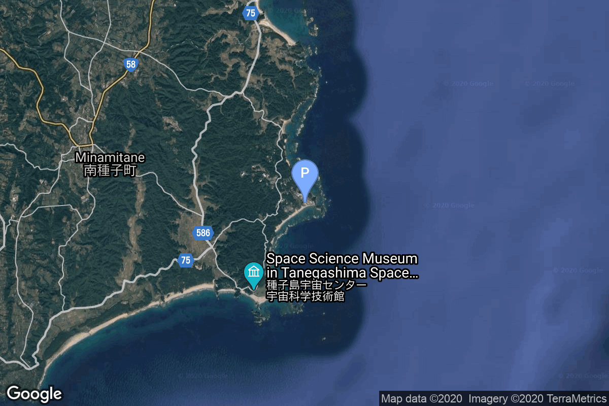
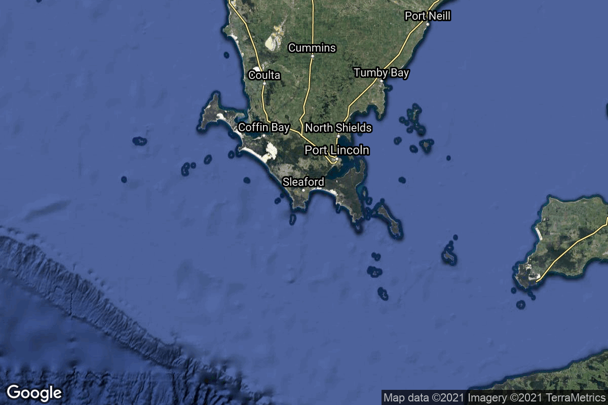
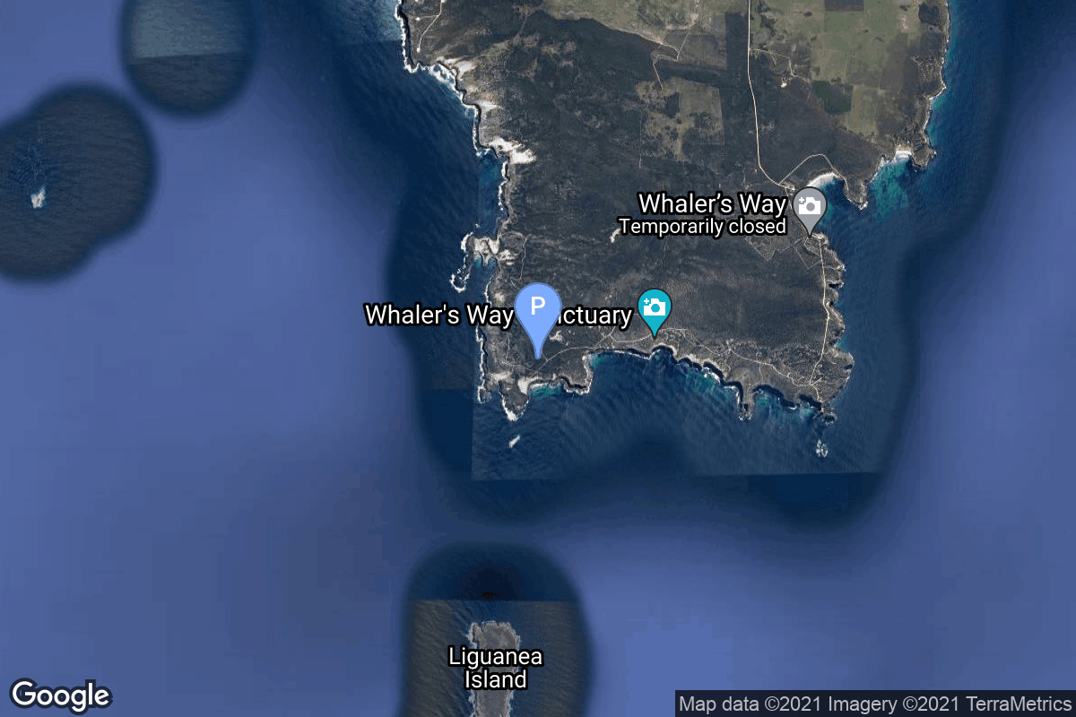
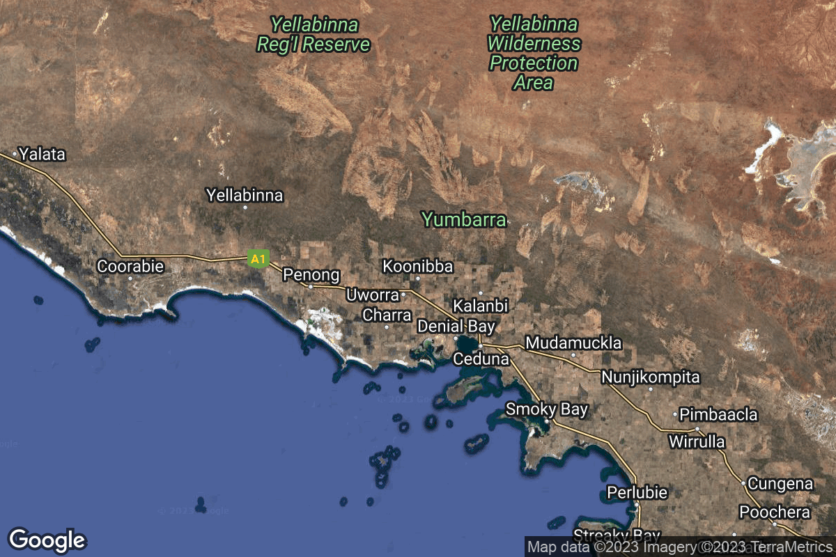
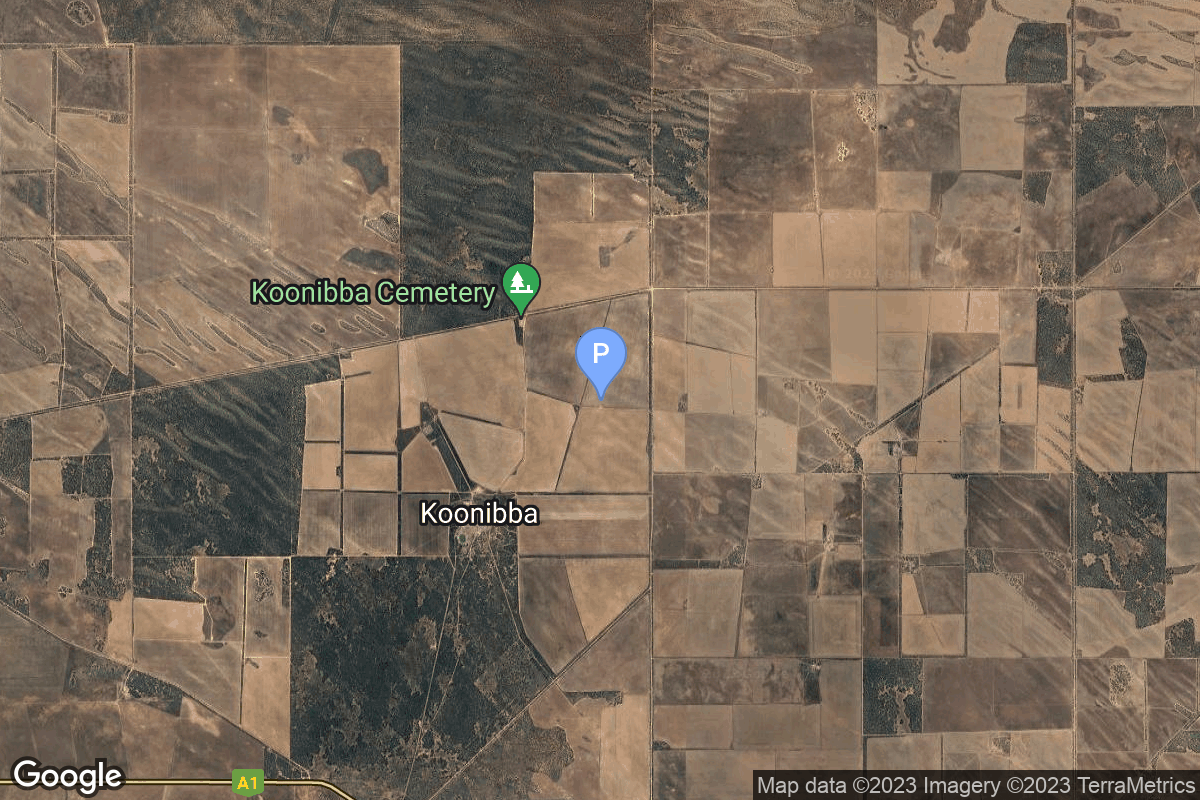
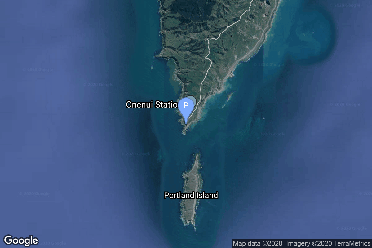
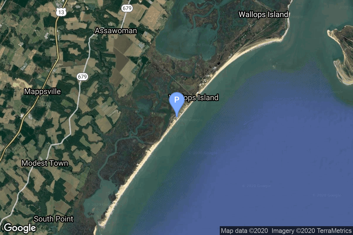
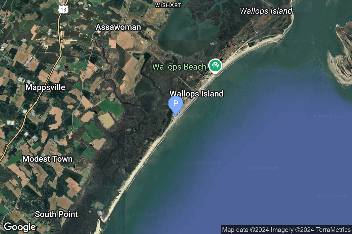
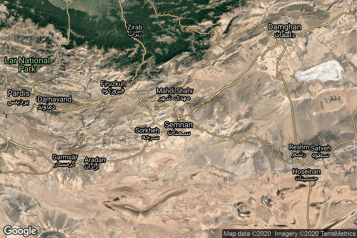
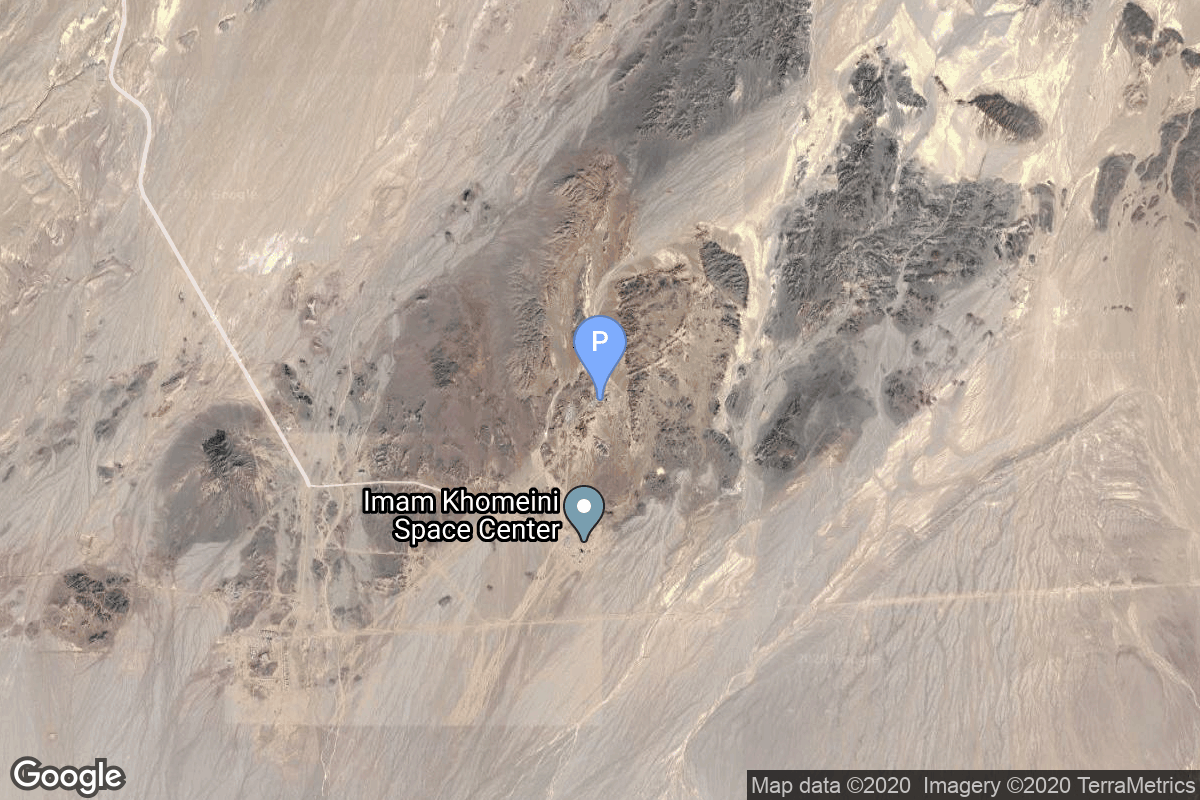
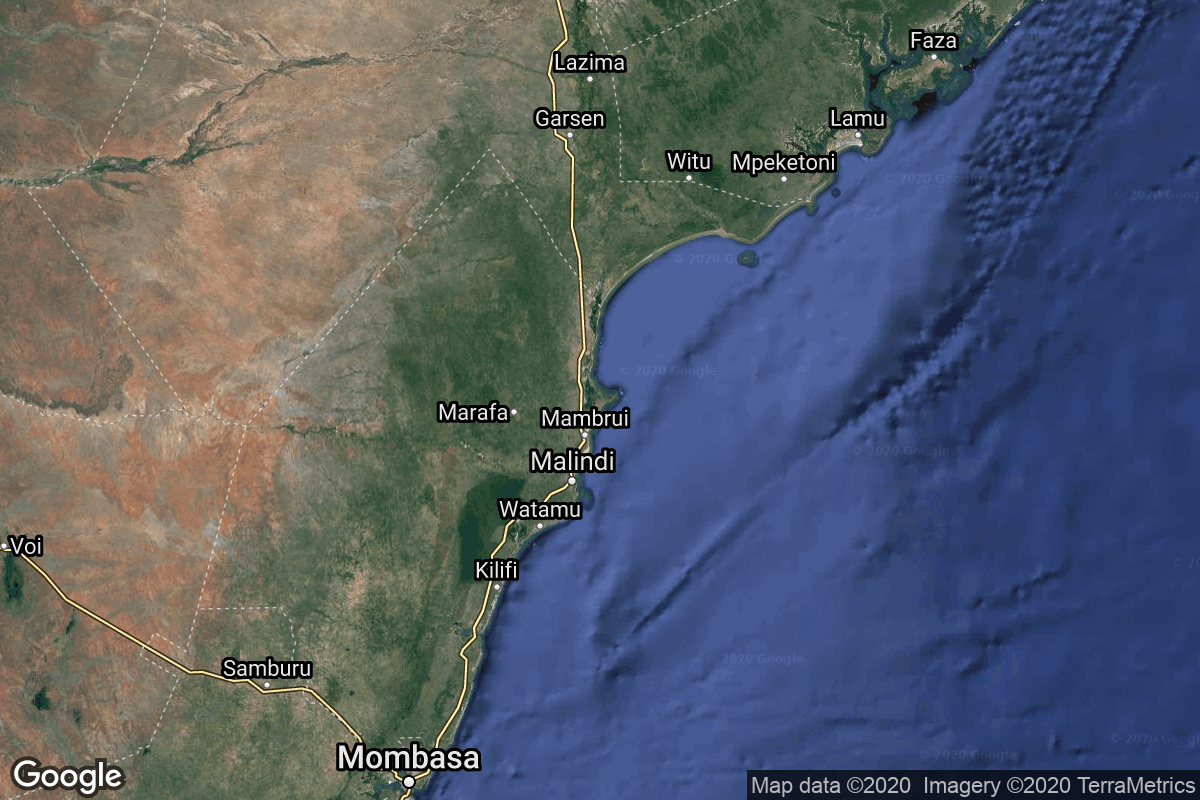
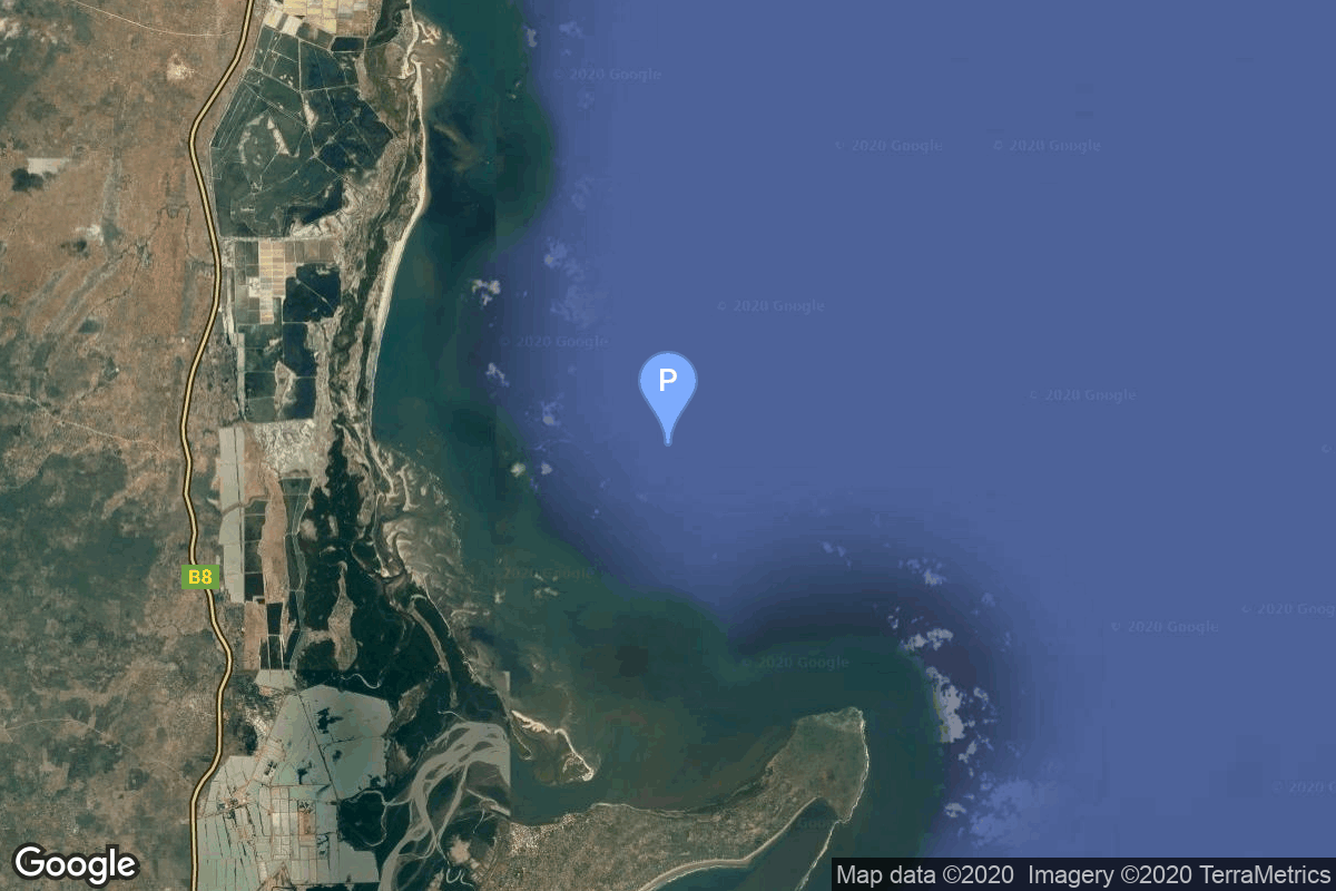
{ "count": 220, "next": "https://lldev.thespacedevs.com/2.2.0/pad/?format=api&limit=10&offset=160&ordering=name", "previous": "https://lldev.thespacedevs.com/2.2.0/pad/?format=api&limit=10&offset=140&ordering=name", "results": [ { "id": 10, "url": "https://lldev.thespacedevs.com/2.2.0/pad/10/?format=api", "agency_id": 37, "name": "Osaki Launch Complex", "description": null, "info_url": null, "wiki_url": "https://en.wikipedia.org/wiki/Tanegashima_Space_Center", "map_url": "https://www.google.com/maps?q=30.3993934,130.9702486", "latitude": "30.3993934", "longitude": "130.9702486", "location": { "id": 26, "url": "https://lldev.thespacedevs.com/2.2.0/location/26/?format=api", "name": "Tanegashima Space Center, Japan", "country_code": "JPN", "description": "The Tanegashima Space Center is the largest rocket-launch complex in Japan. It is located on the southeastern tip of Tanegashima, an island located south of Kyushu, an island and region and Japan. It was established in 1969 when the National Space Development Agency of Japan (NASDA) was formed, and is now run by JAXA. The activities that take place at TNSC include assembly, testing, launching, and tracking satellites, as well as rocket engine firing tests.", "map_image": "https://thespacedevs-prod.nyc3.digitaloceanspaces.com/media/map_images/location_26_20200803142507.jpg", "timezone_name": "Asia/Tokyo", "total_launch_count": 94, "total_landing_count": 0 }, "country_code": "JPN", "map_image": "https://thespacedevs-prod.nyc3.digitaloceanspaces.com/media/map_images/pad_10_20200803143519.jpg", "total_launch_count": 24, "orbital_launch_attempt_count": 24 }, { "id": 197, "url": "https://lldev.thespacedevs.com/2.2.0/pad/197/?format=api", "agency_id": 1028, "name": "Pad 1", "description": null, "info_url": "https://www.southernlaunch.space/whalers-way-orbital-launch-complex", "wiki_url": "https://en.wikipedia.org/wiki/Whalers_Way_Orbital_Launch_Complex", "map_url": "https://www.google.com/maps?q=-34.937822,135.630035", "latitude": "-34.937822", "longitude": "135.630035", "location": { "id": 156, "url": "https://lldev.thespacedevs.com/2.2.0/location/156/?format=api", "name": "Whalers Way Orbital Launch Complex, South Australia", "country_code": "AUS", "description": "Whalers Way Orbital Launch Complex is a rocket-launching facility operated by Southern Launch at Whalers Way, in the locality of Sleaford near Port Lincoln on South Australia's Eyre Peninsula.", "map_image": "https://thespacedevs-prod.nyc3.digitaloceanspaces.com/media/map_images/location_whalers_way_orbital_launch_complex_20210910042508.jpg", "timezone_name": "Australia/Adelaide", "total_launch_count": 1, "total_landing_count": 0 }, "country_code": "AUS", "map_image": "https://thespacedevs-prod.nyc3.digitaloceanspaces.com/media/map_images/pad_whalers_way_orbital_launch_complex_20210910042853.jpg", "total_launch_count": 1, "orbital_launch_attempt_count": 0 }, { "id": 215, "url": "https://lldev.thespacedevs.com/2.2.0/pad/215/?format=api", "agency_id": 1028, "name": "Pad 1", "description": "", "info_url": "https://www.southernlaunch.space/koonibba-test-range", "wiki_url": "https://en.wikipedia.org/wiki/Koonibba_Test_Range", "map_url": "https://www.google.com/maps?q=-31.885558,133.448686", "latitude": "-31.885558", "longitude": "133.448686", "location": { "id": 164, "url": "https://lldev.thespacedevs.com/2.2.0/location/164/?format=api", "name": "Koonibba Test Range, South Australia", "country_code": "AUS", "description": "The Koonibba Test Range is a rocket test range site near the township of Koonibba in the far west of South Australia. Rockets are launched to the north over a clear area – the Yumbarra Conservation Park and Yellabinna Wilderness Protection Area – for 145 kilometres (90 mi).", "map_image": "https://thespacedevs-prod.nyc3.digitaloceanspaces.com/media/map_images/location_koonibba_test_range252c_south_australia_20231114184328.jpg", "timezone_name": "Australia/Adelaide", "total_launch_count": 1, "total_landing_count": 0 }, "country_code": "AUS", "map_image": "https://thespacedevs-prod.nyc3.digitaloceanspaces.com/media/map_images/pad_pad_1_20231114184452.jpg", "total_launch_count": 1, "orbital_launch_attempt_count": 0 }, { "id": 65, "url": "https://lldev.thespacedevs.com/2.2.0/pad/65/?format=api", "agency_id": 147, "name": "Rocket Lab Launch Complex 1A", "description": "", "info_url": null, "wiki_url": "https://en.wikipedia.org/wiki/Rocket_Lab_Launch_Complex_1", "map_url": "https://www.google.com/maps?q=-39.262833,177.864469", "latitude": "-39.262833", "longitude": "177.864469", "location": { "id": 10, "url": "https://lldev.thespacedevs.com/2.2.0/location/10/?format=api", "name": "Rocket Lab Launch Complex 1, Mahia Peninsula, New Zealand", "country_code": "NZL", "description": "Rocket Lab Launch Complex 1 is a commercial spaceport located close to Ahuriri Point at the southern tip of Māhia Peninsula, on the east coast of New Zealand's North Island. It is owned and operated by private spaceflight company Rocket Lab and supports launches of the company's Electron rocket for small satellites. With the launch of Electron on 25 May 2017, it became the first private spaceport to host an orbital launch attempt, and the first site in New Zealand to host an orbital launch attempt. With the Electron launch of 21 January 2018, it became the first private spaceport to host a successful orbital launch.", "map_image": "https://thespacedevs-prod.nyc3.digitaloceanspaces.com/media/map_images/location_10_20200803142509.jpg", "timezone_name": "Pacific/Auckland", "total_launch_count": 60, "total_landing_count": 17 }, "country_code": "NZL", "map_image": "https://thespacedevs-prod.nyc3.digitaloceanspaces.com/media/map_images/pad_65_20200803143549.jpg", "total_launch_count": 31, "orbital_launch_attempt_count": 31 }, { "id": 185, "url": "https://lldev.thespacedevs.com/2.2.0/pad/185/?format=api", "agency_id": 147, "name": "Rocket Lab Launch Complex 1B", "description": "", "info_url": null, "wiki_url": "https://en.wikipedia.org/wiki/Rocket_Lab_Launch_Complex_1", "map_url": "https://www.google.com/maps?q=-39.262833,177.864469", "latitude": "-39.262833", "longitude": "177.864469", "location": { "id": 10, "url": "https://lldev.thespacedevs.com/2.2.0/location/10/?format=api", "name": "Rocket Lab Launch Complex 1, Mahia Peninsula, New Zealand", "country_code": "NZL", "description": "Rocket Lab Launch Complex 1 is a commercial spaceport located close to Ahuriri Point at the southern tip of Māhia Peninsula, on the east coast of New Zealand's North Island. It is owned and operated by private spaceflight company Rocket Lab and supports launches of the company's Electron rocket for small satellites. With the launch of Electron on 25 May 2017, it became the first private spaceport to host an orbital launch attempt, and the first site in New Zealand to host an orbital launch attempt. With the Electron launch of 21 January 2018, it became the first private spaceport to host a successful orbital launch.", "map_image": "https://thespacedevs-prod.nyc3.digitaloceanspaces.com/media/map_images/location_10_20200803142509.jpg", "timezone_name": "Pacific/Auckland", "total_launch_count": 60, "total_landing_count": 17 }, "country_code": "NZL", "map_image": "https://thespacedevs-prod.nyc3.digitaloceanspaces.com/media/map_images/pad_185_20200803143540.jpg", "total_launch_count": 29, "orbital_launch_attempt_count": 29 }, { "id": 79, "url": "https://lldev.thespacedevs.com/2.2.0/pad/79/?format=api", "agency_id": 147, "name": "Rocket Lab Launch Complex 2 (Launch Area 0 C)", "description": "", "info_url": null, "wiki_url": null, "map_url": "https://www.google.com/maps?q=37.833262,-75.488235", "latitude": "37.833262", "longitude": "-75.488235", "location": { "id": 21, "url": "https://lldev.thespacedevs.com/2.2.0/location/21/?format=api", "name": "Wallops Flight Facility, Virginia, USA", "country_code": "USA", "description": "Wallops Flight Facility is a rocket launch site on Wallops Island on the Eastern Shore of Virginia, United States, just east of the Delmarva Peninsula and north-northeast of Norfolk. The facility is operated by the Goddard Space Flight Center in Greenbelt, Maryland, and primarily serves to support science and exploration missions for NASA and other federal agencies. WFF includes an extensively instrumented range to support launches of more than a dozen types of sounding rockets; small expendable suborbital and orbital rockets; high-altitude balloon flights carrying scientific instruments for atmospheric and astronomical research; and, using its Research Airport, flight tests of aeronautical research aircraft, including uncrewed aerial vehicles.", "map_image": "https://thespacedevs-prod.nyc3.digitaloceanspaces.com/media/map_images/location_21_20200803142423.jpg", "timezone_name": "America/New_York", "total_launch_count": 80, "total_landing_count": 0 }, "country_code": "USA", "map_image": "https://thespacedevs-prod.nyc3.digitaloceanspaces.com/media/map_images/pad_79_20200803143607.jpg", "total_launch_count": 6, "orbital_launch_attempt_count": 3 }, { "id": 234, "url": "https://lldev.thespacedevs.com/2.2.0/pad/234/?format=api", "agency_id": 147, "name": "Rocket Lab Launch Complex 3 (Launch Area 0 D)", "description": "", "info_url": null, "wiki_url": null, "map_url": "https://www.google.com/maps?q=37.8321693,-75.4899046", "latitude": "37.8321693", "longitude": "-75.4899046", "location": { "id": 21, "url": "https://lldev.thespacedevs.com/2.2.0/location/21/?format=api", "name": "Wallops Flight Facility, Virginia, USA", "country_code": "USA", "description": "Wallops Flight Facility is a rocket launch site on Wallops Island on the Eastern Shore of Virginia, United States, just east of the Delmarva Peninsula and north-northeast of Norfolk. The facility is operated by the Goddard Space Flight Center in Greenbelt, Maryland, and primarily serves to support science and exploration missions for NASA and other federal agencies. WFF includes an extensively instrumented range to support launches of more than a dozen types of sounding rockets; small expendable suborbital and orbital rockets; high-altitude balloon flights carrying scientific instruments for atmospheric and astronomical research; and, using its Research Airport, flight tests of aeronautical research aircraft, including uncrewed aerial vehicles.", "map_image": "https://thespacedevs-prod.nyc3.digitaloceanspaces.com/media/map_images/location_21_20200803142423.jpg", "timezone_name": "America/New_York", "total_launch_count": 80, "total_landing_count": 0 }, "country_code": "USA", "map_image": "https://thespacedevs-prod.nyc3.digitaloceanspaces.com/media/map_images/pad_rocket_lab_launch_complex_3_2528launch_area_0_d2529_20241115175136.jpg", "total_launch_count": 0, "orbital_launch_attempt_count": 0 }, { "id": 58, "url": "https://lldev.thespacedevs.com/2.2.0/pad/58/?format=api", "agency_id": null, "name": "Safir Launch Pad", "description": null, "info_url": null, "wiki_url": "https://en.wikipedia.org/wiki/Semnan_Space_Center#Circular_launch_platform", "map_url": "https://www.google.com/maps?q=35.23462,53.920936", "latitude": "35.23462", "longitude": "53.920936", "location": { "id": 2, "url": "https://lldev.thespacedevs.com/2.2.0/location/2/?format=api", "name": "Semnan Space Center, Islamic Republic of Iran", "country_code": "IRN", "description": "Semnan Space Center is the primary Iranian spaceport, located 50 km southeast of the city of Semnan in the north of the country.", "map_image": "https://thespacedevs-prod.nyc3.digitaloceanspaces.com/media/map_images/location_2_20200803142458.jpg", "timezone_name": "Asia/Tehran", "total_launch_count": 15, "total_landing_count": 0 }, "country_code": "IRN", "map_image": "https://thespacedevs-prod.nyc3.digitaloceanspaces.com/media/map_images/pad_58_20200803143301.jpg", "total_launch_count": 8, "orbital_launch_attempt_count": 8 }, { "id": 155, "url": "https://lldev.thespacedevs.com/2.2.0/pad/155/?format=api", "agency_id": null, "name": "San Marco platform", "description": null, "info_url": null, "wiki_url": "https://en.wikipedia.org/wiki/Broglio_Space_Center", "map_url": "https://www.google.com/maps?q=-2.9383333,40.210306", "latitude": "-2.9383333", "longitude": "40.210306", "location": { "id": 151, "url": "https://lldev.thespacedevs.com/2.2.0/location/151/?format=api", "name": "Broglio Space Center, Kenya", "country_code": "ITA", "description": "The Luigi Broglio Space Center (BSC) located near Malindi, Kenya, is an Italian Space Agency (ASI) Spaceport. It served as a spaceport for the launch of both Italian and international satellites, but is currently only used for satellite communications.", "map_image": "https://thespacedevs-prod.nyc3.digitaloceanspaces.com/media/map_images/location_151_20200803142409.jpg", "timezone_name": "Africa/Nairobi", "total_launch_count": 9, "total_landing_count": 0 }, "country_code": "ITA", "map_image": "https://thespacedevs-prod.nyc3.digitaloceanspaces.com/media/map_images/pad_155_20200803143349.jpg", "total_launch_count": 9, "orbital_launch_attempt_count": 9 }, { "id": 184, "url": "https://lldev.thespacedevs.com/2.2.0/pad/184/?format=api", "agency_id": null, "name": "Satellite Launch Pad", "description": null, "info_url": null, "wiki_url": "https://en.wikipedia.org/wiki/Tonghae_Satellite_Launching_Ground", "map_url": "https://www.google.com/maps?q=40.855799,129.665895", "latitude": "40.855799", "longitude": "129.665895", "location": { "id": 153, "url": "https://lldev.thespacedevs.com/2.2.0/location/153/?format=api", "name": "Tonghae Satellite Launching Ground", "country_code": "PRK", "description": "The Tonghae Satellite Launching Ground is a rocket launching site in North Korea.", "map_image": "https://thespacedevs-prod.nyc3.digitaloceanspaces.com/media/map_images/location_153_20200803142503.jpg", "timezone_name": "Asia/Pyongyang", "total_launch_count": 2, "total_landing_count": 0 }, "country_code": "PRK", "map_image": "https://thespacedevs-prod.nyc3.digitaloceanspaces.com/media/map_images/pad_184_20200803143423.jpg", "total_launch_count": 2, "orbital_launch_attempt_count": 2 } ] }