Pad List
API endpoint that allows Location instances to be viewed.
GET: Return a list of all the existing location instances.
FILTERS: Parameters - 'id', 'agency_id', 'name', 'name__contains', 'latitude', 'latitude__contains', 'longitude', 'longitude__contains', 'location__name', 'location__name__contains', 'location__id', 'orbital_launch_attempt_count', 'total_launch_count'
ORDERING: Fields - 'id', 'name', 'location__id', 'location__name', 'orbital_launch_attempt_count', 'total_launch_count'
Example - /2.2.0/pad/?ordering=location__name
GET /2.2.0/pad/?format=api&offset=150&ordering=location__name
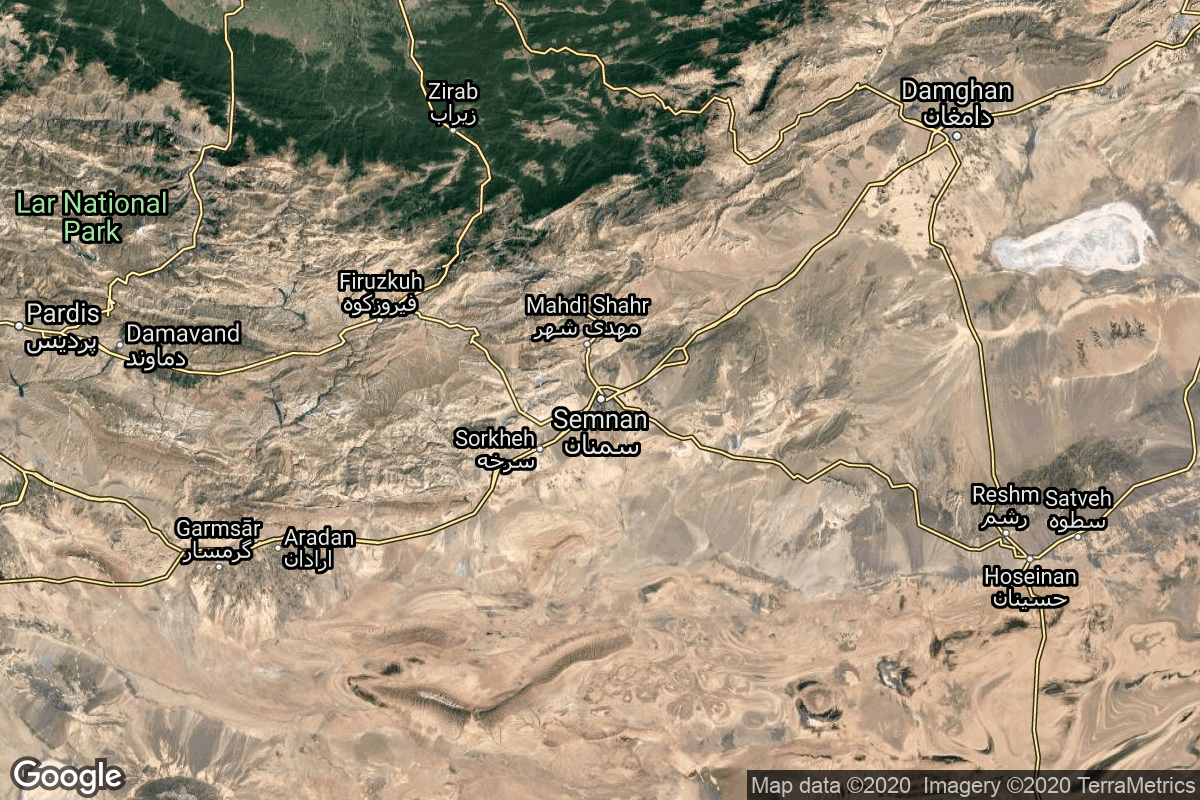
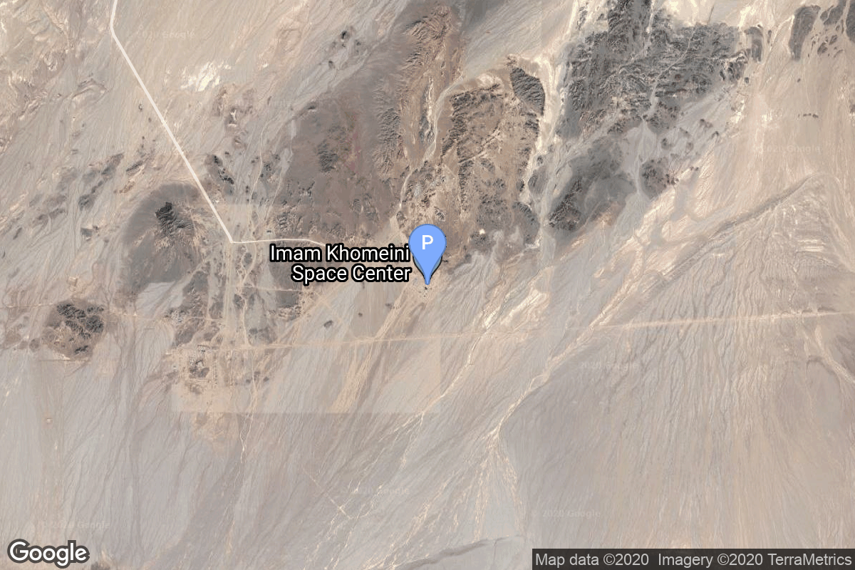
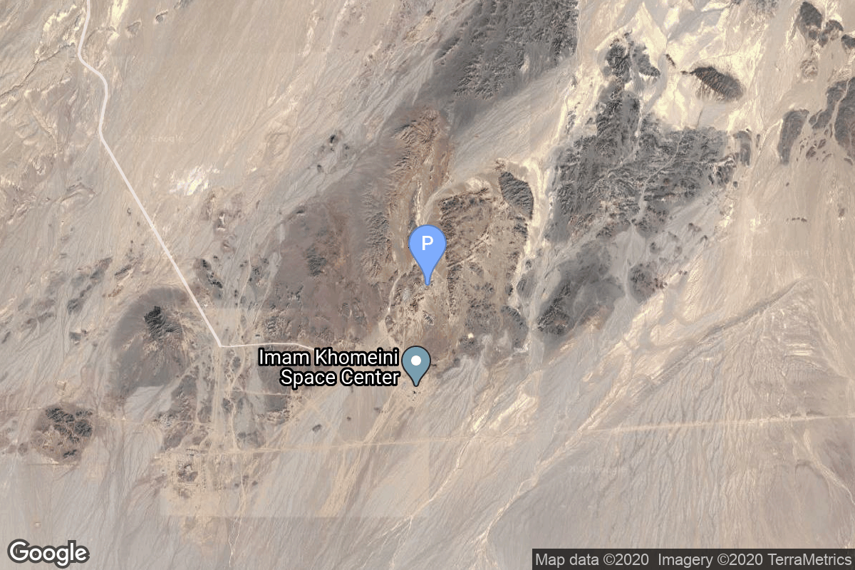
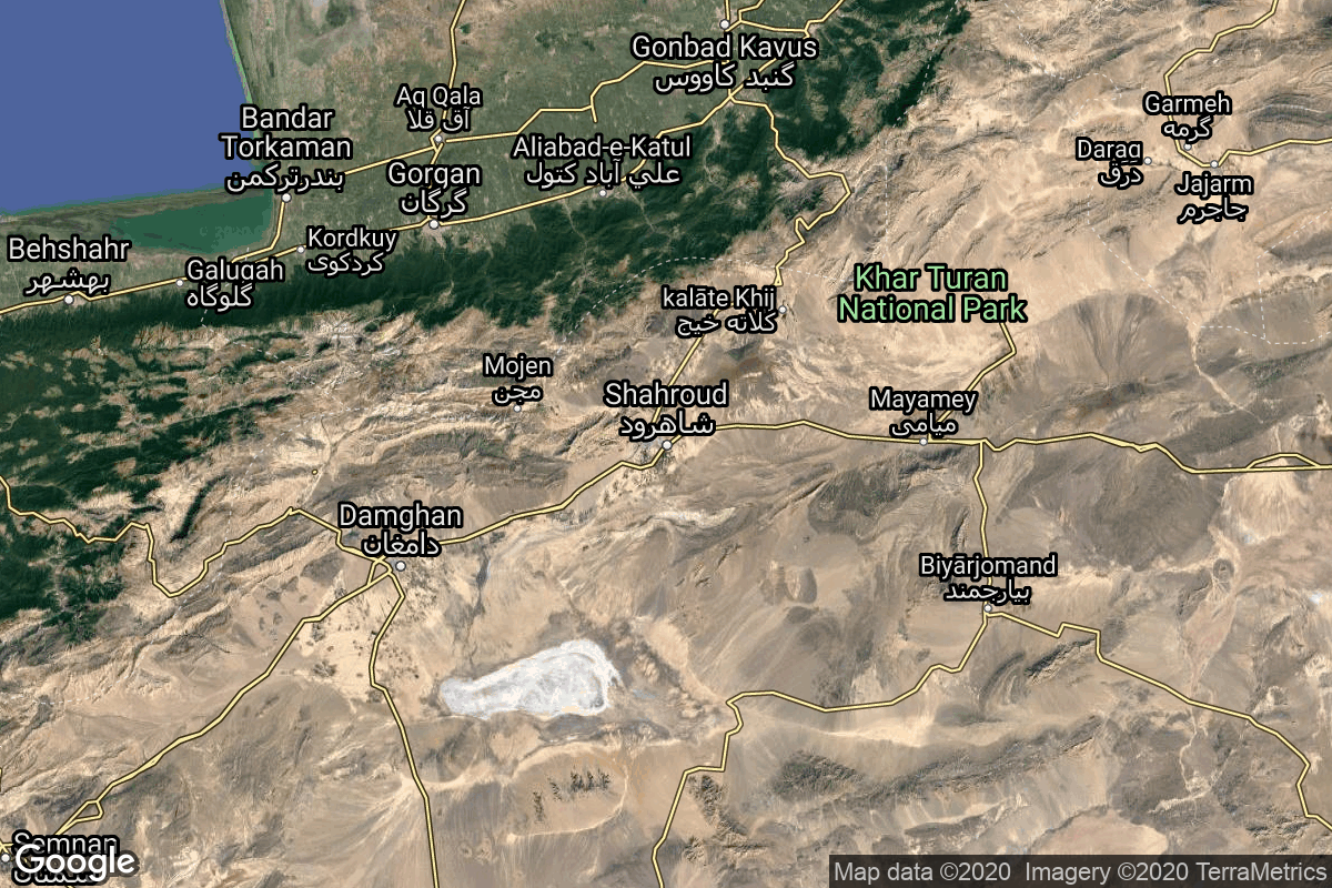
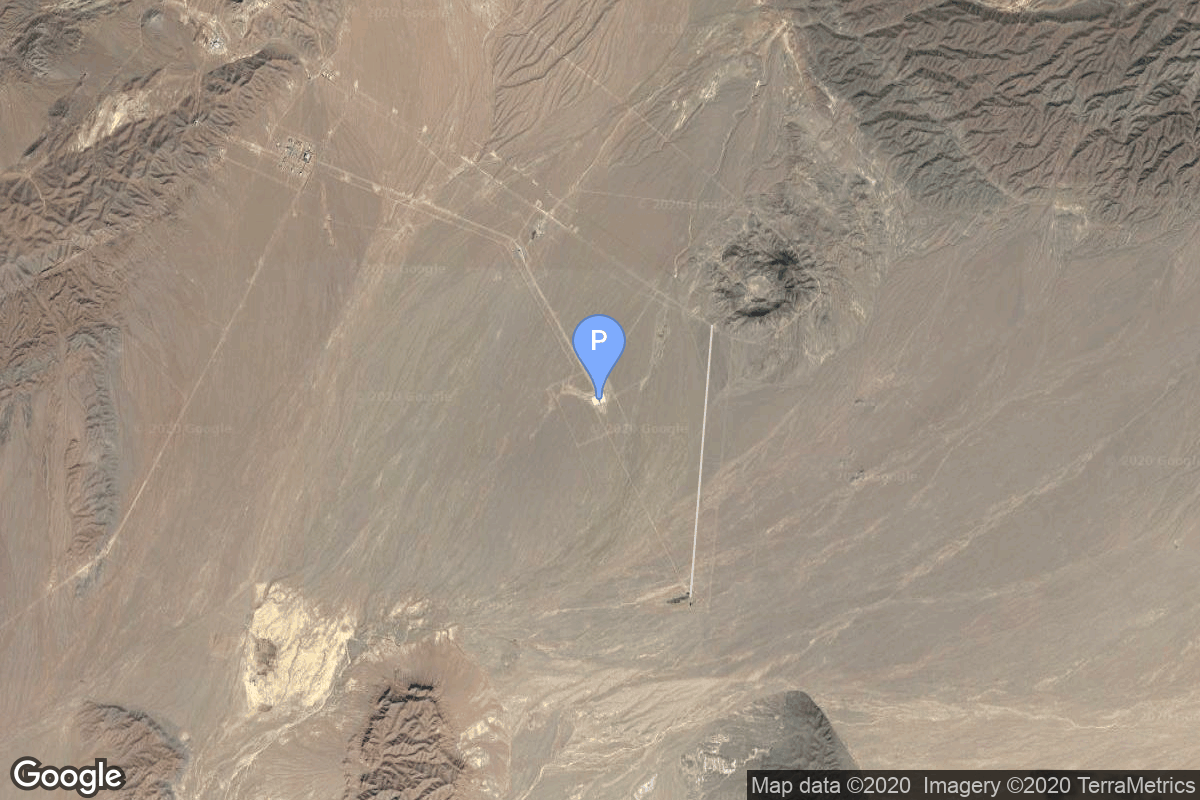
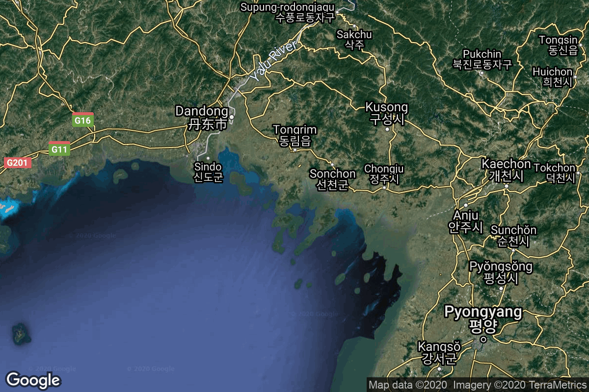
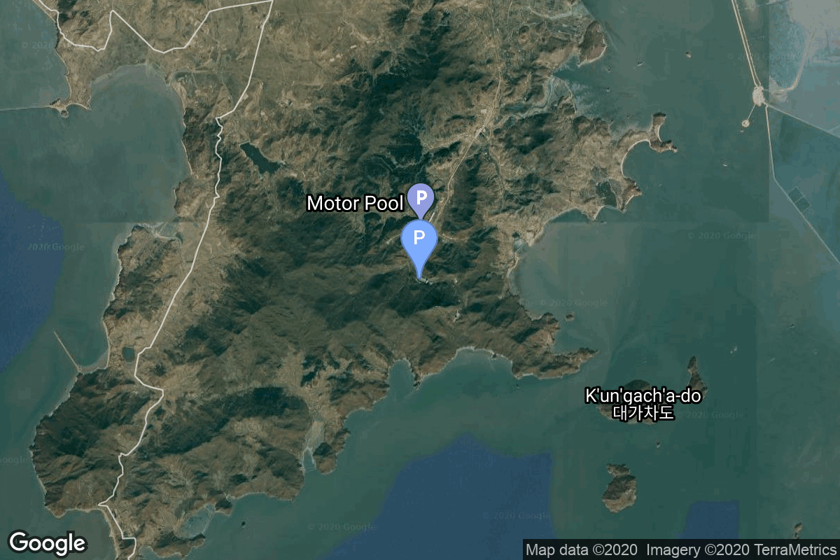
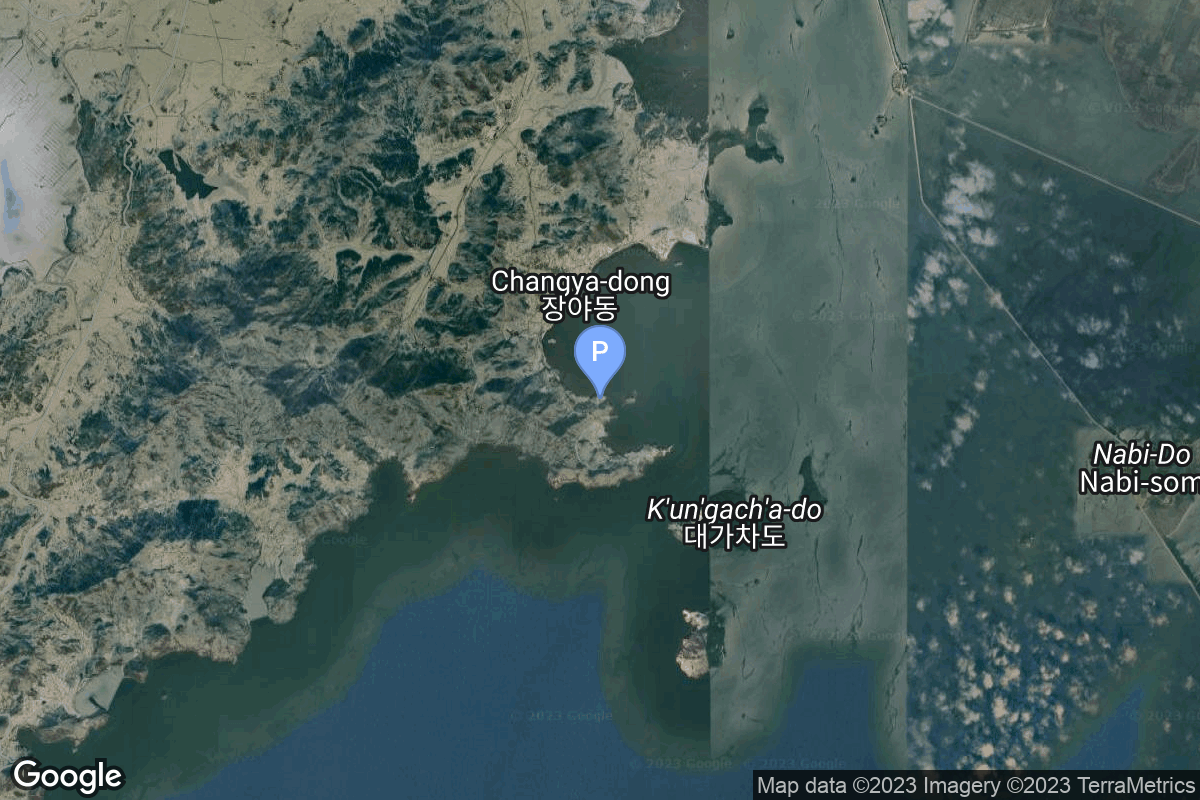
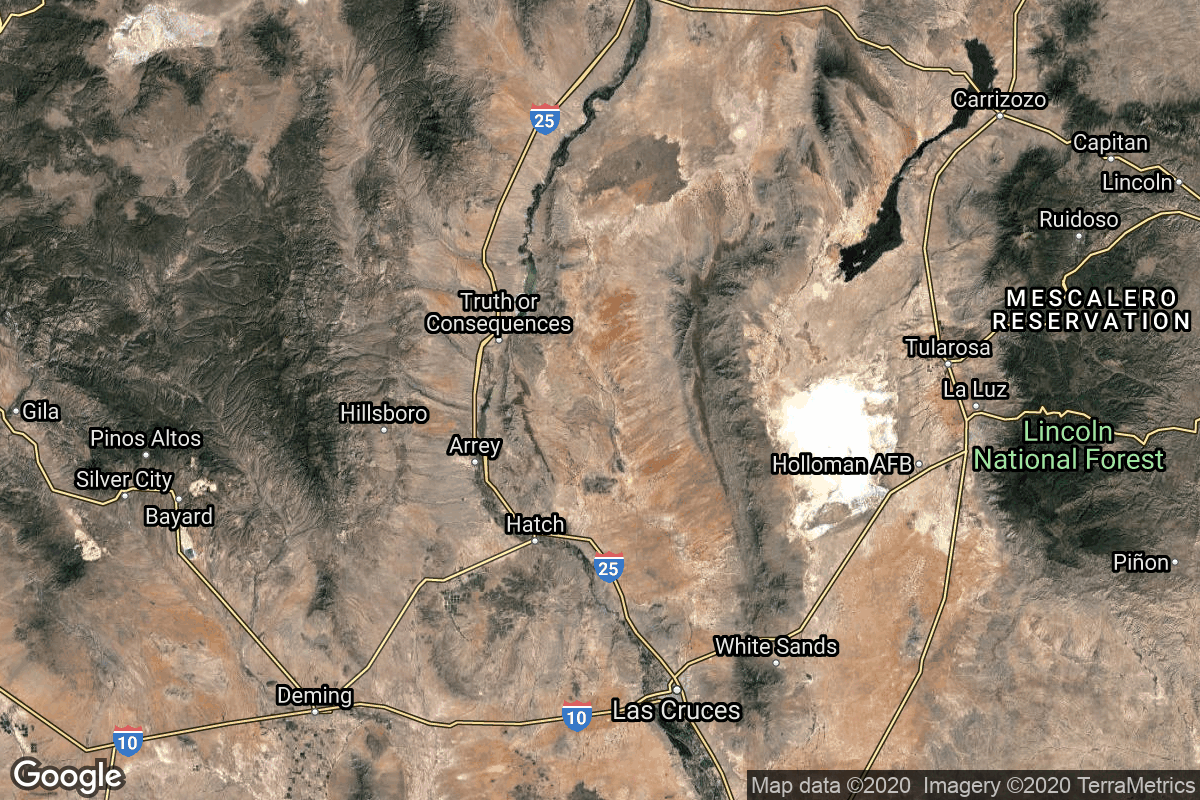
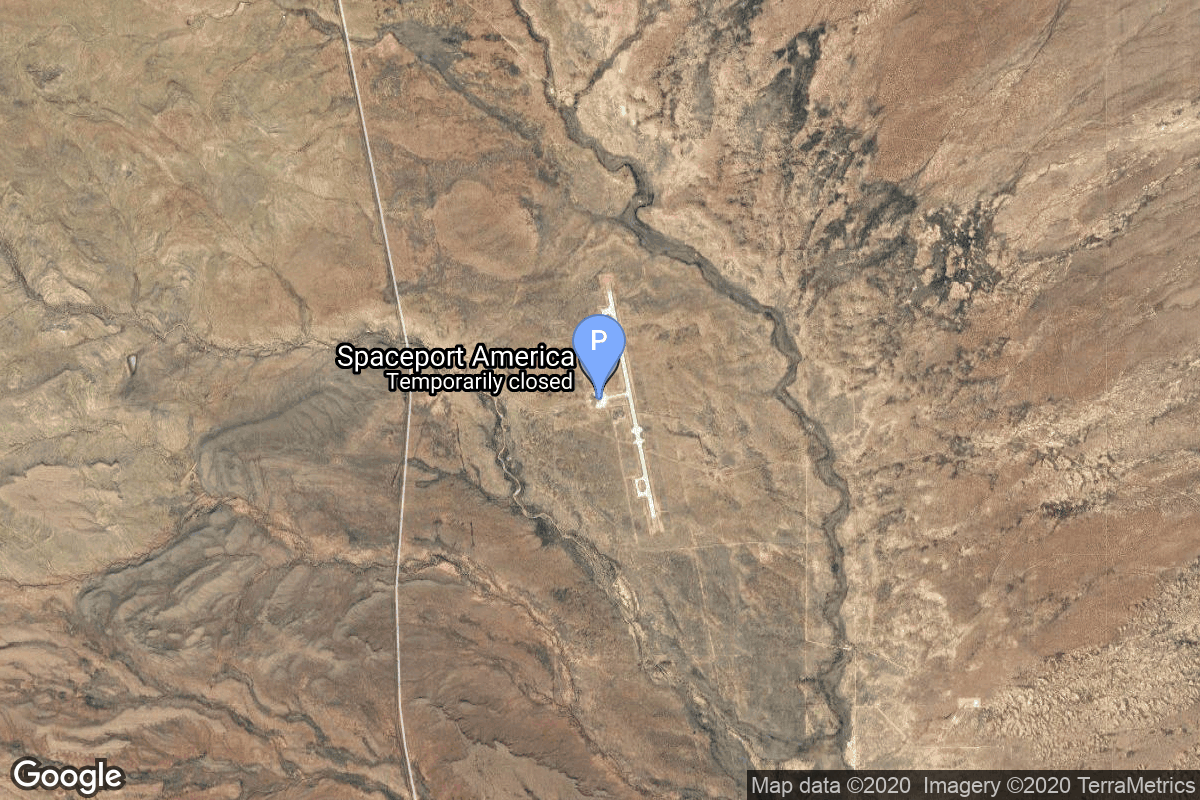
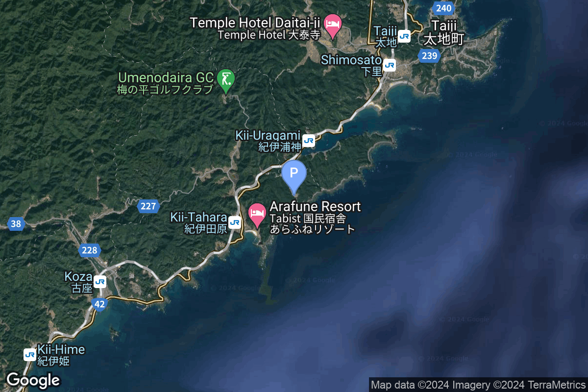
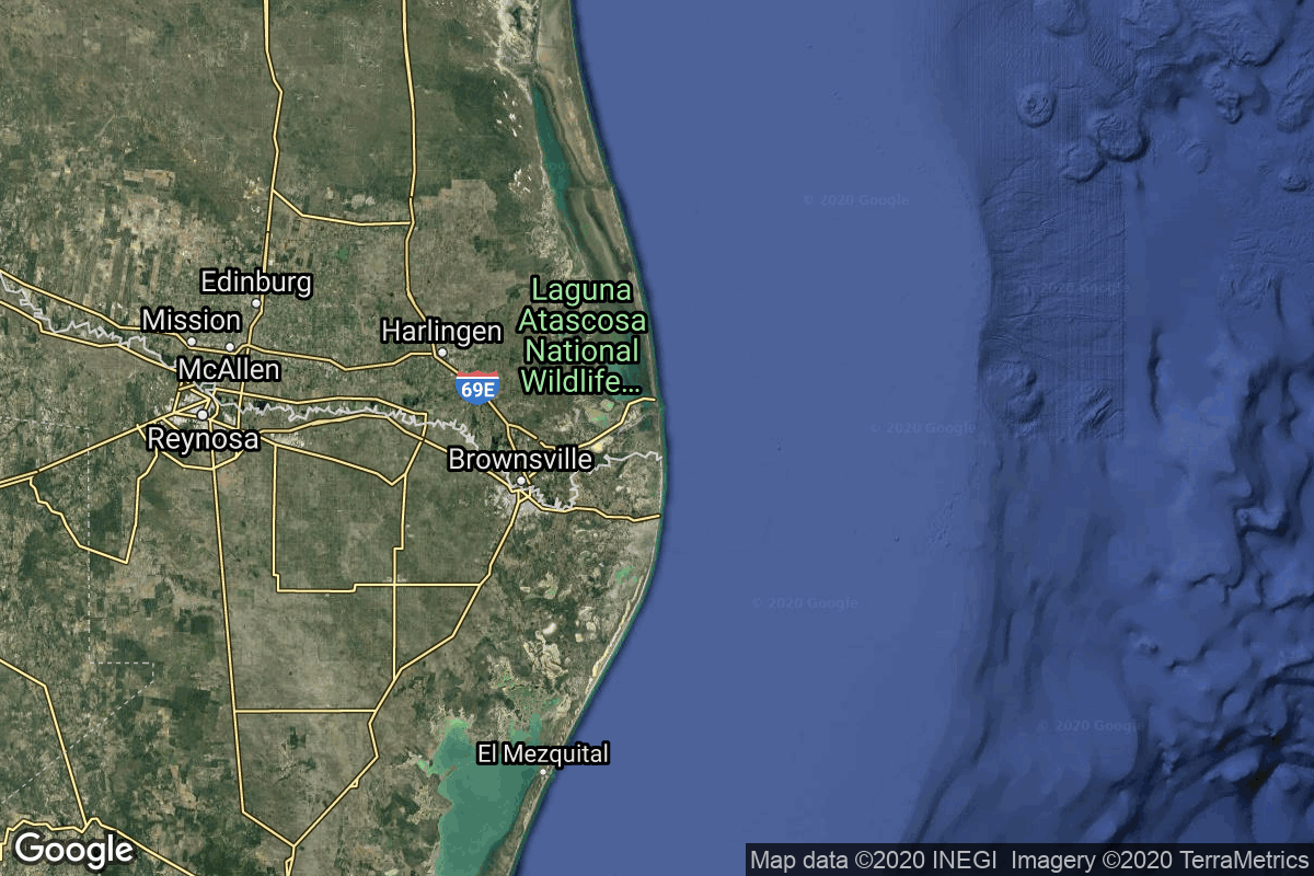
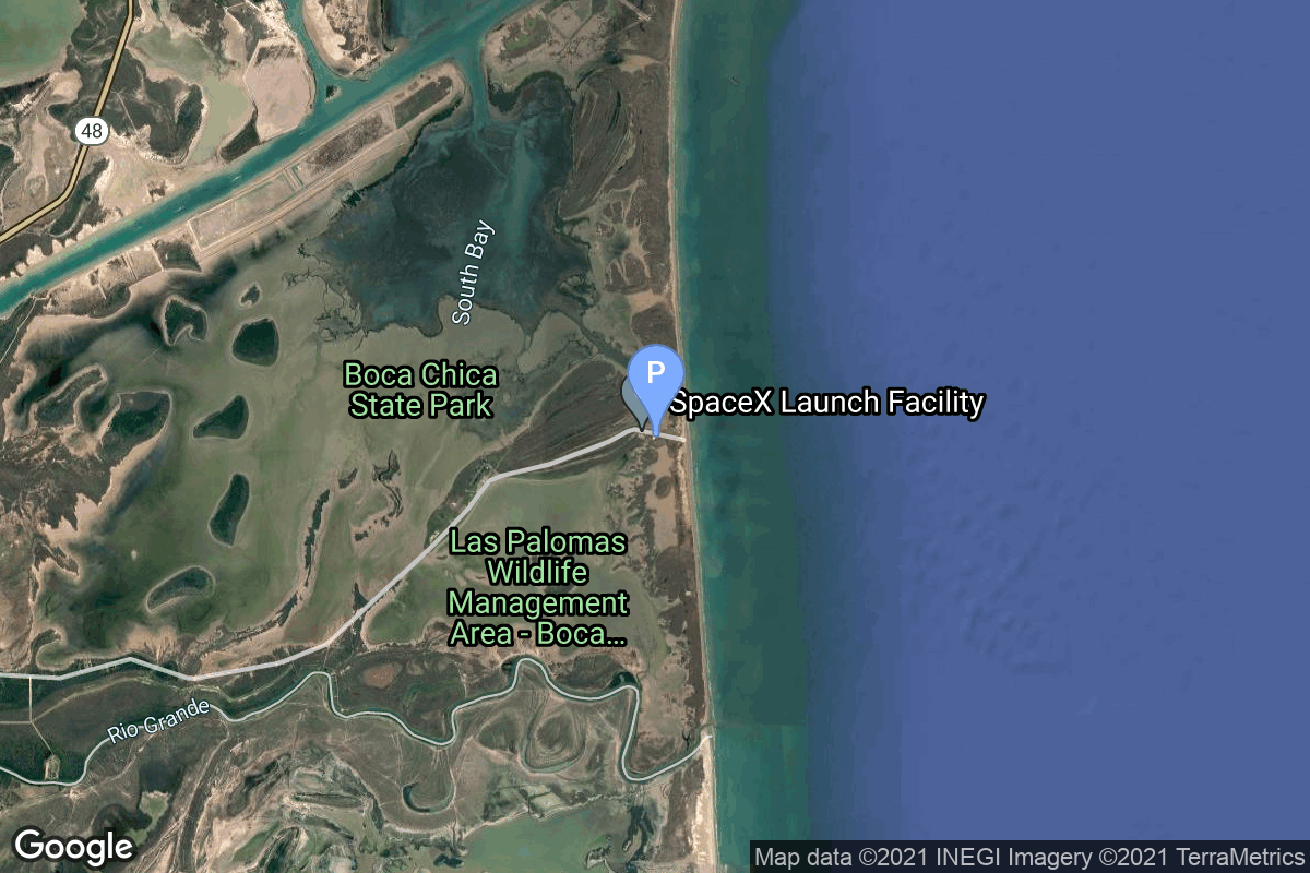
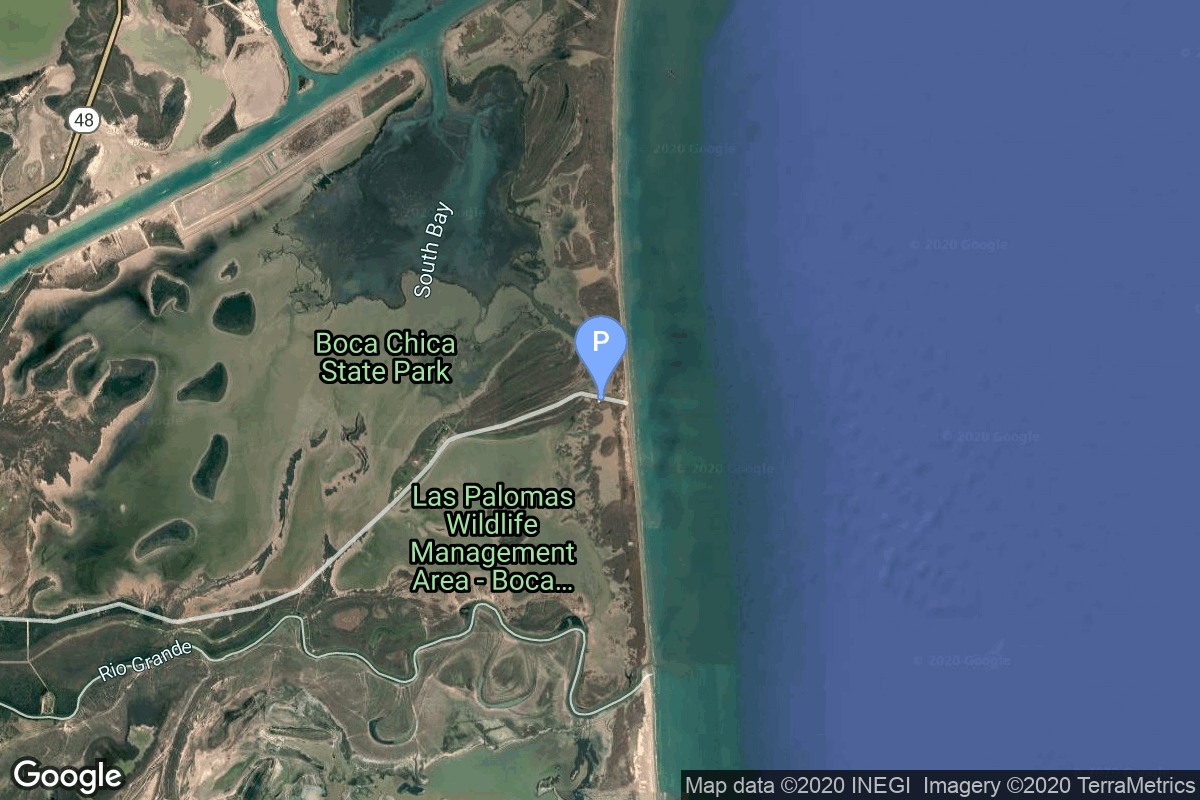
{ "count": 220, "next": "https://lldev.thespacedevs.com/2.2.0/pad/?format=api&limit=10&offset=160&ordering=location__name", "previous": "https://lldev.thespacedevs.com/2.2.0/pad/?format=api&limit=10&offset=140&ordering=location__name", "results": [ { "id": 148, "url": "https://lldev.thespacedevs.com/2.2.0/pad/148/?format=api", "agency_id": null, "name": "Borisoglebsk (K-496)", "description": null, "info_url": null, "wiki_url": "https://en.wikipedia.org/wiki/Russian_submarine_Borisoglebsk_(K-496)", "map_url": "https://www.google.com/maps?q=74.0000,38.0000", "latitude": "74.0", "longitude": "38.0", "location": { "id": 3, "url": "https://lldev.thespacedevs.com/2.2.0/location/3/?format=api", "name": "Sea Launch", "country_code": "???", "description": "", "map_image": "https://thespacedevs-prod.nyc3.digitaloceanspaces.com/media/map_images/location_3_20200803142448.jpg", "timezone_name": "", "total_launch_count": 56, "total_landing_count": 0 }, "country_code": "RUS", "map_image": "https://thespacedevs-prod.nyc3.digitaloceanspaces.com/media/map_images/pad_148_20200803143426.jpg", "total_launch_count": 1, "orbital_launch_attempt_count": 1 }, { "id": 88, "url": "https://lldev.thespacedevs.com/2.2.0/pad/88/?format=api", "agency_id": 34, "name": "Imam Khomeini Spaceport", "description": null, "info_url": null, "wiki_url": "https://en.wikipedia.org/wiki/Imam_Khomeini_Spaceport", "map_url": "https://www.google.com/maps?q=35.237005,53.9505", "latitude": "35.237005", "longitude": "53.9505", "location": { "id": 2, "url": "https://lldev.thespacedevs.com/2.2.0/location/2/?format=api", "name": "Semnan Space Center, Islamic Republic of Iran", "country_code": "IRN", "description": "Semnan Space Center is the primary Iranian spaceport, located 50 km southeast of the city of Semnan in the north of the country.", "map_image": "https://thespacedevs-prod.nyc3.digitaloceanspaces.com/media/map_images/location_2_20200803142458.jpg", "timezone_name": "Asia/Tehran", "total_launch_count": 15, "total_landing_count": 0 }, "country_code": "IRN", "map_image": "https://thespacedevs-prod.nyc3.digitaloceanspaces.com/media/map_images/pad_88_20200803143310.jpg", "total_launch_count": 7, "orbital_launch_attempt_count": 7 }, { "id": 58, "url": "https://lldev.thespacedevs.com/2.2.0/pad/58/?format=api", "agency_id": null, "name": "Safir Launch Pad", "description": null, "info_url": null, "wiki_url": "https://en.wikipedia.org/wiki/Semnan_Space_Center#Circular_launch_platform", "map_url": "https://www.google.com/maps?q=35.23462,53.920936", "latitude": "35.23462", "longitude": "53.920936", "location": { "id": 2, "url": "https://lldev.thespacedevs.com/2.2.0/location/2/?format=api", "name": "Semnan Space Center, Islamic Republic of Iran", "country_code": "IRN", "description": "Semnan Space Center is the primary Iranian spaceport, located 50 km southeast of the city of Semnan in the north of the country.", "map_image": "https://thespacedevs-prod.nyc3.digitaloceanspaces.com/media/map_images/location_2_20200803142458.jpg", "timezone_name": "Asia/Tehran", "total_launch_count": 15, "total_landing_count": 0 }, "country_code": "IRN", "map_image": "https://thespacedevs-prod.nyc3.digitaloceanspaces.com/media/map_images/pad_58_20200803143301.jpg", "total_launch_count": 8, "orbital_launch_attempt_count": 8 }, { "id": 115, "url": "https://lldev.thespacedevs.com/2.2.0/pad/115/?format=api", "agency_id": null, "name": "Launch Platform", "description": null, "info_url": null, "wiki_url": null, "map_url": "https://www.google.com/maps?q=36.200595,55.333939", "latitude": "36.200595", "longitude": "55.333939", "location": { "id": 145, "url": "https://lldev.thespacedevs.com/2.2.0/location/145/?format=api", "name": "Shahrud Missile Test Site, Islamic Republic of Iran", "country_code": "IRN", "description": "Shahroud Space Center is a Military Spaceport under control of the Islamic Revolutionary Guard Corps Aerospace Force (IRGCASF) located south-east of Shahroud Semnan Province, used to orbit military satellites for Iran's military space program.", "map_image": "https://thespacedevs-prod.nyc3.digitaloceanspaces.com/media/map_images/location_145_20200803142443.jpg", "timezone_name": "Asia/Tehran", "total_launch_count": 6, "total_landing_count": 0 }, "country_code": "IRN", "map_image": "https://thespacedevs-prod.nyc3.digitaloceanspaces.com/media/map_images/pad_115_20200803143303.jpg", "total_launch_count": 6, "orbital_launch_attempt_count": 6 }, { "id": 74, "url": "https://lldev.thespacedevs.com/2.2.0/pad/74/?format=api", "agency_id": 40, "name": "Unha Launch Pad", "description": null, "info_url": null, "wiki_url": "https://en.wikipedia.org/wiki/Sohae_Satellite_Launching_Station", "map_url": "https://www.google.com/maps?q=39.660065,124.705366", "latitude": "39.660065", "longitude": "124.705366", "location": { "id": 7, "url": "https://lldev.thespacedevs.com/2.2.0/location/7/?format=api", "name": "Sohae Satellite Launching Station, Cholsan County, North Pyongan Province, Democratic People's Republic of Korea", "country_code": "PRK", "description": "Sohae Satellite Launching Station is a rocket launching site in Tongch'ang-ri, Cholsan County, North Pyongan Province, North Korea. The base is located among hills close to the northern border with China. The spaceport was built on the site of the village Pongdong-ri which was displaced during construction.", "map_image": "https://thespacedevs-prod.nyc3.digitaloceanspaces.com/media/map_images/location_7_20200803142414.jpg", "timezone_name": "Asia/Pyongyang", "total_launch_count": 7, "total_landing_count": 0 }, "country_code": "PRK", "map_image": "https://thespacedevs-prod.nyc3.digitaloceanspaces.com/media/map_images/pad_74_20200803143358.jpg", "total_launch_count": 3, "orbital_launch_attempt_count": 3 }, { "id": 208, "url": "https://lldev.thespacedevs.com/2.2.0/pad/208/?format=api", "agency_id": null, "name": "Malligyong-1 Pad", "description": "", "info_url": null, "wiki_url": null, "map_url": "https://goo.gl/maps/DgkrTCHCsAcw1CWR7", "latitude": "39.652861", "longitude": "124.736639", "location": { "id": 7, "url": "https://lldev.thespacedevs.com/2.2.0/location/7/?format=api", "name": "Sohae Satellite Launching Station, Cholsan County, North Pyongan Province, Democratic People's Republic of Korea", "country_code": "PRK", "description": "Sohae Satellite Launching Station is a rocket launching site in Tongch'ang-ri, Cholsan County, North Pyongan Province, North Korea. The base is located among hills close to the northern border with China. The spaceport was built on the site of the village Pongdong-ri which was displaced during construction.", "map_image": "https://thespacedevs-prod.nyc3.digitaloceanspaces.com/media/map_images/location_7_20200803142414.jpg", "timezone_name": "Asia/Pyongyang", "total_launch_count": 7, "total_landing_count": 0 }, "country_code": "PRK", "map_image": "https://thespacedevs-prod.nyc3.digitaloceanspaces.com/media/map_images/pad_unknown_pad_prk_2023_20230601125308.jpg", "total_launch_count": 4, "orbital_launch_attempt_count": 4 }, { "id": 105, "url": "https://lldev.thespacedevs.com/2.2.0/pad/105/?format=api", "agency_id": 1001, "name": "Vertical Launch Area", "description": null, "info_url": null, "wiki_url": null, "map_url": "https://www.google.com/maps?q=32.9901856,-106.9750602", "latitude": "32.9901856", "longitude": "-106.9750602", "location": { "id": 31, "url": "https://lldev.thespacedevs.com/2.2.0/location/31/?format=api", "name": "Spaceport America, NM, USA", "country_code": "USA", "description": "Spaceport America is an FAA-licensed spaceport located in the Jornada del Muerto desert basin north of Las Cruces, New Mexico, and southeast of Truth or Consequences. With Virgin Galactic's launch of the VSS Unity, with three people aboard, on May 22, 2021, New Mexico became the third US state to launch humans into space after California and Florida.", "map_image": "https://thespacedevs-prod.nyc3.digitaloceanspaces.com/media/map_images/location_31_20200803142505.jpg", "timezone_name": "America/Denver", "total_launch_count": 4, "total_landing_count": 4 }, "country_code": "USA", "map_image": "https://thespacedevs-prod.nyc3.digitaloceanspaces.com/media/map_images/pad_105_20200803143432.jpg", "total_launch_count": 4, "orbital_launch_attempt_count": 0 }, { "id": 220, "url": "https://lldev.thespacedevs.com/2.2.0/pad/220/?format=api", "agency_id": null, "name": "Space One Launch Pad", "description": "", "info_url": "https://www.space-one.co.jp/", "wiki_url": null, "map_url": null, "latitude": "33.544224", "longitude": "135.889502", "location": { "id": 166, "url": "https://lldev.thespacedevs.com/2.2.0/location/166/?format=api", "name": "Spaceport Kii, Japan", "country_code": "JPN", "description": "Spaceport Kii is a commercial spaceport located in Kushimoto, Wakayama Prefecture in Japan.", "map_image": "https://thespacedevs-prod.nyc3.digitaloceanspaces.com/media/map_images/location_space_port_kii252c_japan_20240126073749.jpg", "timezone_name": "Asia/Tokyo", "total_launch_count": 2, "total_landing_count": 0 }, "country_code": "JPN", "map_image": "https://thespacedevs-prod.nyc3.digitaloceanspaces.com/media/map_images/pad_space_one_launch_pad_20240126074332.jpg", "total_launch_count": 2, "orbital_launch_attempt_count": 2 }, { "id": 188, "url": "https://lldev.thespacedevs.com/2.2.0/pad/188/?format=api", "agency_id": 121, "name": "Orbital Launch Mount A", "description": "The first launch and landing pad of the full version of the combined SpaceX Starship and Superheavy booster. First used for launch in April 2023.", "info_url": null, "wiki_url": "https://en.wikipedia.org/wiki/SpaceX_Starbase#Launch_site_(Orbital_Launch_Pad_A_and_B)", "map_url": "https://www.google.com/maps?q=25.9962,-97.154423", "latitude": "25.9962", "longitude": "-97.154423", "location": { "id": 143, "url": "https://lldev.thespacedevs.com/2.2.0/location/143/?format=api", "name": "SpaceX Starbase, TX, USA", "country_code": "USA", "description": "Starbase is an industrial complex for Starship rockets and the headquarters of the American aerospace manufacturer company SpaceX. Located near Brownsville, Texas, United States, it has been under construction since the late 2010s by SpaceX. Starbase is composed of a spaceport near the Gulf of Mexico, a production facility at the Boca Chica village, and a small structure test site along the Texas State Highway 4.", "map_image": "https://thespacedevs-prod.nyc3.digitaloceanspaces.com/media/map_images/location_143_20200803142438.jpg", "timezone_name": "America/Chicago", "total_launch_count": 18, "total_landing_count": 13 }, "country_code": "USA", "map_image": "https://thespacedevs-prod.nyc3.digitaloceanspaces.com/media/map_images/pad_orbital_launch_mount_a_20210514061342.jpg", "total_launch_count": 9, "orbital_launch_attempt_count": 0 }, { "id": 111, "url": "https://lldev.thespacedevs.com/2.2.0/pad/111/?format=api", "agency_id": 121, "name": "Suborbital Pad A", "description": "Suborbital Pad A was used for Starhopper flights, the SN5 and SN6 hops, as well as multiple Starship high altitude flight tests. It was demolished at the end of 2023, to make room for a second orbital pad.", "info_url": null, "wiki_url": "https://en.wikipedia.org/wiki/SpaceX_South_Texas_Launch_Site", "map_url": "https://www.google.com/maps?q=25.997116,-97.15503099856647", "latitude": "25.997116", "longitude": "-97.15503099856647", "location": { "id": 143, "url": "https://lldev.thespacedevs.com/2.2.0/location/143/?format=api", "name": "SpaceX Starbase, TX, USA", "country_code": "USA", "description": "Starbase is an industrial complex for Starship rockets and the headquarters of the American aerospace manufacturer company SpaceX. Located near Brownsville, Texas, United States, it has been under construction since the late 2010s by SpaceX. Starbase is composed of a spaceport near the Gulf of Mexico, a production facility at the Boca Chica village, and a small structure test site along the Texas State Highway 4.", "map_image": "https://thespacedevs-prod.nyc3.digitaloceanspaces.com/media/map_images/location_143_20200803142438.jpg", "timezone_name": "America/Chicago", "total_launch_count": 18, "total_landing_count": 13 }, "country_code": "USA", "map_image": "https://thespacedevs-prod.nyc3.digitaloceanspaces.com/media/map_images/pad_111_20200803143229.jpg", "total_launch_count": 7, "orbital_launch_attempt_count": 0 } ] }