Pad List
API endpoint that allows Location instances to be viewed.
GET: Return a list of all the existing location instances.
FILTERS: Parameters - 'id', 'agency_id', 'name', 'name__contains', 'latitude', 'latitude__contains', 'longitude', 'longitude__contains', 'location__name', 'location__name__contains', 'location__id', 'orbital_launch_attempt_count', 'total_launch_count'
ORDERING: Fields - 'id', 'name', 'location__id', 'location__name', 'orbital_launch_attempt_count', 'total_launch_count'
Example - /2.2.0/pad/?ordering=location__name
GET /2.2.0/pad/?format=api&offset=110&ordering=orbital_launch_attempt_count
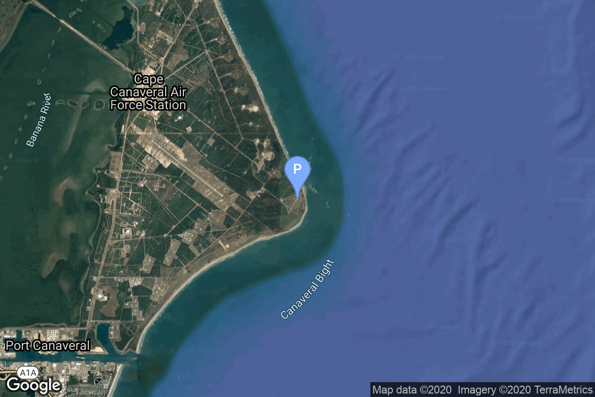
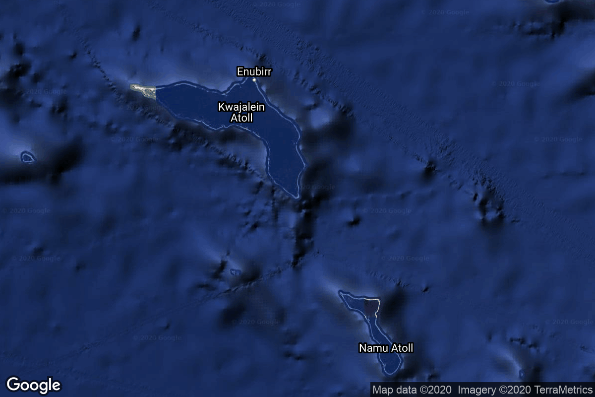
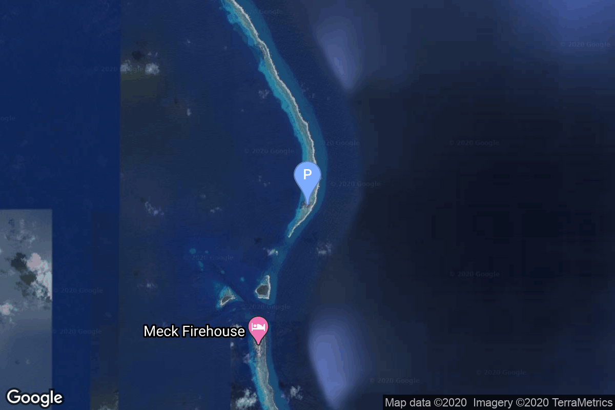
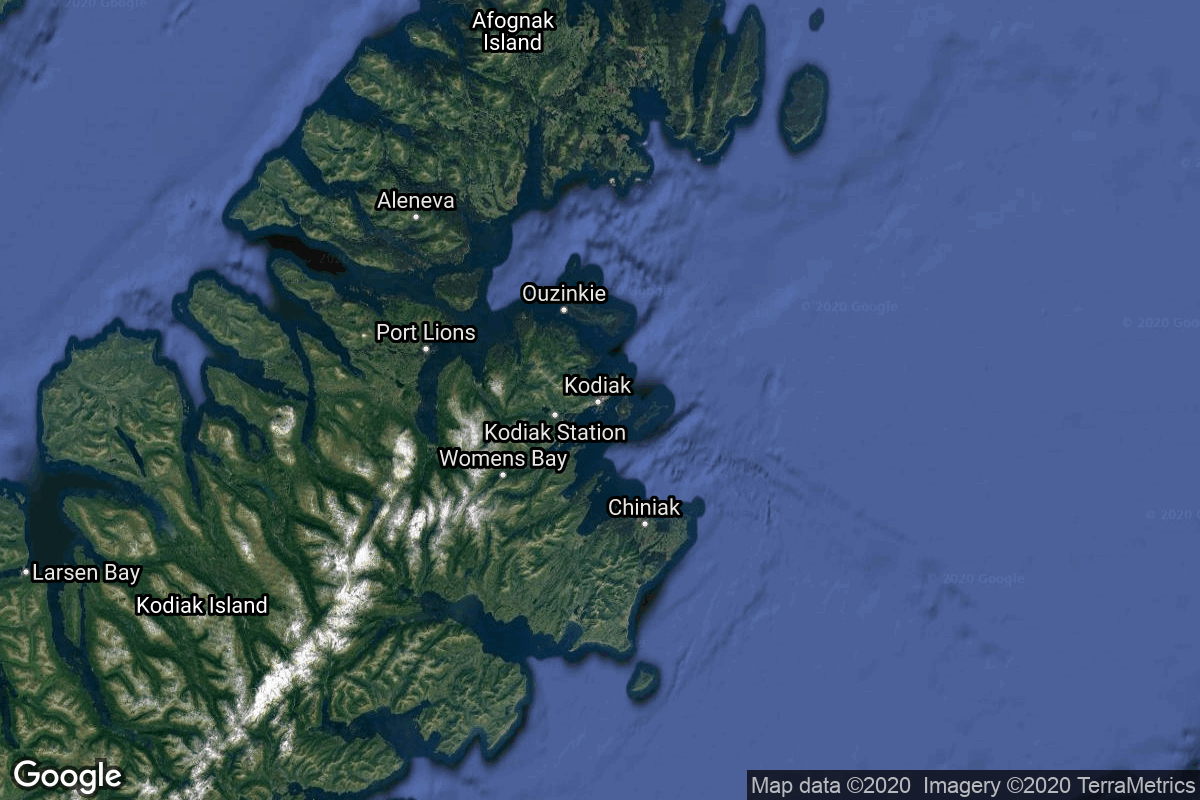
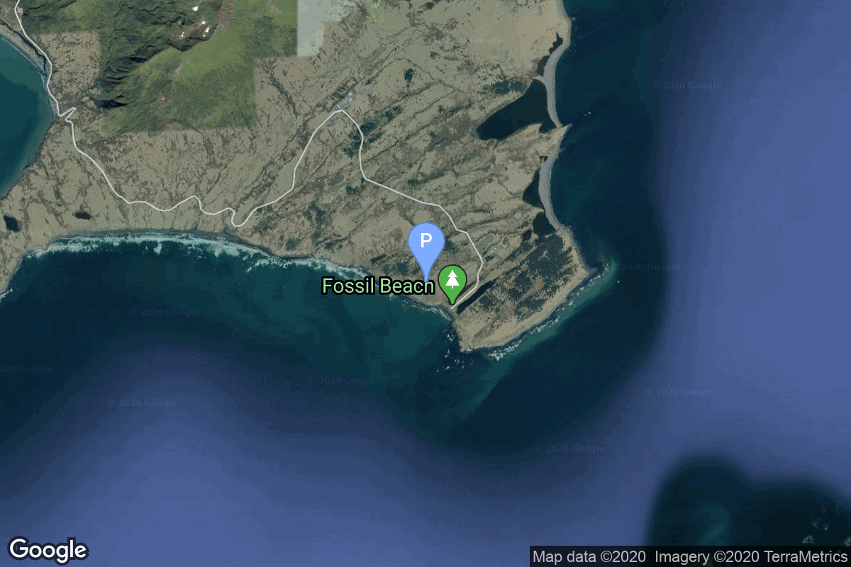
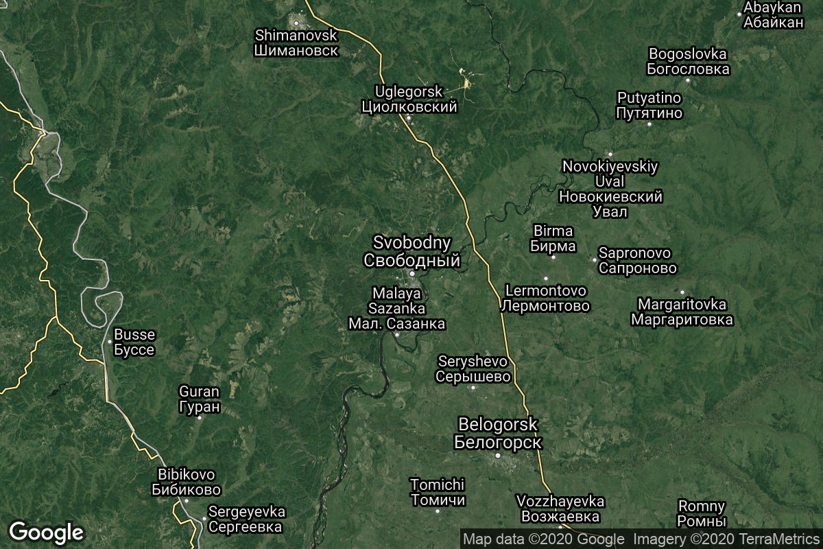
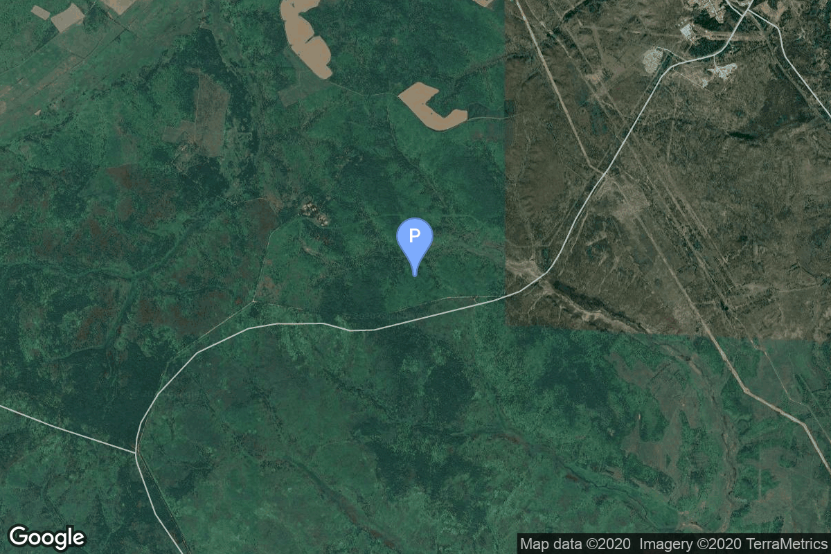
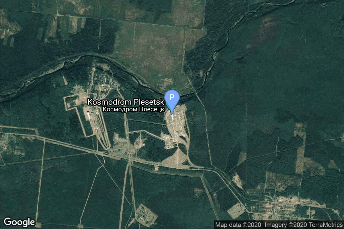
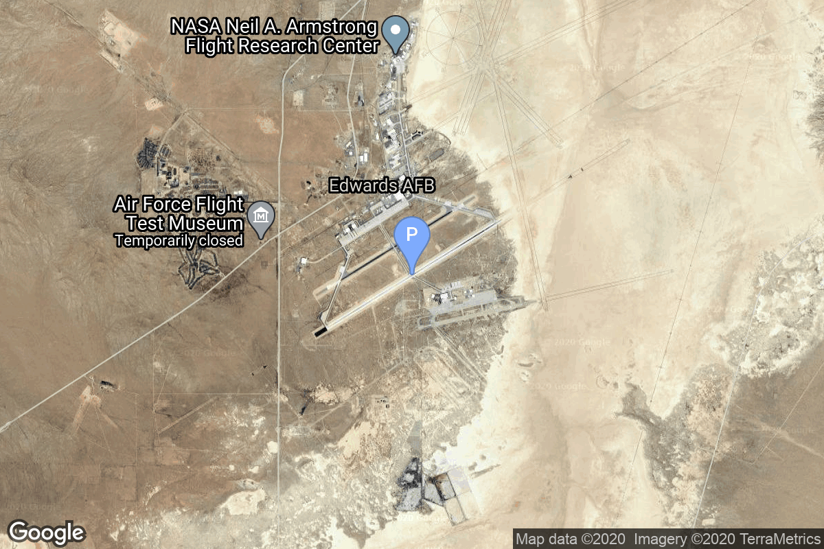
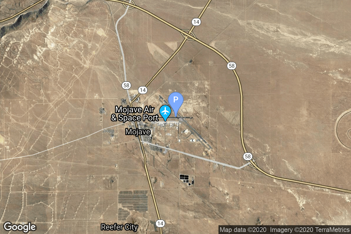
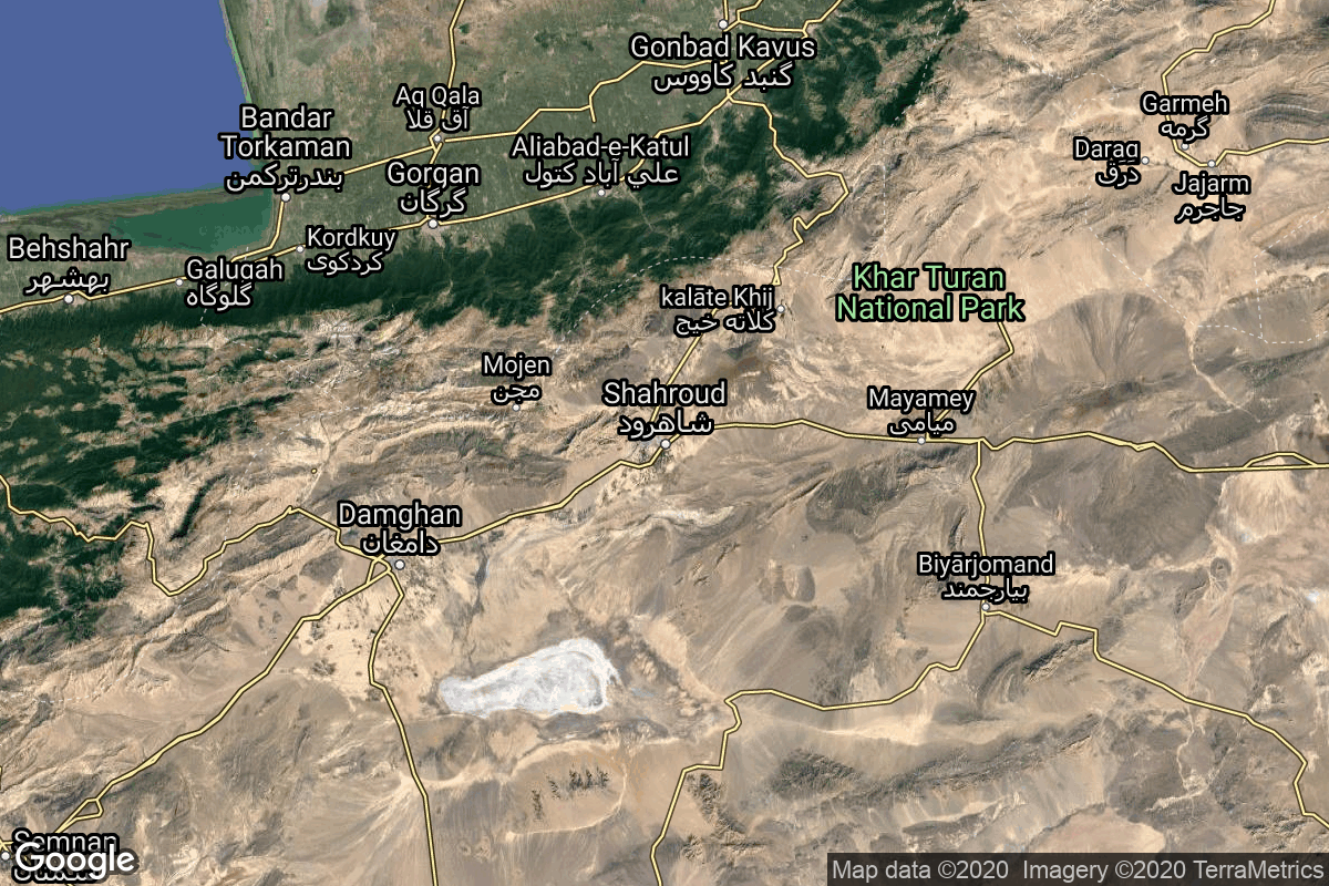
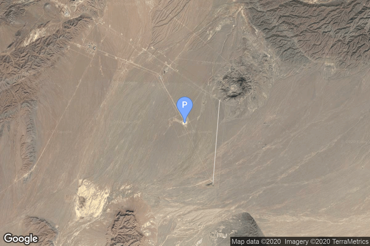
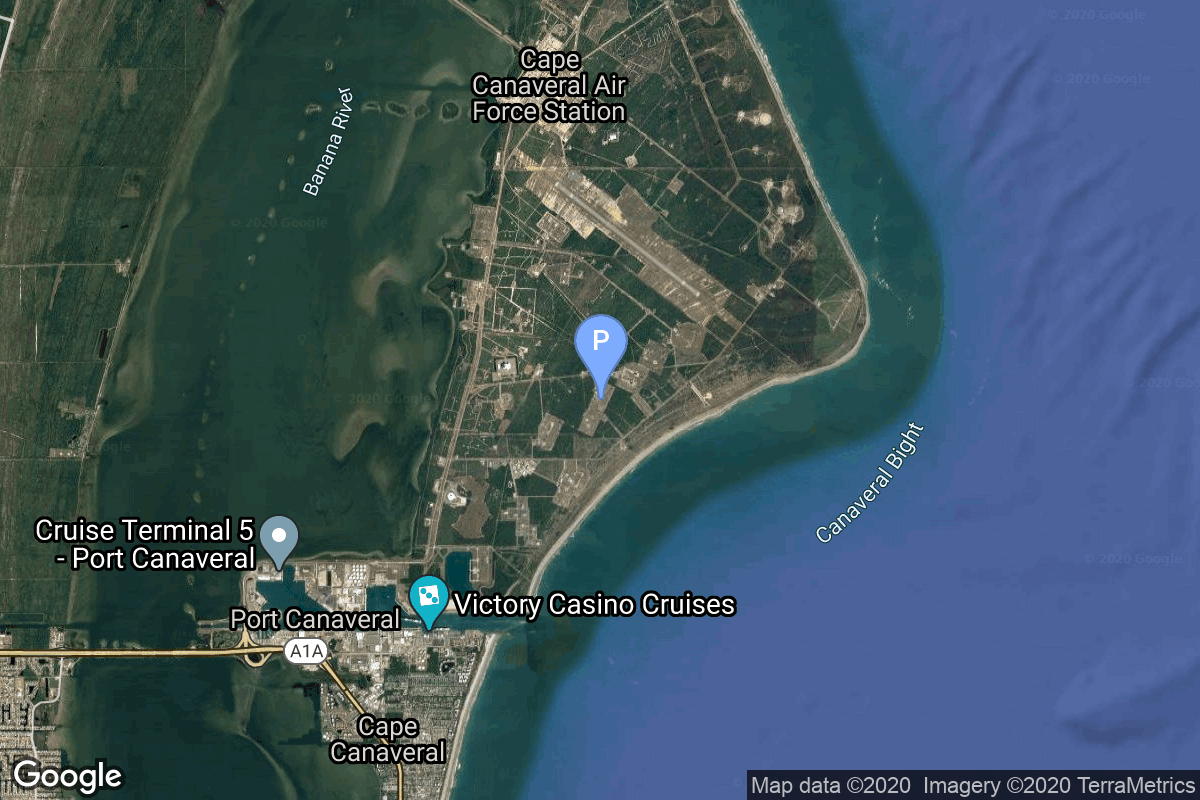
{ "count": 220, "next": "https://lldev.thespacedevs.com/2.2.0/pad/?format=api&limit=10&offset=120&ordering=orbital_launch_attempt_count", "previous": "https://lldev.thespacedevs.com/2.2.0/pad/?format=api&limit=10&offset=100&ordering=orbital_launch_attempt_count", "results": [ { "id": 27, "url": "https://lldev.thespacedevs.com/2.2.0/pad/27/?format=api", "agency_id": null, "name": "Space Launch Complex 46", "description": null, "info_url": null, "wiki_url": "https://en.wikipedia.org/wiki/Spaceport_Florida_Launch_Complex_46", "map_url": "https://www.google.com/maps?q=28.4584,-80.5284", "latitude": "28.4584", "longitude": "-80.5284", "location": { "id": 12, "url": "https://lldev.thespacedevs.com/2.2.0/location/12/?format=api", "name": "Cape Canaveral SFS, FL, USA", "country_code": "USA", "description": "Cape Canaveral Space Force Station (CCSFS) is an installation of the United States Space Force's Space Launch Delta 45, located on Cape Canaveral in Brevard County, Florida.", "map_image": "https://thespacedevs-prod.nyc3.digitaloceanspaces.com/media/map_images/location_12_20200803142519.jpg", "timezone_name": "America/New_York", "total_launch_count": 1031, "total_landing_count": 64 }, "country_code": "USA", "map_image": "https://thespacedevs-prod.nyc3.digitaloceanspaces.com/media/map_images/pad_27_20200803143319.jpg", "total_launch_count": 6, "orbital_launch_attempt_count": 5 }, { "id": 107, "url": "https://lldev.thespacedevs.com/2.2.0/pad/107/?format=api", "agency_id": null, "name": "Omelek Island", "description": null, "info_url": null, "wiki_url": "https://en.wikipedia.org/wiki/Omelek_Island", "map_url": "https://www.google.com/maps?q=9.047861,167.743", "latitude": "9.047861", "longitude": "167.743", "location": { "id": 142, "url": "https://lldev.thespacedevs.com/2.2.0/location/142/?format=api", "name": "Ronald Reagan Ballistic Missile Defense Test Site, Kwajalein Atoll, Marshall Islands", "country_code": "MHL", "description": "The Ronald Reagan Ballistic Missile Defense Test Site is a missile test range in Marshall Islands. It covers about 750,000 square miles (1,900,000 km2) and includes rocket launch sites at the Kwajalein Atoll (on multiple islands), Wake Island, and Aur Atoll. It primarily functions as a test facility for U.S. missile defense and space research programs.", "map_image": "https://thespacedevs-prod.nyc3.digitaloceanspaces.com/media/map_images/location_142_20200803142511.jpg", "timezone_name": "Pacific/Tarawa", "total_launch_count": 5, "total_landing_count": 0 }, "country_code": "MHL", "map_image": "https://thespacedevs-prod.nyc3.digitaloceanspaces.com/media/map_images/pad_107_20200803143450.jpg", "total_launch_count": 5, "orbital_launch_attempt_count": 5 }, { "id": 114, "url": "https://lldev.thespacedevs.com/2.2.0/pad/114/?format=api", "agency_id": null, "name": "Launch Pad 3B", "description": "", "info_url": null, "wiki_url": "https://en.wikipedia.org/wiki/Pacific_Spaceport_Complex_%E2%80%93_Alaska", "map_url": "https://www.google.com/maps?q=57.430673,-152.353077", "latitude": "57.430673", "longitude": "-152.353077", "location": { "id": 25, "url": "https://lldev.thespacedevs.com/2.2.0/location/25/?format=api", "name": "Pacific Spaceport Complex, Alaska, USA", "country_code": "USA", "description": "The Pacific Spaceport Complex – Alaska (PSCA), formerly known as the Kodiak Launch Complex (KLC), is a dual-use commercial and military spaceport for sub-orbital and orbital launch vehicles. The facility is owned and operated by the Alaska Aerospace Corporation, a corporation owned by the Government of Alaska, and is located on Kodiak Island in Alaska.", "map_image": "https://thespacedevs-prod.nyc3.digitaloceanspaces.com/media/map_images/location_25_20200803142500.jpg", "timezone_name": "America/Anchorage", "total_launch_count": 9, "total_landing_count": 0 }, "country_code": "USA", "map_image": "https://thespacedevs-prod.nyc3.digitaloceanspaces.com/media/map_images/pad_114_20200803145248.jpg", "total_launch_count": 5, "orbital_launch_attempt_count": 5 }, { "id": 128, "url": "https://lldev.thespacedevs.com/2.2.0/pad/128/?format=api", "agency_id": 163, "name": "5", "description": null, "info_url": null, "wiki_url": "https://en.wikipedia.org/wiki/Svobodny_Cosmodrome", "map_url": "https://www.google.com/maps?q=51.7,127.997806", "latitude": "51.7", "longitude": "127.997806", "location": { "id": 146, "url": "https://lldev.thespacedevs.com/2.2.0/location/146/?format=api", "name": "Svobodny Cosmodrome, Russian Federation", "country_code": "RUS", "description": "Svobodny was a Russian rocket launch site located approximately 15 km north of Svobodny, Amur Oblast. The cosmodrome was originally constructed as a launch site for intercontinental ballistic missiles called Svobodny-18. It was initially selected as a replacement for Baikonur Cosmodrome in the Kazakh Soviet Socialist Republic, which became independent as Kazakhstan after the dissolution of the Soviet Union. However the development of Svobodny was subsequently ended in 2007 in favour of a totally new space port, the Vostochny Cosmodrome.", "map_image": "https://thespacedevs-prod.nyc3.digitaloceanspaces.com/media/map_images/location_146_20200803142450.jpg", "timezone_name": "Asia/Yakutsk", "total_launch_count": 5, "total_landing_count": 0 }, "country_code": "RUS", "map_image": "https://thespacedevs-prod.nyc3.digitaloceanspaces.com/media/map_images/pad_128_20200803143250.jpg", "total_launch_count": 5, "orbital_launch_attempt_count": 5 }, { "id": 9, "url": "https://lldev.thespacedevs.com/2.2.0/pad/9/?format=api", "agency_id": 259, "name": "Launch Area 96", "description": "", "info_url": null, "wiki_url": "https://en.wikipedia.org/wiki/LandSpace", "map_url": "https://www.google.com/maps?q=40.91491,100.245488", "latitude": "40.91491", "longitude": "100.245488", "location": { "id": 17, "url": "https://lldev.thespacedevs.com/2.2.0/location/17/?format=api", "name": "Jiuquan Satellite Launch Center, People's Republic of China", "country_code": "CHN", "description": "Jiuquan Satellite Launch Center is a Chinese spaceport located between the Ejin, Alxa, Inner Mongolia and Hangtian Town, Jinta County, Jiuquan, Gansu Province. It is part of the Dongfeng Aerospace City (Base 10).", "map_image": "https://thespacedevs-prod.nyc3.digitaloceanspaces.com/media/map_images/location_17_20200803142429.jpg", "timezone_name": "Asia/Shanghai", "total_launch_count": 253, "total_landing_count": 0 }, "country_code": "CHN", "map_image": "https://thespacedevs-prod.nyc3.digitaloceanspaces.com/media/map_images/pad_9_20200803143341.jpg", "total_launch_count": 5, "orbital_launch_attempt_count": 5 }, { "id": 70, "url": "https://lldev.thespacedevs.com/2.2.0/pad/70/?format=api", "agency_id": 100, "name": "Edwards Air Force Base", "description": null, "info_url": null, "wiki_url": "https://en.wikipedia.org/wiki/Edwards_Air_Force_Base", "map_url": "https://www.google.com/maps?q=34.905556,-117.883611", "latitude": "34.905556", "longitude": "-117.883611", "location": { "id": 20, "url": "https://lldev.thespacedevs.com/2.2.0/location/20/?format=api", "name": "Air launch to orbit", "country_code": "???", "description": "", "map_image": "https://thespacedevs-prod.nyc3.digitaloceanspaces.com/media/map_images/location_20_20200803142433.jpg", "timezone_name": "", "total_launch_count": 51, "total_landing_count": 0 }, "country_code": "USA", "map_image": "https://thespacedevs-prod.nyc3.digitaloceanspaces.com/media/map_images/pad_70_20200803143352.jpg", "total_launch_count": 5, "orbital_launch_attempt_count": 5 }, { "id": 53, "url": "https://lldev.thespacedevs.com/2.2.0/pad/53/?format=api", "agency_id": null, "name": "Mojave Air and Space Port", "description": null, "info_url": null, "wiki_url": "https://en.wikipedia.org/wiki/Mojave_Air_and_Space_Port", "map_url": "https://www.google.com/maps?q=35.059444,-118.151667", "latitude": "35.059444", "longitude": "-118.151667", "location": { "id": 20, "url": "https://lldev.thespacedevs.com/2.2.0/location/20/?format=api", "name": "Air launch to orbit", "country_code": "???", "description": "", "map_image": "https://thespacedevs-prod.nyc3.digitaloceanspaces.com/media/map_images/location_20_20200803142433.jpg", "timezone_name": "", "total_launch_count": 51, "total_landing_count": 0 }, "country_code": "USA", "map_image": "https://thespacedevs-prod.nyc3.digitaloceanspaces.com/media/map_images/pad_53_20200803143612.jpg", "total_launch_count": 5, "orbital_launch_attempt_count": 5 }, { "id": 115, "url": "https://lldev.thespacedevs.com/2.2.0/pad/115/?format=api", "agency_id": null, "name": "Launch Platform", "description": null, "info_url": null, "wiki_url": null, "map_url": "https://www.google.com/maps?q=36.200595,55.333939", "latitude": "36.200595", "longitude": "55.333939", "location": { "id": 145, "url": "https://lldev.thespacedevs.com/2.2.0/location/145/?format=api", "name": "Shahrud Missile Test Site, Islamic Republic of Iran", "country_code": "IRN", "description": "Shahroud Space Center is a Military Spaceport under control of the Islamic Revolutionary Guard Corps Aerospace Force (IRGCASF) located south-east of Shahroud Semnan Province, used to orbit military satellites for Iran's military space program.", "map_image": "https://thespacedevs-prod.nyc3.digitaloceanspaces.com/media/map_images/location_145_20200803142443.jpg", "timezone_name": "Asia/Tehran", "total_launch_count": 6, "total_landing_count": 0 }, "country_code": "IRN", "map_image": "https://thespacedevs-prod.nyc3.digitaloceanspaces.com/media/map_images/pad_115_20200803143303.jpg", "total_launch_count": 6, "orbital_launch_attempt_count": 6 }, { "id": 97, "url": "https://lldev.thespacedevs.com/2.2.0/pad/97/?format=api", "agency_id": 161, "name": "Launch Complex 26B", "description": null, "info_url": null, "wiki_url": "https://en.wikipedia.org/wiki/Cape_Canaveral_Air_Force_Station_Launch_Complex_26", "map_url": "https://www.google.com/maps?q=28.4433,-80.5712", "latitude": "28.4433", "longitude": "-80.5712", "location": { "id": 12, "url": "https://lldev.thespacedevs.com/2.2.0/location/12/?format=api", "name": "Cape Canaveral SFS, FL, USA", "country_code": "USA", "description": "Cape Canaveral Space Force Station (CCSFS) is an installation of the United States Space Force's Space Launch Delta 45, located on Cape Canaveral in Brevard County, Florida.", "map_image": "https://thespacedevs-prod.nyc3.digitaloceanspaces.com/media/map_images/location_12_20200803142519.jpg", "timezone_name": "America/New_York", "total_launch_count": 1031, "total_landing_count": 64 }, "country_code": "USA", "map_image": "https://thespacedevs-prod.nyc3.digitaloceanspaces.com/media/map_images/pad_97_20200803143224.jpg", "total_launch_count": 6, "orbital_launch_attempt_count": 6 }, { "id": 145, "url": "https://lldev.thespacedevs.com/2.2.0/pad/145/?format=api", "agency_id": null, "name": "Naval Air Weapons Station China Lake", "description": null, "info_url": null, "wiki_url": "https://en.wikipedia.org/wiki/Naval_Air_Weapons_Station_China_Lake", "map_url": "https://www.google.com/maps?q=35.6855556,-117.6941384", "latitude": "35.6855556", "longitude": "-117.6941384", "location": { "id": 144, "url": "https://lldev.thespacedevs.com/2.2.0/location/144/?format=api", "name": "Air launch to Suborbital flight", "country_code": "???", "description": "", "map_image": "https://thespacedevs-prod.nyc3.digitaloceanspaces.com/media/map_images/location_144_20200803142439.jpg", "timezone_name": "", "total_launch_count": 86, "total_landing_count": 0 }, "country_code": "USA", "map_image": "https://thespacedevs-prod.nyc3.digitaloceanspaces.com/media/map_images/pad_145_20200803143330.jpg", "total_launch_count": 6, "orbital_launch_attempt_count": 6 } ] }