Pad List
API endpoint that allows Location instances to be viewed.
GET: Return a list of all the existing location instances.
FILTERS: Parameters - 'id', 'agency_id', 'name', 'name__contains', 'latitude', 'latitude__contains', 'longitude', 'longitude__contains', 'location__name', 'location__name__contains', 'location__id', 'orbital_launch_attempt_count', 'total_launch_count'
ORDERING: Fields - 'id', 'name', 'location__id', 'location__name', 'orbital_launch_attempt_count', 'total_launch_count'
Example - /2.2.0/pad/?ordering=location__name
GET /2.2.0/pad/?format=api&offset=100&ordering=id
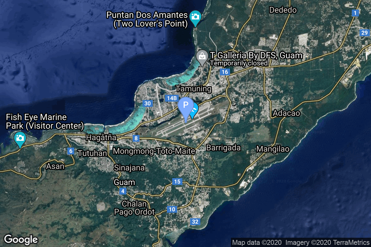
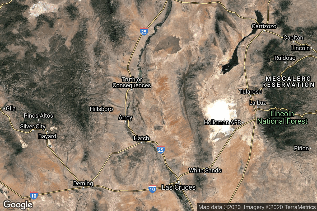
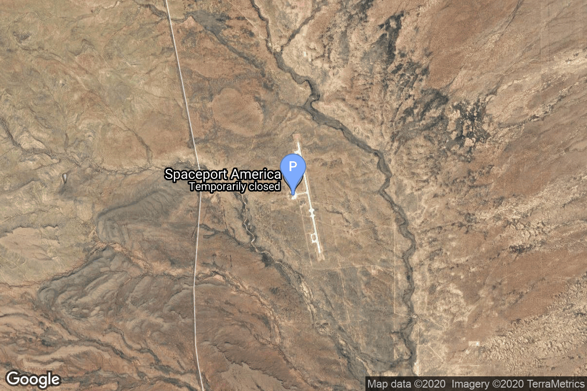
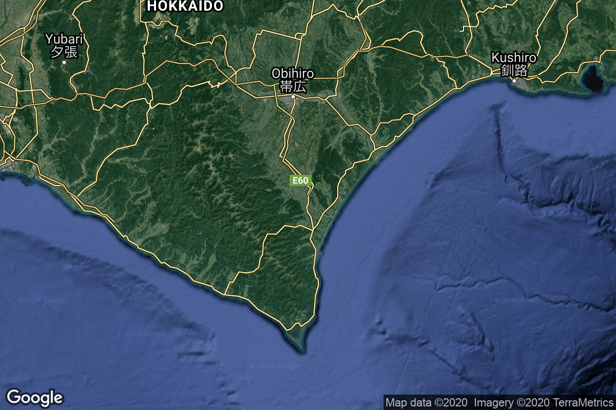
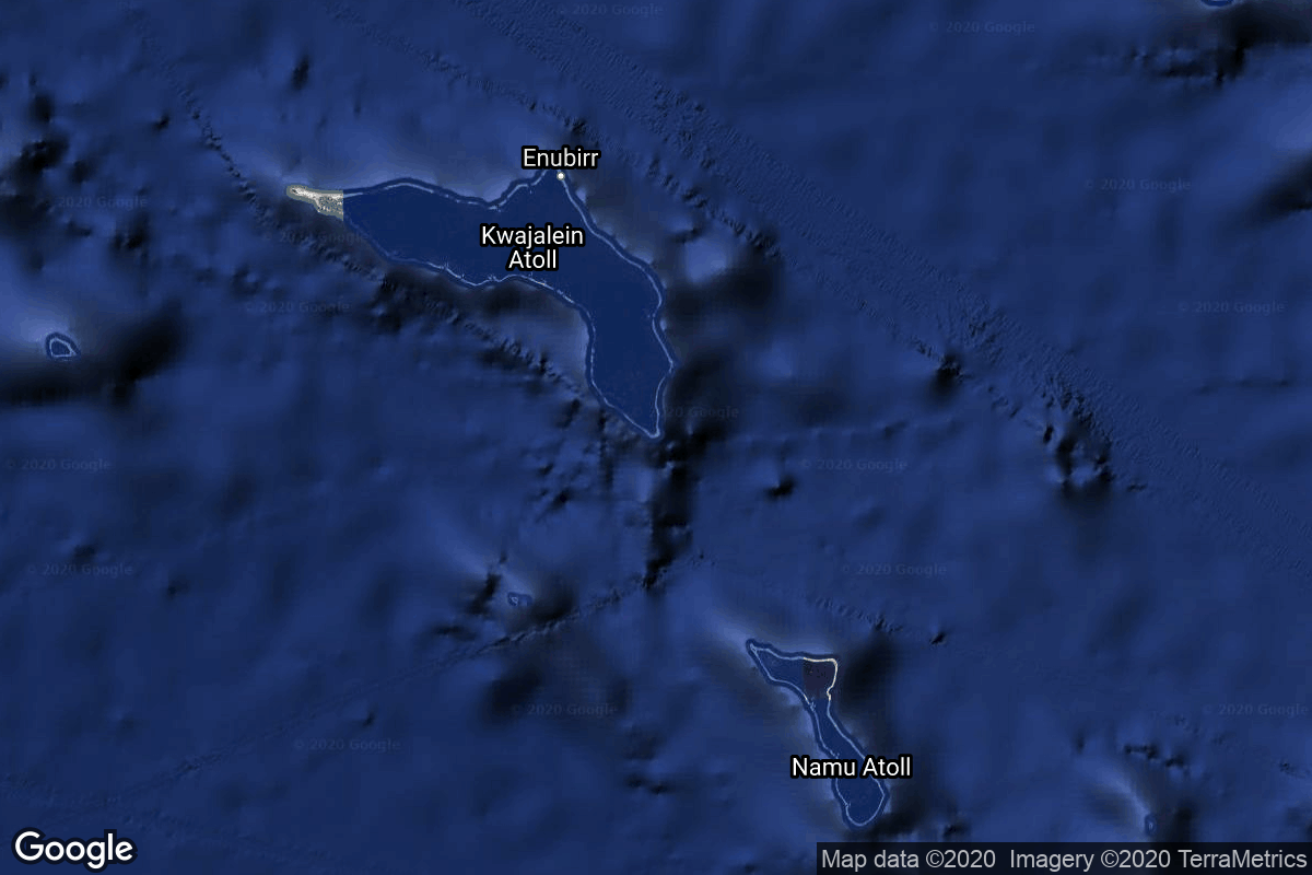
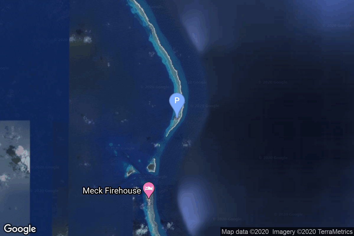
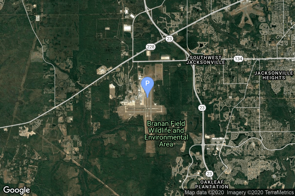
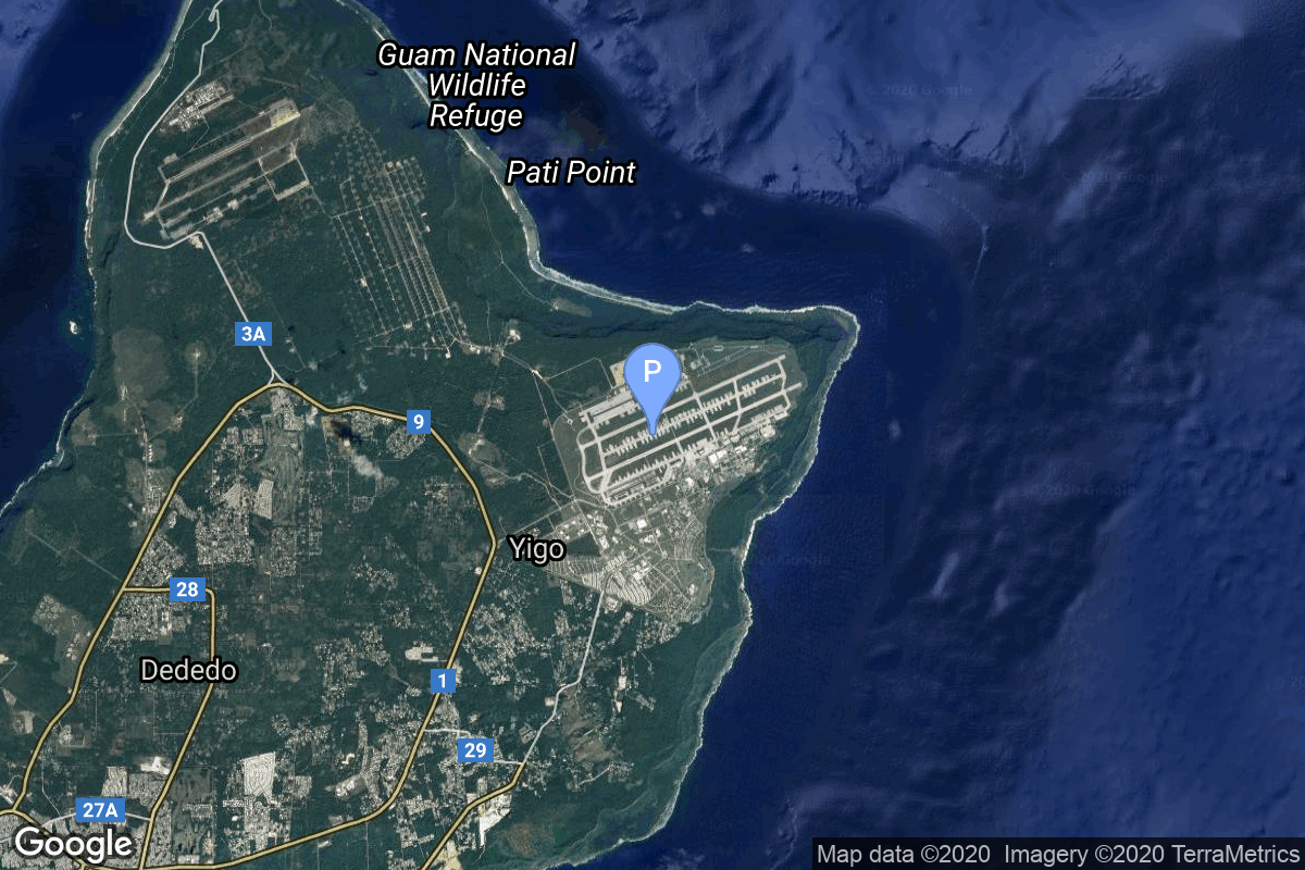
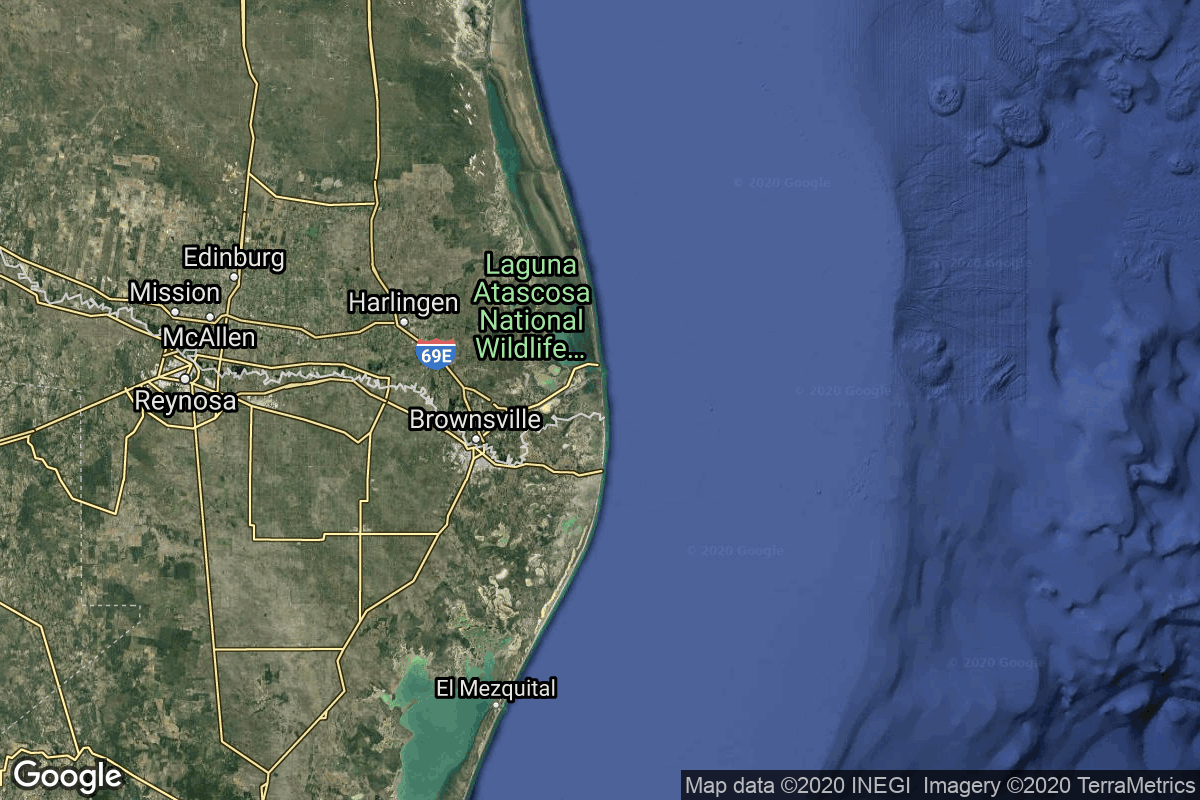
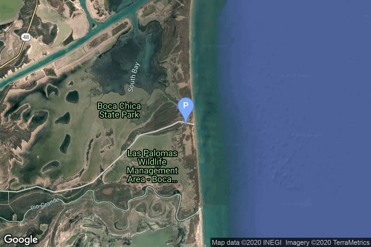
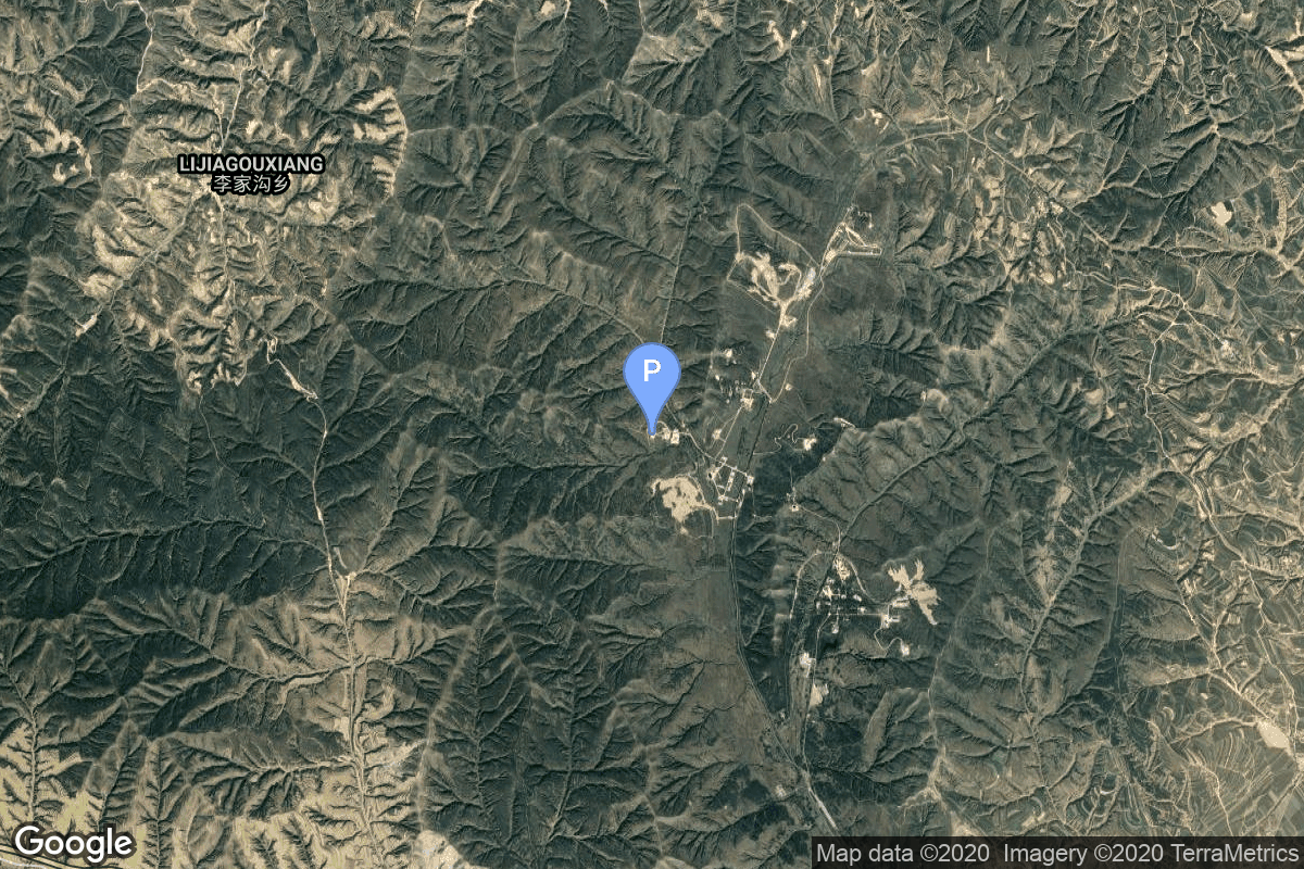
{ "count": 220, "next": "https://lldev.thespacedevs.com/2.2.0/pad/?format=api&limit=10&offset=110&ordering=id", "previous": "https://lldev.thespacedevs.com/2.2.0/pad/?format=api&limit=10&offset=90&ordering=id", "results": [ { "id": 104, "url": "https://lldev.thespacedevs.com/2.2.0/pad/104/?format=api", "agency_id": null, "name": "Guam International Airport", "description": null, "info_url": null, "wiki_url": "https://en.wikipedia.org/wiki/Antonio_B._Won_Pat_International_Airport", "map_url": "https://www.google.com/maps?q=13.483889,144.797222", "latitude": "13.483889", "longitude": "144.797222", "location": { "id": 20, "url": "https://lldev.thespacedevs.com/2.2.0/location/20/?format=api", "name": "Air launch to orbit", "country_code": "???", "description": "", "map_image": "https://thespacedevs-prod.nyc3.digitaloceanspaces.com/media/map_images/location_20_20200803142433.jpg", "timezone_name": "", "total_launch_count": 51, "total_landing_count": 0 }, "country_code": "USA", "map_image": "https://thespacedevs-prod.nyc3.digitaloceanspaces.com/media/map_images/pad_104_20200803143546.jpg", "total_launch_count": 0, "orbital_launch_attempt_count": 0 }, { "id": 105, "url": "https://lldev.thespacedevs.com/2.2.0/pad/105/?format=api", "agency_id": 1001, "name": "Vertical Launch Area", "description": null, "info_url": null, "wiki_url": null, "map_url": "https://www.google.com/maps?q=32.9901856,-106.9750602", "latitude": "32.9901856", "longitude": "-106.9750602", "location": { "id": 31, "url": "https://lldev.thespacedevs.com/2.2.0/location/31/?format=api", "name": "Spaceport America, NM, USA", "country_code": "USA", "description": "Spaceport America is an FAA-licensed spaceport located in the Jornada del Muerto desert basin north of Las Cruces, New Mexico, and southeast of Truth or Consequences. With Virgin Galactic's launch of the VSS Unity, with three people aboard, on May 22, 2021, New Mexico became the third US state to launch humans into space after California and Florida.", "map_image": "https://thespacedevs-prod.nyc3.digitaloceanspaces.com/media/map_images/location_31_20200803142505.jpg", "timezone_name": "America/Denver", "total_launch_count": 4, "total_landing_count": 4 }, "country_code": "USA", "map_image": "https://thespacedevs-prod.nyc3.digitaloceanspaces.com/media/map_images/pad_105_20200803143432.jpg", "total_launch_count": 4, "orbital_launch_attempt_count": 0 }, { "id": 106, "url": "https://lldev.thespacedevs.com/2.2.0/pad/106/?format=api", "agency_id": 1002, "name": "Launch Complex 0", "description": null, "info_url": null, "wiki_url": "https://en.wikipedia.org/wiki/Taiki_Aerospace_Research_Field", "map_url": "https://www.google.com/maps?q=42.50000000,143.441389", "latitude": "42.5", "longitude": "143.441389", "location": { "id": 32, "url": "https://lldev.thespacedevs.com/2.2.0/location/32/?format=api", "name": "Hokkaido Spaceport, Japan", "country_code": "JPN", "description": "Rocket launch pad of Interstellar Technologies, located next to the Taiki Aerospace Research Field.", "map_image": "https://thespacedevs-prod.nyc3.digitaloceanspaces.com/media/map_images/location_32_20200803142407.jpg", "timezone_name": "Asia/Tokyo", "total_launch_count": 7, "total_landing_count": 0 }, "country_code": "JPN", "map_image": "https://thespacedevs-prod.nyc3.digitaloceanspaces.com/media/map_images/pad_106_20200803143453.jpg", "total_launch_count": 7, "orbital_launch_attempt_count": 0 }, { "id": 107, "url": "https://lldev.thespacedevs.com/2.2.0/pad/107/?format=api", "agency_id": null, "name": "Omelek Island", "description": null, "info_url": null, "wiki_url": "https://en.wikipedia.org/wiki/Omelek_Island", "map_url": "https://www.google.com/maps?q=9.047861,167.743", "latitude": "9.047861", "longitude": "167.743", "location": { "id": 142, "url": "https://lldev.thespacedevs.com/2.2.0/location/142/?format=api", "name": "Ronald Reagan Ballistic Missile Defense Test Site, Kwajalein Atoll, Marshall Islands", "country_code": "MHL", "description": "The Ronald Reagan Ballistic Missile Defense Test Site is a missile test range in Marshall Islands. It covers about 750,000 square miles (1,900,000 km2) and includes rocket launch sites at the Kwajalein Atoll (on multiple islands), Wake Island, and Aur Atoll. It primarily functions as a test facility for U.S. missile defense and space research programs.", "map_image": "https://thespacedevs-prod.nyc3.digitaloceanspaces.com/media/map_images/location_142_20200803142511.jpg", "timezone_name": "Pacific/Tarawa", "total_launch_count": 5, "total_landing_count": 0 }, "country_code": "MHL", "map_image": "https://thespacedevs-prod.nyc3.digitaloceanspaces.com/media/map_images/pad_107_20200803143450.jpg", "total_launch_count": 5, "orbital_launch_attempt_count": 5 }, { "id": 108, "url": "https://lldev.thespacedevs.com/2.2.0/pad/108/?format=api", "agency_id": 63, "name": "Cosmodrome Site 1A", "description": "", "info_url": null, "wiki_url": "https://en.wikipedia.org/wiki/Vostochny_Cosmodrome", "map_url": "https://www.google.com/maps?q=51.884395,128.333932", "latitude": "51.884395", "longitude": "128.333932", "location": { "id": 18, "url": "https://lldev.thespacedevs.com/2.2.0/location/18/?format=api", "name": "Vostochny Cosmodrome, Siberia, Russian Federation", "country_code": "RUS", "description": "The Vostochny Cosmodrome is a Russian spaceport above the 51st parallel north in the Amur Oblast, in the Russian Far East. It is intended to reduce Russia's dependency on the Baikonur Cosmodrome in Kazakhstan. The first launch took place on 28 April 2016 at 02:01 UTC.", "map_image": "https://thespacedevs-prod.nyc3.digitaloceanspaces.com/media/map_images/location_18_20200803142401.jpg", "timezone_name": "Asia/Yakutsk", "total_launch_count": 19, "total_landing_count": 0 }, "country_code": "RUS", "map_image": "https://thespacedevs-prod.nyc3.digitaloceanspaces.com/media/map_images/pad_108_20200803143525.jpg", "total_launch_count": 1, "orbital_launch_attempt_count": 1 }, { "id": 109, "url": "https://lldev.thespacedevs.com/2.2.0/pad/109/?format=api", "agency_id": null, "name": "Cecil Air and Space Port", "description": null, "info_url": null, "wiki_url": "https://en.wikipedia.org/wiki/Cecil_Airport", "map_url": "https://www.google.com/maps?q=30.224166,-81.876236", "latitude": "30.224166", "longitude": "-81.876236", "location": { "id": 20, "url": "https://lldev.thespacedevs.com/2.2.0/location/20/?format=api", "name": "Air launch to orbit", "country_code": "???", "description": "", "map_image": "https://thespacedevs-prod.nyc3.digitaloceanspaces.com/media/map_images/location_20_20200803142433.jpg", "timezone_name": "", "total_launch_count": 51, "total_landing_count": 0 }, "country_code": "USA", "map_image": "https://thespacedevs-prod.nyc3.digitaloceanspaces.com/media/map_images/pad_109_20200803143535.jpg", "total_launch_count": 0, "orbital_launch_attempt_count": 0 }, { "id": 110, "url": "https://lldev.thespacedevs.com/2.2.0/pad/110/?format=api", "agency_id": null, "name": "Andersen Air Force Base", "description": null, "info_url": null, "wiki_url": "https://en.wikipedia.org/wiki/Andersen_Air_Force_Base", "map_url": "https://www.google.com/maps?q=13.581111,144.924444", "latitude": "13.581111", "longitude": "144.924444", "location": { "id": 20, "url": "https://lldev.thespacedevs.com/2.2.0/location/20/?format=api", "name": "Air launch to orbit", "country_code": "???", "description": "", "map_image": "https://thespacedevs-prod.nyc3.digitaloceanspaces.com/media/map_images/location_20_20200803142433.jpg", "timezone_name": "", "total_launch_count": 51, "total_landing_count": 0 }, "country_code": "USA", "map_image": "https://thespacedevs-prod.nyc3.digitaloceanspaces.com/media/map_images/pad_110_20200803143558.jpg", "total_launch_count": 0, "orbital_launch_attempt_count": 0 }, { "id": 111, "url": "https://lldev.thespacedevs.com/2.2.0/pad/111/?format=api", "agency_id": 121, "name": "Suborbital Pad A", "description": "Suborbital Pad A was used for Starhopper flights, the SN5 and SN6 hops, as well as multiple Starship high altitude flight tests. It was demolished at the end of 2023, to make room for a second orbital pad.", "info_url": null, "wiki_url": "https://en.wikipedia.org/wiki/SpaceX_South_Texas_Launch_Site", "map_url": "https://www.google.com/maps?q=25.997116,-97.15503099856647", "latitude": "25.997116", "longitude": "-97.15503099856647", "location": { "id": 143, "url": "https://lldev.thespacedevs.com/2.2.0/location/143/?format=api", "name": "SpaceX Starbase, TX, USA", "country_code": "USA", "description": "Starbase is an industrial complex for Starship rockets and the headquarters of the American aerospace manufacturer company SpaceX. Located near Brownsville, Texas, United States, it has been under construction since the late 2010s by SpaceX. Starbase is composed of a spaceport near the Gulf of Mexico, a production facility at the Boca Chica village, and a small structure test site along the Texas State Highway 4.", "map_image": "https://thespacedevs-prod.nyc3.digitaloceanspaces.com/media/map_images/location_143_20200803142438.jpg", "timezone_name": "America/Chicago", "total_launch_count": 18, "total_landing_count": 13 }, "country_code": "USA", "map_image": "https://thespacedevs-prod.nyc3.digitaloceanspaces.com/media/map_images/pad_111_20200803143229.jpg", "total_launch_count": 7, "orbital_launch_attempt_count": 0 }, { "id": 112, "url": "https://lldev.thespacedevs.com/2.2.0/pad/112/?format=api", "agency_id": null, "name": "Edwards Air Force Base", "description": null, "info_url": null, "wiki_url": "https://en.wikipedia.org/wiki/Edwards_Air_Force_Base", "map_url": "https://www.google.com/maps?q=34.905556,-117.883611", "latitude": "34.905556", "longitude": "-117.883611", "location": { "id": 144, "url": "https://lldev.thespacedevs.com/2.2.0/location/144/?format=api", "name": "Air launch to Suborbital flight", "country_code": "???", "description": "", "map_image": "https://thespacedevs-prod.nyc3.digitaloceanspaces.com/media/map_images/location_144_20200803142439.jpg", "timezone_name": "", "total_launch_count": 86, "total_landing_count": 0 }, "country_code": "USA", "map_image": "https://thespacedevs-prod.nyc3.digitaloceanspaces.com/media/map_images/pad_112_20200803143214.jpg", "total_launch_count": 13, "orbital_launch_attempt_count": 0 }, { "id": 113, "url": "https://lldev.thespacedevs.com/2.2.0/pad/113/?format=api", "agency_id": null, "name": "Launch Complex 16", "description": null, "info_url": null, "wiki_url": null, "map_url": "https://www.google.com/maps?q=38.868222,111.58024", "latitude": "38.868222", "longitude": "111.58024", "location": { "id": 19, "url": "https://lldev.thespacedevs.com/2.2.0/location/19/?format=api", "name": "Taiyuan Satellite Launch Center, People's Republic of China", "country_code": "CHN", "description": "The Taiyuan Satellite Launch Center is a People's Republic of China space and defense launch facility. It is situated in Kelan County, Xinzhou, Shanxi Province and is the second of four launch sites having been founded in March 1966 and coming into full operation in 1968.", "map_image": "https://thespacedevs-prod.nyc3.digitaloceanspaces.com/media/map_images/location_19_20200803142421.jpg", "timezone_name": "Asia/Shanghai", "total_launch_count": 142, "total_landing_count": 0 }, "country_code": "CHN", "map_image": "https://thespacedevs-prod.nyc3.digitaloceanspaces.com/media/map_images/pad_113_20200803143556.jpg", "total_launch_count": 15, "orbital_launch_attempt_count": 15 } ] }