Pad List
API endpoint that allows Location instances to be viewed.
GET: Return a list of all the existing location instances.
FILTERS: Parameters - 'id', 'agency_id', 'name', 'name__contains', 'latitude', 'latitude__contains', 'longitude', 'longitude__contains', 'location__name', 'location__name__contains', 'location__id', 'orbital_launch_attempt_count', 'total_launch_count'
ORDERING: Fields - 'id', 'name', 'location__id', 'location__name', 'orbital_launch_attempt_count', 'total_launch_count'
Example - /2.2.0/pad/?ordering=location__name
GET /2.2.0/pad/?format=api&offset=10&ordering=orbital_launch_attempt_count
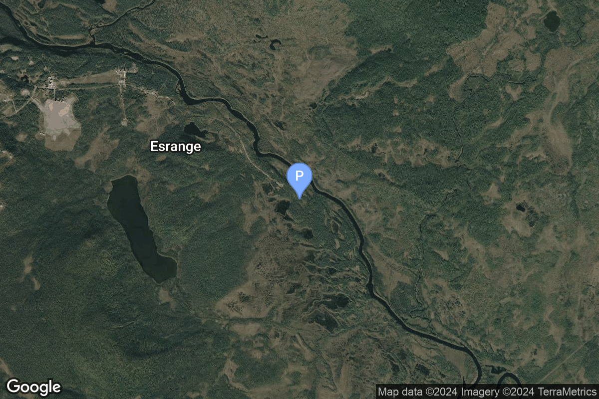
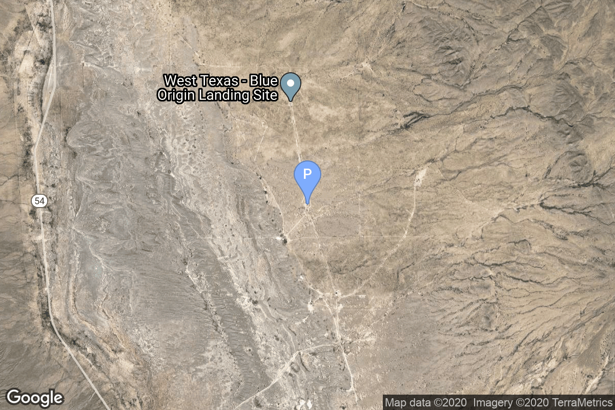
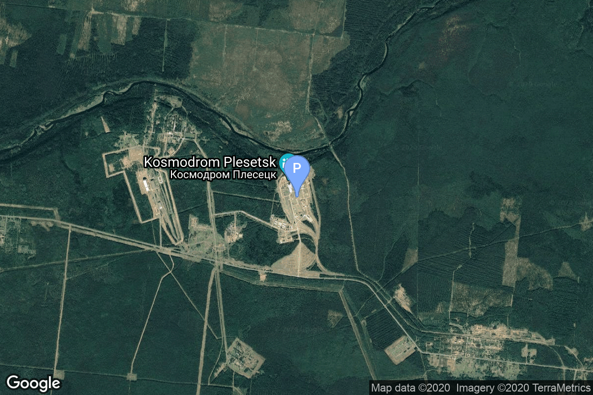
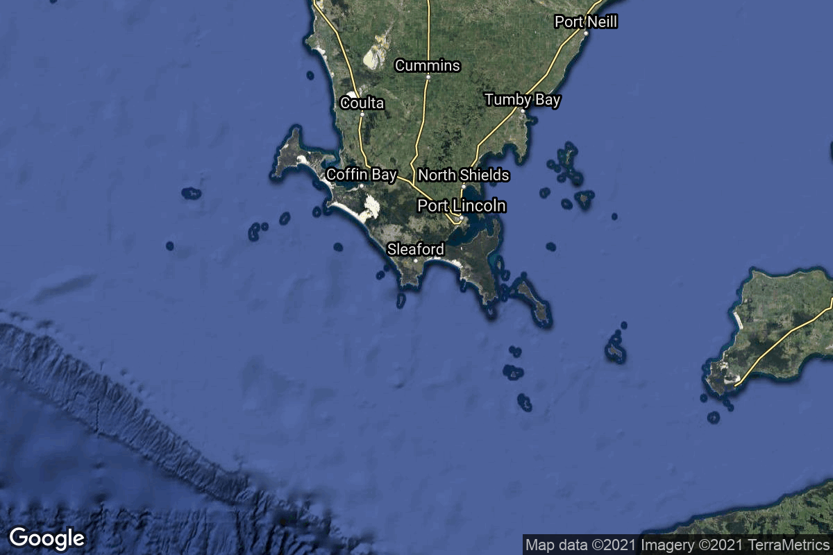
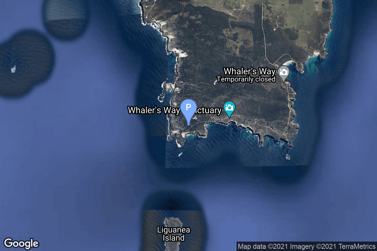
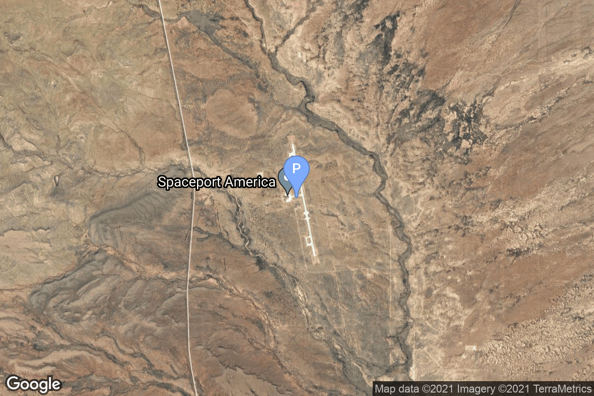
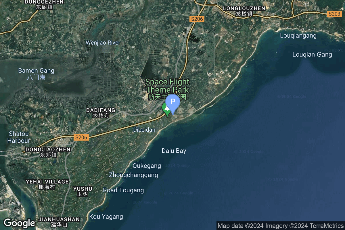
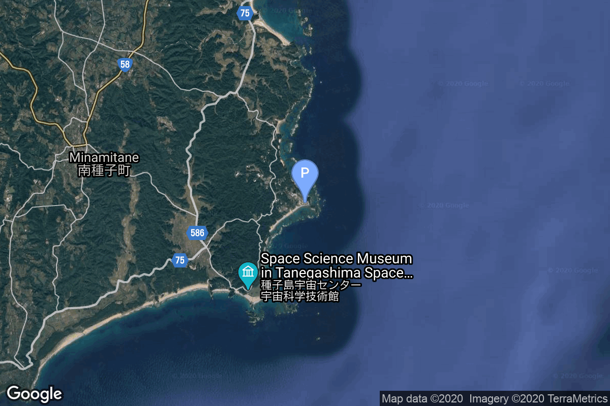
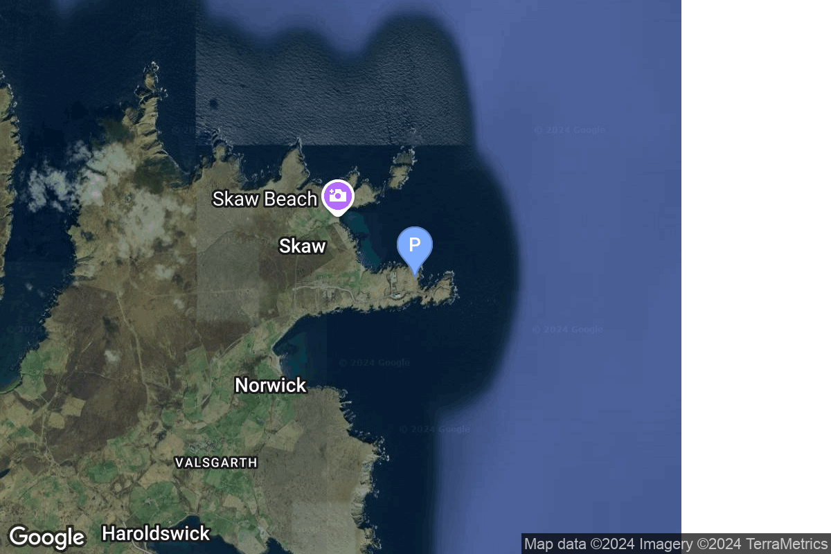
{ "count": 220, "next": "https://lldev.thespacedevs.com/2.2.0/pad/?format=api&limit=10&offset=20&ordering=orbital_launch_attempt_count", "previous": "https://lldev.thespacedevs.com/2.2.0/pad/?format=api&limit=10&ordering=orbital_launch_attempt_count", "results": [ { "id": 236, "url": "https://lldev.thespacedevs.com/2.2.0/pad/236/?format=api", "agency_id": null, "name": "Launch Complex 3C", "description": "Launch complex for the United States launch service provider Firefly Aerospace's Alpha launch vehicle at Esrange.", "info_url": null, "wiki_url": "https://en.wikipedia.org/wiki/Esrange#Satellite_launch_capability", "map_url": "https://www.google.com/maps?q=67.876724,21.166866", "latitude": "67.876724", "longitude": "21.166866", "location": { "id": 178, "url": "https://lldev.thespacedevs.com/2.2.0/location/178/?format=api", "name": "Esrange Space Center", "country_code": "SWE", "description": "Esrange Space Center is a rocket range and research centre located about 40 kilometers east of the town of Kiruna in northern Sweden. It is a base for scientific research with high-altitude balloons, investigation of the aurora borealis, sounding rocket launches, and satellite tracking. Built in 1964 by ESRO, one of the predecessors of the European Space Agency, the site is currently operated by the Swedish Space Corporation. An orbital launch complex, LC-3, has been built in the early 2020s.", "map_image": "https://thespacedevs-prod.nyc3.digitaloceanspaces.com/media/map_images/location_esrange_space_center_20241208021356.jpg", "timezone_name": "Europe/Stockholm", "total_launch_count": 0, "total_landing_count": 0 }, "country_code": "SWE", "map_image": "https://thespacedevs-prod.nyc3.digitaloceanspaces.com/media/map_images/pad_launch_complex_3c_20241208021831.jpg", "total_launch_count": 0, "orbital_launch_attempt_count": 0 }, { "id": 90, "url": "https://lldev.thespacedevs.com/2.2.0/pad/90/?format=api", "agency_id": 141, "name": "West Texas Suborbital Launch Site/ Corn Ranch", "description": null, "info_url": "https://www.blueorigin.com", "wiki_url": "https://en.wikipedia.org/wiki/Corn_Ranch", "map_url": "https://www.google.com/maps?q=31.422878000000000,-104.757121000000000", "latitude": "31.422878", "longitude": "-104.757121", "location": { "id": 29, "url": "https://lldev.thespacedevs.com/2.2.0/location/29/?format=api", "name": "Corn Ranch, Van Horn, TX, USA", "country_code": "USA", "description": "Corn Ranch, commonly referred to as Launch Site One (LSO), is a spaceport owned and operated by Blue Origin which is located approximately 30 miles north of the town of Van Horn, Texas, United States.", "map_image": "https://thespacedevs-prod.nyc3.digitaloceanspaces.com/media/map_images/location_29_20200803142436.jpg", "timezone_name": "America/Chicago", "total_launch_count": 32, "total_landing_count": 32 }, "country_code": "USA", "map_image": "https://thespacedevs-prod.nyc3.digitaloceanspaces.com/media/map_images/pad_90_20200803143233.jpg", "total_launch_count": 32, "orbital_launch_attempt_count": 0 }, { "id": 48, "url": "https://lldev.thespacedevs.com/2.2.0/pad/48/?format=api", "agency_id": 163, "name": "Unknown Pad", "description": null, "info_url": null, "wiki_url": "https://en.wikipedia.org/wiki/Plesetsk_Cosmodrome", "map_url": "https://www.google.com/maps?q=62.925556,40.577778", "latitude": "62.925556", "longitude": "40.577778", "location": { "id": 6, "url": "https://lldev.thespacedevs.com/2.2.0/location/6/?format=api", "name": "Plesetsk Cosmodrome, Russian Federation", "country_code": "RUS", "description": "Plesetsk Cosmodrome is a Russian spaceport located in Mirny, Arkhangelsk Oblast, about 800 km north of Moscow and approximately 200 km south of Arkhangelsk. Originally developed as an ICBM site for the R-7 missile, it also served for numerous satellite launches using the R-7 and other rockets. Its high latitude makes it useful only for certain types of launches, especially the Molniya orbits, so for much of the site's history it functioned as a secondary location, with most orbital launches taking place from Baikonur, in the Kazakh SSR. With the end of the Soviet Union, Baikonur became a foreign territory, and Kazakhstan charged $115 million usage fees annually. Consequently, Plesetsk has seen considerably more activity since the 2000s.", "map_image": "https://thespacedevs-prod.nyc3.digitaloceanspaces.com/media/map_images/location_6_20200803142434.jpg", "timezone_name": "Europe/Moscow", "total_launch_count": 1676, "total_landing_count": 0 }, "country_code": "RUS", "map_image": "https://thespacedevs-prod.nyc3.digitaloceanspaces.com/media/map_images/pad_48_20200803143459.jpg", "total_launch_count": 0, "orbital_launch_attempt_count": 0 }, { "id": 197, "url": "https://lldev.thespacedevs.com/2.2.0/pad/197/?format=api", "agency_id": 1028, "name": "Pad 1", "description": null, "info_url": "https://www.southernlaunch.space/whalers-way-orbital-launch-complex", "wiki_url": "https://en.wikipedia.org/wiki/Whalers_Way_Orbital_Launch_Complex", "map_url": "https://www.google.com/maps?q=-34.937822,135.630035", "latitude": "-34.937822", "longitude": "135.630035", "location": { "id": 156, "url": "https://lldev.thespacedevs.com/2.2.0/location/156/?format=api", "name": "Whalers Way Orbital Launch Complex, South Australia", "country_code": "AUS", "description": "Whalers Way Orbital Launch Complex is a rocket-launching facility operated by Southern Launch at Whalers Way, in the locality of Sleaford near Port Lincoln on South Australia's Eyre Peninsula.", "map_image": "https://thespacedevs-prod.nyc3.digitaloceanspaces.com/media/map_images/location_whalers_way_orbital_launch_complex_20210910042508.jpg", "timezone_name": "Australia/Adelaide", "total_launch_count": 1, "total_landing_count": 0 }, "country_code": "AUS", "map_image": "https://thespacedevs-prod.nyc3.digitaloceanspaces.com/media/map_images/pad_whalers_way_orbital_launch_complex_20210910042853.jpg", "total_launch_count": 1, "orbital_launch_attempt_count": 0 }, { "id": 210, "url": "https://lldev.thespacedevs.com/2.2.0/pad/210/?format=api", "agency_id": null, "name": "Unknown Pad", "description": null, "info_url": null, "wiki_url": null, "map_url": null, "latitude": "-39.260881", "longitude": "177.865826", "location": { "id": 10, "url": "https://lldev.thespacedevs.com/2.2.0/location/10/?format=api", "name": "Rocket Lab Launch Complex 1, Mahia Peninsula, New Zealand", "country_code": "NZL", "description": "Rocket Lab Launch Complex 1 is a commercial spaceport located close to Ahuriri Point at the southern tip of Māhia Peninsula, on the east coast of New Zealand's North Island. It is owned and operated by private spaceflight company Rocket Lab and supports launches of the company's Electron rocket for small satellites. With the launch of Electron on 25 May 2017, it became the first private spaceport to host an orbital launch attempt, and the first site in New Zealand to host an orbital launch attempt. With the Electron launch of 21 January 2018, it became the first private spaceport to host a successful orbital launch.", "map_image": "https://thespacedevs-prod.nyc3.digitaloceanspaces.com/media/map_images/location_10_20200803142509.jpg", "timezone_name": "Pacific/Auckland", "total_launch_count": 60, "total_landing_count": 17 }, "country_code": "NZL", "map_image": "https://thespacedevs-prod.nyc3.digitaloceanspaces.com/media/map_images/pad_210_20230819165718.jpg", "total_launch_count": 0, "orbital_launch_attempt_count": 0 }, { "id": 30, "url": "https://lldev.thespacedevs.com/2.2.0/pad/30/?format=api", "agency_id": null, "name": "Launch Complex 48", "description": null, "info_url": null, "wiki_url": "https://en.wikipedia.org/wiki/Kennedy_Space_Center_Launch_Complex_48", "map_url": "https://www.google.com/maps?q=28.5990626125553,-80.60428186", "latitude": "28.5990626125553", "longitude": "-80.60428186", "location": { "id": 27, "url": "https://lldev.thespacedevs.com/2.2.0/location/27/?format=api", "name": "Kennedy Space Center, FL, USA", "country_code": "USA", "description": "The John F. Kennedy Space Center, located on Merritt Island, Florida, is one of NASA's ten field centers. Since 1968, KSC has been NASA's primary launch center of American spaceflight, research, and technology. Launch operations for the Apollo, Skylab and Space Shuttle programs were carried out from Kennedy Space Center Launch Complex 39 and managed by KSC. Located on the east coast of Florida, KSC is adjacent to Cape Canaveral Space Force Station (CCSFS).", "map_image": "https://thespacedevs-prod.nyc3.digitaloceanspaces.com/media/map_images/location_27_20200803142447.jpg", "timezone_name": "America/New_York", "total_launch_count": 266, "total_landing_count": 0 }, "country_code": "USA", "map_image": "https://thespacedevs-prod.nyc3.digitaloceanspaces.com/media/map_images/pad_30_20200803143320.jpg", "total_launch_count": 0, "orbital_launch_attempt_count": 0 }, { "id": 191, "url": "https://lldev.thespacedevs.com/2.2.0/pad/191/?format=api", "agency_id": 1024, "name": "Spaceport America", "description": null, "info_url": "https://www.spaceportamerica.com/", "wiki_url": "https://en.wikipedia.org/wiki/Spaceport_America", "map_url": "https://www.google.com/maps?q=32.9902778,-106.9719162", "latitude": "32.9902778", "longitude": "-106.9719162", "location": { "id": 144, "url": "https://lldev.thespacedevs.com/2.2.0/location/144/?format=api", "name": "Air launch to Suborbital flight", "country_code": "???", "description": "", "map_image": "https://thespacedevs-prod.nyc3.digitaloceanspaces.com/media/map_images/location_144_20200803142439.jpg", "timezone_name": "", "total_launch_count": 86, "total_landing_count": 0 }, "country_code": "USA", "map_image": "https://thespacedevs-prod.nyc3.digitaloceanspaces.com/media/map_images/pad_spaceport_america_20210522162030.jpg", "total_launch_count": 14, "orbital_launch_attempt_count": 0 }, { "id": 222, "url": "https://lldev.thespacedevs.com/2.2.0/pad/222/?format=api", "agency_id": null, "name": "Commercial LC-3", "description": "", "info_url": null, "wiki_url": "https://en.wikipedia.org/wiki/Wenchang_Commercial_Space_Launch_Site", "map_url": "https://www.google.com/maps?q=19.5945793,110.9260013", "latitude": "19.5945793", "longitude": "110.9260013", "location": { "id": 8, "url": "https://lldev.thespacedevs.com/2.2.0/location/8/?format=api", "name": "Wenchang Space Launch Site, People's Republic of China", "country_code": "CHN", "description": "The Wenchang Space Launch Site is a rocket launch site located in Wenchang on the island of Hainan, in China.\r\n\r\nFormally a suborbital test center, it currently serves as China's southernmost spaceport. The site was selected for its low latitude, 19° north of the equator, allowing for larger payloads to be launched. It is capable of launching the Long March 5, the heaviest Chinese rocket. Unlike launch facilities on the mainland, Wenchang uses its seaport for deliveries.", "map_image": "https://thespacedevs-prod.nyc3.digitaloceanspaces.com/media/map_images/location_8_20200803142445.jpg", "timezone_name": "Asia/Shanghai", "total_launch_count": 39, "total_landing_count": 0 }, "country_code": "CHN", "map_image": "https://thespacedevs-prod.nyc3.digitaloceanspaces.com/media/map_images/pad_commercial_lc-3_20240627115237.jpg", "total_launch_count": 0, "orbital_launch_attempt_count": 0 }, { "id": 69, "url": "https://lldev.thespacedevs.com/2.2.0/pad/69/?format=api", "agency_id": null, "name": "Unknown Pad", "description": null, "info_url": null, "wiki_url": "", "map_url": "https://www.google.com/maps?q=30.401,130.977", "latitude": "30.401", "longitude": "130.977", "location": { "id": 26, "url": "https://lldev.thespacedevs.com/2.2.0/location/26/?format=api", "name": "Tanegashima Space Center, Japan", "country_code": "JPN", "description": "The Tanegashima Space Center is the largest rocket-launch complex in Japan. It is located on the southeastern tip of Tanegashima, an island located south of Kyushu, an island and region and Japan. It was established in 1969 when the National Space Development Agency of Japan (NASDA) was formed, and is now run by JAXA. The activities that take place at TNSC include assembly, testing, launching, and tracking satellites, as well as rocket engine firing tests.", "map_image": "https://thespacedevs-prod.nyc3.digitaloceanspaces.com/media/map_images/location_26_20200803142507.jpg", "timezone_name": "Asia/Tokyo", "total_launch_count": 94, "total_landing_count": 0 }, "country_code": "JPN", "map_image": "https://thespacedevs-prod.nyc3.digitaloceanspaces.com/media/map_images/pad_69_20200803143529.jpg", "total_launch_count": 0, "orbital_launch_attempt_count": 0 }, { "id": 237, "url": "https://lldev.thespacedevs.com/2.2.0/pad/237/?format=api", "agency_id": null, "name": "Unknown Pad", "description": "", "info_url": null, "wiki_url": "https://en.wikipedia.org/wiki/SaxaVord_Spaceport", "map_url": "https://www.google.com/maps?q=60.8184,-0.7692", "latitude": "60.8184", "longitude": "-0.7692", "location": { "id": 157, "url": "https://lldev.thespacedevs.com/2.2.0/location/157/?format=api", "name": "SaxaVord Spaceport", "country_code": "GBR", "description": "SaxaVord Spaceport is a UK spaceport located on the Lamba Ness peninsula on Unst, the most northerly of the inhabited Shetland Islands off the coast of Scotland. The site is near the RAF Saxa Vord radar station and the settlement of Skaw, adjacent to the Saxa Vord distillery.", "map_image": "https://thespacedevs-prod.nyc3.digitaloceanspaces.com/media/map_images/location_saxavord_spaceport_20211102161146.jpg", "timezone_name": "Europe/London", "total_launch_count": 0, "total_landing_count": 0 }, "country_code": "GBR", "map_image": "https://thespacedevs-prod.nyc3.digitaloceanspaces.com/media/map_images/pad_unknown_pad_20241227075133.jpg", "total_launch_count": 0, "orbital_launch_attempt_count": 0 } ] }