Upcoming Launch List
API endpoint that returns future Launch objects and launches from the last twenty four hours.
GET: Return a list of future Launches
FILTERS: Fields - 'name', 'id(s)', 'lsp_id', 'lsp_name', 'launcher_config__id',
MODE: 'normal', 'list', 'detailed' EXAMPLE: ?mode=list
SEARCH: Searches through the launch name, rocket name, launch agency and mission name. EXAMPLE - ?search=SpaceX
GET /2.0.0/launch/upcoming/?format=api&offset=70&ordering=-id
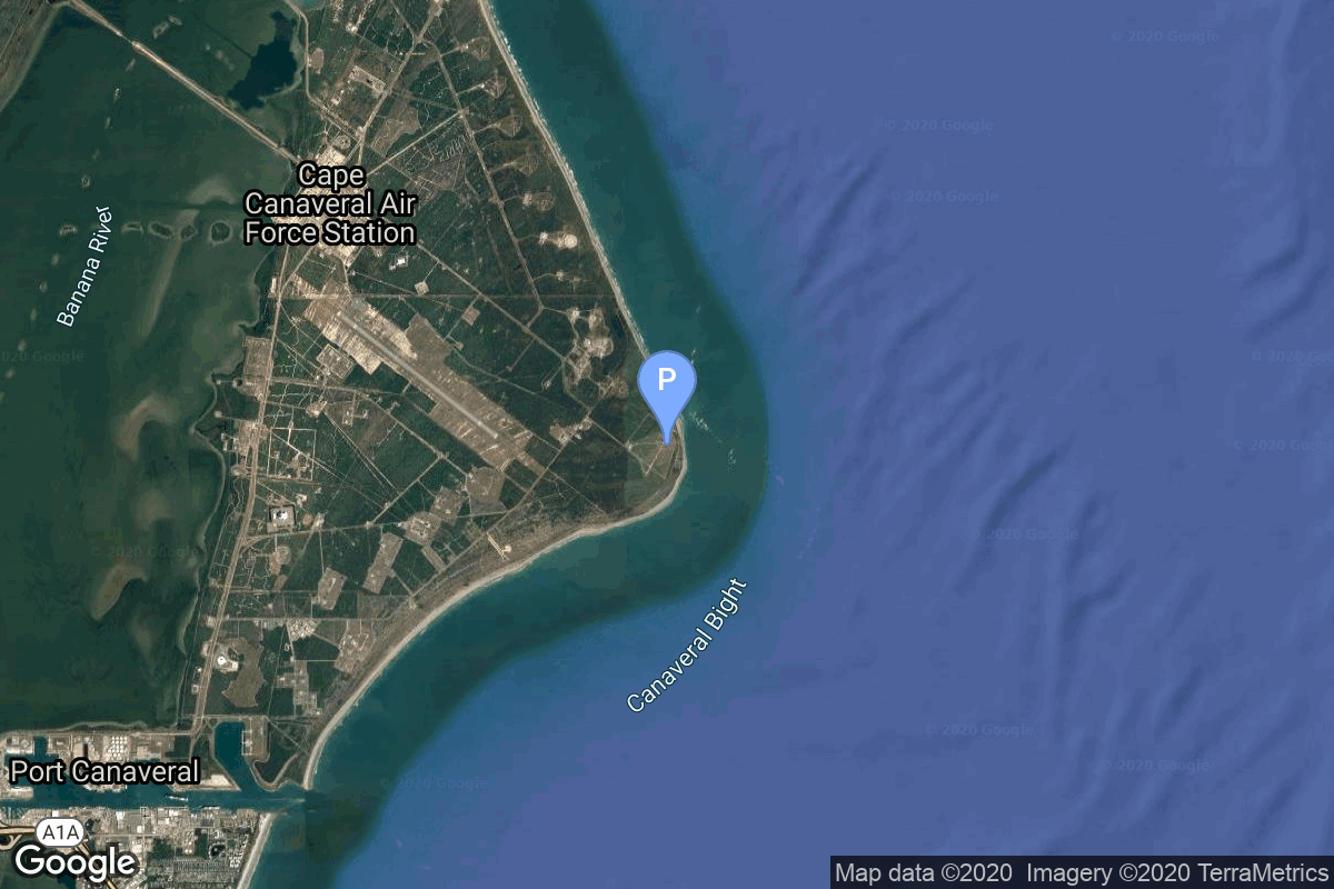
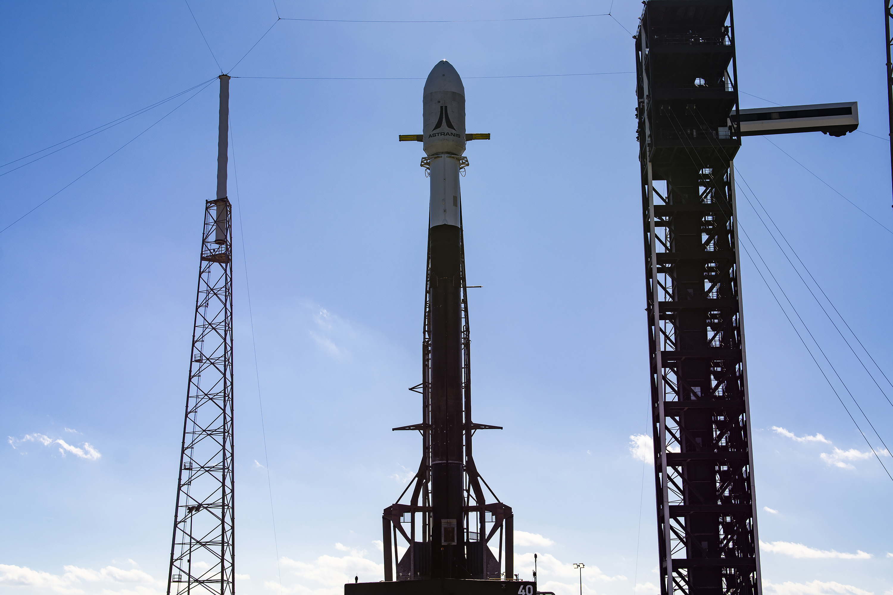
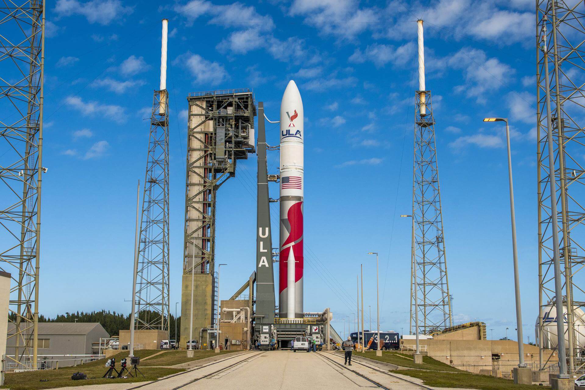
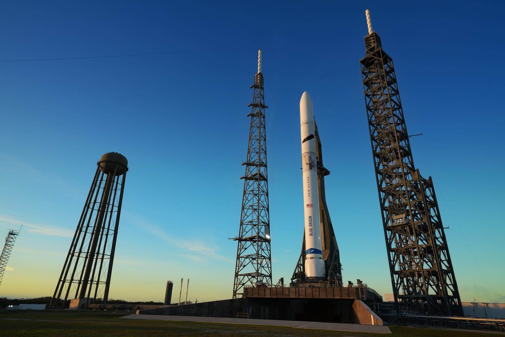
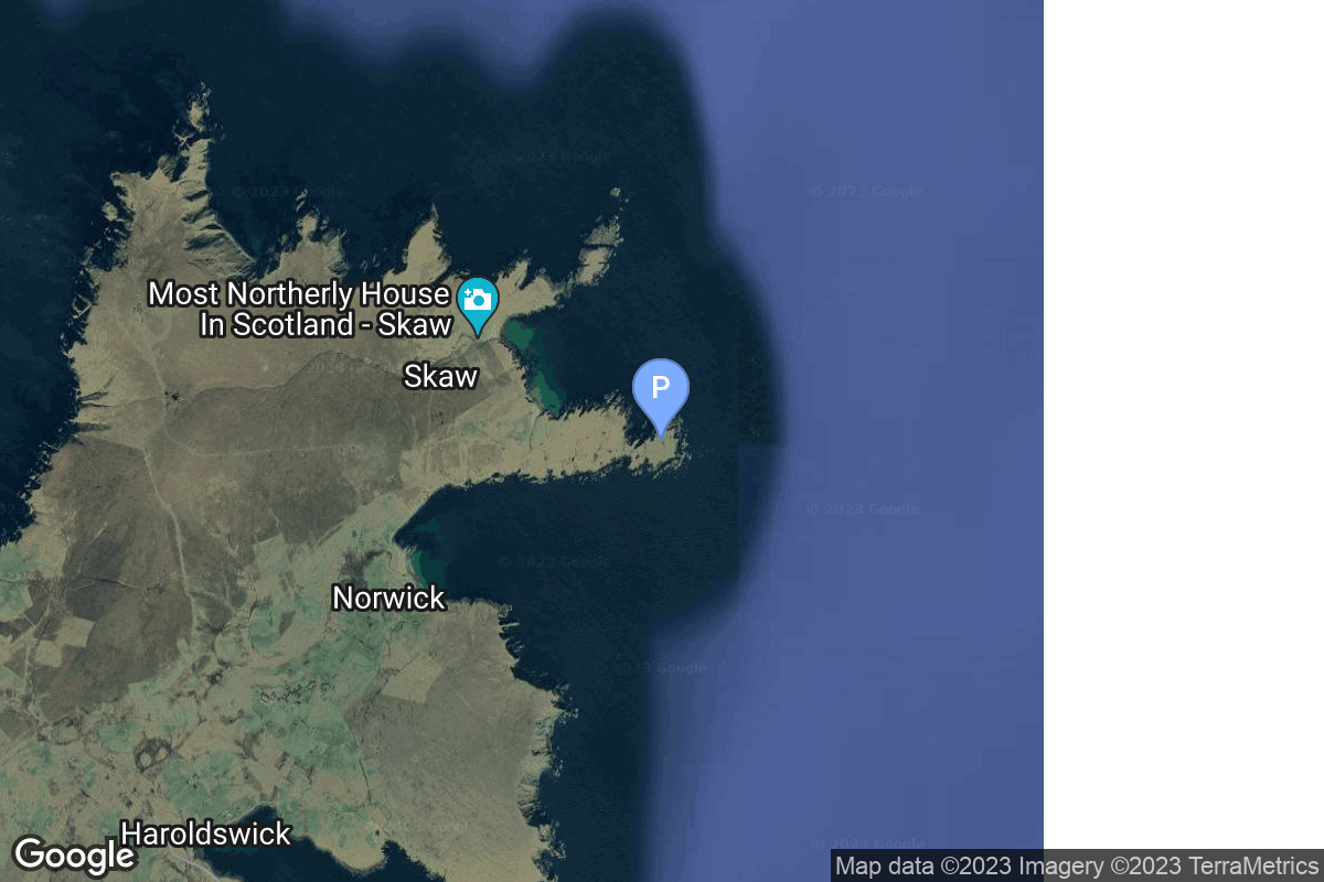
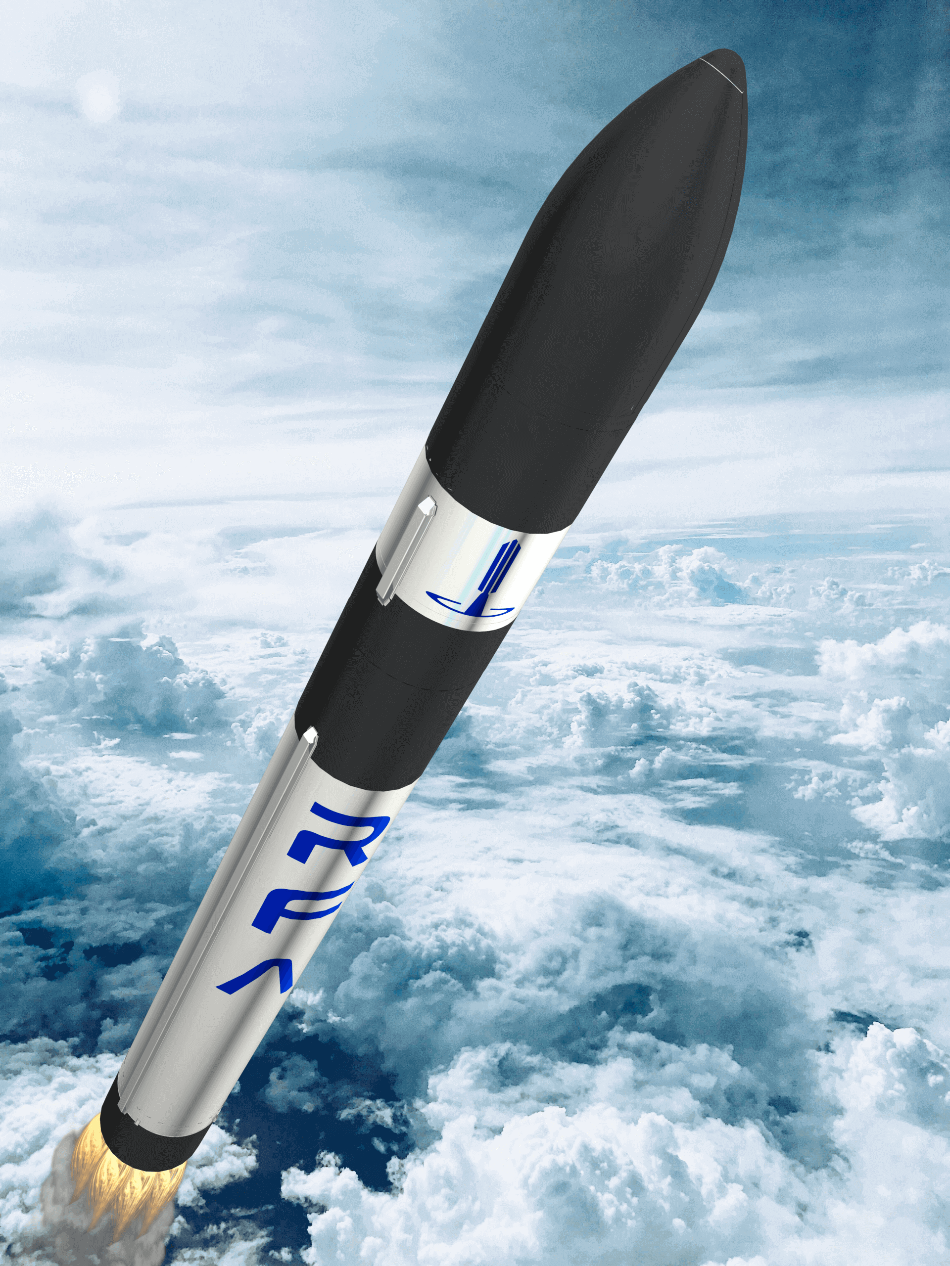
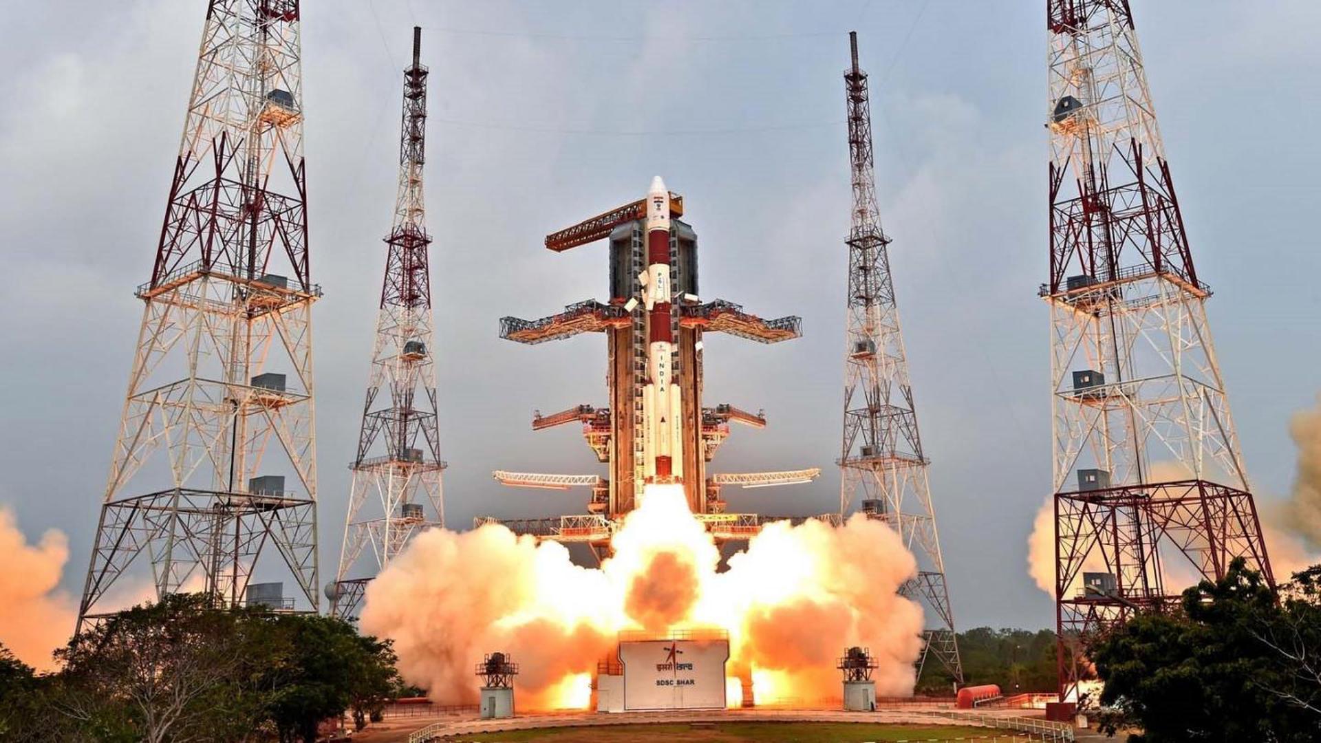
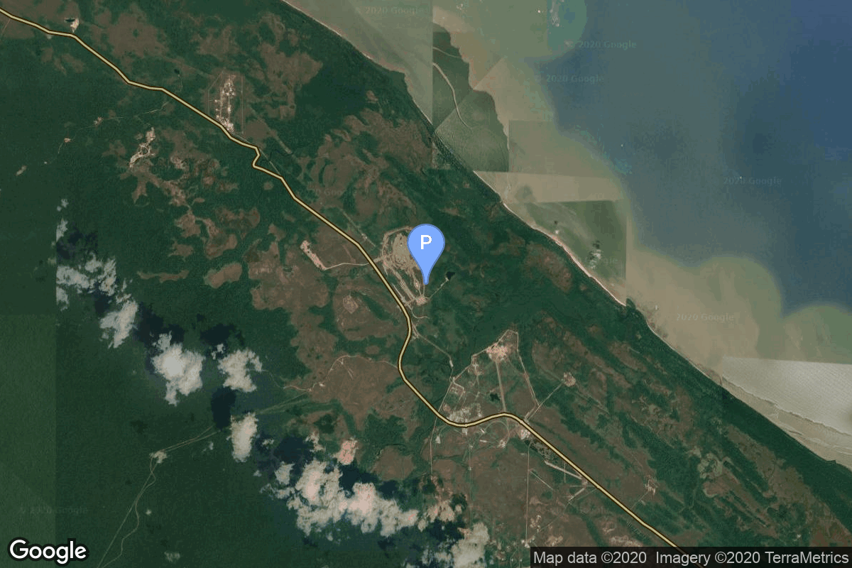
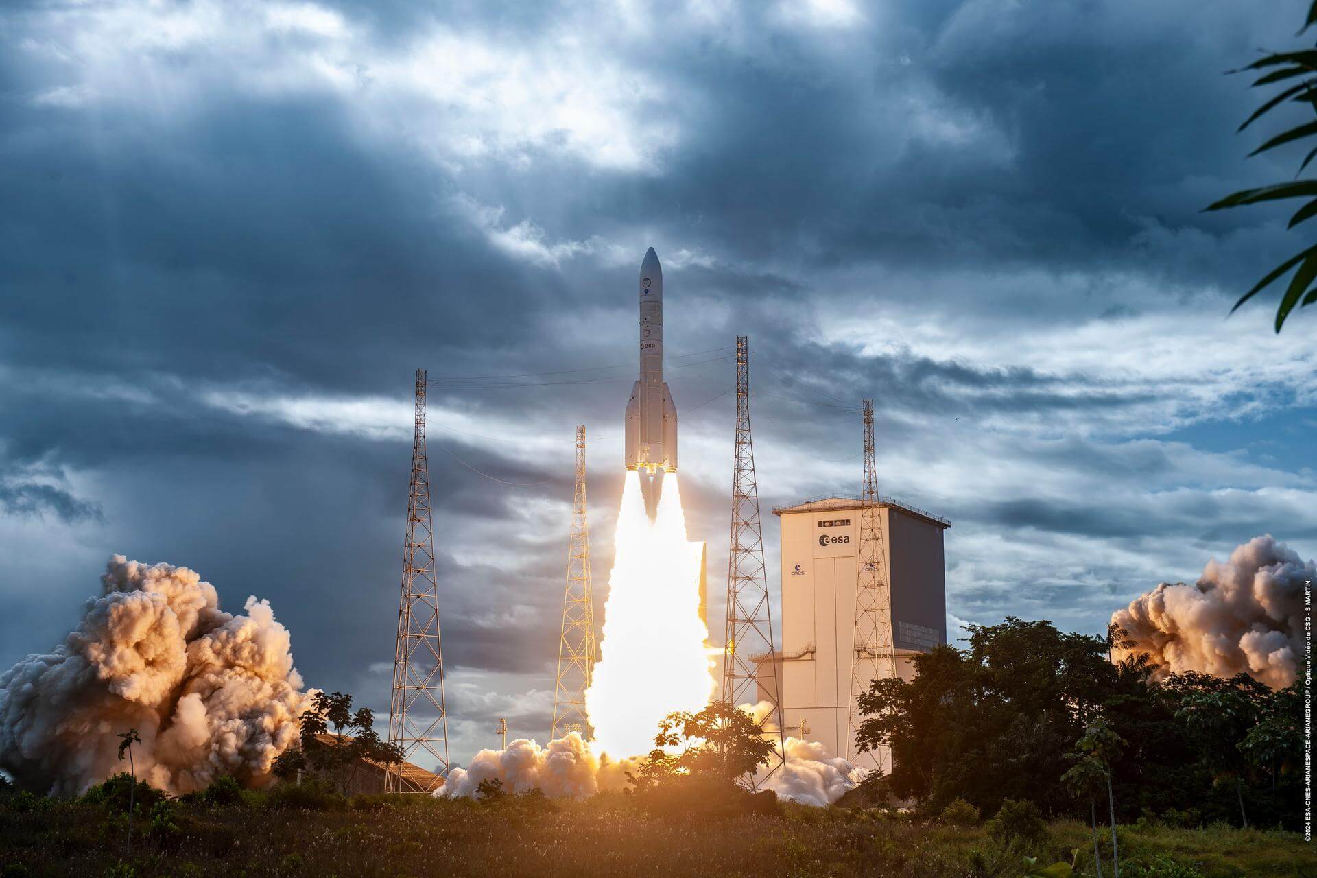
{ "count": 175, "next": "https://lldev.thespacedevs.com/2.0.0/launch/upcoming/?format=api&limit=10&offset=80&ordering=-id", "previous": "https://lldev.thespacedevs.com/2.0.0/launch/upcoming/?format=api&limit=10&offset=60&ordering=-id", "results": [ { "id": "9bfa0324-db74-444f-8dc3-1c7d373ca659", "url": "https://lldev.thespacedevs.com/2.0.0/launch/9bfa0324-db74-444f-8dc3-1c7d373ca659/?format=api", "launch_library_id": null, "slug": "falcon-9-block-5-5x-astranis-microgeo", "name": "Falcon 9 Block 5 | 5x Astranis MicroGEO", "status": { "id": 2, "name": "TBD" }, "net": "2025-12-31T00:00:00Z", "window_end": "2025-12-31T00:00:00Z", "window_start": "2025-12-31T00:00:00Z", "inhold": false, "tbdtime": true, "tbddate": true, "probability": null, "holdreason": "", "failreason": "", "hashtag": null, "launch_service_provider": { "id": 121, "url": "https://lldev.thespacedevs.com/2.0.0/agencies/121/?format=api", "name": "SpaceX", "type": "Commercial" }, "rocket": { "id": 8506, "configuration": { "id": 164, "launch_library_id": 188, "url": "https://lldev.thespacedevs.com/2.0.0/config/launcher/164/?format=api", "name": "Falcon 9", "family": "Falcon", "full_name": "Falcon 9 Block 5", "variant": "Block 5" } }, "mission": { "id": 7095, "launch_library_id": null, "name": "5x Astranis MicroGEO", "description": "Five Astranis MicroGEO communications satellite to be inserted in a custom geostationary orbit, from where they conduct on-orbit maneuvers to reach their individual slots.\r\n\r\nThe 5 satellites include:\r\n\r\n* Apco 1 & Apco 2 (Mexico)\r\n\r\n* Thaicom-9 (Thailand)\r\n\r\n* 1x for Orbith (Argentina)\r\n\r\n* 1x for Orbits Corp (Philippines)", "launch_designator": null, "type": "Communications", "orbit": { "id": 2, "name": "Geostationary Transfer Orbit", "abbrev": "GTO" } }, "pad": { "id": 72, "url": "https://lldev.thespacedevs.com/2.0.0/pad/72/?format=api", "agency_id": null, "name": "Unknown Pad", "info_url": null, "wiki_url": "", "map_url": "https://www.google.com/maps?q=28.458,-80.528", "latitude": "28.458", "longitude": "-80.528", "location": { "id": 12, "url": "https://lldev.thespacedevs.com/2.0.0/location/12/?format=api", "name": "Cape Canaveral SFS, FL, USA", "country_code": "USA", "map_image": "https://thespacedevs-prod.nyc3.digitaloceanspaces.com/media/map_images/location_12_20200803142519.jpg", "total_launch_count": 1023, "total_landing_count": 64 }, "map_image": "https://thespacedevs-prod.nyc3.digitaloceanspaces.com/media/map_images/pad_72_20200803143403.jpg", "total_launch_count": 0 }, "webcast_live": false, "image": "https://thespacedevs-prod.nyc3.digitaloceanspaces.com/media/images/falcon_9_on_slc_image_20241221043403.jpg", "infographic": null, "program": [] }, { "id": "98f70f28-397a-4c0d-aeb2-e7f8a88e0323", "url": "https://lldev.thespacedevs.com/2.0.0/launch/98f70f28-397a-4c0d-aeb2-e7f8a88e0323/?format=api", "launch_library_id": null, "slug": "vulcan-gps-iii-sv09", "name": "Vulcan | GPS III SV09", "status": { "id": 2, "name": "TBD" }, "net": "2025-12-31T00:00:00Z", "window_end": "2025-12-31T00:00:00Z", "window_start": "2025-12-31T00:00:00Z", "inhold": false, "tbdtime": true, "tbddate": true, "probability": null, "holdreason": "", "failreason": "", "hashtag": null, "launch_service_provider": { "id": 124, "url": "https://lldev.thespacedevs.com/2.0.0/agencies/124/?format=api", "name": "United Launch Alliance", "type": "Commercial" }, "rocket": { "id": 7899, "configuration": { "id": 200, "launch_library_id": 226, "url": "https://lldev.thespacedevs.com/2.0.0/config/launcher/200/?format=api", "name": "Vulcan", "family": "Vulcan", "full_name": "Vulcan", "variant": "Vulcan" } }, "mission": { "id": 6408, "launch_library_id": null, "name": "GPS III SV09", "description": "Ninth of ten GPS III missions.", "launch_designator": null, "type": "Navigation", "orbit": { "id": 12, "name": "Medium Earth Orbit", "abbrev": "MEO" } }, "pad": { "id": 29, "url": "https://lldev.thespacedevs.com/2.0.0/pad/29/?format=api", "agency_id": null, "name": "Space Launch Complex 41", "info_url": null, "wiki_url": "https://en.wikipedia.org/wiki/Cape_Canaveral_Air_Force_Station_Space_Launch_Complex_41", "map_url": "https://www.google.com/maps?q=28.58341025,-80.58303644", "latitude": "28.58341025", "longitude": "-80.58303644", "location": { "id": 12, "url": "https://lldev.thespacedevs.com/2.0.0/location/12/?format=api", "name": "Cape Canaveral SFS, FL, USA", "country_code": "USA", "map_image": "https://thespacedevs-prod.nyc3.digitaloceanspaces.com/media/map_images/location_12_20200803142519.jpg", "total_launch_count": 1023, "total_landing_count": 64 }, "map_image": "https://thespacedevs-prod.nyc3.digitaloceanspaces.com/media/map_images/pad_29_20200803143528.jpg", "total_launch_count": 115 }, "webcast_live": false, "image": "https://thespacedevs-prod.nyc3.digitaloceanspaces.com/media/images/vulcan_image_20240107162928.jpeg", "infographic": null, "program": [ { "id": 29, "url": "https://lldev.thespacedevs.com/2.0.0/program/29/?format=api", "name": "Global Positioning System", "description": "The Global Positioning System (GPS), originally Navstar GPS, is a satellite-based radio navigation system owned by the United States government and operated by the United States Space Force. It is one of the global navigation satellite systems (GNSS) that provide geolocation and time information to a GPS receiver anywhere on or near the Earth where there is an unobstructed line of sight to four or more GPS satellites.", "agencies": [ { "id": 1041, "url": "https://lldev.thespacedevs.com/2.0.0/agencies/1041/?format=api", "name": "United States Space Force", "type": "Government" } ], "image_url": "https://thespacedevs-prod.nyc3.digitaloceanspaces.com/media/images/global2520posi_program_20231229182501.png", "start_date": "1978-02-22T00:00:00Z", "end_date": null, "info_url": "https://www.gps.gov/", "wiki_url": "https://en.wikipedia.org/wiki/Global_Positioning_System" } ] }, { "id": "98ec4234-8c4e-4365-b6c5-6b89da53f8dd", "url": "https://lldev.thespacedevs.com/2.0.0/launch/98ec4234-8c4e-4365-b6c5-6b89da53f8dd/?format=api", "launch_library_id": null, "slug": "new-glenn-blue-moon-pathfinder", "name": "New Glenn | Blue Moon Pathfinder", "status": { "id": 2, "name": "TBD" }, "net": "2025-08-31T00:00:00Z", "window_end": "2025-08-31T00:00:00Z", "window_start": "2025-08-31T00:00:00Z", "inhold": false, "tbdtime": true, "tbddate": true, "probability": null, "holdreason": "", "failreason": "", "hashtag": null, "launch_service_provider": { "id": 141, "url": "https://lldev.thespacedevs.com/2.0.0/agencies/141/?format=api", "name": "Blue Origin", "type": "Commercial" }, "rocket": { "id": 8290, "configuration": { "id": 138, "launch_library_id": 1001, "url": "https://lldev.thespacedevs.com/2.0.0/config/launcher/138/?format=api", "name": "New Glenn", "family": "", "full_name": "New Glenn", "variant": "" } }, "mission": { "id": 6871, "launch_library_id": null, "name": "Blue Moon Pathfinder", "description": "First flight of Blue Origin's Blue Moon MK1 lunar lander.", "launch_designator": null, "type": "Robotic Exploration", "orbit": { "id": 8, "name": "Low Earth Orbit", "abbrev": "LEO" } }, "pad": { "id": 121, "url": "https://lldev.thespacedevs.com/2.0.0/pad/121/?format=api", "agency_id": 161, "name": "Launch Complex 36A", "info_url": null, "wiki_url": "https://en.wikipedia.org/wiki/Cape_Canaveral_Launch_Complex_36", "map_url": "https://www.google.com/maps?q=28.4705556,-80.542194", "latitude": "28.4705556", "longitude": "-80.542194", "location": { "id": 12, "url": "https://lldev.thespacedevs.com/2.0.0/location/12/?format=api", "name": "Cape Canaveral SFS, FL, USA", "country_code": "USA", "map_image": "https://thespacedevs-prod.nyc3.digitaloceanspaces.com/media/map_images/location_12_20200803142519.jpg", "total_launch_count": 1023, "total_landing_count": 64 }, "map_image": "https://thespacedevs-prod.nyc3.digitaloceanspaces.com/media/map_images/pad_121_20200803143231.jpg", "total_launch_count": 69 }, "webcast_live": false, "image": "https://thespacedevs-prod.nyc3.digitaloceanspaces.com/media/images/new_glenn_on_lc_image_20240313170026.jpeg", "infographic": null, "program": [] }, { "id": "96f437cb-83c1-414b-8e32-d0e1bd6c265b", "url": "https://lldev.thespacedevs.com/2.0.0/launch/96f437cb-83c1-414b-8e32-d0e1bd6c265b/?format=api", "launch_library_id": null, "slug": "electron-blacksky-gen-3-2", "name": "Electron | BlackSky Gen-3 2", "status": { "id": 2, "name": "TBD" }, "net": "2025-06-30T00:00:00Z", "window_end": "2025-06-30T00:00:00Z", "window_start": "2025-06-30T00:00:00Z", "inhold": false, "tbdtime": true, "tbddate": true, "probability": null, "holdreason": "", "failreason": "", "hashtag": null, "launch_service_provider": { "id": 147, "url": "https://lldev.thespacedevs.com/2.0.0/agencies/147/?format=api", "name": "Rocket Lab", "type": "Commercial" }, "rocket": { "id": 7979, "configuration": { "id": 26, "launch_library_id": 148, "url": "https://lldev.thespacedevs.com/2.0.0/config/launcher/26/?format=api", "name": "Electron", "family": "", "full_name": "Electron", "variant": "" } }, "mission": { "id": 6502, "launch_library_id": null, "name": "BlackSky Gen-3 2", "description": "BlackSky Gen-3 Earth-imaging satellites", "launch_designator": null, "type": "Earth Science", "orbit": { "id": 8, "name": "Low Earth Orbit", "abbrev": "LEO" } }, "pad": { "id": 210, "url": "https://lldev.thespacedevs.com/2.0.0/pad/210/?format=api", "agency_id": null, "name": "Unknown Pad", "info_url": null, "wiki_url": null, "map_url": null, "latitude": "-39.260881", "longitude": "177.865826", "location": { "id": 10, "url": "https://lldev.thespacedevs.com/2.0.0/location/10/?format=api", "name": "Rocket Lab Launch Complex 1, Mahia Peninsula, New Zealand", "country_code": "NZL", "map_image": "https://thespacedevs-prod.nyc3.digitaloceanspaces.com/media/map_images/location_10_20200803142509.jpg", "total_launch_count": 58, "total_landing_count": 17 }, "map_image": "https://thespacedevs-prod.nyc3.digitaloceanspaces.com/media/map_images/pad_210_20230819165718.jpg", "total_launch_count": 0 }, "webcast_live": false, "image": "https://thespacedevs-prod.nyc3.digitaloceanspaces.com/media/images/electron_image_20190705175640.jpeg", "infographic": null, "program": [] }, { "id": "9642cfef-4687-495a-af2e-2ac81fa1e12a", "url": "https://lldev.thespacedevs.com/2.0.0/launch/9642cfef-4687-495a-af2e-2ac81fa1e12a/?format=api", "launch_library_id": null, "slug": "falcon-9-block-5-kompsat-7a", "name": "Falcon 9 Block 5 | KOMPSAT-7A", "status": { "id": 2, "name": "TBD" }, "net": "2025-09-30T00:00:00Z", "window_end": "2025-09-30T00:00:00Z", "window_start": "2025-09-30T00:00:00Z", "inhold": false, "tbdtime": true, "tbddate": true, "probability": null, "holdreason": "", "failreason": "", "hashtag": null, "launch_service_provider": { "id": 121, "url": "https://lldev.thespacedevs.com/2.0.0/agencies/121/?format=api", "name": "SpaceX", "type": "Commercial" }, "rocket": { "id": 8208, "configuration": { "id": 164, "launch_library_id": 188, "url": "https://lldev.thespacedevs.com/2.0.0/config/launcher/164/?format=api", "name": "Falcon 9", "family": "Falcon", "full_name": "Falcon 9 Block 5", "variant": "Block 5" } }, "mission": { "id": 6780, "launch_library_id": null, "name": "KOMPSAT-7A", "description": "KOMPSAT-7 and 7A are the follow-up satellites of KOMPSAT-3A, whose mission is to provide high-resolution satellite images to satisfy South-Korea's governmental and institutional needs.", "launch_designator": null, "type": "Earth Science", "orbit": { "id": 17, "name": "Sun-Synchronous Orbit", "abbrev": "SSO" } }, "pad": { "id": 72, "url": "https://lldev.thespacedevs.com/2.0.0/pad/72/?format=api", "agency_id": null, "name": "Unknown Pad", "info_url": null, "wiki_url": "", "map_url": "https://www.google.com/maps?q=28.458,-80.528", "latitude": "28.458", "longitude": "-80.528", "location": { "id": 12, "url": "https://lldev.thespacedevs.com/2.0.0/location/12/?format=api", "name": "Cape Canaveral SFS, FL, USA", "country_code": "USA", "map_image": "https://thespacedevs-prod.nyc3.digitaloceanspaces.com/media/map_images/location_12_20200803142519.jpg", "total_launch_count": 1023, "total_landing_count": 64 }, "map_image": "https://thespacedevs-prod.nyc3.digitaloceanspaces.com/media/map_images/pad_72_20200803143403.jpg", "total_launch_count": 0 }, "webcast_live": false, "image": "https://thespacedevs-prod.nyc3.digitaloceanspaces.com/media/images/falcon_9_image_20230807133459.jpeg", "infographic": null, "program": [] }, { "id": "91f5f940-da5a-44de-a10a-b44c59066285", "url": "https://lldev.thespacedevs.com/2.0.0/launch/91f5f940-da5a-44de-a10a-b44c59066285/?format=api", "launch_library_id": 1096, "slug": "vega-c-korean-multi-purpose-satellite-6-kompsat-6", "name": "Vega-C | Korean Multi-purpose Satellite 6 (KOMPSAT-6)", "status": { "id": 2, "name": "TBD" }, "net": "2025-12-31T00:00:00Z", "window_end": "2025-12-31T00:00:00Z", "window_start": "2025-12-31T00:00:00Z", "inhold": false, "tbdtime": true, "tbddate": true, "probability": null, "holdreason": "", "failreason": "", "hashtag": null, "launch_service_provider": { "id": 115, "url": "https://lldev.thespacedevs.com/2.0.0/agencies/115/?format=api", "name": "Arianespace", "type": "Commercial" }, "rocket": { "id": 127, "configuration": { "id": 127, "launch_library_id": 163, "url": "https://lldev.thespacedevs.com/2.0.0/config/launcher/127/?format=api", "name": "Vega-C", "family": "Vega", "full_name": "Vega-C", "variant": "" } }, "mission": { "id": 6163, "launch_library_id": null, "name": "Korean Multi-purpose Satellite 6 (KOMPSAT-6)", "description": "Sixth South Korean Earth observation satellite of the KOMPSAT series. It is equipped with a synthetic aperture radar with a ground resolution between 0.5 and 20 meters.", "launch_designator": null, "type": "Earth Science", "orbit": { "id": 17, "name": "Sun-Synchronous Orbit", "abbrev": "SSO" } }, "pad": { "id": 34, "url": "https://lldev.thespacedevs.com/2.0.0/pad/34/?format=api", "agency_id": 115, "name": "Ariane Launch Area 1 (ELV)", "info_url": null, "wiki_url": "https://en.wikipedia.org/wiki/ELA-1", "map_url": "https://www.google.com/maps?q=5.236,-52.775", "latitude": "5.236", "longitude": "-52.775", "location": { "id": 13, "url": "https://lldev.thespacedevs.com/2.0.0/location/13/?format=api", "name": "Guiana Space Centre, French Guiana", "country_code": "GUF", "map_image": "https://thespacedevs-prod.nyc3.digitaloceanspaces.com/media/map_images/location_13_20200803142412.jpg", "total_launch_count": 325, "total_landing_count": 0 }, "map_image": "https://thespacedevs-prod.nyc3.digitaloceanspaces.com/media/map_images/pad_34_20200803143527.jpg", "total_launch_count": 52 }, "webcast_live": false, "image": "https://thespacedevs-prod.nyc3.digitaloceanspaces.com/media/images/vega-c_image_20220713154437.jpg", "infographic": null, "program": [] }, { "id": "91b13c6c-4525-496d-997b-3521bb6a4cd8", "url": "https://lldev.thespacedevs.com/2.0.0/launch/91b13c6c-4525-496d-997b-3521bb6a4cd8/?format=api", "launch_library_id": null, "slug": "rfa-one-maiden-flight", "name": "RFA One | Maiden Flight", "status": { "id": 2, "name": "TBD" }, "net": "2025-09-30T00:00:00Z", "window_end": "2025-09-30T00:00:00Z", "window_start": "2025-09-30T00:00:00Z", "inhold": false, "tbdtime": true, "tbddate": true, "probability": null, "holdreason": "", "failreason": "", "hashtag": null, "launch_service_provider": { "id": 1045, "url": "https://lldev.thespacedevs.com/2.0.0/agencies/1045/?format=api", "name": "Rocket Factory Augsburg", "type": "Private" }, "rocket": { "id": 7762, "configuration": { "id": 488, "launch_library_id": null, "url": "https://lldev.thespacedevs.com/2.0.0/config/launcher/488/?format=api", "name": "RFA One", "family": "", "full_name": "RFA One", "variant": "One" } }, "mission": { "id": 6276, "launch_library_id": null, "name": "Maiden Flight", "description": "First flight of the RFA One launch vehicle. Will carry 7 satellites for various companies and organizations coordinated by the German Aerospace Center (DLR).\r\n\r\n* AllBertEinStein\r\n* ARTICA\r\n* Curium Two\r\n* ERMINAZ\r\n* PCIOD\r\n* Separation Ring Mission\r\n* SpaceDREAM", "launch_designator": null, "type": "Test Flight", "orbit": { "id": 17, "name": "Sun-Synchronous Orbit", "abbrev": "SSO" } }, "pad": { "id": 205, "url": "https://lldev.thespacedevs.com/2.0.0/pad/205/?format=api", "agency_id": 1045, "name": "Launch Pad Fredo", "info_url": "https://saxavord.com/", "wiki_url": "https://en.wikipedia.org/wiki/SaxaVord_Spaceport", "map_url": "https://www.google.com/maps?q=60.81736038715111,-0.7626391593025057", "latitude": "60.81736038715111", "longitude": "-0.7626391593025057", "location": { "id": 157, "url": "https://lldev.thespacedevs.com/2.0.0/location/157/?format=api", "name": "SaxaVord Spaceport", "country_code": "GBR", "map_image": "https://thespacedevs-prod.nyc3.digitaloceanspaces.com/media/map_images/location_saxavord_spaceport_20211102161146.jpg", "total_launch_count": 0, "total_landing_count": 0 }, "map_image": "https://thespacedevs-prod.nyc3.digitaloceanspaces.com/media/map_images/pad_launch_pad_fredo_20230112225206.jpg", "total_launch_count": 0 }, "webcast_live": false, "image": "https://thespacedevs-prod.nyc3.digitaloceanspaces.com/media/images/rfa_one_image_20230117001619.png", "infographic": null, "program": [] }, { "id": "912a8aee-8fc2-47b4-81a5-040fa0e0a36f", "url": "https://lldev.thespacedevs.com/2.0.0/launch/912a8aee-8fc2-47b4-81a5-040fa0e0a36f/?format=api", "launch_library_id": null, "slug": "vega-c-iride-1", "name": "Vega-C | IRIDE 1", "status": { "id": 2, "name": "TBD" }, "net": "2025-12-31T00:00:00Z", "window_end": "2025-12-31T00:00:00Z", "window_start": "2025-12-31T00:00:00Z", "inhold": false, "tbdtime": false, "tbddate": false, "probability": null, "holdreason": "", "failreason": "", "hashtag": null, "launch_service_provider": { "id": 115, "url": "https://lldev.thespacedevs.com/2.0.0/agencies/115/?format=api", "name": "Arianespace", "type": "Commercial" }, "rocket": { "id": 7820, "configuration": { "id": 127, "launch_library_id": 163, "url": "https://lldev.thespacedevs.com/2.0.0/config/launcher/127/?format=api", "name": "Vega-C", "family": "Vega", "full_name": "Vega-C", "variant": "" } }, "mission": { "id": 6326, "launch_library_id": null, "name": "IRIDE 1", "description": "First dedicated launch for the European Space Agency's IRIDE Earth observation constellation.", "launch_designator": null, "type": "Earth Science", "orbit": { "id": 17, "name": "Sun-Synchronous Orbit", "abbrev": "SSO" } }, "pad": { "id": 34, "url": "https://lldev.thespacedevs.com/2.0.0/pad/34/?format=api", "agency_id": 115, "name": "Ariane Launch Area 1 (ELV)", "info_url": null, "wiki_url": "https://en.wikipedia.org/wiki/ELA-1", "map_url": "https://www.google.com/maps?q=5.236,-52.775", "latitude": "5.236", "longitude": "-52.775", "location": { "id": 13, "url": "https://lldev.thespacedevs.com/2.0.0/location/13/?format=api", "name": "Guiana Space Centre, French Guiana", "country_code": "GUF", "map_image": "https://thespacedevs-prod.nyc3.digitaloceanspaces.com/media/map_images/location_13_20200803142412.jpg", "total_launch_count": 325, "total_landing_count": 0 }, "map_image": "https://thespacedevs-prod.nyc3.digitaloceanspaces.com/media/map_images/pad_34_20200803143527.jpg", "total_launch_count": 52 }, "webcast_live": false, "image": "https://thespacedevs-prod.nyc3.digitaloceanspaces.com/media/images/vega-c_image_20220713154437.jpg", "infographic": null, "program": [] }, { "id": "90232cff-15ff-4755-8a56-4ed544767665", "url": "https://lldev.thespacedevs.com/2.0.0/launch/90232cff-15ff-4755-8a56-4ed544767665/?format=api", "launch_library_id": null, "slug": "pslv-xl-oceansat-3a", "name": "PSLV-XL | Oceansat-3A", "status": { "id": 2, "name": "TBD" }, "net": "2025-11-30T00:00:00Z", "window_end": "2025-11-30T00:00:00Z", "window_start": "2025-11-30T00:00:00Z", "inhold": false, "tbdtime": true, "tbddate": true, "probability": null, "holdreason": "", "failreason": "", "hashtag": null, "launch_service_provider": { "id": 31, "url": "https://lldev.thespacedevs.com/2.0.0/agencies/31/?format=api", "name": "Indian Space Research Organization", "type": "Government" }, "rocket": { "id": 8514, "configuration": { "id": 38, "launch_library_id": 38, "url": "https://lldev.thespacedevs.com/2.0.0/config/launcher/38/?format=api", "name": "PSLV-XL", "family": "PSLV", "full_name": "PSLV XL", "variant": "XL" } }, "mission": { "id": 7104, "launch_library_id": null, "name": "Oceansat-3A", "description": "Oceansat-3A is a part of ISRO's Oceansat program. Its main purpose is ocean observation, which includes gathering ocean color data, sea surface temperature measurements and wind vector data.", "launch_designator": null, "type": "Earth Science", "orbit": { "id": 17, "name": "Sun-Synchronous Orbit", "abbrev": "SSO" } }, "pad": { "id": 50, "url": "https://lldev.thespacedevs.com/2.0.0/pad/50/?format=api", "agency_id": 31, "name": "Satish Dhawan Space Centre First Launch Pad", "info_url": null, "wiki_url": "https://en.wikipedia.org/wiki/Satish_Dhawan_Space_Centre_First_Launch_Pad", "map_url": "https://www.google.com/maps?q=13.733,80.235", "latitude": "13.733", "longitude": "80.235", "location": { "id": 14, "url": "https://lldev.thespacedevs.com/2.0.0/location/14/?format=api", "name": "Satish Dhawan Space Centre, India", "country_code": "IND", "map_image": "https://thespacedevs-prod.nyc3.digitaloceanspaces.com/media/map_images/location_14_20200803142403.jpg", "total_launch_count": 99, "total_landing_count": 0 }, "map_image": "https://thespacedevs-prod.nyc3.digitaloceanspaces.com/media/map_images/pad_50_20200803143457.jpg", "total_launch_count": 62 }, "webcast_live": false, "image": "https://thespacedevs-prod.nyc3.digitaloceanspaces.com/media/images/pslv_image_20190224012254.jpeg", "infographic": null, "program": [] }, { "id": "8e7d57b1-b5c0-4d0d-a575-fe23606bdeee", "url": "https://lldev.thespacedevs.com/2.0.0/launch/8e7d57b1-b5c0-4d0d-a575-fe23606bdeee/?format=api", "launch_library_id": null, "slug": "ariane-62-2-x-galileo-2", "name": "Ariane 62 | 2 x Galileo", "status": { "id": 2, "name": "TBD" }, "net": "2025-12-31T00:00:00Z", "window_end": "2025-12-31T00:00:00Z", "window_start": "2025-12-31T00:00:00Z", "inhold": false, "tbdtime": true, "tbddate": true, "probability": null, "holdreason": "", "failreason": "", "hashtag": null, "launch_service_provider": { "id": 115, "url": "https://lldev.thespacedevs.com/2.0.0/agencies/115/?format=api", "name": "Arianespace", "type": "Commercial" }, "rocket": { "id": 7509, "configuration": { "id": 121, "launch_library_id": 164, "url": "https://lldev.thespacedevs.com/2.0.0/config/launcher/121/?format=api", "name": "Ariane 62", "family": "Ariane", "full_name": "Ariane 62", "variant": "62" } }, "mission": { "id": 5918, "launch_library_id": null, "name": "2 x Galileo", "description": "Payload consists of two satellites for Europe's Galileo navigation system.", "launch_designator": null, "type": "Navigation", "orbit": { "id": 12, "name": "Medium Earth Orbit", "abbrev": "MEO" } }, "pad": { "id": 67, "url": "https://lldev.thespacedevs.com/2.0.0/pad/67/?format=api", "agency_id": 115, "name": "Ariane Launch Area 4", "info_url": null, "wiki_url": "https://en.wikipedia.org/wiki/Guiana_Space_Centre", "map_url": "https://www.google.com/maps?q=5.256319,-52.786838", "latitude": "5.256319", "longitude": "-52.786838", "location": { "id": 13, "url": "https://lldev.thespacedevs.com/2.0.0/location/13/?format=api", "name": "Guiana Space Centre, French Guiana", "country_code": "GUF", "map_image": "https://thespacedevs-prod.nyc3.digitaloceanspaces.com/media/map_images/location_13_20200803142412.jpg", "total_launch_count": 325, "total_landing_count": 0 }, "map_image": "https://thespacedevs-prod.nyc3.digitaloceanspaces.com/media/map_images/pad_67_20200803143559.jpg", "total_launch_count": 2 }, "webcast_live": false, "image": "https://thespacedevs-prod.nyc3.digitaloceanspaces.com/media/images/ariane_62_lifto_image_20240711132056.jpeg", "infographic": null, "program": [ { "id": 30, "url": "https://lldev.thespacedevs.com/2.0.0/program/30/?format=api", "name": "Galileo", "description": "Galileo is a global navigation satellite system (GNSS) that went live in 2016, created by the European Union through the European Space Agency (ESA), operated by the European Union Agency for the Space Programme (EUSPA).", "agencies": [ { "id": 27, "url": "https://lldev.thespacedevs.com/2.0.0/agencies/27/?format=api", "name": "European Space Agency", "type": "Multinational" } ], "image_url": "https://thespacedevs-prod.nyc3.digitaloceanspaces.com/media/images/galileo_program_20231230110547.png", "start_date": "2011-10-21T10:30:00Z", "end_date": null, "info_url": "https://www.gsc-europa.eu/", "wiki_url": "https://en.wikipedia.org/wiki/Galileo_(satellite_navigation)" } ] } ] }