Upcoming Launch List
API endpoint that returns future Launch objects and launches from the last twenty four hours.
GET: Return a list of future Launches
FILTERS: Fields - 'name', 'id(s)', 'lsp_id', 'lsp_name', 'launcher_config__id',
MODE: 'normal', 'list', 'detailed' EXAMPLE: ?mode=list
SEARCH: Searches through the launch name, rocket name, launch agency and mission name. EXAMPLE - ?search=SpaceX
GET /2.0.0/launch/upcoming/?format=api&offset=60&ordering=-id
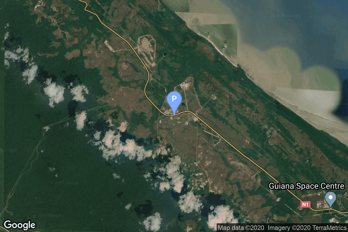
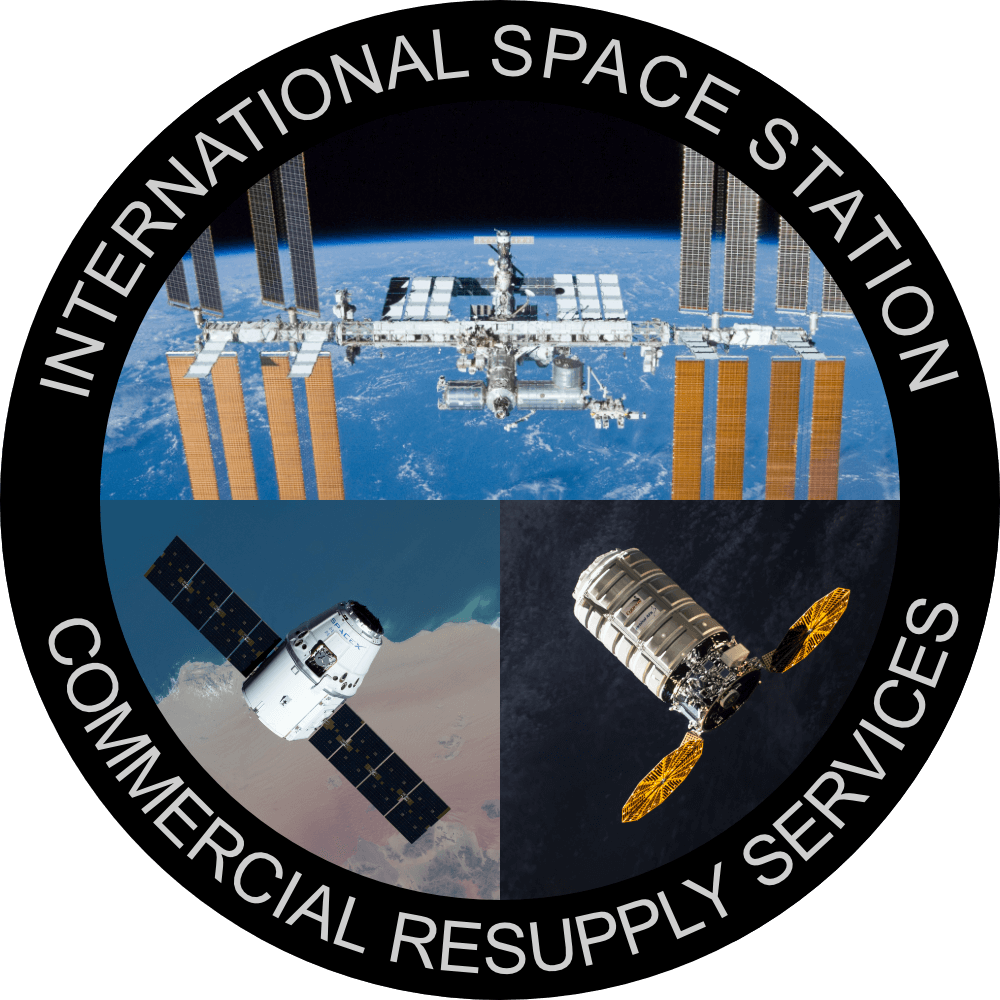
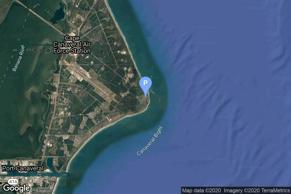
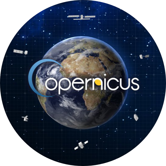
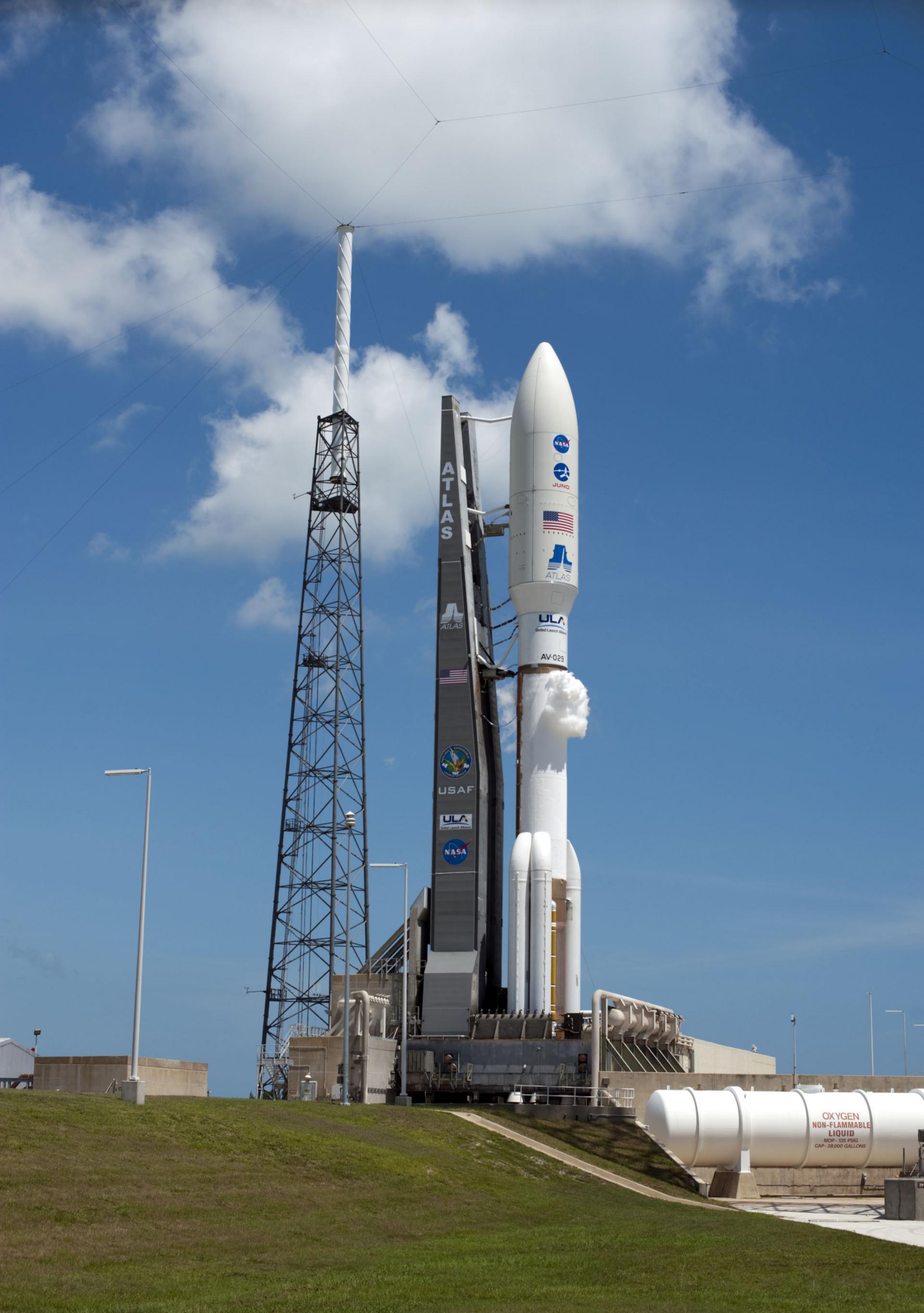
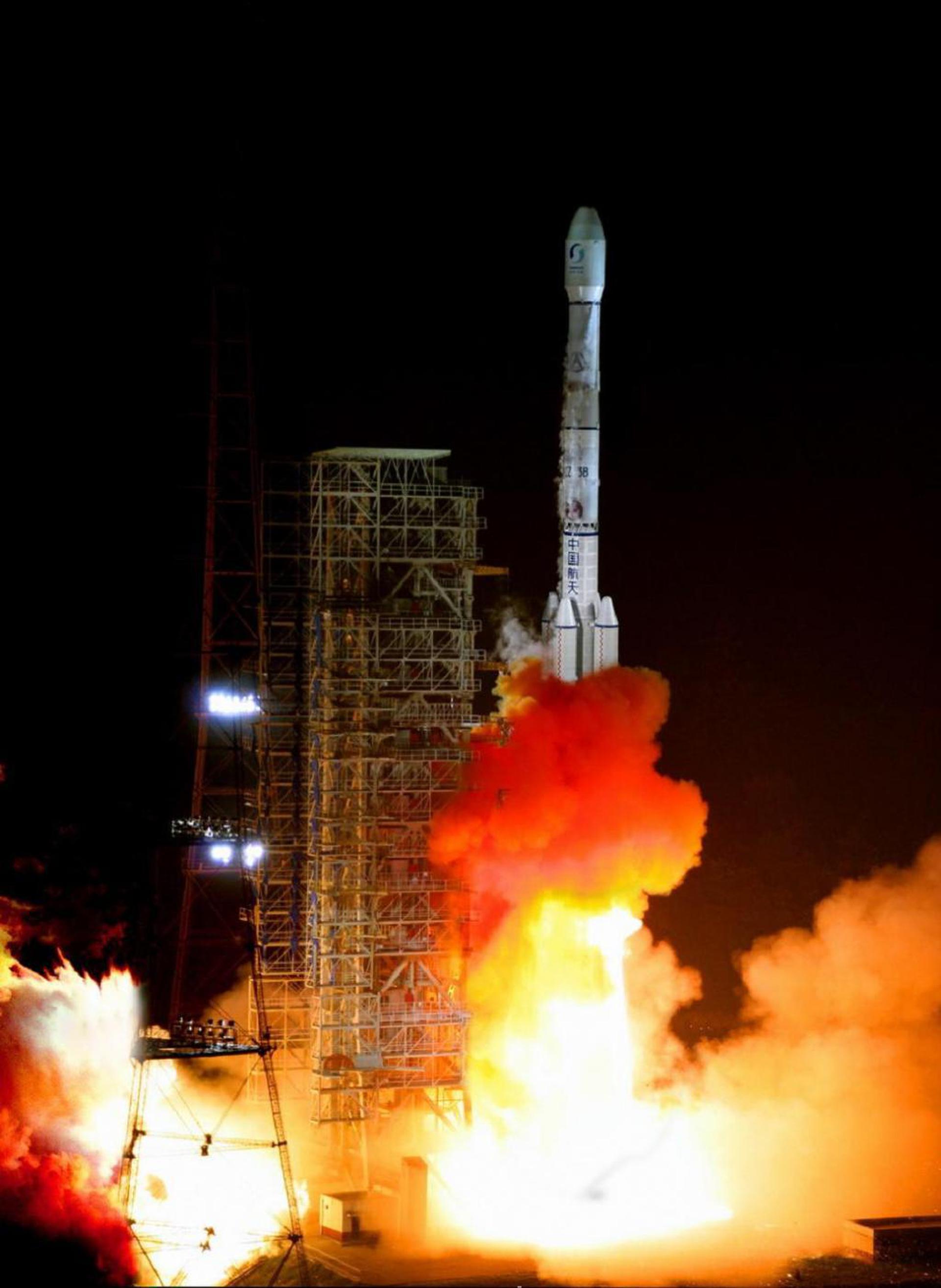
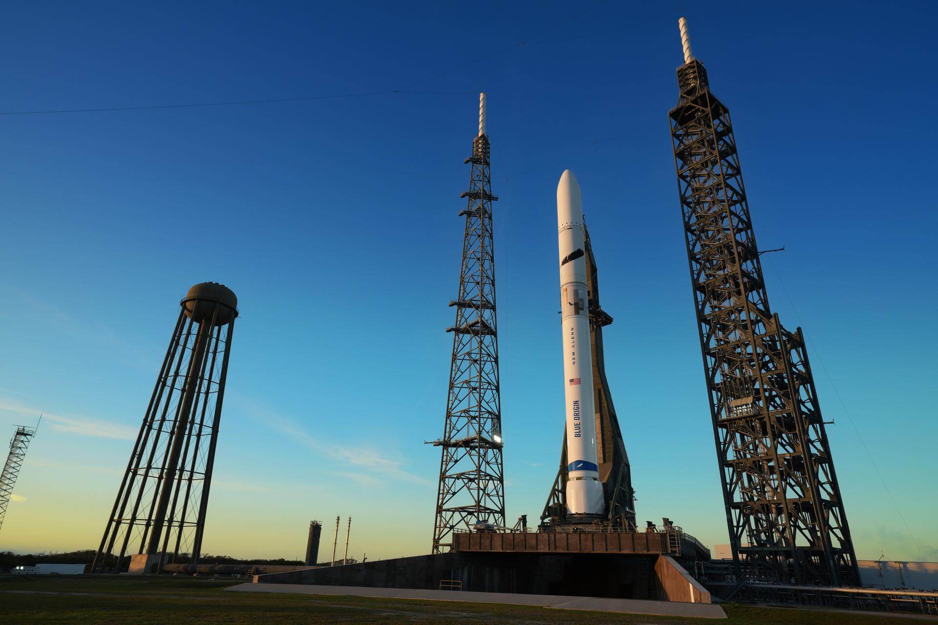
{ "count": 175, "next": "https://lldev.thespacedevs.com/2.0.0/launch/upcoming/?format=api&limit=10&offset=70&ordering=-id", "previous": "https://lldev.thespacedevs.com/2.0.0/launch/upcoming/?format=api&limit=10&offset=50&ordering=-id", "results": [ { "id": "a8c191e1-b231-4b2e-aefd-5e8ad55c7a82", "url": "https://lldev.thespacedevs.com/2.0.0/launch/a8c191e1-b231-4b2e-aefd-5e8ad55c7a82/?format=api", "launch_library_id": null, "slug": "miura-5-maiden-flight", "name": "Miura 5 | Maiden Flight", "status": { "id": 2, "name": "TBD" }, "net": "2025-12-31T00:00:00Z", "window_end": "2025-12-31T00:00:00Z", "window_start": "2025-12-31T00:00:00Z", "inhold": false, "tbdtime": true, "tbddate": true, "probability": null, "holdreason": "", "failreason": "", "hashtag": null, "launch_service_provider": { "id": 1051, "url": "https://lldev.thespacedevs.com/2.0.0/agencies/1051/?format=api", "name": "Payload Aerospace S.L.", "type": "Commercial" }, "rocket": { "id": 8207, "configuration": { "id": 509, "launch_library_id": null, "url": "https://lldev.thespacedevs.com/2.0.0/config/launcher/509/?format=api", "name": "Miura 5", "family": "Miura", "full_name": "Miura 5", "variant": "" } }, "mission": { "id": 6779, "launch_library_id": null, "name": "Maiden Flight", "description": "First flight of the Miura 5 launch vehicle.", "launch_designator": null, "type": "Test Flight", "orbit": { "id": 17, "name": "Sun-Synchronous Orbit", "abbrev": "SSO" } }, "pad": { "id": 125, "url": "https://lldev.thespacedevs.com/2.0.0/pad/125/?format=api", "agency_id": 115, "name": "Diamant Launch Area", "info_url": null, "wiki_url": null, "map_url": "https://www.google.com/maps?q=5.2222222,-52.7758051", "latitude": "5.2222222", "longitude": "-52.7758051", "location": { "id": 13, "url": "https://lldev.thespacedevs.com/2.0.0/location/13/?format=api", "name": "Guiana Space Centre, French Guiana", "country_code": "GUF", "map_image": "https://thespacedevs-prod.nyc3.digitaloceanspaces.com/media/map_images/location_13_20200803142412.jpg", "total_launch_count": 325, "total_landing_count": 0 }, "map_image": "https://thespacedevs-prod.nyc3.digitaloceanspaces.com/media/map_images/pad_125_20200803143236.jpg", "total_launch_count": 8 }, "webcast_live": false, "image": null, "infographic": null, "program": [] }, { "id": "a67b40f9-cfcc-4614-a355-a156280b4bb3", "url": "https://lldev.thespacedevs.com/2.0.0/launch/a67b40f9-cfcc-4614-a355-a156280b4bb3/?format=api", "launch_library_id": 1353, "slug": "vulcan-vc4l-dream-chaser-crs-2-flight-1", "name": "Vulcan VC4L | Dream Chaser CRS 2 Flight 1", "status": { "id": 2, "name": "TBD" }, "net": "2025-09-30T00:00:00Z", "window_end": "2025-09-30T00:00:00Z", "window_start": "2025-09-30T00:00:00Z", "inhold": false, "tbdtime": true, "tbddate": true, "probability": null, "holdreason": "", "failreason": "", "hashtag": null, "launch_service_provider": { "id": 124, "url": "https://lldev.thespacedevs.com/2.0.0/agencies/124/?format=api", "name": "United Launch Alliance", "type": "Commercial" }, "rocket": { "id": 2529, "configuration": { "id": 202, "launch_library_id": 227, "url": "https://lldev.thespacedevs.com/2.0.0/config/launcher/202/?format=api", "name": "Vulcan VC4L", "family": "Vulcan", "full_name": "Vulcan VC4L", "variant": "VC4L" } }, "mission": { "id": 6519, "launch_library_id": null, "name": "Dream Chaser CRS 2 Flight 1", "description": "First flight of the Dream Chaser Spaceplane to the ISS.", "launch_designator": null, "type": "Resupply", "orbit": { "id": 8, "name": "Low Earth Orbit", "abbrev": "LEO" } }, "pad": { "id": 29, "url": "https://lldev.thespacedevs.com/2.0.0/pad/29/?format=api", "agency_id": null, "name": "Space Launch Complex 41", "info_url": null, "wiki_url": "https://en.wikipedia.org/wiki/Cape_Canaveral_Air_Force_Station_Space_Launch_Complex_41", "map_url": "https://www.google.com/maps?q=28.58341025,-80.58303644", "latitude": "28.58341025", "longitude": "-80.58303644", "location": { "id": 12, "url": "https://lldev.thespacedevs.com/2.0.0/location/12/?format=api", "name": "Cape Canaveral SFS, FL, USA", "country_code": "USA", "map_image": "https://thespacedevs-prod.nyc3.digitaloceanspaces.com/media/map_images/location_12_20200803142519.jpg", "total_launch_count": 1023, "total_landing_count": 64 }, "map_image": "https://thespacedevs-prod.nyc3.digitaloceanspaces.com/media/map_images/pad_29_20200803143528.jpg", "total_launch_count": 115 }, "webcast_live": false, "image": null, "infographic": null, "program": [ { "id": 11, "url": "https://lldev.thespacedevs.com/2.0.0/program/11/?format=api", "name": "Commercial Resupply Services", "description": "Commercial Resupply Services (CRS) are a series of flights awarded by NASA for the delivery of cargo and supplies to the International Space Station.The first CRS contracts were signed in 2008 and awarded $1.6 billion to SpaceX for twelve cargo Dragon and $1.9 billion to Orbital Sciences for eight Cygnus flights, covering deliveries to 2016. The Falcon 9 and Antares rockets were also developed under the CRS program to deliver cargo spacecraft to the ISS.", "agencies": [ { "id": 44, "url": "https://lldev.thespacedevs.com/2.0.0/agencies/44/?format=api", "name": "National Aeronautics and Space Administration", "type": "Government" }, { "id": 257, "url": "https://lldev.thespacedevs.com/2.0.0/agencies/257/?format=api", "name": "Northrop Grumman Space Systems", "type": "Commercial" }, { "id": 1020, "url": "https://lldev.thespacedevs.com/2.0.0/agencies/1020/?format=api", "name": "Sierra Nevada Corporation", "type": "Commercial" }, { "id": 121, "url": "https://lldev.thespacedevs.com/2.0.0/agencies/121/?format=api", "name": "SpaceX", "type": "Commercial" } ], "image_url": "https://thespacedevs-prod.nyc3.digitaloceanspaces.com/media/images/commercial2520_program_20201129212219.png", "start_date": "2008-12-23T00:00:00Z", "end_date": null, "info_url": null, "wiki_url": "https://en.wikipedia.org/wiki/Commercial_Resupply_Services#Commercial_Resupply_Services" } ] }, { "id": "a6317760-1c15-4064-8b1f-fc3f68882a77", "url": "https://lldev.thespacedevs.com/2.0.0/launch/a6317760-1c15-4064-8b1f-fc3f68882a77/?format=api", "launch_library_id": null, "slug": "falcon-9-block-5-mtg-s1", "name": "Falcon 9 Block 5 | MTG-S1", "status": { "id": 2, "name": "TBD" }, "net": "2025-07-31T00:00:00Z", "window_end": "2025-07-31T00:00:00Z", "window_start": "2025-07-31T00:00:00Z", "inhold": false, "tbdtime": true, "tbddate": true, "probability": null, "holdreason": "", "failreason": "", "hashtag": null, "launch_service_provider": { "id": 121, "url": "https://lldev.thespacedevs.com/2.0.0/agencies/121/?format=api", "name": "SpaceX", "type": "Commercial" }, "rocket": { "id": 7513, "configuration": { "id": 164, "launch_library_id": 188, "url": "https://lldev.thespacedevs.com/2.0.0/config/launcher/164/?format=api", "name": "Falcon 9", "family": "Falcon", "full_name": "Falcon 9 Block 5", "variant": "Block 5" } }, "mission": { "id": 5923, "launch_library_id": null, "name": "MTG-S1", "description": "Second of EUMETSAT's third generation of weather satellite.", "launch_designator": null, "type": "Earth Science", "orbit": { "id": 2, "name": "Geostationary Transfer Orbit", "abbrev": "GTO" } }, "pad": { "id": 72, "url": "https://lldev.thespacedevs.com/2.0.0/pad/72/?format=api", "agency_id": null, "name": "Unknown Pad", "info_url": null, "wiki_url": "", "map_url": "https://www.google.com/maps?q=28.458,-80.528", "latitude": "28.458", "longitude": "-80.528", "location": { "id": 12, "url": "https://lldev.thespacedevs.com/2.0.0/location/12/?format=api", "name": "Cape Canaveral SFS, FL, USA", "country_code": "USA", "map_image": "https://thespacedevs-prod.nyc3.digitaloceanspaces.com/media/map_images/location_12_20200803142519.jpg", "total_launch_count": 1023, "total_landing_count": 64 }, "map_image": "https://thespacedevs-prod.nyc3.digitaloceanspaces.com/media/map_images/pad_72_20200803143403.jpg", "total_launch_count": 0 }, "webcast_live": false, "image": "https://thespacedevs-prod.nyc3.digitaloceanspaces.com/media/images/falcon_9_image_20230807133459.jpeg", "infographic": null, "program": [] }, { "id": "a5e8c7ff-f30d-488d-8ef3-b445cbd75fd3", "url": "https://lldev.thespacedevs.com/2.0.0/launch/a5e8c7ff-f30d-488d-8ef3-b445cbd75fd3/?format=api", "launch_library_id": null, "slug": "falcon-9-block-5-sentinel-6b", "name": "Falcon 9 Block 5 | Sentinel-6B", "status": { "id": 2, "name": "TBD" }, "net": "2025-12-31T00:00:00Z", "window_end": "2025-12-31T00:00:00Z", "window_start": "2025-12-31T00:00:00Z", "inhold": false, "tbdtime": true, "tbddate": true, "probability": null, "holdreason": "", "failreason": "", "hashtag": null, "launch_service_provider": { "id": 121, "url": "https://lldev.thespacedevs.com/2.0.0/agencies/121/?format=api", "name": "SpaceX", "type": "Commercial" }, "rocket": { "id": 7737, "configuration": { "id": 164, "launch_library_id": 188, "url": "https://lldev.thespacedevs.com/2.0.0/config/launcher/164/?format=api", "name": "Falcon 9", "family": "Falcon", "full_name": "Falcon 9 Block 5", "variant": "Block 5" } }, "mission": { "id": 6255, "launch_library_id": null, "name": "Sentinel-6B", "description": "The Sentinel-6 Michael Freilich (launched November 2020) and Sentinel-6B make up the Sentinel-6 mission, also known as Jason Continuity of Service (Jason-CS), which is a partnership between NASA, NOAA, ESA, and EUMETSAT. This mission continues the long-term global sea surface height data record begun by first Jason satellites in 1992.", "launch_designator": null, "type": "Earth Science", "orbit": { "id": 8, "name": "Low Earth Orbit", "abbrev": "LEO" } }, "pad": { "id": 16, "url": "https://lldev.thespacedevs.com/2.0.0/pad/16/?format=api", "agency_id": null, "name": "Space Launch Complex 4E", "info_url": null, "wiki_url": "https://en.wikipedia.org/wiki/Vandenberg_Space_Launch_Complex_4#SLC-4E", "map_url": "https://www.google.com/maps?q=34.632,-120.611", "latitude": "34.632", "longitude": "-120.611", "location": { "id": 11, "url": "https://lldev.thespacedevs.com/2.0.0/location/11/?format=api", "name": "Vandenberg SFB, CA, USA", "country_code": "USA", "map_image": "https://thespacedevs-prod.nyc3.digitaloceanspaces.com/media/map_images/location_11_20200803142416.jpg", "total_launch_count": 807, "total_landing_count": 26 }, "map_image": "https://thespacedevs-prod.nyc3.digitaloceanspaces.com/media/map_images/pad_16_20200803143532.jpg", "total_launch_count": 193 }, "webcast_live": false, "image": "https://thespacedevs-prod.nyc3.digitaloceanspaces.com/media/images/falcon_9_image_20230807133459.jpeg", "infographic": null, "program": [ { "id": 22, "url": "https://lldev.thespacedevs.com/2.0.0/program/22/?format=api", "name": "Copernicus", "description": "Copernicus is the European Union's Earth observation programme coordinated and managed for the European Commission by the European Union Agency for the Space Programme in partnership with the European Space Agency (ESA), the EU Member States. It aims at achieving a global, continuous, autonomous, high quality, wide range Earth observation capacity. Providing accurate, timely and easily accessible information to, among other things, improve the management of the environment, understand and mitigate the effects of climate change, and ensure civil security.", "agencies": [ { "id": 27, "url": "https://lldev.thespacedevs.com/2.0.0/agencies/27/?format=api", "name": "European Space Agency", "type": "Multinational" }, { "id": 1043, "url": "https://lldev.thespacedevs.com/2.0.0/agencies/1043/?format=api", "name": "European Union Agency for the Space Programme", "type": "Multinational" } ], "image_url": "https://thespacedevs-prod.nyc3.digitaloceanspaces.com/media/images/copernicus_program_20221129162831.png", "start_date": "2014-04-03T00:00:00Z", "end_date": null, "info_url": "https://www.copernicus.eu", "wiki_url": "https://en.wikipedia.org/wiki/Copernicus_Programme" } ] }, { "id": "a2a87bed-7e8c-4680-a282-045c4ffe9917", "url": "https://lldev.thespacedevs.com/2.0.0/launch/a2a87bed-7e8c-4680-a282-045c4ffe9917/?format=api", "launch_library_id": null, "slug": "vega-c-co3d-microcarb", "name": "Vega-C | CO3D & MicroCarb", "status": { "id": 2, "name": "TBD" }, "net": "2025-07-31T00:00:00Z", "window_end": "2025-07-31T00:00:00Z", "window_start": "2025-07-31T00:00:00Z", "inhold": false, "tbdtime": true, "tbddate": true, "probability": null, "holdreason": "", "failreason": "", "hashtag": null, "launch_service_provider": { "id": 115, "url": "https://lldev.thespacedevs.com/2.0.0/agencies/115/?format=api", "name": "Arianespace", "type": "Commercial" }, "rocket": { "id": 8433, "configuration": { "id": 127, "launch_library_id": 163, "url": "https://lldev.thespacedevs.com/2.0.0/config/launcher/127/?format=api", "name": "Vega-C", "family": "Vega", "full_name": "Vega-C", "variant": "" } }, "mission": { "id": 7022, "launch_library_id": null, "name": "CO3D & MicroCarb", "description": "CO3D is a CNES-Airbus Defence & Space constellation of four small satellites designed to map the globe in 3D from low Earth to serve public and private sector needs. Microcarb is a small satellite designed to map sources and sinks of carbon dioxide (CO2)—the most important greenhouse gas — on a global scale.", "launch_designator": null, "type": "Earth Science", "orbit": { "id": 17, "name": "Sun-Synchronous Orbit", "abbrev": "SSO" } }, "pad": { "id": 34, "url": "https://lldev.thespacedevs.com/2.0.0/pad/34/?format=api", "agency_id": 115, "name": "Ariane Launch Area 1 (ELV)", "info_url": null, "wiki_url": "https://en.wikipedia.org/wiki/ELA-1", "map_url": "https://www.google.com/maps?q=5.236,-52.775", "latitude": "5.236", "longitude": "-52.775", "location": { "id": 13, "url": "https://lldev.thespacedevs.com/2.0.0/location/13/?format=api", "name": "Guiana Space Centre, French Guiana", "country_code": "GUF", "map_image": "https://thespacedevs-prod.nyc3.digitaloceanspaces.com/media/map_images/location_13_20200803142412.jpg", "total_launch_count": 325, "total_landing_count": 0 }, "map_image": "https://thespacedevs-prod.nyc3.digitaloceanspaces.com/media/map_images/pad_34_20200803143527.jpg", "total_launch_count": 52 }, "webcast_live": false, "image": "https://thespacedevs-prod.nyc3.digitaloceanspaces.com/media/images/vega-c_image_20220713154437.jpg", "infographic": null, "program": [] }, { "id": "9f6d8a5a-f77c-42ff-b377-91628862ae59", "url": "https://lldev.thespacedevs.com/2.0.0/launch/9f6d8a5a-f77c-42ff-b377-91628862ae59/?format=api", "launch_library_id": null, "slug": "atlas-v-551-project-kuiper-ka-03", "name": "Atlas V 551 | Project Kuiper (KA-03)", "status": { "id": 2, "name": "TBD" }, "net": "2025-12-31T00:00:00Z", "window_end": "2025-12-31T00:00:00Z", "window_start": "2025-12-31T00:00:00Z", "inhold": false, "tbdtime": true, "tbddate": true, "probability": null, "holdreason": "", "failreason": "", "hashtag": null, "launch_service_provider": { "id": 124, "url": "https://lldev.thespacedevs.com/2.0.0/agencies/124/?format=api", "name": "United Launch Alliance", "type": "Commercial" }, "rocket": { "id": 163, "configuration": { "id": 27, "launch_library_id": 37, "url": "https://lldev.thespacedevs.com/2.0.0/config/launcher/27/?format=api", "name": "Atlas V 551", "family": "Atlas", "full_name": "Atlas V 551", "variant": "551" } }, "mission": { "id": 5995, "launch_library_id": null, "name": "Project Kuiper (KA-03)", "description": "Project Kuiper is a mega constellation of satellites in Low Earth Orbit that will offer broadband internet access, this constellation will be managed by Kuiper Systems LLC, a subsidiary of Amazon. This constellation is planned to be composed of 3,276 satellites. The satellites are projected to be placed in 98 orbital planes in three orbital layers, one at 590 km, 610 km and 630 km altitude.", "launch_designator": null, "type": "Communications", "orbit": { "id": 8, "name": "Low Earth Orbit", "abbrev": "LEO" } }, "pad": { "id": 29, "url": "https://lldev.thespacedevs.com/2.0.0/pad/29/?format=api", "agency_id": null, "name": "Space Launch Complex 41", "info_url": null, "wiki_url": "https://en.wikipedia.org/wiki/Cape_Canaveral_Air_Force_Station_Space_Launch_Complex_41", "map_url": "https://www.google.com/maps?q=28.58341025,-80.58303644", "latitude": "28.58341025", "longitude": "-80.58303644", "location": { "id": 12, "url": "https://lldev.thespacedevs.com/2.0.0/location/12/?format=api", "name": "Cape Canaveral SFS, FL, USA", "country_code": "USA", "map_image": "https://thespacedevs-prod.nyc3.digitaloceanspaces.com/media/map_images/location_12_20200803142519.jpg", "total_launch_count": 1023, "total_landing_count": 64 }, "map_image": "https://thespacedevs-prod.nyc3.digitaloceanspaces.com/media/map_images/pad_29_20200803143528.jpg", "total_launch_count": 115 }, "webcast_live": false, "image": "https://thespacedevs-prod.nyc3.digitaloceanspaces.com/media/images/atlas2520v2520551_image_20190224012316.jpeg", "infographic": null, "program": [ { "id": 27, "url": "https://lldev.thespacedevs.com/2.0.0/program/27/?format=api", "name": "Project Kuiper", "description": "Amazon's Kuiper Project is a satellite internet initiative aimed at providing high-speed, low-latency broadband connectivity to underserved and remote areas globally. The project involves deploying a constellation of low Earth orbit (LEO) satellites to create a satellite internet network capable of delivering reliable internet access.", "agencies": [ { "id": 1058, "url": "https://lldev.thespacedevs.com/2.0.0/agencies/1058/?format=api", "name": "Kuiper Systems LLC", "type": "Private" } ], "image_url": "https://thespacedevs-prod.nyc3.digitaloceanspaces.com/media/images/project2520kui_program_20231228165031.jpeg", "start_date": "2023-10-16T18:06:00Z", "end_date": null, "info_url": "https://en.wikipedia.org/wiki/Kuiper_Systems", "wiki_url": "http://aboutamazon.com/what-we-do/devices-services/project-kuiper" } ] }, { "id": "9eb09815-c237-4fdd-9057-5b161131240c", "url": "https://lldev.thespacedevs.com/2.0.0/launch/9eb09815-c237-4fdd-9057-5b161131240c/?format=api", "launch_library_id": null, "slug": "atlas-v-551-project-kuiper-ka-08", "name": "Atlas V 551 | Project Kuiper (KA-08)", "status": { "id": 2, "name": "TBD" }, "net": "2025-12-31T00:00:00Z", "window_end": "2025-12-31T00:00:00Z", "window_start": "2025-12-31T00:00:00Z", "inhold": false, "tbdtime": true, "tbddate": true, "probability": null, "holdreason": "", "failreason": "", "hashtag": null, "launch_service_provider": { "id": 124, "url": "https://lldev.thespacedevs.com/2.0.0/agencies/124/?format=api", "name": "United Launch Alliance", "type": "Commercial" }, "rocket": { "id": 184, "configuration": { "id": 27, "launch_library_id": 37, "url": "https://lldev.thespacedevs.com/2.0.0/config/launcher/27/?format=api", "name": "Atlas V 551", "family": "Atlas", "full_name": "Atlas V 551", "variant": "551" } }, "mission": { "id": 6000, "launch_library_id": null, "name": "Project Kuiper (KA-08)", "description": "Project Kuiper is a mega constellation of satellites in Low Earth Orbit that will offer broadband internet access, this constellation will be managed by Kuiper Systems LLC, a subsidiary of Amazon. This constellation is planned to be composed of 3,276 satellites. The satellites are projected to be placed in 98 orbital planes in three orbital layers, one at 590 km, 610 km and 630 km altitude.", "launch_designator": null, "type": "Communications", "orbit": { "id": 8, "name": "Low Earth Orbit", "abbrev": "LEO" } }, "pad": { "id": 29, "url": "https://lldev.thespacedevs.com/2.0.0/pad/29/?format=api", "agency_id": null, "name": "Space Launch Complex 41", "info_url": null, "wiki_url": "https://en.wikipedia.org/wiki/Cape_Canaveral_Air_Force_Station_Space_Launch_Complex_41", "map_url": "https://www.google.com/maps?q=28.58341025,-80.58303644", "latitude": "28.58341025", "longitude": "-80.58303644", "location": { "id": 12, "url": "https://lldev.thespacedevs.com/2.0.0/location/12/?format=api", "name": "Cape Canaveral SFS, FL, USA", "country_code": "USA", "map_image": "https://thespacedevs-prod.nyc3.digitaloceanspaces.com/media/map_images/location_12_20200803142519.jpg", "total_launch_count": 1023, "total_landing_count": 64 }, "map_image": "https://thespacedevs-prod.nyc3.digitaloceanspaces.com/media/map_images/pad_29_20200803143528.jpg", "total_launch_count": 115 }, "webcast_live": false, "image": "https://thespacedevs-prod.nyc3.digitaloceanspaces.com/media/images/atlas2520v2520551_image_20190224012316.jpeg", "infographic": null, "program": [ { "id": 27, "url": "https://lldev.thespacedevs.com/2.0.0/program/27/?format=api", "name": "Project Kuiper", "description": "Amazon's Kuiper Project is a satellite internet initiative aimed at providing high-speed, low-latency broadband connectivity to underserved and remote areas globally. The project involves deploying a constellation of low Earth orbit (LEO) satellites to create a satellite internet network capable of delivering reliable internet access.", "agencies": [ { "id": 1058, "url": "https://lldev.thespacedevs.com/2.0.0/agencies/1058/?format=api", "name": "Kuiper Systems LLC", "type": "Private" } ], "image_url": "https://thespacedevs-prod.nyc3.digitaloceanspaces.com/media/images/project2520kui_program_20231228165031.jpeg", "start_date": "2023-10-16T18:06:00Z", "end_date": null, "info_url": "https://en.wikipedia.org/wiki/Kuiper_Systems", "wiki_url": "http://aboutamazon.com/what-we-do/devices-services/project-kuiper" } ] }, { "id": "9d90b9bc-9c62-4618-8514-6f835b4a2030", "url": "https://lldev.thespacedevs.com/2.0.0/launch/9d90b9bc-9c62-4618-8514-6f835b4a2030/?format=api", "launch_library_id": null, "slug": "atlas-v-551-project-kuiper-ka-02", "name": "Atlas V 551 | Project Kuiper (KA-02)", "status": { "id": 2, "name": "TBD" }, "net": "2025-06-30T00:00:00Z", "window_end": "2025-06-30T00:00:00Z", "window_start": "2025-06-30T00:00:00Z", "inhold": false, "tbdtime": true, "tbddate": true, "probability": null, "holdreason": "", "failreason": "", "hashtag": null, "launch_service_provider": { "id": 124, "url": "https://lldev.thespacedevs.com/2.0.0/agencies/124/?format=api", "name": "United Launch Alliance", "type": "Commercial" }, "rocket": { "id": 143, "configuration": { "id": 27, "launch_library_id": 37, "url": "https://lldev.thespacedevs.com/2.0.0/config/launcher/27/?format=api", "name": "Atlas V 551", "family": "Atlas", "full_name": "Atlas V 551", "variant": "551" } }, "mission": { "id": 5994, "launch_library_id": null, "name": "Project Kuiper (KA-02)", "description": "Project Kuiper is a mega constellation of satellites in Low Earth Orbit that will offer broadband internet access, this constellation will be managed by Kuiper Systems LLC, a subsidiary of Amazon. This constellation is planned to be composed of 3,276 satellites. The satellites are projected to be placed in 98 orbital planes in three orbital layers, one at 590 km, 610 km and 630 km altitude.", "launch_designator": null, "type": "Communications", "orbit": { "id": 8, "name": "Low Earth Orbit", "abbrev": "LEO" } }, "pad": { "id": 29, "url": "https://lldev.thespacedevs.com/2.0.0/pad/29/?format=api", "agency_id": null, "name": "Space Launch Complex 41", "info_url": null, "wiki_url": "https://en.wikipedia.org/wiki/Cape_Canaveral_Air_Force_Station_Space_Launch_Complex_41", "map_url": "https://www.google.com/maps?q=28.58341025,-80.58303644", "latitude": "28.58341025", "longitude": "-80.58303644", "location": { "id": 12, "url": "https://lldev.thespacedevs.com/2.0.0/location/12/?format=api", "name": "Cape Canaveral SFS, FL, USA", "country_code": "USA", "map_image": "https://thespacedevs-prod.nyc3.digitaloceanspaces.com/media/map_images/location_12_20200803142519.jpg", "total_launch_count": 1023, "total_landing_count": 64 }, "map_image": "https://thespacedevs-prod.nyc3.digitaloceanspaces.com/media/map_images/pad_29_20200803143528.jpg", "total_launch_count": 115 }, "webcast_live": false, "image": "https://thespacedevs-prod.nyc3.digitaloceanspaces.com/media/images/atlas2520v2520551_image_20190224012316.jpeg", "infographic": null, "program": [ { "id": 27, "url": "https://lldev.thespacedevs.com/2.0.0/program/27/?format=api", "name": "Project Kuiper", "description": "Amazon's Kuiper Project is a satellite internet initiative aimed at providing high-speed, low-latency broadband connectivity to underserved and remote areas globally. The project involves deploying a constellation of low Earth orbit (LEO) satellites to create a satellite internet network capable of delivering reliable internet access.", "agencies": [ { "id": 1058, "url": "https://lldev.thespacedevs.com/2.0.0/agencies/1058/?format=api", "name": "Kuiper Systems LLC", "type": "Private" } ], "image_url": "https://thespacedevs-prod.nyc3.digitaloceanspaces.com/media/images/project2520kui_program_20231228165031.jpeg", "start_date": "2023-10-16T18:06:00Z", "end_date": null, "info_url": "https://en.wikipedia.org/wiki/Kuiper_Systems", "wiki_url": "http://aboutamazon.com/what-we-do/devices-services/project-kuiper" } ] }, { "id": "9d69b85a-940d-4c1a-be75-6449d3b2a836", "url": "https://lldev.thespacedevs.com/2.0.0/launch/9d69b85a-940d-4c1a-be75-6449d3b2a836/?format=api", "launch_library_id": 1358, "slug": "long-march-3be-fengyun-4c", "name": "Long March 3B/E | Fengyun-4C", "status": { "id": 2, "name": "TBD" }, "net": "2025-12-31T00:00:00Z", "window_end": "2025-12-31T00:00:00Z", "window_start": "2025-12-31T00:00:00Z", "inhold": false, "tbdtime": true, "tbddate": true, "probability": null, "holdreason": "", "failreason": "", "hashtag": null, "launch_service_provider": { "id": 88, "url": "https://lldev.thespacedevs.com/2.0.0/agencies/88/?format=api", "name": "China Aerospace Science and Technology Corporation", "type": "Government" }, "rocket": { "id": 138, "configuration": { "id": 50, "launch_library_id": 69, "url": "https://lldev.thespacedevs.com/2.0.0/config/launcher/50/?format=api", "name": "Long March 3", "family": "Long March", "full_name": "Long March 3B/E", "variant": "B/E" } }, "mission": { "id": 6709, "launch_library_id": null, "name": "Fengyun-4C", "description": "China's geostationary meteorological satellite program FY-4 (Feng Yun 4) is the second generation of chinese geostationary meteorological satellites.", "launch_designator": null, "type": "Earth Science", "orbit": { "id": 2, "name": "Geostationary Transfer Orbit", "abbrev": "GTO" } }, "pad": { "id": 86, "url": "https://lldev.thespacedevs.com/2.0.0/pad/86/?format=api", "agency_id": 17, "name": "Unknown Pad", "info_url": null, "wiki_url": "https://en.wikipedia.org/wiki/Xichang_Satellite_Launch_Center", "map_url": "https://www.google.com/maps?q=28.246017,102.026556", "latitude": "28.246017", "longitude": "102.026556", "location": { "id": 16, "url": "https://lldev.thespacedevs.com/2.0.0/location/16/?format=api", "name": "Xichang Satellite Launch Center, People's Republic of China", "country_code": "CHN", "map_image": "https://thespacedevs-prod.nyc3.digitaloceanspaces.com/media/map_images/location_16_20200803142513.jpg", "total_launch_count": 225, "total_landing_count": 0 }, "map_image": "https://thespacedevs-prod.nyc3.digitaloceanspaces.com/media/map_images/pad_86_20200803143555.jpg", "total_launch_count": 0 }, "webcast_live": false, "image": "https://thespacedevs-prod.nyc3.digitaloceanspaces.com/media/images/long2520march25203_image_20190222031215.jpeg", "infographic": null, "program": [] }, { "id": "9c950919-5d11-4a79-a4f1-be7387678c0a", "url": "https://lldev.thespacedevs.com/2.0.0/launch/9c950919-5d11-4a79-a4f1-be7387678c0a/?format=api", "launch_library_id": null, "slug": "new-glenn-escapade", "name": "New Glenn | EscaPADE", "status": { "id": 2, "name": "TBD" }, "net": "2025-06-30T00:00:00Z", "window_end": "2025-06-30T00:00:00Z", "window_start": "2025-06-30T00:00:00Z", "inhold": false, "tbdtime": true, "tbddate": true, "probability": null, "holdreason": "", "failreason": "", "hashtag": null, "launch_service_provider": { "id": 141, "url": "https://lldev.thespacedevs.com/2.0.0/agencies/141/?format=api", "name": "Blue Origin", "type": "Commercial" }, "rocket": { "id": 7783, "configuration": { "id": 138, "launch_library_id": 1001, "url": "https://lldev.thespacedevs.com/2.0.0/config/launcher/138/?format=api", "name": "New Glenn", "family": "", "full_name": "New Glenn", "variant": "" } }, "mission": { "id": 6301, "launch_library_id": null, "name": "EscaPADE", "description": "Maiden flight of Blue Origin's New Glenn launch vehicle carrying the Escape and Plasma Acceleration and Dynamics Explorers (EscaPADE), a dual-spacecraft mission to study ion and sputtered escape from Mars. The spacecrafts' scientific goals are to understand the processes controlling the structure of Mars' hybrid magnetosphere and how it guides ion flows; understand how energy and momentum are transported from the solar wind through Mars' magnetosphere; and understand the processes controlling the flow of energy and matter into and out of the collisional atmosphere.", "launch_designator": null, "type": "Planetary Science", "orbit": { "id": 19, "name": "Mars Orbit", "abbrev": "Mars" } }, "pad": { "id": 121, "url": "https://lldev.thespacedevs.com/2.0.0/pad/121/?format=api", "agency_id": 161, "name": "Launch Complex 36A", "info_url": null, "wiki_url": "https://en.wikipedia.org/wiki/Cape_Canaveral_Launch_Complex_36", "map_url": "https://www.google.com/maps?q=28.4705556,-80.542194", "latitude": "28.4705556", "longitude": "-80.542194", "location": { "id": 12, "url": "https://lldev.thespacedevs.com/2.0.0/location/12/?format=api", "name": "Cape Canaveral SFS, FL, USA", "country_code": "USA", "map_image": "https://thespacedevs-prod.nyc3.digitaloceanspaces.com/media/map_images/location_12_20200803142519.jpg", "total_launch_count": 1023, "total_landing_count": 64 }, "map_image": "https://thespacedevs-prod.nyc3.digitaloceanspaces.com/media/map_images/pad_121_20200803143231.jpg", "total_launch_count": 69 }, "webcast_live": false, "image": "https://thespacedevs-prod.nyc3.digitaloceanspaces.com/media/images/new_glenn_on_lc_image_20240313170026.jpeg", "infographic": null, "program": [ { "id": 39, "url": "https://lldev.thespacedevs.com/2.0.0/program/39/?format=api", "name": "Small Innovative Missions for Planetary Exploration", "description": "Small Innovative Missions for Planetary Exploration (SIMPLEx) is a planetary exploration program operated by NASA. The program funds small, low-cost spacecraft for stand-alone planetary exploration missions. These spacecraft are intended to launch as secondary payloads on other missions and are riskier than Discovery or New Frontiers missions.", "agencies": [ { "id": 44, "url": "https://lldev.thespacedevs.com/2.0.0/agencies/44/?format=api", "name": "National Aeronautics and Space Administration", "type": "Government" } ], "image_url": null, "start_date": "2021-01-17T00:00:00Z", "end_date": null, "info_url": "https://soma.larc.nasa.gov/simplex/", "wiki_url": "https://en.wikipedia.org/wiki/Small_Innovative_Missions_for_Planetary_Exploration" } ] } ] }