Previous Launch List
API endpoint that returns previous Launch objects.
GET: Return a list of previous Launches
FILTERS: Fields - 'name', 'id(s)', 'lsp_id', 'lsp_name', 'launcher_config__id',
MODE: 'normal', 'list', 'detailed' EXAMPLE: ?mode=list
SEARCH: Searches through the launch name, rocket name, launch agency and mission name. EXAMPLE - ?search=SpaceX
GET /2.0.0/launch/previous/?format=api&offset=7460&ordering=id
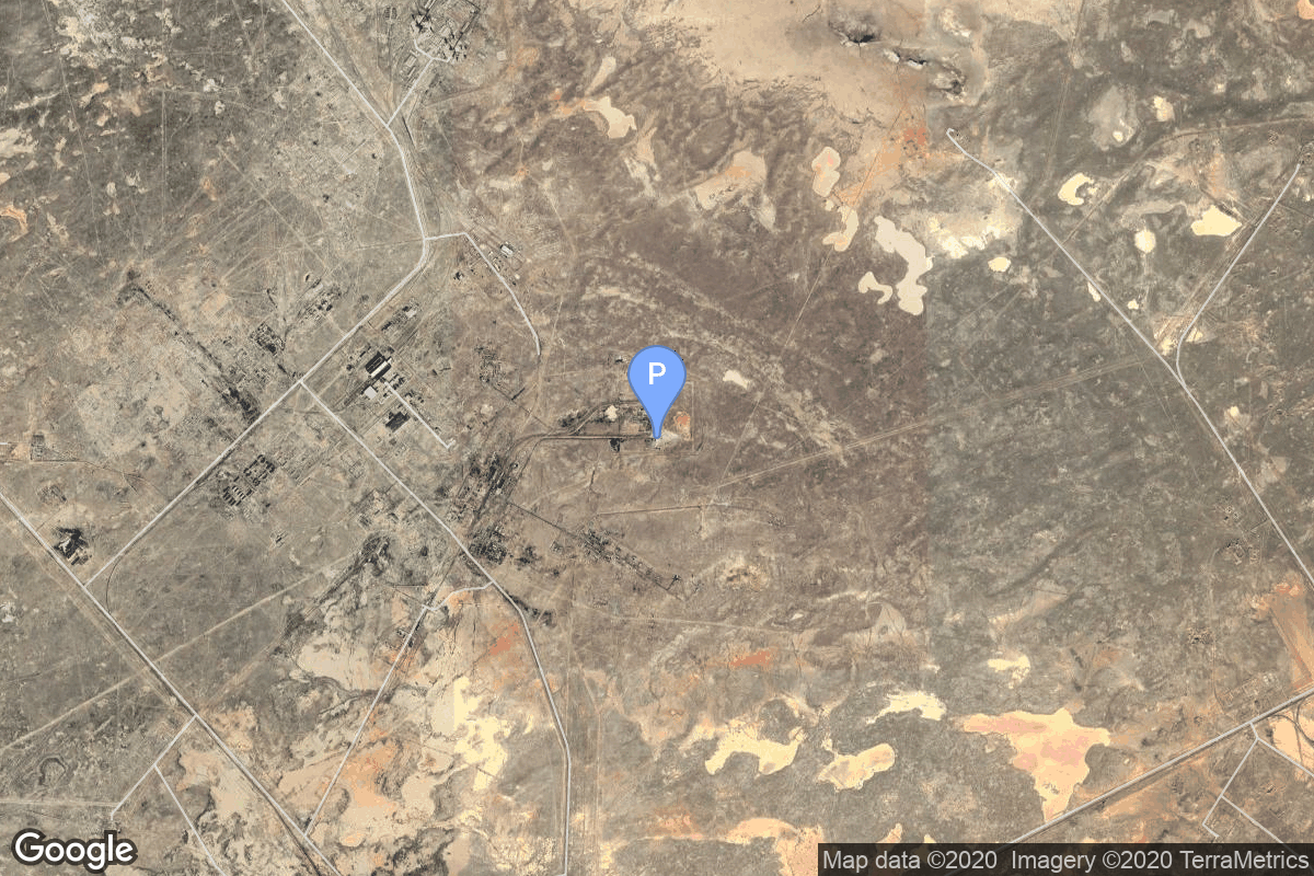
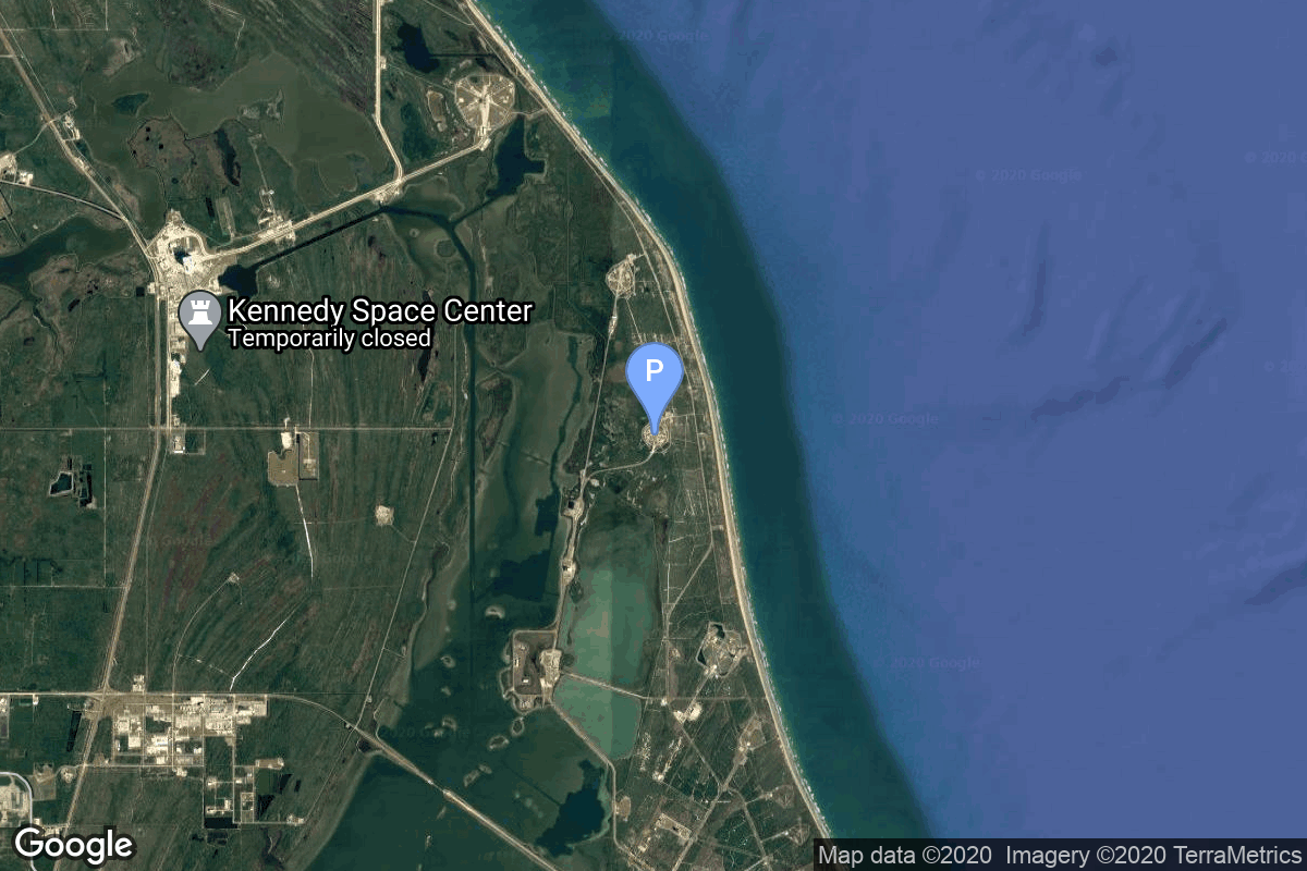
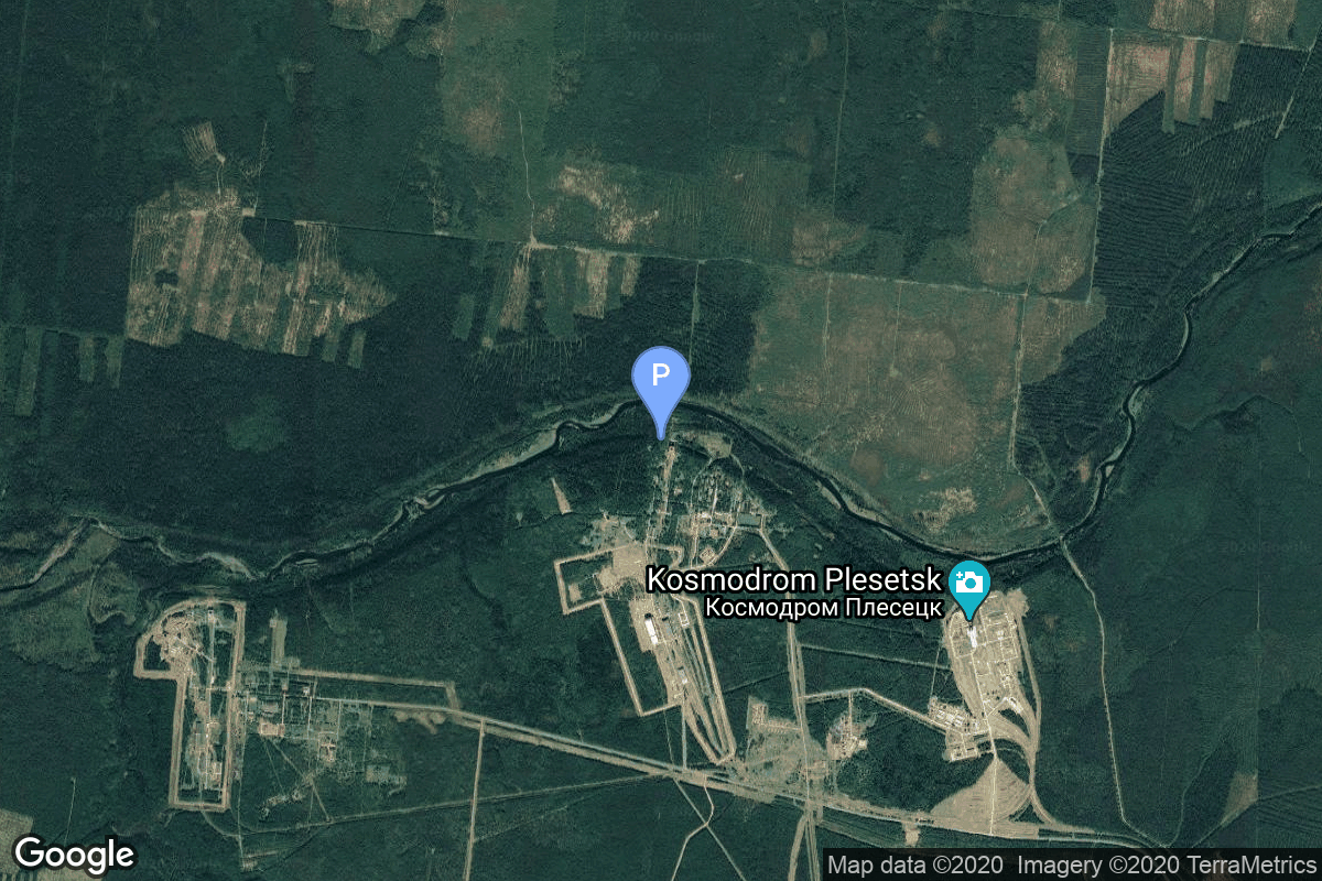
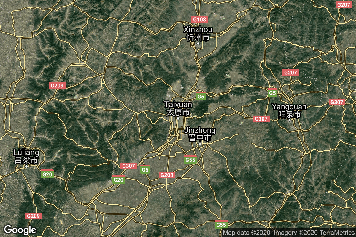
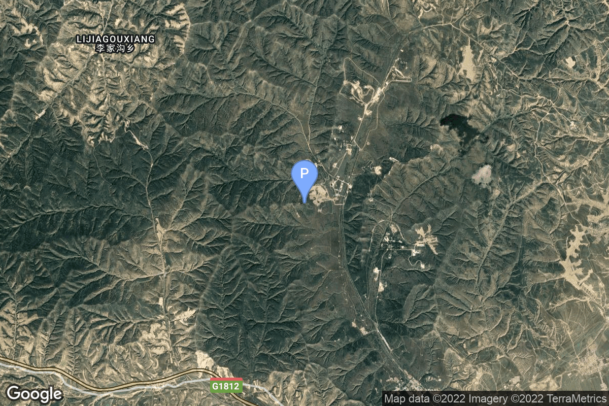
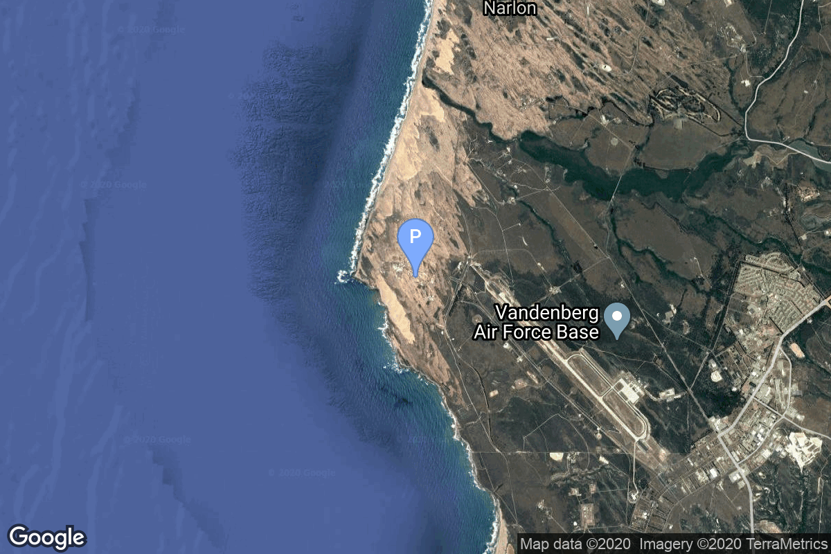
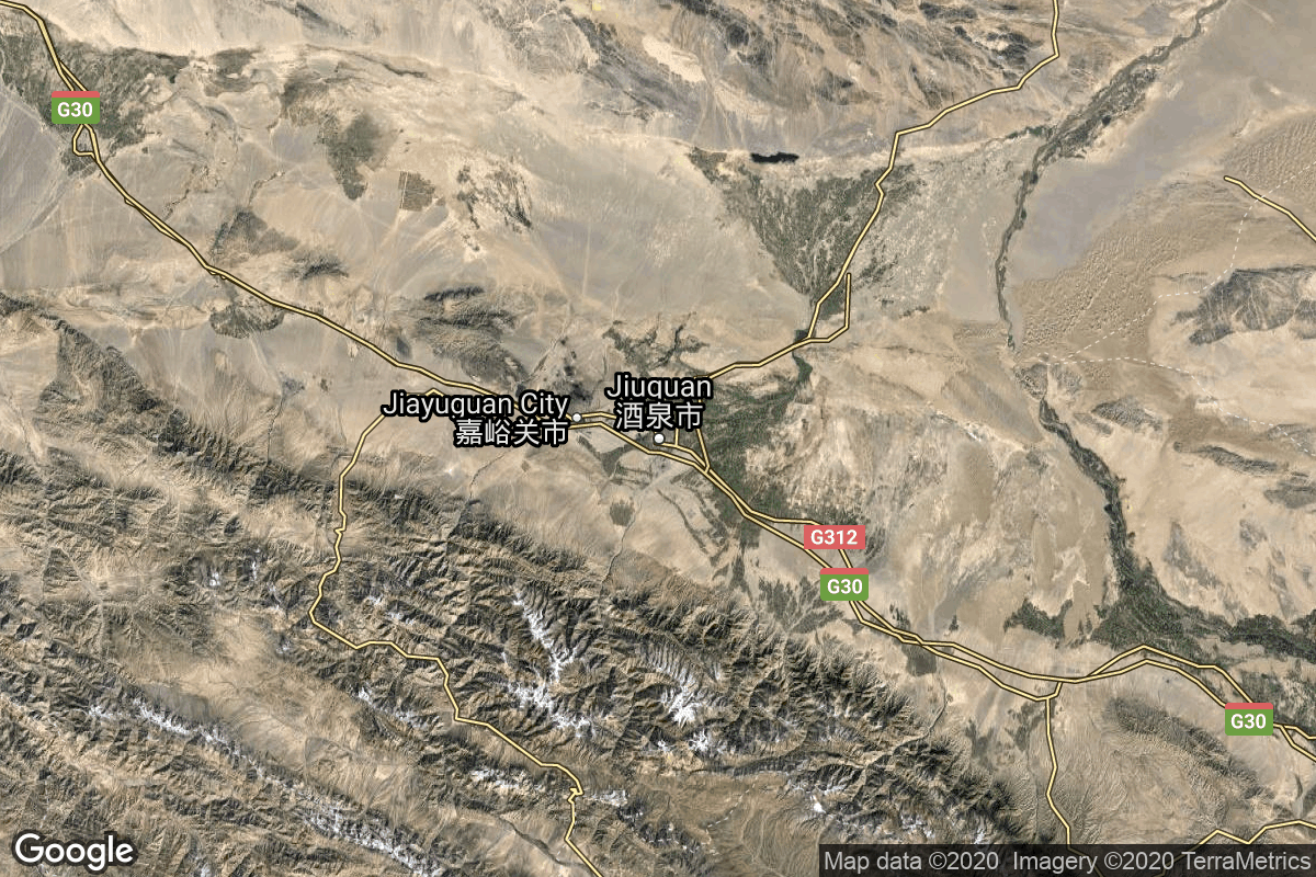
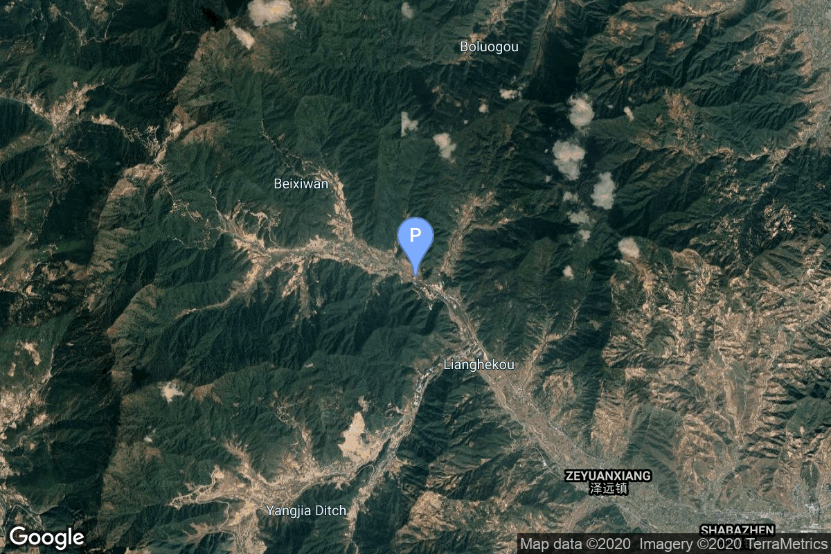
{ "count": 7675, "next": "https://lldev.thespacedevs.com/2.0.0/launch/previous/?format=api&limit=10&offset=7470&ordering=id", "previous": "https://lldev.thespacedevs.com/2.0.0/launch/previous/?format=api&limit=10&offset=7450&ordering=id", "results": [ { "id": "f84d9ca6-e76c-4717-ad27-b927a93f5cdc", "url": "https://lldev.thespacedevs.com/2.0.0/launch/f84d9ca6-e76c-4717-ad27-b927a93f5cdc/?format=api", "launch_library_id": null, "slug": "molniya-m-molniya-1-8", "name": "Molniya-M | Molniya-1 8", "status": { "id": 3, "name": "Success" }, "net": "1968-04-21T04:20:01Z", "window_end": "1968-04-21T04:20:01Z", "window_start": "1968-04-21T04:20:01Z", "inhold": false, "tbdtime": false, "tbddate": false, "probability": null, "holdreason": "", "failreason": null, "hashtag": null, "launch_service_provider": { "id": 66, "url": "https://lldev.thespacedevs.com/2.0.0/agencies/66/?format=api", "name": "Soviet Space Program", "type": "Government" }, "rocket": { "id": 3774, "configuration": { "id": 106, "launch_library_id": 126, "url": "https://lldev.thespacedevs.com/2.0.0/config/launcher/106/?format=api", "name": "Molniya-M", "family": "R-7", "full_name": "Molniya-M 2BL", "variant": "2BL" } }, "mission": { "id": 2192, "launch_library_id": null, "name": "Molniya-1 8", "description": "The Molniya were Soviet communication satellites operating from an inclined highly elliptical earth orbit of 500 km × 40000 km with 12 hour period for coverage of high northern latitudes.", "launch_designator": null, "type": "Communications", "orbit": { "id": 0, "name": "Elliptical Orbit", "abbrev": "Elliptical" } }, "pad": { "id": 32, "url": "https://lldev.thespacedevs.com/2.0.0/pad/32/?format=api", "agency_id": null, "name": "1/5", "info_url": null, "wiki_url": "", "map_url": "https://www.google.com/maps?q=45.92,63.342", "latitude": "45.92", "longitude": "63.342", "location": { "id": 15, "url": "https://lldev.thespacedevs.com/2.0.0/location/15/?format=api", "name": "Baikonur Cosmodrome, Republic of Kazakhstan", "country_code": "KAZ", "map_image": "https://thespacedevs-dev.nyc3.digitaloceanspaces.com/media/map_images/location_15_20200803142517.jpg", "total_launch_count": 1565, "total_landing_count": 0 }, "map_image": "https://thespacedevs-dev.nyc3.digitaloceanspaces.com/media/map_images/pad_32_20200803143513.jpg", "total_launch_count": 487 }, "webcast_live": false, "image": "https://thespacedevs-dev.nyc3.digitaloceanspaces.com/media/images/molniya_m_image_20251102061752.jpg", "infographic": null, "program": [] }, { "id": "f85a8abb-e9d9-4df2-beac-01233c515ef6", "url": "https://lldev.thespacedevs.com/2.0.0/launch/f85a8abb-e9d9-4df2-beac-01233c515ef6/?format=api", "launch_library_id": null, "slug": "titan-ivb-milstar-5", "name": "Titan IVB | Milstar 5", "status": { "id": 3, "name": "Success" }, "net": "2002-01-16T00:30:01Z", "window_end": "2002-01-16T00:30:01Z", "window_start": "2002-01-16T00:30:01Z", "inhold": false, "tbdtime": false, "tbddate": false, "probability": null, "holdreason": "", "failreason": null, "hashtag": null, "launch_service_provider": { "id": 161, "url": "https://lldev.thespacedevs.com/2.0.0/agencies/161/?format=api", "name": "United States Air Force", "type": "Government" }, "rocket": { "id": 7072, "configuration": { "id": 130, "launch_library_id": 162, "url": "https://lldev.thespacedevs.com/2.0.0/config/launcher/130/?format=api", "name": "Titan IVB", "family": "Titan", "full_name": "Titan IVB/Centaur", "variant": "Centaur" } }, "mission": { "id": 5461, "launch_library_id": null, "name": "Milstar 5", "description": "Milstar (Military Strategic & Tactical Relay) is the tactical and strategic multiservice satellite system designed to provide survivable communications for U.S. forces worldwide. The program is managed by the U.S. Air Force Space and Missile Center.", "launch_designator": null, "type": "Communications", "orbit": { "id": 3, "name": "Geosynchronous Orbit", "abbrev": "GSO" } }, "pad": { "id": 80, "url": "https://lldev.thespacedevs.com/2.0.0/pad/80/?format=api", "agency_id": 121, "name": "Space Launch Complex 40", "info_url": null, "wiki_url": "https://en.wikipedia.org/wiki/Cape_Canaveral_Air_Force_Station_Space_Launch_Complex_40", "map_url": "https://www.google.com/maps?q=28.56194122,-80.57735736", "latitude": "28.56194122", "longitude": "-80.57735736", "location": { "id": 12, "url": "https://lldev.thespacedevs.com/2.0.0/location/12/?format=api", "name": "Cape Canaveral SFS, FL, USA", "country_code": "USA", "map_image": "https://thespacedevs-dev.nyc3.digitaloceanspaces.com/media/map_images/location_12_20200803142519.jpg", "total_launch_count": 1132, "total_landing_count": 83 }, "map_image": "https://thespacedevs-dev.nyc3.digitaloceanspaces.com/media/map_images/pad_80_20200803143323.jpg", "total_launch_count": 404 }, "webcast_live": false, "image": "https://thespacedevs-dev.nyc3.digitaloceanspaces.com/media/images/titan2520ivb_image_20190222030244.jpeg", "infographic": null, "program": [] }, { "id": "f8669ce4-3e68-4318-85a9-36a7551089a1", "url": "https://lldev.thespacedevs.com/2.0.0/launch/f8669ce4-3e68-4318-85a9-36a7551089a1/?format=api", "launch_library_id": null, "slug": "vostok-8a92-zenit-2-42", "name": "Vostok 8A92 | Zenit-2 42", "status": { "id": 3, "name": "Success" }, "net": "1966-10-14T12:13:08Z", "window_end": "1966-10-14T12:13:08Z", "window_start": "1966-10-14T12:13:08Z", "inhold": false, "tbdtime": false, "tbddate": false, "probability": null, "holdreason": "", "failreason": null, "hashtag": null, "launch_service_provider": { "id": 66, "url": "https://lldev.thespacedevs.com/2.0.0/agencies/66/?format=api", "name": "Soviet Space Program", "type": "Government" }, "rocket": { "id": 3580, "configuration": { "id": 451, "launch_library_id": null, "url": "https://lldev.thespacedevs.com/2.0.0/config/launcher/451/?format=api", "name": "Vostok 8A92", "family": "Vostok", "full_name": "Vostok 8A92", "variant": "8A92" } }, "mission": { "id": 1999, "launch_library_id": null, "name": "Zenit-2 42", "description": "Zenit-2 film-return and ELINT reconnaissance satellite.", "launch_designator": null, "type": "Government/Top Secret", "orbit": { "id": 8, "name": "Low Earth Orbit", "abbrev": "LEO" } }, "pad": { "id": 168, "url": "https://lldev.thespacedevs.com/2.0.0/pad/168/?format=api", "agency_id": null, "name": "41/1", "info_url": null, "wiki_url": "https://en.wikipedia.org/wiki/Plesetsk_Cosmodrome", "map_url": "https://www.google.com/maps?q=62.941,40.526806", "latitude": "62.941", "longitude": "40.526806", "location": { "id": 6, "url": "https://lldev.thespacedevs.com/2.0.0/location/6/?format=api", "name": "Plesetsk Cosmodrome, Russian Federation", "country_code": "RUS", "map_image": "https://thespacedevs-dev.nyc3.digitaloceanspaces.com/media/map_images/location_6_20200803142434.jpg", "total_launch_count": 1689, "total_landing_count": 0 }, "map_image": "https://thespacedevs-dev.nyc3.digitaloceanspaces.com/media/map_images/pad_168_20200803143446.jpg", "total_launch_count": 310 }, "webcast_live": false, "image": "https://thespacedevs-dev.nyc3.digitaloceanspaces.com/media/images/vostok_launch_v_image_20251119053730.jpg", "infographic": null, "program": [] }, { "id": "f873679f-9175-4131-a475-85a25394d4e4", "url": "https://lldev.thespacedevs.com/2.0.0/launch/f873679f-9175-4131-a475-85a25394d4e4/?format=api", "launch_library_id": null, "slug": "molniya-m-us-k-36", "name": "Molniya-M | US-K 36", "status": { "id": 3, "name": "Success" }, "net": "1984-08-02T08:38:16Z", "window_end": "1984-08-02T08:38:16Z", "window_start": "1984-08-02T08:38:16Z", "inhold": false, "tbdtime": false, "tbddate": false, "probability": null, "holdreason": "", "failreason": null, "hashtag": null, "launch_service_provider": { "id": 66, "url": "https://lldev.thespacedevs.com/2.0.0/agencies/66/?format=api", "name": "Soviet Space Program", "type": "Government" }, "rocket": { "id": 5663, "configuration": { "id": 106, "launch_library_id": 126, "url": "https://lldev.thespacedevs.com/2.0.0/config/launcher/106/?format=api", "name": "Molniya-M", "family": "R-7", "full_name": "Molniya-M 2BL", "variant": "2BL" } }, "mission": { "id": 4065, "launch_library_id": null, "name": "US-K 36", "description": "Early warning satellite", "launch_designator": null, "type": "Government/Top Secret", "orbit": { "id": 0, "name": "Elliptical Orbit", "abbrev": "Elliptical" } }, "pad": { "id": 35, "url": "https://lldev.thespacedevs.com/2.0.0/pad/35/?format=api", "agency_id": 163, "name": "16/2", "info_url": null, "wiki_url": "", "map_url": "https://www.google.com/maps?q=62.960091,40.682983", "latitude": "62.960091", "longitude": "40.682983", "location": { "id": 6, "url": "https://lldev.thespacedevs.com/2.0.0/location/6/?format=api", "name": "Plesetsk Cosmodrome, Russian Federation", "country_code": "RUS", "map_image": "https://thespacedevs-dev.nyc3.digitaloceanspaces.com/media/map_images/location_6_20200803142434.jpg", "total_launch_count": 1689, "total_landing_count": 0 }, "map_image": "https://thespacedevs-dev.nyc3.digitaloceanspaces.com/media/map_images/pad_35_20200803143306.jpg", "total_launch_count": 136 }, "webcast_live": false, "image": "https://thespacedevs-dev.nyc3.digitaloceanspaces.com/media/images/molniya_m_image_20251102061752.jpg", "infographic": null, "program": [] }, { "id": "f8766455-2b03-4629-a36e-b931c8b4a6c5", "url": "https://lldev.thespacedevs.com/2.0.0/launch/f8766455-2b03-4629-a36e-b931c8b4a6c5/?format=api", "launch_library_id": null, "slug": "long-march-6a-yaogan-50-02", "name": "Long March 6A | Yaogan 50-02", "status": { "id": 3, "name": "Success" }, "net": "2026-03-15T13:22:00Z", "window_end": "2026-03-15T13:35:00Z", "window_start": "2026-03-15T13:14:00Z", "inhold": false, "tbdtime": false, "tbddate": false, "probability": null, "holdreason": "", "failreason": "", "hashtag": null, "launch_service_provider": { "id": 88, "url": "https://lldev.thespacedevs.com/2.0.0/agencies/88/?format=api", "name": "China Aerospace Science and Technology Corporation", "type": "Government" }, "rocket": { "id": 8935, "configuration": { "id": 478, "launch_library_id": null, "url": "https://lldev.thespacedevs.com/2.0.0/config/launcher/478/?format=api", "name": "Long March 6A", "family": "Long March", "full_name": "Long March 6A", "variant": "A" } }, "mission": { "id": 7530, "launch_library_id": null, "name": "Yaogan 50-02", "description": "The Yaogan 50-02 is a Chinese military “remote sensing” satellite of unknown purposes.", "launch_designator": null, "type": "Government/Top Secret", "orbit": { "id": 8, "name": "Low Earth Orbit", "abbrev": "LEO" } }, "pad": { "id": 200, "url": "https://lldev.thespacedevs.com/2.0.0/pad/200/?format=api", "agency_id": null, "name": "Launch Complex 9A", "info_url": null, "wiki_url": null, "map_url": "https://www.google.com/maps?q=38.8583,111.5802", "latitude": "38.8583", "longitude": "111.5802", "location": { "id": 19, "url": "https://lldev.thespacedevs.com/2.0.0/location/19/?format=api", "name": "Taiyuan Satellite Launch Center, People's Republic of China", "country_code": "CHN", "map_image": "https://thespacedevs-dev.nyc3.digitaloceanspaces.com/media/map_images/location_19_20200803142421.jpg", "total_launch_count": 163, "total_landing_count": 0 }, "map_image": "https://thespacedevs-dev.nyc3.digitaloceanspaces.com/media/map_images/pad_launch_complex_9a_20220330003717.jpg", "total_launch_count": 30 }, "webcast_live": false, "image": "https://thespacedevs-dev.nyc3.digitaloceanspaces.com/media/images/long_march_6a__image_20251209050223.jpeg", "infographic": null, "program": [] }, { "id": "f882fa67-e09c-49a9-8296-99ba83d5f561", "url": "https://lldev.thespacedevs.com/2.0.0/launch/f882fa67-e09c-49a9-8296-99ba83d5f561/?format=api", "launch_library_id": null, "slug": "delta-5920-8-cobe", "name": "Delta 5920-8 | COBE", "status": { "id": 3, "name": "Success" }, "net": "1989-11-18T14:34:00Z", "window_end": "1989-11-18T14:34:00Z", "window_start": "1989-11-18T14:34:00Z", "inhold": false, "tbdtime": false, "tbddate": false, "probability": null, "holdreason": "", "failreason": null, "hashtag": null, "launch_service_provider": { "id": 161, "url": "https://lldev.thespacedevs.com/2.0.0/agencies/161/?format=api", "name": "United States Air Force", "type": "Government" }, "rocket": { "id": 6221, "configuration": { "id": 297, "launch_library_id": null, "url": "https://lldev.thespacedevs.com/2.0.0/config/launcher/297/?format=api", "name": "Delta 5920-8", "family": "Delta", "full_name": "Delta 5920-8", "variant": "5920-8" } }, "mission": { "id": 4611, "launch_library_id": null, "name": "COBE", "description": "Cosmology research satellite", "launch_designator": null, "type": "Astrophysics", "orbit": { "id": 8, "name": "Low Earth Orbit", "abbrev": "LEO" } }, "pad": { "id": 39, "url": "https://lldev.thespacedevs.com/2.0.0/pad/39/?format=api", "agency_id": null, "name": "Space Launch Complex 2W", "info_url": null, "wiki_url": "https://en.wikipedia.org/wiki/Vandenberg_Space_Launch_Complex_2", "map_url": "https://www.google.com/maps?q=34.7556,-120.6224", "latitude": "34.7556", "longitude": "-120.6224", "location": { "id": 11, "url": "https://lldev.thespacedevs.com/2.0.0/location/11/?format=api", "name": "Vandenberg SFB, CA, USA", "country_code": "USA", "map_image": "https://thespacedevs-dev.nyc3.digitaloceanspaces.com/media/map_images/location_11_20200803142416.jpg", "total_launch_count": 924, "total_landing_count": 37 }, "map_image": "https://thespacedevs-dev.nyc3.digitaloceanspaces.com/media/map_images/pad_39_20200803143542.jpg", "total_launch_count": 99 }, "webcast_live": false, "image": "https://thespacedevs-dev.nyc3.digitaloceanspaces.com/media/images/delta-5920_252_image_20251118091454.png", "infographic": null, "program": [] }, { "id": "f889bd5e-6cf9-4189-9912-d978a6f7b0fe", "url": "https://lldev.thespacedevs.com/2.0.0/launch/f889bd5e-6cf9-4189-9912-d978a6f7b0fe/?format=api", "launch_library_id": null, "slug": "atlas-able-p-3", "name": "Atlas-Able | P-3", "status": { "id": 4, "name": "Failure" }, "net": "1959-11-26T07:26:00Z", "window_end": "1959-11-26T07:26:00Z", "window_start": "1959-11-26T07:26:00Z", "inhold": false, "tbdtime": false, "tbddate": false, "probability": null, "holdreason": "", "failreason": null, "hashtag": null, "launch_service_provider": { "id": 161, "url": "https://lldev.thespacedevs.com/2.0.0/agencies/161/?format=api", "name": "United States Air Force", "type": "Government" }, "rocket": { "id": 3056, "configuration": { "id": 230, "launch_library_id": null, "url": "https://lldev.thespacedevs.com/2.0.0/config/launcher/230/?format=api", "name": "Atlas-Able", "family": "Atlas", "full_name": "Atlas-Able", "variant": "" } }, "mission": { "id": 1478, "launch_library_id": null, "name": "P-3", "description": "The Pioneer P-1, -3, -30 and -31 series was intended to be a lunar orbiter probe, but the mission failed shortly after launch. The objectives were to place a highly instrumented probe in lunar orbit, to investigate the environment between the Earth and Moon, and to develop technology for controlling and maneuvering spacecraft from Earth.", "launch_designator": null, "type": "Lunar Exploration", "orbit": { "id": 11, "name": "Lunar Orbit", "abbrev": "LO" } }, "pad": { "id": 17, "url": "https://lldev.thespacedevs.com/2.0.0/pad/17/?format=api", "agency_id": 1048, "name": "Space Launch Complex 14", "info_url": null, "wiki_url": "https://en.wikipedia.org/wiki/Cape_Canaveral_Air_Force_Station_Launch_Complex_14", "map_url": "https://www.google.com/maps?q=28.49103,-80.54687", "latitude": "28.49103", "longitude": "-80.54687", "location": { "id": 12, "url": "https://lldev.thespacedevs.com/2.0.0/location/12/?format=api", "name": "Cape Canaveral SFS, FL, USA", "country_code": "USA", "map_image": "https://thespacedevs-dev.nyc3.digitaloceanspaces.com/media/map_images/location_12_20200803142519.jpg", "total_launch_count": 1132, "total_landing_count": 83 }, "map_image": "https://thespacedevs-dev.nyc3.digitaloceanspaces.com/media/map_images/pad_17_20200803143405.jpg", "total_launch_count": 20 }, "webcast_live": false, "image": "https://thespacedevs-dev.nyc3.digitaloceanspaces.com/media/images/atlas-d_able_on_image_20240411161010.jpeg", "infographic": null, "program": [] }, { "id": "f88c4d51-e65a-4c58-bf53-291ad8c2bbfc", "url": "https://lldev.thespacedevs.com/2.0.0/launch/f88c4d51-e65a-4c58-bf53-291ad8c2bbfc/?format=api", "launch_library_id": null, "slug": "ceres-1-3-satellites", "name": "Ceres-1 | 3 satellites", "status": { "id": 3, "name": "Success" }, "net": "2024-06-06T05:00:00Z", "window_end": "2024-06-06T05:38:00Z", "window_start": "2024-06-06T04:50:00Z", "inhold": false, "tbdtime": false, "tbddate": false, "probability": null, "holdreason": "", "failreason": "", "hashtag": null, "launch_service_provider": { "id": 1021, "url": "https://lldev.thespacedevs.com/2.0.0/agencies/1021/?format=api", "name": "Galactic Energy", "type": "Commercial" }, "rocket": { "id": 8257, "configuration": { "id": 461, "launch_library_id": null, "url": "https://lldev.thespacedevs.com/2.0.0/config/launcher/461/?format=api", "name": "Ceres-1", "family": "Ceres-1", "full_name": "Ceres-1", "variant": "Ceres-1" } }, "mission": { "id": 6838, "launch_library_id": null, "name": "3 satellites", "description": "Carried 3 satellites to polar orbit, details TBD:\r\n\r\n* TEE-01B\r\n*Naxing-3A/B", "launch_designator": null, "type": "Earth Science", "orbit": { "id": 17, "name": "Sun-Synchronous Orbit", "abbrev": "SSO" } }, "pad": { "id": 21, "url": "https://lldev.thespacedevs.com/2.0.0/pad/21/?format=api", "agency_id": null, "name": "Launch Area 95A", "info_url": null, "wiki_url": "https://en.wikipedia.org/wiki/Jiuquan_Satellite_Launch_Center", "map_url": "https://www.google.com/maps?q=40.969117,100.343333", "latitude": "40.969117", "longitude": "100.343333", "location": { "id": 17, "url": "https://lldev.thespacedevs.com/2.0.0/location/17/?format=api", "name": "Jiuquan Satellite Launch Center, People's Republic of China", "country_code": "CHN", "map_image": "https://thespacedevs-dev.nyc3.digitaloceanspaces.com/media/map_images/location_17_20200803142429.jpg", "total_launch_count": 303, "total_landing_count": 3 }, "map_image": "https://thespacedevs-dev.nyc3.digitaloceanspaces.com/media/map_images/pad_21_20200803143253.jpg", "total_launch_count": 69 }, "webcast_live": false, "image": "https://thespacedevs-dev.nyc3.digitaloceanspaces.com/media/images/ceres-1_image_20230722081939.jpeg", "infographic": null, "program": [] }, { "id": "f8a96988-9ba4-4480-84c4-496492e67e23", "url": "https://lldev.thespacedevs.com/2.0.0/launch/f8a96988-9ba4-4480-84c4-496492e67e23/?format=api", "launch_library_id": 1404, "slug": "atlas-v-401-landsat-9", "name": "Atlas V 401 | Landsat 9", "status": { "id": 3, "name": "Success" }, "net": "2021-09-27T18:12:00Z", "window_end": "2021-09-27T18:42:00Z", "window_start": "2021-09-27T18:12:00Z", "inhold": false, "tbdtime": false, "tbddate": false, "probability": 90, "holdreason": "", "failreason": "", "hashtag": null, "launch_service_provider": { "id": 124, "url": "https://lldev.thespacedevs.com/2.0.0/agencies/124/?format=api", "name": "United Launch Alliance", "type": "Commercial" }, "rocket": { "id": 166, "configuration": { "id": 16, "launch_library_id": 26, "url": "https://lldev.thespacedevs.com/2.0.0/config/launcher/16/?format=api", "name": "Atlas V 401", "family": "Atlas", "full_name": "Atlas V 401", "variant": "401" } }, "mission": { "id": 464, "launch_library_id": 620, "name": "Landsat 9", "description": "Landsat 9 is a partnership between NASA and the U.S. Geological Survey to continue the Landsat program's critical role in monitoring, understanding and managing the land resources needed to sustain human life. Landsat 9, like Landsat 8, has a higher imaging capacity than past Landsats, allowing more valuable data to be added to the Landsat global land archive. Its operational orbit is a sun-synchronous orbit at an altitude of 705 km for a mission lifetime of at least 5 years.", "launch_designator": null, "type": "Earth Science", "orbit": { "id": 17, "name": "Sun-Synchronous Orbit", "abbrev": "SSO" } }, "pad": { "id": 24, "url": "https://lldev.thespacedevs.com/2.0.0/pad/24/?format=api", "agency_id": 161, "name": "Space Launch Complex 3E", "info_url": null, "wiki_url": "https://en.wikipedia.org/wiki/Vandenberg_Space_Launch_Complex_3#SLC-3E", "map_url": "https://www.google.com/maps?q=34.64,-120.5895", "latitude": "34.64", "longitude": "-120.5895", "location": { "id": 11, "url": "https://lldev.thespacedevs.com/2.0.0/location/11/?format=api", "name": "Vandenberg SFB, CA, USA", "country_code": "USA", "map_image": "https://thespacedevs-dev.nyc3.digitaloceanspaces.com/media/map_images/location_11_20200803142416.jpg", "total_launch_count": 924, "total_landing_count": 37 }, "map_image": "https://thespacedevs-dev.nyc3.digitaloceanspaces.com/media/map_images/pad_24_20200803143552.jpg", "total_launch_count": 48 }, "webcast_live": false, "image": "https://thespacedevs-dev.nyc3.digitaloceanspaces.com/media/images/atlas_v_image_20201212013334.jpeg", "infographic": null, "program": [ { "id": 31, "url": "https://lldev.thespacedevs.com/2.0.0/program/31/?format=api", "name": "Landsat", "description": "The Landsat program is the longest-running enterprise for acquisition of satellite imagery of Earth. It is a joint NASA / USGS program.", "agencies": [ { "id": 44, "url": "https://lldev.thespacedevs.com/2.0.0/agencies/44/?format=api", "name": "National Aeronautics and Space Administration", "type": "Government" } ], "image_url": "https://thespacedevs-dev.nyc3.digitaloceanspaces.com/media/images/landsat_program_20231230154736.jpeg", "start_date": "1972-07-23T00:00:00Z", "end_date": null, "info_url": null, "wiki_url": "https://en.wikipedia.org/wiki/Landsat_program" } ] }, { "id": "f8abfe3e-a2d1-4010-8f53-29c7d3999186", "url": "https://lldev.thespacedevs.com/2.0.0/launch/f8abfe3e-a2d1-4010-8f53-29c7d3999186/?format=api", "launch_library_id": null, "slug": "ariane-44l-eutelsat-w2-sirius-3", "name": "Ariane 44L | Eutelsat W2 & Sirius 3", "status": { "id": 3, "name": "Success" }, "net": "1998-10-05T22:51:00Z", "window_end": "1998-10-05T22:51:00Z", "window_start": "1998-10-05T22:51:00Z", "inhold": false, "tbdtime": false, "tbddate": false, "probability": null, "holdreason": "", "failreason": null, "hashtag": null, "launch_service_provider": { "id": 115, "url": "https://lldev.thespacedevs.com/2.0.0/agencies/115/?format=api", "name": "Arianespace", "type": "Commercial" }, "rocket": { "id": 6881, "configuration": { "id": 225, "launch_library_id": null, "url": "https://lldev.thespacedevs.com/2.0.0/config/launcher/225/?format=api", "name": "Ariane 44L", "family": "Ariane", "full_name": "Ariane 44L", "variant": "44L" } }, "mission": { "id": 5271, "launch_library_id": null, "name": "Eutelsat W2 & Sirius 3", "description": "The W satellites are designed to provide telecommunications services primarily over Europe (Eutelsat W2, W3 and W5) and communication services over Russia and Africa (W4). W2, W3 and W5 are designed to offer 24 transponders at saturation and W4 is designed to provide 31 transponders at saturation. The W satellites have a minimum operational lifetime of 12 years. The spacecraft are based on the Spacebus-3000B2 platform. Sirius 3 provides direct-to-home television services to the Scandinavian region. Hughes upgraded NSAB's satellite control center at Esrange, Kiruna, and provided training to the satellite controllers. Sirius 3 was successfully launched on an Ariane-44L H10-3 on October 5, 1998. The satellite was built at the Integrated Satellite Factory of in El Segundo, Calif.", "launch_designator": null, "type": "Communications", "orbit": { "id": 1, "name": "Geostationary Orbit", "abbrev": "Direct-GEO" } }, "pad": { "id": 124, "url": "https://lldev.thespacedevs.com/2.0.0/pad/124/?format=api", "agency_id": 115, "name": "Ariane Launch Area 2", "info_url": null, "wiki_url": "https://en.wikipedia.org/wiki/ELA-2", "map_url": "https://www.google.com/maps?q=5.232,-52.778194", "latitude": "5.232", "longitude": "-52.778194", "location": { "id": 13, "url": "https://lldev.thespacedevs.com/2.0.0/location/13/?format=api", "name": "Guiana Space Centre, French Guiana", "country_code": "GUF", "map_image": "https://thespacedevs-dev.nyc3.digitaloceanspaces.com/media/map_images/location_13_20200803142412.jpg", "total_launch_count": 336, "total_landing_count": 0 }, "map_image": "https://thespacedevs-dev.nyc3.digitaloceanspaces.com/media/map_images/pad_124_20200803143241.jpg", "total_launch_count": 119 }, "webcast_live": false, "image": "https://thespacedevs-dev.nyc3.digitaloceanspaces.com/media/images/ariane_44l_at_e_image_20240401082337.jpg", "infographic": null, "program": [] } ] }