Previous Launch List
API endpoint that returns previous Launch objects.
GET: Return a list of previous Launches
FILTERS: Fields - 'name', 'id(s)', 'lsp_id', 'lsp_name', 'launcher_config__id',
MODE: 'normal', 'list', 'detailed' EXAMPLE: ?mode=list
SEARCH: Searches through the launch name, rocket name, launch agency and mission name. EXAMPLE - ?search=SpaceX
GET /2.0.0/launch/previous/?format=api&offset=7230&ordering=-name
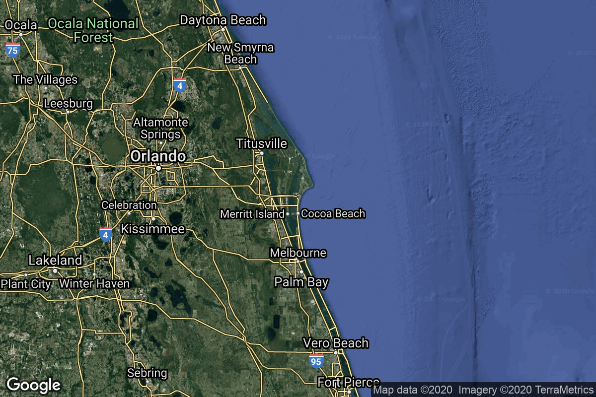
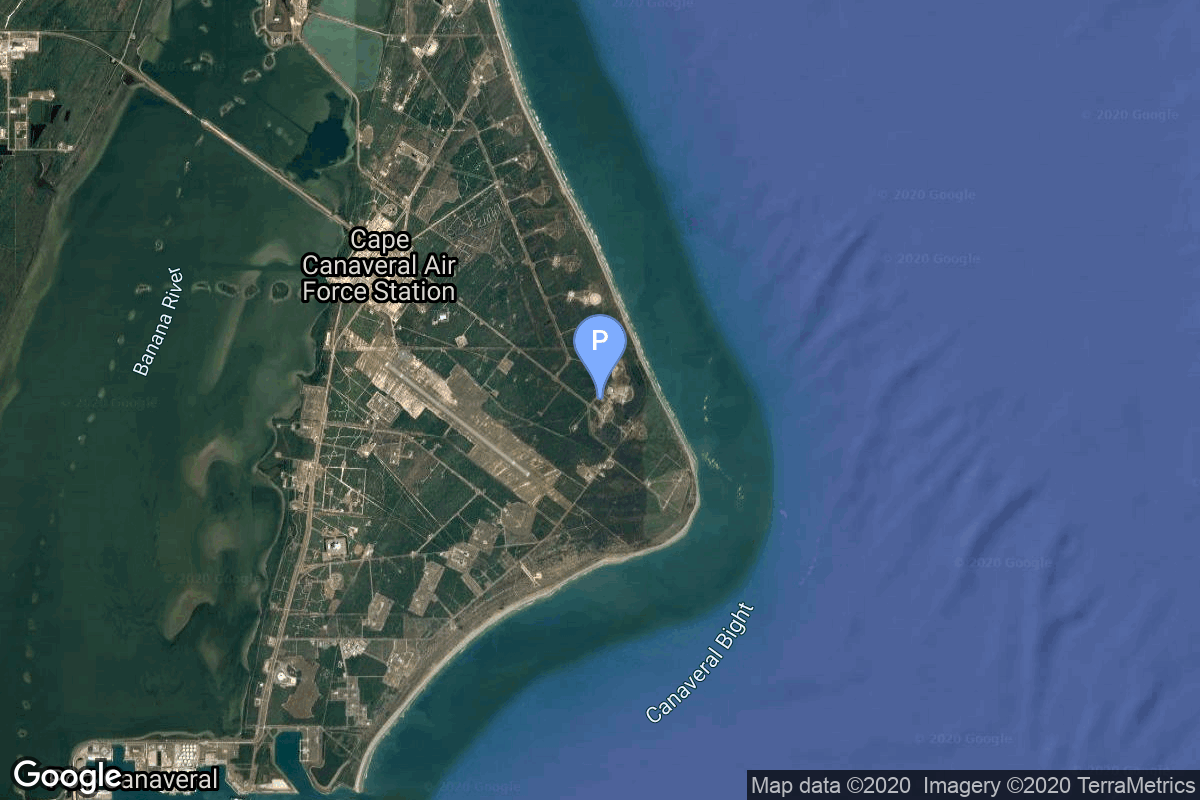
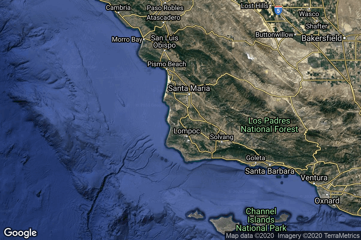
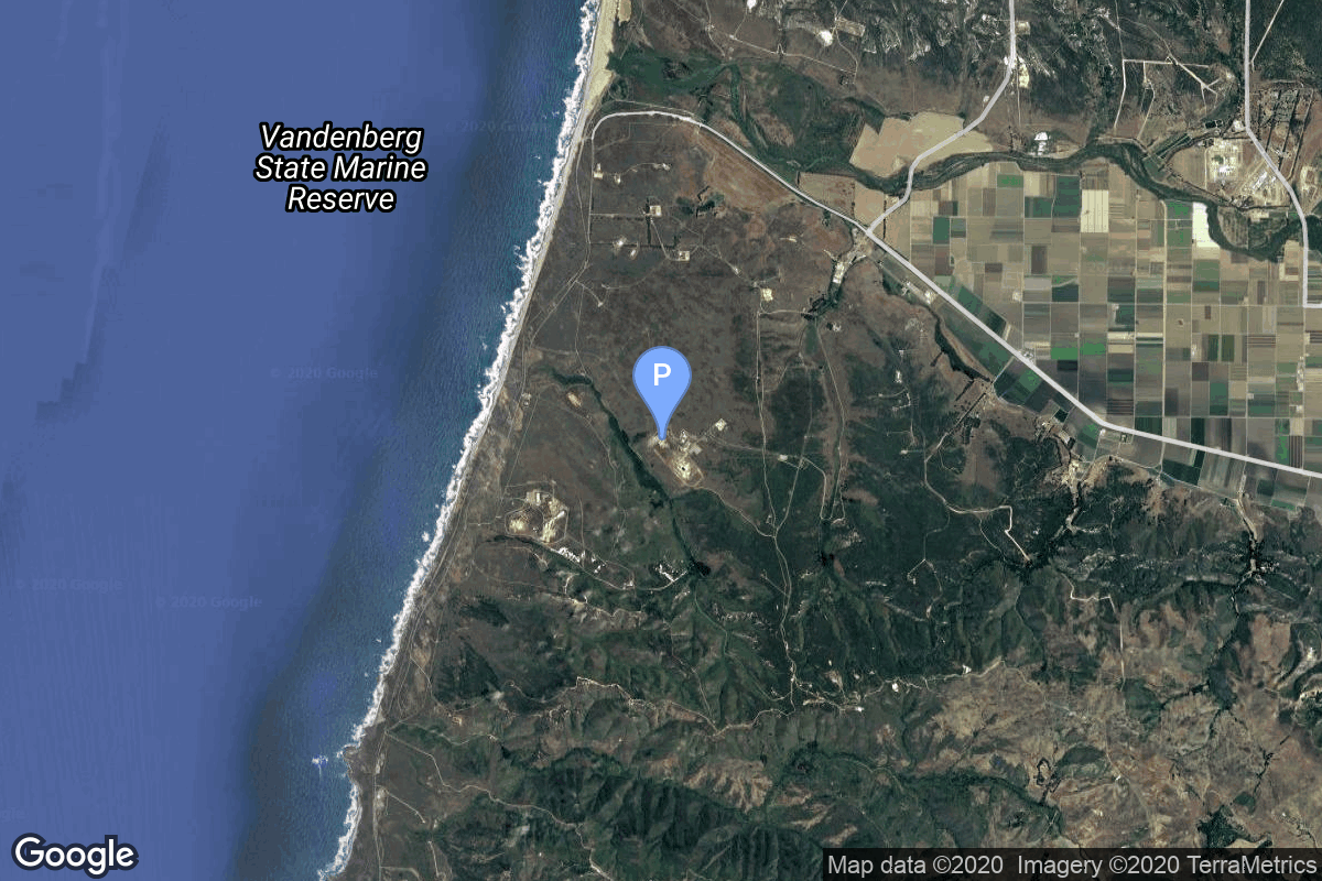
{ "count": 7675, "next": "https://lldev.thespacedevs.com/2.0.0/launch/previous/?format=api&limit=10&offset=7240&ordering=-name", "previous": "https://lldev.thespacedevs.com/2.0.0/launch/previous/?format=api&limit=10&offset=7220&ordering=-name", "results": [ { "id": "6d4bbfad-eb2a-4626-b62f-65cf4f8accb4", "url": "https://lldev.thespacedevs.com/2.0.0/launch/6d4bbfad-eb2a-4626-b62f-65cf4f8accb4/?format=api", "launch_library_id": null, "slug": "atlas-g-centaur-intelsat-510", "name": "Atlas G Centaur | Intelsat 510", "status": { "id": 3, "name": "Success" }, "net": "1985-03-22T23:55:00Z", "window_end": "1985-03-22T23:55:00Z", "window_start": "1985-03-22T23:55:00Z", "inhold": false, "tbdtime": false, "tbddate": false, "probability": null, "holdreason": "", "failreason": null, "hashtag": null, "launch_service_provider": { "id": 161, "url": "https://lldev.thespacedevs.com/2.0.0/agencies/161/?format=api", "name": "United States Air Force", "type": "Government" }, "rocket": { "id": 5733, "configuration": { "id": 250, "launch_library_id": null, "url": "https://lldev.thespacedevs.com/2.0.0/config/launcher/250/?format=api", "name": "Atlas G Centaur", "family": "Atlas", "full_name": "Atlas G Centaur", "variant": "G Centaur" } }, "mission": { "id": 4133, "launch_library_id": null, "name": "Intelsat 510", "description": "Geostationary communications satellite", "launch_designator": null, "type": "Communications", "orbit": { "id": 1, "name": "Geostationary Orbit", "abbrev": "Direct-GEO" } }, "pad": { "id": 122, "url": "https://lldev.thespacedevs.com/2.0.0/pad/122/?format=api", "agency_id": 161, "name": "Launch Complex 36B", "info_url": null, "wiki_url": "https://en.wikipedia.org/wiki/Cape_Canaveral_Launch_Complex_36", "map_url": "https://www.google.com/maps?q=28.4705556,-80.542194", "latitude": "28.4705556", "longitude": "-80.542194", "location": { "id": 12, "url": "https://lldev.thespacedevs.com/2.0.0/location/12/?format=api", "name": "Cape Canaveral SFS, FL, USA", "country_code": "USA", "map_image": "https://thespacedevs-dev.nyc3.digitaloceanspaces.com/media/map_images/location_12_20200803142519.jpg", "total_launch_count": 1133, "total_landing_count": 83 }, "map_image": "https://thespacedevs-dev.nyc3.digitaloceanspaces.com/media/map_images/pad_122_20200803143232.jpg", "total_launch_count": 76 }, "webcast_live": false, "image": "https://thespacedevs-dev.nyc3.digitaloceanspaces.com/media/images/launch_of_an_at_image_20251205044820.jpg", "infographic": null, "program": [] }, { "id": "bd9d4718-8c73-422f-8357-ecc4a13d2b74", "url": "https://lldev.thespacedevs.com/2.0.0/launch/bd9d4718-8c73-422f-8357-ecc4a13d2b74/?format=api", "launch_library_id": null, "slug": "atlas-g-centaur-intelsat-509", "name": "Atlas G Centaur | Intelsat 509", "status": { "id": 3, "name": "Success" }, "net": "1984-06-09T23:03:00Z", "window_end": "1984-06-09T23:03:00Z", "window_start": "1984-06-09T23:03:00Z", "inhold": false, "tbdtime": false, "tbddate": false, "probability": null, "holdreason": "", "failreason": null, "hashtag": null, "launch_service_provider": { "id": 161, "url": "https://lldev.thespacedevs.com/2.0.0/agencies/161/?format=api", "name": "United States Air Force", "type": "Government" }, "rocket": { "id": 5642, "configuration": { "id": 250, "launch_library_id": null, "url": "https://lldev.thespacedevs.com/2.0.0/config/launcher/250/?format=api", "name": "Atlas G Centaur", "family": "Atlas", "full_name": "Atlas G Centaur", "variant": "G Centaur" } }, "mission": { "id": 4044, "launch_library_id": null, "name": "Intelsat 509", "description": "Geostationary communications satellite", "launch_designator": null, "type": "Communications", "orbit": { "id": 1, "name": "Geostationary Orbit", "abbrev": "Direct-GEO" } }, "pad": { "id": 122, "url": "https://lldev.thespacedevs.com/2.0.0/pad/122/?format=api", "agency_id": 161, "name": "Launch Complex 36B", "info_url": null, "wiki_url": "https://en.wikipedia.org/wiki/Cape_Canaveral_Launch_Complex_36", "map_url": "https://www.google.com/maps?q=28.4705556,-80.542194", "latitude": "28.4705556", "longitude": "-80.542194", "location": { "id": 12, "url": "https://lldev.thespacedevs.com/2.0.0/location/12/?format=api", "name": "Cape Canaveral SFS, FL, USA", "country_code": "USA", "map_image": "https://thespacedevs-dev.nyc3.digitaloceanspaces.com/media/map_images/location_12_20200803142519.jpg", "total_launch_count": 1133, "total_landing_count": 83 }, "map_image": "https://thespacedevs-dev.nyc3.digitaloceanspaces.com/media/map_images/pad_122_20200803143232.jpg", "total_launch_count": 76 }, "webcast_live": false, "image": "https://thespacedevs-dev.nyc3.digitaloceanspaces.com/media/images/launch_of_an_at_image_20251205044820.jpg", "infographic": null, "program": [] }, { "id": "7f60a519-bcf8-420e-b460-993d605cb819", "url": "https://lldev.thespacedevs.com/2.0.0/launch/7f60a519-bcf8-420e-b460-993d605cb819/?format=api", "launch_library_id": null, "slug": "atlas-g-centaur-fltsatcom-f8", "name": "Atlas G Centaur | FLTSATCOM F8", "status": { "id": 3, "name": "Success" }, "net": "1989-09-25T08:56:02Z", "window_end": "1989-09-25T08:56:02Z", "window_start": "1989-09-25T08:56:02Z", "inhold": false, "tbdtime": false, "tbddate": false, "probability": null, "holdreason": "", "failreason": null, "hashtag": null, "launch_service_provider": { "id": 161, "url": "https://lldev.thespacedevs.com/2.0.0/agencies/161/?format=api", "name": "United States Air Force", "type": "Government" }, "rocket": { "id": 6210, "configuration": { "id": 250, "launch_library_id": null, "url": "https://lldev.thespacedevs.com/2.0.0/config/launcher/250/?format=api", "name": "Atlas G Centaur", "family": "Atlas", "full_name": "Atlas G Centaur", "variant": "G Centaur" } }, "mission": { "id": 4600, "launch_library_id": null, "name": "FLTSATCOM F8", "description": "Military geostationary communications satellite", "launch_designator": null, "type": "Communications", "orbit": { "id": 1, "name": "Geostationary Orbit", "abbrev": "Direct-GEO" } }, "pad": { "id": 122, "url": "https://lldev.thespacedevs.com/2.0.0/pad/122/?format=api", "agency_id": 161, "name": "Launch Complex 36B", "info_url": null, "wiki_url": "https://en.wikipedia.org/wiki/Cape_Canaveral_Launch_Complex_36", "map_url": "https://www.google.com/maps?q=28.4705556,-80.542194", "latitude": "28.4705556", "longitude": "-80.542194", "location": { "id": 12, "url": "https://lldev.thespacedevs.com/2.0.0/location/12/?format=api", "name": "Cape Canaveral SFS, FL, USA", "country_code": "USA", "map_image": "https://thespacedevs-dev.nyc3.digitaloceanspaces.com/media/map_images/location_12_20200803142519.jpg", "total_launch_count": 1133, "total_landing_count": 83 }, "map_image": "https://thespacedevs-dev.nyc3.digitaloceanspaces.com/media/map_images/pad_122_20200803143232.jpg", "total_launch_count": 76 }, "webcast_live": false, "image": "https://thespacedevs-dev.nyc3.digitaloceanspaces.com/media/images/launch_of_an_at_image_20251205044820.jpg", "infographic": null, "program": [] }, { "id": "5f758073-8050-416c-a3eb-ec40f5334541", "url": "https://lldev.thespacedevs.com/2.0.0/launch/5f758073-8050-416c-a3eb-ec40f5334541/?format=api", "launch_library_id": null, "slug": "atlas-g-centaur-fltsatcom-f7", "name": "Atlas G Centaur | FLTSATCOM F7", "status": { "id": 3, "name": "Success" }, "net": "1986-12-05T02:30:01Z", "window_end": "1986-12-05T02:30:01Z", "window_start": "1986-12-05T02:30:01Z", "inhold": false, "tbdtime": false, "tbddate": false, "probability": null, "holdreason": "", "failreason": null, "hashtag": null, "launch_service_provider": { "id": 161, "url": "https://lldev.thespacedevs.com/2.0.0/agencies/161/?format=api", "name": "United States Air Force", "type": "Government" }, "rocket": { "id": 5918, "configuration": { "id": 250, "launch_library_id": null, "url": "https://lldev.thespacedevs.com/2.0.0/config/launcher/250/?format=api", "name": "Atlas G Centaur", "family": "Atlas", "full_name": "Atlas G Centaur", "variant": "G Centaur" } }, "mission": { "id": 4314, "launch_library_id": null, "name": "FLTSATCOM F7", "description": "Military geostationary communications satellite", "launch_designator": null, "type": "Communications", "orbit": { "id": 1, "name": "Geostationary Orbit", "abbrev": "Direct-GEO" } }, "pad": { "id": 122, "url": "https://lldev.thespacedevs.com/2.0.0/pad/122/?format=api", "agency_id": 161, "name": "Launch Complex 36B", "info_url": null, "wiki_url": "https://en.wikipedia.org/wiki/Cape_Canaveral_Launch_Complex_36", "map_url": "https://www.google.com/maps?q=28.4705556,-80.542194", "latitude": "28.4705556", "longitude": "-80.542194", "location": { "id": 12, "url": "https://lldev.thespacedevs.com/2.0.0/location/12/?format=api", "name": "Cape Canaveral SFS, FL, USA", "country_code": "USA", "map_image": "https://thespacedevs-dev.nyc3.digitaloceanspaces.com/media/map_images/location_12_20200803142519.jpg", "total_launch_count": 1133, "total_landing_count": 83 }, "map_image": "https://thespacedevs-dev.nyc3.digitaloceanspaces.com/media/map_images/pad_122_20200803143232.jpg", "total_launch_count": 76 }, "webcast_live": false, "image": "https://thespacedevs-dev.nyc3.digitaloceanspaces.com/media/images/launch_of_an_at_image_20251205044820.jpg", "infographic": null, "program": [] }, { "id": "d04b80af-e0a1-43f1-8683-284fbd2901c8", "url": "https://lldev.thespacedevs.com/2.0.0/launch/d04b80af-e0a1-43f1-8683-284fbd2901c8/?format=api", "launch_library_id": null, "slug": "atlas-g-centaur-fltsatcom-f6", "name": "Atlas G Centaur | FLTSATCOM F6", "status": { "id": 4, "name": "Failure" }, "net": "1987-03-26T21:22:00Z", "window_end": "1987-03-26T21:22:00Z", "window_start": "1987-03-26T21:22:00Z", "inhold": false, "tbdtime": false, "tbddate": false, "probability": null, "holdreason": "", "failreason": null, "hashtag": null, "launch_service_provider": { "id": 161, "url": "https://lldev.thespacedevs.com/2.0.0/agencies/161/?format=api", "name": "United States Air Force", "type": "Government" }, "rocket": { "id": 5953, "configuration": { "id": 250, "launch_library_id": null, "url": "https://lldev.thespacedevs.com/2.0.0/config/launcher/250/?format=api", "name": "Atlas G Centaur", "family": "Atlas", "full_name": "Atlas G Centaur", "variant": "G Centaur" } }, "mission": { "id": 4347, "launch_library_id": null, "name": "FLTSATCOM F6", "description": "Military geostationary communications satellite", "launch_designator": null, "type": "Communications", "orbit": { "id": 1, "name": "Geostationary Orbit", "abbrev": "Direct-GEO" } }, "pad": { "id": 122, "url": "https://lldev.thespacedevs.com/2.0.0/pad/122/?format=api", "agency_id": 161, "name": "Launch Complex 36B", "info_url": null, "wiki_url": "https://en.wikipedia.org/wiki/Cape_Canaveral_Launch_Complex_36", "map_url": "https://www.google.com/maps?q=28.4705556,-80.542194", "latitude": "28.4705556", "longitude": "-80.542194", "location": { "id": 12, "url": "https://lldev.thespacedevs.com/2.0.0/location/12/?format=api", "name": "Cape Canaveral SFS, FL, USA", "country_code": "USA", "map_image": "https://thespacedevs-dev.nyc3.digitaloceanspaces.com/media/map_images/location_12_20200803142519.jpg", "total_launch_count": 1133, "total_landing_count": 83 }, "map_image": "https://thespacedevs-dev.nyc3.digitaloceanspaces.com/media/map_images/pad_122_20200803143232.jpg", "total_launch_count": 76 }, "webcast_live": false, "image": "https://thespacedevs-dev.nyc3.digitaloceanspaces.com/media/images/launch_of_an_at_image_20251205044820.jpg", "infographic": null, "program": [] }, { "id": "2a791bd6-2ac5-41ab-9322-1d9c6b67c59c", "url": "https://lldev.thespacedevs.com/2.0.0/launch/2a791bd6-2ac5-41ab-9322-1d9c6b67c59c/?format=api", "launch_library_id": null, "slug": "atlas-f-tiros-n", "name": "Atlas F | Tiros-N", "status": { "id": 3, "name": "Success" }, "net": "1978-10-13T11:23:00Z", "window_end": "1978-10-13T11:23:00Z", "window_start": "1978-10-13T11:23:00Z", "inhold": false, "tbdtime": false, "tbddate": false, "probability": null, "holdreason": "", "failreason": null, "hashtag": null, "launch_service_provider": { "id": 161, "url": "https://lldev.thespacedevs.com/2.0.0/agencies/161/?format=api", "name": "United States Air Force", "type": "Government" }, "rocket": { "id": 5004, "configuration": { "id": 244, "launch_library_id": null, "url": "https://lldev.thespacedevs.com/2.0.0/config/launcher/244/?format=api", "name": "Atlas F", "family": "Atlas", "full_name": "SM-65F Atlas", "variant": "F" } }, "mission": { "id": 3418, "launch_library_id": null, "name": "Tiros-N", "description": "Third generation LEO meteorological satellite", "launch_designator": null, "type": "Earth Science", "orbit": { "id": 17, "name": "Sun-Synchronous Orbit", "abbrev": "SSO" } }, "pad": { "id": 93, "url": "https://lldev.thespacedevs.com/2.0.0/pad/93/?format=api", "agency_id": 161, "name": "Space Launch Complex 3W", "info_url": null, "wiki_url": "https://en.wikipedia.org/wiki/Vandenberg_Space_Launch_Complex_3#SLC-3W", "map_url": "https://www.google.com/maps?q=34.644,-120.593", "latitude": "34.644", "longitude": "-120.593", "location": { "id": 11, "url": "https://lldev.thespacedevs.com/2.0.0/location/11/?format=api", "name": "Vandenberg SFB, CA, USA", "country_code": "USA", "map_image": "https://thespacedevs-dev.nyc3.digitaloceanspaces.com/media/map_images/location_11_20200803142416.jpg", "total_launch_count": 924, "total_landing_count": 37 }, "map_image": "https://thespacedevs-dev.nyc3.digitaloceanspaces.com/media/map_images/pad_93_20200803143225.jpg", "total_launch_count": 81 }, "webcast_live": false, "image": null, "infographic": null, "program": [] }, { "id": "b138d4f8-09fc-41d0-a901-aefc9546fdc5", "url": "https://lldev.thespacedevs.com/2.0.0/launch/b138d4f8-09fc-41d0-a901-aefc9546fdc5/?format=api", "launch_library_id": null, "slug": "atlas-fsvs-nts-2", "name": "Atlas F/SVS | NTS 2", "status": { "id": 3, "name": "Success" }, "net": "1977-06-23T08:17:00Z", "window_end": "1977-06-23T08:17:00Z", "window_start": "1977-06-23T08:17:00Z", "inhold": false, "tbdtime": false, "tbddate": false, "probability": null, "holdreason": "", "failreason": "", "hashtag": null, "launch_service_provider": { "id": 161, "url": "https://lldev.thespacedevs.com/2.0.0/agencies/161/?format=api", "name": "United States Air Force", "type": "Government" }, "rocket": { "id": 4843, "configuration": { "id": 249, "launch_library_id": null, "url": "https://lldev.thespacedevs.com/2.0.0/config/launcher/249/?format=api", "name": "Atlas F/SVS", "family": "Atlas", "full_name": "Atlas F/SVS", "variant": "F/SVS" } }, "mission": { "id": 3260, "launch_library_id": null, "name": "NTS 2", "description": "First NAVSTAR GPS Phase I navigation satellite", "launch_designator": null, "type": "Navigation", "orbit": { "id": 12, "name": "Medium Earth Orbit", "abbrev": "MEO" } }, "pad": { "id": 93, "url": "https://lldev.thespacedevs.com/2.0.0/pad/93/?format=api", "agency_id": 161, "name": "Space Launch Complex 3W", "info_url": null, "wiki_url": "https://en.wikipedia.org/wiki/Vandenberg_Space_Launch_Complex_3#SLC-3W", "map_url": "https://www.google.com/maps?q=34.644,-120.593", "latitude": "34.644", "longitude": "-120.593", "location": { "id": 11, "url": "https://lldev.thespacedevs.com/2.0.0/location/11/?format=api", "name": "Vandenberg SFB, CA, USA", "country_code": "USA", "map_image": "https://thespacedevs-dev.nyc3.digitaloceanspaces.com/media/map_images/location_11_20200803142416.jpg", "total_launch_count": 924, "total_landing_count": 37 }, "map_image": "https://thespacedevs-dev.nyc3.digitaloceanspaces.com/media/map_images/pad_93_20200803143225.jpg", "total_launch_count": 81 }, "webcast_live": false, "image": null, "infographic": null, "program": [ { "id": 29, "url": "https://lldev.thespacedevs.com/2.0.0/program/29/?format=api", "name": "Global Positioning System", "description": "The Global Positioning System (GPS), originally Navstar GPS, is a satellite-based radio navigation system owned by the United States government and operated by the United States Space Force. It is one of the global navigation satellite systems (GNSS) that provide geolocation and time information to a GPS receiver anywhere on or near the Earth where there is an unobstructed line of sight to four or more GPS satellites.", "agencies": [ { "id": 1041, "url": "https://lldev.thespacedevs.com/2.0.0/agencies/1041/?format=api", "name": "United States Space Force", "type": "Government" } ], "image_url": "https://thespacedevs-dev.nyc3.digitaloceanspaces.com/media/images/global2520posi_program_20231229182501.png", "start_date": "1978-02-22T00:00:00Z", "end_date": null, "info_url": "https://www.gps.gov/", "wiki_url": "https://en.wikipedia.org/wiki/Global_Positioning_System" } ] }, { "id": "fa89e3e9-2562-4e88-80dd-ba89e971cf38", "url": "https://lldev.thespacedevs.com/2.0.0/launch/fa89e3e9-2562-4e88-80dd-ba89e971cf38/?format=api", "launch_library_id": null, "slug": "atlas-fsvs-navstar-6", "name": "Atlas F/SVS | Navstar 6", "status": { "id": 3, "name": "Success" }, "net": "1980-04-26T10:00:00Z", "window_end": "1980-04-26T10:00:00Z", "window_start": "1980-04-26T10:00:00Z", "inhold": false, "tbdtime": false, "tbddate": false, "probability": null, "holdreason": "", "failreason": "", "hashtag": null, "launch_service_provider": { "id": 161, "url": "https://lldev.thespacedevs.com/2.0.0/agencies/161/?format=api", "name": "United States Air Force", "type": "Government" }, "rocket": { "id": 5166, "configuration": { "id": 249, "launch_library_id": null, "url": "https://lldev.thespacedevs.com/2.0.0/config/launcher/249/?format=api", "name": "Atlas F/SVS", "family": "Atlas", "full_name": "Atlas F/SVS", "variant": "F/SVS" } }, "mission": { "id": 3577, "launch_library_id": null, "name": "Navstar 6", "description": "First generation GPS satellite", "launch_designator": null, "type": "Navigation", "orbit": { "id": 12, "name": "Medium Earth Orbit", "abbrev": "MEO" } }, "pad": { "id": 24, "url": "https://lldev.thespacedevs.com/2.0.0/pad/24/?format=api", "agency_id": 161, "name": "Space Launch Complex 3E", "info_url": null, "wiki_url": "https://en.wikipedia.org/wiki/Vandenberg_Space_Launch_Complex_3#SLC-3E", "map_url": "https://www.google.com/maps?q=34.64,-120.5895", "latitude": "34.64", "longitude": "-120.5895", "location": { "id": 11, "url": "https://lldev.thespacedevs.com/2.0.0/location/11/?format=api", "name": "Vandenberg SFB, CA, USA", "country_code": "USA", "map_image": "https://thespacedevs-dev.nyc3.digitaloceanspaces.com/media/map_images/location_11_20200803142416.jpg", "total_launch_count": 924, "total_landing_count": 37 }, "map_image": "https://thespacedevs-dev.nyc3.digitaloceanspaces.com/media/map_images/pad_24_20200803143552.jpg", "total_launch_count": 48 }, "webcast_live": false, "image": null, "infographic": null, "program": [ { "id": 29, "url": "https://lldev.thespacedevs.com/2.0.0/program/29/?format=api", "name": "Global Positioning System", "description": "The Global Positioning System (GPS), originally Navstar GPS, is a satellite-based radio navigation system owned by the United States government and operated by the United States Space Force. It is one of the global navigation satellite systems (GNSS) that provide geolocation and time information to a GPS receiver anywhere on or near the Earth where there is an unobstructed line of sight to four or more GPS satellites.", "agencies": [ { "id": 1041, "url": "https://lldev.thespacedevs.com/2.0.0/agencies/1041/?format=api", "name": "United States Space Force", "type": "Government" } ], "image_url": "https://thespacedevs-dev.nyc3.digitaloceanspaces.com/media/images/global2520posi_program_20231229182501.png", "start_date": "1978-02-22T00:00:00Z", "end_date": null, "info_url": "https://www.gps.gov/", "wiki_url": "https://en.wikipedia.org/wiki/Global_Positioning_System" } ] }, { "id": "4f3bfec6-635a-4130-87e2-83a620e534bd", "url": "https://lldev.thespacedevs.com/2.0.0/launch/4f3bfec6-635a-4130-87e2-83a620e534bd/?format=api", "launch_library_id": null, "slug": "atlas-fsvs-navstar-5", "name": "Atlas F/SVS | Navstar 5", "status": { "id": 3, "name": "Success" }, "net": "1980-02-09T23:08:00Z", "window_end": "1980-02-09T23:08:00Z", "window_start": "1980-02-09T23:08:00Z", "inhold": false, "tbdtime": false, "tbddate": false, "probability": null, "holdreason": "", "failreason": "", "hashtag": null, "launch_service_provider": { "id": 161, "url": "https://lldev.thespacedevs.com/2.0.0/agencies/161/?format=api", "name": "United States Air Force", "type": "Government" }, "rocket": { "id": 5147, "configuration": { "id": 249, "launch_library_id": null, "url": "https://lldev.thespacedevs.com/2.0.0/config/launcher/249/?format=api", "name": "Atlas F/SVS", "family": "Atlas", "full_name": "Atlas F/SVS", "variant": "F/SVS" } }, "mission": { "id": 3558, "launch_library_id": null, "name": "Navstar 5", "description": "First generation GPS satellite", "launch_designator": null, "type": "Navigation", "orbit": { "id": 12, "name": "Medium Earth Orbit", "abbrev": "MEO" } }, "pad": { "id": 24, "url": "https://lldev.thespacedevs.com/2.0.0/pad/24/?format=api", "agency_id": 161, "name": "Space Launch Complex 3E", "info_url": null, "wiki_url": "https://en.wikipedia.org/wiki/Vandenberg_Space_Launch_Complex_3#SLC-3E", "map_url": "https://www.google.com/maps?q=34.64,-120.5895", "latitude": "34.64", "longitude": "-120.5895", "location": { "id": 11, "url": "https://lldev.thespacedevs.com/2.0.0/location/11/?format=api", "name": "Vandenberg SFB, CA, USA", "country_code": "USA", "map_image": "https://thespacedevs-dev.nyc3.digitaloceanspaces.com/media/map_images/location_11_20200803142416.jpg", "total_launch_count": 924, "total_landing_count": 37 }, "map_image": "https://thespacedevs-dev.nyc3.digitaloceanspaces.com/media/map_images/pad_24_20200803143552.jpg", "total_launch_count": 48 }, "webcast_live": false, "image": null, "infographic": null, "program": [ { "id": 29, "url": "https://lldev.thespacedevs.com/2.0.0/program/29/?format=api", "name": "Global Positioning System", "description": "The Global Positioning System (GPS), originally Navstar GPS, is a satellite-based radio navigation system owned by the United States government and operated by the United States Space Force. It is one of the global navigation satellite systems (GNSS) that provide geolocation and time information to a GPS receiver anywhere on or near the Earth where there is an unobstructed line of sight to four or more GPS satellites.", "agencies": [ { "id": 1041, "url": "https://lldev.thespacedevs.com/2.0.0/agencies/1041/?format=api", "name": "United States Space Force", "type": "Government" } ], "image_url": "https://thespacedevs-dev.nyc3.digitaloceanspaces.com/media/images/global2520posi_program_20231229182501.png", "start_date": "1978-02-22T00:00:00Z", "end_date": null, "info_url": "https://www.gps.gov/", "wiki_url": "https://en.wikipedia.org/wiki/Global_Positioning_System" } ] }, { "id": "98879866-7f9c-43b9-a24b-bce33fbe0c60", "url": "https://lldev.thespacedevs.com/2.0.0/launch/98879866-7f9c-43b9-a24b-bce33fbe0c60/?format=api", "launch_library_id": null, "slug": "atlas-fsvs-navstar-4", "name": "Atlas F/SVS | Navstar 4", "status": { "id": 3, "name": "Success" }, "net": "1978-12-11T03:59:00Z", "window_end": "1978-12-11T03:59:00Z", "window_start": "1978-12-11T03:59:00Z", "inhold": false, "tbdtime": false, "tbddate": false, "probability": null, "holdreason": "", "failreason": "", "hashtag": null, "launch_service_provider": { "id": 161, "url": "https://lldev.thespacedevs.com/2.0.0/agencies/161/?format=api", "name": "United States Air Force", "type": "Government" }, "rocket": { "id": 5021, "configuration": { "id": 249, "launch_library_id": null, "url": "https://lldev.thespacedevs.com/2.0.0/config/launcher/249/?format=api", "name": "Atlas F/SVS", "family": "Atlas", "full_name": "Atlas F/SVS", "variant": "F/SVS" } }, "mission": { "id": 3434, "launch_library_id": null, "name": "Navstar 4", "description": "First generation GPS satellite", "launch_designator": null, "type": "Navigation", "orbit": { "id": 12, "name": "Medium Earth Orbit", "abbrev": "MEO" } }, "pad": { "id": 24, "url": "https://lldev.thespacedevs.com/2.0.0/pad/24/?format=api", "agency_id": 161, "name": "Space Launch Complex 3E", "info_url": null, "wiki_url": "https://en.wikipedia.org/wiki/Vandenberg_Space_Launch_Complex_3#SLC-3E", "map_url": "https://www.google.com/maps?q=34.64,-120.5895", "latitude": "34.64", "longitude": "-120.5895", "location": { "id": 11, "url": "https://lldev.thespacedevs.com/2.0.0/location/11/?format=api", "name": "Vandenberg SFB, CA, USA", "country_code": "USA", "map_image": "https://thespacedevs-dev.nyc3.digitaloceanspaces.com/media/map_images/location_11_20200803142416.jpg", "total_launch_count": 924, "total_landing_count": 37 }, "map_image": "https://thespacedevs-dev.nyc3.digitaloceanspaces.com/media/map_images/pad_24_20200803143552.jpg", "total_launch_count": 48 }, "webcast_live": false, "image": null, "infographic": null, "program": [ { "id": 29, "url": "https://lldev.thespacedevs.com/2.0.0/program/29/?format=api", "name": "Global Positioning System", "description": "The Global Positioning System (GPS), originally Navstar GPS, is a satellite-based radio navigation system owned by the United States government and operated by the United States Space Force. It is one of the global navigation satellite systems (GNSS) that provide geolocation and time information to a GPS receiver anywhere on or near the Earth where there is an unobstructed line of sight to four or more GPS satellites.", "agencies": [ { "id": 1041, "url": "https://lldev.thespacedevs.com/2.0.0/agencies/1041/?format=api", "name": "United States Space Force", "type": "Government" } ], "image_url": "https://thespacedevs-dev.nyc3.digitaloceanspaces.com/media/images/global2520posi_program_20231229182501.png", "start_date": "1978-02-22T00:00:00Z", "end_date": null, "info_url": "https://www.gps.gov/", "wiki_url": "https://en.wikipedia.org/wiki/Global_Positioning_System" } ] } ] }