Previous Launch List
API endpoint that returns previous Launch objects.
GET: Return a list of previous Launches
FILTERS: Fields - 'name', 'id(s)', 'lsp_id', 'lsp_name', 'launcher_config__id',
MODE: 'normal', 'list', 'detailed' EXAMPLE: ?mode=list
SEARCH: Searches through the launch name, rocket name, launch agency and mission name. EXAMPLE - ?search=SpaceX
GET /2.0.0/launch/previous/?format=api&offset=30&ordering=-net
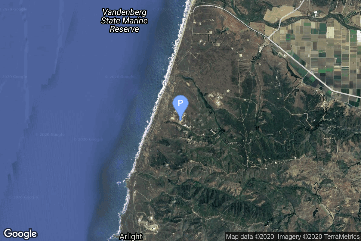
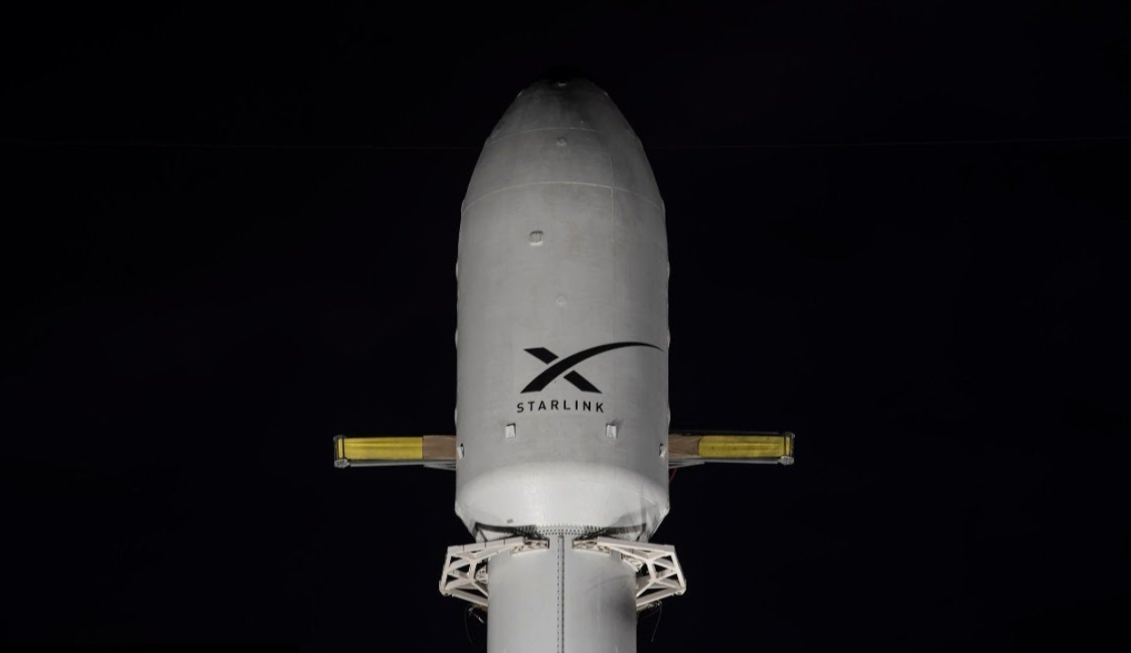
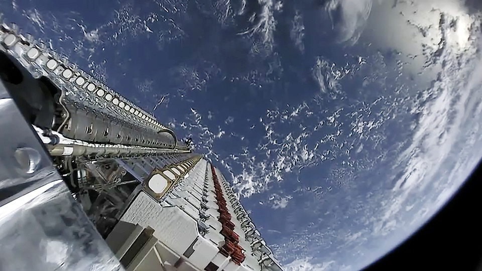
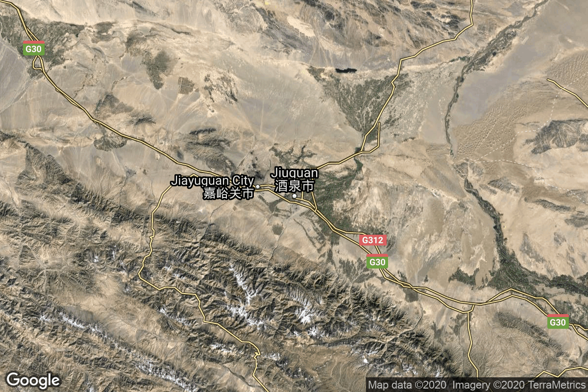
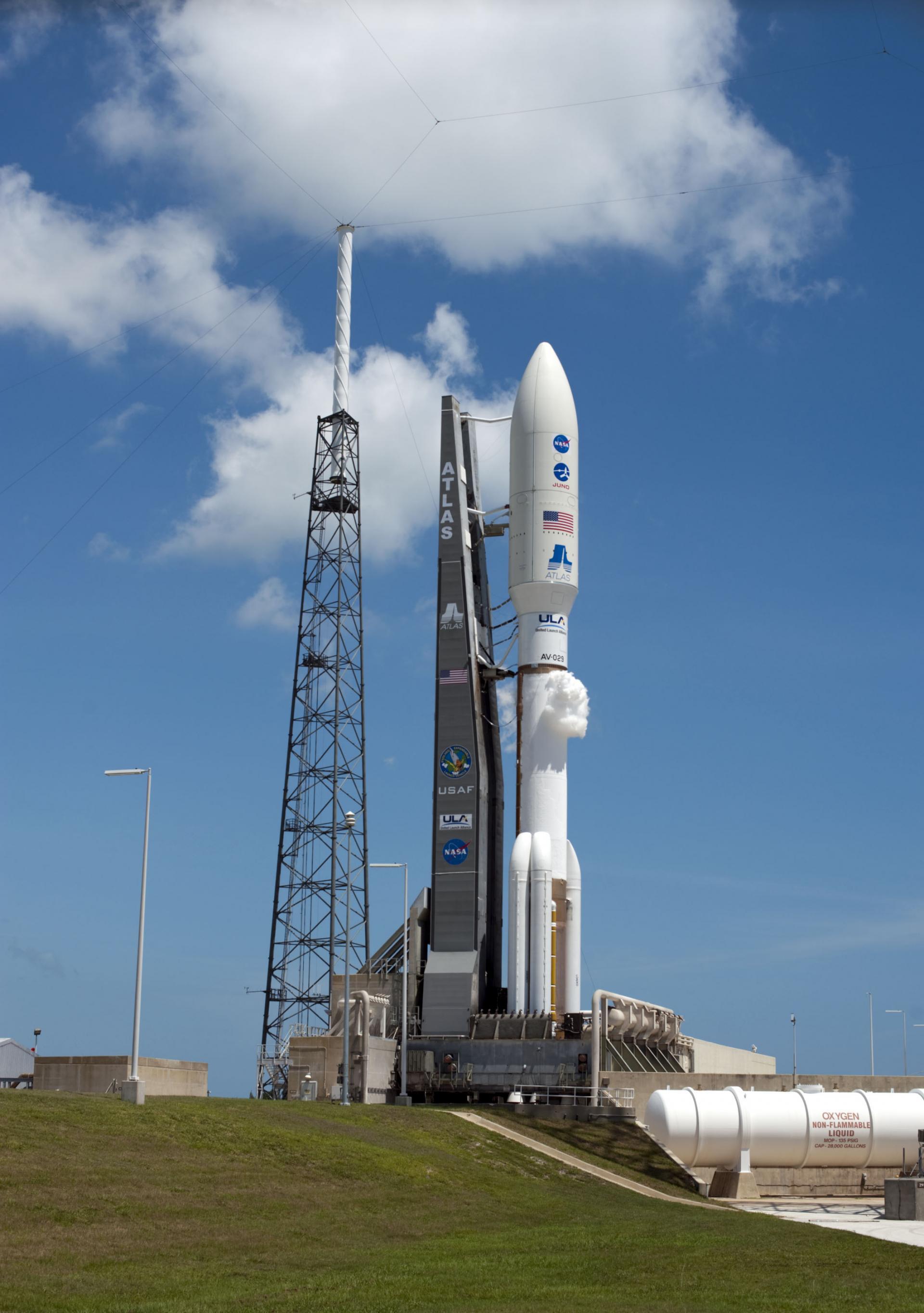
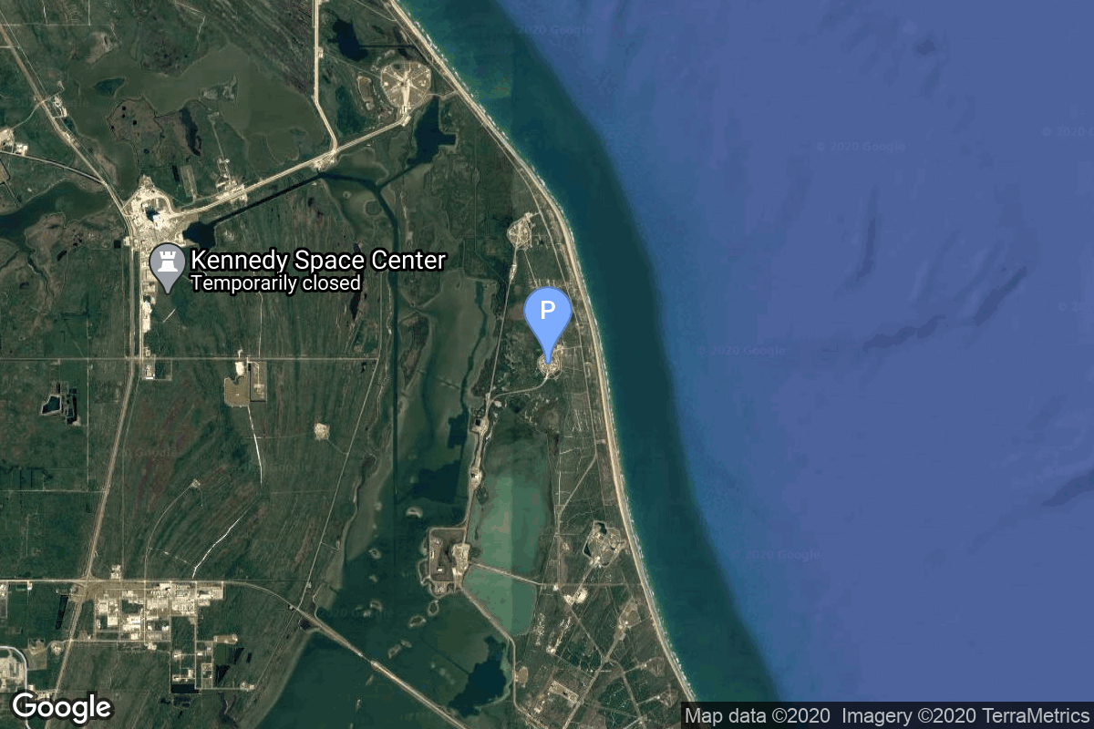
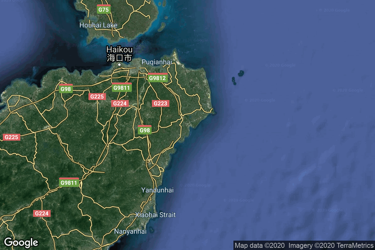
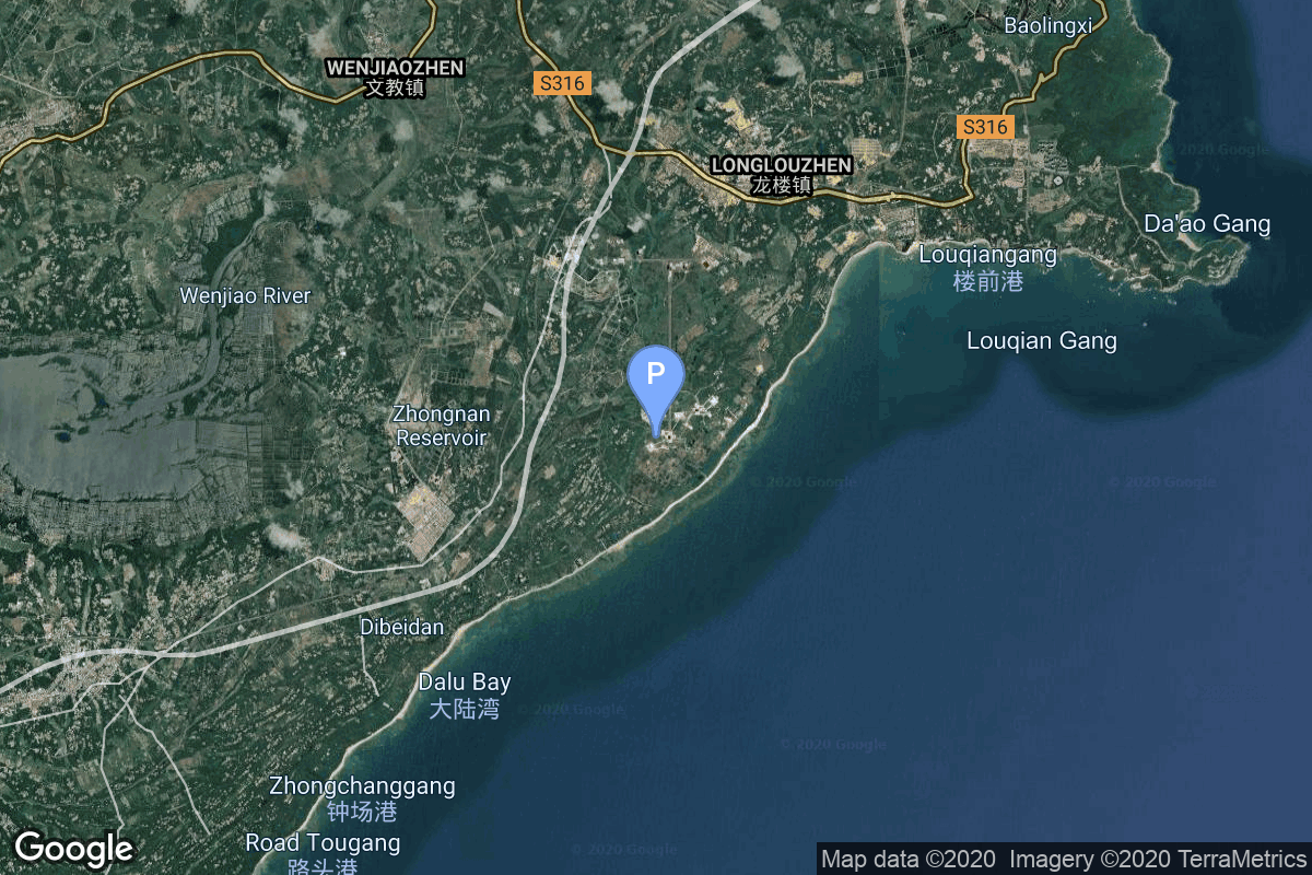
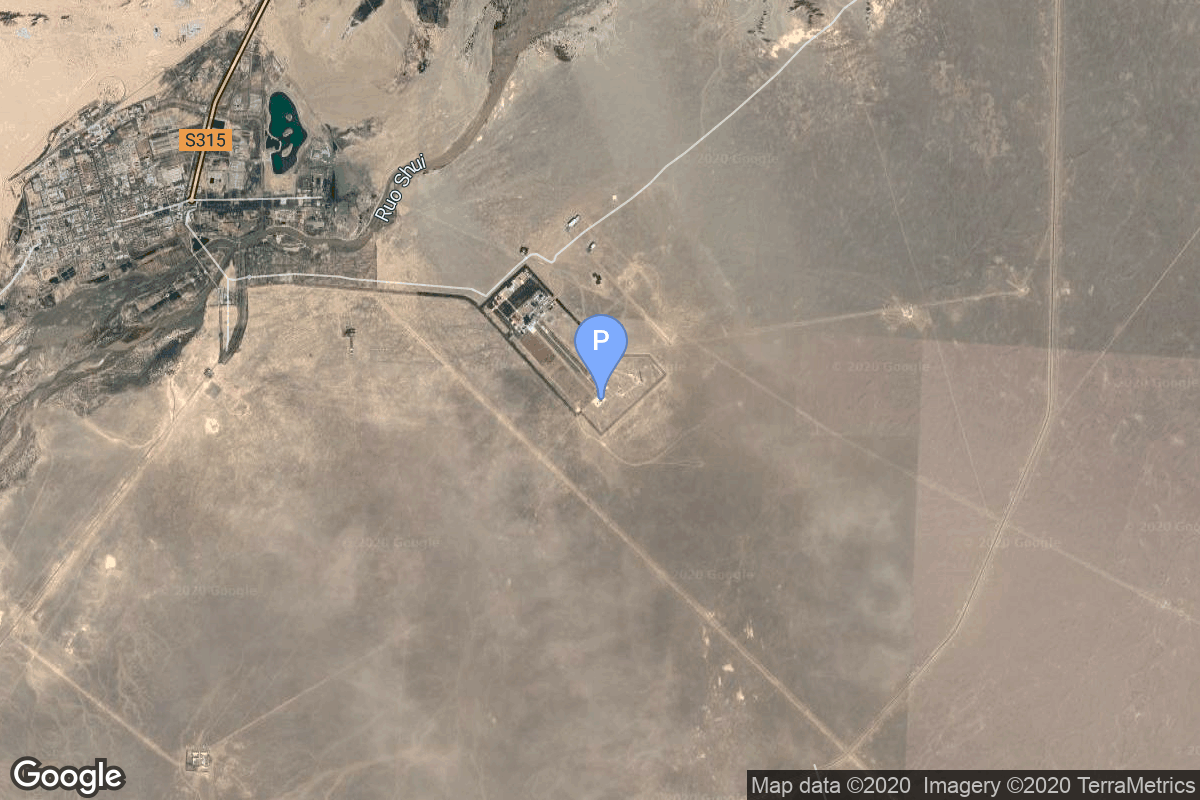
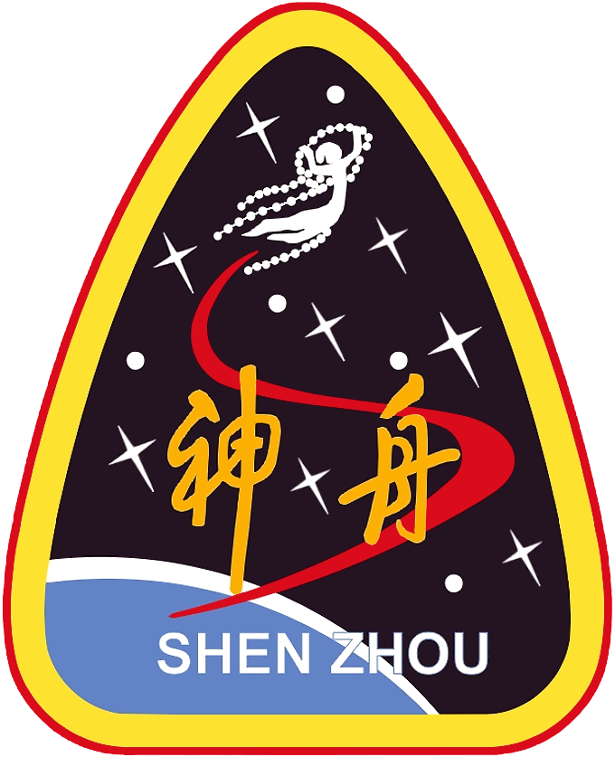
{ "count": 349, "next": "https://lldev.thespacedevs.com/2.0.0/launch/previous/?format=api&limit=10&offset=40&ordering=-net", "previous": "https://lldev.thespacedevs.com/2.0.0/launch/previous/?format=api&limit=10&offset=20&ordering=-net", "results": [ { "id": "4936311a-af7c-4b05-8d7b-3eea59fc0f11", "url": "https://lldev.thespacedevs.com/2.0.0/launch/4936311a-af7c-4b05-8d7b-3eea59fc0f11/?format=api", "launch_library_id": null, "slug": "falcon-9-block-5-starlink-group-17-47", "name": "Falcon 9 Block 5 | Starlink Group 17-47", "status": { "id": 3, "name": "Success" }, "net": "2026-06-03T15:40:39Z", "window_end": "2026-06-03T18:00:00Z", "window_start": "2026-06-03T14:00:00Z", "inhold": false, "tbdtime": false, "tbddate": false, "probability": null, "holdreason": "", "failreason": "", "hashtag": null, "launch_service_provider": { "id": 121, "url": "https://lldev.thespacedevs.com/2.0.0/agencies/121/?format=api", "name": "SpaceX", "type": "Commercial" }, "rocket": { "id": 9024, "configuration": { "id": 164, "launch_library_id": 188, "url": "https://lldev.thespacedevs.com/2.0.0/config/launcher/164/?format=api", "name": "Falcon 9", "family": "Falcon", "full_name": "Falcon 9 Block 5", "variant": "Block 5" } }, "mission": { "id": 7619, "launch_library_id": null, "name": "Starlink Group 17-47", "description": "A batch of 24 satellites for the Starlink mega-constellation - SpaceX's project for space-based Internet communication system.", "launch_designator": null, "type": "Communications", "orbit": { "id": 8, "name": "Low Earth Orbit", "abbrev": "LEO" } }, "pad": { "id": 16, "url": "https://lldev.thespacedevs.com/2.0.0/pad/16/?format=api", "agency_id": null, "name": "Space Launch Complex 4E", "info_url": null, "wiki_url": "https://en.wikipedia.org/wiki/Vandenberg_Space_Launch_Complex_4#SLC-4E", "map_url": "https://www.google.com/maps?q=34.632,-120.611", "latitude": "34.632", "longitude": "-120.611", "location": { "id": 11, "url": "https://lldev.thespacedevs.com/2.0.0/location/11/?format=api", "name": "Vandenberg SFB, CA, USA", "country_code": "USA", "map_image": "https://thespacedevs-dev.nyc3.digitaloceanspaces.com/media/map_images/location_11_20200803142416.jpg", "total_launch_count": 894, "total_landing_count": 35 }, "map_image": "https://thespacedevs-dev.nyc3.digitaloceanspaces.com/media/map_images/pad_16_20200803143532.jpg", "total_launch_count": 278 }, "webcast_live": false, "image": "https://thespacedevs-dev.nyc3.digitaloceanspaces.com/media/images/falcon2520925_image_20221009234147.png", "infographic": null, "program": [ { "id": 25, "url": "https://lldev.thespacedevs.com/2.0.0/program/25/?format=api", "name": "Starlink", "description": "Starlink is a satellite internet constellation operated by American aerospace company SpaceX", "agencies": [ { "id": 121, "url": "https://lldev.thespacedevs.com/2.0.0/agencies/121/?format=api", "name": "SpaceX", "type": "Commercial" } ], "image_url": "https://thespacedevs-dev.nyc3.digitaloceanspaces.com/media/images/starlink_program_20231228154508.jpeg", "start_date": "2018-02-22T14:17:00Z", "end_date": null, "info_url": "https://starlink.com", "wiki_url": "https://en.wikipedia.org/wiki/Starlink" } ] }, { "id": "459225a2-dc1a-43d7-8c2c-78f9552b0a05", "url": "https://lldev.thespacedevs.com/2.0.0/launch/459225a2-dc1a-43d7-8c2c-78f9552b0a05/?format=api", "launch_library_id": null, "slug": "long-march-12b-demo-flight-spacesail-polar-group-1", "name": "Long March 12B | Demo Flight (SpaceSail Polar Group #10)", "status": { "id": 3, "name": "Success" }, "net": "2026-06-01T08:40:00Z", "window_end": "2026-06-01T08:40:00Z", "window_start": "2026-06-01T08:40:00Z", "inhold": false, "tbdtime": false, "tbddate": false, "probability": null, "holdreason": "", "failreason": "", "hashtag": null, "launch_service_provider": { "id": 88, "url": "https://lldev.thespacedevs.com/2.0.0/agencies/88/?format=api", "name": "China Aerospace Science and Technology Corporation", "type": "Government" }, "rocket": { "id": 8893, "configuration": { "id": 552, "launch_library_id": null, "url": "https://lldev.thespacedevs.com/2.0.0/config/launcher/552/?format=api", "name": "Long March 12B", "family": "Long March", "full_name": "Long March 12B", "variant": "" } }, "mission": { "id": 7484, "launch_library_id": null, "name": "Demo Flight (SpaceSail Polar Group #10)", "description": "First test launch of CASC/CACL’s Long March 12B rocket; carried a batch of 2 operational Low Earth Orbit communication satellites with Ku, Q and V band payloads for the G60 constellation operated by Shanghai Spacesail Technologies with funding backed by the Shanghai local government.\r\n\r\nInitial constellation will consist of 1296 satellites by 2027 with long term plans to expand it to 12000 satellites.", "launch_designator": null, "type": "Test Flight", "orbit": { "id": 13, "name": "Polar Orbit", "abbrev": "PO" } }, "pad": { "id": 247, "url": "https://lldev.thespacedevs.com/2.0.0/pad/247/?format=api", "agency_id": 88, "name": "Long March 12 series Pad", "info_url": null, "wiki_url": "https://en.wikipedia.org/wiki/Long_March_12A", "map_url": "https://www.google.com/maps?q=40.891596,100.217289", "latitude": "40.891596", "longitude": "100.217289", "location": { "id": 17, "url": "https://lldev.thespacedevs.com/2.0.0/location/17/?format=api", "name": "Jiuquan Satellite Launch Center, People's Republic of China", "country_code": "CHN", "map_image": "https://thespacedevs-dev.nyc3.digitaloceanspaces.com/media/map_images/location_17_20200803142429.jpg", "total_launch_count": 290, "total_landing_count": 2 }, "map_image": "https://thespacedevs-dev.nyc3.digitaloceanspaces.com/media/map_images/pad_long_march_12a_pad_20251128223939.jpg", "total_launch_count": 2 }, "webcast_live": false, "image": "https://thespacedevs-dev.nyc3.digitaloceanspaces.com/media/images/long_march_12b__image_20260601133855.jpeg", "infographic": null, "program": [] }, { "id": "0ab3587d-bb8c-4515-a321-2ec154840659", "url": "https://lldev.thespacedevs.com/2.0.0/launch/0ab3587d-bb8c-4515-a321-2ec154840659/?format=api", "launch_library_id": null, "slug": "long-march-2d-4-x-satnet-test-satellites-3", "name": "Long March 2D | 4 x SatNet test satellites", "status": { "id": 3, "name": "Success" }, "net": "2026-05-30T18:07:00Z", "window_end": "2026-05-30T18:17:00Z", "window_start": "2026-05-30T17:57:00Z", "inhold": false, "tbdtime": false, "tbddate": false, "probability": null, "holdreason": "", "failreason": "", "hashtag": null, "launch_service_provider": { "id": 88, "url": "https://lldev.thespacedevs.com/2.0.0/agencies/88/?format=api", "name": "China Aerospace Science and Technology Corporation", "type": "Government" }, "rocket": { "id": 9028, "configuration": { "id": 17, "launch_library_id": 73, "url": "https://lldev.thespacedevs.com/2.0.0/config/launcher/17/?format=api", "name": "Long March 2D", "family": "Long March", "full_name": "Long March 2D", "variant": "D" } }, "mission": { "id": 7623, "launch_library_id": null, "name": "4 x SatNet test satellites", "description": "Officially described as \"Satellite-Internet Technology Demonstration Satellites\".\r\n\r\nProbably 4 test satellites for the Chinese state-owned LEO communication satellite constellation SatNet.", "launch_designator": null, "type": "Communications", "orbit": { "id": 8, "name": "Low Earth Orbit", "abbrev": "LEO" } }, "pad": { "id": 66, "url": "https://lldev.thespacedevs.com/2.0.0/pad/66/?format=api", "agency_id": 17, "name": "Launch Complex 3 (LC-3/LA-1)", "info_url": null, "wiki_url": "https://en.wikipedia.org/wiki/Xichang_Satellite_Launch_Center", "map_url": "https://www.google.com/maps?q=28.247059,102.029008", "latitude": "28.247059", "longitude": "102.029008", "location": { "id": 16, "url": "https://lldev.thespacedevs.com/2.0.0/location/16/?format=api", "name": "Xichang Satellite Launch Center, People's Republic of China", "country_code": "CHN", "map_image": "https://thespacedevs-dev.nyc3.digitaloceanspaces.com/media/map_images/location_16_20200803142513.jpg", "total_launch_count": 241, "total_landing_count": 0 }, "map_image": "https://thespacedevs-dev.nyc3.digitaloceanspaces.com/media/map_images/pad_66_20200803143611.jpg", "total_launch_count": 108 }, "webcast_live": false, "image": "https://thespacedevs-dev.nyc3.digitaloceanspaces.com/media/images/long2520march25202d_image_20190222031211.jpeg", "infographic": null, "program": [] }, { "id": "a7341350-789e-4f61-99a4-a61ebc40c05b", "url": "https://lldev.thespacedevs.com/2.0.0/launch/a7341350-789e-4f61-99a4-a61ebc40c05b/?format=api", "launch_library_id": null, "slug": "falcon-9-block-5-starlink-group-17-41", "name": "Falcon 9 Block 5 | Starlink Group 17-41", "status": { "id": 3, "name": "Success" }, "net": "2026-05-30T15:25:10Z", "window_end": "2026-05-30T18:00:00Z", "window_start": "2026-05-30T14:00:00Z", "inhold": false, "tbdtime": false, "tbddate": false, "probability": null, "holdreason": "", "failreason": "", "hashtag": null, "launch_service_provider": { "id": 121, "url": "https://lldev.thespacedevs.com/2.0.0/agencies/121/?format=api", "name": "SpaceX", "type": "Commercial" }, "rocket": { "id": 9023, "configuration": { "id": 164, "launch_library_id": 188, "url": "https://lldev.thespacedevs.com/2.0.0/config/launcher/164/?format=api", "name": "Falcon 9", "family": "Falcon", "full_name": "Falcon 9 Block 5", "variant": "Block 5" } }, "mission": { "id": 7618, "launch_library_id": null, "name": "Starlink Group 17-41", "description": "A batch of 24 satellites for the Starlink mega-constellation - SpaceX's project for space-based Internet communication system.", "launch_designator": null, "type": "Communications", "orbit": { "id": 8, "name": "Low Earth Orbit", "abbrev": "LEO" } }, "pad": { "id": 16, "url": "https://lldev.thespacedevs.com/2.0.0/pad/16/?format=api", "agency_id": null, "name": "Space Launch Complex 4E", "info_url": null, "wiki_url": "https://en.wikipedia.org/wiki/Vandenberg_Space_Launch_Complex_4#SLC-4E", "map_url": "https://www.google.com/maps?q=34.632,-120.611", "latitude": "34.632", "longitude": "-120.611", "location": { "id": 11, "url": "https://lldev.thespacedevs.com/2.0.0/location/11/?format=api", "name": "Vandenberg SFB, CA, USA", "country_code": "USA", "map_image": "https://thespacedevs-dev.nyc3.digitaloceanspaces.com/media/map_images/location_11_20200803142416.jpg", "total_launch_count": 894, "total_landing_count": 35 }, "map_image": "https://thespacedevs-dev.nyc3.digitaloceanspaces.com/media/map_images/pad_16_20200803143532.jpg", "total_launch_count": 278 }, "webcast_live": false, "image": "https://thespacedevs-dev.nyc3.digitaloceanspaces.com/media/images/falcon2520925_image_20221009234147.png", "infographic": null, "program": [ { "id": 25, "url": "https://lldev.thespacedevs.com/2.0.0/program/25/?format=api", "name": "Starlink", "description": "Starlink is a satellite internet constellation operated by American aerospace company SpaceX", "agencies": [ { "id": 121, "url": "https://lldev.thespacedevs.com/2.0.0/agencies/121/?format=api", "name": "SpaceX", "type": "Commercial" } ], "image_url": "https://thespacedevs-dev.nyc3.digitaloceanspaces.com/media/images/starlink_program_20231228154508.jpeg", "start_date": "2018-02-22T14:17:00Z", "end_date": null, "info_url": "https://starlink.com", "wiki_url": "https://en.wikipedia.org/wiki/Starlink" } ] }, { "id": "ff0a6a32-6513-4e85-9fd8-a2d022add74d", "url": "https://lldev.thespacedevs.com/2.0.0/launch/ff0a6a32-6513-4e85-9fd8-a2d022add74d/?format=api", "launch_library_id": null, "slug": "atlas-v-551-amazon-leo-la-07", "name": "Atlas V 551 | Amazon Leo (LA-07)", "status": { "id": 3, "name": "Success" }, "net": "2026-05-29T23:53:00Z", "window_end": "2026-05-30T00:02:30Z", "window_start": "2026-05-29T23:33:30Z", "inhold": false, "tbdtime": false, "tbddate": false, "probability": 45, "holdreason": "", "failreason": "", "hashtag": null, "launch_service_provider": { "id": 124, "url": "https://lldev.thespacedevs.com/2.0.0/agencies/124/?format=api", "name": "United Launch Alliance", "type": "Commercial" }, "rocket": { "id": 180, "configuration": { "id": 27, "launch_library_id": 37, "url": "https://lldev.thespacedevs.com/2.0.0/config/launcher/27/?format=api", "name": "Atlas V 551", "family": "Atlas", "full_name": "Atlas V 551", "variant": "551" } }, "mission": { "id": 5999, "launch_library_id": null, "name": "Amazon Leo (LA-07)", "description": "Amazon Leo, formerly known as Project Kuiper, is a mega constellation of satellites in Low Earth Orbit that will offer broadband internet access, this constellation will be managed by Kuiper Systems LLC, a subsidiary of Amazon. This constellation is planned to be composed of 3,276 satellites. The satellites are projected to be placed in 98 orbital planes in three orbital layers, one at 590 km, 610 km and 630 km altitude.\r\n\r\n29 satellites are carried on this launch.", "launch_designator": null, "type": "Communications", "orbit": { "id": 8, "name": "Low Earth Orbit", "abbrev": "LEO" } }, "pad": { "id": 29, "url": "https://lldev.thespacedevs.com/2.0.0/pad/29/?format=api", "agency_id": null, "name": "Space Launch Complex 41", "info_url": null, "wiki_url": "https://en.wikipedia.org/wiki/Cape_Canaveral_Air_Force_Station_Space_Launch_Complex_41", "map_url": "https://www.google.com/maps?q=28.58341025,-80.58303644", "latitude": "28.58341025", "longitude": "-80.58303644", "location": { "id": 12, "url": "https://lldev.thespacedevs.com/2.0.0/location/12/?format=api", "name": "Cape Canaveral SFS, FL, USA", "country_code": "USA", "map_image": "https://thespacedevs-dev.nyc3.digitaloceanspaces.com/media/map_images/location_12_20200803142519.jpg", "total_launch_count": 1116, "total_landing_count": 75 }, "map_image": "https://thespacedevs-dev.nyc3.digitaloceanspaces.com/media/map_images/pad_29_20200803143528.jpg", "total_launch_count": 124 }, "webcast_live": false, "image": "https://thespacedevs-dev.nyc3.digitaloceanspaces.com/media/images/atlas2520v2520551_image_20190224012316.jpeg", "infographic": null, "program": [ { "id": 27, "url": "https://lldev.thespacedevs.com/2.0.0/program/27/?format=api", "name": "Amazon Leo", "description": "Amazon Leo is a satellite internet constellation aimed at providing high-speed, low-latency broadband connectivity to underserved and remote areas globally. The project involves deploying a constellation of low Earth orbit (LEO) satellites to create a satellite internet network capable of delivering reliable internet access.", "agencies": [ { "id": 1058, "url": "https://lldev.thespacedevs.com/2.0.0/agencies/1058/?format=api", "name": "Amazon Leo", "type": "Private" } ], "image_url": "https://thespacedevs-dev.nyc3.digitaloceanspaces.com/media/images/project2520kui_program_20231228165031.jpeg", "start_date": "2023-10-16T18:06:00Z", "end_date": null, "info_url": "https://en.wikipedia.org/wiki/Kuiper_Systems", "wiki_url": "https://aboutamazon.com/what-we-do/devices-services/project-kuiper" } ] }, { "id": "384fb817-2a18-46ec-b294-613c08ecea52", "url": "https://lldev.thespacedevs.com/2.0.0/launch/384fb817-2a18-46ec-b294-613c08ecea52/?format=api", "launch_library_id": null, "slug": "falcon-9-block-5-starlink-group-10-53", "name": "Falcon 9 Block 5 | Starlink Group 10-53", "status": { "id": 3, "name": "Success" }, "net": "2026-05-29T12:57:15Z", "window_end": "2026-05-29T15:52:00Z", "window_start": "2026-05-29T11:52:00Z", "inhold": false, "tbdtime": false, "tbddate": false, "probability": 80, "holdreason": "", "failreason": "", "hashtag": null, "launch_service_provider": { "id": 121, "url": "https://lldev.thespacedevs.com/2.0.0/agencies/121/?format=api", "name": "SpaceX", "type": "Commercial" }, "rocket": { "id": 9025, "configuration": { "id": 164, "launch_library_id": 188, "url": "https://lldev.thespacedevs.com/2.0.0/config/launcher/164/?format=api", "name": "Falcon 9", "family": "Falcon", "full_name": "Falcon 9 Block 5", "variant": "Block 5" } }, "mission": { "id": 7620, "launch_library_id": null, "name": "Starlink Group 10-53", "description": "A batch of 29 satellites for the Starlink mega-constellation - SpaceX's project for space-based Internet communication system.", "launch_designator": null, "type": "Communications", "orbit": { "id": 8, "name": "Low Earth Orbit", "abbrev": "LEO" } }, "pad": { "id": 80, "url": "https://lldev.thespacedevs.com/2.0.0/pad/80/?format=api", "agency_id": 121, "name": "Space Launch Complex 40", "info_url": null, "wiki_url": "https://en.wikipedia.org/wiki/Cape_Canaveral_Air_Force_Station_Space_Launch_Complex_40", "map_url": "https://www.google.com/maps?q=28.56194122,-80.57735736", "latitude": "28.56194122", "longitude": "-80.57735736", "location": { "id": 12, "url": "https://lldev.thespacedevs.com/2.0.0/location/12/?format=api", "name": "Cape Canaveral SFS, FL, USA", "country_code": "USA", "map_image": "https://thespacedevs-dev.nyc3.digitaloceanspaces.com/media/map_images/location_12_20200803142519.jpg", "total_launch_count": 1116, "total_landing_count": 75 }, "map_image": "https://thespacedevs-dev.nyc3.digitaloceanspaces.com/media/map_images/pad_80_20200803143323.jpg", "total_launch_count": 389 }, "webcast_live": false, "image": "https://thespacedevs-dev.nyc3.digitaloceanspaces.com/media/images/falcon2520925_image_20221009234147.png", "infographic": null, "program": [ { "id": 25, "url": "https://lldev.thespacedevs.com/2.0.0/program/25/?format=api", "name": "Starlink", "description": "Starlink is a satellite internet constellation operated by American aerospace company SpaceX", "agencies": [ { "id": 121, "url": "https://lldev.thespacedevs.com/2.0.0/agencies/121/?format=api", "name": "SpaceX", "type": "Commercial" } ], "image_url": "https://thespacedevs-dev.nyc3.digitaloceanspaces.com/media/images/starlink_program_20231228154508.jpeg", "start_date": "2018-02-22T14:17:00Z", "end_date": null, "info_url": "https://starlink.com", "wiki_url": "https://en.wikipedia.org/wiki/Starlink" } ] }, { "id": "6d2beb1a-6869-4505-9fc1-a4aa224178e2", "url": "https://lldev.thespacedevs.com/2.0.0/launch/6d2beb1a-6869-4505-9fc1-a4aa224178e2/?format=api", "launch_library_id": null, "slug": "long-march-7a-tjsw-24", "name": "Long March 7A | TJSW-24", "status": { "id": 3, "name": "Success" }, "net": "2026-05-26T16:16:00Z", "window_end": "2026-05-26T17:08:00Z", "window_start": "2026-05-26T16:08:00Z", "inhold": false, "tbdtime": false, "tbddate": false, "probability": null, "holdreason": "", "failreason": "", "hashtag": null, "launch_service_provider": { "id": 88, "url": "https://lldev.thespacedevs.com/2.0.0/agencies/88/?format=api", "name": "China Aerospace Science and Technology Corporation", "type": "Government" }, "rocket": { "id": 8875, "configuration": { "id": 216, "launch_library_id": 247, "url": "https://lldev.thespacedevs.com/2.0.0/config/launcher/216/?format=api", "name": "Long March 7A", "family": "Long March", "full_name": "Long March 7A", "variant": "A" } }, "mission": { "id": 7466, "launch_library_id": null, "name": "TJSW-24", "description": "Chinese classified satellite claimed to be for communication technology test purposes. Actual mission not known.", "launch_designator": null, "type": "Government/Top Secret", "orbit": { "id": 2, "name": "Geostationary Transfer Orbit", "abbrev": "GTO" } }, "pad": { "id": 176, "url": "https://lldev.thespacedevs.com/2.0.0/pad/176/?format=api", "agency_id": null, "name": "201", "info_url": null, "wiki_url": "https://en.wikipedia.org/wiki/Wenchang_Spacecraft_Launch_Site", "map_url": "https://www.google.com/maps?q=19.618452,110.955356", "latitude": "19.618452", "longitude": "110.955356", "location": { "id": 8, "url": "https://lldev.thespacedevs.com/2.0.0/location/8/?format=api", "name": "Wenchang Space Launch Site, People's Republic of China", "country_code": "CHN", "map_image": "https://thespacedevs-dev.nyc3.digitaloceanspaces.com/media/map_images/location_8_20200803142445.jpg", "total_launch_count": 66, "total_landing_count": 0 }, "map_image": "https://thespacedevs-dev.nyc3.digitaloceanspaces.com/media/map_images/pad_176_20200803143412.jpg", "total_launch_count": 31 }, "webcast_live": false, "image": "https://thespacedevs-dev.nyc3.digitaloceanspaces.com/media/images/cz-7a_launch_2_image_20251206093324.jpeg", "infographic": null, "program": [] }, { "id": "75a35be5-b3bd-4591-b978-9a876da9fa96", "url": "https://lldev.thespacedevs.com/2.0.0/launch/75a35be5-b3bd-4591-b978-9a876da9fa96/?format=api", "launch_library_id": null, "slug": "falcon-9-block-5-starlink-group-17-37", "name": "Falcon 9 Block 5 | Starlink Group 17-37", "status": { "id": 3, "name": "Success" }, "net": "2026-05-26T14:50:34Z", "window_end": "2026-05-26T18:00:00Z", "window_start": "2026-05-26T14:00:00Z", "inhold": false, "tbdtime": false, "tbddate": false, "probability": null, "holdreason": "", "failreason": "", "hashtag": null, "launch_service_provider": { "id": 121, "url": "https://lldev.thespacedevs.com/2.0.0/agencies/121/?format=api", "name": "SpaceX", "type": "Commercial" }, "rocket": { "id": 9013, "configuration": { "id": 164, "launch_library_id": 188, "url": "https://lldev.thespacedevs.com/2.0.0/config/launcher/164/?format=api", "name": "Falcon 9", "family": "Falcon", "full_name": "Falcon 9 Block 5", "variant": "Block 5" } }, "mission": { "id": 7608, "launch_library_id": null, "name": "Starlink Group 17-37", "description": "A batch of 24 satellites for the Starlink mega-constellation - SpaceX's project for space-based Internet communication system.", "launch_designator": null, "type": "Communications", "orbit": { "id": 8, "name": "Low Earth Orbit", "abbrev": "LEO" } }, "pad": { "id": 16, "url": "https://lldev.thespacedevs.com/2.0.0/pad/16/?format=api", "agency_id": null, "name": "Space Launch Complex 4E", "info_url": null, "wiki_url": "https://en.wikipedia.org/wiki/Vandenberg_Space_Launch_Complex_4#SLC-4E", "map_url": "https://www.google.com/maps?q=34.632,-120.611", "latitude": "34.632", "longitude": "-120.611", "location": { "id": 11, "url": "https://lldev.thespacedevs.com/2.0.0/location/11/?format=api", "name": "Vandenberg SFB, CA, USA", "country_code": "USA", "map_image": "https://thespacedevs-dev.nyc3.digitaloceanspaces.com/media/map_images/location_11_20200803142416.jpg", "total_launch_count": 894, "total_landing_count": 35 }, "map_image": "https://thespacedevs-dev.nyc3.digitaloceanspaces.com/media/map_images/pad_16_20200803143532.jpg", "total_launch_count": 278 }, "webcast_live": false, "image": "https://thespacedevs-dev.nyc3.digitaloceanspaces.com/media/images/falcon2520925_image_20221009234147.png", "infographic": null, "program": [ { "id": 25, "url": "https://lldev.thespacedevs.com/2.0.0/program/25/?format=api", "name": "Starlink", "description": "Starlink is a satellite internet constellation operated by American aerospace company SpaceX", "agencies": [ { "id": 121, "url": "https://lldev.thespacedevs.com/2.0.0/agencies/121/?format=api", "name": "SpaceX", "type": "Commercial" } ], "image_url": "https://thespacedevs-dev.nyc3.digitaloceanspaces.com/media/images/starlink_program_20231228154508.jpeg", "start_date": "2018-02-22T14:17:00Z", "end_date": null, "info_url": "https://starlink.com", "wiki_url": "https://en.wikipedia.org/wiki/Starlink" } ] }, { "id": "e6159040-124e-4a2a-91db-41f5a48acfd8", "url": "https://lldev.thespacedevs.com/2.0.0/launch/e6159040-124e-4a2a-91db-41f5a48acfd8/?format=api", "launch_library_id": null, "slug": "falcon-9-block-5-starlink-group-10-47", "name": "Falcon 9 Block 5 | Starlink Group 10-47", "status": { "id": 3, "name": "Success" }, "net": "2026-05-25T11:48:04Z", "window_end": "2026-05-25T15:41:00Z", "window_start": "2026-05-25T11:41:00Z", "inhold": false, "tbdtime": false, "tbddate": false, "probability": 85, "holdreason": "", "failreason": "", "hashtag": null, "launch_service_provider": { "id": 121, "url": "https://lldev.thespacedevs.com/2.0.0/agencies/121/?format=api", "name": "SpaceX", "type": "Commercial" }, "rocket": { "id": 9022, "configuration": { "id": 164, "launch_library_id": 188, "url": "https://lldev.thespacedevs.com/2.0.0/config/launcher/164/?format=api", "name": "Falcon 9", "family": "Falcon", "full_name": "Falcon 9 Block 5", "variant": "Block 5" } }, "mission": { "id": 7617, "launch_library_id": null, "name": "Starlink Group 10-47", "description": "A batch of 29 satellites for the Starlink mega-constellation - SpaceX's project for space-based Internet communication system.", "launch_designator": null, "type": "Communications", "orbit": { "id": 8, "name": "Low Earth Orbit", "abbrev": "LEO" } }, "pad": { "id": 80, "url": "https://lldev.thespacedevs.com/2.0.0/pad/80/?format=api", "agency_id": 121, "name": "Space Launch Complex 40", "info_url": null, "wiki_url": "https://en.wikipedia.org/wiki/Cape_Canaveral_Air_Force_Station_Space_Launch_Complex_40", "map_url": "https://www.google.com/maps?q=28.56194122,-80.57735736", "latitude": "28.56194122", "longitude": "-80.57735736", "location": { "id": 12, "url": "https://lldev.thespacedevs.com/2.0.0/location/12/?format=api", "name": "Cape Canaveral SFS, FL, USA", "country_code": "USA", "map_image": "https://thespacedevs-dev.nyc3.digitaloceanspaces.com/media/map_images/location_12_20200803142519.jpg", "total_launch_count": 1116, "total_landing_count": 75 }, "map_image": "https://thespacedevs-dev.nyc3.digitaloceanspaces.com/media/map_images/pad_80_20200803143323.jpg", "total_launch_count": 389 }, "webcast_live": false, "image": "https://thespacedevs-dev.nyc3.digitaloceanspaces.com/media/images/falcon2520925_image_20221009234147.png", "infographic": null, "program": [ { "id": 25, "url": "https://lldev.thespacedevs.com/2.0.0/program/25/?format=api", "name": "Starlink", "description": "Starlink is a satellite internet constellation operated by American aerospace company SpaceX", "agencies": [ { "id": 121, "url": "https://lldev.thespacedevs.com/2.0.0/agencies/121/?format=api", "name": "SpaceX", "type": "Commercial" } ], "image_url": "https://thespacedevs-dev.nyc3.digitaloceanspaces.com/media/images/starlink_program_20231228154508.jpeg", "start_date": "2018-02-22T14:17:00Z", "end_date": null, "info_url": "https://starlink.com", "wiki_url": "https://en.wikipedia.org/wiki/Starlink" } ] }, { "id": "a0e0f590-1cb4-4b6b-845c-0087633af132", "url": "https://lldev.thespacedevs.com/2.0.0/launch/a0e0f590-1cb4-4b6b-845c-0087633af132/?format=api", "launch_library_id": null, "slug": "long-march-2fg-shenzhou-23", "name": "Long March 2F/G | Shenzhou 23", "status": { "id": 3, "name": "Success" }, "net": "2026-05-24T15:08:36Z", "window_end": "2026-05-24T15:38:00Z", "window_start": "2026-05-24T14:58:00Z", "inhold": false, "tbdtime": false, "tbddate": false, "probability": null, "holdreason": "", "failreason": "", "hashtag": null, "launch_service_provider": { "id": 88, "url": "https://lldev.thespacedevs.com/2.0.0/agencies/88/?format=api", "name": "China Aerospace Science and Technology Corporation", "type": "Government" }, "rocket": { "id": 8900, "configuration": { "id": 84, "launch_library_id": 111, "url": "https://lldev.thespacedevs.com/2.0.0/config/launcher/84/?format=api", "name": "Long March 2F/G", "family": "Long March", "full_name": "Long March 2F/G", "variant": "F/G" } }, "mission": { "id": 7491, "launch_library_id": null, "name": "Shenzhou 23", "description": "Shenzhou 23 will be the 23rd flight of the Shenzhou program.", "launch_designator": null, "type": "Human Exploration", "orbit": { "id": 8, "name": "Low Earth Orbit", "abbrev": "LEO" } }, "pad": { "id": 37, "url": "https://lldev.thespacedevs.com/2.0.0/pad/37/?format=api", "agency_id": null, "name": "Launch Area 91 (SLS-1 / 921)", "info_url": null, "wiki_url": "https://en.wikipedia.org/wiki/Jiuquan_Launch_Area_4", "map_url": "https://www.google.com/maps?q=40.957893,100.290944", "latitude": "40.957893", "longitude": "100.290944", "location": { "id": 17, "url": "https://lldev.thespacedevs.com/2.0.0/location/17/?format=api", "name": "Jiuquan Satellite Launch Center, People's Republic of China", "country_code": "CHN", "map_image": "https://thespacedevs-dev.nyc3.digitaloceanspaces.com/media/map_images/location_17_20200803142429.jpg", "total_launch_count": 290, "total_landing_count": 2 }, "map_image": "https://thespacedevs-dev.nyc3.digitaloceanspaces.com/media/map_images/pad_37_20200803143603.jpg", "total_launch_count": 29 }, "webcast_live": false, "image": "https://thespacedevs-dev.nyc3.digitaloceanspaces.com/media/images/shenzhou_22_lau_image_20251129175823.jpg", "infographic": null, "program": [ { "id": 19, "url": "https://lldev.thespacedevs.com/2.0.0/program/19/?format=api", "name": "Tiangong space station", "description": "The Tiangong space station is a space station placed in Low Earth orbit between 340 and 450 km above the surface.", "agencies": [ { "id": 88, "url": "https://lldev.thespacedevs.com/2.0.0/agencies/88/?format=api", "name": "China Aerospace Science and Technology Corporation", "type": "Government" } ], "image_url": "https://thespacedevs-dev.nyc3.digitaloceanspaces.com/media/images/chinese2520spa_program_20210608105528.png", "start_date": "2021-04-29T03:23:00Z", "end_date": null, "info_url": null, "wiki_url": "https://en.wikipedia.org/wiki/Tiangong_space_station" }, { "id": 7, "url": "https://lldev.thespacedevs.com/2.0.0/program/7/?format=api", "name": "Shenzhou", "description": "The Shenzhou program is a crewed spaceflight initiative by China. The program put the first Chinese citizen, Yang Liwei, into orbit on 15 October 2003.", "agencies": [ { "id": 17, "url": "https://lldev.thespacedevs.com/2.0.0/agencies/17/?format=api", "name": "China National Space Administration", "type": "Government" } ], "image_url": "https://thespacedevs-dev.nyc3.digitaloceanspaces.com/media/images/shenzhou_program_20200820204745.PNG", "start_date": "1993-01-01T00:00:00Z", "end_date": null, "info_url": null, "wiki_url": "https://en.wikipedia.org/wiki/Shenzhou_program" } ] } ] }