Launch List
API endpoint that returns all Launch objects or a single launch.
EXAMPLE - /launch/
GET: Return a list of all Launch objects.
FILTERS: Fields - 'name', 'id(s)', 'lsp_id', 'lsp_name', 'serial_number', 'launcher_config__id', 'rocket__spacecraftflight__spacecraft__name'
MODE: 'normal', 'list', 'detailed' EXAMPLE: ?mode=list
SEARCH: Searches through the launch name, rocket name, launch agency, mission name & spacecraft name. EXAMPLE - ?search=SpaceX
GET /2.0.0/launch/?format=api&offset=7930&ordering=net
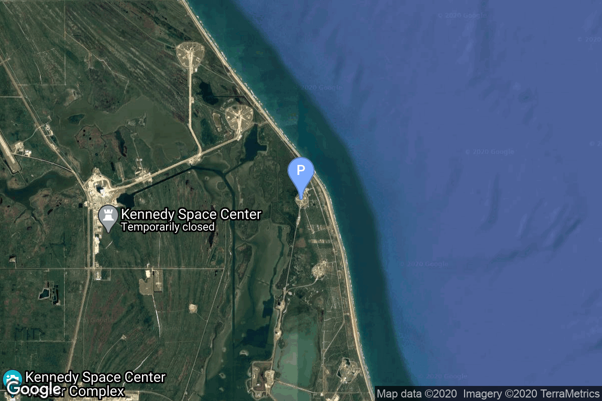
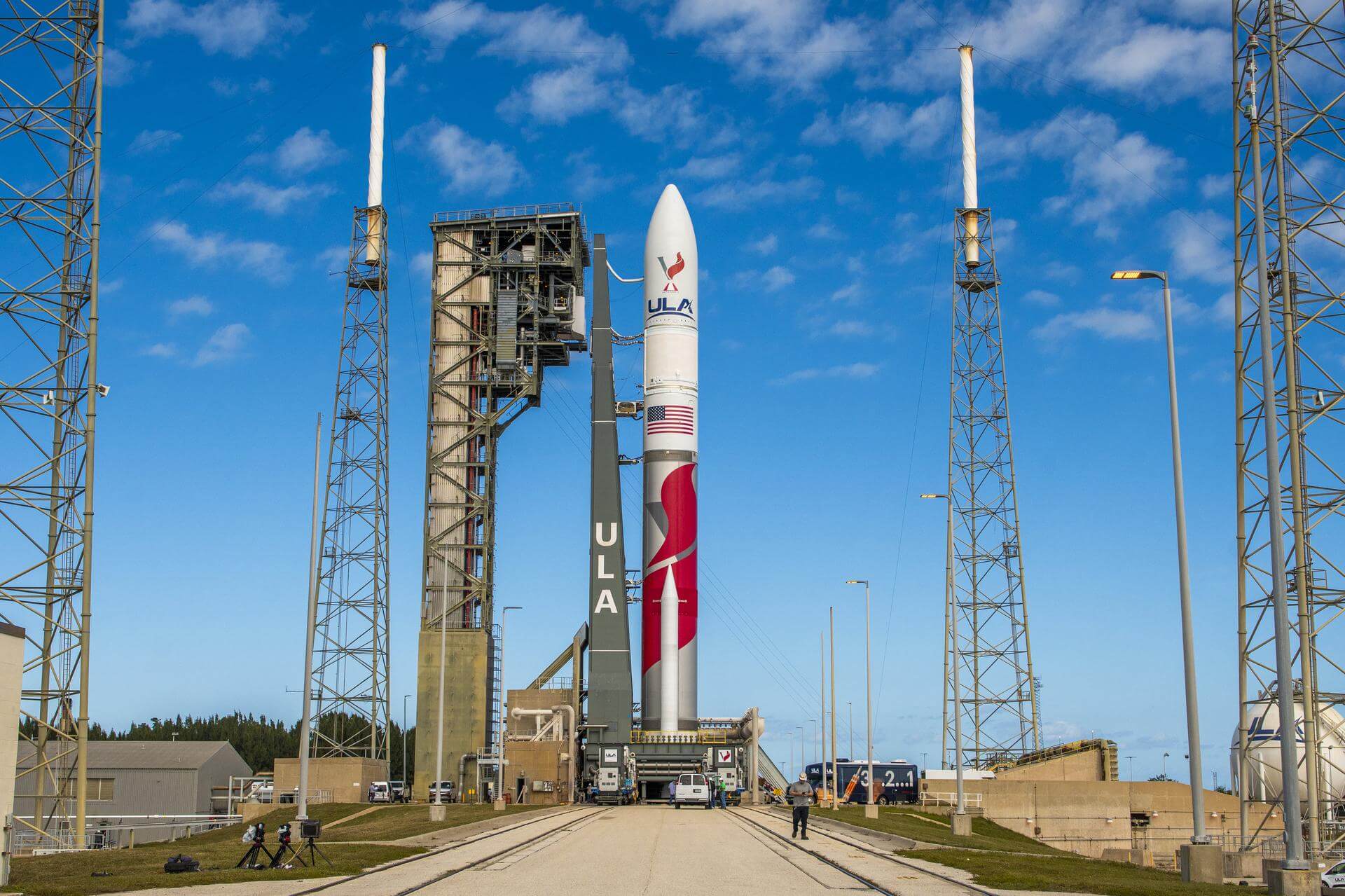
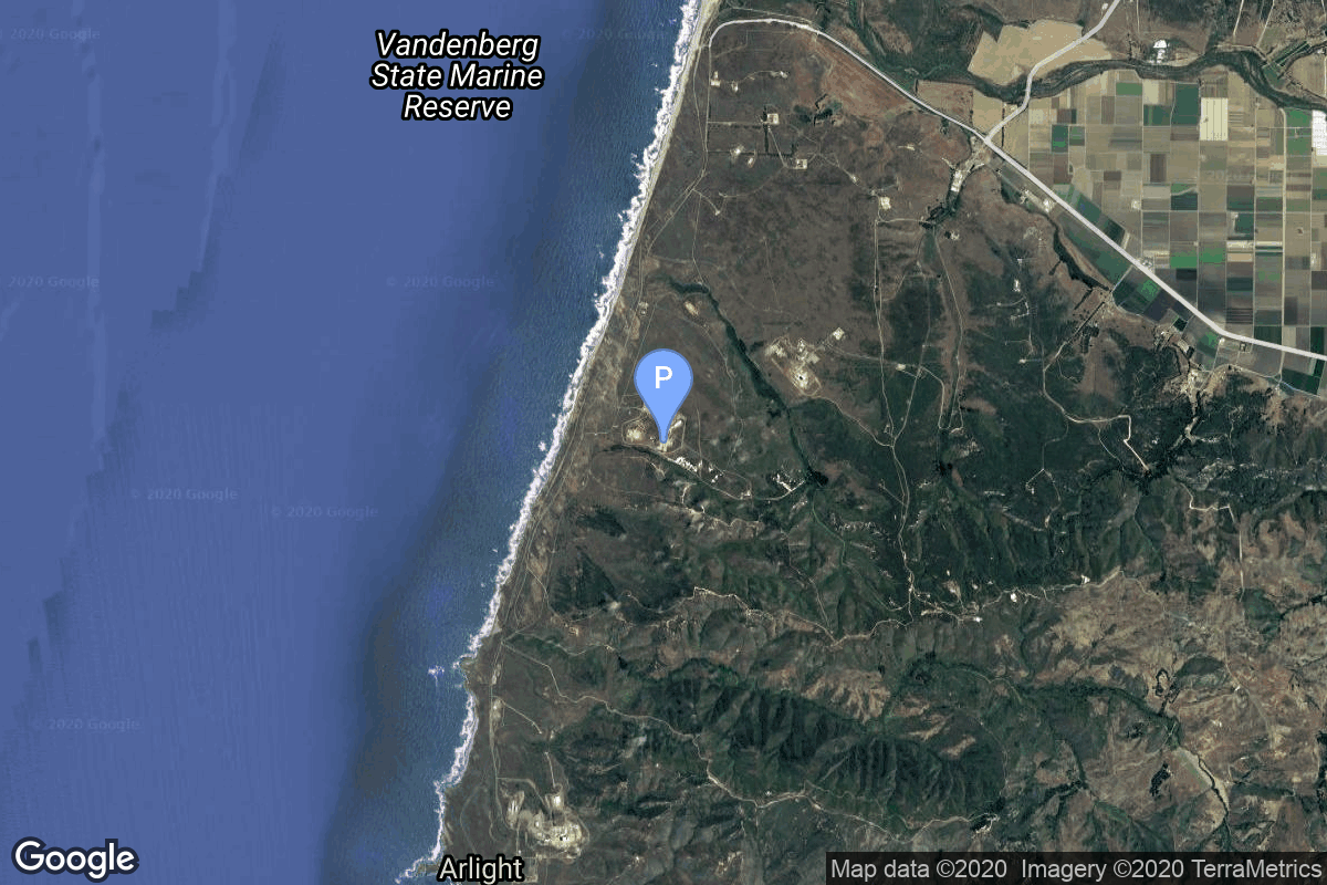
{ "count": 8136, "next": "https://lldev.thespacedevs.com/2.0.0/launch/?format=api&limit=10&offset=7940&ordering=net", "previous": "https://lldev.thespacedevs.com/2.0.0/launch/?format=api&limit=10&offset=7920&ordering=net", "results": [ { "id": "096e0a90-22f5-4323-a2a2-53eacde0371c", "url": "https://lldev.thespacedevs.com/2.0.0/launch/096e0a90-22f5-4323-a2a2-53eacde0371c/?format=api", "launch_library_id": null, "slug": "vulcan-gps-iiif-sv01", "name": "Vulcan | GPS IIIF SV01", "status": { "id": 2, "name": "TBD" }, "net": "2028-12-31T00:00:00Z", "window_end": "2028-12-31T00:00:00Z", "window_start": "2028-12-31T00:00:00Z", "inhold": false, "tbdtime": true, "tbddate": true, "probability": null, "holdreason": "", "failreason": "", "hashtag": null, "launch_service_provider": { "id": 124, "url": "https://lldev.thespacedevs.com/2.0.0/agencies/124/?format=api", "name": "United Launch Alliance", "type": "Commercial" }, "rocket": { "id": 8065, "configuration": { "id": 200, "launch_library_id": 226, "url": "https://lldev.thespacedevs.com/2.0.0/config/launcher/200/?format=api", "name": "Vulcan", "family": "Vulcan", "full_name": "Vulcan", "variant": "Vulcan" } }, "mission": { "id": 6618, "launch_library_id": null, "name": "GPS IIIF SV01", "description": "First Block IIIF GPS satellite", "launch_designator": null, "type": "Navigation", "orbit": { "id": 12, "name": "Medium Earth Orbit", "abbrev": "MEO" } }, "pad": { "id": 29, "url": "https://lldev.thespacedevs.com/2.0.0/pad/29/?format=api", "agency_id": null, "name": "Space Launch Complex 41", "info_url": null, "wiki_url": "https://en.wikipedia.org/wiki/Cape_Canaveral_Air_Force_Station_Space_Launch_Complex_41", "map_url": "https://www.google.com/maps?q=28.58341025,-80.58303644", "latitude": "28.58341025", "longitude": "-80.58303644", "location": { "id": 12, "url": "https://lldev.thespacedevs.com/2.0.0/location/12/?format=api", "name": "Cape Canaveral SFS, FL, USA", "country_code": "USA", "map_image": "https://thespacedevs-dev.nyc3.digitaloceanspaces.com/media/map_images/location_12_20200803142519.jpg", "total_launch_count": 1132, "total_landing_count": 83 }, "map_image": "https://thespacedevs-dev.nyc3.digitaloceanspaces.com/media/map_images/pad_29_20200803143528.jpg", "total_launch_count": 125 }, "webcast_live": false, "image": "https://thespacedevs-dev.nyc3.digitaloceanspaces.com/media/images/vulcan_image_20240107162928.jpeg", "infographic": null, "program": [ { "id": 29, "url": "https://lldev.thespacedevs.com/2.0.0/program/29/?format=api", "name": "Global Positioning System", "description": "The Global Positioning System (GPS), originally Navstar GPS, is a satellite-based radio navigation system owned by the United States government and operated by the United States Space Force. It is one of the global navigation satellite systems (GNSS) that provide geolocation and time information to a GPS receiver anywhere on or near the Earth where there is an unobstructed line of sight to four or more GPS satellites.", "agencies": [ { "id": 1041, "url": "https://lldev.thespacedevs.com/2.0.0/agencies/1041/?format=api", "name": "United States Space Force", "type": "Government" } ], "image_url": "https://thespacedevs-dev.nyc3.digitaloceanspaces.com/media/images/global2520posi_program_20231229182501.png", "start_date": "1978-02-22T00:00:00Z", "end_date": null, "info_url": "https://www.gps.gov/", "wiki_url": "https://en.wikipedia.org/wiki/Global_Positioning_System" } ] }, { "id": "1ae2e110-d42b-4ab3-abec-829fce79d98c", "url": "https://lldev.thespacedevs.com/2.0.0/launch/1ae2e110-d42b-4ab3-abec-829fce79d98c/?format=api", "launch_library_id": null, "slug": "falcon-9-block-5-grace-c", "name": "Falcon 9 Block 5 | GRACE-C", "status": { "id": 2, "name": "TBD" }, "net": "2028-12-31T00:00:00Z", "window_end": "2028-12-31T00:00:00Z", "window_start": "2028-12-31T00:00:00Z", "inhold": false, "tbdtime": true, "tbddate": true, "probability": null, "holdreason": "", "failreason": "", "hashtag": null, "launch_service_provider": { "id": 121, "url": "https://lldev.thespacedevs.com/2.0.0/agencies/121/?format=api", "name": "SpaceX", "type": "Commercial" }, "rocket": { "id": 9147, "configuration": { "id": 164, "launch_library_id": 188, "url": "https://lldev.thespacedevs.com/2.0.0/config/launcher/164/?format=api", "name": "Falcon 9", "family": "Falcon", "full_name": "Falcon 9 Block 5", "variant": "Block 5" } }, "mission": { "id": 7746, "launch_library_id": null, "name": "GRACE-C", "description": "GRACE-C (Gravity Recovery and Climate Experiment-Continuity) is a successor to the original GRACE and GRACE-FO missions, providing month-to-month changes of Earth's gravity field to track water movement and surface mass changes across the planet, monitoring variations in ice sheets, glaciers, underground water storage, soil moisture, and sea levels.\r\n\r\nGRACE-C consists of two identical satellites flying around 200 km apart at an orbit altitude of 500 km with an inclination of 89 degrees. Each satellite will measure approximately 3 x 2 x 1 meters and weigh around 600 kg.\r\n\r\nThis launch will also carry ride-sharing small satellites via Exolaunch.", "launch_designator": null, "type": "Earth Science", "orbit": { "id": 13, "name": "Polar Orbit", "abbrev": "PO" } }, "pad": { "id": 16, "url": "https://lldev.thespacedevs.com/2.0.0/pad/16/?format=api", "agency_id": null, "name": "Space Launch Complex 4E", "info_url": null, "wiki_url": "https://en.wikipedia.org/wiki/Vandenberg_Space_Launch_Complex_4#SLC-4E", "map_url": "https://www.google.com/maps?q=34.632,-120.611", "latitude": "34.632", "longitude": "-120.611", "location": { "id": 11, "url": "https://lldev.thespacedevs.com/2.0.0/location/11/?format=api", "name": "Vandenberg SFB, CA, USA", "country_code": "USA", "map_image": "https://thespacedevs-dev.nyc3.digitaloceanspaces.com/media/map_images/location_11_20200803142416.jpg", "total_launch_count": 924, "total_landing_count": 37 }, "map_image": "https://thespacedevs-dev.nyc3.digitaloceanspaces.com/media/map_images/pad_16_20200803143532.jpg", "total_launch_count": 308 }, "webcast_live": false, "image": "https://thespacedevs-dev.nyc3.digitaloceanspaces.com/media/images/falcon_9_image_20230807133459.jpeg", "infographic": null, "program": [] }, { "id": "2028bf86-0e99-4eb3-a703-a2769ab7f23d", "url": "https://lldev.thespacedevs.com/2.0.0/launch/2028bf86-0e99-4eb3-a703-a2769ab7f23d/?format=api", "launch_library_id": null, "slug": "electron-iqps-launch-17", "name": "Electron | iQPS Launch 17", "status": { "id": 2, "name": "TBD" }, "net": "2028-12-31T00:00:00Z", "window_end": "2028-12-31T00:00:00Z", "window_start": "2028-12-31T00:00:00Z", "inhold": false, "tbdtime": true, "tbddate": true, "probability": null, "holdreason": "", "failreason": "", "hashtag": null, "launch_service_provider": { "id": 147, "url": "https://lldev.thespacedevs.com/2.0.0/agencies/147/?format=api", "name": "Rocket Lab", "type": "Commercial" }, "rocket": { "id": 9104, "configuration": { "id": 26, "launch_library_id": 148, "url": "https://lldev.thespacedevs.com/2.0.0/config/launcher/26/?format=api", "name": "Electron", "family": "", "full_name": "Electron", "variant": "" } }, "mission": { "id": 7699, "launch_library_id": null, "name": "iQPS Launch 17", "description": "Synthetic aperture radar Earth observation satellite for Japanese Earth imaging company iQPS.", "launch_designator": null, "type": "Earth Science", "orbit": { "id": 8, "name": "Low Earth Orbit", "abbrev": "LEO" } }, "pad": { "id": 210, "url": "https://lldev.thespacedevs.com/2.0.0/pad/210/?format=api", "agency_id": null, "name": "Unknown Pad", "info_url": null, "wiki_url": null, "map_url": null, "latitude": "-39.260881", "longitude": "177.865826", "location": { "id": 10, "url": "https://lldev.thespacedevs.com/2.0.0/location/10/?format=api", "name": "Rocket Lab Launch Complex 1, Mahia Peninsula, New Zealand", "country_code": "NZL", "map_image": "https://thespacedevs-dev.nyc3.digitaloceanspaces.com/media/map_images/location_10_20200803142509.jpg", "total_launch_count": 86, "total_landing_count": 17 }, "map_image": "https://thespacedevs-dev.nyc3.digitaloceanspaces.com/media/map_images/pad_210_20230819165718.jpg", "total_launch_count": 0 }, "webcast_live": false, "image": "https://thespacedevs-dev.nyc3.digitaloceanspaces.com/media/images/electron_image_20190705175640.jpeg", "infographic": null, "program": [] }, { "id": "2156b17b-76ff-4140-9146-e8d52d7e8e7d", "url": "https://lldev.thespacedevs.com/2.0.0/launch/2156b17b-76ff-4140-9146-e8d52d7e8e7d/?format=api", "launch_library_id": null, "slug": "falcon-9-block-5-echostar-26", "name": "Falcon 9 Block 5 | EchoStar 26", "status": { "id": 2, "name": "TBD" }, "net": "2028-12-31T00:00:00Z", "window_end": "2028-12-31T00:00:00Z", "window_start": "2028-12-31T00:00:00Z", "inhold": false, "tbdtime": true, "tbddate": true, "probability": null, "holdreason": "", "failreason": "", "hashtag": null, "launch_service_provider": { "id": 121, "url": "https://lldev.thespacedevs.com/2.0.0/agencies/121/?format=api", "name": "SpaceX", "type": "Commercial" }, "rocket": { "id": 8793, "configuration": { "id": 164, "launch_library_id": 188, "url": "https://lldev.thespacedevs.com/2.0.0/config/launcher/164/?format=api", "name": "Falcon 9", "family": "Falcon", "full_name": "Falcon 9 Block 5", "variant": "Block 5" } }, "mission": { "id": 7384, "launch_library_id": null, "name": "EchoStar 26", "description": "EchoStar 26 is a direct broadcast satellite, built on the proven Maxar 1300 series platform, which will deliver content across DISH TV customers across all 50 U.S. states & Puerto Rico. It will be equipped with a high-power, multi-spot beam payload, allowing DISH to provide high-quality content to its customers.", "launch_designator": null, "type": "Communications", "orbit": { "id": 2, "name": "Geostationary Transfer Orbit", "abbrev": "GTO" } }, "pad": { "id": 72, "url": "https://lldev.thespacedevs.com/2.0.0/pad/72/?format=api", "agency_id": null, "name": "Unknown Pad", "info_url": null, "wiki_url": "", "map_url": "https://www.google.com/maps?q=28.458,-80.528", "latitude": "28.458", "longitude": "-80.528", "location": { "id": 12, "url": "https://lldev.thespacedevs.com/2.0.0/location/12/?format=api", "name": "Cape Canaveral SFS, FL, USA", "country_code": "USA", "map_image": "https://thespacedevs-dev.nyc3.digitaloceanspaces.com/media/map_images/location_12_20200803142519.jpg", "total_launch_count": 1132, "total_landing_count": 83 }, "map_image": "https://thespacedevs-dev.nyc3.digitaloceanspaces.com/media/map_images/pad_72_20200803143403.jpg", "total_launch_count": 0 }, "webcast_live": false, "image": "https://thespacedevs-dev.nyc3.digitaloceanspaces.com/media/images/falcon_9_image_20230807133459.jpeg", "infographic": null, "program": [] }, { "id": "28953c93-cc51-48a1-be8c-d92fc0929b66", "url": "https://lldev.thespacedevs.com/2.0.0/launch/28953c93-cc51-48a1-be8c-d92fc0929b66/?format=api", "launch_library_id": 2058, "slug": "soyuz-21bfregat-m-luna-27", "name": "Soyuz 2.1b/Fregat-M | Luna 27", "status": { "id": 2, "name": "TBD" }, "net": "2028-12-31T00:00:00Z", "window_end": "2028-12-31T00:00:00Z", "window_start": "2028-12-31T00:00:00Z", "inhold": false, "tbdtime": true, "tbddate": true, "probability": null, "holdreason": "", "failreason": "", "hashtag": null, "launch_service_provider": { "id": 63, "url": "https://lldev.thespacedevs.com/2.0.0/agencies/63/?format=api", "name": "Russian Federal Space Agency (ROSCOSMOS)", "type": "Government" }, "rocket": { "id": 2705, "configuration": { "id": 134, "launch_library_id": 153, "url": "https://lldev.thespacedevs.com/2.0.0/config/launcher/134/?format=api", "name": "Soyuz 2.1b/Fregat-M", "family": "Soyuz", "full_name": "Soyuz 2.1b Fregat-M", "variant": "Fregat-M" } }, "mission": { "id": 6727, "launch_library_id": null, "name": "Luna 27", "description": "Luna 27 (also named Luna-Resurs 1) is a planned lunar lander mission by Roscosmos to send a lander to the South Pole–Aitken basin, an area on the far side of the Moon. The purpose is to prospect for minerals, volatiles (nitrogen, water, carbon dioxide, ammonia, hydrogen, methane and sulfur dioxide, and lunar water ice in permanently shadowed areas of the Moon and investigate the potential use of these natural lunar resources. On the long term, Russia considers building a crewed base on the Moon's far side that would bring scientific and commercial benefits.\r\n\r\nThe lander will feature 15 science instruments that will analyse the regolith, plasma in the exosphere, dust, and seismic activity. The payload will include a sampling drill.", "launch_designator": null, "type": "Planetary Science", "orbit": { "id": 11, "name": "Lunar Orbit", "abbrev": "LO" } }, "pad": { "id": 83, "url": "https://lldev.thespacedevs.com/2.0.0/pad/83/?format=api", "agency_id": 63, "name": "Cosmodrome Site 1S", "info_url": null, "wiki_url": "https://en.wikipedia.org/wiki/Vostochny_Cosmodrome", "map_url": "https://www.google.com/maps?q=51.884395,128.333932", "latitude": "51.884395", "longitude": "128.333932", "location": { "id": 18, "url": "https://lldev.thespacedevs.com/2.0.0/location/18/?format=api", "name": "Vostochny Cosmodrome, Siberia, Russian Federation", "country_code": "RUS", "map_image": "https://thespacedevs-dev.nyc3.digitaloceanspaces.com/media/map_images/location_18_20200803142401.jpg", "total_launch_count": 21, "total_landing_count": 0 }, "map_image": "https://thespacedevs-dev.nyc3.digitaloceanspaces.com/media/map_images/pad_83_20200803143544.jpg", "total_launch_count": 20 }, "webcast_live": false, "image": "https://thespacedevs-dev.nyc3.digitaloceanspaces.com/media/images/soyuz_2.1b_image_20230802085331.jpg", "infographic": null, "program": [] }, { "id": "29c2b843-540d-40da-b200-d4892d74e140", "url": "https://lldev.thespacedevs.com/2.0.0/launch/29c2b843-540d-40da-b200-d4892d74e140/?format=api", "launch_library_id": null, "slug": "atlas-v-n22-starliner-2", "name": "Atlas V N22 | Starliner-2", "status": { "id": 2, "name": "TBD" }, "net": "2028-12-31T00:00:00Z", "window_end": "2028-12-31T00:00:00Z", "window_start": "2028-12-31T00:00:00Z", "inhold": false, "tbdtime": true, "tbddate": true, "probability": null, "holdreason": "", "failreason": "", "hashtag": null, "launch_service_provider": { "id": 124, "url": "https://lldev.thespacedevs.com/2.0.0/agencies/124/?format=api", "name": "United Launch Alliance", "type": "Commercial" }, "rocket": { "id": 34, "configuration": { "id": 166, "launch_library_id": 118, "url": "https://lldev.thespacedevs.com/2.0.0/config/launcher/166/?format=api", "name": "Atlas V N22", "family": "Atlas", "full_name": "Atlas V N22", "variant": "V N22" } }, "mission": { "id": 5987, "launch_library_id": null, "name": "Starliner-2", "description": "Starliner-2 is the second crewed operational flight of a Starliner spacecraft to the International Space Station as part of NASA's Commercial Crew Program.", "launch_designator": null, "type": "Human Exploration", "orbit": { "id": 8, "name": "Low Earth Orbit", "abbrev": "LEO" } }, "pad": { "id": 29, "url": "https://lldev.thespacedevs.com/2.0.0/pad/29/?format=api", "agency_id": null, "name": "Space Launch Complex 41", "info_url": null, "wiki_url": "https://en.wikipedia.org/wiki/Cape_Canaveral_Air_Force_Station_Space_Launch_Complex_41", "map_url": "https://www.google.com/maps?q=28.58341025,-80.58303644", "latitude": "28.58341025", "longitude": "-80.58303644", "location": { "id": 12, "url": "https://lldev.thespacedevs.com/2.0.0/location/12/?format=api", "name": "Cape Canaveral SFS, FL, USA", "country_code": "USA", "map_image": "https://thespacedevs-dev.nyc3.digitaloceanspaces.com/media/map_images/location_12_20200803142519.jpg", "total_launch_count": 1132, "total_landing_count": 83 }, "map_image": "https://thespacedevs-dev.nyc3.digitaloceanspaces.com/media/map_images/pad_29_20200803143528.jpg", "total_launch_count": 125 }, "webcast_live": false, "image": "https://thespacedevs-dev.nyc3.digitaloceanspaces.com/media/images/atlas_v_n22_image_20210813082339.jpeg", "infographic": null, "program": [ { "id": 5, "url": "https://lldev.thespacedevs.com/2.0.0/program/5/?format=api", "name": "Commercial Crew Program", "description": "The Commercial Crew Program (CCP) is a human spaceflight program operated by NASA, in association with American aerospace manufacturers Boeing and SpaceX. The program conducts rotations between the expeditions of the International Space Station program, transporting crews to and from the International Space Station (ISS) aboard Boeing Starliner and SpaceX Crew Dragon capsules, in the first crewed orbital spaceflights operated by private companies.", "agencies": [ { "id": 80, "url": "https://lldev.thespacedevs.com/2.0.0/agencies/80/?format=api", "name": "Boeing", "type": "Commercial" }, { "id": 44, "url": "https://lldev.thespacedevs.com/2.0.0/agencies/44/?format=api", "name": "National Aeronautics and Space Administration", "type": "Government" }, { "id": 121, "url": "https://lldev.thespacedevs.com/2.0.0/agencies/121/?format=api", "name": "SpaceX", "type": "Commercial" } ], "image_url": "https://thespacedevs-dev.nyc3.digitaloceanspaces.com/media/images/commercial2520_program_20200820201209.png", "start_date": "2011-04-18T00:00:00Z", "end_date": null, "info_url": "https://www.nasa.gov/exploration/commercial/crew/index.html", "wiki_url": "https://en.wikipedia.org/wiki/Commercial_Crew_Program" }, { "id": 17, "url": "https://lldev.thespacedevs.com/2.0.0/program/17/?format=api", "name": "International Space Station", "description": "The International Space Station programme is tied together by a complex set of legal, political and financial agreements between the sixteen nations involved in the project, governing ownership of the various components, rights to crewing and utilization, and responsibilities for crew rotation and resupply of the International Space Station. It was conceived in 1984 by President Ronald Reagan, during the Space Station Freedom project as it was originally called.", "agencies": [ { "id": 16, "url": "https://lldev.thespacedevs.com/2.0.0/agencies/16/?format=api", "name": "Canadian Space Agency", "type": "Government" }, { "id": 27, "url": "https://lldev.thespacedevs.com/2.0.0/agencies/27/?format=api", "name": "European Space Agency", "type": "Multinational" }, { "id": 37, "url": "https://lldev.thespacedevs.com/2.0.0/agencies/37/?format=api", "name": "Japan Aerospace Exploration Agency", "type": "Government" }, { "id": 44, "url": "https://lldev.thespacedevs.com/2.0.0/agencies/44/?format=api", "name": "National Aeronautics and Space Administration", "type": "Government" }, { "id": 63, "url": "https://lldev.thespacedevs.com/2.0.0/agencies/63/?format=api", "name": "Russian Federal Space Agency (ROSCOSMOS)", "type": "Government" } ], "image_url": "https://thespacedevs-dev.nyc3.digitaloceanspaces.com/media/images/international2_program_20201129184745.png", "start_date": "1998-11-20T06:40:00Z", "end_date": null, "info_url": "https://www.nasa.gov/mission_pages/station/main/index.html", "wiki_url": "https://en.wikipedia.org/wiki/International_Space_Station_programme" } ] }, { "id": "352e4f04-d795-45d7-bddf-90a06fccc50a", "url": "https://lldev.thespacedevs.com/2.0.0/launch/352e4f04-d795-45d7-bddf-90a06fccc50a/?format=api", "launch_library_id": null, "slug": "new-glenn-mars-telecommunications-orbiter", "name": "New Glenn | Mars Telecommunications Orbiter", "status": { "id": 2, "name": "TBD" }, "net": "2028-12-31T00:00:00Z", "window_end": "2028-12-31T00:00:00Z", "window_start": "2028-12-31T00:00:00Z", "inhold": false, "tbdtime": true, "tbddate": true, "probability": null, "holdreason": "", "failreason": "", "hashtag": null, "launch_service_provider": { "id": 141, "url": "https://lldev.thespacedevs.com/2.0.0/agencies/141/?format=api", "name": "Blue Origin", "type": "Commercial" }, "rocket": { "id": 9128, "configuration": { "id": 138, "launch_library_id": 1001, "url": "https://lldev.thespacedevs.com/2.0.0/config/launcher/138/?format=api", "name": "New Glenn", "family": "New Glenn", "full_name": "New Glenn", "variant": "" } }, "mission": { "id": 7724, "launch_library_id": null, "name": "Mars Telecommunications Orbiter", "description": "The Mars Telecommunications Orbiter (MTO) will provide a future dedicated high-speed communications relay network for continuous coverage between Earth and Mars for future NASA and cooperating partners’ Mars science missions, with the flexibility to meet future Mars science and exploration needs. It will replace multiple communication relay units installed on existing Mars science orbiters.\r\n\r\nBlue Origin will design, develop, integrate, launch, and operate the spacecraft and network. The MTO is based on Blue Origin’s Blue Ring satellite bus.", "launch_designator": null, "type": "Communications", "orbit": { "id": 19, "name": "Mars Orbit", "abbrev": "Mars" } }, "pad": { "id": 121, "url": "https://lldev.thespacedevs.com/2.0.0/pad/121/?format=api", "agency_id": 161, "name": "Launch Complex 36A", "info_url": null, "wiki_url": "https://en.wikipedia.org/wiki/Cape_Canaveral_Launch_Complex_36", "map_url": "https://www.google.com/maps?q=28.4705556,-80.542194", "latitude": "28.4705556", "longitude": "-80.542194", "location": { "id": 12, "url": "https://lldev.thespacedevs.com/2.0.0/location/12/?format=api", "name": "Cape Canaveral SFS, FL, USA", "country_code": "USA", "map_image": "https://thespacedevs-dev.nyc3.digitaloceanspaces.com/media/map_images/location_12_20200803142519.jpg", "total_launch_count": 1132, "total_landing_count": 83 }, "map_image": "https://thespacedevs-dev.nyc3.digitaloceanspaces.com/media/map_images/pad_121_20200803143231.jpg", "total_launch_count": 71 }, "webcast_live": false, "image": "https://thespacedevs-dev.nyc3.digitaloceanspaces.com/media/images/new_glenn_on_lc_image_20240313170026.jpeg", "infographic": null, "program": [] }, { "id": "3a4dc969-d264-48a1-b113-bf69a798a5c4", "url": "https://lldev.thespacedevs.com/2.0.0/launch/3a4dc969-d264-48a1-b113-bf69a798a5c4/?format=api", "launch_library_id": null, "slug": "h3-24-lunar-polar-exploration-mission-lupex", "name": "H3-24 | Lunar Polar Exploration Mission (LUPEX)", "status": { "id": 2, "name": "TBD" }, "net": "2028-12-31T00:00:00Z", "window_end": "2028-12-31T00:00:00Z", "window_start": "2028-12-31T00:00:00Z", "inhold": false, "tbdtime": true, "tbddate": true, "probability": null, "holdreason": "", "failreason": "", "hashtag": null, "launch_service_provider": { "id": 98, "url": "https://lldev.thespacedevs.com/2.0.0/agencies/98/?format=api", "name": "Mitsubishi Heavy Industries", "type": "Commercial" }, "rocket": { "id": 7770, "configuration": { "id": 204, "launch_library_id": 233, "url": "https://lldev.thespacedevs.com/2.0.0/config/launcher/204/?format=api", "name": "H3-24", "family": "H3", "full_name": "H3-24", "variant": "24" } }, "mission": { "id": 6288, "launch_library_id": null, "name": "Lunar Polar Exploration Mission (LUPEX)", "description": "The Lunar Polar Exploration mission (LUPEX) is a robotic lunar mission jointly developed by the Indian Space Research Organisation (ISRO) and Japan Aerospace Exploration Agency (JAXA), deploying a lunar rover and lander to explore the south pole region of the Moon.\r\n\r\nJAXA will provide the under-development H3 launch vehicle and the rover, while ISRO would be responsible for the lander.", "launch_designator": null, "type": "Lunar Exploration", "orbit": { "id": 11, "name": "Lunar Orbit", "abbrev": "LO" } }, "pad": { "id": 209, "url": "https://lldev.thespacedevs.com/2.0.0/pad/209/?format=api", "agency_id": 37, "name": "Yoshinobu Launch Complex LP-2", "info_url": null, "wiki_url": "https://en.wikipedia.org/wiki/Yoshinobu_Launch_Complex", "map_url": "https://www.google.com/maps?q=30.400938,130.97564", "latitude": "30.400938", "longitude": "130.97564", "location": { "id": 26, "url": "https://lldev.thespacedevs.com/2.0.0/location/26/?format=api", "name": "Tanegashima Space Center, Japan", "country_code": "JPN", "map_image": "https://thespacedevs-dev.nyc3.digitaloceanspaces.com/media/map_images/location_26_20200803142507.jpg", "total_launch_count": 100, "total_landing_count": 0 }, "map_image": "https://thespacedevs-dev.nyc3.digitaloceanspaces.com/media/map_images/pad_yoshinobu_launch_complex_lp-2_20230707124715.jpg", "total_launch_count": 19 }, "webcast_live": false, "image": "https://thespacedevs-dev.nyc3.digitaloceanspaces.com/media/images/h3-24_liftoff__image_20251028184029.jpeg", "infographic": null, "program": [] }, { "id": "46339a1d-367c-4903-b827-8eaa12d66391", "url": "https://lldev.thespacedevs.com/2.0.0/launch/46339a1d-367c-4903-b827-8eaa12d66391/?format=api", "launch_library_id": null, "slug": "terran-r-mars-orbiter", "name": "Terran R | Mars Orbiter", "status": { "id": 2, "name": "TBD" }, "net": "2028-12-31T00:00:00Z", "window_end": "2028-12-31T00:00:00Z", "window_start": "2028-12-31T00:00:00Z", "inhold": false, "tbdtime": true, "tbddate": true, "probability": null, "holdreason": "", "failreason": "", "hashtag": null, "launch_service_provider": { "id": 266, "url": "https://lldev.thespacedevs.com/2.0.0/agencies/266/?format=api", "name": "Relativity Space", "type": "Commercial" }, "rocket": { "id": 9064, "configuration": { "id": 482, "launch_library_id": null, "url": "https://lldev.thespacedevs.com/2.0.0/config/launcher/482/?format=api", "name": "Terran R", "family": "Terran", "full_name": "Terran R", "variant": "R" } }, "mission": { "id": 7659, "launch_library_id": null, "name": "Mars Orbiter", "description": "Mars science and telecommunications orbiter, with a NASA-developed atmospheric instrument suite called Aeolus. It includes a Doppler wind and temperature sensor, thermal limb sounder, surface radiometric sensors and a wide-field camera.", "launch_designator": null, "type": "Planetary Science", "orbit": { "id": 19, "name": "Mars Orbit", "abbrev": "Mars" } }, "pad": { "id": 92, "url": "https://lldev.thespacedevs.com/2.0.0/pad/92/?format=api", "agency_id": 161, "name": "Launch Complex 16", "info_url": null, "wiki_url": "https://en.wikipedia.org/wiki/Cape_Canaveral_Air_Force_Station_Launch_Complex_16", "map_url": "https://www.google.com/maps?q=28.501626,-80.5518", "latitude": "28.501626", "longitude": "-80.5518", "location": { "id": 12, "url": "https://lldev.thespacedevs.com/2.0.0/location/12/?format=api", "name": "Cape Canaveral SFS, FL, USA", "country_code": "USA", "map_image": "https://thespacedevs-dev.nyc3.digitaloceanspaces.com/media/map_images/location_12_20200803142519.jpg", "total_launch_count": 1132, "total_landing_count": 83 }, "map_image": "https://thespacedevs-dev.nyc3.digitaloceanspaces.com/media/map_images/pad_92_20200803143523.jpg", "total_launch_count": 1 }, "webcast_live": false, "image": "https://thespacedevs-dev.nyc3.digitaloceanspaces.com/media/images/relativity_spac_image_20260618064224.jpeg", "infographic": null, "program": [] }, { "id": "4da7127d-43db-4944-896e-31816c637738", "url": "https://lldev.thespacedevs.com/2.0.0/launch/4da7127d-43db-4944-896e-31816c637738/?format=api", "launch_library_id": null, "slug": "falcon-9-block-5-exolaunch-exo-2", "name": "Falcon 9 Block 5 | Exolaunch Exo-2", "status": { "id": 2, "name": "TBD" }, "net": "2028-12-31T00:00:00Z", "window_end": "2028-12-31T00:00:00Z", "window_start": "2028-12-31T00:00:00Z", "inhold": false, "tbdtime": true, "tbddate": true, "probability": null, "holdreason": "", "failreason": "", "hashtag": null, "launch_service_provider": { "id": 121, "url": "https://lldev.thespacedevs.com/2.0.0/agencies/121/?format=api", "name": "SpaceX", "type": "Commercial" }, "rocket": { "id": 9031, "configuration": { "id": 164, "launch_library_id": 188, "url": "https://lldev.thespacedevs.com/2.0.0/config/launcher/164/?format=api", "name": "Falcon 9", "family": "Falcon", "full_name": "Falcon 9 Block 5", "variant": "Block 5" } }, "mission": { "id": 7626, "launch_library_id": null, "name": "Exolaunch Exo-2", "description": "Dedicated ride-share mission to be offered by the small satellite launch integrator Exolaunch to low Earth orbit.", "launch_designator": null, "type": "Dedicated Rideshare", "orbit": { "id": 8, "name": "Low Earth Orbit", "abbrev": "LEO" } }, "pad": { "id": 16, "url": "https://lldev.thespacedevs.com/2.0.0/pad/16/?format=api", "agency_id": null, "name": "Space Launch Complex 4E", "info_url": null, "wiki_url": "https://en.wikipedia.org/wiki/Vandenberg_Space_Launch_Complex_4#SLC-4E", "map_url": "https://www.google.com/maps?q=34.632,-120.611", "latitude": "34.632", "longitude": "-120.611", "location": { "id": 11, "url": "https://lldev.thespacedevs.com/2.0.0/location/11/?format=api", "name": "Vandenberg SFB, CA, USA", "country_code": "USA", "map_image": "https://thespacedevs-dev.nyc3.digitaloceanspaces.com/media/map_images/location_11_20200803142416.jpg", "total_launch_count": 924, "total_landing_count": 37 }, "map_image": "https://thespacedevs-dev.nyc3.digitaloceanspaces.com/media/map_images/pad_16_20200803143532.jpg", "total_launch_count": 308 }, "webcast_live": false, "image": "https://thespacedevs-dev.nyc3.digitaloceanspaces.com/media/images/falcon_9_image_20230807133459.jpeg", "infographic": null, "program": [] } ] }