Launch List
API endpoint that returns all Launch objects or a single launch.
EXAMPLE - /launch/
GET: Return a list of all Launch objects.
FILTERS: Fields - 'name', 'id(s)', 'lsp_id', 'lsp_name', 'serial_number', 'launcher_config__id', 'rocket__spacecraftflight__spacecraft__name'
MODE: 'normal', 'list', 'detailed' EXAMPLE: ?mode=list
SEARCH: Searches through the launch name, rocket name, launch agency, mission name & spacecraft name. EXAMPLE - ?search=SpaceX
GET /2.0.0/launch/?format=api&offset=6860&ordering=-id
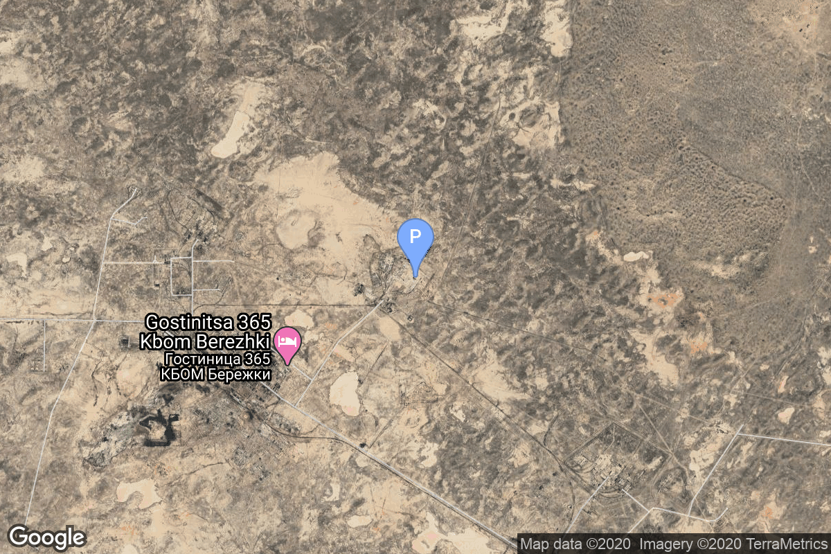
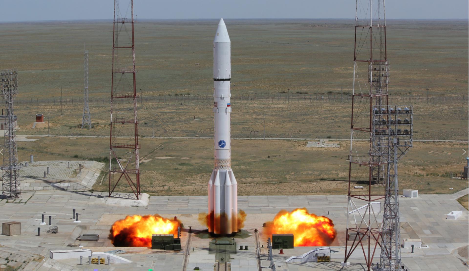
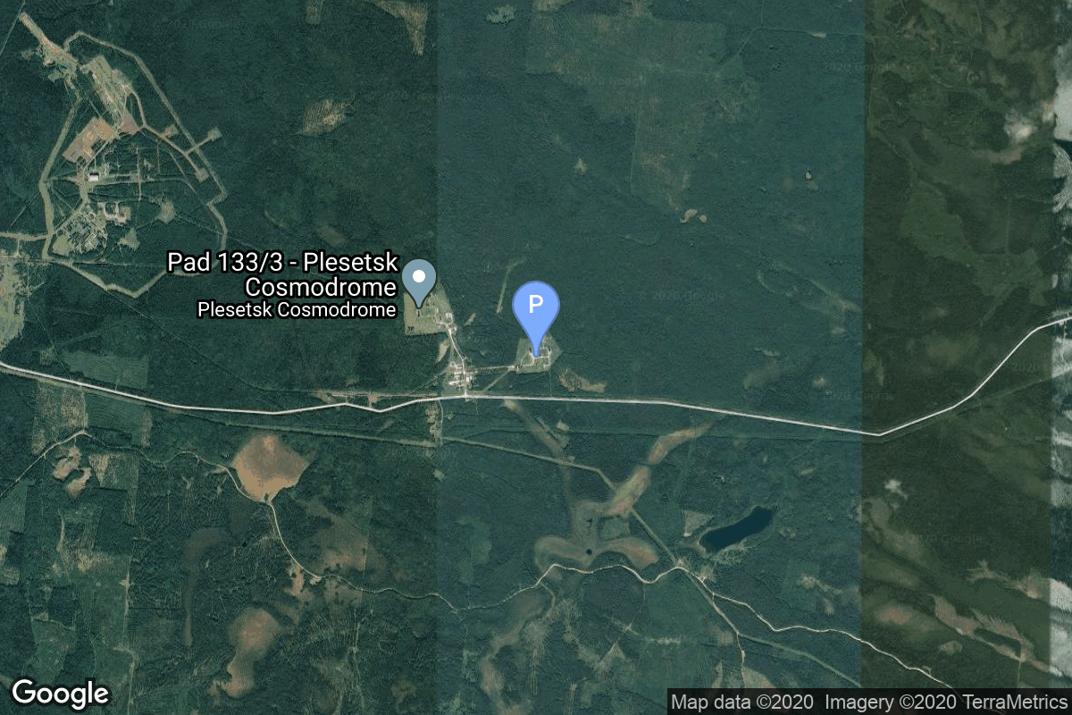
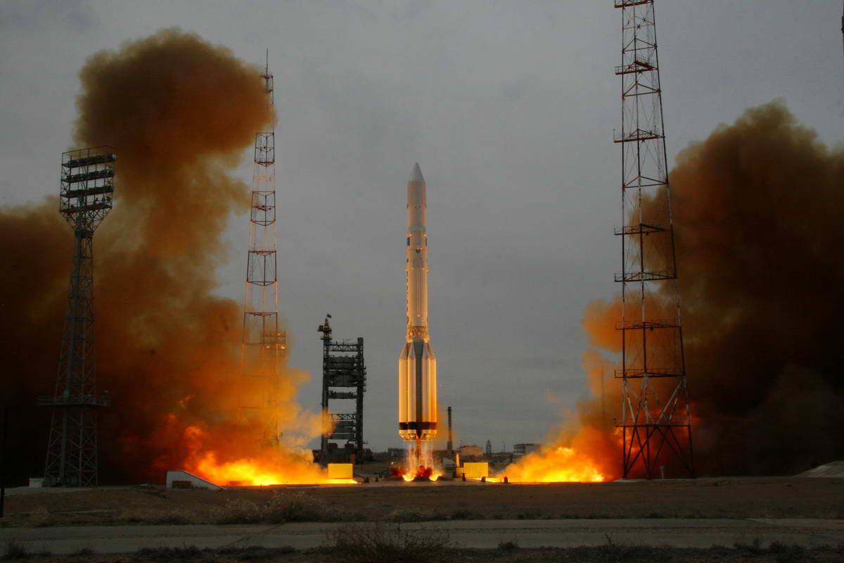
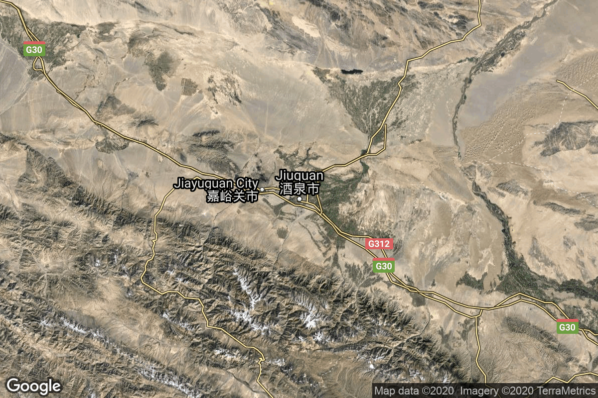
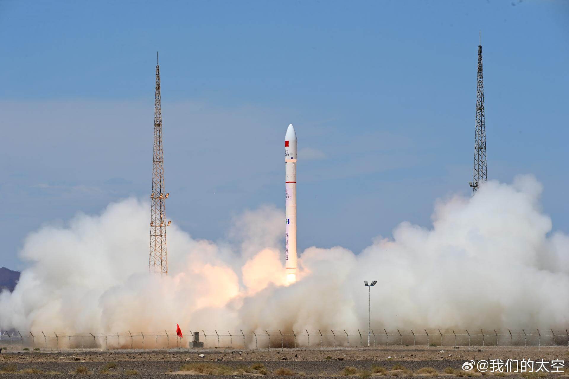
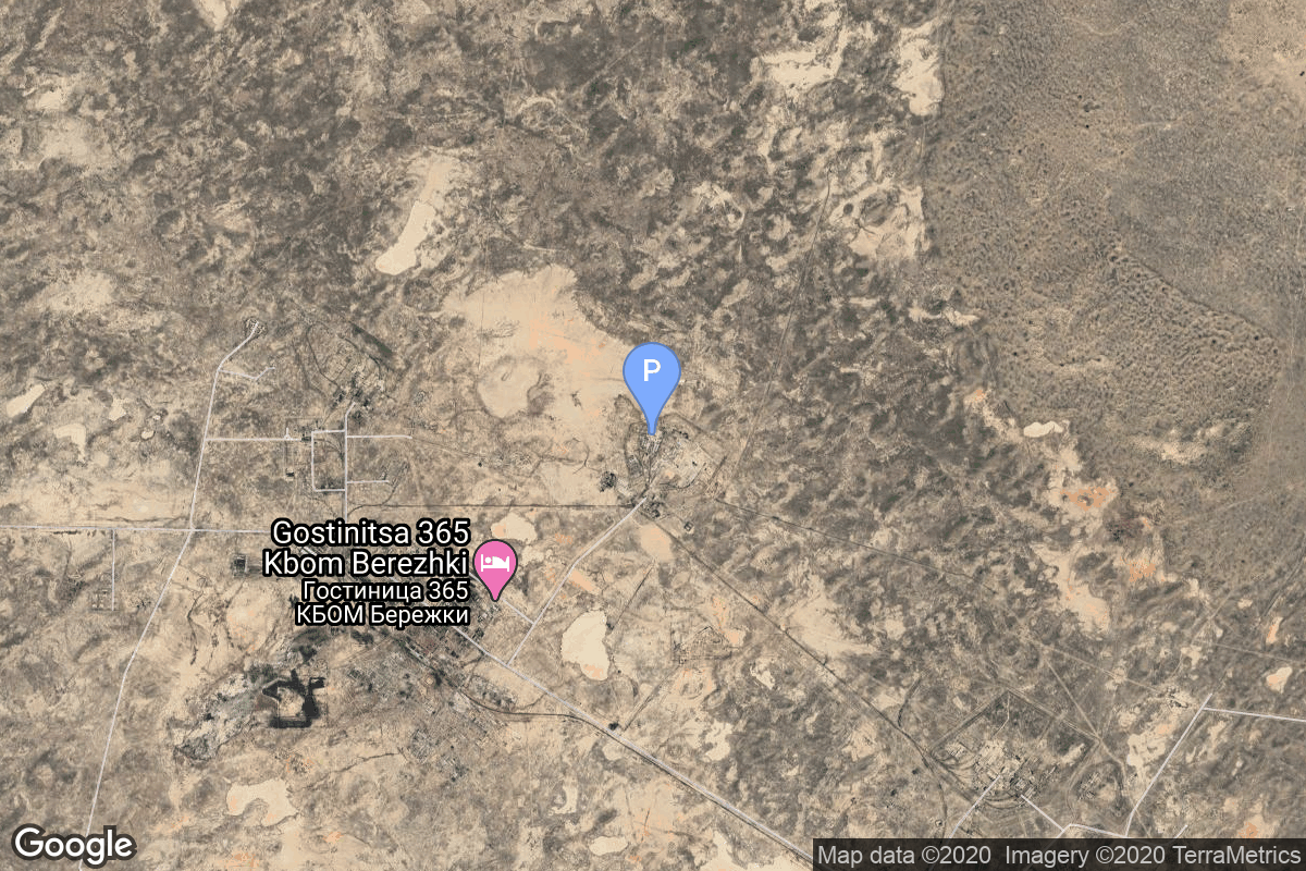
{ "count": 8136, "next": "https://lldev.thespacedevs.com/2.0.0/launch/?format=api&limit=10&offset=6870&ordering=-id", "previous": "https://lldev.thespacedevs.com/2.0.0/launch/?format=api&limit=10&offset=6850&ordering=-id", "results": [ { "id": "29b20430-839c-49ce-a8d2-26ecbf004e8e", "url": "https://lldev.thespacedevs.com/2.0.0/launch/29b20430-839c-49ce-a8d2-26ecbf004e8e/?format=api", "launch_library_id": 511, "slug": "proton-m-briz-m-intelsat-31dla-2", "name": "Proton-M Briz-M | Intelsat 31/DLA-2", "status": { "id": 3, "name": "Success" }, "net": "2016-06-09T07:10:00Z", "window_end": "2016-06-09T07:10:00Z", "window_start": "2016-06-09T07:10:00Z", "inhold": false, "tbdtime": false, "tbddate": false, "probability": null, "holdreason": "", "failreason": null, "hashtag": null, "launch_service_provider": { "id": 118, "url": "https://lldev.thespacedevs.com/2.0.0/agencies/118/?format=api", "name": "International Launch Services", "type": "Commercial" }, "rocket": { "id": 1932, "configuration": { "id": 22, "launch_library_id": 4, "url": "https://lldev.thespacedevs.com/2.0.0/config/launcher/22/?format=api", "name": "Proton-M Briz-M", "family": "Proton / UR-500", "full_name": "Proton-M Briz-M", "variant": "Briz-M" } }, "mission": { "id": 138, "launch_library_id": 196, "name": "Intelsat 31/DLA-2", "description": "Also known as DLA-2, Intelsat 31 is a 6300kg geostationary communications satellite built on the SSL 1300 platform. Co-located at 95 degrees west with Galaxy 3C and Intelsat 30 (DLA-1), the craft will provide services to Latin America. The satellite is equipped with 10 C and 72 Ku-band transponders, with the majority being used by DirectTV for their DTH service. Powered by 2 solar arrays the satellite is expected to remain operational for 15 years.", "launch_designator": null, "type": "Communications", "orbit": { "id": 2, "name": "Geostationary Transfer Orbit", "abbrev": "GTO" } }, "pad": { "id": 7, "url": "https://lldev.thespacedevs.com/2.0.0/pad/7/?format=api", "agency_id": null, "name": "81/24 (81P)", "info_url": null, "wiki_url": "", "map_url": "https://www.google.com/maps?q=46.071001,62.984999", "latitude": "46.071001", "longitude": "62.984999", "location": { "id": 15, "url": "https://lldev.thespacedevs.com/2.0.0/location/15/?format=api", "name": "Baikonur Cosmodrome, Republic of Kazakhstan", "country_code": "KAZ", "map_image": "https://thespacedevs-dev.nyc3.digitaloceanspaces.com/media/map_images/location_15_20200803142517.jpg", "total_launch_count": 1565, "total_landing_count": 0 }, "map_image": "https://thespacedevs-dev.nyc3.digitaloceanspaces.com/media/map_images/pad_7_20200803143454.jpg", "total_launch_count": 93 }, "webcast_live": false, "image": "https://thespacedevs-dev.nyc3.digitaloceanspaces.com/media/images/proton-m2520briz-m_image_20190224012317.jpeg", "infographic": null, "program": [] }, { "id": "29b1af51-c128-4f2b-a4aa-a9bb5b03c3bb", "url": "https://lldev.thespacedevs.com/2.0.0/launch/29b1af51-c128-4f2b-a4aa-a9bb5b03c3bb/?format=api", "launch_library_id": null, "slug": "kosmos-3m-parus-56", "name": "Kosmos-3M | Parus 56", "status": { "id": 3, "name": "Success" }, "net": "1986-11-24T21:43:13Z", "window_end": "1986-11-24T21:43:13Z", "window_start": "1986-11-24T21:43:13Z", "inhold": false, "tbdtime": false, "tbddate": false, "probability": null, "holdreason": "", "failreason": null, "hashtag": null, "launch_service_provider": { "id": 66, "url": "https://lldev.thespacedevs.com/2.0.0/agencies/66/?format=api", "name": "Soviet Space Program", "type": "Government" }, "rocket": { "id": 5914, "configuration": { "id": 102, "launch_library_id": 122, "url": "https://lldev.thespacedevs.com/2.0.0/config/launcher/102/?format=api", "name": "Kosmos-3M", "family": "Kosmos", "full_name": "Kosmos-3M (11K65M)", "variant": "-3M" } }, "mission": { "id": 4310, "launch_library_id": null, "name": "Parus 56", "description": "Navigation satellite providing location information for the Tsiklon-B navigation system", "launch_designator": null, "type": "Navigation", "orbit": { "id": 8, "name": "Low Earth Orbit", "abbrev": "LEO" } }, "pad": { "id": 167, "url": "https://lldev.thespacedevs.com/2.0.0/pad/167/?format=api", "agency_id": null, "name": "132/2", "info_url": null, "wiki_url": "https://en.wikipedia.org/wiki/Plesetsk_Cosmodrome", "map_url": "https://www.google.com/maps?q=62.883,40.869806", "latitude": "62.883", "longitude": "40.869806", "location": { "id": 6, "url": "https://lldev.thespacedevs.com/2.0.0/location/6/?format=api", "name": "Plesetsk Cosmodrome, Russian Federation", "country_code": "RUS", "map_image": "https://thespacedevs-dev.nyc3.digitaloceanspaces.com/media/map_images/location_6_20200803142434.jpg", "total_launch_count": 1689, "total_landing_count": 0 }, "map_image": "https://thespacedevs-dev.nyc3.digitaloceanspaces.com/media/map_images/pad_167_20200803143417.jpg", "total_launch_count": 172 }, "webcast_live": false, "image": "https://thespacedevs-dev.nyc3.digitaloceanspaces.com/media/images/kosmos-3m_durin_image_20251101171325.jpg", "infographic": null, "program": [] }, { "id": "29af550b-b8ab-468f-8e25-ef94acf92290", "url": "https://lldev.thespacedevs.com/2.0.0/launch/29af550b-b8ab-468f-8e25-ef94acf92290/?format=api", "launch_library_id": null, "slug": "proton-uragan-78-79-uragan-m-1", "name": "Proton | Uragan 78, 79 & Uragan-M 1", "status": { "id": 3, "name": "Success" }, "net": "2001-12-01T18:04:44Z", "window_end": "2001-12-01T18:04:44Z", "window_start": "2001-12-01T18:04:44Z", "inhold": false, "tbdtime": false, "tbddate": false, "probability": null, "holdreason": "", "failreason": null, "hashtag": null, "launch_service_provider": { "id": 96, "url": "https://lldev.thespacedevs.com/2.0.0/agencies/96/?format=api", "name": "Khrunichev State Research and Production Space Center", "type": "Government" }, "rocket": { "id": 7067, "configuration": { "id": 80, "launch_library_id": 99, "url": "https://lldev.thespacedevs.com/2.0.0/config/launcher/80/?format=api", "name": "Proton", "family": "Proton / UR-500", "full_name": "Proton K/DM-2", "variant": "K/DM-2" } }, "mission": { "id": 5456, "launch_library_id": null, "name": "Uragan 78, 79 & Uragan-M 1", "description": "GLONASS navigation satellites", "launch_designator": null, "type": "Navigation", "orbit": { "id": 12, "name": "Medium Earth Orbit", "abbrev": "MEO" } }, "pad": { "id": 7, "url": "https://lldev.thespacedevs.com/2.0.0/pad/7/?format=api", "agency_id": null, "name": "81/24 (81P)", "info_url": null, "wiki_url": "", "map_url": "https://www.google.com/maps?q=46.071001,62.984999", "latitude": "46.071001", "longitude": "62.984999", "location": { "id": 15, "url": "https://lldev.thespacedevs.com/2.0.0/location/15/?format=api", "name": "Baikonur Cosmodrome, Republic of Kazakhstan", "country_code": "KAZ", "map_image": "https://thespacedevs-dev.nyc3.digitaloceanspaces.com/media/map_images/location_15_20200803142517.jpg", "total_launch_count": 1565, "total_landing_count": 0 }, "map_image": "https://thespacedevs-dev.nyc3.digitaloceanspaces.com/media/map_images/pad_7_20200803143454.jpg", "total_launch_count": 93 }, "webcast_live": false, "image": "https://thespacedevs-dev.nyc3.digitaloceanspaces.com/media/images/proton_image_20231231095535.jpg", "infographic": null, "program": [ { "id": 34, "url": "https://lldev.thespacedevs.com/2.0.0/program/34/?format=api", "name": "GLONASS", "description": "GLONASS (ГЛОНАСС, IPA: [ɡɫɐˈnas]; Russian: Глобальная навигационная спутниковая система, tr. Global'naya Navigatsionnaya Sputnikovaya Sistema, lit. 'Global Navigation Satellite System') is a Russian satellite navigation system operating as part of a radionavigation-satellite service. It provides an alternative to Global Positioning System (GPS) and is the second navigational system in operation with global coverage and of comparable precision.", "agencies": [ { "id": 63, "url": "https://lldev.thespacedevs.com/2.0.0/agencies/63/?format=api", "name": "Russian Federal Space Agency (ROSCOSMOS)", "type": "Government" } ], "image_url": "https://thespacedevs-dev.nyc3.digitaloceanspaces.com/media/images/glonass_program_20240102170258.png", "start_date": "1982-10-12T00:00:00Z", "end_date": null, "info_url": "https://www.glonass-iac.ru/en/", "wiki_url": "https://en.wikipedia.org/wiki/GLONASS" } ] }, { "id": "299b084d-e218-4bb0-9ed1-fc2863cb177e", "url": "https://lldev.thespacedevs.com/2.0.0/launch/299b084d-e218-4bb0-9ed1-fc2863cb177e/?format=api", "launch_library_id": 1147, "slug": "pegasus-haps-space-test-experiments-platform-2-ste", "name": "Pegasus HAPS | Space Test Experiments Platform 2 (STEP-2)", "status": { "id": 3, "name": "Success" }, "net": "1994-05-19T17:03:00Z", "window_end": "1994-05-19T17:03:00Z", "window_start": "1994-05-19T17:03:00Z", "inhold": false, "tbdtime": false, "tbddate": false, "probability": null, "holdreason": "", "failreason": null, "hashtag": null, "launch_service_provider": { "id": 100, "url": "https://lldev.thespacedevs.com/2.0.0/agencies/100/?format=api", "name": "Orbital Sciences Corporation", "type": "Commercial" }, "rocket": { "id": 375, "configuration": { "id": 132, "launch_library_id": 150, "url": "https://lldev.thespacedevs.com/2.0.0/config/launcher/132/?format=api", "name": "Pegasus HAPS", "family": "Pegasus", "full_name": "Pegasus HAPS", "variant": "HAPS" } }, "mission": null, "pad": { "id": 70, "url": "https://lldev.thespacedevs.com/2.0.0/pad/70/?format=api", "agency_id": 100, "name": "Edwards Air Force Base", "info_url": null, "wiki_url": "https://en.wikipedia.org/wiki/Edwards_Air_Force_Base", "map_url": "https://www.google.com/maps?q=34.905556,-117.883611", "latitude": "34.905556", "longitude": "-117.883611", "location": { "id": 20, "url": "https://lldev.thespacedevs.com/2.0.0/location/20/?format=api", "name": "Air launch to orbit", "country_code": "???", "map_image": "https://thespacedevs-dev.nyc3.digitaloceanspaces.com/media/map_images/location_20_20200803142433.jpg", "total_launch_count": 52, "total_landing_count": 0 }, "map_image": "https://thespacedevs-dev.nyc3.digitaloceanspaces.com/media/map_images/pad_70_20200803143352.jpg", "total_launch_count": 5 }, "webcast_live": false, "image": "https://thespacedevs-dev.nyc3.digitaloceanspaces.com/media/images/pegasus_image_20190830213841.jpg", "infographic": null, "program": [] }, { "id": "299544e0-0a52-4859-86bc-eb7647ce5d86", "url": "https://lldev.thespacedevs.com/2.0.0/launch/299544e0-0a52-4859-86bc-eb7647ce5d86/?format=api", "launch_library_id": null, "slug": "x-15-flight-190", "name": "X-15 | Flight 190", "status": { "id": 3, "name": "Success" }, "net": "1967-10-17T17:40:00Z", "window_end": "1967-10-17T17:50:00Z", "window_start": "1967-10-17T17:40:00Z", "inhold": false, "tbdtime": false, "tbddate": false, "probability": null, "holdreason": "", "failreason": "", "hashtag": null, "launch_service_provider": { "id": 161, "url": "https://lldev.thespacedevs.com/2.0.0/agencies/161/?format=api", "name": "United States Air Force", "type": "Government" }, "rocket": { "id": 2990, "configuration": { "id": 209, "launch_library_id": null, "url": "https://lldev.thespacedevs.com/2.0.0/config/launcher/209/?format=api", "name": "North American X-15", "family": "", "full_name": "North American X-15", "variant": "" } }, "mission": { "id": 1415, "launch_library_id": null, "name": "Flight 190", "description": "Flight 190 of the North American X-15 was a test flight conducted by NASA and the US Air Force in 1967. Piloted by William J. Knight it reached an altitude of 85.5 km.", "launch_designator": null, "type": "Test Flight", "orbit": { "id": 15, "name": "Suborbital", "abbrev": "Sub" } }, "pad": { "id": 112, "url": "https://lldev.thespacedevs.com/2.0.0/pad/112/?format=api", "agency_id": null, "name": "Edwards Air Force Base", "info_url": null, "wiki_url": "https://en.wikipedia.org/wiki/Edwards_Air_Force_Base", "map_url": "https://www.google.com/maps?q=34.905556,-117.883611", "latitude": "34.905556", "longitude": "-117.883611", "location": { "id": 144, "url": "https://lldev.thespacedevs.com/2.0.0/location/144/?format=api", "name": "Air launch to Suborbital flight", "country_code": "???", "map_image": "https://thespacedevs-dev.nyc3.digitaloceanspaces.com/media/map_images/location_144_20200803142439.jpg", "total_launch_count": 86, "total_landing_count": 0 }, "map_image": "https://thespacedevs-dev.nyc3.digitaloceanspaces.com/media/map_images/pad_112_20200803143214.jpg", "total_launch_count": 13 }, "webcast_live": false, "image": "https://thespacedevs-dev.nyc3.digitaloceanspaces.com/media/images/north_american__image_20210813101104.png", "infographic": null, "program": [ { "id": 20, "url": "https://lldev.thespacedevs.com/2.0.0/program/20/?format=api", "name": "X-15", "description": "Experimental hypersonic rocket-powered aircraft.", "agencies": [ { "id": 44, "url": "https://lldev.thespacedevs.com/2.0.0/agencies/44/?format=api", "name": "National Aeronautics and Space Administration", "type": "Government" }, { "id": 161, "url": "https://lldev.thespacedevs.com/2.0.0/agencies/161/?format=api", "name": "United States Air Force", "type": "Government" } ], "image_url": "https://thespacedevs-dev.nyc3.digitaloceanspaces.com/media/images/x-15_program_20210809102752.jpeg", "start_date": "1959-03-10T00:00:00Z", "end_date": "1968-12-12T00:00:00Z", "info_url": null, "wiki_url": "https://en.wikipedia.org/wiki/North_American_X-15" } ] }, { "id": "2994e64d-0261-4a88-a15c-f9bdef6a3f35", "url": "https://lldev.thespacedevs.com/2.0.0/launch/2994e64d-0261-4a88-a15c-f9bdef6a3f35/?format=api", "launch_library_id": null, "slug": "ceres-1-5-satellites-2", "name": "Ceres-1 | 5 satellites", "status": { "id": 3, "name": "Success" }, "net": "2024-05-30T23:39:00Z", "window_end": "2024-05-30T23:52:00Z", "window_start": "2024-05-30T23:27:00Z", "inhold": false, "tbdtime": false, "tbddate": false, "probability": null, "holdreason": "", "failreason": "", "hashtag": null, "launch_service_provider": { "id": 1021, "url": "https://lldev.thespacedevs.com/2.0.0/agencies/1021/?format=api", "name": "Galactic Energy", "type": "Commercial" }, "rocket": { "id": 8252, "configuration": { "id": 461, "launch_library_id": null, "url": "https://lldev.thespacedevs.com/2.0.0/config/launcher/461/?format=api", "name": "Ceres-1", "family": "Ceres-1", "full_name": "Ceres-1", "variant": "Ceres-1" } }, "mission": { "id": 6833, "launch_library_id": null, "name": "5 satellites", "description": "Carried 5 satellites to orbit:\r\n\r\n* Jiguang 01 & 02, a pair of inter-satellite laser communication testing satellites\r\n* Yunyao-1-14/25/26 GNSS occultation weather satellites", "launch_designator": null, "type": "Technology", "orbit": { "id": 17, "name": "Sun-Synchronous Orbit", "abbrev": "SSO" } }, "pad": { "id": 21, "url": "https://lldev.thespacedevs.com/2.0.0/pad/21/?format=api", "agency_id": null, "name": "Launch Area 95A", "info_url": null, "wiki_url": "https://en.wikipedia.org/wiki/Jiuquan_Satellite_Launch_Center", "map_url": "https://www.google.com/maps?q=40.969117,100.343333", "latitude": "40.969117", "longitude": "100.343333", "location": { "id": 17, "url": "https://lldev.thespacedevs.com/2.0.0/location/17/?format=api", "name": "Jiuquan Satellite Launch Center, People's Republic of China", "country_code": "CHN", "map_image": "https://thespacedevs-dev.nyc3.digitaloceanspaces.com/media/map_images/location_17_20200803142429.jpg", "total_launch_count": 303, "total_landing_count": 3 }, "map_image": "https://thespacedevs-dev.nyc3.digitaloceanspaces.com/media/map_images/pad_21_20200803143253.jpg", "total_launch_count": 69 }, "webcast_live": false, "image": "https://thespacedevs-dev.nyc3.digitaloceanspaces.com/media/images/ceres-1_image_20230722081939.jpeg", "infographic": null, "program": [] }, { "id": "298f3c6c-78b2-43a2-a6d9-ef28cc610304", "url": "https://lldev.thespacedevs.com/2.0.0/launch/298f3c6c-78b2-43a2-a6d9-ef28cc610304/?format=api", "launch_library_id": null, "slug": "proton-kdm-2m-gals-1", "name": "Proton-K/DM-2M | Gals 1", "status": { "id": 3, "name": "Success" }, "net": "1994-01-20T09:49:00Z", "window_end": "1994-01-20T09:49:00Z", "window_start": "1994-01-20T09:49:00Z", "inhold": false, "tbdtime": false, "tbddate": false, "probability": null, "holdreason": "", "failreason": null, "hashtag": null, "launch_service_provider": { "id": 96, "url": "https://lldev.thespacedevs.com/2.0.0/agencies/96/?format=api", "name": "Khrunichev State Research and Production Space Center", "type": "Government" }, "rocket": { "id": 6565, "configuration": { "id": 350, "launch_library_id": null, "url": "https://lldev.thespacedevs.com/2.0.0/config/launcher/350/?format=api", "name": "Proton-K/DM-2M", "family": "Proton / UR-500", "full_name": "Proton-K/DM-2M", "variant": "DM-2M" } }, "mission": { "id": 4955, "launch_library_id": null, "name": "Gals 1", "description": "The Gals television broadcasting satellite, originally expected to be launched by December, 1990, was designed to support a variety of direct broadcast customers, including professional broadcasting firms (having antenna 2.5 m in diameter), community associations (receiving antenna 1.5 m), and individuals (receiving antenna 0.6-0.9 m). The year 1994 marked the long awaited debut of the first of the next-generation Russian geosynchronous communications satellites.", "launch_designator": null, "type": "Communications", "orbit": { "id": 1, "name": "Geostationary Orbit", "abbrev": "Direct-GEO" } }, "pad": { "id": 31, "url": "https://lldev.thespacedevs.com/2.0.0/pad/31/?format=api", "agency_id": null, "name": "81/23 (81L)", "info_url": null, "wiki_url": "", "map_url": "https://www.google.com/maps?q=46.073997,62.977999", "latitude": "46.073997", "longitude": "62.977999", "location": { "id": 15, "url": "https://lldev.thespacedevs.com/2.0.0/location/15/?format=api", "name": "Baikonur Cosmodrome, Republic of Kazakhstan", "country_code": "KAZ", "map_image": "https://thespacedevs-dev.nyc3.digitaloceanspaces.com/media/map_images/location_15_20200803142517.jpg", "total_launch_count": 1565, "total_landing_count": 0 }, "map_image": "https://thespacedevs-dev.nyc3.digitaloceanspaces.com/media/map_images/pad_31_20200803143402.jpg", "total_launch_count": 104 }, "webcast_live": false, "image": "https://thespacedevs-dev.nyc3.digitaloceanspaces.com/media/images/proton_image_20231231095535.jpg", "infographic": null, "program": [] }, { "id": "298b631d-8d10-4194-8125-97ffa9a255ae", "url": "https://lldev.thespacedevs.com/2.0.0/launch/298b631d-8d10-4194-8125-97ffa9a255ae/?format=api", "launch_library_id": null, "slug": "kosmos-3m-taifun-1b-1", "name": "Kosmos-3M | Taifun-1B 1", "status": { "id": 3, "name": "Success" }, "net": "1979-12-05T09:00:00Z", "window_end": "1979-12-05T09:00:00Z", "window_start": "1979-12-05T09:00:00Z", "inhold": false, "tbdtime": false, "tbddate": false, "probability": null, "holdreason": "", "failreason": null, "hashtag": null, "launch_service_provider": { "id": 66, "url": "https://lldev.thespacedevs.com/2.0.0/agencies/66/?format=api", "name": "Soviet Space Program", "type": "Government" }, "rocket": { "id": 5131, "configuration": { "id": 102, "launch_library_id": 122, "url": "https://lldev.thespacedevs.com/2.0.0/config/launcher/102/?format=api", "name": "Kosmos-3M", "family": "Kosmos", "full_name": "Kosmos-3M (11K65M)", "variant": "-3M" } }, "mission": { "id": 3542, "launch_library_id": null, "name": "Taifun-1B 1", "description": "Passive radar calibration satellite", "launch_designator": null, "type": "Test Target", "orbit": { "id": 8, "name": "Low Earth Orbit", "abbrev": "LEO" } }, "pad": { "id": 167, "url": "https://lldev.thespacedevs.com/2.0.0/pad/167/?format=api", "agency_id": null, "name": "132/2", "info_url": null, "wiki_url": "https://en.wikipedia.org/wiki/Plesetsk_Cosmodrome", "map_url": "https://www.google.com/maps?q=62.883,40.869806", "latitude": "62.883", "longitude": "40.869806", "location": { "id": 6, "url": "https://lldev.thespacedevs.com/2.0.0/location/6/?format=api", "name": "Plesetsk Cosmodrome, Russian Federation", "country_code": "RUS", "map_image": "https://thespacedevs-dev.nyc3.digitaloceanspaces.com/media/map_images/location_6_20200803142434.jpg", "total_launch_count": 1689, "total_landing_count": 0 }, "map_image": "https://thespacedevs-dev.nyc3.digitaloceanspaces.com/media/map_images/pad_167_20200803143417.jpg", "total_launch_count": 172 }, "webcast_live": false, "image": "https://thespacedevs-dev.nyc3.digitaloceanspaces.com/media/images/kosmos-3m_durin_image_20251101171325.jpg", "infographic": null, "program": [] }, { "id": "2983a714-53e2-4b4a-8757-ade478d63232", "url": "https://lldev.thespacedevs.com/2.0.0/launch/2983a714-53e2-4b4a-8757-ade478d63232/?format=api", "launch_library_id": null, "slug": "long-march-6a-satnet-leo-group-09", "name": "Long March 6A | SatNet LEO Group 09", "status": { "id": 3, "name": "Success" }, "net": "2025-08-17T14:15:00Z", "window_end": "2025-08-17T14:23:00Z", "window_start": "2025-08-17T14:07:00Z", "inhold": false, "tbdtime": false, "tbddate": false, "probability": null, "holdreason": "", "failreason": "", "hashtag": null, "launch_service_provider": { "id": 88, "url": "https://lldev.thespacedevs.com/2.0.0/agencies/88/?format=api", "name": "China Aerospace Science and Technology Corporation", "type": "Government" }, "rocket": { "id": 8681, "configuration": { "id": 478, "launch_library_id": null, "url": "https://lldev.thespacedevs.com/2.0.0/config/launcher/478/?format=api", "name": "Long March 6A", "family": "Long March", "full_name": "Long March 6A", "variant": "A" } }, "mission": { "id": 7273, "launch_library_id": null, "name": "SatNet LEO Group 09", "description": "A batch of 5 Low Earth Orbit communication satellites for the Chinese state owned SatNet constellation operated by the China Satellite Network Group.\r\n\r\nThe constellation will eventually consists of 13000 satellites.", "launch_designator": null, "type": "Communications", "orbit": { "id": 13, "name": "Polar Orbit", "abbrev": "PO" } }, "pad": { "id": 200, "url": "https://lldev.thespacedevs.com/2.0.0/pad/200/?format=api", "agency_id": null, "name": "Launch Complex 9A", "info_url": null, "wiki_url": null, "map_url": "https://www.google.com/maps?q=38.8583,111.5802", "latitude": "38.8583", "longitude": "111.5802", "location": { "id": 19, "url": "https://lldev.thespacedevs.com/2.0.0/location/19/?format=api", "name": "Taiyuan Satellite Launch Center, People's Republic of China", "country_code": "CHN", "map_image": "https://thespacedevs-dev.nyc3.digitaloceanspaces.com/media/map_images/location_19_20200803142421.jpg", "total_launch_count": 163, "total_landing_count": 0 }, "map_image": "https://thespacedevs-dev.nyc3.digitaloceanspaces.com/media/map_images/pad_launch_complex_9a_20220330003717.jpg", "total_launch_count": 30 }, "webcast_live": false, "image": "https://thespacedevs-dev.nyc3.digitaloceanspaces.com/media/images/long_march_6a__image_20251209050223.jpeg", "infographic": null, "program": [] }, { "id": "297ee155-8f7d-4665-b7c4-aa6797c65985", "url": "https://lldev.thespacedevs.com/2.0.0/launch/297ee155-8f7d-4665-b7c4-aa6797c65985/?format=api", "launch_library_id": null, "slug": "thorad-slv-2h-agena-d-strawman-4", "name": "Thorad SLV-2H Agena D | Strawman 4", "status": { "id": 3, "name": "Success" }, "net": "1971-07-16T10:49:00Z", "window_end": "1971-07-16T10:49:00Z", "window_start": "1971-07-16T10:49:00Z", "inhold": false, "tbdtime": false, "tbddate": false, "probability": null, "holdreason": "", "failreason": null, "hashtag": null, "launch_service_provider": { "id": 161, "url": "https://lldev.thespacedevs.com/2.0.0/agencies/161/?format=api", "name": "United States Air Force", "type": "Government" }, "rocket": { "id": 4152, "configuration": { "id": 419, "launch_library_id": null, "url": "https://lldev.thespacedevs.com/2.0.0/config/launcher/419/?format=api", "name": "Thorad SLV-2H Agena D", "family": "Thor", "full_name": "Thorad SLV-2H Agena D", "variant": "SLV-2H Agena D" } }, "mission": { "id": 2570, "launch_library_id": null, "name": "Strawman 4", "description": "The Strawman series of ELINT/SIGINT satellites, known for decades only as \"Heavy Ferrets\", are the fourth variation of Agena-based ELINT satellites. These satellites were designed to detect, map and investigate SAM and ABM radars.", "launch_designator": null, "type": "Government/Top Secret", "orbit": { "id": 8, "name": "Low Earth Orbit", "abbrev": "LEO" } }, "pad": { "id": 95, "url": "https://lldev.thespacedevs.com/2.0.0/pad/95/?format=api", "agency_id": 161, "name": "Space Launch Complex 1W", "info_url": null, "wiki_url": "https://en.wikipedia.org/wiki/Vandenberg_Space_Launch_Complex_1", "map_url": "https://www.google.com/maps?q=34.7572,-120.6303", "latitude": "34.7572", "longitude": "-120.6303", "location": { "id": 11, "url": "https://lldev.thespacedevs.com/2.0.0/location/11/?format=api", "name": "Vandenberg SFB, CA, USA", "country_code": "USA", "map_image": "https://thespacedevs-dev.nyc3.digitaloceanspaces.com/media/map_images/location_11_20200803142416.jpg", "total_launch_count": 924, "total_landing_count": 37 }, "map_image": "https://thespacedevs-dev.nyc3.digitaloceanspaces.com/media/map_images/pad_95_20200803143209.jpg", "total_launch_count": 56 }, "webcast_live": false, "image": "https://thespacedevs-dev.nyc3.digitaloceanspaces.com/media/images/thorad-slv2h_ag_image_20251204211604.png", "infographic": null, "program": [] } ] }