Launch List
API endpoint that returns all Launch objects or a single launch.
EXAMPLE - /launch/
GET: Return a list of all Launch objects.
FILTERS: Fields - 'name', 'id(s)', 'lsp_id', 'lsp_name', 'serial_number', 'launcher_config__id', 'rocket__spacecraftflight__spacecraft__name'
MODE: 'normal', 'list', 'detailed' EXAMPLE: ?mode=list
SEARCH: Searches through the launch name, rocket name, launch agency, mission name & spacecraft name. EXAMPLE - ?search=SpaceX
GET /2.0.0/launch/?format=api&offset=6850&ordering=-id
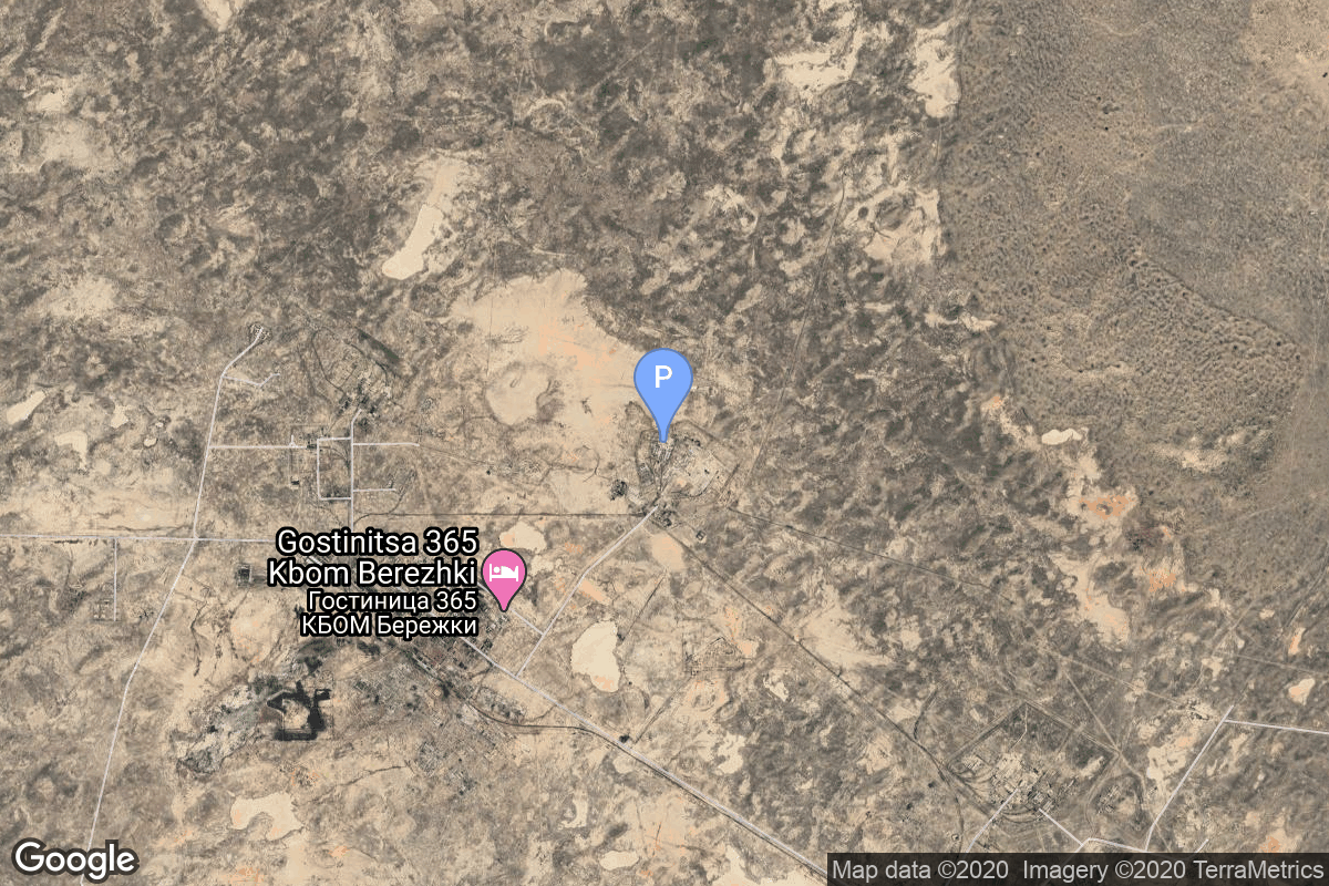
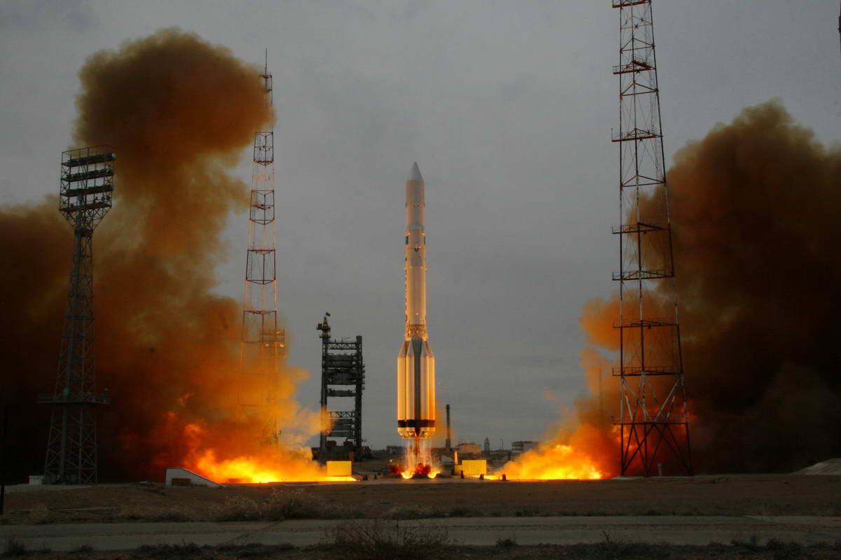
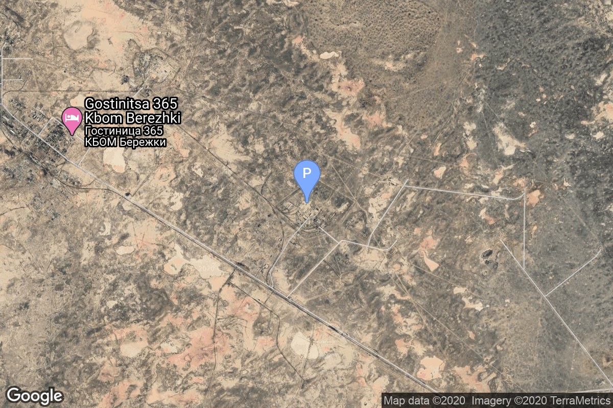
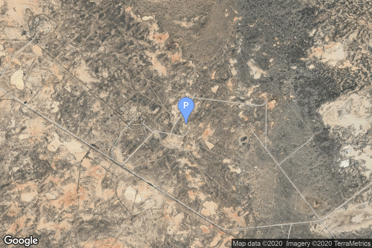
{ "count": 8136, "next": "https://lldev.thespacedevs.com/2.0.0/launch/?format=api&limit=10&offset=6860&ordering=-id", "previous": "https://lldev.thespacedevs.com/2.0.0/launch/?format=api&limit=10&offset=6840&ordering=-id", "results": [ { "id": "29e763e8-2874-4a9d-9aab-049acb42b458", "url": "https://lldev.thespacedevs.com/2.0.0/launch/29e763e8-2874-4a9d-9aab-049acb42b458/?format=api", "launch_library_id": null, "slug": "proton-potok-7", "name": "Proton | Potok 7", "status": { "id": 3, "name": "Success" }, "net": "1991-11-22T13:27:00Z", "window_end": "1991-11-22T13:27:00Z", "window_start": "1991-11-22T13:27:00Z", "inhold": false, "tbdtime": false, "tbddate": false, "probability": null, "holdreason": "", "failreason": null, "hashtag": null, "launch_service_provider": { "id": 66, "url": "https://lldev.thespacedevs.com/2.0.0/agencies/66/?format=api", "name": "Soviet Space Program", "type": "Government" }, "rocket": { "id": 6407, "configuration": { "id": 80, "launch_library_id": 99, "url": "https://lldev.thespacedevs.com/2.0.0/config/launcher/80/?format=api", "name": "Proton", "family": "Proton / UR-500", "full_name": "Proton K/DM-2", "variant": "K/DM-2" } }, "mission": { "id": 4797, "launch_library_id": null, "name": "Potok 7", "description": "Geostationary military relay satellite", "launch_designator": null, "type": "Communications", "orbit": { "id": 1, "name": "Geostationary Orbit", "abbrev": "Direct-GEO" } }, "pad": { "id": 31, "url": "https://lldev.thespacedevs.com/2.0.0/pad/31/?format=api", "agency_id": null, "name": "81/23 (81L)", "info_url": null, "wiki_url": "", "map_url": "https://www.google.com/maps?q=46.073997,62.977999", "latitude": "46.073997", "longitude": "62.977999", "location": { "id": 15, "url": "https://lldev.thespacedevs.com/2.0.0/location/15/?format=api", "name": "Baikonur Cosmodrome, Republic of Kazakhstan", "country_code": "KAZ", "map_image": "https://thespacedevs-dev.nyc3.digitaloceanspaces.com/media/map_images/location_15_20200803142517.jpg", "total_launch_count": 1565, "total_landing_count": 0 }, "map_image": "https://thespacedevs-dev.nyc3.digitaloceanspaces.com/media/map_images/pad_31_20200803143402.jpg", "total_launch_count": 104 }, "webcast_live": false, "image": "https://thespacedevs-dev.nyc3.digitaloceanspaces.com/media/images/proton_image_20231231095535.jpg", "infographic": null, "program": [] }, { "id": "29dada6b-989c-4920-b410-2f7bfb2a1c30", "url": "https://lldev.thespacedevs.com/2.0.0/launch/29dada6b-989c-4920-b410-2f7bfb2a1c30/?format=api", "launch_library_id": null, "slug": "proton-k17s40-integral", "name": "Proton-K/17S40 | Integral", "status": { "id": 3, "name": "Success" }, "net": "2002-10-17T04:41:00Z", "window_end": "2002-10-17T04:41:00Z", "window_start": "2002-10-17T04:41:00Z", "inhold": false, "tbdtime": false, "tbddate": false, "probability": null, "holdreason": "", "failreason": null, "hashtag": null, "launch_service_provider": { "id": 96, "url": "https://lldev.thespacedevs.com/2.0.0/agencies/96/?format=api", "name": "Khrunichev State Research and Production Space Center", "type": "Government" }, "rocket": { "id": 7108, "configuration": { "id": 345, "launch_library_id": null, "url": "https://lldev.thespacedevs.com/2.0.0/config/launcher/345/?format=api", "name": "Proton-K/17S40", "family": "Proton / UR-500", "full_name": "Proton-K/17S40", "variant": "17S40" } }, "mission": { "id": 5497, "launch_library_id": null, "name": "Integral", "description": "European gamma ray astronomy satellite. INTEGRAL (INTErnational Gamma Ray Astrophysics Laboratory) was a European (ESA) astrophysics satellite.", "launch_designator": null, "type": "Astrophysics", "orbit": { "id": 0, "name": "Elliptical Orbit", "abbrev": "Elliptical" } }, "pad": { "id": 15, "url": "https://lldev.thespacedevs.com/2.0.0/pad/15/?format=api", "agency_id": null, "name": "200/39 (200L)", "info_url": null, "wiki_url": "", "map_url": "https://www.google.com/maps?q=46.039984,63.032093", "latitude": "46.039984", "longitude": "63.032093", "location": { "id": 15, "url": "https://lldev.thespacedevs.com/2.0.0/location/15/?format=api", "name": "Baikonur Cosmodrome, Republic of Kazakhstan", "country_code": "KAZ", "map_image": "https://thespacedevs-dev.nyc3.digitaloceanspaces.com/media/map_images/location_15_20200803142517.jpg", "total_launch_count": 1565, "total_landing_count": 0 }, "map_image": "https://thespacedevs-dev.nyc3.digitaloceanspaces.com/media/map_images/pad_15_20200803143530.jpg", "total_launch_count": 167 }, "webcast_live": false, "image": "https://thespacedevs-dev.nyc3.digitaloceanspaces.com/media/images/proton_image_20231231095535.jpg", "infographic": null, "program": [] }, { "id": "29d5909e-47ac-4958-9934-738f7ca5b00a", "url": "https://lldev.thespacedevs.com/2.0.0/launch/29d5909e-47ac-4958-9934-738f7ca5b00a/?format=api", "launch_library_id": null, "slug": "r-36o-8k69-ogch-15", "name": "R-36O 8K69 | OGCh 15", "status": { "id": 3, "name": "Success" }, "net": "1967-10-18T13:30:01Z", "window_end": "1967-10-18T13:30:01Z", "window_start": "1967-10-18T13:30:01Z", "inhold": false, "tbdtime": false, "tbddate": false, "probability": null, "holdreason": "", "failreason": null, "hashtag": null, "launch_service_provider": { "id": 66, "url": "https://lldev.thespacedevs.com/2.0.0/agencies/66/?format=api", "name": "Soviet Space Program", "type": "Government" }, "rocket": { "id": 3716, "configuration": { "id": 351, "launch_library_id": null, "url": "https://lldev.thespacedevs.com/2.0.0/config/launcher/351/?format=api", "name": "R-36O 8K69", "family": "R-36O", "full_name": "R-36O 8K69", "variant": "8K69" } }, "mission": { "id": 2134, "launch_library_id": null, "name": "OGCh 15", "description": "Missile equipped with the 8F021 warhead", "launch_designator": null, "type": "Government/Top Secret", "orbit": { "id": 8, "name": "Low Earth Orbit", "abbrev": "LEO" } }, "pad": { "id": 160, "url": "https://lldev.thespacedevs.com/2.0.0/pad/160/?format=api", "agency_id": null, "name": "161/35", "info_url": null, "wiki_url": "https://en.wikipedia.org/wiki/Baikonur_Cosmodrome", "map_url": "https://www.google.com/maps?q=46.034,63.060806", "latitude": "46.034", "longitude": "63.060806", "location": { "id": 15, "url": "https://lldev.thespacedevs.com/2.0.0/location/15/?format=api", "name": "Baikonur Cosmodrome, Republic of Kazakhstan", "country_code": "KAZ", "map_image": "https://thespacedevs-dev.nyc3.digitaloceanspaces.com/media/map_images/location_15_20200803142517.jpg", "total_launch_count": 1565, "total_landing_count": 0 }, "map_image": "https://thespacedevs-dev.nyc3.digitaloceanspaces.com/media/map_images/pad_160_20200803143414.jpg", "total_launch_count": 7 }, "webcast_live": false, "image": "https://thespacedevs-dev.nyc3.digitaloceanspaces.com/media/images/r-360_during_fl_image_20251102175933.jpg", "infographic": null, "program": [] }, { "id": "29d37ca6-7190-4b5d-82e6-3cbf49e4d8dc", "url": "https://lldev.thespacedevs.com/2.0.0/launch/29d37ca6-7190-4b5d-82e6-3cbf49e4d8dc/?format=api", "launch_library_id": 1550, "slug": "delta-ii-7925-95-gps-iir-m-7-usa-203", "name": "Delta II 7925-9.5 | GPS IIR-M-7 (USA-203)", "status": { "id": 3, "name": "Success" }, "net": "2009-03-24T08:34:00Z", "window_end": "2009-03-24T08:34:00Z", "window_start": "2009-03-24T08:34:00Z", "inhold": false, "tbdtime": false, "tbddate": false, "probability": 0, "holdreason": "", "failreason": "", "hashtag": "", "launch_service_provider": { "id": 124, "url": "https://lldev.thespacedevs.com/2.0.0/agencies/124/?format=api", "name": "United Launch Alliance", "type": "Commercial" }, "rocket": { "id": 1411, "configuration": { "id": 140, "launch_library_id": 181, "url": "https://lldev.thespacedevs.com/2.0.0/config/launcher/140/?format=api", "name": "Delta II", "family": "Delta", "full_name": "Delta II 7925-9.5", "variant": "7925-9.5" } }, "mission": { "id": 551, "launch_library_id": 707, "name": "GPS IIR-M-7 (USA-203)", "description": "A satellite forming part of the Global Positioning System.", "launch_designator": null, "type": "Navigation", "orbit": { "id": 12, "name": "Medium Earth Orbit", "abbrev": "MEO" } }, "pad": { "id": 14, "url": "https://lldev.thespacedevs.com/2.0.0/pad/14/?format=api", "agency_id": null, "name": "Space Launch Complex 17A", "info_url": null, "wiki_url": "https://en.wikipedia.org/wiki/Cape_Canaveral_Space_Launch_Complex_17", "map_url": "https://www.google.com/maps?q=28.4472,-80.565", "latitude": "28.4472", "longitude": "-80.565", "location": { "id": 12, "url": "https://lldev.thespacedevs.com/2.0.0/location/12/?format=api", "name": "Cape Canaveral SFS, FL, USA", "country_code": "USA", "map_image": "https://thespacedevs-dev.nyc3.digitaloceanspaces.com/media/map_images/location_12_20200803142519.jpg", "total_launch_count": 1132, "total_landing_count": 83 }, "map_image": "https://thespacedevs-dev.nyc3.digitaloceanspaces.com/media/map_images/pad_14_20200803143451.jpg", "total_launch_count": 145 }, "webcast_live": false, "image": "https://thespacedevs-dev.nyc3.digitaloceanspaces.com/media/images/delta_ii_7925-9_image_20240312090356.jpeg", "infographic": null, "program": [] }, { "id": "29cf6d14-08cd-468d-ba68-86640439f17e", "url": "https://lldev.thespacedevs.com/2.0.0/launch/29cf6d14-08cd-468d-ba68-86640439f17e/?format=api", "launch_library_id": 1528, "slug": "delta-iv-m42-gps-iii-sv02", "name": "Delta IV M+(4,2) | GPS III SV02", "status": { "id": 3, "name": "Success" }, "net": "2019-08-22T13:06:00Z", "window_end": "2019-08-22T13:27:00Z", "window_start": "2019-08-22T13:00:30Z", "inhold": false, "tbdtime": false, "tbddate": false, "probability": 80, "holdreason": "", "failreason": "", "hashtag": "#GPSIIISV02", "launch_service_provider": { "id": 124, "url": "https://lldev.thespacedevs.com/2.0.0/agencies/124/?format=api", "name": "United Launch Alliance", "type": "Commercial" }, "rocket": { "id": 101, "configuration": { "id": 33, "launch_library_id": 40, "url": "https://lldev.thespacedevs.com/2.0.0/config/launcher/33/?format=api", "name": "Delta IV M+(4,2)", "family": "Delta", "full_name": "Delta IV M+(4,2)", "variant": "M+(4,2)" } }, "mission": { "id": 984, "launch_library_id": 1194, "name": "GPS III SV02 \"Magellan\"", "description": "GPS-IIIA (Global Positioning System) is the first evolution stage of the third generation of the GPS satellites. It consists of the first ten (known as \"tranche\") of GPS III satellites.", "launch_designator": null, "type": "Navigation", "orbit": { "id": 12, "name": "Medium Earth Orbit", "abbrev": "MEO" } }, "pad": { "id": 38, "url": "https://lldev.thespacedevs.com/2.0.0/pad/38/?format=api", "agency_id": null, "name": "Space Launch Complex 37B", "info_url": null, "wiki_url": "https://en.wikipedia.org/wiki/Cape_Canaveral_Air_Force_Station_Space_Launch_Complex_37", "map_url": "https://www.google.com/maps?q=28.5317,-80.56495", "latitude": "28.5317", "longitude": "-80.56495", "location": { "id": 12, "url": "https://lldev.thespacedevs.com/2.0.0/location/12/?format=api", "name": "Cape Canaveral SFS, FL, USA", "country_code": "USA", "map_image": "https://thespacedevs-dev.nyc3.digitaloceanspaces.com/media/map_images/location_12_20200803142519.jpg", "total_launch_count": 1132, "total_landing_count": 83 }, "map_image": "https://thespacedevs-dev.nyc3.digitaloceanspaces.com/media/map_images/pad_38_20200803143515.jpg", "total_launch_count": 40 }, "webcast_live": false, "image": "https://thespacedevs-dev.nyc3.digitaloceanspaces.com/media/images/delta_iv_m252b_image_20220302002926.jpeg", "infographic": "https://thespacedevs-dev.nyc3.digitaloceanspaces.com/media/infographic_images/delta2520iv25_infographic_20200806035622.png", "program": [ { "id": 29, "url": "https://lldev.thespacedevs.com/2.0.0/program/29/?format=api", "name": "Global Positioning System", "description": "The Global Positioning System (GPS), originally Navstar GPS, is a satellite-based radio navigation system owned by the United States government and operated by the United States Space Force. It is one of the global navigation satellite systems (GNSS) that provide geolocation and time information to a GPS receiver anywhere on or near the Earth where there is an unobstructed line of sight to four or more GPS satellites.", "agencies": [ { "id": 1041, "url": "https://lldev.thespacedevs.com/2.0.0/agencies/1041/?format=api", "name": "United States Space Force", "type": "Government" } ], "image_url": "https://thespacedevs-dev.nyc3.digitaloceanspaces.com/media/images/global2520posi_program_20231229182501.png", "start_date": "1978-02-22T00:00:00Z", "end_date": null, "info_url": "https://www.gps.gov/", "wiki_url": "https://en.wikipedia.org/wiki/Global_Positioning_System" } ] }, { "id": "29cd8193-29c8-4d7d-8de6-a0e45e9db6e5", "url": "https://lldev.thespacedevs.com/2.0.0/launch/29cd8193-29c8-4d7d-8de6-a0e45e9db6e5/?format=api", "launch_library_id": null, "slug": "ariane-44lp-intelsat-701", "name": "Ariane 44LP | INTELSAT 701", "status": { "id": 3, "name": "Success" }, "net": "1993-10-22T06:46:00Z", "window_end": "1993-10-22T06:46:00Z", "window_start": "1993-10-22T06:46:00Z", "inhold": false, "tbdtime": false, "tbddate": false, "probability": null, "holdreason": "", "failreason": null, "hashtag": null, "launch_service_provider": { "id": 115, "url": "https://lldev.thespacedevs.com/2.0.0/agencies/115/?format=api", "name": "Arianespace", "type": "Commercial" }, "rocket": { "id": 6552, "configuration": { "id": 226, "launch_library_id": null, "url": "https://lldev.thespacedevs.com/2.0.0/config/launcher/226/?format=api", "name": "Ariane 44LP", "family": "Ariane", "full_name": "Ariane 44LP", "variant": "44LP" } }, "mission": { "id": 4942, "launch_library_id": null, "name": "INTELSAT 701", "description": "The nine high-powered Space Systems/Loral (SS/L) spacecraft of the Intelsat 7/7A program, which provide global dissemination of voice, video, and data transmission services, have been launched and are in orbit.", "launch_designator": null, "type": "Communications", "orbit": { "id": 1, "name": "Geostationary Orbit", "abbrev": "Direct-GEO" } }, "pad": { "id": 124, "url": "https://lldev.thespacedevs.com/2.0.0/pad/124/?format=api", "agency_id": 115, "name": "Ariane Launch Area 2", "info_url": null, "wiki_url": "https://en.wikipedia.org/wiki/ELA-2", "map_url": "https://www.google.com/maps?q=5.232,-52.778194", "latitude": "5.232", "longitude": "-52.778194", "location": { "id": 13, "url": "https://lldev.thespacedevs.com/2.0.0/location/13/?format=api", "name": "Guiana Space Centre, French Guiana", "country_code": "GUF", "map_image": "https://thespacedevs-dev.nyc3.digitaloceanspaces.com/media/map_images/location_13_20200803142412.jpg", "total_launch_count": 336, "total_landing_count": 0 }, "map_image": "https://thespacedevs-dev.nyc3.digitaloceanspaces.com/media/map_images/pad_124_20200803143241.jpg", "total_launch_count": 119 }, "webcast_live": false, "image": "https://thespacedevs-dev.nyc3.digitaloceanspaces.com/media/images/ariane_44lp_at__image_20240401083402.png", "infographic": null, "program": [] }, { "id": "29cc6eaf-7f2e-4782-a4e3-eba4a64aa38b", "url": "https://lldev.thespacedevs.com/2.0.0/launch/29cc6eaf-7f2e-4782-a4e3-eba4a64aa38b/?format=api", "launch_library_id": null, "slug": "kosmos-11k63-ds-u1-ik-1", "name": "Kosmos 11K63 | DS-U1-IK 1", "status": { "id": 3, "name": "Success" }, "net": "1969-12-25T09:59:51Z", "window_end": "1969-12-25T09:59:51Z", "window_start": "1969-12-25T09:59:51Z", "inhold": false, "tbdtime": false, "tbddate": false, "probability": null, "holdreason": "", "failreason": null, "hashtag": null, "launch_service_provider": { "id": 66, "url": "https://lldev.thespacedevs.com/2.0.0/agencies/66/?format=api", "name": "Soviet Space Program", "type": "Government" }, "rocket": { "id": 3970, "configuration": { "id": 327, "launch_library_id": null, "url": "https://lldev.thespacedevs.com/2.0.0/config/launcher/327/?format=api", "name": "Kosmos 11K63", "family": "Kosmos", "full_name": "Kosmos 11K63", "variant": "11K63" } }, "mission": { "id": 2388, "launch_library_id": null, "name": "DS-U1-IK 1", "description": "Satellite designed to investigate the ionosphere.", "launch_designator": null, "type": "Earth Science", "orbit": { "id": 8, "name": "Low Earth Orbit", "abbrev": "LEO" } }, "pad": { "id": 140, "url": "https://lldev.thespacedevs.com/2.0.0/pad/140/?format=api", "agency_id": null, "name": "86/4", "info_url": null, "wiki_url": "https://en.wikipedia.org/wiki/Kapustin_Yar", "map_url": "https://www.google.com/maps?q=48.56935,46.293219", "latitude": "48.56935", "longitude": "46.293219", "location": { "id": 30, "url": "https://lldev.thespacedevs.com/2.0.0/location/30/?format=api", "name": "Kapustin Yar, Russian Federation", "country_code": "RUS", "map_image": "https://thespacedevs-dev.nyc3.digitaloceanspaces.com/media/map_images/location_30_20200803142515.jpg", "total_launch_count": 101, "total_landing_count": 0 }, "map_image": "https://thespacedevs-dev.nyc3.digitaloceanspaces.com/media/map_images/pad_140_20200803143350.jpg", "total_launch_count": 24 }, "webcast_live": false, "image": "https://thespacedevs-dev.nyc3.digitaloceanspaces.com/media/images/kosmos_11k63_image_20251104091702.jpg", "infographic": null, "program": [] }, { "id": "29c2b843-540d-40da-b200-d4892d74e140", "url": "https://lldev.thespacedevs.com/2.0.0/launch/29c2b843-540d-40da-b200-d4892d74e140/?format=api", "launch_library_id": null, "slug": "atlas-v-n22-starliner-2", "name": "Atlas V N22 | Starliner-2", "status": { "id": 2, "name": "TBD" }, "net": "2028-12-31T00:00:00Z", "window_end": "2028-12-31T00:00:00Z", "window_start": "2028-12-31T00:00:00Z", "inhold": false, "tbdtime": true, "tbddate": true, "probability": null, "holdreason": "", "failreason": "", "hashtag": null, "launch_service_provider": { "id": 124, "url": "https://lldev.thespacedevs.com/2.0.0/agencies/124/?format=api", "name": "United Launch Alliance", "type": "Commercial" }, "rocket": { "id": 34, "configuration": { "id": 166, "launch_library_id": 118, "url": "https://lldev.thespacedevs.com/2.0.0/config/launcher/166/?format=api", "name": "Atlas V N22", "family": "Atlas", "full_name": "Atlas V N22", "variant": "V N22" } }, "mission": { "id": 5987, "launch_library_id": null, "name": "Starliner-2", "description": "Starliner-2 is the second crewed operational flight of a Starliner spacecraft to the International Space Station as part of NASA's Commercial Crew Program.", "launch_designator": null, "type": "Human Exploration", "orbit": { "id": 8, "name": "Low Earth Orbit", "abbrev": "LEO" } }, "pad": { "id": 29, "url": "https://lldev.thespacedevs.com/2.0.0/pad/29/?format=api", "agency_id": null, "name": "Space Launch Complex 41", "info_url": null, "wiki_url": "https://en.wikipedia.org/wiki/Cape_Canaveral_Air_Force_Station_Space_Launch_Complex_41", "map_url": "https://www.google.com/maps?q=28.58341025,-80.58303644", "latitude": "28.58341025", "longitude": "-80.58303644", "location": { "id": 12, "url": "https://lldev.thespacedevs.com/2.0.0/location/12/?format=api", "name": "Cape Canaveral SFS, FL, USA", "country_code": "USA", "map_image": "https://thespacedevs-dev.nyc3.digitaloceanspaces.com/media/map_images/location_12_20200803142519.jpg", "total_launch_count": 1132, "total_landing_count": 83 }, "map_image": "https://thespacedevs-dev.nyc3.digitaloceanspaces.com/media/map_images/pad_29_20200803143528.jpg", "total_launch_count": 125 }, "webcast_live": false, "image": "https://thespacedevs-dev.nyc3.digitaloceanspaces.com/media/images/atlas_v_n22_image_20210813082339.jpeg", "infographic": null, "program": [ { "id": 5, "url": "https://lldev.thespacedevs.com/2.0.0/program/5/?format=api", "name": "Commercial Crew Program", "description": "The Commercial Crew Program (CCP) is a human spaceflight program operated by NASA, in association with American aerospace manufacturers Boeing and SpaceX. The program conducts rotations between the expeditions of the International Space Station program, transporting crews to and from the International Space Station (ISS) aboard Boeing Starliner and SpaceX Crew Dragon capsules, in the first crewed orbital spaceflights operated by private companies.", "agencies": [ { "id": 80, "url": "https://lldev.thespacedevs.com/2.0.0/agencies/80/?format=api", "name": "Boeing", "type": "Commercial" }, { "id": 44, "url": "https://lldev.thespacedevs.com/2.0.0/agencies/44/?format=api", "name": "National Aeronautics and Space Administration", "type": "Government" }, { "id": 121, "url": "https://lldev.thespacedevs.com/2.0.0/agencies/121/?format=api", "name": "SpaceX", "type": "Commercial" } ], "image_url": "https://thespacedevs-dev.nyc3.digitaloceanspaces.com/media/images/commercial2520_program_20200820201209.png", "start_date": "2011-04-18T00:00:00Z", "end_date": null, "info_url": "https://www.nasa.gov/exploration/commercial/crew/index.html", "wiki_url": "https://en.wikipedia.org/wiki/Commercial_Crew_Program" }, { "id": 17, "url": "https://lldev.thespacedevs.com/2.0.0/program/17/?format=api", "name": "International Space Station", "description": "The International Space Station programme is tied together by a complex set of legal, political and financial agreements between the sixteen nations involved in the project, governing ownership of the various components, rights to crewing and utilization, and responsibilities for crew rotation and resupply of the International Space Station. It was conceived in 1984 by President Ronald Reagan, during the Space Station Freedom project as it was originally called.", "agencies": [ { "id": 16, "url": "https://lldev.thespacedevs.com/2.0.0/agencies/16/?format=api", "name": "Canadian Space Agency", "type": "Government" }, { "id": 27, "url": "https://lldev.thespacedevs.com/2.0.0/agencies/27/?format=api", "name": "European Space Agency", "type": "Multinational" }, { "id": 37, "url": "https://lldev.thespacedevs.com/2.0.0/agencies/37/?format=api", "name": "Japan Aerospace Exploration Agency", "type": "Government" }, { "id": 44, "url": "https://lldev.thespacedevs.com/2.0.0/agencies/44/?format=api", "name": "National Aeronautics and Space Administration", "type": "Government" }, { "id": 63, "url": "https://lldev.thespacedevs.com/2.0.0/agencies/63/?format=api", "name": "Russian Federal Space Agency (ROSCOSMOS)", "type": "Government" } ], "image_url": "https://thespacedevs-dev.nyc3.digitaloceanspaces.com/media/images/international2_program_20201129184745.png", "start_date": "1998-11-20T06:40:00Z", "end_date": null, "info_url": "https://www.nasa.gov/mission_pages/station/main/index.html", "wiki_url": "https://en.wikipedia.org/wiki/International_Space_Station_programme" } ] }, { "id": "29bd1885-1fd3-4ff0-85bc-5f163141ff88", "url": "https://lldev.thespacedevs.com/2.0.0/launch/29bd1885-1fd3-4ff0-85bc-5f163141ff88/?format=api", "launch_library_id": null, "slug": "feng-bao-1-jssw-3", "name": "Feng Bao 1 | JSSW 3", "status": { "id": 3, "name": "Success" }, "net": "1976-08-30T11:45:00Z", "window_end": "1976-08-30T11:45:00Z", "window_start": "1976-08-30T11:45:00Z", "inhold": false, "tbdtime": false, "tbddate": false, "probability": null, "holdreason": "", "failreason": "", "hashtag": null, "launch_service_provider": { "id": 1035, "url": "https://lldev.thespacedevs.com/2.0.0/agencies/1035/?format=api", "name": "Seventh Ministry of Machine Building Industry", "type": "Government" }, "rocket": { "id": 4750, "configuration": { "id": 318, "launch_library_id": null, "url": "https://lldev.thespacedevs.com/2.0.0/config/launcher/318/?format=api", "name": "Feng Bao 1", "family": "", "full_name": "Feng Bao 1", "variant": "1" } }, "mission": { "id": 3168, "launch_library_id": null, "name": "JSSW 3", "description": "Experimental Chinese satellite", "launch_designator": null, "type": "Government/Top Secret", "orbit": { "id": 8, "name": "Low Earth Orbit", "abbrev": "LEO" } }, "pad": { "id": 143, "url": "https://lldev.thespacedevs.com/2.0.0/pad/143/?format=api", "agency_id": null, "name": "Launch Area 2B", "info_url": null, "wiki_url": "https://en.wikipedia.org/wiki/Jiuquan_Satellite_Launch_Center", "map_url": "https://www.google.com/maps?q=41.306143,100.313229", "latitude": "41.306143", "longitude": "100.313229", "location": { "id": 17, "url": "https://lldev.thespacedevs.com/2.0.0/location/17/?format=api", "name": "Jiuquan Satellite Launch Center, People's Republic of China", "country_code": "CHN", "map_image": "https://thespacedevs-dev.nyc3.digitaloceanspaces.com/media/map_images/location_17_20200803142429.jpg", "total_launch_count": 303, "total_landing_count": 3 }, "map_image": "https://thespacedevs-dev.nyc3.digitaloceanspaces.com/media/map_images/pad_143_20200803143313.jpg", "total_launch_count": 26 }, "webcast_live": false, "image": null, "infographic": null, "program": [] }, { "id": "29b2220c-c039-4fe5-9df1-b1893fef278a", "url": "https://lldev.thespacedevs.com/2.0.0/launch/29b2220c-c039-4fe5-9df1-b1893fef278a/?format=api", "launch_library_id": null, "slug": "molniya-m-us-k-32", "name": "Molniya-M | US-K 32", "status": { "id": 3, "name": "Success" }, "net": "1984-03-06T17:10:18Z", "window_end": "1984-03-06T17:10:18Z", "window_start": "1984-03-06T17:10:18Z", "inhold": false, "tbdtime": false, "tbddate": false, "probability": null, "holdreason": "", "failreason": null, "hashtag": null, "launch_service_provider": { "id": 66, "url": "https://lldev.thespacedevs.com/2.0.0/agencies/66/?format=api", "name": "Soviet Space Program", "type": "Government" }, "rocket": { "id": 5614, "configuration": { "id": 106, "launch_library_id": 126, "url": "https://lldev.thespacedevs.com/2.0.0/config/launcher/106/?format=api", "name": "Molniya-M", "family": "R-7", "full_name": "Molniya-M 2BL", "variant": "2BL" } }, "mission": { "id": 4017, "launch_library_id": null, "name": "US-K 32", "description": "Early warning satellite", "launch_designator": null, "type": "Government/Top Secret", "orbit": { "id": 0, "name": "Elliptical Orbit", "abbrev": "Elliptical" } }, "pad": { "id": 35, "url": "https://lldev.thespacedevs.com/2.0.0/pad/35/?format=api", "agency_id": 163, "name": "16/2", "info_url": null, "wiki_url": "", "map_url": "https://www.google.com/maps?q=62.960091,40.682983", "latitude": "62.960091", "longitude": "40.682983", "location": { "id": 6, "url": "https://lldev.thespacedevs.com/2.0.0/location/6/?format=api", "name": "Plesetsk Cosmodrome, Russian Federation", "country_code": "RUS", "map_image": "https://thespacedevs-dev.nyc3.digitaloceanspaces.com/media/map_images/location_6_20200803142434.jpg", "total_launch_count": 1689, "total_landing_count": 0 }, "map_image": "https://thespacedevs-dev.nyc3.digitaloceanspaces.com/media/map_images/pad_35_20200803143306.jpg", "total_launch_count": 136 }, "webcast_live": false, "image": "https://thespacedevs-dev.nyc3.digitaloceanspaces.com/media/images/molniya_m_image_20251102061752.jpg", "infographic": null, "program": [] } ] }