Launch List
API endpoint that returns all Launch objects or a single launch.
EXAMPLE - /launch/
GET: Return a list of all Launch objects.
FILTERS: Fields - 'name', 'id(s)', 'lsp_id', 'lsp_name', 'serial_number', 'launcher_config__id', 'rocket__spacecraftflight__spacecraft__name'
MODE: 'normal', 'list', 'detailed' EXAMPLE: ?mode=list
SEARCH: Searches through the launch name, rocket name, launch agency, mission name & spacecraft name. EXAMPLE - ?search=SpaceX
GET /2.0.0/launch/?format=api&offset=6770&ordering=-net
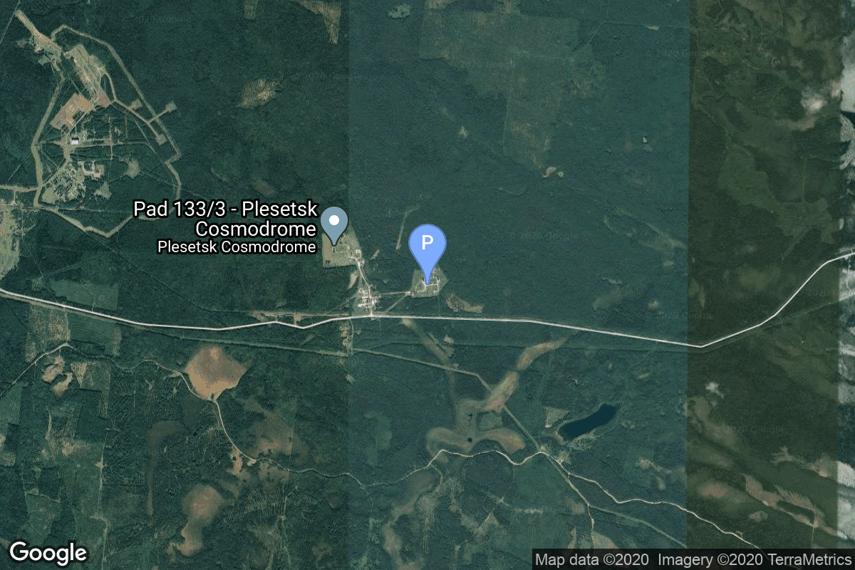
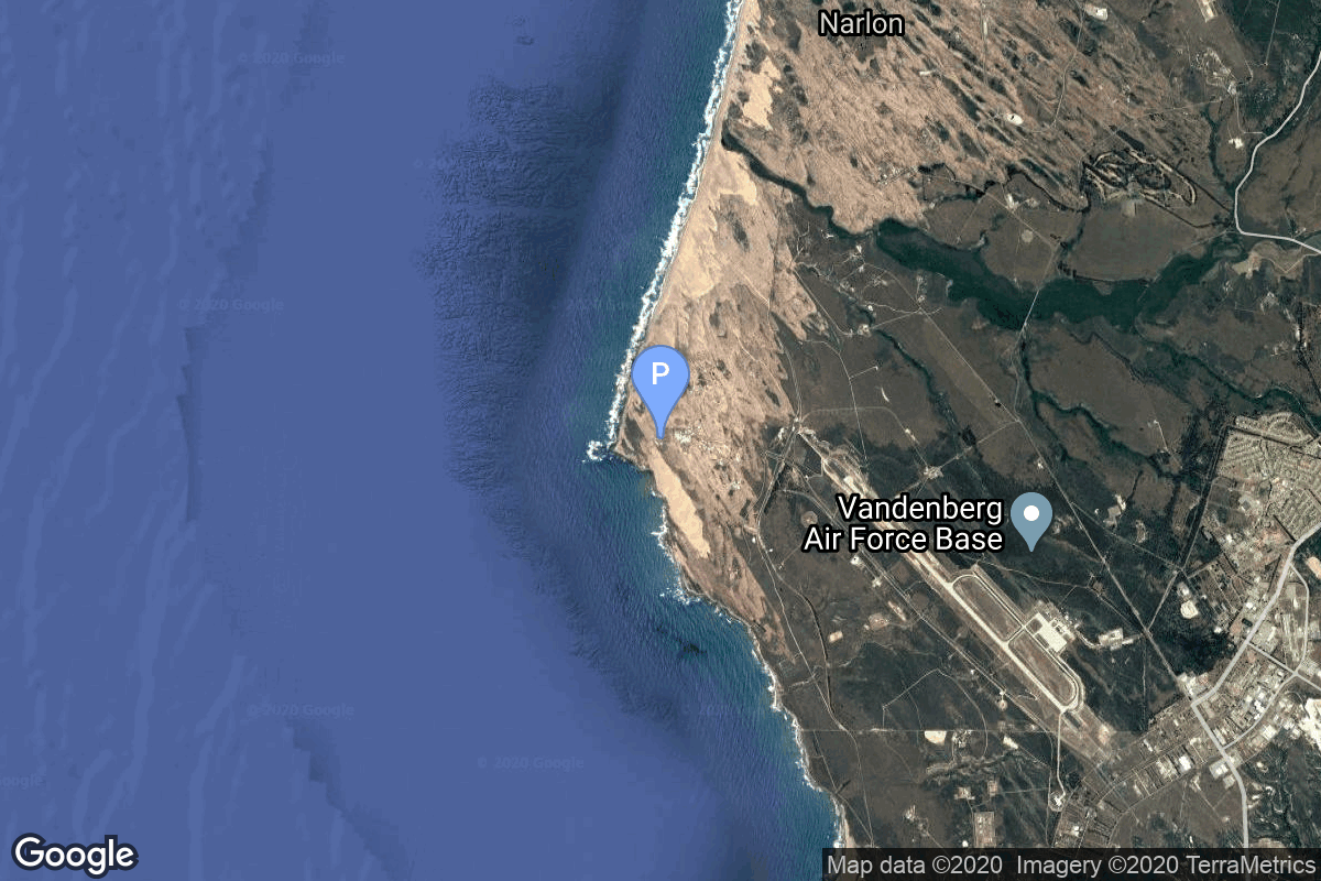
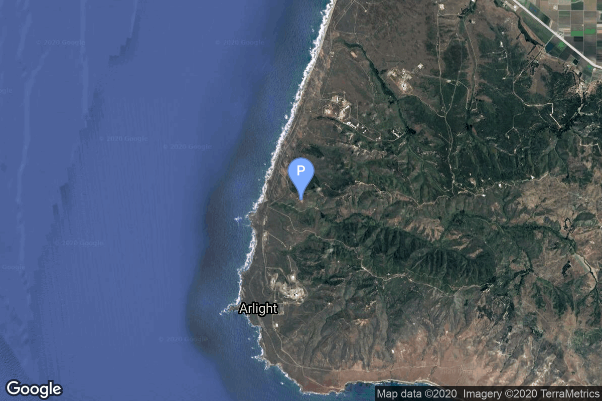
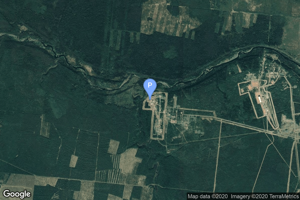
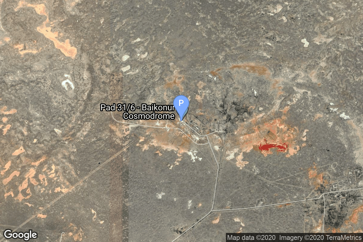
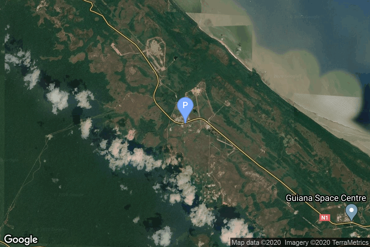
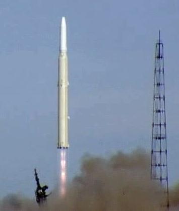
{ "count": 8136, "next": "https://lldev.thespacedevs.com/2.0.0/launch/?format=api&limit=10&offset=6780&ordering=-net", "previous": "https://lldev.thespacedevs.com/2.0.0/launch/?format=api&limit=10&offset=6760&ordering=-net", "results": [ { "id": "d1a1b3c1-a2f2-4d5c-8417-6106e5de2fc6", "url": "https://lldev.thespacedevs.com/2.0.0/launch/d1a1b3c1-a2f2-4d5c-8417-6106e5de2fc6/?format=api", "launch_library_id": null, "slug": "kosmos-3m-zaliv-9", "name": "Kosmos-3M | Zaliv 9", "status": { "id": 3, "name": "Success" }, "net": "1971-12-15T04:31:21Z", "window_end": "1971-12-15T04:31:21Z", "window_start": "1971-12-15T04:31:21Z", "inhold": false, "tbdtime": false, "tbddate": false, "probability": null, "holdreason": "", "failreason": null, "hashtag": null, "launch_service_provider": { "id": 66, "url": "https://lldev.thespacedevs.com/2.0.0/agencies/66/?format=api", "name": "Soviet Space Program", "type": "Government" }, "rocket": { "id": 4210, "configuration": { "id": 102, "launch_library_id": 122, "url": "https://lldev.thespacedevs.com/2.0.0/config/launcher/102/?format=api", "name": "Kosmos-3M", "family": "Kosmos", "full_name": "Kosmos-3M (11K65M)", "variant": "-3M" } }, "mission": { "id": 2628, "launch_library_id": null, "name": "Zaliv 9", "description": "The first soviet navigation system called Tsiklon consisted of Zaliv satellites in low earth orbit.", "launch_designator": null, "type": "Navigation", "orbit": { "id": 8, "name": "Low Earth Orbit", "abbrev": "LEO" } }, "pad": { "id": 167, "url": "https://lldev.thespacedevs.com/2.0.0/pad/167/?format=api", "agency_id": null, "name": "132/2", "info_url": null, "wiki_url": "https://en.wikipedia.org/wiki/Plesetsk_Cosmodrome", "map_url": "https://www.google.com/maps?q=62.883,40.869806", "latitude": "62.883", "longitude": "40.869806", "location": { "id": 6, "url": "https://lldev.thespacedevs.com/2.0.0/location/6/?format=api", "name": "Plesetsk Cosmodrome, Russian Federation", "country_code": "RUS", "map_image": "https://thespacedevs-dev.nyc3.digitaloceanspaces.com/media/map_images/location_6_20200803142434.jpg", "total_launch_count": 1689, "total_landing_count": 0 }, "map_image": "https://thespacedevs-dev.nyc3.digitaloceanspaces.com/media/map_images/pad_167_20200803143417.jpg", "total_launch_count": 172 }, "webcast_live": false, "image": "https://thespacedevs-dev.nyc3.digitaloceanspaces.com/media/images/kosmos-3m_durin_image_20251101171325.jpg", "infographic": null, "program": [] }, { "id": "7a8e0995-ec58-407f-b29a-57987ed7e4ab", "url": "https://lldev.thespacedevs.com/2.0.0/launch/7a8e0995-ec58-407f-b29a-57987ed7e4ab/?format=api", "launch_library_id": null, "slug": "thorad-slv-2g-agena-d-poppy-9abcd", "name": "Thorad SLV-2G Agena D | Poppy 9A,B,C,D", "status": { "id": 3, "name": "Success" }, "net": "1971-12-14T12:13:00Z", "window_end": "1971-12-14T12:13:00Z", "window_start": "1971-12-14T12:13:00Z", "inhold": false, "tbdtime": false, "tbddate": false, "probability": null, "holdreason": "", "failreason": null, "hashtag": null, "launch_service_provider": { "id": 161, "url": "https://lldev.thespacedevs.com/2.0.0/agencies/161/?format=api", "name": "United States Air Force", "type": "Government" }, "rocket": { "id": 4209, "configuration": { "id": 418, "launch_library_id": null, "url": "https://lldev.thespacedevs.com/2.0.0/config/launcher/418/?format=api", "name": "Thorad SLV-2G Agena D", "family": "Thor", "full_name": "Thorad SLV-2G Agena D", "variant": "SLV-2G Agena D" } }, "mission": { "id": 2627, "launch_library_id": null, "name": "Poppy 9A,B,C,D", "description": "Poppy was the follow-on ELINT system, which succeeded the Grab ELINT satellite system.", "launch_designator": null, "type": "Government/Top Secret", "orbit": { "id": 8, "name": "Low Earth Orbit", "abbrev": "LEO" } }, "pad": { "id": 95, "url": "https://lldev.thespacedevs.com/2.0.0/pad/95/?format=api", "agency_id": 161, "name": "Space Launch Complex 1W", "info_url": null, "wiki_url": "https://en.wikipedia.org/wiki/Vandenberg_Space_Launch_Complex_1", "map_url": "https://www.google.com/maps?q=34.7572,-120.6303", "latitude": "34.7572", "longitude": "-120.6303", "location": { "id": 11, "url": "https://lldev.thespacedevs.com/2.0.0/location/11/?format=api", "name": "Vandenberg SFB, CA, USA", "country_code": "USA", "map_image": "https://thespacedevs-dev.nyc3.digitaloceanspaces.com/media/map_images/location_11_20200803142416.jpg", "total_launch_count": 924, "total_landing_count": 37 }, "map_image": "https://thespacedevs-dev.nyc3.digitaloceanspaces.com/media/map_images/pad_95_20200803143209.jpg", "total_launch_count": 56 }, "webcast_live": false, "image": "https://thespacedevs-dev.nyc3.digitaloceanspaces.com/media/images/thorad-slv2g_ag_image_20251102061406.jpg", "infographic": null, "program": [] }, { "id": "ef07066b-95b5-43c8-874c-ce2fcdd8a945", "url": "https://lldev.thespacedevs.com/2.0.0/launch/ef07066b-95b5-43c8-874c-ce2fcdd8a945/?format=api", "launch_library_id": null, "slug": "scout-b-1-ariel-4", "name": "Scout B-1 | Ariel 4", "status": { "id": 3, "name": "Success" }, "net": "1971-12-11T20:47:01Z", "window_end": "1971-12-11T20:47:01Z", "window_start": "1971-12-11T20:47:01Z", "inhold": false, "tbdtime": false, "tbddate": false, "probability": null, "holdreason": "", "failreason": null, "hashtag": null, "launch_service_provider": { "id": 1017, "url": "https://lldev.thespacedevs.com/2.0.0/agencies/1017/?format=api", "name": "Science and Engineering Research Council", "type": "Government" }, "rocket": { "id": 4208, "configuration": { "id": 359, "launch_library_id": null, "url": "https://lldev.thespacedevs.com/2.0.0/config/launcher/359/?format=api", "name": "Scout B-1", "family": "Scout", "full_name": "Scout B-1", "variant": "B-1" } }, "mission": { "id": 2626, "launch_library_id": null, "name": "Ariel 4", "description": "Ariel is a series of British research satellites. Ariel 4 primary mission was to study ionosphere.", "launch_designator": null, "type": "Earth Science", "orbit": { "id": 8, "name": "Low Earth Orbit", "abbrev": "LEO" } }, "pad": { "id": 154, "url": "https://lldev.thespacedevs.com/2.0.0/pad/154/?format=api", "agency_id": null, "name": "Space Launch Complex 5", "info_url": "https://www.astronautix.com/v/vandenbergslc5.html", "wiki_url": "https://en.wikipedia.org/wiki/Vandenberg_Air_Force_Base_Space_Launch_Complex_5", "map_url": "https://www.google.com/maps?q=34.6080,-120.6247", "latitude": "34.608", "longitude": "-120.6247", "location": { "id": 11, "url": "https://lldev.thespacedevs.com/2.0.0/location/11/?format=api", "name": "Vandenberg SFB, CA, USA", "country_code": "USA", "map_image": "https://thespacedevs-dev.nyc3.digitaloceanspaces.com/media/map_images/location_11_20200803142416.jpg", "total_launch_count": 924, "total_landing_count": 37 }, "map_image": "https://thespacedevs-dev.nyc3.digitaloceanspaces.com/media/map_images/pad_154_20200803143408.jpg", "total_launch_count": 69 }, "webcast_live": false, "image": "https://thespacedevs-dev.nyc3.digitaloceanspaces.com/media/images/scout-b1_2528e_image_20251211153459.jpg", "infographic": null, "program": [] }, { "id": "6c62db1b-f773-430f-ae2f-e01eaf429f5c", "url": "https://lldev.thespacedevs.com/2.0.0/launch/6c62db1b-f773-430f-ae2f-e01eaf429f5c/?format=api", "launch_library_id": null, "slug": "voskhod-zenit-4m-28", "name": "Voskhod | Zenit-4M 28", "status": { "id": 3, "name": "Success" }, "net": "1971-12-10T11:00:00Z", "window_end": "1971-12-10T11:00:00Z", "window_start": "1971-12-10T11:00:00Z", "inhold": false, "tbdtime": false, "tbddate": false, "probability": null, "holdreason": "", "failreason": null, "hashtag": null, "launch_service_provider": { "id": 66, "url": "https://lldev.thespacedevs.com/2.0.0/agencies/66/?format=api", "name": "Soviet Space Program", "type": "Government" }, "rocket": { "id": 4207, "configuration": { "id": 104, "launch_library_id": 138, "url": "https://lldev.thespacedevs.com/2.0.0/config/launcher/104/?format=api", "name": "Voskhod", "family": "R-7", "full_name": "Voskhod", "variant": "Voskhod" } }, "mission": { "id": 2625, "launch_library_id": null, "name": "Zenit-4M 28", "description": "The soviet Zenit-4M (Rotor, 11F691) was an improved version of the Zenit-4 high resolution reconnaissance satellite and was part of the Vostok-based Zenit-family.", "launch_designator": null, "type": "Government/Top Secret", "orbit": { "id": 8, "name": "Low Earth Orbit", "abbrev": "LEO" } }, "pad": { "id": 36, "url": "https://lldev.thespacedevs.com/2.0.0/pad/36/?format=api", "agency_id": 163, "name": "43/3 (43L)", "info_url": null, "wiki_url": null, "map_url": "https://www.google.com/maps?q=62.9273,40.45", "latitude": "62.9273", "longitude": "40.45", "location": { "id": 6, "url": "https://lldev.thespacedevs.com/2.0.0/location/6/?format=api", "name": "Plesetsk Cosmodrome, Russian Federation", "country_code": "RUS", "map_image": "https://thespacedevs-dev.nyc3.digitaloceanspaces.com/media/map_images/location_6_20200803142434.jpg", "total_launch_count": 1689, "total_landing_count": 0 }, "map_image": "https://thespacedevs-dev.nyc3.digitaloceanspaces.com/media/map_images/pad_36_20200803143534.jpg", "total_launch_count": 235 }, "webcast_live": false, "image": "https://thespacedevs-dev.nyc3.digitaloceanspaces.com/media/images/voskhod_during__image_20251102062248.jpg", "infographic": null, "program": [] }, { "id": "e1019ec8-eb61-4f98-ad83-f0ec49016155", "url": "https://lldev.thespacedevs.com/2.0.0/launch/e1019ec8-eb61-4f98-ad83-f0ec49016155/?format=api", "launch_library_id": null, "slug": "voskhod-zenit-4m-27", "name": "Voskhod | Zenit-4M 27", "status": { "id": 3, "name": "Success" }, "net": "1971-12-06T09:50:01Z", "window_end": "1971-12-06T09:50:01Z", "window_start": "1971-12-06T09:50:01Z", "inhold": false, "tbdtime": false, "tbddate": false, "probability": null, "holdreason": "", "failreason": null, "hashtag": null, "launch_service_provider": { "id": 66, "url": "https://lldev.thespacedevs.com/2.0.0/agencies/66/?format=api", "name": "Soviet Space Program", "type": "Government" }, "rocket": { "id": 4206, "configuration": { "id": 104, "launch_library_id": 138, "url": "https://lldev.thespacedevs.com/2.0.0/config/launcher/104/?format=api", "name": "Voskhod", "family": "R-7", "full_name": "Voskhod", "variant": "Voskhod" } }, "mission": { "id": 2624, "launch_library_id": null, "name": "Zenit-4M 27", "description": "The soviet Zenit-4M (Rotor, 11F691) was an improved version of the Zenit-4 high resolution reconnaissance satellite and was part of the Vostok-based Zenit-family.", "launch_designator": null, "type": "Government/Top Secret", "orbit": { "id": 8, "name": "Low Earth Orbit", "abbrev": "LEO" } }, "pad": { "id": 20, "url": "https://lldev.thespacedevs.com/2.0.0/pad/20/?format=api", "agency_id": null, "name": "31/6", "info_url": null, "wiki_url": "https://en.wikipedia.org/wiki/Baikonur_Cosmodrome_Site_31", "map_url": "https://www.google.com/maps?q=45.996034,63.564003", "latitude": "45.996034", "longitude": "63.564003", "location": { "id": 15, "url": "https://lldev.thespacedevs.com/2.0.0/location/15/?format=api", "name": "Baikonur Cosmodrome, Republic of Kazakhstan", "country_code": "KAZ", "map_image": "https://thespacedevs-dev.nyc3.digitaloceanspaces.com/media/map_images/location_15_20200803142517.jpg", "total_launch_count": 1565, "total_landing_count": 0 }, "map_image": "https://thespacedevs-dev.nyc3.digitaloceanspaces.com/media/map_images/pad_20_20200803143516.jpg", "total_launch_count": 430 }, "webcast_live": false, "image": "https://thespacedevs-dev.nyc3.digitaloceanspaces.com/media/images/voskhod_during__image_20251102062248.jpg", "infographic": null, "program": [] }, { "id": "4a34f5ce-74b6-437a-9888-baaa65b43019", "url": "https://lldev.thespacedevs.com/2.0.0/launch/4a34f5ce-74b6-437a-9888-baaa65b43019/?format=api", "launch_library_id": null, "slug": "diamant-b-polaire", "name": "Diamant B | Polaire", "status": { "id": 4, "name": "Failure" }, "net": "1971-12-05T16:20:00Z", "window_end": "1971-12-05T16:20:00Z", "window_start": "1971-12-05T16:20:00Z", "inhold": false, "tbdtime": false, "tbddate": false, "probability": null, "holdreason": "", "failreason": null, "hashtag": null, "launch_service_provider": { "id": 46, "url": "https://lldev.thespacedevs.com/2.0.0/agencies/46/?format=api", "name": "National Center of Space Research", "type": "Government" }, "rocket": { "id": 4205, "configuration": { "id": 312, "launch_library_id": null, "url": "https://lldev.thespacedevs.com/2.0.0/config/launcher/312/?format=api", "name": "Diamant B", "family": "Diamant", "full_name": "Diamant B", "variant": "B" } }, "mission": { "id": 2623, "launch_library_id": null, "name": "Polaire", "description": "Satellite similar to Tournesol (detect the presence of hydrogen in several directions of the celestial sphere) but in a more polar orbit. It failed to reach orbit.", "launch_designator": null, "type": "Astrophysics", "orbit": { "id": 13, "name": "Polar Orbit", "abbrev": "PO" } }, "pad": { "id": 125, "url": "https://lldev.thespacedevs.com/2.0.0/pad/125/?format=api", "agency_id": 46, "name": "Diamant Launch Area", "info_url": null, "wiki_url": null, "map_url": "https://www.google.com/maps?q=5.2222222,-52.7758051", "latitude": "5.2222222", "longitude": "-52.7758051", "location": { "id": 13, "url": "https://lldev.thespacedevs.com/2.0.0/location/13/?format=api", "name": "Guiana Space Centre, French Guiana", "country_code": "GUF", "map_image": "https://thespacedevs-dev.nyc3.digitaloceanspaces.com/media/map_images/location_13_20200803142412.jpg", "total_launch_count": 336, "total_landing_count": 0 }, "map_image": "https://thespacedevs-dev.nyc3.digitaloceanspaces.com/media/map_images/pad_125_20200803143236.jpg", "total_launch_count": 8 }, "webcast_live": false, "image": "https://thespacedevs-dev.nyc3.digitaloceanspaces.com/media/images/diamant_b_lifto_image_20240411170212.jpg", "infographic": null, "program": [] }, { "id": "1af93428-ea94-4197-bf22-c5b4b1a8bb55", "url": "https://lldev.thespacedevs.com/2.0.0/launch/1af93428-ea94-4197-bf22-c5b4b1a8bb55/?format=api", "launch_library_id": null, "slug": "atlas-slv-3a-agena-d-canyon-4", "name": "Atlas SLV-3A Agena D | Canyon 4", "status": { "id": 4, "name": "Failure" }, "net": "1971-12-04T22:33:00Z", "window_end": "1971-12-04T22:33:00Z", "window_start": "1971-12-04T22:33:00Z", "inhold": false, "tbdtime": false, "tbddate": false, "probability": null, "holdreason": "", "failreason": null, "hashtag": null, "launch_service_provider": { "id": 161, "url": "https://lldev.thespacedevs.com/2.0.0/agencies/161/?format=api", "name": "United States Air Force", "type": "Government" }, "rocket": { "id": 4204, "configuration": { "id": 259, "launch_library_id": null, "url": "https://lldev.thespacedevs.com/2.0.0/config/launcher/259/?format=api", "name": "Atlas SLV-3A Agena D", "family": "Atlas", "full_name": "Atlas SLV-3A Agena D", "variant": "SLV-3A Agena D" } }, "mission": { "id": 2622, "launch_library_id": null, "name": "Canyon 4", "description": "Canyon was the first series of NRO's near geostationary ELINT/SIGINT satellites launched under the designation AFP-827 or Program 7500 for NRO's Program A. They were focussed on communications intelligence (COMINT).", "launch_designator": null, "type": "Government/Top Secret", "orbit": { "id": 1, "name": "Geostationary Orbit", "abbrev": "Direct-GEO" } }, "pad": { "id": 117, "url": "https://lldev.thespacedevs.com/2.0.0/pad/117/?format=api", "agency_id": 161, "name": "Space Launch Complex 13", "info_url": null, "wiki_url": "https://en.wikipedia.org/wiki/Cape_Canaveral_Launch_Complex_13", "map_url": "https://www.google.com/maps?q=28.4859,-80.546594", "latitude": "28.4859", "longitude": "-80.546594", "location": { "id": 12, "url": "https://lldev.thespacedevs.com/2.0.0/location/12/?format=api", "name": "Cape Canaveral SFS, FL, USA", "country_code": "USA", "map_image": "https://thespacedevs-dev.nyc3.digitaloceanspaces.com/media/map_images/location_12_20200803142519.jpg", "total_launch_count": 1132, "total_landing_count": 83 }, "map_image": "https://thespacedevs-dev.nyc3.digitaloceanspaces.com/media/map_images/pad_117_20200803143223.jpg", "total_launch_count": 21 }, "webcast_live": false, "image": "https://thespacedevs-dev.nyc3.digitaloceanspaces.com/media/images/atlas-slv3a_age_image_20251204210844.jpg", "infographic": null, "program": [] }, { "id": "8d251b60-5600-412b-b85a-00470b1f24c6", "url": "https://lldev.thespacedevs.com/2.0.0/launch/8d251b60-5600-412b-b85a-00470b1f24c6/?format=api", "launch_library_id": null, "slug": "tsiklon-2-i2p-8", "name": "Tsiklon-2 | I2P 8", "status": { "id": 3, "name": "Success" }, "net": "1971-12-03T13:19:22Z", "window_end": "1971-12-03T13:19:22Z", "window_start": "1971-12-03T13:19:22Z", "inhold": false, "tbdtime": false, "tbddate": false, "probability": null, "holdreason": "", "failreason": null, "hashtag": null, "launch_service_provider": { "id": 66, "url": "https://lldev.thespacedevs.com/2.0.0/agencies/66/?format=api", "name": "Soviet Space Program", "type": "Government" }, "rocket": { "id": 4203, "configuration": { "id": 443, "launch_library_id": null, "url": "https://lldev.thespacedevs.com/2.0.0/config/launcher/443/?format=api", "name": "Tsiklon-2", "family": "Tsiklon", "full_name": "Tsiklon-2", "variant": "2" } }, "mission": { "id": 2621, "launch_library_id": null, "name": "I2P 8", "description": "The I2P satellites were the first soviet coorbital ASAT system.", "launch_designator": null, "type": "Government/Top Secret", "orbit": { "id": 8, "name": "Low Earth Orbit", "abbrev": "LEO" } }, "pad": { "id": 134, "url": "https://lldev.thespacedevs.com/2.0.0/pad/134/?format=api", "agency_id": null, "name": "90/20", "info_url": null, "wiki_url": "https://en.wikipedia.org/wiki/Baikonur_Cosmodrome_Site_90", "map_url": "https://www.google.com/maps?q=46.081,62.929806", "latitude": "46.081", "longitude": "62.929806", "location": { "id": 15, "url": "https://lldev.thespacedevs.com/2.0.0/location/15/?format=api", "name": "Baikonur Cosmodrome, Republic of Kazakhstan", "country_code": "KAZ", "map_image": "https://thespacedevs-dev.nyc3.digitaloceanspaces.com/media/map_images/location_15_20200803142517.jpg", "total_launch_count": 1565, "total_landing_count": 0 }, "map_image": "https://thespacedevs-dev.nyc3.digitaloceanspaces.com/media/map_images/pad_134_20200803143259.jpg", "total_launch_count": 23 }, "webcast_live": false, "image": "https://thespacedevs-dev.nyc3.digitaloceanspaces.com/media/images/tsyklon-2_lifto_image_20240411113159.jpg", "infographic": null, "program": [] }, { "id": "bddc2a18-4c33-480a-b2e4-ff69b29c05b5", "url": "https://lldev.thespacedevs.com/2.0.0/launch/bddc2a18-4c33-480a-b2e4-ff69b29c05b5/?format=api", "launch_library_id": null, "slug": "voskhod-zenit-2m-24", "name": "Voskhod | Zenit-2M 24", "status": { "id": 4, "name": "Failure" }, "net": "1971-12-03T13:00:01Z", "window_end": "1971-12-03T13:00:01Z", "window_start": "1971-12-03T13:00:01Z", "inhold": false, "tbdtime": false, "tbddate": false, "probability": null, "holdreason": "", "failreason": null, "hashtag": null, "launch_service_provider": { "id": 66, "url": "https://lldev.thespacedevs.com/2.0.0/agencies/66/?format=api", "name": "Soviet Space Program", "type": "Government" }, "rocket": { "id": 4202, "configuration": { "id": 104, "launch_library_id": 138, "url": "https://lldev.thespacedevs.com/2.0.0/config/launcher/104/?format=api", "name": "Voskhod", "family": "R-7", "full_name": "Voskhod", "variant": "Voskhod" } }, "mission": { "id": 2620, "launch_library_id": null, "name": "Zenit-2M 24", "description": "The soviet Zenit-2M (Gektor, 11F690) was an improved version of the Zenit-2 area surveillance reconnaissance satellite. It was part of the Vostok-based Zenit-family.", "launch_designator": null, "type": "Government/Top Secret", "orbit": { "id": 8, "name": "Low Earth Orbit", "abbrev": "LEO" } }, "pad": { "id": 85, "url": "https://lldev.thespacedevs.com/2.0.0/pad/85/?format=api", "agency_id": 163, "name": "43/4 (43R)", "info_url": null, "wiki_url": null, "map_url": "https://www.google.com/maps?q=62.92883,40.457098", "latitude": "62.92883", "longitude": "40.457098", "location": { "id": 6, "url": "https://lldev.thespacedevs.com/2.0.0/location/6/?format=api", "name": "Plesetsk Cosmodrome, Russian Federation", "country_code": "RUS", "map_image": "https://thespacedevs-dev.nyc3.digitaloceanspaces.com/media/map_images/location_6_20200803142434.jpg", "total_launch_count": 1689, "total_landing_count": 0 }, "map_image": "https://thespacedevs-dev.nyc3.digitaloceanspaces.com/media/map_images/pad_85_20200803143554.jpg", "total_launch_count": 329 }, "webcast_live": false, "image": "https://thespacedevs-dev.nyc3.digitaloceanspaces.com/media/images/voskhod_during__image_20251102062248.jpg", "infographic": null, "program": [] }, { "id": "2c2dad77-c26b-4b55-b0c1-0cf9a2302cbf", "url": "https://lldev.thespacedevs.com/2.0.0/launch/2c2dad77-c26b-4b55-b0c1-0cf9a2302cbf/?format=api", "launch_library_id": null, "slug": "kosmos-3m-ds-u2-mt", "name": "Kosmos-3M | DS-U2-MT", "status": { "id": 3, "name": "Success" }, "net": "1971-12-02T17:30:01Z", "window_end": "1971-12-02T17:30:01Z", "window_start": "1971-12-02T17:30:01Z", "inhold": false, "tbdtime": false, "tbddate": false, "probability": null, "holdreason": "", "failreason": null, "hashtag": null, "launch_service_provider": { "id": 66, "url": "https://lldev.thespacedevs.com/2.0.0/agencies/66/?format=api", "name": "Soviet Space Program", "type": "Government" }, "rocket": { "id": 4201, "configuration": { "id": 102, "launch_library_id": 122, "url": "https://lldev.thespacedevs.com/2.0.0/config/launcher/102/?format=api", "name": "Kosmos-3M", "family": "Kosmos", "full_name": "Kosmos-3M (11K65M)", "variant": "-3M" } }, "mission": { "id": 2619, "launch_library_id": null, "name": "DS-U2-MT", "description": "Research satellite dedicated to micrometeroids and gamma ray astronomy.", "launch_designator": null, "type": "Astrophysics", "orbit": { "id": 8, "name": "Low Earth Orbit", "abbrev": "LEO" } }, "pad": { "id": 28, "url": "https://lldev.thespacedevs.com/2.0.0/pad/28/?format=api", "agency_id": 163, "name": "132/1 (132L)", "info_url": null, "wiki_url": "", "map_url": "https://www.google.com/maps?q=62.883229,40.868549", "latitude": "62.883229", "longitude": "40.868549", "location": { "id": 6, "url": "https://lldev.thespacedevs.com/2.0.0/location/6/?format=api", "name": "Plesetsk Cosmodrome, Russian Federation", "country_code": "RUS", "map_image": "https://thespacedevs-dev.nyc3.digitaloceanspaces.com/media/map_images/location_6_20200803142434.jpg", "total_launch_count": 1689, "total_landing_count": 0 }, "map_image": "https://thespacedevs-dev.nyc3.digitaloceanspaces.com/media/map_images/pad_28_20200803143254.jpg", "total_launch_count": 212 }, "webcast_live": false, "image": "https://thespacedevs-dev.nyc3.digitaloceanspaces.com/media/images/kosmos-3m_durin_image_20251101171325.jpg", "infographic": null, "program": [] } ] }