Launch List
API endpoint that returns all Launch objects or a single launch.
EXAMPLE - /launch/
GET: Return a list of all Launch objects.
FILTERS: Fields - 'name', 'id(s)', 'lsp_id', 'lsp_name', 'serial_number', 'launcher_config__id', 'rocket__spacecraftflight__spacecraft__name'
MODE: 'normal', 'list', 'detailed' EXAMPLE: ?mode=list
SEARCH: Searches through the launch name, rocket name, launch agency, mission name & spacecraft name. EXAMPLE - ?search=SpaceX
GET /2.0.0/launch/?format=api&offset=6690&ordering=-id
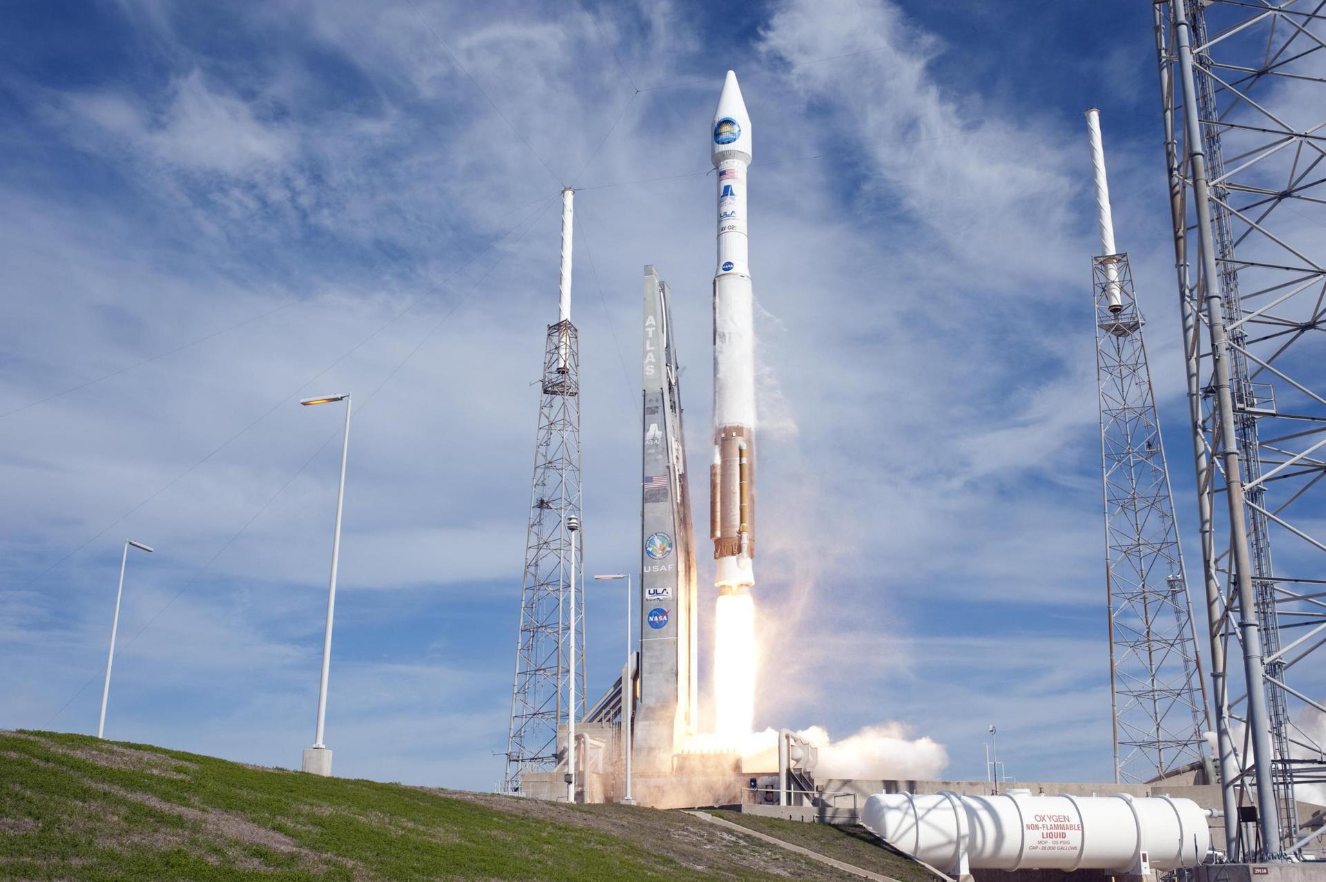
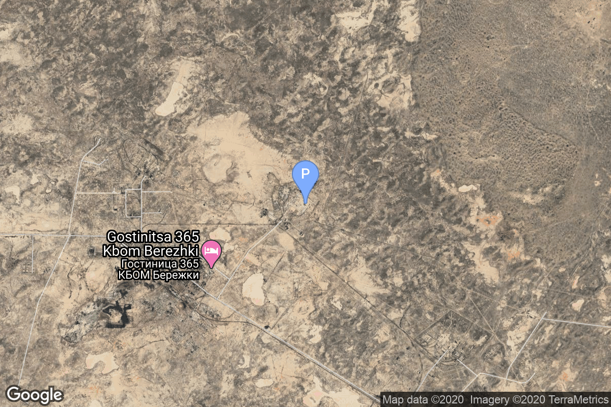
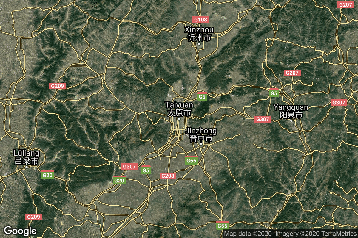
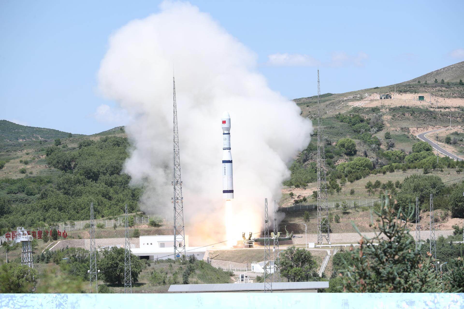
{ "count": 8136, "next": "https://lldev.thespacedevs.com/2.0.0/launch/?format=api&limit=10&offset=6700&ordering=-id", "previous": "https://lldev.thespacedevs.com/2.0.0/launch/?format=api&limit=10&offset=6680&ordering=-id", "results": [ { "id": "2ebf4aeb-99c3-427a-971e-ca0d08fceb3b", "url": "https://lldev.thespacedevs.com/2.0.0/launch/2ebf4aeb-99c3-427a-971e-ca0d08fceb3b/?format=api", "launch_library_id": null, "slug": "thor-slv-2a-agena-d-kh-4a-10", "name": "Thor SLV-2A Agena D | KH-4A 10", "status": { "id": 3, "name": "Success" }, "net": "1964-09-14T22:53:43Z", "window_end": "1964-09-14T22:53:43Z", "window_start": "1964-09-14T22:53:43Z", "inhold": false, "tbdtime": false, "tbddate": false, "probability": null, "holdreason": "", "failreason": null, "hashtag": null, "launch_service_provider": { "id": 161, "url": "https://lldev.thespacedevs.com/2.0.0/agencies/161/?format=api", "name": "United States Air Force", "type": "Government" }, "rocket": { "id": 3316, "configuration": { "id": 417, "launch_library_id": null, "url": "https://lldev.thespacedevs.com/2.0.0/config/launcher/417/?format=api", "name": "Thor SLV-2A Agena D", "family": "Thor", "full_name": "Thor SLV-2A Agena D", "variant": "SLV-2A Agena D" } }, "mission": { "id": 1738, "launch_library_id": null, "name": "KH-4A 10", "description": "The KH-4A (Keyhole-4A) was the fifth optical reconnaissance satellite version in the Corona-program.", "launch_designator": null, "type": "Government/Top Secret", "orbit": { "id": 8, "name": "Low Earth Orbit", "abbrev": "LEO" } }, "pad": { "id": 93, "url": "https://lldev.thespacedevs.com/2.0.0/pad/93/?format=api", "agency_id": 161, "name": "Space Launch Complex 3W", "info_url": null, "wiki_url": "https://en.wikipedia.org/wiki/Vandenberg_Space_Launch_Complex_3#SLC-3W", "map_url": "https://www.google.com/maps?q=34.644,-120.593", "latitude": "34.644", "longitude": "-120.593", "location": { "id": 11, "url": "https://lldev.thespacedevs.com/2.0.0/location/11/?format=api", "name": "Vandenberg SFB, CA, USA", "country_code": "USA", "map_image": "https://thespacedevs-dev.nyc3.digitaloceanspaces.com/media/map_images/location_11_20200803142416.jpg", "total_launch_count": 924, "total_landing_count": 37 }, "map_image": "https://thespacedevs-dev.nyc3.digitaloceanspaces.com/media/map_images/pad_93_20200803143225.jpg", "total_launch_count": 81 }, "webcast_live": false, "image": "https://thespacedevs-dev.nyc3.digitaloceanspaces.com/media/images/thor_slv-2a_age_image_20251102055131.jpg", "infographic": null, "program": [] }, { "id": "2eb9887b-4e07-4110-8f2a-a6116a079e99", "url": "https://lldev.thespacedevs.com/2.0.0/launch/2eb9887b-4e07-4110-8f2a-a6116a079e99/?format=api", "launch_library_id": null, "slug": "ariane-2-intelsat-514", "name": "Ariane 2 | Intelsat 514", "status": { "id": 4, "name": "Failure" }, "net": "1986-05-31T00:53:03Z", "window_end": "1986-05-31T00:53:03Z", "window_start": "1986-05-31T00:53:03Z", "inhold": false, "tbdtime": false, "tbddate": false, "probability": null, "holdreason": "", "failreason": null, "hashtag": null, "launch_service_provider": { "id": 115, "url": "https://lldev.thespacedevs.com/2.0.0/agencies/115/?format=api", "name": "Arianespace", "type": "Commercial" }, "rocket": { "id": 5861, "configuration": { "id": 220, "launch_library_id": null, "url": "https://lldev.thespacedevs.com/2.0.0/config/launcher/220/?format=api", "name": "Ariane 2", "family": "Ariane", "full_name": "Ariane 2", "variant": "2" } }, "mission": { "id": 4258, "launch_library_id": null, "name": "Intelsat 514", "description": "Geostationary communications satellite", "launch_designator": null, "type": "Communications", "orbit": { "id": 1, "name": "Geostationary Orbit", "abbrev": "Direct-GEO" } }, "pad": { "id": 34, "url": "https://lldev.thespacedevs.com/2.0.0/pad/34/?format=api", "agency_id": 115, "name": "Ariane Launch Area 1 (ELV)", "info_url": null, "wiki_url": "https://en.wikipedia.org/wiki/ELA-1", "map_url": "https://www.google.com/maps?q=5.236,-52.775", "latitude": "5.236", "longitude": "-52.775", "location": { "id": 13, "url": "https://lldev.thespacedevs.com/2.0.0/location/13/?format=api", "name": "Guiana Space Centre, French Guiana", "country_code": "GUF", "map_image": "https://thespacedevs-dev.nyc3.digitaloceanspaces.com/media/map_images/location_13_20200803142412.jpg", "total_launch_count": 336, "total_landing_count": 0 }, "map_image": "https://thespacedevs-dev.nyc3.digitaloceanspaces.com/media/map_images/pad_34_20200803143527.jpg", "total_launch_count": 56 }, "webcast_live": false, "image": "https://thespacedevs-dev.nyc3.digitaloceanspaces.com/media/images/ariane_2_liftof_image_20240314094631.jpg", "infographic": null, "program": [] }, { "id": "2eb650d0-760f-4ef6-a082-26208fc688b0", "url": "https://lldev.thespacedevs.com/2.0.0/launch/2eb650d0-760f-4ef6-a082-26208fc688b0/?format=api", "launch_library_id": 1679, "slug": "soyuz-21bfregat-m-glonass-m-no-58-kosmos-2534", "name": "Soyuz 2.1b/Fregat-M | Glonass-M No. 58 (Kosmos 2534)", "status": { "id": 3, "name": "Success" }, "net": "2019-05-27T06:23:00Z", "window_end": "2019-05-27T08:00:00Z", "window_start": "2019-05-27T06:00:00Z", "inhold": false, "tbdtime": false, "tbddate": false, "probability": null, "holdreason": "", "failreason": "", "hashtag": null, "launch_service_provider": { "id": 193, "url": "https://lldev.thespacedevs.com/2.0.0/agencies/193/?format=api", "name": "Russian Space Forces", "type": "Government" }, "rocket": { "id": 2477, "configuration": { "id": 134, "launch_library_id": 153, "url": "https://lldev.thespacedevs.com/2.0.0/config/launcher/134/?format=api", "name": "Soyuz 2.1b/Fregat-M", "family": "Soyuz", "full_name": "Soyuz 2.1b Fregat-M", "variant": "Fregat-M" } }, "mission": { "id": 995, "launch_library_id": 1207, "name": "Glonass-M No. 58 (Kosmos 2534)", "description": "Glonass-M, also known as Uragan-M, are the second generation of Uragan satellite design used for GLONASS satellite navigation system. GLONASS is a Russian space-based navigation system comparable to the similar GPS and Galileo systems. This generation improves on accuracy, power consumption and design life. Each satellite weighs 1415 kg, is equipped with 12 L-band antennas, and has an operational lifetime of 7 years.", "launch_designator": null, "type": "Navigation", "orbit": { "id": 12, "name": "Medium Earth Orbit", "abbrev": "MEO" } }, "pad": { "id": 85, "url": "https://lldev.thespacedevs.com/2.0.0/pad/85/?format=api", "agency_id": 163, "name": "43/4 (43R)", "info_url": null, "wiki_url": null, "map_url": "https://www.google.com/maps?q=62.92883,40.457098", "latitude": "62.92883", "longitude": "40.457098", "location": { "id": 6, "url": "https://lldev.thespacedevs.com/2.0.0/location/6/?format=api", "name": "Plesetsk Cosmodrome, Russian Federation", "country_code": "RUS", "map_image": "https://thespacedevs-dev.nyc3.digitaloceanspaces.com/media/map_images/location_6_20200803142434.jpg", "total_launch_count": 1689, "total_landing_count": 0 }, "map_image": "https://thespacedevs-dev.nyc3.digitaloceanspaces.com/media/map_images/pad_85_20200803143554.jpg", "total_launch_count": 329 }, "webcast_live": false, "image": "https://thespacedevs-dev.nyc3.digitaloceanspaces.com/media/images/soyuz_2.1b_image_20230802085331.jpg", "infographic": null, "program": [ { "id": 34, "url": "https://lldev.thespacedevs.com/2.0.0/program/34/?format=api", "name": "GLONASS", "description": "GLONASS (ГЛОНАСС, IPA: [ɡɫɐˈnas]; Russian: Глобальная навигационная спутниковая система, tr. Global'naya Navigatsionnaya Sputnikovaya Sistema, lit. 'Global Navigation Satellite System') is a Russian satellite navigation system operating as part of a radionavigation-satellite service. It provides an alternative to Global Positioning System (GPS) and is the second navigational system in operation with global coverage and of comparable precision.", "agencies": [ { "id": 63, "url": "https://lldev.thespacedevs.com/2.0.0/agencies/63/?format=api", "name": "Russian Federal Space Agency (ROSCOSMOS)", "type": "Government" } ], "image_url": "https://thespacedevs-dev.nyc3.digitaloceanspaces.com/media/images/glonass_program_20240102170258.png", "start_date": "1982-10-12T00:00:00Z", "end_date": null, "info_url": "https://www.glonass-iac.ru/en/", "wiki_url": "https://en.wikipedia.org/wiki/GLONASS" } ] }, { "id": "2ead3d70-ac04-40ee-b4a6-dfecfe519ee5", "url": "https://lldev.thespacedevs.com/2.0.0/launch/2ead3d70-ac04-40ee-b4a6-dfecfe519ee5/?format=api", "launch_library_id": 813, "slug": "falcon-9-v10-dragon-spacecraft-qualification-unit", "name": "Falcon 9 v1.0 | Dragon Spacecraft Qualification Unit (DSQU)", "status": { "id": 3, "name": "Success" }, "net": "2010-06-04T18:45:00Z", "window_end": "2010-06-04T18:45:00Z", "window_start": "2010-06-04T18:45:00Z", "inhold": false, "tbdtime": false, "tbddate": false, "probability": null, "holdreason": "", "failreason": "", "hashtag": null, "launch_service_provider": { "id": 121, "url": "https://lldev.thespacedevs.com/2.0.0/agencies/121/?format=api", "name": "SpaceX", "type": "Commercial" }, "rocket": { "id": 1463, "configuration": { "id": 169, "launch_library_id": 90, "url": "https://lldev.thespacedevs.com/2.0.0/config/launcher/169/?format=api", "name": "Falcon 9", "family": "Falcon", "full_name": "Falcon 9 v1.0", "variant": "v1.0" } }, "mission": { "id": 441, "launch_library_id": 544, "name": "Dragon Spacecraft Qualification Unit (DSQU)", "description": "The Dragon Spacecraft Qualification Unit was a boilerplate version of the Dragon spacecraft. After using it for ground tests to rate Dragon's shape and mass in various tests, SpaceX launched it into low Earth orbit on the maiden flight of the Falcon 9 rocket. SpaceX used the launch to evaluate the aerodynamic conditions on the spacecraft and performance of the carrier rocket in a real-world launch scenario, ahead of Dragon flights for NASA under the Commercial Orbital Transportation Services program.", "launch_designator": null, "type": "Test Flight", "orbit": { "id": 8, "name": "Low Earth Orbit", "abbrev": "LEO" } }, "pad": { "id": 80, "url": "https://lldev.thespacedevs.com/2.0.0/pad/80/?format=api", "agency_id": 121, "name": "Space Launch Complex 40", "info_url": null, "wiki_url": "https://en.wikipedia.org/wiki/Cape_Canaveral_Air_Force_Station_Space_Launch_Complex_40", "map_url": "https://www.google.com/maps?q=28.56194122,-80.57735736", "latitude": "28.56194122", "longitude": "-80.57735736", "location": { "id": 12, "url": "https://lldev.thespacedevs.com/2.0.0/location/12/?format=api", "name": "Cape Canaveral SFS, FL, USA", "country_code": "USA", "map_image": "https://thespacedevs-dev.nyc3.digitaloceanspaces.com/media/map_images/location_12_20200803142519.jpg", "total_launch_count": 1132, "total_landing_count": 83 }, "map_image": "https://thespacedevs-dev.nyc3.digitaloceanspaces.com/media/map_images/pad_80_20200803143323.jpg", "total_launch_count": 404 }, "webcast_live": false, "image": "https://thespacedevs-dev.nyc3.digitaloceanspaces.com/media/images/falcon252092520v1.0_image_20190222030703.jpeg", "infographic": null, "program": [] }, { "id": "2ea37153-d70a-4f51-b5c4-dead279bd449", "url": "https://lldev.thespacedevs.com/2.0.0/launch/2ea37153-d70a-4f51-b5c4-dead279bd449/?format=api", "launch_library_id": 1473, "slug": "ariane-5-eca-wildblue-1-amc-18", "name": "Ariane 5 ECA | WildBlue 1 & AMC-18", "status": { "id": 3, "name": "Success" }, "net": "2006-12-08T22:08:00Z", "window_end": "2006-12-08T22:08:00Z", "window_start": "2006-12-08T22:08:00Z", "inhold": false, "tbdtime": false, "tbddate": false, "probability": null, "holdreason": "", "failreason": null, "hashtag": null, "launch_service_provider": { "id": 115, "url": "https://lldev.thespacedevs.com/2.0.0/agencies/115/?format=api", "name": "Arianespace", "type": "Commercial" }, "rocket": { "id": 529, "configuration": { "id": 20, "launch_library_id": 27, "url": "https://lldev.thespacedevs.com/2.0.0/config/launcher/20/?format=api", "name": "Ariane 5 ECA", "family": "Ariane", "full_name": "Ariane 5 ECA", "variant": "ECA" } }, "mission": { "id": 592, "launch_library_id": 782, "name": "WildBlue 1 & AMC-18", "description": "WildBlue-1 offers Ka-band Broadband Internet Access via satellite. Operates at 111.1 degrees West in a geostationary orbit. AMC-18 is an SES satellite that provides coverage to North America for many television networks. This satellite operates at 105 degrees West.", "launch_designator": null, "type": "Communications", "orbit": { "id": 2, "name": "Geostationary Transfer Orbit", "abbrev": "GTO" } }, "pad": { "id": 77, "url": "https://lldev.thespacedevs.com/2.0.0/pad/77/?format=api", "agency_id": 115, "name": "Ariane Launch Area 3", "info_url": null, "wiki_url": "https://en.wikipedia.org/wiki/ELA-3", "map_url": "https://www.google.com/maps?q=5.239,-52.768", "latitude": "5.239", "longitude": "-52.768", "location": { "id": 13, "url": "https://lldev.thespacedevs.com/2.0.0/location/13/?format=api", "name": "Guiana Space Centre, French Guiana", "country_code": "GUF", "map_image": "https://thespacedevs-dev.nyc3.digitaloceanspaces.com/media/map_images/location_13_20200803142412.jpg", "total_launch_count": 336, "total_landing_count": 0 }, "map_image": "https://thespacedevs-dev.nyc3.digitaloceanspaces.com/media/map_images/pad_77_20200803143458.jpg", "total_launch_count": 118 }, "webcast_live": false, "image": "https://thespacedevs-dev.nyc3.digitaloceanspaces.com/media/images/ariane252052520eca_image_20190224012333.jpeg", "infographic": null, "program": [] }, { "id": "2e986328-5529-4a13-a4c6-44cdc0994c48", "url": "https://lldev.thespacedevs.com/2.0.0/launch/2e986328-5529-4a13-a4c6-44cdc0994c48/?format=api", "launch_library_id": null, "slug": "dnepr-belka", "name": "Dnepr | BelKA", "status": { "id": 4, "name": "Failure" }, "net": "2006-07-26T19:43:05Z", "window_end": "2006-07-26T19:43:05Z", "window_start": "2006-07-26T19:43:05Z", "inhold": false, "tbdtime": false, "tbddate": false, "probability": null, "holdreason": "", "failreason": null, "hashtag": null, "launch_service_provider": { "id": 119, "url": "https://lldev.thespacedevs.com/2.0.0/agencies/119/?format=api", "name": "ISC Kosmotras", "type": "Commercial" }, "rocket": { "id": 7277, "configuration": { "id": 31, "launch_library_id": 54, "url": "https://lldev.thespacedevs.com/2.0.0/config/launcher/31/?format=api", "name": "Dnepr", "family": "", "full_name": "Dnepr 1", "variant": "1" } }, "mission": { "id": 5666, "launch_library_id": null, "name": "BelKA", "description": "BelKa 1 is a remote sensing satellite that utilizes the Victoria universal satellite bus. Developed by Rocket and Space Corporation Energiya, Russia, under a contract with TSNIIMASH-Export, Russia, for National Academy of Sciences of Republic of Belarus as the final customer of the satellite.", "launch_designator": null, "type": "Earth Science", "orbit": { "id": 17, "name": "Sun-Synchronous Orbit", "abbrev": "SSO" } }, "pad": { "id": 12, "url": "https://lldev.thespacedevs.com/2.0.0/pad/12/?format=api", "agency_id": null, "name": "109/95", "info_url": null, "wiki_url": "", "map_url": "https://www.google.com/maps?q=45.95112,63.497095", "latitude": "45.95112", "longitude": "63.497095", "location": { "id": 15, "url": "https://lldev.thespacedevs.com/2.0.0/location/15/?format=api", "name": "Baikonur Cosmodrome, Republic of Kazakhstan", "country_code": "KAZ", "map_image": "https://thespacedevs-dev.nyc3.digitaloceanspaces.com/media/map_images/location_15_20200803142517.jpg", "total_launch_count": 1565, "total_landing_count": 0 }, "map_image": "https://thespacedevs-dev.nyc3.digitaloceanspaces.com/media/map_images/pad_12_20200803143322.jpg", "total_launch_count": 12 }, "webcast_live": false, "image": "https://thespacedevs-dev.nyc3.digitaloceanspaces.com/media/images/dnepr-1_liftoff_image_20240411092543.jpeg", "infographic": null, "program": [] }, { "id": "2e916628-c482-4ebc-ae53-151227416b3d", "url": "https://lldev.thespacedevs.com/2.0.0/launch/2e916628-c482-4ebc-ae53-151227416b3d/?format=api", "launch_library_id": null, "slug": "long-march-3be-shiyan-10-02", "name": "Long March 3B/E | Shiyan 10-02", "status": { "id": 3, "name": "Success" }, "net": "2022-12-29T04:43:00Z", "window_end": "2022-12-29T05:08:00Z", "window_start": "2022-12-29T04:33:00Z", "inhold": false, "tbdtime": false, "tbddate": false, "probability": null, "holdreason": "", "failreason": "", "hashtag": null, "launch_service_provider": { "id": 88, "url": "https://lldev.thespacedevs.com/2.0.0/agencies/88/?format=api", "name": "China Aerospace Science and Technology Corporation", "type": "Government" }, "rocket": { "id": 7741, "configuration": { "id": 50, "launch_library_id": 69, "url": "https://lldev.thespacedevs.com/2.0.0/config/launcher/50/?format=api", "name": "Long March 3B/E", "family": "Long March", "full_name": "Long March 3B/E", "variant": "B/E" } }, "mission": { "id": 6259, "launch_library_id": null, "name": "Shiyan 10-02", "description": "Satellite officially declared for spatial environment monitoring and in-orbit technical validation purposes. First satellite is observed to have entered a Molniya orbit.", "launch_designator": null, "type": "Government/Top Secret", "orbit": { "id": 7, "name": "High Earth Orbit", "abbrev": "HEO" } }, "pad": { "id": 45, "url": "https://lldev.thespacedevs.com/2.0.0/pad/45/?format=api", "agency_id": null, "name": "Launch Complex 2 (LC-2)", "info_url": null, "wiki_url": "https://en.wikipedia.org/wiki/Xichang_Satellite_Launch_Center", "map_url": "https://www.google.com/maps?q=28.245504,102.026768", "latitude": "28.245504", "longitude": "102.026768", "location": { "id": 16, "url": "https://lldev.thespacedevs.com/2.0.0/location/16/?format=api", "name": "Xichang Satellite Launch Center, People's Republic of China", "country_code": "CHN", "map_image": "https://thespacedevs-dev.nyc3.digitaloceanspaces.com/media/map_images/location_16_20200803142513.jpg", "total_launch_count": 243, "total_landing_count": 0 }, "map_image": "https://thespacedevs-dev.nyc3.digitaloceanspaces.com/media/map_images/pad_45_20200803143520.jpg", "total_launch_count": 126 }, "webcast_live": false, "image": "https://thespacedevs-dev.nyc3.digitaloceanspaces.com/media/images/long2520march_image_20230907120240.jpeg", "infographic": null, "program": [] }, { "id": "2e77e64a-1d0d-4fb4-914d-c7a2fac953ce", "url": "https://lldev.thespacedevs.com/2.0.0/launch/2e77e64a-1d0d-4fb4-914d-c7a2fac953ce/?format=api", "launch_library_id": 1559, "slug": "atlas-v-401-nrol-30-noss-3-usa-194", "name": "Atlas V 401 | NROL-30 & NOSS-3 (USA-194)", "status": { "id": 3, "name": "Success" }, "net": "2007-06-15T15:12:00Z", "window_end": "2007-06-15T15:12:00Z", "window_start": "2007-06-15T15:12:00Z", "inhold": false, "tbdtime": false, "tbddate": false, "probability": null, "holdreason": "", "failreason": "", "hashtag": null, "launch_service_provider": { "id": 124, "url": "https://lldev.thespacedevs.com/2.0.0/agencies/124/?format=api", "name": "United Launch Alliance", "type": "Commercial" }, "rocket": { "id": 541, "configuration": { "id": 16, "launch_library_id": 26, "url": "https://lldev.thespacedevs.com/2.0.0/config/launcher/16/?format=api", "name": "Atlas V 401", "family": "Atlas", "full_name": "Atlas V 401", "variant": "401" } }, "mission": { "id": 545, "launch_library_id": 716, "name": "NROL-30 & NOSS-3 (USA-194)", "description": "A military reconnaissance satellite, it's purpose is classified, launched with NOSS-3. An intelligence satellite for the US Navy.", "launch_designator": null, "type": "Government/Top Secret", "orbit": { "id": 8, "name": "Low Earth Orbit", "abbrev": "LEO" } }, "pad": { "id": 29, "url": "https://lldev.thespacedevs.com/2.0.0/pad/29/?format=api", "agency_id": null, "name": "Space Launch Complex 41", "info_url": null, "wiki_url": "https://en.wikipedia.org/wiki/Cape_Canaveral_Air_Force_Station_Space_Launch_Complex_41", "map_url": "https://www.google.com/maps?q=28.58341025,-80.58303644", "latitude": "28.58341025", "longitude": "-80.58303644", "location": { "id": 12, "url": "https://lldev.thespacedevs.com/2.0.0/location/12/?format=api", "name": "Cape Canaveral SFS, FL, USA", "country_code": "USA", "map_image": "https://thespacedevs-dev.nyc3.digitaloceanspaces.com/media/map_images/location_12_20200803142519.jpg", "total_launch_count": 1132, "total_landing_count": 83 }, "map_image": "https://thespacedevs-dev.nyc3.digitaloceanspaces.com/media/map_images/pad_29_20200803143528.jpg", "total_launch_count": 125 }, "webcast_live": false, "image": "https://thespacedevs-dev.nyc3.digitaloceanspaces.com/media/images/atlas_v_image_20201212013334.jpeg", "infographic": null, "program": [] }, { "id": "2e6be816-fd8a-44e3-8ace-b78658db9ba2", "url": "https://lldev.thespacedevs.com/2.0.0/launch/2e6be816-fd8a-44e3-8ace-b78658db9ba2/?format=api", "launch_library_id": 550, "slug": "proton-mblok-dm-03-uragan-m-no48-49-50", "name": "Proton-M/Blok DM-03 | Uragan-M No.48, 49 & 50", "status": { "id": 4, "name": "Failure" }, "net": "2013-07-02T02:38:22Z", "window_end": "2013-07-02T02:38:22Z", "window_start": "2013-07-02T02:38:22Z", "inhold": false, "tbdtime": false, "tbddate": false, "probability": null, "holdreason": "", "failreason": null, "hashtag": null, "launch_service_provider": { "id": 96, "url": "https://lldev.thespacedevs.com/2.0.0/agencies/96/?format=api", "name": "Khrunichev State Research and Production Space Center", "type": "Government" }, "rocket": { "id": 1688, "configuration": { "id": 46, "launch_library_id": 62, "url": "https://lldev.thespacedevs.com/2.0.0/config/launcher/46/?format=api", "name": "Proton-M", "family": "Proton / UR-500", "full_name": "Proton-M Blok DM-03", "variant": "M Blok DM-03" } }, "mission": null, "pad": { "id": 7, "url": "https://lldev.thespacedevs.com/2.0.0/pad/7/?format=api", "agency_id": null, "name": "81/24 (81P)", "info_url": null, "wiki_url": "", "map_url": "https://www.google.com/maps?q=46.071001,62.984999", "latitude": "46.071001", "longitude": "62.984999", "location": { "id": 15, "url": "https://lldev.thespacedevs.com/2.0.0/location/15/?format=api", "name": "Baikonur Cosmodrome, Republic of Kazakhstan", "country_code": "KAZ", "map_image": "https://thespacedevs-dev.nyc3.digitaloceanspaces.com/media/map_images/location_15_20200803142517.jpg", "total_launch_count": 1565, "total_landing_count": 0 }, "map_image": "https://thespacedevs-dev.nyc3.digitaloceanspaces.com/media/map_images/pad_7_20200803143454.jpg", "total_launch_count": 93 }, "webcast_live": false, "image": "https://thespacedevs-dev.nyc3.digitaloceanspaces.com/media/images/proton-m_image_20191211081456.jpeg", "infographic": null, "program": [] }, { "id": "2e69ee31-66a6-4d51-884d-7b4f392acf34", "url": "https://lldev.thespacedevs.com/2.0.0/launch/2e69ee31-66a6-4d51-884d-7b4f392acf34/?format=api", "launch_library_id": null, "slug": "long-march-6-shiyan-25", "name": "Long March 6 | Shiyan 25", "status": { "id": 3, "name": "Success" }, "net": "2023-06-20T03:18:00Z", "window_end": "2023-06-20T03:53:00Z", "window_start": "2023-06-20T03:11:00Z", "inhold": false, "tbdtime": false, "tbddate": false, "probability": null, "holdreason": "", "failreason": "", "hashtag": null, "launch_service_provider": { "id": 88, "url": "https://lldev.thespacedevs.com/2.0.0/agencies/88/?format=api", "name": "China Aerospace Science and Technology Corporation", "type": "Government" }, "rocket": { "id": 7905, "configuration": { "id": 54, "launch_library_id": 72, "url": "https://lldev.thespacedevs.com/2.0.0/config/launcher/54/?format=api", "name": "Long March 6", "family": "Long March", "full_name": "Long March 6", "variant": "" } }, "mission": { "id": 6448, "launch_library_id": null, "name": "Shiyan 25", "description": "Satellite officially reported as for “testing new Earth observation techniques” purposes.", "launch_designator": null, "type": "Government/Top Secret", "orbit": { "id": 17, "name": "Sun-Synchronous Orbit", "abbrev": "SSO" } }, "pad": { "id": 113, "url": "https://lldev.thespacedevs.com/2.0.0/pad/113/?format=api", "agency_id": null, "name": "Launch Complex 16", "info_url": null, "wiki_url": null, "map_url": "https://www.google.com/maps?q=38.868222,111.58024", "latitude": "38.868222", "longitude": "111.58024", "location": { "id": 19, "url": "https://lldev.thespacedevs.com/2.0.0/location/19/?format=api", "name": "Taiyuan Satellite Launch Center, People's Republic of China", "country_code": "CHN", "map_image": "https://thespacedevs-dev.nyc3.digitaloceanspaces.com/media/map_images/location_19_20200803142421.jpg", "total_launch_count": 163, "total_landing_count": 0 }, "map_image": "https://thespacedevs-dev.nyc3.digitaloceanspaces.com/media/map_images/pad_113_20200803143556.jpg", "total_launch_count": 16 }, "webcast_live": false, "image": "https://thespacedevs-dev.nyc3.digitaloceanspaces.com/media/images/long2520march_image_20240101084931.jpeg", "infographic": null, "program": [] } ] }