Launch List
API endpoint that returns all Launch objects or a single launch.
EXAMPLE - /launch/
GET: Return a list of all Launch objects.
FILTERS: Fields - 'name', 'id(s)', 'lsp_id', 'lsp_name', 'serial_number', 'launcher_config__id', 'rocket__spacecraftflight__spacecraft__name'
MODE: 'normal', 'list', 'detailed' EXAMPLE: ?mode=list
SEARCH: Searches through the launch name, rocket name, launch agency, mission name & spacecraft name. EXAMPLE - ?search=SpaceX
GET /2.0.0/launch/?format=api&offset=6650&ordering=-net
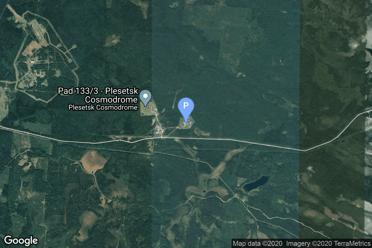
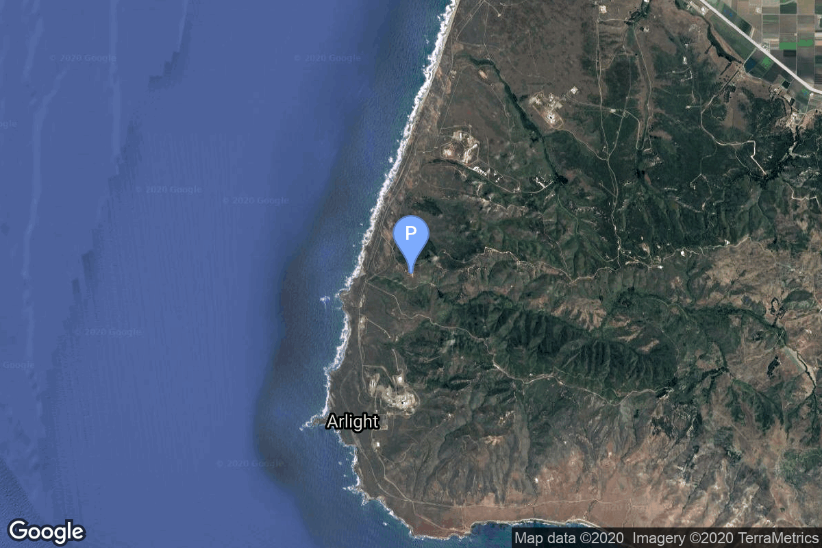
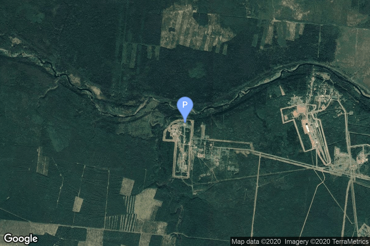
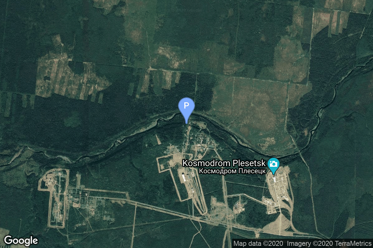
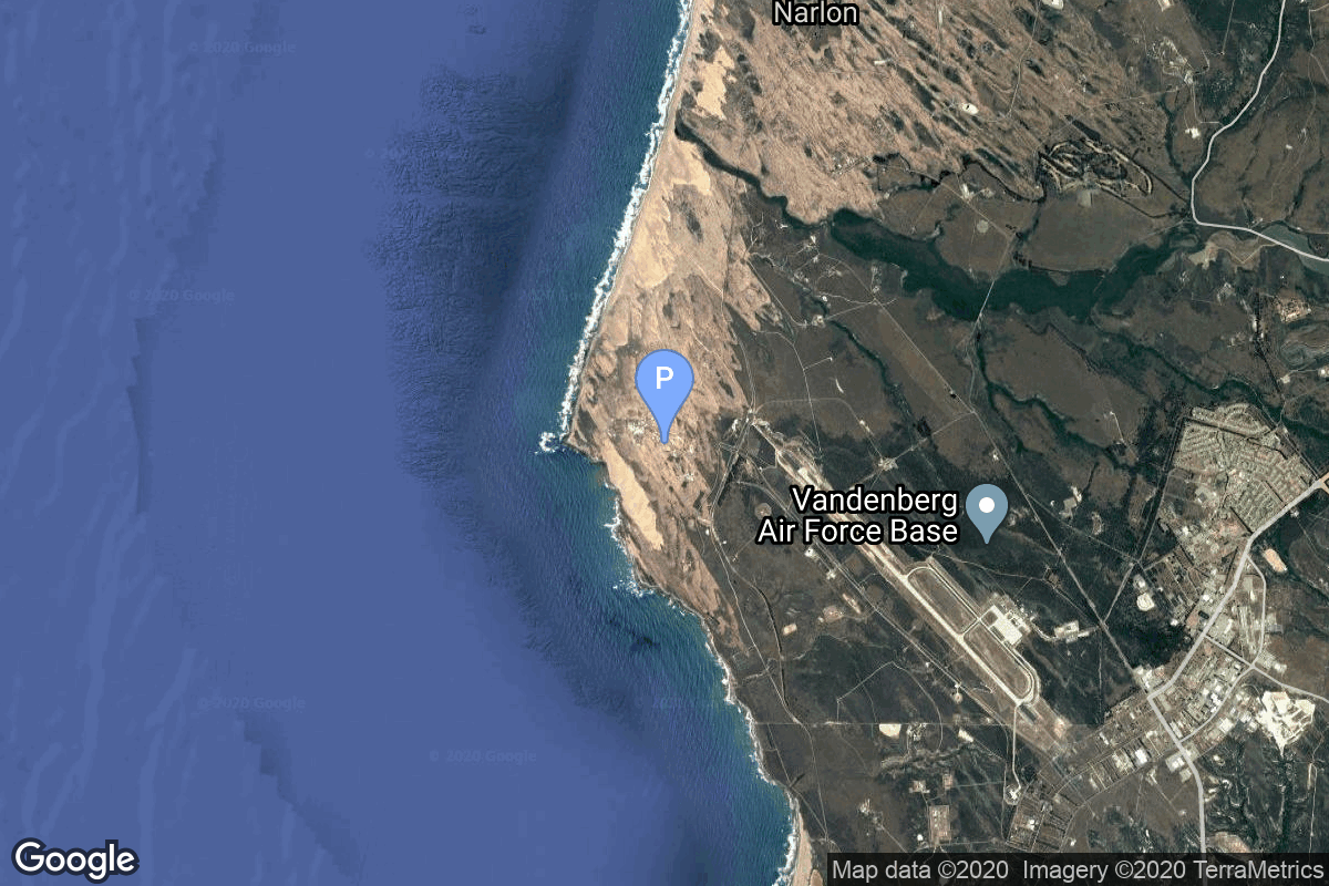
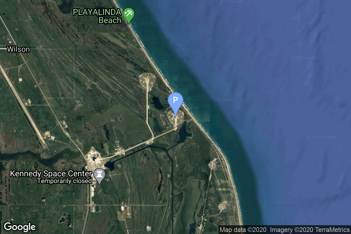
{ "count": 8136, "next": "https://lldev.thespacedevs.com/2.0.0/launch/?format=api&limit=10&offset=6660&ordering=-net", "previous": "https://lldev.thespacedevs.com/2.0.0/launch/?format=api&limit=10&offset=6640&ordering=-net", "results": [ { "id": "47438699-c1a5-4e4a-a675-df20261d05d7", "url": "https://lldev.thespacedevs.com/2.0.0/launch/47438699-c1a5-4e4a-a675-df20261d05d7/?format=api", "launch_library_id": null, "slug": "kosmos-3m-strela-2m-7", "name": "Kosmos-3M | Strela-2M 7", "status": { "id": 3, "name": "Success" }, "net": "1972-12-25T23:05:01Z", "window_end": "1972-12-25T23:05:01Z", "window_start": "1972-12-25T23:05:01Z", "inhold": false, "tbdtime": false, "tbddate": false, "probability": null, "holdreason": "", "failreason": null, "hashtag": null, "launch_service_provider": { "id": 66, "url": "https://lldev.thespacedevs.com/2.0.0/agencies/66/?format=api", "name": "Soviet Space Program", "type": "Government" }, "rocket": { "id": 4326, "configuration": { "id": 102, "launch_library_id": 122, "url": "https://lldev.thespacedevs.com/2.0.0/config/launcher/102/?format=api", "name": "Kosmos-3M", "family": "Kosmos", "full_name": "Kosmos-3M (11K65M)", "variant": "-3M" } }, "mission": { "id": 2744, "launch_library_id": null, "name": "Strela-2M 7", "description": "Military communications satellite", "launch_designator": null, "type": "Government/Top Secret", "orbit": { "id": 8, "name": "Low Earth Orbit", "abbrev": "LEO" } }, "pad": { "id": 167, "url": "https://lldev.thespacedevs.com/2.0.0/pad/167/?format=api", "agency_id": null, "name": "132/2", "info_url": null, "wiki_url": "https://en.wikipedia.org/wiki/Plesetsk_Cosmodrome", "map_url": "https://www.google.com/maps?q=62.883,40.869806", "latitude": "62.883", "longitude": "40.869806", "location": { "id": 6, "url": "https://lldev.thespacedevs.com/2.0.0/location/6/?format=api", "name": "Plesetsk Cosmodrome, Russian Federation", "country_code": "RUS", "map_image": "https://thespacedevs-dev.nyc3.digitaloceanspaces.com/media/map_images/location_6_20200803142434.jpg", "total_launch_count": 1689, "total_landing_count": 0 }, "map_image": "https://thespacedevs-dev.nyc3.digitaloceanspaces.com/media/map_images/pad_167_20200803143417.jpg", "total_launch_count": 172 }, "webcast_live": false, "image": "https://thespacedevs-dev.nyc3.digitaloceanspaces.com/media/images/kosmos-3m_durin_image_20251101171325.jpg", "infographic": null, "program": [] }, { "id": "82ef8831-6cd7-4d5e-adec-8a9d41ba1078", "url": "https://lldev.thespacedevs.com/2.0.0/launch/82ef8831-6cd7-4d5e-adec-8a9d41ba1078/?format=api", "launch_library_id": null, "slug": "titan-24b-kh-8-37", "name": "Titan 24B | KH-8 37", "status": { "id": 3, "name": "Success" }, "net": "1972-12-21T17:45:00Z", "window_end": "1972-12-21T17:45:00Z", "window_start": "1972-12-21T17:45:00Z", "inhold": false, "tbdtime": false, "tbddate": false, "probability": null, "holdreason": "", "failreason": null, "hashtag": null, "launch_service_provider": { "id": 161, "url": "https://lldev.thespacedevs.com/2.0.0/agencies/161/?format=api", "name": "United States Air Force", "type": "Government" }, "rocket": { "id": 4325, "configuration": { "id": 421, "launch_library_id": null, "url": "https://lldev.thespacedevs.com/2.0.0/config/launcher/421/?format=api", "name": "Titan 24B", "family": "Titan", "full_name": "Titan 24B", "variant": "24B" } }, "mission": { "id": 2743, "launch_library_id": null, "name": "KH-8 37", "description": "KH-8 Block 3 high resolution reconnaissance satellite.", "launch_designator": null, "type": "Government/Top Secret", "orbit": { "id": 8, "name": "Low Earth Orbit", "abbrev": "LEO" } }, "pad": { "id": 156, "url": "https://lldev.thespacedevs.com/2.0.0/pad/156/?format=api", "agency_id": null, "name": "Space Launch Complex 4W", "info_url": "https://www.astronautix.com/v/vandenbergslc4w.html", "wiki_url": "https://en.wikipedia.org/wiki/Vandenberg_Air_Force_Base_Space_Launch_Complex_4#SLC-4W", "map_url": "https://www.google.com/maps?q=34.63312,-120.61584", "latitude": "34.63312", "longitude": "-120.61584", "location": { "id": 11, "url": "https://lldev.thespacedevs.com/2.0.0/location/11/?format=api", "name": "Vandenberg SFB, CA, USA", "country_code": "USA", "map_image": "https://thespacedevs-dev.nyc3.digitaloceanspaces.com/media/map_images/location_11_20200803142416.jpg", "total_launch_count": 924, "total_landing_count": 37 }, "map_image": "https://thespacedevs-dev.nyc3.digitaloceanspaces.com/media/map_images/pad_156_20200803143351.jpg", "total_launch_count": 93 }, "webcast_live": false, "image": null, "infographic": null, "program": [] }, { "id": "94bbe730-3417-41a0-8a7d-80bdf8048d95", "url": "https://lldev.thespacedevs.com/2.0.0/launch/94bbe730-3417-41a0-8a7d-80bdf8048d95/?format=api", "launch_library_id": null, "slug": "kosmos-3m-sfera-9", "name": "Kosmos-3M | Sfera 9", "status": { "id": 3, "name": "Success" }, "net": "1972-12-21T02:05:00Z", "window_end": "1972-12-21T02:05:00Z", "window_start": "1972-12-21T02:05:00Z", "inhold": false, "tbdtime": false, "tbddate": false, "probability": null, "holdreason": "", "failreason": null, "hashtag": null, "launch_service_provider": { "id": 66, "url": "https://lldev.thespacedevs.com/2.0.0/agencies/66/?format=api", "name": "Soviet Space Program", "type": "Government" }, "rocket": { "id": 4324, "configuration": { "id": 102, "launch_library_id": 122, "url": "https://lldev.thespacedevs.com/2.0.0/config/launcher/102/?format=api", "name": "Kosmos-3M", "family": "Kosmos", "full_name": "Kosmos-3M (11K65M)", "variant": "-3M" } }, "mission": { "id": 2742, "launch_library_id": null, "name": "Sfera 9", "description": "The Sfera or Geoid series were the first soviet geodetic satellites to improve the accuracy of maps. The development of the satellites started in 1965 at NPO-PM.", "launch_designator": null, "type": "Earth Science", "orbit": { "id": 8, "name": "Low Earth Orbit", "abbrev": "LEO" } }, "pad": { "id": 167, "url": "https://lldev.thespacedevs.com/2.0.0/pad/167/?format=api", "agency_id": null, "name": "132/2", "info_url": null, "wiki_url": "https://en.wikipedia.org/wiki/Plesetsk_Cosmodrome", "map_url": "https://www.google.com/maps?q=62.883,40.869806", "latitude": "62.883", "longitude": "40.869806", "location": { "id": 6, "url": "https://lldev.thespacedevs.com/2.0.0/location/6/?format=api", "name": "Plesetsk Cosmodrome, Russian Federation", "country_code": "RUS", "map_image": "https://thespacedevs-dev.nyc3.digitaloceanspaces.com/media/map_images/location_6_20200803142434.jpg", "total_launch_count": 1689, "total_landing_count": 0 }, "map_image": "https://thespacedevs-dev.nyc3.digitaloceanspaces.com/media/map_images/pad_167_20200803143417.jpg", "total_launch_count": 172 }, "webcast_live": false, "image": "https://thespacedevs-dev.nyc3.digitaloceanspaces.com/media/images/kosmos-3m_durin_image_20251101171325.jpg", "infographic": null, "program": [] }, { "id": "8b07779e-8e95-44ed-9d4c-b82d32fc7888", "url": "https://lldev.thespacedevs.com/2.0.0/launch/8b07779e-8e95-44ed-9d4c-b82d32fc7888/?format=api", "launch_library_id": null, "slug": "atlas-slv-3a-agena-d-canyon-5", "name": "Atlas SLV-3A Agena D | Canyon 5", "status": { "id": 3, "name": "Success" }, "net": "1972-12-20T22:20:00Z", "window_end": "1972-12-20T22:20:00Z", "window_start": "1972-12-20T22:20:00Z", "inhold": false, "tbdtime": false, "tbddate": false, "probability": null, "holdreason": "", "failreason": null, "hashtag": null, "launch_service_provider": { "id": 161, "url": "https://lldev.thespacedevs.com/2.0.0/agencies/161/?format=api", "name": "United States Air Force", "type": "Government" }, "rocket": { "id": 4323, "configuration": { "id": 259, "launch_library_id": null, "url": "https://lldev.thespacedevs.com/2.0.0/config/launcher/259/?format=api", "name": "Atlas SLV-3A Agena D", "family": "Atlas", "full_name": "Atlas SLV-3A Agena D", "variant": "SLV-3A Agena D" } }, "mission": { "id": 2741, "launch_library_id": null, "name": "Canyon 5", "description": "Canyon was the first series of NRO's near geostationary ELINT/SIGINT satellites launched under the designation AFP-827 or Program 7500 for NRO's Program A. They were focussed on communications intelligence (COMINT).", "launch_designator": null, "type": "Government/Top Secret", "orbit": { "id": 1, "name": "Geostationary Orbit", "abbrev": "Direct-GEO" } }, "pad": { "id": 117, "url": "https://lldev.thespacedevs.com/2.0.0/pad/117/?format=api", "agency_id": 161, "name": "Space Launch Complex 13", "info_url": null, "wiki_url": "https://en.wikipedia.org/wiki/Cape_Canaveral_Launch_Complex_13", "map_url": "https://www.google.com/maps?q=28.4859,-80.546594", "latitude": "28.4859", "longitude": "-80.546594", "location": { "id": 12, "url": "https://lldev.thespacedevs.com/2.0.0/location/12/?format=api", "name": "Cape Canaveral SFS, FL, USA", "country_code": "USA", "map_image": "https://thespacedevs-dev.nyc3.digitaloceanspaces.com/media/map_images/location_12_20200803142519.jpg", "total_launch_count": 1132, "total_landing_count": 83 }, "map_image": "https://thespacedevs-dev.nyc3.digitaloceanspaces.com/media/map_images/pad_117_20200803143223.jpg", "total_launch_count": 21 }, "webcast_live": false, "image": "https://thespacedevs-dev.nyc3.digitaloceanspaces.com/media/images/atlas-slv3a_age_image_20251204210844.jpg", "infographic": null, "program": [] }, { "id": "d6a2cba0-b205-4c5f-b860-902b7b8f389b", "url": "https://lldev.thespacedevs.com/2.0.0/launch/d6a2cba0-b205-4c5f-b860-902b7b8f389b/?format=api", "launch_library_id": null, "slug": "scout-d-1-aeros-1", "name": "Scout D-1 | Aeros 1", "status": { "id": 3, "name": "Success" }, "net": "1972-12-16T11:24:56Z", "window_end": "1972-12-16T11:24:56Z", "window_start": "1972-12-16T11:24:56Z", "inhold": false, "tbdtime": false, "tbddate": false, "probability": null, "holdreason": "", "failreason": null, "hashtag": null, "launch_service_provider": { "id": 44, "url": "https://lldev.thespacedevs.com/2.0.0/agencies/44/?format=api", "name": "National Aeronautics and Space Administration", "type": "Government" }, "rocket": { "id": 4322, "configuration": { "id": 360, "launch_library_id": null, "url": "https://lldev.thespacedevs.com/2.0.0/config/launcher/360/?format=api", "name": "Scout D-1", "family": "Scout", "full_name": "Scout D-1", "variant": "D-1" } }, "mission": { "id": 2740, "launch_library_id": null, "name": "Aeros 1", "description": "Joint NASA-German ministry for science and education satellite to study the upper atmosphere.", "launch_designator": null, "type": "Earth Science", "orbit": { "id": 8, "name": "Low Earth Orbit", "abbrev": "LEO" } }, "pad": { "id": 154, "url": "https://lldev.thespacedevs.com/2.0.0/pad/154/?format=api", "agency_id": null, "name": "Space Launch Complex 5", "info_url": "https://www.astronautix.com/v/vandenbergslc5.html", "wiki_url": "https://en.wikipedia.org/wiki/Vandenberg_Air_Force_Base_Space_Launch_Complex_5", "map_url": "https://www.google.com/maps?q=34.6080,-120.6247", "latitude": "34.608", "longitude": "-120.6247", "location": { "id": 11, "url": "https://lldev.thespacedevs.com/2.0.0/location/11/?format=api", "name": "Vandenberg SFB, CA, USA", "country_code": "USA", "map_image": "https://thespacedevs-dev.nyc3.digitaloceanspaces.com/media/map_images/location_11_20200803142416.jpg", "total_launch_count": 924, "total_landing_count": 37 }, "map_image": "https://thespacedevs-dev.nyc3.digitaloceanspaces.com/media/map_images/pad_154_20200803143408.jpg", "total_launch_count": 69 }, "webcast_live": false, "image": "https://thespacedevs-dev.nyc3.digitaloceanspaces.com/media/images/scout-d1_2528a_image_20251115095638.png", "infographic": null, "program": [] }, { "id": "4ba7fcf1-43fb-4367-88ce-02f8cad32d0a", "url": "https://lldev.thespacedevs.com/2.0.0/launch/4ba7fcf1-43fb-4367-88ce-02f8cad32d0a/?format=api", "launch_library_id": null, "slug": "voskhod-zenit-4m-44", "name": "Voskhod | Zenit-4M 44", "status": { "id": 3, "name": "Success" }, "net": "1972-12-14T13:40:02Z", "window_end": "1972-12-14T13:40:02Z", "window_start": "1972-12-14T13:40:02Z", "inhold": false, "tbdtime": false, "tbddate": false, "probability": null, "holdreason": "", "failreason": null, "hashtag": null, "launch_service_provider": { "id": 66, "url": "https://lldev.thespacedevs.com/2.0.0/agencies/66/?format=api", "name": "Soviet Space Program", "type": "Government" }, "rocket": { "id": 4321, "configuration": { "id": 104, "launch_library_id": 138, "url": "https://lldev.thespacedevs.com/2.0.0/config/launcher/104/?format=api", "name": "Voskhod", "family": "R-7", "full_name": "Voskhod", "variant": "Voskhod" } }, "mission": { "id": 2739, "launch_library_id": null, "name": "Zenit-4M 44", "description": "The soviet Zenit-4M (Rotor, 11F691) was an improved version of the Zenit-4 high resolution reconnaissance satellite and was part of the Vostok-based Zenit-family.", "launch_designator": null, "type": "Government/Top Secret", "orbit": { "id": 8, "name": "Low Earth Orbit", "abbrev": "LEO" } }, "pad": { "id": 85, "url": "https://lldev.thespacedevs.com/2.0.0/pad/85/?format=api", "agency_id": 163, "name": "43/4 (43R)", "info_url": null, "wiki_url": null, "map_url": "https://www.google.com/maps?q=62.92883,40.457098", "latitude": "62.92883", "longitude": "40.457098", "location": { "id": 6, "url": "https://lldev.thespacedevs.com/2.0.0/location/6/?format=api", "name": "Plesetsk Cosmodrome, Russian Federation", "country_code": "RUS", "map_image": "https://thespacedevs-dev.nyc3.digitaloceanspaces.com/media/map_images/location_6_20200803142434.jpg", "total_launch_count": 1689, "total_landing_count": 0 }, "map_image": "https://thespacedevs-dev.nyc3.digitaloceanspaces.com/media/map_images/pad_85_20200803143554.jpg", "total_launch_count": 329 }, "webcast_live": false, "image": "https://thespacedevs-dev.nyc3.digitaloceanspaces.com/media/images/voskhod_during__image_20251102062248.jpg", "infographic": null, "program": [] }, { "id": "dee987e1-d9a5-4cd3-8421-65038869d66d", "url": "https://lldev.thespacedevs.com/2.0.0/launch/dee987e1-d9a5-4cd3-8421-65038869d66d/?format=api", "launch_library_id": null, "slug": "molniya-m-molniya-2-4", "name": "Molniya-M | Molniya-2 4", "status": { "id": 3, "name": "Success" }, "net": "1972-12-12T06:51:01Z", "window_end": "1972-12-12T06:51:01Z", "window_start": "1972-12-12T06:51:01Z", "inhold": false, "tbdtime": false, "tbddate": false, "probability": null, "holdreason": "", "failreason": null, "hashtag": null, "launch_service_provider": { "id": 66, "url": "https://lldev.thespacedevs.com/2.0.0/agencies/66/?format=api", "name": "Soviet Space Program", "type": "Government" }, "rocket": { "id": 4320, "configuration": { "id": 106, "launch_library_id": 126, "url": "https://lldev.thespacedevs.com/2.0.0/config/launcher/106/?format=api", "name": "Molniya-M", "family": "R-7", "full_name": "Molniya-M 2BL", "variant": "2BL" } }, "mission": { "id": 2738, "launch_library_id": null, "name": "Molniya-2 4", "description": "Government communications satellite.", "launch_designator": null, "type": "Government/Top Secret", "orbit": { "id": 0, "name": "Elliptical Orbit", "abbrev": "Elliptical" } }, "pad": { "id": 168, "url": "https://lldev.thespacedevs.com/2.0.0/pad/168/?format=api", "agency_id": null, "name": "41/1", "info_url": null, "wiki_url": "https://en.wikipedia.org/wiki/Plesetsk_Cosmodrome", "map_url": "https://www.google.com/maps?q=62.941,40.526806", "latitude": "62.941", "longitude": "40.526806", "location": { "id": 6, "url": "https://lldev.thespacedevs.com/2.0.0/location/6/?format=api", "name": "Plesetsk Cosmodrome, Russian Federation", "country_code": "RUS", "map_image": "https://thespacedevs-dev.nyc3.digitaloceanspaces.com/media/map_images/location_6_20200803142434.jpg", "total_launch_count": 1689, "total_landing_count": 0 }, "map_image": "https://thespacedevs-dev.nyc3.digitaloceanspaces.com/media/map_images/pad_168_20200803143446.jpg", "total_launch_count": 310 }, "webcast_live": false, "image": "https://thespacedevs-dev.nyc3.digitaloceanspaces.com/media/images/molniya_m_image_20251102061752.jpg", "infographic": null, "program": [] }, { "id": "db98b4e7-f262-4a92-bb70-70aae3782fb2", "url": "https://lldev.thespacedevs.com/2.0.0/launch/db98b4e7-f262-4a92-bb70-70aae3782fb2/?format=api", "launch_library_id": null, "slug": "delta-0900-nimbus-5", "name": "Delta 0900 | Nimbus 5", "status": { "id": 3, "name": "Success" }, "net": "1972-12-11T07:56:00Z", "window_end": "1972-12-11T07:56:00Z", "window_start": "1972-12-11T07:56:00Z", "inhold": false, "tbdtime": false, "tbddate": false, "probability": null, "holdreason": "", "failreason": null, "hashtag": null, "launch_service_provider": { "id": 161, "url": "https://lldev.thespacedevs.com/2.0.0/agencies/161/?format=api", "name": "United States Air Force", "type": "Government" }, "rocket": { "id": 4319, "configuration": { "id": 276, "launch_library_id": null, "url": "https://lldev.thespacedevs.com/2.0.0/config/launcher/276/?format=api", "name": "Delta 0900", "family": "Delta", "full_name": "Delta 0900", "variant": "0900" } }, "mission": { "id": 2737, "launch_library_id": null, "name": "Nimbus 5", "description": "Satellite used to test advanced meteorological sensor systems", "launch_designator": null, "type": "Earth Science", "orbit": { "id": 8, "name": "Low Earth Orbit", "abbrev": "LEO" } }, "pad": { "id": 39, "url": "https://lldev.thespacedevs.com/2.0.0/pad/39/?format=api", "agency_id": null, "name": "Space Launch Complex 2W", "info_url": null, "wiki_url": "https://en.wikipedia.org/wiki/Vandenberg_Space_Launch_Complex_2", "map_url": "https://www.google.com/maps?q=34.7556,-120.6224", "latitude": "34.7556", "longitude": "-120.6224", "location": { "id": 11, "url": "https://lldev.thespacedevs.com/2.0.0/location/11/?format=api", "name": "Vandenberg SFB, CA, USA", "country_code": "USA", "map_image": "https://thespacedevs-dev.nyc3.digitaloceanspaces.com/media/map_images/location_11_20200803142416.jpg", "total_launch_count": 924, "total_landing_count": 37 }, "map_image": "https://thespacedevs-dev.nyc3.digitaloceanspaces.com/media/map_images/pad_39_20200803143542.jpg", "total_launch_count": 99 }, "webcast_live": false, "image": "https://thespacedevs-dev.nyc3.digitaloceanspaces.com/media/images/delta_0900_image_20231231081129.jpg", "infographic": null, "program": [] }, { "id": "f6576afc-2f03-45e2-bc03-f7fddb6a4c36", "url": "https://lldev.thespacedevs.com/2.0.0/launch/f6576afc-2f03-45e2-bc03-f7fddb6a4c36/?format=api", "launch_library_id": 984, "slug": "saturn-v-apollo-17", "name": "Saturn V | Apollo 17", "status": { "id": 3, "name": "Success" }, "net": "1972-12-07T05:33:00Z", "window_end": "1972-12-07T05:33:00Z", "window_start": "1972-12-07T05:33:00Z", "inhold": false, "tbdtime": false, "tbddate": false, "probability": null, "holdreason": "", "failreason": null, "hashtag": null, "launch_service_provider": { "id": 44, "url": "https://lldev.thespacedevs.com/2.0.0/agencies/44/?format=api", "name": "National Aeronautics and Space Administration", "type": "Government" }, "rocket": { "id": 236, "configuration": { "id": 93, "launch_library_id": 136, "url": "https://lldev.thespacedevs.com/2.0.0/config/launcher/93/?format=api", "name": "Saturn V", "family": "Saturn", "full_name": "Saturn V", "variant": "V" } }, "mission": { "id": 162, "launch_library_id": 247, "name": "Apollo 17", "description": "Apollo 17 was the final mission of the Apollo program. The craft was crewed by Commander Eugene Cernan, Lunar Module Pilot Harrison Schmitt & Command Module Pilot Ronald Evans. The mission lasted for 12 days, 13 hours, 51 minutes and 59 seconds during which time Cernan & Schmitt spent 3 days on lunar surface completing three moonwalks to collect lunar samples and install scientific instruments on the surface. Apollo 17 was the last time human beings have gone beyond Low Earth Orbit.", "launch_designator": null, "type": "Human Exploration", "orbit": { "id": 11, "name": "Lunar Orbit", "abbrev": "LO" } }, "pad": { "id": 87, "url": "https://lldev.thespacedevs.com/2.0.0/pad/87/?format=api", "agency_id": 121, "name": "Launch Complex 39A", "info_url": null, "wiki_url": "https://en.wikipedia.org/wiki/Kennedy_Space_Center_Launch_Complex_39#Launch_Pad_39A", "map_url": "https://www.google.com/maps?q=28.60822681,-80.60428186", "latitude": "28.60822681", "longitude": "-80.60428186", "location": { "id": 27, "url": "https://lldev.thespacedevs.com/2.0.0/location/27/?format=api", "name": "Kennedy Space Center, FL, USA", "country_code": "USA", "map_image": "https://thespacedevs-dev.nyc3.digitaloceanspaces.com/media/map_images/location_27_20200803142447.jpg", "total_launch_count": 283, "total_landing_count": 0 }, "map_image": "https://thespacedevs-dev.nyc3.digitaloceanspaces.com/media/map_images/pad_87_20200803143537.jpg", "total_launch_count": 224 }, "webcast_live": false, "image": "https://thespacedevs-dev.nyc3.digitaloceanspaces.com/media/images/saturn2520v_image_20190222030036.jpeg", "infographic": null, "program": [ { "id": 4, "url": "https://lldev.thespacedevs.com/2.0.0/program/4/?format=api", "name": "Apollo", "description": "The Apollo program was the third United States human spaceflight program carried out by the National Aeronautics and Space Administration (NASA), which succeeded in landing the first humans on the Moon from 1969 to 1972.", "agencies": [ { "id": 44, "url": "https://lldev.thespacedevs.com/2.0.0/agencies/44/?format=api", "name": "National Aeronautics and Space Administration", "type": "Government" } ], "image_url": "https://thespacedevs-dev.nyc3.digitaloceanspaces.com/media/images/apollo_program_20200820200202.png", "start_date": "1966-11-16T00:00:00Z", "end_date": "1972-12-19T19:24:59Z", "info_url": "https://www.nasa.gov/mission_pages/apollo/index.html", "wiki_url": "https://en.wikipedia.org/wiki/Apollo_program" } ] }, { "id": "4cb3985d-81dd-492b-b2d0-ed8dd3289fe9", "url": "https://lldev.thespacedevs.com/2.0.0/launch/4cb3985d-81dd-492b-b2d0-ed8dd3289fe9/?format=api", "launch_library_id": null, "slug": "molniya-m-molniya-1-22", "name": "Molniya-M | Molniya-1 22", "status": { "id": 3, "name": "Success" }, "net": "1972-12-02T04:39:57Z", "window_end": "1972-12-02T04:39:57Z", "window_start": "1972-12-02T04:39:57Z", "inhold": false, "tbdtime": false, "tbddate": false, "probability": null, "holdreason": "", "failreason": null, "hashtag": null, "launch_service_provider": { "id": 66, "url": "https://lldev.thespacedevs.com/2.0.0/agencies/66/?format=api", "name": "Soviet Space Program", "type": "Government" }, "rocket": { "id": 4318, "configuration": { "id": 106, "launch_library_id": 126, "url": "https://lldev.thespacedevs.com/2.0.0/config/launcher/106/?format=api", "name": "Molniya-M", "family": "R-7", "full_name": "Molniya-M 2BL", "variant": "2BL" } }, "mission": { "id": 2736, "launch_library_id": null, "name": "Molniya-1 22", "description": "The Molniya were Soviet communication satellites operating from an inclined highly elliptical earth orbit of 500 km × 40000 km with 12 hour period for coverage of high northern latitudes.", "launch_designator": null, "type": "Communications", "orbit": { "id": 0, "name": "Elliptical Orbit", "abbrev": "Elliptical" } }, "pad": { "id": 32, "url": "https://lldev.thespacedevs.com/2.0.0/pad/32/?format=api", "agency_id": null, "name": "1/5", "info_url": null, "wiki_url": "", "map_url": "https://www.google.com/maps?q=45.92,63.342", "latitude": "45.92", "longitude": "63.342", "location": { "id": 15, "url": "https://lldev.thespacedevs.com/2.0.0/location/15/?format=api", "name": "Baikonur Cosmodrome, Republic of Kazakhstan", "country_code": "KAZ", "map_image": "https://thespacedevs-dev.nyc3.digitaloceanspaces.com/media/map_images/location_15_20200803142517.jpg", "total_launch_count": 1565, "total_landing_count": 0 }, "map_image": "https://thespacedevs-dev.nyc3.digitaloceanspaces.com/media/map_images/pad_32_20200803143513.jpg", "total_launch_count": 487 }, "webcast_live": false, "image": "https://thespacedevs-dev.nyc3.digitaloceanspaces.com/media/images/molniya_m_image_20251102061752.jpg", "infographic": null, "program": [] } ] }