Launch List
API endpoint that returns all Launch objects or a single launch.
EXAMPLE - /launch/
GET: Return a list of all Launch objects.
FILTERS: Fields - 'name', 'id(s)', 'lsp_id', 'lsp_name', 'serial_number', 'launcher_config__id', 'rocket__spacecraftflight__spacecraft__name'
MODE: 'normal', 'list', 'detailed' EXAMPLE: ?mode=list
SEARCH: Searches through the launch name, rocket name, launch agency, mission name & spacecraft name. EXAMPLE - ?search=SpaceX
GET /2.0.0/launch/?format=api&offset=6620&ordering=-id
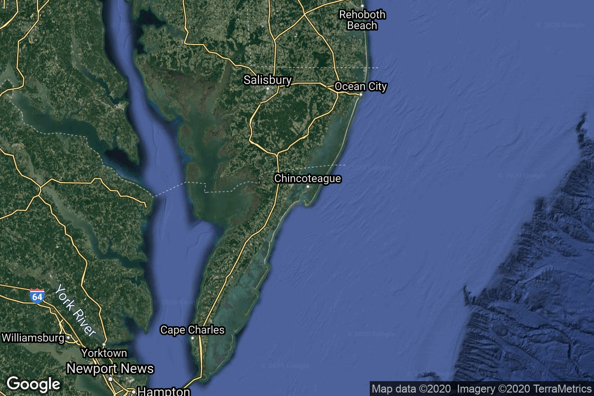
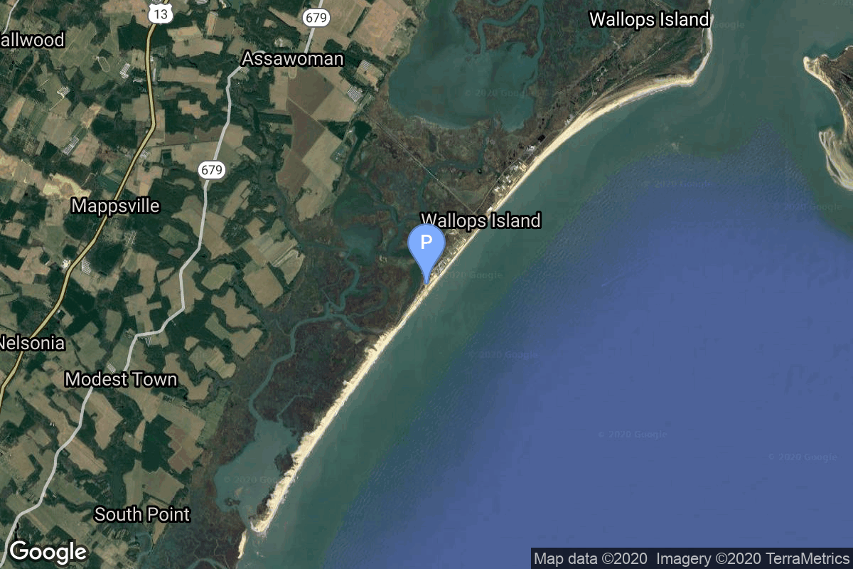
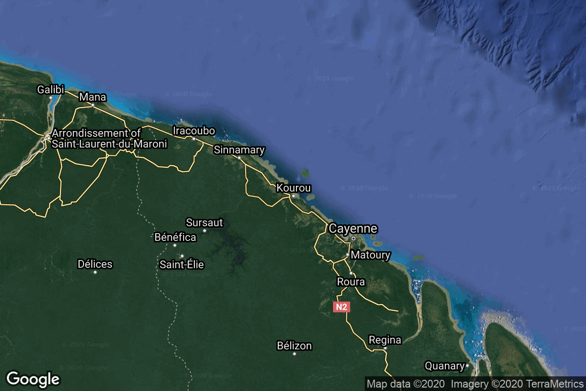
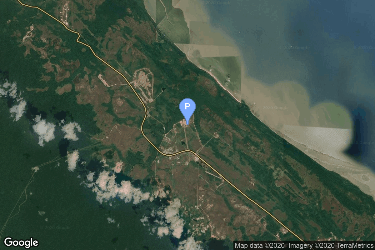
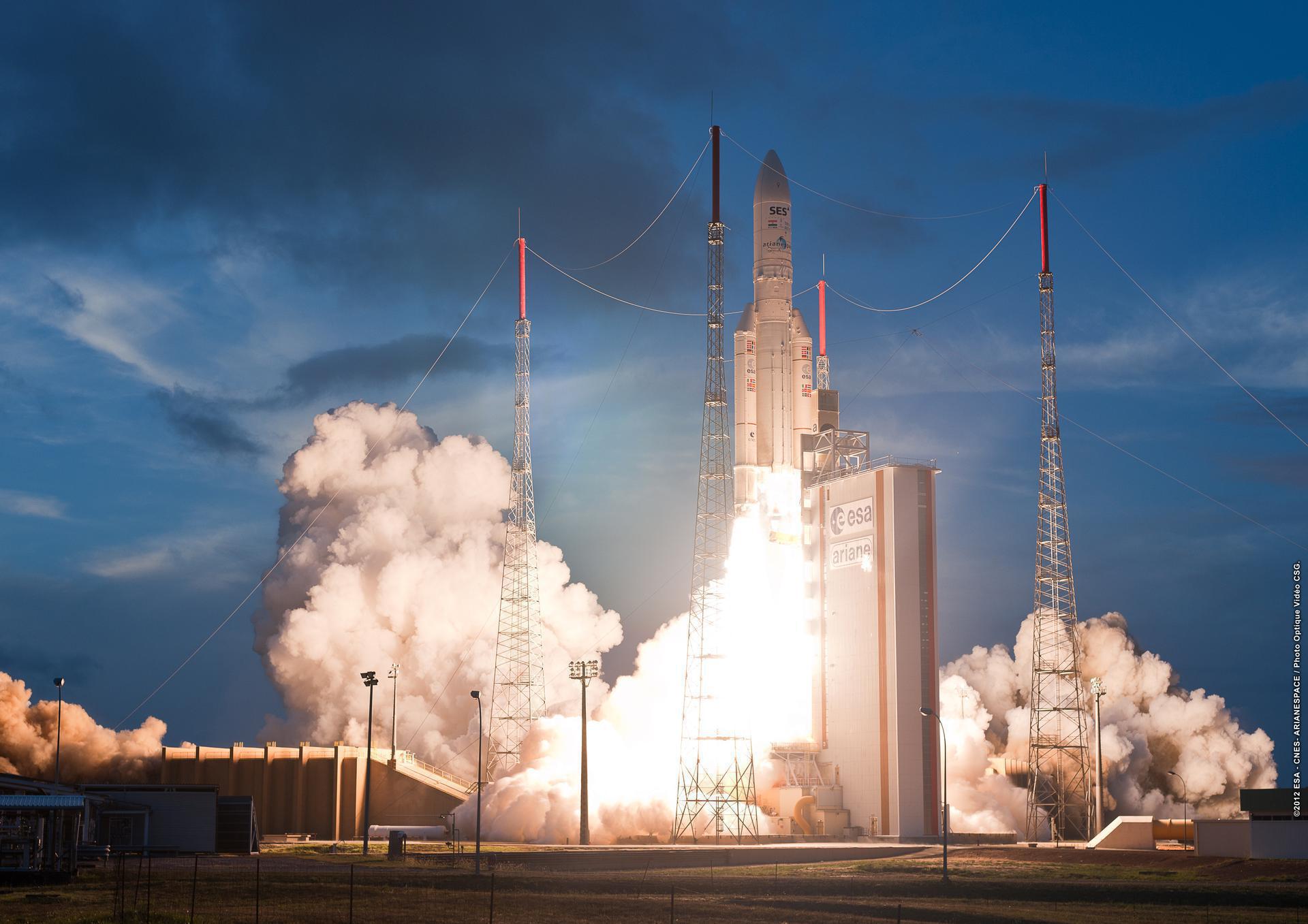
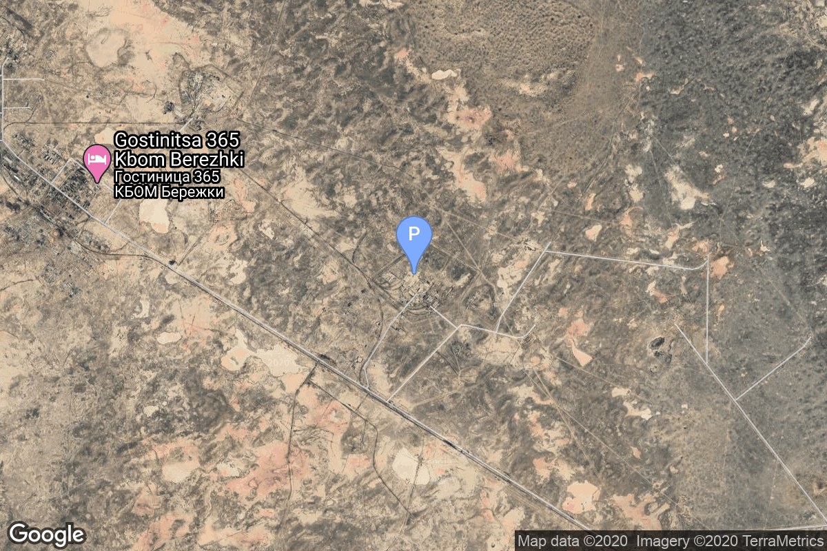
{ "count": 8136, "next": "https://lldev.thespacedevs.com/2.0.0/launch/?format=api&limit=10&offset=6630&ordering=-id", "previous": "https://lldev.thespacedevs.com/2.0.0/launch/?format=api&limit=10&offset=6610&ordering=-id", "results": [ { "id": "315905f1-a296-4b0a-b9d7-b3aeac2aa6a9", "url": "https://lldev.thespacedevs.com/2.0.0/launch/315905f1-a296-4b0a-b9d7-b3aeac2aa6a9/?format=api", "launch_library_id": null, "slug": "proton-kdm-gorizont-2", "name": "Proton-K/DM | Gorizont 2", "status": { "id": 3, "name": "Success" }, "net": "1979-07-05T23:19:00Z", "window_end": "1979-07-05T23:19:00Z", "window_start": "1979-07-05T23:19:00Z", "inhold": false, "tbdtime": false, "tbddate": false, "probability": null, "holdreason": "", "failreason": null, "hashtag": null, "launch_service_provider": { "id": 66, "url": "https://lldev.thespacedevs.com/2.0.0/agencies/66/?format=api", "name": "Soviet Space Program", "type": "Government" }, "rocket": { "id": 5090, "configuration": { "id": 349, "launch_library_id": null, "url": "https://lldev.thespacedevs.com/2.0.0/config/launcher/349/?format=api", "name": "Proton-K/DM", "family": "Proton / UR-500", "full_name": "Proton-K/DM", "variant": "DM" } }, "mission": { "id": 3502, "launch_library_id": null, "name": "Gorizont 2", "description": "Geostationary communications satellite", "launch_designator": null, "type": "Communications", "orbit": { "id": 1, "name": "Geostationary Orbit", "abbrev": "Direct-GEO" } }, "pad": { "id": 130, "url": "https://lldev.thespacedevs.com/2.0.0/pad/130/?format=api", "agency_id": null, "name": "200/40", "info_url": null, "wiki_url": "https://en.wikipedia.org/wiki/Baikonur_Cosmodrome_Site_200", "map_url": "https://www.google.com/maps?q=46.0336111,63.0266949", "latitude": "46.0336111", "longitude": "63.0266949", "location": { "id": 15, "url": "https://lldev.thespacedevs.com/2.0.0/location/15/?format=api", "name": "Baikonur Cosmodrome, Republic of Kazakhstan", "country_code": "KAZ", "map_image": "https://thespacedevs-dev.nyc3.digitaloceanspaces.com/media/map_images/location_15_20200803142517.jpg", "total_launch_count": 1565, "total_landing_count": 0 }, "map_image": "https://thespacedevs-dev.nyc3.digitaloceanspaces.com/media/map_images/pad_130_20200803143249.jpg", "total_launch_count": 64 }, "webcast_live": false, "image": "https://thespacedevs-dev.nyc3.digitaloceanspaces.com/media/images/proton_image_20231231095535.jpg", "infographic": null, "program": [] }, { "id": "31334ced-ef7c-40a6-a8bb-9ed35430bbd8", "url": "https://lldev.thespacedevs.com/2.0.0/launch/31334ced-ef7c-40a6-a8bb-9ed35430bbd8/?format=api", "launch_library_id": null, "slug": "molniya-m-molniya-1t-63", "name": "Molniya-M | Molniya-1T 63", "status": { "id": 3, "name": "Success" }, "net": "1984-12-14T20:40:59Z", "window_end": "1984-12-14T20:40:59Z", "window_start": "1984-12-14T20:40:59Z", "inhold": false, "tbdtime": false, "tbddate": false, "probability": null, "holdreason": "", "failreason": null, "hashtag": null, "launch_service_provider": { "id": 66, "url": "https://lldev.thespacedevs.com/2.0.0/agencies/66/?format=api", "name": "Soviet Space Program", "type": "Government" }, "rocket": { "id": 5704, "configuration": { "id": 106, "launch_library_id": 126, "url": "https://lldev.thespacedevs.com/2.0.0/config/launcher/106/?format=api", "name": "Molniya-M", "family": "R-7", "full_name": "Molniya-M 2BL", "variant": "2BL" } }, "mission": { "id": 4105, "launch_library_id": null, "name": "Molniya-1T 63", "description": "Military communications satellite in a highly elliptic orbit", "launch_designator": null, "type": "Communications", "orbit": { "id": 0, "name": "Elliptical Orbit", "abbrev": "Elliptical" } }, "pad": { "id": 168, "url": "https://lldev.thespacedevs.com/2.0.0/pad/168/?format=api", "agency_id": null, "name": "41/1", "info_url": null, "wiki_url": "https://en.wikipedia.org/wiki/Plesetsk_Cosmodrome", "map_url": "https://www.google.com/maps?q=62.941,40.526806", "latitude": "62.941", "longitude": "40.526806", "location": { "id": 6, "url": "https://lldev.thespacedevs.com/2.0.0/location/6/?format=api", "name": "Plesetsk Cosmodrome, Russian Federation", "country_code": "RUS", "map_image": "https://thespacedevs-dev.nyc3.digitaloceanspaces.com/media/map_images/location_6_20200803142434.jpg", "total_launch_count": 1689, "total_landing_count": 0 }, "map_image": "https://thespacedevs-dev.nyc3.digitaloceanspaces.com/media/map_images/pad_168_20200803143446.jpg", "total_launch_count": 310 }, "webcast_live": false, "image": "https://thespacedevs-dev.nyc3.digitaloceanspaces.com/media/images/molniya_m_image_20251102061752.jpg", "infographic": null, "program": [] }, { "id": "312fa04a-67d8-4ee6-8ed4-19793f8d2fea", "url": "https://lldev.thespacedevs.com/2.0.0/launch/312fa04a-67d8-4ee6-8ed4-19793f8d2fea/?format=api", "launch_library_id": null, "slug": "soyuz-u-yantar-2k-25", "name": "Soyuz U | Yantar-2K 25", "status": { "id": 3, "name": "Success" }, "net": "1982-04-15T14:30:00Z", "window_end": "1982-04-15T14:30:00Z", "window_start": "1982-04-15T14:30:00Z", "inhold": false, "tbdtime": false, "tbddate": false, "probability": null, "holdreason": "", "failreason": null, "hashtag": null, "launch_service_provider": { "id": 66, "url": "https://lldev.thespacedevs.com/2.0.0/agencies/66/?format=api", "name": "Soviet Space Program", "type": "Government" }, "rocket": { "id": 5386, "configuration": { "id": 37, "launch_library_id": 35, "url": "https://lldev.thespacedevs.com/2.0.0/config/launcher/37/?format=api", "name": "Soyuz U", "family": "Soyuz", "full_name": "Soyuz U", "variant": "" } }, "mission": { "id": 3793, "launch_library_id": null, "name": "Yantar-2K 25", "description": "High-resolution film-return Yantar reconnaissance satellite", "launch_designator": null, "type": "Government/Top Secret", "orbit": { "id": 8, "name": "Low Earth Orbit", "abbrev": "LEO" } }, "pad": { "id": 168, "url": "https://lldev.thespacedevs.com/2.0.0/pad/168/?format=api", "agency_id": null, "name": "41/1", "info_url": null, "wiki_url": "https://en.wikipedia.org/wiki/Plesetsk_Cosmodrome", "map_url": "https://www.google.com/maps?q=62.941,40.526806", "latitude": "62.941", "longitude": "40.526806", "location": { "id": 6, "url": "https://lldev.thespacedevs.com/2.0.0/location/6/?format=api", "name": "Plesetsk Cosmodrome, Russian Federation", "country_code": "RUS", "map_image": "https://thespacedevs-dev.nyc3.digitaloceanspaces.com/media/map_images/location_6_20200803142434.jpg", "total_launch_count": 1689, "total_landing_count": 0 }, "map_image": "https://thespacedevs-dev.nyc3.digitaloceanspaces.com/media/map_images/pad_168_20200803143446.jpg", "total_launch_count": 310 }, "webcast_live": false, "image": "https://thespacedevs-dev.nyc3.digitaloceanspaces.com/media/images/soyuz2520u_image_20190222031023.jpeg", "infographic": null, "program": [] }, { "id": "312c0b59-1cc2-4351-9de3-ab2f3259e013", "url": "https://lldev.thespacedevs.com/2.0.0/launch/312c0b59-1cc2-4351-9de3-ab2f3259e013/?format=api", "launch_library_id": null, "slug": "kosmos-3m-zaliv-gvm-4", "name": "Kosmos-3M | Zaliv-GVM 4", "status": { "id": 3, "name": "Success" }, "net": "1973-01-26T11:44:45Z", "window_end": "1973-01-26T11:44:45Z", "window_start": "1973-01-26T11:44:45Z", "inhold": false, "tbdtime": false, "tbddate": false, "probability": null, "holdreason": "", "failreason": null, "hashtag": null, "launch_service_provider": { "id": 66, "url": "https://lldev.thespacedevs.com/2.0.0/agencies/66/?format=api", "name": "Soviet Space Program", "type": "Government" }, "rocket": { "id": 4333, "configuration": { "id": 102, "launch_library_id": 122, "url": "https://lldev.thespacedevs.com/2.0.0/config/launcher/102/?format=api", "name": "Kosmos-3M", "family": "Kosmos", "full_name": "Kosmos-3M (11K65M)", "variant": "-3M" } }, "mission": { "id": 2751, "launch_library_id": null, "name": "Zaliv-GVM 4", "description": "The Zaliv-GVM satellites were mass models of the Zaliv navigation satellites, which were launched as payload substitutes on some Kosmos-3M evaluation launches.", "launch_designator": null, "type": "Test Flight", "orbit": { "id": 8, "name": "Low Earth Orbit", "abbrev": "LEO" } }, "pad": { "id": 137, "url": "https://lldev.thespacedevs.com/2.0.0/pad/137/?format=api", "agency_id": null, "name": "107/1", "info_url": null, "wiki_url": "https://en.wikipedia.org/wiki/Kapustin_Yar", "map_url": "https://www.google.com/maps?q=48.540716,46.296826", "latitude": "48.540716", "longitude": "46.296826", "location": { "id": 30, "url": "https://lldev.thespacedevs.com/2.0.0/location/30/?format=api", "name": "Kapustin Yar, Russian Federation", "country_code": "RUS", "map_image": "https://thespacedevs-dev.nyc3.digitaloceanspaces.com/media/map_images/location_30_20200803142515.jpg", "total_launch_count": 101, "total_landing_count": 0 }, "map_image": "https://thespacedevs-dev.nyc3.digitaloceanspaces.com/media/map_images/pad_137_20200803143332.jpg", "total_launch_count": 20 }, "webcast_live": false, "image": "https://thespacedevs-dev.nyc3.digitaloceanspaces.com/media/images/kosmos-3m_durin_image_20251101171325.jpg", "infographic": null, "program": [] }, { "id": "312a2127-c72b-4972-99ae-7e88895fc40b", "url": "https://lldev.thespacedevs.com/2.0.0/launch/312a2127-c72b-4972-99ae-7e88895fc40b/?format=api", "launch_library_id": null, "slug": "proton-kdm-ekran-4", "name": "Proton-K/DM | Ekran", "status": { "id": 4, "name": "Failure" }, "net": "1978-08-17T20:02:00Z", "window_end": "1978-08-17T20:02:00Z", "window_start": "1978-08-17T20:02:00Z", "inhold": false, "tbdtime": false, "tbddate": false, "probability": null, "holdreason": "", "failreason": null, "hashtag": null, "launch_service_provider": { "id": 66, "url": "https://lldev.thespacedevs.com/2.0.0/agencies/66/?format=api", "name": "Soviet Space Program", "type": "Government" }, "rocket": { "id": 4989, "configuration": { "id": 349, "launch_library_id": null, "url": "https://lldev.thespacedevs.com/2.0.0/config/launcher/349/?format=api", "name": "Proton-K/DM", "family": "Proton / UR-500", "full_name": "Proton-K/DM", "variant": "DM" } }, "mission": { "id": 3186, "launch_library_id": null, "name": "Ekran", "description": "Ekran was a Soviet series of geostationary satellites which were the first in the world to provide Direct-To-Home TV service.", "launch_designator": null, "type": "Communications", "orbit": { "id": 1, "name": "Geostationary Orbit", "abbrev": "Direct-GEO" } }, "pad": { "id": 130, "url": "https://lldev.thespacedevs.com/2.0.0/pad/130/?format=api", "agency_id": null, "name": "200/40", "info_url": null, "wiki_url": "https://en.wikipedia.org/wiki/Baikonur_Cosmodrome_Site_200", "map_url": "https://www.google.com/maps?q=46.0336111,63.0266949", "latitude": "46.0336111", "longitude": "63.0266949", "location": { "id": 15, "url": "https://lldev.thespacedevs.com/2.0.0/location/15/?format=api", "name": "Baikonur Cosmodrome, Republic of Kazakhstan", "country_code": "KAZ", "map_image": "https://thespacedevs-dev.nyc3.digitaloceanspaces.com/media/map_images/location_15_20200803142517.jpg", "total_launch_count": 1565, "total_landing_count": 0 }, "map_image": "https://thespacedevs-dev.nyc3.digitaloceanspaces.com/media/map_images/pad_130_20200803143249.jpg", "total_launch_count": 64 }, "webcast_live": false, "image": "https://thespacedevs-dev.nyc3.digitaloceanspaces.com/media/images/proton_image_20231231095535.jpg", "infographic": null, "program": [] }, { "id": "3109e8a5-dea6-4b0b-aae2-587677e1cd87", "url": "https://lldev.thespacedevs.com/2.0.0/launch/3109e8a5-dea6-4b0b-aae2-587677e1cd87/?format=api", "launch_library_id": null, "slug": "minotaur-i-tacsat-2", "name": "Minotaur I | Tacsat 2", "status": { "id": 3, "name": "Success" }, "net": "2006-12-16T12:00:00Z", "window_end": "2006-12-16T12:00:00Z", "window_start": "2006-12-16T12:00:00Z", "inhold": false, "tbdtime": false, "tbddate": false, "probability": null, "holdreason": "", "failreason": null, "hashtag": null, "launch_service_provider": { "id": 100, "url": "https://lldev.thespacedevs.com/2.0.0/agencies/100/?format=api", "name": "Orbital Sciences Corporation", "type": "Commercial" }, "rocket": { "id": 7297, "configuration": { "id": 175, "launch_library_id": 19, "url": "https://lldev.thespacedevs.com/2.0.0/config/launcher/175/?format=api", "name": "Minotaur I", "family": "Minotaur", "full_name": "Minotaur I", "variant": "" } }, "mission": { "id": 5686, "launch_library_id": null, "name": "Tacsat 2", "description": "Technology satellite for the US Air Force", "launch_designator": null, "type": "Technology", "orbit": { "id": 8, "name": "Low Earth Orbit", "abbrev": "LEO" } }, "pad": { "id": 56, "url": "https://lldev.thespacedevs.com/2.0.0/pad/56/?format=api", "agency_id": 44, "name": "Launch Area 0 B", "info_url": null, "wiki_url": "https://en.wikipedia.org/wiki/Mid-Atlantic_Regional_Spaceport_Launch_Pad_0#Pad-0B", "map_url": "https://www.google.com/maps?q=37.831,-75.4911", "latitude": "37.831", "longitude": "-75.4911", "location": { "id": 21, "url": "https://lldev.thespacedevs.com/2.0.0/location/21/?format=api", "name": "Wallops Flight Facility, Virginia, USA", "country_code": "USA", "map_image": "https://thespacedevs-dev.nyc3.digitaloceanspaces.com/media/map_images/location_21_20200803142423.jpg", "total_launch_count": 87, "total_landing_count": 0 }, "map_image": "https://thespacedevs-dev.nyc3.digitaloceanspaces.com/media/map_images/pad_56_20200803143541.jpg", "total_launch_count": 8 }, "webcast_live": false, "image": "https://thespacedevs-dev.nyc3.digitaloceanspaces.com/media/images/minotaur2520i_image_20190224012247.jpeg", "infographic": null, "program": [] }, { "id": "3109ab62-5c6d-48c4-9ba2-b5356d6cdccc", "url": "https://lldev.thespacedevs.com/2.0.0/launch/3109ab62-5c6d-48c4-9ba2-b5356d6cdccc/?format=api", "launch_library_id": 632, "slug": "ariane-5-eca-echostar-xvii-msg-3", "name": "Ariane 5 ECA | Echostar XVII & MSG-3", "status": { "id": 3, "name": "Success" }, "net": "2012-07-05T21:36:07Z", "window_end": "2012-07-05T21:36:07Z", "window_start": "2012-07-05T21:36:07Z", "inhold": false, "tbdtime": false, "tbddate": false, "probability": null, "holdreason": "", "failreason": null, "hashtag": null, "launch_service_provider": { "id": 115, "url": "https://lldev.thespacedevs.com/2.0.0/agencies/115/?format=api", "name": "Arianespace", "type": "Commercial" }, "rocket": { "id": 816, "configuration": { "id": 20, "launch_library_id": 27, "url": "https://lldev.thespacedevs.com/2.0.0/config/launcher/20/?format=api", "name": "Ariane 5 ECA", "family": "Ariane", "full_name": "Ariane 5 ECA", "variant": "ECA" } }, "mission": { "id": 640, "launch_library_id": 814, "name": "Echostar XVII & MSG-3", "description": "Echostar XVII is an American high throughput geostationary communications satellite operated by EchoStar. It is positioned at 107.1 degrees West and provides internet. MSG-3 are spin stabelised and are geostationary meteorogical satellites.", "launch_designator": null, "type": "Dedicated Rideshare", "orbit": { "id": 2, "name": "Geostationary Transfer Orbit", "abbrev": "GTO" } }, "pad": { "id": 77, "url": "https://lldev.thespacedevs.com/2.0.0/pad/77/?format=api", "agency_id": 115, "name": "Ariane Launch Area 3", "info_url": null, "wiki_url": "https://en.wikipedia.org/wiki/ELA-3", "map_url": "https://www.google.com/maps?q=5.239,-52.768", "latitude": "5.239", "longitude": "-52.768", "location": { "id": 13, "url": "https://lldev.thespacedevs.com/2.0.0/location/13/?format=api", "name": "Guiana Space Centre, French Guiana", "country_code": "GUF", "map_image": "https://thespacedevs-dev.nyc3.digitaloceanspaces.com/media/map_images/location_13_20200803142412.jpg", "total_launch_count": 336, "total_landing_count": 0 }, "map_image": "https://thespacedevs-dev.nyc3.digitaloceanspaces.com/media/map_images/pad_77_20200803143458.jpg", "total_launch_count": 118 }, "webcast_live": false, "image": "https://thespacedevs-dev.nyc3.digitaloceanspaces.com/media/images/ariane252052520eca_image_20190224012333.jpeg", "infographic": null, "program": [] }, { "id": "30f23365-7024-4355-ba28-5b03b9632e35", "url": "https://lldev.thespacedevs.com/2.0.0/launch/30f23365-7024-4355-ba28-5b03b9632e35/?format=api", "launch_library_id": null, "slug": "proton-raduga-23", "name": "Proton | Raduga 23", "status": { "id": 3, "name": "Success" }, "net": "1989-04-14T04:08:00Z", "window_end": "1989-04-14T04:08:00Z", "window_start": "1989-04-14T04:08:00Z", "inhold": false, "tbdtime": false, "tbddate": false, "probability": null, "holdreason": "", "failreason": null, "hashtag": null, "launch_service_provider": { "id": 66, "url": "https://lldev.thespacedevs.com/2.0.0/agencies/66/?format=api", "name": "Soviet Space Program", "type": "Government" }, "rocket": { "id": 6166, "configuration": { "id": 80, "launch_library_id": 99, "url": "https://lldev.thespacedevs.com/2.0.0/config/launcher/80/?format=api", "name": "Proton", "family": "Proton / UR-500", "full_name": "Proton K/DM-2", "variant": "K/DM-2" } }, "mission": { "id": 4556, "launch_library_id": null, "name": "Raduga 23", "description": "Geostationary communications satellite for military and governmental puposes", "launch_designator": null, "type": "Communications", "orbit": { "id": 1, "name": "Geostationary Orbit", "abbrev": "Direct-GEO" } }, "pad": { "id": 15, "url": "https://lldev.thespacedevs.com/2.0.0/pad/15/?format=api", "agency_id": null, "name": "200/39 (200L)", "info_url": null, "wiki_url": "", "map_url": "https://www.google.com/maps?q=46.039984,63.032093", "latitude": "46.039984", "longitude": "63.032093", "location": { "id": 15, "url": "https://lldev.thespacedevs.com/2.0.0/location/15/?format=api", "name": "Baikonur Cosmodrome, Republic of Kazakhstan", "country_code": "KAZ", "map_image": "https://thespacedevs-dev.nyc3.digitaloceanspaces.com/media/map_images/location_15_20200803142517.jpg", "total_launch_count": 1565, "total_landing_count": 0 }, "map_image": "https://thespacedevs-dev.nyc3.digitaloceanspaces.com/media/map_images/pad_15_20200803143530.jpg", "total_launch_count": 167 }, "webcast_live": false, "image": "https://thespacedevs-dev.nyc3.digitaloceanspaces.com/media/images/proton_image_20231231095535.jpg", "infographic": null, "program": [] }, { "id": "30e7aea9-b335-4977-8196-05f7e38ad99e", "url": "https://lldev.thespacedevs.com/2.0.0/launch/30e7aea9-b335-4977-8196-05f7e38ad99e/?format=api", "launch_library_id": null, "slug": "thor-delta-c-oso-2", "name": "Thor Delta C | OSO 2", "status": { "id": 3, "name": "Success" }, "net": "1965-02-03T16:36:00Z", "window_end": "1965-02-03T16:36:00Z", "window_start": "1965-02-03T16:36:00Z", "inhold": false, "tbdtime": false, "tbddate": false, "probability": null, "holdreason": "", "failreason": null, "hashtag": null, "launch_service_provider": { "id": 161, "url": "https://lldev.thespacedevs.com/2.0.0/agencies/161/?format=api", "name": "United States Air Force", "type": "Government" }, "rocket": { "id": 3359, "configuration": { "id": 401, "launch_library_id": null, "url": "https://lldev.thespacedevs.com/2.0.0/config/launcher/401/?format=api", "name": "Thor Delta C", "family": "Thor", "full_name": "Thor Delta C", "variant": "Delta C" } }, "mission": { "id": 1780, "launch_library_id": null, "name": "OSO 2", "description": "OSO (Orbital Solar Observatory) satellite. Its purpose was to return data on the ultraviolet, X-ray and gamma ray emissions of the sun and galaxy.", "launch_designator": null, "type": "Astrophysics", "orbit": { "id": 8, "name": "Low Earth Orbit", "abbrev": "LEO" } }, "pad": { "id": 1, "url": "https://lldev.thespacedevs.com/2.0.0/pad/1/?format=api", "agency_id": null, "name": "Space Launch Complex 17B", "info_url": null, "wiki_url": "https://en.wikipedia.org/wiki/Cape_Canaveral_Space_Launch_Complex_17", "map_url": "https://www.google.com/maps?q=28.4458,-80.5657", "latitude": "28.4458", "longitude": "-80.5657", "location": { "id": 12, "url": "https://lldev.thespacedevs.com/2.0.0/location/12/?format=api", "name": "Cape Canaveral SFS, FL, USA", "country_code": "USA", "map_image": "https://thespacedevs-dev.nyc3.digitaloceanspaces.com/media/map_images/location_12_20200803142519.jpg", "total_launch_count": 1132, "total_landing_count": 83 }, "map_image": "https://thespacedevs-dev.nyc3.digitaloceanspaces.com/media/map_images/pad_1_20200803143208.jpg", "total_launch_count": 132 }, "webcast_live": false, "image": "https://thespacedevs-dev.nyc3.digitaloceanspaces.com/media/images/launch_of_thor__image_20251127091608.png", "infographic": null, "program": [] }, { "id": "30d2cf7b-1a41-4887-88c7-c5559be70c33", "url": "https://lldev.thespacedevs.com/2.0.0/launch/30d2cf7b-1a41-4887-88c7-c5559be70c33/?format=api", "launch_library_id": null, "slug": "atlas-slv-3d-centaur-mariner-10", "name": "Atlas SLV-3D Centaur | Mariner 10", "status": { "id": 3, "name": "Success" }, "net": "1973-11-03T05:45:00Z", "window_end": "1973-11-03T05:45:00Z", "window_start": "1973-11-03T05:45:00Z", "inhold": false, "tbdtime": false, "tbddate": false, "probability": null, "holdreason": "", "failreason": null, "hashtag": null, "launch_service_provider": { "id": 161, "url": "https://lldev.thespacedevs.com/2.0.0/agencies/161/?format=api", "name": "United States Air Force", "type": "Government" }, "rocket": { "id": 4415, "configuration": { "id": 261, "launch_library_id": null, "url": "https://lldev.thespacedevs.com/2.0.0/config/launcher/261/?format=api", "name": "Atlas SLV-3D Centaur", "family": "Atlas", "full_name": "Atlas SLV-3D Centaur", "variant": "SLV-3D Centaur" } }, "mission": { "id": 2833, "launch_library_id": null, "name": "Mariner 10", "description": "Venus and Mercury fly-by probe", "launch_designator": null, "type": "Robotic Exploration", "orbit": { "id": 24, "name": "Mercury flyby", "abbrev": "Mercury flyby" } }, "pad": { "id": 122, "url": "https://lldev.thespacedevs.com/2.0.0/pad/122/?format=api", "agency_id": 161, "name": "Launch Complex 36B", "info_url": null, "wiki_url": "https://en.wikipedia.org/wiki/Cape_Canaveral_Launch_Complex_36", "map_url": "https://www.google.com/maps?q=28.4705556,-80.542194", "latitude": "28.4705556", "longitude": "-80.542194", "location": { "id": 12, "url": "https://lldev.thespacedevs.com/2.0.0/location/12/?format=api", "name": "Cape Canaveral SFS, FL, USA", "country_code": "USA", "map_image": "https://thespacedevs-dev.nyc3.digitaloceanspaces.com/media/map_images/location_12_20200803142519.jpg", "total_launch_count": 1132, "total_landing_count": 83 }, "map_image": "https://thespacedevs-dev.nyc3.digitaloceanspaces.com/media/map_images/pad_122_20200803143232.jpg", "total_launch_count": 76 }, "webcast_live": false, "image": "https://thespacedevs-dev.nyc3.digitaloceanspaces.com/media/images/atlas_slv-3d_li_image_20251103141732.jpeg", "infographic": null, "program": [] } ] }