Launch List
API endpoint that returns all Launch objects or a single launch.
EXAMPLE - /launch/
GET: Return a list of all Launch objects.
FILTERS: Fields - 'name', 'id(s)', 'lsp_id', 'lsp_name', 'serial_number', 'launcher_config__id', 'rocket__spacecraftflight__spacecraft__name'
MODE: 'normal', 'list', 'detailed' EXAMPLE: ?mode=list
SEARCH: Searches through the launch name, rocket name, launch agency, mission name & spacecraft name. EXAMPLE - ?search=SpaceX
GET /2.0.0/launch/?format=api&offset=6580&ordering=-net
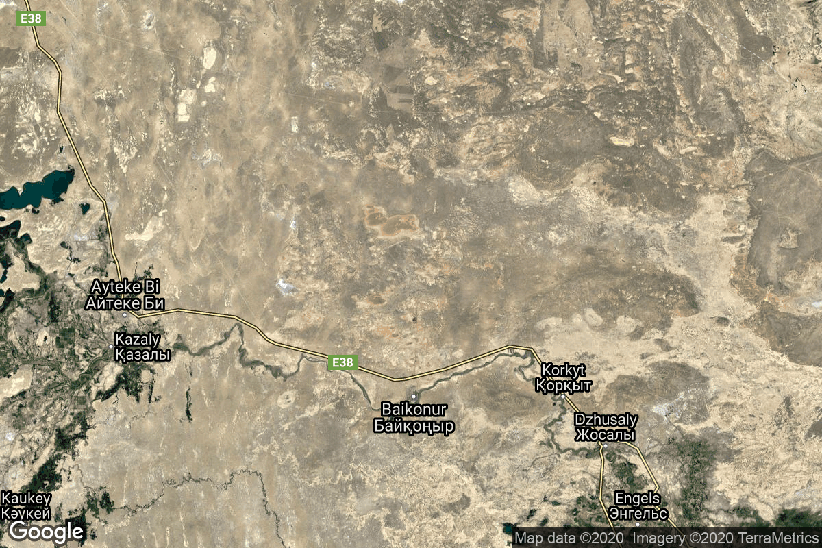
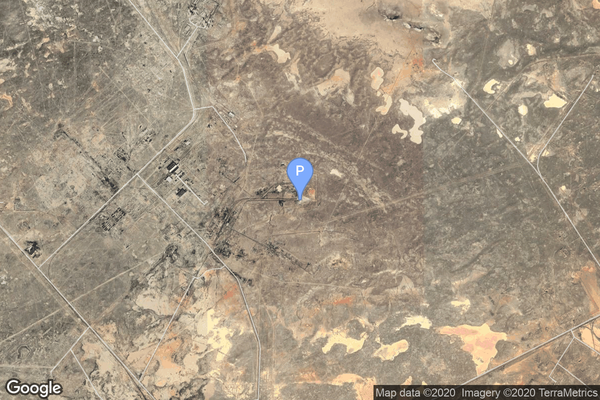
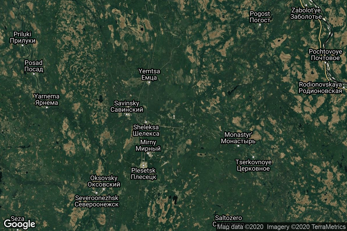
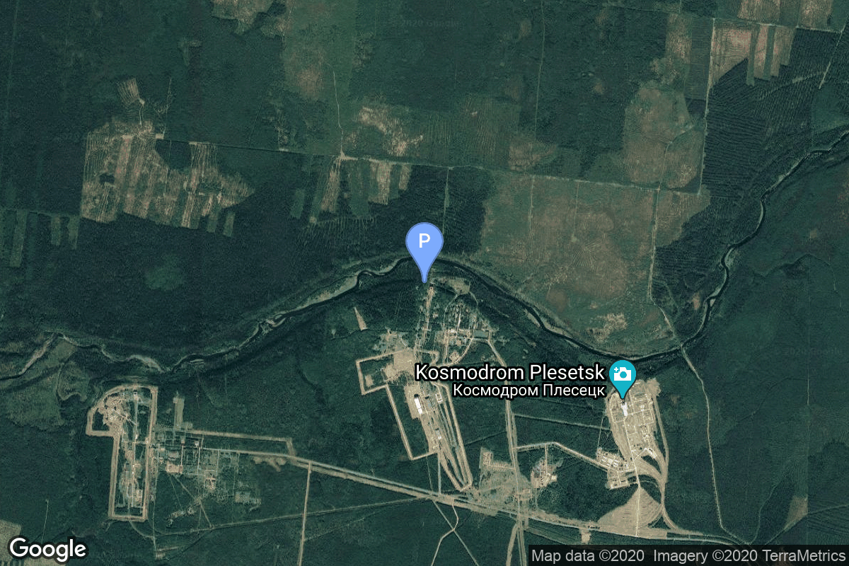
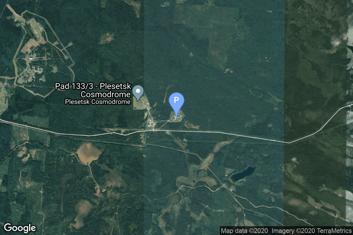
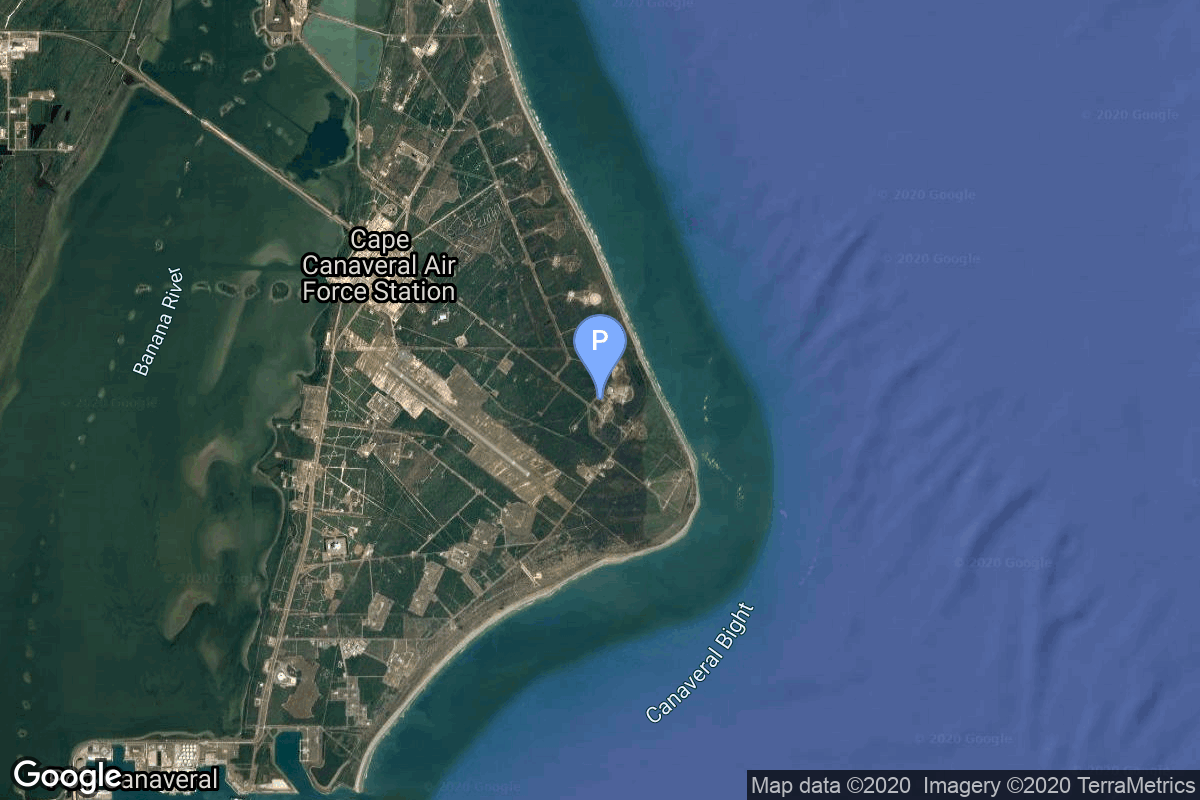
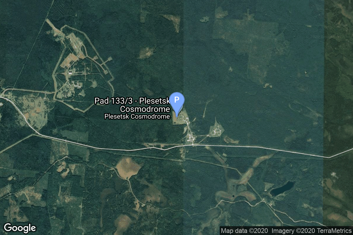
{ "count": 8136, "next": "https://lldev.thespacedevs.com/2.0.0/launch/?format=api&limit=10&offset=6590&ordering=-net", "previous": "https://lldev.thespacedevs.com/2.0.0/launch/?format=api&limit=10&offset=6570&ordering=-net", "results": [ { "id": "2b741e20-fee6-4598-9f3e-2142d38e6c17", "url": "https://lldev.thespacedevs.com/2.0.0/launch/2b741e20-fee6-4598-9f3e-2142d38e6c17/?format=api", "launch_library_id": null, "slug": "voskhod-zenit-2m-41", "name": "Voskhod | Zenit-2M 41", "status": { "id": 3, "name": "Success" }, "net": "1973-08-30T10:30:02Z", "window_end": "1973-08-30T10:30:02Z", "window_start": "1973-08-30T10:30:02Z", "inhold": false, "tbdtime": false, "tbddate": false, "probability": null, "holdreason": "", "failreason": null, "hashtag": null, "launch_service_provider": { "id": 66, "url": "https://lldev.thespacedevs.com/2.0.0/agencies/66/?format=api", "name": "Soviet Space Program", "type": "Government" }, "rocket": { "id": 4392, "configuration": { "id": 104, "launch_library_id": 138, "url": "https://lldev.thespacedevs.com/2.0.0/config/launcher/104/?format=api", "name": "Voskhod", "family": "R-7", "full_name": "Voskhod", "variant": "Voskhod" } }, "mission": { "id": 2810, "launch_library_id": null, "name": "Zenit-2M 41", "description": "The soviet Zenit-2M (Gektor, 11F690) was an improved version of the Zenit-2 area surveillance reconnaissance satellite. It was part of the Vostok-based Zenit-family.", "launch_designator": null, "type": "Government/Top Secret", "orbit": { "id": 8, "name": "Low Earth Orbit", "abbrev": "LEO" } }, "pad": { "id": 32, "url": "https://lldev.thespacedevs.com/2.0.0/pad/32/?format=api", "agency_id": null, "name": "1/5", "info_url": null, "wiki_url": "", "map_url": "https://www.google.com/maps?q=45.92,63.342", "latitude": "45.92", "longitude": "63.342", "location": { "id": 15, "url": "https://lldev.thespacedevs.com/2.0.0/location/15/?format=api", "name": "Baikonur Cosmodrome, Republic of Kazakhstan", "country_code": "KAZ", "map_image": "https://thespacedevs-dev.nyc3.digitaloceanspaces.com/media/map_images/location_15_20200803142517.jpg", "total_launch_count": 1565, "total_landing_count": 0 }, "map_image": "https://thespacedevs-dev.nyc3.digitaloceanspaces.com/media/map_images/pad_32_20200803143513.jpg", "total_launch_count": 487 }, "webcast_live": false, "image": "https://thespacedevs-dev.nyc3.digitaloceanspaces.com/media/images/voskhod_during__image_20251102062248.jpg", "infographic": null, "program": [] }, { "id": "5a85e0a2-2a58-4b9f-b8d9-60c025df392c", "url": "https://lldev.thespacedevs.com/2.0.0/launch/5a85e0a2-2a58-4b9f-b8d9-60c025df392c/?format=api", "launch_library_id": null, "slug": "molniya-m-molniya-1-24", "name": "Molniya-M | Molniya-1 24", "status": { "id": 3, "name": "Success" }, "net": "1973-08-30T00:07:59Z", "window_end": "1973-08-30T00:07:59Z", "window_start": "1973-08-30T00:07:59Z", "inhold": false, "tbdtime": false, "tbddate": false, "probability": null, "holdreason": "", "failreason": null, "hashtag": null, "launch_service_provider": { "id": 66, "url": "https://lldev.thespacedevs.com/2.0.0/agencies/66/?format=api", "name": "Soviet Space Program", "type": "Government" }, "rocket": { "id": 4391, "configuration": { "id": 106, "launch_library_id": 126, "url": "https://lldev.thespacedevs.com/2.0.0/config/launcher/106/?format=api", "name": "Molniya-M", "family": "R-7", "full_name": "Molniya-M 2BL", "variant": "2BL" } }, "mission": { "id": 2809, "launch_library_id": null, "name": "Molniya-1 24", "description": "The Molniya were Soviet communication satellites operating from an inclined highly elliptical earth orbit of 500 km × 40000 km with 12 hour period for coverage of high northern latitudes.", "launch_designator": null, "type": "Communications", "orbit": { "id": 0, "name": "Elliptical Orbit", "abbrev": "Elliptical" } }, "pad": { "id": 168, "url": "https://lldev.thespacedevs.com/2.0.0/pad/168/?format=api", "agency_id": null, "name": "41/1", "info_url": null, "wiki_url": "https://en.wikipedia.org/wiki/Plesetsk_Cosmodrome", "map_url": "https://www.google.com/maps?q=62.941,40.526806", "latitude": "62.941", "longitude": "40.526806", "location": { "id": 6, "url": "https://lldev.thespacedevs.com/2.0.0/location/6/?format=api", "name": "Plesetsk Cosmodrome, Russian Federation", "country_code": "RUS", "map_image": "https://thespacedevs-dev.nyc3.digitaloceanspaces.com/media/map_images/location_6_20200803142434.jpg", "total_launch_count": 1689, "total_landing_count": 0 }, "map_image": "https://thespacedevs-dev.nyc3.digitaloceanspaces.com/media/map_images/pad_168_20200803143446.jpg", "total_launch_count": 310 }, "webcast_live": false, "image": "https://thespacedevs-dev.nyc3.digitaloceanspaces.com/media/images/molniya_m_image_20251102061752.jpg", "infographic": null, "program": [] }, { "id": "62eb8ff7-c3c6-4892-8bac-34b707ed21bb", "url": "https://lldev.thespacedevs.com/2.0.0/launch/62eb8ff7-c3c6-4892-8bac-34b707ed21bb/?format=api", "launch_library_id": null, "slug": "kosmos-3m-tselina-o-20", "name": "Kosmos-3M | Tselina-O 20", "status": { "id": 3, "name": "Success" }, "net": "1973-08-28T10:08:29Z", "window_end": "1973-08-28T10:08:29Z", "window_start": "1973-08-28T10:08:29Z", "inhold": false, "tbdtime": false, "tbddate": false, "probability": null, "holdreason": "", "failreason": null, "hashtag": null, "launch_service_provider": { "id": 66, "url": "https://lldev.thespacedevs.com/2.0.0/agencies/66/?format=api", "name": "Soviet Space Program", "type": "Government" }, "rocket": { "id": 4390, "configuration": { "id": 102, "launch_library_id": 122, "url": "https://lldev.thespacedevs.com/2.0.0/config/launcher/102/?format=api", "name": "Kosmos-3M", "family": "Kosmos", "full_name": "Kosmos-3M (11K65M)", "variant": "-3M" } }, "mission": { "id": 2808, "launch_library_id": null, "name": "Tselina-O 20", "description": "The Tselina-O (11F616) was one component of two-satellite Tselina ELINT satellite system. Tselina-O provided general ELINT surveillance to be examined in detail by the larger Tselina-D satellites.", "launch_designator": null, "type": "Government/Top Secret", "orbit": { "id": 8, "name": "Low Earth Orbit", "abbrev": "LEO" } }, "pad": { "id": 167, "url": "https://lldev.thespacedevs.com/2.0.0/pad/167/?format=api", "agency_id": null, "name": "132/2", "info_url": null, "wiki_url": "https://en.wikipedia.org/wiki/Plesetsk_Cosmodrome", "map_url": "https://www.google.com/maps?q=62.883,40.869806", "latitude": "62.883", "longitude": "40.869806", "location": { "id": 6, "url": "https://lldev.thespacedevs.com/2.0.0/location/6/?format=api", "name": "Plesetsk Cosmodrome, Russian Federation", "country_code": "RUS", "map_image": "https://thespacedevs-dev.nyc3.digitaloceanspaces.com/media/map_images/location_6_20200803142434.jpg", "total_launch_count": 1689, "total_landing_count": 0 }, "map_image": "https://thespacedevs-dev.nyc3.digitaloceanspaces.com/media/map_images/pad_167_20200803143417.jpg", "total_launch_count": 172 }, "webcast_live": false, "image": "https://thespacedevs-dev.nyc3.digitaloceanspaces.com/media/images/kosmos-3m_durin_image_20251101171325.jpg", "infographic": null, "program": [] }, { "id": "4f7192ab-adcd-434a-9353-cec75557d8d5", "url": "https://lldev.thespacedevs.com/2.0.0/launch/4f7192ab-adcd-434a-9353-cec75557d8d5/?format=api", "launch_library_id": null, "slug": "voskhod-zenit-4m-54", "name": "Voskhod | Zenit-4M 54", "status": { "id": 3, "name": "Success" }, "net": "1973-08-24T10:59:55Z", "window_end": "1973-08-24T10:59:55Z", "window_start": "1973-08-24T10:59:55Z", "inhold": false, "tbdtime": false, "tbddate": false, "probability": null, "holdreason": "", "failreason": null, "hashtag": null, "launch_service_provider": { "id": 66, "url": "https://lldev.thespacedevs.com/2.0.0/agencies/66/?format=api", "name": "Soviet Space Program", "type": "Government" }, "rocket": { "id": 4389, "configuration": { "id": 104, "launch_library_id": 138, "url": "https://lldev.thespacedevs.com/2.0.0/config/launcher/104/?format=api", "name": "Voskhod", "family": "R-7", "full_name": "Voskhod", "variant": "Voskhod" } }, "mission": { "id": 2807, "launch_library_id": null, "name": "Zenit-4M 54", "description": "The soviet Zenit-4M (Rotor, 11F691) was an improved version of the Zenit-4 high resolution reconnaissance satellite and was part of the Vostok-based Zenit-family.", "launch_designator": null, "type": "Government/Top Secret", "orbit": { "id": 8, "name": "Low Earth Orbit", "abbrev": "LEO" } }, "pad": { "id": 32, "url": "https://lldev.thespacedevs.com/2.0.0/pad/32/?format=api", "agency_id": null, "name": "1/5", "info_url": null, "wiki_url": "", "map_url": "https://www.google.com/maps?q=45.92,63.342", "latitude": "45.92", "longitude": "63.342", "location": { "id": 15, "url": "https://lldev.thespacedevs.com/2.0.0/location/15/?format=api", "name": "Baikonur Cosmodrome, Republic of Kazakhstan", "country_code": "KAZ", "map_image": "https://thespacedevs-dev.nyc3.digitaloceanspaces.com/media/map_images/location_15_20200803142517.jpg", "total_launch_count": 1565, "total_landing_count": 0 }, "map_image": "https://thespacedevs-dev.nyc3.digitaloceanspaces.com/media/map_images/pad_32_20200803143513.jpg", "total_launch_count": 487 }, "webcast_live": false, "image": "https://thespacedevs-dev.nyc3.digitaloceanspaces.com/media/images/voskhod_during__image_20251102062248.jpg", "infographic": null, "program": [] }, { "id": "aa0704b2-0c1f-411b-83d3-6b4390ef9f96", "url": "https://lldev.thespacedevs.com/2.0.0/launch/aa0704b2-0c1f-411b-83d3-6b4390ef9f96/?format=api", "launch_library_id": null, "slug": "atlas-slv-3d-centaur-intelsat-iv-f7", "name": "Atlas SLV-3D Centaur | INTELSAT IV F7", "status": { "id": 3, "name": "Success" }, "net": "1973-08-23T22:57:02Z", "window_end": "1973-08-23T22:57:02Z", "window_start": "1973-08-23T22:57:02Z", "inhold": false, "tbdtime": false, "tbddate": false, "probability": null, "holdreason": "", "failreason": null, "hashtag": null, "launch_service_provider": { "id": 161, "url": "https://lldev.thespacedevs.com/2.0.0/agencies/161/?format=api", "name": "United States Air Force", "type": "Government" }, "rocket": { "id": 4388, "configuration": { "id": 261, "launch_library_id": null, "url": "https://lldev.thespacedevs.com/2.0.0/config/launcher/261/?format=api", "name": "Atlas SLV-3D Centaur", "family": "Atlas", "full_name": "Atlas SLV-3D Centaur", "variant": "SLV-3D Centaur" } }, "mission": { "id": 2806, "launch_library_id": null, "name": "INTELSAT IV F7", "description": "Geostationary communications satellite developed by Hughes Aircraft Company", "launch_designator": null, "type": "Communications", "orbit": { "id": 1, "name": "Geostationary Orbit", "abbrev": "Direct-GEO" } }, "pad": { "id": 121, "url": "https://lldev.thespacedevs.com/2.0.0/pad/121/?format=api", "agency_id": 161, "name": "Launch Complex 36A", "info_url": null, "wiki_url": "https://en.wikipedia.org/wiki/Cape_Canaveral_Launch_Complex_36", "map_url": "https://www.google.com/maps?q=28.4705556,-80.542194", "latitude": "28.4705556", "longitude": "-80.542194", "location": { "id": 12, "url": "https://lldev.thespacedevs.com/2.0.0/location/12/?format=api", "name": "Cape Canaveral SFS, FL, USA", "country_code": "USA", "map_image": "https://thespacedevs-dev.nyc3.digitaloceanspaces.com/media/map_images/location_12_20200803142519.jpg", "total_launch_count": 1132, "total_landing_count": 83 }, "map_image": "https://thespacedevs-dev.nyc3.digitaloceanspaces.com/media/map_images/pad_121_20200803143231.jpg", "total_launch_count": 71 }, "webcast_live": false, "image": "https://thespacedevs-dev.nyc3.digitaloceanspaces.com/media/images/atlas_slv-3d_li_image_20251103141732.jpeg", "infographic": null, "program": [] }, { "id": "5ef61859-52a1-4b2f-94e0-61286cd45dc5", "url": "https://lldev.thespacedevs.com/2.0.0/launch/5ef61859-52a1-4b2f-94e0-61286cd45dc5/?format=api", "launch_library_id": null, "slug": "kosmos-11k63-ds-p1-yu-64", "name": "Kosmos 11K63 | DS-P1-Yu 64", "status": { "id": 3, "name": "Success" }, "net": "1973-08-22T11:24:55Z", "window_end": "1973-08-22T11:24:55Z", "window_start": "1973-08-22T11:24:55Z", "inhold": false, "tbdtime": false, "tbddate": false, "probability": null, "holdreason": "", "failreason": null, "hashtag": null, "launch_service_provider": { "id": 66, "url": "https://lldev.thespacedevs.com/2.0.0/agencies/66/?format=api", "name": "Soviet Space Program", "type": "Government" }, "rocket": { "id": 4387, "configuration": { "id": 327, "launch_library_id": null, "url": "https://lldev.thespacedevs.com/2.0.0/config/launcher/327/?format=api", "name": "Kosmos 11K63", "family": "Kosmos", "full_name": "Kosmos 11K63", "variant": "11K63" } }, "mission": { "id": 2805, "launch_library_id": null, "name": "DS-P1-Yu 64", "description": "The DS-P1-Yu series of satellites was used to calibrate space surveillance and early warning radars.", "launch_designator": null, "type": "Test Target", "orbit": { "id": 8, "name": "Low Earth Orbit", "abbrev": "LEO" } }, "pad": { "id": 3, "url": "https://lldev.thespacedevs.com/2.0.0/pad/3/?format=api", "agency_id": 163, "name": "133/3 (133L)", "info_url": null, "wiki_url": "", "map_url": "https://www.google.com/maps?q=62.886999,40.846984", "latitude": "62.886999", "longitude": "40.846984", "location": { "id": 6, "url": "https://lldev.thespacedevs.com/2.0.0/location/6/?format=api", "name": "Plesetsk Cosmodrome, Russian Federation", "country_code": "RUS", "map_image": "https://thespacedevs-dev.nyc3.digitaloceanspaces.com/media/map_images/location_6_20200803142434.jpg", "total_launch_count": 1689, "total_landing_count": 0 }, "map_image": "https://thespacedevs-dev.nyc3.digitaloceanspaces.com/media/map_images/pad_3_20200803143438.jpg", "total_launch_count": 159 }, "webcast_live": false, "image": "https://thespacedevs-dev.nyc3.digitaloceanspaces.com/media/images/kosmos_11k63_image_20251104091702.jpg", "infographic": null, "program": [] }, { "id": "60e062bd-018e-4401-8e4b-e416cba5460b", "url": "https://lldev.thespacedevs.com/2.0.0/launch/60e062bd-018e-4401-8e4b-e416cba5460b/?format=api", "launch_library_id": null, "slug": "titan-33b-jumpseat-3", "name": "Titan 33B | Jumpseat 3", "status": { "id": 3, "name": "Success" }, "net": "1973-08-21T16:07:00Z", "window_end": "1973-08-21T16:07:00Z", "window_start": "1973-08-21T16:07:00Z", "inhold": false, "tbdtime": false, "tbddate": false, "probability": null, "holdreason": "", "failreason": null, "hashtag": null, "launch_service_provider": { "id": 161, "url": "https://lldev.thespacedevs.com/2.0.0/agencies/161/?format=api", "name": "United States Air Force", "type": "Government" }, "rocket": { "id": 4386, "configuration": { "id": 422, "launch_library_id": null, "url": "https://lldev.thespacedevs.com/2.0.0/config/launcher/422/?format=api", "name": "Titan 33B", "family": "Titan", "full_name": "Titan 33B", "variant": "33B" } }, "mission": { "id": 2804, "launch_library_id": null, "name": "Jumpseat 3", "description": "Signal intelligence satellite operating from highly elliptic Molniya-type orbits.", "launch_designator": null, "type": "Government/Top Secret", "orbit": { "id": 0, "name": "Elliptical Orbit", "abbrev": "Elliptical" } }, "pad": { "id": 156, "url": "https://lldev.thespacedevs.com/2.0.0/pad/156/?format=api", "agency_id": null, "name": "Space Launch Complex 4W", "info_url": "https://www.astronautix.com/v/vandenbergslc4w.html", "wiki_url": "https://en.wikipedia.org/wiki/Vandenberg_Air_Force_Base_Space_Launch_Complex_4#SLC-4W", "map_url": "https://www.google.com/maps?q=34.63312,-120.61584", "latitude": "34.63312", "longitude": "-120.61584", "location": { "id": 11, "url": "https://lldev.thespacedevs.com/2.0.0/location/11/?format=api", "name": "Vandenberg SFB, CA, USA", "country_code": "USA", "map_image": "https://thespacedevs-dev.nyc3.digitaloceanspaces.com/media/map_images/location_11_20200803142416.jpg", "total_launch_count": 924, "total_landing_count": 37 }, "map_image": "https://thespacedevs-dev.nyc3.digitaloceanspaces.com/media/map_images/pad_156_20200803143351.jpg", "total_launch_count": 93 }, "webcast_live": false, "image": null, "infographic": null, "program": [] }, { "id": "2d1696bc-877b-4ea2-bc3d-6f46a127b0d1", "url": "https://lldev.thespacedevs.com/2.0.0/launch/2d1696bc-877b-4ea2-bc3d-6f46a127b0d1/?format=api", "launch_library_id": null, "slug": "voskhod-zenit-4m-53", "name": "Voskhod | Zenit-4M 53", "status": { "id": 3, "name": "Success" }, "net": "1973-08-21T12:30:01Z", "window_end": "1973-08-21T12:30:01Z", "window_start": "1973-08-21T12:30:01Z", "inhold": false, "tbdtime": false, "tbddate": false, "probability": null, "holdreason": "", "failreason": null, "hashtag": null, "launch_service_provider": { "id": 66, "url": "https://lldev.thespacedevs.com/2.0.0/agencies/66/?format=api", "name": "Soviet Space Program", "type": "Government" }, "rocket": { "id": 4385, "configuration": { "id": 104, "launch_library_id": 138, "url": "https://lldev.thespacedevs.com/2.0.0/config/launcher/104/?format=api", "name": "Voskhod", "family": "R-7", "full_name": "Voskhod", "variant": "Voskhod" } }, "mission": { "id": 2803, "launch_library_id": null, "name": "Zenit-4M 53", "description": "The soviet Zenit-4M (Rotor, 11F691) was an improved version of the Zenit-4 high resolution reconnaissance satellite and was part of the Vostok-based Zenit-family.", "launch_designator": null, "type": "Government/Top Secret", "orbit": { "id": 8, "name": "Low Earth Orbit", "abbrev": "LEO" } }, "pad": { "id": 168, "url": "https://lldev.thespacedevs.com/2.0.0/pad/168/?format=api", "agency_id": null, "name": "41/1", "info_url": null, "wiki_url": "https://en.wikipedia.org/wiki/Plesetsk_Cosmodrome", "map_url": "https://www.google.com/maps?q=62.941,40.526806", "latitude": "62.941", "longitude": "40.526806", "location": { "id": 6, "url": "https://lldev.thespacedevs.com/2.0.0/location/6/?format=api", "name": "Plesetsk Cosmodrome, Russian Federation", "country_code": "RUS", "map_image": "https://thespacedevs-dev.nyc3.digitaloceanspaces.com/media/map_images/location_6_20200803142434.jpg", "total_launch_count": 1689, "total_landing_count": 0 }, "map_image": "https://thespacedevs-dev.nyc3.digitaloceanspaces.com/media/map_images/pad_168_20200803143446.jpg", "total_launch_count": 310 }, "webcast_live": false, "image": "https://thespacedevs-dev.nyc3.digitaloceanspaces.com/media/images/voskhod_during__image_20251102062248.jpg", "infographic": null, "program": [] }, { "id": "4b1496a3-1b02-4752-afb0-81768e786334", "url": "https://lldev.thespacedevs.com/2.0.0/launch/4b1496a3-1b02-4752-afb0-81768e786334/?format=api", "launch_library_id": null, "slug": "thor-burner-2a-dmsp-5b-f4", "name": "Thor Burner 2A | DMSP-5B F4", "status": { "id": 3, "name": "Success" }, "net": "1973-08-17T04:49:12Z", "window_end": "1973-08-17T04:49:12Z", "window_start": "1973-08-17T04:49:12Z", "inhold": false, "tbdtime": false, "tbddate": false, "probability": null, "holdreason": "", "failreason": null, "hashtag": null, "launch_service_provider": { "id": 161, "url": "https://lldev.thespacedevs.com/2.0.0/agencies/161/?format=api", "name": "United States Air Force", "type": "Government" }, "rocket": { "id": 4384, "configuration": { "id": 396, "launch_library_id": null, "url": "https://lldev.thespacedevs.com/2.0.0/config/launcher/396/?format=api", "name": "Thor Burner 2A", "family": "Thor", "full_name": "Thor Burner 2A", "variant": "Burner 2A" } }, "mission": { "id": 2802, "launch_library_id": null, "name": "DMSP-5B F4", "description": "Military meteorological satellite", "launch_designator": null, "type": "Government/Top Secret", "orbit": { "id": 17, "name": "Sun-Synchronous Orbit", "abbrev": "SSO" } }, "pad": { "id": 171, "url": "https://lldev.thespacedevs.com/2.0.0/pad/171/?format=api", "agency_id": null, "name": "Space Launch Complex 10W", "info_url": null, "wiki_url": "https://en.wikipedia.org/wiki/Vandenberg_Air_Force_Base_Space_Launch_Complex_10", "map_url": "https://www.google.com/maps?q=34.7652778,-120.6244162", "latitude": "34.7652778", "longitude": "-120.6244162", "location": { "id": 11, "url": "https://lldev.thespacedevs.com/2.0.0/location/11/?format=api", "name": "Vandenberg SFB, CA, USA", "country_code": "USA", "map_image": "https://thespacedevs-dev.nyc3.digitaloceanspaces.com/media/map_images/location_11_20200803142416.jpg", "total_launch_count": 924, "total_landing_count": 37 }, "map_image": "https://thespacedevs-dev.nyc3.digitaloceanspaces.com/media/map_images/pad_171_20200803143449.jpg", "total_launch_count": 31 }, "webcast_live": false, "image": "https://thespacedevs-dev.nyc3.digitaloceanspaces.com/media/images/thor-lv2f_burne_image_20251109071855.png", "infographic": null, "program": [] }, { "id": "2a435650-0d8d-4460-a95b-866c3c55164b", "url": "https://lldev.thespacedevs.com/2.0.0/launch/2a435650-0d8d-4460-a95b-866c3c55164b/?format=api", "launch_library_id": null, "slug": "proton-mars-7", "name": "Proton | Mars-7", "status": { "id": 3, "name": "Success" }, "net": "1973-08-09T17:00:17Z", "window_end": "1973-08-09T17:00:17Z", "window_start": "1973-08-09T17:00:17Z", "inhold": false, "tbdtime": false, "tbddate": false, "probability": null, "holdreason": "", "failreason": null, "hashtag": null, "launch_service_provider": { "id": 66, "url": "https://lldev.thespacedevs.com/2.0.0/agencies/66/?format=api", "name": "Soviet Space Program", "type": "Government" }, "rocket": { "id": 4383, "configuration": { "id": 191, "launch_library_id": 220, "url": "https://lldev.thespacedevs.com/2.0.0/config/launcher/191/?format=api", "name": "Proton", "family": "Proton / UR-500", "full_name": "Proton / UR-500 K/D", "variant": "K/D" } }, "mission": { "id": 2801, "launch_library_id": null, "name": "Mars-7", "description": "Mars fly-by and lander mission", "launch_designator": null, "type": "Robotic Exploration", "orbit": { "id": 23, "name": "Mars flyby", "abbrev": "Mars flyby" } }, "pad": { "id": 7, "url": "https://lldev.thespacedevs.com/2.0.0/pad/7/?format=api", "agency_id": null, "name": "81/24 (81P)", "info_url": null, "wiki_url": "", "map_url": "https://www.google.com/maps?q=46.071001,62.984999", "latitude": "46.071001", "longitude": "62.984999", "location": { "id": 15, "url": "https://lldev.thespacedevs.com/2.0.0/location/15/?format=api", "name": "Baikonur Cosmodrome, Republic of Kazakhstan", "country_code": "KAZ", "map_image": "https://thespacedevs-dev.nyc3.digitaloceanspaces.com/media/map_images/location_15_20200803142517.jpg", "total_launch_count": 1565, "total_landing_count": 0 }, "map_image": "https://thespacedevs-dev.nyc3.digitaloceanspaces.com/media/map_images/pad_7_20200803143454.jpg", "total_launch_count": 93 }, "webcast_live": false, "image": "https://thespacedevs-dev.nyc3.digitaloceanspaces.com/media/images/proton_image_20231231095535.jpg", "infographic": null, "program": [] } ] }