Launch List
API endpoint that returns all Launch objects or a single launch.
EXAMPLE - /launch/
GET: Return a list of all Launch objects.
FILTERS: Fields - 'name', 'id(s)', 'lsp_id', 'lsp_name', 'serial_number', 'launcher_config__id', 'rocket__spacecraftflight__spacecraft__name'
MODE: 'normal', 'list', 'detailed' EXAMPLE: ?mode=list
SEARCH: Searches through the launch name, rocket name, launch agency, mission name & spacecraft name. EXAMPLE - ?search=SpaceX
GET /2.0.0/launch/?format=api&offset=6540&ordering=id
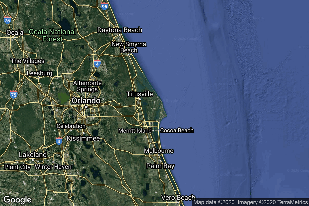
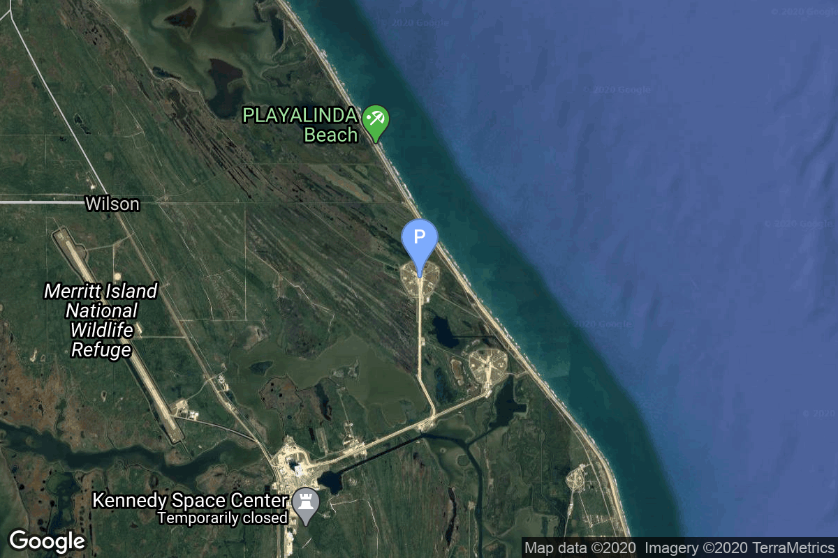
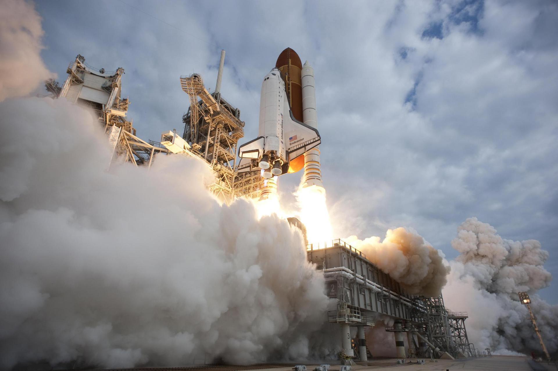
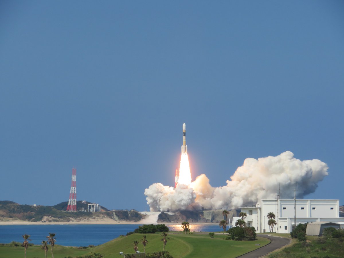
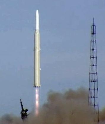
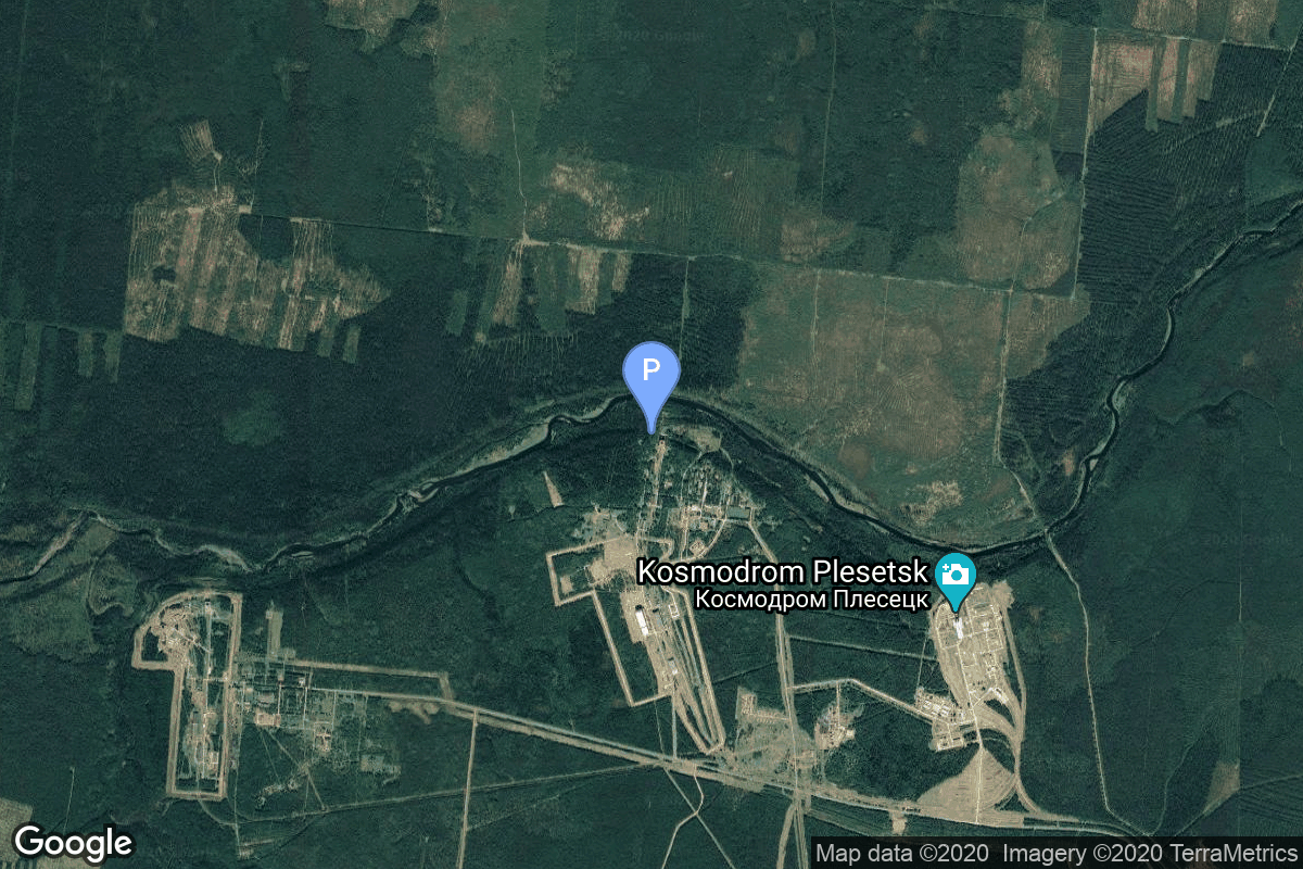
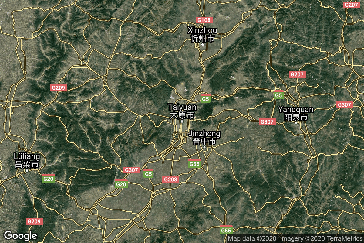
{ "count": 8136, "next": "https://lldev.thespacedevs.com/2.0.0/launch/?format=api&limit=10&offset=6550&ordering=id", "previous": "https://lldev.thespacedevs.com/2.0.0/launch/?format=api&limit=10&offset=6530&ordering=id", "results": [ { "id": "cd3bd90a-cb0a-4786-abcf-4d2d4eba005b", "url": "https://lldev.thespacedevs.com/2.0.0/launch/cd3bd90a-cb0a-4786-abcf-4d2d4eba005b/?format=api", "launch_library_id": 464, "slug": "space-shuttle-discovery-ov-103-sts-121", "name": "Space Shuttle Discovery / OV-103 | STS-121", "status": { "id": 3, "name": "Success" }, "net": "2006-07-04T18:37:55Z", "window_end": "2006-07-04T18:37:55Z", "window_start": "2006-07-04T18:37:55Z", "inhold": false, "tbdtime": false, "tbddate": false, "probability": null, "holdreason": "", "failreason": null, "hashtag": null, "launch_service_provider": { "id": 191, "url": "https://lldev.thespacedevs.com/2.0.0/agencies/191/?format=api", "name": "United Space Alliance", "type": "Commercial" }, "rocket": { "id": 523, "configuration": { "id": 493, "launch_library_id": null, "url": "https://lldev.thespacedevs.com/2.0.0/config/launcher/493/?format=api", "name": "Space Shuttle", "family": "", "full_name": "Space Shuttle", "variant": "" } }, "mission": { "id": 877, "launch_library_id": 1011, "name": "STS-121", "description": "STS-121 was a 2006 NASA Space Shuttle mission to the International Space Station (ISS) flown by Space Shuttle Discovery. The main purposes of the mission were to test new safety and repair techniques introduced following the Columbia disaster of February 2003 as well as to deliver supplies, equipment and European Space Agency (ESA) astronaut Thomas Reiter from Germany to the ISS.", "launch_designator": null, "type": "Human Exploration", "orbit": { "id": 8, "name": "Low Earth Orbit", "abbrev": "LEO" } }, "pad": { "id": 4, "url": "https://lldev.thespacedevs.com/2.0.0/pad/4/?format=api", "agency_id": 44, "name": "Launch Complex 39B", "info_url": null, "wiki_url": "https://en.wikipedia.org/wiki/Kennedy_Space_Center_Launch_Complex_39#Launch_Pad_39B", "map_url": "https://www.google.com/maps?q=28.62711233,-80.62101503", "latitude": "28.62711233", "longitude": "-80.62101503", "location": { "id": 27, "url": "https://lldev.thespacedevs.com/2.0.0/location/27/?format=api", "name": "Kennedy Space Center, FL, USA", "country_code": "USA", "map_image": "https://thespacedevs-dev.nyc3.digitaloceanspaces.com/media/map_images/location_27_20200803142447.jpg", "total_launch_count": 283, "total_landing_count": 0 }, "map_image": "https://thespacedevs-dev.nyc3.digitaloceanspaces.com/media/map_images/pad_4_20200803143518.jpg", "total_launch_count": 59 }, "webcast_live": false, "image": "https://thespacedevs-dev.nyc3.digitaloceanspaces.com/media/images/space_shuttle_image_20230422074810.jpeg", "infographic": null, "program": [ { "id": 6, "url": "https://lldev.thespacedevs.com/2.0.0/program/6/?format=api", "name": "Space Shuttle", "description": "The Space Shuttle program was the fourth human spaceflight program carried out by the National Aeronautics and Space Administration (NASA), which accomplished routine transportation for Earth-to-orbit crew and cargo from 1981 to 2011.", "agencies": [ { "id": 44, "url": "https://lldev.thespacedevs.com/2.0.0/agencies/44/?format=api", "name": "National Aeronautics and Space Administration", "type": "Government" } ], "image_url": "https://thespacedevs-dev.nyc3.digitaloceanspaces.com/media/images/space2520shutt_program_20200820202237.png", "start_date": "1981-04-12T12:00:03Z", "end_date": "2011-07-08T15:29:00Z", "info_url": "https://www.nasa.gov/mission_pages/shuttle/main/index.html", "wiki_url": "https://en.wikipedia.org/wiki/Space_Shuttle_program" }, { "id": 17, "url": "https://lldev.thespacedevs.com/2.0.0/program/17/?format=api", "name": "International Space Station", "description": "The International Space Station programme is tied together by a complex set of legal, political and financial agreements between the sixteen nations involved in the project, governing ownership of the various components, rights to crewing and utilization, and responsibilities for crew rotation and resupply of the International Space Station. It was conceived in 1984 by President Ronald Reagan, during the Space Station Freedom project as it was originally called.", "agencies": [ { "id": 16, "url": "https://lldev.thespacedevs.com/2.0.0/agencies/16/?format=api", "name": "Canadian Space Agency", "type": "Government" }, { "id": 27, "url": "https://lldev.thespacedevs.com/2.0.0/agencies/27/?format=api", "name": "European Space Agency", "type": "Multinational" }, { "id": 37, "url": "https://lldev.thespacedevs.com/2.0.0/agencies/37/?format=api", "name": "Japan Aerospace Exploration Agency", "type": "Government" }, { "id": 44, "url": "https://lldev.thespacedevs.com/2.0.0/agencies/44/?format=api", "name": "National Aeronautics and Space Administration", "type": "Government" }, { "id": 63, "url": "https://lldev.thespacedevs.com/2.0.0/agencies/63/?format=api", "name": "Russian Federal Space Agency (ROSCOSMOS)", "type": "Government" } ], "image_url": "https://thespacedevs-dev.nyc3.digitaloceanspaces.com/media/images/international2_program_20201129184745.png", "start_date": "1998-11-20T06:40:00Z", "end_date": null, "info_url": "https://www.nasa.gov/mission_pages/station/main/index.html", "wiki_url": "https://en.wikipedia.org/wiki/International_Space_Station_programme" } ] }, { "id": "cd4bb934-0652-4425-9a5c-bbe5e467ade4", "url": "https://lldev.thespacedevs.com/2.0.0/launch/cd4bb934-0652-4425-9a5c-bbe5e467ade4/?format=api", "launch_library_id": null, "slug": "kairos-flight-3", "name": "KAIROS | Flight 3", "status": { "id": 4, "name": "Failure" }, "net": "2026-03-05T02:10:00Z", "window_end": "2026-03-05T02:20:00Z", "window_start": "2026-03-05T02:10:00Z", "inhold": false, "tbdtime": false, "tbddate": false, "probability": null, "holdreason": "", "failreason": "AFTS activated at T+68.8 seconds, cause under investigation with possibility of mis-activation.", "hashtag": null, "launch_service_provider": { "id": 1083, "url": "https://lldev.thespacedevs.com/2.0.0/agencies/1083/?format=api", "name": "Space One", "type": "Commercial" }, "rocket": { "id": 8852, "configuration": { "id": 507, "launch_library_id": null, "url": "https://lldev.thespacedevs.com/2.0.0/config/launcher/507/?format=api", "name": "KAIROS", "family": "", "full_name": "Kii-based Advanced & Instant ROcket System", "variant": "" } }, "mission": { "id": 7443, "launch_library_id": null, "name": "Flight 3", "description": "Third flight of the KAIROS launch vehicle. \r\n\r\n5 satellites will be on board:\r\n\r\n* TATARA-1R\r\n* SC-Sat1a\r\n* HErO\r\n* AETS-1\r\n* Nutsat-3 (TASA/Taiwan)", "launch_designator": null, "type": "Test Flight", "orbit": { "id": 17, "name": "Sun-Synchronous Orbit", "abbrev": "SSO" } }, "pad": { "id": 220, "url": "https://lldev.thespacedevs.com/2.0.0/pad/220/?format=api", "agency_id": null, "name": "Space One Launch Pad", "info_url": "https://www.space-one.co.jp/", "wiki_url": null, "map_url": null, "latitude": "33.544224", "longitude": "135.889502", "location": { "id": 166, "url": "https://lldev.thespacedevs.com/2.0.0/location/166/?format=api", "name": "Spaceport Kii, Japan", "country_code": "JPN", "map_image": "https://thespacedevs-dev.nyc3.digitaloceanspaces.com/media/map_images/location_space_port_kii252c_japan_20240126073749.jpg", "total_launch_count": 3, "total_landing_count": 0 }, "map_image": "https://thespacedevs-dev.nyc3.digitaloceanspaces.com/media/map_images/pad_space_one_launch_pad_20240126074332.jpg", "total_launch_count": 3 }, "webcast_live": false, "image": "https://thespacedevs-dev.nyc3.digitaloceanspaces.com/media/images/kairos_image_20240216144656.jpeg", "infographic": null, "program": [] }, { "id": "cd52c344-ef94-4e23-b8e6-0b66e4f89031", "url": "https://lldev.thespacedevs.com/2.0.0/launch/cd52c344-ef94-4e23-b8e6-0b66e4f89031/?format=api", "launch_library_id": null, "slug": "thor-delta-m-intelsat-iii-f-5", "name": "Thor Delta M | INTELSAT III F-5", "status": { "id": 4, "name": "Failure" }, "net": "1969-07-26T02:06:00Z", "window_end": "1969-07-26T02:06:00Z", "window_start": "1969-07-26T02:06:00Z", "inhold": false, "tbdtime": false, "tbddate": false, "probability": null, "holdreason": "", "failreason": null, "hashtag": null, "launch_service_provider": { "id": 161, "url": "https://lldev.thespacedevs.com/2.0.0/agencies/161/?format=api", "name": "United States Air Force", "type": "Government" }, "rocket": { "id": 3927, "configuration": { "id": 409, "launch_library_id": null, "url": "https://lldev.thespacedevs.com/2.0.0/config/launcher/409/?format=api", "name": "Thor Delta M", "family": "Thor", "full_name": "Thor Delta M", "variant": "Delta M" } }, "mission": { "id": 2345, "launch_library_id": null, "name": "INTELSAT III F-5", "description": "The Intelsat 3 spacecraft were used to relay commercial global telecommunications including live TV. Three of the 8 satellites in the series (F1, F5, F8) were unusable due to launch vehicle failures, and most of the remainder did not achieve their desired lifetimes.", "launch_designator": null, "type": "Communications", "orbit": { "id": 1, "name": "Geostationary Orbit", "abbrev": "Direct-GEO" } }, "pad": { "id": 14, "url": "https://lldev.thespacedevs.com/2.0.0/pad/14/?format=api", "agency_id": null, "name": "Space Launch Complex 17A", "info_url": null, "wiki_url": "https://en.wikipedia.org/wiki/Cape_Canaveral_Space_Launch_Complex_17", "map_url": "https://www.google.com/maps?q=28.4472,-80.565", "latitude": "28.4472", "longitude": "-80.565", "location": { "id": 12, "url": "https://lldev.thespacedevs.com/2.0.0/location/12/?format=api", "name": "Cape Canaveral SFS, FL, USA", "country_code": "USA", "map_image": "https://thespacedevs-dev.nyc3.digitaloceanspaces.com/media/map_images/location_12_20200803142519.jpg", "total_launch_count": 1132, "total_landing_count": 83 }, "map_image": "https://thespacedevs-dev.nyc3.digitaloceanspaces.com/media/map_images/pad_14_20200803143451.jpg", "total_launch_count": 145 }, "webcast_live": false, "image": "https://thespacedevs-dev.nyc3.digitaloceanspaces.com/media/images/thor_delta_m_image_20251122093853.jpg", "infographic": null, "program": [] }, { "id": "cd568707-8069-447b-8420-db5df520f6db", "url": "https://lldev.thespacedevs.com/2.0.0/launch/cd568707-8069-447b-8420-db5df520f6db/?format=api", "launch_library_id": null, "slug": "kosmos-3m-zaliv-17", "name": "Kosmos-3M | Zaliv 17", "status": { "id": 3, "name": "Success" }, "net": "1974-06-27T15:39:50Z", "window_end": "1974-06-27T15:39:50Z", "window_start": "1974-06-27T15:39:50Z", "inhold": false, "tbdtime": false, "tbddate": false, "probability": null, "holdreason": "", "failreason": null, "hashtag": null, "launch_service_provider": { "id": 66, "url": "https://lldev.thespacedevs.com/2.0.0/agencies/66/?format=api", "name": "Soviet Space Program", "type": "Government" }, "rocket": { "id": 4484, "configuration": { "id": 102, "launch_library_id": 122, "url": "https://lldev.thespacedevs.com/2.0.0/config/launcher/102/?format=api", "name": "Kosmos-3M", "family": "Kosmos", "full_name": "Kosmos-3M (11K65M)", "variant": "-3M" } }, "mission": { "id": 2902, "launch_library_id": null, "name": "Zaliv 17", "description": "The first soviet navigation system called Tsiklon consisted of Zaliv satellites in low earth orbit.", "launch_designator": null, "type": "Navigation", "orbit": { "id": 8, "name": "Low Earth Orbit", "abbrev": "LEO" } }, "pad": { "id": 28, "url": "https://lldev.thespacedevs.com/2.0.0/pad/28/?format=api", "agency_id": 163, "name": "132/1 (132L)", "info_url": null, "wiki_url": "", "map_url": "https://www.google.com/maps?q=62.883229,40.868549", "latitude": "62.883229", "longitude": "40.868549", "location": { "id": 6, "url": "https://lldev.thespacedevs.com/2.0.0/location/6/?format=api", "name": "Plesetsk Cosmodrome, Russian Federation", "country_code": "RUS", "map_image": "https://thespacedevs-dev.nyc3.digitaloceanspaces.com/media/map_images/location_6_20200803142434.jpg", "total_launch_count": 1689, "total_landing_count": 0 }, "map_image": "https://thespacedevs-dev.nyc3.digitaloceanspaces.com/media/map_images/pad_28_20200803143254.jpg", "total_launch_count": 212 }, "webcast_live": false, "image": "https://thespacedevs-dev.nyc3.digitaloceanspaces.com/media/images/kosmos-3m_durin_image_20251101171325.jpg", "infographic": null, "program": [] }, { "id": "cd5e1547-d8c5-4cab-bb0b-f8eebd2b7993", "url": "https://lldev.thespacedevs.com/2.0.0/launch/cd5e1547-d8c5-4cab-bb0b-f8eebd2b7993/?format=api", "launch_library_id": null, "slug": "soyuz-u-zenit-6u-63", "name": "Soyuz U | Zenit-6U 63", "status": { "id": 3, "name": "Success" }, "net": "1982-07-27T12:30:00Z", "window_end": "1982-07-27T12:30:00Z", "window_start": "1982-07-27T12:30:00Z", "inhold": false, "tbdtime": false, "tbddate": false, "probability": null, "holdreason": "", "failreason": null, "hashtag": null, "launch_service_provider": { "id": 66, "url": "https://lldev.thespacedevs.com/2.0.0/agencies/66/?format=api", "name": "Soviet Space Program", "type": "Government" }, "rocket": { "id": 5427, "configuration": { "id": 37, "launch_library_id": 35, "url": "https://lldev.thespacedevs.com/2.0.0/config/launcher/37/?format=api", "name": "Soyuz U", "family": "Soyuz", "full_name": "Soyuz U", "variant": "" } }, "mission": { "id": 3833, "launch_library_id": null, "name": "Zenit-6U 63", "description": "Optical film-return reconnaissance satellite", "launch_designator": null, "type": "Government/Top Secret", "orbit": { "id": 8, "name": "Low Earth Orbit", "abbrev": "LEO" } }, "pad": { "id": 35, "url": "https://lldev.thespacedevs.com/2.0.0/pad/35/?format=api", "agency_id": 163, "name": "16/2", "info_url": null, "wiki_url": "", "map_url": "https://www.google.com/maps?q=62.960091,40.682983", "latitude": "62.960091", "longitude": "40.682983", "location": { "id": 6, "url": "https://lldev.thespacedevs.com/2.0.0/location/6/?format=api", "name": "Plesetsk Cosmodrome, Russian Federation", "country_code": "RUS", "map_image": "https://thespacedevs-dev.nyc3.digitaloceanspaces.com/media/map_images/location_6_20200803142434.jpg", "total_launch_count": 1689, "total_landing_count": 0 }, "map_image": "https://thespacedevs-dev.nyc3.digitaloceanspaces.com/media/map_images/pad_35_20200803143306.jpg", "total_launch_count": 136 }, "webcast_live": false, "image": "https://thespacedevs-dev.nyc3.digitaloceanspaces.com/media/images/soyuz2520u_image_20190222031023.jpeg", "infographic": null, "program": [] }, { "id": "cd66cc77-f993-4a9d-ad42-fd164b20a35a", "url": "https://lldev.thespacedevs.com/2.0.0/launch/cd66cc77-f993-4a9d-ad42-fd164b20a35a/?format=api", "launch_library_id": 1346, "slug": "h-iia-204-michibiki-3-qzs-3", "name": "H-IIA 204 | Michibiki 3 (QZS-3)", "status": { "id": 3, "name": "Success" }, "net": "2017-08-19T05:29:00Z", "window_end": "2017-08-19T13:16:00Z", "window_start": "2017-08-19T05:29:00Z", "inhold": false, "tbdtime": false, "tbddate": false, "probability": null, "holdreason": "", "failreason": "", "hashtag": null, "launch_service_provider": { "id": 98, "url": "https://lldev.thespacedevs.com/2.0.0/agencies/98/?format=api", "name": "Mitsubishi Heavy Industries", "type": "Commercial" }, "rocket": { "id": 2023, "configuration": { "id": 48, "launch_library_id": 67, "url": "https://lldev.thespacedevs.com/2.0.0/config/launcher/48/?format=api", "name": "H-IIA", "family": "H-II", "full_name": "H-IIA 204", "variant": "204" } }, "mission": { "id": 446, "launch_library_id": 583, "name": "Michibiki 3 (QZS-3)", "description": "The Quasi-Zenith Satellite System (QZSS) is a three-satellite regional time transfer system and the satellite-based augmentation system for the GPS that would be receivable within Japan. The primary purpose of QZSS is to increase the availability of GPS in Japan's numerous urban canyons, where only satellites at very high elevation can be seen. A secondary function is performance enhancement, increasing the accuracy and reliability of GPS derived navigation solutions. A single satellite weighs about 4000 kg, has an expected lifetime of 15 years and is put in a elliptical, highly inclined geosynchronous orbit.", "launch_designator": null, "type": "Navigation", "orbit": { "id": 2, "name": "Geostationary Transfer Orbit", "abbrev": "GTO" } }, "pad": { "id": 41, "url": "https://lldev.thespacedevs.com/2.0.0/pad/41/?format=api", "agency_id": 37, "name": "Yoshinobu Launch Complex LP-1", "info_url": null, "wiki_url": "https://en.wikipedia.org/wiki/Yoshinobu_Launch_Complex", "map_url": "https://www.google.com/maps?q=30.400813,130.977748", "latitude": "30.400813", "longitude": "130.977748", "location": { "id": 26, "url": "https://lldev.thespacedevs.com/2.0.0/location/26/?format=api", "name": "Tanegashima Space Center, Japan", "country_code": "JPN", "map_image": "https://thespacedevs-dev.nyc3.digitaloceanspaces.com/media/map_images/location_26_20200803142507.jpg", "total_launch_count": 100, "total_landing_count": 0 }, "map_image": "https://thespacedevs-dev.nyc3.digitaloceanspaces.com/media/map_images/pad_41_20200803143551.jpg", "total_launch_count": 57 }, "webcast_live": false, "image": "https://thespacedevs-dev.nyc3.digitaloceanspaces.com/media/images/h-iia_204_lifto_image_20240325124231.jpg", "infographic": null, "program": [] }, { "id": "cd67a62f-5229-4f2f-a488-81faeadcac59", "url": "https://lldev.thespacedevs.com/2.0.0/launch/cd67a62f-5229-4f2f-a488-81faeadcac59/?format=api", "launch_library_id": null, "slug": "tsiklon-2-is-a-8", "name": "Tsiklon-2 | IS-A 8", "status": { "id": 3, "name": "Success" }, "net": "1977-12-21T10:35:00Z", "window_end": "1977-12-21T10:35:00Z", "window_start": "1977-12-21T10:35:00Z", "inhold": false, "tbdtime": false, "tbddate": false, "probability": null, "holdreason": "", "failreason": null, "hashtag": null, "launch_service_provider": { "id": 66, "url": "https://lldev.thespacedevs.com/2.0.0/agencies/66/?format=api", "name": "Soviet Space Program", "type": "Government" }, "rocket": { "id": 4912, "configuration": { "id": 443, "launch_library_id": null, "url": "https://lldev.thespacedevs.com/2.0.0/config/launcher/443/?format=api", "name": "Tsiklon-2", "family": "Tsiklon", "full_name": "Tsiklon-2", "variant": "2" } }, "mission": { "id": 3328, "launch_library_id": null, "name": "IS-A 8", "description": "Second generation ASAT satellite", "launch_designator": null, "type": "Government/Top Secret", "orbit": { "id": 8, "name": "Low Earth Orbit", "abbrev": "LEO" } }, "pad": { "id": 132, "url": "https://lldev.thespacedevs.com/2.0.0/pad/132/?format=api", "agency_id": null, "name": "90", "info_url": null, "wiki_url": "https://en.wikipedia.org/wiki/Baikonur_Cosmodrome_Site_90", "map_url": "https://www.google.com/maps?q=46.081,62.929806", "latitude": "46.081", "longitude": "62.929806", "location": { "id": 15, "url": "https://lldev.thespacedevs.com/2.0.0/location/15/?format=api", "name": "Baikonur Cosmodrome, Republic of Kazakhstan", "country_code": "KAZ", "map_image": "https://thespacedevs-dev.nyc3.digitaloceanspaces.com/media/map_images/location_15_20200803142517.jpg", "total_launch_count": 1565, "total_landing_count": 0 }, "map_image": "https://thespacedevs-dev.nyc3.digitaloceanspaces.com/media/map_images/pad_132_20200803143344.jpg", "total_launch_count": 74 }, "webcast_live": false, "image": "https://thespacedevs-dev.nyc3.digitaloceanspaces.com/media/images/tsyklon-2_lifto_image_20240411113159.jpg", "infographic": null, "program": [] }, { "id": "cd6adf02-602b-4361-b3ef-8208a5d6a70d", "url": "https://lldev.thespacedevs.com/2.0.0/launch/cd6adf02-602b-4361-b3ef-8208a5d6a70d/?format=api", "launch_library_id": null, "slug": "soyuz-u-zenit-4mkt-27", "name": "Soyuz U | Zenit-4MKT 27", "status": { "id": 3, "name": "Success" }, "net": "1985-09-06T10:45:00Z", "window_end": "1985-09-06T10:45:00Z", "window_start": "1985-09-06T10:45:00Z", "inhold": false, "tbdtime": false, "tbddate": false, "probability": null, "holdreason": "", "failreason": null, "hashtag": null, "launch_service_provider": { "id": 66, "url": "https://lldev.thespacedevs.com/2.0.0/agencies/66/?format=api", "name": "Soviet Space Program", "type": "Government" }, "rocket": { "id": 5782, "configuration": { "id": 37, "launch_library_id": 35, "url": "https://lldev.thespacedevs.com/2.0.0/config/launcher/37/?format=api", "name": "Soyuz U", "family": "Soyuz", "full_name": "Soyuz U", "variant": "" } }, "mission": { "id": 4181, "launch_library_id": null, "name": "Zenit-4MKT 27", "description": "Film-return reconnaissance satellite", "launch_designator": null, "type": "Government/Top Secret", "orbit": { "id": 8, "name": "Low Earth Orbit", "abbrev": "LEO" } }, "pad": { "id": 168, "url": "https://lldev.thespacedevs.com/2.0.0/pad/168/?format=api", "agency_id": null, "name": "41/1", "info_url": null, "wiki_url": "https://en.wikipedia.org/wiki/Plesetsk_Cosmodrome", "map_url": "https://www.google.com/maps?q=62.941,40.526806", "latitude": "62.941", "longitude": "40.526806", "location": { "id": 6, "url": "https://lldev.thespacedevs.com/2.0.0/location/6/?format=api", "name": "Plesetsk Cosmodrome, Russian Federation", "country_code": "RUS", "map_image": "https://thespacedevs-dev.nyc3.digitaloceanspaces.com/media/map_images/location_6_20200803142434.jpg", "total_launch_count": 1689, "total_landing_count": 0 }, "map_image": "https://thespacedevs-dev.nyc3.digitaloceanspaces.com/media/map_images/pad_168_20200803143446.jpg", "total_launch_count": 310 }, "webcast_live": false, "image": "https://thespacedevs-dev.nyc3.digitaloceanspaces.com/media/images/soyuz2520u_image_20190222031023.jpeg", "infographic": null, "program": [] }, { "id": "cd7589fe-f080-47e8-9312-98b3d1fab3a0", "url": "https://lldev.thespacedevs.com/2.0.0/launch/cd7589fe-f080-47e8-9312-98b3d1fab3a0/?format=api", "launch_library_id": null, "slug": "n-2-sakura-2b", "name": "N-2 | Sakura 2B", "status": { "id": 3, "name": "Success" }, "net": "1983-08-05T20:29:00Z", "window_end": "1983-08-05T20:29:00Z", "window_start": "1983-08-05T20:29:00Z", "inhold": false, "tbdtime": false, "tbddate": false, "probability": null, "holdreason": "", "failreason": "", "hashtag": null, "launch_service_provider": { "id": 228, "url": "https://lldev.thespacedevs.com/2.0.0/agencies/228/?format=api", "name": "National Space Development Agency of Japan", "type": "Government" }, "rocket": { "id": 5551, "configuration": { "id": 341, "launch_library_id": null, "url": "https://lldev.thespacedevs.com/2.0.0/config/launcher/341/?format=api", "name": "N-2", "family": "", "full_name": "N-2", "variant": "2" } }, "mission": { "id": 3955, "launch_library_id": null, "name": "Sakura 2B", "description": "Japanese geostationary communications satellite", "launch_designator": null, "type": "Communications", "orbit": { "id": 1, "name": "Geostationary Orbit", "abbrev": "Direct-GEO" } }, "pad": { "id": 10, "url": "https://lldev.thespacedevs.com/2.0.0/pad/10/?format=api", "agency_id": 37, "name": "Osaki Launch Complex", "info_url": null, "wiki_url": "https://en.wikipedia.org/wiki/Tanegashima_Space_Center", "map_url": "https://www.google.com/maps?q=30.3993934,130.9702486", "latitude": "30.3993934", "longitude": "130.9702486", "location": { "id": 26, "url": "https://lldev.thespacedevs.com/2.0.0/location/26/?format=api", "name": "Tanegashima Space Center, Japan", "country_code": "JPN", "map_image": "https://thespacedevs-dev.nyc3.digitaloceanspaces.com/media/map_images/location_26_20200803142507.jpg", "total_launch_count": 100, "total_landing_count": 0 }, "map_image": "https://thespacedevs-dev.nyc3.digitaloceanspaces.com/media/map_images/pad_10_20200803143519.jpg", "total_launch_count": 24 }, "webcast_live": false, "image": null, "infographic": null, "program": [] }, { "id": "cda59ebe-13ad-4c0f-adac-3755320d456c", "url": "https://lldev.thespacedevs.com/2.0.0/launch/cda59ebe-13ad-4c0f-adac-3755320d456c/?format=api", "launch_library_id": 1408, "slug": "long-march-6-jilin-1-04-jilin-1-05-jilin-1-06", "name": "Long March 6 | Jilin-1-04, Jilin-1-05 & Jilin-1-06", "status": { "id": 3, "name": "Success" }, "net": "2017-11-21T04:50:13Z", "window_end": "2017-11-21T04:50:13Z", "window_start": "2017-11-21T04:50:13Z", "inhold": false, "tbdtime": false, "tbddate": false, "probability": null, "holdreason": "", "failreason": "", "hashtag": null, "launch_service_provider": { "id": 88, "url": "https://lldev.thespacedevs.com/2.0.0/agencies/88/?format=api", "name": "China Aerospace Science and Technology Corporation", "type": "Government" }, "rocket": { "id": 2047, "configuration": { "id": 54, "launch_library_id": 72, "url": "https://lldev.thespacedevs.com/2.0.0/config/launcher/54/?format=api", "name": "Long March 6", "family": "Long March", "full_name": "Long March 6", "variant": "" } }, "mission": { "id": 485, "launch_library_id": 646, "name": "Jilin-1-04, Jilin-1-05 & Jilin-1-06", "description": "Jilin-1 is a series of Chinese commercial remote sensing satellites.", "launch_designator": null, "type": "Earth Science", "orbit": { "id": 13, "name": "Polar Orbit", "abbrev": "PO" } }, "pad": { "id": 113, "url": "https://lldev.thespacedevs.com/2.0.0/pad/113/?format=api", "agency_id": null, "name": "Launch Complex 16", "info_url": null, "wiki_url": null, "map_url": "https://www.google.com/maps?q=38.868222,111.58024", "latitude": "38.868222", "longitude": "111.58024", "location": { "id": 19, "url": "https://lldev.thespacedevs.com/2.0.0/location/19/?format=api", "name": "Taiyuan Satellite Launch Center, People's Republic of China", "country_code": "CHN", "map_image": "https://thespacedevs-dev.nyc3.digitaloceanspaces.com/media/map_images/location_19_20200803142421.jpg", "total_launch_count": 163, "total_landing_count": 0 }, "map_image": "https://thespacedevs-dev.nyc3.digitaloceanspaces.com/media/map_images/pad_113_20200803143556.jpg", "total_launch_count": 16 }, "webcast_live": false, "image": "https://thespacedevs-dev.nyc3.digitaloceanspaces.com/media/images/long_march_6_image_20210709074933.jpg", "infographic": null, "program": [] } ] }