Launch List
API endpoint that returns all Launch objects or a single launch.
EXAMPLE - /launch/
GET: Return a list of all Launch objects.
FILTERS: Fields - 'name', 'id(s)', 'lsp_id', 'lsp_name', 'serial_number', 'launcher_config__id', 'rocket__spacecraftflight__spacecraft__name'
MODE: 'normal', 'list', 'detailed' EXAMPLE: ?mode=list
SEARCH: Searches through the launch name, rocket name, launch agency, mission name & spacecraft name. EXAMPLE - ?search=SpaceX
GET /2.0.0/launch/?format=api&offset=6480&ordering=-id
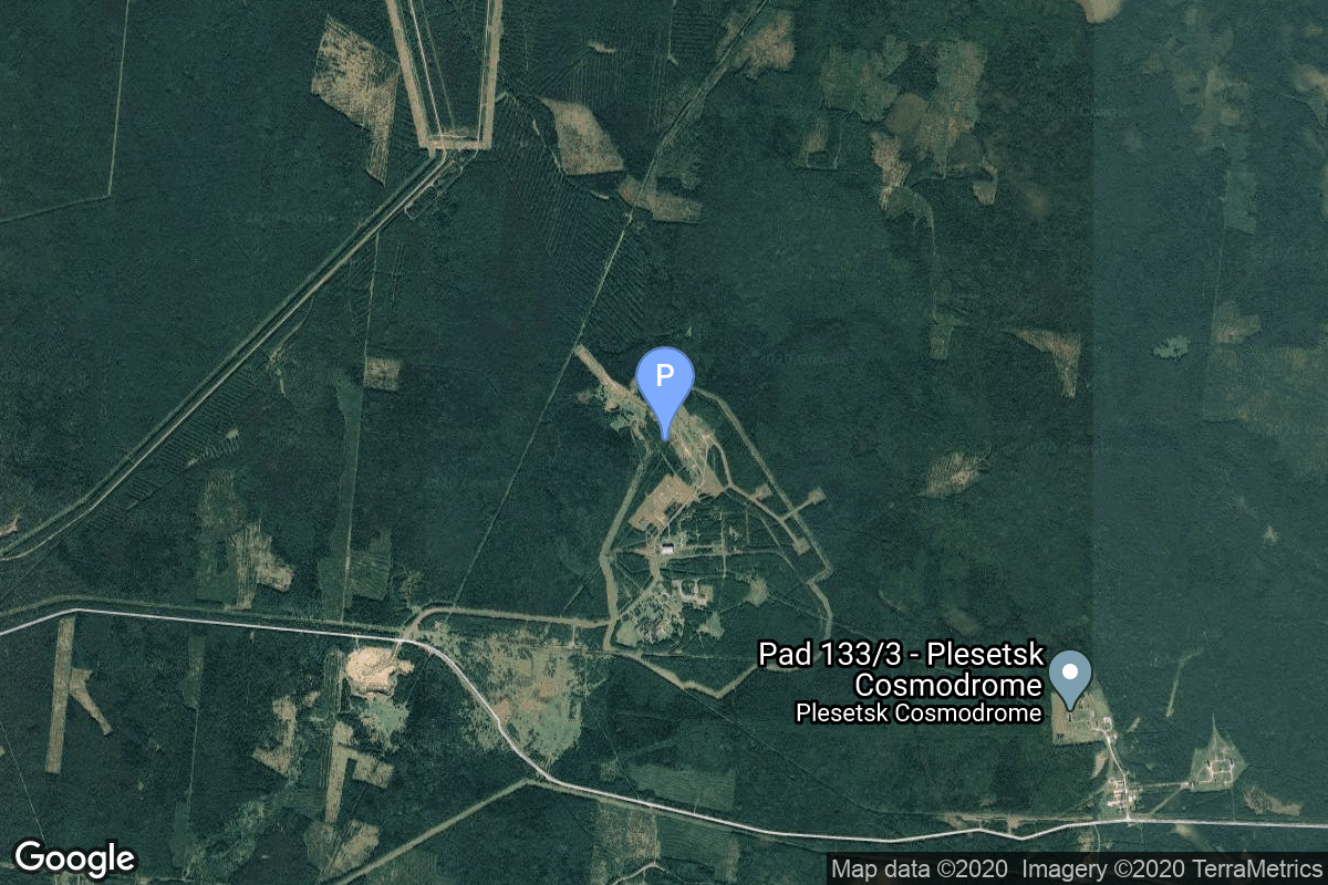
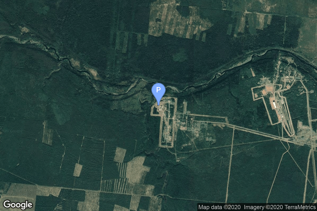
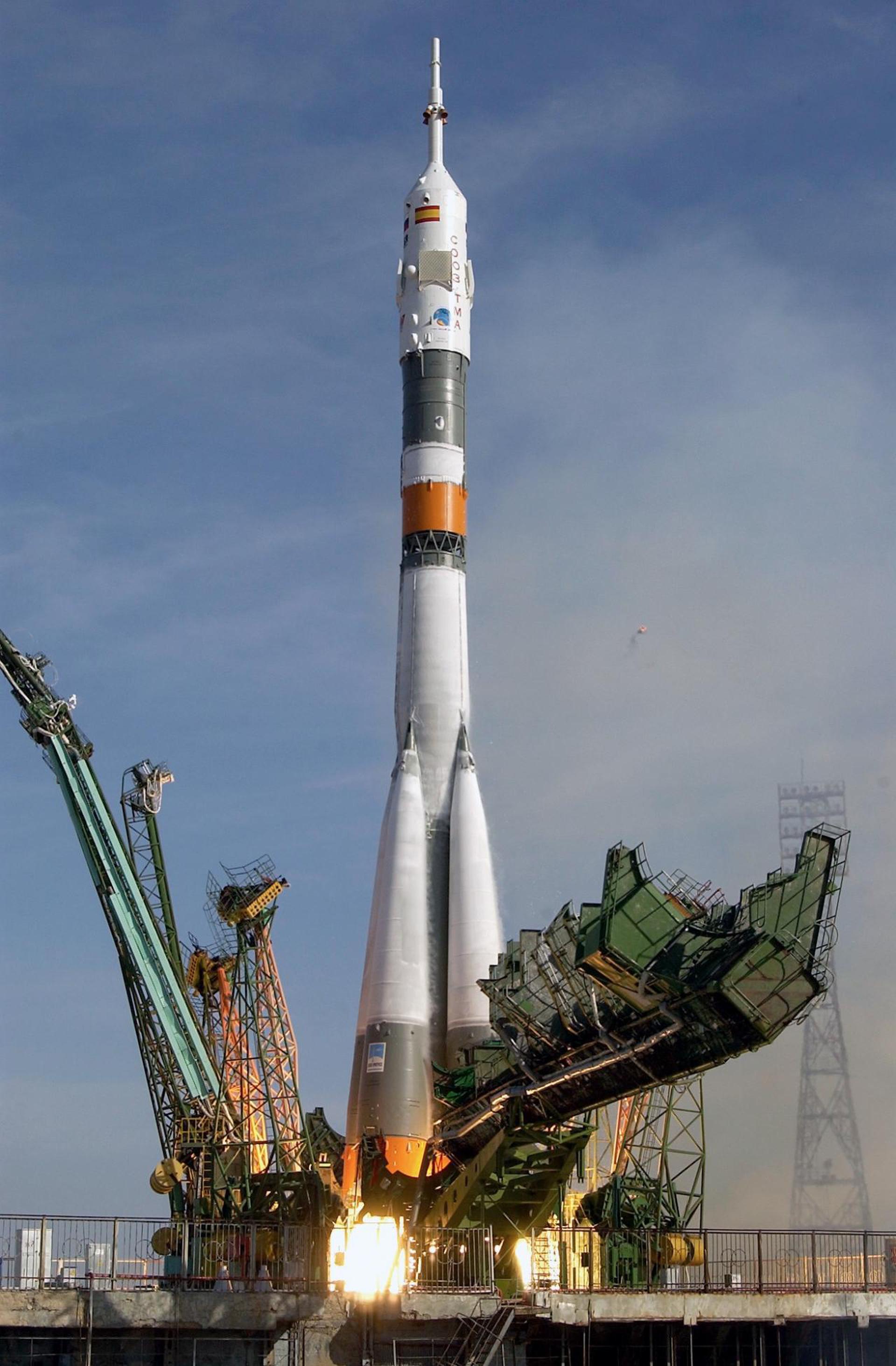
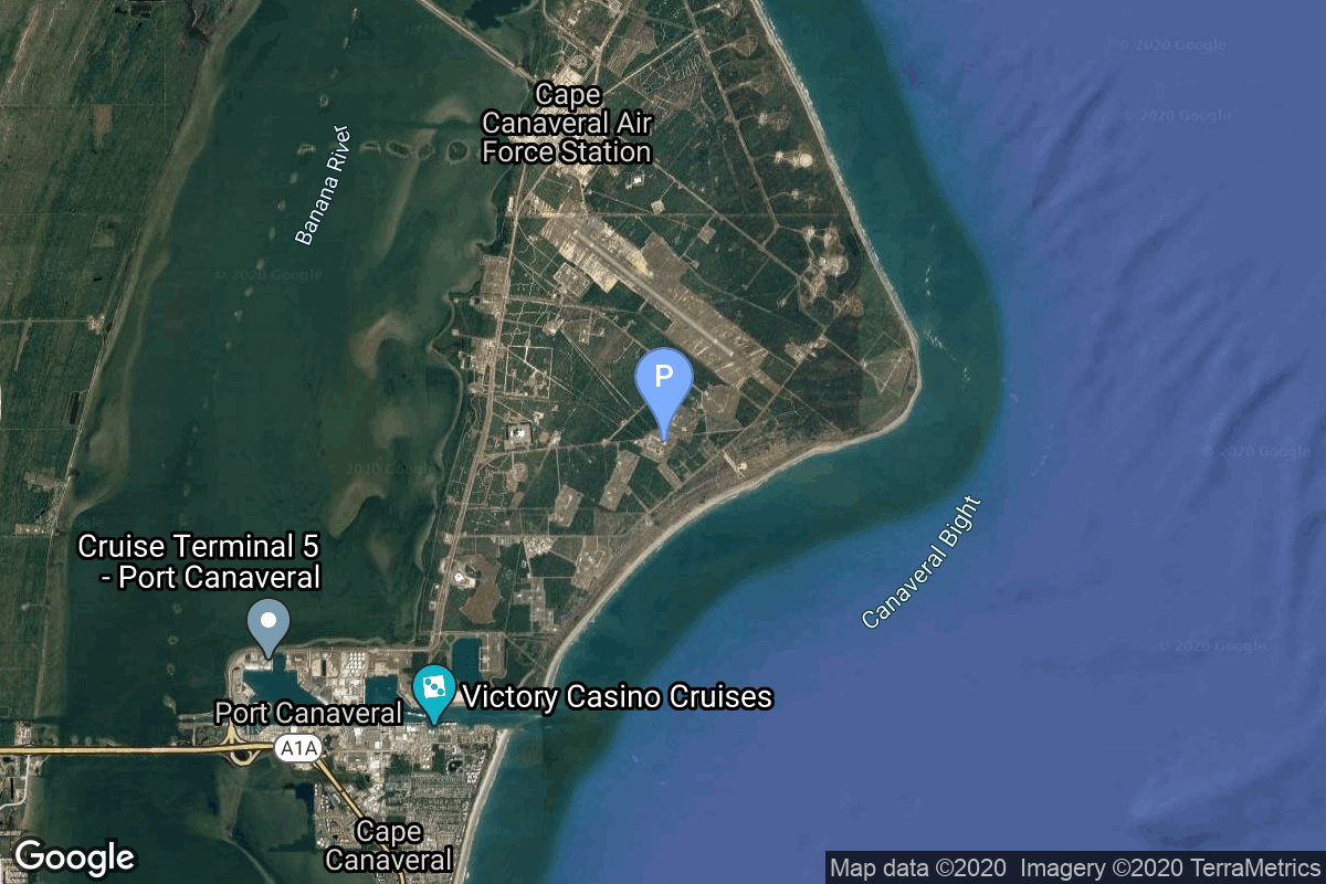
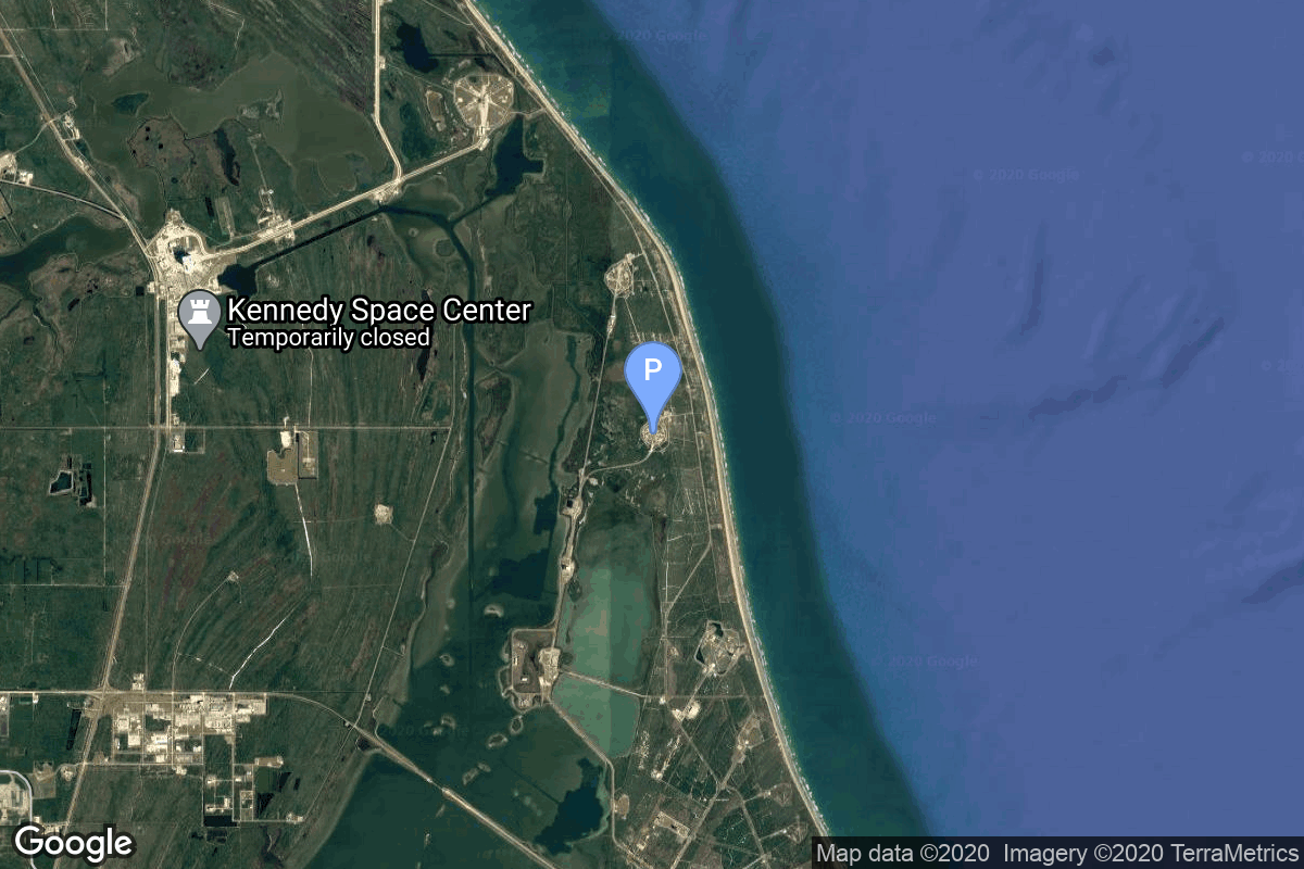
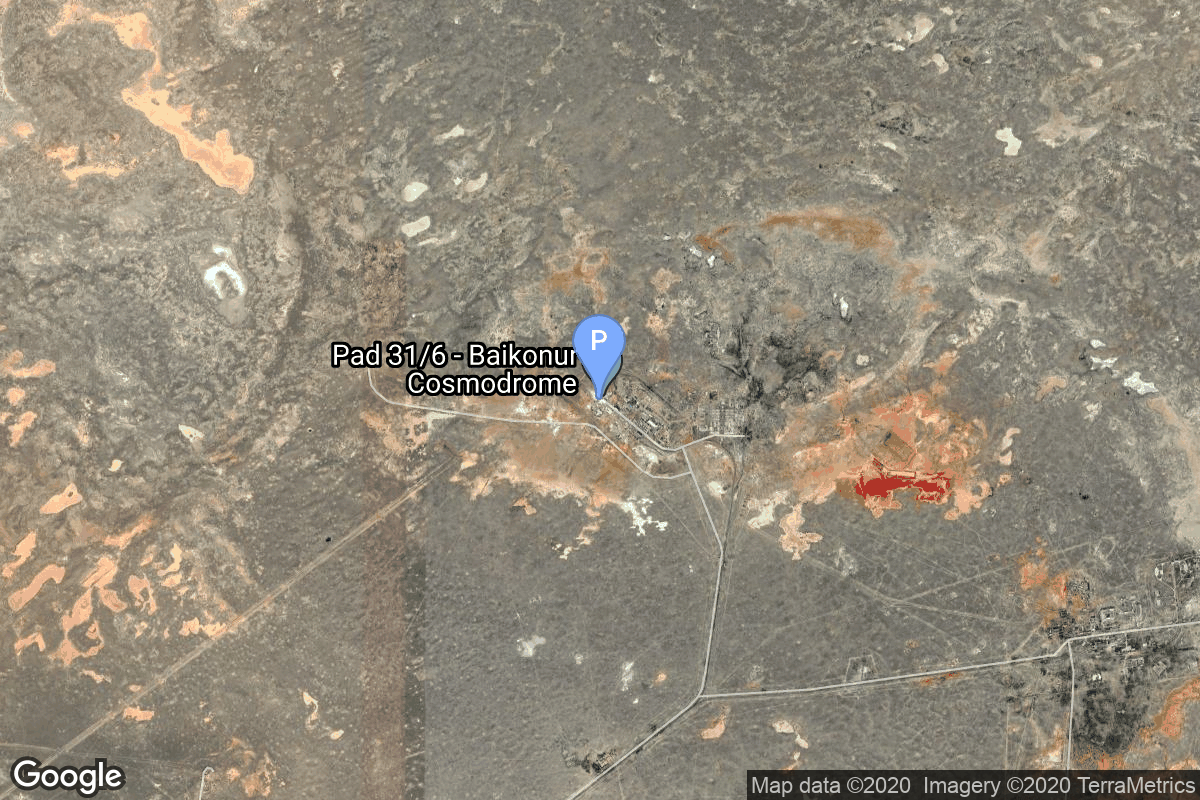
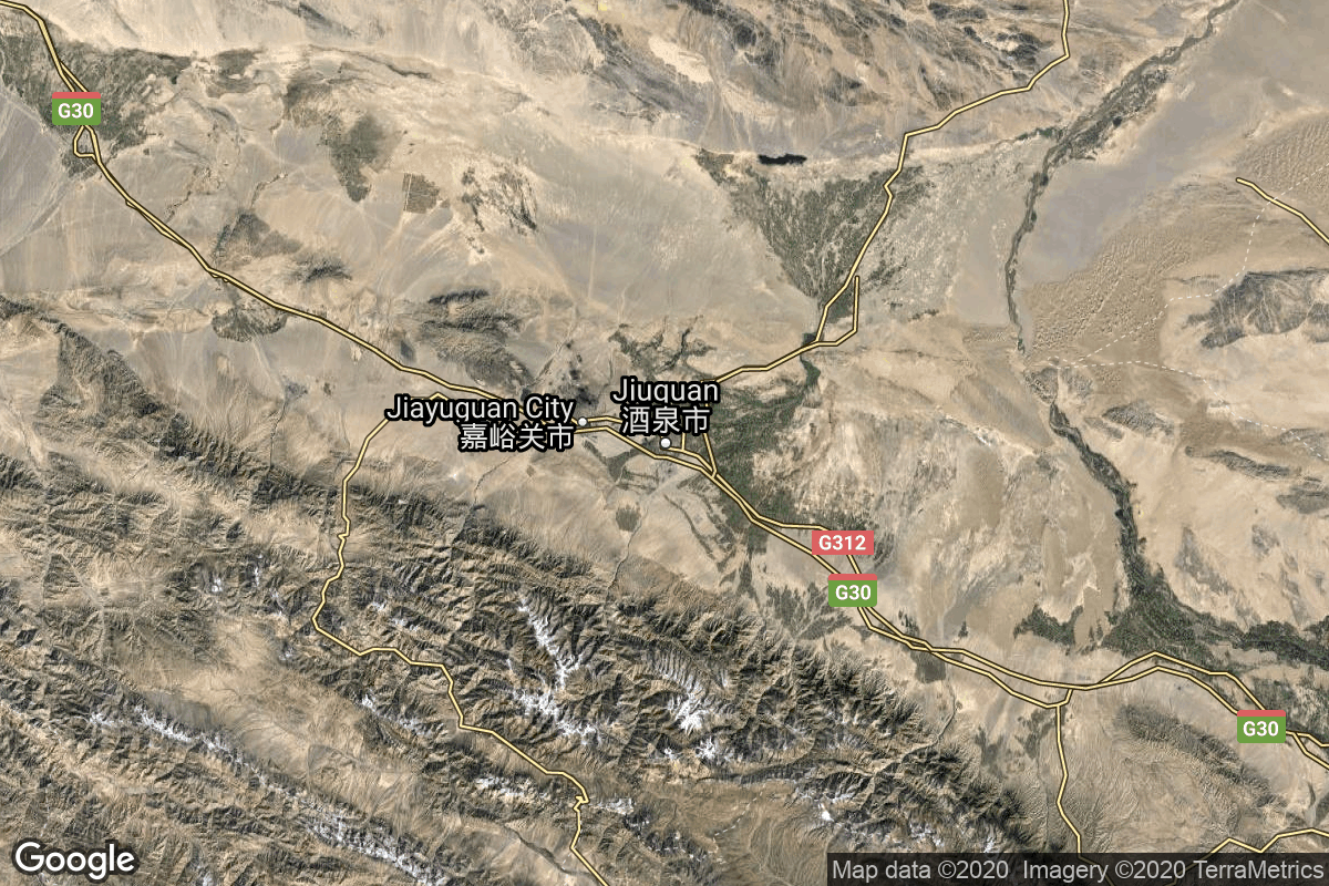
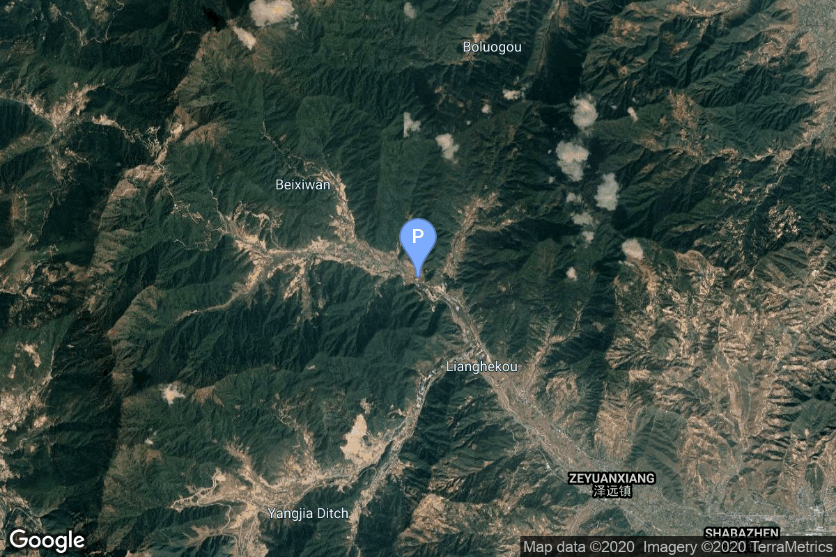
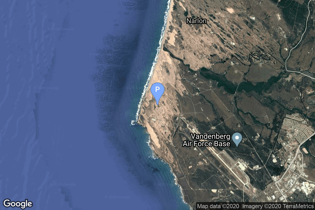
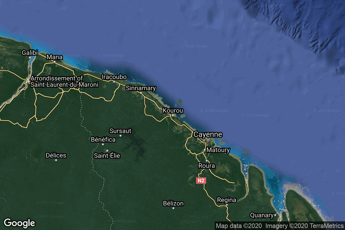
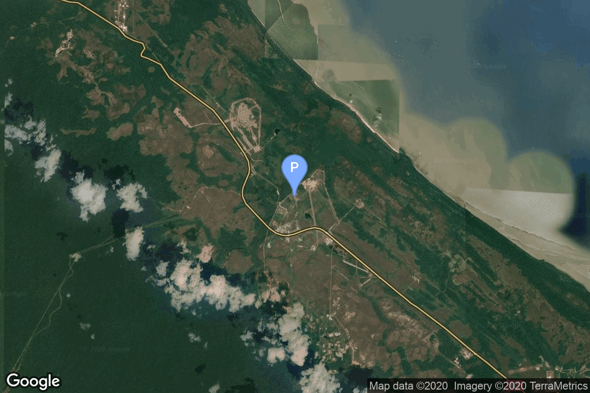
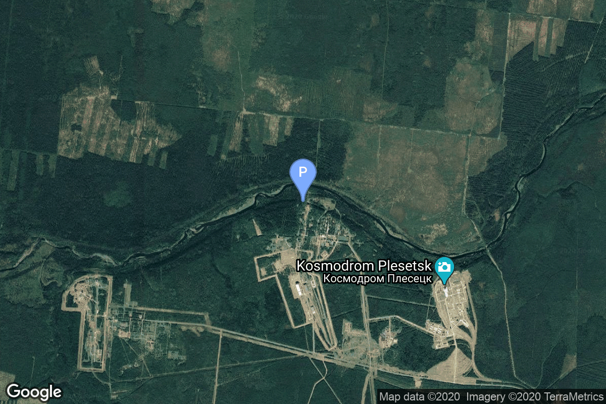
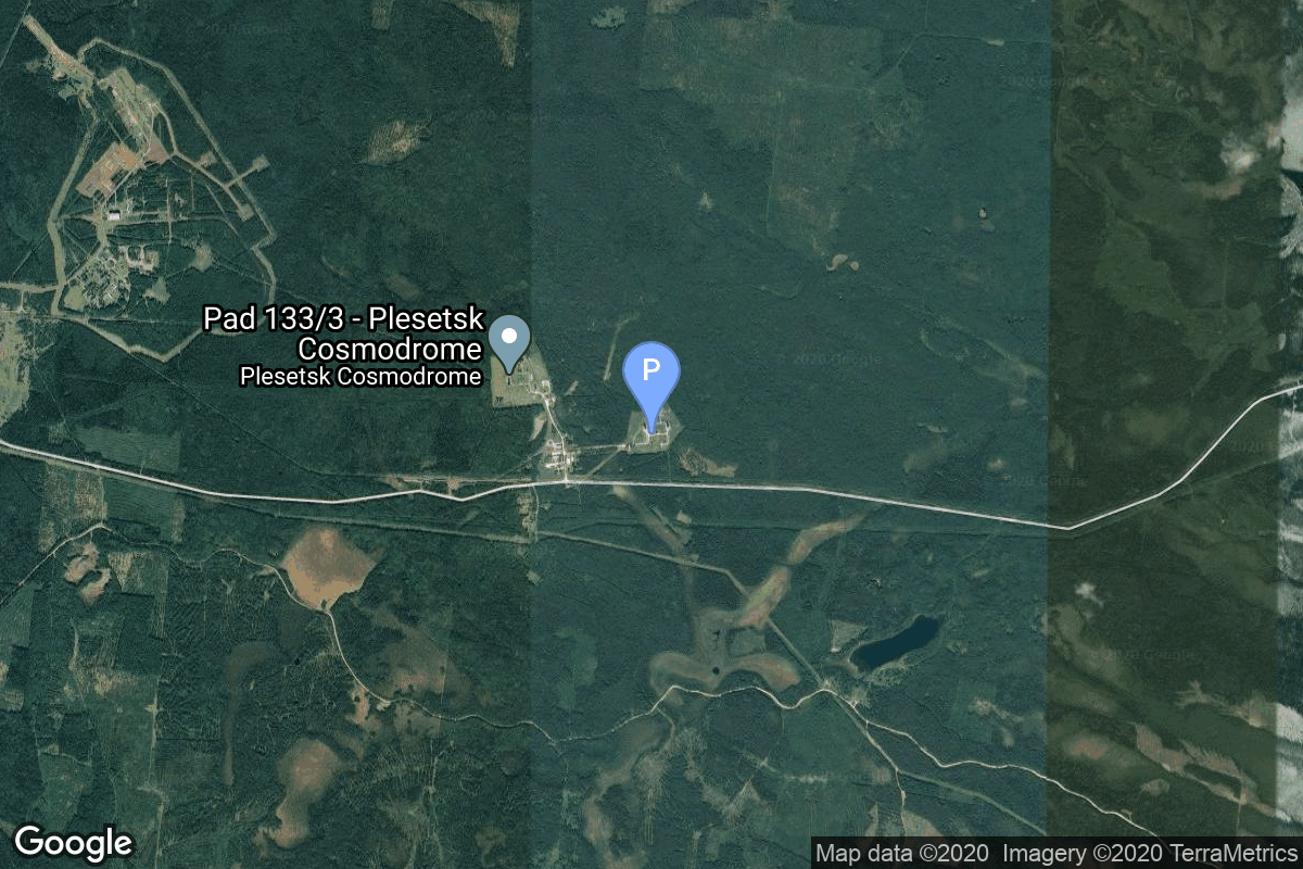
{ "count": 8136, "next": "https://lldev.thespacedevs.com/2.0.0/launch/?format=api&limit=10&offset=6490&ordering=-id", "previous": "https://lldev.thespacedevs.com/2.0.0/launch/?format=api&limit=10&offset=6470&ordering=-id", "results": [ { "id": "359ea935-04b6-4cf5-81c4-aeadcd351ade", "url": "https://lldev.thespacedevs.com/2.0.0/launch/359ea935-04b6-4cf5-81c4-aeadcd351ade/?format=api", "launch_library_id": null, "slug": "tsiklon-3-meteor-2-20", "name": "Tsiklon-3 | Meteor-2 20", "status": { "id": 3, "name": "Success" }, "net": "1990-09-28T07:30:00Z", "window_end": "1990-09-28T07:30:00Z", "window_start": "1990-09-28T07:30:00Z", "inhold": false, "tbdtime": false, "tbddate": false, "probability": null, "holdreason": "", "failreason": null, "hashtag": null, "launch_service_provider": { "id": 66, "url": "https://lldev.thespacedevs.com/2.0.0/agencies/66/?format=api", "name": "Soviet Space Program", "type": "Government" }, "rocket": { "id": 6311, "configuration": { "id": 445, "launch_library_id": null, "url": "https://lldev.thespacedevs.com/2.0.0/config/launcher/445/?format=api", "name": "Tsiklon-3", "family": "Tsiklon", "full_name": "Tsiklon-3", "variant": "3" } }, "mission": { "id": 4701, "launch_library_id": null, "name": "Meteor-2 20", "description": "Second generation soviet meteorological satellite", "launch_designator": null, "type": "Earth Science", "orbit": { "id": 8, "name": "Low Earth Orbit", "abbrev": "LEO" } }, "pad": { "id": 126, "url": "https://lldev.thespacedevs.com/2.0.0/pad/126/?format=api", "agency_id": 63, "name": "32/1", "info_url": null, "wiki_url": "https://en.wikipedia.org/wiki/Plesetsk_Cosmodrome_Site_32", "map_url": "https://www.google.com/maps?q=62.9063889,40.7844727", "latitude": "62.9063889", "longitude": "40.7844727", "location": { "id": 6, "url": "https://lldev.thespacedevs.com/2.0.0/location/6/?format=api", "name": "Plesetsk Cosmodrome, Russian Federation", "country_code": "RUS", "map_image": "https://thespacedevs-dev.nyc3.digitaloceanspaces.com/media/map_images/location_6_20200803142434.jpg", "total_launch_count": 1689, "total_landing_count": 0 }, "map_image": "https://thespacedevs-dev.nyc3.digitaloceanspaces.com/media/map_images/pad_126_20200803143238.jpg", "total_launch_count": 57 }, "webcast_live": false, "image": "https://thespacedevs-dev.nyc3.digitaloceanspaces.com/media/images/tsyklon-3_launc_image_20251112153513.png", "infographic": null, "program": [] }, { "id": "35927db3-99dc-4996-aa33-2d981a300315", "url": "https://lldev.thespacedevs.com/2.0.0/launch/35927db3-99dc-4996-aa33-2d981a300315/?format=api", "launch_library_id": null, "slug": "soyuz-u-zenit-4mkm-5", "name": "Soyuz U | Zenit-4MKM 5", "status": { "id": 3, "name": "Success" }, "net": "1977-09-16T14:30:00Z", "window_end": "1977-09-16T14:30:00Z", "window_start": "1977-09-16T14:30:00Z", "inhold": false, "tbdtime": false, "tbddate": false, "probability": null, "holdreason": "", "failreason": null, "hashtag": null, "launch_service_provider": { "id": 66, "url": "https://lldev.thespacedevs.com/2.0.0/agencies/66/?format=api", "name": "Soviet Space Program", "type": "Government" }, "rocket": { "id": 4880, "configuration": { "id": 37, "launch_library_id": 35, "url": "https://lldev.thespacedevs.com/2.0.0/config/launcher/37/?format=api", "name": "Soyuz U", "family": "Soyuz", "full_name": "Soyuz U", "variant": "" } }, "mission": { "id": 3297, "launch_library_id": null, "name": "Zenit-4MKM 5", "description": "High-resolution film-return Zenit reconnaissance satellite", "launch_designator": null, "type": "Government/Top Secret", "orbit": { "id": 8, "name": "Low Earth Orbit", "abbrev": "LEO" } }, "pad": { "id": 36, "url": "https://lldev.thespacedevs.com/2.0.0/pad/36/?format=api", "agency_id": 163, "name": "43/3 (43L)", "info_url": null, "wiki_url": null, "map_url": "https://www.google.com/maps?q=62.9273,40.45", "latitude": "62.9273", "longitude": "40.45", "location": { "id": 6, "url": "https://lldev.thespacedevs.com/2.0.0/location/6/?format=api", "name": "Plesetsk Cosmodrome, Russian Federation", "country_code": "RUS", "map_image": "https://thespacedevs-dev.nyc3.digitaloceanspaces.com/media/map_images/location_6_20200803142434.jpg", "total_launch_count": 1689, "total_landing_count": 0 }, "map_image": "https://thespacedevs-dev.nyc3.digitaloceanspaces.com/media/map_images/pad_36_20200803143534.jpg", "total_launch_count": 235 }, "webcast_live": false, "image": "https://thespacedevs-dev.nyc3.digitaloceanspaces.com/media/images/soyuz2520u_image_20190222031023.jpeg", "infographic": null, "program": [] }, { "id": "3587bc21-73f7-4668-b388-5f0840c6064f", "url": "https://lldev.thespacedevs.com/2.0.0/launch/3587bc21-73f7-4668-b388-5f0840c6064f/?format=api", "launch_library_id": null, "slug": "thor-able-ii-transit-1a", "name": "Thor Able II | Transit 1A", "status": { "id": 4, "name": "Failure" }, "net": "1959-09-17T14:34:00Z", "window_end": "1959-09-17T14:34:00Z", "window_start": "1959-09-17T14:34:00Z", "inhold": false, "tbdtime": false, "tbddate": false, "probability": null, "holdreason": "", "failreason": null, "hashtag": null, "launch_service_provider": { "id": 161, "url": "https://lldev.thespacedevs.com/2.0.0/agencies/161/?format=api", "name": "United States Air Force", "type": "Government" }, "rocket": { "id": 3050, "configuration": { "id": 389, "launch_library_id": null, "url": "https://lldev.thespacedevs.com/2.0.0/config/launcher/389/?format=api", "name": "Thor Able II", "family": "Thor", "full_name": "Thor Able II", "variant": "Able II" } }, "mission": { "id": 1472, "launch_library_id": null, "name": "Transit 1A", "description": "The Transit satellite system was the first satellite navigation system to be used operationally. The system was used to provide accurate location for the US Navy ships. Transit 1A failed to make orbit.", "launch_designator": null, "type": "Navigation", "orbit": { "id": 8, "name": "Low Earth Orbit", "abbrev": "LEO" } }, "pad": { "id": 14, "url": "https://lldev.thespacedevs.com/2.0.0/pad/14/?format=api", "agency_id": null, "name": "Space Launch Complex 17A", "info_url": null, "wiki_url": "https://en.wikipedia.org/wiki/Cape_Canaveral_Space_Launch_Complex_17", "map_url": "https://www.google.com/maps?q=28.4472,-80.565", "latitude": "28.4472", "longitude": "-80.565", "location": { "id": 12, "url": "https://lldev.thespacedevs.com/2.0.0/location/12/?format=api", "name": "Cape Canaveral SFS, FL, USA", "country_code": "USA", "map_image": "https://thespacedevs-dev.nyc3.digitaloceanspaces.com/media/map_images/location_12_20200803142519.jpg", "total_launch_count": 1132, "total_landing_count": 83 }, "map_image": "https://thespacedevs-dev.nyc3.digitaloceanspaces.com/media/map_images/pad_14_20200803143451.jpg", "total_launch_count": 145 }, "webcast_live": false, "image": null, "infographic": null, "program": [] }, { "id": "358288da-367d-4e98-9535-e05ae5c6591c", "url": "https://lldev.thespacedevs.com/2.0.0/launch/358288da-367d-4e98-9535-e05ae5c6591c/?format=api", "launch_library_id": null, "slug": "titan-iiic-les-8-9-solrad-11a-11b", "name": "Titan IIIC | LES 8, 9 & Solrad 11A, 11B", "status": { "id": 3, "name": "Success" }, "net": "1976-03-15T01:25:40Z", "window_end": "1976-03-15T01:25:40Z", "window_start": "1976-03-15T01:25:40Z", "inhold": false, "tbdtime": false, "tbddate": false, "probability": null, "holdreason": "", "failreason": null, "hashtag": null, "launch_service_provider": { "id": 161, "url": "https://lldev.thespacedevs.com/2.0.0/agencies/161/?format=api", "name": "United States Air Force", "type": "Government" }, "rocket": { "id": 4686, "configuration": { "id": 439, "launch_library_id": null, "url": "https://lldev.thespacedevs.com/2.0.0/config/launcher/439/?format=api", "name": "Titan IIIC", "family": "Titan", "full_name": "Titan IIIC", "variant": "IIIC" } }, "mission": { "id": 3104, "launch_library_id": null, "name": "LES 8, 9 & Solrad 11A, 11B", "description": "LES 8 and 9 were experimental nuclear-powered geostationary communications satellites. Solrad 11A and 11B were scientific satellites designed to monitor the solar X-ray, UV and energetic particle emissions.", "launch_designator": null, "type": "Dedicated Rideshare", "orbit": { "id": 1, "name": "Geostationary Orbit", "abbrev": "Direct-GEO" } }, "pad": { "id": 80, "url": "https://lldev.thespacedevs.com/2.0.0/pad/80/?format=api", "agency_id": 121, "name": "Space Launch Complex 40", "info_url": null, "wiki_url": "https://en.wikipedia.org/wiki/Cape_Canaveral_Air_Force_Station_Space_Launch_Complex_40", "map_url": "https://www.google.com/maps?q=28.56194122,-80.57735736", "latitude": "28.56194122", "longitude": "-80.57735736", "location": { "id": 12, "url": "https://lldev.thespacedevs.com/2.0.0/location/12/?format=api", "name": "Cape Canaveral SFS, FL, USA", "country_code": "USA", "map_image": "https://thespacedevs-dev.nyc3.digitaloceanspaces.com/media/map_images/location_12_20200803142519.jpg", "total_launch_count": 1132, "total_landing_count": 83 }, "map_image": "https://thespacedevs-dev.nyc3.digitaloceanspaces.com/media/map_images/pad_80_20200803143323.jpg", "total_launch_count": 404 }, "webcast_live": false, "image": "https://thespacedevs-dev.nyc3.digitaloceanspaces.com/media/images/titan_iii-c_lau_image_20251103140641.jpeg", "infographic": null, "program": [] }, { "id": "357e51d0-84df-43f6-8a35-e449d686d308", "url": "https://lldev.thespacedevs.com/2.0.0/launch/357e51d0-84df-43f6-8a35-e449d686d308/?format=api", "launch_library_id": null, "slug": "soyuz-u-zenit-4mkm-31", "name": "Soyuz U | Zenit-4MKM 31", "status": { "id": 3, "name": "Success" }, "net": "1979-07-10T09:00:00Z", "window_end": "1979-07-10T09:00:00Z", "window_start": "1979-07-10T09:00:00Z", "inhold": false, "tbdtime": false, "tbddate": false, "probability": null, "holdreason": "", "failreason": null, "hashtag": null, "launch_service_provider": { "id": 66, "url": "https://lldev.thespacedevs.com/2.0.0/agencies/66/?format=api", "name": "Soviet Space Program", "type": "Government" }, "rocket": { "id": 5092, "configuration": { "id": 37, "launch_library_id": 35, "url": "https://lldev.thespacedevs.com/2.0.0/config/launcher/37/?format=api", "name": "Soyuz U", "family": "Soyuz", "full_name": "Soyuz U", "variant": "" } }, "mission": { "id": 3504, "launch_library_id": null, "name": "Zenit-4MKM 31", "description": "High-resolution film-return Zenit reconnaissance satellite", "launch_designator": null, "type": "Government/Top Secret", "orbit": { "id": 8, "name": "Low Earth Orbit", "abbrev": "LEO" } }, "pad": { "id": 20, "url": "https://lldev.thespacedevs.com/2.0.0/pad/20/?format=api", "agency_id": null, "name": "31/6", "info_url": null, "wiki_url": "https://en.wikipedia.org/wiki/Baikonur_Cosmodrome_Site_31", "map_url": "https://www.google.com/maps?q=45.996034,63.564003", "latitude": "45.996034", "longitude": "63.564003", "location": { "id": 15, "url": "https://lldev.thespacedevs.com/2.0.0/location/15/?format=api", "name": "Baikonur Cosmodrome, Republic of Kazakhstan", "country_code": "KAZ", "map_image": "https://thespacedevs-dev.nyc3.digitaloceanspaces.com/media/map_images/location_15_20200803142517.jpg", "total_launch_count": 1565, "total_landing_count": 0 }, "map_image": "https://thespacedevs-dev.nyc3.digitaloceanspaces.com/media/map_images/pad_20_20200803143516.jpg", "total_launch_count": 430 }, "webcast_live": false, "image": "https://thespacedevs-dev.nyc3.digitaloceanspaces.com/media/images/soyuz2520u_image_20190222031023.jpeg", "infographic": null, "program": [] }, { "id": "357d1686-d5c9-4b77-9e4c-f894b16887fa", "url": "https://lldev.thespacedevs.com/2.0.0/launch/357d1686-d5c9-4b77-9e4c-f894b16887fa/?format=api", "launch_library_id": 1659, "slug": "kuaizhou-1a-kx-09-ty-1-07-xiaoxiang-1-07", "name": "Kuaizhou 1A | KX-09 & TY-1-07 (Xiaoxiang-1-07)", "status": { "id": 3, "name": "Success" }, "net": "2019-08-30T23:41:25Z", "window_end": "2019-08-30T23:41:25Z", "window_start": "2019-08-30T23:41:25Z", "inhold": false, "tbdtime": false, "tbddate": false, "probability": null, "holdreason": "", "failreason": "", "hashtag": null, "launch_service_provider": { "id": 194, "url": "https://lldev.thespacedevs.com/2.0.0/agencies/194/?format=api", "name": "ExPace", "type": "Commercial" }, "rocket": { "id": 2168, "configuration": { "id": 135, "launch_library_id": 155, "url": "https://lldev.thespacedevs.com/2.0.0/config/launcher/135/?format=api", "name": "Kuaizhou 1A", "family": "Kuaizhou", "full_name": "Kuaizhou 1A", "variant": "1A" } }, "mission": { "id": 1034, "launch_library_id": 1236, "name": "KX-09 & TY-1-07 (Xiaoxiang-1-07)", "description": "Developed by the DFH Satellite Co., the microgravity experimental satellite KX-09 (supposedly Kuxue-09) will conduct studies in microgravity. Established in August 2001, DFH Satellite Co., Ltd. is mainly engaged in system R&D, design, integration and in-orbit service of small satellites. It is subordinated to China Academy of Space Technology (CAST) and wholly owned by the listed company China Spacesat Co., Ltd.\r\n\r\nXiaoxiang 1-07 (TY 1-07) is a small satellite developed by SpaceTY, possibly a CubeSat-2U. As one of the first commercial aerospace companies in China, “Spacety†specializes in developing commercial micro/nanosatellites. The company aims to provide short-cycle, low-cost and one-stop services to scientists, research institutes, and commercial companies, for science experiments and technology demonstrations.", "launch_designator": null, "type": "Technology", "orbit": { "id": 17, "name": "Sun-Synchronous Orbit", "abbrev": "SSO" } }, "pad": { "id": 21, "url": "https://lldev.thespacedevs.com/2.0.0/pad/21/?format=api", "agency_id": null, "name": "Launch Area 95A", "info_url": null, "wiki_url": "https://en.wikipedia.org/wiki/Jiuquan_Satellite_Launch_Center", "map_url": "https://www.google.com/maps?q=40.969117,100.343333", "latitude": "40.969117", "longitude": "100.343333", "location": { "id": 17, "url": "https://lldev.thespacedevs.com/2.0.0/location/17/?format=api", "name": "Jiuquan Satellite Launch Center, People's Republic of China", "country_code": "CHN", "map_image": "https://thespacedevs-dev.nyc3.digitaloceanspaces.com/media/map_images/location_17_20200803142429.jpg", "total_launch_count": 303, "total_landing_count": 3 }, "map_image": "https://thespacedevs-dev.nyc3.digitaloceanspaces.com/media/map_images/pad_21_20200803143253.jpg", "total_launch_count": 69 }, "webcast_live": false, "image": "https://thespacedevs-dev.nyc3.digitaloceanspaces.com/media/images/kuaizhou_1a_lau_image_20251206092920.jpeg", "infographic": null, "program": [] }, { "id": "356e8485-1b52-4741-bea8-c7c36f57cff9", "url": "https://lldev.thespacedevs.com/2.0.0/launch/356e8485-1b52-4741-bea8-c7c36f57cff9/?format=api", "launch_library_id": null, "slug": "thor-burner-1-dsap-2-f1", "name": "Thor Burner 1 | DSAP-2 F1", "status": { "id": 3, "name": "Success" }, "net": "1965-09-10T04:41:38Z", "window_end": "1965-09-10T04:41:38Z", "window_start": "1965-09-10T04:41:38Z", "inhold": false, "tbdtime": false, "tbddate": false, "probability": null, "holdreason": "", "failreason": null, "hashtag": null, "launch_service_provider": { "id": 161, "url": "https://lldev.thespacedevs.com/2.0.0/agencies/161/?format=api", "name": "United States Air Force", "type": "Government" }, "rocket": { "id": 3435, "configuration": { "id": 394, "launch_library_id": null, "url": "https://lldev.thespacedevs.com/2.0.0/config/launcher/394/?format=api", "name": "Thor Burner 1", "family": "Thor", "full_name": "Thor Burner 1", "variant": "Burner 1" } }, "mission": { "id": 1855, "launch_library_id": null, "name": "DSAP-2 F1", "description": "The DSAP-2 (Defense Satellite Application Program Block 2) satellites series consisted of three modified DSAP-1 military meteorological satellites.", "launch_designator": null, "type": "Government/Top Secret", "orbit": { "id": 17, "name": "Sun-Synchronous Orbit", "abbrev": "SSO" } }, "pad": { "id": 171, "url": "https://lldev.thespacedevs.com/2.0.0/pad/171/?format=api", "agency_id": null, "name": "Space Launch Complex 10W", "info_url": null, "wiki_url": "https://en.wikipedia.org/wiki/Vandenberg_Air_Force_Base_Space_Launch_Complex_10", "map_url": "https://www.google.com/maps?q=34.7652778,-120.6244162", "latitude": "34.7652778", "longitude": "-120.6244162", "location": { "id": 11, "url": "https://lldev.thespacedevs.com/2.0.0/location/11/?format=api", "name": "Vandenberg SFB, CA, USA", "country_code": "USA", "map_image": "https://thespacedevs-dev.nyc3.digitaloceanspaces.com/media/map_images/location_11_20200803142416.jpg", "total_launch_count": 924, "total_landing_count": 37 }, "map_image": "https://thespacedevs-dev.nyc3.digitaloceanspaces.com/media/map_images/pad_171_20200803143449.jpg", "total_launch_count": 31 }, "webcast_live": false, "image": null, "infographic": null, "program": [] }, { "id": "355ab4b9-504c-49ce-84bf-a6df31a0aadf", "url": "https://lldev.thespacedevs.com/2.0.0/launch/355ab4b9-504c-49ce-84bf-a6df31a0aadf/?format=api", "launch_library_id": null, "slug": "vega-theos-2-triton-others", "name": "Vega | THEOS-2, TRITON & others", "status": { "id": 3, "name": "Success" }, "net": "2023-10-09T01:36:25Z", "window_end": "2023-10-09T01:36:25Z", "window_start": "2023-10-09T01:36:25Z", "inhold": false, "tbdtime": false, "tbddate": false, "probability": null, "holdreason": "", "failreason": "", "hashtag": null, "launch_service_provider": { "id": 115, "url": "https://lldev.thespacedevs.com/2.0.0/agencies/115/?format=api", "name": "Arianespace", "type": "Commercial" }, "rocket": { "id": 7903, "configuration": { "id": 167, "launch_library_id": 18, "url": "https://lldev.thespacedevs.com/2.0.0/config/launcher/167/?format=api", "name": "Vega", "family": "Vega", "full_name": "Vega", "variant": "" } }, "mission": { "id": 6492, "launch_library_id": null, "name": "THEOS-2, TRITON & others", "description": "THEOS-2 is Thailand’s first Earth observation satellite. Built by Airbus Defense and Space and based on the Astrobus-S platform, it is designed for optical measurements with a ground resolution of approximately 1 meter.\r\n\r\nTRITON or FORMOSAT-7R is an additional satellite by NSPO added to the joint Taiwanese-US FORMOSAT 7 / COSMIC-2 constellation for collecting atmospheric data for weather prediction and for ionosphere, climate and gravity research. Its GNSS Reflectometry payload can be used to calculate the wind speed over sea surfaces.\r\n\r\nCubesats:\r\n\r\nPROBA-V-CC (Project for On-Board Autonomy - Vegetation - Companion CubeSat) (12U) is a mission that will fly a scaled-down version of the vegetation-monitoring instrument aboard the Earth-observing PROBA-V to conduct combined experimental observations with its predecessor.\r\n\r\nPRETTY (Passive REflecTomeTry and dosimetrY) (3U) flies a GPS/Galileo signal reflectometer and radiation monitor for Graz University of Technology of Austria.\r\n\r\nMACSAT (6U) is an In-orbit demonstration (IoD) missionto demonstrate IoT communication over 5G for OQTech.\r\n\r\nCSC-1 and 2 (6U) contains 7 different experimental payloads from various institutions being flown by ISISPACE/ISL.\r\n\r\nN3SS (Nanosat 3U pour la Surveillance du Spectre) (3U) is a demonstration system for detecting and\r\nlocalize radio-frequency jammers on civil spectrum for the French CNES.\r\n\r\nESTCUBE-2 is a technology demonstration mission with multiple scientific payloads for University of Tartu of Estonia.\r\n\r\nANSER LEADER/FOLLOWER 1/2 (Advanced\r\nNanosatellite Systems for Earth observation Research) is a cluster of 3 Earth observing cubesats with panchromatic and hyperspectral cameras for Spain's INTA for monitoring the quality of inland (reservoirs) water over the Iberian Peninsula.", "launch_designator": null, "type": "Dedicated Rideshare", "orbit": { "id": 17, "name": "Sun-Synchronous Orbit", "abbrev": "SSO" } }, "pad": { "id": 34, "url": "https://lldev.thespacedevs.com/2.0.0/pad/34/?format=api", "agency_id": 115, "name": "Ariane Launch Area 1 (ELV)", "info_url": null, "wiki_url": "https://en.wikipedia.org/wiki/ELA-1", "map_url": "https://www.google.com/maps?q=5.236,-52.775", "latitude": "5.236", "longitude": "-52.775", "location": { "id": 13, "url": "https://lldev.thespacedevs.com/2.0.0/location/13/?format=api", "name": "Guiana Space Centre, French Guiana", "country_code": "GUF", "map_image": "https://thespacedevs-dev.nyc3.digitaloceanspaces.com/media/map_images/location_13_20200803142412.jpg", "total_launch_count": 336, "total_landing_count": 0 }, "map_image": "https://thespacedevs-dev.nyc3.digitaloceanspaces.com/media/map_images/pad_34_20200803143527.jpg", "total_launch_count": 56 }, "webcast_live": false, "image": "https://thespacedevs-dev.nyc3.digitaloceanspaces.com/media/images/vega2520257c_image_20231009052620.jpeg", "infographic": null, "program": [] }, { "id": "35405198-dd97-425d-955e-3cdcd4d3ba6d", "url": "https://lldev.thespacedevs.com/2.0.0/launch/35405198-dd97-425d-955e-3cdcd4d3ba6d/?format=api", "launch_library_id": null, "slug": "vostok-8a92m-tselina-d-7", "name": "Vostok 8A92M | Tselina-D 7", "status": { "id": 3, "name": "Success" }, "net": "1975-06-20T06:54:00Z", "window_end": "1975-06-20T06:54:00Z", "window_start": "1975-06-20T06:54:00Z", "inhold": false, "tbdtime": false, "tbddate": false, "probability": null, "holdreason": "", "failreason": null, "hashtag": null, "launch_service_provider": { "id": 66, "url": "https://lldev.thespacedevs.com/2.0.0/agencies/66/?format=api", "name": "Soviet Space Program", "type": "Government" }, "rocket": { "id": 4597, "configuration": { "id": 452, "launch_library_id": null, "url": "https://lldev.thespacedevs.com/2.0.0/config/launcher/452/?format=api", "name": "Vostok 8A92M", "family": "Vostok", "full_name": "Vostok 8A92M", "variant": "8A92M" } }, "mission": { "id": 3015, "launch_library_id": null, "name": "Tselina-D 7", "description": "Tselina-D satellites provided detailed observation of radio sources detected by the smaller Tselina-O satellites as part of the Tselina ELINT system.", "launch_designator": null, "type": "Government/Top Secret", "orbit": { "id": 8, "name": "Low Earth Orbit", "abbrev": "LEO" } }, "pad": { "id": 168, "url": "https://lldev.thespacedevs.com/2.0.0/pad/168/?format=api", "agency_id": null, "name": "41/1", "info_url": null, "wiki_url": "https://en.wikipedia.org/wiki/Plesetsk_Cosmodrome", "map_url": "https://www.google.com/maps?q=62.941,40.526806", "latitude": "62.941", "longitude": "40.526806", "location": { "id": 6, "url": "https://lldev.thespacedevs.com/2.0.0/location/6/?format=api", "name": "Plesetsk Cosmodrome, Russian Federation", "country_code": "RUS", "map_image": "https://thespacedevs-dev.nyc3.digitaloceanspaces.com/media/map_images/location_6_20200803142434.jpg", "total_launch_count": 1689, "total_landing_count": 0 }, "map_image": "https://thespacedevs-dev.nyc3.digitaloceanspaces.com/media/map_images/pad_168_20200803143446.jpg", "total_launch_count": 310 }, "webcast_live": false, "image": "https://thespacedevs-dev.nyc3.digitaloceanspaces.com/media/images/the_full-scale__image_20251127090310.jpg", "infographic": null, "program": [] }, { "id": "35404f16-a566-4c99-8ab3-064a6ff03c33", "url": "https://lldev.thespacedevs.com/2.0.0/launch/35404f16-a566-4c99-8ab3-064a6ff03c33/?format=api", "launch_library_id": null, "slug": "kosmos-3m-parus-65", "name": "Kosmos-3M | Parus 65", "status": { "id": 3, "name": "Success" }, "net": "1989-04-04T18:36:52Z", "window_end": "1989-04-04T18:36:52Z", "window_start": "1989-04-04T18:36:52Z", "inhold": false, "tbdtime": false, "tbddate": false, "probability": null, "holdreason": "", "failreason": null, "hashtag": null, "launch_service_provider": { "id": 66, "url": "https://lldev.thespacedevs.com/2.0.0/agencies/66/?format=api", "name": "Soviet Space Program", "type": "Government" }, "rocket": { "id": 6164, "configuration": { "id": 102, "launch_library_id": 122, "url": "https://lldev.thespacedevs.com/2.0.0/config/launcher/102/?format=api", "name": "Kosmos-3M", "family": "Kosmos", "full_name": "Kosmos-3M (11K65M)", "variant": "-3M" } }, "mission": { "id": 4554, "launch_library_id": null, "name": "Parus 65", "description": "Navigation satellite providing location information for the Tsiklon-B navigation system", "launch_designator": null, "type": "Navigation", "orbit": { "id": 8, "name": "Low Earth Orbit", "abbrev": "LEO" } }, "pad": { "id": 167, "url": "https://lldev.thespacedevs.com/2.0.0/pad/167/?format=api", "agency_id": null, "name": "132/2", "info_url": null, "wiki_url": "https://en.wikipedia.org/wiki/Plesetsk_Cosmodrome", "map_url": "https://www.google.com/maps?q=62.883,40.869806", "latitude": "62.883", "longitude": "40.869806", "location": { "id": 6, "url": "https://lldev.thespacedevs.com/2.0.0/location/6/?format=api", "name": "Plesetsk Cosmodrome, Russian Federation", "country_code": "RUS", "map_image": "https://thespacedevs-dev.nyc3.digitaloceanspaces.com/media/map_images/location_6_20200803142434.jpg", "total_launch_count": 1689, "total_landing_count": 0 }, "map_image": "https://thespacedevs-dev.nyc3.digitaloceanspaces.com/media/map_images/pad_167_20200803143417.jpg", "total_launch_count": 172 }, "webcast_live": false, "image": "https://thespacedevs-dev.nyc3.digitaloceanspaces.com/media/images/kosmos-3m_durin_image_20251101171325.jpg", "infographic": null, "program": [] } ] }