Launch List
API endpoint that returns all Launch objects or a single launch.
EXAMPLE - /launch/
GET: Return a list of all Launch objects.
FILTERS: Fields - 'name', 'id(s)', 'lsp_id', 'lsp_name', 'serial_number', 'launcher_config__id', 'rocket__spacecraftflight__spacecraft__name'
MODE: 'normal', 'list', 'detailed' EXAMPLE: ?mode=list
SEARCH: Searches through the launch name, rocket name, launch agency, mission name & spacecraft name. EXAMPLE - ?search=SpaceX
GET /2.0.0/launch/?format=api&offset=6440&ordering=-id
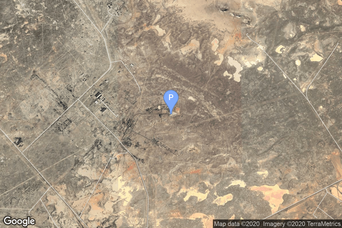
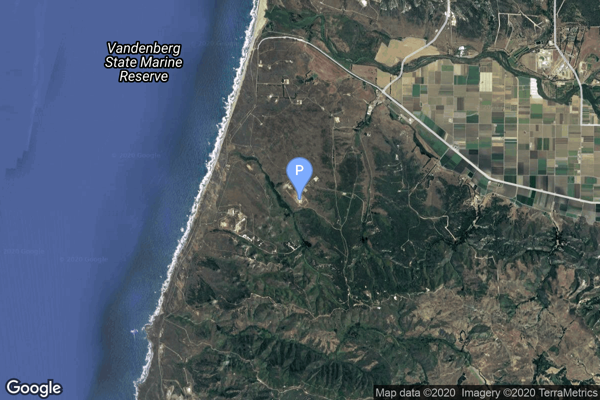
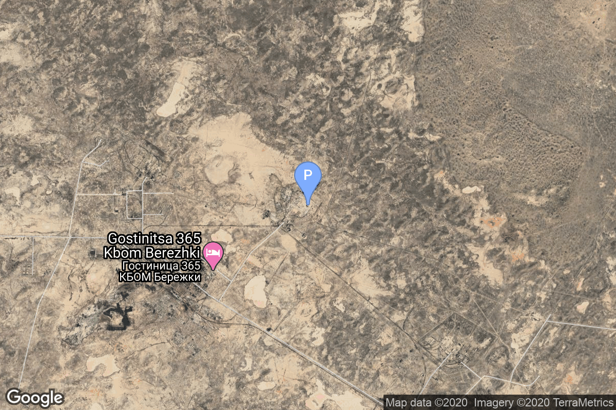
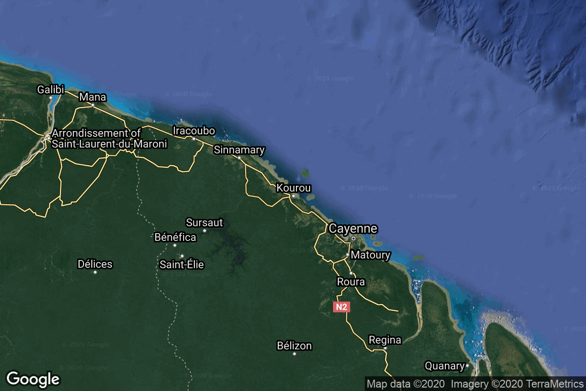
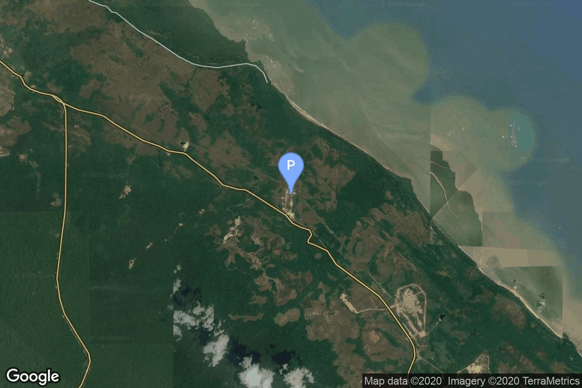
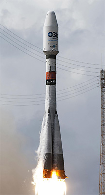
{ "count": 8136, "next": "https://lldev.thespacedevs.com/2.0.0/launch/?format=api&limit=10&offset=6450&ordering=-id", "previous": "https://lldev.thespacedevs.com/2.0.0/launch/?format=api&limit=10&offset=6430&ordering=-id", "results": [ { "id": "3704d527-adaa-4bd9-834d-e03a9f33577b", "url": "https://lldev.thespacedevs.com/2.0.0/launch/3704d527-adaa-4bd9-834d-e03a9f33577b/?format=api", "launch_library_id": null, "slug": "zenit-2-gvm-tselina-2-4", "name": "Zenit-2 | GVM Tselina-2", "status": { "id": 3, "name": "Success" }, "net": "1986-07-30T08:30:00Z", "window_end": "1986-07-30T08:30:00Z", "window_start": "1986-07-30T08:30:00Z", "inhold": false, "tbdtime": false, "tbddate": false, "probability": null, "holdreason": "", "failreason": null, "hashtag": null, "launch_service_provider": { "id": 66, "url": "https://lldev.thespacedevs.com/2.0.0/agencies/66/?format=api", "name": "Soviet Space Program", "type": "Government" }, "rocket": { "id": 5876, "configuration": { "id": 455, "launch_library_id": null, "url": "https://lldev.thespacedevs.com/2.0.0/config/launcher/455/?format=api", "name": "Zenit-2", "family": "Zenith", "full_name": "Zenit-2", "variant": "2" } }, "mission": { "id": 4136, "launch_library_id": null, "name": "GVM Tselina-2", "description": "Dynamic simulator of the Tselina-2 ELINT satellite", "launch_designator": null, "type": "Test Flight", "orbit": { "id": 8, "name": "Low Earth Orbit", "abbrev": "LEO" } }, "pad": { "id": 2, "url": "https://lldev.thespacedevs.com/2.0.0/pad/2/?format=api", "agency_id": null, "name": "45/1", "info_url": null, "wiki_url": "", "map_url": "https://www.google.com/maps?q=45.943492,63.653014", "latitude": "45.943492", "longitude": "63.653014", "location": { "id": 15, "url": "https://lldev.thespacedevs.com/2.0.0/location/15/?format=api", "name": "Baikonur Cosmodrome, Republic of Kazakhstan", "country_code": "KAZ", "map_image": "https://thespacedevs-dev.nyc3.digitaloceanspaces.com/media/map_images/location_15_20200803142517.jpg", "total_launch_count": 1565, "total_landing_count": 0 }, "map_image": "https://thespacedevs-dev.nyc3.digitaloceanspaces.com/media/map_images/pad_2_20200803143256.jpg", "total_launch_count": 47 }, "webcast_live": false, "image": "https://thespacedevs-dev.nyc3.digitaloceanspaces.com/media/images/zenit-2_image_20251104090154.jpg", "infographic": null, "program": [] }, { "id": "37027908-8cd1-4418-9d52-157e3fdc6474", "url": "https://lldev.thespacedevs.com/2.0.0/launch/37027908-8cd1-4418-9d52-157e3fdc6474/?format=api", "launch_library_id": null, "slug": "molniya-m-molniya-1-12", "name": "Molniya-M | Molniya-1 12", "status": { "id": 3, "name": "Success" }, "net": "1969-07-22T12:55:31Z", "window_end": "1969-07-22T12:55:31Z", "window_start": "1969-07-22T12:55:31Z", "inhold": false, "tbdtime": false, "tbddate": false, "probability": null, "holdreason": "", "failreason": null, "hashtag": null, "launch_service_provider": { "id": 66, "url": "https://lldev.thespacedevs.com/2.0.0/agencies/66/?format=api", "name": "Soviet Space Program", "type": "Government" }, "rocket": { "id": 3923, "configuration": { "id": 106, "launch_library_id": 126, "url": "https://lldev.thespacedevs.com/2.0.0/config/launcher/106/?format=api", "name": "Molniya-M", "family": "R-7", "full_name": "Molniya-M 2BL", "variant": "2BL" } }, "mission": { "id": 2341, "launch_library_id": null, "name": "Molniya-1 12", "description": "The Molniya were Soviet communication satellites operating from an inclined highly elliptical earth orbit of 500 km × 40000 km with 12 hour period for coverage of high northern latitudes.", "launch_designator": null, "type": "Communications", "orbit": { "id": 0, "name": "Elliptical Orbit", "abbrev": "Elliptical" } }, "pad": { "id": 32, "url": "https://lldev.thespacedevs.com/2.0.0/pad/32/?format=api", "agency_id": null, "name": "1/5", "info_url": null, "wiki_url": "", "map_url": "https://www.google.com/maps?q=45.92,63.342", "latitude": "45.92", "longitude": "63.342", "location": { "id": 15, "url": "https://lldev.thespacedevs.com/2.0.0/location/15/?format=api", "name": "Baikonur Cosmodrome, Republic of Kazakhstan", "country_code": "KAZ", "map_image": "https://thespacedevs-dev.nyc3.digitaloceanspaces.com/media/map_images/location_15_20200803142517.jpg", "total_launch_count": 1565, "total_landing_count": 0 }, "map_image": "https://thespacedevs-dev.nyc3.digitaloceanspaces.com/media/map_images/pad_32_20200803143513.jpg", "total_launch_count": 487 }, "webcast_live": false, "image": "https://thespacedevs-dev.nyc3.digitaloceanspaces.com/media/images/molniya_m_image_20251102061752.jpg", "infographic": null, "program": [] }, { "id": "36e6612b-3355-41ac-abe5-3840a0e68f4c", "url": "https://lldev.thespacedevs.com/2.0.0/launch/36e6612b-3355-41ac-abe5-3840a0e68f4c/?format=api", "launch_library_id": null, "slug": "atlas-fsvs-navstar-1", "name": "Atlas F/SVS | Navstar 1", "status": { "id": 3, "name": "Success" }, "net": "1978-02-22T23:44:00Z", "window_end": "1978-02-22T23:44:00Z", "window_start": "1978-02-22T23:44:00Z", "inhold": false, "tbdtime": false, "tbddate": false, "probability": null, "holdreason": "", "failreason": "", "hashtag": null, "launch_service_provider": { "id": 161, "url": "https://lldev.thespacedevs.com/2.0.0/agencies/161/?format=api", "name": "United States Air Force", "type": "Government" }, "rocket": { "id": 4933, "configuration": { "id": 249, "launch_library_id": null, "url": "https://lldev.thespacedevs.com/2.0.0/config/launcher/249/?format=api", "name": "Atlas F/SVS", "family": "Atlas", "full_name": "Atlas F/SVS", "variant": "F/SVS" } }, "mission": { "id": 3349, "launch_library_id": null, "name": "Navstar 1", "description": "First generation GPS satellite", "launch_designator": null, "type": "Navigation", "orbit": { "id": 12, "name": "Medium Earth Orbit", "abbrev": "MEO" } }, "pad": { "id": 24, "url": "https://lldev.thespacedevs.com/2.0.0/pad/24/?format=api", "agency_id": 161, "name": "Space Launch Complex 3E", "info_url": null, "wiki_url": "https://en.wikipedia.org/wiki/Vandenberg_Space_Launch_Complex_3#SLC-3E", "map_url": "https://www.google.com/maps?q=34.64,-120.5895", "latitude": "34.64", "longitude": "-120.5895", "location": { "id": 11, "url": "https://lldev.thespacedevs.com/2.0.0/location/11/?format=api", "name": "Vandenberg SFB, CA, USA", "country_code": "USA", "map_image": "https://thespacedevs-dev.nyc3.digitaloceanspaces.com/media/map_images/location_11_20200803142416.jpg", "total_launch_count": 924, "total_landing_count": 37 }, "map_image": "https://thespacedevs-dev.nyc3.digitaloceanspaces.com/media/map_images/pad_24_20200803143552.jpg", "total_launch_count": 48 }, "webcast_live": false, "image": null, "infographic": null, "program": [ { "id": 29, "url": "https://lldev.thespacedevs.com/2.0.0/program/29/?format=api", "name": "Global Positioning System", "description": "The Global Positioning System (GPS), originally Navstar GPS, is a satellite-based radio navigation system owned by the United States government and operated by the United States Space Force. It is one of the global navigation satellite systems (GNSS) that provide geolocation and time information to a GPS receiver anywhere on or near the Earth where there is an unobstructed line of sight to four or more GPS satellites.", "agencies": [ { "id": 1041, "url": "https://lldev.thespacedevs.com/2.0.0/agencies/1041/?format=api", "name": "United States Space Force", "type": "Government" } ], "image_url": "https://thespacedevs-dev.nyc3.digitaloceanspaces.com/media/images/global2520posi_program_20231229182501.png", "start_date": "1978-02-22T00:00:00Z", "end_date": null, "info_url": "https://www.gps.gov/", "wiki_url": "https://en.wikipedia.org/wiki/Global_Positioning_System" } ] }, { "id": "36e0faf4-43df-4976-ba49-775fbf3ae8e9", "url": "https://lldev.thespacedevs.com/2.0.0/launch/36e0faf4-43df-4976-ba49-775fbf3ae8e9/?format=api", "launch_library_id": 1382, "slug": "proton-mbriz-m-blagovest-no12l-kosmos-2526", "name": "Proton-M/Briz-M | Blagovest No.12L (Kosmos 2526)", "status": { "id": 3, "name": "Success" }, "net": "2018-04-18T22:12:00Z", "window_end": "2018-04-18T22:12:00Z", "window_start": "2018-04-18T22:12:00Z", "inhold": false, "tbdtime": false, "tbddate": false, "probability": null, "holdreason": "", "failreason": "", "hashtag": null, "launch_service_provider": { "id": 96, "url": "https://lldev.thespacedevs.com/2.0.0/agencies/96/?format=api", "name": "Khrunichev State Research and Production Space Center", "type": "Government" }, "rocket": { "id": 2095, "configuration": { "id": 22, "launch_library_id": 4, "url": "https://lldev.thespacedevs.com/2.0.0/config/launcher/22/?format=api", "name": "Proton-M Briz-M", "family": "Proton / UR-500", "full_name": "Proton-M Briz-M", "variant": "Briz-M" } }, "mission": { "id": 559, "launch_library_id": 731, "name": "Blagovest No.12L (Kosmos 2526)", "description": "The second of four planned Blagovest communication satellites. It is a high throughput communications satellite used for high speed internet services, TV, radio broadcasting and voice/video networking.", "launch_designator": null, "type": "Communications", "orbit": { "id": 2, "name": "Geostationary Transfer Orbit", "abbrev": "GTO" } }, "pad": { "id": 7, "url": "https://lldev.thespacedevs.com/2.0.0/pad/7/?format=api", "agency_id": null, "name": "81/24 (81P)", "info_url": null, "wiki_url": "", "map_url": "https://www.google.com/maps?q=46.071001,62.984999", "latitude": "46.071001", "longitude": "62.984999", "location": { "id": 15, "url": "https://lldev.thespacedevs.com/2.0.0/location/15/?format=api", "name": "Baikonur Cosmodrome, Republic of Kazakhstan", "country_code": "KAZ", "map_image": "https://thespacedevs-dev.nyc3.digitaloceanspaces.com/media/map_images/location_15_20200803142517.jpg", "total_launch_count": 1565, "total_landing_count": 0 }, "map_image": "https://thespacedevs-dev.nyc3.digitaloceanspaces.com/media/map_images/pad_7_20200803143454.jpg", "total_launch_count": 93 }, "webcast_live": false, "image": "https://thespacedevs-dev.nyc3.digitaloceanspaces.com/media/images/proton-m2520briz-m_image_20190224012317.jpeg", "infographic": null, "program": [] }, { "id": "36dd2ab6-b454-40c5-8707-7d38c69cf226", "url": "https://lldev.thespacedevs.com/2.0.0/launch/36dd2ab6-b454-40c5-8707-7d38c69cf226/?format=api", "launch_library_id": null, "slug": "electron-eight-days-a-week-strix-launch-8", "name": "Electron | Eight Days A Week (StriX Launch 8)", "status": { "id": 3, "name": "Success" }, "net": "2026-03-20T18:10:00Z", "window_end": "2026-03-20T18:10:00Z", "window_start": "2026-03-20T18:10:00Z", "inhold": false, "tbdtime": false, "tbddate": false, "probability": null, "holdreason": "", "failreason": "", "hashtag": null, "launch_service_provider": { "id": 147, "url": "https://lldev.thespacedevs.com/2.0.0/agencies/147/?format=api", "name": "Rocket Lab", "type": "Commercial" }, "rocket": { "id": 8264, "configuration": { "id": 26, "launch_library_id": 148, "url": "https://lldev.thespacedevs.com/2.0.0/config/launcher/26/?format=api", "name": "Electron", "family": "", "full_name": "Electron", "variant": "" } }, "mission": { "id": 6845, "launch_library_id": null, "name": "Eight Days A Week (StriX Launch 8)", "description": "Synthetic aperture radar satellite for Japanese Earth imaging company Synspective.", "launch_designator": null, "type": "Earth Science", "orbit": { "id": 8, "name": "Low Earth Orbit", "abbrev": "LEO" } }, "pad": { "id": 185, "url": "https://lldev.thespacedevs.com/2.0.0/pad/185/?format=api", "agency_id": 147, "name": "Rocket Lab Launch Complex 1B", "info_url": null, "wiki_url": "https://en.wikipedia.org/wiki/Rocket_Lab_Launch_Complex_1", "map_url": "https://www.google.com/maps?q=-39.262833,177.864469", "latitude": "-39.262833", "longitude": "177.864469", "location": { "id": 10, "url": "https://lldev.thespacedevs.com/2.0.0/location/10/?format=api", "name": "Rocket Lab Launch Complex 1, Mahia Peninsula, New Zealand", "country_code": "NZL", "map_image": "https://thespacedevs-dev.nyc3.digitaloceanspaces.com/media/map_images/location_10_20200803142509.jpg", "total_launch_count": 86, "total_landing_count": 17 }, "map_image": "https://thespacedevs-dev.nyc3.digitaloceanspaces.com/media/map_images/pad_185_20200803143540.jpg", "total_launch_count": 41 }, "webcast_live": false, "image": "https://thespacedevs-dev.nyc3.digitaloceanspaces.com/media/images/electron_liftof_image_20260320201243.jpg", "infographic": null, "program": [] }, { "id": "36c05136-e9c5-4d50-ae8e-8a2d38710071", "url": "https://lldev.thespacedevs.com/2.0.0/launch/36c05136-e9c5-4d50-ae8e-8a2d38710071/?format=api", "launch_library_id": 1576, "slug": "pslv-risat-2a", "name": "PSLV | RISAT-2A", "status": { "id": 2, "name": "TBD" }, "net": "2027-12-31T00:00:00Z", "window_end": "2027-12-31T00:00:00Z", "window_start": "2027-12-31T00:00:00Z", "inhold": false, "tbdtime": true, "tbddate": true, "probability": null, "holdreason": "", "failreason": "", "hashtag": null, "launch_service_provider": { "id": 31, "url": "https://lldev.thespacedevs.com/2.0.0/agencies/31/?format=api", "name": "Indian Space Research Organization", "type": "Government" }, "rocket": { "id": 144, "configuration": { "id": 7, "launch_library_id": 14, "url": "https://lldev.thespacedevs.com/2.0.0/config/launcher/7/?format=api", "name": "PSLV", "family": "PSLV", "full_name": "PSLV", "variant": "" } }, "mission": { "id": 572, "launch_library_id": 739, "name": "RISAT-2A", "description": "RISAT-2A is the third in the series of radar imaging RISAT satellites. The satellite carries a sophisticated synthetic aperture radar that operates at 5.35 GHz in C band.", "launch_designator": null, "type": "Government/Top Secret", "orbit": { "id": 8, "name": "Low Earth Orbit", "abbrev": "LEO" } }, "pad": { "id": 50, "url": "https://lldev.thespacedevs.com/2.0.0/pad/50/?format=api", "agency_id": 31, "name": "Satish Dhawan Space Centre First Launch Pad", "info_url": null, "wiki_url": "https://en.wikipedia.org/wiki/Satish_Dhawan_Space_Centre_First_Launch_Pad", "map_url": "https://www.google.com/maps?q=13.733,80.235", "latitude": "13.733", "longitude": "80.235", "location": { "id": 14, "url": "https://lldev.thespacedevs.com/2.0.0/location/14/?format=api", "name": "Satish Dhawan Space Centre, India", "country_code": "IND", "map_image": "https://thespacedevs-dev.nyc3.digitaloceanspaces.com/media/map_images/location_14_20200803142403.jpg", "total_launch_count": 106, "total_landing_count": 0 }, "map_image": "https://thespacedevs-dev.nyc3.digitaloceanspaces.com/media/map_images/pad_50_20200803143457.jpg", "total_launch_count": 64 }, "webcast_live": false, "image": "https://thespacedevs-dev.nyc3.digitaloceanspaces.com/media/images/pslv_image_20190508083736.jpeg", "infographic": null, "program": [] }, { "id": "36bf2bad-839f-4aa6-9726-634be33e57aa", "url": "https://lldev.thespacedevs.com/2.0.0/launch/36bf2bad-839f-4aa6-9726-634be33e57aa/?format=api", "launch_library_id": null, "slug": "electron-the-owl-spreads-its-wings-strix-1", "name": "Electron | The Owl Spreads Its Wings (StriX-1)", "status": { "id": 3, "name": "Success" }, "net": "2022-09-15T20:38:00Z", "window_end": "2022-09-15T20:38:00Z", "window_start": "2022-09-15T20:38:00Z", "inhold": false, "tbdtime": false, "tbddate": false, "probability": 80, "holdreason": "", "failreason": "", "hashtag": null, "launch_service_provider": { "id": 147, "url": "https://lldev.thespacedevs.com/2.0.0/agencies/147/?format=api", "name": "Rocket Lab", "type": "Commercial" }, "rocket": { "id": 7568, "configuration": { "id": 26, "launch_library_id": 148, "url": "https://lldev.thespacedevs.com/2.0.0/config/launcher/26/?format=api", "name": "Electron", "family": "", "full_name": "Electron", "variant": "" } }, "mission": { "id": 6124, "launch_library_id": null, "name": "The Owl Spreads Its Wings (StriX 1)", "description": "Second of three launches of a StriX satellite as part of Synspective’s SAR constellation. StriX-1 can gather high resolution Earth observation data regardless of conditions or daylight, offering a resilient and effective resource for the purposes of urban development, infrastructure monitoring, and disaster response.", "launch_designator": null, "type": "Earth Science", "orbit": { "id": 17, "name": "Sun-Synchronous Orbit", "abbrev": "SSO" } }, "pad": { "id": 185, "url": "https://lldev.thespacedevs.com/2.0.0/pad/185/?format=api", "agency_id": 147, "name": "Rocket Lab Launch Complex 1B", "info_url": null, "wiki_url": "https://en.wikipedia.org/wiki/Rocket_Lab_Launch_Complex_1", "map_url": "https://www.google.com/maps?q=-39.262833,177.864469", "latitude": "-39.262833", "longitude": "177.864469", "location": { "id": 10, "url": "https://lldev.thespacedevs.com/2.0.0/location/10/?format=api", "name": "Rocket Lab Launch Complex 1, Mahia Peninsula, New Zealand", "country_code": "NZL", "map_image": "https://thespacedevs-dev.nyc3.digitaloceanspaces.com/media/map_images/location_10_20200803142509.jpg", "total_launch_count": 86, "total_landing_count": 17 }, "map_image": "https://thespacedevs-dev.nyc3.digitaloceanspaces.com/media/map_images/pad_185_20200803143540.jpg", "total_launch_count": 41 }, "webcast_live": false, "image": "https://thespacedevs-dev.nyc3.digitaloceanspaces.com/media/images/electron_image_20190705175640.jpeg", "infographic": null, "program": [] }, { "id": "36ab6924-bb36-416a-b71d-cda9e88004be", "url": "https://lldev.thespacedevs.com/2.0.0/launch/36ab6924-bb36-416a-b71d-cda9e88004be/?format=api", "launch_library_id": null, "slug": "falcon-9-block-5-starlink-group-10-19", "name": "Falcon 9 Block 5 | Starlink Group 10-19", "status": { "id": 3, "name": "Success" }, "net": "2026-08-11T15:58:26Z", "window_end": "2026-08-11T18:26:00Z", "window_start": "2026-08-11T14:26:00Z", "inhold": false, "tbdtime": false, "tbddate": false, "probability": 85, "holdreason": "", "failreason": "", "hashtag": null, "launch_service_provider": { "id": 121, "url": "https://lldev.thespacedevs.com/2.0.0/agencies/121/?format=api", "name": "SpaceX", "type": "Commercial" }, "rocket": { "id": 9099, "configuration": { "id": 164, "launch_library_id": 188, "url": "https://lldev.thespacedevs.com/2.0.0/config/launcher/164/?format=api", "name": "Falcon 9", "family": "Falcon", "full_name": "Falcon 9 Block 5", "variant": "Block 5" } }, "mission": { "id": 7694, "launch_library_id": null, "name": "Starlink Group 10-19", "description": "A batch of 29 satellites for the Starlink mega-constellation - SpaceX's project for space-based Internet communication system.", "launch_designator": null, "type": "Communications", "orbit": { "id": 8, "name": "Low Earth Orbit", "abbrev": "LEO" } }, "pad": { "id": 80, "url": "https://lldev.thespacedevs.com/2.0.0/pad/80/?format=api", "agency_id": 121, "name": "Space Launch Complex 40", "info_url": null, "wiki_url": "https://en.wikipedia.org/wiki/Cape_Canaveral_Air_Force_Station_Space_Launch_Complex_40", "map_url": "https://www.google.com/maps?q=28.56194122,-80.57735736", "latitude": "28.56194122", "longitude": "-80.57735736", "location": { "id": 12, "url": "https://lldev.thespacedevs.com/2.0.0/location/12/?format=api", "name": "Cape Canaveral SFS, FL, USA", "country_code": "USA", "map_image": "https://thespacedevs-dev.nyc3.digitaloceanspaces.com/media/map_images/location_12_20200803142519.jpg", "total_launch_count": 1132, "total_landing_count": 83 }, "map_image": "https://thespacedevs-dev.nyc3.digitaloceanspaces.com/media/map_images/pad_80_20200803143323.jpg", "total_launch_count": 404 }, "webcast_live": false, "image": "https://thespacedevs-dev.nyc3.digitaloceanspaces.com/media/images/falcon2520925_image_20221009234147.png", "infographic": null, "program": [ { "id": 25, "url": "https://lldev.thespacedevs.com/2.0.0/program/25/?format=api", "name": "Starlink", "description": "Starlink is a satellite internet constellation operated by American aerospace company SpaceX", "agencies": [ { "id": 121, "url": "https://lldev.thespacedevs.com/2.0.0/agencies/121/?format=api", "name": "SpaceX", "type": "Commercial" } ], "image_url": "https://thespacedevs-dev.nyc3.digitaloceanspaces.com/media/images/starlink_program_20231228154508.jpeg", "start_date": "2018-02-22T14:17:00Z", "end_date": null, "info_url": "https://starlink.com", "wiki_url": "https://en.wikipedia.org/wiki/Starlink" } ] }, { "id": "36a7510e-68fc-4d83-8c61-89cfda000cf2", "url": "https://lldev.thespacedevs.com/2.0.0/launch/36a7510e-68fc-4d83-8c61-89cfda000cf2/?format=api", "launch_library_id": 546, "slug": "soyuz-stbfregat-mt-o3b-fm1-fm2-fm4-fm5", "name": "Soyuz STB/Fregat-MT | O3b FM1, FM2, FM4, FM5", "status": { "id": 3, "name": "Success" }, "net": "2013-06-25T19:27:03Z", "window_end": "2013-06-25T19:27:03Z", "window_start": "2013-06-25T19:27:03Z", "inhold": false, "tbdtime": false, "tbddate": false, "probability": null, "holdreason": "", "failreason": null, "hashtag": null, "launch_service_provider": { "id": 115, "url": "https://lldev.thespacedevs.com/2.0.0/agencies/115/?format=api", "name": "Arianespace", "type": "Commercial" }, "rocket": { "id": 1684, "configuration": { "id": 72, "launch_library_id": 96, "url": "https://lldev.thespacedevs.com/2.0.0/config/launcher/72/?format=api", "name": "Soyuz STB", "family": "Soyuz", "full_name": "Soyuz STB Fregat-MT", "variant": "Fregat-MT" } }, "mission": { "id": 6, "launch_library_id": 44, "name": "O3b FM1, FM2, FM4, FM5", "description": "The O3b Satellite Constellation is designed for telecommunications and data backhaul from remote locations.", "launch_designator": null, "type": "Communications", "orbit": { "id": 12, "name": "Medium Earth Orbit", "abbrev": "MEO" } }, "pad": { "id": 81, "url": "https://lldev.thespacedevs.com/2.0.0/pad/81/?format=api", "agency_id": 115, "name": "Soyuz Launch Complex", "info_url": null, "wiki_url": "https://en.wikipedia.org/wiki/Ensemble_de_Lancement_Soyouz", "map_url": "https://www.google.com/maps?q=5.3019,-52.8346", "latitude": "5.3019", "longitude": "-52.8346", "location": { "id": 13, "url": "https://lldev.thespacedevs.com/2.0.0/location/13/?format=api", "name": "Guiana Space Centre, French Guiana", "country_code": "GUF", "map_image": "https://thespacedevs-dev.nyc3.digitaloceanspaces.com/media/map_images/location_13_20200803142412.jpg", "total_launch_count": 336, "total_landing_count": 0 }, "map_image": "https://thespacedevs-dev.nyc3.digitaloceanspaces.com/media/map_images/pad_81_20200803143601.jpg", "total_launch_count": 26 }, "webcast_live": false, "image": "https://thespacedevs-dev.nyc3.digitaloceanspaces.com/media/images/soyuz2520stb_image_20191201201634.jpg", "infographic": null, "program": [] }, { "id": "3693d46b-1e71-4fd8-bde2-dda188448a93", "url": "https://lldev.thespacedevs.com/2.0.0/launch/3693d46b-1e71-4fd8-bde2-dda188448a93/?format=api", "launch_library_id": 1310, "slug": "falcon-9-block-4-ses-12", "name": "Falcon 9 Block 4 | SES-12", "status": { "id": 3, "name": "Success" }, "net": "2018-06-04T04:45:00Z", "window_end": "2018-06-04T08:29:00Z", "window_start": "2018-06-04T04:29:00Z", "inhold": false, "tbdtime": false, "tbddate": false, "probability": 70, "holdreason": "", "failreason": null, "hashtag": null, "launch_service_provider": { "id": 121, "url": "https://lldev.thespacedevs.com/2.0.0/agencies/121/?format=api", "name": "SpaceX", "type": "Commercial" }, "rocket": { "id": 2107, "configuration": { "id": 145, "launch_library_id": 187, "url": "https://lldev.thespacedevs.com/2.0.0/config/launcher/145/?format=api", "name": "Falcon 9", "family": "Falcon", "full_name": "Falcon 9 Block 4", "variant": "Block 4" } }, "mission": { "id": 495, "launch_library_id": 641, "name": "SES-12", "description": "SES-12 is a geostationary communications satellite. It is to provide direct-to-home broadcasting, high throughput satellite data connectivity and other telecommunication servies to Middle East and the Asia-Pacific region. It is a replacement for the NSS-6 satellite and is expected to operate for 15 years.", "launch_designator": null, "type": "Communications", "orbit": { "id": 2, "name": "Geostationary Transfer Orbit", "abbrev": "GTO" } }, "pad": { "id": 80, "url": "https://lldev.thespacedevs.com/2.0.0/pad/80/?format=api", "agency_id": 121, "name": "Space Launch Complex 40", "info_url": null, "wiki_url": "https://en.wikipedia.org/wiki/Cape_Canaveral_Air_Force_Station_Space_Launch_Complex_40", "map_url": "https://www.google.com/maps?q=28.56194122,-80.57735736", "latitude": "28.56194122", "longitude": "-80.57735736", "location": { "id": 12, "url": "https://lldev.thespacedevs.com/2.0.0/location/12/?format=api", "name": "Cape Canaveral SFS, FL, USA", "country_code": "USA", "map_image": "https://thespacedevs-dev.nyc3.digitaloceanspaces.com/media/map_images/location_12_20200803142519.jpg", "total_launch_count": 1132, "total_landing_count": 83 }, "map_image": "https://thespacedevs-dev.nyc3.digitaloceanspaces.com/media/map_images/pad_80_20200803143323.jpg", "total_launch_count": 404 }, "webcast_live": false, "image": "https://thespacedevs-dev.nyc3.digitaloceanspaces.com/media/images/falcon252092520block25204_image_20190222031140.jpeg", "infographic": null, "program": [] } ] }