Launch List
API endpoint that returns all Launch objects or a single launch.
EXAMPLE - /launch/
GET: Return a list of all Launch objects.
FILTERS: Fields - 'name', 'id(s)', 'lsp_id', 'lsp_name', 'serial_number', 'launcher_config__id', 'rocket__spacecraftflight__spacecraft__name'
MODE: 'normal', 'list', 'detailed' EXAMPLE: ?mode=list
SEARCH: Searches through the launch name, rocket name, launch agency, mission name & spacecraft name. EXAMPLE - ?search=SpaceX
GET /2.0.0/launch/?format=api&offset=6410&ordering=id
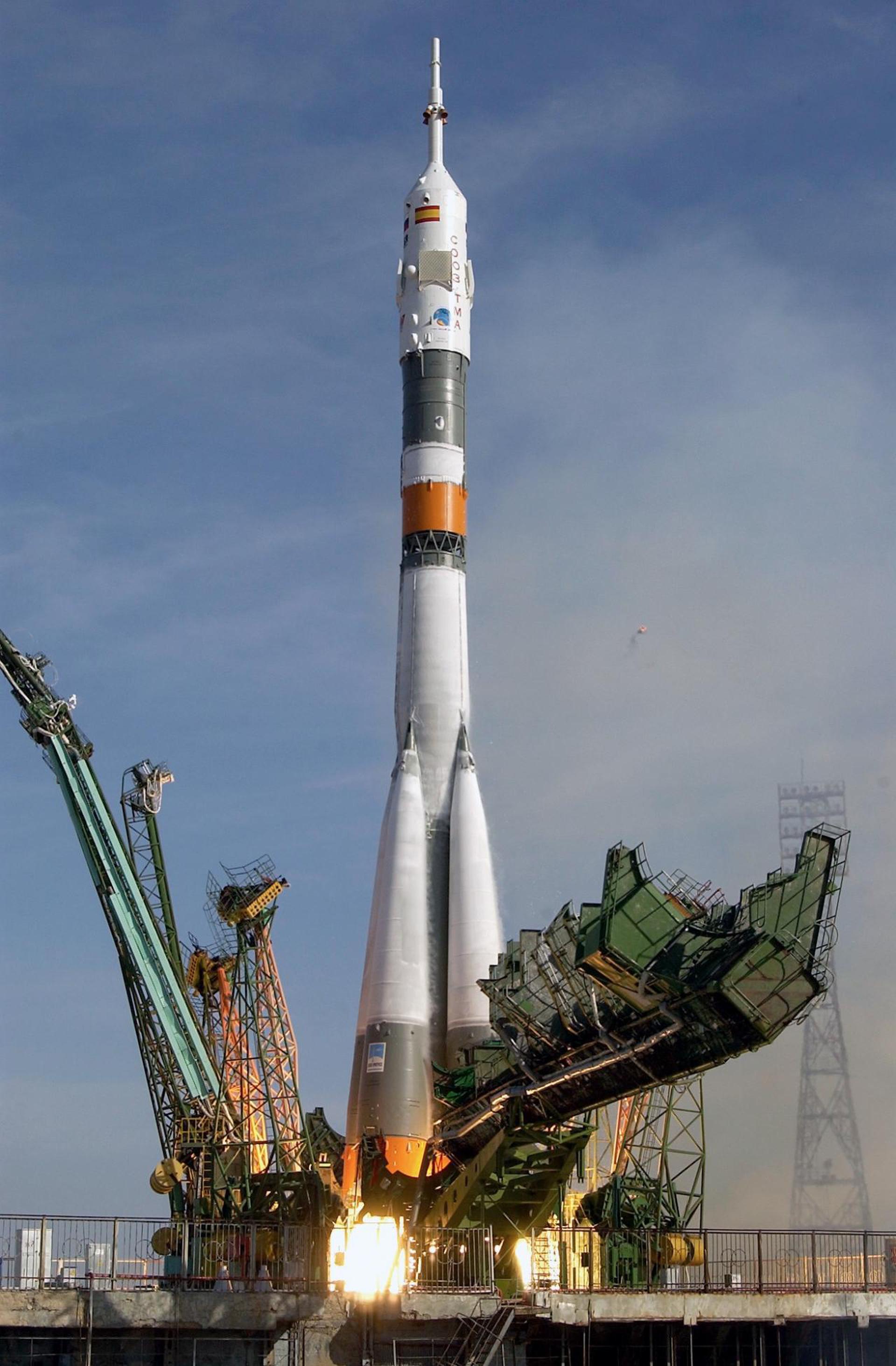
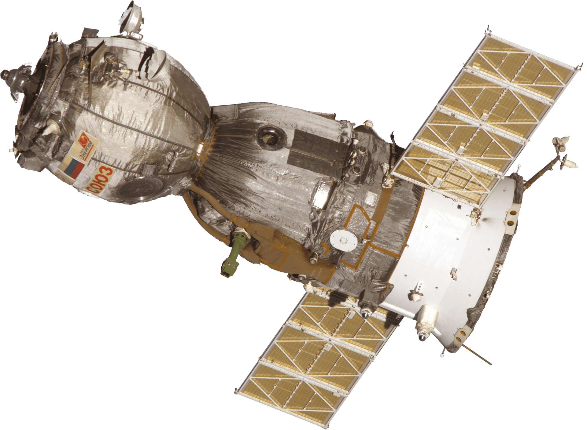
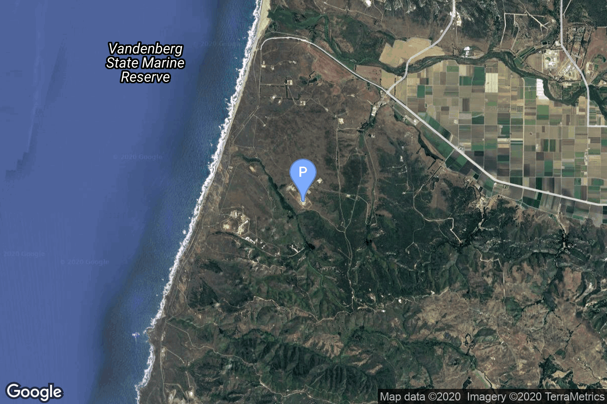
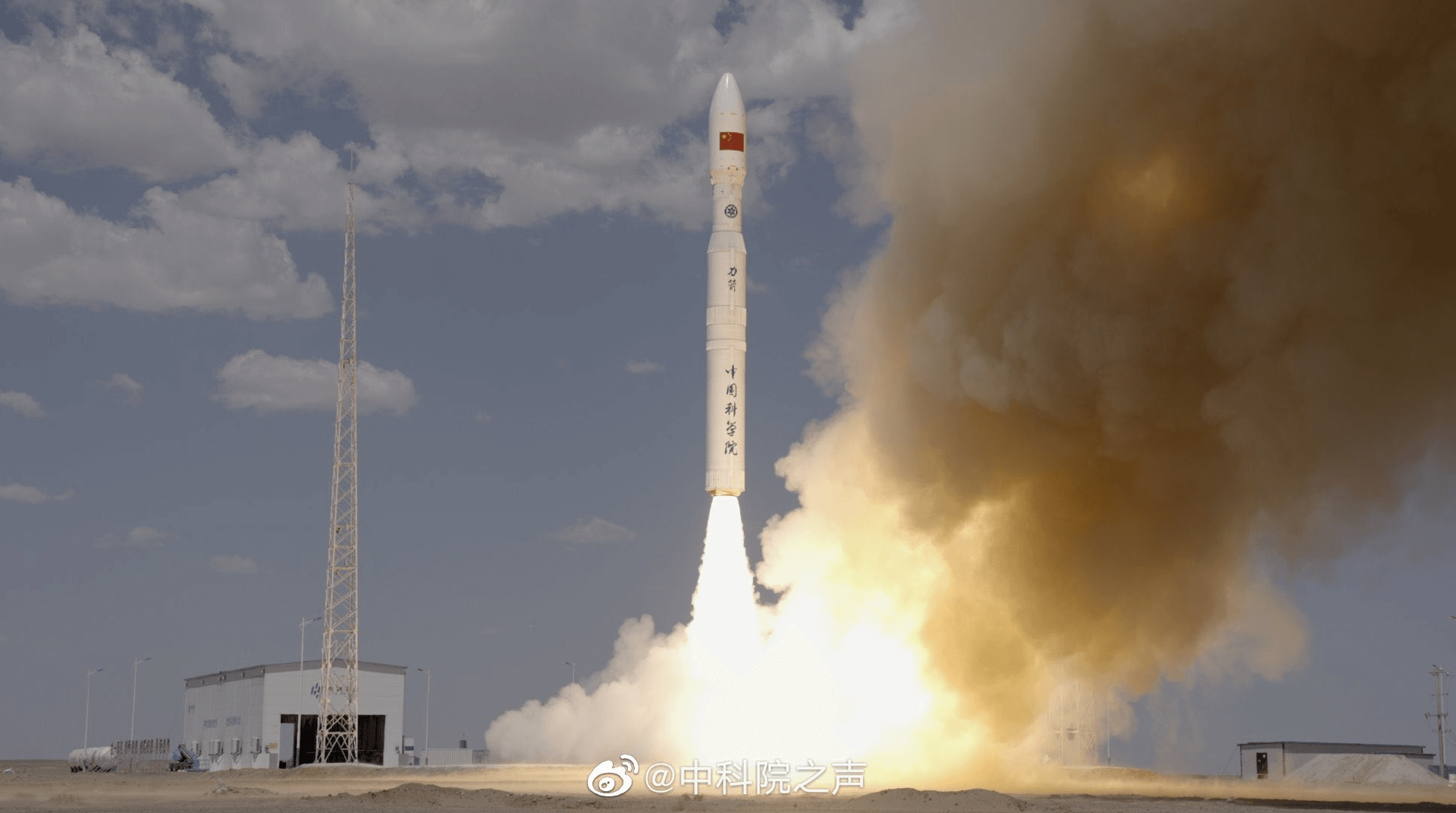
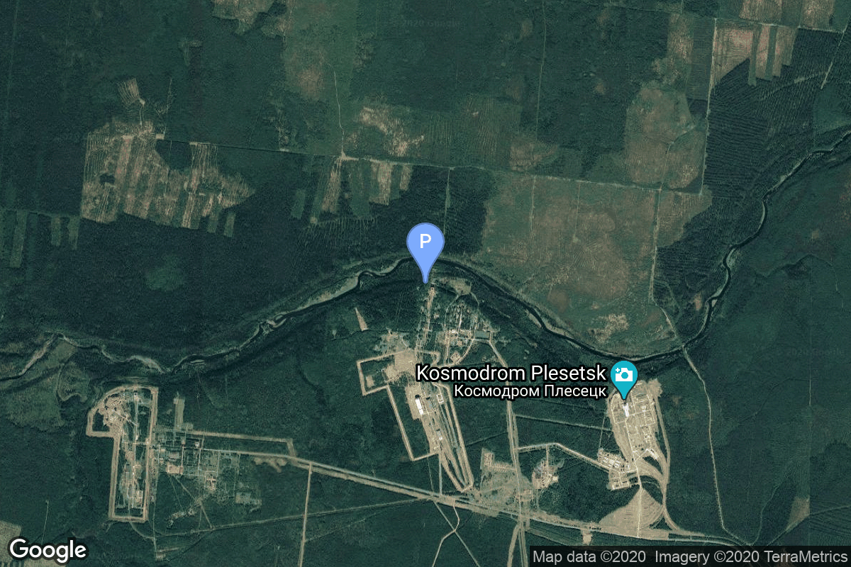
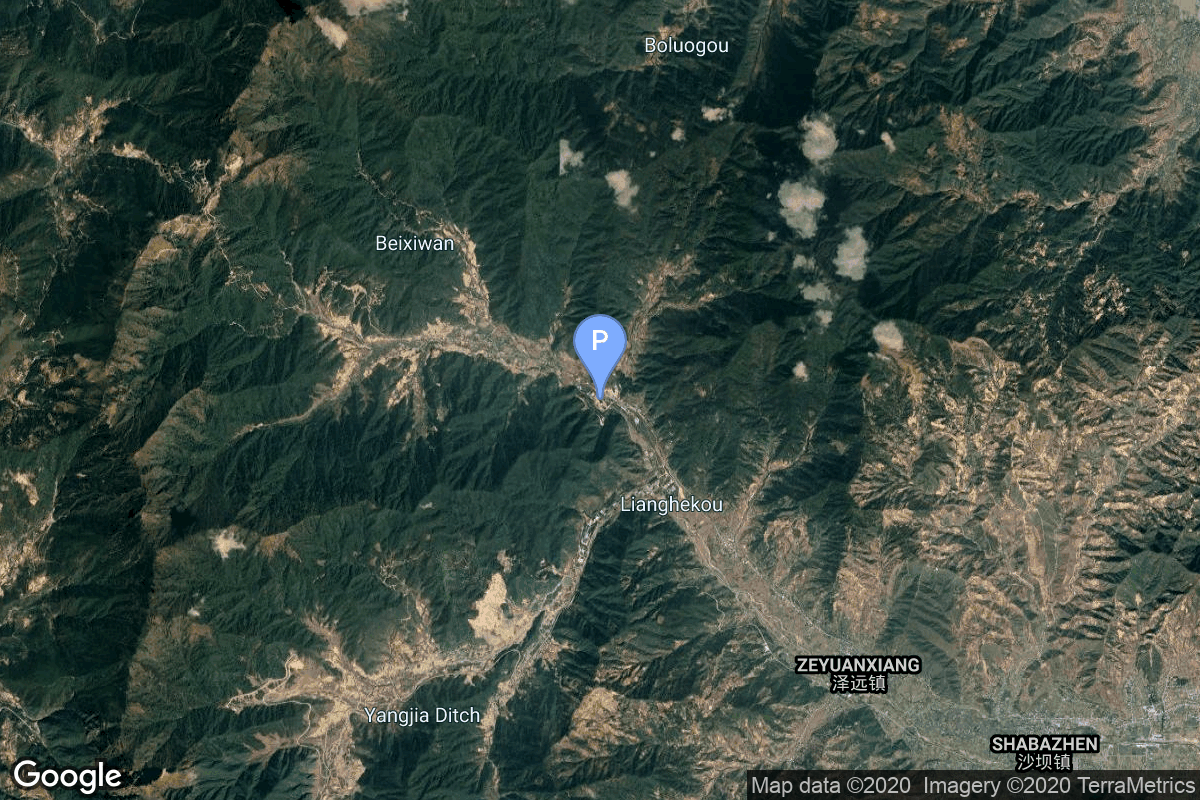
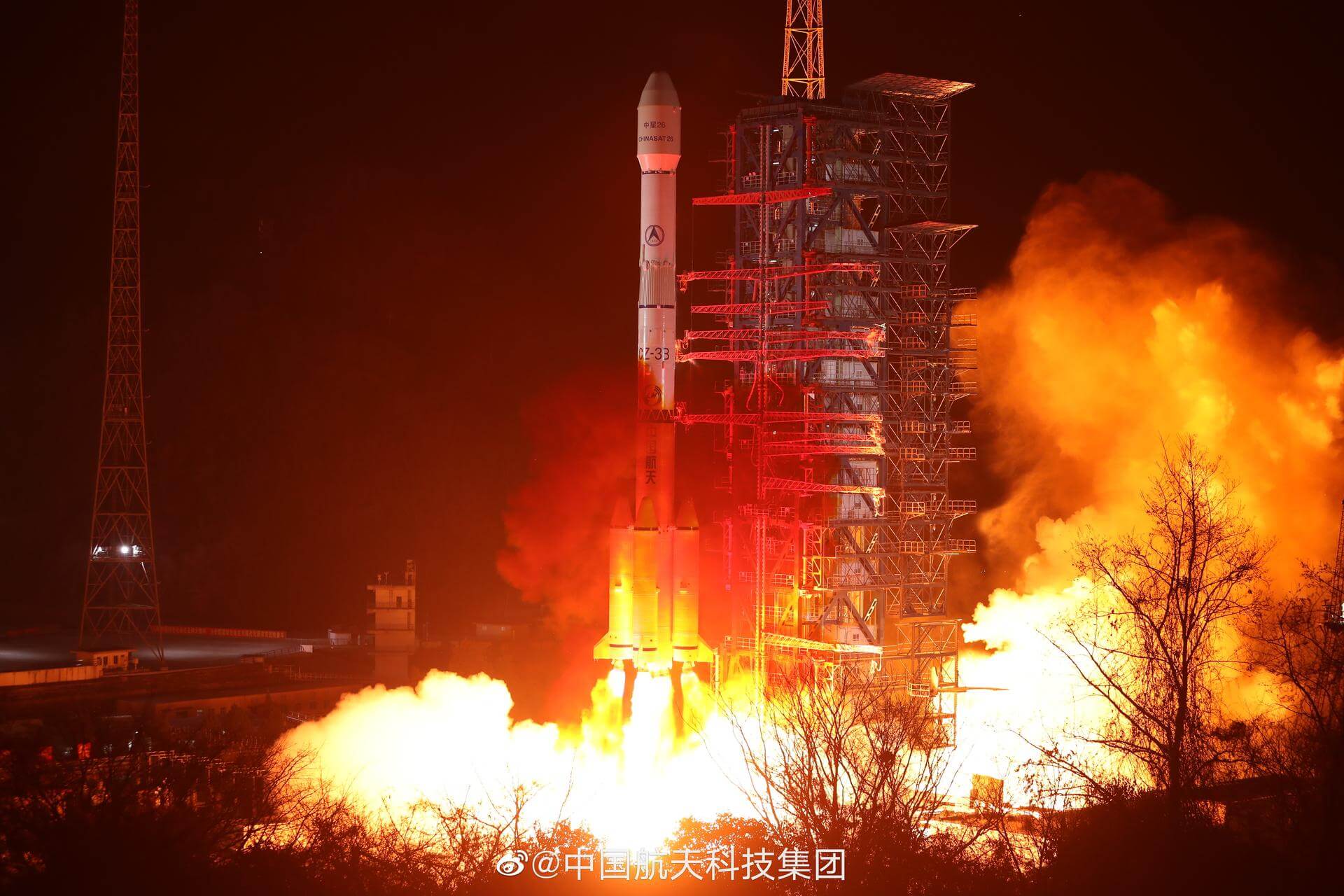
{ "count": 8136, "next": "https://lldev.thespacedevs.com/2.0.0/launch/?format=api&limit=10&offset=6420&ordering=id", "previous": "https://lldev.thespacedevs.com/2.0.0/launch/?format=api&limit=10&offset=6400&ordering=id", "results": [ { "id": "c8ce6c7f-86a8-474e-812f-312b38ac14c0", "url": "https://lldev.thespacedevs.com/2.0.0/launch/c8ce6c7f-86a8-474e-812f-312b38ac14c0/?format=api", "launch_library_id": 1132, "slug": "pslv-xl-chandrayaan-1", "name": "PSLV XL | Chandrayaan-1", "status": { "id": 3, "name": "Success" }, "net": "2008-10-22T00:52:11Z", "window_end": "2008-10-22T00:52:11Z", "window_start": "2008-10-22T00:52:11Z", "inhold": false, "tbdtime": false, "tbddate": false, "probability": null, "holdreason": "", "failreason": "", "hashtag": null, "launch_service_provider": { "id": 31, "url": "https://lldev.thespacedevs.com/2.0.0/agencies/31/?format=api", "name": "Indian Space Research Organization", "type": "Government" }, "rocket": { "id": 1404, "configuration": { "id": 38, "launch_library_id": 38, "url": "https://lldev.thespacedevs.com/2.0.0/config/launcher/38/?format=api", "name": "PSLV-XL", "family": "PSLV", "full_name": "PSLV XL", "variant": "XL" } }, "mission": null, "pad": { "id": 50, "url": "https://lldev.thespacedevs.com/2.0.0/pad/50/?format=api", "agency_id": 31, "name": "Satish Dhawan Space Centre First Launch Pad", "info_url": null, "wiki_url": "https://en.wikipedia.org/wiki/Satish_Dhawan_Space_Centre_First_Launch_Pad", "map_url": "https://www.google.com/maps?q=13.733,80.235", "latitude": "13.733", "longitude": "80.235", "location": { "id": 14, "url": "https://lldev.thespacedevs.com/2.0.0/location/14/?format=api", "name": "Satish Dhawan Space Centre, India", "country_code": "IND", "map_image": "https://thespacedevs-dev.nyc3.digitaloceanspaces.com/media/map_images/location_14_20200803142403.jpg", "total_launch_count": 106, "total_landing_count": 0 }, "map_image": "https://thespacedevs-dev.nyc3.digitaloceanspaces.com/media/map_images/pad_50_20200803143457.jpg", "total_launch_count": 64 }, "webcast_live": false, "image": "https://thespacedevs-dev.nyc3.digitaloceanspaces.com/media/images/pslv_image_20190224012254.jpeg", "infographic": null, "program": [] }, { "id": "c8cf3955-4f92-4c20-8e63-8353a77a2ab3", "url": "https://lldev.thespacedevs.com/2.0.0/launch/c8cf3955-4f92-4c20-8e63-8353a77a2ab3/?format=api", "launch_library_id": 976, "slug": "soyuz-u-soyuz-16", "name": "Soyuz-U | Soyuz 16", "status": { "id": 3, "name": "Success" }, "net": "1974-12-02T09:40:00Z", "window_end": "1974-12-02T09:40:00Z", "window_start": "1974-12-02T09:40:00Z", "inhold": false, "tbdtime": false, "tbddate": false, "probability": null, "holdreason": "", "failreason": null, "hashtag": null, "launch_service_provider": { "id": 66, "url": "https://lldev.thespacedevs.com/2.0.0/agencies/66/?format=api", "name": "Soviet Space Program", "type": "Government" }, "rocket": { "id": 246, "configuration": { "id": 37, "launch_library_id": 35, "url": "https://lldev.thespacedevs.com/2.0.0/config/launcher/37/?format=api", "name": "Soyuz U", "family": "Soyuz", "full_name": "Soyuz U", "variant": "" } }, "mission": { "id": 783, "launch_library_id": 385, "name": "Soyuz 16", "description": "Soyuz 16 was a crewed test flight in a preparation for a joint Soviet-US space flight. The mission began on December 2, 1974, 09:40:00 UTC, with a launch of commander Anatoly Filipchenko and flight engineer Nikolai Rukavishnikov into orbit. During their 6-day stay in orbit, crew tested various new and improved systems and elements, including the new docking system. \nSoyuz 16 ended on December 8, 1974, 08:03:35 UTC with a successful landing.", "launch_designator": null, "type": "Human Exploration", "orbit": { "id": 8, "name": "Low Earth Orbit", "abbrev": "LEO" } }, "pad": { "id": 32, "url": "https://lldev.thespacedevs.com/2.0.0/pad/32/?format=api", "agency_id": null, "name": "1/5", "info_url": null, "wiki_url": "", "map_url": "https://www.google.com/maps?q=45.92,63.342", "latitude": "45.92", "longitude": "63.342", "location": { "id": 15, "url": "https://lldev.thespacedevs.com/2.0.0/location/15/?format=api", "name": "Baikonur Cosmodrome, Republic of Kazakhstan", "country_code": "KAZ", "map_image": "https://thespacedevs-dev.nyc3.digitaloceanspaces.com/media/map_images/location_15_20200803142517.jpg", "total_launch_count": 1565, "total_landing_count": 0 }, "map_image": "https://thespacedevs-dev.nyc3.digitaloceanspaces.com/media/map_images/pad_32_20200803143513.jpg", "total_launch_count": 487 }, "webcast_live": false, "image": "https://thespacedevs-dev.nyc3.digitaloceanspaces.com/media/images/soyuz2520u_image_20190222031023.jpeg", "infographic": null, "program": [ { "id": 8, "url": "https://lldev.thespacedevs.com/2.0.0/program/8/?format=api", "name": "Soyuz", "description": "The Soyuz programme is a human spaceflight programme initiated by the Soviet Union in the early 1960s. The Soyuz spacecraft was originally part of a Moon landing project intended to put a Soviet cosmonaut on the Moon. It was the third Soviet human spaceflight programme after the Vostok and Voskhod programmes.", "agencies": [ { "id": 63, "url": "https://lldev.thespacedevs.com/2.0.0/agencies/63/?format=api", "name": "Russian Federal Space Agency (ROSCOSMOS)", "type": "Government" }, { "id": 66, "url": "https://lldev.thespacedevs.com/2.0.0/agencies/66/?format=api", "name": "Soviet Space Program", "type": "Government" } ], "image_url": "https://thespacedevs-dev.nyc3.digitaloceanspaces.com/media/images/soyuz_program_20201129185543.png", "start_date": "1966-11-28T11:02:00Z", "end_date": null, "info_url": null, "wiki_url": "https://en.wikipedia.org/wiki/Soyuz_programme" } ] }, { "id": "c8d328c0-1f48-45af-943a-5a2ab746f0b3", "url": "https://lldev.thespacedevs.com/2.0.0/launch/c8d328c0-1f48-45af-943a-5a2ab746f0b3/?format=api", "launch_library_id": null, "slug": "atlas-esvs-navstar-7", "name": "Atlas E/SVS | Navstar 7", "status": { "id": 4, "name": "Failure" }, "net": "1981-12-19T01:10:00Z", "window_end": "1981-12-19T01:10:00Z", "window_start": "1981-12-19T01:10:00Z", "inhold": false, "tbdtime": false, "tbddate": false, "probability": null, "holdreason": "", "failreason": "", "hashtag": null, "launch_service_provider": { "id": 161, "url": "https://lldev.thespacedevs.com/2.0.0/agencies/161/?format=api", "name": "United States Air Force", "type": "Government" }, "rocket": { "id": 5351, "configuration": { "id": 243, "launch_library_id": null, "url": "https://lldev.thespacedevs.com/2.0.0/config/launcher/243/?format=api", "name": "Atlas E/SVS", "family": "Atlas", "full_name": "Atlas E/SVS", "variant": "E/SVS" } }, "mission": { "id": 3759, "launch_library_id": null, "name": "Navstar 7", "description": "First generation GPS satellite", "launch_designator": null, "type": "Navigation", "orbit": { "id": 12, "name": "Medium Earth Orbit", "abbrev": "MEO" } }, "pad": { "id": 24, "url": "https://lldev.thespacedevs.com/2.0.0/pad/24/?format=api", "agency_id": 161, "name": "Space Launch Complex 3E", "info_url": null, "wiki_url": "https://en.wikipedia.org/wiki/Vandenberg_Space_Launch_Complex_3#SLC-3E", "map_url": "https://www.google.com/maps?q=34.64,-120.5895", "latitude": "34.64", "longitude": "-120.5895", "location": { "id": 11, "url": "https://lldev.thespacedevs.com/2.0.0/location/11/?format=api", "name": "Vandenberg SFB, CA, USA", "country_code": "USA", "map_image": "https://thespacedevs-dev.nyc3.digitaloceanspaces.com/media/map_images/location_11_20200803142416.jpg", "total_launch_count": 924, "total_landing_count": 37 }, "map_image": "https://thespacedevs-dev.nyc3.digitaloceanspaces.com/media/map_images/pad_24_20200803143552.jpg", "total_launch_count": 48 }, "webcast_live": false, "image": null, "infographic": null, "program": [ { "id": 29, "url": "https://lldev.thespacedevs.com/2.0.0/program/29/?format=api", "name": "Global Positioning System", "description": "The Global Positioning System (GPS), originally Navstar GPS, is a satellite-based radio navigation system owned by the United States government and operated by the United States Space Force. It is one of the global navigation satellite systems (GNSS) that provide geolocation and time information to a GPS receiver anywhere on or near the Earth where there is an unobstructed line of sight to four or more GPS satellites.", "agencies": [ { "id": 1041, "url": "https://lldev.thespacedevs.com/2.0.0/agencies/1041/?format=api", "name": "United States Space Force", "type": "Government" } ], "image_url": "https://thespacedevs-dev.nyc3.digitaloceanspaces.com/media/images/global2520posi_program_20231229182501.png", "start_date": "1978-02-22T00:00:00Z", "end_date": null, "info_url": "https://www.gps.gov/", "wiki_url": "https://en.wikipedia.org/wiki/Global_Positioning_System" } ] }, { "id": "c8d3dde7-f097-4fed-b2e8-bb7c9043d3b3", "url": "https://lldev.thespacedevs.com/2.0.0/launch/c8d3dde7-f097-4fed-b2e8-bb7c9043d3b3/?format=api", "launch_library_id": null, "slug": "long-march-2c-shiyan-weixing-2", "name": "Long March 2C | Shiyan Weixing 2", "status": { "id": 3, "name": "Success" }, "net": "2004-11-18T10:45:00Z", "window_end": "2004-11-18T10:45:00Z", "window_start": "2004-11-18T10:45:00Z", "inhold": false, "tbdtime": false, "tbddate": false, "probability": null, "holdreason": "", "failreason": "", "hashtag": null, "launch_service_provider": { "id": 88, "url": "https://lldev.thespacedevs.com/2.0.0/agencies/88/?format=api", "name": "China Aerospace Science and Technology Corporation", "type": "Government" }, "rocket": { "id": 7207, "configuration": { "id": 61, "launch_library_id": 75, "url": "https://lldev.thespacedevs.com/2.0.0/config/launcher/61/?format=api", "name": "Long March 2C", "family": "Long March", "full_name": "Long March 2C", "variant": "C" } }, "mission": { "id": 5596, "launch_library_id": null, "name": "Shiyan Weixing 2", "description": "Remote Sensing Technology..", "launch_designator": null, "type": "Earth Science", "orbit": { "id": 8, "name": "Low Earth Orbit", "abbrev": "LEO" } }, "pad": { "id": 66, "url": "https://lldev.thespacedevs.com/2.0.0/pad/66/?format=api", "agency_id": 17, "name": "Launch Complex 3 (LC-3/LA-1)", "info_url": null, "wiki_url": "https://en.wikipedia.org/wiki/Xichang_Satellite_Launch_Center", "map_url": "https://www.google.com/maps?q=28.247059,102.029008", "latitude": "28.247059", "longitude": "102.029008", "location": { "id": 16, "url": "https://lldev.thespacedevs.com/2.0.0/location/16/?format=api", "name": "Xichang Satellite Launch Center, People's Republic of China", "country_code": "CHN", "map_image": "https://thespacedevs-dev.nyc3.digitaloceanspaces.com/media/map_images/location_16_20200803142513.jpg", "total_launch_count": 243, "total_landing_count": 0 }, "map_image": "https://thespacedevs-dev.nyc3.digitaloceanspaces.com/media/map_images/pad_66_20200803143611.jpg", "total_launch_count": 109 }, "webcast_live": false, "image": "https://thespacedevs-dev.nyc3.digitaloceanspaces.com/media/images/long_march_2_image_20230803100234.jpeg", "infographic": null, "program": [] }, { "id": "c8d6f024-0a6a-4b07-8c05-97648be4d827", "url": "https://lldev.thespacedevs.com/2.0.0/launch/c8d6f024-0a6a-4b07-8c05-97648be4d827/?format=api", "launch_library_id": null, "slug": "kinetica-1-9-satellites", "name": "Kinetica 1 | 9 satellites", "status": { "id": 3, "name": "Success" }, "net": "2025-12-10T04:03:00Z", "window_end": "2025-12-10T04:15:00Z", "window_start": "2025-12-10T03:54:00Z", "inhold": false, "tbdtime": false, "tbddate": false, "probability": null, "holdreason": "", "failreason": "", "hashtag": null, "launch_service_provider": { "id": 1040, "url": "https://lldev.thespacedevs.com/2.0.0/agencies/1040/?format=api", "name": "CAS Space", "type": "Commercial" }, "rocket": { "id": 8835, "configuration": { "id": 483, "launch_library_id": null, "url": "https://lldev.thespacedevs.com/2.0.0/config/launcher/483/?format=api", "name": "Kinetica 1", "family": "", "full_name": "Kinetica 1", "variant": "" } }, "mission": { "id": 7426, "launch_library_id": null, "name": "9 satellites", "description": "Share ride of 9 satellites to sun-synchronous orbit:\r\n\r\n* Satellite 813 (United Arab Emirates)\r\n* Jilin-1 Gaofen 07B-01/07C-01/07D-01\r\n* Dongpo-15 \r\n* Yixing-2 09\r\n* Yixian-A\r\n* SPNEX (Egypt)\r\n* Slipper2Sat (Nepal)", "launch_designator": null, "type": "Earth Science", "orbit": { "id": 17, "name": "Sun-Synchronous Orbit", "abbrev": "SSO" } }, "pad": { "id": 151, "url": "https://lldev.thespacedevs.com/2.0.0/pad/151/?format=api", "agency_id": null, "name": "Launch Area 130", "info_url": null, "wiki_url": "https://en.wikipedia.org/wiki/Jiuquan_Satellite_Launch_Center", "map_url": "https://www.google.com/maps?q=40.8182,100.22514", "latitude": "40.8182", "longitude": "100.22514", "location": { "id": 17, "url": "https://lldev.thespacedevs.com/2.0.0/location/17/?format=api", "name": "Jiuquan Satellite Launch Center, People's Republic of China", "country_code": "CHN", "map_image": "https://thespacedevs-dev.nyc3.digitaloceanspaces.com/media/map_images/location_17_20200803142429.jpg", "total_launch_count": 303, "total_landing_count": 3 }, "map_image": "https://thespacedevs-dev.nyc3.digitaloceanspaces.com/media/map_images/pad_151_20200803143425.jpg", "total_launch_count": 16 }, "webcast_live": false, "image": "https://thespacedevs-dev.nyc3.digitaloceanspaces.com/media/images/zhongke-1a_image_20220912002218.png", "infographic": null, "program": [] }, { "id": "c8ddd987-fada-481e-8e61-95f0ca98dd0a", "url": "https://lldev.thespacedevs.com/2.0.0/launch/c8ddd987-fada-481e-8e61-95f0ca98dd0a/?format=api", "launch_library_id": null, "slug": "thorad-slv-2g-agena-d-kh-4a-48", "name": "Thorad SLV-2G Agena D | KH-4A 48", "status": { "id": 3, "name": "Success" }, "net": "1968-09-18T21:32:00Z", "window_end": "1968-09-18T21:32:00Z", "window_start": "1968-09-18T21:32:00Z", "inhold": false, "tbdtime": false, "tbddate": false, "probability": null, "holdreason": "", "failreason": null, "hashtag": null, "launch_service_provider": { "id": 161, "url": "https://lldev.thespacedevs.com/2.0.0/agencies/161/?format=api", "name": "United States Air Force", "type": "Government" }, "rocket": { "id": 3822, "configuration": { "id": 418, "launch_library_id": null, "url": "https://lldev.thespacedevs.com/2.0.0/config/launcher/418/?format=api", "name": "Thorad SLV-2G Agena D", "family": "Thor", "full_name": "Thorad SLV-2G Agena D", "variant": "SLV-2G Agena D" } }, "mission": { "id": 2240, "launch_library_id": null, "name": "KH-4A 48", "description": "The KH-4A (Keyhole-4A) was the fifth optical reconnaissance satellite version in the Corona-program.", "launch_designator": null, "type": "Government/Top Secret", "orbit": { "id": 8, "name": "Low Earth Orbit", "abbrev": "LEO" } }, "pad": { "id": 96, "url": "https://lldev.thespacedevs.com/2.0.0/pad/96/?format=api", "agency_id": 161, "name": "Space Launch Complex 1E", "info_url": null, "wiki_url": "https://en.wikipedia.org/wiki/Vandenberg_Space_Launch_Complex_1", "map_url": "https://www.google.com/maps?q=34.756,-120.6263", "latitude": "34.756", "longitude": "-120.6263", "location": { "id": 11, "url": "https://lldev.thespacedevs.com/2.0.0/location/11/?format=api", "name": "Vandenberg SFB, CA, USA", "country_code": "USA", "map_image": "https://thespacedevs-dev.nyc3.digitaloceanspaces.com/media/map_images/location_11_20200803142416.jpg", "total_launch_count": 924, "total_landing_count": 37 }, "map_image": "https://thespacedevs-dev.nyc3.digitaloceanspaces.com/media/map_images/pad_96_20200803143221.jpg", "total_launch_count": 45 }, "webcast_live": false, "image": "https://thespacedevs-dev.nyc3.digitaloceanspaces.com/media/images/thorad-slv2g_ag_image_20251102061406.jpg", "infographic": null, "program": [] }, { "id": "c8e2c9c2-c1b4-42fa-82d8-bfe45b99ebd1", "url": "https://lldev.thespacedevs.com/2.0.0/launch/c8e2c9c2-c1b4-42fa-82d8-bfe45b99ebd1/?format=api", "launch_library_id": null, "slug": "soyuz-u-zenit-6u-53", "name": "Soyuz U | Zenit-6U 53", "status": { "id": 3, "name": "Success" }, "net": "1982-02-16T11:10:00Z", "window_end": "1982-02-16T11:10:00Z", "window_start": "1982-02-16T11:10:00Z", "inhold": false, "tbdtime": false, "tbddate": false, "probability": null, "holdreason": "", "failreason": null, "hashtag": null, "launch_service_provider": { "id": 66, "url": "https://lldev.thespacedevs.com/2.0.0/agencies/66/?format=api", "name": "Soviet Space Program", "type": "Government" }, "rocket": { "id": 5365, "configuration": { "id": 37, "launch_library_id": 35, "url": "https://lldev.thespacedevs.com/2.0.0/config/launcher/37/?format=api", "name": "Soyuz U", "family": "Soyuz", "full_name": "Soyuz U", "variant": "" } }, "mission": { "id": 3772, "launch_library_id": null, "name": "Zenit-6U 53", "description": "Optical film-return reconnaissance satellite", "launch_designator": null, "type": "Government/Top Secret", "orbit": { "id": 8, "name": "Low Earth Orbit", "abbrev": "LEO" } }, "pad": { "id": 168, "url": "https://lldev.thespacedevs.com/2.0.0/pad/168/?format=api", "agency_id": null, "name": "41/1", "info_url": null, "wiki_url": "https://en.wikipedia.org/wiki/Plesetsk_Cosmodrome", "map_url": "https://www.google.com/maps?q=62.941,40.526806", "latitude": "62.941", "longitude": "40.526806", "location": { "id": 6, "url": "https://lldev.thespacedevs.com/2.0.0/location/6/?format=api", "name": "Plesetsk Cosmodrome, Russian Federation", "country_code": "RUS", "map_image": "https://thespacedevs-dev.nyc3.digitaloceanspaces.com/media/map_images/location_6_20200803142434.jpg", "total_launch_count": 1689, "total_landing_count": 0 }, "map_image": "https://thespacedevs-dev.nyc3.digitaloceanspaces.com/media/map_images/pad_168_20200803143446.jpg", "total_launch_count": 310 }, "webcast_live": false, "image": "https://thespacedevs-dev.nyc3.digitaloceanspaces.com/media/images/soyuz2520u_image_20190222031023.jpeg", "infographic": null, "program": [] }, { "id": "c8e75624-fed4-4296-a127-6a192142d57a", "url": "https://lldev.thespacedevs.com/2.0.0/launch/c8e75624-fed4-4296-a127-6a192142d57a/?format=api", "launch_library_id": null, "slug": "long-march-3b-tiantong-1-02", "name": "Long March 3B | Tiantong-1-02", "status": { "id": 3, "name": "Success" }, "net": "2020-11-12T15:59:04Z", "window_end": "2020-11-12T17:10:00Z", "window_start": "2020-11-12T15:51:00Z", "inhold": false, "tbdtime": false, "tbddate": false, "probability": null, "holdreason": "", "failreason": "", "hashtag": null, "launch_service_provider": { "id": 88, "url": "https://lldev.thespacedevs.com/2.0.0/agencies/88/?format=api", "name": "China Aerospace Science and Technology Corporation", "type": "Government" }, "rocket": { "id": 2807, "configuration": { "id": 50, "launch_library_id": 69, "url": "https://lldev.thespacedevs.com/2.0.0/config/launcher/50/?format=api", "name": "Long March 3B/E", "family": "Long March", "full_name": "Long March 3B/E", "variant": "B/E" } }, "mission": { "id": 1207, "launch_library_id": null, "name": "Tiantong-1-02", "description": "Designed by the CAST Institute (China Academy of Space Technology), a subsidiary of the Chinese aerospace group CASC and specialized in spacecraft design, the Tiantong-1 02 satellite will be operated by China Satellite Communications Co. Ltd, another CASC subsidiary which owns about ten communication satellites such as the ChinaStar and APStar.\r\n\r\nTiantong-1 02 is the second satellite of China's first mobile communication network.\r\n\r\nIt uses a Chinese DFH-4 satellite platform, and, according to its manufacturer CAST, has the highest payload mass utilization rate compared to other satellites of the same family.\r\n\r\nThe project was launched in 2010 following the 2008 earthquake in Sichuan, where almost all ground communication networks were paralyzed. China had no mobile communication satellites at the time, so it had to lease services from foreign countries, such as Inmarsat in Europe, for its rescue teams.", "launch_designator": null, "type": "Communications", "orbit": { "id": 2, "name": "Geostationary Transfer Orbit", "abbrev": "GTO" } }, "pad": { "id": 45, "url": "https://lldev.thespacedevs.com/2.0.0/pad/45/?format=api", "agency_id": null, "name": "Launch Complex 2 (LC-2)", "info_url": null, "wiki_url": "https://en.wikipedia.org/wiki/Xichang_Satellite_Launch_Center", "map_url": "https://www.google.com/maps?q=28.245504,102.026768", "latitude": "28.245504", "longitude": "102.026768", "location": { "id": 16, "url": "https://lldev.thespacedevs.com/2.0.0/location/16/?format=api", "name": "Xichang Satellite Launch Center, People's Republic of China", "country_code": "CHN", "map_image": "https://thespacedevs-dev.nyc3.digitaloceanspaces.com/media/map_images/location_16_20200803142513.jpg", "total_launch_count": 243, "total_landing_count": 0 }, "map_image": "https://thespacedevs-dev.nyc3.digitaloceanspaces.com/media/map_images/pad_45_20200803143520.jpg", "total_launch_count": 126 }, "webcast_live": false, "image": "https://thespacedevs-dev.nyc3.digitaloceanspaces.com/media/images/long2520march_image_20230907120240.jpeg", "infographic": null, "program": [] }, { "id": "c8eb5156-bcd5-426f-9a58-79db437e23e4", "url": "https://lldev.thespacedevs.com/2.0.0/launch/c8eb5156-bcd5-426f-9a58-79db437e23e4/?format=api", "launch_library_id": null, "slug": "soyuz-u-yantar-4k2-16", "name": "Soyuz U | Yantar-4K2 16", "status": { "id": 3, "name": "Success" }, "net": "1985-08-16T15:10:00Z", "window_end": "1985-08-16T15:10:00Z", "window_start": "1985-08-16T15:10:00Z", "inhold": false, "tbdtime": false, "tbddate": false, "probability": null, "holdreason": "", "failreason": null, "hashtag": null, "launch_service_provider": { "id": 66, "url": "https://lldev.thespacedevs.com/2.0.0/agencies/66/?format=api", "name": "Soviet Space Program", "type": "Government" }, "rocket": { "id": 5774, "configuration": { "id": 37, "launch_library_id": 35, "url": "https://lldev.thespacedevs.com/2.0.0/config/launcher/37/?format=api", "name": "Soyuz U", "family": "Soyuz", "full_name": "Soyuz U", "variant": "" } }, "mission": { "id": 4173, "launch_library_id": null, "name": "Yantar-4K2 16", "description": "Film-return reconnaissance satellite", "launch_designator": null, "type": "Government/Top Secret", "orbit": { "id": 8, "name": "Low Earth Orbit", "abbrev": "LEO" } }, "pad": { "id": 168, "url": "https://lldev.thespacedevs.com/2.0.0/pad/168/?format=api", "agency_id": null, "name": "41/1", "info_url": null, "wiki_url": "https://en.wikipedia.org/wiki/Plesetsk_Cosmodrome", "map_url": "https://www.google.com/maps?q=62.941,40.526806", "latitude": "62.941", "longitude": "40.526806", "location": { "id": 6, "url": "https://lldev.thespacedevs.com/2.0.0/location/6/?format=api", "name": "Plesetsk Cosmodrome, Russian Federation", "country_code": "RUS", "map_image": "https://thespacedevs-dev.nyc3.digitaloceanspaces.com/media/map_images/location_6_20200803142434.jpg", "total_launch_count": 1689, "total_landing_count": 0 }, "map_image": "https://thespacedevs-dev.nyc3.digitaloceanspaces.com/media/map_images/pad_168_20200803143446.jpg", "total_launch_count": 310 }, "webcast_live": false, "image": "https://thespacedevs-dev.nyc3.digitaloceanspaces.com/media/images/soyuz2520u_image_20190222031023.jpeg", "infographic": null, "program": [] }, { "id": "c8ec5a62-7879-4fb0-b2dc-0c5603bd679f", "url": "https://lldev.thespacedevs.com/2.0.0/launch/c8ec5a62-7879-4fb0-b2dc-0c5603bd679f/?format=api", "launch_library_id": 1370, "slug": "soyuz-stbfregat-o3b-fm13-16", "name": "Soyuz STB/Fregat | O3b FM13-16", "status": { "id": 3, "name": "Success" }, "net": "2018-03-09T17:10:06Z", "window_end": "2018-03-09T17:10:06Z", "window_start": "2018-03-09T17:10:06Z", "inhold": false, "tbdtime": false, "tbddate": false, "probability": null, "holdreason": "", "failreason": null, "hashtag": null, "launch_service_provider": { "id": 115, "url": "https://lldev.thespacedevs.com/2.0.0/agencies/115/?format=api", "name": "Arianespace", "type": "Commercial" }, "rocket": { "id": 2083, "configuration": { "id": 171, "launch_library_id": 52, "url": "https://lldev.thespacedevs.com/2.0.0/config/launcher/171/?format=api", "name": "Soyuz STB", "family": "Soyuz", "full_name": "Soyuz STB Fregat", "variant": "STB/Fregat" } }, "mission": { "id": 771, "launch_library_id": 652, "name": "O3b FM13-16", "description": "The O3b Satellite Constellation is a satellite constellation designed for telecommunications and data backhaul from remote locations.", "launch_designator": null, "type": "Communications", "orbit": { "id": 12, "name": "Medium Earth Orbit", "abbrev": "MEO" } }, "pad": { "id": 81, "url": "https://lldev.thespacedevs.com/2.0.0/pad/81/?format=api", "agency_id": 115, "name": "Soyuz Launch Complex", "info_url": null, "wiki_url": "https://en.wikipedia.org/wiki/Ensemble_de_Lancement_Soyouz", "map_url": "https://www.google.com/maps?q=5.3019,-52.8346", "latitude": "5.3019", "longitude": "-52.8346", "location": { "id": 13, "url": "https://lldev.thespacedevs.com/2.0.0/location/13/?format=api", "name": "Guiana Space Centre, French Guiana", "country_code": "GUF", "map_image": "https://thespacedevs-dev.nyc3.digitaloceanspaces.com/media/map_images/location_13_20200803142412.jpg", "total_launch_count": 336, "total_landing_count": 0 }, "map_image": "https://thespacedevs-dev.nyc3.digitaloceanspaces.com/media/map_images/pad_81_20200803143601.jpg", "total_launch_count": 26 }, "webcast_live": false, "image": "https://thespacedevs-dev.nyc3.digitaloceanspaces.com/media/images/soyuz_stb_image_20211130181029.jpeg", "infographic": null, "program": [] } ] }