Launch List
API endpoint that returns all Launch objects or a single launch.
EXAMPLE - /launch/
GET: Return a list of all Launch objects.
FILTERS: Fields - 'name', 'id(s)', 'lsp_id', 'lsp_name', 'serial_number', 'launcher_config__id', 'rocket__spacecraftflight__spacecraft__name'
MODE: 'normal', 'list', 'detailed' EXAMPLE: ?mode=list
SEARCH: Searches through the launch name, rocket name, launch agency, mission name & spacecraft name. EXAMPLE - ?search=SpaceX
GET /2.0.0/launch/?format=api&offset=6370&ordering=-net
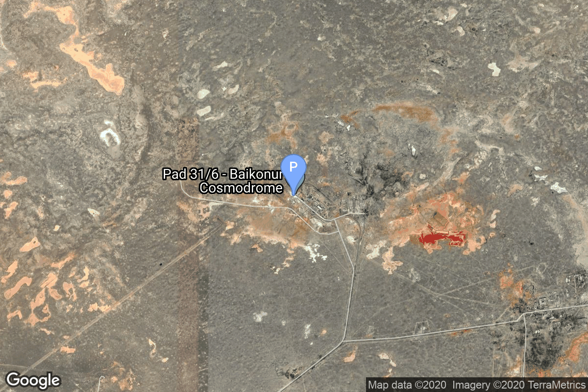
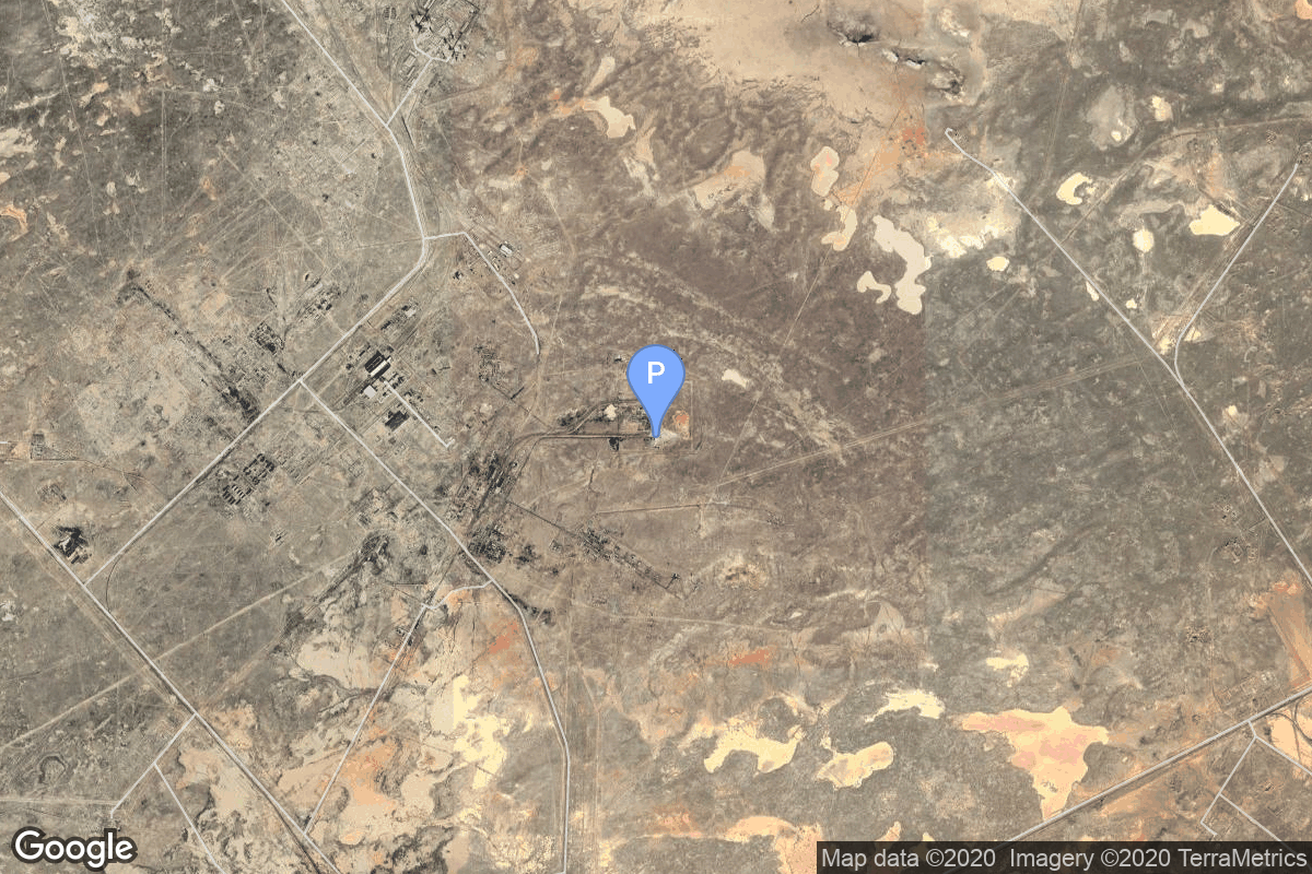
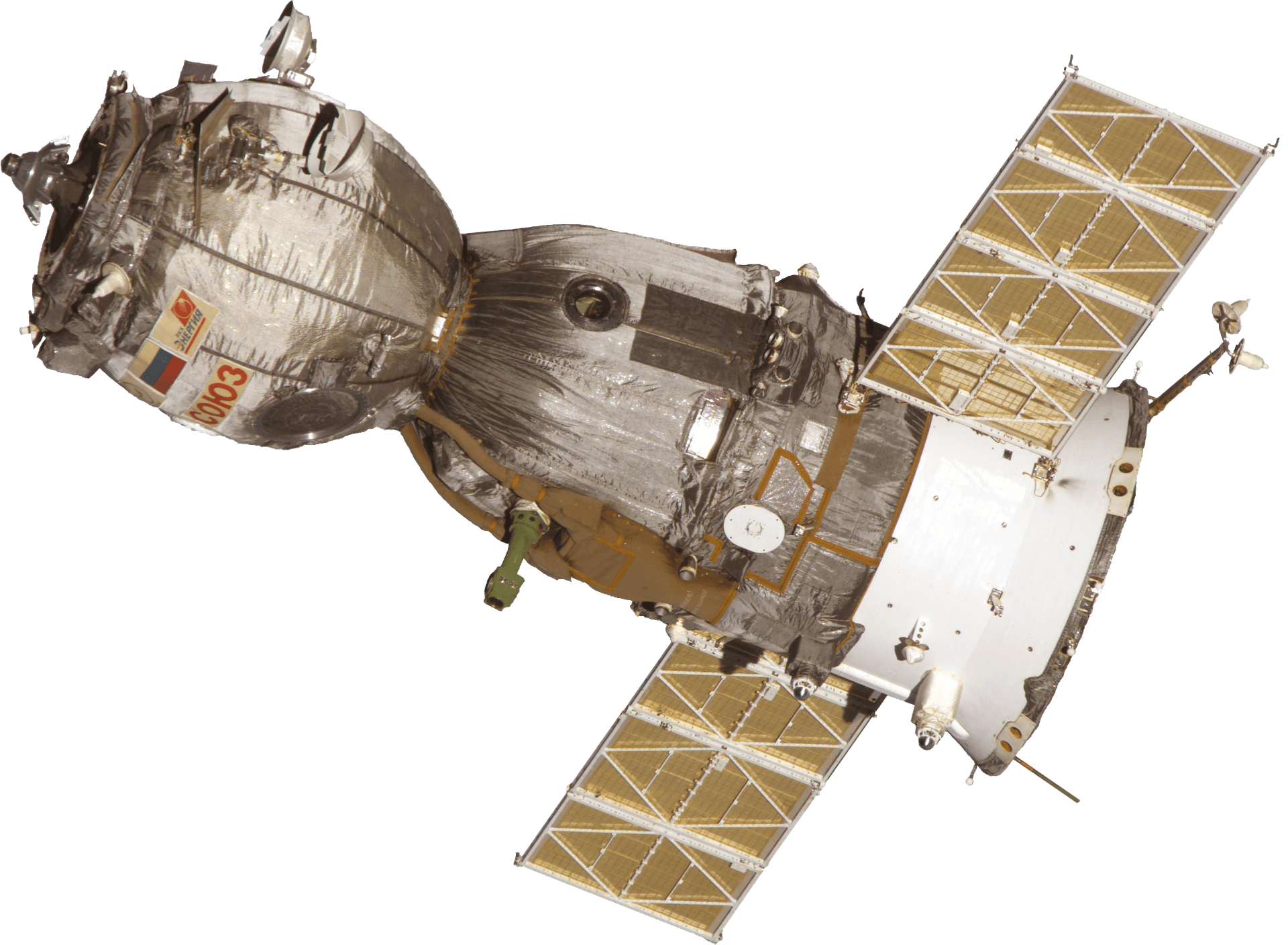
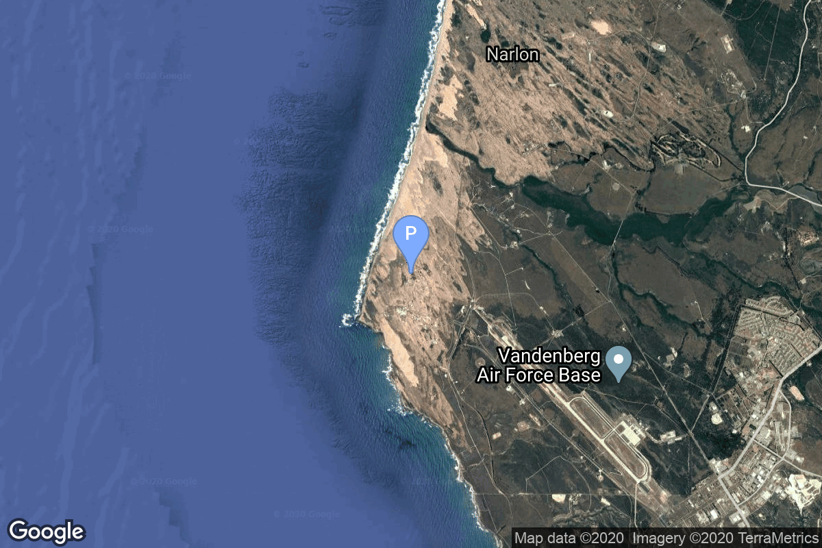
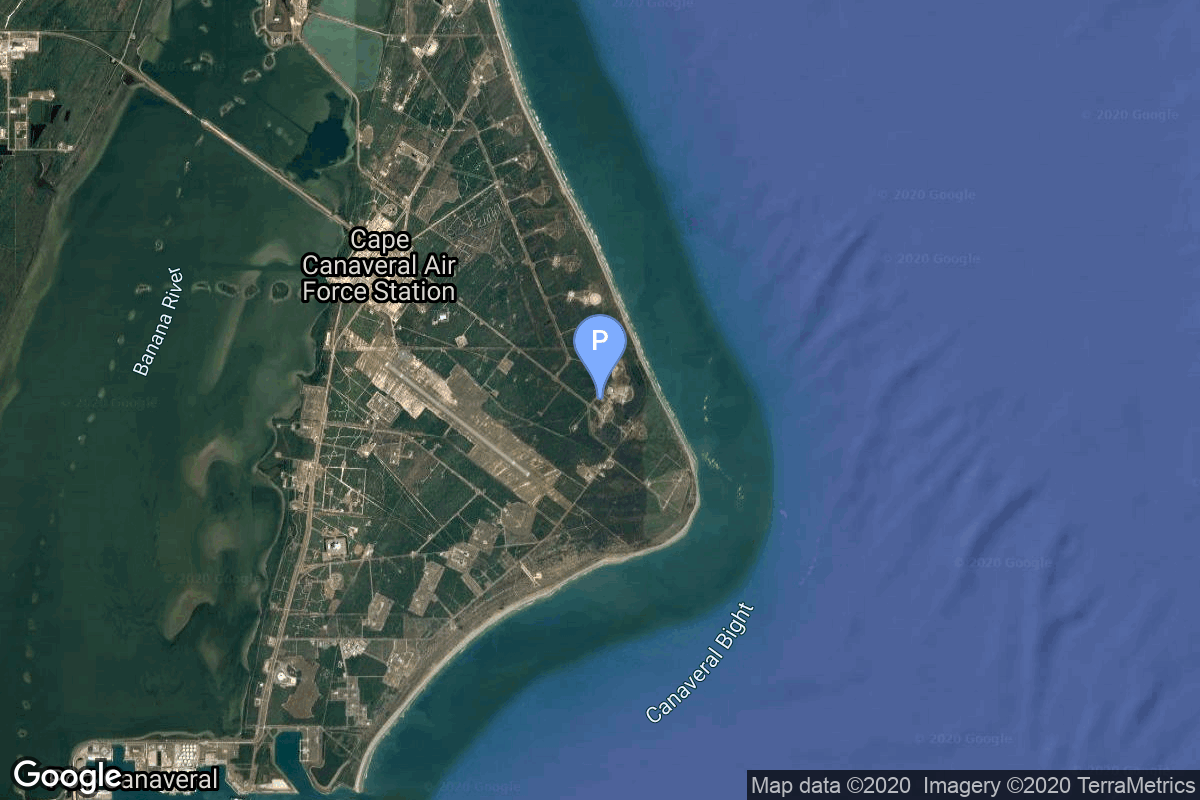
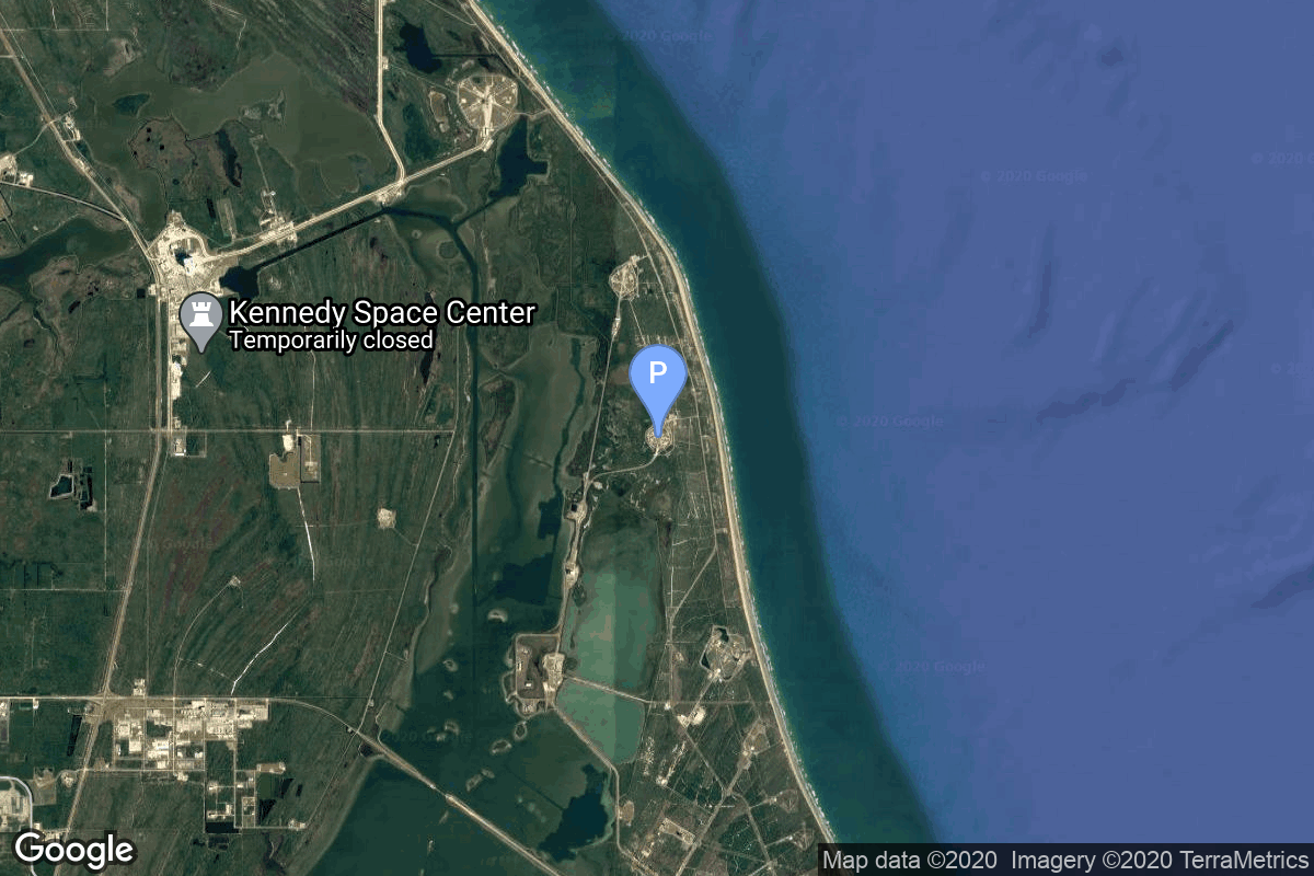
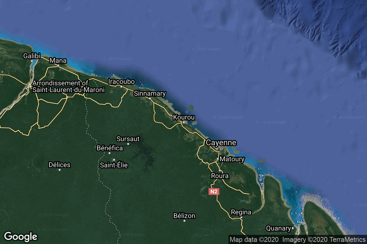
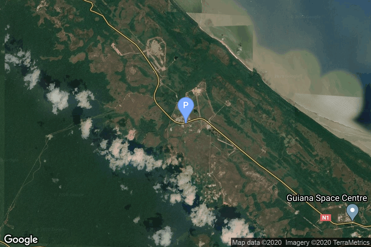
{ "count": 8136, "next": "https://lldev.thespacedevs.com/2.0.0/launch/?format=api&limit=10&offset=6380&ordering=-net", "previous": "https://lldev.thespacedevs.com/2.0.0/launch/?format=api&limit=10&offset=6360&ordering=-net", "results": [ { "id": "495c0101-603d-406b-8b20-2a504db676ba", "url": "https://lldev.thespacedevs.com/2.0.0/launch/495c0101-603d-406b-8b20-2a504db676ba/?format=api", "launch_library_id": null, "slug": "voskhod-zenit-4mk-42", "name": "Voskhod | Zenit-4MK 42", "status": { "id": 3, "name": "Success" }, "net": "1975-05-28T07:29:59Z", "window_end": "1975-05-28T07:29:59Z", "window_start": "1975-05-28T07:29:59Z", "inhold": false, "tbdtime": false, "tbddate": false, "probability": null, "holdreason": "", "failreason": null, "hashtag": null, "launch_service_provider": { "id": 66, "url": "https://lldev.thespacedevs.com/2.0.0/agencies/66/?format=api", "name": "Soviet Space Program", "type": "Government" }, "rocket": { "id": 4586, "configuration": { "id": 104, "launch_library_id": 138, "url": "https://lldev.thespacedevs.com/2.0.0/config/launcher/104/?format=api", "name": "Voskhod", "family": "R-7", "full_name": "Voskhod", "variant": "Voskhod" } }, "mission": { "id": 3004, "launch_library_id": null, "name": "Zenit-4MK 42", "description": "High resolution optical reconnaissance satellite of the Vostok-based Zenit family.", "launch_designator": null, "type": "Government/Top Secret", "orbit": { "id": 8, "name": "Low Earth Orbit", "abbrev": "LEO" } }, "pad": { "id": 20, "url": "https://lldev.thespacedevs.com/2.0.0/pad/20/?format=api", "agency_id": null, "name": "31/6", "info_url": null, "wiki_url": "https://en.wikipedia.org/wiki/Baikonur_Cosmodrome_Site_31", "map_url": "https://www.google.com/maps?q=45.996034,63.564003", "latitude": "45.996034", "longitude": "63.564003", "location": { "id": 15, "url": "https://lldev.thespacedevs.com/2.0.0/location/15/?format=api", "name": "Baikonur Cosmodrome, Republic of Kazakhstan", "country_code": "KAZ", "map_image": "https://thespacedevs-dev.nyc3.digitaloceanspaces.com/media/map_images/location_15_20200803142517.jpg", "total_launch_count": 1565, "total_landing_count": 0 }, "map_image": "https://thespacedevs-dev.nyc3.digitaloceanspaces.com/media/map_images/pad_20_20200803143516.jpg", "total_launch_count": 430 }, "webcast_live": false, "image": "https://thespacedevs-dev.nyc3.digitaloceanspaces.com/media/images/voskhod_during__image_20251102062248.jpg", "infographic": null, "program": [] }, { "id": "7537ebb1-068f-49d5-bf15-e91cdffe10f6", "url": "https://lldev.thespacedevs.com/2.0.0/launch/7537ebb1-068f-49d5-bf15-e91cdffe10f6/?format=api", "launch_library_id": null, "slug": "kosmos-3m-strela-1m-89-96", "name": "Kosmos-3M | Strela-1M 89-96", "status": { "id": 3, "name": "Success" }, "net": "1975-05-28T00:25:01Z", "window_end": "1975-05-28T00:25:01Z", "window_start": "1975-05-28T00:25:01Z", "inhold": false, "tbdtime": false, "tbddate": false, "probability": null, "holdreason": "", "failreason": null, "hashtag": null, "launch_service_provider": { "id": 66, "url": "https://lldev.thespacedevs.com/2.0.0/agencies/66/?format=api", "name": "Soviet Space Program", "type": "Government" }, "rocket": { "id": 4585, "configuration": { "id": 102, "launch_library_id": 122, "url": "https://lldev.thespacedevs.com/2.0.0/config/launcher/102/?format=api", "name": "Kosmos-3M", "family": "Kosmos", "full_name": "Kosmos-3M (11K65M)", "variant": "-3M" } }, "mission": { "id": 3003, "launch_library_id": null, "name": "Strela-1M 89-96", "description": "Military communications satellites", "launch_designator": null, "type": "Government/Top Secret", "orbit": { "id": 8, "name": "Low Earth Orbit", "abbrev": "LEO" } }, "pad": { "id": 28, "url": "https://lldev.thespacedevs.com/2.0.0/pad/28/?format=api", "agency_id": 163, "name": "132/1 (132L)", "info_url": null, "wiki_url": "", "map_url": "https://www.google.com/maps?q=62.883229,40.868549", "latitude": "62.883229", "longitude": "40.868549", "location": { "id": 6, "url": "https://lldev.thespacedevs.com/2.0.0/location/6/?format=api", "name": "Plesetsk Cosmodrome, Russian Federation", "country_code": "RUS", "map_image": "https://thespacedevs-dev.nyc3.digitaloceanspaces.com/media/map_images/location_6_20200803142434.jpg", "total_launch_count": 1689, "total_landing_count": 0 }, "map_image": "https://thespacedevs-dev.nyc3.digitaloceanspaces.com/media/map_images/pad_28_20200803143254.jpg", "total_launch_count": 212 }, "webcast_live": false, "image": "https://thespacedevs-dev.nyc3.digitaloceanspaces.com/media/images/kosmos-3m_durin_image_20251101171325.jpg", "infographic": null, "program": [] }, { "id": "6b9a736e-e8f3-4db1-8922-7070243498e7", "url": "https://lldev.thespacedevs.com/2.0.0/launch/6b9a736e-e8f3-4db1-8922-7070243498e7/?format=api", "launch_library_id": 973, "slug": "soyuz-soyuz-18", "name": "Soyuz | Soyuz 18", "status": { "id": 3, "name": "Success" }, "net": "1975-05-24T14:58:10Z", "window_end": "1975-05-24T14:58:10Z", "window_start": "1975-05-24T14:58:10Z", "inhold": false, "tbdtime": false, "tbddate": false, "probability": null, "holdreason": "", "failreason": "", "hashtag": null, "launch_service_provider": { "id": 66, "url": "https://lldev.thespacedevs.com/2.0.0/agencies/66/?format=api", "name": "Soviet Space Program", "type": "Government" }, "rocket": { "id": 250, "configuration": { "id": 96, "launch_library_id": 134, "url": "https://lldev.thespacedevs.com/2.0.0/config/launcher/96/?format=api", "name": "Soyuz", "family": "Soyuz", "full_name": "Soyuz", "variant": "" } }, "mission": { "id": 72, "launch_library_id": 390, "name": "Soyuz 18", "description": "Soyuz 18 was the second and final crew to man the Salyut 4 space station. The mission began on May 24th 1975 at 1458:10 UTC, launching Commander Pyotr Klimuk & Flight Engineer Vitali Sevastyanov into orbit docking with Salyut 4 2 days later. They stayed on the station for 63 days setting a new Soviet space endurance record at the time. Klimuk & Sevastyanov were the back-up crew for the failed Soyuz 18a mission so their mission goals included completing the goals of Soyuz 18a, continuing the work of Soyuz 17 & fixing or replacing equipment. They replaced a gas analyzer, switched a pumping condenser in the water regeneration system with a hand pump & fixed a spectrometer. Mostly the experiments were biological & medical but they also studied stars, planets, earth and its atmosphere with roughly 2000 photographs of Earth and 600 of the sun taken. The mission concluded with a safe landing on June 26th 1975 at 1418:18 UTC.", "launch_designator": null, "type": "Human Exploration", "orbit": { "id": 8, "name": "Low Earth Orbit", "abbrev": "LEO" } }, "pad": { "id": 32, "url": "https://lldev.thespacedevs.com/2.0.0/pad/32/?format=api", "agency_id": null, "name": "1/5", "info_url": null, "wiki_url": "", "map_url": "https://www.google.com/maps?q=45.92,63.342", "latitude": "45.92", "longitude": "63.342", "location": { "id": 15, "url": "https://lldev.thespacedevs.com/2.0.0/location/15/?format=api", "name": "Baikonur Cosmodrome, Republic of Kazakhstan", "country_code": "KAZ", "map_image": "https://thespacedevs-dev.nyc3.digitaloceanspaces.com/media/map_images/location_15_20200803142517.jpg", "total_launch_count": 1565, "total_landing_count": 0 }, "map_image": "https://thespacedevs-dev.nyc3.digitaloceanspaces.com/media/map_images/pad_32_20200803143513.jpg", "total_launch_count": 487 }, "webcast_live": false, "image": null, "infographic": null, "program": [ { "id": 8, "url": "https://lldev.thespacedevs.com/2.0.0/program/8/?format=api", "name": "Soyuz", "description": "The Soyuz programme is a human spaceflight programme initiated by the Soviet Union in the early 1960s. The Soyuz spacecraft was originally part of a Moon landing project intended to put a Soviet cosmonaut on the Moon. It was the third Soviet human spaceflight programme after the Vostok and Voskhod programmes.", "agencies": [ { "id": 63, "url": "https://lldev.thespacedevs.com/2.0.0/agencies/63/?format=api", "name": "Russian Federal Space Agency (ROSCOSMOS)", "type": "Government" }, { "id": 66, "url": "https://lldev.thespacedevs.com/2.0.0/agencies/66/?format=api", "name": "Soviet Space Program", "type": "Government" } ], "image_url": "https://thespacedevs-dev.nyc3.digitaloceanspaces.com/media/images/soyuz_program_20201129185543.png", "start_date": "1966-11-28T11:02:00Z", "end_date": null, "info_url": null, "wiki_url": "https://en.wikipedia.org/wiki/Soyuz_programme" }, { "id": 23, "url": "https://lldev.thespacedevs.com/2.0.0/program/23/?format=api", "name": "Salyut", "description": "The Salyut programme was the first space station programme, undertaken by the Soviet Union. It involved a series of four crewed scientific research space stations and two crewed military reconnaissance space stations over a period of 15 years, from 1971 to 1986.", "agencies": [ { "id": 66, "url": "https://lldev.thespacedevs.com/2.0.0/agencies/66/?format=api", "name": "Soviet Space Program", "type": "Government" } ], "image_url": "https://thespacedevs-dev.nyc3.digitaloceanspaces.com/media/images/salyut_program_20230506090532.png", "start_date": "1971-04-19T01:40:00Z", "end_date": "1986-07-16T12:34:05Z", "info_url": null, "wiki_url": "https://en.wikipedia.org/wiki/Salyut_programme" } ] }, { "id": "a89b375f-ce8b-4ff5-b9aa-0258fa0e837c", "url": "https://lldev.thespacedevs.com/2.0.0/launch/a89b375f-ce8b-4ff5-b9aa-0258fa0e837c/?format=api", "launch_library_id": null, "slug": "thor-burner-2a-dmsp-5c-f2", "name": "Thor Burner 2A | DMSP-5C F2", "status": { "id": 3, "name": "Success" }, "net": "1975-05-24T03:22:41Z", "window_end": "1975-05-24T03:22:41Z", "window_start": "1975-05-24T03:22:41Z", "inhold": false, "tbdtime": false, "tbddate": false, "probability": null, "holdreason": "", "failreason": null, "hashtag": null, "launch_service_provider": { "id": 161, "url": "https://lldev.thespacedevs.com/2.0.0/agencies/161/?format=api", "name": "United States Air Force", "type": "Government" }, "rocket": { "id": 4584, "configuration": { "id": 396, "launch_library_id": null, "url": "https://lldev.thespacedevs.com/2.0.0/config/launcher/396/?format=api", "name": "Thor Burner 2A", "family": "Thor", "full_name": "Thor Burner 2A", "variant": "Burner 2A" } }, "mission": { "id": 3002, "launch_library_id": null, "name": "DMSP-5C F2", "description": "Military meteorological satellite", "launch_designator": null, "type": "Government/Top Secret", "orbit": { "id": 17, "name": "Sun-Synchronous Orbit", "abbrev": "SSO" } }, "pad": { "id": 171, "url": "https://lldev.thespacedevs.com/2.0.0/pad/171/?format=api", "agency_id": null, "name": "Space Launch Complex 10W", "info_url": null, "wiki_url": "https://en.wikipedia.org/wiki/Vandenberg_Air_Force_Base_Space_Launch_Complex_10", "map_url": "https://www.google.com/maps?q=34.7652778,-120.6244162", "latitude": "34.7652778", "longitude": "-120.6244162", "location": { "id": 11, "url": "https://lldev.thespacedevs.com/2.0.0/location/11/?format=api", "name": "Vandenberg SFB, CA, USA", "country_code": "USA", "map_image": "https://thespacedevs-dev.nyc3.digitaloceanspaces.com/media/map_images/location_11_20200803142416.jpg", "total_launch_count": 924, "total_landing_count": 37 }, "map_image": "https://thespacedevs-dev.nyc3.digitaloceanspaces.com/media/map_images/pad_171_20200803143449.jpg", "total_launch_count": 31 }, "webcast_live": false, "image": "https://thespacedevs-dev.nyc3.digitaloceanspaces.com/media/images/thor-lv2f_burne_image_20251109071855.png", "infographic": null, "program": [] }, { "id": "cc6ec3d6-4eff-4dff-a1b9-7dafe332d8d1", "url": "https://lldev.thespacedevs.com/2.0.0/launch/cc6ec3d6-4eff-4dff-a1b9-7dafe332d8d1/?format=api", "launch_library_id": null, "slug": "atlas-slv-3d-centaur-intelsat-iv-f1", "name": "Atlas SLV-3D Centaur | INTELSAT IV F1", "status": { "id": 3, "name": "Success" }, "net": "1975-05-22T22:04:00Z", "window_end": "1975-05-22T22:04:00Z", "window_start": "1975-05-22T22:04:00Z", "inhold": false, "tbdtime": false, "tbddate": false, "probability": null, "holdreason": "", "failreason": null, "hashtag": null, "launch_service_provider": { "id": 161, "url": "https://lldev.thespacedevs.com/2.0.0/agencies/161/?format=api", "name": "United States Air Force", "type": "Government" }, "rocket": { "id": 4583, "configuration": { "id": 261, "launch_library_id": null, "url": "https://lldev.thespacedevs.com/2.0.0/config/launcher/261/?format=api", "name": "Atlas SLV-3D Centaur", "family": "Atlas", "full_name": "Atlas SLV-3D Centaur", "variant": "SLV-3D Centaur" } }, "mission": { "id": 3001, "launch_library_id": null, "name": "INTELSAT IV F1", "description": "Geostationary communications satellite developed by Hughes Aircraft Company", "launch_designator": null, "type": "Communications", "orbit": { "id": 1, "name": "Geostationary Orbit", "abbrev": "Direct-GEO" } }, "pad": { "id": 121, "url": "https://lldev.thespacedevs.com/2.0.0/pad/121/?format=api", "agency_id": 161, "name": "Launch Complex 36A", "info_url": null, "wiki_url": "https://en.wikipedia.org/wiki/Cape_Canaveral_Launch_Complex_36", "map_url": "https://www.google.com/maps?q=28.4705556,-80.542194", "latitude": "28.4705556", "longitude": "-80.542194", "location": { "id": 12, "url": "https://lldev.thespacedevs.com/2.0.0/location/12/?format=api", "name": "Cape Canaveral SFS, FL, USA", "country_code": "USA", "map_image": "https://thespacedevs-dev.nyc3.digitaloceanspaces.com/media/map_images/location_12_20200803142519.jpg", "total_launch_count": 1132, "total_landing_count": 83 }, "map_image": "https://thespacedevs-dev.nyc3.digitaloceanspaces.com/media/map_images/pad_121_20200803143231.jpg", "total_launch_count": 71 }, "webcast_live": false, "image": "https://thespacedevs-dev.nyc3.digitaloceanspaces.com/media/images/atlas_slv-3d_li_image_20251103141732.jpeg", "infographic": null, "program": [] }, { "id": "25c72154-57f9-4537-9e25-c48e32d56abd", "url": "https://lldev.thespacedevs.com/2.0.0/launch/25c72154-57f9-4537-9e25-c48e32d56abd/?format=api", "launch_library_id": null, "slug": "voskhod-zenit-2m-57", "name": "Voskhod | Zenit-2M 57", "status": { "id": 3, "name": "Success" }, "net": "1975-05-21T06:59:32Z", "window_end": "1975-05-21T06:59:32Z", "window_start": "1975-05-21T06:59:32Z", "inhold": false, "tbdtime": false, "tbddate": false, "probability": null, "holdreason": "", "failreason": null, "hashtag": null, "launch_service_provider": { "id": 66, "url": "https://lldev.thespacedevs.com/2.0.0/agencies/66/?format=api", "name": "Soviet Space Program", "type": "Government" }, "rocket": { "id": 4582, "configuration": { "id": 104, "launch_library_id": 138, "url": "https://lldev.thespacedevs.com/2.0.0/config/launcher/104/?format=api", "name": "Voskhod", "family": "R-7", "full_name": "Voskhod", "variant": "Voskhod" } }, "mission": { "id": 3000, "launch_library_id": null, "name": "Zenit-2M 57", "description": "The soviet Zenit-2M (Gektor, 11F690) was an improved version of the Zenit-2 area surveillance reconnaissance satellite. It was part of the Vostok-based Zenit-family.", "launch_designator": null, "type": "Government/Top Secret", "orbit": { "id": 8, "name": "Low Earth Orbit", "abbrev": "LEO" } }, "pad": { "id": 20, "url": "https://lldev.thespacedevs.com/2.0.0/pad/20/?format=api", "agency_id": null, "name": "31/6", "info_url": null, "wiki_url": "https://en.wikipedia.org/wiki/Baikonur_Cosmodrome_Site_31", "map_url": "https://www.google.com/maps?q=45.996034,63.564003", "latitude": "45.996034", "longitude": "63.564003", "location": { "id": 15, "url": "https://lldev.thespacedevs.com/2.0.0/location/15/?format=api", "name": "Baikonur Cosmodrome, Republic of Kazakhstan", "country_code": "KAZ", "map_image": "https://thespacedevs-dev.nyc3.digitaloceanspaces.com/media/map_images/location_15_20200803142517.jpg", "total_launch_count": 1565, "total_landing_count": 0 }, "map_image": "https://thespacedevs-dev.nyc3.digitaloceanspaces.com/media/map_images/pad_20_20200803143516.jpg", "total_launch_count": 430 }, "webcast_live": false, "image": "https://thespacedevs-dev.nyc3.digitaloceanspaces.com/media/images/voskhod_during__image_20251102062248.jpg", "infographic": null, "program": [] }, { "id": "966f28d9-3b35-4843-afe8-63f87534450a", "url": "https://lldev.thespacedevs.com/2.0.0/launch/966f28d9-3b35-4843-afe8-63f87534450a/?format=api", "launch_library_id": null, "slug": "titan-iiic-dscs-2-5-6", "name": "Titan IIIC | DSCS-2 5 & 6", "status": { "id": 3, "name": "Success" }, "net": "1975-05-20T14:03:48Z", "window_end": "1975-05-20T14:03:48Z", "window_start": "1975-05-20T14:03:48Z", "inhold": false, "tbdtime": false, "tbddate": false, "probability": null, "holdreason": "", "failreason": null, "hashtag": null, "launch_service_provider": { "id": 161, "url": "https://lldev.thespacedevs.com/2.0.0/agencies/161/?format=api", "name": "United States Air Force", "type": "Government" }, "rocket": { "id": 4581, "configuration": { "id": 439, "launch_library_id": null, "url": "https://lldev.thespacedevs.com/2.0.0/config/launcher/439/?format=api", "name": "Titan IIIC", "family": "Titan", "full_name": "Titan IIIC", "variant": "IIIC" } }, "mission": { "id": 2999, "launch_library_id": null, "name": "DSCS-2 5 & 6", "description": "Satellites designed to provide secure voice and data communications for the US military.", "launch_designator": null, "type": "Government/Top Secret", "orbit": { "id": 1, "name": "Geostationary Orbit", "abbrev": "Direct-GEO" } }, "pad": { "id": 80, "url": "https://lldev.thespacedevs.com/2.0.0/pad/80/?format=api", "agency_id": 121, "name": "Space Launch Complex 40", "info_url": null, "wiki_url": "https://en.wikipedia.org/wiki/Cape_Canaveral_Air_Force_Station_Space_Launch_Complex_40", "map_url": "https://www.google.com/maps?q=28.56194122,-80.57735736", "latitude": "28.56194122", "longitude": "-80.57735736", "location": { "id": 12, "url": "https://lldev.thespacedevs.com/2.0.0/location/12/?format=api", "name": "Cape Canaveral SFS, FL, USA", "country_code": "USA", "map_image": "https://thespacedevs-dev.nyc3.digitaloceanspaces.com/media/map_images/location_12_20200803142519.jpg", "total_launch_count": 1132, "total_landing_count": 83 }, "map_image": "https://thespacedevs-dev.nyc3.digitaloceanspaces.com/media/map_images/pad_80_20200803143323.jpg", "total_launch_count": 404 }, "webcast_live": false, "image": "https://thespacedevs-dev.nyc3.digitaloceanspaces.com/media/images/titan_iii-c_lau_image_20251103140641.jpeg", "infographic": null, "program": [] }, { "id": "d3234425-8b9c-4761-b62c-de9468ee4ff1", "url": "https://lldev.thespacedevs.com/2.0.0/launch/d3234425-8b9c-4761-b62c-de9468ee4ff1/?format=api", "launch_library_id": null, "slug": "diamant-bp4-castor-pollux", "name": "Diamant BP4 | Castor & Pollux", "status": { "id": 3, "name": "Success" }, "net": "1975-05-17T10:32:00Z", "window_end": "1975-05-17T10:32:00Z", "window_start": "1975-05-17T10:32:00Z", "inhold": false, "tbdtime": false, "tbddate": false, "probability": null, "holdreason": "", "failreason": null, "hashtag": null, "launch_service_provider": { "id": 46, "url": "https://lldev.thespacedevs.com/2.0.0/agencies/46/?format=api", "name": "National Center of Space Research", "type": "Government" }, "rocket": { "id": 4580, "configuration": { "id": 313, "launch_library_id": null, "url": "https://lldev.thespacedevs.com/2.0.0/config/launcher/313/?format=api", "name": "Diamant BP4", "family": "Diamant", "full_name": "Diamant BP4", "variant": "BP4" } }, "mission": { "id": 2998, "launch_library_id": null, "name": "Castor & Pollux", "description": "Dual French scientific satellites", "launch_designator": null, "type": "Earth Science", "orbit": { "id": 8, "name": "Low Earth Orbit", "abbrev": "LEO" } }, "pad": { "id": 125, "url": "https://lldev.thespacedevs.com/2.0.0/pad/125/?format=api", "agency_id": 46, "name": "Diamant Launch Area", "info_url": null, "wiki_url": null, "map_url": "https://www.google.com/maps?q=5.2222222,-52.7758051", "latitude": "5.2222222", "longitude": "-52.7758051", "location": { "id": 13, "url": "https://lldev.thespacedevs.com/2.0.0/location/13/?format=api", "name": "Guiana Space Centre, French Guiana", "country_code": "GUF", "map_image": "https://thespacedevs-dev.nyc3.digitaloceanspaces.com/media/map_images/location_13_20200803142412.jpg", "total_launch_count": 336, "total_landing_count": 0 }, "map_image": "https://thespacedevs-dev.nyc3.digitaloceanspaces.com/media/map_images/pad_125_20200803143236.jpg", "total_launch_count": 8 }, "webcast_live": false, "image": null, "infographic": null, "program": [] }, { "id": "342c04d7-2a32-45d4-bb6a-bb297a131128", "url": "https://lldev.thespacedevs.com/2.0.0/launch/342c04d7-2a32-45d4-bb6a-bb297a131128/?format=api", "launch_library_id": null, "slug": "delta-2914-anik-a3", "name": "Delta 2914 | Anik A3", "status": { "id": 3, "name": "Success" }, "net": "1975-05-07T23:35:26Z", "window_end": "1975-05-07T23:35:26Z", "window_start": "1975-05-07T23:35:26Z", "inhold": false, "tbdtime": false, "tbddate": false, "probability": null, "holdreason": "", "failreason": null, "hashtag": null, "launch_service_provider": { "id": 161, "url": "https://lldev.thespacedevs.com/2.0.0/agencies/161/?format=api", "name": "United States Air Force", "type": "Government" }, "rocket": { "id": 4579, "configuration": { "id": 287, "launch_library_id": null, "url": "https://lldev.thespacedevs.com/2.0.0/config/launcher/287/?format=api", "name": "Delta 2914", "family": "Delta", "full_name": "Delta 2914", "variant": "2914" } }, "mission": { "id": 2997, "launch_library_id": null, "name": "Anik A3", "description": "Geosynchronous communications satellite developed by Hughes Aircraft Company.", "launch_designator": null, "type": "Communications", "orbit": { "id": 3, "name": "Geosynchronous Orbit", "abbrev": "GSO" } }, "pad": { "id": 1, "url": "https://lldev.thespacedevs.com/2.0.0/pad/1/?format=api", "agency_id": null, "name": "Space Launch Complex 17B", "info_url": null, "wiki_url": "https://en.wikipedia.org/wiki/Cape_Canaveral_Space_Launch_Complex_17", "map_url": "https://www.google.com/maps?q=28.4458,-80.5657", "latitude": "28.4458", "longitude": "-80.5657", "location": { "id": 12, "url": "https://lldev.thespacedevs.com/2.0.0/location/12/?format=api", "name": "Cape Canaveral SFS, FL, USA", "country_code": "USA", "map_image": "https://thespacedevs-dev.nyc3.digitaloceanspaces.com/media/map_images/location_12_20200803142519.jpg", "total_launch_count": 1132, "total_landing_count": 83 }, "map_image": "https://thespacedevs-dev.nyc3.digitaloceanspaces.com/media/map_images/pad_1_20200803143208.jpg", "total_launch_count": 132 }, "webcast_live": false, "image": "https://thespacedevs-dev.nyc3.digitaloceanspaces.com/media/images/delta_2910_image_20231231105214.jpeg", "infographic": null, "program": [] }, { "id": "67763790-ed5f-4954-92d7-d35312987370", "url": "https://lldev.thespacedevs.com/2.0.0/launch/67763790-ed5f-4954-92d7-d35312987370/?format=api", "launch_library_id": null, "slug": "scout-f-1-sas-3", "name": "Scout F-1 | SAS 3", "status": { "id": 3, "name": "Success" }, "net": "1975-05-07T22:45:01Z", "window_end": "1975-05-07T22:45:01Z", "window_start": "1975-05-07T22:45:01Z", "inhold": false, "tbdtime": false, "tbddate": false, "probability": null, "holdreason": "", "failreason": null, "hashtag": null, "launch_service_provider": { "id": 44, "url": "https://lldev.thespacedevs.com/2.0.0/agencies/44/?format=api", "name": "National Aeronautics and Space Administration", "type": "Government" }, "rocket": { "id": 4578, "configuration": { "id": 362, "launch_library_id": null, "url": "https://lldev.thespacedevs.com/2.0.0/config/launcher/362/?format=api", "name": "Scout F-1", "family": "Scout", "full_name": "Scout F-1", "variant": "F-1" } }, "mission": { "id": 2996, "launch_library_id": null, "name": "SAS 3", "description": "Astronomy research satellite", "launch_designator": null, "type": "Astrophysics", "orbit": { "id": 8, "name": "Low Earth Orbit", "abbrev": "LEO" } }, "pad": { "id": 155, "url": "https://lldev.thespacedevs.com/2.0.0/pad/155/?format=api", "agency_id": null, "name": "San Marco platform", "info_url": null, "wiki_url": "https://en.wikipedia.org/wiki/Broglio_Space_Center", "map_url": "https://www.google.com/maps?q=-2.9383333,40.210306", "latitude": "-2.9383333", "longitude": "40.210306", "location": { "id": 151, "url": "https://lldev.thespacedevs.com/2.0.0/location/151/?format=api", "name": "Broglio Space Center, Kenya", "country_code": "ITA", "map_image": "https://thespacedevs-dev.nyc3.digitaloceanspaces.com/media/map_images/location_151_20200803142409.jpg", "total_launch_count": 9, "total_landing_count": 0 }, "map_image": "https://thespacedevs-dev.nyc3.digitaloceanspaces.com/media/map_images/pad_155_20200803143349.jpg", "total_launch_count": 9 }, "webcast_live": false, "image": null, "infographic": null, "program": [] } ] }