Launch List
API endpoint that returns all Launch objects or a single launch.
EXAMPLE - /launch/
GET: Return a list of all Launch objects.
FILTERS: Fields - 'name', 'id(s)', 'lsp_id', 'lsp_name', 'serial_number', 'launcher_config__id', 'rocket__spacecraftflight__spacecraft__name'
MODE: 'normal', 'list', 'detailed' EXAMPLE: ?mode=list
SEARCH: Searches through the launch name, rocket name, launch agency, mission name & spacecraft name. EXAMPLE - ?search=SpaceX
GET /2.0.0/launch/?format=api&offset=6360&ordering=-id
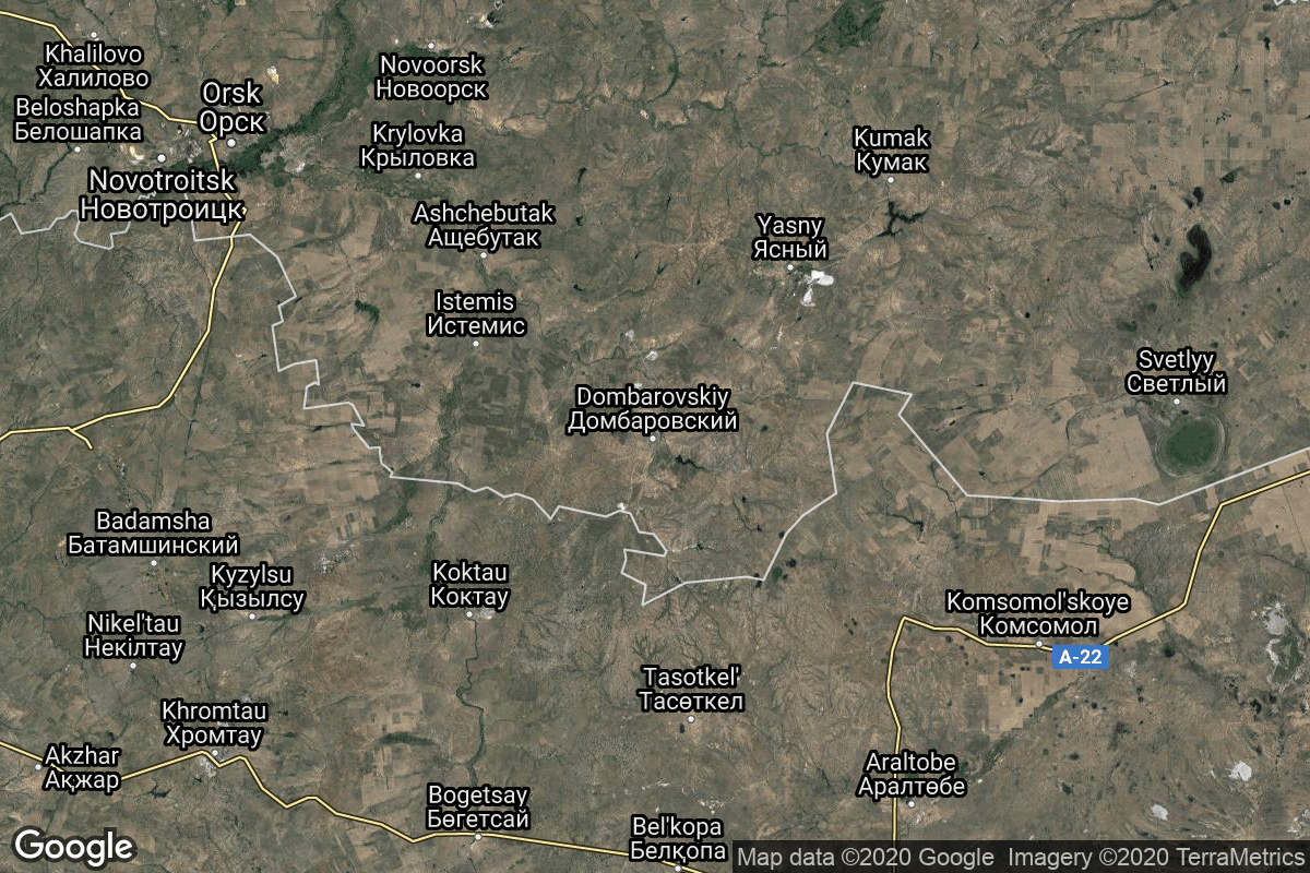
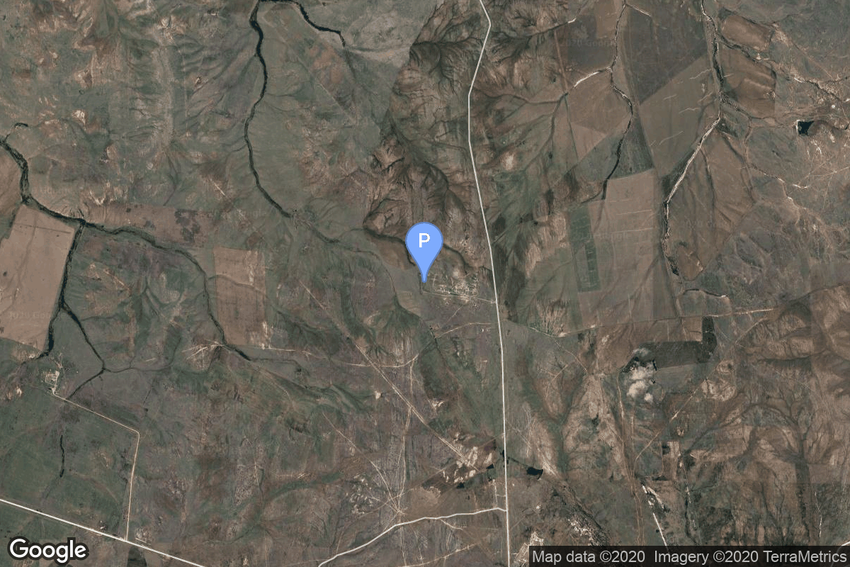
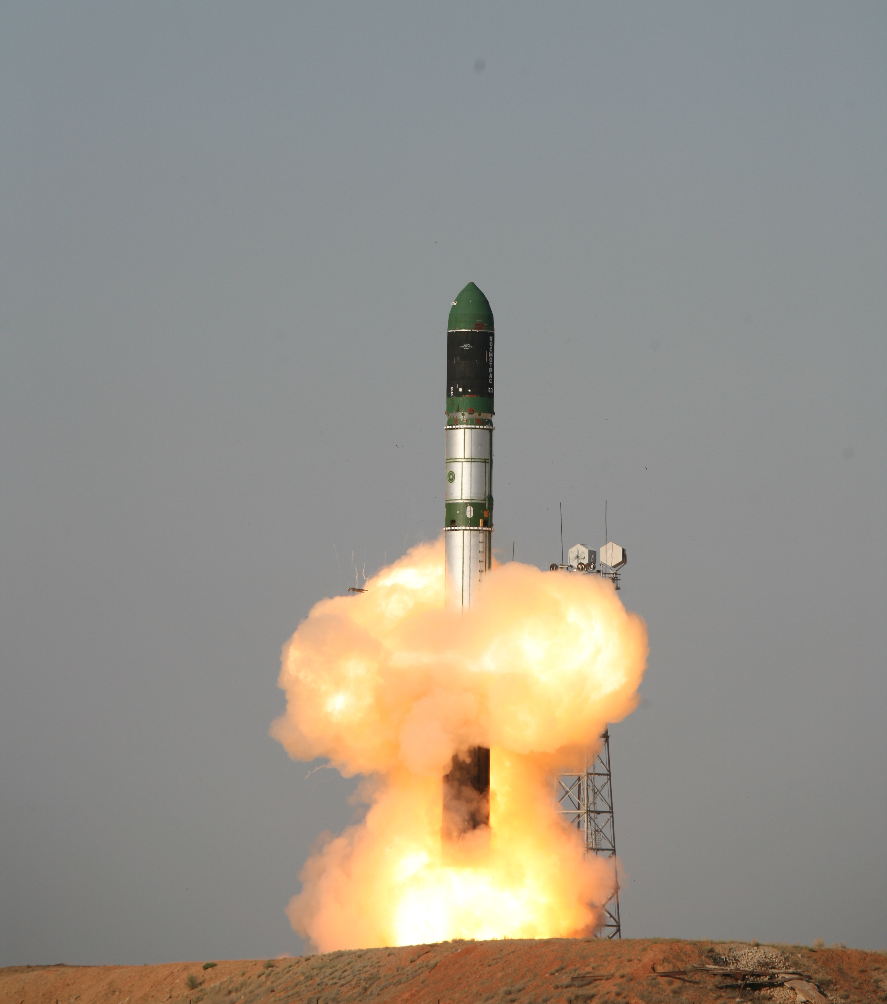
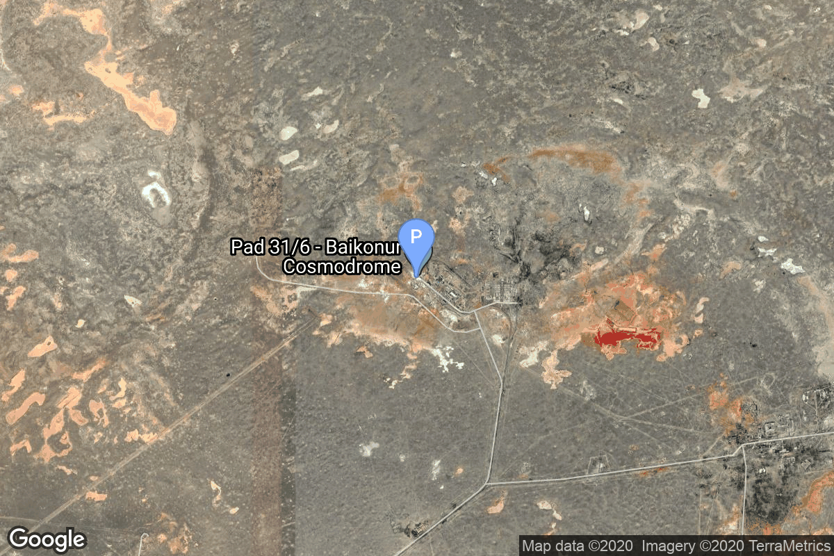
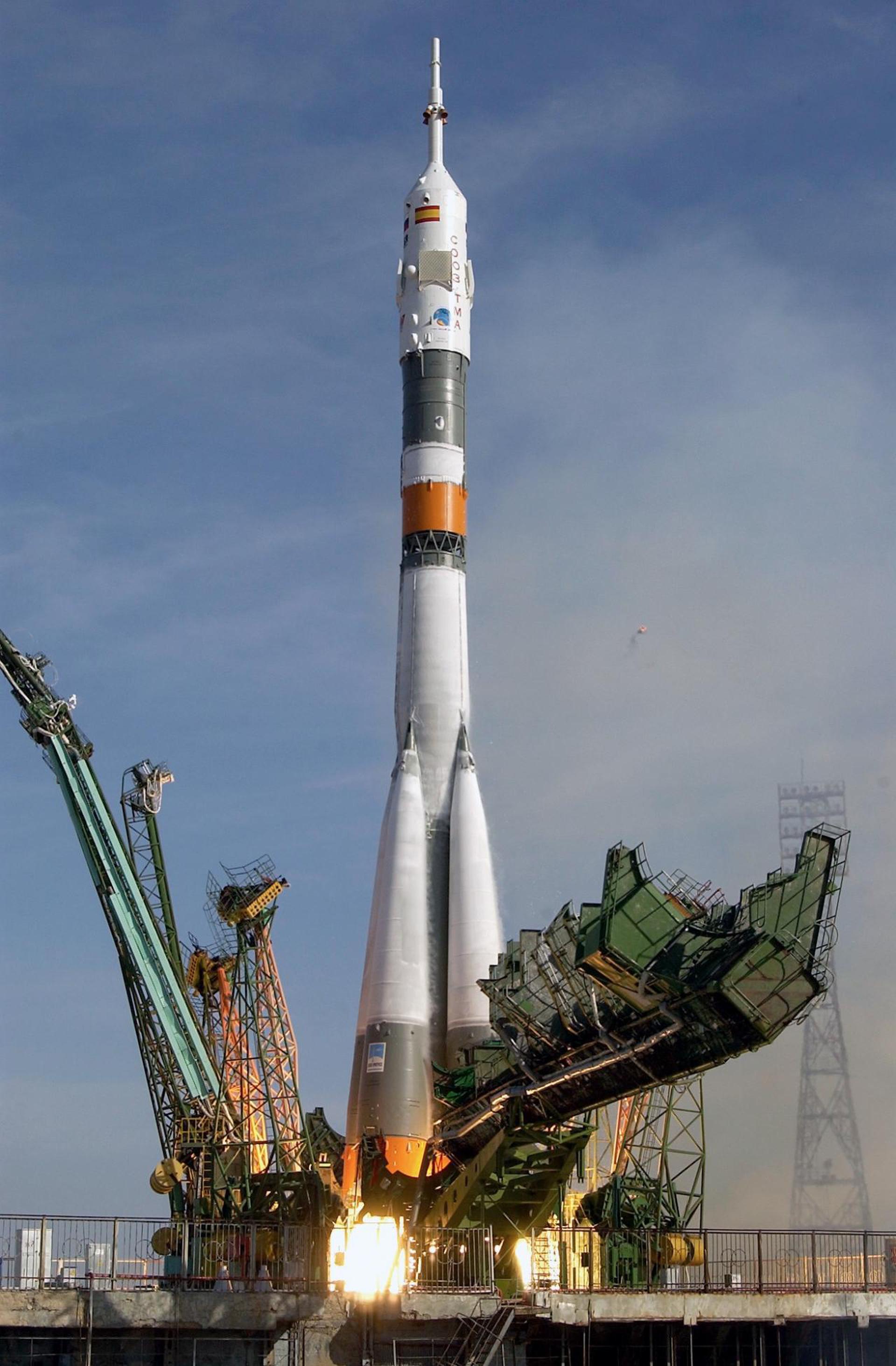
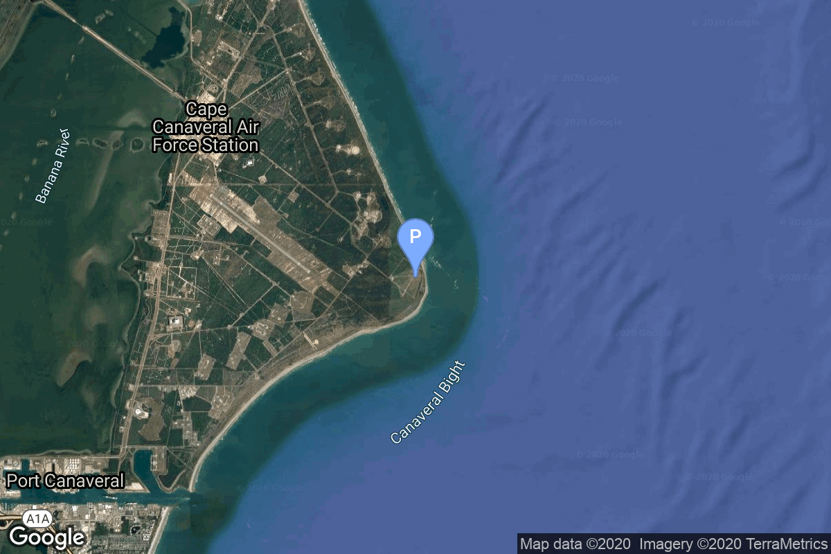
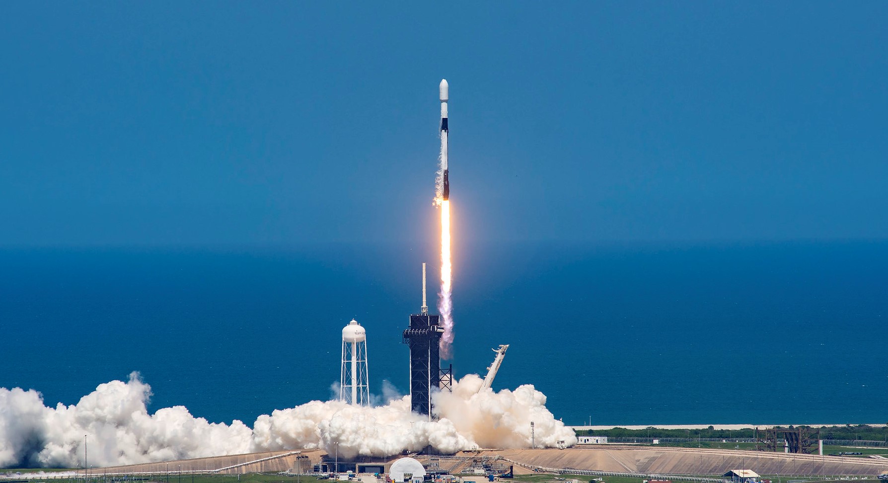
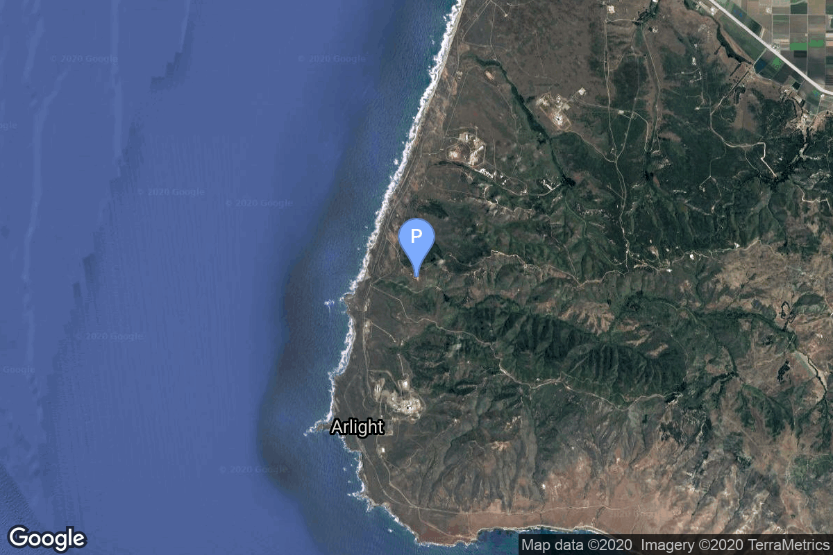
{ "count": 8136, "next": "https://lldev.thespacedevs.com/2.0.0/launch/?format=api&limit=10&offset=6370&ordering=-id", "previous": "https://lldev.thespacedevs.com/2.0.0/launch/?format=api&limit=10&offset=6350&ordering=-id", "results": [ { "id": "3949f21f-ae39-439b-b6e6-750b5562d94c", "url": "https://lldev.thespacedevs.com/2.0.0/launch/3949f21f-ae39-439b-b6e6-750b5562d94c/?format=api", "launch_library_id": null, "slug": "delta-ii-bonum-1", "name": "Delta II | BONUM-1", "status": { "id": 3, "name": "Success" }, "net": "1998-11-22T23:54:00Z", "window_end": "1998-11-22T23:54:00Z", "window_start": "1998-11-22T23:54:00Z", "inhold": false, "tbdtime": false, "tbddate": false, "probability": null, "holdreason": "", "failreason": null, "hashtag": null, "launch_service_provider": { "id": 161, "url": "https://lldev.thespacedevs.com/2.0.0/agencies/161/?format=api", "name": "United States Air Force", "type": "Government" }, "rocket": { "id": 6889, "configuration": { "id": 140, "launch_library_id": 181, "url": "https://lldev.thespacedevs.com/2.0.0/config/launcher/140/?format=api", "name": "Delta II", "family": "Delta", "full_name": "Delta II 7925-9.5", "variant": "7925-9.5" } }, "mission": { "id": 5279, "launch_library_id": null, "name": "BONUM-1", "description": "The satellite is a high-power version of the HS-376HP, spin-stabilized spacecraft, one of the most popular spacecraft models. The satellite was launched onboard a Delta-7925 rocket on Nov. 22, 1998. The delivery in-orbit contract included the satellite, launch vehicle services, and ground satellite control equipment for use at the control center, and training for the satellite controllers. The satellite is operated by the BONUM-1 control station, located in Moscow.", "launch_designator": null, "type": "Communications", "orbit": { "id": 1, "name": "Geostationary Orbit", "abbrev": "Direct-GEO" } }, "pad": { "id": 1, "url": "https://lldev.thespacedevs.com/2.0.0/pad/1/?format=api", "agency_id": null, "name": "Space Launch Complex 17B", "info_url": null, "wiki_url": "https://en.wikipedia.org/wiki/Cape_Canaveral_Space_Launch_Complex_17", "map_url": "https://www.google.com/maps?q=28.4458,-80.5657", "latitude": "28.4458", "longitude": "-80.5657", "location": { "id": 12, "url": "https://lldev.thespacedevs.com/2.0.0/location/12/?format=api", "name": "Cape Canaveral SFS, FL, USA", "country_code": "USA", "map_image": "https://thespacedevs-dev.nyc3.digitaloceanspaces.com/media/map_images/location_12_20200803142519.jpg", "total_launch_count": 1132, "total_landing_count": 83 }, "map_image": "https://thespacedevs-dev.nyc3.digitaloceanspaces.com/media/map_images/pad_1_20200803143208.jpg", "total_launch_count": 132 }, "webcast_live": false, "image": "https://thespacedevs-dev.nyc3.digitaloceanspaces.com/media/images/delta_ii_7925-9_image_20240312090356.jpeg", "infographic": null, "program": [] }, { "id": "39418e8d-d00e-43a4-b58b-b7b1a7335a9b", "url": "https://lldev.thespacedevs.com/2.0.0/launch/39418e8d-d00e-43a4-b58b-b7b1a7335a9b/?format=api", "launch_library_id": 800, "slug": "atlas-v-501-otv-1-x-37b-usa-212", "name": "Atlas V 501 | OTV-1 (X-37B) (USA 212)", "status": { "id": 3, "name": "Success" }, "net": "2010-04-22T23:52:00Z", "window_end": "2010-04-22T23:52:00Z", "window_start": "2010-04-22T23:52:00Z", "inhold": false, "tbdtime": false, "tbddate": false, "probability": null, "holdreason": "", "failreason": null, "hashtag": null, "launch_service_provider": { "id": 124, "url": "https://lldev.thespacedevs.com/2.0.0/agencies/124/?format=api", "name": "United Launch Alliance", "type": "Commercial" }, "rocket": { "id": 1453, "configuration": { "id": 4, "launch_library_id": 32, "url": "https://lldev.thespacedevs.com/2.0.0/config/launcher/4/?format=api", "name": "Atlas V 501", "family": "Atlas", "full_name": "Atlas V 501", "variant": "501" } }, "mission": { "id": 800, "launch_library_id": 575, "name": "OTV-1 (X-37B) (USA 212)", "description": "It is the first flight of Boeing X-37B, a United States Air Force Orbital Test Vehicle, which is an unmanned 5000 kg, 8.8 m-long reusable mini-spaceplane capable of autonomous re-entry and landing. The OTV-1 mission was designed to test new technologies, however the specific identity of the spaceship's payload was not revealed. OTV was the first vehicle since NASA's shuttle orbiter capable of returning experiments to Earth for further inspection and analysis. The mission concluded after 224 days in orbit, marking the first American autonomous orbital runway landing.", "launch_designator": null, "type": "Government/Top Secret", "orbit": { "id": 8, "name": "Low Earth Orbit", "abbrev": "LEO" } }, "pad": { "id": 29, "url": "https://lldev.thespacedevs.com/2.0.0/pad/29/?format=api", "agency_id": null, "name": "Space Launch Complex 41", "info_url": null, "wiki_url": "https://en.wikipedia.org/wiki/Cape_Canaveral_Air_Force_Station_Space_Launch_Complex_41", "map_url": "https://www.google.com/maps?q=28.58341025,-80.58303644", "latitude": "28.58341025", "longitude": "-80.58303644", "location": { "id": 12, "url": "https://lldev.thespacedevs.com/2.0.0/location/12/?format=api", "name": "Cape Canaveral SFS, FL, USA", "country_code": "USA", "map_image": "https://thespacedevs-dev.nyc3.digitaloceanspaces.com/media/map_images/location_12_20200803142519.jpg", "total_launch_count": 1132, "total_landing_count": 83 }, "map_image": "https://thespacedevs-dev.nyc3.digitaloceanspaces.com/media/map_images/pad_29_20200803143528.jpg", "total_launch_count": 125 }, "webcast_live": false, "image": "https://thespacedevs-dev.nyc3.digitaloceanspaces.com/media/images/atlas2520v2520501_image_20190222030851.jpeg", "infographic": null, "program": [] }, { "id": "393eb981-7952-44e5-bfbb-59410db0ef94", "url": "https://lldev.thespacedevs.com/2.0.0/launch/393eb981-7952-44e5-bfbb-59410db0ef94/?format=api", "launch_library_id": null, "slug": "falcon-9-block-5-starlink-group-5-5", "name": "Falcon 9 Block 5 | Starlink Group 5-5", "status": { "id": 3, "name": "Success" }, "net": "2023-03-24T15:43:10Z", "window_end": "2023-03-24T18:55:00Z", "window_start": "2023-03-24T15:43:10Z", "inhold": false, "tbdtime": false, "tbddate": false, "probability": 99, "holdreason": "", "failreason": "", "hashtag": null, "launch_service_provider": { "id": 121, "url": "https://lldev.thespacedevs.com/2.0.0/agencies/121/?format=api", "name": "SpaceX", "type": "Commercial" }, "rocket": { "id": 7778, "configuration": { "id": 164, "launch_library_id": 188, "url": "https://lldev.thespacedevs.com/2.0.0/config/launcher/164/?format=api", "name": "Falcon 9", "family": "Falcon", "full_name": "Falcon 9 Block 5", "variant": "Block 5" } }, "mission": { "id": 6296, "launch_library_id": null, "name": "Starlink Group 5-5", "description": "A batch of 56 satellites for the Starlink mega-constellation - SpaceX's project for space-based Internet communication system.", "launch_designator": null, "type": "Communications", "orbit": { "id": 8, "name": "Low Earth Orbit", "abbrev": "LEO" } }, "pad": { "id": 80, "url": "https://lldev.thespacedevs.com/2.0.0/pad/80/?format=api", "agency_id": 121, "name": "Space Launch Complex 40", "info_url": null, "wiki_url": "https://en.wikipedia.org/wiki/Cape_Canaveral_Air_Force_Station_Space_Launch_Complex_40", "map_url": "https://www.google.com/maps?q=28.56194122,-80.57735736", "latitude": "28.56194122", "longitude": "-80.57735736", "location": { "id": 12, "url": "https://lldev.thespacedevs.com/2.0.0/location/12/?format=api", "name": "Cape Canaveral SFS, FL, USA", "country_code": "USA", "map_image": "https://thespacedevs-dev.nyc3.digitaloceanspaces.com/media/map_images/location_12_20200803142519.jpg", "total_launch_count": 1132, "total_landing_count": 83 }, "map_image": "https://thespacedevs-dev.nyc3.digitaloceanspaces.com/media/map_images/pad_80_20200803143323.jpg", "total_launch_count": 404 }, "webcast_live": false, "image": "https://thespacedevs-dev.nyc3.digitaloceanspaces.com/media/images/falcon2520925_image_20221009234147.png", "infographic": null, "program": [ { "id": 25, "url": "https://lldev.thespacedevs.com/2.0.0/program/25/?format=api", "name": "Starlink", "description": "Starlink is a satellite internet constellation operated by American aerospace company SpaceX", "agencies": [ { "id": 121, "url": "https://lldev.thespacedevs.com/2.0.0/agencies/121/?format=api", "name": "SpaceX", "type": "Commercial" } ], "image_url": "https://thespacedevs-dev.nyc3.digitaloceanspaces.com/media/images/starlink_program_20231228154508.jpeg", "start_date": "2018-02-22T14:17:00Z", "end_date": null, "info_url": "https://starlink.com", "wiki_url": "https://en.wikipedia.org/wiki/Starlink" } ] }, { "id": "393c872a-e08b-4f0a-9430-cb24ca5a1933", "url": "https://lldev.thespacedevs.com/2.0.0/launch/393c872a-e08b-4f0a-9430-cb24ca5a1933/?format=api", "launch_library_id": 347, "slug": "dnepr-1-asnaro", "name": "Dnepr 1 | ASNARO", "status": { "id": 3, "name": "Success" }, "net": "2014-11-06T07:35:49Z", "window_end": "2014-11-06T07:35:49Z", "window_start": "2014-11-06T07:35:49Z", "inhold": false, "tbdtime": false, "tbddate": false, "probability": null, "holdreason": "", "failreason": "", "hashtag": null, "launch_service_provider": { "id": 119, "url": "https://lldev.thespacedevs.com/2.0.0/agencies/119/?format=api", "name": "ISC Kosmotras", "type": "Commercial" }, "rocket": { "id": 1799, "configuration": { "id": 31, "launch_library_id": 54, "url": "https://lldev.thespacedevs.com/2.0.0/config/launcher/31/?format=api", "name": "Dnepr", "family": "", "full_name": "Dnepr 1", "variant": "1" } }, "mission": null, "pad": { "id": 183, "url": "https://lldev.thespacedevs.com/2.0.0/pad/183/?format=api", "agency_id": null, "name": "370/13", "info_url": null, "wiki_url": "https://en.wikipedia.org/wiki/Dombarovsky_Air_Base", "map_url": "https://www.google.com/maps?q=51.0938889,59.8400282", "latitude": "51.0938889", "longitude": "59.8400282", "location": { "id": 5, "url": "https://lldev.thespacedevs.com/2.0.0/location/5/?format=api", "name": "Dombarovskiy, Russian Federation", "country_code": "RUS", "map_image": "https://thespacedevs-dev.nyc3.digitaloceanspaces.com/media/map_images/location_5_20200803142425.jpg", "total_launch_count": 10, "total_landing_count": 0 }, "map_image": "https://thespacedevs-dev.nyc3.digitaloceanspaces.com/media/map_images/pad_183_20200803143512.jpg", "total_launch_count": 8 }, "webcast_live": false, "image": "https://thespacedevs-dev.nyc3.digitaloceanspaces.com/media/images/dnepr-1_liftoff_image_20240411092543.jpeg", "infographic": null, "program": [] }, { "id": "393a226e-1c47-4505-9d9a-fdeb4b4c3e4d", "url": "https://lldev.thespacedevs.com/2.0.0/launch/393a226e-1c47-4505-9d9a-fdeb4b4c3e4d/?format=api", "launch_library_id": 1704, "slug": "soyuz-u-progress-6", "name": "Soyuz U | Progress 6", "status": { "id": 3, "name": "Success" }, "net": "1979-05-13T04:17:10Z", "window_end": "1979-05-13T04:17:10Z", "window_start": "1979-05-13T04:17:10Z", "inhold": false, "tbdtime": false, "tbddate": false, "probability": 0, "holdreason": "", "failreason": "", "hashtag": "", "launch_service_provider": { "id": 66, "url": "https://lldev.thespacedevs.com/2.0.0/agencies/66/?format=api", "name": "Soviet Space Program", "type": "Government" }, "rocket": { "id": 2236, "configuration": { "id": 37, "launch_library_id": 35, "url": "https://lldev.thespacedevs.com/2.0.0/config/launcher/37/?format=api", "name": "Soyuz U", "family": "Soyuz", "full_name": "Soyuz U", "variant": "" } }, "mission": null, "pad": { "id": 20, "url": "https://lldev.thespacedevs.com/2.0.0/pad/20/?format=api", "agency_id": null, "name": "31/6", "info_url": null, "wiki_url": "https://en.wikipedia.org/wiki/Baikonur_Cosmodrome_Site_31", "map_url": "https://www.google.com/maps?q=45.996034,63.564003", "latitude": "45.996034", "longitude": "63.564003", "location": { "id": 15, "url": "https://lldev.thespacedevs.com/2.0.0/location/15/?format=api", "name": "Baikonur Cosmodrome, Republic of Kazakhstan", "country_code": "KAZ", "map_image": "https://thespacedevs-dev.nyc3.digitaloceanspaces.com/media/map_images/location_15_20200803142517.jpg", "total_launch_count": 1565, "total_landing_count": 0 }, "map_image": "https://thespacedevs-dev.nyc3.digitaloceanspaces.com/media/map_images/pad_20_20200803143516.jpg", "total_launch_count": 430 }, "webcast_live": false, "image": "https://thespacedevs-dev.nyc3.digitaloceanspaces.com/media/images/soyuz2520u_image_20190222031023.jpeg", "infographic": null, "program": [] }, { "id": "3930a4f9-1bd4-4f83-8906-70fcda1e31cd", "url": "https://lldev.thespacedevs.com/2.0.0/launch/3930a4f9-1bd4-4f83-8906-70fcda1e31cd/?format=api", "launch_library_id": null, "slug": "falcon-9-block-5-amazon-leo-lf-10", "name": "Falcon 9 Block 5 | Amazon Leo (LF-10)", "status": { "id": 2, "name": "TBD" }, "net": "2029-12-31T00:00:00Z", "window_end": "2029-12-31T00:00:00Z", "window_start": "2029-12-31T00:00:00Z", "inhold": false, "tbdtime": true, "tbddate": true, "probability": null, "holdreason": "", "failreason": "", "hashtag": null, "launch_service_provider": { "id": 121, "url": "https://lldev.thespacedevs.com/2.0.0/agencies/121/?format=api", "name": "SpaceX", "type": "Commercial" }, "rocket": { "id": 9053, "configuration": { "id": 164, "launch_library_id": 188, "url": "https://lldev.thespacedevs.com/2.0.0/config/launcher/164/?format=api", "name": "Falcon 9", "family": "Falcon", "full_name": "Falcon 9 Block 5", "variant": "Block 5" } }, "mission": { "id": 7648, "launch_library_id": null, "name": "Amazon Leo (LF-10)", "description": "Amazon Leo, formerly known as Project Kuiper, is a mega constellation of satellites in Low Earth Orbit designed to offer broadband internet access managed by Kuiper Systems LLC, a subsidiary of Amazon. This constellation is planned to be composed of 3,276 satellites. The satellites are projected to be placed in 98 orbital planes in three orbital layers, one at 590 km, 610 km and 630 km altitude.", "launch_designator": null, "type": "Communications", "orbit": { "id": 8, "name": "Low Earth Orbit", "abbrev": "LEO" } }, "pad": { "id": 72, "url": "https://lldev.thespacedevs.com/2.0.0/pad/72/?format=api", "agency_id": null, "name": "Unknown Pad", "info_url": null, "wiki_url": "", "map_url": "https://www.google.com/maps?q=28.458,-80.528", "latitude": "28.458", "longitude": "-80.528", "location": { "id": 12, "url": "https://lldev.thespacedevs.com/2.0.0/location/12/?format=api", "name": "Cape Canaveral SFS, FL, USA", "country_code": "USA", "map_image": "https://thespacedevs-dev.nyc3.digitaloceanspaces.com/media/map_images/location_12_20200803142519.jpg", "total_launch_count": 1132, "total_landing_count": 83 }, "map_image": "https://thespacedevs-dev.nyc3.digitaloceanspaces.com/media/map_images/pad_72_20200803143403.jpg", "total_launch_count": 0 }, "webcast_live": false, "image": "https://thespacedevs-dev.nyc3.digitaloceanspaces.com/media/images/falcon_9_image_20230807133459.jpeg", "infographic": null, "program": [ { "id": 27, "url": "https://lldev.thespacedevs.com/2.0.0/program/27/?format=api", "name": "Amazon Leo", "description": "Amazon Leo is a satellite internet constellation aimed at providing high-speed, low-latency broadband connectivity to underserved and remote areas globally. The project involves deploying a constellation of low Earth orbit (LEO) satellites to create a satellite internet network capable of delivering reliable internet access.", "agencies": [ { "id": 1058, "url": "https://lldev.thespacedevs.com/2.0.0/agencies/1058/?format=api", "name": "Amazon Leo", "type": "Private" } ], "image_url": "https://thespacedevs-dev.nyc3.digitaloceanspaces.com/media/images/project2520kui_program_20231228165031.jpeg", "start_date": "2023-10-16T18:06:00Z", "end_date": null, "info_url": "https://en.wikipedia.org/wiki/Kuiper_Systems", "wiki_url": "https://aboutamazon.com/what-we-do/devices-services/project-kuiper" } ] }, { "id": "3924d23c-eaab-4274-8619-938842638808", "url": "https://lldev.thespacedevs.com/2.0.0/launch/3924d23c-eaab-4274-8619-938842638808/?format=api", "launch_library_id": null, "slug": "scout-g-1-magsat", "name": "Scout G-1 | Magsat", "status": { "id": 3, "name": "Success" }, "net": "1979-10-30T14:16:00Z", "window_end": "1979-10-30T14:16:00Z", "window_start": "1979-10-30T14:16:00Z", "inhold": false, "tbdtime": false, "tbddate": false, "probability": null, "holdreason": "", "failreason": null, "hashtag": null, "launch_service_provider": { "id": 44, "url": "https://lldev.thespacedevs.com/2.0.0/agencies/44/?format=api", "name": "National Aeronautics and Space Administration", "type": "Government" }, "rocket": { "id": 5125, "configuration": { "id": 363, "launch_library_id": null, "url": "https://lldev.thespacedevs.com/2.0.0/config/launcher/363/?format=api", "name": "Scout G-1", "family": "Scout", "full_name": "Scout G-1", "variant": "G-1" } }, "mission": { "id": 3536, "launch_library_id": null, "name": "Magsat", "description": "Scientific satellite dedicated to near-earth magnetic fields measurements", "launch_designator": null, "type": "Earth Science", "orbit": { "id": 8, "name": "Low Earth Orbit", "abbrev": "LEO" } }, "pad": { "id": 154, "url": "https://lldev.thespacedevs.com/2.0.0/pad/154/?format=api", "agency_id": null, "name": "Space Launch Complex 5", "info_url": "https://www.astronautix.com/v/vandenbergslc5.html", "wiki_url": "https://en.wikipedia.org/wiki/Vandenberg_Air_Force_Base_Space_Launch_Complex_5", "map_url": "https://www.google.com/maps?q=34.6080,-120.6247", "latitude": "34.608", "longitude": "-120.6247", "location": { "id": 11, "url": "https://lldev.thespacedevs.com/2.0.0/location/11/?format=api", "name": "Vandenberg SFB, CA, USA", "country_code": "USA", "map_image": "https://thespacedevs-dev.nyc3.digitaloceanspaces.com/media/map_images/location_11_20200803142416.jpg", "total_launch_count": 924, "total_landing_count": 37 }, "map_image": "https://thespacedevs-dev.nyc3.digitaloceanspaces.com/media/map_images/pad_154_20200803143408.jpg", "total_launch_count": 69 }, "webcast_live": false, "image": null, "infographic": null, "program": [] }, { "id": "391afdbe-815a-4c0b-aa44-1473a767d33c", "url": "https://lldev.thespacedevs.com/2.0.0/launch/391afdbe-815a-4c0b-aa44-1473a767d33c/?format=api", "launch_library_id": null, "slug": "spaceshiptwo-vss-enterprise-gf22", "name": "SpaceShipTwo | VSS Enterprise GF22", "status": { "id": 3, "name": "Success" }, "net": "2012-08-11T12:00:00Z", "window_end": "2012-08-11T12:00:00Z", "window_start": "2012-08-11T12:00:00Z", "inhold": false, "tbdtime": false, "tbddate": false, "probability": null, "holdreason": "", "failreason": "", "hashtag": null, "launch_service_provider": { "id": 1024, "url": "https://lldev.thespacedevs.com/2.0.0/agencies/1024/?format=api", "name": "Virgin Galactic", "type": "Private" }, "rocket": { "id": 2915, "configuration": { "id": 465, "launch_library_id": null, "url": "https://lldev.thespacedevs.com/2.0.0/config/launcher/465/?format=api", "name": "SpaceShipTwo", "family": "", "full_name": "SpaceShipTwo", "variant": "" } }, "mission": { "id": 1332, "launch_library_id": null, "name": "VSS Enterprise GF22", "description": "Free glide test flight of VSS Enterprise.", "launch_designator": null, "type": "Test Flight", "orbit": { "id": 15, "name": "Suborbital", "abbrev": "Sub" } }, "pad": { "id": 190, "url": "https://lldev.thespacedevs.com/2.0.0/pad/190/?format=api", "agency_id": 1024, "name": "Mojave Air and Space Port", "info_url": "https://www.mojaveairport.com/", "wiki_url": "https://en.wikipedia.org/wiki/Mojave_Air_and_Space_Port", "map_url": "https://www.google.com/maps?q=35.0594444,-118.1538607", "latitude": "35.0594444", "longitude": "-118.1538607", "location": { "id": 144, "url": "https://lldev.thespacedevs.com/2.0.0/location/144/?format=api", "name": "Air launch to Suborbital flight", "country_code": "???", "map_image": "https://thespacedevs-dev.nyc3.digitaloceanspaces.com/media/map_images/location_144_20200803142439.jpg", "total_launch_count": 86, "total_landing_count": 0 }, "map_image": "https://thespacedevs-dev.nyc3.digitaloceanspaces.com/media/map_images/pad_190_20210522160913.jpg", "total_launch_count": 53 }, "webcast_live": false, "image": "https://thespacedevs-dev.nyc3.digitaloceanspaces.com/media/images/spaceshiptwo_image_20210522140909.jpeg", "infographic": null, "program": [] }, { "id": "391578d0-156e-4e8f-902b-f5a9627327e1", "url": "https://lldev.thespacedevs.com/2.0.0/launch/391578d0-156e-4e8f-902b-f5a9627327e1/?format=api", "launch_library_id": 1647, "slug": "long-march-3b-yz-1-beidou-3-m17-m18", "name": "Long March 3B / YZ-1 | Beidou-3 M17 & M18", "status": { "id": 3, "name": "Success" }, "net": "2018-11-18T18:07:03Z", "window_end": "2018-11-18T18:26:00Z", "window_start": "2018-11-18T17:49:00Z", "inhold": false, "tbdtime": false, "tbddate": false, "probability": null, "holdreason": "", "failreason": null, "hashtag": null, "launch_service_provider": { "id": 88, "url": "https://lldev.thespacedevs.com/2.0.0/agencies/88/?format=api", "name": "China Aerospace Science and Technology Corporation", "type": "Government" }, "rocket": { "id": 2149, "configuration": { "id": 78, "launch_library_id": 89, "url": "https://lldev.thespacedevs.com/2.0.0/config/launcher/78/?format=api", "name": "Long March 3B/YZ-1", "family": "Long March", "full_name": "Long March 3B/YZ-1", "variant": "B/YZ-1" } }, "mission": { "id": 746, "launch_library_id": 893, "name": "Beidou-3 M17 & M18", "description": "These two satellites will be used to provide global navigation coverage as part of the Chinese Beidou (Compass) satellite navigation system.", "launch_designator": null, "type": "Navigation", "orbit": { "id": 12, "name": "Medium Earth Orbit", "abbrev": "MEO" } }, "pad": { "id": 66, "url": "https://lldev.thespacedevs.com/2.0.0/pad/66/?format=api", "agency_id": 17, "name": "Launch Complex 3 (LC-3/LA-1)", "info_url": null, "wiki_url": "https://en.wikipedia.org/wiki/Xichang_Satellite_Launch_Center", "map_url": "https://www.google.com/maps?q=28.247059,102.029008", "latitude": "28.247059", "longitude": "102.029008", "location": { "id": 16, "url": "https://lldev.thespacedevs.com/2.0.0/location/16/?format=api", "name": "Xichang Satellite Launch Center, People's Republic of China", "country_code": "CHN", "map_image": "https://thespacedevs-dev.nyc3.digitaloceanspaces.com/media/map_images/location_16_20200803142513.jpg", "total_launch_count": 243, "total_landing_count": 0 }, "map_image": "https://thespacedevs-dev.nyc3.digitaloceanspaces.com/media/map_images/pad_66_20200803143611.jpg", "total_launch_count": 109 }, "webcast_live": false, "image": "https://thespacedevs-dev.nyc3.digitaloceanspaces.com/media/images/long2520march_image_20231226100006.jpeg", "infographic": null, "program": [ { "id": 35, "url": "https://lldev.thespacedevs.com/2.0.0/program/35/?format=api", "name": "BeiDou", "description": "The BeiDou Navigation Satellite System is a satellite-based radio navigation system owned and operated by the China National Space Administration.[4] It is one of the global navigation satellite systems that provide geolocation and time information to a BDS receiver anywhere on or near the Earth where there is an unobstructed line of sight to four or more BDS satellites.", "agencies": [ { "id": 17, "url": "https://lldev.thespacedevs.com/2.0.0/agencies/17/?format=api", "name": "China National Space Administration", "type": "Government" } ], "image_url": "https://thespacedevs-dev.nyc3.digitaloceanspaces.com/media/images/beidou_program_20240102170615.png", "start_date": "2000-10-31T00:00:00Z", "end_date": null, "info_url": "http://en.beidou.gov.cn/", "wiki_url": "https://en.wikipedia.org/wiki/BeiDou" } ] }, { "id": "38ffba67-c228-4022-bd3f-ec2aa16ead50", "url": "https://lldev.thespacedevs.com/2.0.0/launch/38ffba67-c228-4022-bd3f-ec2aa16ead50/?format=api", "launch_library_id": null, "slug": "atlas-d-ov1-9-10", "name": "Atlas D | OV1-9 & 10", "status": { "id": 3, "name": "Success" }, "net": "1966-12-11T21:09:57Z", "window_end": "1966-12-11T21:09:57Z", "window_start": "1966-12-11T21:09:57Z", "inhold": false, "tbdtime": false, "tbddate": false, "probability": null, "holdreason": "", "failreason": null, "hashtag": null, "launch_service_provider": { "id": 161, "url": "https://lldev.thespacedevs.com/2.0.0/agencies/161/?format=api", "name": "United States Air Force", "type": "Government" }, "rocket": { "id": 3599, "configuration": { "id": 237, "launch_library_id": null, "url": "https://lldev.thespacedevs.com/2.0.0/config/launcher/237/?format=api", "name": "Atlas D", "family": "Atlas", "full_name": "SM-65D Atlas", "variant": "D" } }, "mission": { "id": 2018, "launch_library_id": null, "name": "OV1-9 & 10", "description": "The OV1 (Orbiting Vehicle 1) were small research satellite to be launched piggy back on Atlas ICBM test flights. They consisted in general of the OV1 satellite and the OV1-PM propulsion module (or upper stage) to reach orbit.", "launch_designator": null, "type": "Test Flight", "orbit": { "id": 8, "name": "Low Earth Orbit", "abbrev": "LEO" } }, "pad": { "id": 170, "url": "https://lldev.thespacedevs.com/2.0.0/pad/170/?format=api", "agency_id": null, "name": "576B3", "info_url": null, "wiki_url": "https://en.wikipedia.org/wiki/List_of_Vandenberg_Air_Force_Base_launch_facilities", "map_url": "https://www.google.com/maps?q=34.7897222,-120.5980273", "latitude": "34.7897222", "longitude": "-120.5980273", "location": { "id": 11, "url": "https://lldev.thespacedevs.com/2.0.0/location/11/?format=api", "name": "Vandenberg SFB, CA, USA", "country_code": "USA", "map_image": "https://thespacedevs-dev.nyc3.digitaloceanspaces.com/media/map_images/location_11_20200803142416.jpg", "total_launch_count": 924, "total_landing_count": 37 }, "map_image": "https://thespacedevs-dev.nyc3.digitaloceanspaces.com/media/map_images/pad_170_20200803143421.jpg", "total_launch_count": 7 }, "webcast_live": false, "image": "https://thespacedevs-dev.nyc3.digitaloceanspaces.com/media/images/564th_strategic_image_20251211153200.jpeg", "infographic": null, "program": [] } ] }