Launch List
API endpoint that returns all Launch objects or a single launch.
EXAMPLE - /launch/
GET: Return a list of all Launch objects.
FILTERS: Fields - 'name', 'id(s)', 'lsp_id', 'lsp_name', 'serial_number', 'launcher_config__id', 'rocket__spacecraftflight__spacecraft__name'
MODE: 'normal', 'list', 'detailed' EXAMPLE: ?mode=list
SEARCH: Searches through the launch name, rocket name, launch agency, mission name & spacecraft name. EXAMPLE - ?search=SpaceX
GET /2.0.0/launch/?format=api&offset=6310&ordering=-net
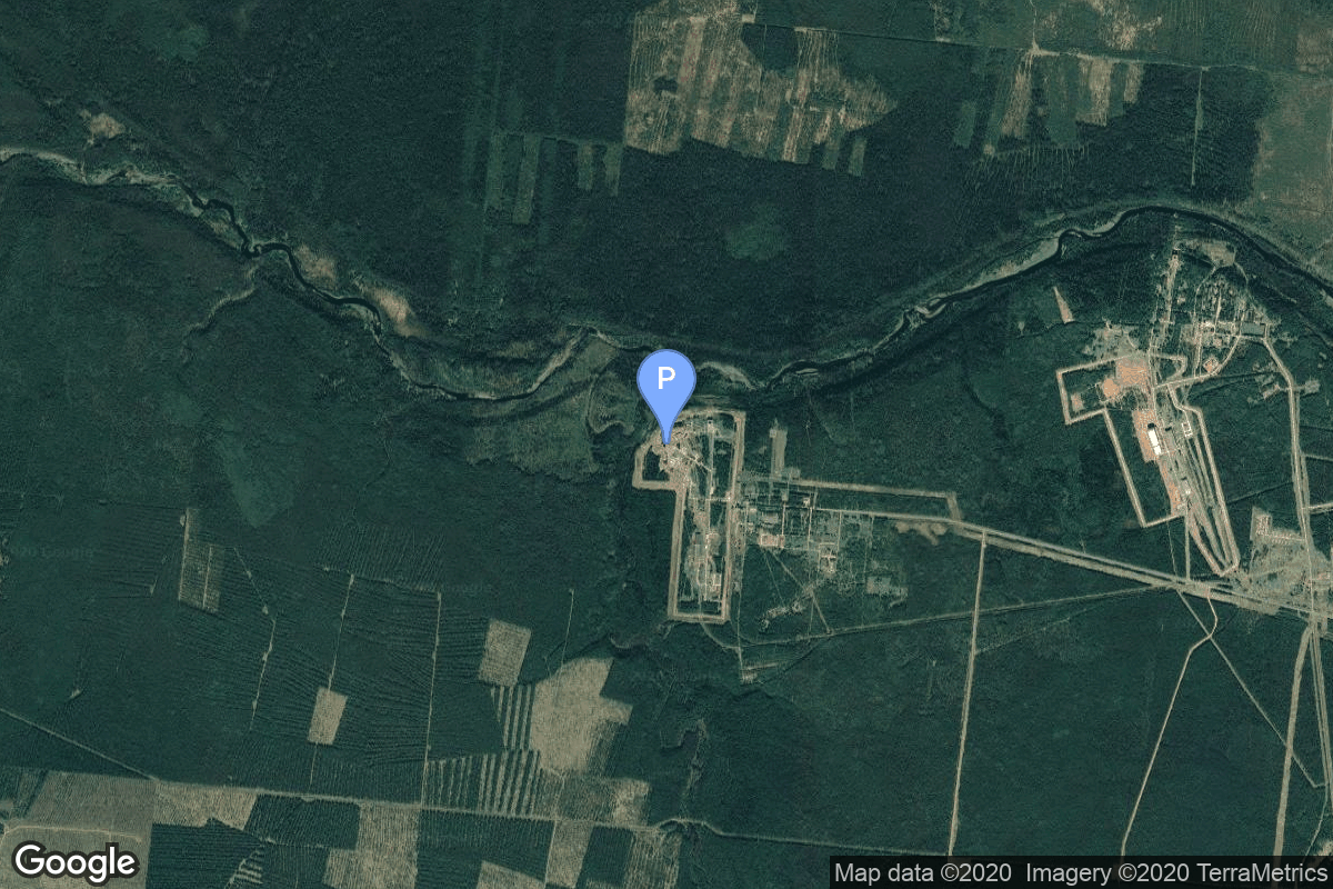
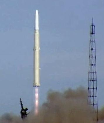
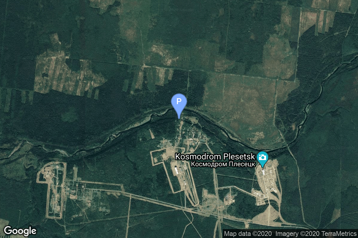
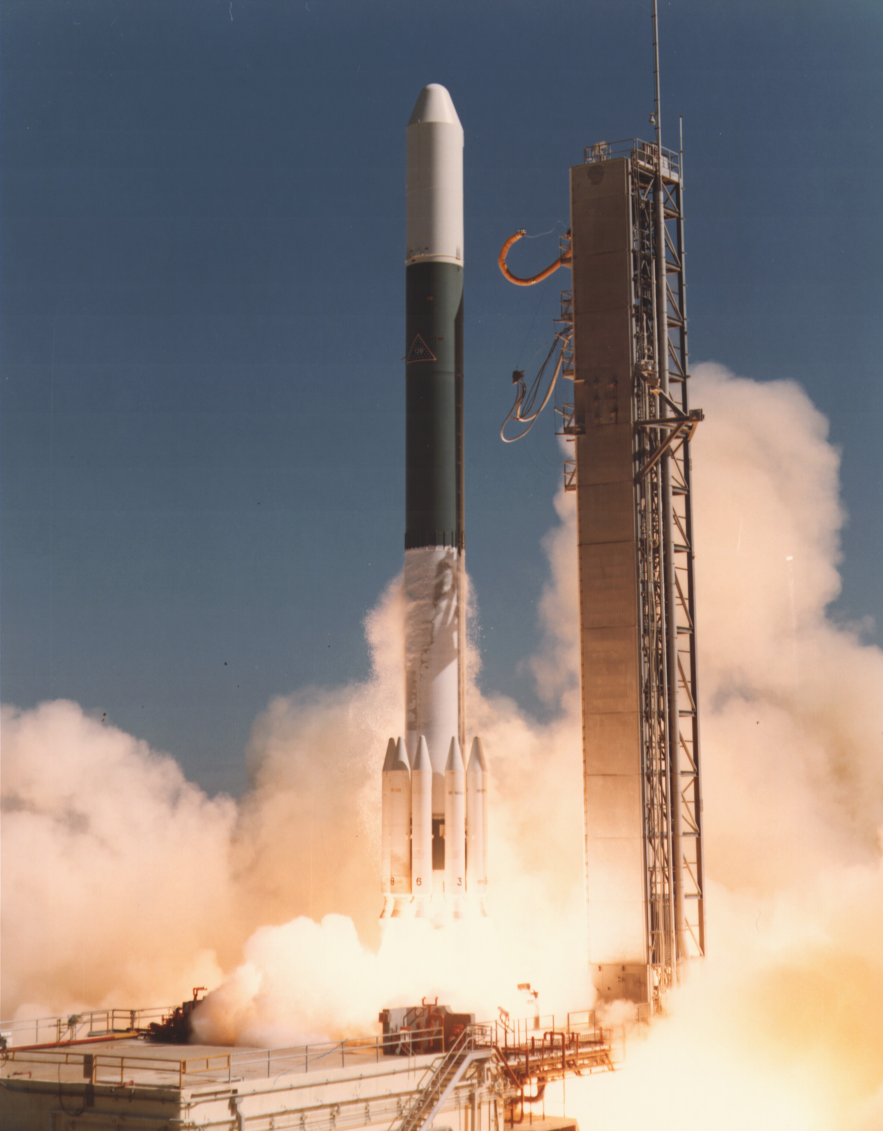
{ "count": 8136, "next": "https://lldev.thespacedevs.com/2.0.0/launch/?format=api&limit=10&offset=6320&ordering=-net", "previous": "https://lldev.thespacedevs.com/2.0.0/launch/?format=api&limit=10&offset=6300&ordering=-net", "results": [ { "id": "a9564ec6-8ada-4ce9-9a7f-5b7426da80ce", "url": "https://lldev.thespacedevs.com/2.0.0/launch/a9564ec6-8ada-4ce9-9a7f-5b7426da80ce/?format=api", "launch_library_id": null, "slug": "voskhod-zenit-4mk-52", "name": "Voskhod | Zenit-4MK 52", "status": { "id": 3, "name": "Success" }, "net": "1975-11-04T15:19:58Z", "window_end": "1975-11-04T15:19:58Z", "window_start": "1975-11-04T15:19:58Z", "inhold": false, "tbdtime": false, "tbddate": false, "probability": null, "holdreason": "", "failreason": null, "hashtag": null, "launch_service_provider": { "id": 66, "url": "https://lldev.thespacedevs.com/2.0.0/agencies/66/?format=api", "name": "Soviet Space Program", "type": "Government" }, "rocket": { "id": 4641, "configuration": { "id": 104, "launch_library_id": 138, "url": "https://lldev.thespacedevs.com/2.0.0/config/launcher/104/?format=api", "name": "Voskhod", "family": "R-7", "full_name": "Voskhod", "variant": "Voskhod" } }, "mission": { "id": 3059, "launch_library_id": null, "name": "Zenit-4MK 52", "description": "High resolution optical reconnaissance satellite of the Vostok-based Zenit family.", "launch_designator": null, "type": "Government/Top Secret", "orbit": { "id": 8, "name": "Low Earth Orbit", "abbrev": "LEO" } }, "pad": { "id": 36, "url": "https://lldev.thespacedevs.com/2.0.0/pad/36/?format=api", "agency_id": 163, "name": "43/3 (43L)", "info_url": null, "wiki_url": null, "map_url": "https://www.google.com/maps?q=62.9273,40.45", "latitude": "62.9273", "longitude": "40.45", "location": { "id": 6, "url": "https://lldev.thespacedevs.com/2.0.0/location/6/?format=api", "name": "Plesetsk Cosmodrome, Russian Federation", "country_code": "RUS", "map_image": "https://thespacedevs-dev.nyc3.digitaloceanspaces.com/media/map_images/location_6_20200803142434.jpg", "total_launch_count": 1689, "total_landing_count": 0 }, "map_image": "https://thespacedevs-dev.nyc3.digitaloceanspaces.com/media/map_images/pad_36_20200803143534.jpg", "total_launch_count": 235 }, "webcast_live": false, "image": "https://thespacedevs-dev.nyc3.digitaloceanspaces.com/media/images/voskhod_during__image_20251102062248.jpg", "infographic": null, "program": [] }, { "id": "7f9ad01e-3b36-4f10-9613-3d41a710865b", "url": "https://lldev.thespacedevs.com/2.0.0/launch/7f9ad01e-3b36-4f10-9613-3d41a710865b/?format=api", "launch_library_id": null, "slug": "kosmos-3m-parus-4", "name": "Kosmos-3M | Parus 4", "status": { "id": 3, "name": "Success" }, "net": "1975-11-04T10:12:53Z", "window_end": "1975-11-04T10:12:53Z", "window_start": "1975-11-04T10:12:53Z", "inhold": false, "tbdtime": false, "tbddate": false, "probability": null, "holdreason": "", "failreason": null, "hashtag": null, "launch_service_provider": { "id": 66, "url": "https://lldev.thespacedevs.com/2.0.0/agencies/66/?format=api", "name": "Soviet Space Program", "type": "Government" }, "rocket": { "id": 4640, "configuration": { "id": 102, "launch_library_id": 122, "url": "https://lldev.thespacedevs.com/2.0.0/config/launcher/102/?format=api", "name": "Kosmos-3M", "family": "Kosmos", "full_name": "Kosmos-3M (11K65M)", "variant": "-3M" } }, "mission": { "id": 3058, "launch_library_id": null, "name": "Parus 4", "description": "Navigation satellite providing location information for the Tsiklon-B navigation system", "launch_designator": null, "type": "Navigation", "orbit": { "id": 8, "name": "Low Earth Orbit", "abbrev": "LEO" } }, "pad": { "id": 28, "url": "https://lldev.thespacedevs.com/2.0.0/pad/28/?format=api", "agency_id": 163, "name": "132/1 (132L)", "info_url": null, "wiki_url": "", "map_url": "https://www.google.com/maps?q=62.883229,40.868549", "latitude": "62.883229", "longitude": "40.868549", "location": { "id": 6, "url": "https://lldev.thespacedevs.com/2.0.0/location/6/?format=api", "name": "Plesetsk Cosmodrome, Russian Federation", "country_code": "RUS", "map_image": "https://thespacedevs-dev.nyc3.digitaloceanspaces.com/media/map_images/location_6_20200803142434.jpg", "total_launch_count": 1689, "total_landing_count": 0 }, "map_image": "https://thespacedevs-dev.nyc3.digitaloceanspaces.com/media/map_images/pad_28_20200803143254.jpg", "total_launch_count": 212 }, "webcast_live": false, "image": "https://thespacedevs-dev.nyc3.digitaloceanspaces.com/media/images/kosmos-3m_durin_image_20251101171325.jpg", "infographic": null, "program": [] }, { "id": "346575cb-141c-42e6-ba54-4ef1c94291d8", "url": "https://lldev.thespacedevs.com/2.0.0/launch/346575cb-141c-42e6-ba54-4ef1c94291d8/?format=api", "launch_library_id": null, "slug": "tsiklon-2-us-p-2", "name": "Tsiklon-2 | US-P 2", "status": { "id": 3, "name": "Success" }, "net": "1975-10-29T11:00:00Z", "window_end": "1975-10-29T11:00:00Z", "window_start": "1975-10-29T11:00:00Z", "inhold": false, "tbdtime": false, "tbddate": false, "probability": null, "holdreason": "", "failreason": null, "hashtag": null, "launch_service_provider": { "id": 66, "url": "https://lldev.thespacedevs.com/2.0.0/agencies/66/?format=api", "name": "Soviet Space Program", "type": "Government" }, "rocket": { "id": 4639, "configuration": { "id": 443, "launch_library_id": null, "url": "https://lldev.thespacedevs.com/2.0.0/config/launcher/443/?format=api", "name": "Tsiklon-2", "family": "Tsiklon", "full_name": "Tsiklon-2", "variant": "2" } }, "mission": { "id": 3057, "launch_library_id": null, "name": "US-P 2", "description": "Ocean surveillance satellite using passive ELINT devices", "launch_designator": null, "type": "Government/Top Secret", "orbit": { "id": 8, "name": "Low Earth Orbit", "abbrev": "LEO" } }, "pad": { "id": 132, "url": "https://lldev.thespacedevs.com/2.0.0/pad/132/?format=api", "agency_id": null, "name": "90", "info_url": null, "wiki_url": "https://en.wikipedia.org/wiki/Baikonur_Cosmodrome_Site_90", "map_url": "https://www.google.com/maps?q=46.081,62.929806", "latitude": "46.081", "longitude": "62.929806", "location": { "id": 15, "url": "https://lldev.thespacedevs.com/2.0.0/location/15/?format=api", "name": "Baikonur Cosmodrome, Republic of Kazakhstan", "country_code": "KAZ", "map_image": "https://thespacedevs-dev.nyc3.digitaloceanspaces.com/media/map_images/location_15_20200803142517.jpg", "total_launch_count": 1565, "total_landing_count": 0 }, "map_image": "https://thespacedevs-dev.nyc3.digitaloceanspaces.com/media/map_images/pad_132_20200803143344.jpg", "total_launch_count": 74 }, "webcast_live": false, "image": "https://thespacedevs-dev.nyc3.digitaloceanspaces.com/media/images/tsyklon-2_lifto_image_20240411113159.jpg", "infographic": null, "program": [] }, { "id": "a2904548-b5c3-45f2-a08a-962607eb47a3", "url": "https://lldev.thespacedevs.com/2.0.0/launch/a2904548-b5c3-45f2-a08a-962607eb47a3/?format=api", "launch_library_id": null, "slug": "voskhod-zenit-2m-61", "name": "Voskhod | Zenit-2M 61", "status": { "id": 3, "name": "Success" }, "net": "1975-10-17T14:29:59Z", "window_end": "1975-10-17T14:29:59Z", "window_start": "1975-10-17T14:29:59Z", "inhold": false, "tbdtime": false, "tbddate": false, "probability": null, "holdreason": "", "failreason": null, "hashtag": null, "launch_service_provider": { "id": 66, "url": "https://lldev.thespacedevs.com/2.0.0/agencies/66/?format=api", "name": "Soviet Space Program", "type": "Government" }, "rocket": { "id": 4638, "configuration": { "id": 104, "launch_library_id": 138, "url": "https://lldev.thespacedevs.com/2.0.0/config/launcher/104/?format=api", "name": "Voskhod", "family": "R-7", "full_name": "Voskhod", "variant": "Voskhod" } }, "mission": { "id": 3056, "launch_library_id": null, "name": "Zenit-2M 61", "description": "The soviet Zenit-2M (Gektor, 11F690) was an improved version of the Zenit-2 area surveillance reconnaissance satellite. It was part of the Vostok-based Zenit-family.", "launch_designator": null, "type": "Government/Top Secret", "orbit": { "id": 8, "name": "Low Earth Orbit", "abbrev": "LEO" } }, "pad": { "id": 168, "url": "https://lldev.thespacedevs.com/2.0.0/pad/168/?format=api", "agency_id": null, "name": "41/1", "info_url": null, "wiki_url": "https://en.wikipedia.org/wiki/Plesetsk_Cosmodrome", "map_url": "https://www.google.com/maps?q=62.941,40.526806", "latitude": "62.941", "longitude": "40.526806", "location": { "id": 6, "url": "https://lldev.thespacedevs.com/2.0.0/location/6/?format=api", "name": "Plesetsk Cosmodrome, Russian Federation", "country_code": "RUS", "map_image": "https://thespacedevs-dev.nyc3.digitaloceanspaces.com/media/map_images/location_6_20200803142434.jpg", "total_launch_count": 1689, "total_landing_count": 0 }, "map_image": "https://thespacedevs-dev.nyc3.digitaloceanspaces.com/media/map_images/pad_168_20200803143446.jpg", "total_launch_count": 310 }, "webcast_live": false, "image": "https://thespacedevs-dev.nyc3.digitaloceanspaces.com/media/images/voskhod_during__image_20251102062248.jpg", "infographic": null, "program": [] }, { "id": "7c4b76f5-db1b-4e4c-9186-2519569d51f6", "url": "https://lldev.thespacedevs.com/2.0.0/launch/7c4b76f5-db1b-4e4c-9186-2519569d51f6/?format=api", "launch_library_id": null, "slug": "delta-2914-goes-1", "name": "Delta 2914 | GOES 1", "status": { "id": 3, "name": "Success" }, "net": "1975-10-16T22:40:00Z", "window_end": "1975-10-16T22:40:00Z", "window_start": "1975-10-16T22:40:00Z", "inhold": false, "tbdtime": false, "tbddate": false, "probability": null, "holdreason": "", "failreason": null, "hashtag": null, "launch_service_provider": { "id": 161, "url": "https://lldev.thespacedevs.com/2.0.0/agencies/161/?format=api", "name": "United States Air Force", "type": "Government" }, "rocket": { "id": 4637, "configuration": { "id": 287, "launch_library_id": null, "url": "https://lldev.thespacedevs.com/2.0.0/config/launcher/287/?format=api", "name": "Delta 2914", "family": "Delta", "full_name": "Delta 2914", "variant": "2914" } }, "mission": { "id": 3055, "launch_library_id": null, "name": "GOES 1", "description": "Geostationary meteorological satellite", "launch_designator": null, "type": "Earth Science", "orbit": { "id": 1, "name": "Geostationary Orbit", "abbrev": "Direct-GEO" } }, "pad": { "id": 1, "url": "https://lldev.thespacedevs.com/2.0.0/pad/1/?format=api", "agency_id": null, "name": "Space Launch Complex 17B", "info_url": null, "wiki_url": "https://en.wikipedia.org/wiki/Cape_Canaveral_Space_Launch_Complex_17", "map_url": "https://www.google.com/maps?q=28.4458,-80.5657", "latitude": "28.4458", "longitude": "-80.5657", "location": { "id": 12, "url": "https://lldev.thespacedevs.com/2.0.0/location/12/?format=api", "name": "Cape Canaveral SFS, FL, USA", "country_code": "USA", "map_image": "https://thespacedevs-dev.nyc3.digitaloceanspaces.com/media/map_images/location_12_20200803142519.jpg", "total_launch_count": 1132, "total_landing_count": 83 }, "map_image": "https://thespacedevs-dev.nyc3.digitaloceanspaces.com/media/map_images/pad_1_20200803143208.jpg", "total_launch_count": 132 }, "webcast_live": false, "image": "https://thespacedevs-dev.nyc3.digitaloceanspaces.com/media/images/delta_2910_image_20231231105214.jpeg", "infographic": null, "program": [ { "id": 37, "url": "https://lldev.thespacedevs.com/2.0.0/program/37/?format=api", "name": "Geostationary Operational Environmental Satellite", "description": "The Geostationary Operational Environmental Satellite (GOES), operated by the United States' National Oceanic and Atmospheric Administration (NOAA)'s National Environmental Satellite, Data, and Information Service division, supports weather forecasting, severe storm tracking, and meteorology research", "agencies": [ { "id": 44, "url": "https://lldev.thespacedevs.com/2.0.0/agencies/44/?format=api", "name": "National Aeronautics and Space Administration", "type": "Government" }, { "id": 210, "url": "https://lldev.thespacedevs.com/2.0.0/agencies/210/?format=api", "name": "National Oceanic and Atmospheric Administration", "type": "Government" } ], "image_url": "https://thespacedevs-dev.nyc3.digitaloceanspaces.com/media/images/goes-u_render_image_20240623151909.jpg", "start_date": "1975-10-16T22:40:00Z", "end_date": null, "info_url": null, "wiki_url": "https://en.wikipedia.org/wiki/Geostationary_Operational_Environmental_Satellite" } ] }, { "id": "7628e5ba-3fb5-42a1-a56d-b365175108a8", "url": "https://lldev.thespacedevs.com/2.0.0/launch/7628e5ba-3fb5-42a1-a56d-b365175108a8/?format=api", "launch_library_id": null, "slug": "proton-kd-1-luna-24a", "name": "Proton-K/D-1 | Luna-24a", "status": { "id": 4, "name": "Failure" }, "net": "1975-10-16T04:04:56Z", "window_end": "1975-10-16T04:04:56Z", "window_start": "1975-10-16T04:04:56Z", "inhold": false, "tbdtime": false, "tbddate": false, "probability": null, "holdreason": "", "failreason": null, "hashtag": null, "launch_service_provider": { "id": 66, "url": "https://lldev.thespacedevs.com/2.0.0/agencies/66/?format=api", "name": "Soviet Space Program", "type": "Government" }, "rocket": { "id": 4636, "configuration": { "id": 347, "launch_library_id": null, "url": "https://lldev.thespacedevs.com/2.0.0/config/launcher/347/?format=api", "name": "Proton-K/D-1", "family": "Proton / UR-500", "full_name": "Proton-K/D-1", "variant": "D-1" } }, "mission": { "id": 3054, "launch_library_id": null, "name": "Luna-24a", "description": "Lunar lander and sample return probe. Lost due to a launch vehicle failure.", "launch_designator": null, "type": "Lunar Exploration", "orbit": { "id": 10, "name": "Lunar Impactor", "abbrev": "Lunar Impactor" } }, "pad": { "id": 31, "url": "https://lldev.thespacedevs.com/2.0.0/pad/31/?format=api", "agency_id": null, "name": "81/23 (81L)", "info_url": null, "wiki_url": "", "map_url": "https://www.google.com/maps?q=46.073997,62.977999", "latitude": "46.073997", "longitude": "62.977999", "location": { "id": 15, "url": "https://lldev.thespacedevs.com/2.0.0/location/15/?format=api", "name": "Baikonur Cosmodrome, Republic of Kazakhstan", "country_code": "KAZ", "map_image": "https://thespacedevs-dev.nyc3.digitaloceanspaces.com/media/map_images/location_15_20200803142517.jpg", "total_launch_count": 1565, "total_landing_count": 0 }, "map_image": "https://thespacedevs-dev.nyc3.digitaloceanspaces.com/media/map_images/pad_31_20200803143402.jpg", "total_launch_count": 104 }, "webcast_live": false, "image": "https://thespacedevs-dev.nyc3.digitaloceanspaces.com/media/images/proton_image_20231231095535.jpg", "infographic": null, "program": [ { "id": 38, "url": "https://lldev.thespacedevs.com/2.0.0/program/38/?format=api", "name": "Luna", "description": "The Luna program was a series of robotic spacecraft missions sent to the Moon by the Soviet Union between 1959 and 1976. The program accomplished many firsts in space exploration, including first flyby of the Moon, first impact of the Moon and first photos of the far side of the Moon. Each mission was designed as either an orbiter or lander. They also performed many experiments, studying the Moon's chemical composition, gravity, temperature, and radiation.", "agencies": [ { "id": 66, "url": "https://lldev.thespacedevs.com/2.0.0/agencies/66/?format=api", "name": "Soviet Space Program", "type": "Government" } ], "image_url": "https://thespacedevs-dev.nyc3.digitaloceanspaces.com/media/images/luna_1_impactor_image_20240813082956.jpg", "start_date": "1958-09-23T07:40:23Z", "end_date": "1976-08-22T17:55:00Z", "info_url": null, "wiki_url": "https://en.wikipedia.org/wiki/Luna_programme" } ] }, { "id": "f5681f5a-fdc2-42e5-b301-79c40c8f3a67", "url": "https://lldev.thespacedevs.com/2.0.0/launch/f5681f5a-fdc2-42e5-b301-79c40c8f3a67/?format=api", "launch_library_id": null, "slug": "scout-d-1-tip-2", "name": "Scout D-1 | TIP 2", "status": { "id": 3, "name": "Success" }, "net": "1975-10-12T06:39:36Z", "window_end": "1975-10-12T06:39:36Z", "window_start": "1975-10-12T06:39:36Z", "inhold": false, "tbdtime": false, "tbddate": false, "probability": null, "holdreason": "", "failreason": null, "hashtag": null, "launch_service_provider": { "id": 161, "url": "https://lldev.thespacedevs.com/2.0.0/agencies/161/?format=api", "name": "United States Air Force", "type": "Government" }, "rocket": { "id": 4635, "configuration": { "id": 360, "launch_library_id": null, "url": "https://lldev.thespacedevs.com/2.0.0/config/launcher/360/?format=api", "name": "Scout D-1", "family": "Scout", "full_name": "Scout D-1", "variant": "D-1" } }, "mission": { "id": 3053, "launch_library_id": null, "name": "TIP 2", "description": "Navigation satellite used as part of the Transit navigation system", "launch_designator": null, "type": "Navigation", "orbit": { "id": 13, "name": "Polar Orbit", "abbrev": "PO" } }, "pad": { "id": 154, "url": "https://lldev.thespacedevs.com/2.0.0/pad/154/?format=api", "agency_id": null, "name": "Space Launch Complex 5", "info_url": "https://www.astronautix.com/v/vandenbergslc5.html", "wiki_url": "https://en.wikipedia.org/wiki/Vandenberg_Air_Force_Base_Space_Launch_Complex_5", "map_url": "https://www.google.com/maps?q=34.6080,-120.6247", "latitude": "34.608", "longitude": "-120.6247", "location": { "id": 11, "url": "https://lldev.thespacedevs.com/2.0.0/location/11/?format=api", "name": "Vandenberg SFB, CA, USA", "country_code": "USA", "map_image": "https://thespacedevs-dev.nyc3.digitaloceanspaces.com/media/map_images/location_11_20200803142416.jpg", "total_launch_count": 924, "total_landing_count": 37 }, "map_image": "https://thespacedevs-dev.nyc3.digitaloceanspaces.com/media/map_images/pad_154_20200803143408.jpg", "total_launch_count": 69 }, "webcast_live": false, "image": "https://thespacedevs-dev.nyc3.digitaloceanspaces.com/media/images/scout-d1_2528a_image_20251115095638.png", "infographic": null, "program": [] }, { "id": "4897e92f-f593-4efb-8c2e-4e941be0801b", "url": "https://lldev.thespacedevs.com/2.0.0/launch/4897e92f-f593-4efb-8c2e-4e941be0801b/?format=api", "launch_library_id": null, "slug": "titan-24b-kh-8-45", "name": "Titan 24B | KH-8 45", "status": { "id": 3, "name": "Success" }, "net": "1975-10-09T19:15:00Z", "window_end": "1975-10-09T19:15:00Z", "window_start": "1975-10-09T19:15:00Z", "inhold": false, "tbdtime": false, "tbddate": false, "probability": null, "holdreason": "", "failreason": null, "hashtag": null, "launch_service_provider": { "id": 161, "url": "https://lldev.thespacedevs.com/2.0.0/agencies/161/?format=api", "name": "United States Air Force", "type": "Government" }, "rocket": { "id": 4634, "configuration": { "id": 421, "launch_library_id": null, "url": "https://lldev.thespacedevs.com/2.0.0/config/launcher/421/?format=api", "name": "Titan 24B", "family": "Titan", "full_name": "Titan 24B", "variant": "24B" } }, "mission": { "id": 3052, "launch_library_id": null, "name": "KH-8 45", "description": "KH-8 Block 3 high resolution reconnaissance satellite.", "launch_designator": null, "type": "Government/Top Secret", "orbit": { "id": 8, "name": "Low Earth Orbit", "abbrev": "LEO" } }, "pad": { "id": 156, "url": "https://lldev.thespacedevs.com/2.0.0/pad/156/?format=api", "agency_id": null, "name": "Space Launch Complex 4W", "info_url": "https://www.astronautix.com/v/vandenbergslc4w.html", "wiki_url": "https://en.wikipedia.org/wiki/Vandenberg_Air_Force_Base_Space_Launch_Complex_4#SLC-4W", "map_url": "https://www.google.com/maps?q=34.63312,-120.61584", "latitude": "34.63312", "longitude": "-120.61584", "location": { "id": 11, "url": "https://lldev.thespacedevs.com/2.0.0/location/11/?format=api", "name": "Vandenberg SFB, CA, USA", "country_code": "USA", "map_image": "https://thespacedevs-dev.nyc3.digitaloceanspaces.com/media/map_images/location_11_20200803142416.jpg", "total_launch_count": 924, "total_landing_count": 37 }, "map_image": "https://thespacedevs-dev.nyc3.digitaloceanspaces.com/media/map_images/pad_156_20200803143351.jpg", "total_launch_count": 93 }, "webcast_live": false, "image": null, "infographic": null, "program": [] }, { "id": "7f59947d-fd87-4647-b208-684ce8ae6519", "url": "https://lldev.thespacedevs.com/2.0.0/launch/7f59947d-fd87-4647-b208-684ce8ae6519/?format=api", "launch_library_id": null, "slug": "proton-kdm-us-ks-1", "name": "Proton-K/DM | US-KS 1", "status": { "id": 3, "name": "Success" }, "net": "1975-10-08T00:30:00Z", "window_end": "1975-10-08T00:30:00Z", "window_start": "1975-10-08T00:30:00Z", "inhold": false, "tbdtime": false, "tbddate": false, "probability": null, "holdreason": "", "failreason": null, "hashtag": null, "launch_service_provider": { "id": 66, "url": "https://lldev.thespacedevs.com/2.0.0/agencies/66/?format=api", "name": "Soviet Space Program", "type": "Government" }, "rocket": { "id": 4633, "configuration": { "id": 349, "launch_library_id": null, "url": "https://lldev.thespacedevs.com/2.0.0/config/launcher/349/?format=api", "name": "Proton-K/DM", "family": "Proton / UR-500", "full_name": "Proton-K/DM", "variant": "DM" } }, "mission": { "id": 3051, "launch_library_id": null, "name": "US-KS 1", "description": "Geostationary early warning satellite", "launch_designator": null, "type": "Government/Top Secret", "orbit": { "id": 1, "name": "Geostationary Orbit", "abbrev": "Direct-GEO" } }, "pad": { "id": 31, "url": "https://lldev.thespacedevs.com/2.0.0/pad/31/?format=api", "agency_id": null, "name": "81/23 (81L)", "info_url": null, "wiki_url": "", "map_url": "https://www.google.com/maps?q=46.073997,62.977999", "latitude": "46.073997", "longitude": "62.977999", "location": { "id": 15, "url": "https://lldev.thespacedevs.com/2.0.0/location/15/?format=api", "name": "Baikonur Cosmodrome, Republic of Kazakhstan", "country_code": "KAZ", "map_image": "https://thespacedevs-dev.nyc3.digitaloceanspaces.com/media/map_images/location_15_20200803142517.jpg", "total_launch_count": 1565, "total_landing_count": 0 }, "map_image": "https://thespacedevs-dev.nyc3.digitaloceanspaces.com/media/map_images/pad_31_20200803143402.jpg", "total_launch_count": 104 }, "webcast_live": false, "image": "https://thespacedevs-dev.nyc3.digitaloceanspaces.com/media/images/proton_image_20231231095535.jpg", "infographic": null, "program": [] }, { "id": "c072793b-4822-4a5f-a9f7-53fc0b32d3b3", "url": "https://lldev.thespacedevs.com/2.0.0/launch/c072793b-4822-4a5f-a9f7-53fc0b32d3b3/?format=api", "launch_library_id": null, "slug": "delta-2910-ae-d", "name": "Delta 2910 | AE-D", "status": { "id": 3, "name": "Success" }, "net": "1975-10-06T09:00:50Z", "window_end": "1975-10-06T09:00:50Z", "window_start": "1975-10-06T09:00:50Z", "inhold": false, "tbdtime": false, "tbddate": false, "probability": null, "holdreason": "", "failreason": null, "hashtag": null, "launch_service_provider": { "id": 161, "url": "https://lldev.thespacedevs.com/2.0.0/agencies/161/?format=api", "name": "United States Air Force", "type": "Government" }, "rocket": { "id": 4632, "configuration": { "id": 285, "launch_library_id": null, "url": "https://lldev.thespacedevs.com/2.0.0/config/launcher/285/?format=api", "name": "Delta 2910", "family": "Delta", "full_name": "Delta 2910", "variant": "2910" } }, "mission": { "id": 3050, "launch_library_id": null, "name": "AE-D", "description": "Scientific satellite dedicated to photochemical processes in the Earth's atmosphere", "launch_designator": null, "type": "Earth Science", "orbit": { "id": 0, "name": "Elliptical Orbit", "abbrev": "Elliptical" } }, "pad": { "id": 39, "url": "https://lldev.thespacedevs.com/2.0.0/pad/39/?format=api", "agency_id": null, "name": "Space Launch Complex 2W", "info_url": null, "wiki_url": "https://en.wikipedia.org/wiki/Vandenberg_Space_Launch_Complex_2", "map_url": "https://www.google.com/maps?q=34.7556,-120.6224", "latitude": "34.7556", "longitude": "-120.6224", "location": { "id": 11, "url": "https://lldev.thespacedevs.com/2.0.0/location/11/?format=api", "name": "Vandenberg SFB, CA, USA", "country_code": "USA", "map_image": "https://thespacedevs-dev.nyc3.digitaloceanspaces.com/media/map_images/location_11_20200803142416.jpg", "total_launch_count": 924, "total_landing_count": 37 }, "map_image": "https://thespacedevs-dev.nyc3.digitaloceanspaces.com/media/map_images/pad_39_20200803143542.jpg", "total_launch_count": 99 }, "webcast_live": false, "image": "https://thespacedevs-dev.nyc3.digitaloceanspaces.com/media/images/delta_2910_image_20231231105214.jpeg", "infographic": null, "program": [] } ] }