Launch List
API endpoint that returns all Launch objects or a single launch.
EXAMPLE - /launch/
GET: Return a list of all Launch objects.
FILTERS: Fields - 'name', 'id(s)', 'lsp_id', 'lsp_name', 'serial_number', 'launcher_config__id', 'rocket__spacecraftflight__spacecraft__name'
MODE: 'normal', 'list', 'detailed' EXAMPLE: ?mode=list
SEARCH: Searches through the launch name, rocket name, launch agency, mission name & spacecraft name. EXAMPLE - ?search=SpaceX
GET /2.0.0/launch/?format=api&offset=6290&ordering=id
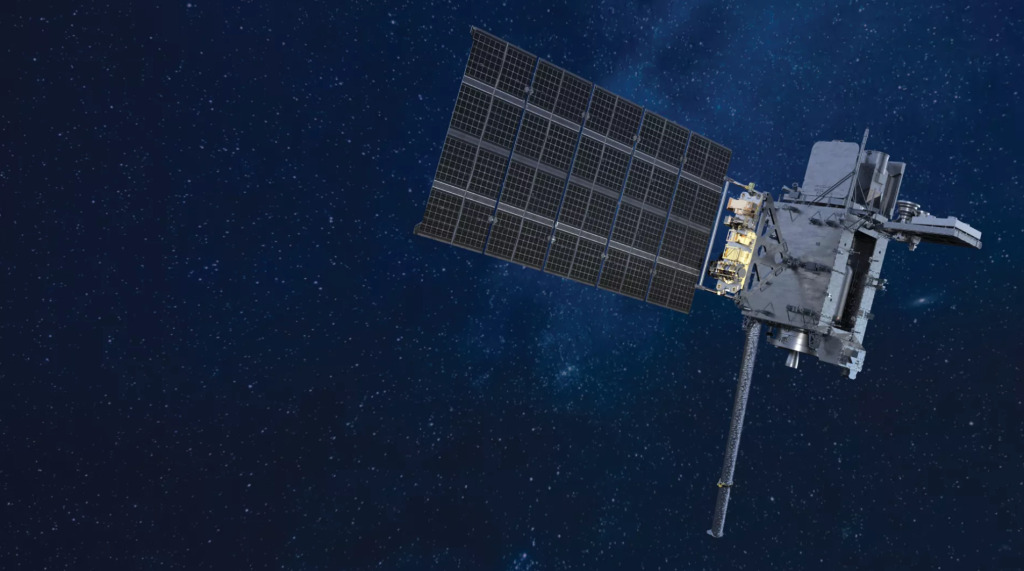
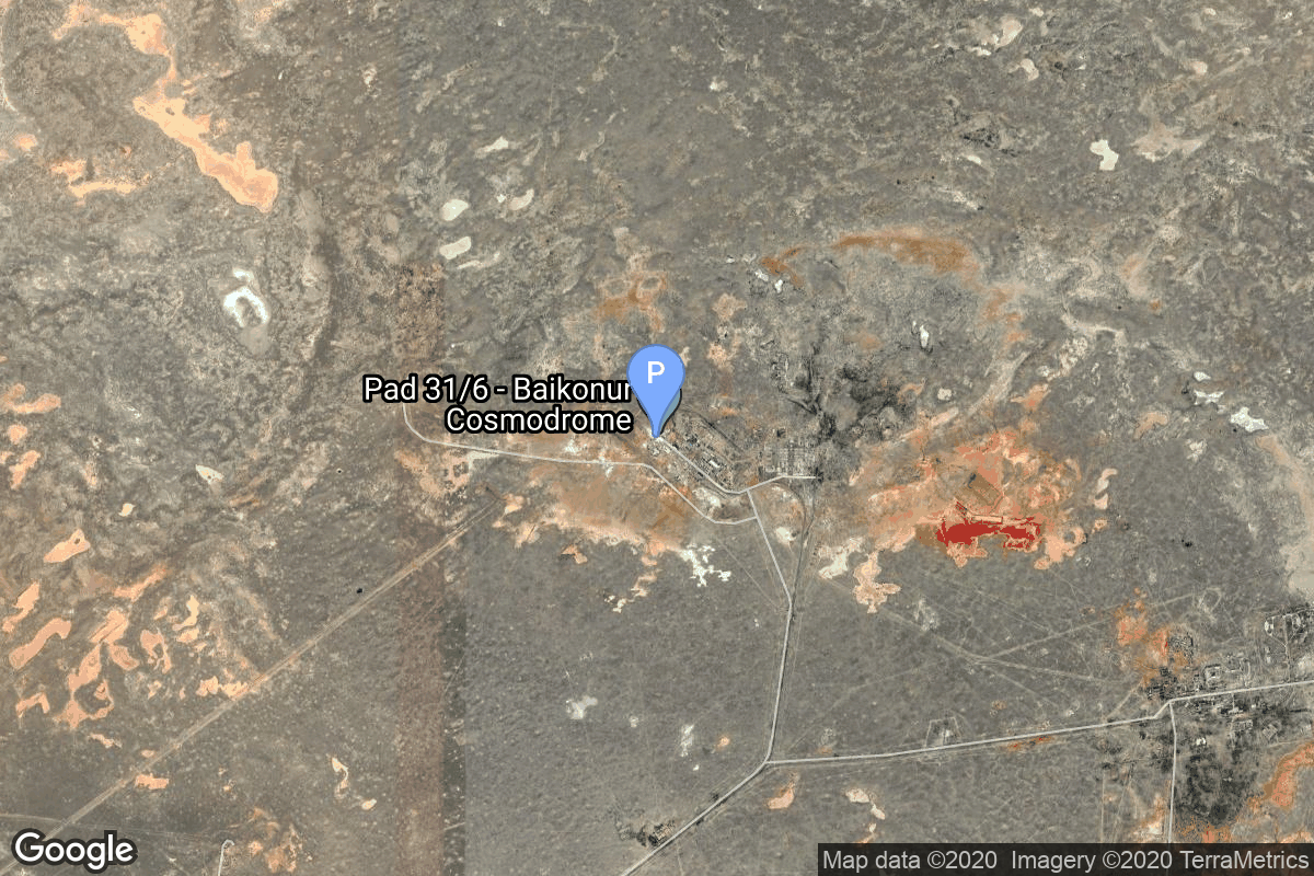
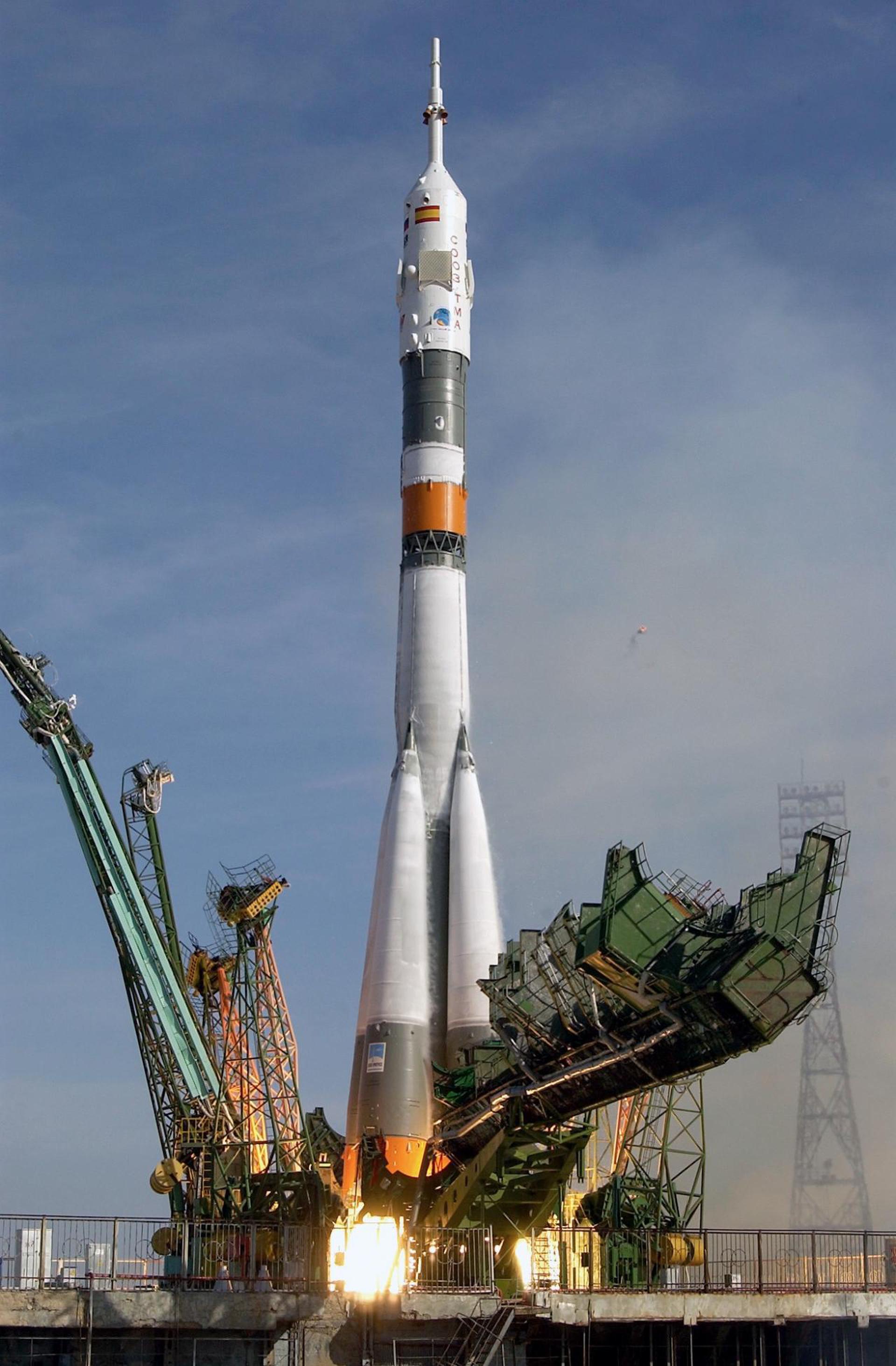
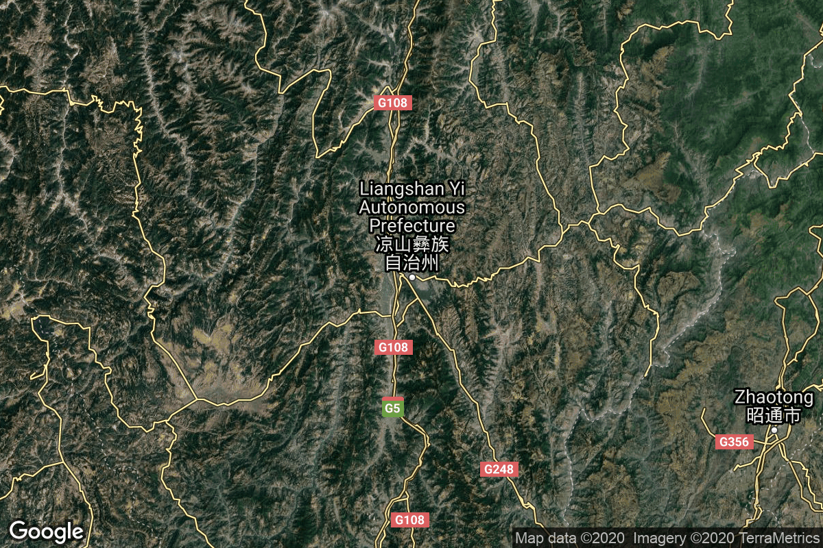
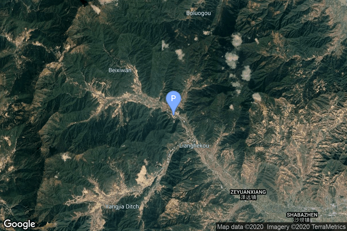
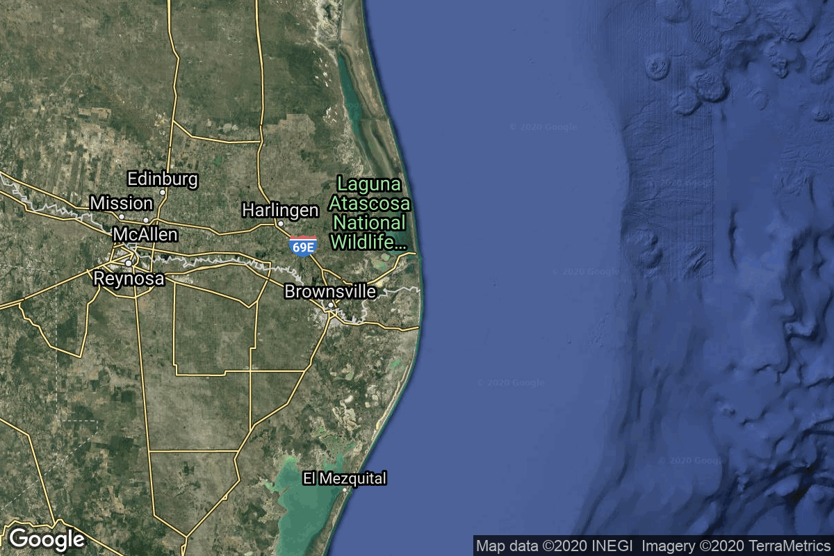
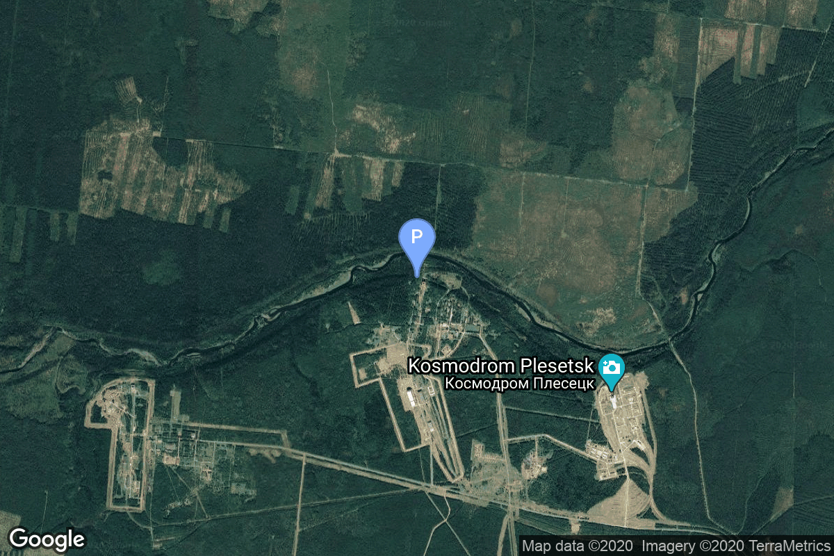
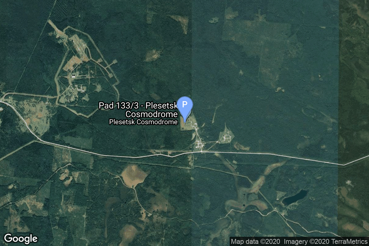
{ "count": 8136, "next": "https://lldev.thespacedevs.com/2.0.0/launch/?format=api&limit=10&offset=6300&ordering=id", "previous": "https://lldev.thespacedevs.com/2.0.0/launch/?format=api&limit=10&offset=6280&ordering=id", "results": [ { "id": "c5473ef2-a393-4755-8053-db9ee4fbfb47", "url": "https://lldev.thespacedevs.com/2.0.0/launch/c5473ef2-a393-4755-8053-db9ee4fbfb47/?format=api", "launch_library_id": null, "slug": "atlas-i-goes-10", "name": "Atlas I | GOES 10", "status": { "id": 3, "name": "Success" }, "net": "1997-04-25T05:49:01Z", "window_end": "1997-04-25T05:49:01Z", "window_start": "1997-04-25T05:49:01Z", "inhold": false, "tbdtime": false, "tbddate": false, "probability": null, "holdreason": "", "failreason": null, "hashtag": null, "launch_service_provider": { "id": 106, "url": "https://lldev.thespacedevs.com/2.0.0/agencies/106/?format=api", "name": "General Dynamics", "type": "Commercial" }, "rocket": { "id": 6777, "configuration": { "id": 252, "launch_library_id": null, "url": "https://lldev.thespacedevs.com/2.0.0/config/launcher/252/?format=api", "name": "Atlas I", "family": "Atlas", "full_name": "Atlas I", "variant": "I" } }, "mission": { "id": 5167, "launch_library_id": null, "name": "GOES 10", "description": "American meteorological satellite", "launch_designator": null, "type": "Earth Science", "orbit": { "id": 1, "name": "Geostationary Orbit", "abbrev": "Direct-GEO" } }, "pad": { "id": 122, "url": "https://lldev.thespacedevs.com/2.0.0/pad/122/?format=api", "agency_id": 161, "name": "Launch Complex 36B", "info_url": null, "wiki_url": "https://en.wikipedia.org/wiki/Cape_Canaveral_Launch_Complex_36", "map_url": "https://www.google.com/maps?q=28.4705556,-80.542194", "latitude": "28.4705556", "longitude": "-80.542194", "location": { "id": 12, "url": "https://lldev.thespacedevs.com/2.0.0/location/12/?format=api", "name": "Cape Canaveral SFS, FL, USA", "country_code": "USA", "map_image": "https://thespacedevs-dev.nyc3.digitaloceanspaces.com/media/map_images/location_12_20200803142519.jpg", "total_launch_count": 1132, "total_landing_count": 83 }, "map_image": "https://thespacedevs-dev.nyc3.digitaloceanspaces.com/media/map_images/pad_122_20200803143232.jpg", "total_launch_count": 76 }, "webcast_live": false, "image": null, "infographic": null, "program": [ { "id": 37, "url": "https://lldev.thespacedevs.com/2.0.0/program/37/?format=api", "name": "Geostationary Operational Environmental Satellite", "description": "The Geostationary Operational Environmental Satellite (GOES), operated by the United States' National Oceanic and Atmospheric Administration (NOAA)'s National Environmental Satellite, Data, and Information Service division, supports weather forecasting, severe storm tracking, and meteorology research", "agencies": [ { "id": 44, "url": "https://lldev.thespacedevs.com/2.0.0/agencies/44/?format=api", "name": "National Aeronautics and Space Administration", "type": "Government" }, { "id": 210, "url": "https://lldev.thespacedevs.com/2.0.0/agencies/210/?format=api", "name": "National Oceanic and Atmospheric Administration", "type": "Government" } ], "image_url": "https://thespacedevs-dev.nyc3.digitaloceanspaces.com/media/images/goes-u_render_image_20240623151909.jpg", "start_date": "1975-10-16T22:40:00Z", "end_date": null, "info_url": null, "wiki_url": "https://en.wikipedia.org/wiki/Geostationary_Operational_Environmental_Satellite" } ] }, { "id": "c54ba0b3-3ba5-4877-953c-9f16bef2dcfb", "url": "https://lldev.thespacedevs.com/2.0.0/launch/c54ba0b3-3ba5-4877-953c-9f16bef2dcfb/?format=api", "launch_library_id": null, "slug": "soyuz-u-zenit-2m-77", "name": "Soyuz U | Zenit-2M 77", "status": { "id": 3, "name": "Success" }, "net": "1977-05-31T07:30:00Z", "window_end": "1977-05-31T07:30:00Z", "window_start": "1977-05-31T07:30:00Z", "inhold": false, "tbdtime": false, "tbddate": false, "probability": null, "holdreason": "", "failreason": null, "hashtag": null, "launch_service_provider": { "id": 66, "url": "https://lldev.thespacedevs.com/2.0.0/agencies/66/?format=api", "name": "Soviet Space Program", "type": "Government" }, "rocket": { "id": 4833, "configuration": { "id": 37, "launch_library_id": 35, "url": "https://lldev.thespacedevs.com/2.0.0/config/launcher/37/?format=api", "name": "Soyuz U", "family": "Soyuz", "full_name": "Soyuz U", "variant": "" } }, "mission": { "id": 3250, "launch_library_id": null, "name": "Zenit-2M 77", "description": "The soviet Zenit-2M (Gektor, 11F690) was an improved version of the Zenit-2 area surveillance reconnaissance satellite. It was part of the Vostok-based Zenit-family.", "launch_designator": null, "type": "Government/Top Secret", "orbit": { "id": 8, "name": "Low Earth Orbit", "abbrev": "LEO" } }, "pad": { "id": 20, "url": "https://lldev.thespacedevs.com/2.0.0/pad/20/?format=api", "agency_id": null, "name": "31/6", "info_url": null, "wiki_url": "https://en.wikipedia.org/wiki/Baikonur_Cosmodrome_Site_31", "map_url": "https://www.google.com/maps?q=45.996034,63.564003", "latitude": "45.996034", "longitude": "63.564003", "location": { "id": 15, "url": "https://lldev.thespacedevs.com/2.0.0/location/15/?format=api", "name": "Baikonur Cosmodrome, Republic of Kazakhstan", "country_code": "KAZ", "map_image": "https://thespacedevs-dev.nyc3.digitaloceanspaces.com/media/map_images/location_15_20200803142517.jpg", "total_launch_count": 1565, "total_landing_count": 0 }, "map_image": "https://thespacedevs-dev.nyc3.digitaloceanspaces.com/media/map_images/pad_20_20200803143516.jpg", "total_launch_count": 430 }, "webcast_live": false, "image": "https://thespacedevs-dev.nyc3.digitaloceanspaces.com/media/images/soyuz2520u_image_20190222031023.jpeg", "infographic": null, "program": [] }, { "id": "c54ba22e-dafb-499e-9657-15f52d93652f", "url": "https://lldev.thespacedevs.com/2.0.0/launch/c54ba22e-dafb-499e-9657-15f52d93652f/?format=api", "launch_library_id": 1581, "slug": "long-march-3b-yz-1-beidou-3-m5-m6", "name": "Long March 3B / YZ-1 | Beidou-3 M5 & M6", "status": { "id": 3, "name": "Success" }, "net": "2018-07-29T01:48:04Z", "window_end": "2018-07-29T02:07:00Z", "window_start": "2018-07-29T01:32:00Z", "inhold": false, "tbdtime": false, "tbddate": false, "probability": null, "holdreason": "", "failreason": null, "hashtag": null, "launch_service_provider": { "id": 88, "url": "https://lldev.thespacedevs.com/2.0.0/agencies/88/?format=api", "name": "China Aerospace Science and Technology Corporation", "type": "Government" }, "rocket": { "id": 2120, "configuration": { "id": 78, "launch_library_id": 89, "url": "https://lldev.thespacedevs.com/2.0.0/config/launcher/78/?format=api", "name": "Long March 3B/YZ-1", "family": "Long March", "full_name": "Long March 3B/YZ-1", "variant": "B/YZ-1" } }, "mission": { "id": 817, "launch_library_id": 853, "name": "Beidou-3 M5 & M6", "description": "These two satellites will be used to provide global navigation coverage as part of the Chinese Beidou (Compass) satellite navigation system.", "launch_designator": null, "type": "Navigation", "orbit": { "id": 12, "name": "Medium Earth Orbit", "abbrev": "MEO" } }, "pad": { "id": 66, "url": "https://lldev.thespacedevs.com/2.0.0/pad/66/?format=api", "agency_id": 17, "name": "Launch Complex 3 (LC-3/LA-1)", "info_url": null, "wiki_url": "https://en.wikipedia.org/wiki/Xichang_Satellite_Launch_Center", "map_url": "https://www.google.com/maps?q=28.247059,102.029008", "latitude": "28.247059", "longitude": "102.029008", "location": { "id": 16, "url": "https://lldev.thespacedevs.com/2.0.0/location/16/?format=api", "name": "Xichang Satellite Launch Center, People's Republic of China", "country_code": "CHN", "map_image": "https://thespacedevs-dev.nyc3.digitaloceanspaces.com/media/map_images/location_16_20200803142513.jpg", "total_launch_count": 243, "total_landing_count": 0 }, "map_image": "https://thespacedevs-dev.nyc3.digitaloceanspaces.com/media/map_images/pad_66_20200803143611.jpg", "total_launch_count": 109 }, "webcast_live": false, "image": "https://thespacedevs-dev.nyc3.digitaloceanspaces.com/media/images/long2520march_image_20231226100006.jpeg", "infographic": null, "program": [ { "id": 35, "url": "https://lldev.thespacedevs.com/2.0.0/program/35/?format=api", "name": "BeiDou", "description": "The BeiDou Navigation Satellite System is a satellite-based radio navigation system owned and operated by the China National Space Administration.[4] It is one of the global navigation satellite systems that provide geolocation and time information to a BDS receiver anywhere on or near the Earth where there is an unobstructed line of sight to four or more BDS satellites.", "agencies": [ { "id": 17, "url": "https://lldev.thespacedevs.com/2.0.0/agencies/17/?format=api", "name": "China National Space Administration", "type": "Government" } ], "image_url": "https://thespacedevs-dev.nyc3.digitaloceanspaces.com/media/images/beidou_program_20240102170615.png", "start_date": "2000-10-31T00:00:00Z", "end_date": null, "info_url": "http://en.beidou.gov.cn/", "wiki_url": "https://en.wikipedia.org/wiki/BeiDou" } ] }, { "id": "c5566f6e-606e-4250-b8f4-477c5d82c798", "url": "https://lldev.thespacedevs.com/2.0.0/launch/c5566f6e-606e-4250-b8f4-477c5d82c798/?format=api", "launch_library_id": null, "slug": "starship-flight-7", "name": "Starship | Flight 7", "status": { "id": 4, "name": "Failure" }, "net": "2025-01-16T22:37:00Z", "window_end": "2025-01-16T23:00:00Z", "window_start": "2025-01-16T22:00:00Z", "inhold": false, "tbdtime": false, "tbddate": false, "probability": null, "holdreason": "", "failreason": "Ship 33 lost all 6 engines gradually late in ascent and was observed to have self-destructed.", "hashtag": null, "launch_service_provider": { "id": 121, "url": "https://lldev.thespacedevs.com/2.0.0/agencies/121/?format=api", "name": "SpaceX", "type": "Commercial" }, "rocket": { "id": 8424, "configuration": { "id": 527, "launch_library_id": null, "url": "https://lldev.thespacedevs.com/2.0.0/config/launcher/527/?format=api", "name": "Starship", "family": "Starship", "full_name": "Starship V2", "variant": "V2" } }, "mission": { "id": 7013, "launch_library_id": null, "name": "Flight 7", "description": "Seventh test flight of the two-stage Starship launch vehicle.", "launch_designator": null, "type": "Test Flight", "orbit": { "id": 15, "name": "Suborbital", "abbrev": "Sub" } }, "pad": { "id": 188, "url": "https://lldev.thespacedevs.com/2.0.0/pad/188/?format=api", "agency_id": 121, "name": "Orbital Launch Pad 1", "info_url": null, "wiki_url": "https://en.wikipedia.org/wiki/SpaceX_Starbase#Launch_site_(Orbital_Launch_Mount_(Pad_1_and_2))", "map_url": "https://www.google.com/maps?q=25.9962,-97.154423", "latitude": "25.9962", "longitude": "-97.154423", "location": { "id": 143, "url": "https://lldev.thespacedevs.com/2.0.0/location/143/?format=api", "name": "SpaceX Starbase, TX, USA", "country_code": "USA", "map_image": "https://thespacedevs-dev.nyc3.digitaloceanspaces.com/media/map_images/location_143_20200803142438.jpg", "total_launch_count": 23, "total_landing_count": 13 }, "map_image": "https://thespacedevs-dev.nyc3.digitaloceanspaces.com/media/map_images/pad_orbital_launch_mount_a_20210514061342.jpg", "total_launch_count": 11 }, "webcast_live": false, "image": "https://thespacedevs-dev.nyc3.digitaloceanspaces.com/media/images/starship_on_the_image_20250111100520.jpg", "infographic": null, "program": [ { "id": 1, "url": "https://lldev.thespacedevs.com/2.0.0/program/1/?format=api", "name": "SpaceX Starship", "description": "The SpaceX Starship is a fully reusable super heavy-lift launch vehicle under development by SpaceX since 2012, as a self-funded private spaceflight project. The second stage of the Starship — is designed as a long-duration cargo and passenger-carrying spacecraft. It is expected to be initially used without any booster stage at all, as part of an extensive development program to prove out launch-and-landing and iterate on a variety of design details, particularly with respect to the vehicle's atmospheric reentry.", "agencies": [ { "id": 121, "url": "https://lldev.thespacedevs.com/2.0.0/agencies/121/?format=api", "name": "SpaceX", "type": "Commercial" } ], "image_url": "https://thespacedevs-dev.nyc3.digitaloceanspaces.com/media/images/starship_on_the_image_20250111100520.jpg", "start_date": "2019-03-01T05:00:00Z", "end_date": null, "info_url": "https://www.spacex.com/vehicles/starship/", "wiki_url": "https://en.wikipedia.org/wiki/SpaceX_Starship" } ] }, { "id": "c55aedc2-a010-4d39-a26e-bc6c23b8832c", "url": "https://lldev.thespacedevs.com/2.0.0/launch/c55aedc2-a010-4d39-a26e-bc6c23b8832c/?format=api", "launch_library_id": null, "slug": "vostok-8a92-zenit-2-48", "name": "Vostok 8A92 | Zenit-2 48", "status": { "id": 3, "name": "Success" }, "net": "1967-04-04T14:00:02Z", "window_end": "1967-04-04T14:00:02Z", "window_start": "1967-04-04T14:00:02Z", "inhold": false, "tbdtime": false, "tbddate": false, "probability": null, "holdreason": "", "failreason": null, "hashtag": null, "launch_service_provider": { "id": 66, "url": "https://lldev.thespacedevs.com/2.0.0/agencies/66/?format=api", "name": "Soviet Space Program", "type": "Government" }, "rocket": { "id": 3640, "configuration": { "id": 451, "launch_library_id": null, "url": "https://lldev.thespacedevs.com/2.0.0/config/launcher/451/?format=api", "name": "Vostok 8A92", "family": "Vostok", "full_name": "Vostok 8A92", "variant": "8A92" } }, "mission": { "id": 2058, "launch_library_id": null, "name": "Zenit-2 48", "description": "Zenit-2 film-return and ELINT reconnaissance satellite.", "launch_designator": null, "type": "Government/Top Secret", "orbit": { "id": 8, "name": "Low Earth Orbit", "abbrev": "LEO" } }, "pad": { "id": 168, "url": "https://lldev.thespacedevs.com/2.0.0/pad/168/?format=api", "agency_id": null, "name": "41/1", "info_url": null, "wiki_url": "https://en.wikipedia.org/wiki/Plesetsk_Cosmodrome", "map_url": "https://www.google.com/maps?q=62.941,40.526806", "latitude": "62.941", "longitude": "40.526806", "location": { "id": 6, "url": "https://lldev.thespacedevs.com/2.0.0/location/6/?format=api", "name": "Plesetsk Cosmodrome, Russian Federation", "country_code": "RUS", "map_image": "https://thespacedevs-dev.nyc3.digitaloceanspaces.com/media/map_images/location_6_20200803142434.jpg", "total_launch_count": 1689, "total_landing_count": 0 }, "map_image": "https://thespacedevs-dev.nyc3.digitaloceanspaces.com/media/map_images/pad_168_20200803143446.jpg", "total_launch_count": 310 }, "webcast_live": false, "image": "https://thespacedevs-dev.nyc3.digitaloceanspaces.com/media/images/vostok_launch_v_image_20251119053730.jpg", "infographic": null, "program": [] }, { "id": "c55f382d-69e5-4fab-b9e2-9effd91b49a3", "url": "https://lldev.thespacedevs.com/2.0.0/launch/c55f382d-69e5-4fab-b9e2-9effd91b49a3/?format=api", "launch_library_id": null, "slug": "soyuz-u-yantar-4k1-5", "name": "Soyuz U | Yantar-4K1 5", "status": { "id": 3, "name": "Success" }, "net": "1982-08-04T11:30:00Z", "window_end": "1982-08-04T11:30:00Z", "window_start": "1982-08-04T11:30:00Z", "inhold": false, "tbdtime": false, "tbddate": false, "probability": null, "holdreason": "", "failreason": null, "hashtag": null, "launch_service_provider": { "id": 66, "url": "https://lldev.thespacedevs.com/2.0.0/agencies/66/?format=api", "name": "Soviet Space Program", "type": "Government" }, "rocket": { "id": 5430, "configuration": { "id": 37, "launch_library_id": 35, "url": "https://lldev.thespacedevs.com/2.0.0/config/launcher/37/?format=api", "name": "Soyuz U", "family": "Soyuz", "full_name": "Soyuz U", "variant": "" } }, "mission": { "id": 3836, "launch_library_id": null, "name": "Yantar-4K1 5", "description": "Second generation high resolution film-return Yantar reconnaissance satellite", "launch_designator": null, "type": "Government/Top Secret", "orbit": { "id": 8, "name": "Low Earth Orbit", "abbrev": "LEO" } }, "pad": { "id": 20, "url": "https://lldev.thespacedevs.com/2.0.0/pad/20/?format=api", "agency_id": null, "name": "31/6", "info_url": null, "wiki_url": "https://en.wikipedia.org/wiki/Baikonur_Cosmodrome_Site_31", "map_url": "https://www.google.com/maps?q=45.996034,63.564003", "latitude": "45.996034", "longitude": "63.564003", "location": { "id": 15, "url": "https://lldev.thespacedevs.com/2.0.0/location/15/?format=api", "name": "Baikonur Cosmodrome, Republic of Kazakhstan", "country_code": "KAZ", "map_image": "https://thespacedevs-dev.nyc3.digitaloceanspaces.com/media/map_images/location_15_20200803142517.jpg", "total_launch_count": 1565, "total_landing_count": 0 }, "map_image": "https://thespacedevs-dev.nyc3.digitaloceanspaces.com/media/map_images/pad_20_20200803143516.jpg", "total_launch_count": 430 }, "webcast_live": false, "image": "https://thespacedevs-dev.nyc3.digitaloceanspaces.com/media/images/soyuz2520u_image_20190222031023.jpeg", "infographic": null, "program": [] }, { "id": "c5658da2-131e-4656-9304-4ad3a3b94294", "url": "https://lldev.thespacedevs.com/2.0.0/launch/c5658da2-131e-4656-9304-4ad3a3b94294/?format=api", "launch_library_id": null, "slug": "thor-delta-e-essa-5", "name": "Thor Delta E | ESSA 5", "status": { "id": 3, "name": "Success" }, "net": "1967-04-20T11:21:10Z", "window_end": "1967-04-20T11:21:10Z", "window_start": "1967-04-20T11:21:10Z", "inhold": false, "tbdtime": false, "tbddate": false, "probability": null, "holdreason": "", "failreason": null, "hashtag": null, "launch_service_provider": { "id": 161, "url": "https://lldev.thespacedevs.com/2.0.0/agencies/161/?format=api", "name": "United States Air Force", "type": "Government" }, "rocket": { "id": 3647, "configuration": { "id": 404, "launch_library_id": null, "url": "https://lldev.thespacedevs.com/2.0.0/config/launcher/404/?format=api", "name": "Thor Delta E", "family": "Thor", "full_name": "Thor Delta E", "variant": "Delta E" } }, "mission": { "id": 2065, "launch_library_id": null, "name": "ESSA 5", "description": "The ESSA series was the second generation of US meterological satellites after the TIROS (Television & Infra-Red Observation Satellite) series. They were also called OT (Operational TIROS), TOS (TIROS Operational Satellite).", "launch_designator": null, "type": "Earth Science", "orbit": { "id": 17, "name": "Sun-Synchronous Orbit", "abbrev": "SSO" } }, "pad": { "id": 98, "url": "https://lldev.thespacedevs.com/2.0.0/pad/98/?format=api", "agency_id": 161, "name": "Space Launch Complex 2E", "info_url": null, "wiki_url": "https://en.wikipedia.org/wiki/Vandenberg_Space_Launch_Complex_2", "map_url": "https://www.google.com/maps?q=34.7516,-120.6192", "latitude": "34.7516", "longitude": "-120.6192", "location": { "id": 11, "url": "https://lldev.thespacedevs.com/2.0.0/location/11/?format=api", "name": "Vandenberg SFB, CA, USA", "country_code": "USA", "map_image": "https://thespacedevs-dev.nyc3.digitaloceanspaces.com/media/map_images/location_11_20200803142416.jpg", "total_launch_count": 924, "total_landing_count": 37 }, "map_image": "https://thespacedevs-dev.nyc3.digitaloceanspaces.com/media/map_images/pad_98_20200803143228.jpg", "total_launch_count": 47 }, "webcast_live": false, "image": "https://thespacedevs-dev.nyc3.digitaloceanspaces.com/media/images/thor_delta_e1_image_20251205041725.jpg", "infographic": null, "program": [] }, { "id": "c5676e42-4b53-4238-9a30-b865922f4582", "url": "https://lldev.thespacedevs.com/2.0.0/launch/c5676e42-4b53-4238-9a30-b865922f4582/?format=api", "launch_library_id": null, "slug": "kosmos-11k63-ds-p1-i-4", "name": "Kosmos 11K63 | DS-P1-I 4", "status": { "id": 3, "name": "Success" }, "net": "1968-09-20T14:39:59Z", "window_end": "1968-09-20T14:39:59Z", "window_start": "1968-09-20T14:39:59Z", "inhold": false, "tbdtime": false, "tbddate": false, "probability": null, "holdreason": "", "failreason": null, "hashtag": null, "launch_service_provider": { "id": 66, "url": "https://lldev.thespacedevs.com/2.0.0/agencies/66/?format=api", "name": "Soviet Space Program", "type": "Government" }, "rocket": { "id": 3824, "configuration": { "id": 327, "launch_library_id": null, "url": "https://lldev.thespacedevs.com/2.0.0/config/launcher/327/?format=api", "name": "Kosmos 11K63", "family": "Kosmos", "full_name": "Kosmos 11K63", "variant": "11K63" } }, "mission": { "id": 2242, "launch_library_id": null, "name": "DS-P1-I 4", "description": "The DS-P1-I series of satellites was used to calibrate space surveillance and early warning radars.", "launch_designator": null, "type": "Test Target", "orbit": { "id": 8, "name": "Low Earth Orbit", "abbrev": "LEO" } }, "pad": { "id": 3, "url": "https://lldev.thespacedevs.com/2.0.0/pad/3/?format=api", "agency_id": 163, "name": "133/3 (133L)", "info_url": null, "wiki_url": "", "map_url": "https://www.google.com/maps?q=62.886999,40.846984", "latitude": "62.886999", "longitude": "40.846984", "location": { "id": 6, "url": "https://lldev.thespacedevs.com/2.0.0/location/6/?format=api", "name": "Plesetsk Cosmodrome, Russian Federation", "country_code": "RUS", "map_image": "https://thespacedevs-dev.nyc3.digitaloceanspaces.com/media/map_images/location_6_20200803142434.jpg", "total_launch_count": 1689, "total_landing_count": 0 }, "map_image": "https://thespacedevs-dev.nyc3.digitaloceanspaces.com/media/map_images/pad_3_20200803143438.jpg", "total_launch_count": 159 }, "webcast_live": false, "image": "https://thespacedevs-dev.nyc3.digitaloceanspaces.com/media/images/kosmos_11k63_image_20251104091702.jpg", "infographic": null, "program": [] }, { "id": "c56ddab4-0eea-47f8-bf94-5be15ad9312e", "url": "https://lldev.thespacedevs.com/2.0.0/launch/c56ddab4-0eea-47f8-bf94-5be15ad9312e/?format=api", "launch_library_id": null, "slug": "soyuz-u-pvb-globalstar-29343961", "name": "Soyuz-U-PVB | Globalstar 29,34,39,61", "status": { "id": 3, "name": "Success" }, "net": "1999-11-22T16:20:00Z", "window_end": "1999-11-22T16:20:00Z", "window_start": "1999-11-22T16:20:00Z", "inhold": false, "tbdtime": false, "tbddate": false, "probability": null, "holdreason": "", "failreason": null, "hashtag": null, "launch_service_provider": { "id": 63, "url": "https://lldev.thespacedevs.com/2.0.0/agencies/63/?format=api", "name": "Russian Federal Space Agency (ROSCOSMOS)", "type": "Government" }, "rocket": { "id": 6954, "configuration": { "id": 378, "launch_library_id": null, "url": "https://lldev.thespacedevs.com/2.0.0/config/launcher/378/?format=api", "name": "Soyuz-U-PVB", "family": "Soyuz", "full_name": "Soyuz-U-PVB", "variant": "U-PVB" } }, "mission": { "id": 5343, "launch_library_id": null, "name": "Globalstar 29,34,39,61", "description": "The Globalstar global mobile communications network offers global, digital real time voice, data and fax via a constellation of 48 minisatellites. The constellation operates in a 1410 km orbit inclined at 52 degrees, and will also have 8 spares. The satellites were built by Space Systems Loral and Alenia Aerospazio in Rome, Italy.", "launch_designator": null, "type": "Communications", "orbit": { "id": 8, "name": "Low Earth Orbit", "abbrev": "LEO" } }, "pad": { "id": 32, "url": "https://lldev.thespacedevs.com/2.0.0/pad/32/?format=api", "agency_id": null, "name": "1/5", "info_url": null, "wiki_url": "", "map_url": "https://www.google.com/maps?q=45.92,63.342", "latitude": "45.92", "longitude": "63.342", "location": { "id": 15, "url": "https://lldev.thespacedevs.com/2.0.0/location/15/?format=api", "name": "Baikonur Cosmodrome, Republic of Kazakhstan", "country_code": "KAZ", "map_image": "https://thespacedevs-dev.nyc3.digitaloceanspaces.com/media/map_images/location_15_20200803142517.jpg", "total_launch_count": 1565, "total_landing_count": 0 }, "map_image": "https://thespacedevs-dev.nyc3.digitaloceanspaces.com/media/map_images/pad_32_20200803143513.jpg", "total_launch_count": 487 }, "webcast_live": false, "image": "https://thespacedevs-dev.nyc3.digitaloceanspaces.com/media/images/soyuz-u_image_20191229074852.jpg", "infographic": null, "program": [] }, { "id": "c5772baf-3879-455e-b4dc-e92433f06aae", "url": "https://lldev.thespacedevs.com/2.0.0/launch/c5772baf-3879-455e-b4dc-e92433f06aae/?format=api", "launch_library_id": null, "slug": "delta-3910-tve", "name": "Delta 3910 | TVE", "status": { "id": 3, "name": "Success" }, "net": "1988-02-08T22:07:00Z", "window_end": "1988-02-08T22:07:00Z", "window_start": "1988-02-08T22:07:00Z", "inhold": false, "tbdtime": false, "tbddate": false, "probability": null, "holdreason": "", "failreason": null, "hashtag": null, "launch_service_provider": { "id": 161, "url": "https://lldev.thespacedevs.com/2.0.0/agencies/161/?format=api", "name": "United States Air Force", "type": "Government" }, "rocket": { "id": 6037, "configuration": { "id": 288, "launch_library_id": null, "url": "https://lldev.thespacedevs.com/2.0.0/config/launcher/288/?format=api", "name": "Delta 3910", "family": "Delta", "full_name": "Delta 3910", "variant": "3910" } }, "mission": { "id": 4428, "launch_library_id": null, "name": "TVE", "description": "Second Delta/SDI mission", "launch_designator": null, "type": "Government/Top Secret", "orbit": { "id": 8, "name": "Low Earth Orbit", "abbrev": "LEO" } }, "pad": { "id": 1, "url": "https://lldev.thespacedevs.com/2.0.0/pad/1/?format=api", "agency_id": null, "name": "Space Launch Complex 17B", "info_url": null, "wiki_url": "https://en.wikipedia.org/wiki/Cape_Canaveral_Space_Launch_Complex_17", "map_url": "https://www.google.com/maps?q=28.4458,-80.5657", "latitude": "28.4458", "longitude": "-80.5657", "location": { "id": 12, "url": "https://lldev.thespacedevs.com/2.0.0/location/12/?format=api", "name": "Cape Canaveral SFS, FL, USA", "country_code": "USA", "map_image": "https://thespacedevs-dev.nyc3.digitaloceanspaces.com/media/map_images/location_12_20200803142519.jpg", "total_launch_count": 1132, "total_landing_count": 83 }, "map_image": "https://thespacedevs-dev.nyc3.digitaloceanspaces.com/media/map_images/pad_1_20200803143208.jpg", "total_launch_count": 132 }, "webcast_live": false, "image": "https://thespacedevs-dev.nyc3.digitaloceanspaces.com/media/images/delta_3910_image_20231231105538.jpeg", "infographic": null, "program": [] } ] }