Launch List
API endpoint that returns all Launch objects or a single launch.
EXAMPLE - /launch/
GET: Return a list of all Launch objects.
FILTERS: Fields - 'name', 'id(s)', 'lsp_id', 'lsp_name', 'serial_number', 'launcher_config__id', 'rocket__spacecraftflight__spacecraft__name'
MODE: 'normal', 'list', 'detailed' EXAMPLE: ?mode=list
SEARCH: Searches through the launch name, rocket name, launch agency, mission name & spacecraft name. EXAMPLE - ?search=SpaceX
GET /2.0.0/launch/?format=api&offset=6280&ordering=id
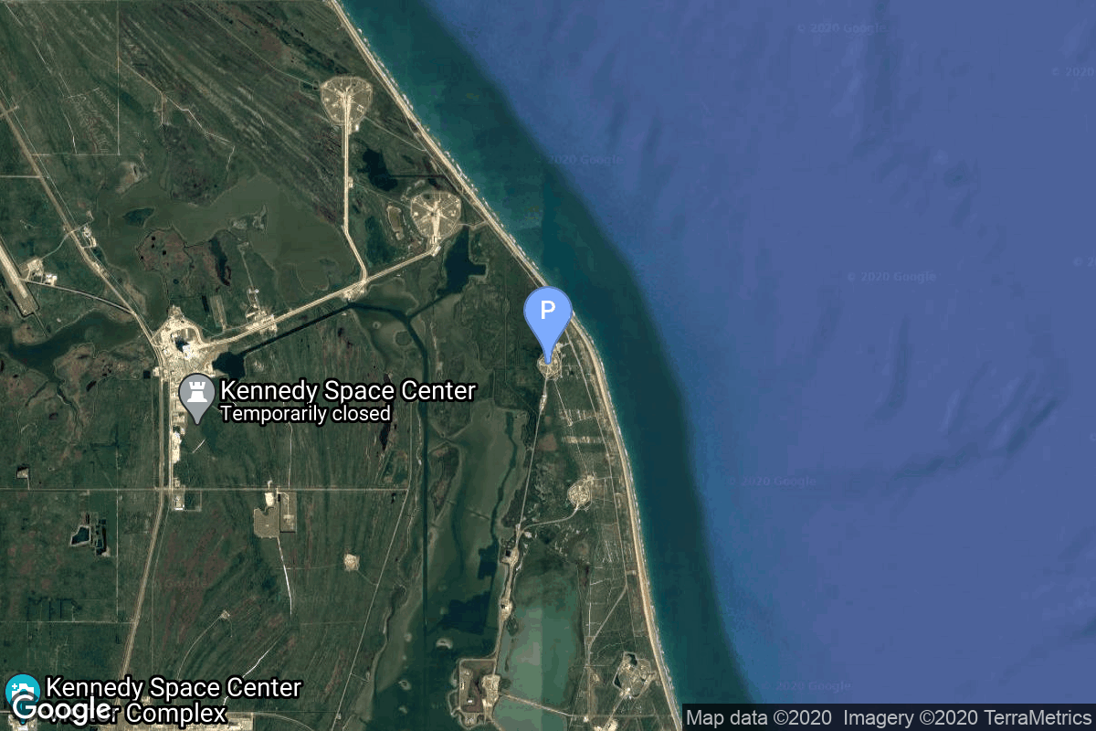
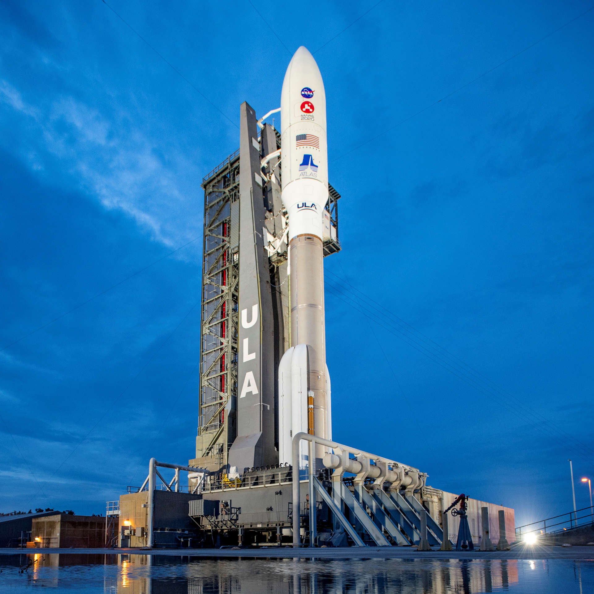
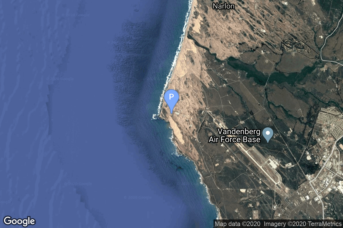
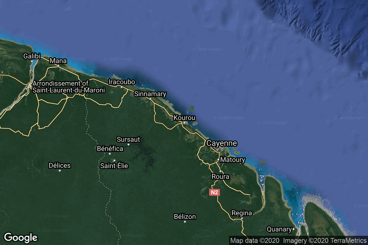
{ "count": 8136, "next": "https://lldev.thespacedevs.com/2.0.0/launch/?format=api&limit=10&offset=6290&ordering=id", "previous": "https://lldev.thespacedevs.com/2.0.0/launch/?format=api&limit=10&offset=6270&ordering=id", "results": [ { "id": "c4db6995-f25f-4608-8eb9-ce95d5226af2", "url": "https://lldev.thespacedevs.com/2.0.0/launch/c4db6995-f25f-4608-8eb9-ce95d5226af2/?format=api", "launch_library_id": 1081, "slug": "atlas-v-541-mars-2020-perseverance-rover-ingenuity", "name": "Atlas V 541 | Mars 2020 (Perseverance rover & Ingenuity helicopter)", "status": { "id": 3, "name": "Success" }, "net": "2020-07-30T11:50:00Z", "window_end": "2020-07-30T13:50:00Z", "window_start": "2020-07-30T11:50:00Z", "inhold": false, "tbdtime": false, "tbddate": false, "probability": 90, "holdreason": "", "failreason": null, "hashtag": null, "launch_service_provider": { "id": 124, "url": "https://lldev.thespacedevs.com/2.0.0/agencies/124/?format=api", "name": "United Launch Alliance", "type": "Commercial" }, "rocket": { "id": 157, "configuration": { "id": 1, "launch_library_id": 2, "url": "https://lldev.thespacedevs.com/2.0.0/config/launcher/1/?format=api", "name": "Atlas V 541", "family": "Atlas", "full_name": "Atlas V 541", "variant": "541" } }, "mission": { "id": 1126, "launch_library_id": 1323, "name": "Mars 2020 (Perseverance rover & Ingenuity helicopter)", "description": "Atop this ULA Atlas V rocket will be Perseverance, a car-sized rover which will explore an ancient river delta on Mars. Armed with a suite of six scientific instruments, Perseverance will primarily hunt for clues to the planet's distant past, and hopefully uncover signs of ancient life and habitability. The rover also carries an experiment that'll convert carbon dioxide into oxygen, a box-sized helicopter named Ingenuity that'll demonstrate powered flight on Mars, and a system that enables the rover to leave behind samples for later retrieval and return to Earth during NASA and ESA's ambitious sample return mission later this decade.", "launch_designator": null, "type": "Robotic Exploration", "orbit": { "id": 6, "name": "Heliocentric N/A", "abbrev": "Helio-N/A" } }, "pad": { "id": 29, "url": "https://lldev.thespacedevs.com/2.0.0/pad/29/?format=api", "agency_id": null, "name": "Space Launch Complex 41", "info_url": null, "wiki_url": "https://en.wikipedia.org/wiki/Cape_Canaveral_Air_Force_Station_Space_Launch_Complex_41", "map_url": "https://www.google.com/maps?q=28.58341025,-80.58303644", "latitude": "28.58341025", "longitude": "-80.58303644", "location": { "id": 12, "url": "https://lldev.thespacedevs.com/2.0.0/location/12/?format=api", "name": "Cape Canaveral SFS, FL, USA", "country_code": "USA", "map_image": "https://thespacedevs-dev.nyc3.digitaloceanspaces.com/media/map_images/location_12_20200803142519.jpg", "total_launch_count": 1132, "total_landing_count": 83 }, "map_image": "https://thespacedevs-dev.nyc3.digitaloceanspaces.com/media/map_images/pad_29_20200803143528.jpg", "total_launch_count": 125 }, "webcast_live": false, "image": "https://thespacedevs-dev.nyc3.digitaloceanspaces.com/media/images/atlas2520v252_image_20200729144937.jpg", "infographic": "https://thespacedevs-dev.nyc3.digitaloceanspaces.com/media/infographic_images/atlas2520v252_infographic_20200806042150.png", "program": [ { "id": 36, "url": "https://lldev.thespacedevs.com/2.0.0/program/36/?format=api", "name": "NASA Large Strategic Science Missions", "description": "NASA's large strategic science missions or large strategic missions, formerly known as Flagship missions or Flagship-class missions, are the costliest and most capable NASA science spacecraft. Flagship missions exist within all four divisions of NASA's Science Mission Directorate (SMD): the astrophysics, Earth science, heliophysics and planetary science divisions.", "agencies": [ { "id": 44, "url": "https://lldev.thespacedevs.com/2.0.0/agencies/44/?format=api", "name": "National Aeronautics and Space Administration", "type": "Government" } ], "image_url": "https://thespacedevs-dev.nyc3.digitaloceanspaces.com/media/images/nasa2520large_program_20240205122003.jpeg", "start_date": "1975-08-22T00:00:00Z", "end_date": null, "info_url": null, "wiki_url": "https://en.wikipedia.org/wiki/Large_strategic_science_missions" } ] }, { "id": "c4ef4614-99bb-4da4-ab0c-180ec2faf6cc", "url": "https://lldev.thespacedevs.com/2.0.0/launch/c4ef4614-99bb-4da4-ab0c-180ec2faf6cc/?format=api", "launch_library_id": null, "slug": "thor-agena-a-discoverer-3", "name": "Thor Agena A | Discoverer 3", "status": { "id": 4, "name": "Failure" }, "net": "1959-06-03T20:09:20Z", "window_end": "1959-06-03T20:09:20Z", "window_start": "1959-06-03T20:09:20Z", "inhold": false, "tbdtime": false, "tbddate": false, "probability": null, "holdreason": "", "failreason": null, "hashtag": null, "launch_service_provider": { "id": 161, "url": "https://lldev.thespacedevs.com/2.0.0/agencies/161/?format=api", "name": "United States Air Force", "type": "Government" }, "rocket": { "id": 3040, "configuration": { "id": 392, "launch_library_id": null, "url": "https://lldev.thespacedevs.com/2.0.0/config/launcher/392/?format=api", "name": "Thor Agena A", "family": "Thor", "full_name": "Thor Agena A", "variant": "Agena A" } }, "mission": { "id": 1462, "launch_library_id": null, "name": "Discoverer 3", "description": "The Discoverer 3 reconnaissance satellite failed to reach orbit due to a failure of the Agena A upper stage.", "launch_designator": null, "type": "Government/Top Secret", "orbit": { "id": 13, "name": "Polar Orbit", "abbrev": "PO" } }, "pad": { "id": 95, "url": "https://lldev.thespacedevs.com/2.0.0/pad/95/?format=api", "agency_id": 161, "name": "Space Launch Complex 1W", "info_url": null, "wiki_url": "https://en.wikipedia.org/wiki/Vandenberg_Space_Launch_Complex_1", "map_url": "https://www.google.com/maps?q=34.7572,-120.6303", "latitude": "34.7572", "longitude": "-120.6303", "location": { "id": 11, "url": "https://lldev.thespacedevs.com/2.0.0/location/11/?format=api", "name": "Vandenberg SFB, CA, USA", "country_code": "USA", "map_image": "https://thespacedevs-dev.nyc3.digitaloceanspaces.com/media/map_images/location_11_20200803142416.jpg", "total_launch_count": 924, "total_landing_count": 37 }, "map_image": "https://thespacedevs-dev.nyc3.digitaloceanspaces.com/media/map_images/pad_95_20200803143209.jpg", "total_launch_count": 56 }, "webcast_live": false, "image": null, "infographic": null, "program": [] }, { "id": "c4f09b34-bfaa-4502-a477-1913abca44a2", "url": "https://lldev.thespacedevs.com/2.0.0/launch/c4f09b34-bfaa-4502-a477-1913abca44a2/?format=api", "launch_library_id": 709, "slug": "zenit-3f-spektr-r-radioastron", "name": "Zenit-3F | Spektr-R (RadioAstron)", "status": { "id": 3, "name": "Success" }, "net": "2011-07-18T02:31:18Z", "window_end": "2011-07-18T02:31:18Z", "window_start": "2011-07-18T02:31:18Z", "inhold": false, "tbdtime": false, "tbddate": false, "probability": null, "holdreason": "", "failreason": "", "hashtag": null, "launch_service_provider": { "id": 63, "url": "https://lldev.thespacedevs.com/2.0.0/agencies/63/?format=api", "name": "Russian Federal Space Agency (ROSCOSMOS)", "type": "Government" }, "rocket": { "id": 1540, "configuration": { "id": 58, "launch_library_id": 63, "url": "https://lldev.thespacedevs.com/2.0.0/config/launcher/58/?format=api", "name": "Zenit 3F", "family": "Zenith", "full_name": "Zenit", "variant": "" } }, "mission": { "id": 144, "launch_library_id": 747, "name": "Spektr-R (RadioAstron)", "description": "The RadioAstron is an international space Very Long Baseline Interferometry project led by the Astro Space Center of Lebedev Physical Institute in Moscow, Russia. The aim of the mission is to use the Spektr-R space telescope to conduct interferometer observations in conjunction with the global ground radio telescope network in order to obtain images, coordinates, motions and evolution of angular structure of different radio emitting objects in the Universe with the extraordinary high angular resolution.", "launch_designator": null, "type": "Astrophysics", "orbit": { "id": 0, "name": "Elliptical Orbit", "abbrev": "Elliptical" } }, "pad": { "id": 2, "url": "https://lldev.thespacedevs.com/2.0.0/pad/2/?format=api", "agency_id": null, "name": "45/1", "info_url": null, "wiki_url": "", "map_url": "https://www.google.com/maps?q=45.943492,63.653014", "latitude": "45.943492", "longitude": "63.653014", "location": { "id": 15, "url": "https://lldev.thespacedevs.com/2.0.0/location/15/?format=api", "name": "Baikonur Cosmodrome, Republic of Kazakhstan", "country_code": "KAZ", "map_image": "https://thespacedevs-dev.nyc3.digitaloceanspaces.com/media/map_images/location_15_20200803142517.jpg", "total_launch_count": 1565, "total_landing_count": 0 }, "map_image": "https://thespacedevs-dev.nyc3.digitaloceanspaces.com/media/map_images/pad_2_20200803143256.jpg", "total_launch_count": 47 }, "webcast_live": false, "image": null, "infographic": null, "program": [] }, { "id": "c4f0a192-7af6-4a8d-b868-6b17a8db0b9a", "url": "https://lldev.thespacedevs.com/2.0.0/launch/c4f0a192-7af6-4a8d-b868-6b17a8db0b9a/?format=api", "launch_library_id": null, "slug": "ariane-44l-jcsat-2a", "name": "Ariane 44L | JCSAT 2A", "status": { "id": 3, "name": "Success" }, "net": "2002-03-29T01:29:00Z", "window_end": "2002-03-29T01:29:00Z", "window_start": "2002-03-29T01:29:00Z", "inhold": false, "tbdtime": false, "tbddate": false, "probability": null, "holdreason": "", "failreason": null, "hashtag": null, "launch_service_provider": { "id": 115, "url": "https://lldev.thespacedevs.com/2.0.0/agencies/115/?format=api", "name": "Arianespace", "type": "Commercial" }, "rocket": { "id": 7081, "configuration": { "id": 225, "launch_library_id": null, "url": "https://lldev.thespacedevs.com/2.0.0/config/launcher/225/?format=api", "name": "Ariane 44L", "family": "Ariane", "full_name": "Ariane 44L", "variant": "44L" } }, "mission": { "id": 5470, "launch_library_id": null, "name": "JCSAT 2A", "description": "Japanese domestic communications", "launch_designator": null, "type": "Communications", "orbit": { "id": 3, "name": "Geosynchronous Orbit", "abbrev": "GSO" } }, "pad": { "id": 124, "url": "https://lldev.thespacedevs.com/2.0.0/pad/124/?format=api", "agency_id": 115, "name": "Ariane Launch Area 2", "info_url": null, "wiki_url": "https://en.wikipedia.org/wiki/ELA-2", "map_url": "https://www.google.com/maps?q=5.232,-52.778194", "latitude": "5.232", "longitude": "-52.778194", "location": { "id": 13, "url": "https://lldev.thespacedevs.com/2.0.0/location/13/?format=api", "name": "Guiana Space Centre, French Guiana", "country_code": "GUF", "map_image": "https://thespacedevs-dev.nyc3.digitaloceanspaces.com/media/map_images/location_13_20200803142412.jpg", "total_launch_count": 336, "total_landing_count": 0 }, "map_image": "https://thespacedevs-dev.nyc3.digitaloceanspaces.com/media/map_images/pad_124_20200803143241.jpg", "total_launch_count": 119 }, "webcast_live": false, "image": "https://thespacedevs-dev.nyc3.digitaloceanspaces.com/media/images/ariane_44l_at_e_image_20240401082337.jpg", "infographic": null, "program": [] }, { "id": "c4f2d8e3-6c5b-4855-9b12-743b1808f6c6", "url": "https://lldev.thespacedevs.com/2.0.0/launch/c4f2d8e3-6c5b-4855-9b12-743b1808f6c6/?format=api", "launch_library_id": 1289, "slug": "pslv-xl-cartosat-2e", "name": "PSLV XL | Cartosat-2E", "status": { "id": 3, "name": "Success" }, "net": "2017-06-23T03:59:00Z", "window_end": "2017-06-23T07:30:00Z", "window_start": "2017-06-23T03:30:00Z", "inhold": false, "tbdtime": false, "tbddate": false, "probability": null, "holdreason": "", "failreason": null, "hashtag": null, "launch_service_provider": { "id": 31, "url": "https://lldev.thespacedevs.com/2.0.0/agencies/31/?format=api", "name": "Indian Space Research Organization", "type": "Government" }, "rocket": { "id": 2011, "configuration": { "id": 38, "launch_library_id": 38, "url": "https://lldev.thespacedevs.com/2.0.0/config/launcher/38/?format=api", "name": "PSLV-XL", "family": "PSLV", "full_name": "PSLV XL", "variant": "XL" } }, "mission": { "id": 416, "launch_library_id": 537, "name": "Cartosat-2E", "description": "Cartosat-2E is seventh of Cartosat series of Earth observation satellites to be deployed in 500 km sun-synchronous orbit. Its main purpose is to collect high resolution large-scale maps which will be used for urban planning, infrastructure development, utilities planning and traffic management.", "launch_designator": null, "type": "Earth Science", "orbit": { "id": 17, "name": "Sun-Synchronous Orbit", "abbrev": "SSO" } }, "pad": { "id": 50, "url": "https://lldev.thespacedevs.com/2.0.0/pad/50/?format=api", "agency_id": 31, "name": "Satish Dhawan Space Centre First Launch Pad", "info_url": null, "wiki_url": "https://en.wikipedia.org/wiki/Satish_Dhawan_Space_Centre_First_Launch_Pad", "map_url": "https://www.google.com/maps?q=13.733,80.235", "latitude": "13.733", "longitude": "80.235", "location": { "id": 14, "url": "https://lldev.thespacedevs.com/2.0.0/location/14/?format=api", "name": "Satish Dhawan Space Centre, India", "country_code": "IND", "map_image": "https://thespacedevs-dev.nyc3.digitaloceanspaces.com/media/map_images/location_14_20200803142403.jpg", "total_launch_count": 106, "total_landing_count": 0 }, "map_image": "https://thespacedevs-dev.nyc3.digitaloceanspaces.com/media/map_images/pad_50_20200803143457.jpg", "total_launch_count": 64 }, "webcast_live": false, "image": "https://thespacedevs-dev.nyc3.digitaloceanspaces.com/media/images/pslv_image_20190224012254.jpeg", "infographic": null, "program": [] }, { "id": "c50abd63-f523-4dbb-ba53-5ef27c4afb24", "url": "https://lldev.thespacedevs.com/2.0.0/launch/c50abd63-f523-4dbb-ba53-5ef27c4afb24/?format=api", "launch_library_id": null, "slug": "zenit-xm-2", "name": "Zenit | XM-2", "status": { "id": 3, "name": "Success" }, "net": "2001-03-18T22:33:30Z", "window_end": "2001-03-18T22:33:30Z", "window_start": "2001-03-18T22:33:30Z", "inhold": false, "tbdtime": false, "tbddate": false, "probability": null, "holdreason": "", "failreason": null, "hashtag": null, "launch_service_provider": { "id": 122, "url": "https://lldev.thespacedevs.com/2.0.0/agencies/122/?format=api", "name": "Sea Launch", "type": "Commercial" }, "rocket": { "id": 7036, "configuration": { "id": 11, "launch_library_id": 12, "url": "https://lldev.thespacedevs.com/2.0.0/config/launcher/11/?format=api", "name": "Zenit", "family": "Zenith", "full_name": "Zenit 3SL", "variant": "3SL" } }, "mission": { "id": 5425, "launch_library_id": null, "name": "XM-2", "description": "Hughes Space and Communications International, Inc., now Boeing Satellite Systems, Inc., and XM Satellite Radio Inc. (XMTM) signed a contract 23 March 1998, for two BSS-702 model satellites, named XM 1 and XM 2 (nicknamed \"Rock\" and \"Roll\"). These satellites are designed to provide state-of-the-art digital audio radio programming directly to cars, homes and portable radios coast to coast.", "launch_designator": null, "type": "Communications", "orbit": { "id": 2, "name": "Geostationary Transfer Orbit", "abbrev": "GTO" } }, "pad": { "id": 13, "url": "https://lldev.thespacedevs.com/2.0.0/pad/13/?format=api", "agency_id": 80, "name": "Launch Platform Odyssey", "info_url": null, "wiki_url": "https://en.wikipedia.org/wiki/Odyssey_(launch_platform)", "map_url": "https://www.google.com/maps?q=0.0,-154", "latitude": "0.0", "longitude": "-154.0", "location": { "id": 3, "url": "https://lldev.thespacedevs.com/2.0.0/location/3/?format=api", "name": "Sea Launch", "country_code": "???", "map_image": "https://thespacedevs-dev.nyc3.digitaloceanspaces.com/media/map_images/location_3_20200803142448.jpg", "total_launch_count": 40, "total_landing_count": 0 }, "map_image": "https://thespacedevs-dev.nyc3.digitaloceanspaces.com/media/map_images/pad_13_20200803143257.jpg", "total_launch_count": 36 }, "webcast_live": false, "image": null, "infographic": null, "program": [] }, { "id": "c5143274-17b9-4940-ad88-c834a31735a2", "url": "https://lldev.thespacedevs.com/2.0.0/launch/c5143274-17b9-4940-ad88-c834a31735a2/?format=api", "launch_library_id": 594, "slug": "proton-m-briz-m-ekspress-am-5", "name": "Proton-M Briz-M | Ekspress AM-5", "status": { "id": 3, "name": "Success" }, "net": "2013-12-26T10:49:56Z", "window_end": "2013-12-26T10:49:56Z", "window_start": "2013-12-26T10:49:56Z", "inhold": false, "tbdtime": false, "tbddate": false, "probability": null, "holdreason": "", "failreason": null, "hashtag": null, "launch_service_provider": { "id": 96, "url": "https://lldev.thespacedevs.com/2.0.0/agencies/96/?format=api", "name": "Khrunichev State Research and Production Space Center", "type": "Government" }, "rocket": { "id": 1730, "configuration": { "id": 22, "launch_library_id": 4, "url": "https://lldev.thespacedevs.com/2.0.0/config/launcher/22/?format=api", "name": "Proton-M Briz-M", "family": "Proton / UR-500", "full_name": "Proton-M Briz-M", "variant": "Briz-M" } }, "mission": null, "pad": { "id": 7, "url": "https://lldev.thespacedevs.com/2.0.0/pad/7/?format=api", "agency_id": null, "name": "81/24 (81P)", "info_url": null, "wiki_url": "", "map_url": "https://www.google.com/maps?q=46.071001,62.984999", "latitude": "46.071001", "longitude": "62.984999", "location": { "id": 15, "url": "https://lldev.thespacedevs.com/2.0.0/location/15/?format=api", "name": "Baikonur Cosmodrome, Republic of Kazakhstan", "country_code": "KAZ", "map_image": "https://thespacedevs-dev.nyc3.digitaloceanspaces.com/media/map_images/location_15_20200803142517.jpg", "total_launch_count": 1565, "total_landing_count": 0 }, "map_image": "https://thespacedevs-dev.nyc3.digitaloceanspaces.com/media/map_images/pad_7_20200803143454.jpg", "total_launch_count": 93 }, "webcast_live": false, "image": "https://thespacedevs-dev.nyc3.digitaloceanspaces.com/media/images/proton-m2520briz-m_image_20190224012317.jpeg", "infographic": null, "program": [] }, { "id": "c5211a26-1af9-4fcf-8072-828fe874f404", "url": "https://lldev.thespacedevs.com/2.0.0/launch/c5211a26-1af9-4fcf-8072-828fe874f404/?format=api", "launch_library_id": null, "slug": "long-march-2csd-iridium-76-78", "name": "Long March 2C/SD | Iridium 76 & 78", "status": { "id": 3, "name": "Success" }, "net": "1998-08-19T23:01:46Z", "window_end": "1998-08-19T23:01:46Z", "window_start": "1998-08-19T23:01:46Z", "inhold": false, "tbdtime": false, "tbddate": false, "probability": null, "holdreason": "", "failreason": "", "hashtag": null, "launch_service_provider": { "id": 189, "url": "https://lldev.thespacedevs.com/2.0.0/agencies/189/?format=api", "name": "China Aerospace Corporation", "type": "Government" }, "rocket": { "id": 6871, "configuration": { "id": 267, "launch_library_id": null, "url": "https://lldev.thespacedevs.com/2.0.0/config/launcher/267/?format=api", "name": "Long March 2C/SD", "family": "Long March", "full_name": "Long March 2C/SD", "variant": "C/SD" } }, "mission": { "id": 5261, "launch_library_id": null, "name": "Iridium 76 & 78", "description": "Iridium provides global mobile telecommunications services using a constellation of 66 low earth orbit satellites in a 86.4° inclined orbit. Although 77 satellites were originally envisioned for the system and spawned the name based on the 77th element in the periodic table, the system has been scaled back. Motorola's Satellite Communications Group designed and manufactured the Iridium satellites with Lockheed Martin providing the LM-700A spacecraft buses.", "launch_designator": null, "type": "Communications", "orbit": { "id": 8, "name": "Low Earth Orbit", "abbrev": "LEO" } }, "pad": { "id": 33, "url": "https://lldev.thespacedevs.com/2.0.0/pad/33/?format=api", "agency_id": null, "name": "Launch Complex 7", "info_url": null, "wiki_url": null, "map_url": "https://www.google.com/maps?q=38.8489311,111.6079339", "latitude": "38.8489311", "longitude": "111.6079339", "location": { "id": 19, "url": "https://lldev.thespacedevs.com/2.0.0/location/19/?format=api", "name": "Taiyuan Satellite Launch Center, People's Republic of China", "country_code": "CHN", "map_image": "https://thespacedevs-dev.nyc3.digitaloceanspaces.com/media/map_images/location_19_20200803142421.jpg", "total_launch_count": 163, "total_landing_count": 0 }, "map_image": "https://thespacedevs-dev.nyc3.digitaloceanspaces.com/media/map_images/pad_33_20200803143335.jpg", "total_launch_count": 32 }, "webcast_live": false, "image": "https://thespacedevs-dev.nyc3.digitaloceanspaces.com/media/images/long_march_2c-i_image_20210908194304.jpeg", "infographic": null, "program": [ { "id": 28, "url": "https://lldev.thespacedevs.com/2.0.0/program/28/?format=api", "name": "Iridium Constellation", "description": "The Iridium satellite constellation provides L band voice and data information coverage to satellite phones, satellite messenger communication devices and integrated transceivers.", "agencies": [ { "id": 202, "url": "https://lldev.thespacedevs.com/2.0.0/agencies/202/?format=api", "name": "Iridium Communications", "type": "Commercial" } ], "image_url": "https://thespacedevs-dev.nyc3.digitaloceanspaces.com/media/images/iridium2520con_program_20231228184831.jpeg", "start_date": "1997-05-05T00:00:00Z", "end_date": null, "info_url": "https://iridium.com/", "wiki_url": "https://en.wikipedia.org/wiki/Iridium_satellite_constellation" } ] }, { "id": "c53514ad-9ade-48ed-b7ca-7f492c081836", "url": "https://lldev.thespacedevs.com/2.0.0/launch/c53514ad-9ade-48ed-b7ca-7f492c081836/?format=api", "launch_library_id": null, "slug": "molniya-m-molniya-1t-73", "name": "Molniya-M | Molniya-1T 73", "status": { "id": 3, "name": "Success" }, "net": "1988-08-12T12:53:00Z", "window_end": "1988-08-12T12:53:00Z", "window_start": "1988-08-12T12:53:00Z", "inhold": false, "tbdtime": false, "tbddate": false, "probability": null, "holdreason": "", "failreason": null, "hashtag": null, "launch_service_provider": { "id": 66, "url": "https://lldev.thespacedevs.com/2.0.0/agencies/66/?format=api", "name": "Soviet Space Program", "type": "Government" }, "rocket": { "id": 6097, "configuration": { "id": 106, "launch_library_id": 126, "url": "https://lldev.thespacedevs.com/2.0.0/config/launcher/106/?format=api", "name": "Molniya-M", "family": "R-7", "full_name": "Molniya-M 2BL", "variant": "2BL" } }, "mission": { "id": 4487, "launch_library_id": null, "name": "Molniya-1T 73", "description": "Military communications satellite in a highly elliptic orbit", "launch_designator": null, "type": "Communications", "orbit": { "id": 0, "name": "Elliptical Orbit", "abbrev": "Elliptical" } }, "pad": { "id": 168, "url": "https://lldev.thespacedevs.com/2.0.0/pad/168/?format=api", "agency_id": null, "name": "41/1", "info_url": null, "wiki_url": "https://en.wikipedia.org/wiki/Plesetsk_Cosmodrome", "map_url": "https://www.google.com/maps?q=62.941,40.526806", "latitude": "62.941", "longitude": "40.526806", "location": { "id": 6, "url": "https://lldev.thespacedevs.com/2.0.0/location/6/?format=api", "name": "Plesetsk Cosmodrome, Russian Federation", "country_code": "RUS", "map_image": "https://thespacedevs-dev.nyc3.digitaloceanspaces.com/media/map_images/location_6_20200803142434.jpg", "total_launch_count": 1689, "total_landing_count": 0 }, "map_image": "https://thespacedevs-dev.nyc3.digitaloceanspaces.com/media/map_images/pad_168_20200803143446.jpg", "total_launch_count": 310 }, "webcast_live": false, "image": "https://thespacedevs-dev.nyc3.digitaloceanspaces.com/media/images/molniya_m_image_20251102061752.jpg", "infographic": null, "program": [] }, { "id": "c53ff696-2b54-4d05-8834-572064ac51f2", "url": "https://lldev.thespacedevs.com/2.0.0/launch/c53ff696-2b54-4d05-8834-572064ac51f2/?format=api", "launch_library_id": null, "slug": "proton-gorizont-31", "name": "Proton | Gorizont 31", "status": { "id": 3, "name": "Success" }, "net": "1996-01-25T09:56:00Z", "window_end": "1996-01-25T09:56:00Z", "window_start": "1996-01-25T09:56:00Z", "inhold": false, "tbdtime": false, "tbddate": false, "probability": null, "holdreason": "", "failreason": null, "hashtag": null, "launch_service_provider": { "id": 96, "url": "https://lldev.thespacedevs.com/2.0.0/agencies/96/?format=api", "name": "Khrunichev State Research and Production Space Center", "type": "Government" }, "rocket": { "id": 6708, "configuration": { "id": 80, "launch_library_id": 99, "url": "https://lldev.thespacedevs.com/2.0.0/config/launcher/80/?format=api", "name": "Proton", "family": "Proton / UR-500", "full_name": "Proton K/DM-2", "variant": "K/DM-2" } }, "mission": { "id": 5098, "launch_library_id": null, "name": "Gorizont 31", "description": "Geostationary communications satellite", "launch_designator": null, "type": "Communications", "orbit": { "id": 1, "name": "Geostationary Orbit", "abbrev": "Direct-GEO" } }, "pad": { "id": 15, "url": "https://lldev.thespacedevs.com/2.0.0/pad/15/?format=api", "agency_id": null, "name": "200/39 (200L)", "info_url": null, "wiki_url": "", "map_url": "https://www.google.com/maps?q=46.039984,63.032093", "latitude": "46.039984", "longitude": "63.032093", "location": { "id": 15, "url": "https://lldev.thespacedevs.com/2.0.0/location/15/?format=api", "name": "Baikonur Cosmodrome, Republic of Kazakhstan", "country_code": "KAZ", "map_image": "https://thespacedevs-dev.nyc3.digitaloceanspaces.com/media/map_images/location_15_20200803142517.jpg", "total_launch_count": 1565, "total_landing_count": 0 }, "map_image": "https://thespacedevs-dev.nyc3.digitaloceanspaces.com/media/map_images/pad_15_20200803143530.jpg", "total_launch_count": 167 }, "webcast_live": false, "image": "https://thespacedevs-dev.nyc3.digitaloceanspaces.com/media/images/proton_image_20231231095535.jpg", "infographic": null, "program": [] } ] }