Launch List
API endpoint that returns all Launch objects or a single launch.
EXAMPLE - /launch/
GET: Return a list of all Launch objects.
FILTERS: Fields - 'name', 'id(s)', 'lsp_id', 'lsp_name', 'serial_number', 'launcher_config__id', 'rocket__spacecraftflight__spacecraft__name'
MODE: 'normal', 'list', 'detailed' EXAMPLE: ?mode=list
SEARCH: Searches through the launch name, rocket name, launch agency, mission name & spacecraft name. EXAMPLE - ?search=SpaceX
GET /2.0.0/launch/?format=api&offset=6240&ordering=-id
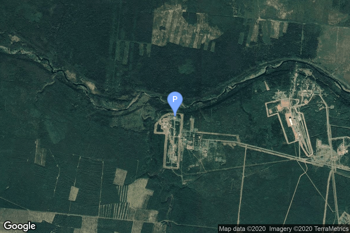
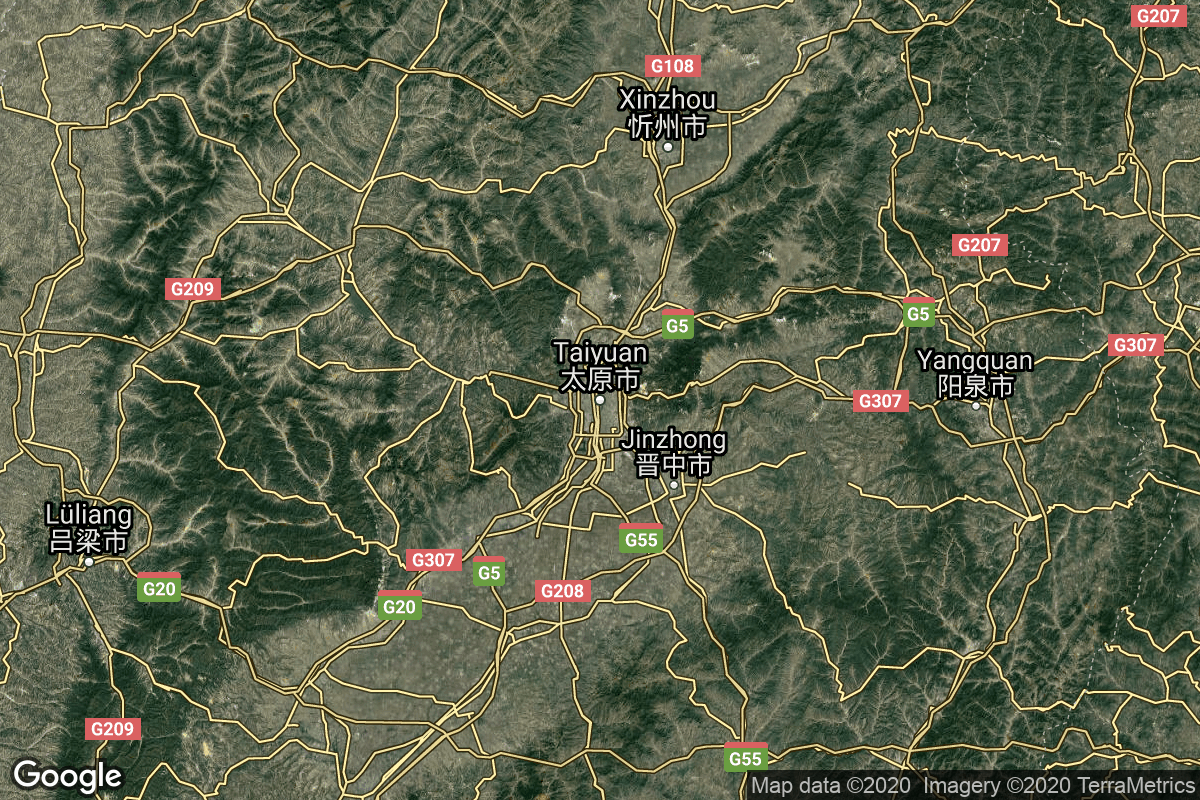
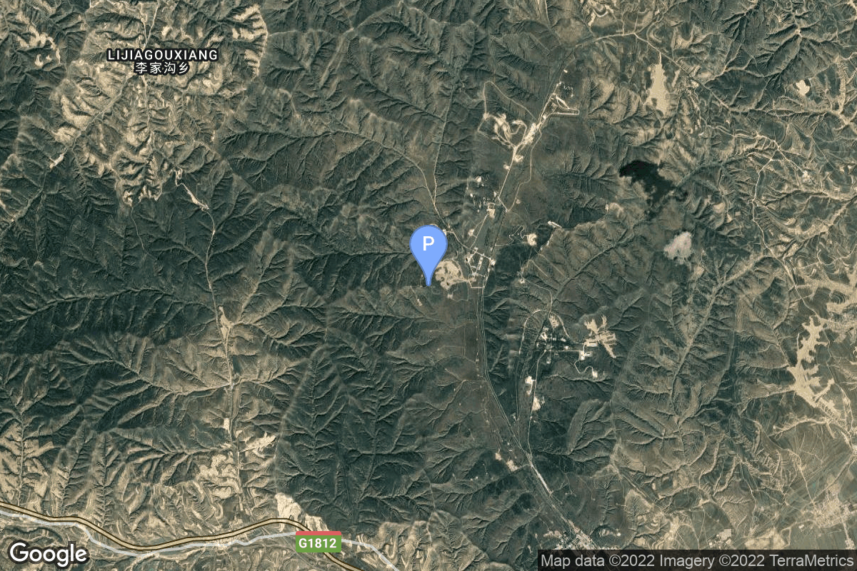
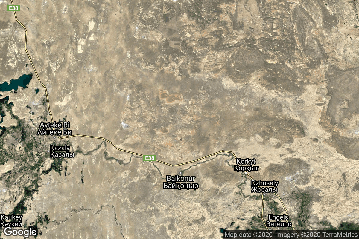
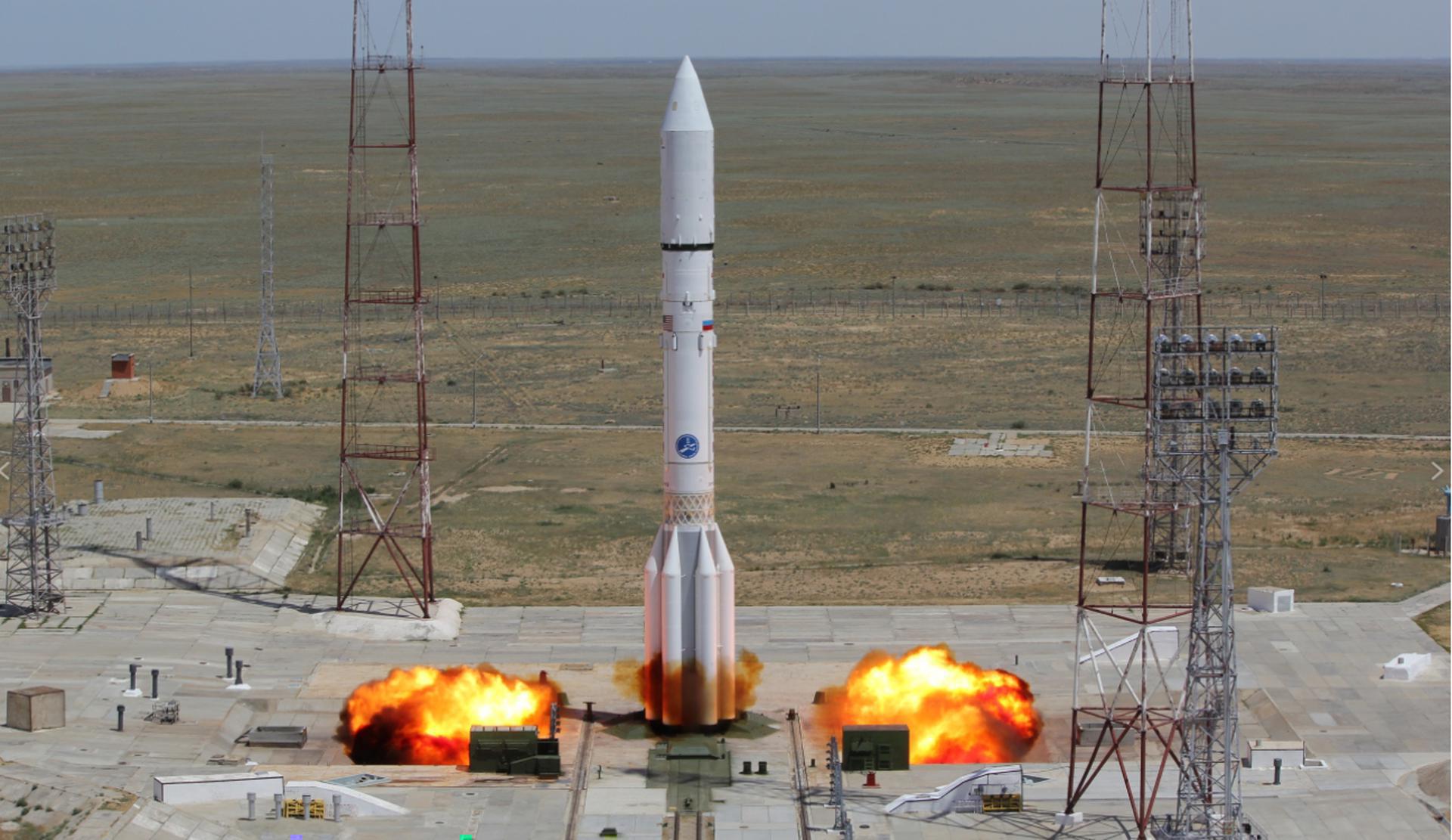
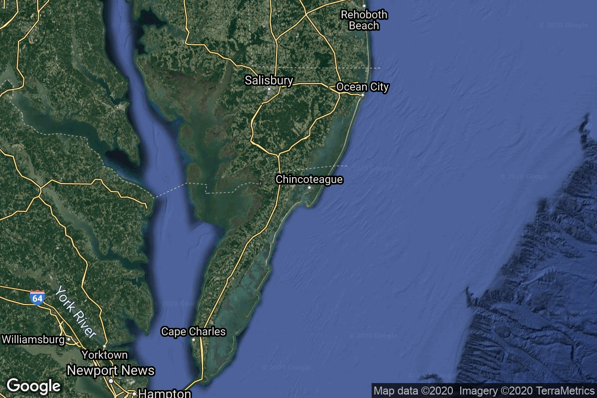
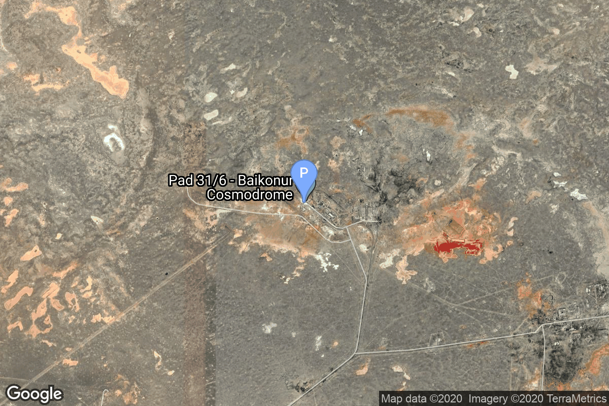
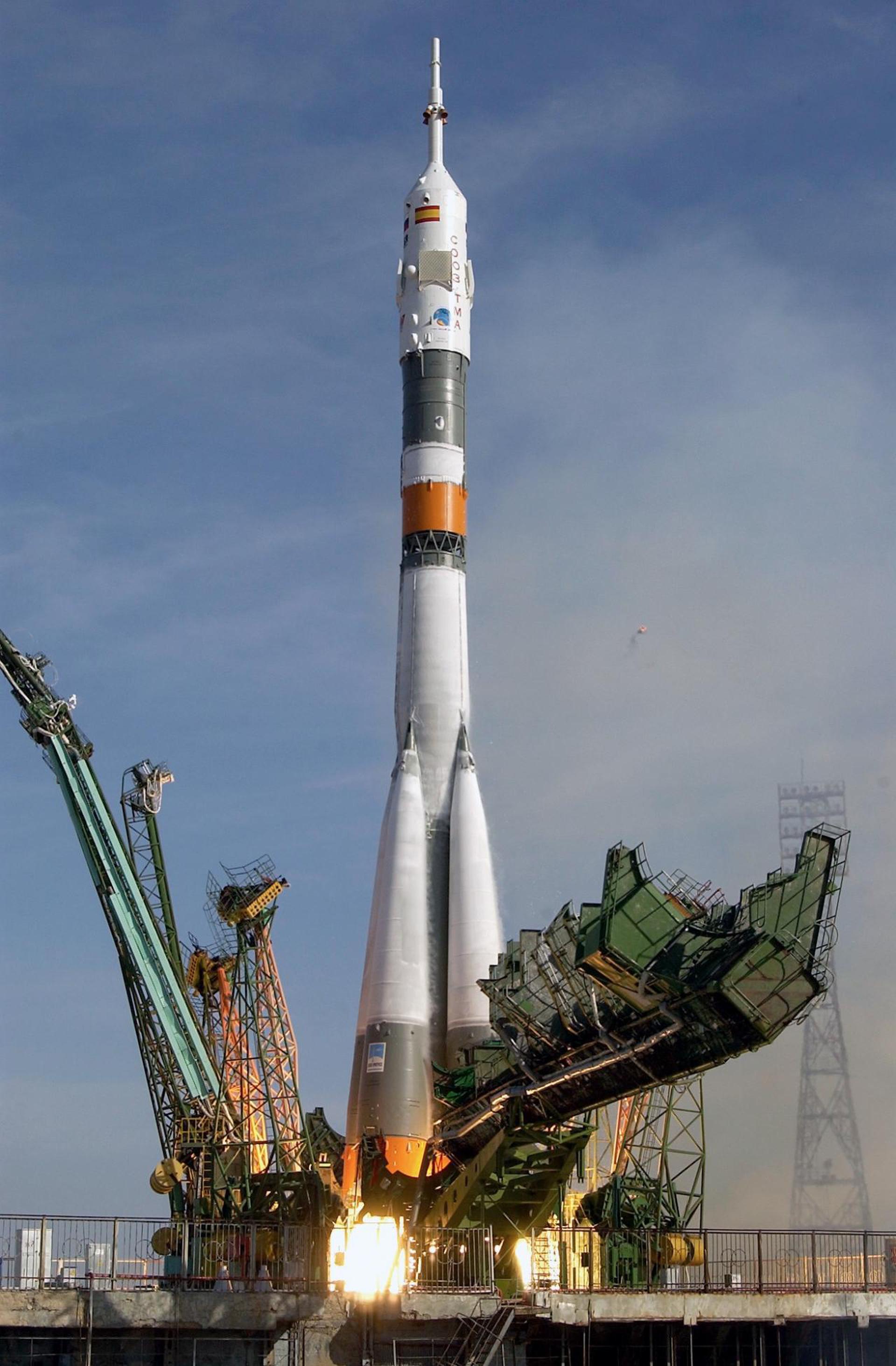
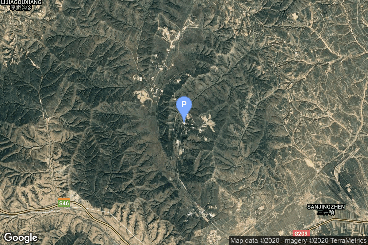
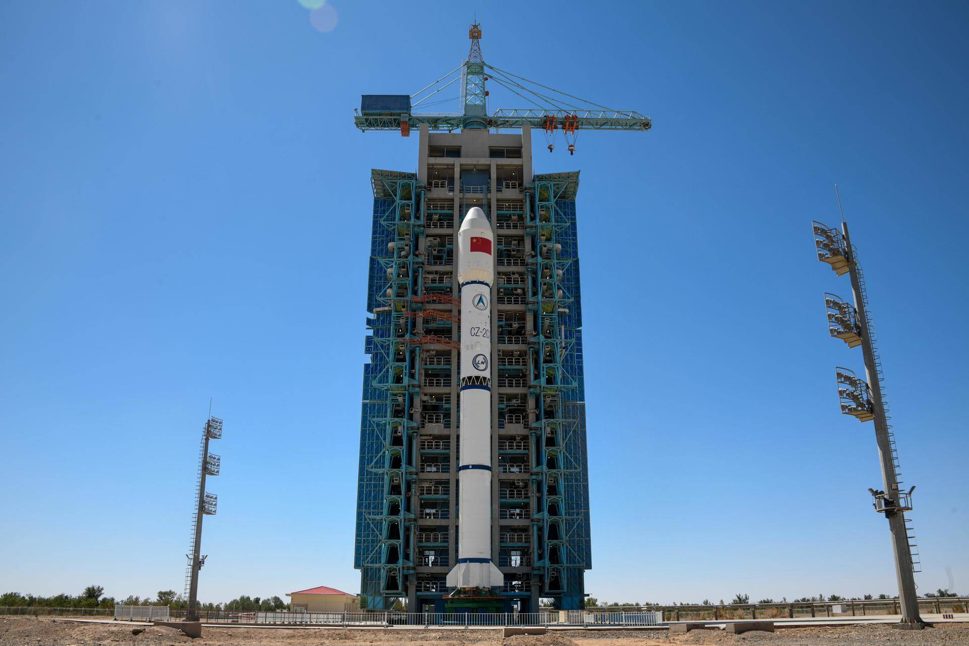
{ "count": 8136, "next": "https://lldev.thespacedevs.com/2.0.0/launch/?format=api&limit=10&offset=6250&ordering=-id", "previous": "https://lldev.thespacedevs.com/2.0.0/launch/?format=api&limit=10&offset=6230&ordering=-id", "results": [ { "id": "3ccf9406-3d10-4e9f-9712-06b2433e303d", "url": "https://lldev.thespacedevs.com/2.0.0/launch/3ccf9406-3d10-4e9f-9712-06b2433e303d/?format=api", "launch_library_id": null, "slug": "vulcan-vc6l-amazon-leo-lv-23", "name": "Vulcan VC6L | Amazon Leo (LV-23)", "status": { "id": 2, "name": "TBD" }, "net": "2029-12-31T00:00:00Z", "window_end": "2029-12-31T00:00:00Z", "window_start": "2029-12-31T00:00:00Z", "inhold": false, "tbdtime": true, "tbddate": true, "probability": null, "holdreason": "", "failreason": "", "hashtag": null, "launch_service_provider": { "id": 124, "url": "https://lldev.thespacedevs.com/2.0.0/agencies/124/?format=api", "name": "United Launch Alliance", "type": "Commercial" }, "rocket": { "id": 9182, "configuration": { "id": 479, "launch_library_id": null, "url": "https://lldev.thespacedevs.com/2.0.0/config/launcher/479/?format=api", "name": "Vulcan VC6L", "family": "Vulcan", "full_name": "Vulcan VC6L", "variant": "VC6L" } }, "mission": { "id": 7781, "launch_library_id": null, "name": "Amazon Leo (LV-23)", "description": "Amazon Leo, formerly known as Project Kuiper, is a mega constellation of satellites in Low Earth Orbit that will offer broadband internet access, this constellation will be managed by Kuiper Systems LLC, a subsidiary of Amazon. This constellation is planned to be composed of 3,276 satellites. The satellites are projected to be placed in 98 orbital planes in three orbital layers, one at 590 km, 610 km and 630 km altitude.\r\n\r\n45 satellites will be carried on each Vulcan launch.", "launch_designator": null, "type": "Communications", "orbit": { "id": 8, "name": "Low Earth Orbit", "abbrev": "LEO" } }, "pad": { "id": 29, "url": "https://lldev.thespacedevs.com/2.0.0/pad/29/?format=api", "agency_id": null, "name": "Space Launch Complex 41", "info_url": null, "wiki_url": "https://en.wikipedia.org/wiki/Cape_Canaveral_Air_Force_Station_Space_Launch_Complex_41", "map_url": "https://www.google.com/maps?q=28.58341025,-80.58303644", "latitude": "28.58341025", "longitude": "-80.58303644", "location": { "id": 12, "url": "https://lldev.thespacedevs.com/2.0.0/location/12/?format=api", "name": "Cape Canaveral SFS, FL, USA", "country_code": "USA", "map_image": "https://thespacedevs-dev.nyc3.digitaloceanspaces.com/media/map_images/location_12_20200803142519.jpg", "total_launch_count": 1132, "total_landing_count": 83 }, "map_image": "https://thespacedevs-dev.nyc3.digitaloceanspaces.com/media/map_images/pad_29_20200803143528.jpg", "total_launch_count": 125 }, "webcast_live": false, "image": "https://thespacedevs-dev.nyc3.digitaloceanspaces.com/media/images/vulcan_vc6l_image_20220406123130.jpg", "infographic": null, "program": [ { "id": 27, "url": "https://lldev.thespacedevs.com/2.0.0/program/27/?format=api", "name": "Amazon Leo", "description": "Amazon Leo is a satellite internet constellation aimed at providing high-speed, low-latency broadband connectivity to underserved and remote areas globally. The project involves deploying a constellation of low Earth orbit (LEO) satellites to create a satellite internet network capable of delivering reliable internet access.", "agencies": [ { "id": 1058, "url": "https://lldev.thespacedevs.com/2.0.0/agencies/1058/?format=api", "name": "Amazon Leo", "type": "Private" } ], "image_url": "https://thespacedevs-dev.nyc3.digitaloceanspaces.com/media/images/project2520kui_program_20231228165031.jpeg", "start_date": "2023-10-16T18:06:00Z", "end_date": null, "info_url": "https://en.wikipedia.org/wiki/Kuiper_Systems", "wiki_url": "https://aboutamazon.com/what-we-do/devices-services/project-kuiper" } ] }, { "id": "3cc86666-7027-4e39-a5d0-c896551d2d97", "url": "https://lldev.thespacedevs.com/2.0.0/launch/3cc86666-7027-4e39-a5d0-c896551d2d97/?format=api", "launch_library_id": null, "slug": "molniya-m-molniya-1-19", "name": "Molniya-M | Molniya-1 19", "status": { "id": 3, "name": "Success" }, "net": "1971-12-19T22:50:12Z", "window_end": "1971-12-19T22:50:12Z", "window_start": "1971-12-19T22:50:12Z", "inhold": false, "tbdtime": false, "tbddate": false, "probability": null, "holdreason": "", "failreason": null, "hashtag": null, "launch_service_provider": { "id": 66, "url": "https://lldev.thespacedevs.com/2.0.0/agencies/66/?format=api", "name": "Soviet Space Program", "type": "Government" }, "rocket": { "id": 4214, "configuration": { "id": 106, "launch_library_id": 126, "url": "https://lldev.thespacedevs.com/2.0.0/config/launcher/106/?format=api", "name": "Molniya-M", "family": "R-7", "full_name": "Molniya-M 2BL", "variant": "2BL" } }, "mission": { "id": 2632, "launch_library_id": null, "name": "Molniya-1 19", "description": "The Molniya were Soviet communication satellites operating from an inclined highly elliptical earth orbit of 500 km × 40000 km with 12 hour period for coverage of high northern latitudes.", "launch_designator": null, "type": "Communications", "orbit": { "id": 0, "name": "Elliptical Orbit", "abbrev": "Elliptical" } }, "pad": { "id": 85, "url": "https://lldev.thespacedevs.com/2.0.0/pad/85/?format=api", "agency_id": 163, "name": "43/4 (43R)", "info_url": null, "wiki_url": null, "map_url": "https://www.google.com/maps?q=62.92883,40.457098", "latitude": "62.92883", "longitude": "40.457098", "location": { "id": 6, "url": "https://lldev.thespacedevs.com/2.0.0/location/6/?format=api", "name": "Plesetsk Cosmodrome, Russian Federation", "country_code": "RUS", "map_image": "https://thespacedevs-dev.nyc3.digitaloceanspaces.com/media/map_images/location_6_20200803142434.jpg", "total_launch_count": 1689, "total_landing_count": 0 }, "map_image": "https://thespacedevs-dev.nyc3.digitaloceanspaces.com/media/map_images/pad_85_20200803143554.jpg", "total_launch_count": 329 }, "webcast_live": false, "image": "https://thespacedevs-dev.nyc3.digitaloceanspaces.com/media/images/molniya_m_image_20251102061752.jpg", "infographic": null, "program": [] }, { "id": "3ca4b91e-972b-4f01-86ff-ca77f524fd39", "url": "https://lldev.thespacedevs.com/2.0.0/launch/3ca4b91e-972b-4f01-86ff-ca77f524fd39/?format=api", "launch_library_id": null, "slug": "delta-1910-oso-8", "name": "Delta 1910 | OSO 8", "status": { "id": 3, "name": "Success" }, "net": "1975-06-21T11:43:00Z", "window_end": "1975-06-21T11:43:00Z", "window_start": "1975-06-21T11:43:00Z", "inhold": false, "tbdtime": false, "tbddate": false, "probability": null, "holdreason": "", "failreason": null, "hashtag": null, "launch_service_provider": { "id": 161, "url": "https://lldev.thespacedevs.com/2.0.0/agencies/161/?format=api", "name": "United States Air Force", "type": "Government" }, "rocket": { "id": 4598, "configuration": { "id": 280, "launch_library_id": null, "url": "https://lldev.thespacedevs.com/2.0.0/config/launcher/280/?format=api", "name": "Delta 1910", "family": "Delta", "full_name": "Delta 1910", "variant": "1910" } }, "mission": { "id": 3016, "launch_library_id": null, "name": "OSO 8", "description": "Solar observatory satellite", "launch_designator": null, "type": "Heliophysics", "orbit": { "id": 8, "name": "Low Earth Orbit", "abbrev": "LEO" } }, "pad": { "id": 1, "url": "https://lldev.thespacedevs.com/2.0.0/pad/1/?format=api", "agency_id": null, "name": "Space Launch Complex 17B", "info_url": null, "wiki_url": "https://en.wikipedia.org/wiki/Cape_Canaveral_Space_Launch_Complex_17", "map_url": "https://www.google.com/maps?q=28.4458,-80.5657", "latitude": "28.4458", "longitude": "-80.5657", "location": { "id": 12, "url": "https://lldev.thespacedevs.com/2.0.0/location/12/?format=api", "name": "Cape Canaveral SFS, FL, USA", "country_code": "USA", "map_image": "https://thespacedevs-dev.nyc3.digitaloceanspaces.com/media/map_images/location_12_20200803142519.jpg", "total_launch_count": 1132, "total_landing_count": 83 }, "map_image": "https://thespacedevs-dev.nyc3.digitaloceanspaces.com/media/map_images/pad_1_20200803143208.jpg", "total_launch_count": 132 }, "webcast_live": false, "image": null, "infographic": null, "program": [] }, { "id": "3c89db1e-82d7-413d-8e34-bbc01bbc5eaa", "url": "https://lldev.thespacedevs.com/2.0.0/launch/3c89db1e-82d7-413d-8e34-bbc01bbc5eaa/?format=api", "launch_library_id": null, "slug": "long-march-6a-tianhui-5-group-02", "name": "Long March 6A | Tianhui 5 Group 02", "status": { "id": 3, "name": "Success" }, "net": "2024-07-04T22:49:00Z", "window_end": "2024-07-04T23:33:00Z", "window_start": "2024-07-04T22:41:00Z", "inhold": false, "tbdtime": false, "tbddate": false, "probability": null, "holdreason": "", "failreason": "", "hashtag": null, "launch_service_provider": { "id": 88, "url": "https://lldev.thespacedevs.com/2.0.0/agencies/88/?format=api", "name": "China Aerospace Science and Technology Corporation", "type": "Government" }, "rocket": { "id": 8276, "configuration": { "id": 478, "launch_library_id": null, "url": "https://lldev.thespacedevs.com/2.0.0/config/launcher/478/?format=api", "name": "Long March 6A", "family": "Long March", "full_name": "Long March 6A", "variant": "A" } }, "mission": { "id": 6857, "launch_library_id": null, "name": "Tianhui 5 Group 02", "description": "A pair of satellites officially described as for cartographic surveying purposes, details TBD.", "launch_designator": null, "type": "Government/Top Secret", "orbit": { "id": 17, "name": "Sun-Synchronous Orbit", "abbrev": "SSO" } }, "pad": { "id": 200, "url": "https://lldev.thespacedevs.com/2.0.0/pad/200/?format=api", "agency_id": null, "name": "Launch Complex 9A", "info_url": null, "wiki_url": null, "map_url": "https://www.google.com/maps?q=38.8583,111.5802", "latitude": "38.8583", "longitude": "111.5802", "location": { "id": 19, "url": "https://lldev.thespacedevs.com/2.0.0/location/19/?format=api", "name": "Taiyuan Satellite Launch Center, People's Republic of China", "country_code": "CHN", "map_image": "https://thespacedevs-dev.nyc3.digitaloceanspaces.com/media/map_images/location_19_20200803142421.jpg", "total_launch_count": 163, "total_landing_count": 0 }, "map_image": "https://thespacedevs-dev.nyc3.digitaloceanspaces.com/media/map_images/pad_launch_complex_9a_20220330003717.jpg", "total_launch_count": 30 }, "webcast_live": false, "image": "https://thespacedevs-dev.nyc3.digitaloceanspaces.com/media/images/long_march_6a__image_20251209050223.jpeg", "infographic": null, "program": [] }, { "id": "3c7228a6-0fd7-45eb-8050-f669f02dd81a", "url": "https://lldev.thespacedevs.com/2.0.0/launch/3c7228a6-0fd7-45eb-8050-f669f02dd81a/?format=api", "launch_library_id": null, "slug": "tsiklon-2-us-pm-4", "name": "Tsiklon-2 | US-PM 4", "status": { "id": 3, "name": "Success" }, "net": "1993-09-17T00:43:10Z", "window_end": "1993-09-17T00:43:10Z", "window_start": "1993-09-17T00:43:10Z", "inhold": false, "tbdtime": false, "tbddate": false, "probability": null, "holdreason": "", "failreason": null, "hashtag": null, "launch_service_provider": { "id": 63, "url": "https://lldev.thespacedevs.com/2.0.0/agencies/63/?format=api", "name": "Russian Federal Space Agency (ROSCOSMOS)", "type": "Government" }, "rocket": { "id": 6546, "configuration": { "id": 443, "launch_library_id": null, "url": "https://lldev.thespacedevs.com/2.0.0/config/launcher/443/?format=api", "name": "Tsiklon-2", "family": "Tsiklon", "full_name": "Tsiklon-2", "variant": "2" } }, "mission": { "id": 4936, "launch_library_id": null, "name": "US-PM 4", "description": "US-PM (Upravlenniye Sputnik Passivny Modifikirovanny) (also reported as US-PU) was a solar powered improved EORSAT (Electronic Ocean Reconnaissance Satellite). It used an passive ELINT devices to track naval vessels from space by registering their electronic emmissions.", "launch_designator": null, "type": "Government/Top Secret", "orbit": { "id": 8, "name": "Low Earth Orbit", "abbrev": "LEO" } }, "pad": { "id": 134, "url": "https://lldev.thespacedevs.com/2.0.0/pad/134/?format=api", "agency_id": null, "name": "90/20", "info_url": null, "wiki_url": "https://en.wikipedia.org/wiki/Baikonur_Cosmodrome_Site_90", "map_url": "https://www.google.com/maps?q=46.081,62.929806", "latitude": "46.081", "longitude": "62.929806", "location": { "id": 15, "url": "https://lldev.thespacedevs.com/2.0.0/location/15/?format=api", "name": "Baikonur Cosmodrome, Republic of Kazakhstan", "country_code": "KAZ", "map_image": "https://thespacedevs-dev.nyc3.digitaloceanspaces.com/media/map_images/location_15_20200803142517.jpg", "total_launch_count": 1565, "total_landing_count": 0 }, "map_image": "https://thespacedevs-dev.nyc3.digitaloceanspaces.com/media/map_images/pad_134_20200803143259.jpg", "total_launch_count": 23 }, "webcast_live": false, "image": "https://thespacedevs-dev.nyc3.digitaloceanspaces.com/media/images/tsyklon-2_lifto_image_20240411113159.jpg", "infographic": null, "program": [] }, { "id": "3c6a78a9-4490-46fa-b2e4-b0c85a77a69d", "url": "https://lldev.thespacedevs.com/2.0.0/launch/3c6a78a9-4490-46fa-b2e4-b0c85a77a69d/?format=api", "launch_library_id": null, "slug": "h-ii-midori", "name": "H-II | Midori", "status": { "id": 3, "name": "Success" }, "net": "1996-08-17T01:53:00Z", "window_end": "1996-08-17T01:53:00Z", "window_start": "1996-08-17T01:53:00Z", "inhold": false, "tbdtime": false, "tbddate": false, "probability": null, "holdreason": "", "failreason": null, "hashtag": null, "launch_service_provider": { "id": 37, "url": "https://lldev.thespacedevs.com/2.0.0/agencies/37/?format=api", "name": "Japan Aerospace Exploration Agency", "type": "Government" }, "rocket": { "id": 6742, "configuration": { "id": 320, "launch_library_id": null, "url": "https://lldev.thespacedevs.com/2.0.0/config/launcher/320/?format=api", "name": "H-II", "family": "H-II", "full_name": "H-II", "variant": "" } }, "mission": { "id": 5132, "launch_library_id": null, "name": "Midori", "description": "Primary applications of ADEOS (Advanced Earth Observation Satellite), which has been renamed Midori after reaching orbit, include monitoring global environmental changes such as maritime meteorological conditions, atmospheric ozone, and gases that promote global warming. ADEOS was also expected to play a vital role in developing more sophisticated inter-orbit communications and platform technology for the satellite of tomorrow. ADEOS was launched by H-2 Launch Vehicle No.4 on August 1996 and provided a large volume of data containing valuable information about our environment atmosphere, ocean and land for about 10 months until it suddenly got out of control on 30 June 1997 because of the structural damage in its solar array paddle.", "launch_designator": null, "type": "Earth Science", "orbit": { "id": 8, "name": "Low Earth Orbit", "abbrev": "LEO" } }, "pad": { "id": 41, "url": "https://lldev.thespacedevs.com/2.0.0/pad/41/?format=api", "agency_id": 37, "name": "Yoshinobu Launch Complex LP-1", "info_url": null, "wiki_url": "https://en.wikipedia.org/wiki/Yoshinobu_Launch_Complex", "map_url": "https://www.google.com/maps?q=30.400813,130.977748", "latitude": "30.400813", "longitude": "130.977748", "location": { "id": 26, "url": "https://lldev.thespacedevs.com/2.0.0/location/26/?format=api", "name": "Tanegashima Space Center, Japan", "country_code": "JPN", "map_image": "https://thespacedevs-dev.nyc3.digitaloceanspaces.com/media/map_images/location_26_20200803142507.jpg", "total_launch_count": 100, "total_landing_count": 0 }, "map_image": "https://thespacedevs-dev.nyc3.digitaloceanspaces.com/media/map_images/pad_41_20200803143551.jpg", "total_launch_count": 57 }, "webcast_live": false, "image": "https://thespacedevs-dev.nyc3.digitaloceanspaces.com/media/images/ground_test_veh_image_20251115100959.jpeg", "infographic": null, "program": [] }, { "id": "3c55547d-a678-439d-9aa1-7d65aa6da455", "url": "https://lldev.thespacedevs.com/2.0.0/launch/3c55547d-a678-439d-9aa1-7d65aa6da455/?format=api", "launch_library_id": null, "slug": "proton-m-briz-m-intelsat-10-02", "name": "Proton-M Briz-M | INTELSAT 10-02", "status": { "id": 3, "name": "Success" }, "net": "2004-06-16T22:27:00Z", "window_end": "2004-06-16T22:27:00Z", "window_start": "2004-06-16T22:27:00Z", "inhold": false, "tbdtime": false, "tbddate": false, "probability": null, "holdreason": "", "failreason": null, "hashtag": null, "launch_service_provider": { "id": 96, "url": "https://lldev.thespacedevs.com/2.0.0/agencies/96/?format=api", "name": "Khrunichev State Research and Production Space Center", "type": "Government" }, "rocket": { "id": 7185, "configuration": { "id": 22, "launch_library_id": 4, "url": "https://lldev.thespacedevs.com/2.0.0/config/launcher/22/?format=api", "name": "Proton-M Briz-M", "family": "Proton / UR-500", "full_name": "Proton-M Briz-M", "variant": "Briz-M" } }, "mission": { "id": 5574, "launch_library_id": null, "name": "INTELSAT 10-02", "description": "Intelsat 10-02 is a communications satellite operated by Intelsat.", "launch_designator": null, "type": "Communications", "orbit": { "id": 1, "name": "Geostationary Orbit", "abbrev": "Direct-GEO" } }, "pad": { "id": 15, "url": "https://lldev.thespacedevs.com/2.0.0/pad/15/?format=api", "agency_id": null, "name": "200/39 (200L)", "info_url": null, "wiki_url": "", "map_url": "https://www.google.com/maps?q=46.039984,63.032093", "latitude": "46.039984", "longitude": "63.032093", "location": { "id": 15, "url": "https://lldev.thespacedevs.com/2.0.0/location/15/?format=api", "name": "Baikonur Cosmodrome, Republic of Kazakhstan", "country_code": "KAZ", "map_image": "https://thespacedevs-dev.nyc3.digitaloceanspaces.com/media/map_images/location_15_20200803142517.jpg", "total_launch_count": 1565, "total_landing_count": 0 }, "map_image": "https://thespacedevs-dev.nyc3.digitaloceanspaces.com/media/map_images/pad_15_20200803143530.jpg", "total_launch_count": 167 }, "webcast_live": false, "image": "https://thespacedevs-dev.nyc3.digitaloceanspaces.com/media/images/proton-m2520briz-m_image_20190224012317.jpeg", "infographic": null, "program": [] }, { "id": "3c4f8b1a-e747-4a26-9fd2-77c4bbb7034e", "url": "https://lldev.thespacedevs.com/2.0.0/launch/3c4f8b1a-e747-4a26-9fd2-77c4bbb7034e/?format=api", "launch_library_id": null, "slug": "scout-x-4-san-marco-1", "name": "Scout X-4 | San Marco 1", "status": { "id": 3, "name": "Success" }, "net": "1964-12-15T20:20:04Z", "window_end": "1964-12-15T20:20:04Z", "window_start": "1964-12-15T20:20:04Z", "inhold": false, "tbdtime": false, "tbddate": false, "probability": null, "holdreason": "", "failreason": null, "hashtag": null, "launch_service_provider": { "id": 1018, "url": "https://lldev.thespacedevs.com/2.0.0/agencies/1018/?format=api", "name": "National Research Council", "type": "Government" }, "rocket": { "id": 3347, "configuration": { "id": 370, "launch_library_id": null, "url": "https://lldev.thespacedevs.com/2.0.0/config/launcher/370/?format=api", "name": "Scout X-4", "family": "Scout", "full_name": "Scout X-4", "variant": "4" } }, "mission": { "id": 1768, "launch_library_id": null, "name": "San Marco 1", "description": "San Marco 1 was an Italian flight test of the satellite to furnish data on air density and ionosphere characteristics. The Scout-X4 launch vehicle was provided by NASA and was launched with an Italian launch crew from Wallops Island.", "launch_designator": null, "type": "Test Flight", "orbit": { "id": 8, "name": "Low Earth Orbit", "abbrev": "LEO" } }, "pad": { "id": 178, "url": "https://lldev.thespacedevs.com/2.0.0/pad/178/?format=api", "agency_id": null, "name": "Launch Area 3A", "info_url": null, "wiki_url": null, "map_url": "https://www.google.com/maps?q=37.8495,-75.4725", "latitude": "37.8495", "longitude": "-75.4725", "location": { "id": 21, "url": "https://lldev.thespacedevs.com/2.0.0/location/21/?format=api", "name": "Wallops Flight Facility, Virginia, USA", "country_code": "USA", "map_image": "https://thespacedevs-dev.nyc3.digitaloceanspaces.com/media/map_images/location_21_20200803142423.jpg", "total_launch_count": 87, "total_landing_count": 0 }, "map_image": "https://thespacedevs-dev.nyc3.digitaloceanspaces.com/media/map_images/pad_178_20200803143407.jpg", "total_launch_count": 18 }, "webcast_live": false, "image": "https://thespacedevs-dev.nyc3.digitaloceanspaces.com/media/images/scout_x-4_s122__image_20240311075016.jpeg", "infographic": null, "program": [] }, { "id": "3c4e39f9-13c5-42fc-b72b-b70914596722", "url": "https://lldev.thespacedevs.com/2.0.0/launch/3c4e39f9-13c5-42fc-b72b-b70914596722/?format=api", "launch_library_id": null, "slug": "soyuz-u-zenit-4mk-68", "name": "Soyuz U | Zenit-4MK 68", "status": { "id": 3, "name": "Success" }, "net": "1976-10-10T09:35:00Z", "window_end": "1976-10-10T09:35:00Z", "window_start": "1976-10-10T09:35:00Z", "inhold": false, "tbdtime": false, "tbddate": false, "probability": null, "holdreason": "", "failreason": null, "hashtag": null, "launch_service_provider": { "id": 66, "url": "https://lldev.thespacedevs.com/2.0.0/agencies/66/?format=api", "name": "Soviet Space Program", "type": "Government" }, "rocket": { "id": 4762, "configuration": { "id": 37, "launch_library_id": 35, "url": "https://lldev.thespacedevs.com/2.0.0/config/launcher/37/?format=api", "name": "Soyuz U", "family": "Soyuz", "full_name": "Soyuz U", "variant": "" } }, "mission": { "id": 3179, "launch_library_id": null, "name": "Zenit-4MK 68", "description": "High resolution optical reconnaissance satellite of the Vostok-based Zenit family.", "launch_designator": null, "type": "Government/Top Secret", "orbit": { "id": 8, "name": "Low Earth Orbit", "abbrev": "LEO" } }, "pad": { "id": 20, "url": "https://lldev.thespacedevs.com/2.0.0/pad/20/?format=api", "agency_id": null, "name": "31/6", "info_url": null, "wiki_url": "https://en.wikipedia.org/wiki/Baikonur_Cosmodrome_Site_31", "map_url": "https://www.google.com/maps?q=45.996034,63.564003", "latitude": "45.996034", "longitude": "63.564003", "location": { "id": 15, "url": "https://lldev.thespacedevs.com/2.0.0/location/15/?format=api", "name": "Baikonur Cosmodrome, Republic of Kazakhstan", "country_code": "KAZ", "map_image": "https://thespacedevs-dev.nyc3.digitaloceanspaces.com/media/map_images/location_15_20200803142517.jpg", "total_launch_count": 1565, "total_landing_count": 0 }, "map_image": "https://thespacedevs-dev.nyc3.digitaloceanspaces.com/media/map_images/pad_20_20200803143516.jpg", "total_launch_count": 430 }, "webcast_live": false, "image": "https://thespacedevs-dev.nyc3.digitaloceanspaces.com/media/images/soyuz2520u_image_20190222031023.jpeg", "infographic": null, "program": [] }, { "id": "3c47e3f9-21cf-4925-b560-4bb2f7419847", "url": "https://lldev.thespacedevs.com/2.0.0/launch/3c47e3f9-21cf-4925-b560-4bb2f7419847/?format=api", "launch_library_id": 661, "slug": "long-march-2c-huanjing-1c", "name": "Long March 2C | Huanjing 1C", "status": { "id": 3, "name": "Success" }, "net": "2012-11-18T22:53:04Z", "window_end": "2012-11-18T22:53:04Z", "window_start": "2012-11-18T22:53:04Z", "inhold": false, "tbdtime": false, "tbddate": false, "probability": null, "holdreason": "", "failreason": "", "hashtag": null, "launch_service_provider": { "id": 88, "url": "https://lldev.thespacedevs.com/2.0.0/agencies/88/?format=api", "name": "China Aerospace Science and Technology Corporation", "type": "Government" }, "rocket": { "id": 1645, "configuration": { "id": 61, "launch_library_id": 75, "url": "https://lldev.thespacedevs.com/2.0.0/config/launcher/61/?format=api", "name": "Long March 2C", "family": "Long March", "full_name": "Long March 2C", "variant": "C" } }, "mission": null, "pad": { "id": 25, "url": "https://lldev.thespacedevs.com/2.0.0/pad/25/?format=api", "agency_id": null, "name": "Launch Complex 9", "info_url": null, "wiki_url": null, "map_url": "https://www.google.com/maps?q=38.863128,111.589567", "latitude": "38.863128", "longitude": "111.589567", "location": { "id": 19, "url": "https://lldev.thespacedevs.com/2.0.0/location/19/?format=api", "name": "Taiyuan Satellite Launch Center, People's Republic of China", "country_code": "CHN", "map_image": "https://thespacedevs-dev.nyc3.digitaloceanspaces.com/media/map_images/location_19_20200803142421.jpg", "total_launch_count": 163, "total_landing_count": 0 }, "map_image": "https://thespacedevs-dev.nyc3.digitaloceanspaces.com/media/map_images/pad_25_20200803143501.jpg", "total_launch_count": 80 }, "webcast_live": false, "image": "https://thespacedevs-dev.nyc3.digitaloceanspaces.com/media/images/long_march_2_image_20230803100234.jpeg", "infographic": null, "program": [] } ] }