Launch List
API endpoint that returns all Launch objects or a single launch.
EXAMPLE - /launch/
GET: Return a list of all Launch objects.
FILTERS: Fields - 'name', 'id(s)', 'lsp_id', 'lsp_name', 'serial_number', 'launcher_config__id', 'rocket__spacecraftflight__spacecraft__name'
MODE: 'normal', 'list', 'detailed' EXAMPLE: ?mode=list
SEARCH: Searches through the launch name, rocket name, launch agency, mission name & spacecraft name. EXAMPLE - ?search=SpaceX
GET /2.0.0/launch/?format=api&offset=5920&ordering=net
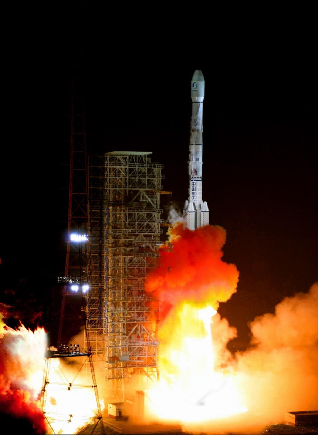
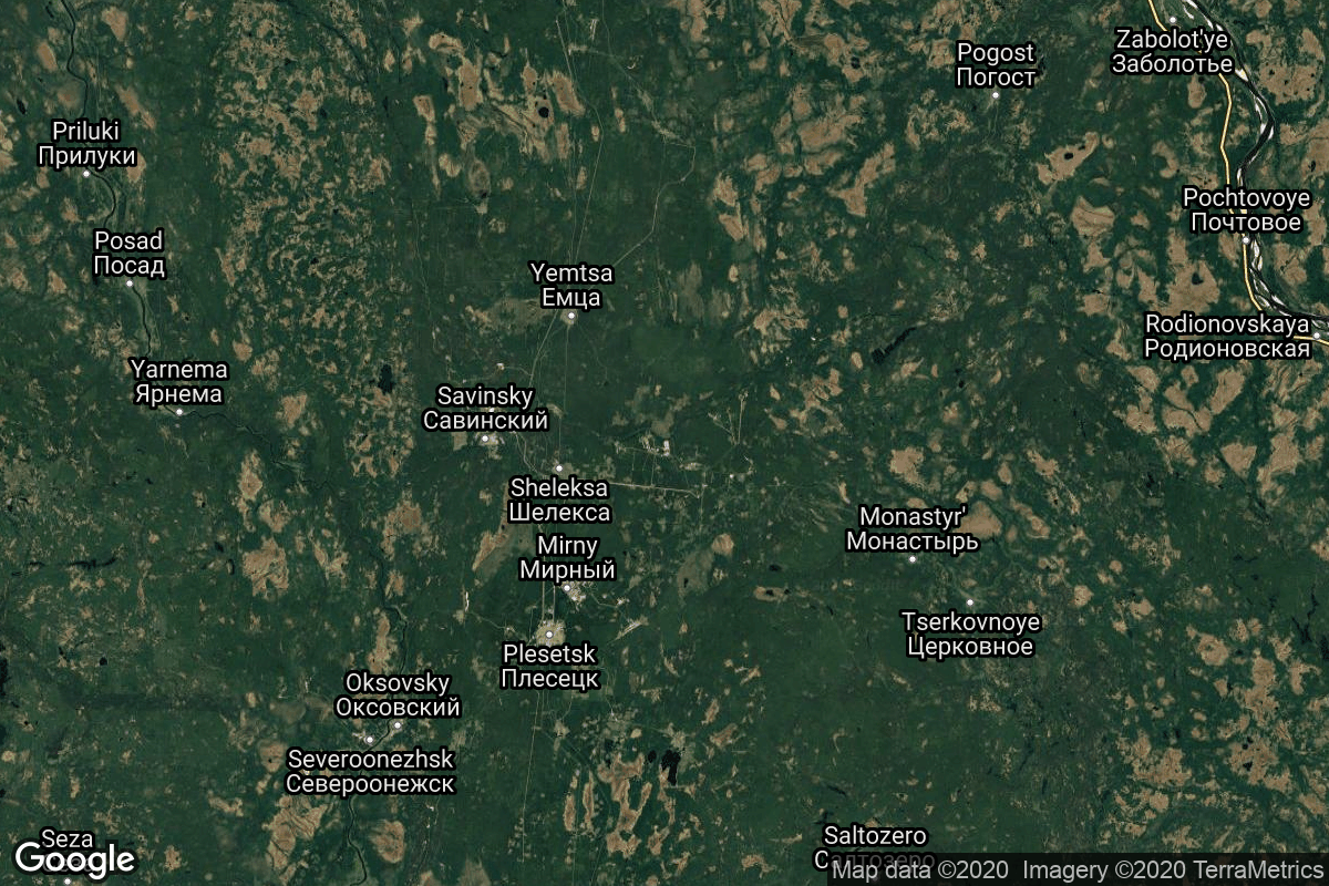
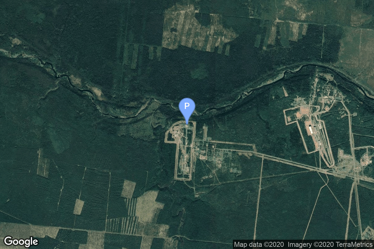
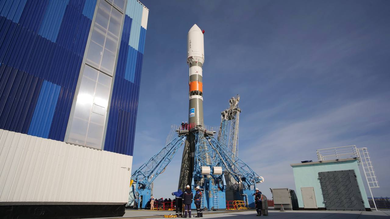
{ "count": 7994, "next": "https://lldev.thespacedevs.com/2.0.0/launch/?format=api&limit=10&offset=5930&ordering=net", "previous": "https://lldev.thespacedevs.com/2.0.0/launch/?format=api&limit=10&offset=5910&ordering=net", "results": [ { "id": "4a35280f-2665-4d3a-89cc-8d520c72edc0", "url": "https://lldev.thespacedevs.com/2.0.0/launch/4a35280f-2665-4d3a-89cc-8d520c72edc0/?format=api", "launch_library_id": 1633, "slug": "zhuque-1-weilai-1-future-1", "name": "Zhuque-1 | Weilai-1 (Future-1)", "status": { "id": 4, "name": "Failure" }, "net": "2018-10-27T08:00:00Z", "window_end": "2018-10-27T08:57:00Z", "window_start": "2018-10-27T02:27:30Z", "inhold": false, "tbdtime": false, "tbddate": false, "probability": null, "holdreason": "", "failreason": "Attitude control failed after third stage ignition.", "hashtag": null, "launch_service_provider": { "id": 259, "url": "https://lldev.thespacedevs.com/2.0.0/agencies/259/?format=api", "name": "LandSpace", "type": "Commercial" }, "rocket": { "id": 1378, "configuration": { "id": 160, "launch_library_id": 191, "url": "https://lldev.thespacedevs.com/2.0.0/config/launcher/160/?format=api", "name": "Zhuque-1", "family": "Zhuque", "full_name": "Zhuque-1", "variant": "" } }, "mission": { "id": 700, "launch_library_id": 874, "name": "Weilai-1 (Future-1)", "description": "The satellite is operated by China Central Television (CCTV) and is intended to carry out scientific expermients and perform Earth observation. Weilai-1 is expected to operate in sun-synchronous orbit for two years.", "launch_designator": null, "type": "Earth Science", "orbit": { "id": 17, "name": "Sun-Synchronous Orbit", "abbrev": "SSO" } }, "pad": { "id": 21, "url": "https://lldev.thespacedevs.com/2.0.0/pad/21/?format=api", "agency_id": null, "name": "Launch Area 95A", "info_url": null, "wiki_url": "https://en.wikipedia.org/wiki/Jiuquan_Satellite_Launch_Center", "map_url": "https://www.google.com/maps?q=40.969117,100.343333", "latitude": "40.969117", "longitude": "100.343333", "location": { "id": 17, "url": "https://lldev.thespacedevs.com/2.0.0/location/17/?format=api", "name": "Jiuquan Satellite Launch Center, People's Republic of China", "country_code": "CHN", "map_image": "https://thespacedevs-dev.nyc3.digitaloceanspaces.com/media/map_images/location_17_20200803142429.jpg", "total_launch_count": 298, "total_landing_count": 3 }, "map_image": "https://thespacedevs-dev.nyc3.digitaloceanspaces.com/media/map_images/pad_21_20200803143253.jpg", "total_launch_count": 68 }, "webcast_live": false, "image": null, "infographic": null, "program": [] }, { "id": "dfca9f78-6ad5-46af-99fb-f2d575dfcb46", "url": "https://lldev.thespacedevs.com/2.0.0/launch/dfca9f78-6ad5-46af-99fb-f2d575dfcb46/?format=api", "launch_library_id": 1335, "slug": "long-march-2c-cfosat", "name": "Long March 2C | CFOSAT", "status": { "id": 3, "name": "Success" }, "net": "2018-10-29T00:43:14Z", "window_end": "2018-10-29T00:43:14Z", "window_start": "2018-10-29T00:43:14Z", "inhold": false, "tbdtime": false, "tbddate": false, "probability": null, "holdreason": "", "failreason": "", "hashtag": "#CFOSAT", "launch_service_provider": { "id": 88, "url": "https://lldev.thespacedevs.com/2.0.0/agencies/88/?format=api", "name": "China Aerospace Science and Technology Corporation", "type": "Government" }, "rocket": { "id": 18, "configuration": { "id": 61, "launch_library_id": 75, "url": "https://lldev.thespacedevs.com/2.0.0/config/launcher/61/?format=api", "name": "Long March 2C", "family": "Long March", "full_name": "Long March 2C", "variant": "C" } }, "mission": { "id": 657, "launch_library_id": 837, "name": "CFOSAT", "description": "CFOSAT (China-France Oceanography SATellite) is a joint mission of the Chinese (CNSA) and French (CNES) space agencies with the goal to monitor the ocean surface winds and waves and to provide information on related ocean and atmospheric science and applications. The primary objective of CFOSAT is to monitor on a global scale the wind and waves at the ocean surface.", "launch_designator": null, "type": "Earth Science", "orbit": { "id": 17, "name": "Sun-Synchronous Orbit", "abbrev": "SSO" } }, "pad": { "id": 22, "url": "https://lldev.thespacedevs.com/2.0.0/pad/22/?format=api", "agency_id": null, "name": "Launch Area 94 (SLS-2 / 603)", "info_url": null, "wiki_url": "https://en.wikipedia.org/wiki/Jiuquan_Launch_Area_4", "map_url": "https://www.google.com/maps?q=40.960482,100.298059", "latitude": "40.960482", "longitude": "100.298059", "location": { "id": 17, "url": "https://lldev.thespacedevs.com/2.0.0/location/17/?format=api", "name": "Jiuquan Satellite Launch Center, People's Republic of China", "country_code": "CHN", "map_image": "https://thespacedevs-dev.nyc3.digitaloceanspaces.com/media/map_images/location_17_20200803142429.jpg", "total_launch_count": 298, "total_landing_count": 3 }, "map_image": "https://thespacedevs-dev.nyc3.digitaloceanspaces.com/media/map_images/pad_22_20200803143437.jpg", "total_launch_count": 138 }, "webcast_live": false, "image": "https://thespacedevs-dev.nyc3.digitaloceanspaces.com/media/images/long_march_2_image_20230803100234.jpeg", "infographic": null, "program": [] }, { "id": "7132c569-0eac-46da-a013-73a488d27e1d", "url": "https://lldev.thespacedevs.com/2.0.0/launch/7132c569-0eac-46da-a013-73a488d27e1d/?format=api", "launch_library_id": 1065, "slug": "h-iia-202-khalifasat-gosat-2", "name": "H-IIA 202 | KhalifaSat & GOSAT-2", "status": { "id": 3, "name": "Success" }, "net": "2018-10-29T04:08:00Z", "window_end": "2018-10-29T04:20:00Z", "window_start": "2018-10-29T04:08:00Z", "inhold": false, "tbdtime": false, "tbddate": false, "probability": null, "holdreason": "", "failreason": "", "hashtag": "#H2AF40", "launch_service_provider": { "id": 98, "url": "https://lldev.thespacedevs.com/2.0.0/agencies/98/?format=api", "name": "Mitsubishi Heavy Industries", "type": "Commercial" }, "rocket": { "id": 2145, "configuration": { "id": 32, "launch_library_id": 53, "url": "https://lldev.thespacedevs.com/2.0.0/config/launcher/32/?format=api", "name": "H-IIA", "family": "H-II", "full_name": "H-IIA 202", "variant": "202" } }, "mission": { "id": 901, "launch_library_id": 873, "name": "KhalifaSat & GOSAT-2", "description": "KhalifaSat is an Earth observation satellite for UAE. KhalifaSat will provide high-resolution imagery of Earth to be used for various purposes, including urban planning, change monitoring, area classification, monitoring environmental change and aiding relief efforts for natural disasters. GOSAT 2 (Greenhouse gases Observing SATellite 2) is a Japanese satellite dedicated to greenhouse gas measurement from space. It's a follow on to the GOSAT mission and includes such improvements as an ability to gather more precise data and monitor carbon monoxide concentrations.", "launch_designator": null, "type": "Earth Science", "orbit": { "id": 17, "name": "Sun-Synchronous Orbit", "abbrev": "SSO" } }, "pad": { "id": 41, "url": "https://lldev.thespacedevs.com/2.0.0/pad/41/?format=api", "agency_id": 37, "name": "Yoshinobu Launch Complex LP-1", "info_url": null, "wiki_url": "https://en.wikipedia.org/wiki/Yoshinobu_Launch_Complex", "map_url": "https://www.google.com/maps?q=30.400813,130.977748", "latitude": "30.400813", "longitude": "130.977748", "location": { "id": 26, "url": "https://lldev.thespacedevs.com/2.0.0/location/26/?format=api", "name": "Tanegashima Space Center, Japan", "country_code": "JPN", "map_image": "https://thespacedevs-dev.nyc3.digitaloceanspaces.com/media/map_images/location_26_20200803142507.jpg", "total_launch_count": 99, "total_landing_count": 0 }, "map_image": "https://thespacedevs-dev.nyc3.digitaloceanspaces.com/media/map_images/pad_41_20200803143551.jpg", "total_launch_count": 57 }, "webcast_live": false, "image": "https://thespacedevs-dev.nyc3.digitaloceanspaces.com/media/images/h-iia_202_lifto_image_20240325123250.jpg", "infographic": null, "program": [] }, { "id": "53634b8f-4151-4d81-8c96-6fb1f5a6db33", "url": "https://lldev.thespacedevs.com/2.0.0/launch/53634b8f-4151-4d81-8c96-6fb1f5a6db33/?format=api", "launch_library_id": 1642, "slug": "long-march-3b-beidou-3-g1", "name": "Long March 3B | Beidou-3 G1", "status": { "id": 3, "name": "Success" }, "net": "2018-11-01T15:57:11Z", "window_end": "2018-11-01T17:13:00Z", "window_start": "2018-11-01T15:50:00Z", "inhold": false, "tbdtime": false, "tbddate": false, "probability": null, "holdreason": "", "failreason": "", "hashtag": null, "launch_service_provider": { "id": 88, "url": "https://lldev.thespacedevs.com/2.0.0/agencies/88/?format=api", "name": "China Aerospace Science and Technology Corporation", "type": "Government" }, "rocket": { "id": 2140, "configuration": { "id": 19, "launch_library_id": 22, "url": "https://lldev.thespacedevs.com/2.0.0/config/launcher/19/?format=api", "name": "Long March 3B", "family": "Long March", "full_name": "Long March 3B", "variant": "B" } }, "mission": { "id": 705, "launch_library_id": 881, "name": "Beidou-3 G1", "description": "This satellite is a part of the geostationary component of the 3rd phase of the Chinese Beidou (Compass) satellite navigation system. It features a phased array antenna for navigation signals and a laser retroreflector and additionally deployable S/L-band and C-band antennas.", "launch_designator": null, "type": "Navigation", "orbit": { "id": 2, "name": "Geostationary Transfer Orbit", "abbrev": "GTO" } }, "pad": { "id": 45, "url": "https://lldev.thespacedevs.com/2.0.0/pad/45/?format=api", "agency_id": null, "name": "Launch Complex 2 (LC-2)", "info_url": null, "wiki_url": "https://en.wikipedia.org/wiki/Xichang_Satellite_Launch_Center", "map_url": "https://www.google.com/maps?q=28.245504,102.026768", "latitude": "28.245504", "longitude": "102.026768", "location": { "id": 16, "url": "https://lldev.thespacedevs.com/2.0.0/location/16/?format=api", "name": "Xichang Satellite Launch Center, People's Republic of China", "country_code": "CHN", "map_image": "https://thespacedevs-dev.nyc3.digitaloceanspaces.com/media/map_images/location_16_20200803142513.jpg", "total_launch_count": 242, "total_landing_count": 0 }, "map_image": "https://thespacedevs-dev.nyc3.digitaloceanspaces.com/media/map_images/pad_45_20200803143520.jpg", "total_launch_count": 126 }, "webcast_live": false, "image": "https://thespacedevs-dev.nyc3.digitaloceanspaces.com/media/images/long2520march25203_image_20200102181012.jpg", "infographic": null, "program": [ { "id": 35, "url": "https://lldev.thespacedevs.com/2.0.0/program/35/?format=api", "name": "BeiDou", "description": "The BeiDou Navigation Satellite System is a satellite-based radio navigation system owned and operated by the China National Space Administration.[4] It is one of the global navigation satellite systems that provide geolocation and time information to a BDS receiver anywhere on or near the Earth where there is an unobstructed line of sight to four or more BDS satellites.", "agencies": [ { "id": 17, "url": "https://lldev.thespacedevs.com/2.0.0/agencies/17/?format=api", "name": "China National Space Administration", "type": "Government" } ], "image_url": "https://thespacedevs-dev.nyc3.digitaloceanspaces.com/media/images/beidou_program_20240102170615.png", "start_date": "2000-10-31T00:00:00Z", "end_date": null, "info_url": "http://en.beidou.gov.cn/", "wiki_url": "https://en.wikipedia.org/wiki/BeiDou" } ] }, { "id": "d11ac796-98b4-4eb5-8eee-ef70777e7678", "url": "https://lldev.thespacedevs.com/2.0.0/launch/d11ac796-98b4-4eb5-8eee-ef70777e7678/?format=api", "launch_library_id": 1635, "slug": "soyuz-21bfregat-m-glonass-m-no-57-kosmos-2529", "name": "Soyuz 2.1b/Fregat-M | Glonass-M No. 57 (Kosmos 2529)", "status": { "id": 3, "name": "Success" }, "net": "2018-11-03T20:17:53Z", "window_end": "2018-11-03T23:30:00Z", "window_start": "2018-11-03T19:00:00Z", "inhold": false, "tbdtime": false, "tbddate": false, "probability": null, "holdreason": "", "failreason": "", "hashtag": null, "launch_service_provider": { "id": 193, "url": "https://lldev.thespacedevs.com/2.0.0/agencies/193/?format=api", "name": "Russian Space Forces", "type": "Government" }, "rocket": { "id": 1381, "configuration": { "id": 134, "launch_library_id": 153, "url": "https://lldev.thespacedevs.com/2.0.0/config/launcher/134/?format=api", "name": "Soyuz 2.1b/Fregat-M", "family": "Soyuz", "full_name": "Soyuz 2.1b Fregat-M", "variant": "Fregat-M" } }, "mission": { "id": 706, "launch_library_id": 877, "name": "Glonass-M No. 57 (Kosmos 2529)", "description": "Glonass-M, also known as Uragan-M, are the second generation of Uragan satellite design used for GLONASS satellite navigation system. GLONASS is a Russian space-based navigation system comparable to the similar GPS and Galileo systems. This generation improves on accuracy, power consumption and design life. Each satellite weighs 1415 kg, is equipped with 12 L-band antennas, and has an operational lifetime of 7 years.", "launch_designator": null, "type": "Navigation", "orbit": { "id": 12, "name": "Medium Earth Orbit", "abbrev": "MEO" } }, "pad": { "id": 85, "url": "https://lldev.thespacedevs.com/2.0.0/pad/85/?format=api", "agency_id": 163, "name": "43/4 (43R)", "info_url": null, "wiki_url": null, "map_url": "https://www.google.com/maps?q=62.92883,40.457098", "latitude": "62.92883", "longitude": "40.457098", "location": { "id": 6, "url": "https://lldev.thespacedevs.com/2.0.0/location/6/?format=api", "name": "Plesetsk Cosmodrome, Russian Federation", "country_code": "RUS", "map_image": "https://thespacedevs-dev.nyc3.digitaloceanspaces.com/media/map_images/location_6_20200803142434.jpg", "total_launch_count": 1688, "total_landing_count": 0 }, "map_image": "https://thespacedevs-dev.nyc3.digitaloceanspaces.com/media/map_images/pad_85_20200803143554.jpg", "total_launch_count": 329 }, "webcast_live": false, "image": "https://thespacedevs-dev.nyc3.digitaloceanspaces.com/media/images/soyuz_2.1b_image_20230802085331.jpg", "infographic": null, "program": [ { "id": 34, "url": "https://lldev.thespacedevs.com/2.0.0/program/34/?format=api", "name": "GLONASS", "description": "GLONASS (ГЛОНАСС, IPA: [ɡɫɐˈnas]; Russian: Глобальная навигационная спутниковая система, tr. Global'naya Navigatsionnaya Sputnikovaya Sistema, lit. 'Global Navigation Satellite System') is a Russian satellite navigation system operating as part of a radionavigation-satellite service. It provides an alternative to Global Positioning System (GPS) and is the second navigational system in operation with global coverage and of comparable precision.", "agencies": [ { "id": 63, "url": "https://lldev.thespacedevs.com/2.0.0/agencies/63/?format=api", "name": "Russian Federal Space Agency (ROSCOSMOS)", "type": "Government" } ], "image_url": "https://thespacedevs-dev.nyc3.digitaloceanspaces.com/media/images/glonass_program_20240102170258.png", "start_date": "1982-10-12T00:00:00Z", "end_date": null, "info_url": "https://www.glonass-iac.ru/en/", "wiki_url": "https://en.wikipedia.org/wiki/GLONASS" } ] }, { "id": "0ab0bc54-1988-48ce-a40a-8554c137b534", "url": "https://lldev.thespacedevs.com/2.0.0/launch/0ab0bc54-1988-48ce-a40a-8554c137b534/?format=api", "launch_library_id": 1319, "slug": "soyuz-stbfregat-mt-metop-c", "name": "Soyuz STB/Fregat-MT | MetOp-C", "status": { "id": 3, "name": "Success" }, "net": "2018-11-07T00:47:27Z", "window_end": "2018-11-07T00:47:27Z", "window_start": "2018-11-07T00:47:27Z", "inhold": false, "tbdtime": false, "tbddate": false, "probability": null, "holdreason": "", "failreason": null, "hashtag": "#MetOpC", "launch_service_provider": { "id": 115, "url": "https://lldev.thespacedevs.com/2.0.0/agencies/115/?format=api", "name": "Arianespace", "type": "Commercial" }, "rocket": { "id": 2152, "configuration": { "id": 72, "launch_library_id": 96, "url": "https://lldev.thespacedevs.com/2.0.0/config/launcher/72/?format=api", "name": "Soyuz STB", "family": "Soyuz", "full_name": "Soyuz STB Fregat-MT", "variant": "Fregat-MT" } }, "mission": { "id": 707, "launch_library_id": 833, "name": "MetOp-C", "description": "MetOp is a series of three polar orbiting meteorological satellites developed by the European Space Agency (ESA).", "launch_designator": null, "type": "Earth Science", "orbit": { "id": 17, "name": "Sun-Synchronous Orbit", "abbrev": "SSO" } }, "pad": { "id": 81, "url": "https://lldev.thespacedevs.com/2.0.0/pad/81/?format=api", "agency_id": 115, "name": "Soyuz Launch Complex", "info_url": null, "wiki_url": "https://en.wikipedia.org/wiki/Ensemble_de_Lancement_Soyouz", "map_url": "https://www.google.com/maps?q=5.3019,-52.8346", "latitude": "5.3019", "longitude": "-52.8346", "location": { "id": 13, "url": "https://lldev.thespacedevs.com/2.0.0/location/13/?format=api", "name": "Guiana Space Centre, French Guiana", "country_code": "GUF", "map_image": "https://thespacedevs-dev.nyc3.digitaloceanspaces.com/media/map_images/location_13_20200803142412.jpg", "total_launch_count": 336, "total_landing_count": 0 }, "map_image": "https://thespacedevs-dev.nyc3.digitaloceanspaces.com/media/map_images/pad_81_20200803143601.jpg", "total_launch_count": 26 }, "webcast_live": false, "image": "https://thespacedevs-dev.nyc3.digitaloceanspaces.com/media/images/soyuz2520stb_image_20191201201634.jpg", "infographic": null, "program": [] }, { "id": "b29bfc4f-2819-4ebf-9887-4b1295171157", "url": "https://lldev.thespacedevs.com/2.0.0/launch/b29bfc4f-2819-4ebf-9887-4b1295171157/?format=api", "launch_library_id": 1518, "slug": "electron-its-business-time-rideshare", "name": "Electron | It's Business Time (Rideshare)", "status": { "id": 3, "name": "Success" }, "net": "2018-11-11T03:50:00Z", "window_end": "2018-11-11T07:00:00Z", "window_start": "2018-11-11T03:00:00Z", "inhold": false, "tbdtime": false, "tbddate": false, "probability": null, "holdreason": "", "failreason": "", "hashtag": "#ItsBusinessTime", "launch_service_provider": { "id": 147, "url": "https://lldev.thespacedevs.com/2.0.0/agencies/147/?format=api", "name": "Rocket Lab", "type": "Commercial" }, "rocket": { "id": 24, "configuration": { "id": 26, "launch_library_id": 148, "url": "https://lldev.thespacedevs.com/2.0.0/config/launcher/26/?format=api", "name": "Electron", "family": "", "full_name": "Electron", "variant": "" } }, "mission": { "id": 709, "launch_library_id": 726, "name": "It's Business Time (Rideshare)", "description": "Electron's first commercial launch will feature two Lemur-2 cubesats for Spire Global, a single cubesat for GeoOptics, a NABEO drag sail demonstrator for High Performance Space Structure Systems, an IRVINE01 cubesat from the Irvine CubeSat STEM Program, and two Proxima cubesats from Fleet Space Technologies.", "launch_designator": null, "type": "Dedicated Rideshare", "orbit": { "id": 8, "name": "Low Earth Orbit", "abbrev": "LEO" } }, "pad": { "id": 65, "url": "https://lldev.thespacedevs.com/2.0.0/pad/65/?format=api", "agency_id": 147, "name": "Rocket Lab Launch Complex 1A", "info_url": null, "wiki_url": "https://en.wikipedia.org/wiki/Rocket_Lab_Launch_Complex_1", "map_url": "https://www.google.com/maps?q=-39.262833,177.864469", "latitude": "-39.262833", "longitude": "177.864469", "location": { "id": 10, "url": "https://lldev.thespacedevs.com/2.0.0/location/10/?format=api", "name": "Rocket Lab Launch Complex 1, Mahia Peninsula, New Zealand", "country_code": "NZL", "map_image": "https://thespacedevs-dev.nyc3.digitaloceanspaces.com/media/map_images/location_10_20200803142509.jpg", "total_launch_count": 83, "total_landing_count": 17 }, "map_image": "https://thespacedevs-dev.nyc3.digitaloceanspaces.com/media/map_images/pad_65_20200803143549.jpg", "total_launch_count": 43 }, "webcast_live": false, "image": "https://thespacedevs-dev.nyc3.digitaloceanspaces.com/media/images/electron_image_20190705175640.jpeg", "infographic": null, "program": [] }, { "id": "1921ef8f-42f9-49ba-a00b-93d56961a8c5", "url": "https://lldev.thespacedevs.com/2.0.0/launch/1921ef8f-42f9-49ba-a00b-93d56961a8c5/?format=api", "launch_library_id": 1411, "slug": "lvm-3-gsat-29", "name": "LVM-3 | GSAT-29", "status": { "id": 3, "name": "Success" }, "net": "2018-11-14T11:38:00Z", "window_end": "2018-11-14T11:38:00Z", "window_start": "2018-11-14T11:38:00Z", "inhold": false, "tbdtime": false, "tbddate": false, "probability": null, "holdreason": "", "failreason": "", "hashtag": null, "launch_service_provider": { "id": 31, "url": "https://lldev.thespacedevs.com/2.0.0/agencies/31/?format=api", "name": "Indian Space Research Organization", "type": "Government" }, "rocket": { "id": 5, "configuration": { "id": 172, "launch_library_id": 85, "url": "https://lldev.thespacedevs.com/2.0.0/config/launcher/172/?format=api", "name": "LVM-3 (GSLV Mk III)", "family": "GSLV", "full_name": "Launch Vehicle Mark-3 (GSLV Mk III)", "variant": "" } }, "mission": { "id": 708, "launch_library_id": 658, "name": "GSAT-29", "description": "GSAT-29 is a geostationary communications satellite developed by ISRO. GSAT-29 carries Ka x Ku multi-beam and optical communication payloads.", "launch_designator": null, "type": "Communications", "orbit": { "id": 2, "name": "Geostationary Transfer Orbit", "abbrev": "GTO" } }, "pad": { "id": 82, "url": "https://lldev.thespacedevs.com/2.0.0/pad/82/?format=api", "agency_id": 31, "name": "Satish Dhawan Space Centre Second Launch Pad", "info_url": null, "wiki_url": "https://en.wikipedia.org/wiki/Satish_Dhawan_Space_Centre_Second_Launch_Pad", "map_url": "https://www.google.com/maps?q=13.7199,80.2304", "latitude": "13.7199", "longitude": "80.2304", "location": { "id": 14, "url": "https://lldev.thespacedevs.com/2.0.0/location/14/?format=api", "name": "Satish Dhawan Space Centre, India", "country_code": "IND", "map_image": "https://thespacedevs-dev.nyc3.digitaloceanspaces.com/media/map_images/location_14_20200803142403.jpg", "total_launch_count": 105, "total_landing_count": 0 }, "map_image": "https://thespacedevs-dev.nyc3.digitaloceanspaces.com/media/map_images/pad_82_20200803143602.jpg", "total_launch_count": 33 }, "webcast_live": false, "image": "https://thespacedevs-dev.nyc3.digitaloceanspaces.com/media/images/gslv2520mk2520iii_image_20190604000938.jpg", "infographic": null, "program": [] }, { "id": "1f252074-9350-4ba7-8b06-4df4b4743ef8", "url": "https://lldev.thespacedevs.com/2.0.0/launch/1f252074-9350-4ba7-8b06-4df4b4743ef8/?format=api", "launch_library_id": 1306, "slug": "falcon-9-block-5-eshail-2", "name": "Falcon 9 Block 5 | Es'hail 2", "status": { "id": 3, "name": "Success" }, "net": "2018-11-15T20:46:00Z", "window_end": "2018-11-15T22:29:00Z", "window_start": "2018-11-15T20:46:00Z", "inhold": false, "tbdtime": false, "tbddate": false, "probability": 60, "holdreason": "", "failreason": null, "hashtag": "#EsHail2", "launch_service_provider": { "id": 121, "url": "https://lldev.thespacedevs.com/2.0.0/agencies/121/?format=api", "name": "SpaceX", "type": "Commercial" }, "rocket": { "id": 22, "configuration": { "id": 164, "launch_library_id": 188, "url": "https://lldev.thespacedevs.com/2.0.0/config/launcher/164/?format=api", "name": "Falcon 9", "family": "Falcon", "full_name": "Falcon 9 Block 5", "variant": "Block 5" } }, "mission": { "id": 735, "launch_library_id": 668, "name": "Es'hail 2", "description": "Es'hail 2 is a communications satellite operated by a Quatar based company. The satellite will operate at 26 degrees East longitude along a geostationary orbit to provide direct-to-home television services in the Middle East and North Africa region.", "launch_designator": null, "type": "Communications", "orbit": { "id": 2, "name": "Geostationary Transfer Orbit", "abbrev": "GTO" } }, "pad": { "id": 87, "url": "https://lldev.thespacedevs.com/2.0.0/pad/87/?format=api", "agency_id": 121, "name": "Launch Complex 39A", "info_url": null, "wiki_url": "https://en.wikipedia.org/wiki/Kennedy_Space_Center_Launch_Complex_39#Launch_Pad_39A", "map_url": "https://www.google.com/maps?q=28.60822681,-80.60428186", "latitude": "28.60822681", "longitude": "-80.60428186", "location": { "id": 27, "url": "https://lldev.thespacedevs.com/2.0.0/location/27/?format=api", "name": "Kennedy Space Center, FL, USA", "country_code": "USA", "map_image": "https://thespacedevs-dev.nyc3.digitaloceanspaces.com/media/map_images/location_27_20200803142447.jpg", "total_launch_count": 282, "total_landing_count": 0 }, "map_image": "https://thespacedevs-dev.nyc3.digitaloceanspaces.com/media/map_images/pad_87_20200803143537.jpg", "total_launch_count": 223 }, "webcast_live": false, "image": "https://thespacedevs-dev.nyc3.digitaloceanspaces.com/media/images/falcon_9_image_20230807133459.jpeg", "infographic": null, "program": [] }, { "id": "d9ee0da9-b380-4e50-9f50-2a62a8e740e3", "url": "https://lldev.thespacedevs.com/2.0.0/launch/d9ee0da9-b380-4e50-9f50-2a62a8e740e3/?format=api", "launch_library_id": 1592, "slug": "soyuz-fg-progress-ms-10-71p", "name": "Soyuz-FG | Progress MS-10 (71P)", "status": { "id": 3, "name": "Success" }, "net": "2018-11-16T18:14:08Z", "window_end": "2018-11-16T18:14:08Z", "window_start": "2018-11-16T18:14:08Z", "inhold": false, "tbdtime": false, "tbddate": false, "probability": null, "holdreason": "", "failreason": "", "hashtag": null, "launch_service_provider": { "id": 63, "url": "https://lldev.thespacedevs.com/2.0.0/agencies/63/?format=api", "name": "Russian Federal Space Agency (ROSCOSMOS)", "type": "Government" }, "rocket": { "id": 19, "configuration": { "id": 34, "launch_library_id": 36, "url": "https://lldev.thespacedevs.com/2.0.0/config/launcher/34/?format=api", "name": "Soyuz", "family": "", "full_name": "Soyuz FG", "variant": "FG" } }, "mission": { "id": 663, "launch_library_id": 839, "name": "Progress MS-10 (71P)", "description": "The Progress resupply vehicle is an automated, unpiloted version of the Soyuz spacecraft that is used to bring supplies and fuel to the International Space Station.", "launch_designator": null, "type": "Resupply", "orbit": { "id": 8, "name": "Low Earth Orbit", "abbrev": "LEO" } }, "pad": { "id": 32, "url": "https://lldev.thespacedevs.com/2.0.0/pad/32/?format=api", "agency_id": null, "name": "1/5", "info_url": null, "wiki_url": "", "map_url": "https://www.google.com/maps?q=45.92,63.342", "latitude": "45.92", "longitude": "63.342", "location": { "id": 15, "url": "https://lldev.thespacedevs.com/2.0.0/location/15/?format=api", "name": "Baikonur Cosmodrome, Republic of Kazakhstan", "country_code": "KAZ", "map_image": "https://thespacedevs-dev.nyc3.digitaloceanspaces.com/media/map_images/location_15_20200803142517.jpg", "total_launch_count": 1565, "total_landing_count": 0 }, "map_image": "https://thespacedevs-dev.nyc3.digitaloceanspaces.com/media/map_images/pad_32_20200803143513.jpg", "total_launch_count": 487 }, "webcast_live": false, "image": "https://thespacedevs-dev.nyc3.digitaloceanspaces.com/media/images/soyuz_image_20190717035537.jpg", "infographic": null, "program": [ { "id": 17, "url": "https://lldev.thespacedevs.com/2.0.0/program/17/?format=api", "name": "International Space Station", "description": "The International Space Station programme is tied together by a complex set of legal, political and financial agreements between the sixteen nations involved in the project, governing ownership of the various components, rights to crewing and utilization, and responsibilities for crew rotation and resupply of the International Space Station. It was conceived in 1984 by President Ronald Reagan, during the Space Station Freedom project as it was originally called.", "agencies": [ { "id": 16, "url": "https://lldev.thespacedevs.com/2.0.0/agencies/16/?format=api", "name": "Canadian Space Agency", "type": "Government" }, { "id": 27, "url": "https://lldev.thespacedevs.com/2.0.0/agencies/27/?format=api", "name": "European Space Agency", "type": "Multinational" }, { "id": 37, "url": "https://lldev.thespacedevs.com/2.0.0/agencies/37/?format=api", "name": "Japan Aerospace Exploration Agency", "type": "Government" }, { "id": 44, "url": "https://lldev.thespacedevs.com/2.0.0/agencies/44/?format=api", "name": "National Aeronautics and Space Administration", "type": "Government" }, { "id": 63, "url": "https://lldev.thespacedevs.com/2.0.0/agencies/63/?format=api", "name": "Russian Federal Space Agency (ROSCOSMOS)", "type": "Government" } ], "image_url": "https://thespacedevs-dev.nyc3.digitaloceanspaces.com/media/images/international2_program_20201129184745.png", "start_date": "1998-11-20T06:40:00Z", "end_date": null, "info_url": "https://www.nasa.gov/mission_pages/station/main/index.html", "wiki_url": "https://en.wikipedia.org/wiki/International_Space_Station_programme" } ] } ] }