Launch List
API endpoint that returns all Launch objects or a single launch.
EXAMPLE - /launch/
GET: Return a list of all Launch objects.
FILTERS: Fields - 'name', 'id(s)', 'lsp_id', 'lsp_name', 'serial_number', 'launcher_config__id', 'rocket__spacecraftflight__spacecraft__name'
MODE: 'normal', 'list', 'detailed' EXAMPLE: ?mode=list
SEARCH: Searches through the launch name, rocket name, launch agency, mission name & spacecraft name. EXAMPLE - ?search=SpaceX
GET /2.0.0/launch/?format=api&offset=5610
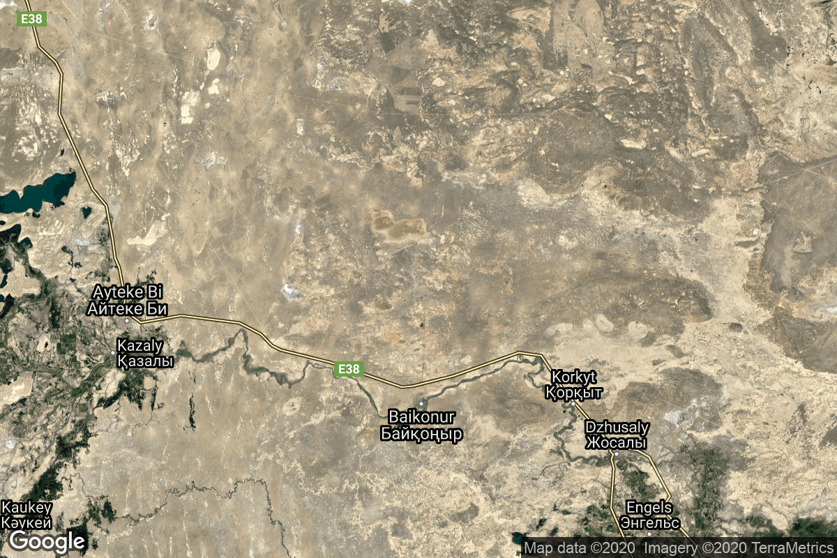
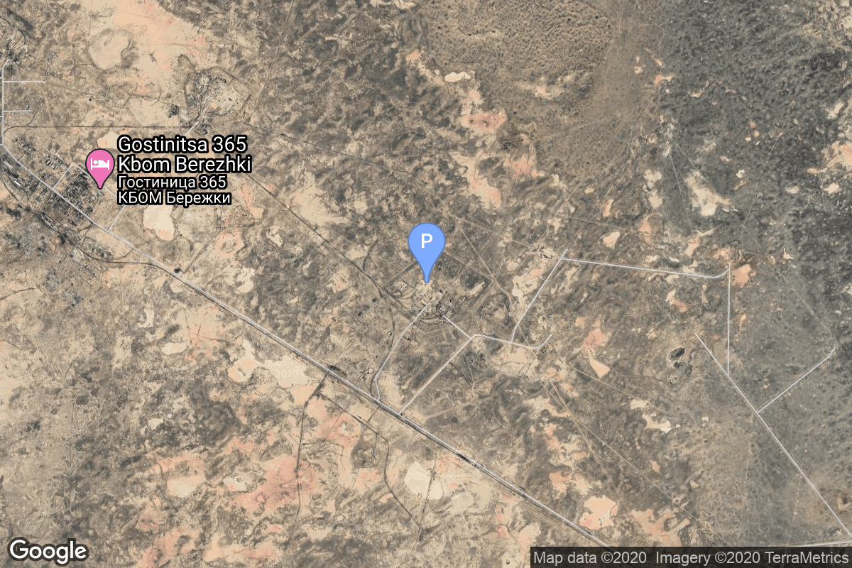
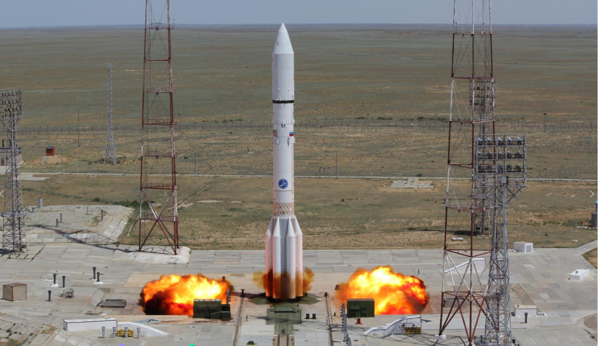
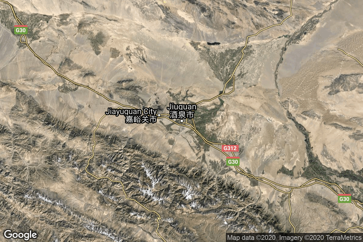
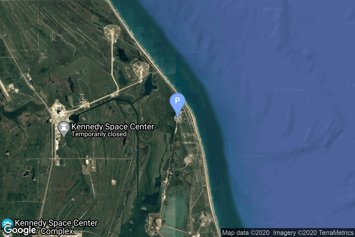
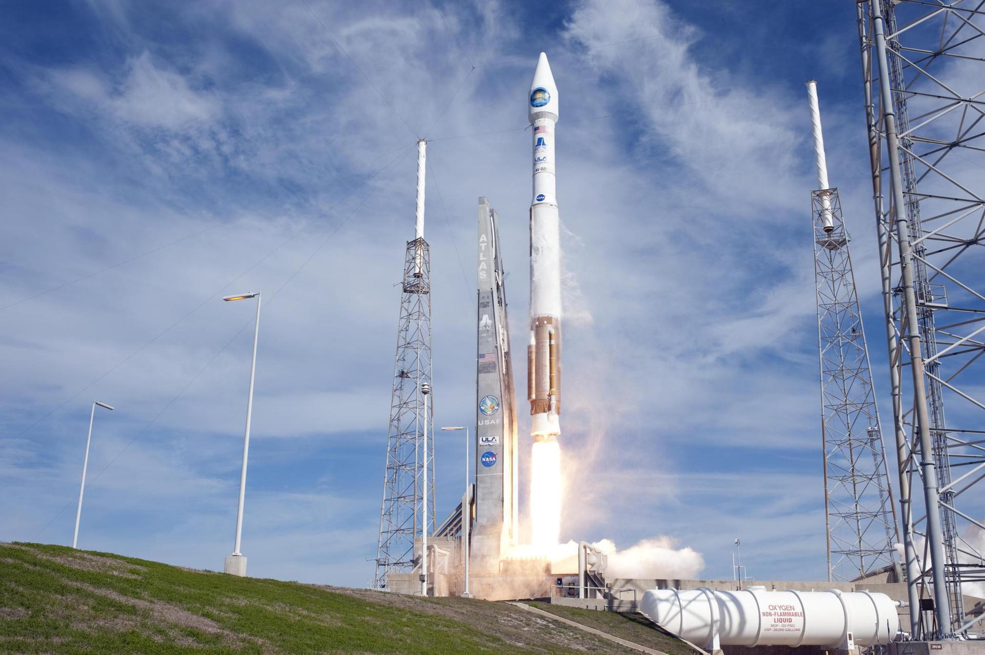
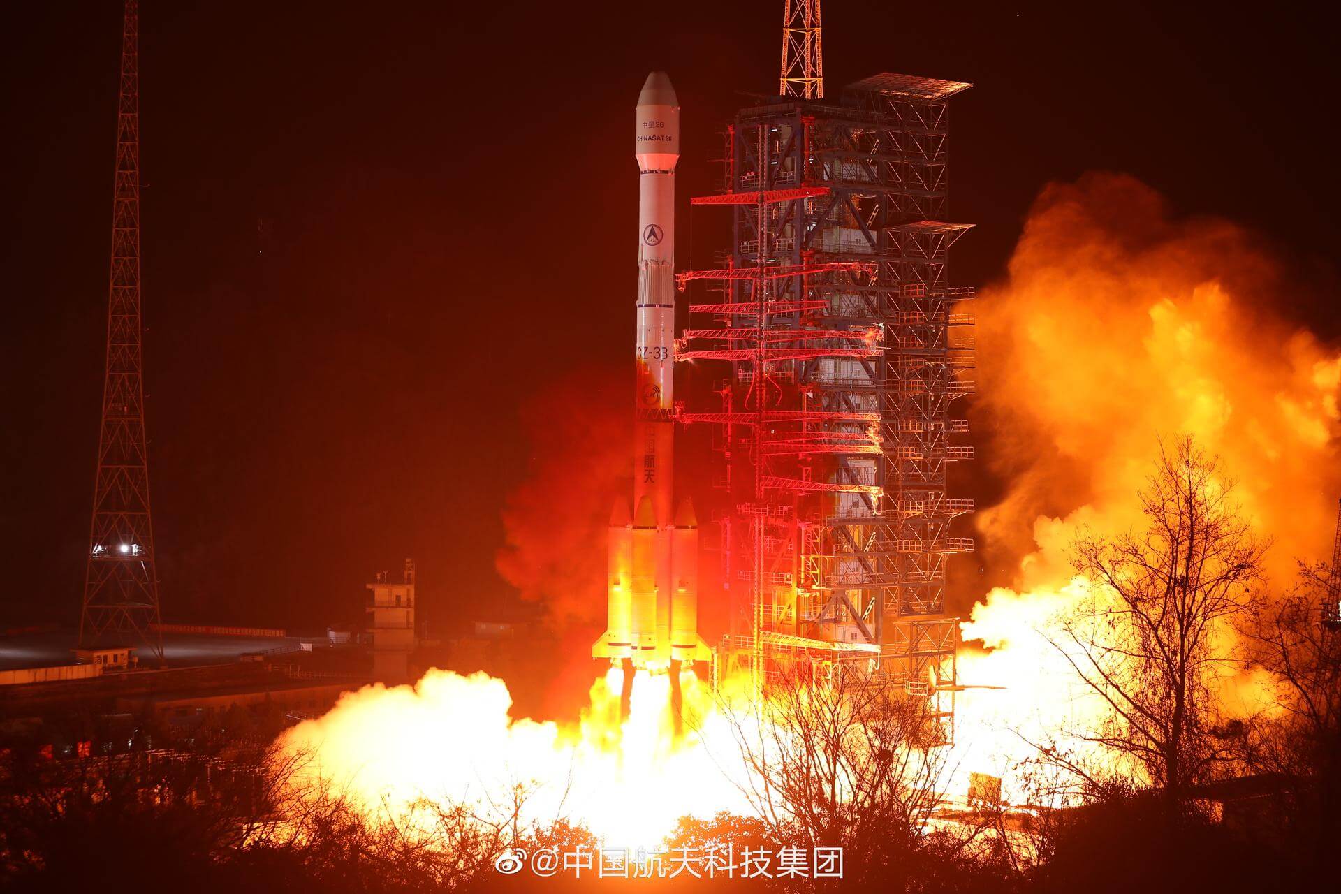
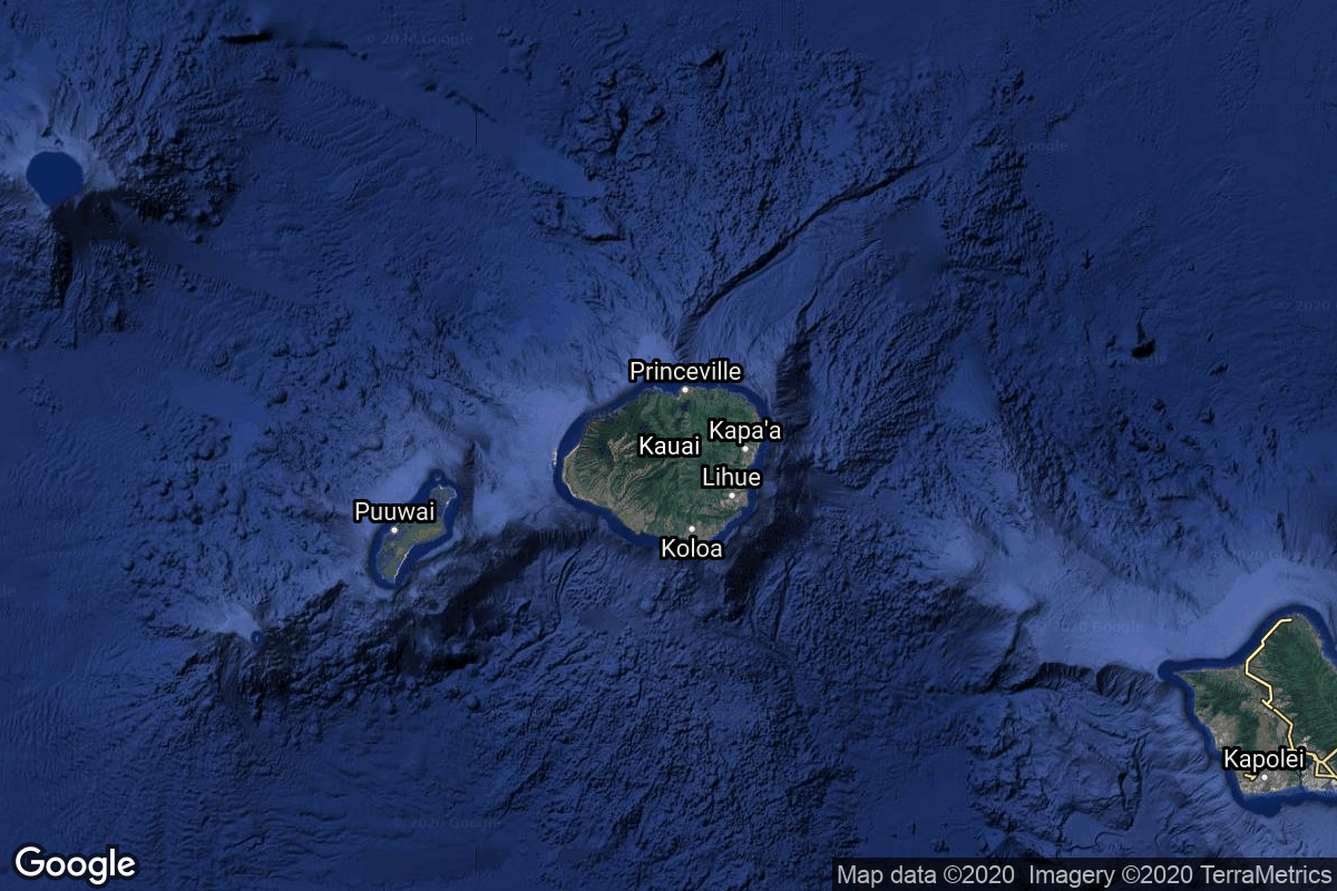
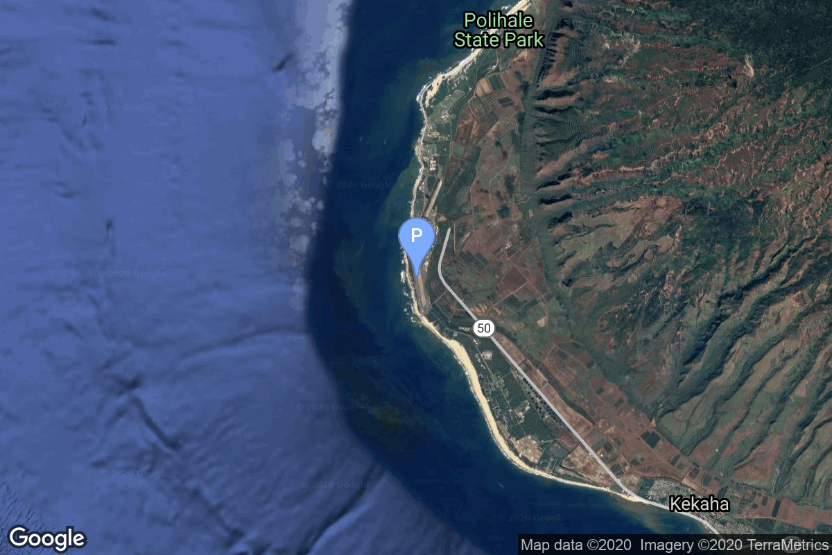
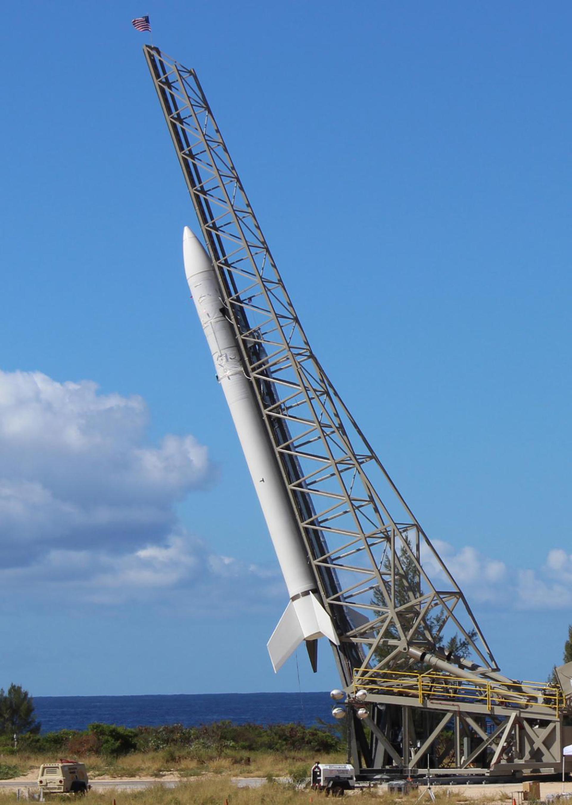
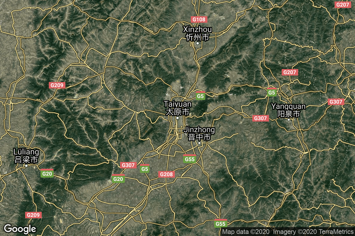
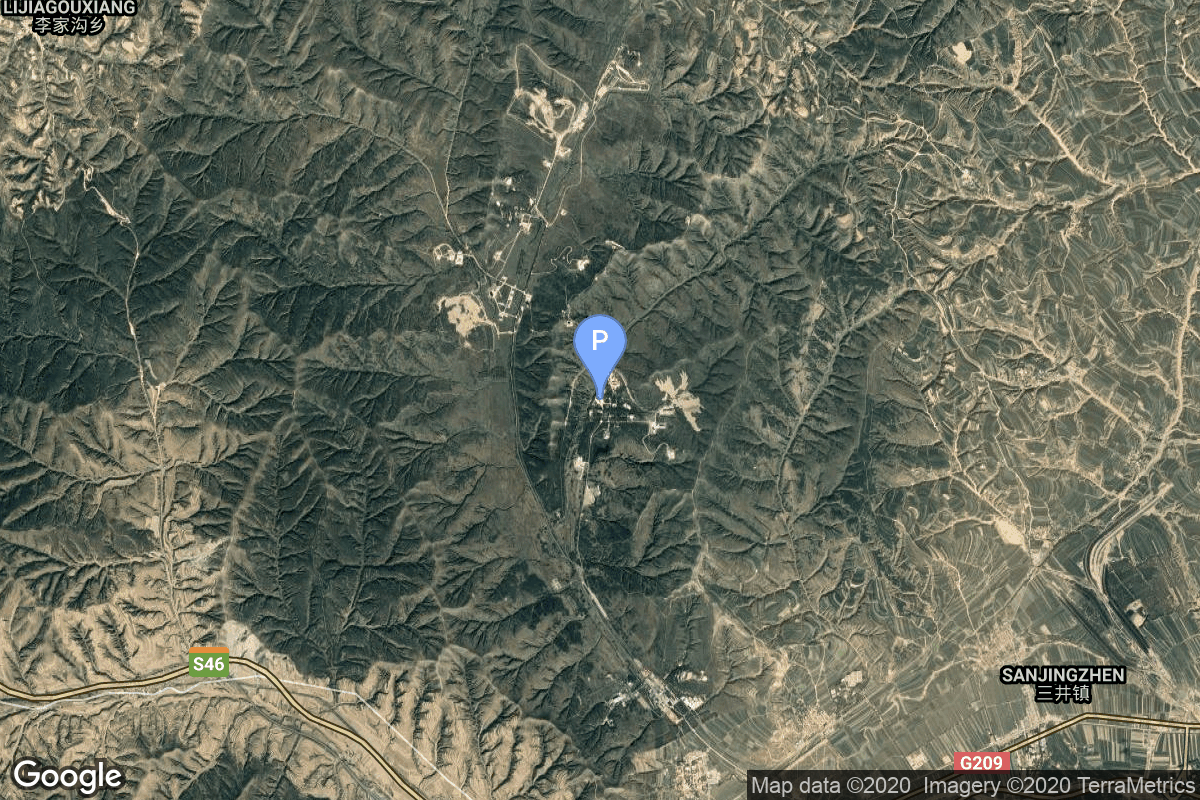
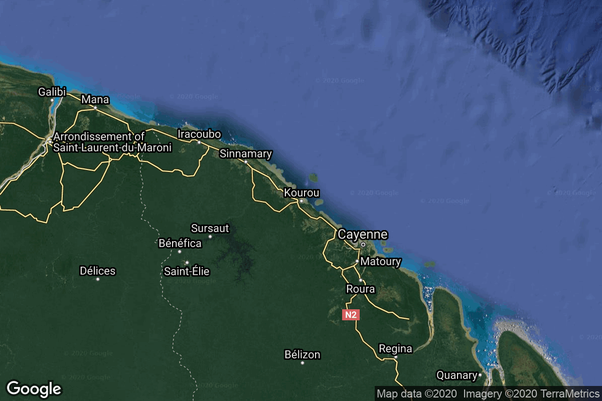
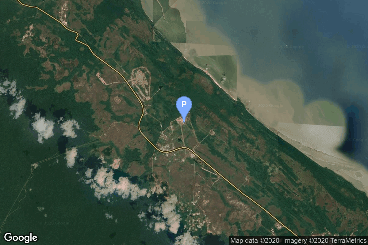
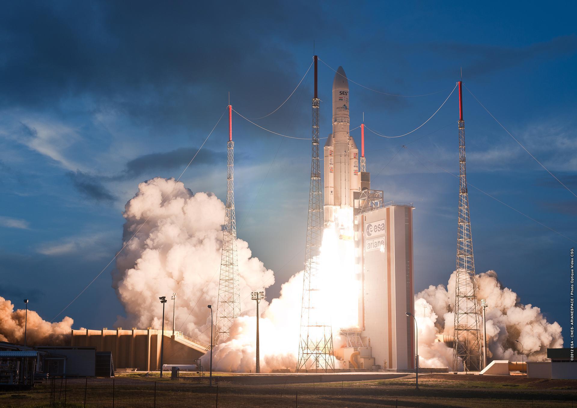
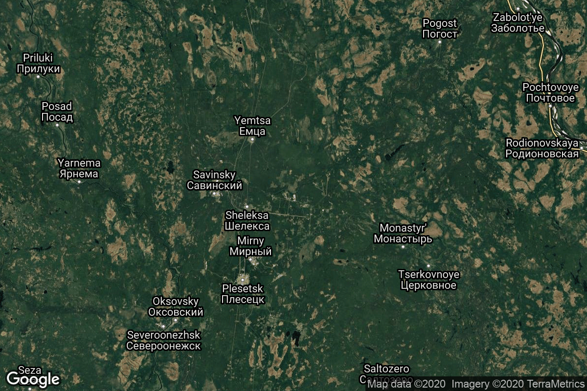
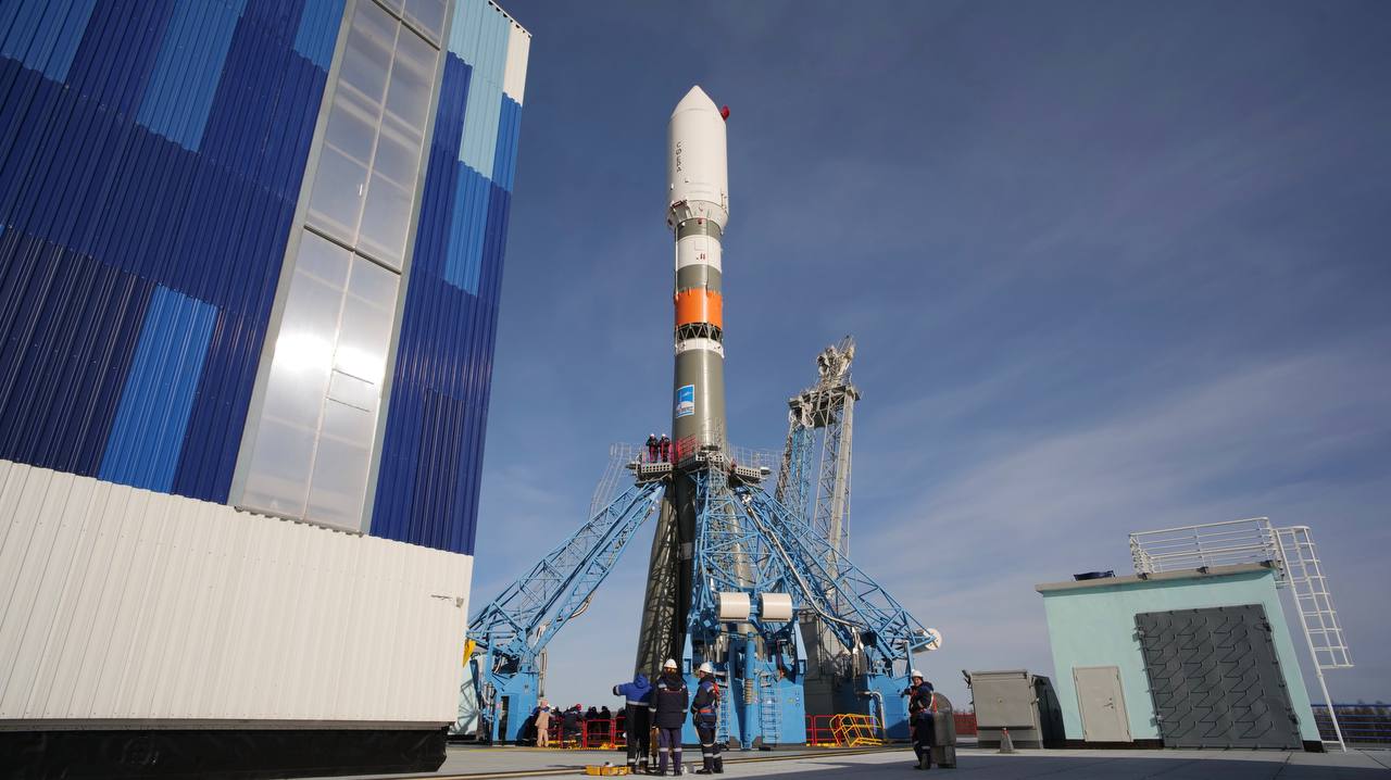
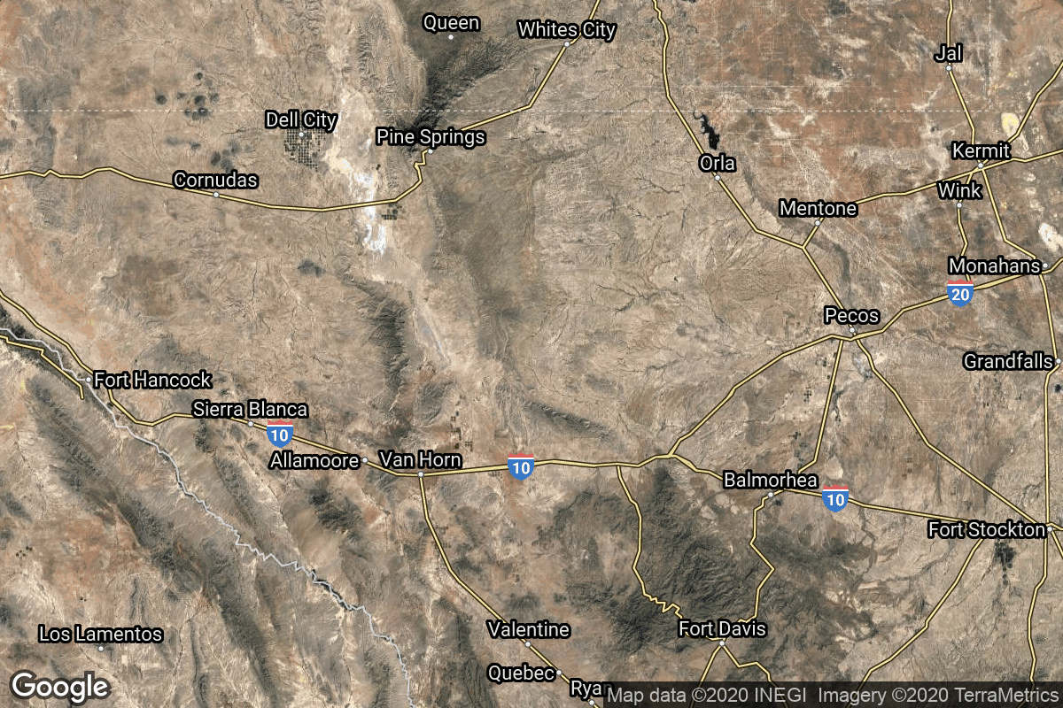
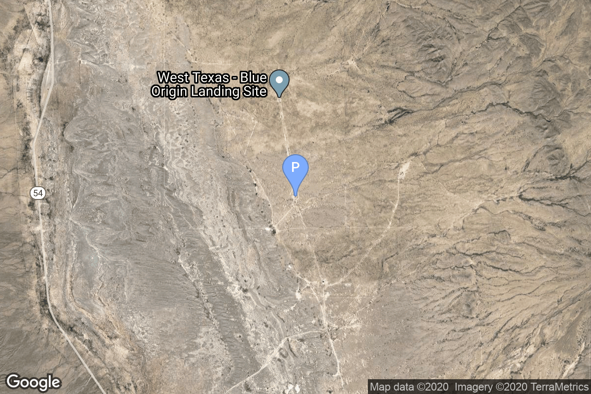
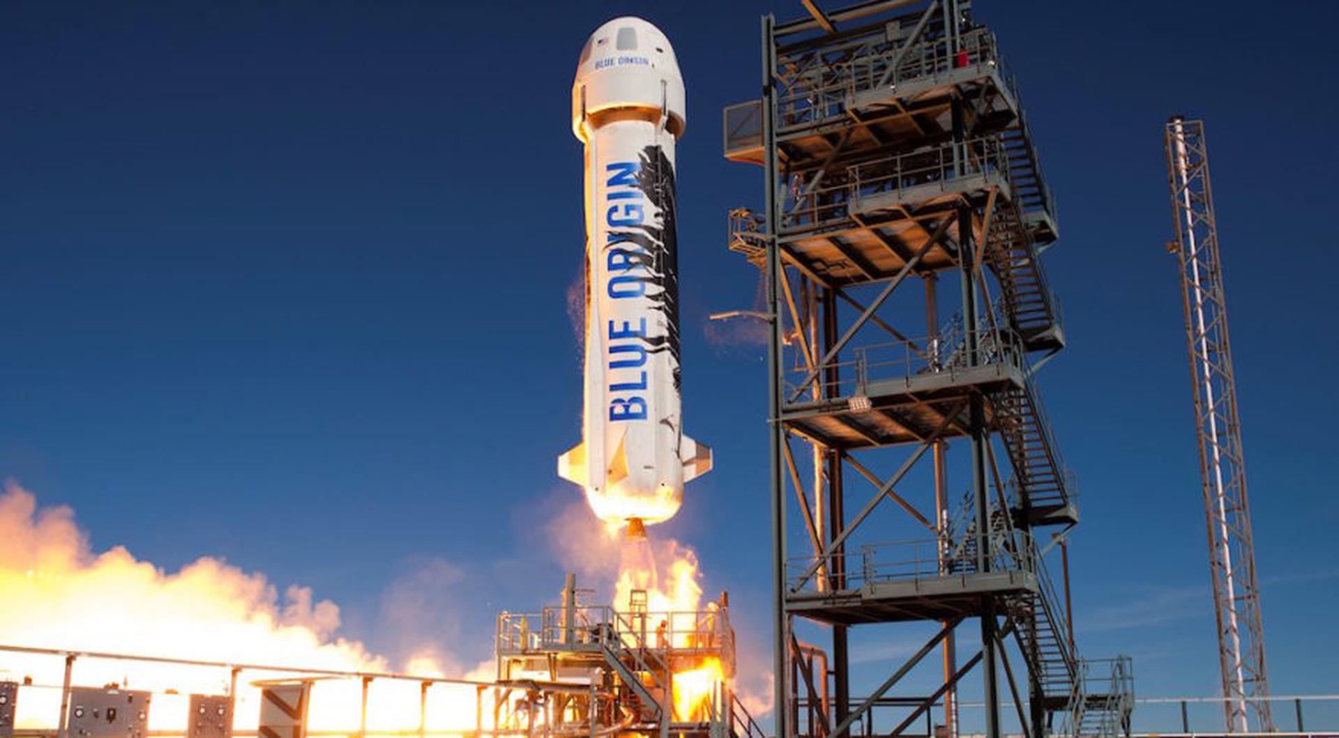
{ "count": 7767, "next": "https://lldev.thespacedevs.com/2.0.0/launch/?format=api&limit=10&offset=5620", "previous": "https://lldev.thespacedevs.com/2.0.0/launch/?format=api&limit=10&offset=5600", "results": [ { "id": "3fbad4c1-2601-41fa-9d16-27cce5f366bf", "url": "https://lldev.thespacedevs.com/2.0.0/launch/3fbad4c1-2601-41fa-9d16-27cce5f366bf/?format=api", "launch_library_id": 228, "slug": "proton-mbriz-m-turksat-4b", "name": "Proton-M/Briz-M | Türksat 4B", "status": { "id": 3, "name": "Success" }, "net": "2015-10-16T20:40:11Z", "window_end": "2015-10-16T20:40:11Z", "window_start": "2015-10-16T20:40:11Z", "inhold": false, "tbdtime": false, "tbddate": false, "probability": null, "holdreason": "", "failreason": "", "hashtag": null, "launch_service_provider": { "id": 118, "url": "https://lldev.thespacedevs.com/2.0.0/agencies/118/?format=api", "name": "International Launch Services", "type": "Commercial" }, "rocket": { "id": 1877, "configuration": { "id": 22, "launch_library_id": 4, "url": "https://lldev.thespacedevs.com/2.0.0/config/launcher/22/?format=api", "name": "Proton-M Briz-M", "family": "Proton / UR-500", "full_name": "Proton-M Briz-M", "variant": "Briz-M" } }, "mission": { "id": 5847, "launch_library_id": null, "name": "Türksat 4B", "description": "Türksat 4B is a geostationary communications satellite. It is positioned at 50 degree East location, providing telecommunication and direct TV services to customers in Europe, Central Asia and Middle East.", "launch_designator": null, "type": "Communications", "orbit": { "id": 2, "name": "Geostationary Transfer Orbit", "abbrev": "GTO" } }, "pad": { "id": 15, "url": "https://lldev.thespacedevs.com/2.0.0/pad/15/?format=api", "agency_id": null, "name": "200/39 (200L)", "info_url": null, "wiki_url": "", "map_url": "https://www.google.com/maps?q=46.039984,63.032093", "latitude": "46.039984", "longitude": "63.032093", "location": { "id": 15, "url": "https://lldev.thespacedevs.com/2.0.0/location/15/?format=api", "name": "Baikonur Cosmodrome, Republic of Kazakhstan", "country_code": "KAZ", "map_image": "https://thespacedevs-dev.nyc3.digitaloceanspaces.com/media/map_images/location_15_20200803142517.jpg", "total_launch_count": 1559, "total_landing_count": 0 }, "map_image": "https://thespacedevs-dev.nyc3.digitaloceanspaces.com/media/map_images/pad_15_20200803143530.jpg", "total_launch_count": 167 }, "webcast_live": false, "image": "https://thespacedevs-dev.nyc3.digitaloceanspaces.com/media/images/proton-m2520briz-m_image_20190224012317.jpeg", "infographic": null, "program": [] }, { "id": "94bf3e21-429d-4014-b7ff-3f05419524db", "url": "https://lldev.thespacedevs.com/2.0.0/launch/94bf3e21-429d-4014-b7ff-3f05419524db/?format=api", "launch_library_id": 490, "slug": "long-march-2d-tianhui-1c", "name": "Long March 2D | Tianhui-1C", "status": { "id": 3, "name": "Success" }, "net": "2015-10-26T07:10:04Z", "window_end": "2015-10-26T07:10:04Z", "window_start": "2015-10-26T07:10:04Z", "inhold": false, "tbdtime": false, "tbddate": false, "probability": null, "holdreason": "", "failreason": null, "hashtag": null, "launch_service_provider": { "id": 88, "url": "https://lldev.thespacedevs.com/2.0.0/agencies/88/?format=api", "name": "China Aerospace Science and Technology Corporation", "type": "Government" }, "rocket": { "id": 1878, "configuration": { "id": 17, "launch_library_id": 73, "url": "https://lldev.thespacedevs.com/2.0.0/config/launcher/17/?format=api", "name": "Long March 2D", "family": "Long March", "full_name": "Long March 2D", "variant": "D" } }, "mission": null, "pad": { "id": 22, "url": "https://lldev.thespacedevs.com/2.0.0/pad/22/?format=api", "agency_id": null, "name": "Launch Area 94 (SLS-2 / 603)", "info_url": null, "wiki_url": "https://en.wikipedia.org/wiki/Jiuquan_Launch_Area_4", "map_url": "https://www.google.com/maps?q=40.960482,100.298059", "latitude": "40.960482", "longitude": "100.298059", "location": { "id": 17, "url": "https://lldev.thespacedevs.com/2.0.0/location/17/?format=api", "name": "Jiuquan Satellite Launch Center, People's Republic of China", "country_code": "CHN", "map_image": "https://thespacedevs-dev.nyc3.digitaloceanspaces.com/media/map_images/location_17_20200803142429.jpg", "total_launch_count": 275, "total_landing_count": 2 }, "map_image": "https://thespacedevs-dev.nyc3.digitaloceanspaces.com/media/map_images/pad_22_20200803143437.jpg", "total_launch_count": 133 }, "webcast_live": false, "image": "https://thespacedevs-dev.nyc3.digitaloceanspaces.com/media/images/long2520march25202d_image_20190222031211.jpeg", "infographic": null, "program": [] }, { "id": "87ea6bfa-788c-4cd7-a156-b9d8c3c77f01", "url": "https://lldev.thespacedevs.com/2.0.0/launch/87ea6bfa-788c-4cd7-a156-b9d8c3c77f01/?format=api", "launch_library_id": 230, "slug": "atlas-v-401-gps-iif-11-usa-265", "name": "Atlas V 401 | GPS IIF-11 (USA-265)", "status": { "id": 3, "name": "Success" }, "net": "2015-10-31T16:13:00Z", "window_end": "2015-10-31T16:32:00Z", "window_start": "2015-10-31T16:13:00Z", "inhold": false, "tbdtime": false, "tbddate": false, "probability": null, "holdreason": "", "failreason": "", "hashtag": null, "launch_service_provider": { "id": 124, "url": "https://lldev.thespacedevs.com/2.0.0/agencies/124/?format=api", "name": "United Launch Alliance", "type": "Commercial" }, "rocket": { "id": 1879, "configuration": { "id": 16, "launch_library_id": 26, "url": "https://lldev.thespacedevs.com/2.0.0/config/launcher/16/?format=api", "name": "Atlas V 401", "family": "Atlas", "full_name": "Atlas V 401", "variant": "401" } }, "mission": { "id": 75, "launch_library_id": 138, "name": "GPS IIF-11", "description": "GPS IIF-11 is a next-generation GPS satellite which provides navigational assistance for U.S. military operations on land, at sea, and in the air.", "launch_designator": null, "type": "Navigation", "orbit": { "id": 12, "name": "Medium Earth Orbit", "abbrev": "MEO" } }, "pad": { "id": 29, "url": "https://lldev.thespacedevs.com/2.0.0/pad/29/?format=api", "agency_id": null, "name": "Space Launch Complex 41", "info_url": null, "wiki_url": "https://en.wikipedia.org/wiki/Cape_Canaveral_Air_Force_Station_Space_Launch_Complex_41", "map_url": "https://www.google.com/maps?q=28.58341025,-80.58303644", "latitude": "28.58341025", "longitude": "-80.58303644", "location": { "id": 12, "url": "https://lldev.thespacedevs.com/2.0.0/location/12/?format=api", "name": "Cape Canaveral SFS, FL, USA", "country_code": "USA", "map_image": "https://thespacedevs-dev.nyc3.digitaloceanspaces.com/media/map_images/location_12_20200803142519.jpg", "total_launch_count": 1081, "total_landing_count": 70 }, "map_image": "https://thespacedevs-dev.nyc3.digitaloceanspaces.com/media/map_images/pad_29_20200803143528.jpg", "total_launch_count": 120 }, "webcast_live": false, "image": "https://thespacedevs-dev.nyc3.digitaloceanspaces.com/media/images/atlas_v_image_20201212013334.jpeg", "infographic": null, "program": [ { "id": 29, "url": "https://lldev.thespacedevs.com/2.0.0/program/29/?format=api", "name": "Global Positioning System", "description": "The Global Positioning System (GPS), originally Navstar GPS, is a satellite-based radio navigation system owned by the United States government and operated by the United States Space Force. It is one of the global navigation satellite systems (GNSS) that provide geolocation and time information to a GPS receiver anywhere on or near the Earth where there is an unobstructed line of sight to four or more GPS satellites.", "agencies": [ { "id": 1041, "url": "https://lldev.thespacedevs.com/2.0.0/agencies/1041/?format=api", "name": "United States Space Force", "type": "Government" } ], "image_url": "https://thespacedevs-dev.nyc3.digitaloceanspaces.com/media/images/global2520posi_program_20231229182501.png", "start_date": "1978-02-22T00:00:00Z", "end_date": null, "info_url": "https://www.gps.gov/", "wiki_url": "https://en.wikipedia.org/wiki/Global_Positioning_System" } ] }, { "id": "365135da-1f84-4d78-9d39-d9cf722f6c03", "url": "https://lldev.thespacedevs.com/2.0.0/launch/365135da-1f84-4d78-9d39-d9cf722f6c03/?format=api", "launch_library_id": 491, "slug": "long-march-3be-zhongxing-2c-chinasat-2c", "name": "Long March 3B/E | Zhongxing-2C (Chinasat-2C)", "status": { "id": 3, "name": "Success" }, "net": "2015-11-03T16:25:04Z", "window_end": "2015-11-03T16:25:04Z", "window_start": "2015-11-03T16:25:04Z", "inhold": false, "tbdtime": false, "tbddate": false, "probability": null, "holdreason": "", "failreason": "", "hashtag": null, "launch_service_provider": { "id": 88, "url": "https://lldev.thespacedevs.com/2.0.0/agencies/88/?format=api", "name": "China Aerospace Science and Technology Corporation", "type": "Government" }, "rocket": { "id": 1880, "configuration": { "id": 50, "launch_library_id": 69, "url": "https://lldev.thespacedevs.com/2.0.0/config/launcher/50/?format=api", "name": "Long March 3B/E", "family": "Long March", "full_name": "Long March 3B/E", "variant": "B/E" } }, "mission": null, "pad": { "id": 66, "url": "https://lldev.thespacedevs.com/2.0.0/pad/66/?format=api", "agency_id": 17, "name": "Launch Complex 3 (LC-3/LA-1)", "info_url": null, "wiki_url": "https://en.wikipedia.org/wiki/Xichang_Satellite_Launch_Center", "map_url": "https://www.google.com/maps?q=28.247209,102.02917", "latitude": "28.247209", "longitude": "102.02917", "location": { "id": 16, "url": "https://lldev.thespacedevs.com/2.0.0/location/16/?format=api", "name": "Xichang Satellite Launch Center, People's Republic of China", "country_code": "CHN", "map_image": "https://thespacedevs-dev.nyc3.digitaloceanspaces.com/media/map_images/location_16_20200803142513.jpg", "total_launch_count": 237, "total_landing_count": 0 }, "map_image": "https://thespacedevs-dev.nyc3.digitaloceanspaces.com/media/map_images/pad_66_20200803143611.jpg", "total_launch_count": 105 }, "webcast_live": false, "image": "https://thespacedevs-dev.nyc3.digitaloceanspaces.com/media/images/long2520march_image_20230907120240.jpeg", "infographic": null, "program": [] }, { "id": "1b9d8671-af41-41c6-aa56-dd92e884196b", "url": "https://lldev.thespacedevs.com/2.0.0/launch/1b9d8671-af41-41c6-aa56-dd92e884196b/?format=api", "launch_library_id": 233, "slug": "spark-ors-4", "name": "SPARK | ORS-4", "status": { "id": 4, "name": "Failure" }, "net": "2015-11-04T03:45:00Z", "window_end": "2015-11-04T03:45:00Z", "window_start": "2015-11-04T03:45:00Z", "inhold": false, "tbdtime": false, "tbddate": false, "probability": null, "holdreason": "", "failreason": "Vehicle lost attitude control around a minute into flight.", "hashtag": null, "launch_service_provider": { "id": 195, "url": "https://lldev.thespacedevs.com/2.0.0/agencies/195/?format=api", "name": "Sandia National Laboratories", "type": "Government" }, "rocket": { "id": 1881, "configuration": { "id": 62, "launch_library_id": 64, "url": "https://lldev.thespacedevs.com/2.0.0/config/launcher/62/?format=api", "name": "SPARK", "family": "", "full_name": "SPARK", "variant": "" } }, "mission": null, "pad": { "id": 63, "url": "https://lldev.thespacedevs.com/2.0.0/pad/63/?format=api", "agency_id": 166, "name": "LP-41", "info_url": null, "wiki_url": "https://en.wikipedia.org/wiki/Pacific_Missile_Range_Facility", "map_url": "https://www.google.com/maps?q=21.982029,-159.759328", "latitude": "21.982029", "longitude": "-159.759328", "location": { "id": 1, "url": "https://lldev.thespacedevs.com/2.0.0/location/1/?format=api", "name": "Pacific Missile Range Facility, Barking Sands, HI, USA", "country_code": "USA", "map_image": "https://thespacedevs-dev.nyc3.digitaloceanspaces.com/media/map_images/location_1_20200803142427.jpg", "total_launch_count": 1, "total_landing_count": 0 }, "map_image": "https://thespacedevs-dev.nyc3.digitaloceanspaces.com/media/map_images/pad_63_20200803143308.jpg", "total_launch_count": 1 }, "webcast_live": false, "image": "https://thespacedevs-dev.nyc3.digitaloceanspaces.com/media/images/spark_image_20190222030915.jpeg", "infographic": null, "program": [] }, { "id": "43a4c987-39ad-4625-9ba0-59eda411617e", "url": "https://lldev.thespacedevs.com/2.0.0/launch/43a4c987-39ad-4625-9ba0-59eda411617e/?format=api", "launch_library_id": 493, "slug": "long-march-4b-yaogan-28", "name": "Long March 4B | Yaogan-28", "status": { "id": 3, "name": "Success" }, "net": "2015-11-08T07:06:04Z", "window_end": "2015-11-08T07:06:04Z", "window_start": "2015-11-08T07:06:04Z", "inhold": false, "tbdtime": false, "tbddate": false, "probability": null, "holdreason": "", "failreason": "", "hashtag": null, "launch_service_provider": { "id": 88, "url": "https://lldev.thespacedevs.com/2.0.0/agencies/88/?format=api", "name": "China Aerospace Science and Technology Corporation", "type": "Government" }, "rocket": { "id": 1882, "configuration": { "id": 10, "launch_library_id": 16, "url": "https://lldev.thespacedevs.com/2.0.0/config/launcher/10/?format=api", "name": "Long March 4B", "family": "Long March", "full_name": "Long March 4B", "variant": "B" } }, "mission": null, "pad": { "id": 25, "url": "https://lldev.thespacedevs.com/2.0.0/pad/25/?format=api", "agency_id": null, "name": "Launch Complex 9", "info_url": null, "wiki_url": null, "map_url": "https://www.google.com/maps?q=38.863128,111.589567", "latitude": "38.863128", "longitude": "111.589567", "location": { "id": 19, "url": "https://lldev.thespacedevs.com/2.0.0/location/19/?format=api", "name": "Taiyuan Satellite Launch Center, People's Republic of China", "country_code": "CHN", "map_image": "https://thespacedevs-dev.nyc3.digitaloceanspaces.com/media/map_images/location_19_20200803142421.jpg", "total_launch_count": 150, "total_landing_count": 0 }, "map_image": "https://thespacedevs-dev.nyc3.digitaloceanspaces.com/media/map_images/pad_25_20200803143501.jpg", "total_launch_count": 77 }, "webcast_live": false, "image": "https://thespacedevs-dev.nyc3.digitaloceanspaces.com/media/images/long_march_4b_l_image_20251209044050.jpeg", "infographic": null, "program": [] }, { "id": "0800a022-2ac7-4e59-8b37-81d3fb132632", "url": "https://lldev.thespacedevs.com/2.0.0/launch/0800a022-2ac7-4e59-8b37-81d3fb132632/?format=api", "launch_library_id": 234, "slug": "ariane-5-eca-arabsat-6b-gsat-15", "name": "Ariane 5 ECA | Arabsat 6B & GSAT-15", "status": { "id": 3, "name": "Success" }, "net": "2015-11-10T21:34:07Z", "window_end": "2015-11-10T21:34:07Z", "window_start": "2015-11-10T21:34:07Z", "inhold": false, "tbdtime": false, "tbddate": false, "probability": null, "holdreason": "", "failreason": null, "hashtag": null, "launch_service_provider": { "id": 115, "url": "https://lldev.thespacedevs.com/2.0.0/agencies/115/?format=api", "name": "Arianespace", "type": "Commercial" }, "rocket": { "id": 1100, "configuration": { "id": 20, "launch_library_id": 27, "url": "https://lldev.thespacedevs.com/2.0.0/config/launcher/20/?format=api", "name": "Ariane 5 ECA", "family": "Ariane", "full_name": "Ariane 5 ECA", "variant": "ECA" } }, "mission": { "id": 76, "launch_library_id": 139, "name": "Arabsat 6B & GSAT-15", "description": "Arabsat-6B will provide telecommunications and TV broadcast services to the Middle East and Africa. GSAT-15 will provide C and Ku-band telecommunication services.", "launch_designator": null, "type": "Communications", "orbit": { "id": 2, "name": "Geostationary Transfer Orbit", "abbrev": "GTO" } }, "pad": { "id": 77, "url": "https://lldev.thespacedevs.com/2.0.0/pad/77/?format=api", "agency_id": 115, "name": "Ariane Launch Area 3", "info_url": null, "wiki_url": "https://en.wikipedia.org/wiki/ELA-3", "map_url": "https://www.google.com/maps?q=5.239,-52.768", "latitude": "5.239", "longitude": "-52.768", "location": { "id": 13, "url": "https://lldev.thespacedevs.com/2.0.0/location/13/?format=api", "name": "Guiana Space Centre, French Guiana", "country_code": "GUF", "map_image": "https://thespacedevs-dev.nyc3.digitaloceanspaces.com/media/map_images/location_13_20200803142412.jpg", "total_launch_count": 330, "total_landing_count": 0 }, "map_image": "https://thespacedevs-dev.nyc3.digitaloceanspaces.com/media/map_images/pad_77_20200803143458.jpg", "total_launch_count": 118 }, "webcast_live": false, "image": "https://thespacedevs-dev.nyc3.digitaloceanspaces.com/media/images/ariane252052520eca_image_20190224012333.jpeg", "infographic": null, "program": [] }, { "id": "e604798c-401c-49dd-9f77-15248c703ba5", "url": "https://lldev.thespacedevs.com/2.0.0/launch/e604798c-401c-49dd-9f77-15248c703ba5/?format=api", "launch_library_id": 239, "slug": "soyuz-21bfregat-eks-tundra-kosmos-2510", "name": "Soyuz-2.1b/Fregat | EKS (Tundra) (Kosmos 2510)", "status": { "id": 3, "name": "Success" }, "net": "2015-11-17T06:33:41Z", "window_end": "2015-11-17T06:33:41Z", "window_start": "2015-11-17T06:33:41Z", "inhold": false, "tbdtime": false, "tbddate": false, "probability": null, "holdreason": "", "failreason": null, "hashtag": null, "launch_service_provider": { "id": 193, "url": "https://lldev.thespacedevs.com/2.0.0/agencies/193/?format=api", "name": "Russian Space Forces", "type": "Government" }, "rocket": { "id": 1883, "configuration": { "id": 42, "launch_library_id": 65, "url": "https://lldev.thespacedevs.com/2.0.0/config/launcher/42/?format=api", "name": "Soyuz 2.1b/Fregat", "family": "Soyuz", "full_name": "Soyuz 2.1b Fregat", "variant": "Fregat" } }, "mission": { "id": 418, "launch_library_id": 562, "name": "EKS (Tundra) (Kosmos 2510)", "description": "The Tundra or EKS (meaning Unified Space System) series of satellites is the next generation of Russian early warning satellites.", "launch_designator": null, "type": "Government/Top Secret", "orbit": { "id": 0, "name": "Elliptical Orbit", "abbrev": "Elliptical" } }, "pad": { "id": 85, "url": "https://lldev.thespacedevs.com/2.0.0/pad/85/?format=api", "agency_id": 163, "name": "43/4 (43R)", "info_url": null, "wiki_url": null, "map_url": "https://www.google.com/maps?q=62.92883,40.457098", "latitude": "62.92883", "longitude": "40.457098", "location": { "id": 6, "url": "https://lldev.thespacedevs.com/2.0.0/location/6/?format=api", "name": "Plesetsk Cosmodrome, Russian Federation", "country_code": "RUS", "map_image": "https://thespacedevs-dev.nyc3.digitaloceanspaces.com/media/map_images/location_6_20200803142434.jpg", "total_launch_count": 1680, "total_landing_count": 0 }, "map_image": "https://thespacedevs-dev.nyc3.digitaloceanspaces.com/media/map_images/pad_85_20200803143554.jpg", "total_launch_count": 325 }, "webcast_live": false, "image": "https://thespacedevs-dev.nyc3.digitaloceanspaces.com/media/images/soyuz_2.1b_image_20230802085331.jpg", "infographic": null, "program": [] }, { "id": "40d4e660-7c3c-43be-900a-6620f02bdc54", "url": "https://lldev.thespacedevs.com/2.0.0/launch/40d4e660-7c3c-43be-900a-6620f02bdc54/?format=api", "launch_library_id": 315, "slug": "long-march-3be-laosat-1", "name": "Long March 3B/E | LaoSat-1", "status": { "id": 3, "name": "Success" }, "net": "2015-11-20T16:07:04Z", "window_end": "2015-11-20T16:44:00Z", "window_start": "2015-11-20T15:53:00Z", "inhold": false, "tbdtime": false, "tbddate": false, "probability": null, "holdreason": "", "failreason": null, "hashtag": null, "launch_service_provider": { "id": 88, "url": "https://lldev.thespacedevs.com/2.0.0/agencies/88/?format=api", "name": "China Aerospace Science and Technology Corporation", "type": "Government" }, "rocket": { "id": 1884, "configuration": { "id": 50, "launch_library_id": 69, "url": "https://lldev.thespacedevs.com/2.0.0/config/launcher/50/?format=api", "name": "Long March 3B/E", "family": "Long March", "full_name": "Long March 3B/E", "variant": "B/E" } }, "mission": { "id": 78, "launch_library_id": 142, "name": "LaoSat-1", "description": "The DFH-4 based satellite is a communications satellite with a service life of 15 years. LaoSat-1 contains 14 C-band transponders, 8 Ku-band transponders powered by two solar arrays and will be stationed at 128.5° East.", "launch_designator": null, "type": "Communications", "orbit": { "id": 2, "name": "Geostationary Transfer Orbit", "abbrev": "GTO" } }, "pad": { "id": 66, "url": "https://lldev.thespacedevs.com/2.0.0/pad/66/?format=api", "agency_id": 17, "name": "Launch Complex 3 (LC-3/LA-1)", "info_url": null, "wiki_url": "https://en.wikipedia.org/wiki/Xichang_Satellite_Launch_Center", "map_url": "https://www.google.com/maps?q=28.247209,102.02917", "latitude": "28.247209", "longitude": "102.02917", "location": { "id": 16, "url": "https://lldev.thespacedevs.com/2.0.0/location/16/?format=api", "name": "Xichang Satellite Launch Center, People's Republic of China", "country_code": "CHN", "map_image": "https://thespacedevs-dev.nyc3.digitaloceanspaces.com/media/map_images/location_16_20200803142513.jpg", "total_launch_count": 237, "total_landing_count": 0 }, "map_image": "https://thespacedevs-dev.nyc3.digitaloceanspaces.com/media/map_images/pad_66_20200803143611.jpg", "total_launch_count": 105 }, "webcast_live": false, "image": "https://thespacedevs-dev.nyc3.digitaloceanspaces.com/media/images/long2520march_image_20230907120240.jpeg", "infographic": null, "program": [] }, { "id": "5acf58b8-f6cb-4f49-ae32-589f72a28948", "url": "https://lldev.thespacedevs.com/2.0.0/launch/5acf58b8-f6cb-4f49-ae32-589f72a28948/?format=api", "launch_library_id": null, "slug": "new-shepard-ns-2", "name": "New Shepard | NS-2", "status": { "id": 3, "name": "Success" }, "net": "2015-11-23T17:21:00Z", "window_end": "2015-11-23T17:21:00Z", "window_start": "2015-11-23T17:21:00Z", "inhold": false, "tbdtime": false, "tbddate": false, "probability": null, "holdreason": "", "failreason": "", "hashtag": null, "launch_service_provider": { "id": 141, "url": "https://lldev.thespacedevs.com/2.0.0/agencies/141/?format=api", "name": "Blue Origin", "type": "Commercial" }, "rocket": { "id": 2179, "configuration": { "id": 137, "launch_library_id": 9999, "url": "https://lldev.thespacedevs.com/2.0.0/config/launcher/137/?format=api", "name": "New Shepard", "family": "", "full_name": "New Shepard", "variant": "" } }, "mission": { "id": 942, "launch_library_id": null, "name": "NS-2", "description": "The first flight of the New Shepard 2 booster. The capsule reached an apogee of 100.5 kilometers.", "launch_designator": null, "type": "Test Flight", "orbit": { "id": 15, "name": "Suborbital", "abbrev": "Sub" } }, "pad": { "id": 90, "url": "https://lldev.thespacedevs.com/2.0.0/pad/90/?format=api", "agency_id": 141, "name": "West Texas Suborbital Launch Site/ Corn Ranch", "info_url": "https://www.blueorigin.com", "wiki_url": "https://en.wikipedia.org/wiki/Corn_Ranch", "map_url": "https://www.google.com/maps?q=31.422878000000000,-104.757121000000000", "latitude": "31.422878", "longitude": "-104.757121", "location": { "id": 29, "url": "https://lldev.thespacedevs.com/2.0.0/location/29/?format=api", "name": "Corn Ranch, Van Horn, TX, USA", "country_code": "USA", "map_image": "https://thespacedevs-dev.nyc3.digitaloceanspaces.com/media/map_images/location_29_20200803142436.jpg", "total_launch_count": 37, "total_landing_count": 37 }, "map_image": "https://thespacedevs-dev.nyc3.digitaloceanspaces.com/media/map_images/pad_90_20200803143233.jpg", "total_launch_count": 37 }, "webcast_live": false, "image": "https://thespacedevs-dev.nyc3.digitaloceanspaces.com/media/images/new2520shepard_image_20190207032624.jpeg", "infographic": null, "program": [] } ] }