Launch List
API endpoint that returns all Launch objects or a single launch.
EXAMPLE - /launch/
GET: Return a list of all Launch objects.
FILTERS: Fields - 'name', 'id(s)', 'lsp_id', 'lsp_name', 'serial_number', 'launcher_config__id', 'rocket__spacecraftflight__spacecraft__name'
MODE: 'normal', 'list', 'detailed' EXAMPLE: ?mode=list
SEARCH: Searches through the launch name, rocket name, launch agency, mission name & spacecraft name. EXAMPLE - ?search=SpaceX
GET /2.0.0/launch/?format=api&offset=420&ordering=net
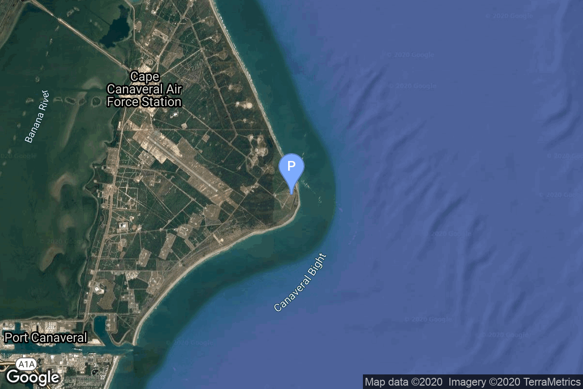
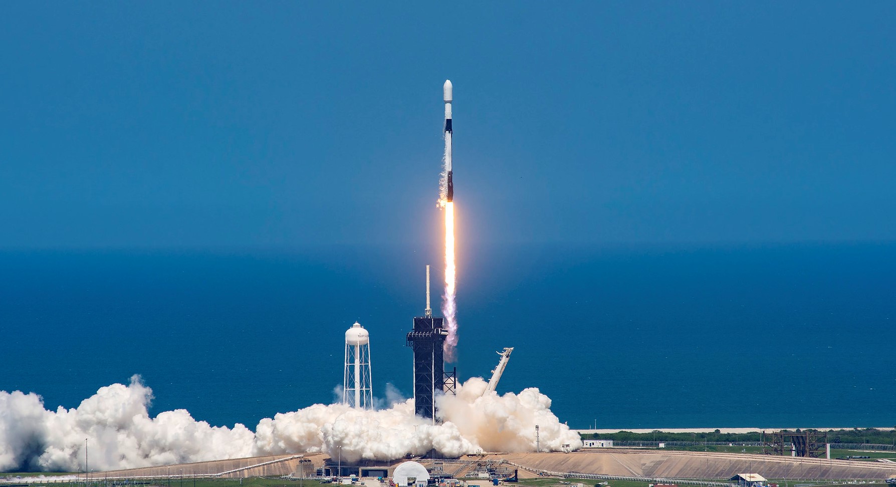
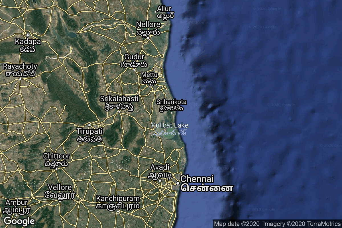
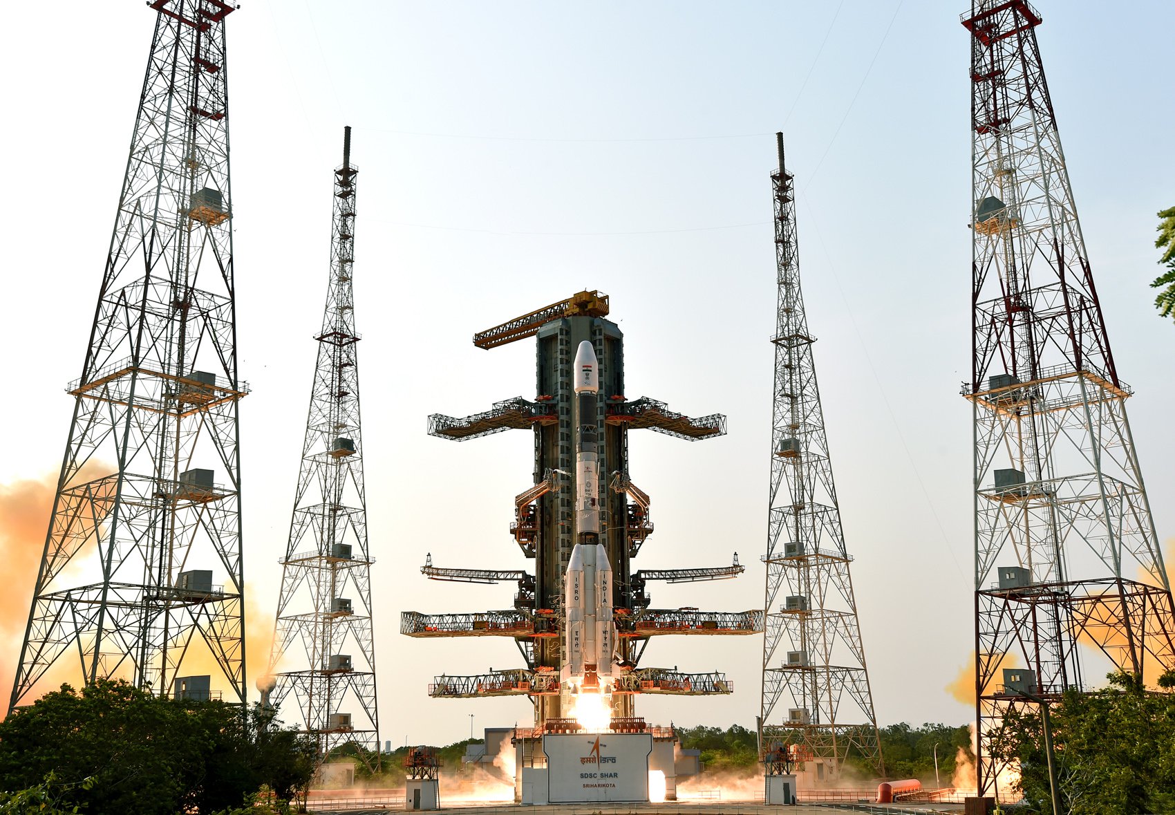
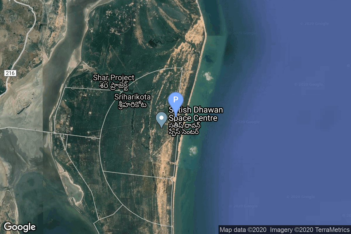
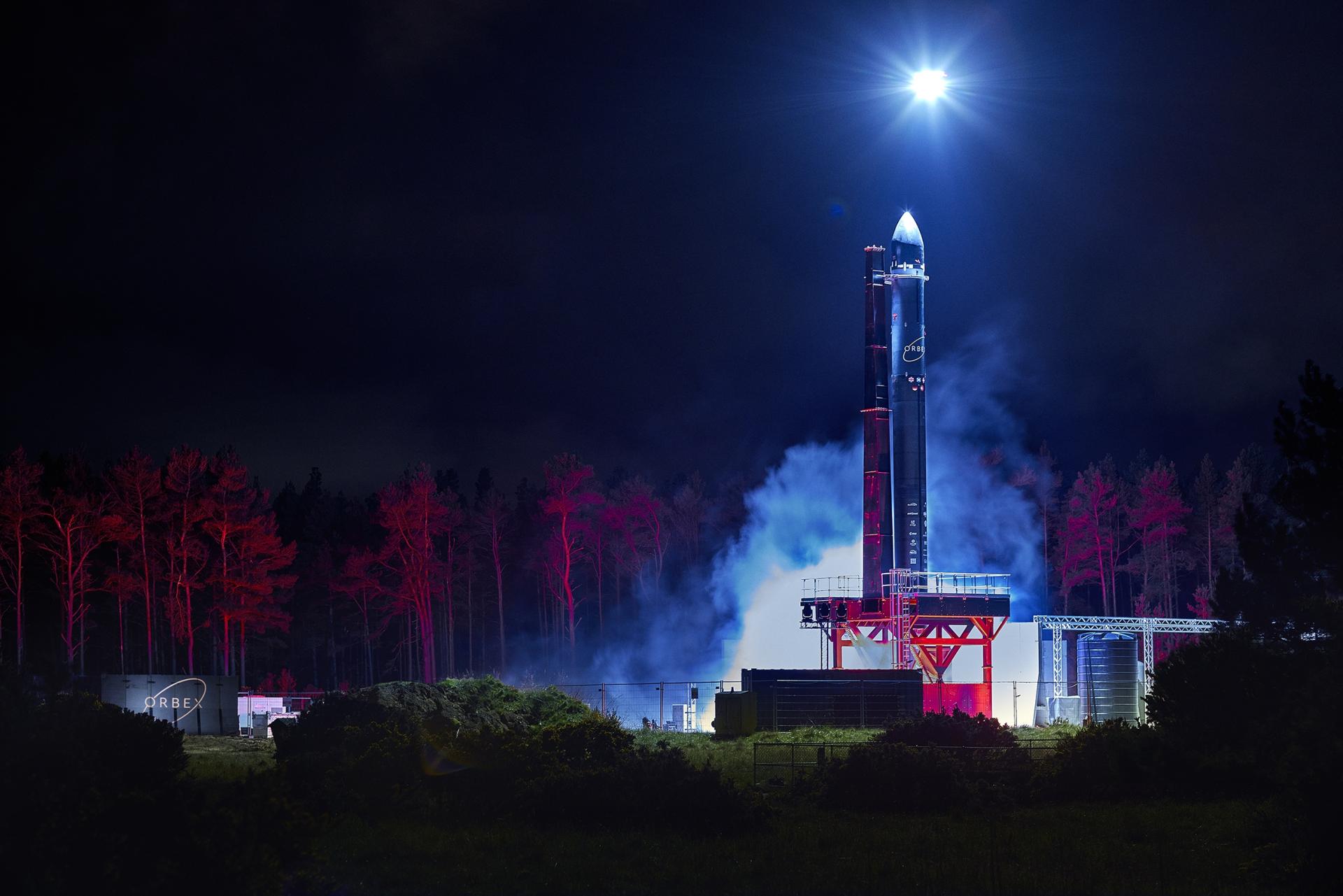
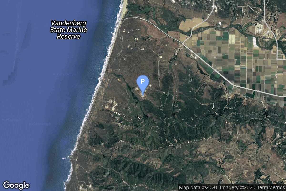
{ "count": 535, "next": "https://lldev.thespacedevs.com/2.0.0/launch/?format=api&limit=10&offset=430&ordering=net", "previous": "https://lldev.thespacedevs.com/2.0.0/launch/?format=api&limit=10&offset=410&ordering=net", "results": [ { "id": "0c26b3d4-43e3-4c1a-8976-592ff319bc51", "url": "https://lldev.thespacedevs.com/2.0.0/launch/0c26b3d4-43e3-4c1a-8976-592ff319bc51/?format=api", "launch_library_id": null, "slug": "falcon-9-block-5-nova-c-im-3", "name": "Falcon 9 Block 5 | Nova-C IM-3", "status": { "id": 2, "name": "TBD" }, "net": "2026-12-31T00:00:00Z", "window_end": "2026-12-31T00:00:00Z", "window_start": "2026-12-31T00:00:00Z", "inhold": false, "tbdtime": true, "tbddate": true, "probability": null, "holdreason": "", "failreason": "", "hashtag": null, "launch_service_provider": { "id": 121, "url": "https://lldev.thespacedevs.com/2.0.0/agencies/121/?format=api", "name": "SpaceX", "type": "Commercial" }, "rocket": { "id": 7454, "configuration": { "id": 164, "launch_library_id": 188, "url": "https://lldev.thespacedevs.com/2.0.0/config/launcher/164/?format=api", "name": "Falcon 9", "family": "Falcon", "full_name": "Falcon 9 Block 5", "variant": "Block 5" } }, "mission": { "id": 5852, "launch_library_id": null, "name": "Nova-C IM-3", "description": "This is the third mission to the Moon for Intuitive Machines with its Nova-C lunar lander. It is to deliver 130 kg of payloads to the lunar surface. This mission also includes a rideshare possibility due to available excess capacity on the launch vehicle.", "launch_designator": null, "type": "Lunar Exploration", "orbit": { "id": 11, "name": "Lunar Orbit", "abbrev": "LO" } }, "pad": { "id": 72, "url": "https://lldev.thespacedevs.com/2.0.0/pad/72/?format=api", "agency_id": null, "name": "Unknown Pad", "info_url": null, "wiki_url": "", "map_url": "https://www.google.com/maps?q=28.458,-80.528", "latitude": "28.458", "longitude": "-80.528", "location": { "id": 12, "url": "https://lldev.thespacedevs.com/2.0.0/location/12/?format=api", "name": "Cape Canaveral SFS, FL, USA", "country_code": "USA", "map_image": "https://thespacedevs-dev.nyc3.digitaloceanspaces.com/media/map_images/location_12_20200803142519.jpg", "total_launch_count": 1115, "total_landing_count": 75 }, "map_image": "https://thespacedevs-dev.nyc3.digitaloceanspaces.com/media/map_images/pad_72_20200803143403.jpg", "total_launch_count": 0 }, "webcast_live": false, "image": "https://thespacedevs-dev.nyc3.digitaloceanspaces.com/media/images/falcon_9_image_20230807133459.jpeg", "infographic": null, "program": [] }, { "id": "0cf92611-82a8-4095-a0b4-dda2e74b1fff", "url": "https://lldev.thespacedevs.com/2.0.0/launch/0cf92611-82a8-4095-a0b4-dda2e74b1fff/?format=api", "launch_library_id": 1881, "slug": "gslv-mk-ii-gsat-32", "name": "GSLV Mk II | GSAT-32", "status": { "id": 2, "name": "TBD" }, "net": "2026-12-31T00:00:00Z", "window_end": "2026-12-31T00:00:00Z", "window_start": "2026-12-31T00:00:00Z", "inhold": false, "tbdtime": true, "tbddate": true, "probability": null, "holdreason": "", "failreason": "", "hashtag": null, "launch_service_provider": { "id": 31, "url": "https://lldev.thespacedevs.com/2.0.0/agencies/31/?format=api", "name": "Indian Space Research Organization", "type": "Government" }, "rocket": { "id": 2660, "configuration": { "id": 168, "launch_library_id": 60, "url": "https://lldev.thespacedevs.com/2.0.0/config/launcher/168/?format=api", "name": "GSLV Mk II", "family": "GSLV", "full_name": "GSLV Mk. II", "variant": "" } }, "mission": null, "pad": { "id": 82, "url": "https://lldev.thespacedevs.com/2.0.0/pad/82/?format=api", "agency_id": 31, "name": "Satish Dhawan Space Centre Second Launch Pad", "info_url": null, "wiki_url": "https://en.wikipedia.org/wiki/Satish_Dhawan_Space_Centre_Second_Launch_Pad", "map_url": "https://www.google.com/maps?q=13.7199,80.2304", "latitude": "13.7199", "longitude": "80.2304", "location": { "id": 14, "url": "https://lldev.thespacedevs.com/2.0.0/location/14/?format=api", "name": "Satish Dhawan Space Centre, India", "country_code": "IND", "map_image": "https://thespacedevs-dev.nyc3.digitaloceanspaces.com/media/map_images/location_14_20200803142403.jpg", "total_launch_count": 103, "total_landing_count": 0 }, "map_image": "https://thespacedevs-dev.nyc3.digitaloceanspaces.com/media/map_images/pad_82_20200803143602.jpg", "total_launch_count": 32 }, "webcast_live": false, "image": "https://thespacedevs-dev.nyc3.digitaloceanspaces.com/media/images/gslv2520mk2520ii_image_20190825171642.jpg", "infographic": null, "program": [] }, { "id": "10fa7952-f00b-4292-80a2-4207e208844e", "url": "https://lldev.thespacedevs.com/2.0.0/launch/10fa7952-f00b-4292-80a2-4207e208844e/?format=api", "launch_library_id": null, "slug": "vikram-i-demo-flight", "name": "Vikram-I | Demo Flight", "status": { "id": 2, "name": "TBD" }, "net": "2026-12-31T00:00:00Z", "window_end": "2026-12-31T00:00:00Z", "window_start": "2026-12-31T00:00:00Z", "inhold": false, "tbdtime": true, "tbddate": true, "probability": null, "holdreason": "", "failreason": "", "hashtag": null, "launch_service_provider": { "id": 1099, "url": "https://lldev.thespacedevs.com/2.0.0/agencies/1099/?format=api", "name": "Skyroot Aerospace", "type": "Private" }, "rocket": { "id": 8799, "configuration": { "id": 532, "launch_library_id": null, "url": "https://lldev.thespacedevs.com/2.0.0/config/launcher/532/?format=api", "name": "Vikram-I", "family": "Vikram", "full_name": "Vikram-I", "variant": "" } }, "mission": { "id": 7390, "launch_library_id": null, "name": "Demo Flight", "description": "First launch of Skyroot Aerospace's Vikram-I launch vehicle, with several cubesats on board. Payload identities TBD.", "launch_designator": null, "type": "Test Flight", "orbit": { "id": 8, "name": "Low Earth Orbit", "abbrev": "LEO" } }, "pad": { "id": 50, "url": "https://lldev.thespacedevs.com/2.0.0/pad/50/?format=api", "agency_id": 31, "name": "Satish Dhawan Space Centre First Launch Pad", "info_url": null, "wiki_url": "https://en.wikipedia.org/wiki/Satish_Dhawan_Space_Centre_First_Launch_Pad", "map_url": "https://www.google.com/maps?q=13.733,80.235", "latitude": "13.733", "longitude": "80.235", "location": { "id": 14, "url": "https://lldev.thespacedevs.com/2.0.0/location/14/?format=api", "name": "Satish Dhawan Space Centre, India", "country_code": "IND", "map_image": "https://thespacedevs-dev.nyc3.digitaloceanspaces.com/media/map_images/location_14_20200803142403.jpg", "total_launch_count": 103, "total_landing_count": 0 }, "map_image": "https://thespacedevs-dev.nyc3.digitaloceanspaces.com/media/map_images/pad_50_20200803143457.jpg", "total_launch_count": 63 }, "webcast_live": false, "image": "https://thespacedevs-dev.nyc3.digitaloceanspaces.com/media/images/vikram-i_artist_image_20251115043247.jpg", "infographic": null, "program": [] }, { "id": "1b11f81e-cdbf-49aa-a7ce-aa79f609046c", "url": "https://lldev.thespacedevs.com/2.0.0/launch/1b11f81e-cdbf-49aa-a7ce-aa79f609046c/?format=api", "launch_library_id": null, "slug": "orbex-prime-maiden-flight", "name": "Orbex Prime | Maiden Flight", "status": { "id": 2, "name": "TBD" }, "net": "2026-12-31T00:00:00Z", "window_end": "2026-12-31T00:00:00Z", "window_start": "2026-12-31T00:00:00Z", "inhold": false, "tbdtime": true, "tbddate": true, "probability": null, "holdreason": "", "failreason": "", "hashtag": null, "launch_service_provider": { "id": 1033, "url": "https://lldev.thespacedevs.com/2.0.0/agencies/1033/?format=api", "name": "Orbex", "type": "Commercial" }, "rocket": { "id": 7575, "configuration": { "id": 480, "launch_library_id": null, "url": "https://lldev.thespacedevs.com/2.0.0/config/launcher/480/?format=api", "name": "Prime", "family": "", "full_name": "Orbex Prime", "variant": "Prime" } }, "mission": { "id": 6018, "launch_library_id": null, "name": "Maiden Flight", "description": "Maiden flight of Orbex's Prime rocket from Sutherland Spaceport. This flights marks the first vertical orbital launch attempt from the United Kingdom, and the first orbital launch attempt from Scotland.", "launch_designator": null, "type": "Test Flight", "orbit": { "id": 25, "name": "Unknown", "abbrev": "N/A" } }, "pad": { "id": 237, "url": "https://lldev.thespacedevs.com/2.0.0/pad/237/?format=api", "agency_id": null, "name": "Unknown Pad", "info_url": null, "wiki_url": "https://en.wikipedia.org/wiki/SaxaVord_Spaceport", "map_url": "https://www.google.com/maps?q=60.8184,-0.7692", "latitude": "60.8184", "longitude": "-0.7692", "location": { "id": 157, "url": "https://lldev.thespacedevs.com/2.0.0/location/157/?format=api", "name": "SaxaVord Spaceport", "country_code": "GBR", "map_image": "https://thespacedevs-dev.nyc3.digitaloceanspaces.com/media/map_images/location_saxavord_spaceport_20211102161146.jpg", "total_launch_count": 0, "total_landing_count": 0 }, "map_image": "https://thespacedevs-dev.nyc3.digitaloceanspaces.com/media/map_images/pad_unknown_pad_20241227075133.jpg", "total_launch_count": 0 }, "webcast_live": false, "image": "https://thespacedevs-dev.nyc3.digitaloceanspaces.com/media/images/prime_image_20220511125637.jpg", "infographic": null, "program": [] }, { "id": "1ce39fa1-5f79-4d7b-9aa9-9a5aad74a46a", "url": "https://lldev.thespacedevs.com/2.0.0/launch/1ce39fa1-5f79-4d7b-9aa9-9a5aad74a46a/?format=api", "launch_library_id": null, "slug": "falcon-9-block-5-telesat-lightspeed-7", "name": "Falcon 9 Block 5 | Telesat Lightspeed 7", "status": { "id": 2, "name": "TBD" }, "net": "2026-12-31T00:00:00Z", "window_end": "2026-12-31T00:00:00Z", "window_start": "2026-12-31T00:00:00Z", "inhold": false, "tbdtime": true, "tbddate": true, "probability": null, "holdreason": "", "failreason": "", "hashtag": null, "launch_service_provider": { "id": 121, "url": "https://lldev.thespacedevs.com/2.0.0/agencies/121/?format=api", "name": "SpaceX", "type": "Commercial" }, "rocket": { "id": 8010, "configuration": { "id": 164, "launch_library_id": 188, "url": "https://lldev.thespacedevs.com/2.0.0/config/launcher/164/?format=api", "name": "Falcon 9", "family": "Falcon", "full_name": "Falcon 9 Block 5", "variant": "Block 5" } }, "mission": { "id": 6546, "launch_library_id": null, "name": "Telesat Lightspeed 7", "description": "Up to 18 satellites manufactured by MDA for Canadian satellite operator Telesat's Lightspeed constellation.", "launch_designator": null, "type": "Communications", "orbit": { "id": 8, "name": "Low Earth Orbit", "abbrev": "LEO" } }, "pad": { "id": 72, "url": "https://lldev.thespacedevs.com/2.0.0/pad/72/?format=api", "agency_id": null, "name": "Unknown Pad", "info_url": null, "wiki_url": "", "map_url": "https://www.google.com/maps?q=28.458,-80.528", "latitude": "28.458", "longitude": "-80.528", "location": { "id": 12, "url": "https://lldev.thespacedevs.com/2.0.0/location/12/?format=api", "name": "Cape Canaveral SFS, FL, USA", "country_code": "USA", "map_image": "https://thespacedevs-dev.nyc3.digitaloceanspaces.com/media/map_images/location_12_20200803142519.jpg", "total_launch_count": 1115, "total_landing_count": 75 }, "map_image": "https://thespacedevs-dev.nyc3.digitaloceanspaces.com/media/map_images/pad_72_20200803143403.jpg", "total_launch_count": 0 }, "webcast_live": false, "image": "https://thespacedevs-dev.nyc3.digitaloceanspaces.com/media/images/falcon_9_image_20230807133459.jpeg", "infographic": null, "program": [] }, { "id": "1e74ee8f-c0fe-4ad6-9db3-26ae953d8a2e", "url": "https://lldev.thespacedevs.com/2.0.0/launch/1e74ee8f-c0fe-4ad6-9db3-26ae953d8a2e/?format=api", "launch_library_id": null, "slug": "vulcan-sda-tranche-2-transport-layer-b", "name": "Vulcan | SDA Tranche 2 Transport Layer B", "status": { "id": 2, "name": "TBD" }, "net": "2026-12-31T00:00:00Z", "window_end": "2026-12-31T00:00:00Z", "window_start": "2026-12-31T00:00:00Z", "inhold": false, "tbdtime": true, "tbddate": true, "probability": null, "holdreason": "", "failreason": "", "hashtag": null, "launch_service_provider": { "id": 124, "url": "https://lldev.thespacedevs.com/2.0.0/agencies/124/?format=api", "name": "United Launch Alliance", "type": "Commercial" }, "rocket": { "id": 8069, "configuration": { "id": 200, "launch_library_id": 226, "url": "https://lldev.thespacedevs.com/2.0.0/config/launcher/200/?format=api", "name": "Vulcan", "family": "Vulcan", "full_name": "Vulcan", "variant": "Vulcan" } }, "mission": { "id": 6622, "launch_library_id": null, "name": "SDA Tranche 2 Transport Layer B", "description": "Classified mission launched by the Space Development Agency (SDA) for Tranche 2 Transport Layer.", "launch_designator": null, "type": "Government/Top Secret", "orbit": { "id": 13, "name": "Polar Orbit", "abbrev": "PO" } }, "pad": { "id": 24, "url": "https://lldev.thespacedevs.com/2.0.0/pad/24/?format=api", "agency_id": 161, "name": "Space Launch Complex 3E", "info_url": null, "wiki_url": "https://en.wikipedia.org/wiki/Vandenberg_Space_Launch_Complex_3#SLC-3E", "map_url": "https://www.google.com/maps?q=34.64,-120.5895", "latitude": "34.64", "longitude": "-120.5895", "location": { "id": 11, "url": "https://lldev.thespacedevs.com/2.0.0/location/11/?format=api", "name": "Vandenberg SFB, CA, USA", "country_code": "USA", "map_image": "https://thespacedevs-dev.nyc3.digitaloceanspaces.com/media/map_images/location_11_20200803142416.jpg", "total_launch_count": 892, "total_landing_count": 35 }, "map_image": "https://thespacedevs-dev.nyc3.digitaloceanspaces.com/media/map_images/pad_24_20200803143552.jpg", "total_launch_count": 48 }, "webcast_live": false, "image": "https://thespacedevs-dev.nyc3.digitaloceanspaces.com/media/images/vulcan_image_20240107162928.jpeg", "infographic": null, "program": [] }, { "id": "1fa3741c-3339-4954-a026-2cd9d36161c0", "url": "https://lldev.thespacedevs.com/2.0.0/launch/1fa3741c-3339-4954-a026-2cd9d36161c0/?format=api", "launch_library_id": null, "slug": "falcon-9-block-5-rivada-7", "name": "Falcon 9 Block 5 | Rivada 7", "status": { "id": 2, "name": "TBD" }, "net": "2026-12-31T00:00:00Z", "window_end": "2026-12-31T00:00:00Z", "window_start": "2026-12-31T00:00:00Z", "inhold": false, "tbdtime": true, "tbddate": true, "probability": null, "holdreason": "", "failreason": "", "hashtag": null, "launch_service_provider": { "id": 121, "url": "https://lldev.thespacedevs.com/2.0.0/agencies/121/?format=api", "name": "SpaceX", "type": "Commercial" }, "rocket": { "id": 7805, "configuration": { "id": 164, "launch_library_id": 188, "url": "https://lldev.thespacedevs.com/2.0.0/config/launcher/164/?format=api", "name": "Falcon 9", "family": "Falcon", "full_name": "Falcon 9 Block 5", "variant": "Block 5" } }, "mission": { "id": 6573, "launch_library_id": null, "name": "Rivada 7", "description": "24 satellites for Rivada's internet constellation.", "launch_designator": null, "type": "Communications", "orbit": { "id": 13, "name": "Polar Orbit", "abbrev": "PO" } }, "pad": { "id": 16, "url": "https://lldev.thespacedevs.com/2.0.0/pad/16/?format=api", "agency_id": null, "name": "Space Launch Complex 4E", "info_url": null, "wiki_url": "https://en.wikipedia.org/wiki/Vandenberg_Space_Launch_Complex_4#SLC-4E", "map_url": "https://www.google.com/maps?q=34.632,-120.611", "latitude": "34.632", "longitude": "-120.611", "location": { "id": 11, "url": "https://lldev.thespacedevs.com/2.0.0/location/11/?format=api", "name": "Vandenberg SFB, CA, USA", "country_code": "USA", "map_image": "https://thespacedevs-dev.nyc3.digitaloceanspaces.com/media/map_images/location_11_20200803142416.jpg", "total_launch_count": 892, "total_landing_count": 35 }, "map_image": "https://thespacedevs-dev.nyc3.digitaloceanspaces.com/media/map_images/pad_16_20200803143532.jpg", "total_launch_count": 276 }, "webcast_live": false, "image": "https://thespacedevs-dev.nyc3.digitaloceanspaces.com/media/images/falcon_9_image_20230807133459.jpeg", "infographic": null, "program": [] }, { "id": "20d5676e-111b-40e3-8923-b218c3665ca2", "url": "https://lldev.thespacedevs.com/2.0.0/launch/20d5676e-111b-40e3-8923-b218c3665ca2/?format=api", "launch_library_id": null, "slug": "gslv-mk-ii-irnss-1l-nvs-03", "name": "GSLV Mk II | IRNSS-1L (NVS-03)", "status": { "id": 2, "name": "TBD" }, "net": "2026-12-31T00:00:00Z", "window_end": "2026-12-31T00:00:00Z", "window_start": "2026-12-31T00:00:00Z", "inhold": false, "tbdtime": true, "tbddate": true, "probability": null, "holdreason": "", "failreason": "", "hashtag": null, "launch_service_provider": { "id": 31, "url": "https://lldev.thespacedevs.com/2.0.0/agencies/31/?format=api", "name": "Indian Space Research Organization", "type": "Government" }, "rocket": { "id": 8637, "configuration": { "id": 168, "launch_library_id": 60, "url": "https://lldev.thespacedevs.com/2.0.0/config/launcher/168/?format=api", "name": "GSLV Mk II", "family": "GSLV", "full_name": "GSLV Mk. II", "variant": "" } }, "mission": { "id": 7229, "launch_library_id": null, "name": "IRNSS-1L (NVS-03)", "description": "This is a replacement satellite for the Indian Regional Navigation Satellite System. The constellation will provide India with an alternative to GPS and will be used for military and civilian use. Located at a geosynchronous orbit, the system will be operated by the Indian government.", "launch_designator": null, "type": "Navigation", "orbit": { "id": 2, "name": "Geostationary Transfer Orbit", "abbrev": "GTO" } }, "pad": { "id": 82, "url": "https://lldev.thespacedevs.com/2.0.0/pad/82/?format=api", "agency_id": 31, "name": "Satish Dhawan Space Centre Second Launch Pad", "info_url": null, "wiki_url": "https://en.wikipedia.org/wiki/Satish_Dhawan_Space_Centre_Second_Launch_Pad", "map_url": "https://www.google.com/maps?q=13.7199,80.2304", "latitude": "13.7199", "longitude": "80.2304", "location": { "id": 14, "url": "https://lldev.thespacedevs.com/2.0.0/location/14/?format=api", "name": "Satish Dhawan Space Centre, India", "country_code": "IND", "map_image": "https://thespacedevs-dev.nyc3.digitaloceanspaces.com/media/map_images/location_14_20200803142403.jpg", "total_launch_count": 103, "total_landing_count": 0 }, "map_image": "https://thespacedevs-dev.nyc3.digitaloceanspaces.com/media/map_images/pad_82_20200803143602.jpg", "total_launch_count": 32 }, "webcast_live": false, "image": "https://thespacedevs-dev.nyc3.digitaloceanspaces.com/media/images/gslv2520mk252_image_20240101090337.jpg", "infographic": null, "program": [] }, { "id": "20fa8dc4-8cab-41cf-b452-98a2620f7e86", "url": "https://lldev.thespacedevs.com/2.0.0/launch/20fa8dc4-8cab-41cf-b452-98a2620f7e86/?format=api", "launch_library_id": null, "slug": "falcon-9-block-5-rivada-2", "name": "Falcon 9 Block 5 | Rivada 2", "status": { "id": 2, "name": "TBD" }, "net": "2026-12-31T00:00:00Z", "window_end": "2026-12-31T00:00:00Z", "window_start": "2026-12-31T00:00:00Z", "inhold": false, "tbdtime": true, "tbddate": true, "probability": null, "holdreason": "", "failreason": "", "hashtag": null, "launch_service_provider": { "id": 121, "url": "https://lldev.thespacedevs.com/2.0.0/agencies/121/?format=api", "name": "SpaceX", "type": "Commercial" }, "rocket": { "id": 7800, "configuration": { "id": 164, "launch_library_id": 188, "url": "https://lldev.thespacedevs.com/2.0.0/config/launcher/164/?format=api", "name": "Falcon 9", "family": "Falcon", "full_name": "Falcon 9 Block 5", "variant": "Block 5" } }, "mission": { "id": 6568, "launch_library_id": null, "name": "Rivada 2", "description": "24 satellites for Rivada's internet constellation.", "launch_designator": null, "type": "Communications", "orbit": { "id": 13, "name": "Polar Orbit", "abbrev": "PO" } }, "pad": { "id": 16, "url": "https://lldev.thespacedevs.com/2.0.0/pad/16/?format=api", "agency_id": null, "name": "Space Launch Complex 4E", "info_url": null, "wiki_url": "https://en.wikipedia.org/wiki/Vandenberg_Space_Launch_Complex_4#SLC-4E", "map_url": "https://www.google.com/maps?q=34.632,-120.611", "latitude": "34.632", "longitude": "-120.611", "location": { "id": 11, "url": "https://lldev.thespacedevs.com/2.0.0/location/11/?format=api", "name": "Vandenberg SFB, CA, USA", "country_code": "USA", "map_image": "https://thespacedevs-dev.nyc3.digitaloceanspaces.com/media/map_images/location_11_20200803142416.jpg", "total_launch_count": 892, "total_landing_count": 35 }, "map_image": "https://thespacedevs-dev.nyc3.digitaloceanspaces.com/media/map_images/pad_16_20200803143532.jpg", "total_launch_count": 276 }, "webcast_live": false, "image": "https://thespacedevs-dev.nyc3.digitaloceanspaces.com/media/images/falcon_9_image_20230807133459.jpeg", "infographic": null, "program": [] }, { "id": "220e6d9f-33dc-4533-8a48-535ba4c559e2", "url": "https://lldev.thespacedevs.com/2.0.0/launch/220e6d9f-33dc-4533-8a48-535ba4c559e2/?format=api", "launch_library_id": 2030, "slug": "gslv-idrss-2", "name": "GSLV | IDRSS-2", "status": { "id": 2, "name": "TBD" }, "net": "2026-12-31T00:00:00Z", "window_end": "2026-12-31T00:00:00Z", "window_start": "2026-12-31T00:00:00Z", "inhold": false, "tbdtime": true, "tbddate": true, "probability": null, "holdreason": "", "failreason": "", "hashtag": null, "launch_service_provider": { "id": 31, "url": "https://lldev.thespacedevs.com/2.0.0/agencies/31/?format=api", "name": "Indian Space Research Organization", "type": "Government" }, "rocket": { "id": 2617, "configuration": { "id": 168, "launch_library_id": 60, "url": "https://lldev.thespacedevs.com/2.0.0/config/launcher/168/?format=api", "name": "GSLV Mk II", "family": "GSLV", "full_name": "GSLV Mk. II", "variant": "" } }, "mission": null, "pad": { "id": 82, "url": "https://lldev.thespacedevs.com/2.0.0/pad/82/?format=api", "agency_id": 31, "name": "Satish Dhawan Space Centre Second Launch Pad", "info_url": null, "wiki_url": "https://en.wikipedia.org/wiki/Satish_Dhawan_Space_Centre_Second_Launch_Pad", "map_url": "https://www.google.com/maps?q=13.7199,80.2304", "latitude": "13.7199", "longitude": "80.2304", "location": { "id": 14, "url": "https://lldev.thespacedevs.com/2.0.0/location/14/?format=api", "name": "Satish Dhawan Space Centre, India", "country_code": "IND", "map_image": "https://thespacedevs-dev.nyc3.digitaloceanspaces.com/media/map_images/location_14_20200803142403.jpg", "total_launch_count": 103, "total_landing_count": 0 }, "map_image": "https://thespacedevs-dev.nyc3.digitaloceanspaces.com/media/map_images/pad_82_20200803143602.jpg", "total_launch_count": 32 }, "webcast_live": false, "image": "https://thespacedevs-dev.nyc3.digitaloceanspaces.com/media/images/gslv2520mk2520ii_image_20190825171642.jpg", "infographic": null, "program": [] } ] }